by Mickey Jarvis | Jan 28, 2023 | South Arm Road, Surf
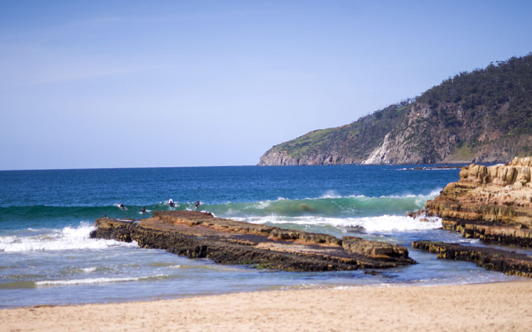
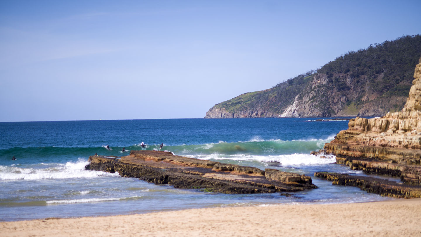
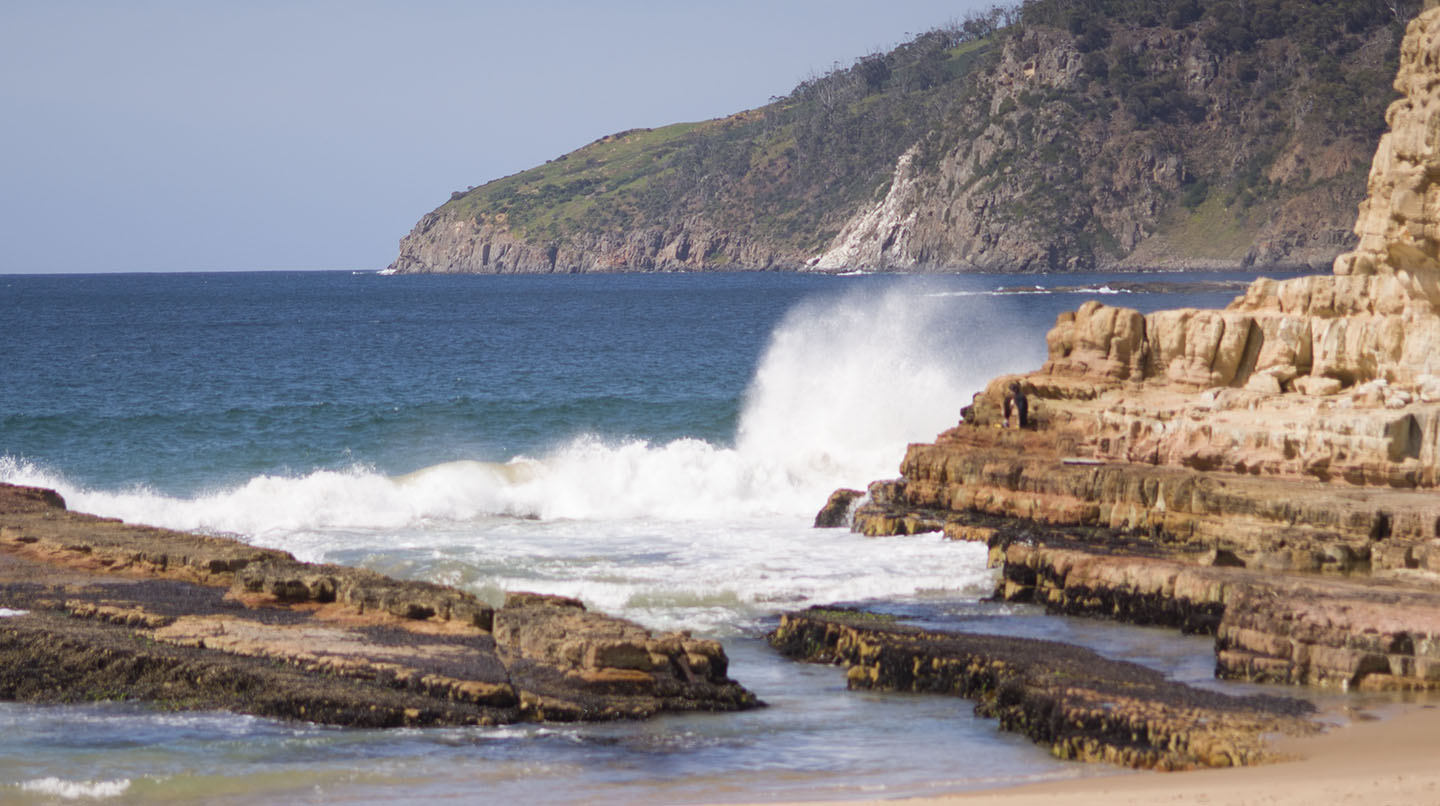
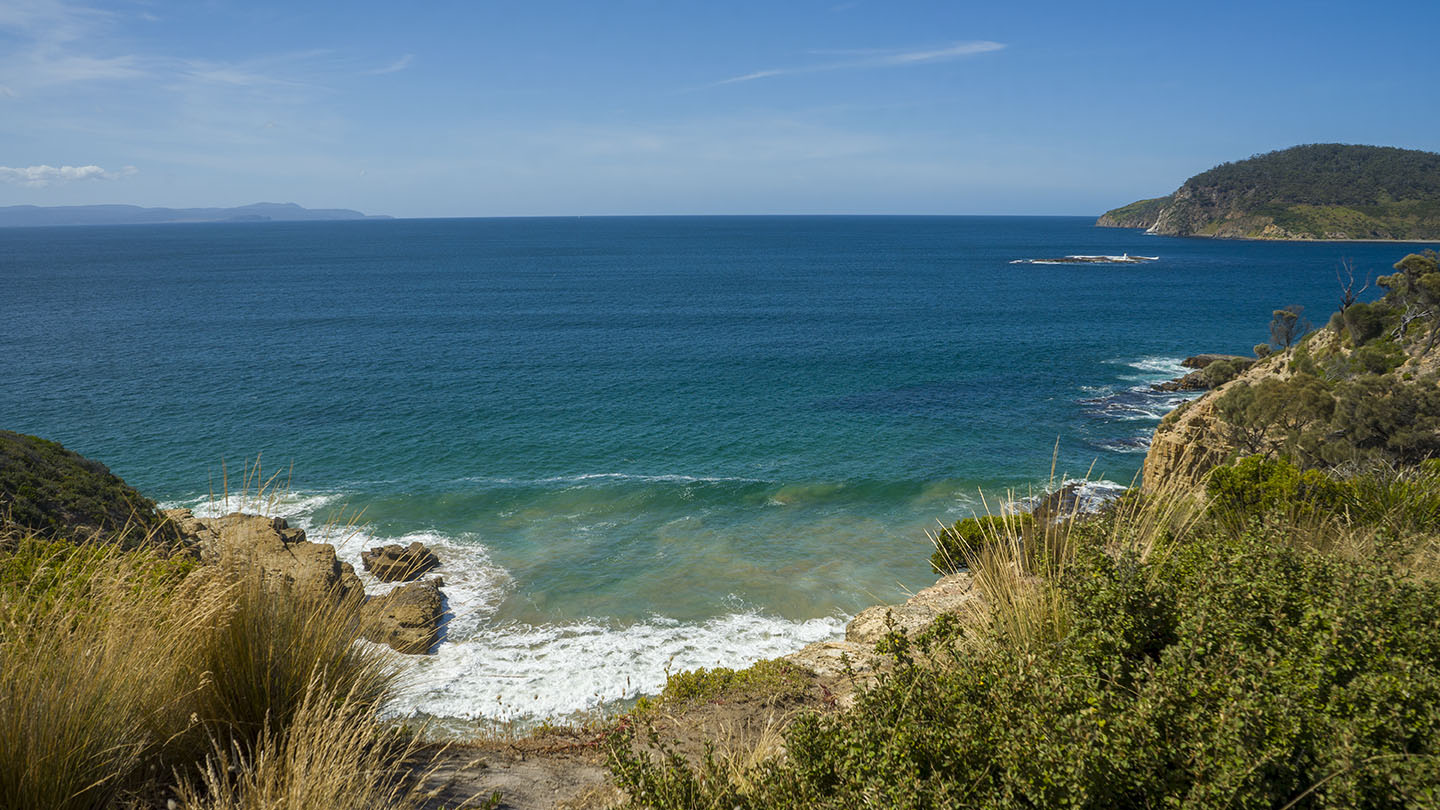
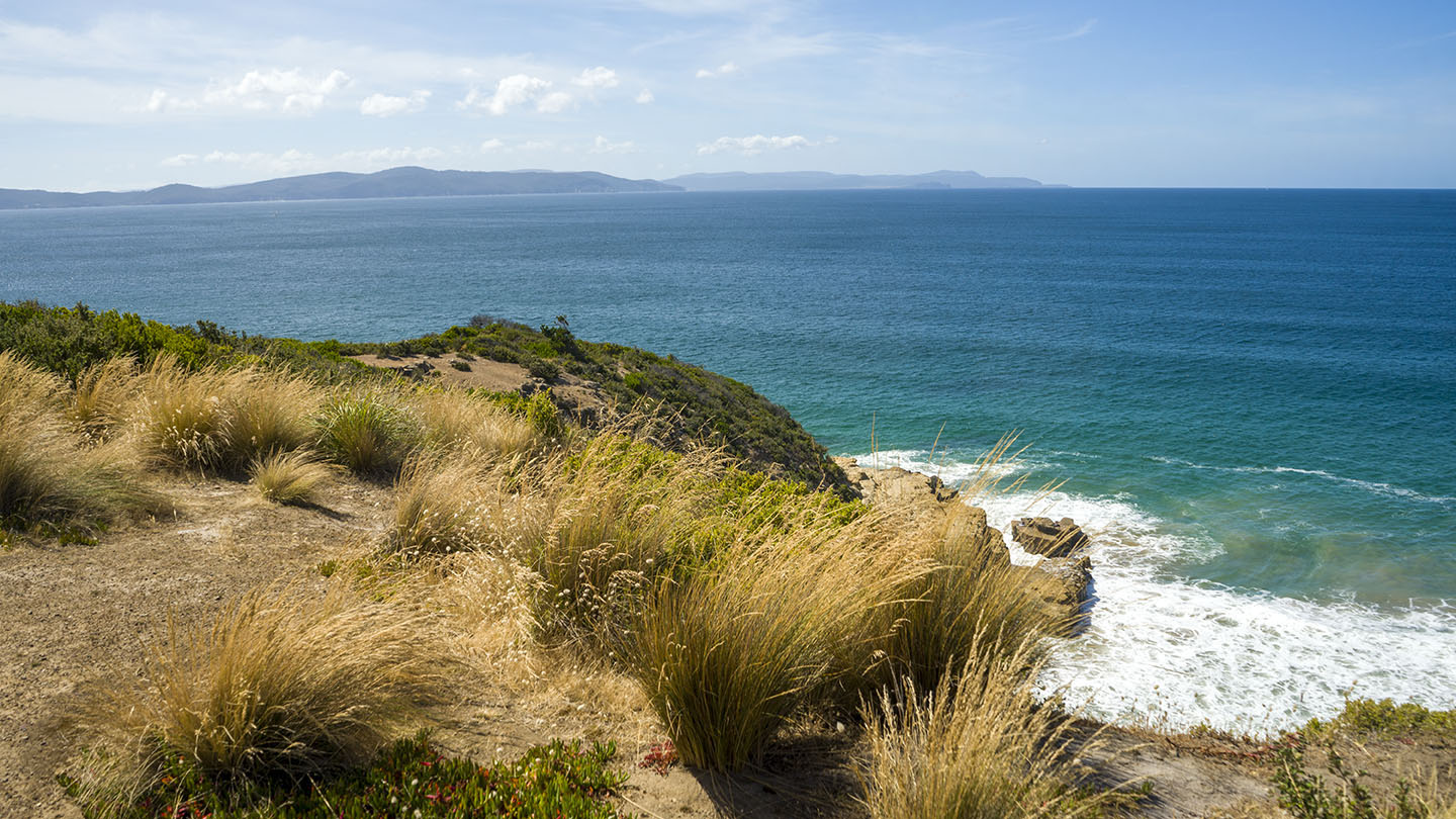
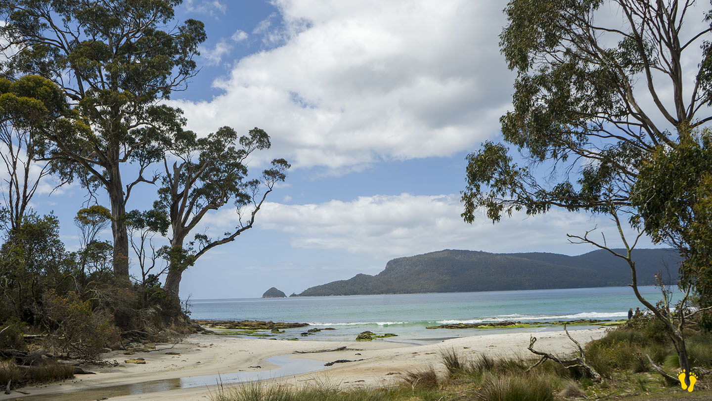
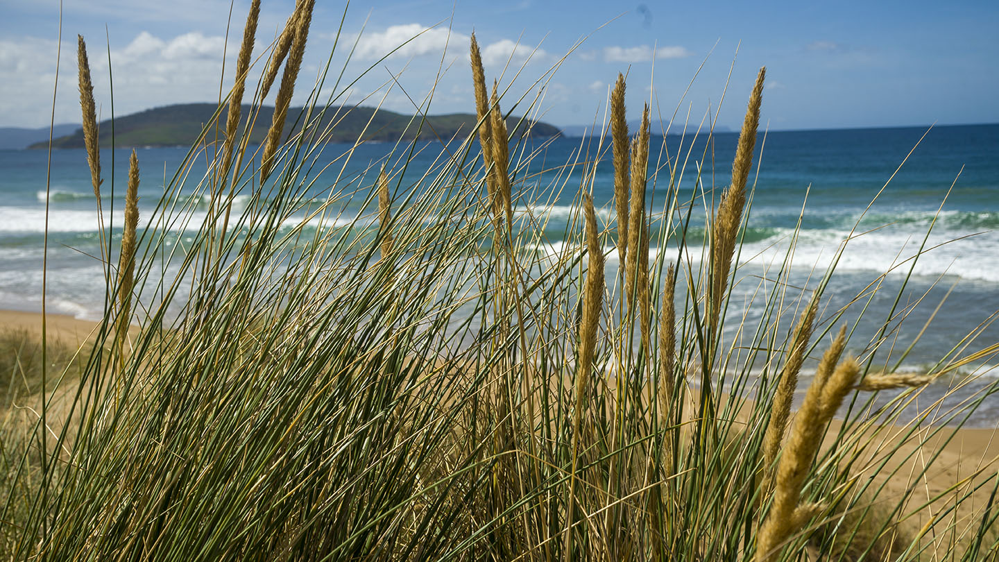
Goat Bluff is a headland on South Arm Road midway between Goat (Calverts) Beach to the east and Hope Beach to the west. A high bluff that gives you great views of Black Jack Rocks and Betsey Island to the south.
Two popular surf locations are located east and west of the bluff.
‘Goats’ to the east is accessible by road and has parking.
Wedge is a walk down from the bluff (about 400m).
by Mickey Jarvis | Dec 28, 2023 | Low Hazard, South Arm Road, South East
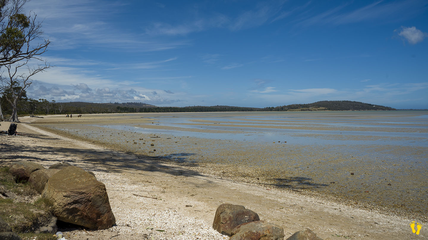
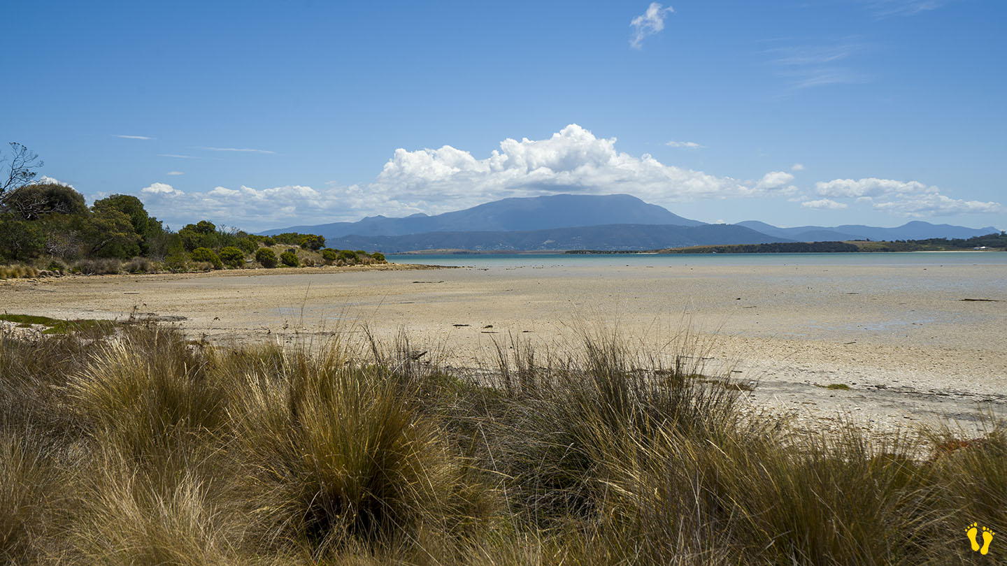
Hazard Rating: 1/10 | Parking: Good + close | from Hobart: 26 km | Faces: West into Mortimer Bay | Length: 2.7 km
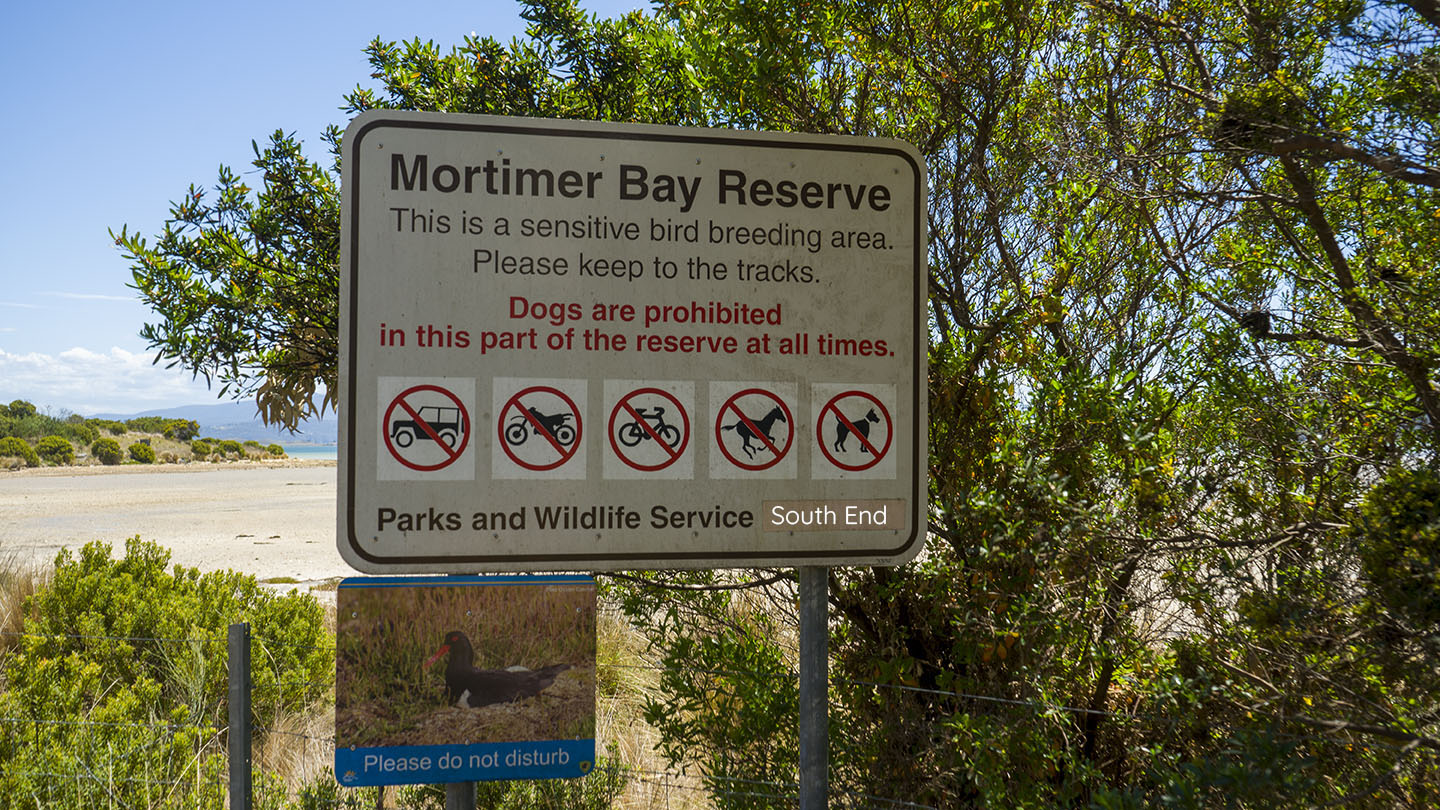
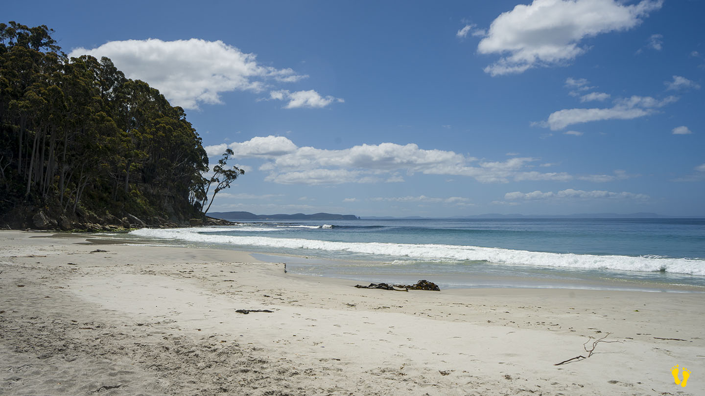
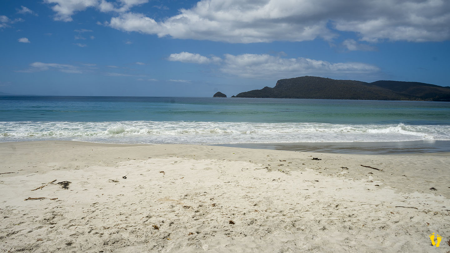
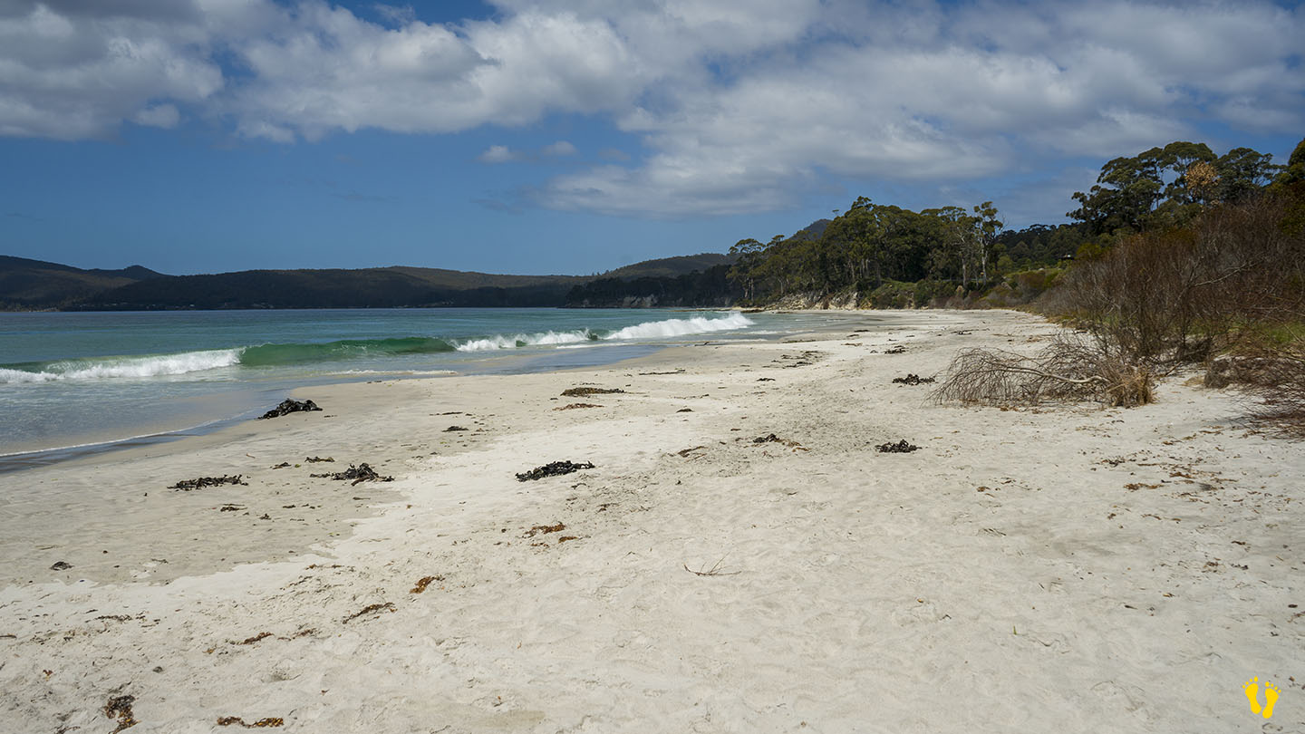
Gorringes Beach is part of the Mortimer Bay reserve in a protected area of South Arm. Access via Rifle Range Road just past Lauderdale. The north end is at the end of Rifle Range Road and the south end is further down Gellibrand Drive which forks off Rifle Range Road. No dogs on the south end.
A gradual tidal beach that is more suited for wading than swimming. Interesting birdlife and other things to explore and a wonderful beach to walk and explore with views of the east side of South Arm.
Gorringes Beach was named after Charles Francis Gorringe Senior (born 1809) who occupied the area in 1867. Mortimer Bay was named after landowner and whaler Henry William Mortimer who lived there between 1825-39.

by Mickey Jarvis | Nov 17, 2024 | Bruny Island
Hazard Rating: 3/10 | Parking: Limited | Faces: East into Adventure Bay | Length: 800 m
Original People: Nuenonne | Original Name: lunawannalonna (Bruny Island).
Hanssons Beach is north of Adventure Bay Beach and includes Two Tree Point on a small headland in the middle.
Pure white sand and a generally unknown beach that is for a great swim, walk or snorkel. The beach is named after a family that lived in the area.
A location famous for the two trees that stand at the point where Resolution Creek meets the ocean – Two Tree Point. Explorers Captain Furneaux in 1773, Captain James Cook in 1777 and Captain Bligh in 1788 stopped there for fresh water.
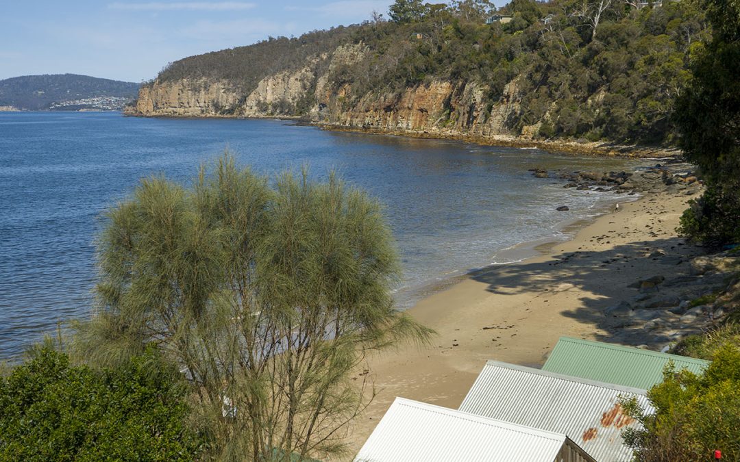
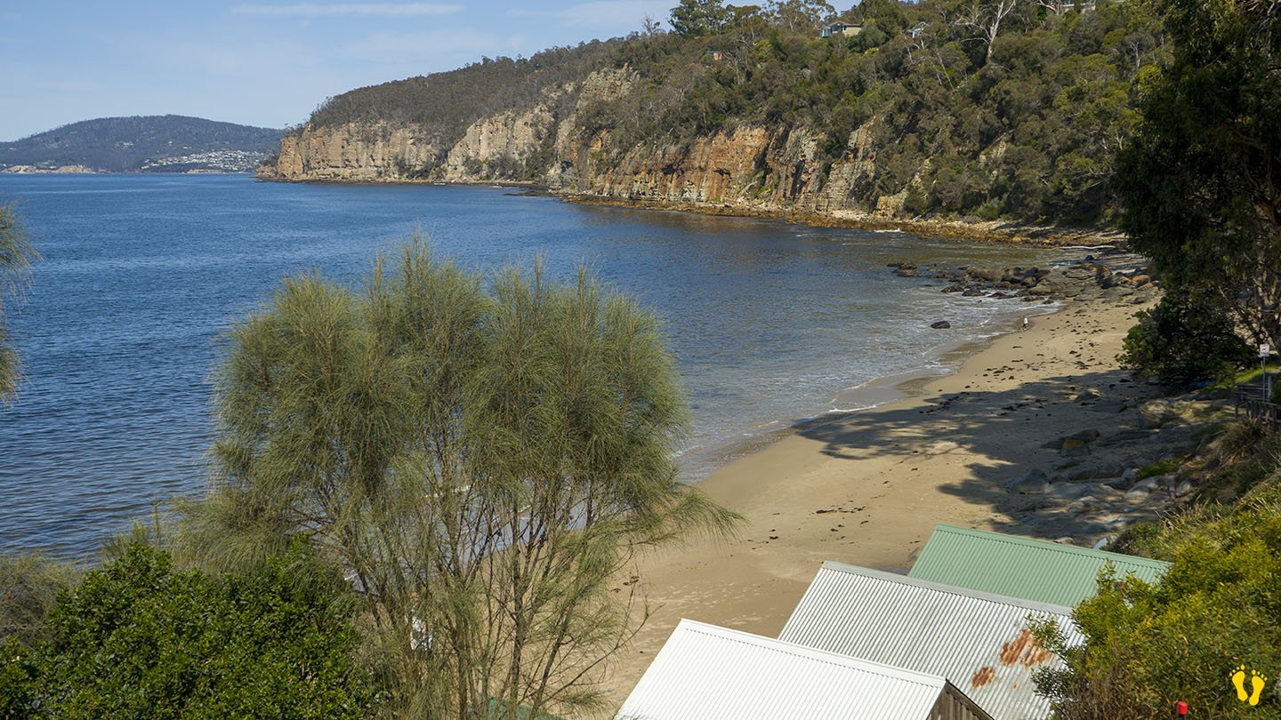
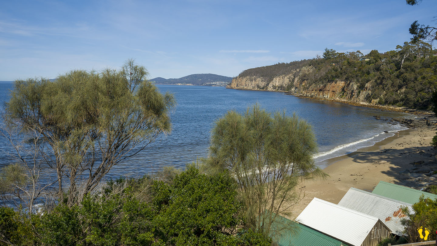
by Mickey Jarvis | Sep 28, 2024 | Greater Hobart
Hazard Rating: 3/10 | Parking: Not good | from Hobart: 10 km | Faces: S\SE into the Derwent | Length: 250m
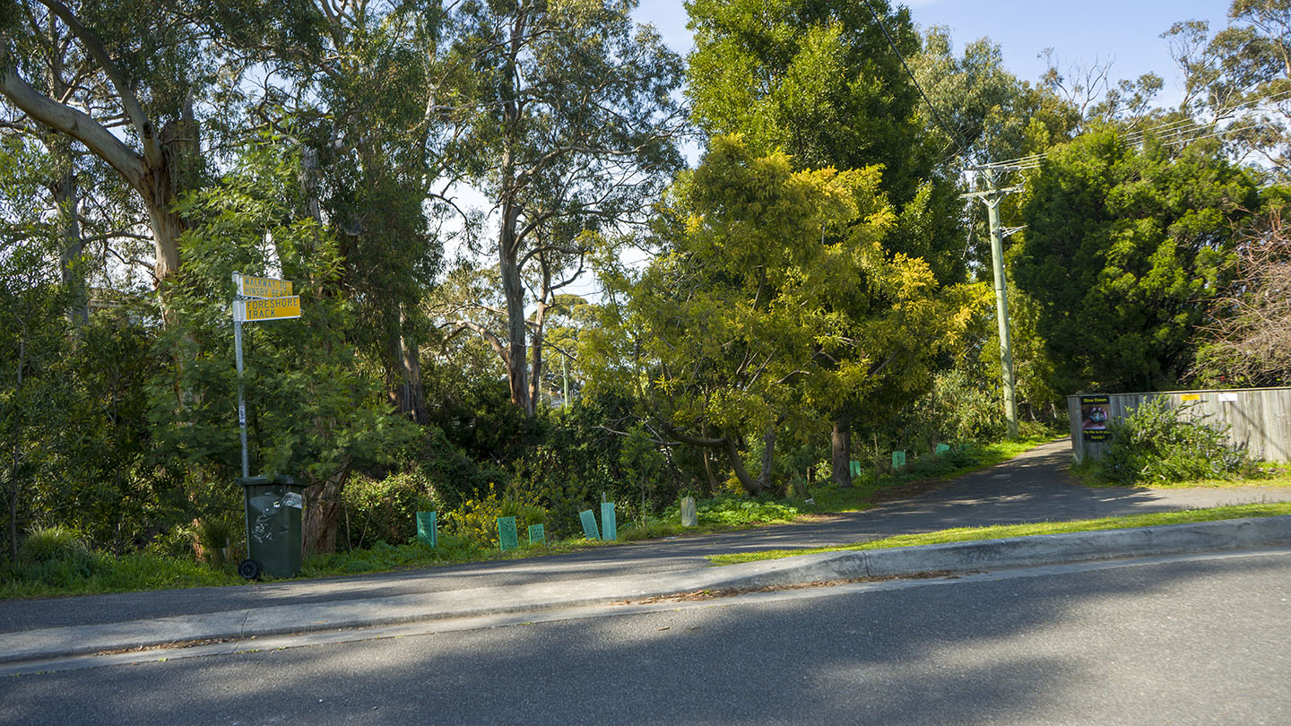
Hinsby Beach is in Taroona just south of Taroona Beach. Head down Hinsby Road (second street south past Taroona Crescent). The beach is separated from Taroona Beach by a small headland.
Parking is not great and beach access is via a walk about 100m down one of the 3 access points. Once there you will find a secluded interesting beach.
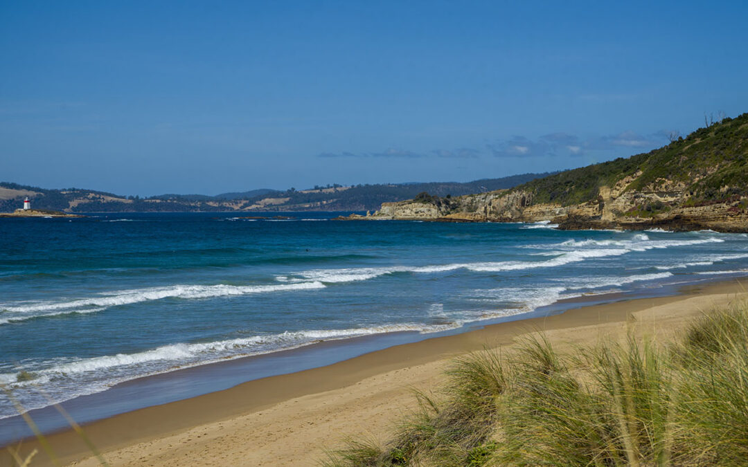
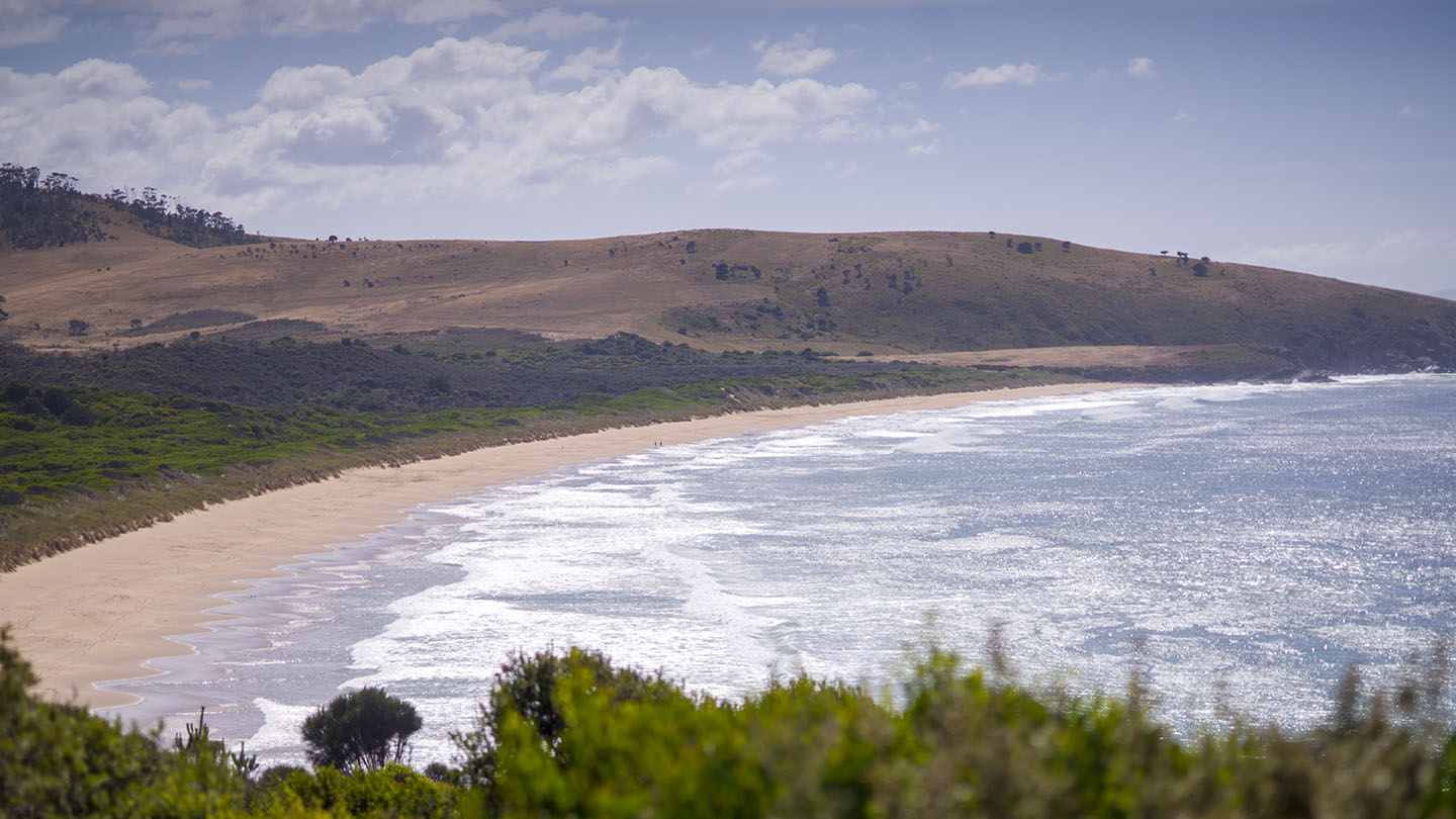
by Mickey Jarvis | Jan 28, 2023 | South Arm Road, Surf
Hazard Rating: 6/10 | Parking: OK | from Hobart: 40 km | Faces: South-ish into Storm Bay | Length: 2.5 km
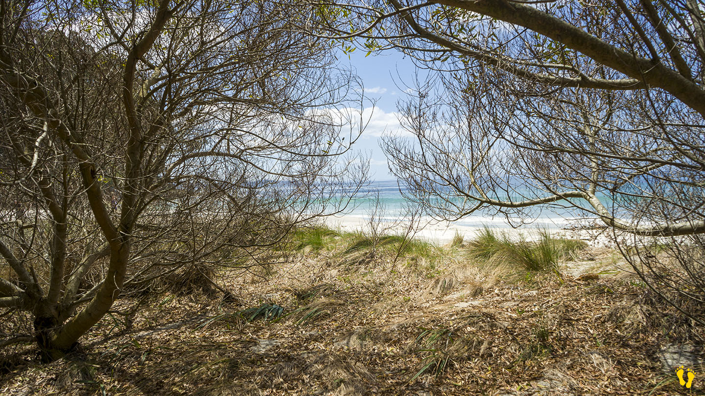
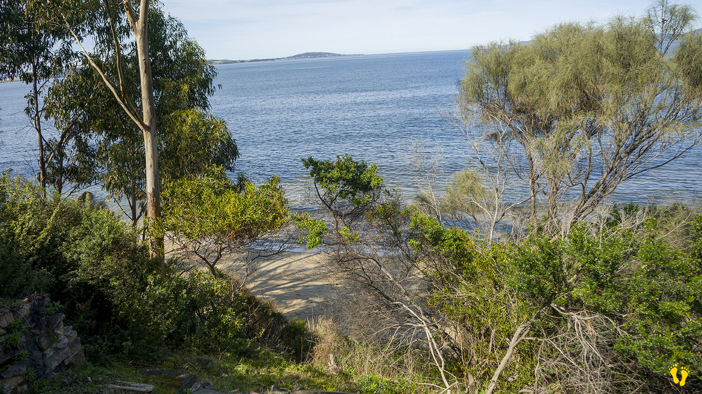
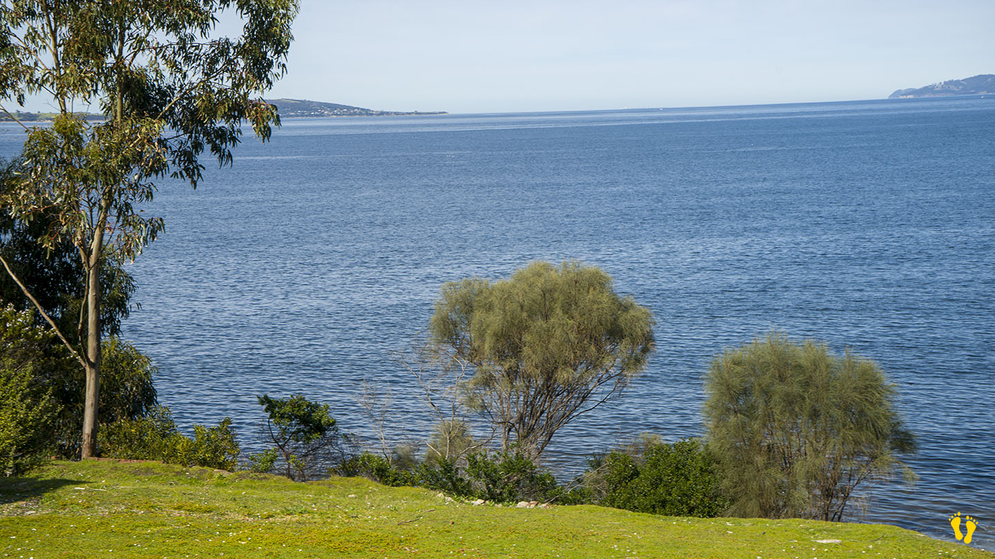
Hope Beach is situated in Southeast Tasmania off South Arm Road, extending from Goats Bluff to Cape Direction, also known as Roaring Beach. It is shown in Google Maps incorrectly positioned on the wrong side of the neck.
The east end below the bluff has a surf break known as Wedge (accessible from Goats Bluff). The west end has a surf beach known as RSL’s.
The main beach is accessible from the middle with 2 access locations each with a 100m walk. The west end is accessed from South Arm via Roaring Beach Road and a 300m walk (add 200m to RSL’s). The beach is named after a ship named, the ‘Hope’ which sank in 1827.
With good Views of Iron Pot Lighthouse, this is a secluded pristine beach with undulating sand dunes and a beach that often has surf.


