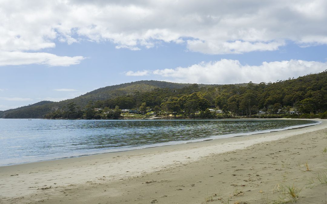
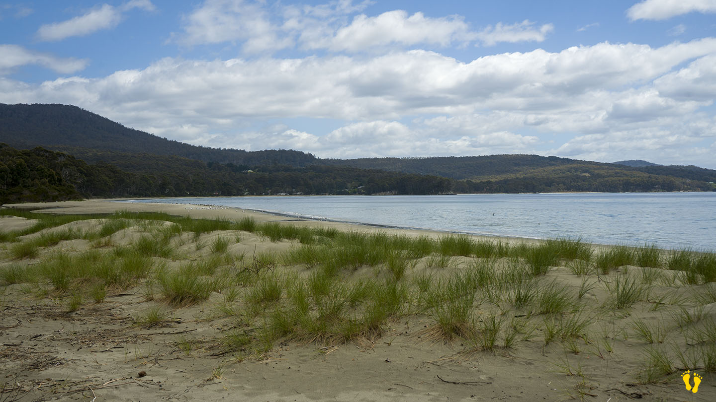
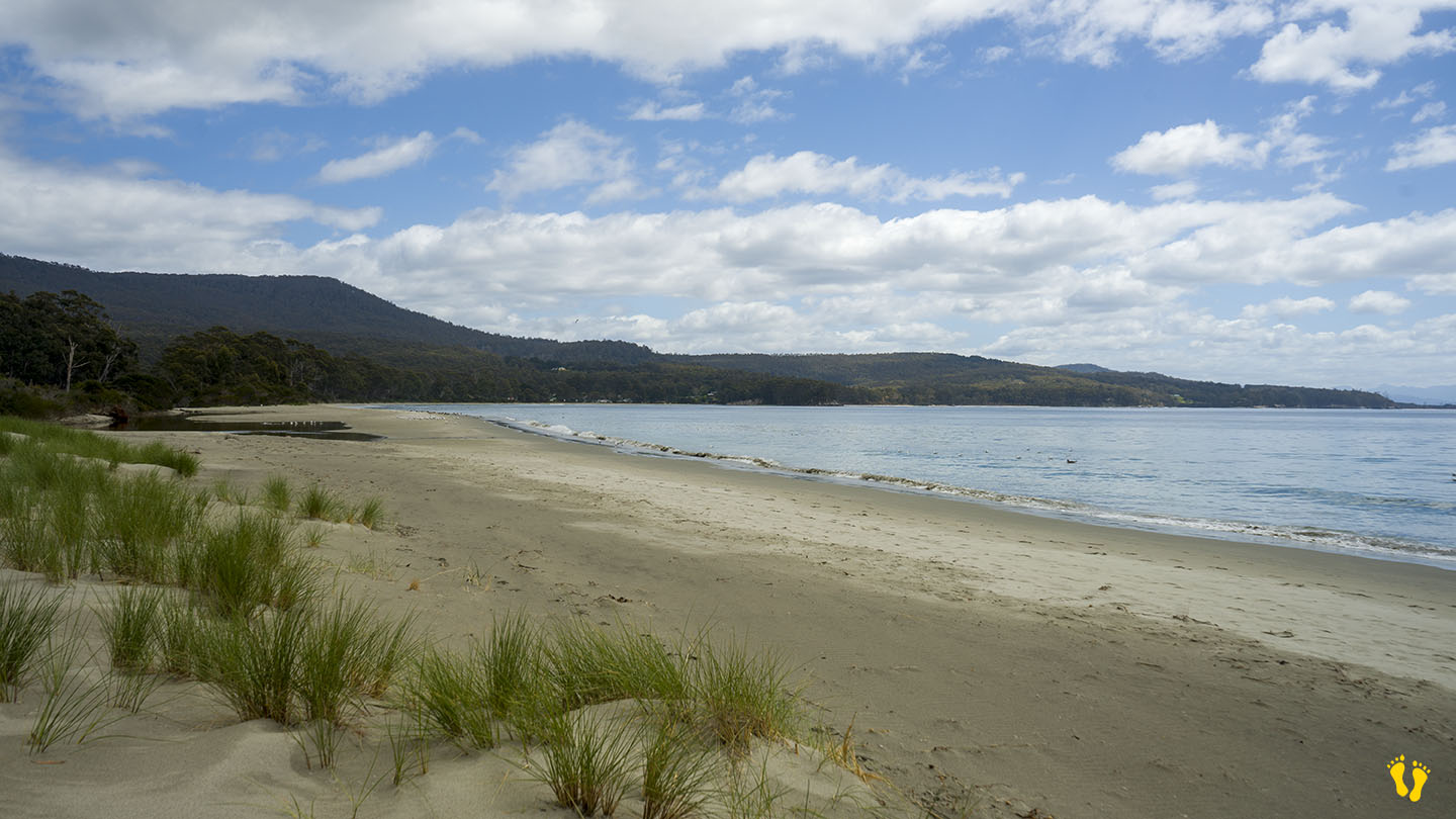
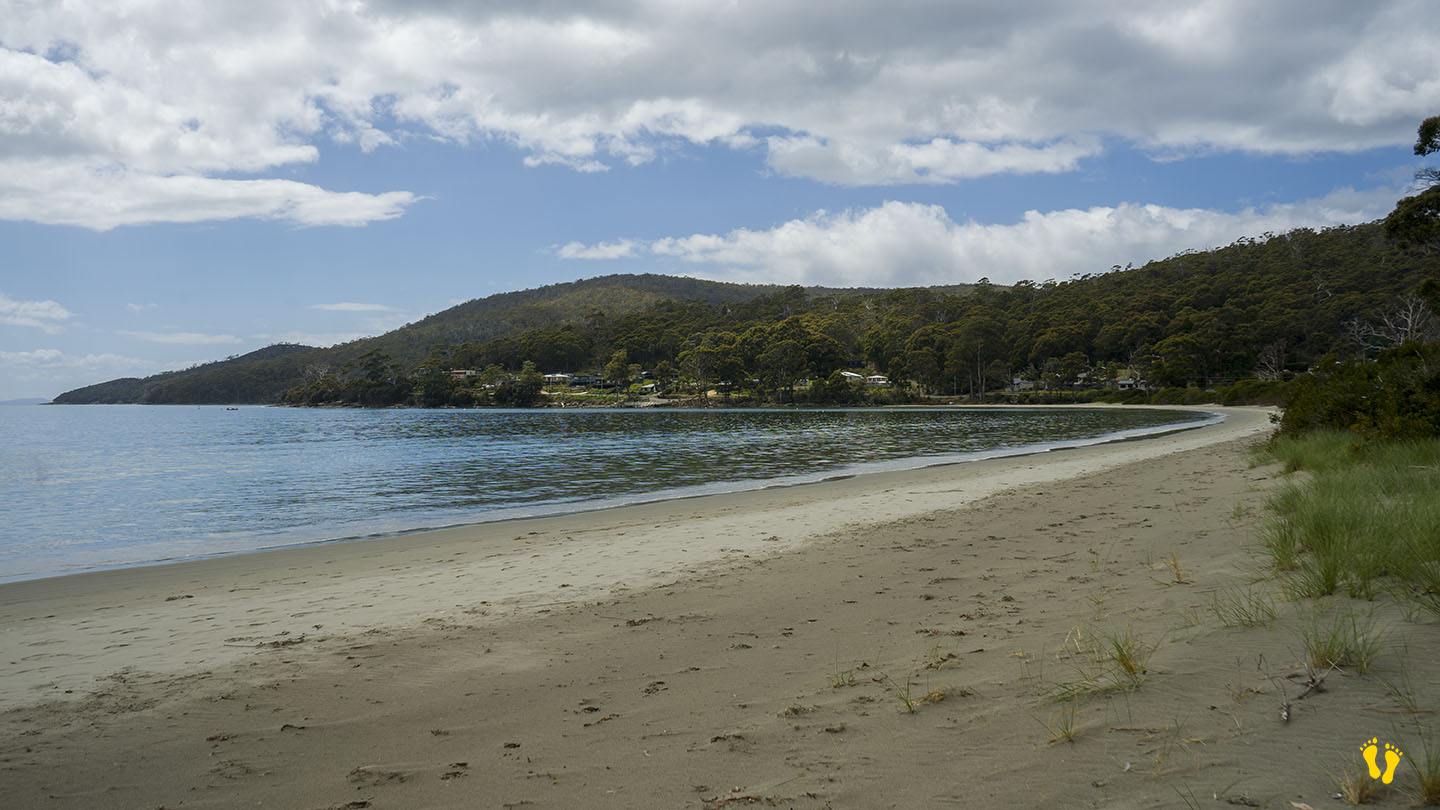
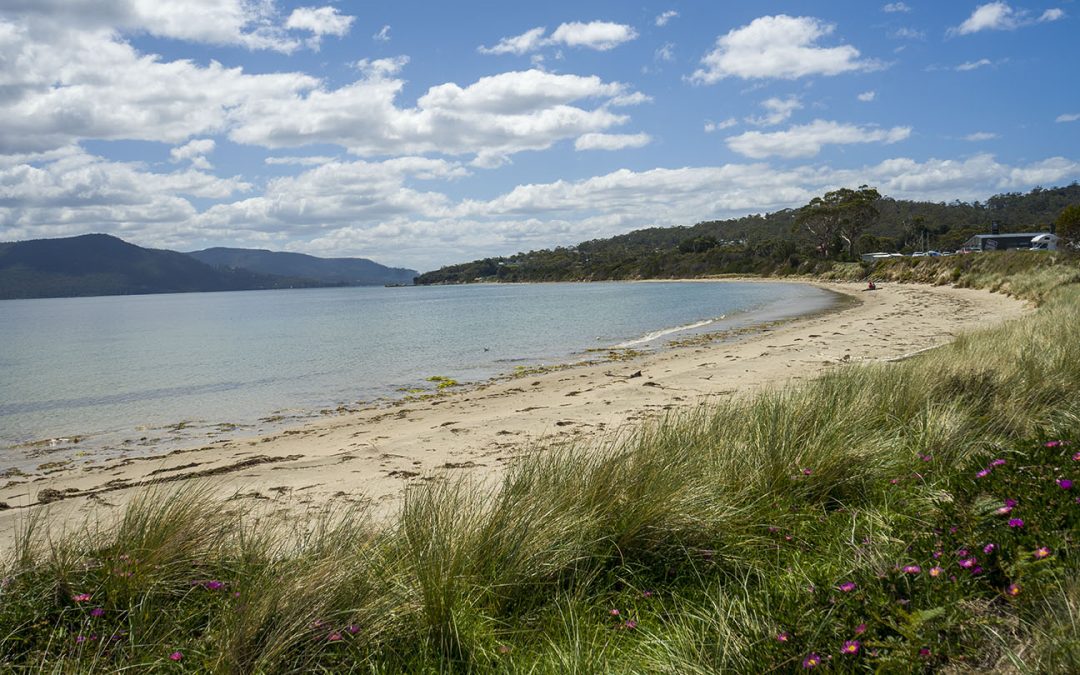
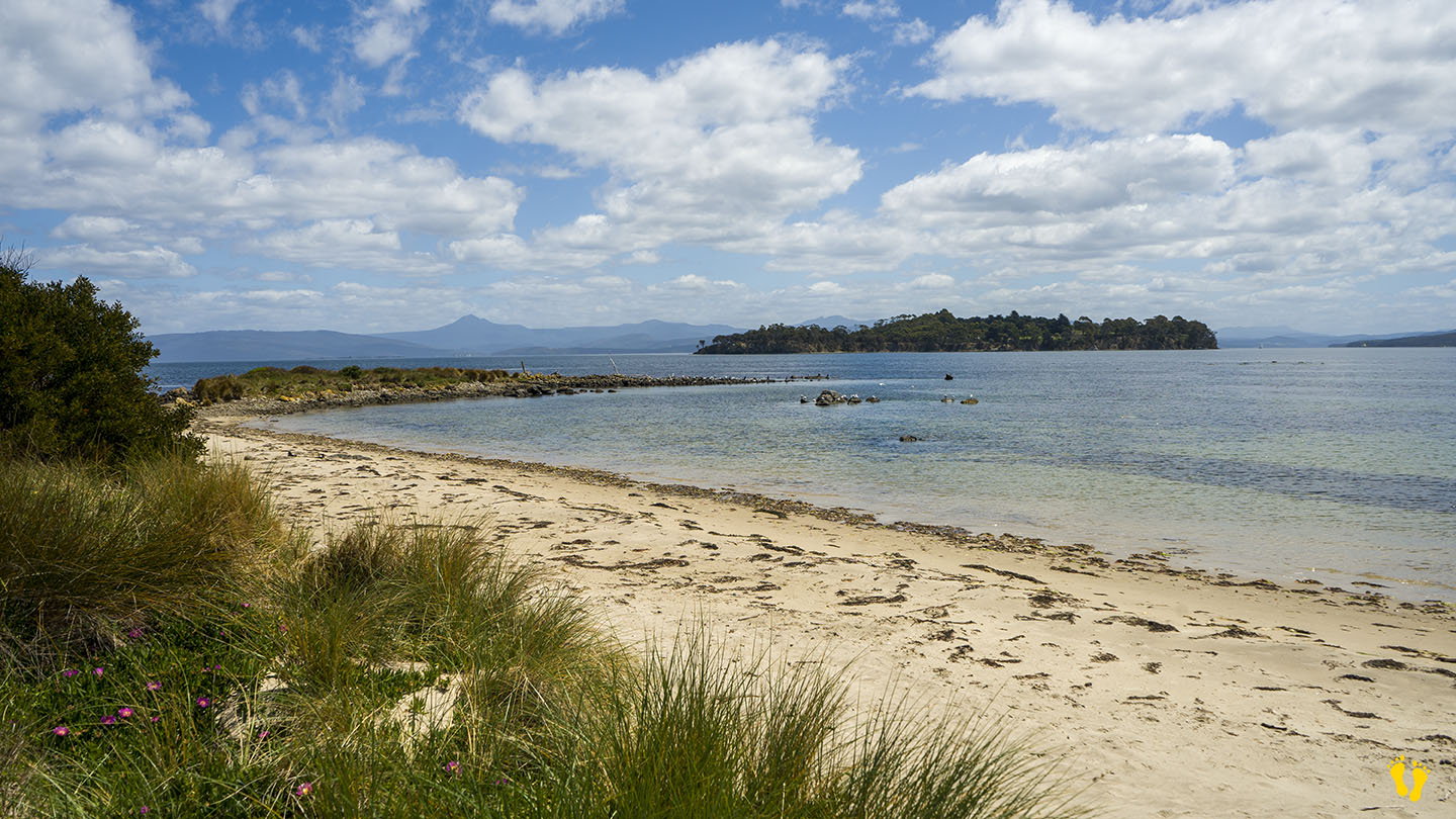
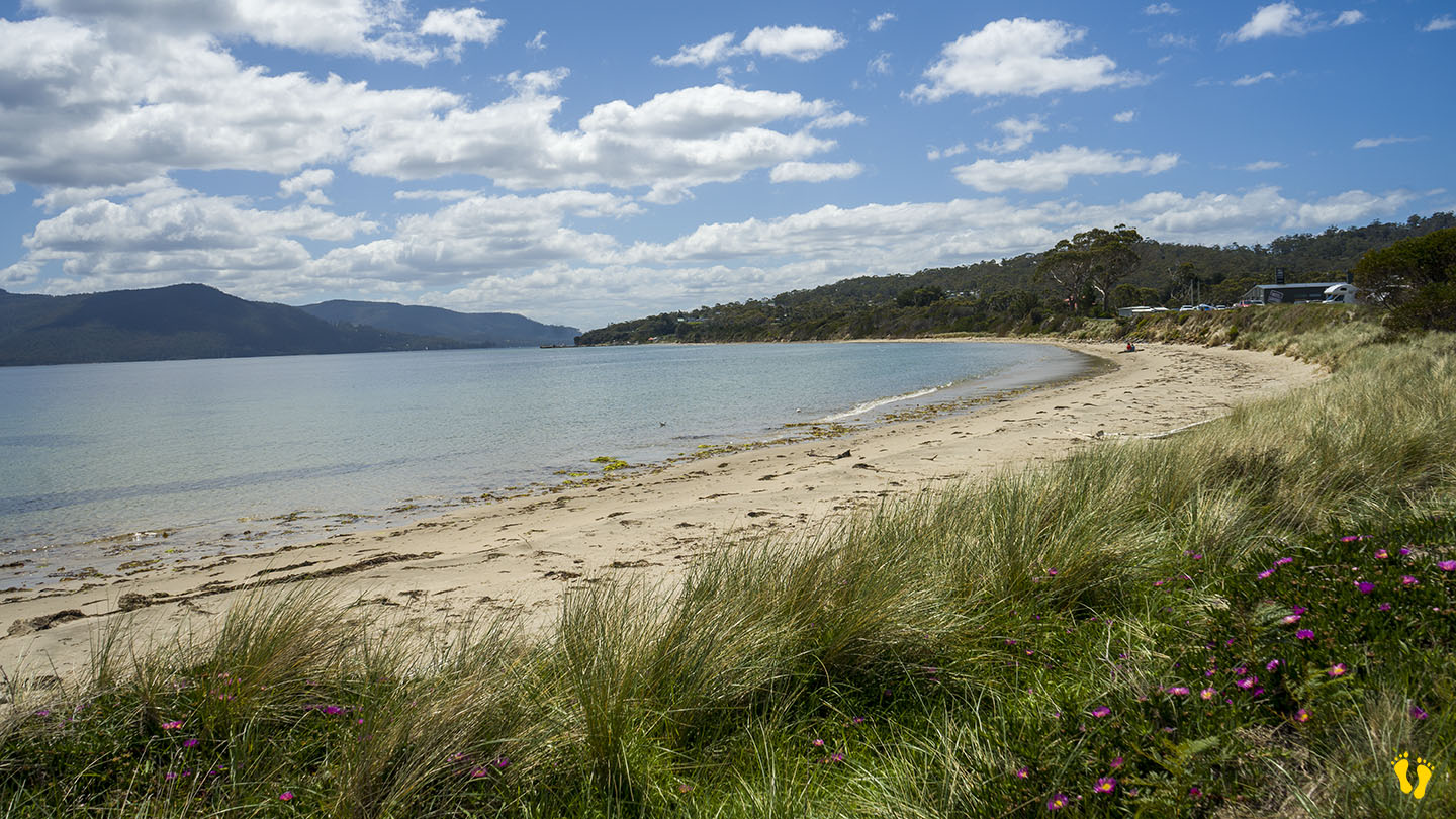
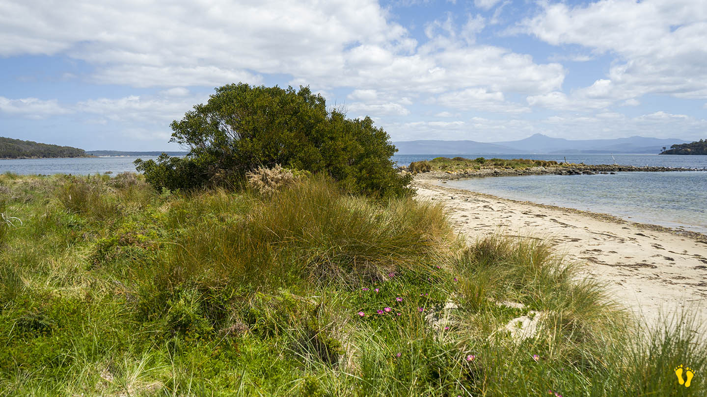
Bruny Island | Hazard Rating: 2-3/10 | Parking: Good + close | Faces: North East into Adventure Bay | Length: 3 km
Original People: Nuenonne | Original Name: lunawannalonna (Bruny Island).
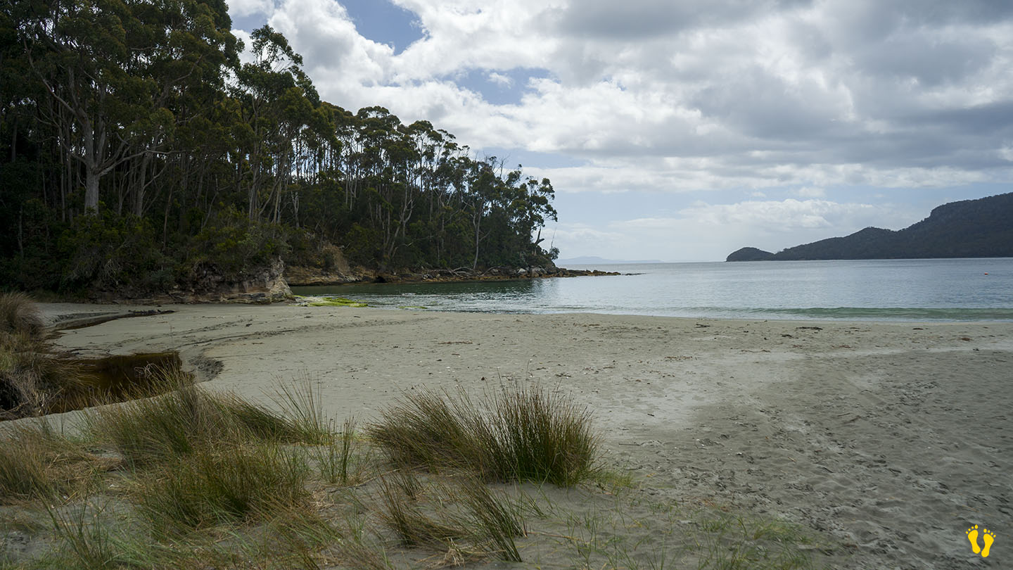
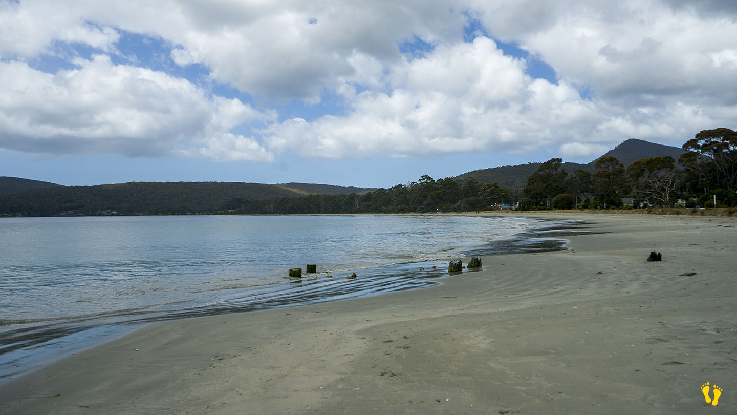
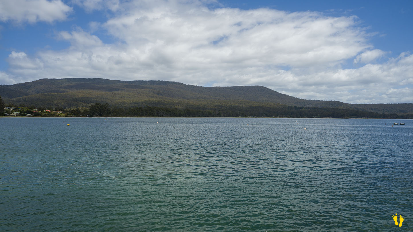
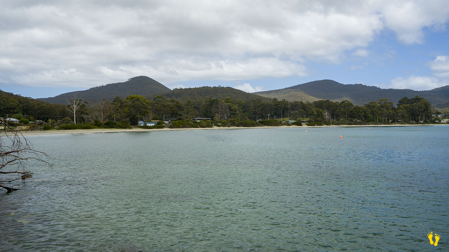
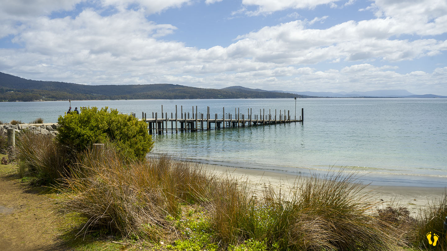
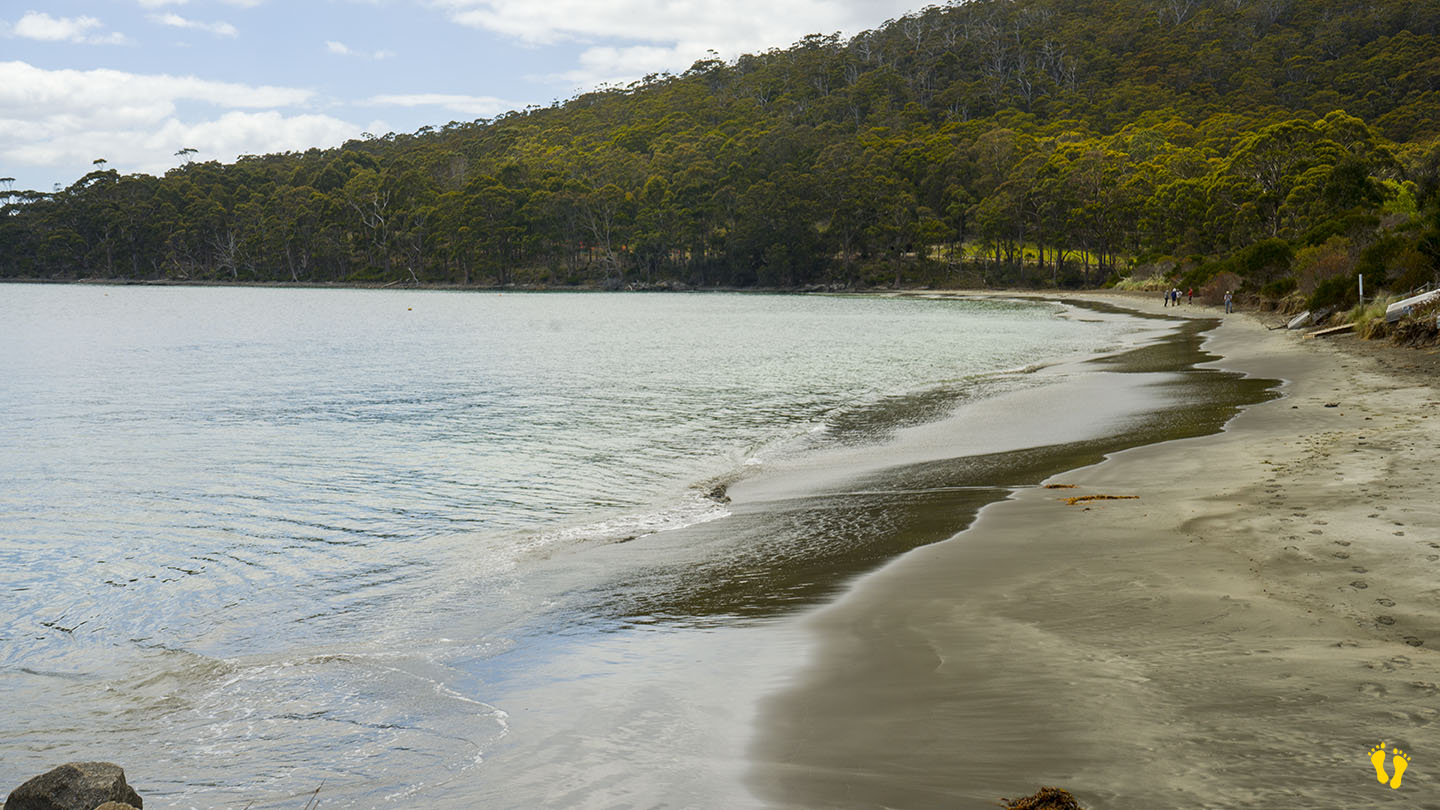
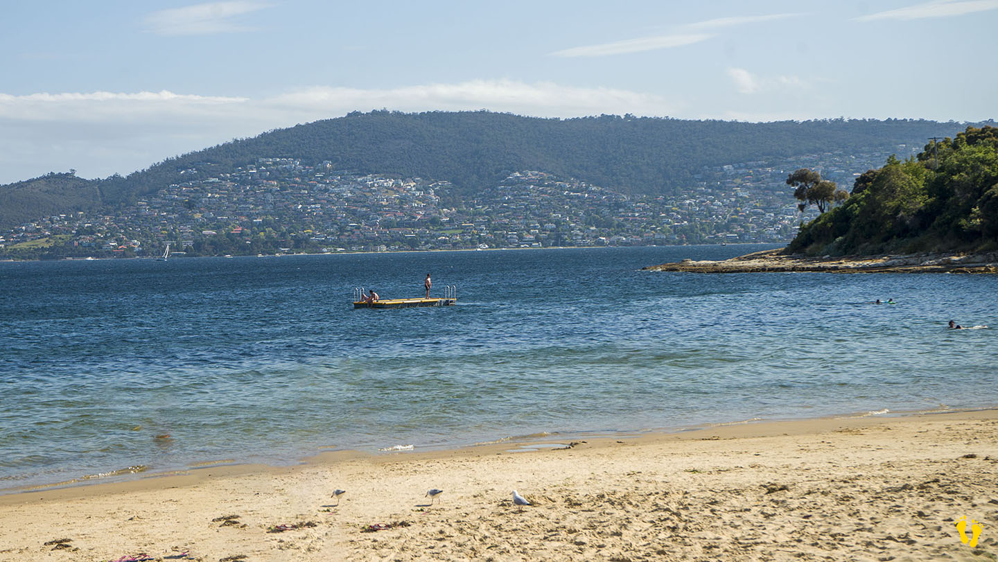
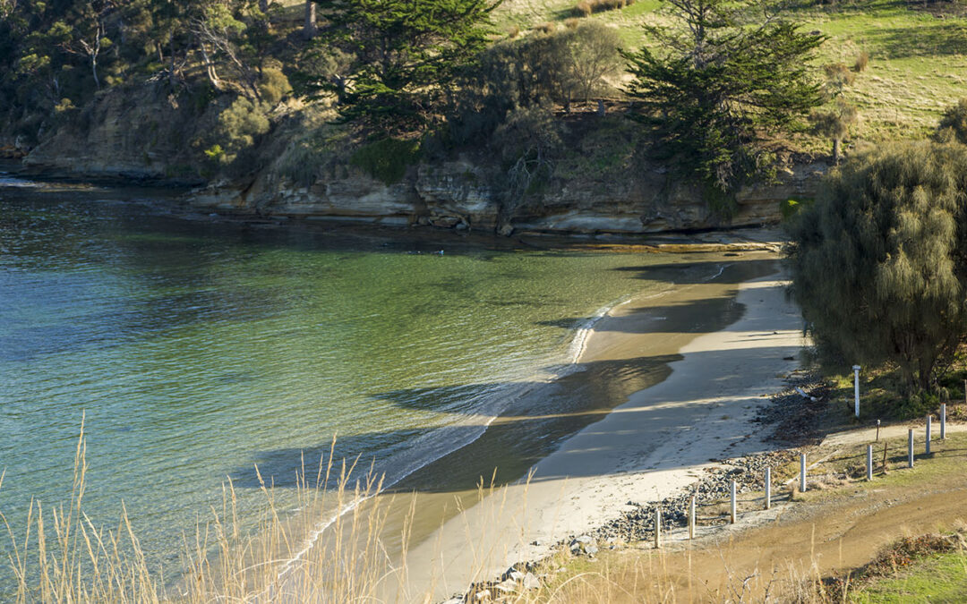
Adventure Bay Beach on the east coast of Bruny Island is an incredible beach that has won many top awards. You can swim, paddle, walk and fish at a beach with spectacular views and many access points along its length (with parking).
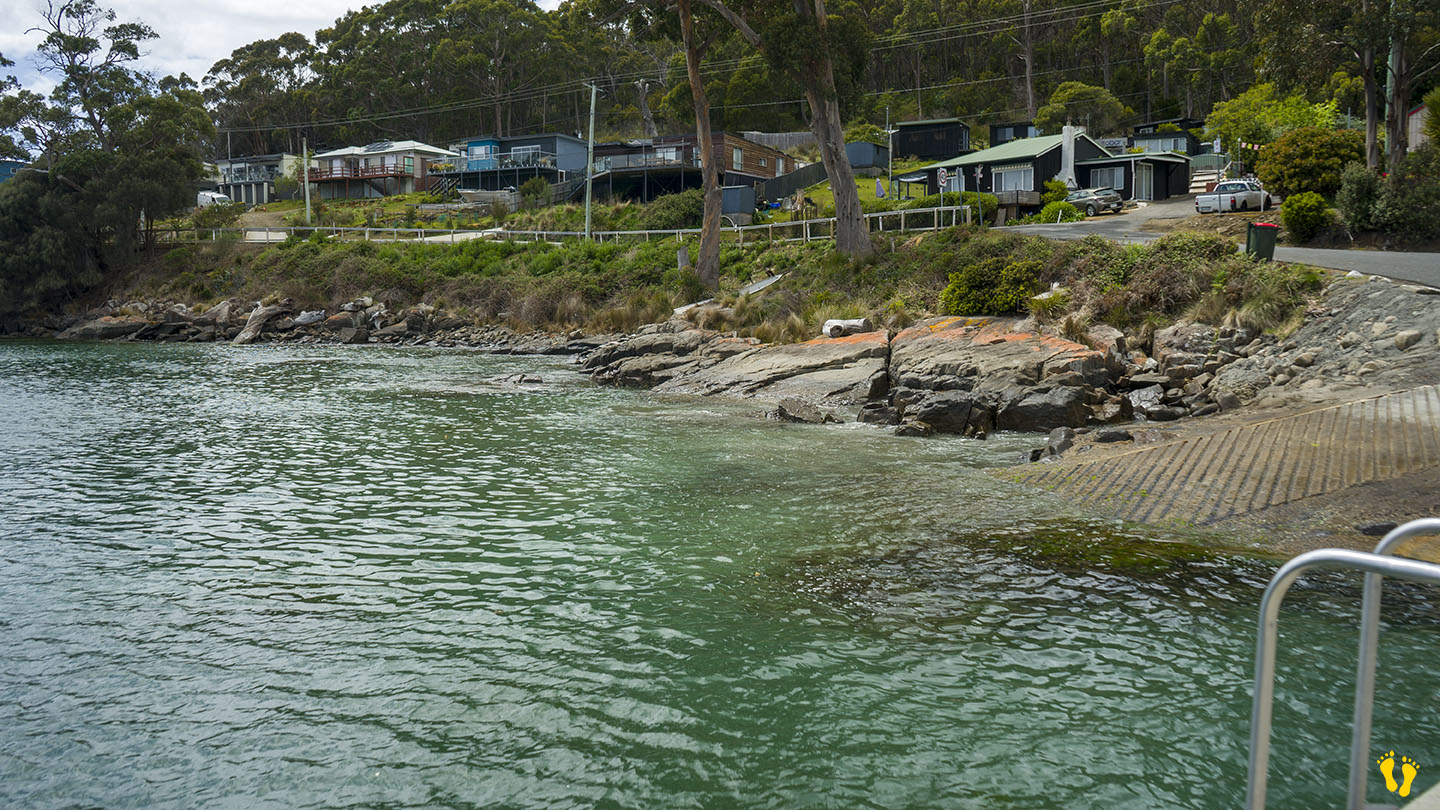
At the north end is ‘Quiet Corner’, a popular part of the beach with its own small protected beach hidden away and often used by locals.
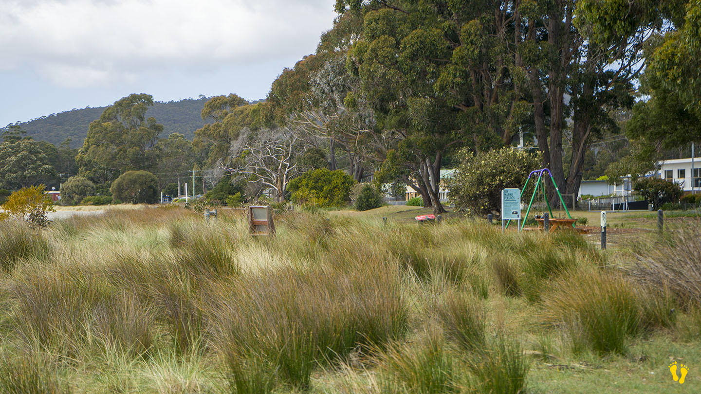
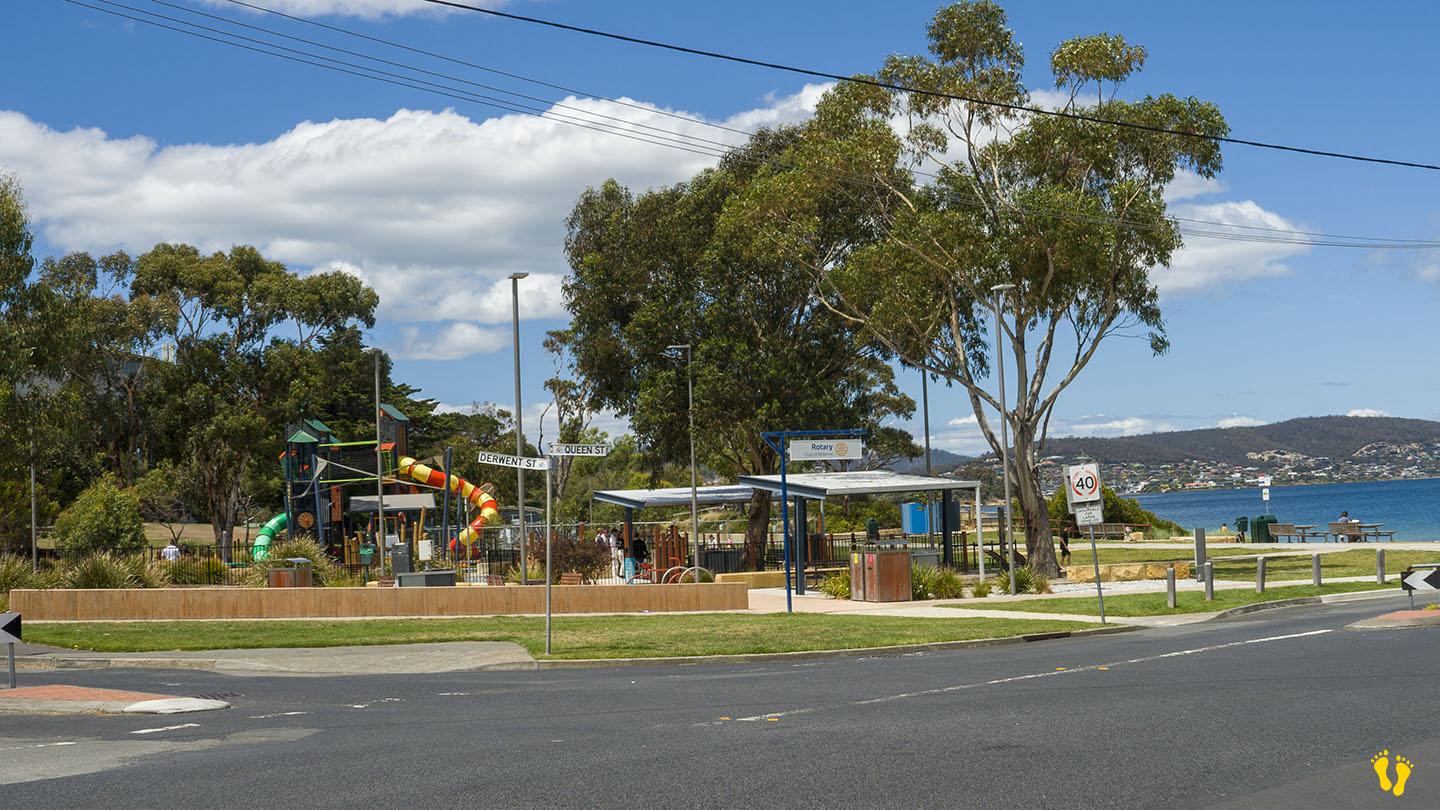
A shop, eating places, toilets, and a BBQ are situated mid-beach.
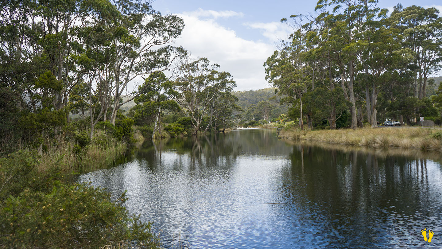
Travelling along Adventure Bay Road is the Captain Cook Holiday Park that has cabins, caravans & camping. Further along is Captain Cook Creek, a freshwater creek that feeds into the beach and is good for swimming and fishing. Don’t forget the Raspberry Farm and the Bligh Museum.
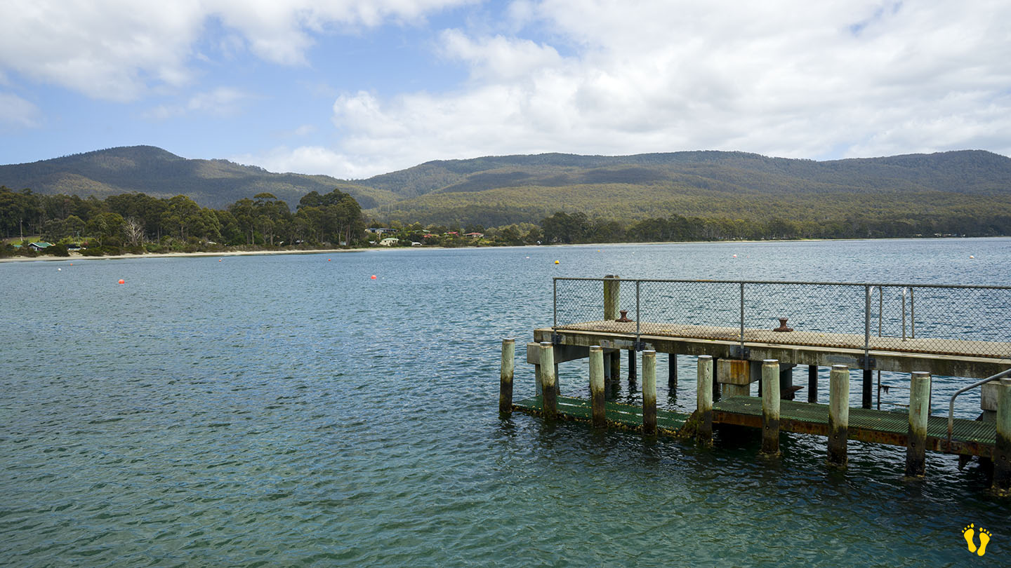
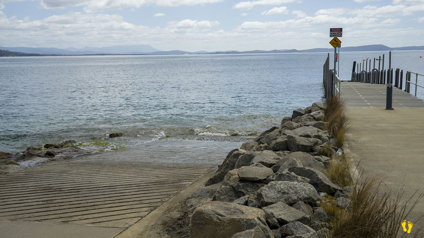
A jetty at the south-east end is popular for fishing and boat access.
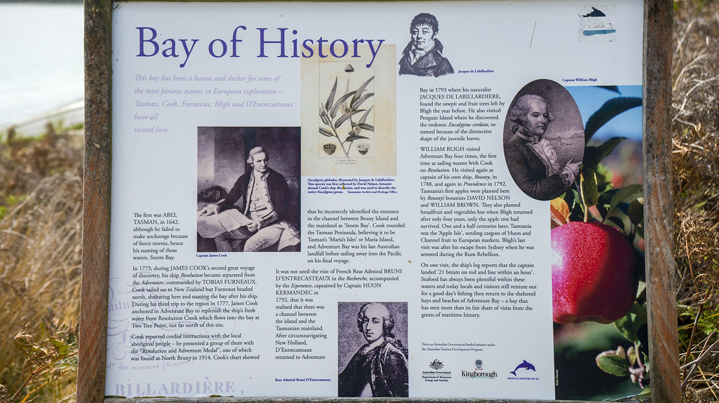
Originally named by European explorer Abel Tasman in 1642 as Storm Bay, later renamed by Captain Tobias Furneaux in March 1773 in honour of his ship HMS Adventure. Cook later anchored there in 1777. Named as the 5th best beach in Australia in 2023 by Tourism Australia.
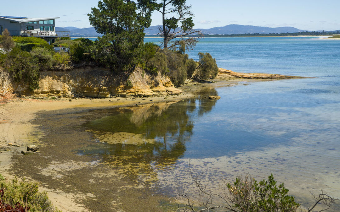
Bruny Island | Hazard Rating: 2/10 | Parking: Good + close | Faces: West | Length: 1.1 km
Original People: Nuenonne | Original Name: lunawannalonna (Bruny Island)
Information and review
Alonnah Beach is situated close to Bruny Island Main Road. This is a beach you could swim and spend time at – but there are better choices not far away – e.g. Adventure Bay. A small car park at Reef Track on the south end is the best place for access. The name comes from part of the Aboriginal name for Bruny Island – lunawannalonna.
Close to shops, Hotel Bruny and other facilities. Views of Satellite Island.
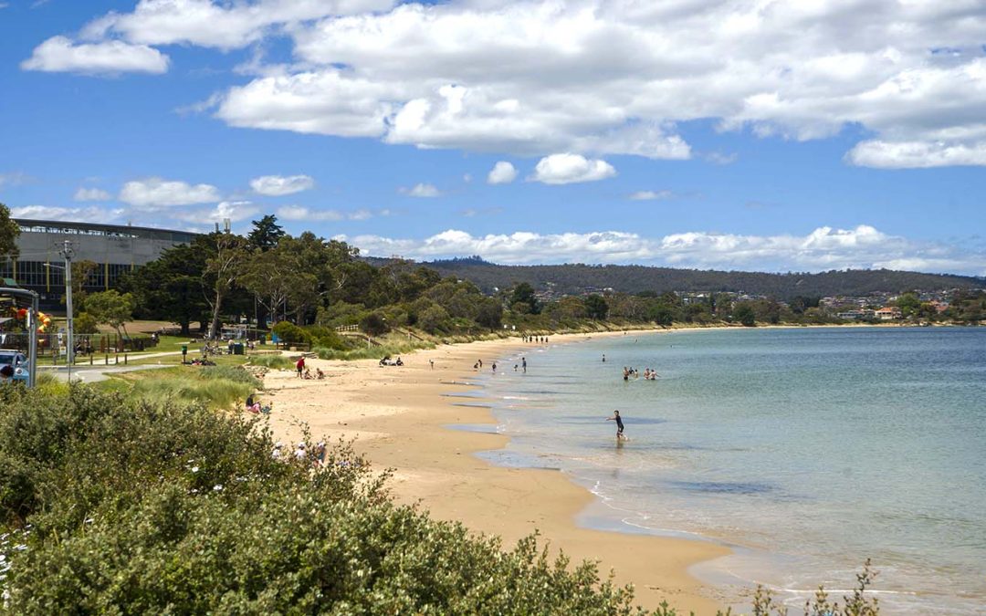
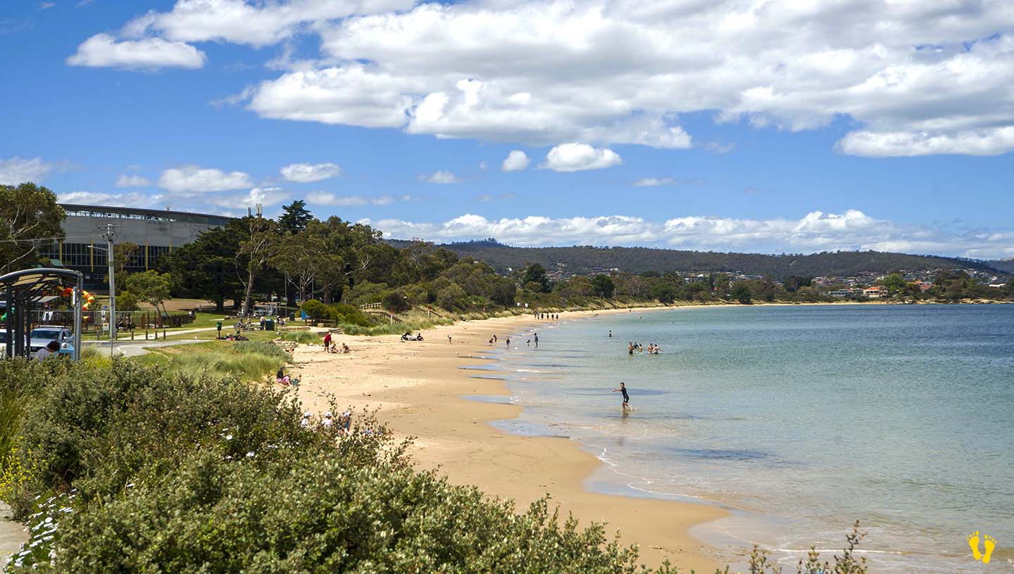
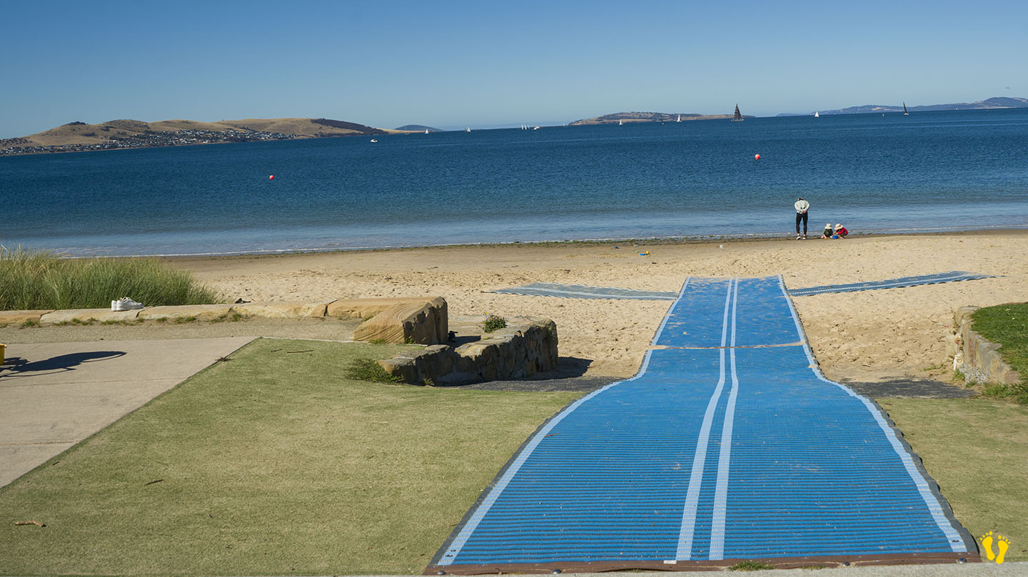
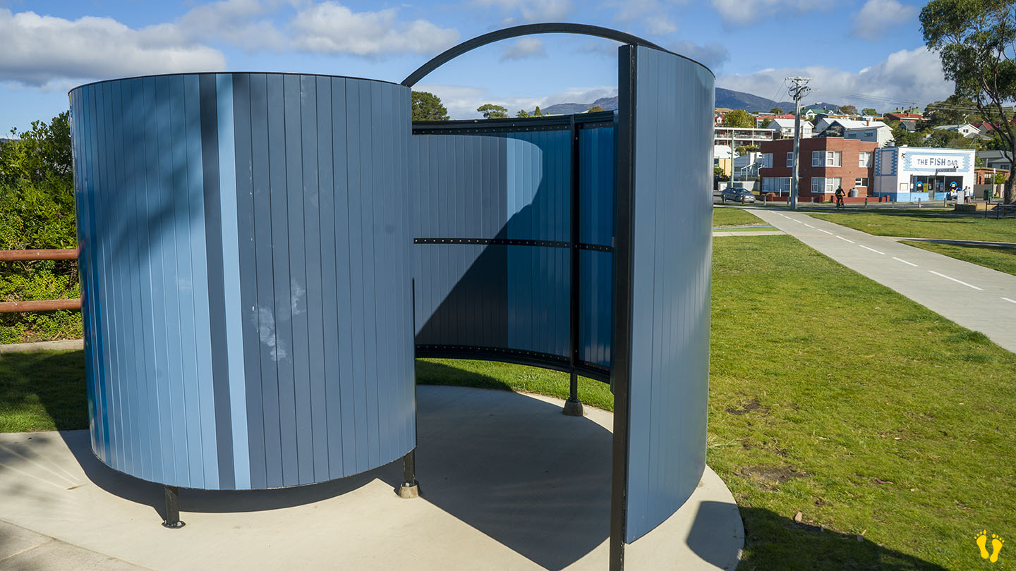
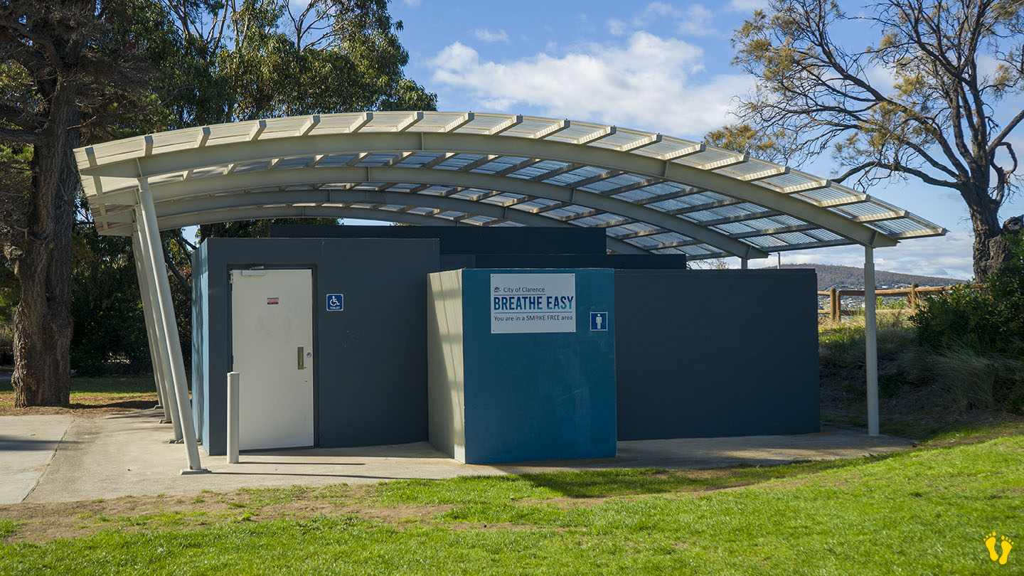
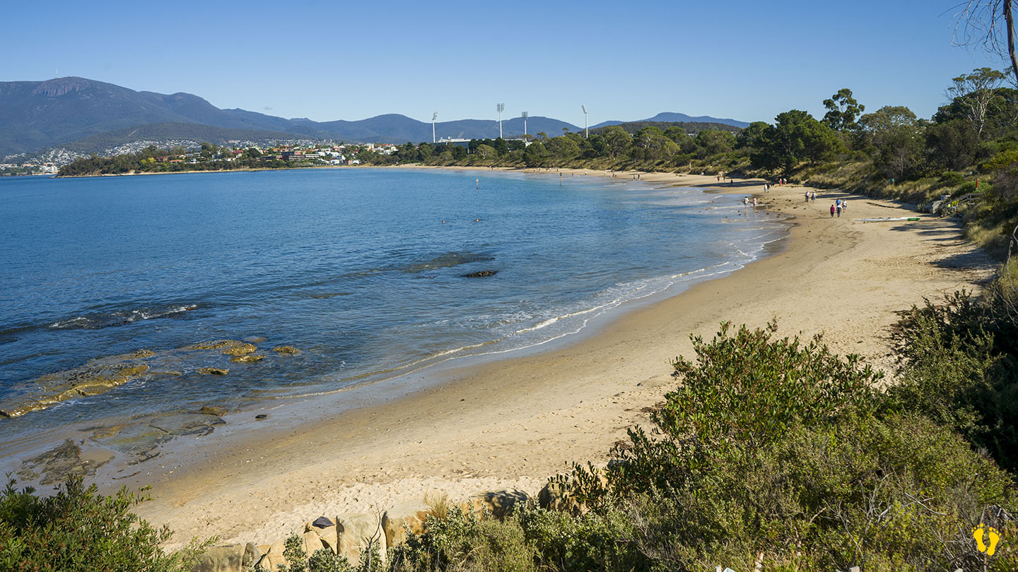
A sheltered beach ideal for families with several entry points and parking along its shore. Part of the foreshore trail. A wonderful walk is along Bellerive Beach, Second Bluff, and Howrah Beach. Toilets are on the west end, about 150m from the playground, none in the middle or the east end.
The west end (near Bellerive Oval) has an excellent playground, park, BBQ facilities, and outdoor gym. A well-thought-out beach and park area that includes many things for a diverse group of users, including 3 BBQ areas. Wide flat paths good for wheelchair access.
It was originally named Kangaroo Point in 1820 and changed to Bellerive in the 1830s. Bellerive is French for ‘beautiful shore or river bank’. Occupied for 35,000 years by the semi-nomadic Mouheneener people, a sub-group of the Nuennone.
A highly recommended fish & chip shop – The Fish Bar – is also on the foreshore.
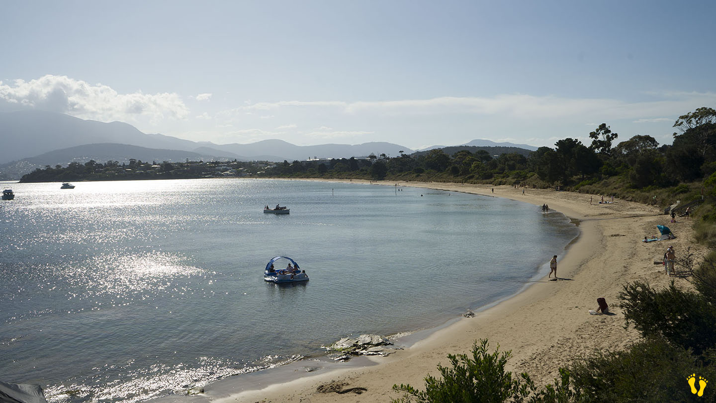
A tough choice between the north end of Howrah Beach on the Eastern Shore and Okines Beach near Dodges Ferry. Both have wonderful shores to explore and view all sorts of sea life and plants. Both are generally safe with easy access.
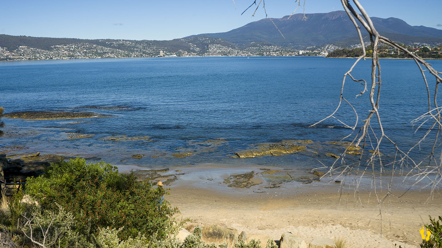
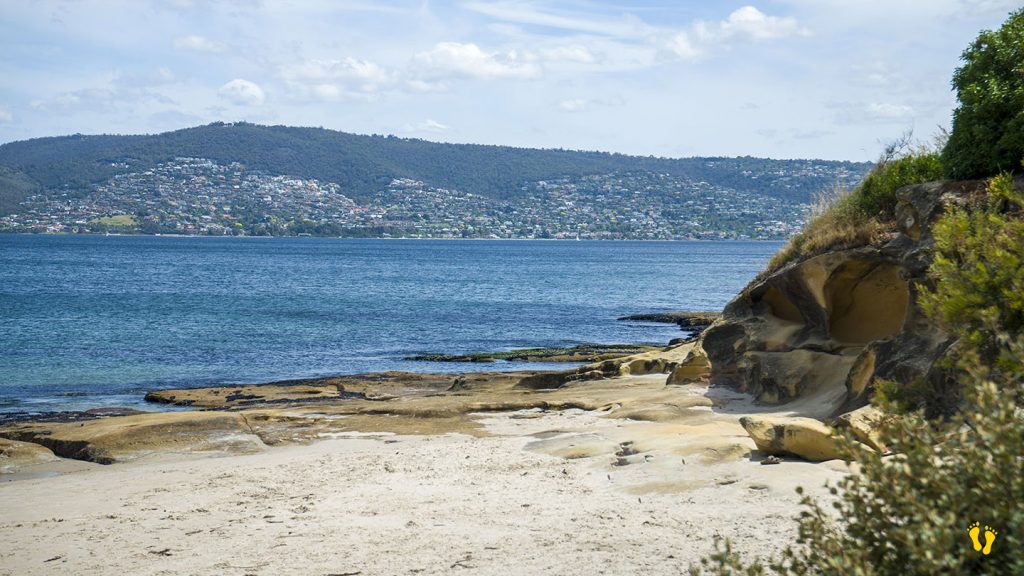
Tinderbox is a small beach south of Hobart, ideal for learning to snorkel. There are lots of underwater features to explore, and there are good amenities and parking. I also recommend the east end of Howrah Beach around the rocks.