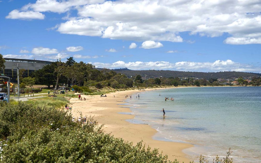
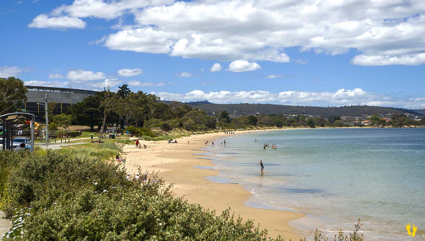
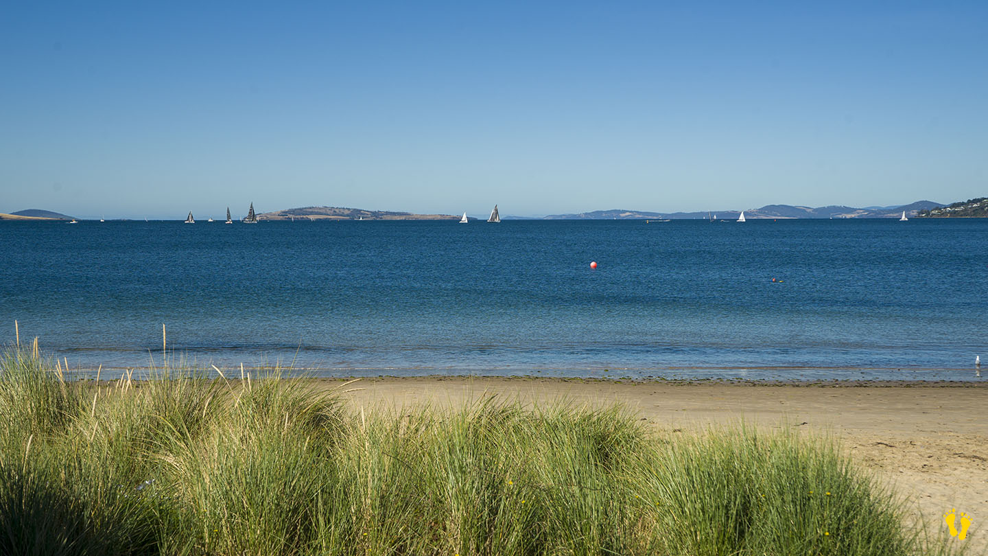
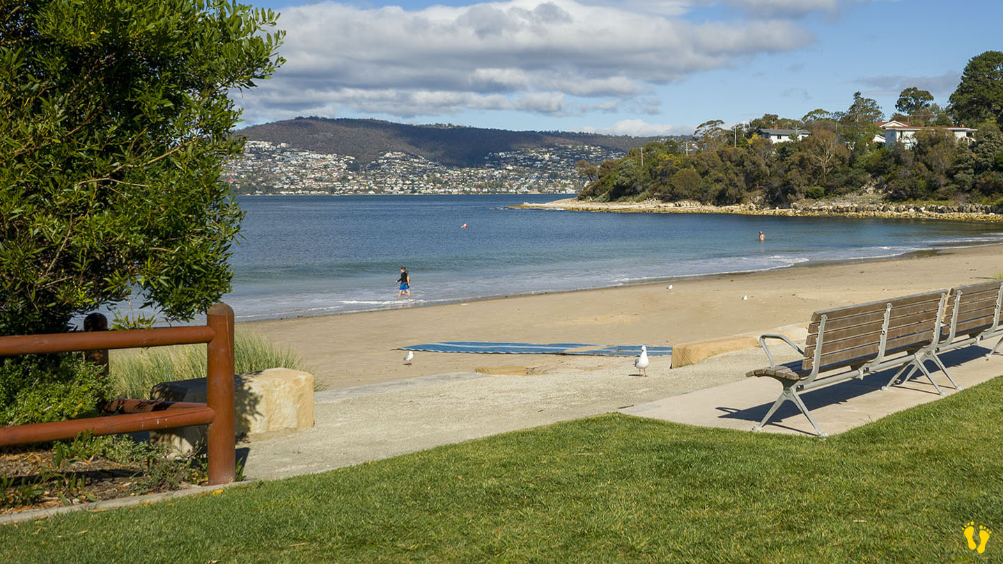
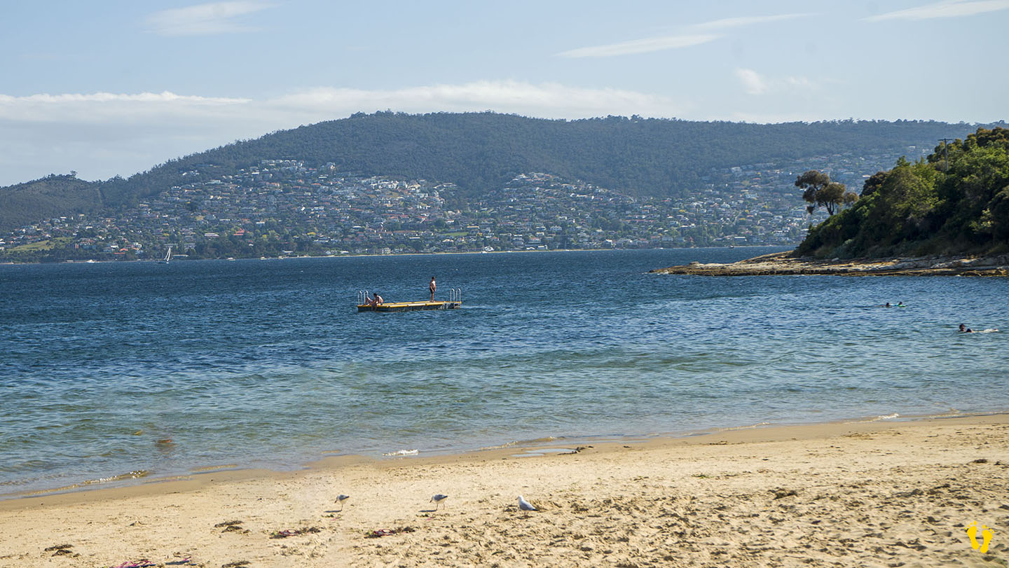
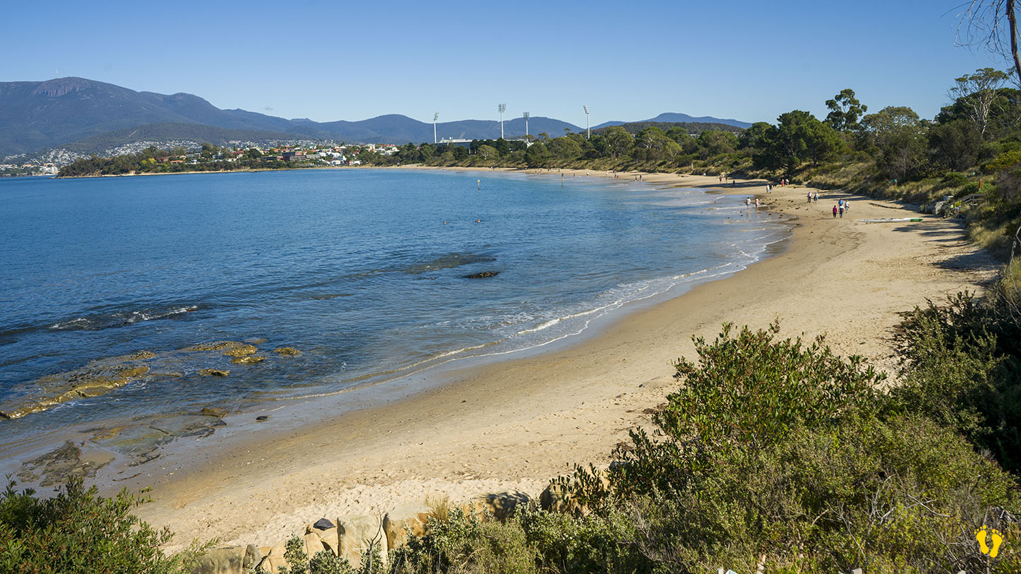
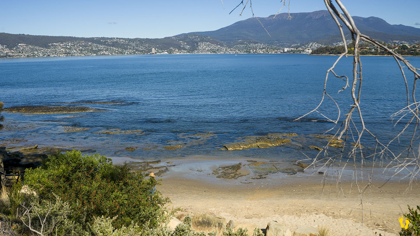
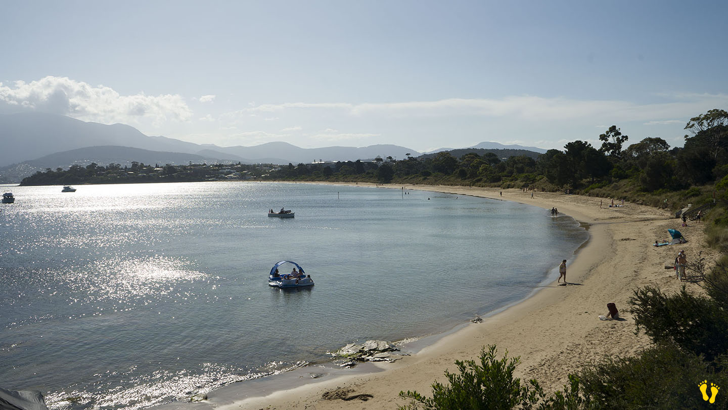
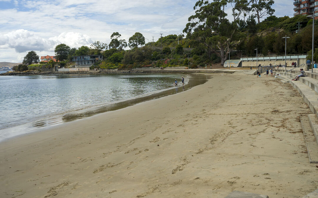
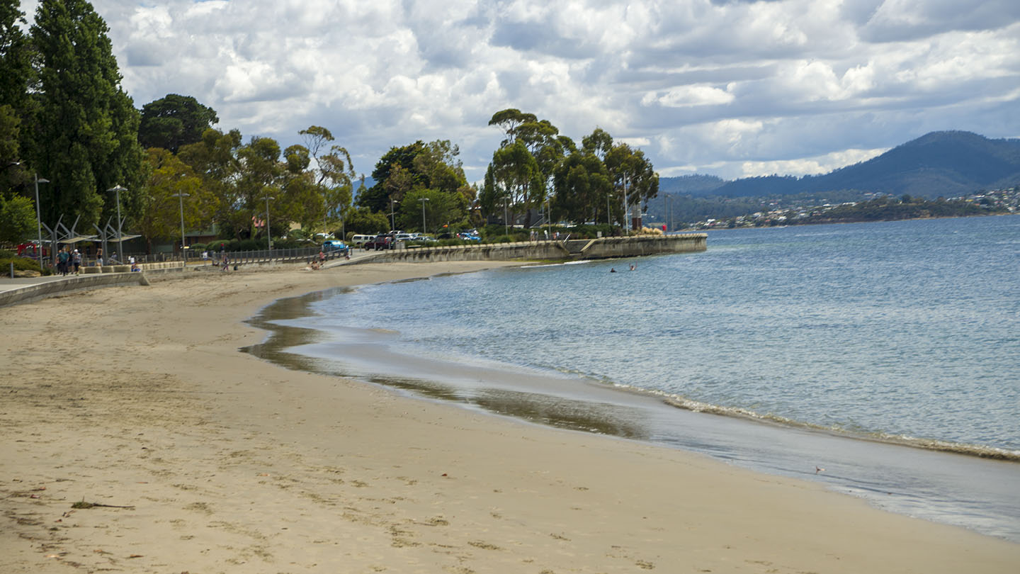
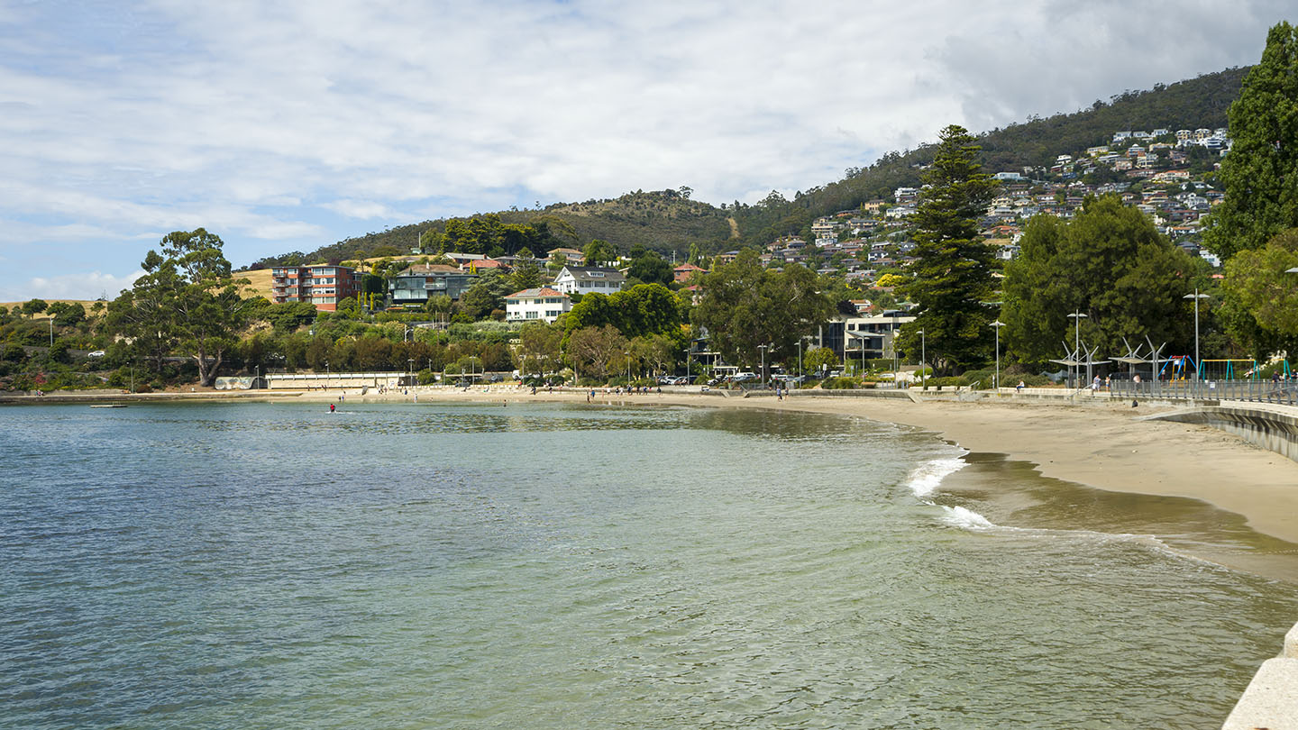
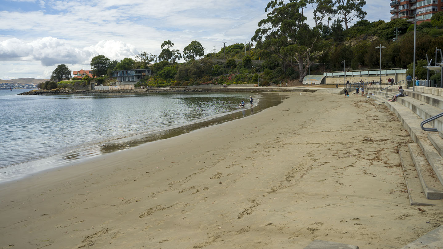
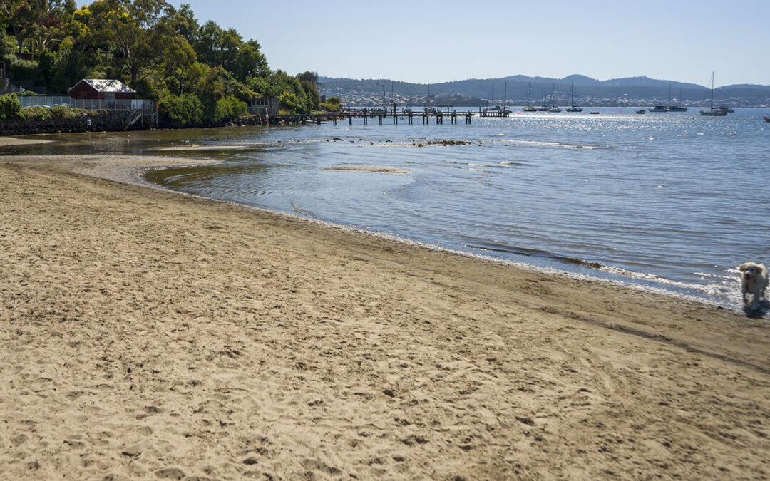
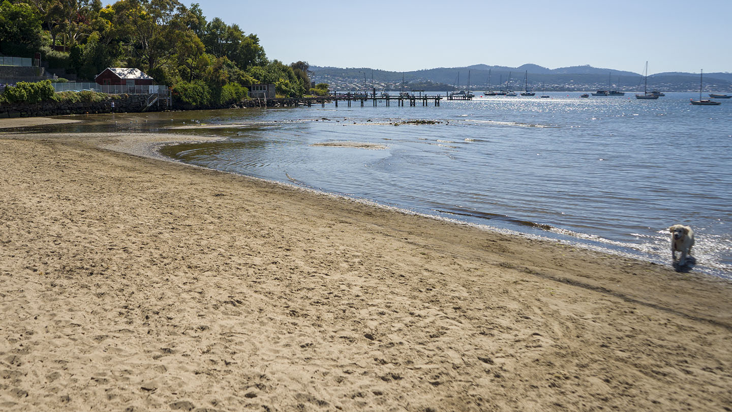
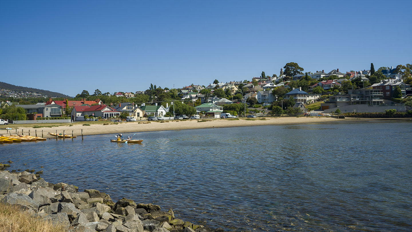
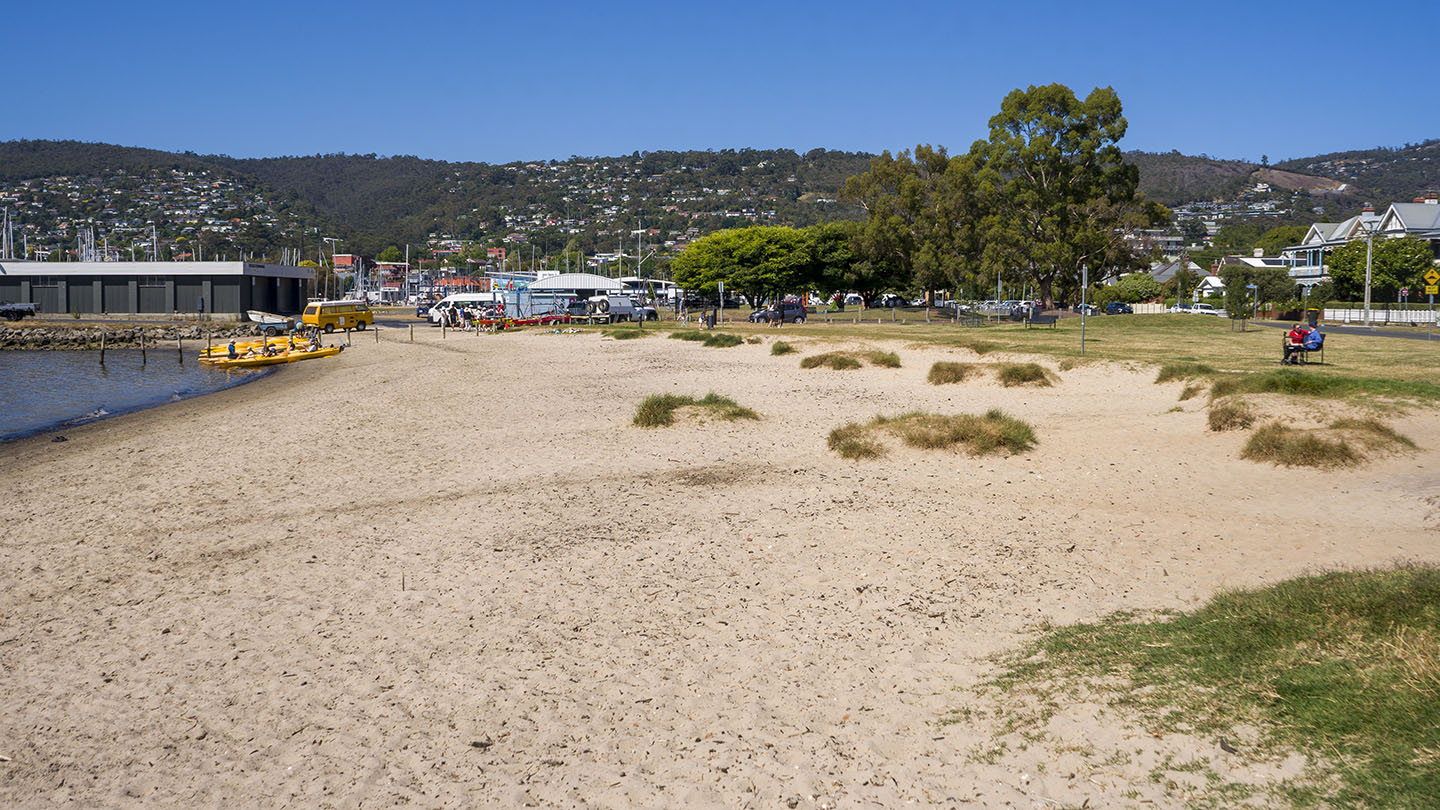
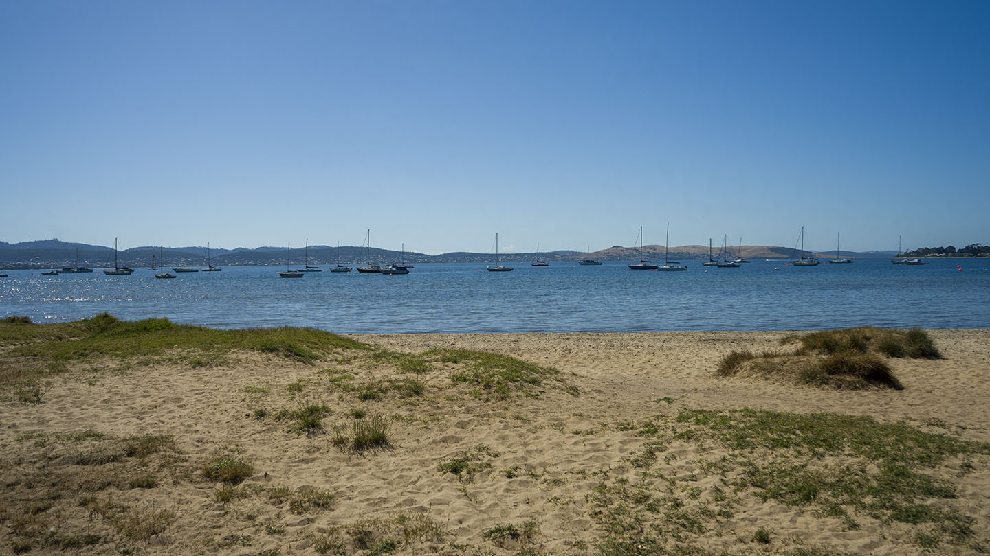
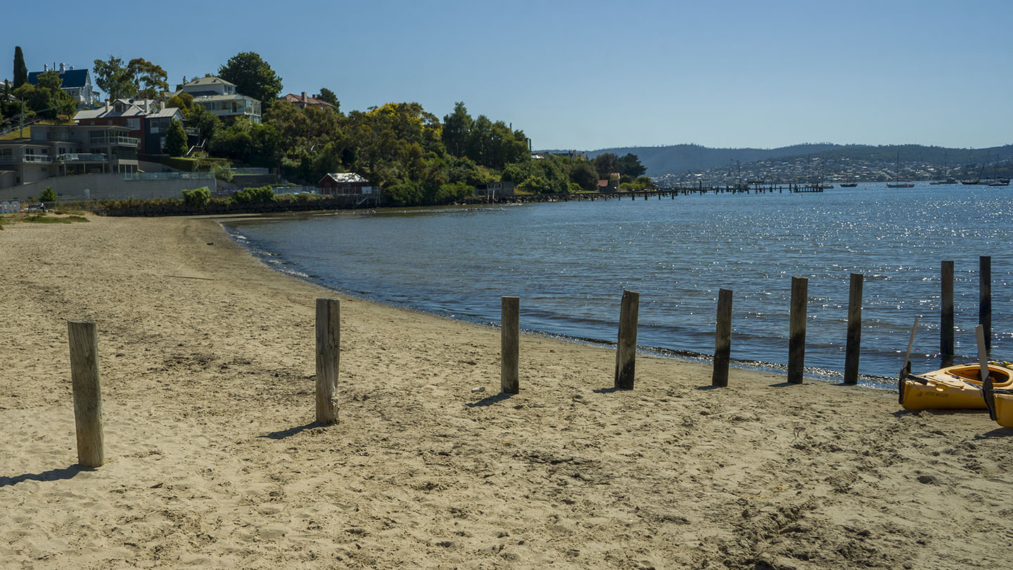
A sheltered beach ideal for families with several entry points and parking along its shore. Part of the Clarence Foreshore Trail. A great walk is along Bellerive Beach, along the Second Bluff cliffs, and then Howrah Beach.
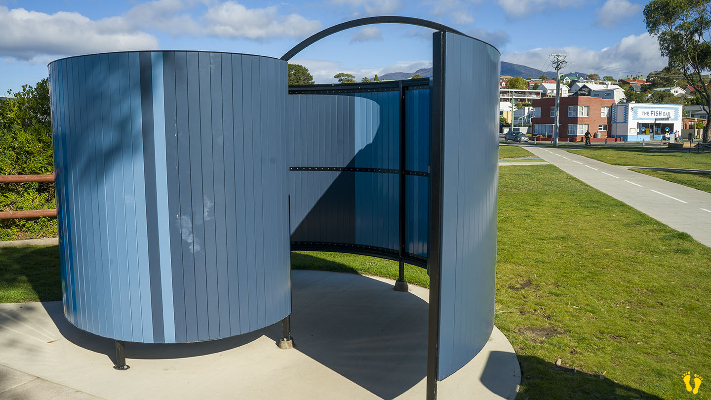
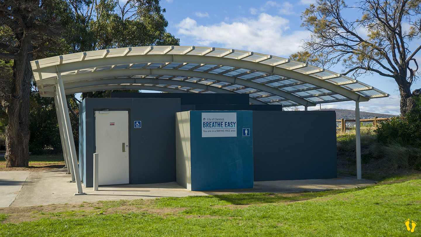
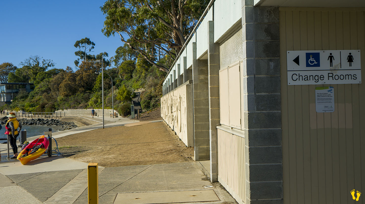
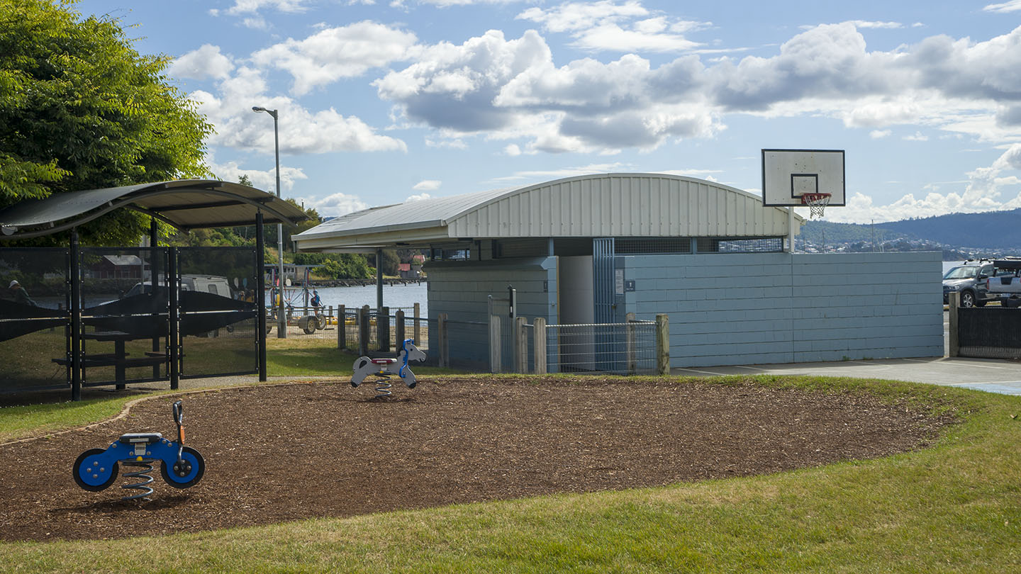
Toilets are on the west end, about 150m from the playground; there are none in the middle or the east end.
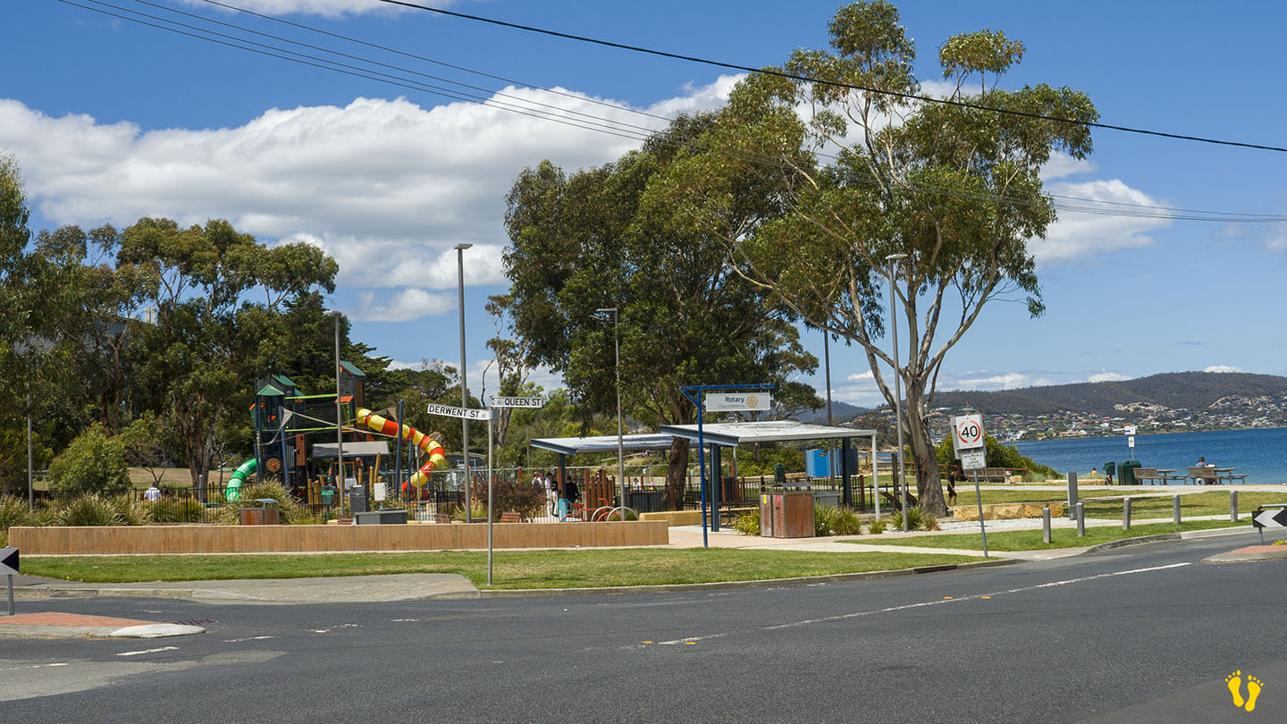
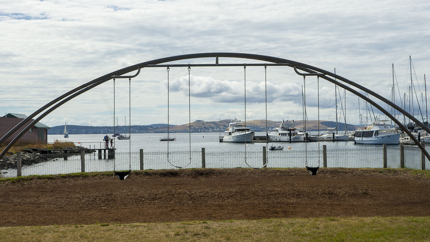
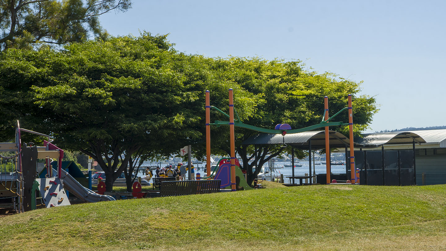
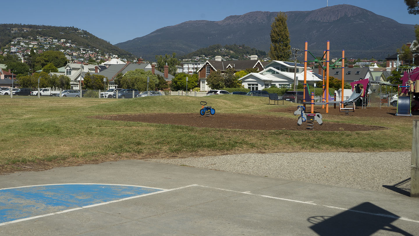
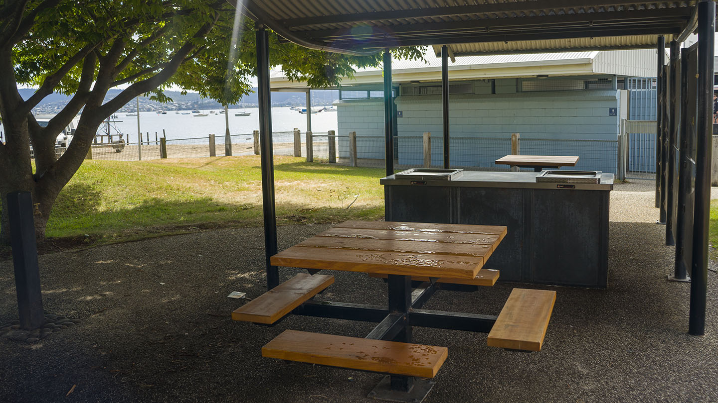
The west end (near Bellerive Oval) has an excellent playground, park, BBQ facilities, and outdoor gym. A well-thought-out beach and park area ideal for a diverse group of users including 3 BBQ areas.
Originally named Kangaroo Point in 1820 and changed to Bellerive in the 1830s. Bellerive is French for ‘beautiful shore or river bank’. Occupied for 35,000 years by the semi-nomadic Mouheneener people, a sub-group of the Nuennone.
This is a TasBeach review of Bellerive Beach – you can contact us at contact@tasbeach.com.au.
If this page was helpful, please give us a thumbs up.
Hazard Rating: 2/10 | Parking: Good + close | from Hobart: 5 km | Faces: West into the Derwent River and Little Sandy Bay | Length: 400 m
Original People: Originally named Kreewer and occupied for 35,000 years by the semi-nomadic Mouheneener people, a sub-group of the Nuennone.
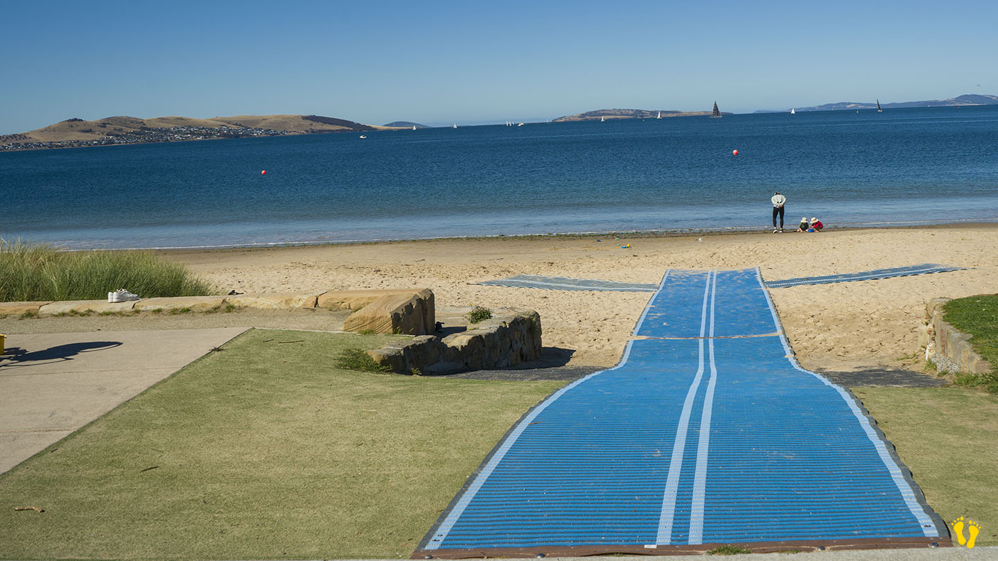
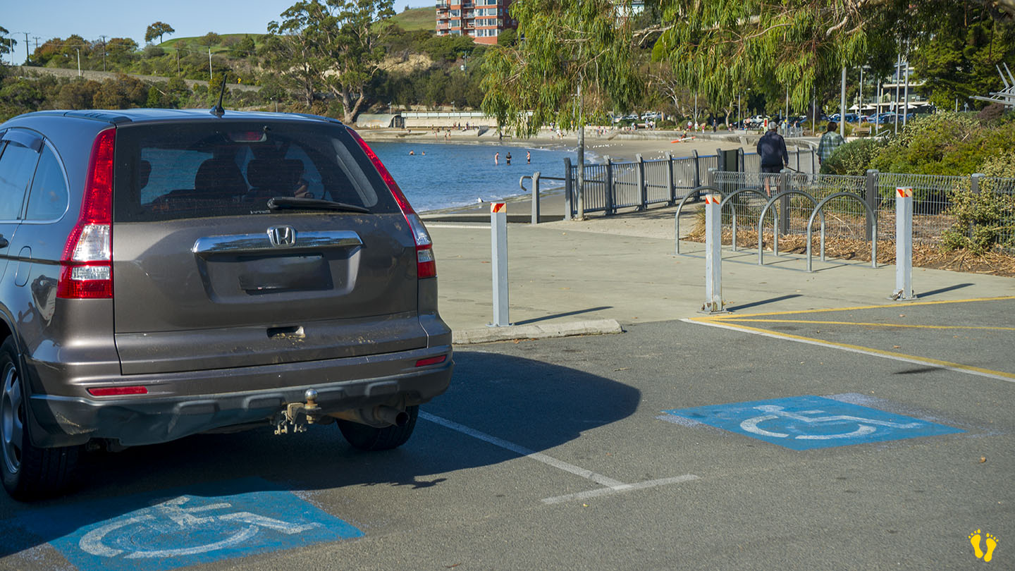
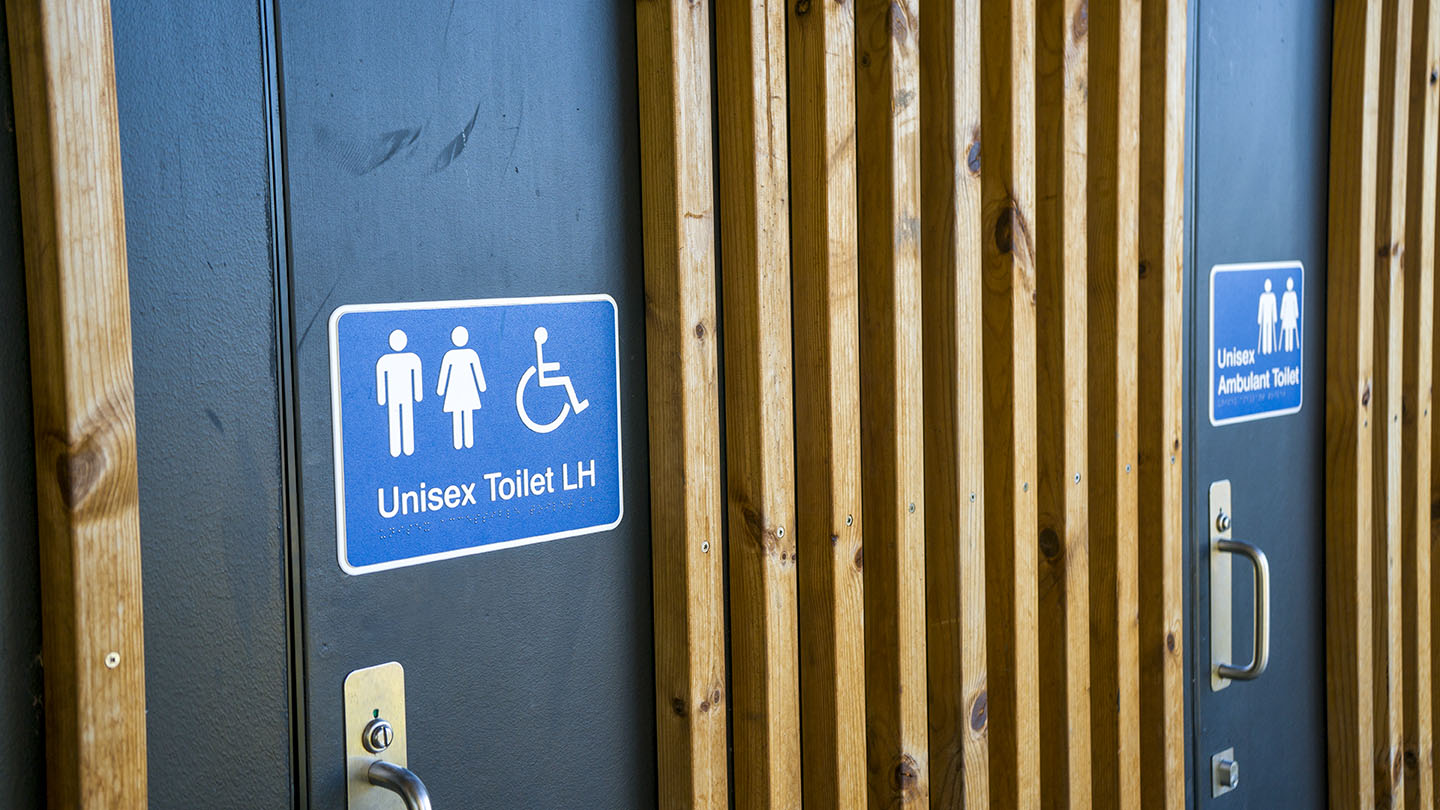
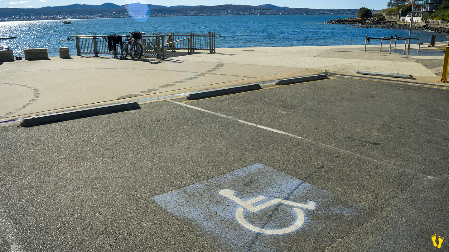
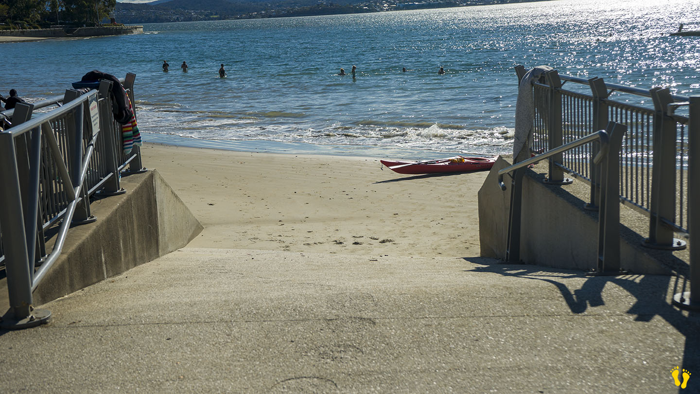
Wheel Chair Access: 2 ramps onto an often packed sand beach. Disabled toilets and parking on the north and south ends.
In Sandy Bay south of Hobart. Excellent amenities include a playground, BBQs, toilets and a large park area. It is a great family beach and park.
Accessible from 3 different main road turnoffs. The north end via Long Point Road provides access to the park and beach and is the best option for disabled access. The middle is accessed via Beach Road, near food outlets and a good general access point. The south end is good for kayak and board access.
Originally a single continuous beach, a basalt seawall was built to prevent coastal erosion in the 1970’s creating Nutgrove Beach to the north. So technically it’s now not a very long beach, but hey the name stuck.