by Mickey Jarvis | Sep 28, 2024 | Greater Hobart
Hazard Rating: 3/10 | Parking: Not good | from Hobart: 10 km | Faces: S\SE into the Derwent | Length: 250m
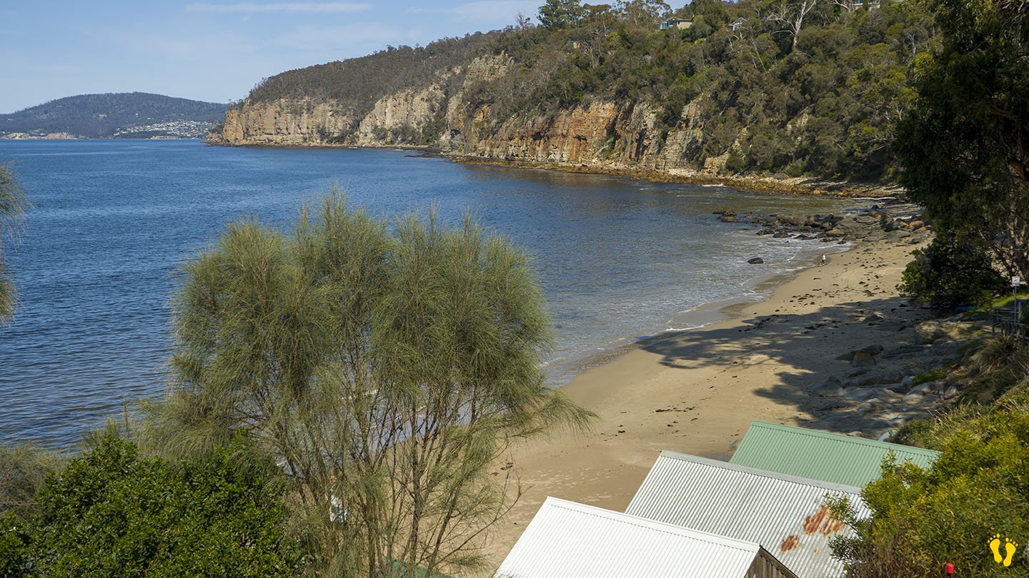
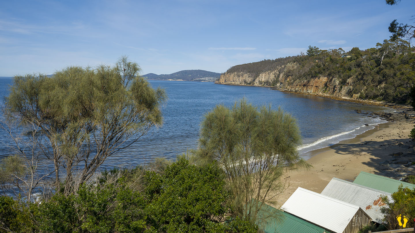
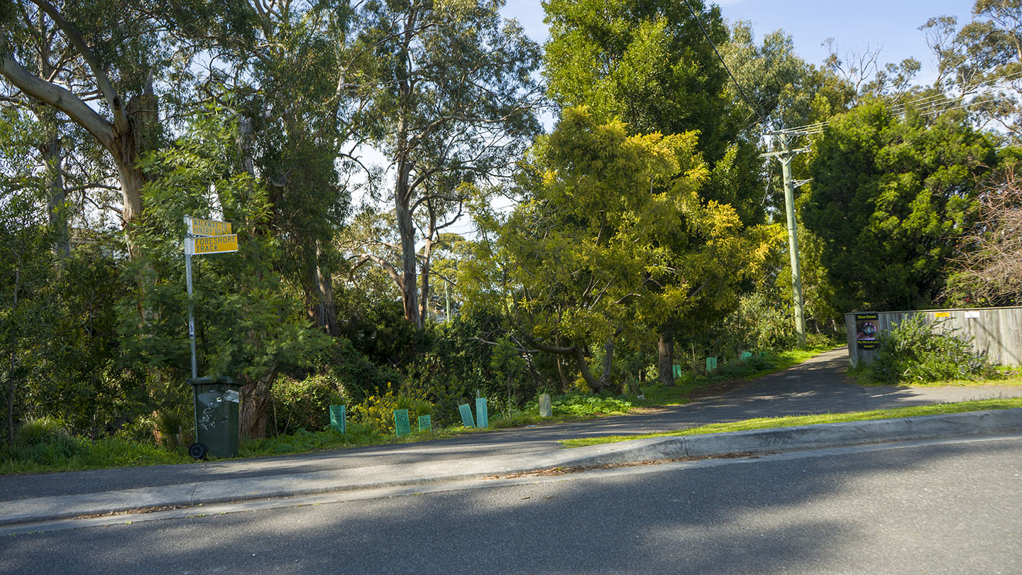
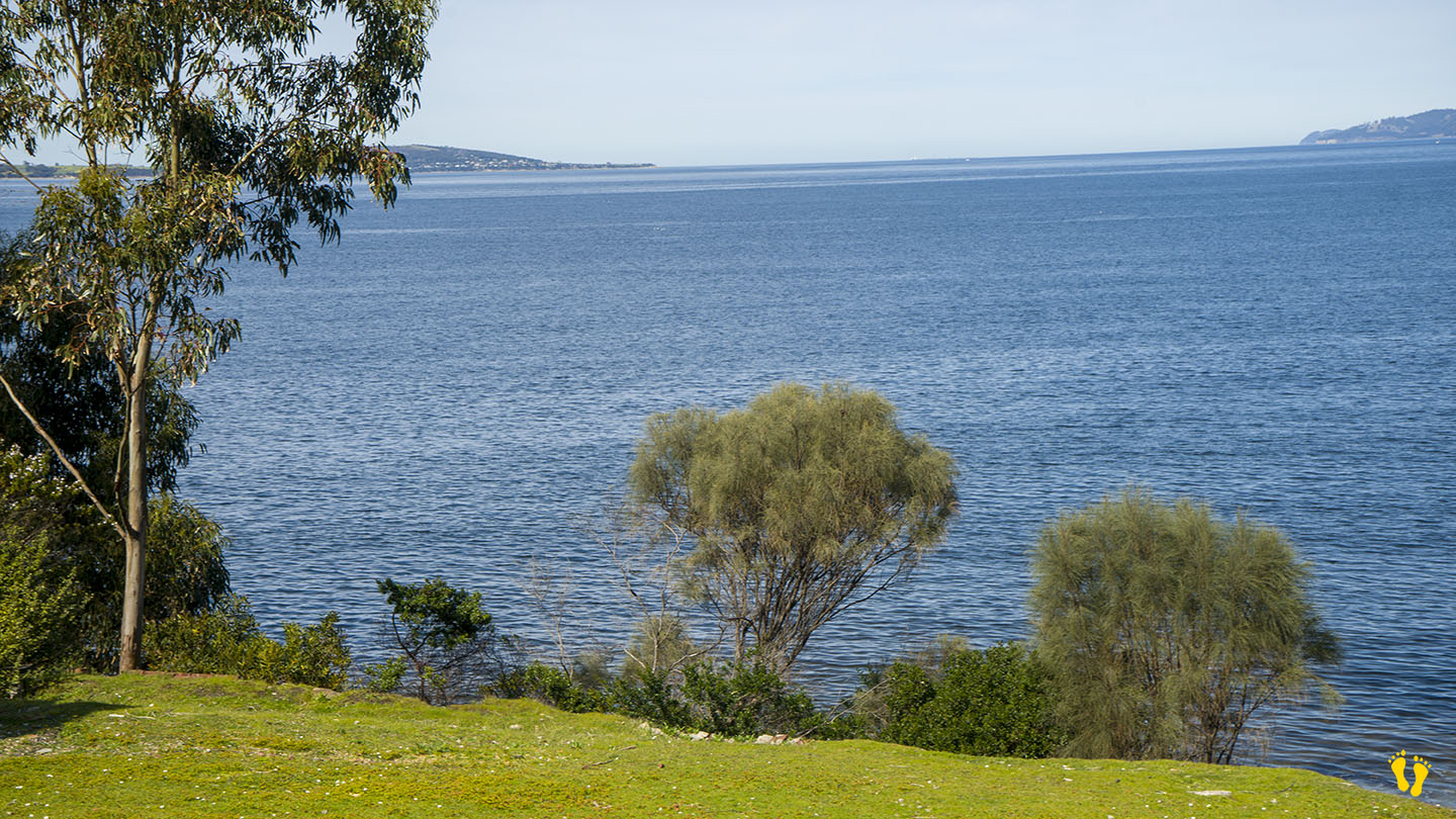
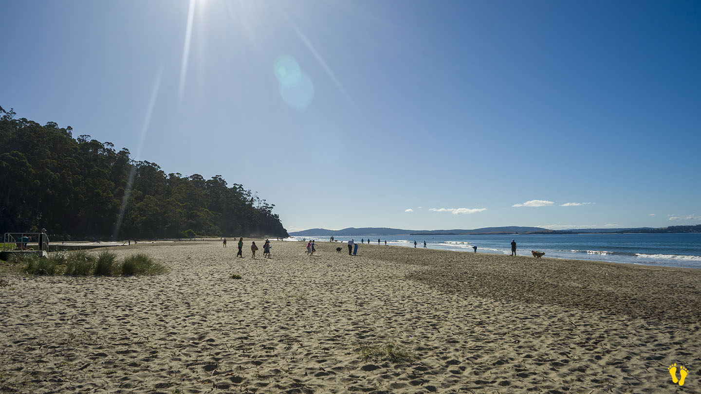
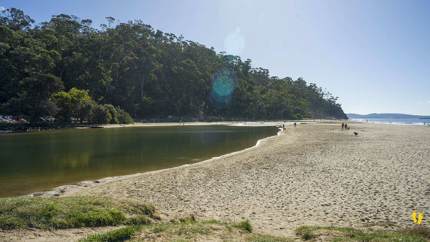
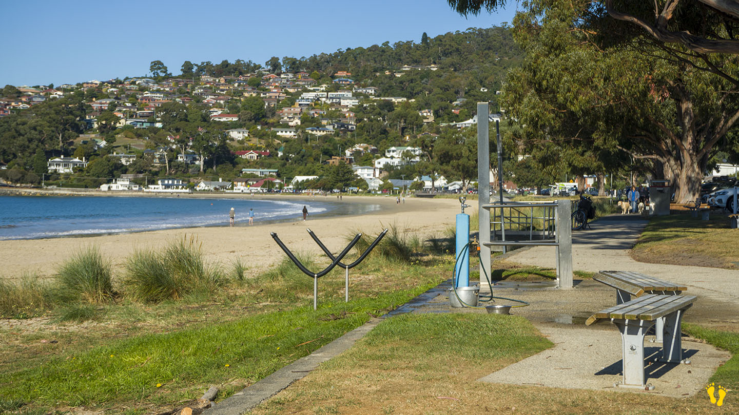
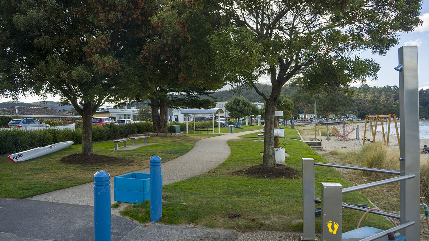
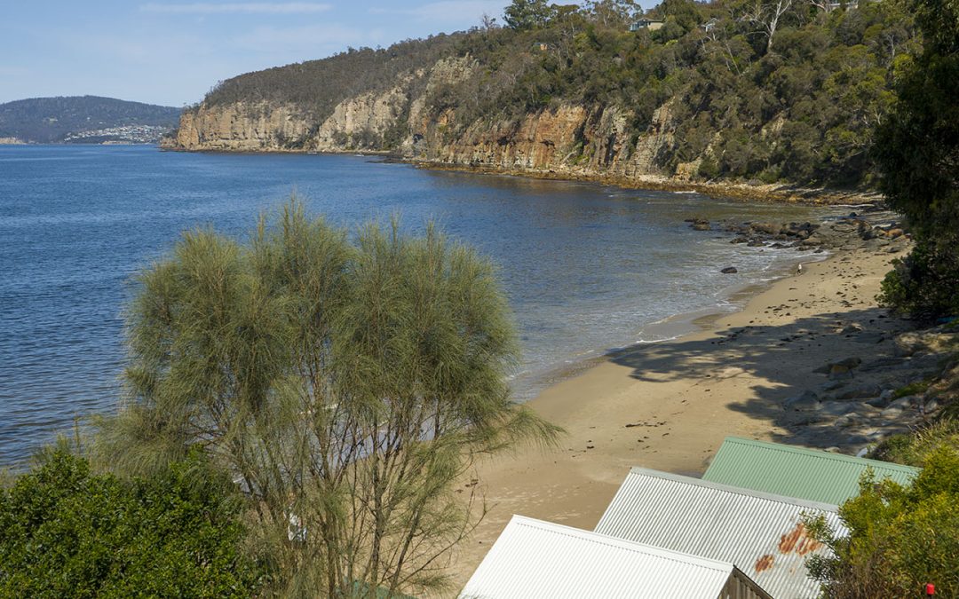
Hinsby Beach is in Taroona just south of Taroona Beach. Head down Hinsby Road (second street south past Taroona Crescent). The beach is separated from Taroona Beach by a small headland.
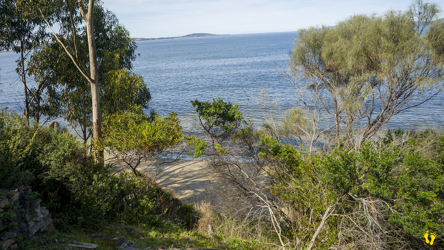
Parking is not great and beach access is via a walk about 100m down one of the 3 access points. Once there you will find a secluded interesting beach.
by Mickey Jarvis | Jan 28, 2023 | South Arm Road, Surf
Hazard Rating: 6/10 | Parking: OK | from Hobart: 40 km | Faces: South-ish into Storm Bay | Length: 2.5 km
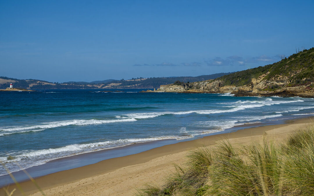
Hope Beach is situated in Southeast Tasmania off South Arm Road, extending from Goats Bluff to Cape Direction, also known as Roaring Beach. It is shown in Google Maps incorrectly positioned on the wrong side of the neck.
The east end below the bluff has a surf break known as Wedge (accessible from Goats Bluff). The west end has a surf beach known as RSL’s.
The main beach is accessible from the middle with 2 access locations each with a 100m walk. The west end is accessed from South Arm via Roaring Beach Road and a 300m walk (add 200m to RSL’s). The beach is named after a ship named, the ‘Hope’ which sank in 1827.
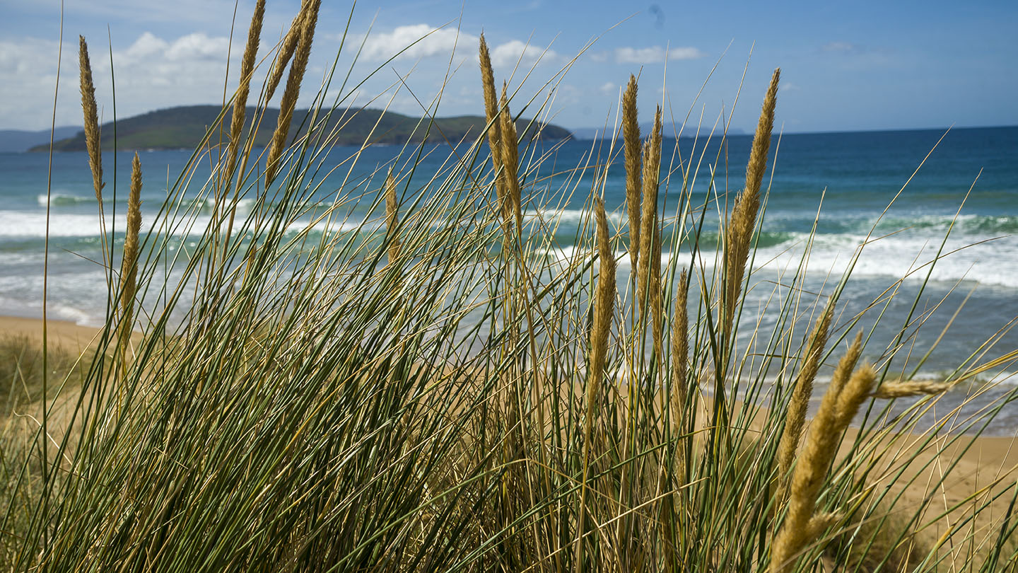
With good Views of Iron Pot Lighthouse, this is a secluded pristine beach with undulating sand dunes and a beach that often has surf.

by Mickey Jarvis | Jan 1, 2023 | Greater Hobart, Low Hazard
Eastern Shore near Hobart |
Hazard Rating: Low | Parking: Varied | from Hobart: 12 km | Faces: South into the River Derwent | Length: 1.2 km
Howrah Beach is on the Eastern Shore near Hobart and is backed by Wentworth Park. The west end has interesting rock formations and is ideal for beginner snorkeling and kids to explore. One of my favourite Hobart beaches near Hobart – take the cliff-top walk to Bellerive Beach west along Second Bluff track or even better the rocky shoreline walk to uncover interesting rock formations & caves. Exploring the foreshore gives you access to interesting geological formations, hidden caves, and glimpses into history.
There is limited parking on each end of the beach plus access mid-beach via Wentworth Park. This includes BBQ areas, playground area about 100m from the beach.
Howrah-Bellerive beaches are part of the foreshore trail. Wentworth Park was once a wetland filled in to create the park area. Named after ‘Howrah House’ a home built by an Indian Army officer in 1830, Howrah is near Calcutta in India and means swampy lake! Little Howrah Beach is a short distance to the south.
East end
Middle – via Wentworth Park – the beach is about 50m from the park
West end
by Mickey Jarvis | Mar 26, 2023 | Greater Hobart, South
Hazard Rating: 3/10 | Parking: Good + close | from Hobart: 15 km | Faces: South East into the Derwent River | Length: 1 km
Original people: Bunurong people of the Kulin Nation.
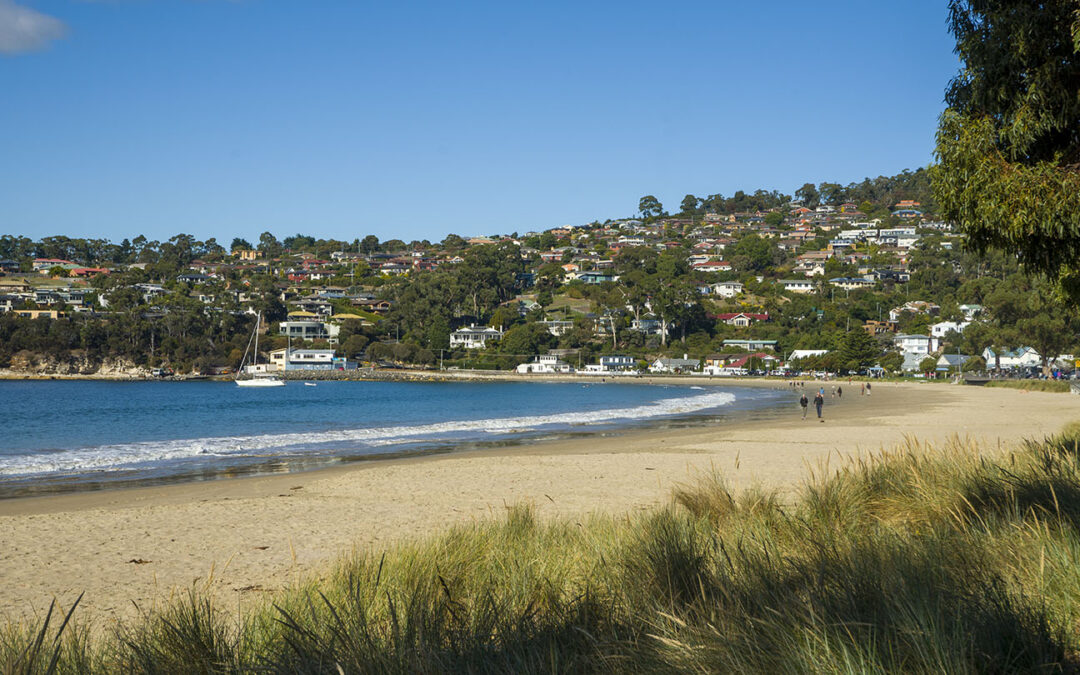
A popular beach south of Hobart. Toilets mid beach (opposite beach road) and a basic playground towards the south end. Many tables and grassy areas.
The south-ish end is close many restaurents and cafes.
Dogs are not allowed on the beach but can access the beach walkway and the north end at Browns River has a dedicated dog beach area.
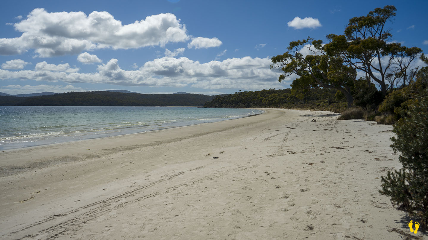
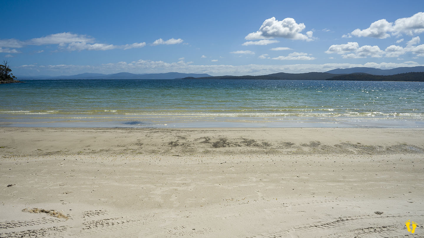
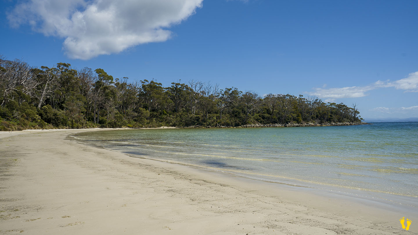
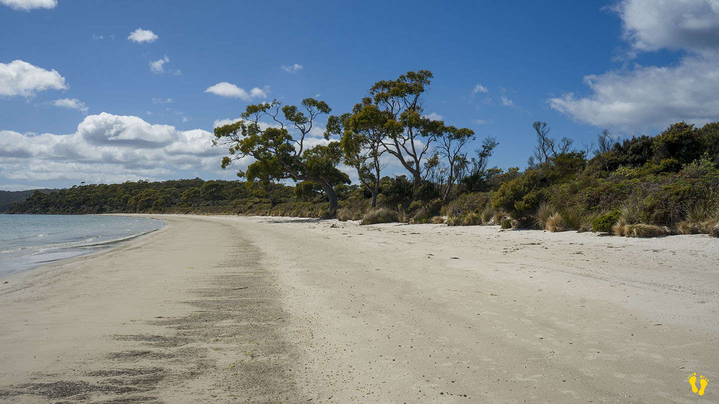
by Mickey Jarvis | Nov 23, 2024 | Bruny Island, Low Hazard
Bruny Island | Hazard Rating: 1/10 | Parking: Good + close | Faces: Nor-West into Great Taylors Bay | Length: 700 m
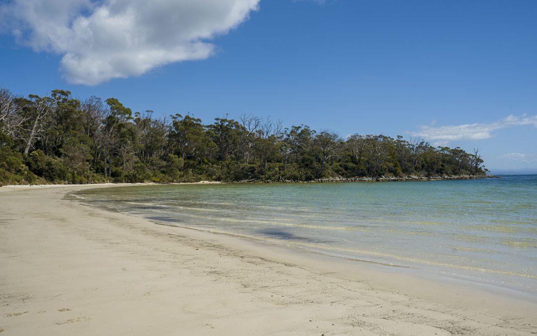
Lighthouse Jetty Beach (or Jetty Beach) is on south Bruny Island on the way to the Lighthouse (far south). Turn right about 2km before the Lighthouse and head down Old Jetty Road about 4km on a well signposted good dirt road.
The beach is in a sheltered part of Great Taylors Bay that has safe swimming, snorkeling and fishing with basic boat access.
The Jetty Beach Campground is next to the beach and has parking for access to the beach.
The campground is situated in a beautiful natural environment surrounded with trees and wildlife. Pit toilets and water (which you should boil). For camping at a safe beach at a relatively unknown beach, this is a great choice. Small kids will love it! Managed by Parks and Wildlife the self booking fees are very reasonable.
Named after a jetty (now missing) that supplied the Lighthouse at Cape Bruny about five kilometres away.
Google Maps has confused Lighthouse Jetty Beach, Jetty Beach and Kingfisher Beach locations. Also not to be confused with Jetty Beach at Dennes Point at the north end of Bruny.