by Mickey Jarvis | May 7, 2024 | Low Hazard, South East, Tasman Peninsula
Near Port Arthur |
Hazard Rating: 1/10 | Parking: Roadside | from Hobart: 92 km | Faces: NE into Carnarvon Bay | Length: 1 km
Original Name: Turrakana, the homeland of the Pydairrerme (Tasman Peninsula’s Aboriginal people)
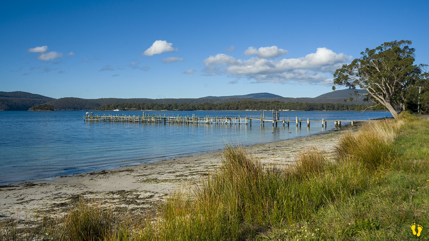
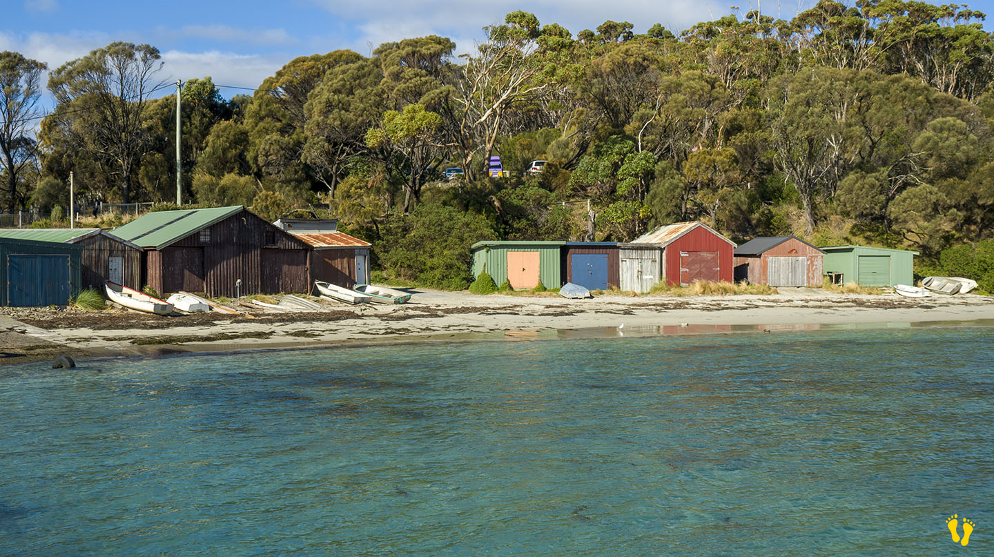
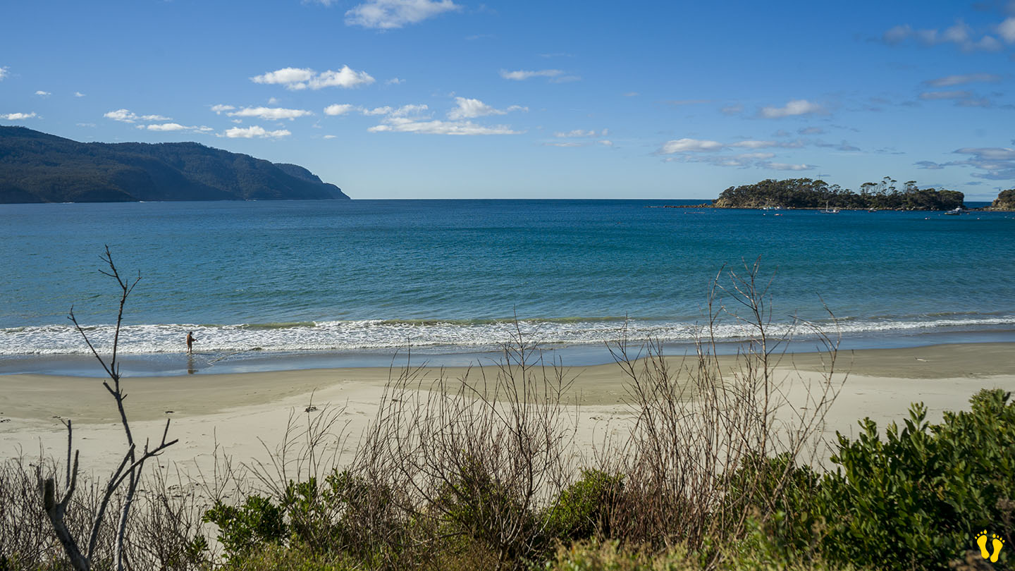
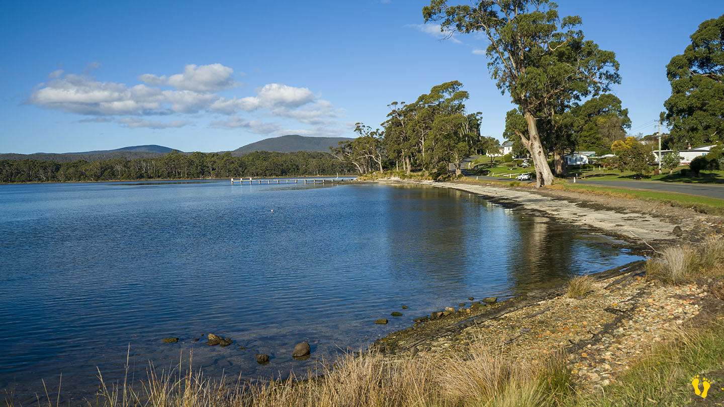
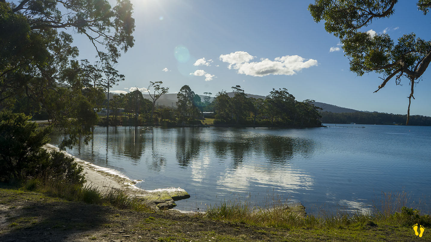
Big Possum Beach is on the Tasman Peninsula 1.5 km south of Port Arthur on Safety Cove Road on the way to Remarkable Cave.
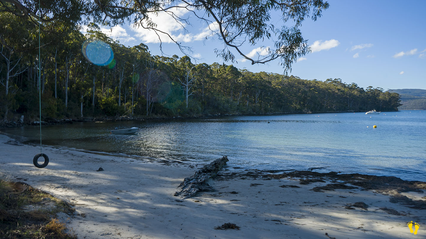
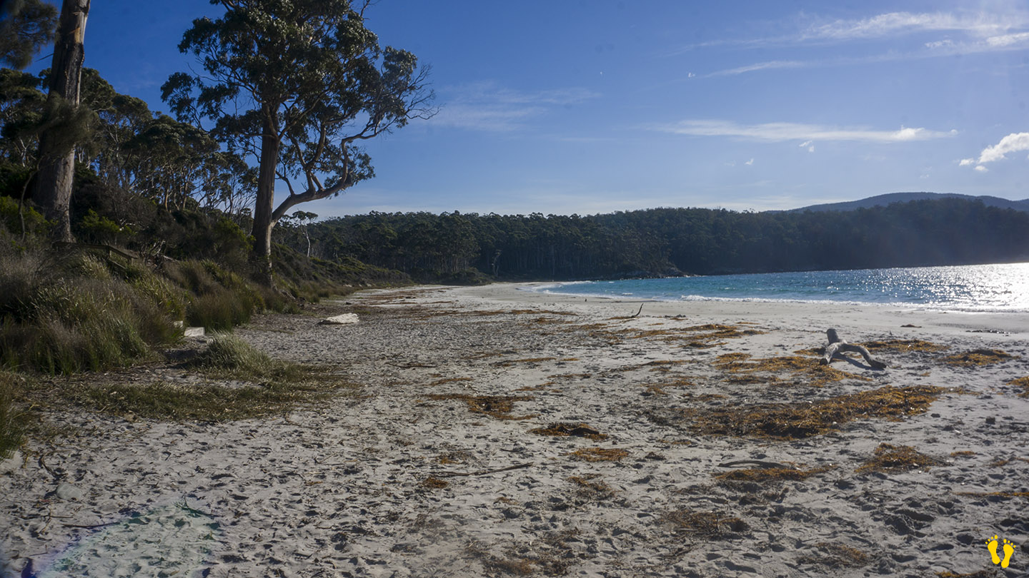
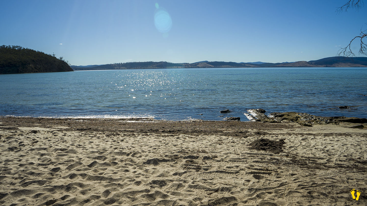
A small quaint unknown roadside beach ideal for families and kids.
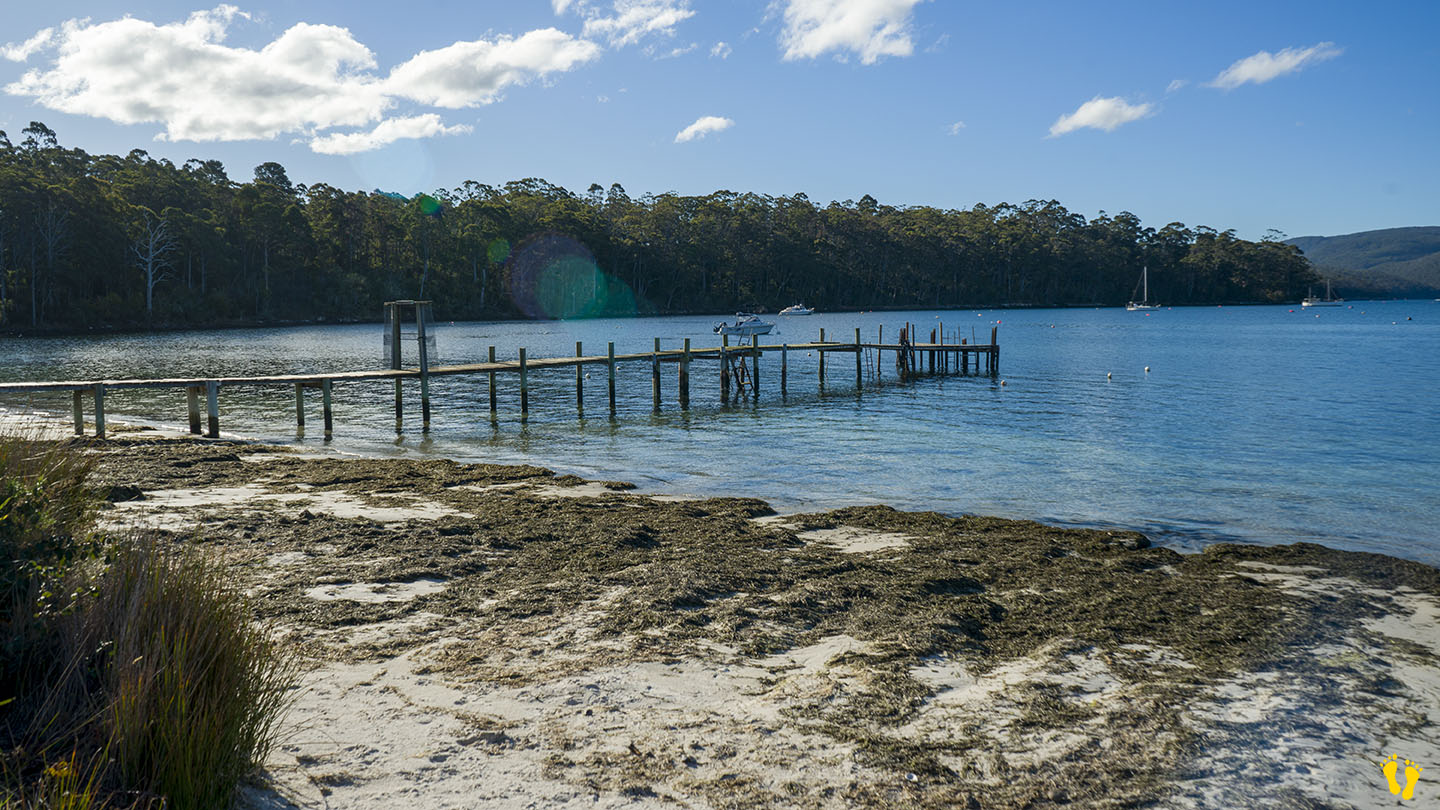
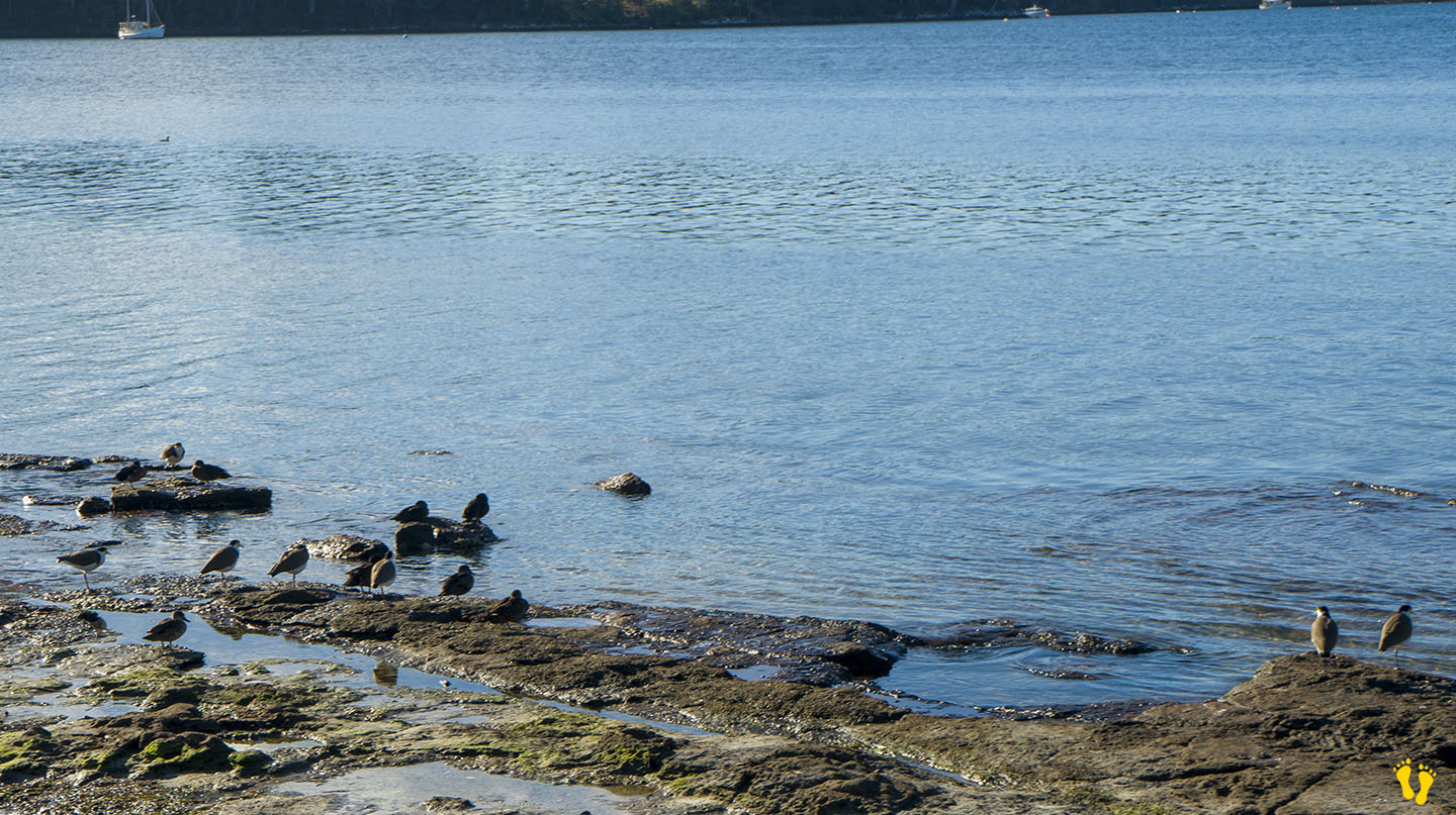
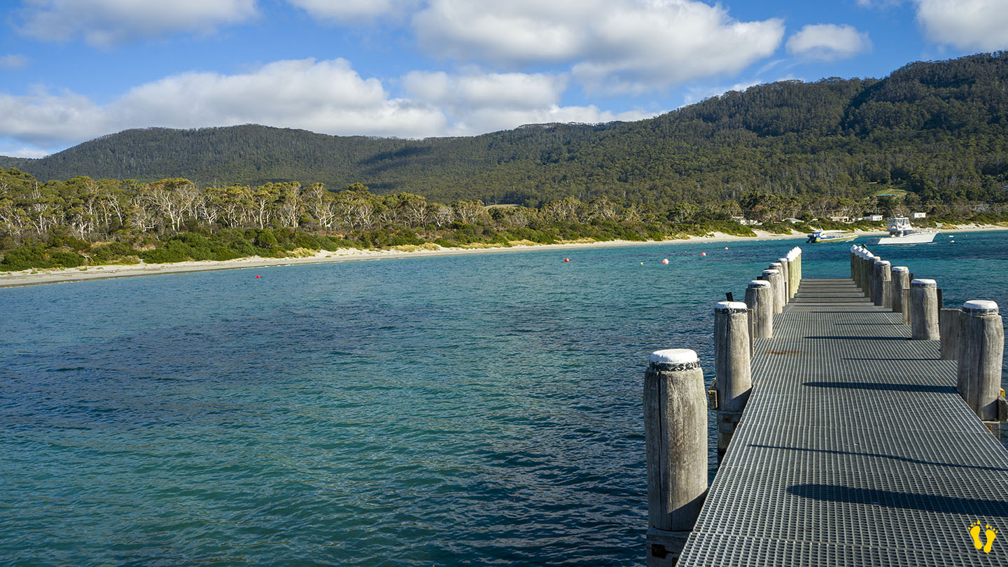
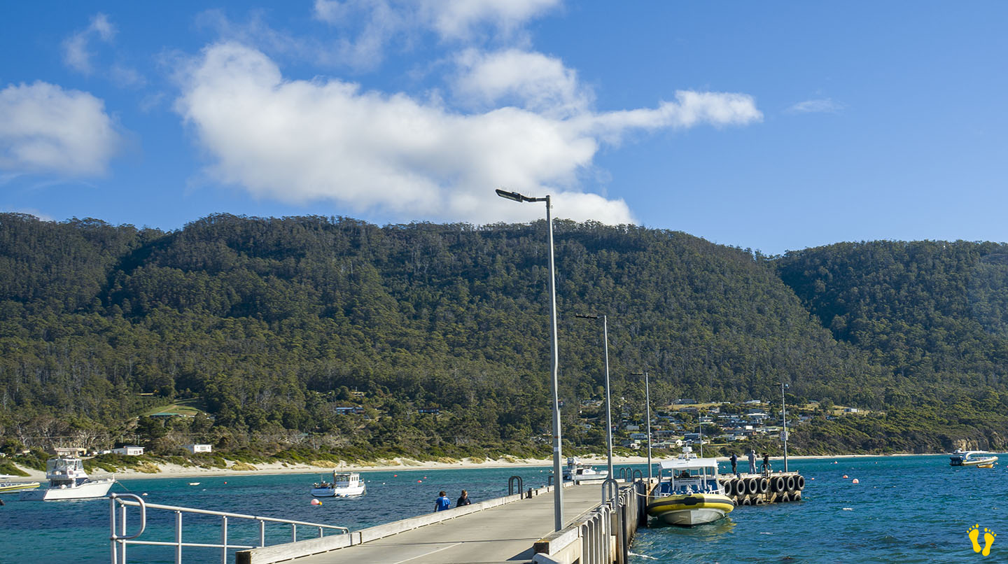
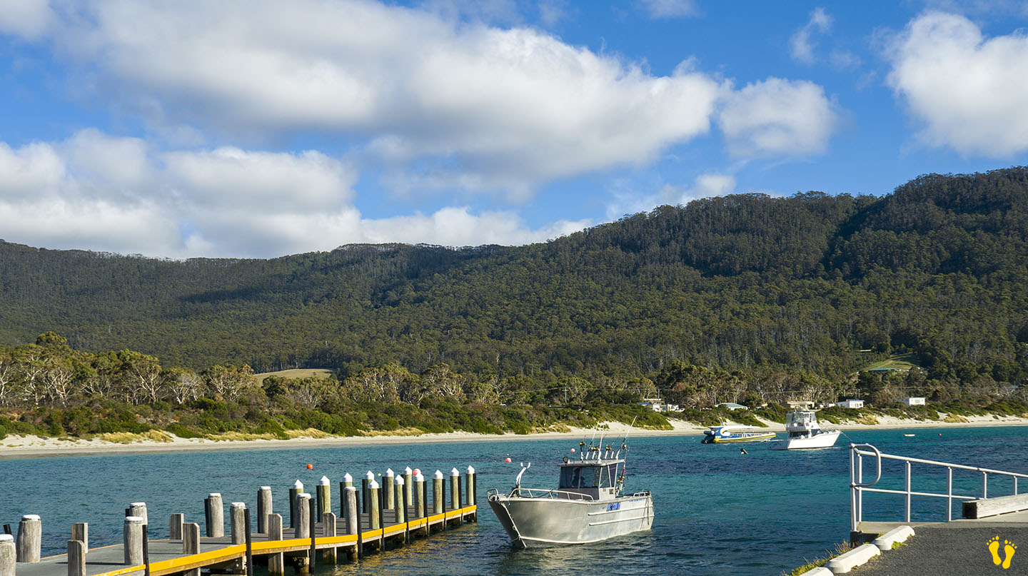
Walk, swim, paddle, swing on an old-style tire swing, walk out on a somewhat suspect jetty or watch bird life while taking in the stunning views across Carnarvon Bay.
by Mickey Jarvis | Mar 16, 2023 | South East, Tasman Peninsula
Hazard Rating: 1/10 | Parking: Good + close | from Hobart: 60 km | Faces: SW into Norfolk Bay | Length: 2 km
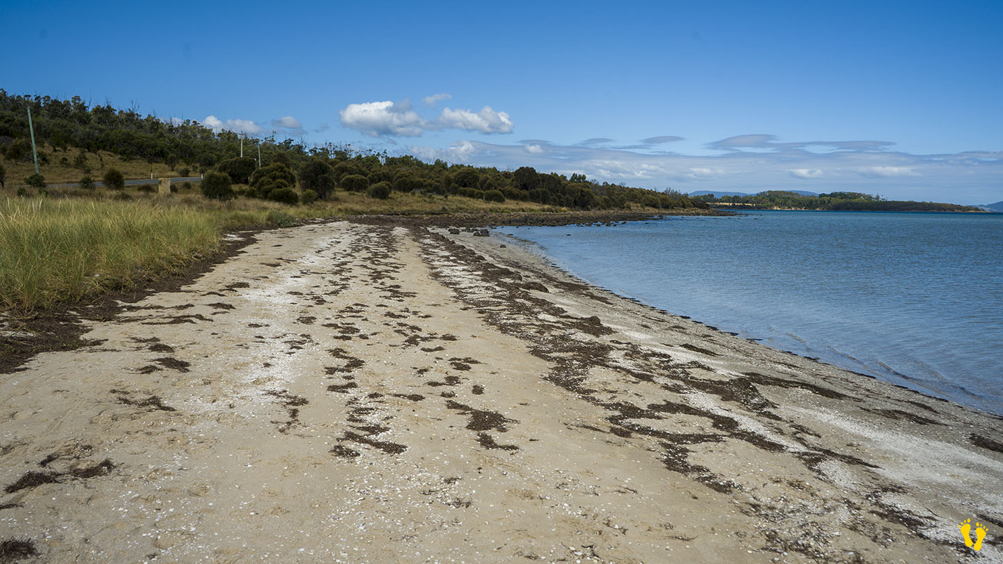
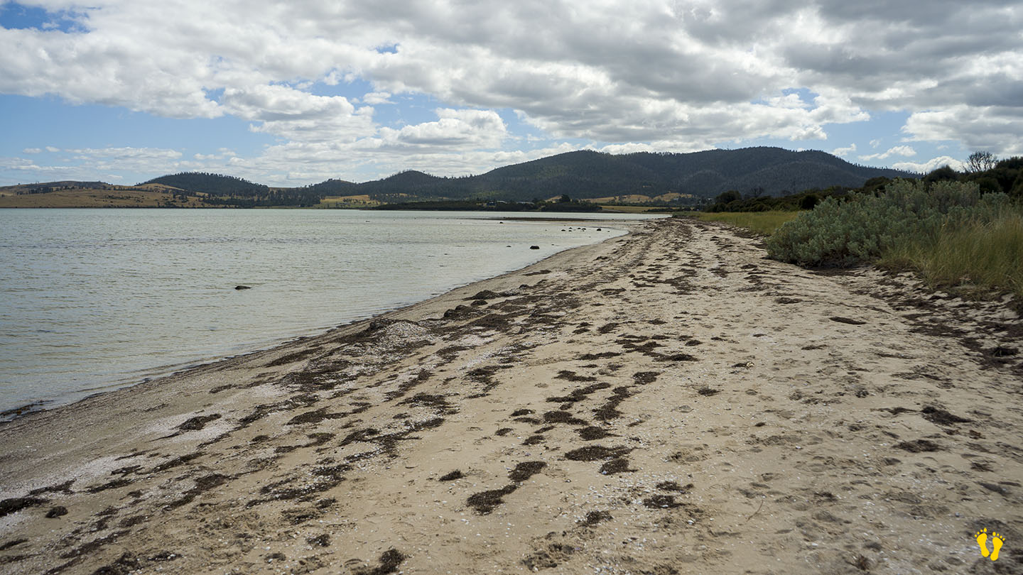
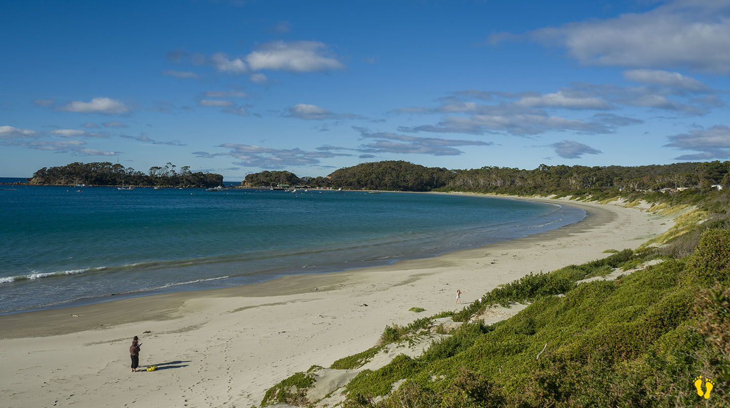
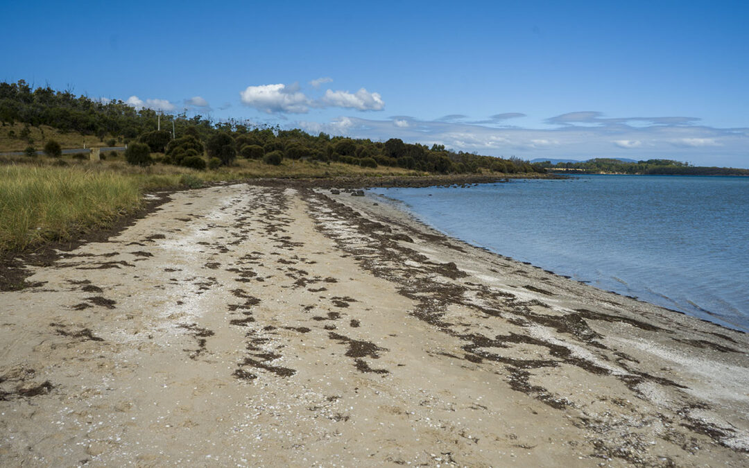
1 km just past Dunalley is Dunalley beach (south end called Carlisle Beach). The beach has a gradual beach shore and is great to explore particularly on a low tide. Close to main road with parking at the south end. Grab a takeaway from one of the excellent food venues in Dunalley and sit on the beach to eat.
Originally named East Bay Neck, the small settlement was changed to Dunalley in 1839 by an early settler after Henry Prittie, the third Baron Dunalley – a title from County Tipperary in Ireland. Located on the Arthur Highway on a narrow isthmus which separates the Forestier and Tasman Peninsulas.
Overlooks Fulham Island to the north and Smooth Island to the south.
by Mickey Jarvis | Mar 31, 2024 | South East, Surf, Tasman Peninsula
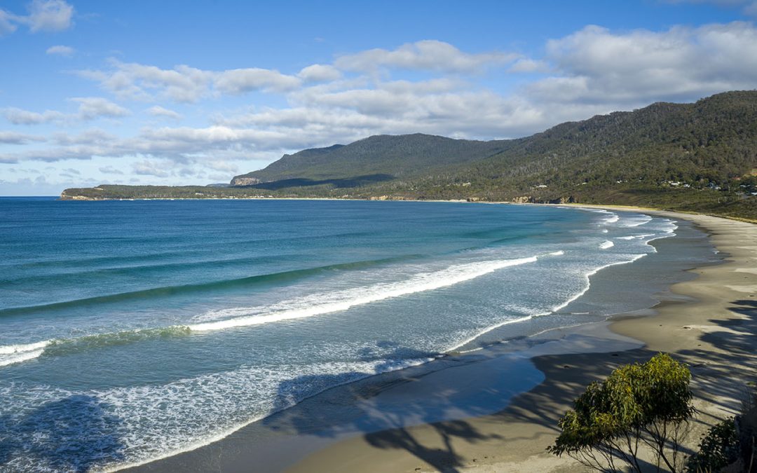
Pirates Bay – South East Tasmania
Hazard Rating: 6/10 | from Hobart: 75 km | Faces: East into Pirates Bay | Length: ~ 4 km
Original name: Teralina | Original people: Nuenonne |
Eaglehawk Neck is an isthmus (neck) on the way to Port Arthur. Eaglehawk Bay is on the neck’s west side, and Pirates Bay is on the east side.
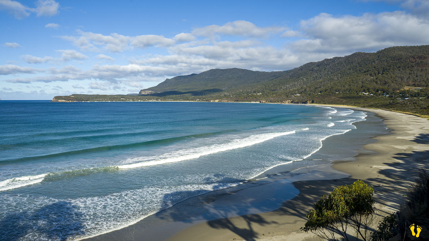
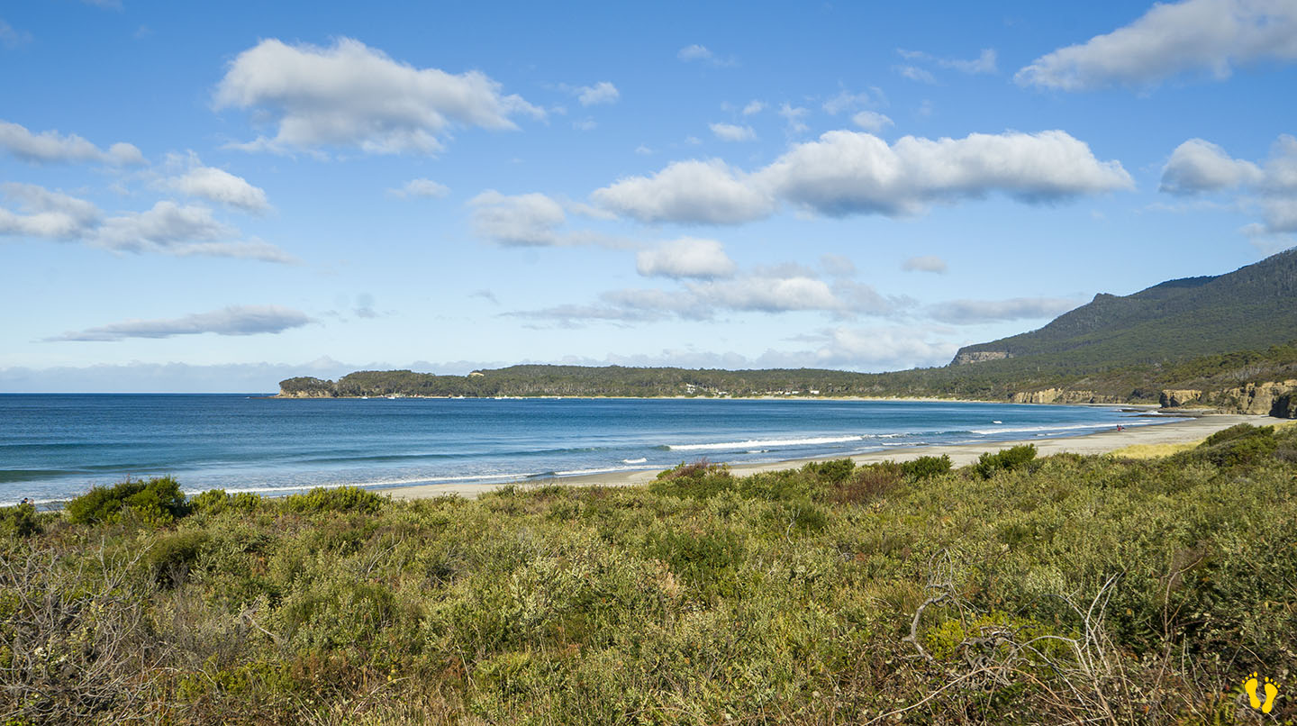
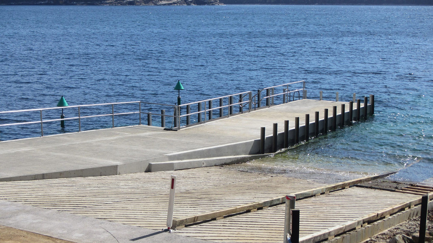
The east side has a wonderful sweeping beach with white sand facing out into Pirates Bay – the Tasman Sea and the next stop – New Zealand. Various access points and parking along its length. Toilets are at each end and an excellent boat ramp on the south end.
The beach has several headlands creating overlapping beach names, including;
- Eaglehawk Neck Beach | Pirates Bay Beach | Egg Beach | Quarry Beach | Descent Beach
The beach often has surf, generally better on the north end and more protected on the south end near the Blowhole. The north end has the Tesselated Pavement area, a geographical marvel worth a look. Views of Fossil Island on the south end, a whole new mystery!
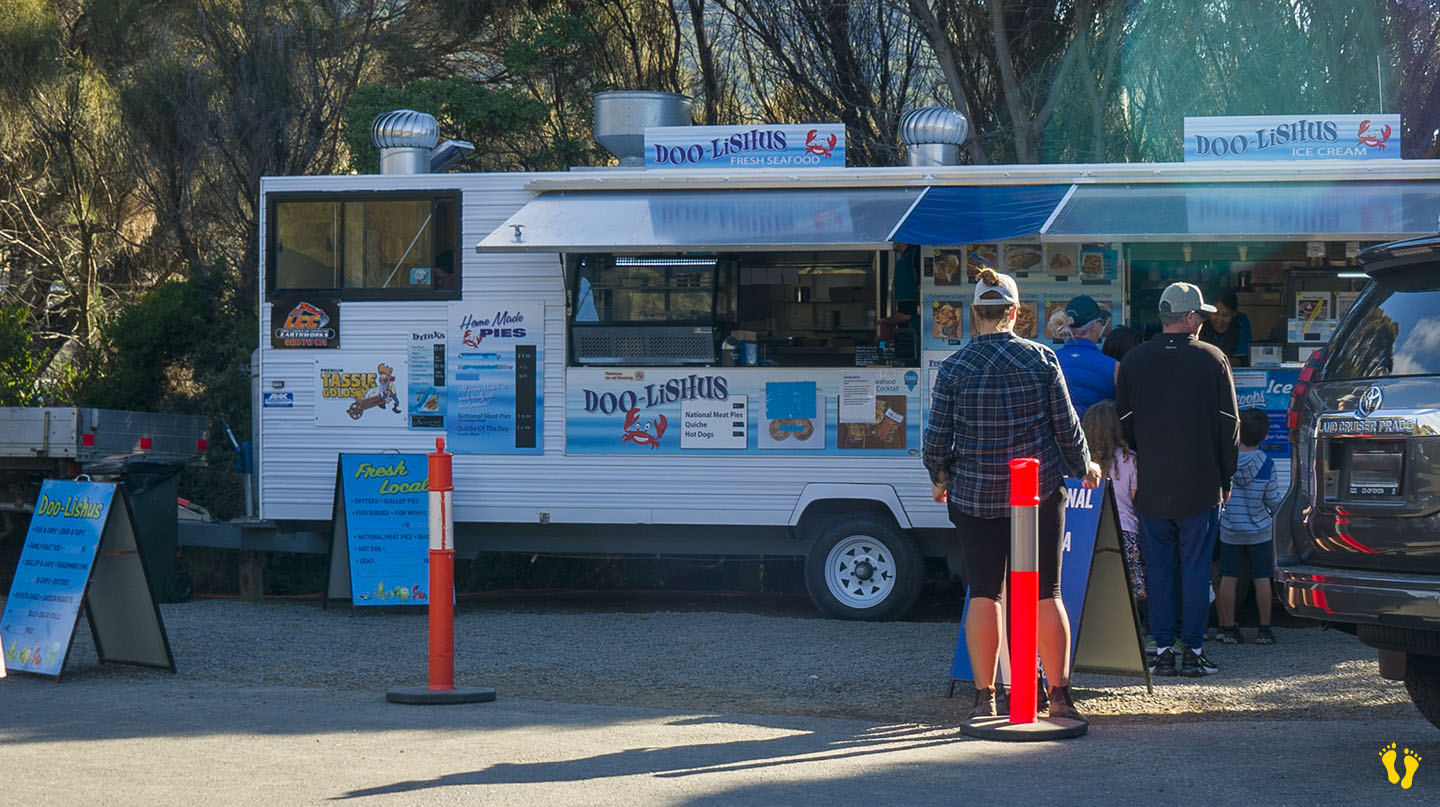
Great seafood takeaways at Doo-lishus near the blowhole on the south end (closed in winter). Food and accommodation can be found at the Lufra Hotel.
The name Eaglehawk Neck combines Eaglehawks (Wedge-tailed Eagles) found in the area and its geographical Neck.
The south end has a quirky town named Doo Town after properties each with a name called Doo-Something. In 1935, Hobart architect Eric Round started a tradition when he named his shack Doo I. The idea soon caught on with most of the town’s shacks now having “Doo” names – the likes of Doo Nix, Make Doo, Much-a-Doo, Doo-Me, Doo-Us, Just Doo It, Doo Drop Inn, Dr Doolittle, Make Doo, Gunnadoo, etc… you get the drift!
‘Teralina’ was the Aboriginal name for Eaglehawk Neck. Pirates Bay was originally named Monge Bay by French explorer Baudin but was later renamed around 1822 when escaped convicts took possession of a transport ship called the Seaflower and thus became pirates!
by Mickey Jarvis | Jul 11, 2026 | Low Hazard, South East, Tasman Peninsula
Hazard Rating: 3/10 | Parking: Good | from Hobart: 94 km | Faces: NE | Length: 700 m
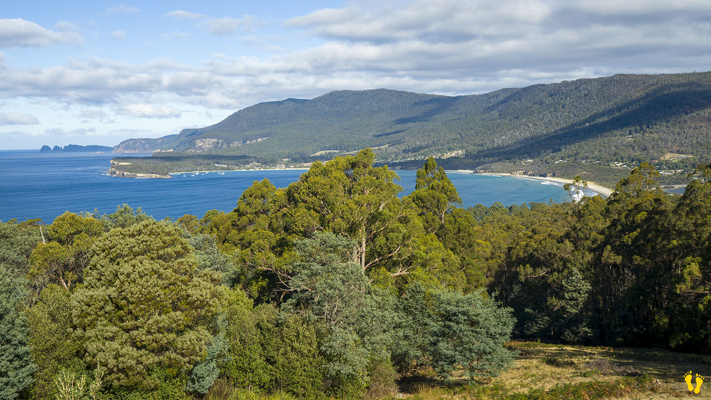
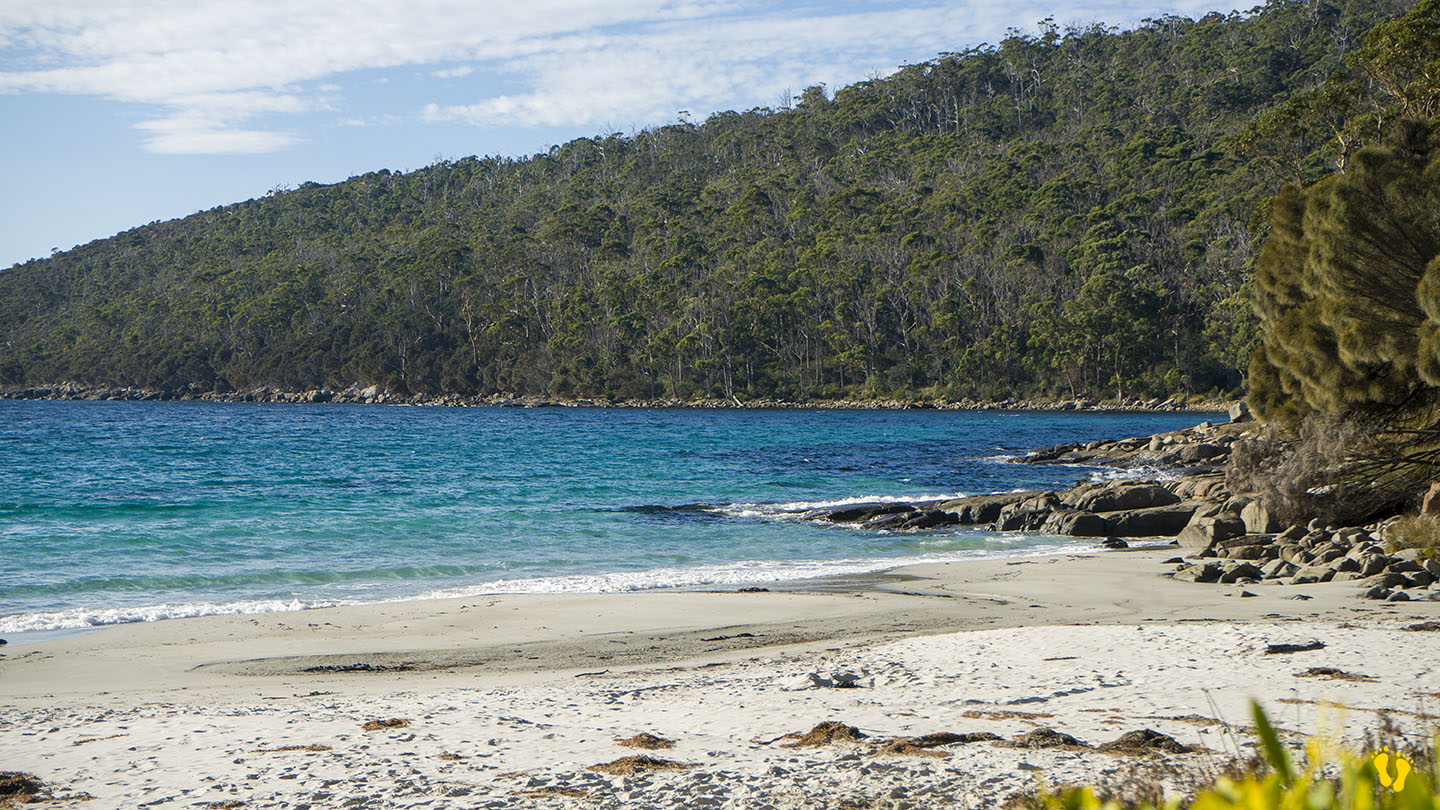
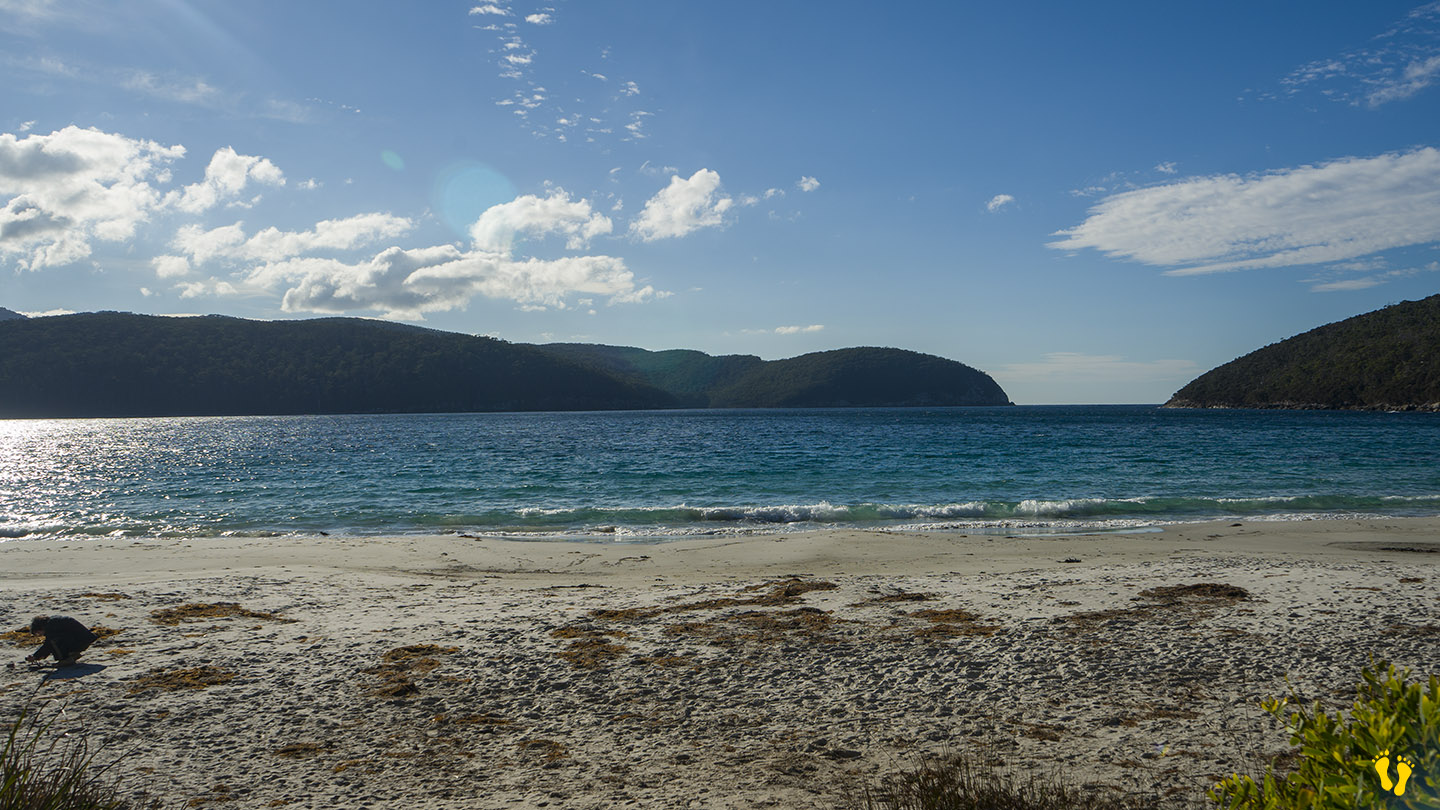
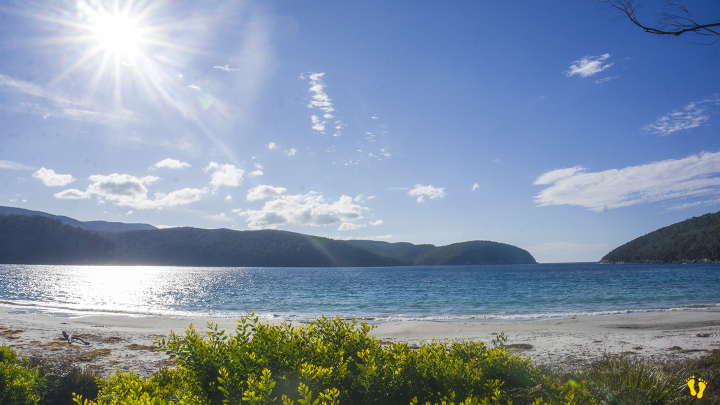
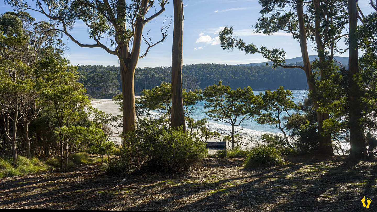
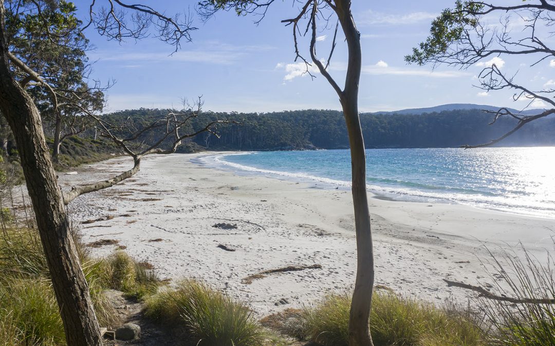
Fortescue Bay is a stunning beach located on the Tasman Peninsula. To access, turn left about 4 km before Port Arthur and travel 12 km down a dirt road suitable for 2WD vehicles.
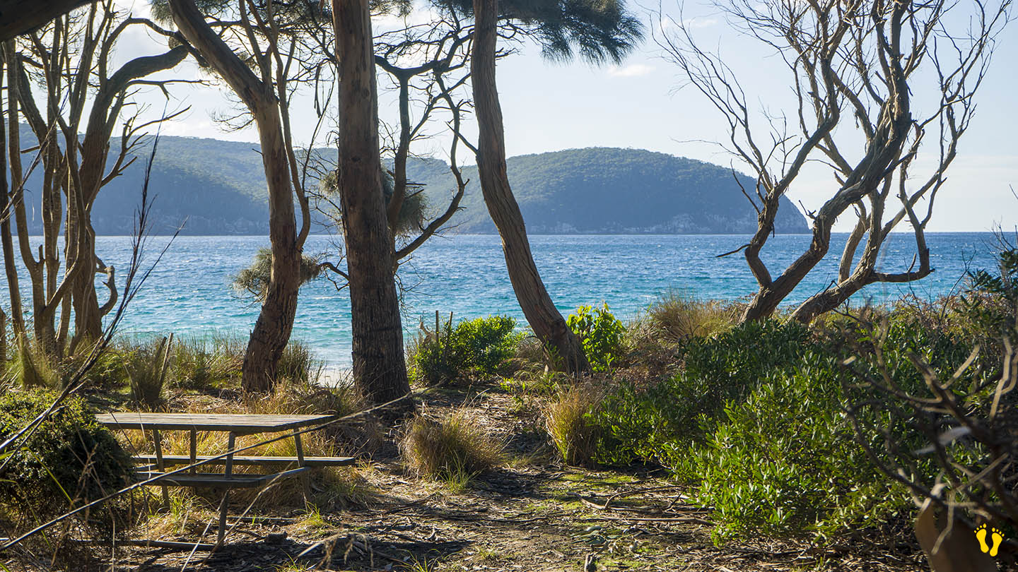
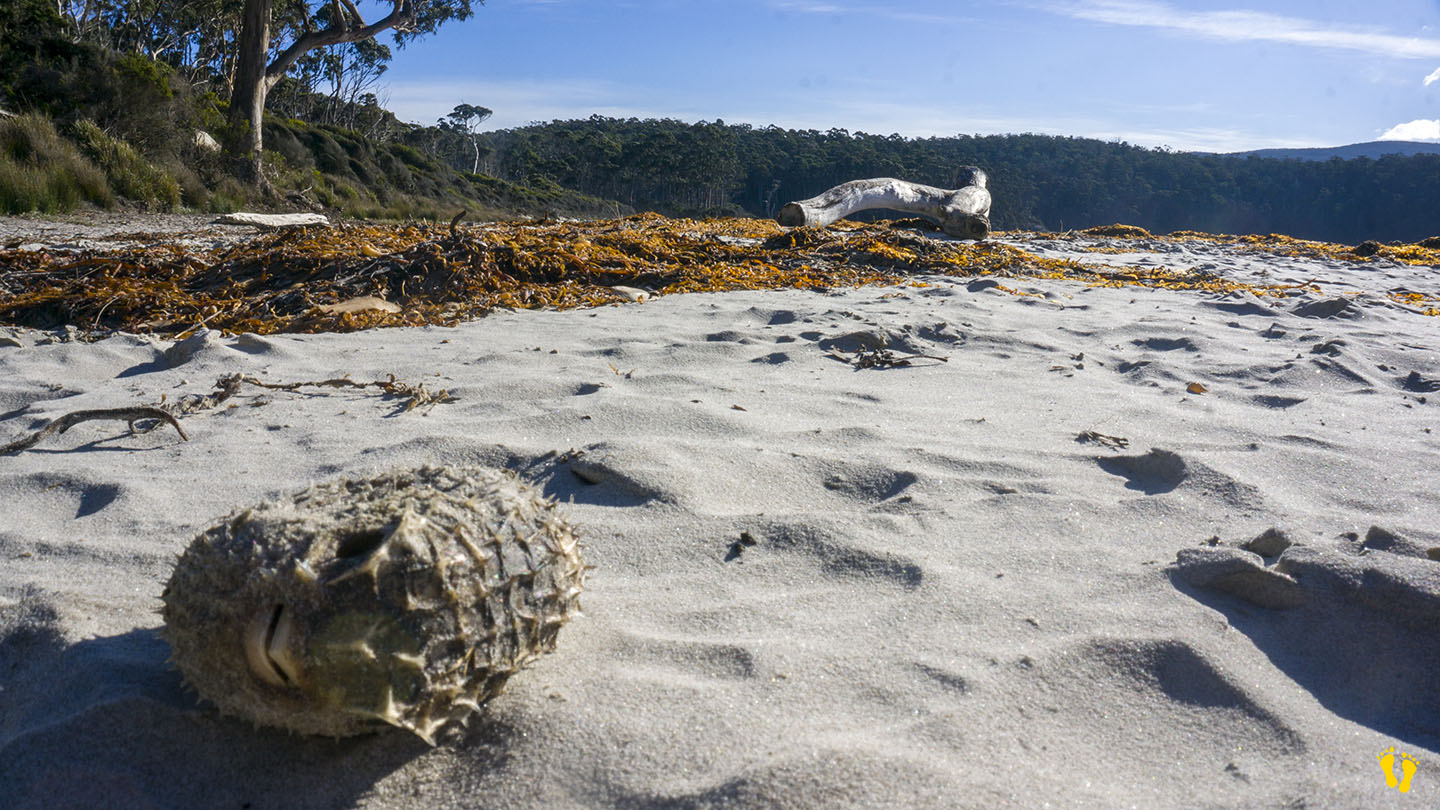
A somewhat protected beach with white sand, aqua water and surrounded by Eucalyptus trees. Ideal for swimming, fishing, diving (including magnificent kelp columns) and walks along the beach where you never know what you may find washed up on the beach. This is one of the premier beaches in Tasmania that still allows camping with over 40 sites available for tents, campervans, and caravans (no powered sites). For detailed information, click here.
Fortescue Bay is worth a visit as a day trip or to camp – it has everything, a beautiful beach, stunning views and the feeling of being in the middle of nowhere – which it is! – you will not be disappointed.
Originally charted as Baie Dolomieu by French explorer Nicolas Baudin in 1802 to honor the French mineralogist Déodat de Dolomieu. It was subsequently renamed Fortescue Bay by British surveyor Robert Scott in the early 19th century after a British naval officer.
This is a TasPlay review of Fortescue Bay – you can contact us at contact@tasplay.com.au.
If this page was helpful, please give us a thumbs up.
by Mickey Jarvis | Apr 2, 2024 | Low Hazard, Tasman Peninsula
Hazard Rating: 1/10 | Parking: Campground | from Hobart: 110 km | Faces: NE into Lime & Norfolk Bays| Length: 1.1 km
Original Name: Turrakana, the homeland of the Pydairrerme (Tasman Peninsula’s Aboriginal people)
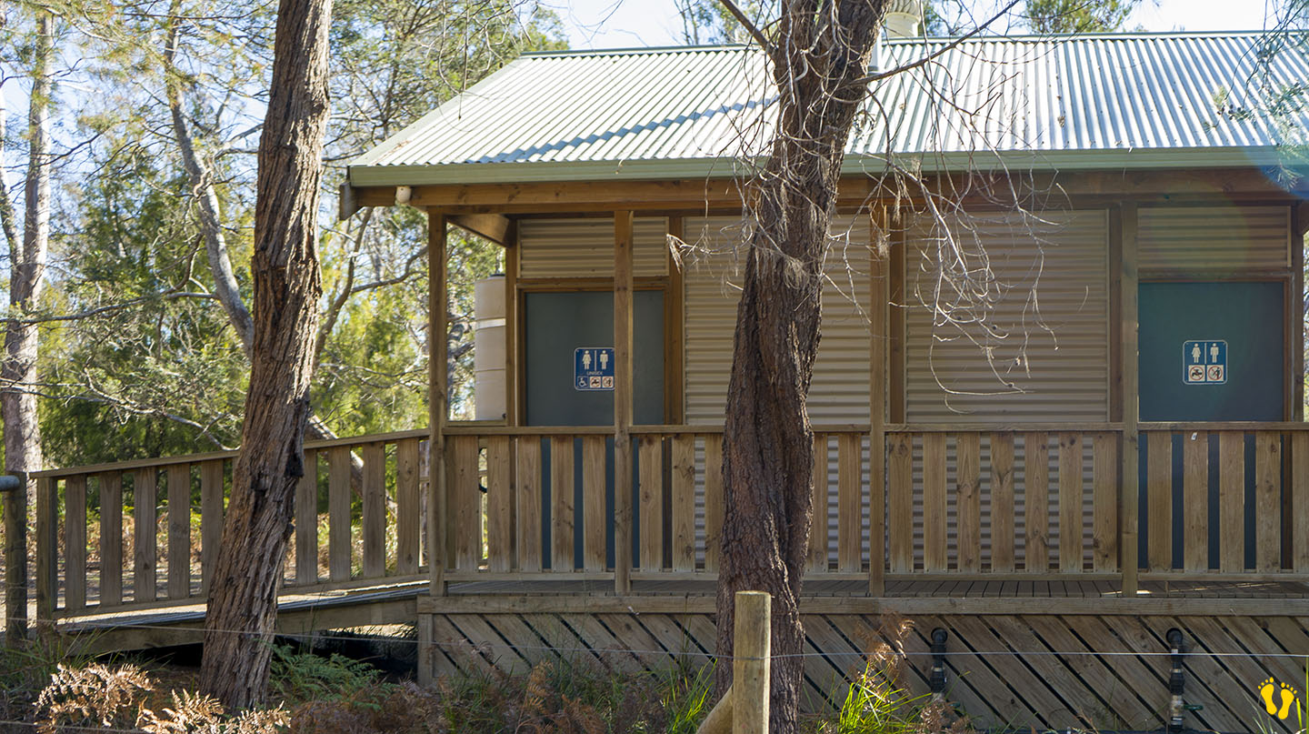
Wheelchair access: Disabled toilets and some access to the beach down a hard-packed dirt track to the left beach.
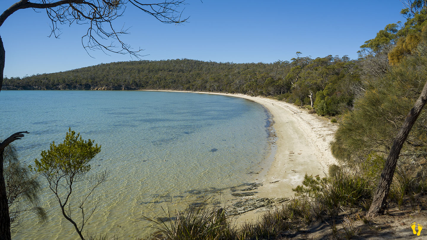
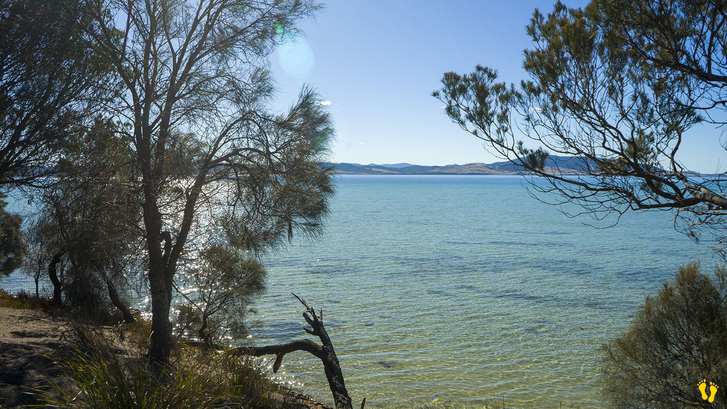
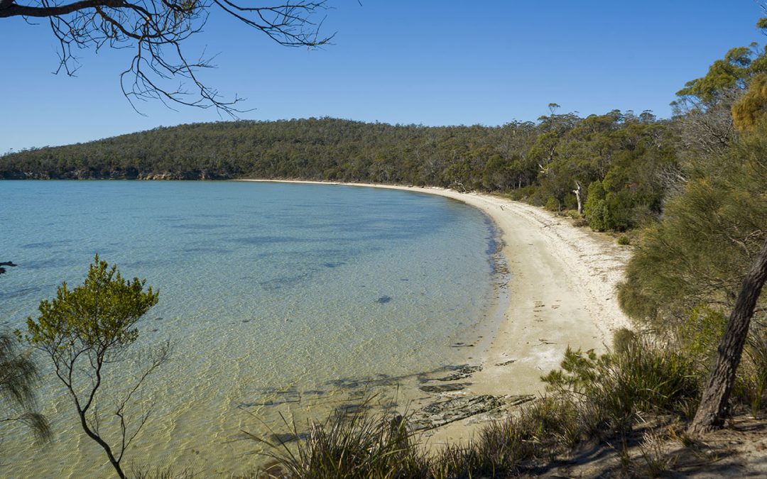
Lime Bay on the northwest side of the Tasman Peninsula consists of 2 beaches facing north-ish with a 150m headland between them.
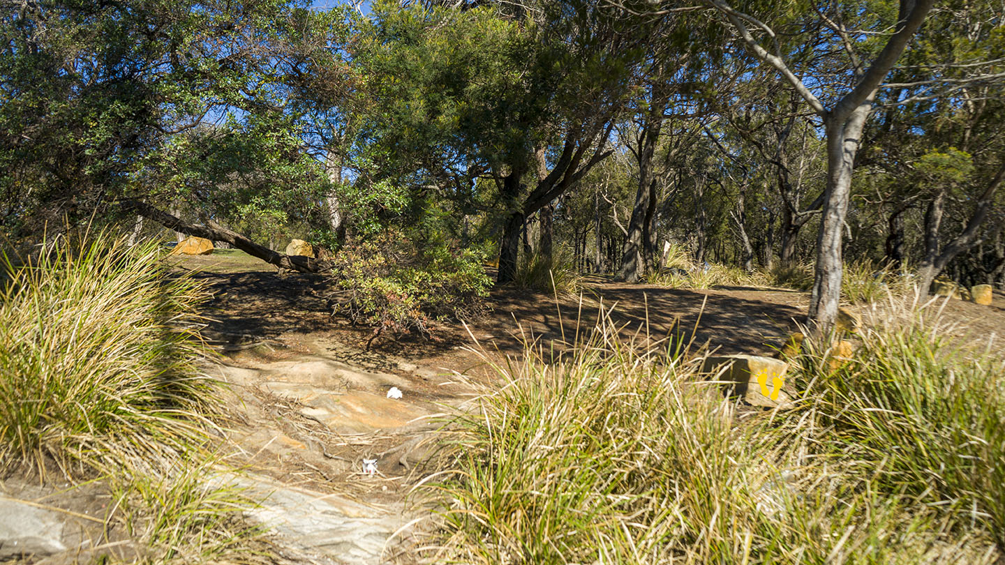
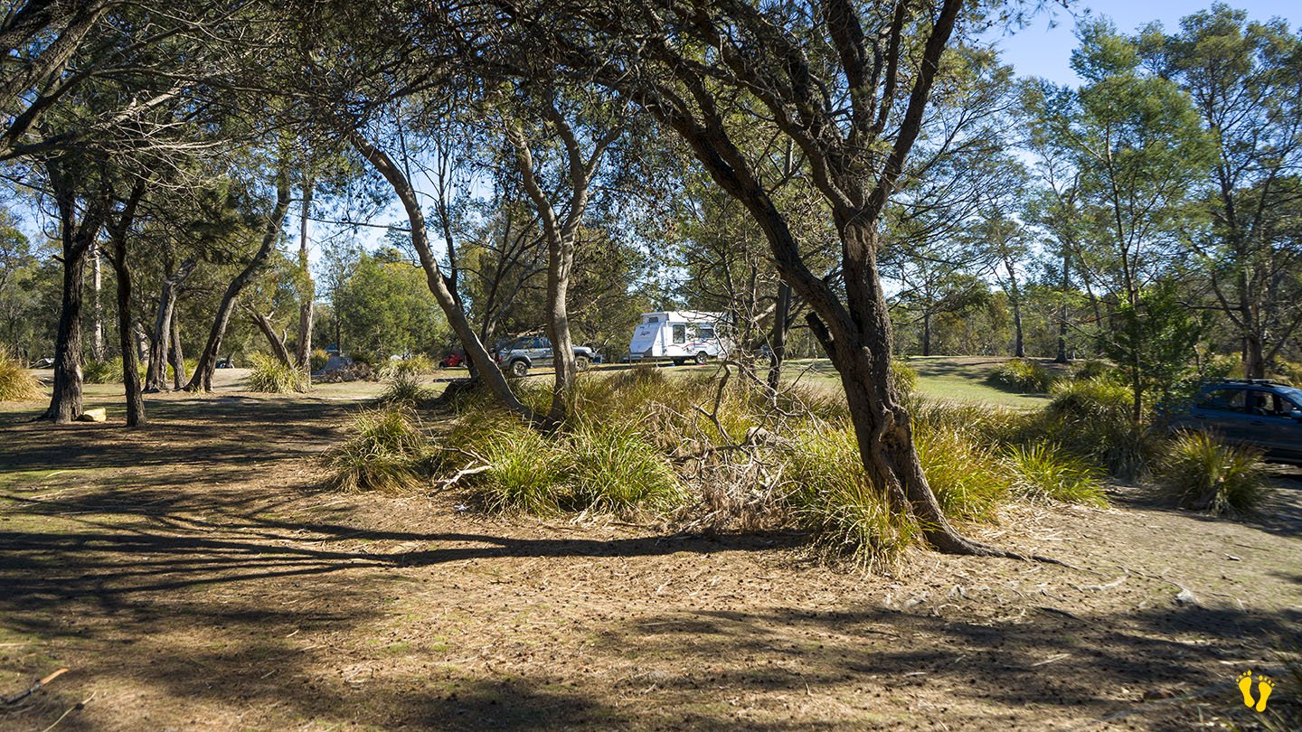
The camp-ground is on the headland. No dogs allowed.
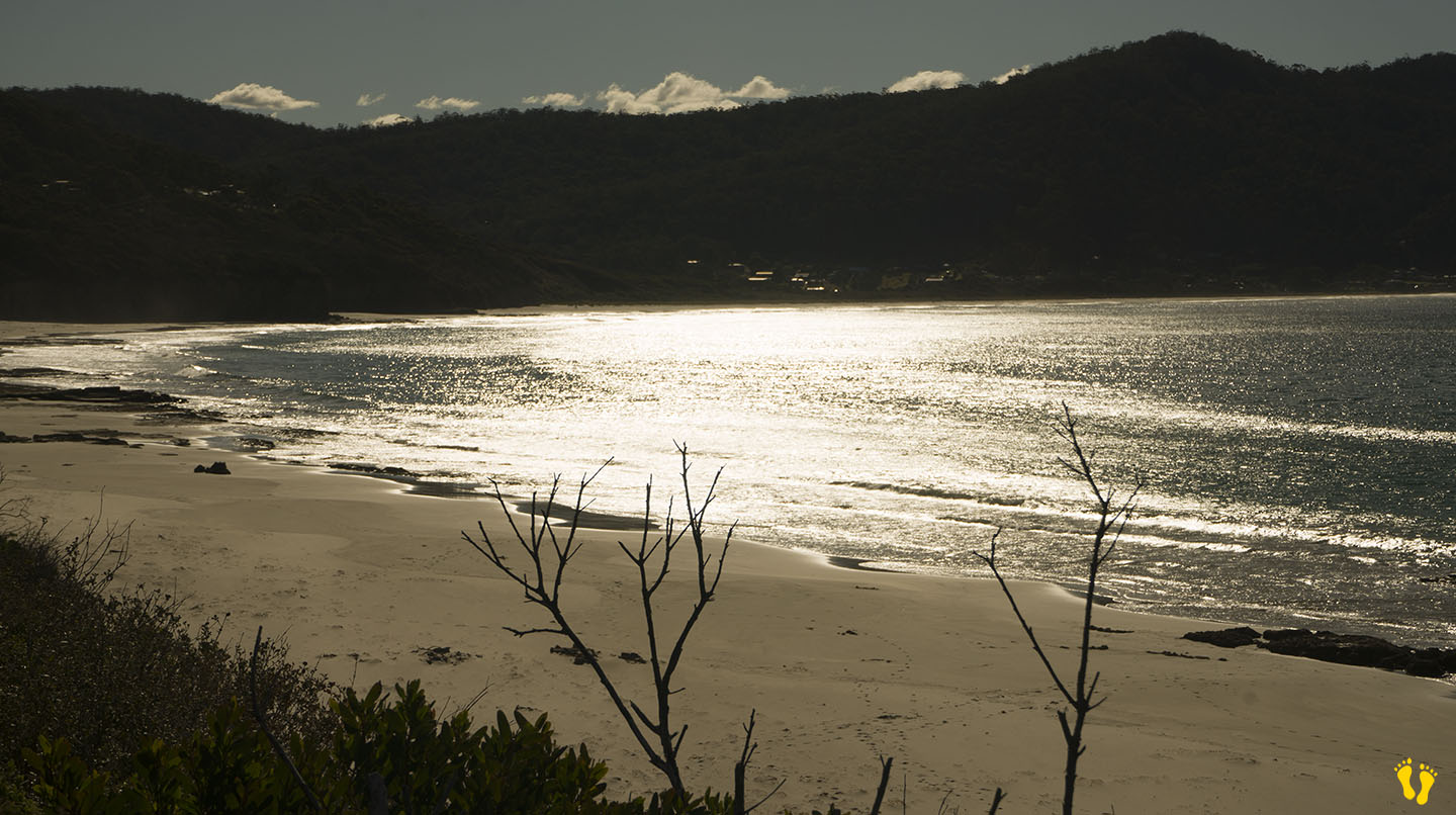
Each beach is a low-gradient beach with occasional minor wind waves. Access to the beaches is from the camp-ground, about 50m to each beach. The beaches are tranquil, well-protected and great for swimming, snorkeling and kids (and adults) to enjoy.
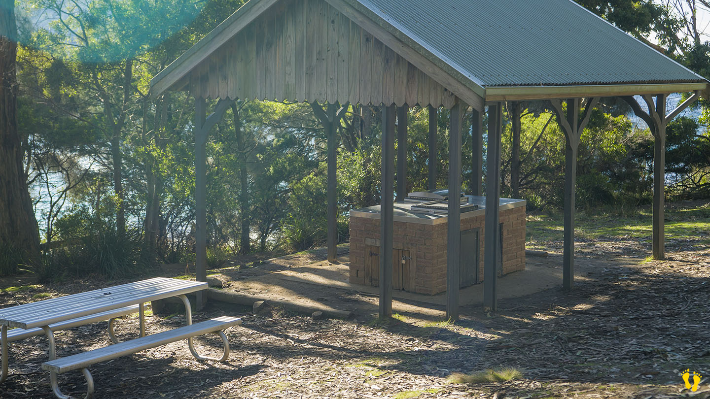
A great camping site ideal for kids that operates a no-booking, honesty box system. There are long-drop toilets, picnic tables and fireplaces. Campers must bring their own water and firewood but cooking is recommended on fuel stoves due to occasional fire bans. Camping is run by Parks and Wildlife Tasmania. Watch out for the headland cliffs which have no fencing. Lots of walking trails including a two-hour return walk to Lagoon beach.
You get to Lime Bay by taking Saltwater River Road at Premaydena and then Coal Mines Road, the last part is on a good dirt road. Many historic sites in the area date back to penal colony days and are worth a look. Lime Bay was named after the process of extracting lime from the remains of shellfish (oysters, abalone, mussels, cockles, etc.) from aboriginal middens in the area.
.
by Mickey Jarvis | May 7, 2024 | Low Hazard, South East, Tasman Peninsula
Near Port Arthur |
Hazard Rating: 1/10 | Parking: Roadside | from Hobart: 93 km | Faces: NE into Carnarvon Bay | Length: 150 km
Original Name: Turrakana, the homeland of the Pydairrerme (Tasman Peninsula’s Aboriginal people)
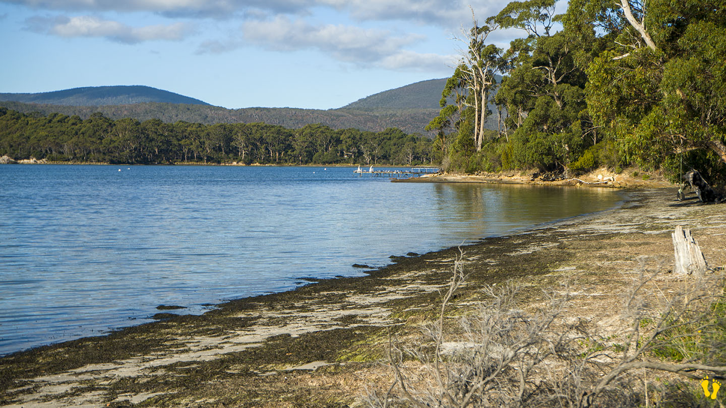
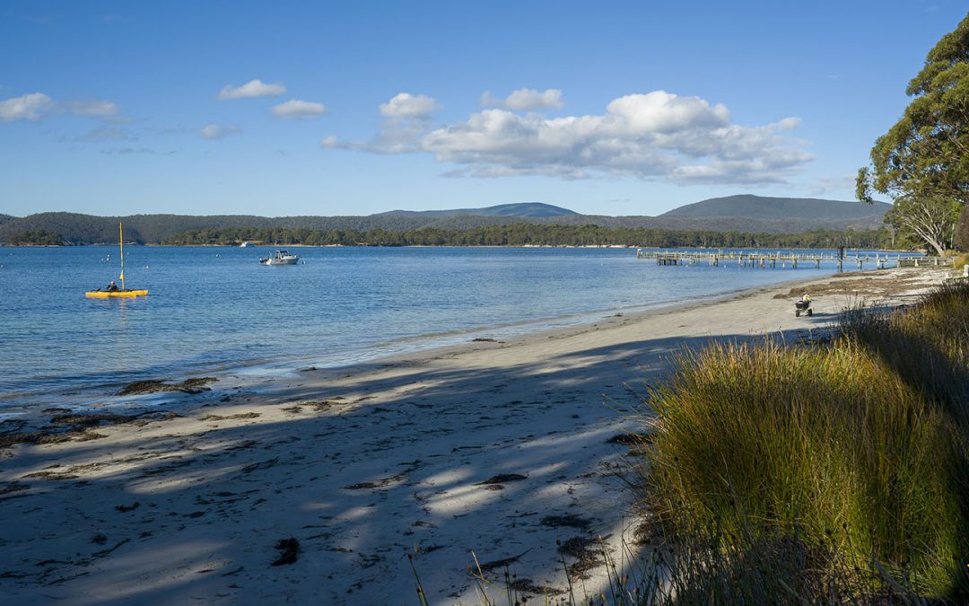
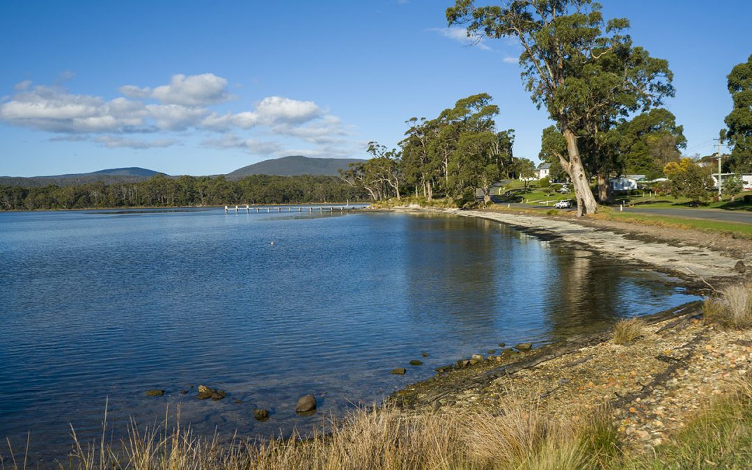
Little Possum Beach is about 2 km south of Port Arthur and the little cousin of Big Possum Beach a bit north. It is a beach but only just!
A small roadside beach ideal for a walk and paddle along the beach while enjoying the views. A classic old wooden jetty at the bottom end to wander onto and take in the whole experience of the bay and its surroundings.