by Mickey Jarvis | Feb 26, 2025 | Bay of Fires, East Coast, St Helens
Near: Bay of Fires & St Helens | from Hobart: 250 km | Launceston: 175 km
Hazard Rating: 5/10 | Parking: Good + close | Faces: NE into Tasman Sea | Length: 1.6 km
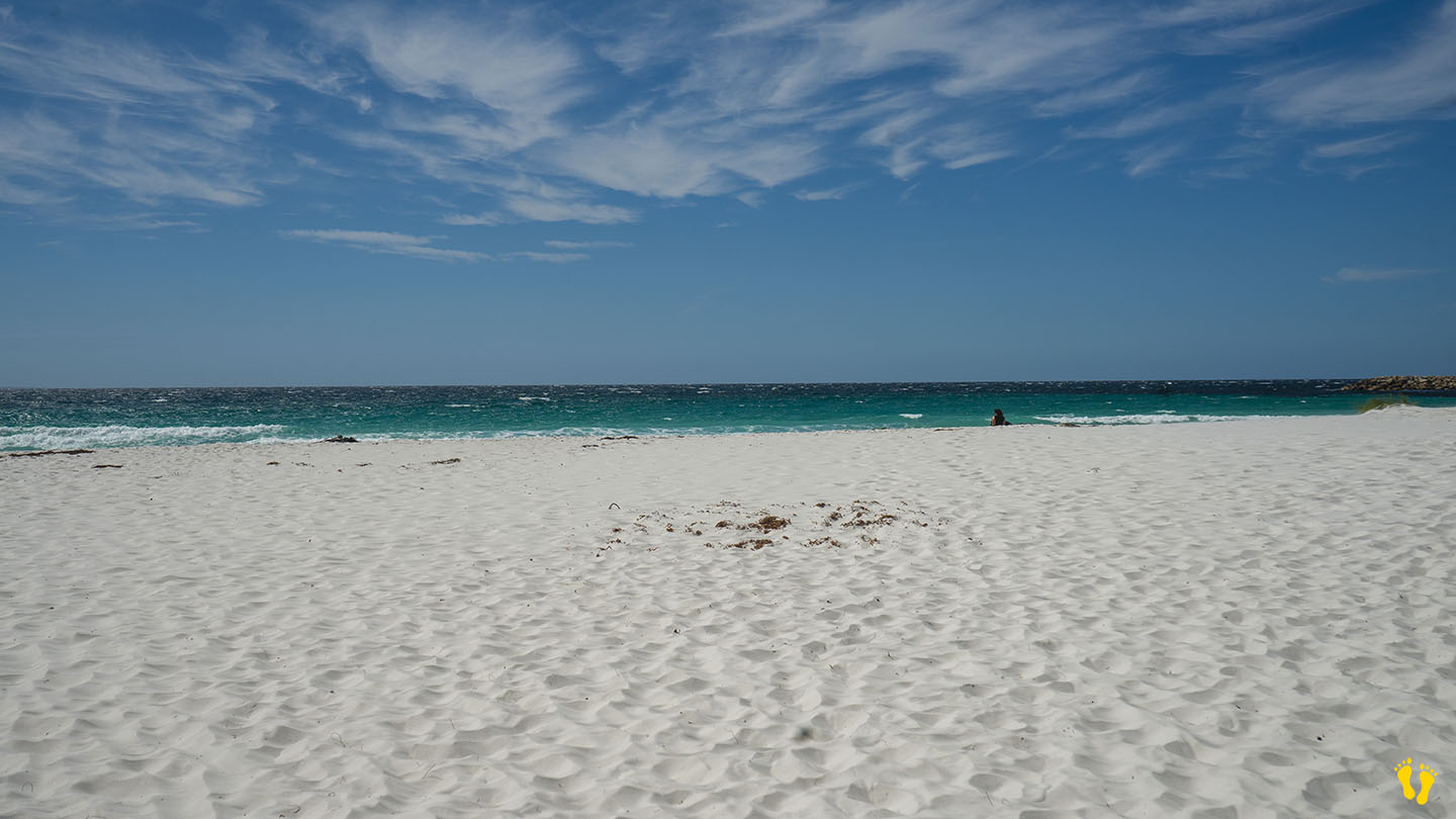
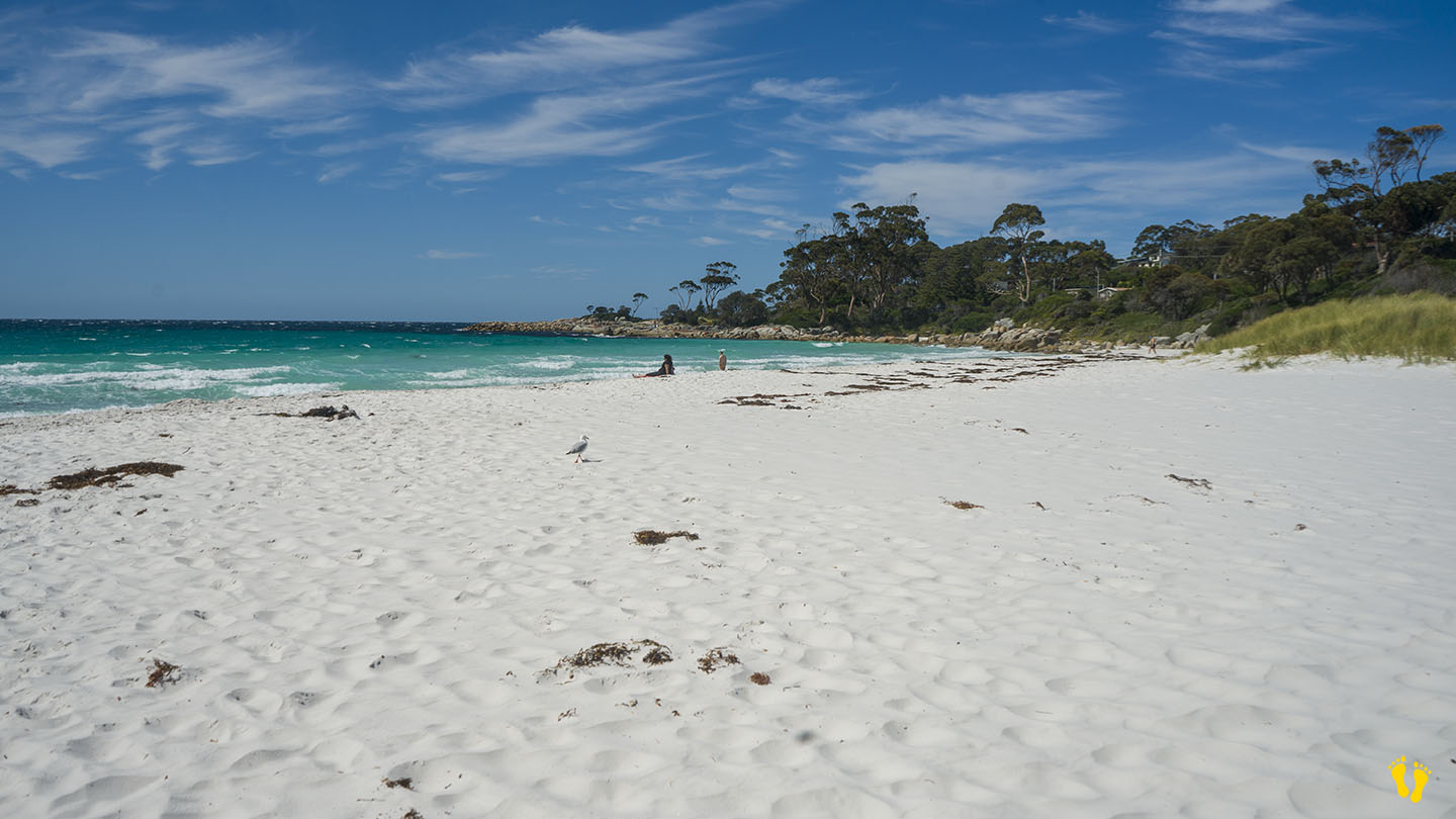
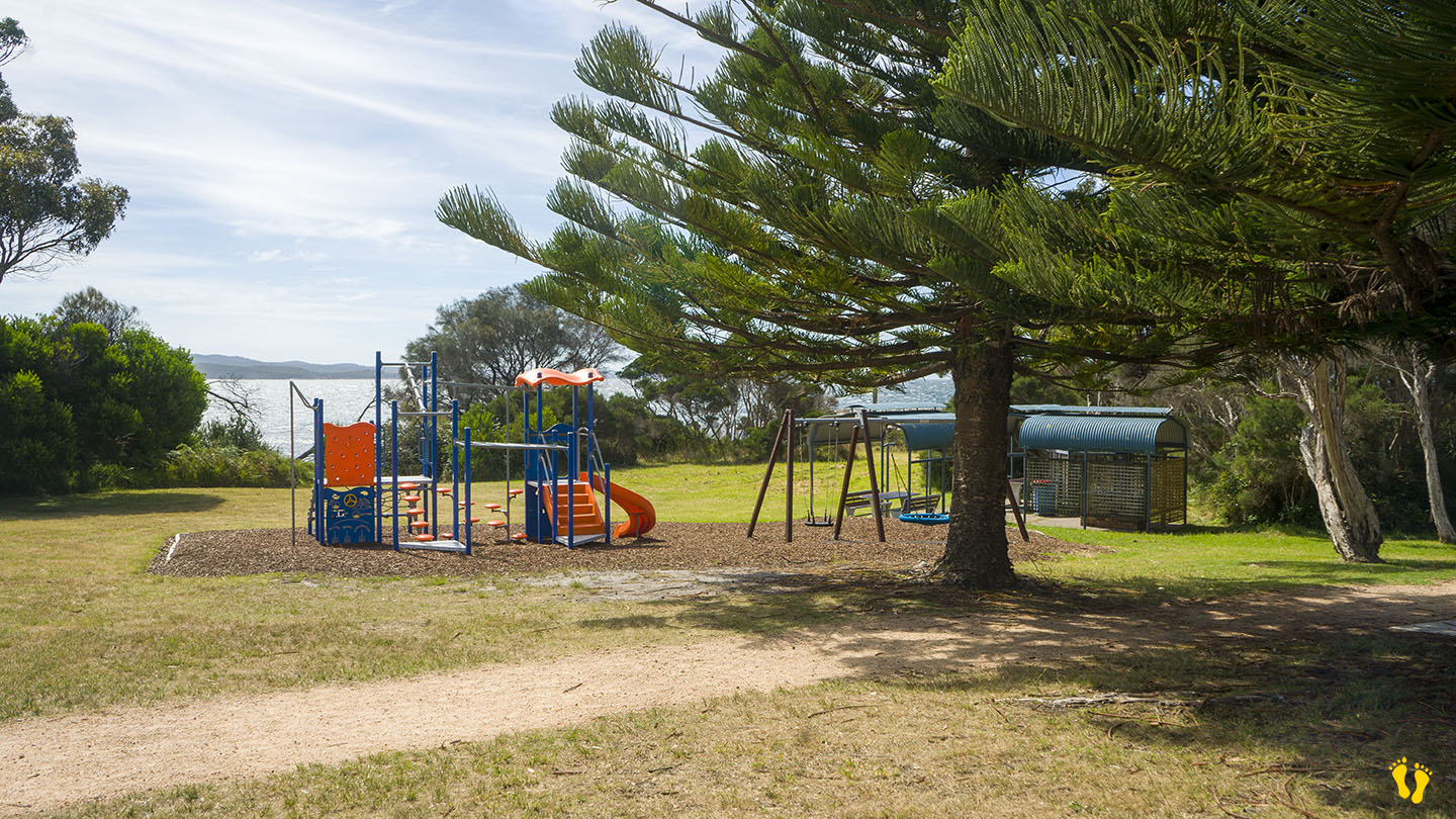
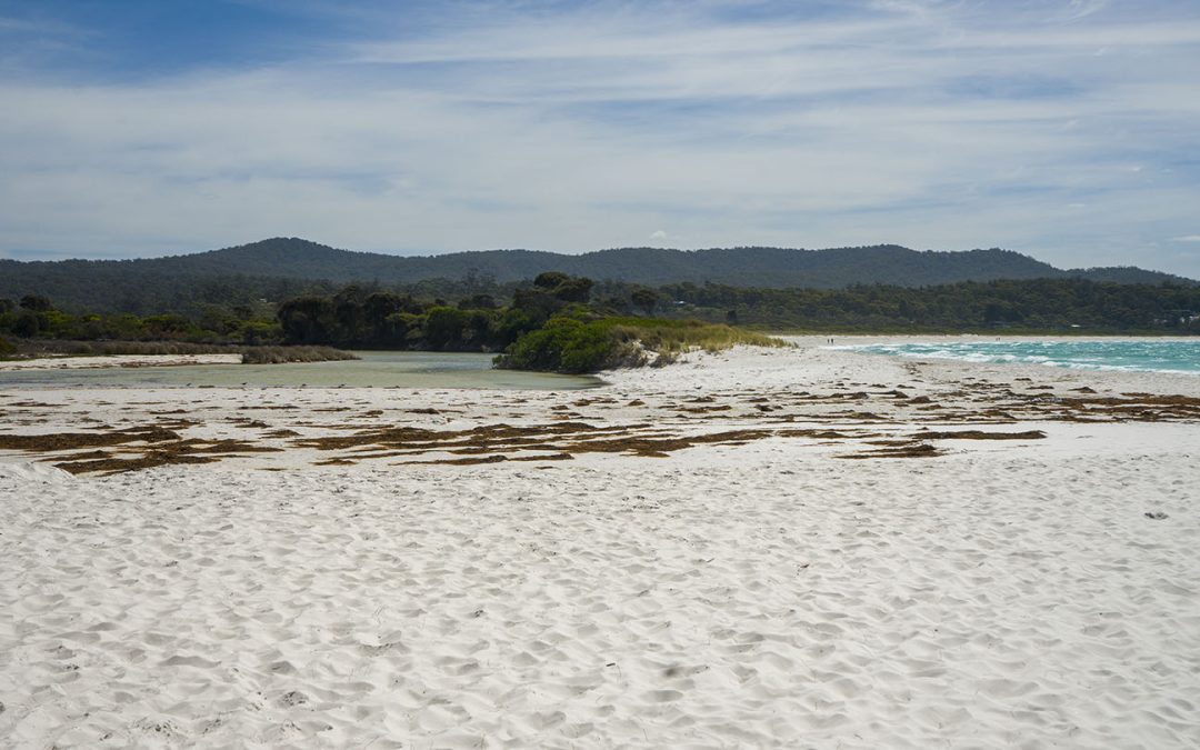
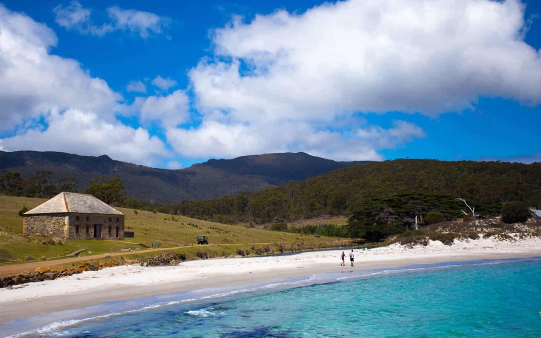
Binalong Bay Beach is in Binalong Bay and part of the Bay of Fires. Clear blue water and pristine white sand make this an ideal beach for a swim or walk with rocks to the east for a picnic or snorkel. Sometimes has small surf and rips. Good fishing from the beach.
There are two toilet blocks, a small playground, a BBQ area and a tennis court. Main access and parking is on the south end – with limited access and parking at the north end off Lyall Road. A boat ramp at Skeleton Bay just east of the beach.
Grants Lagoon, which backs the beach (usually closed to the sea) has camping sites.
by Mickey Jarvis | Mar 2, 2025 | East Coast, Low Hazard, St Helens
Near: St Helens | from Hobart: 250 km | Launceston: 175 km
Hazard Rating: 1/10 | Parking: Good | Faces: into Burns Bay | Length: 100 m
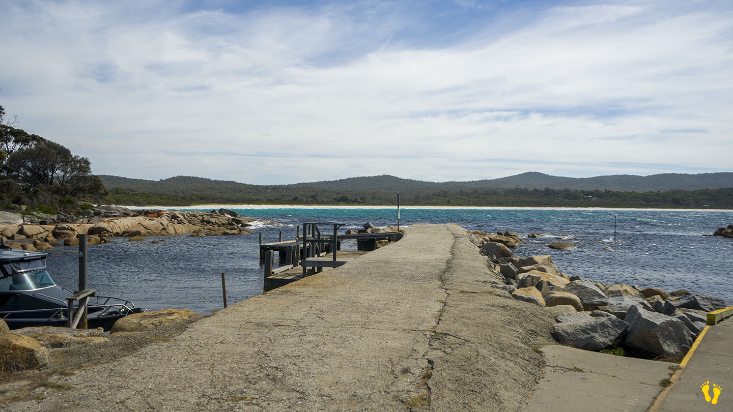
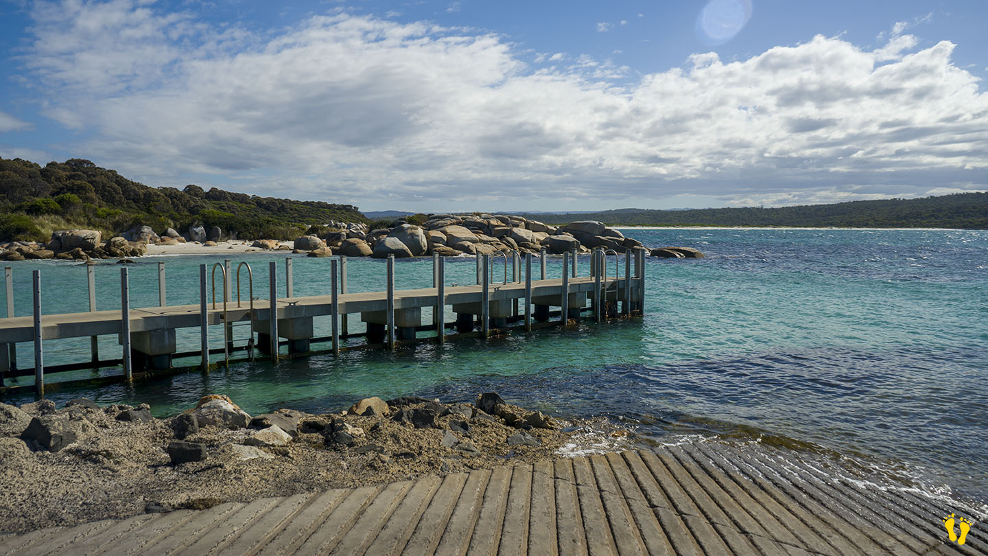
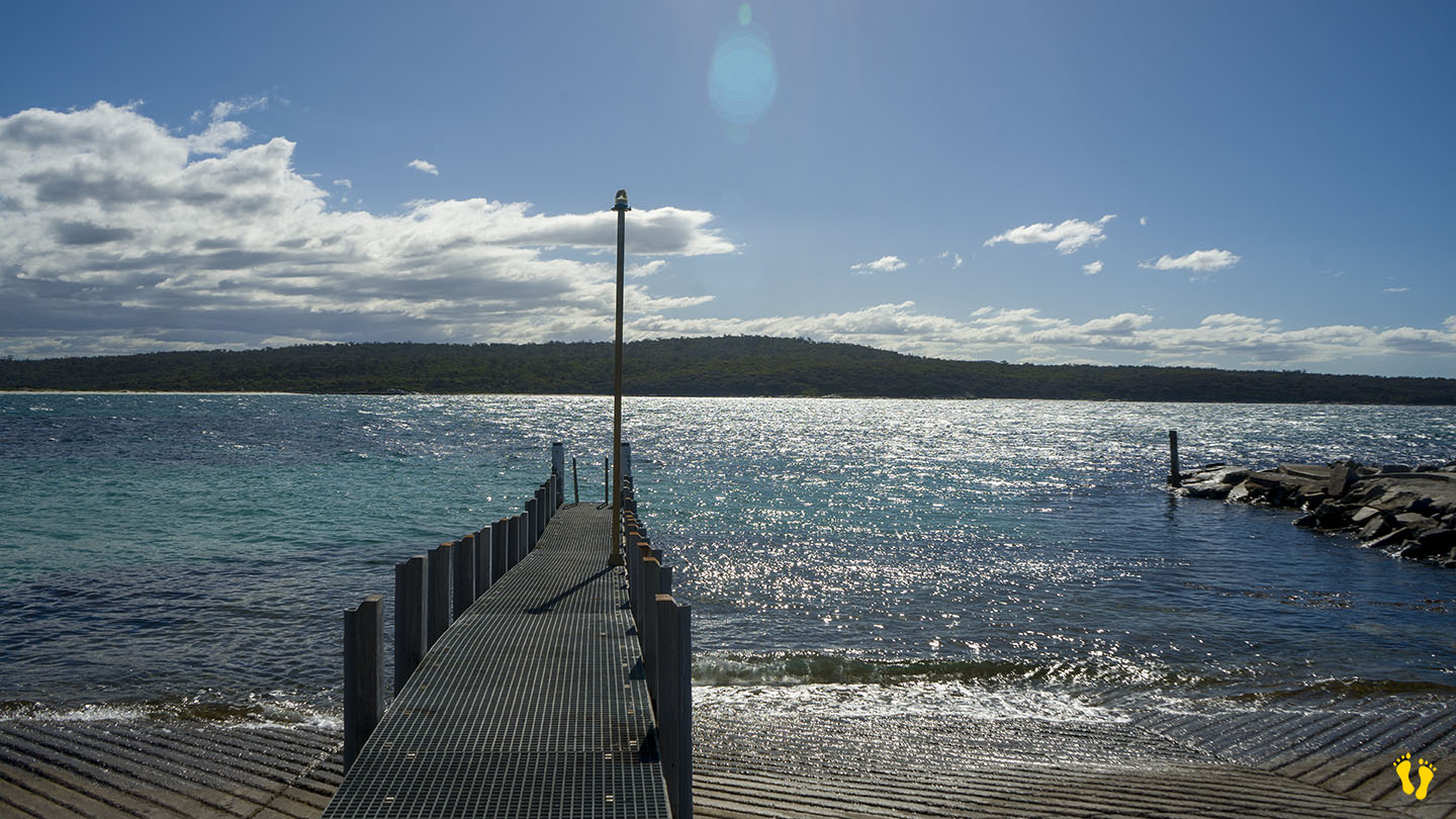
Burns Bay is a beach and boat ramp located at the end of St Helens Point Road on the peninsula NE of St Helens.
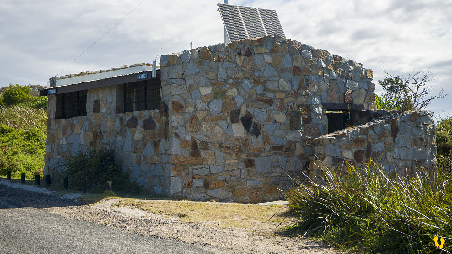
Located in a small protected bay, great for a swim or snorkel. A popular boat ramp with an interesting rock-built toilet block.
Named after a resident, Robby Burns.
Ignore some of the Google Maps markers as they are wrong – e.g., Beer Barrel Beach.
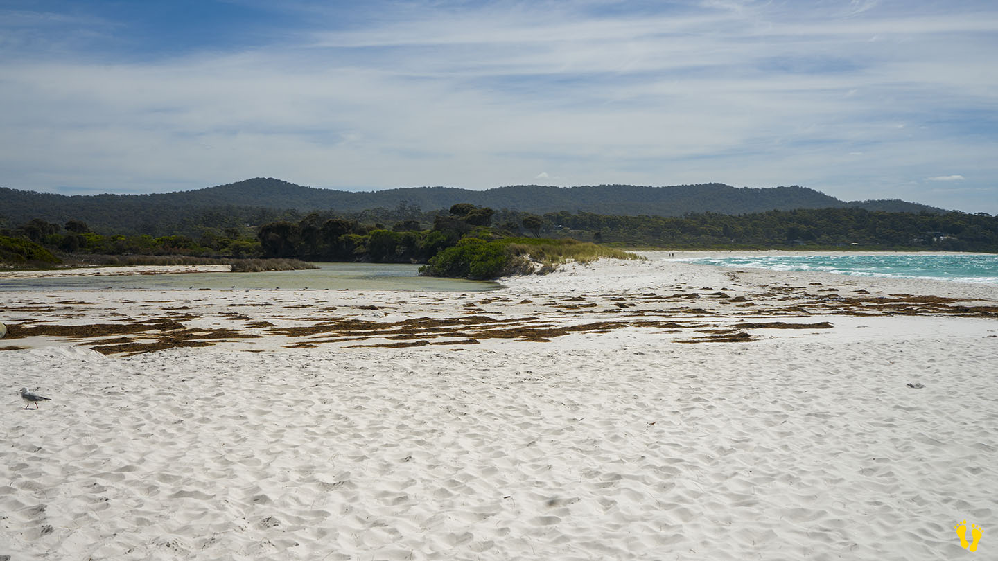
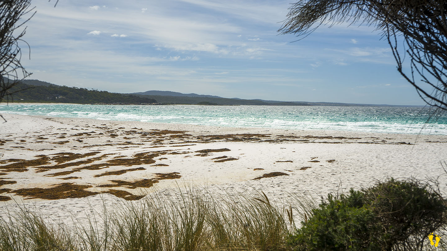
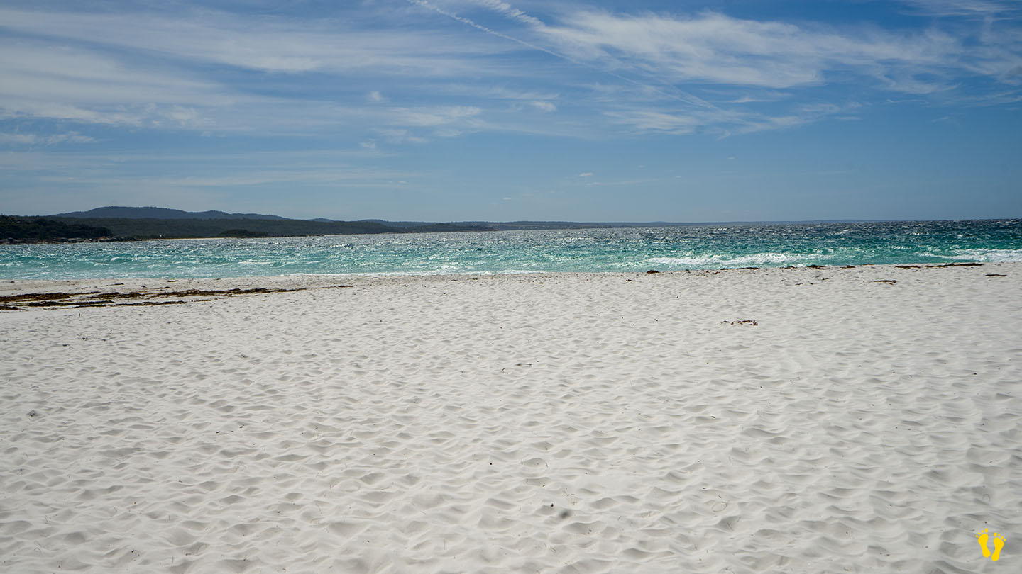
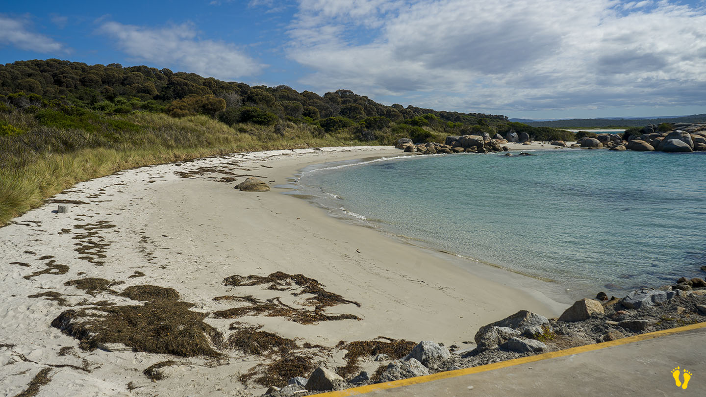
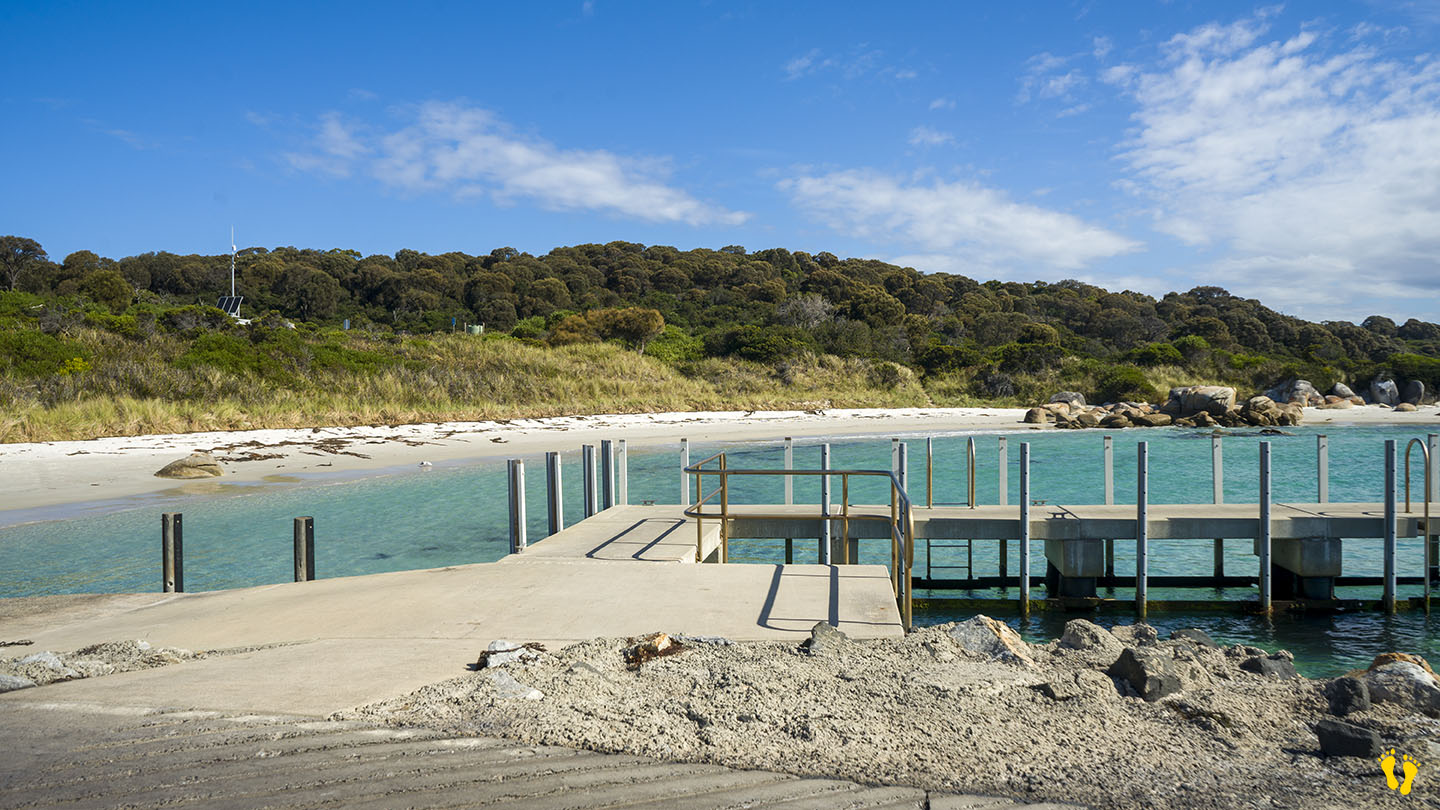
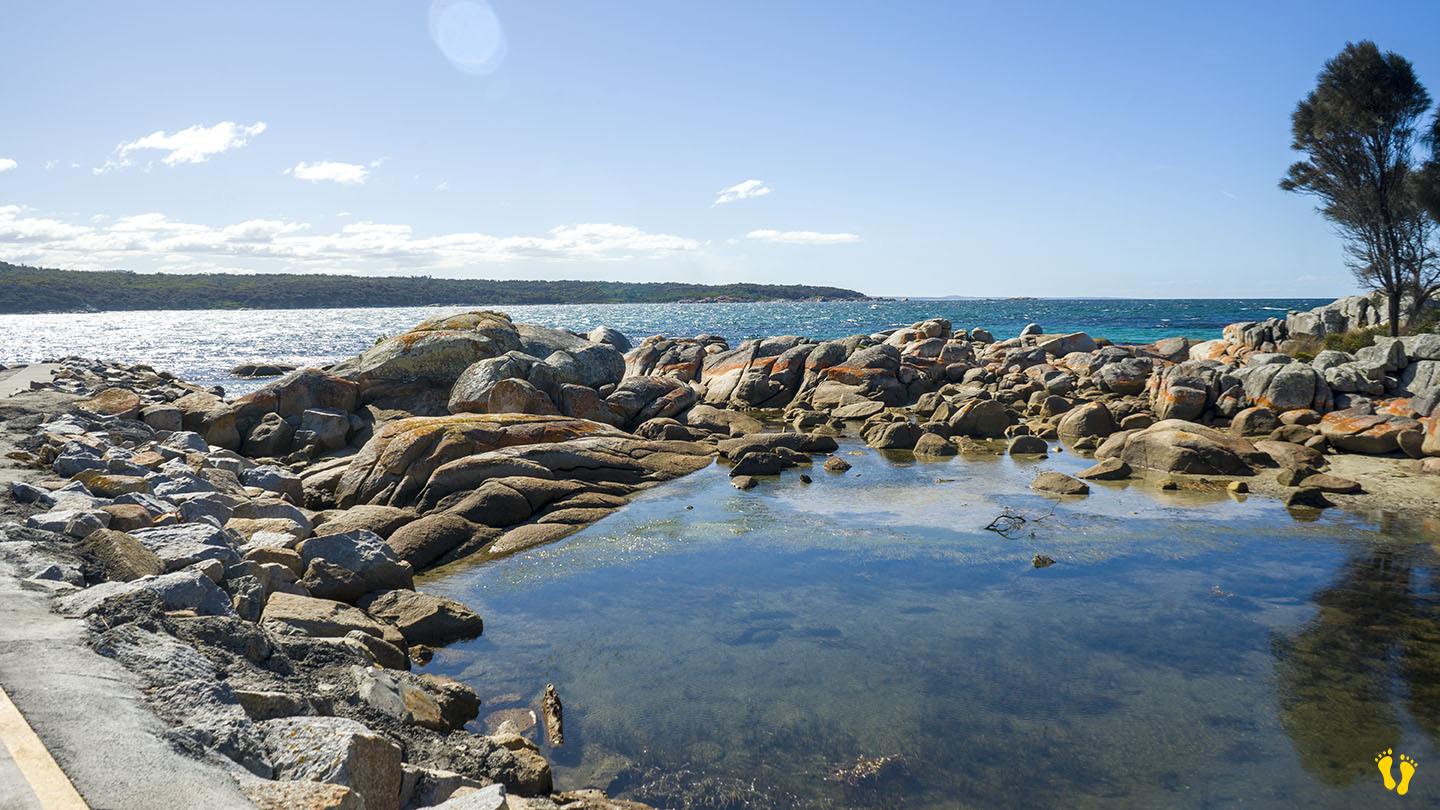
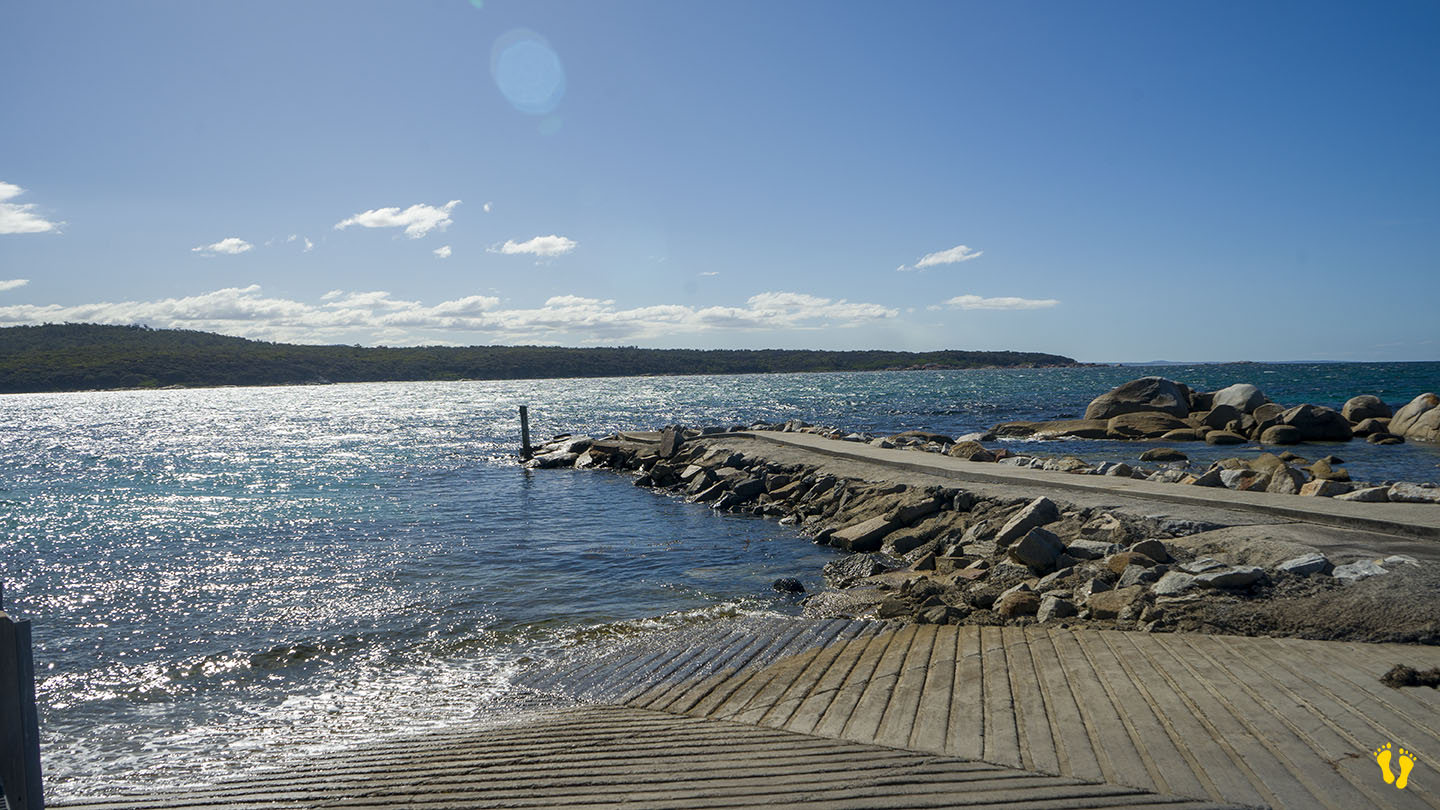
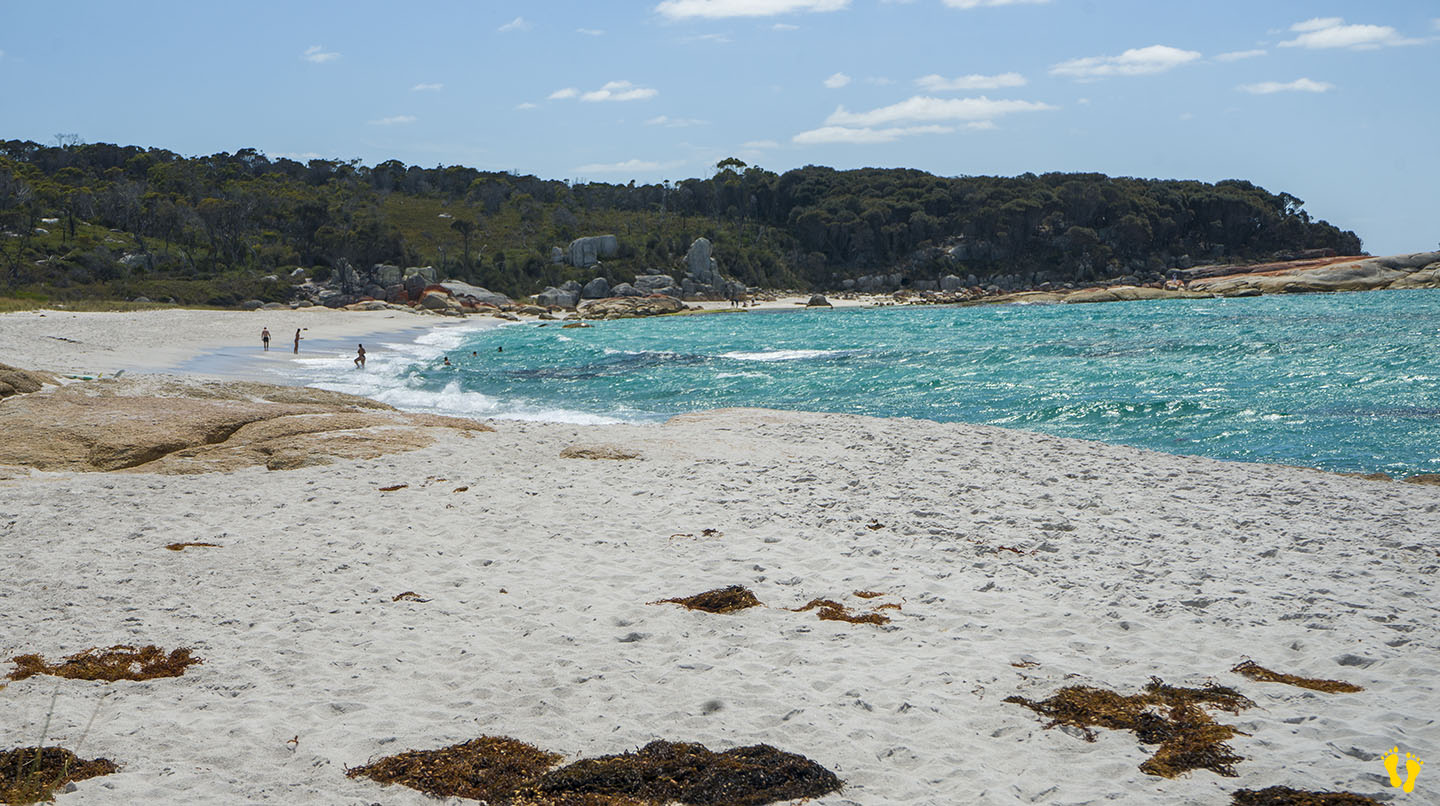
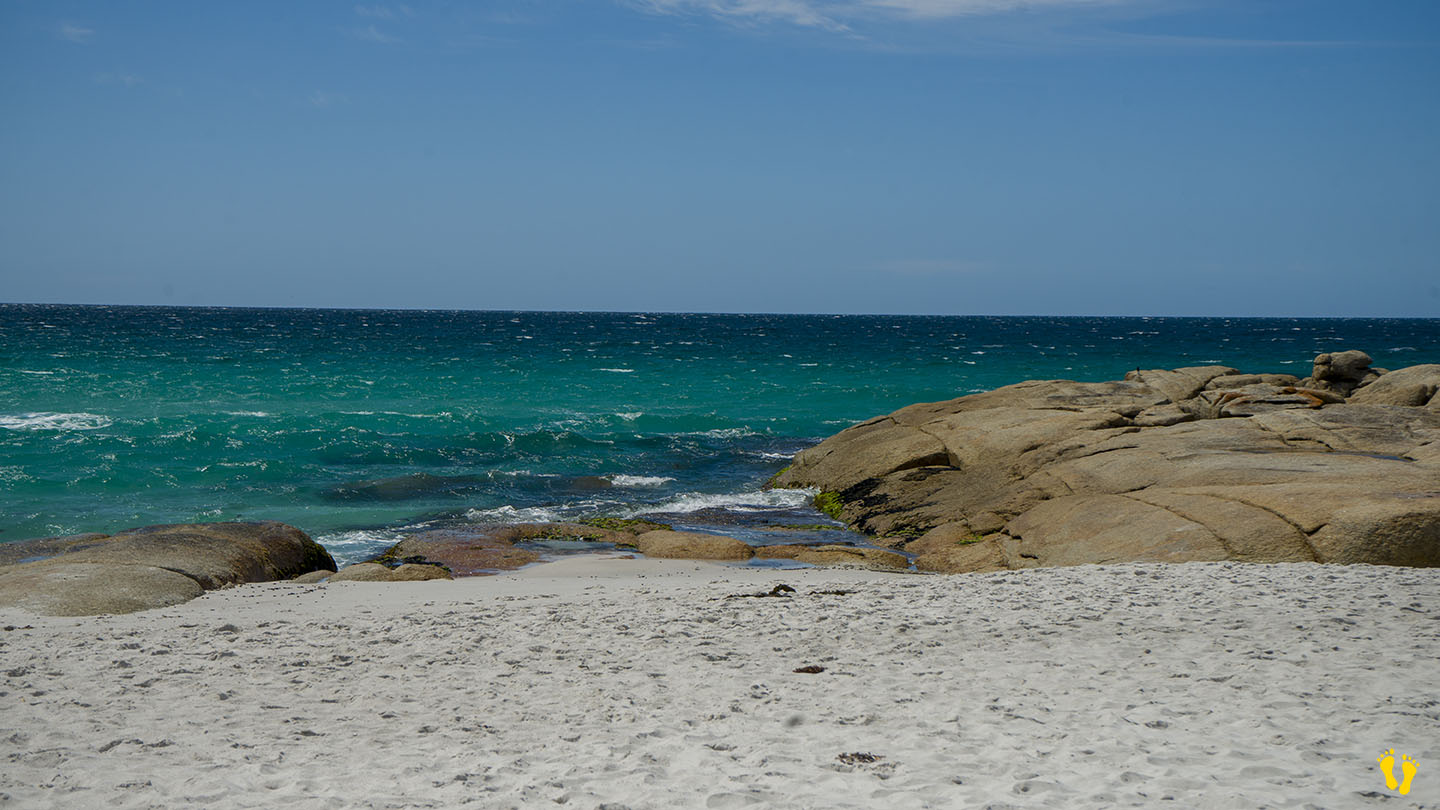
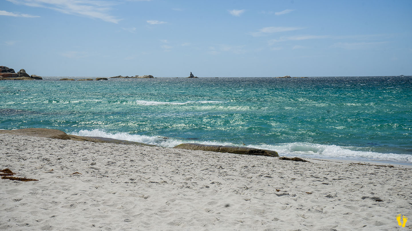
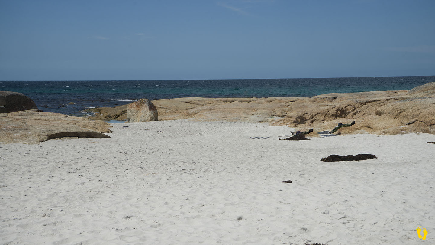
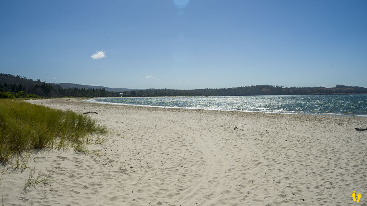
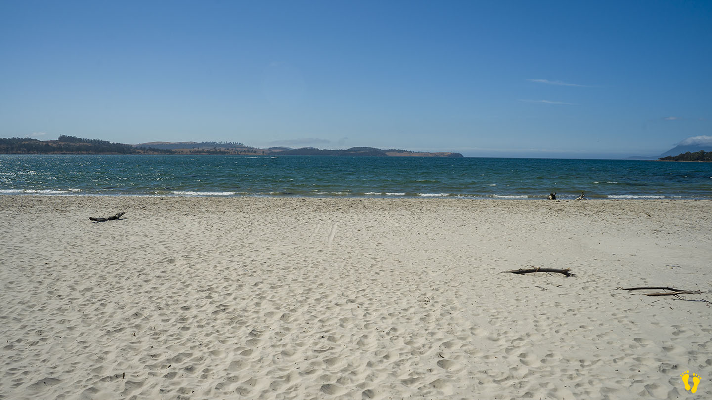
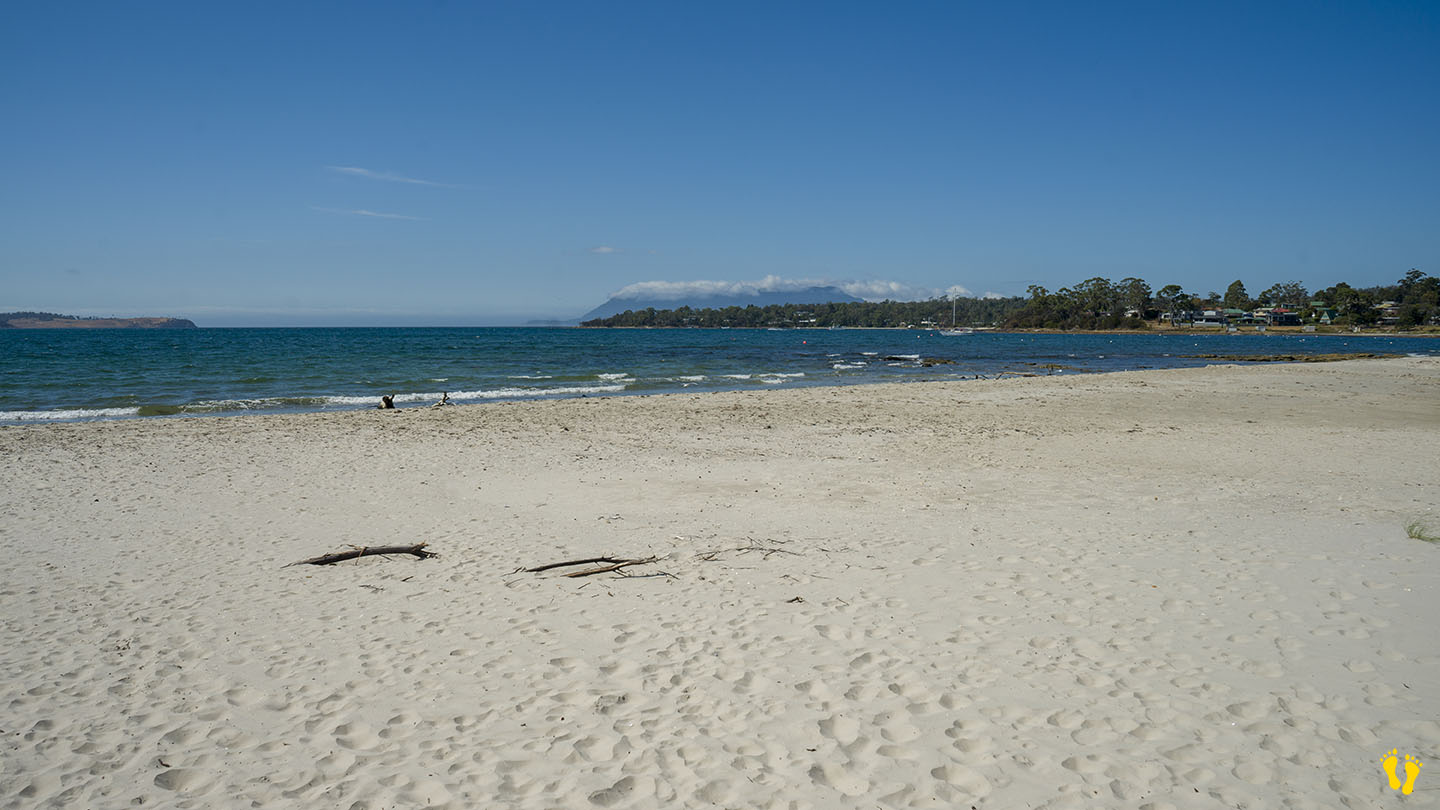
by Mickey Jarvis | Feb 24, 2025 | Bay of Fires, East Coast
Near: Bay of Fires & St Helens| Hazard Rating: 4/10 | Parking: Good | Faces: East Iinto Tasman Sea | Length: 400 m
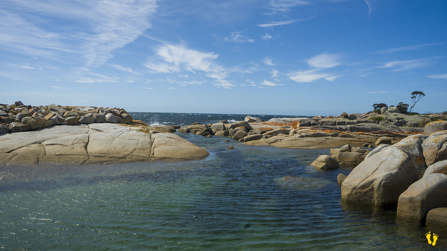
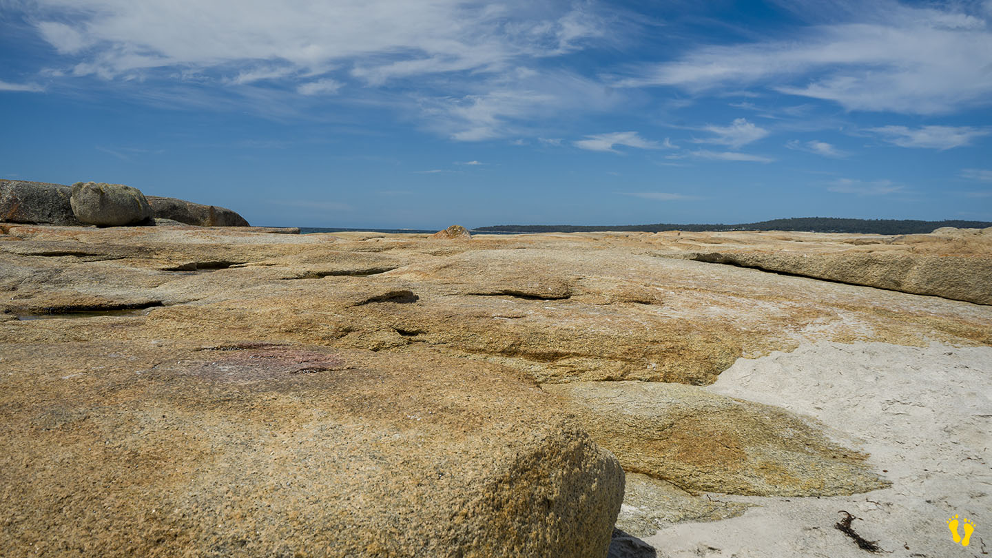
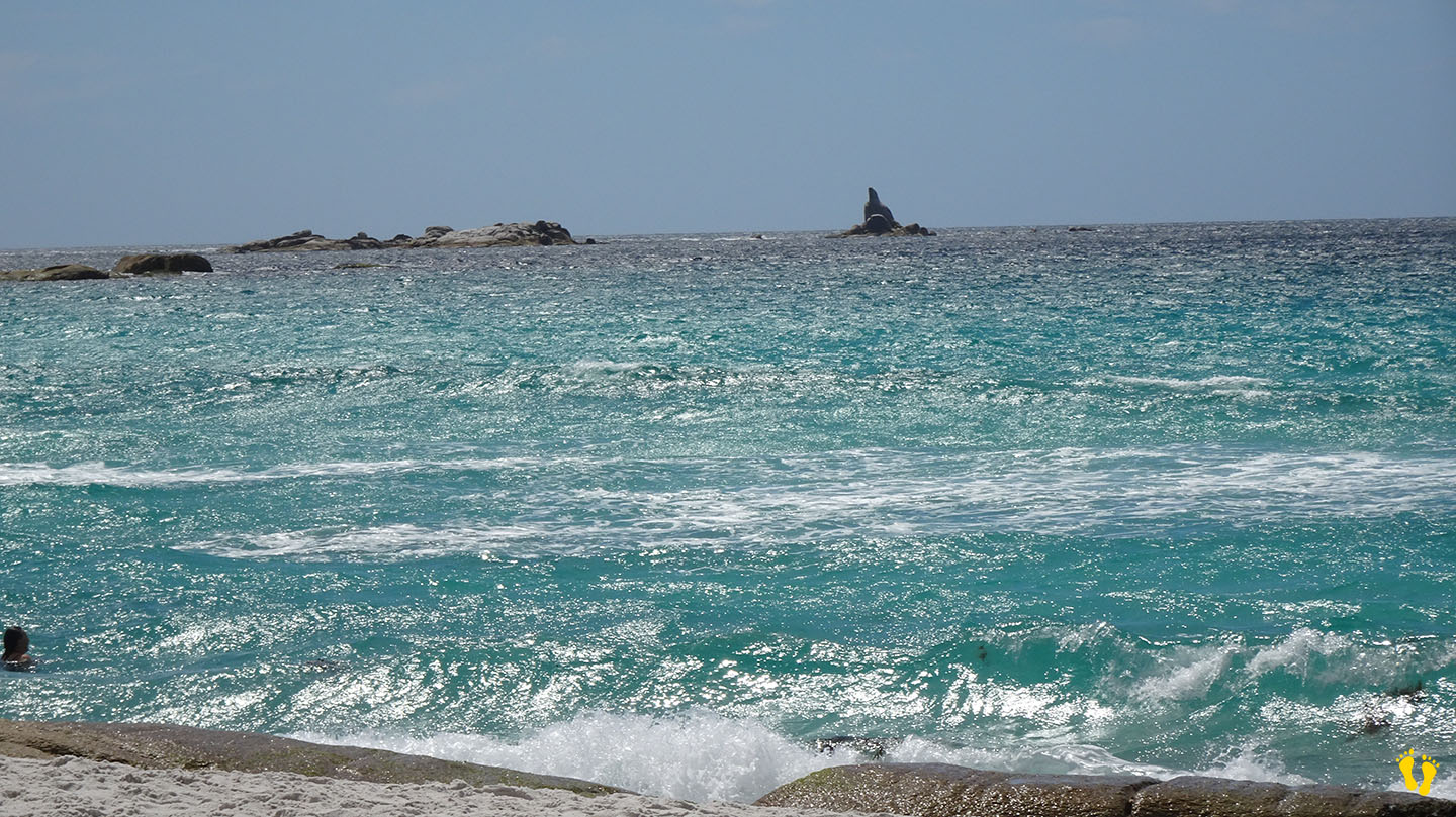
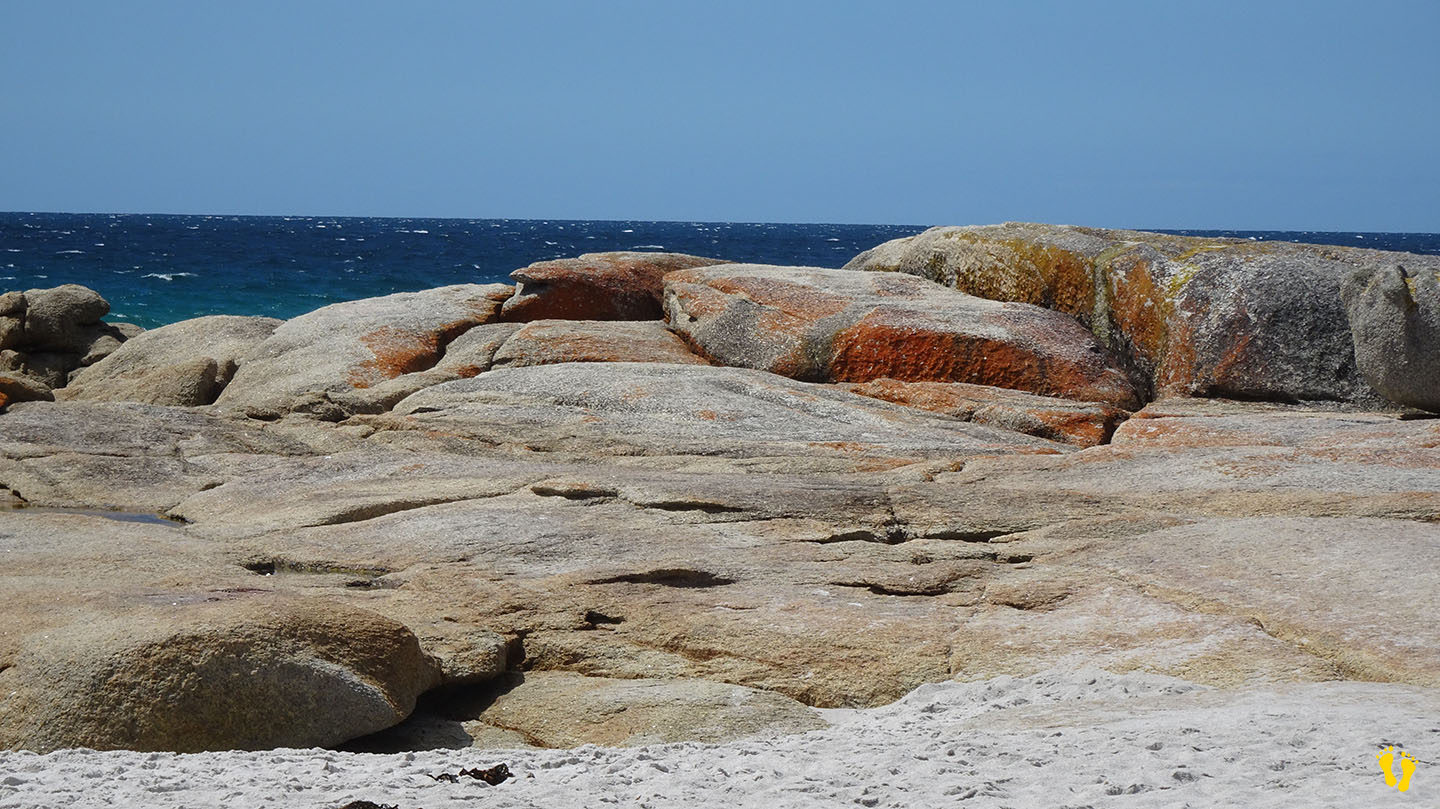
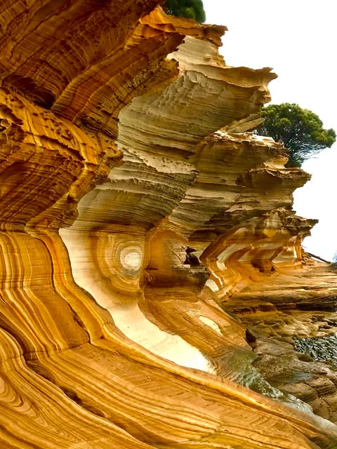
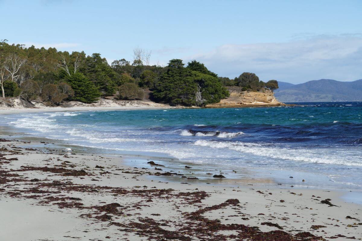
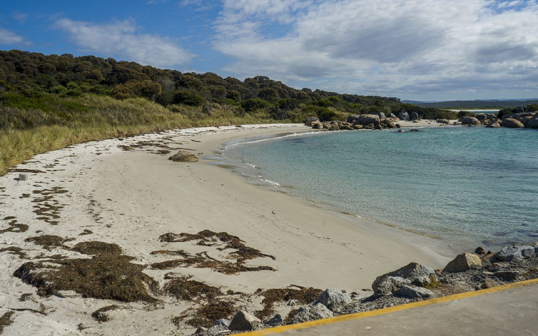
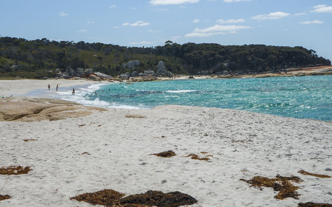
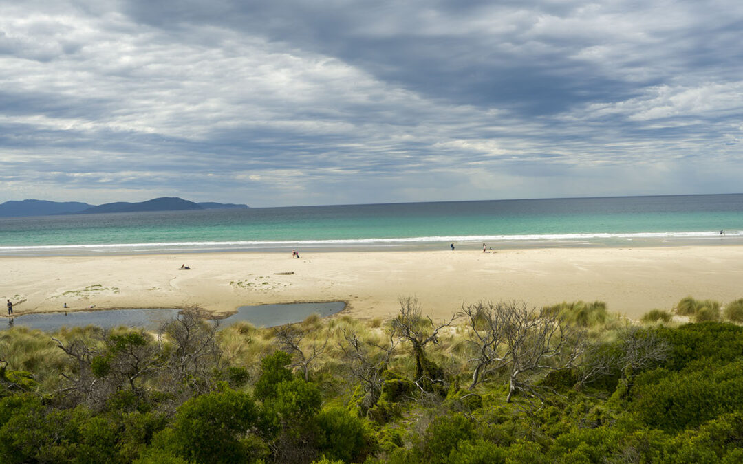
Cosy Corner is a small but spectacular beach north of St Helens and Binalong Bay, part of the Bay of Fires.
Pure white sand, beautiful crystal clear blue water and stunning rock formations often covered in a bright orange lichen.
A popular beach for camping, swimming, snorkeling and surf fishing. The beach sometimes has small surf with the occasional possibility of better waves. The beach can be potentially dangerous to swim at, so as usual, match your family’s swimming ability with the conditions.
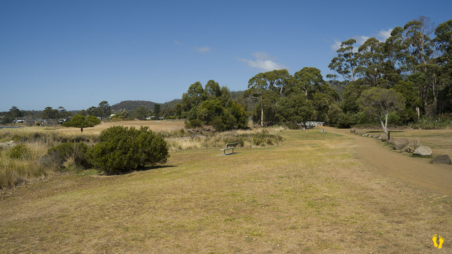
There are great campsites for every type of vehicle – camper, caravan, motor home, tent etc… many sites are right on the beach. Camping is free with a maximum stay of 28 days. No water is available and fires are banned. The site is managed by Parks and Wildlife Service Tasmania.
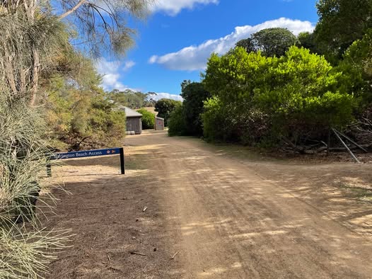
Basic toilets including some wheelchair access. Entry is from two roads off Gardens Road referred to as North and South Cosy Corner.
by Mickey Jarvis | Mar 7, 2026 | East Coast
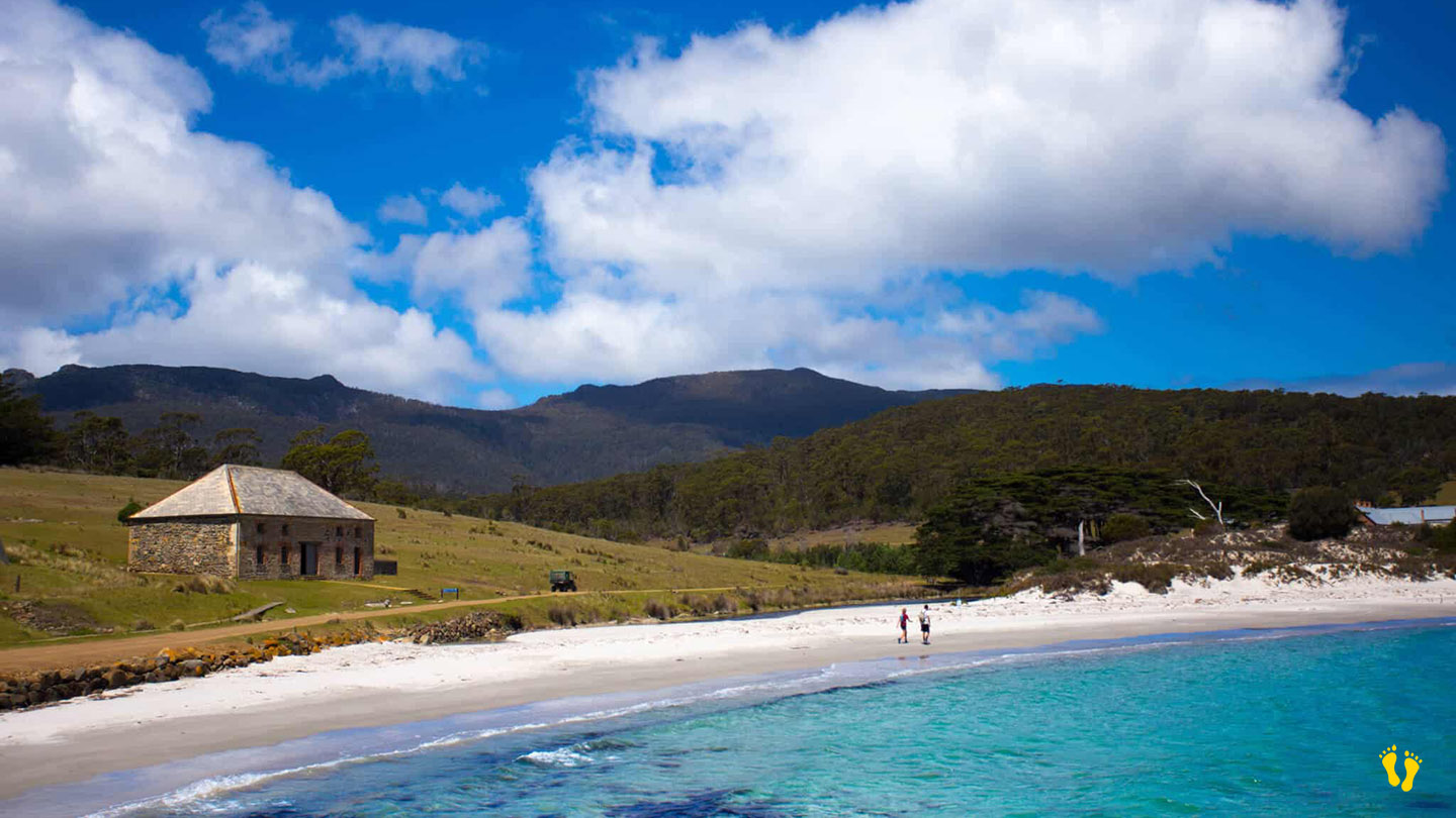
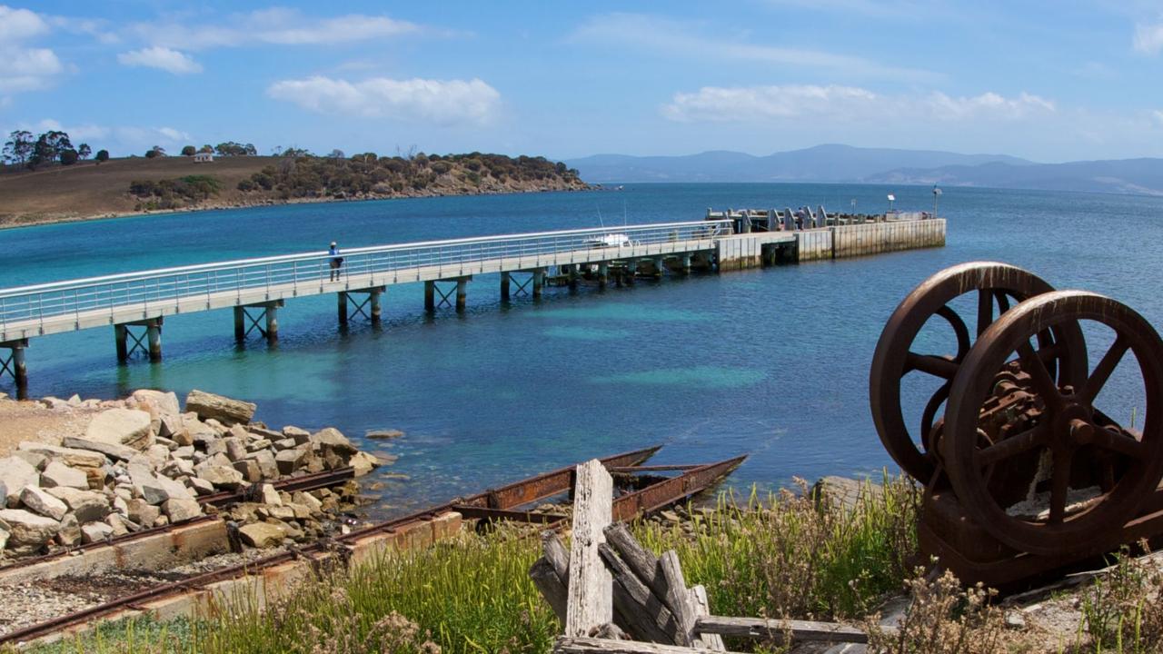
Maria Island is accessed by ferry from Triabunna. The ferry lands at Hopground Beach on the northern end of Maria Island.
A picturesque beach with white sand and views of Mt Bishop & Clerk. The beach was named after the hop fields cultivated there during the first convict settlement period in the early 19th century.
A place of great beauty with no hotels, shops, or internet access. The whole of Maria Island is steeped in history and remains largely unchanged. Interesting bird life and fauna exist all over the island.
Not far from the jetty is penitentiary accommodation and a campground. Basic bunk accommodation is available in the old penitentiary at Darlington, as well as free camping at several sites around the island.
Maria Island has a long and rich history, going back well before the colonial era. Remnants from the Aboriginal people of the Tyreddeme clan of the Oyster Bay tribe can still be seen today. In 1642, the island was named by Dutch explorer Abel Tasman after Maria van Diemen (née van Aelst), wife of Anthony van Diemen, the Governor-General of the Dutch East Indies in Batavia.
by Mickey Jarvis | Mar 18, 2023 | East Coast, Surf
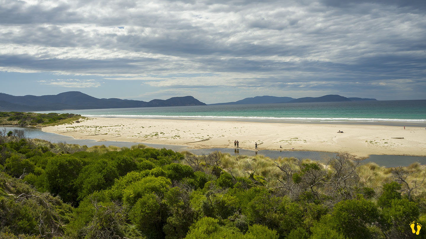
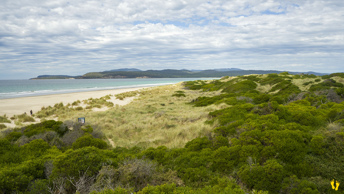
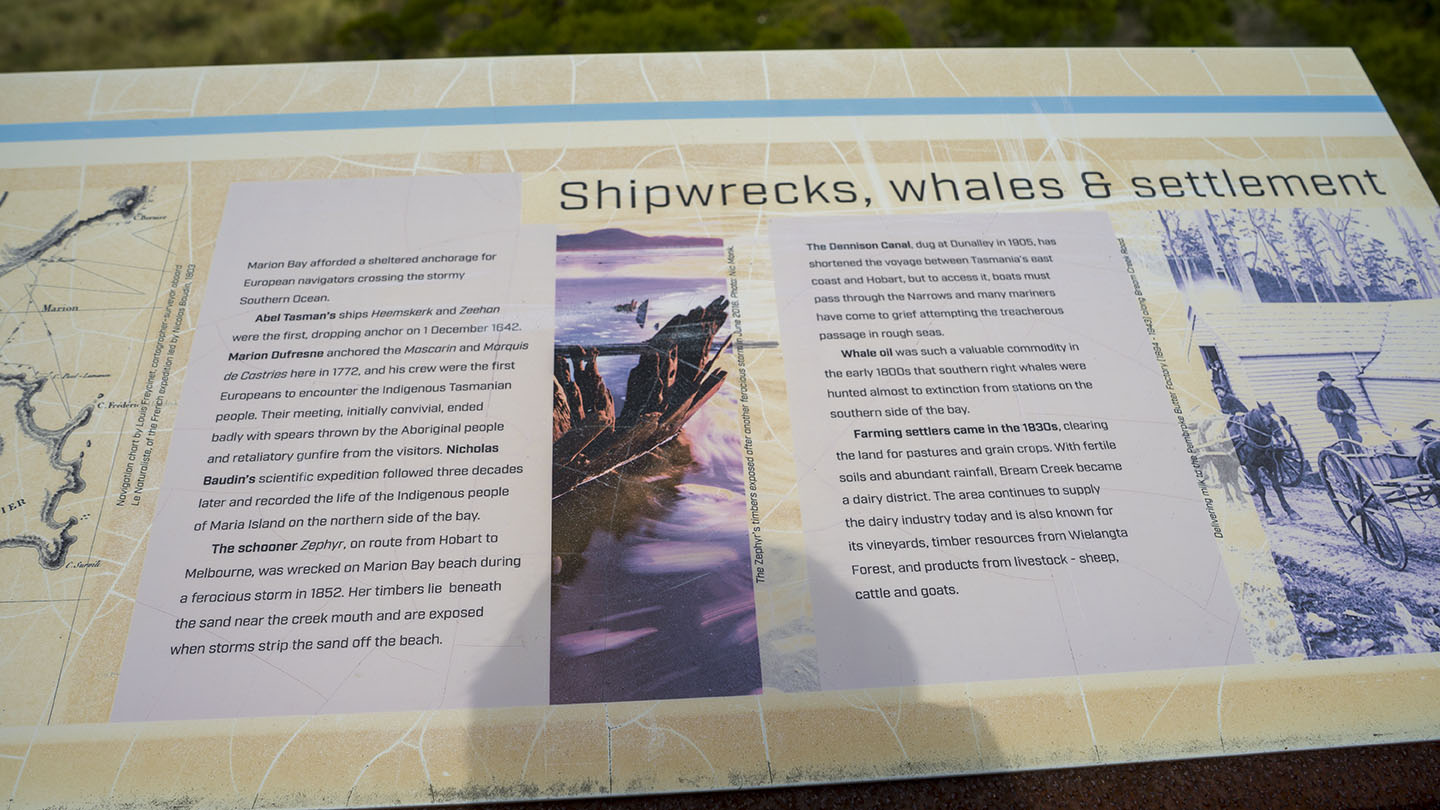
Marion Bay past Sorell |
Hazard Rating: 5/10 | Parking: OK | from Hobart: 52 km | Length: 8 km | Faces: East into Marion Bay / Tasman Sea
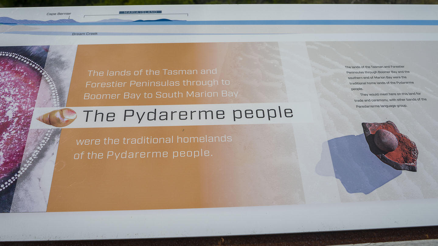
Original People: Pydarerme / Paredarerme
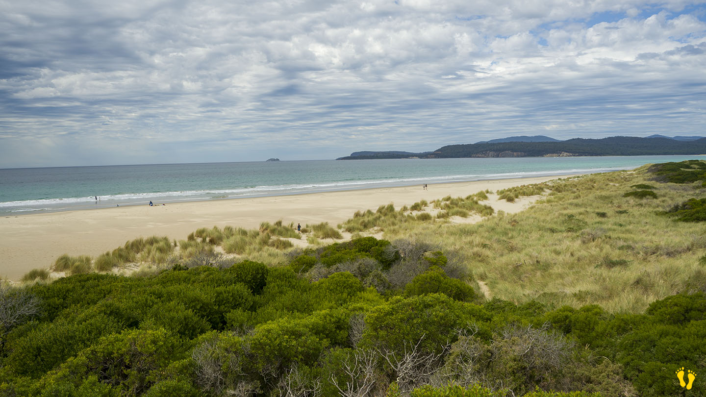
A long secluded beach in a beautiful area on the east coast of Tasmania.
The beach is accessed via Marion Bay Road. Access to the beach is a 100 – 200 m walk from the car park. Basic amenities include toilets.
The north end has 5 more beaches – Woody, Eagles, Shelly, Pine Creek and Bluff beaches – all have limited access mainly from tracks.
Bream Creek is parallel to the beach, which sometimes joins up with the sea. Fishing is good from the beach or creek behind.
Named after a French explorer Marion du Fresne, a ship captain who explored in 1772. Views of Maria Island to the northeast and a small island called Visscher Island to the southeast.
The beach sometimes has minor surf but a well-known surf break on the southern end called ‘Boneyard’ is considered one of Australia’s best right-handers when working.
by Mickey Jarvis | Mar 10, 2024 | East Coast
Orford on the East Coast |
Hazard Rating: 2-3/10 | Parking: Good + close | from Hobart: 80 km | Faces: East into Prosser Bay | Length: 1km
Milligtons Beach is on the south side of the bridge in Orford and is effectively a continuation of Raspins\Orford Beach after you cross the Prosser Rivermouth.
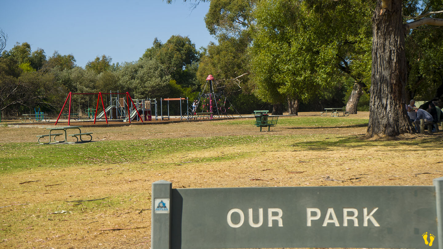
A quiet, somewhat unknown beach to visit with a park called ‘Our Park‘ close to the beach with toilets and BBQs.
You can access the beach via the playground or further south via Rudd Avenue.
Named after Harold Millington, who built a house near the beach in 1925 – currently available for overnight stays at Millingtons House.