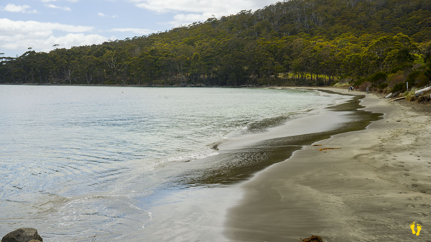
Bruny Island | Hazard Rating: 2-3/10 | Parking: Good + close | Faces: North-ish into Adventure Bay | Length: 400m
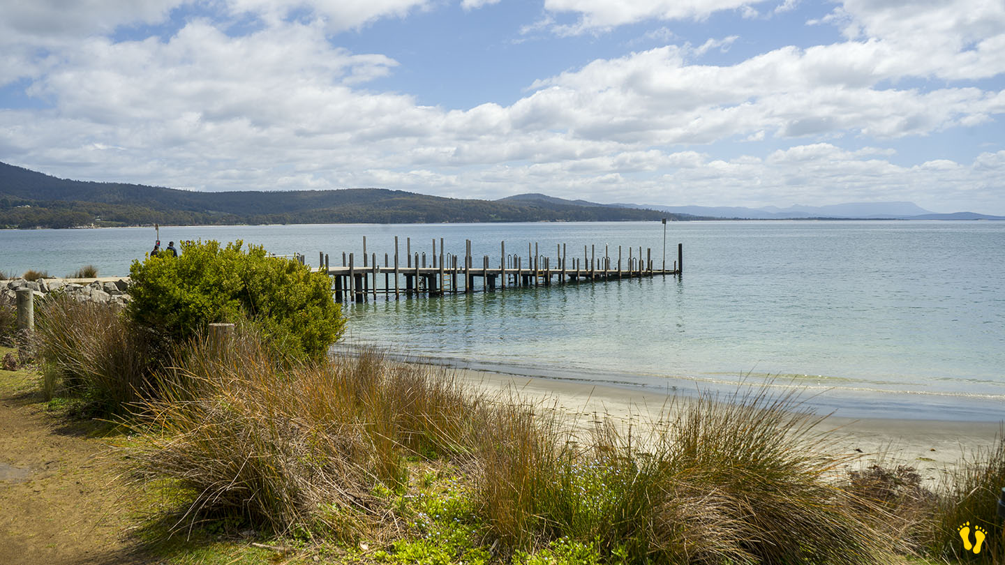
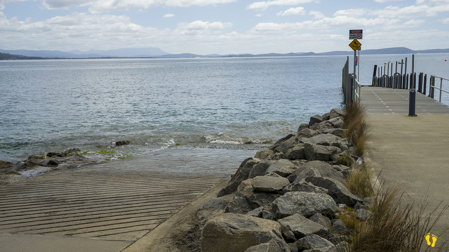
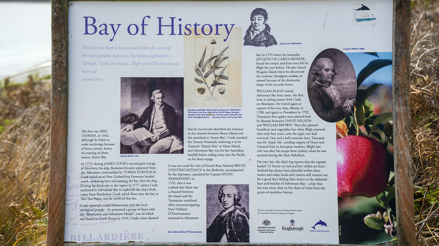
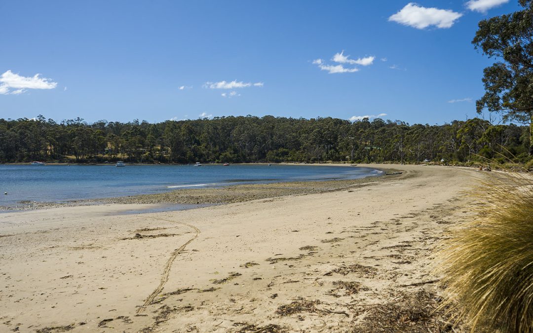
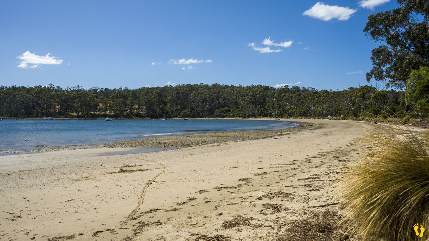
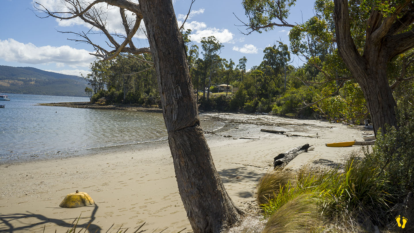
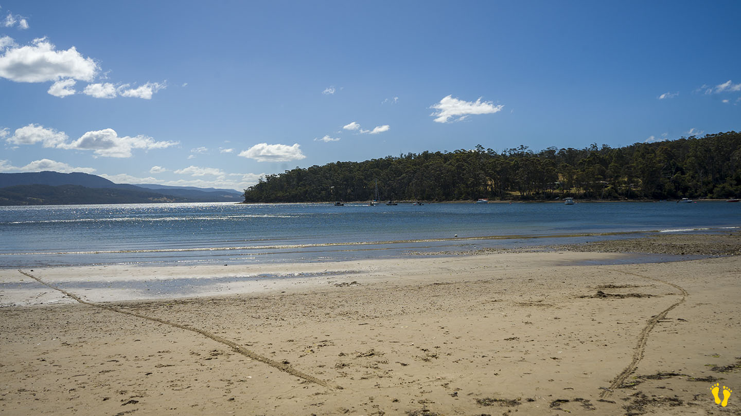
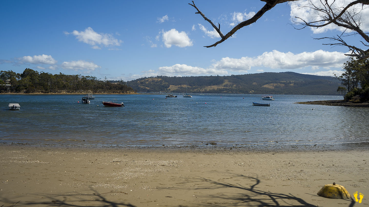
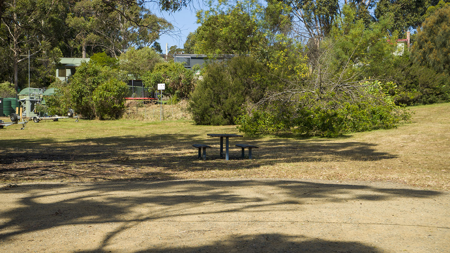
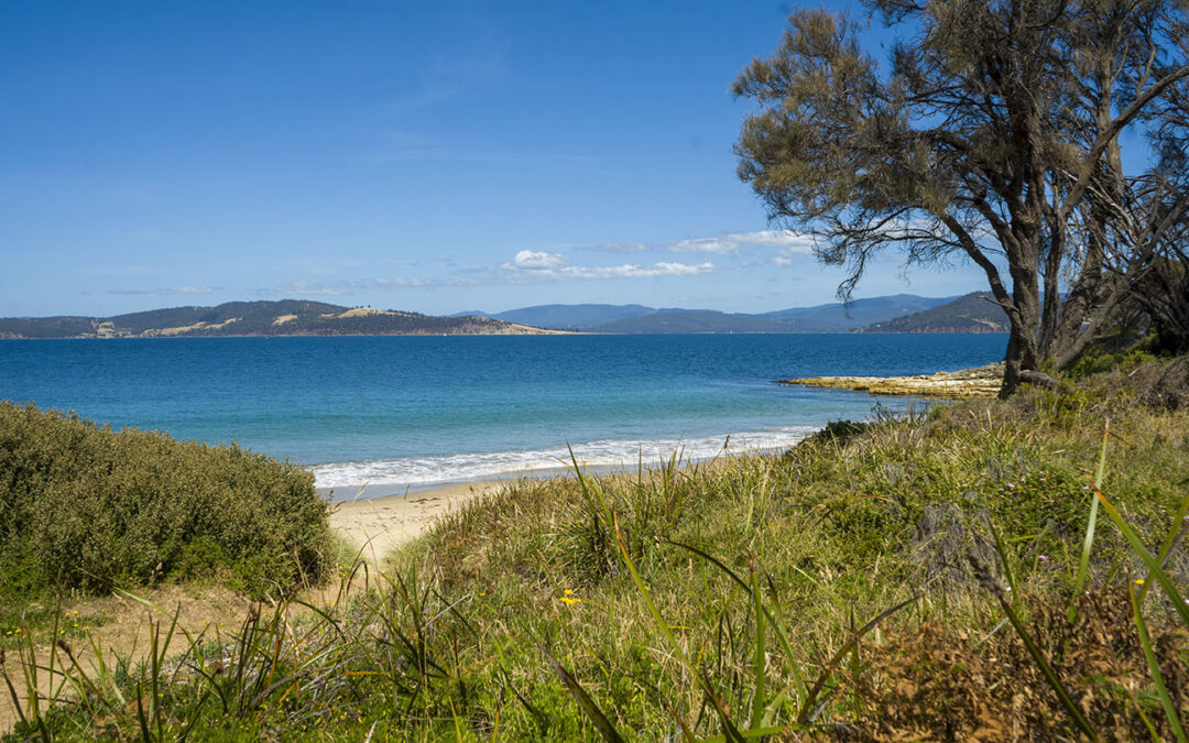
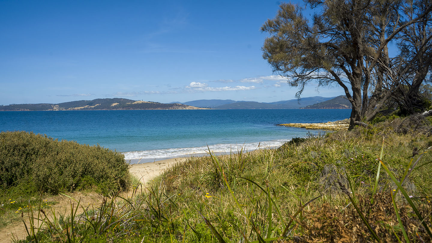
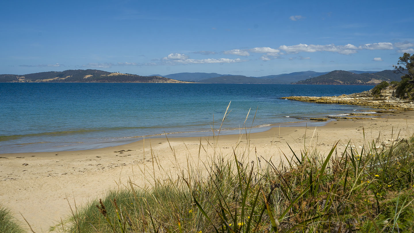
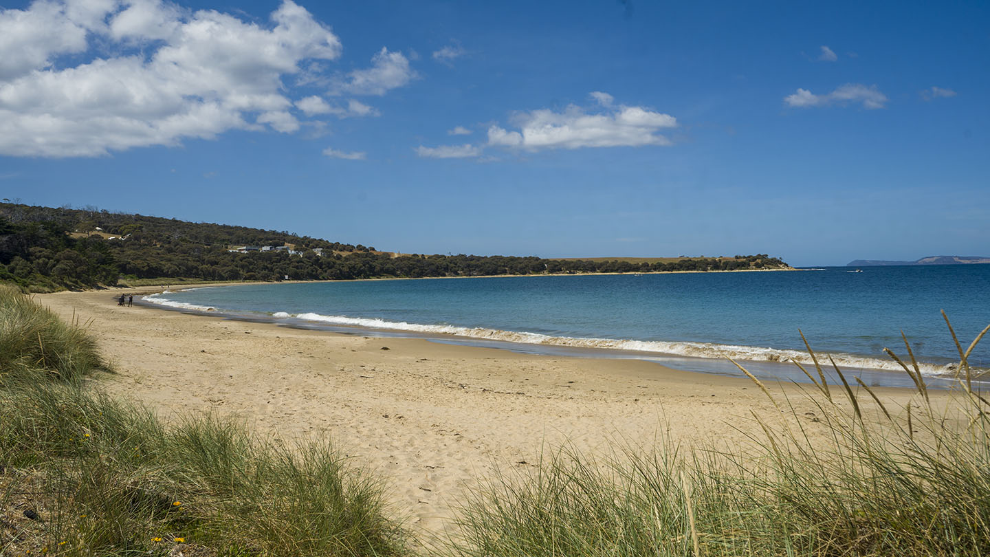
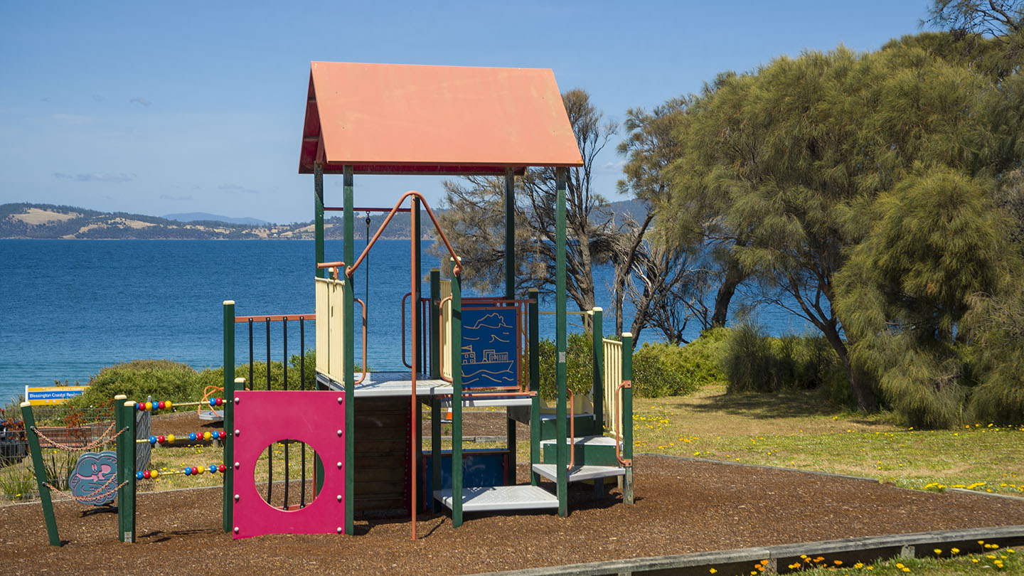
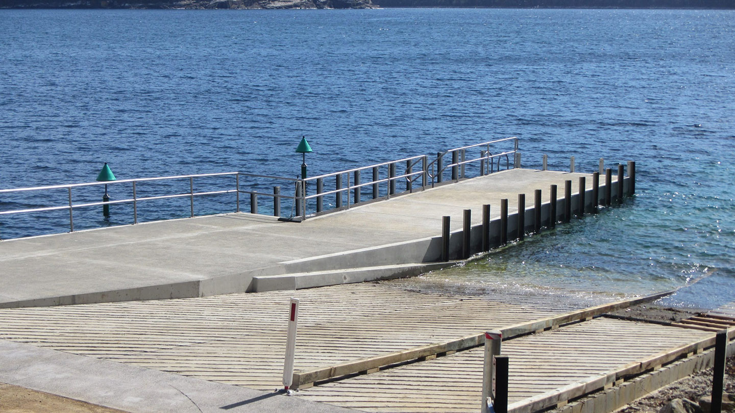
A small hidden beach about 1km past the southern end of Adventure Bay. A normally quiet and secluded beach that has a boat ramp & jetty. Great for a swim without the crowds.
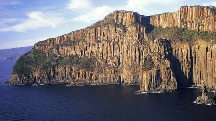
The start point for the Fluted Cape & Grass Point track, with views of Penguin Island. Bruny Island Cruises is located here.
Hazard Rating: 1/10 | Parking: Good + close | from Hobart: 60 km | Faces: West into Eggs & Bacon Bay | Length: 400 m
A quiet protected beach with a gradual foreshore, ideal for a picnic. Turn off Randalls Bay Road for access.
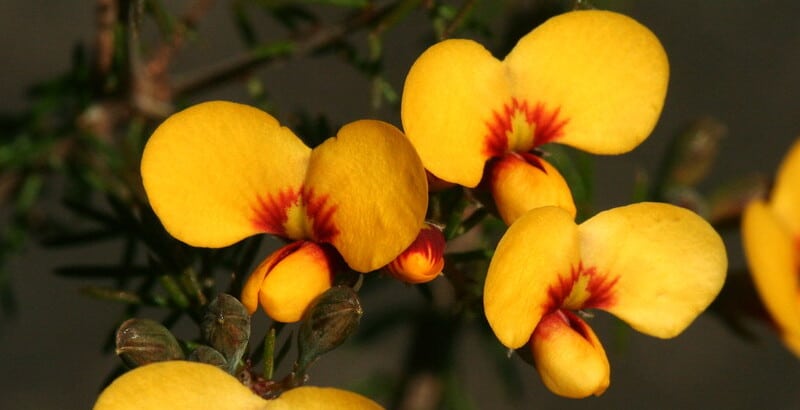
The unusual name is said to be based on the yellow and streaky red eggs-and-bacon flowers that grow in the area from the pea family. An alternative theory though likely untrue, is that Lady Jane Franklin ate bacon and eggs there around 1840 – who knows?
Hazard Rating: 3/10 | Parking: Good | from Hobart: 94 km | Faces: NE | Length: 700 m
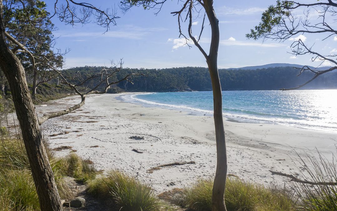
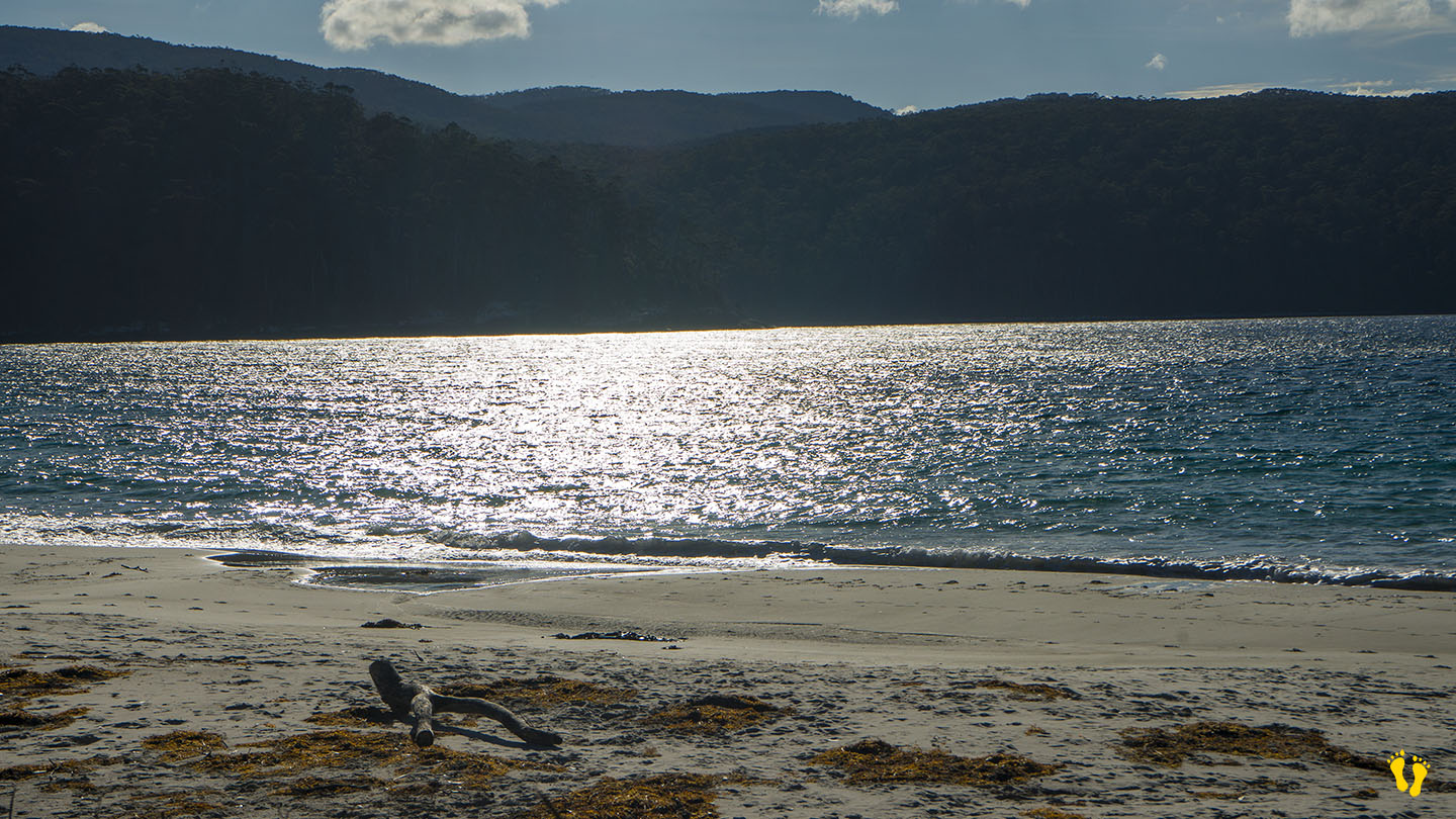
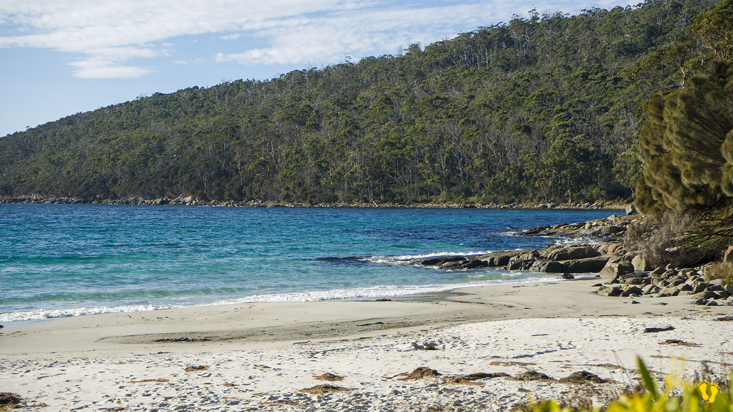
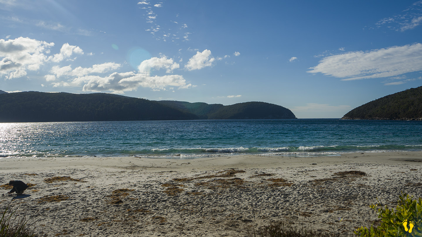
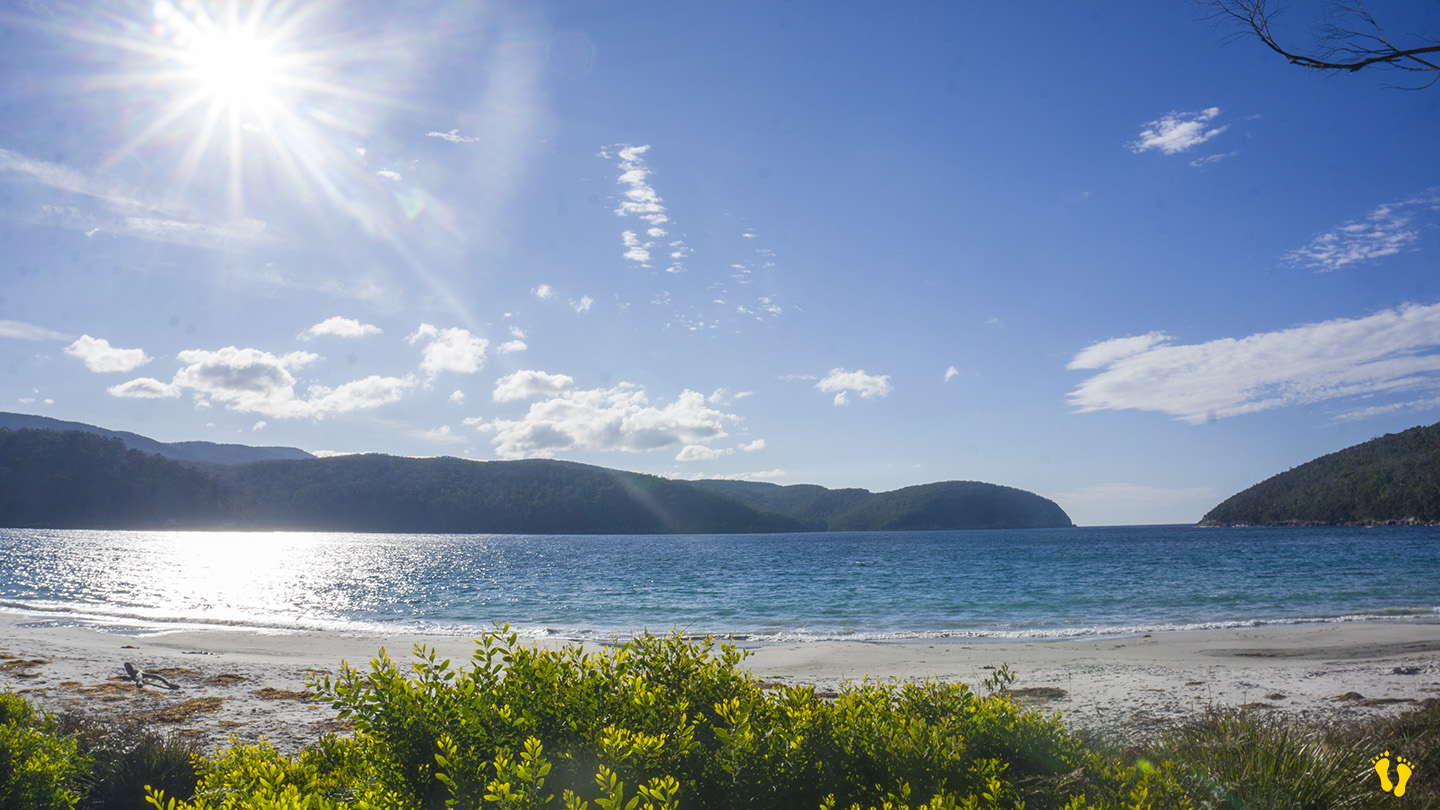
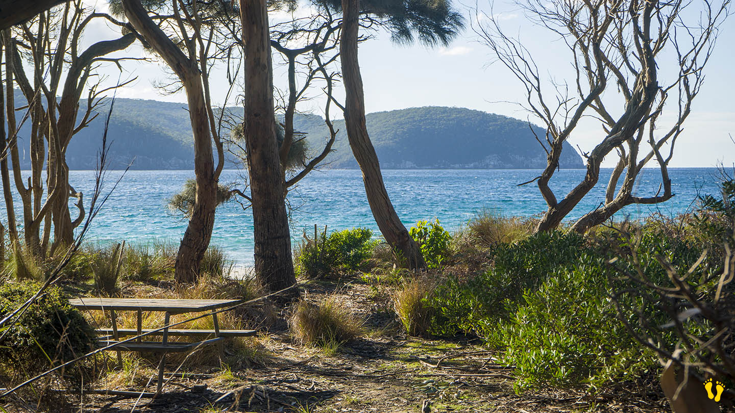
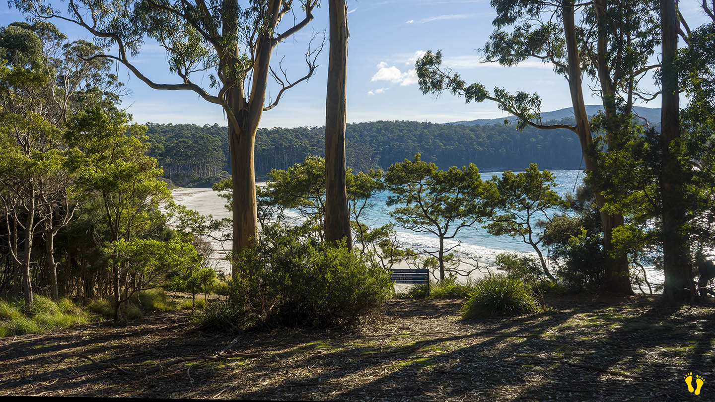
Fortescue Bay is a stunning beach located on the Tasman Peninsula. To access, turn left about 4 km before Port Arthur and travel 12 km down a dirt road suitable for 2WD vehicles.
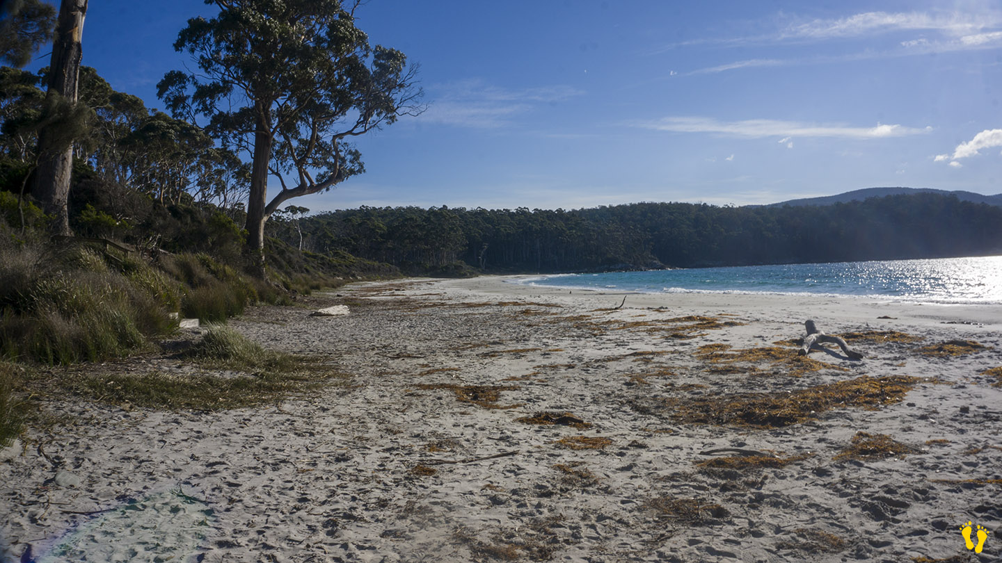
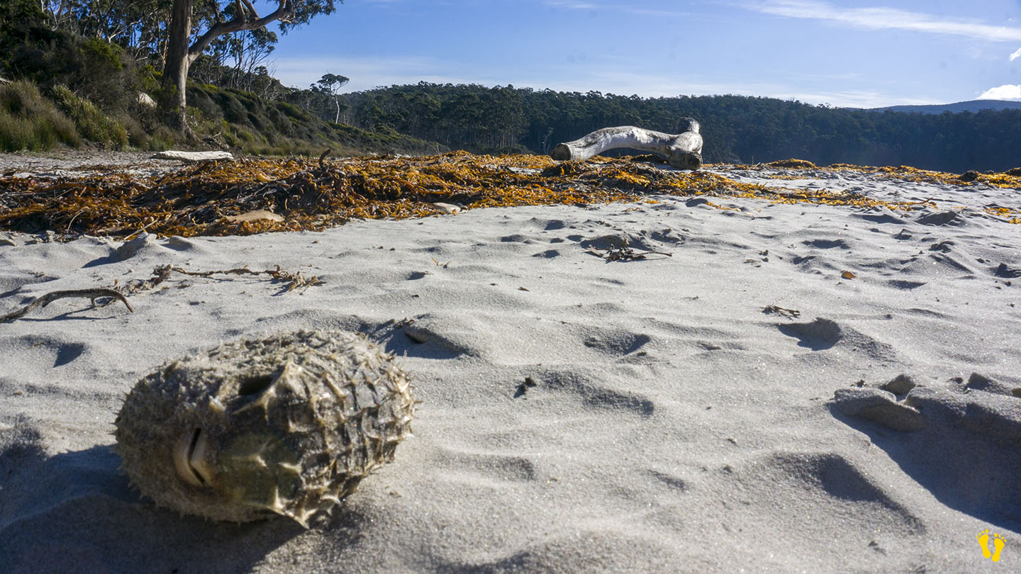
A somewhat protected beach with white sand, aqua water and surrounded by Eucalyptus trees. Ideal for swimming, fishing, diving (including magnificent kelp columns) and walks along the beach where you never know what you may find washed up on the beach. This is one of the premier beaches in Tasmania that still allows camping with over 40 sites available for tents, campervans, and caravans (no powered sites). For detailed information, click here.
Fortescue Bay is worth a visit as a day trip or to camp – it has everything, a beautiful beach, stunning views and the feeling of being in the middle of nowhere – which it is! – you will not be disappointed.
Originally charted as Baie Dolomieu by French explorer Nicolas Baudin in 1802 to honor the French mineralogist Déodat de Dolomieu. It was subsequently renamed Fortescue Bay by British surveyor Robert Scott in the early 19th century after a British naval officer.
This is a TasPlay review of Fortescue Bay – you can contact us at contact@tasplay.com.au.
If this page was helpful, please give us a thumbs up.
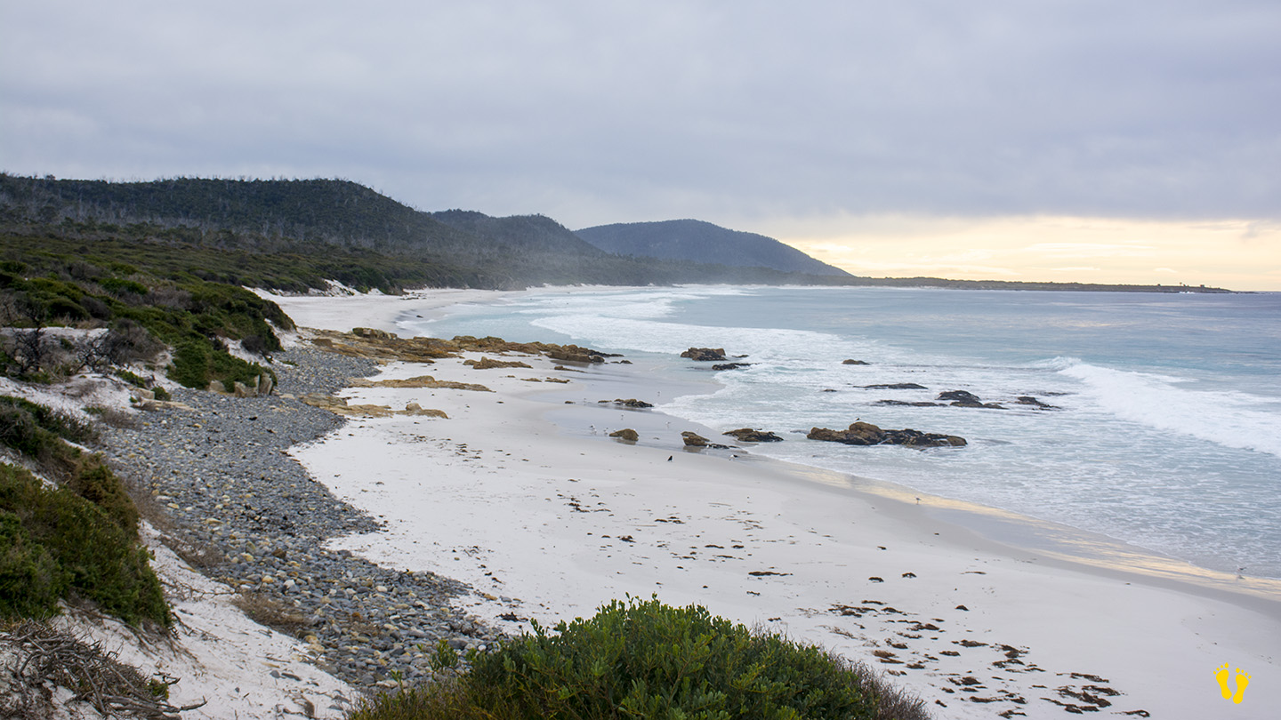
Hazard Rating: 5/10 | Parking: Good | from Hobart: 180 km | Faces: East | Length: 2.5 km
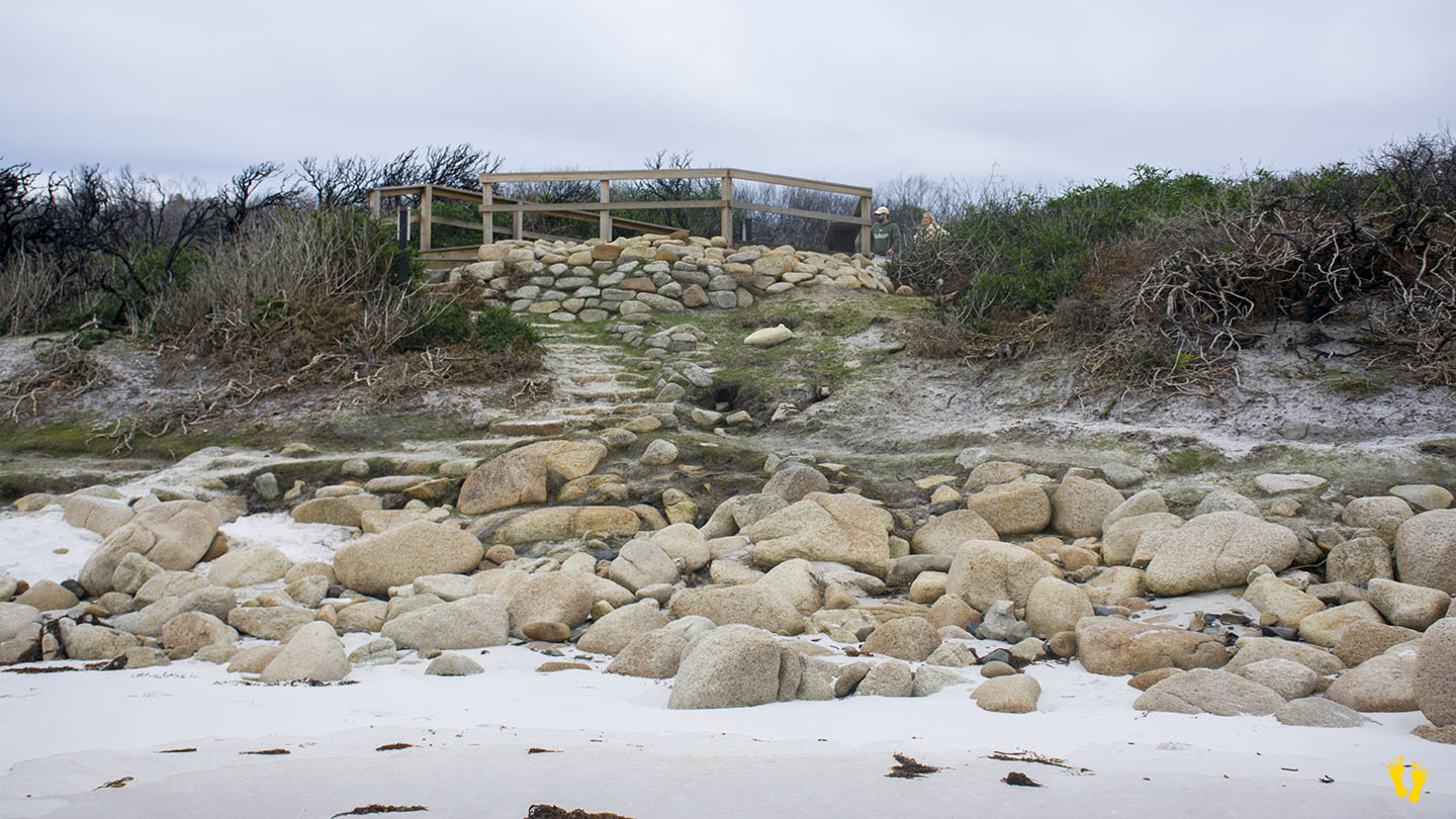
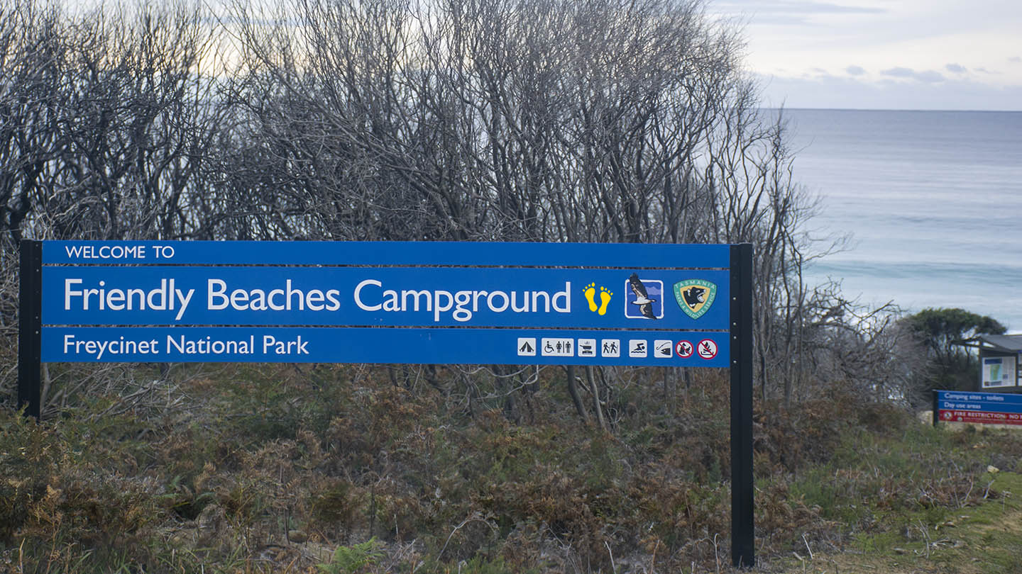
Friendly Beaches is on the East Coast on the way into the Freycinet Peninsula. The best access is mid-beach – Turn off Coles Bay Road onto Friendly Beaches Road for about 4 km – unsealed road but fine for all vehicles. Comprised of two beaches because of a headland in the middle – Isaacs Point (hence beaches – plural).
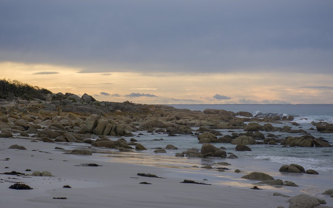
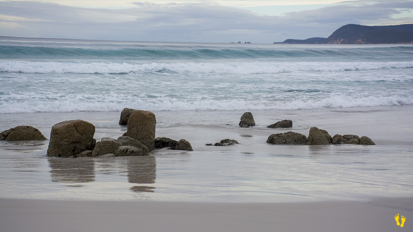
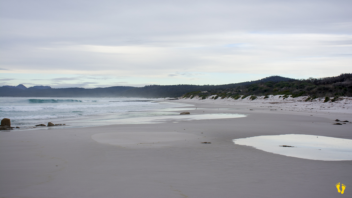
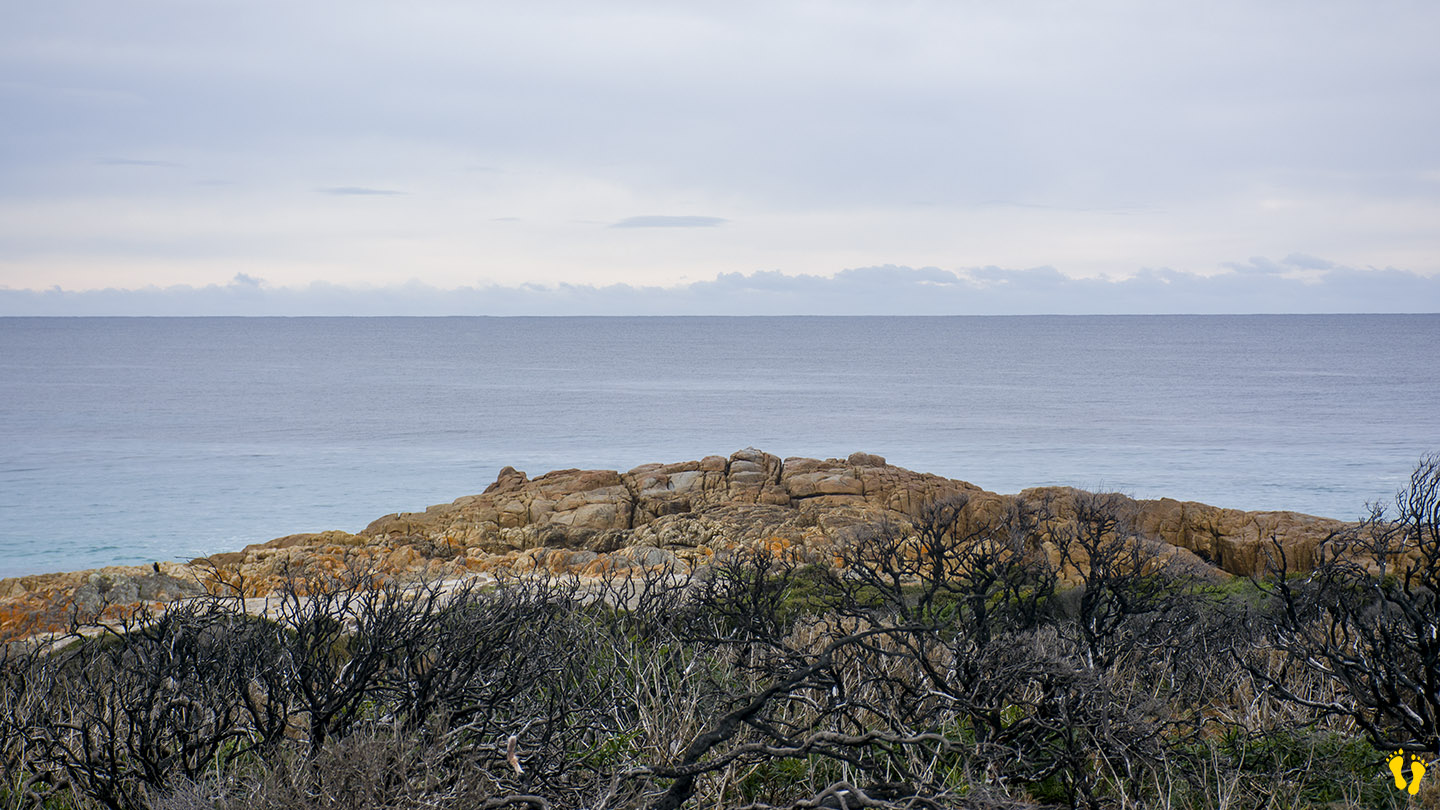
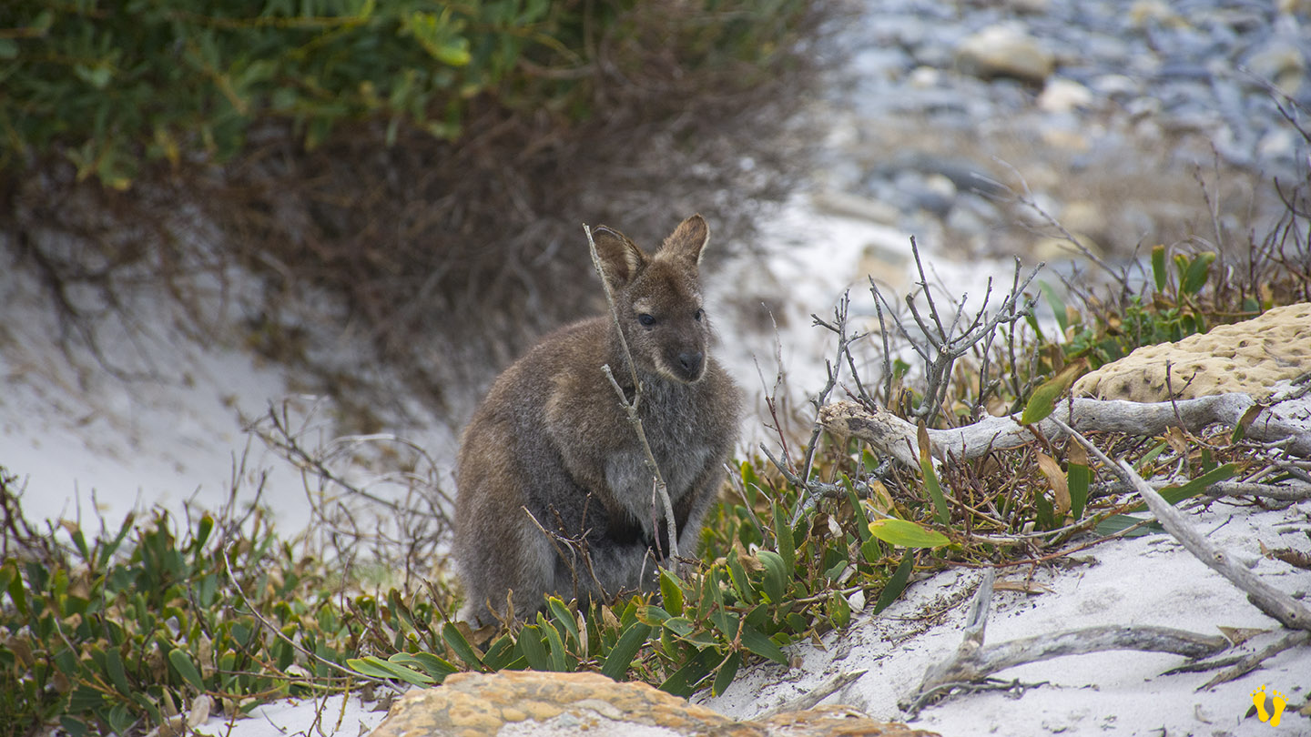
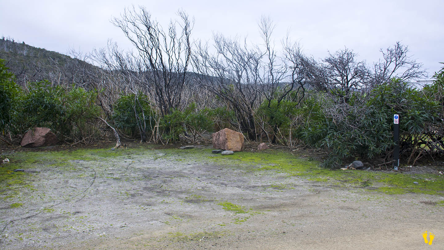
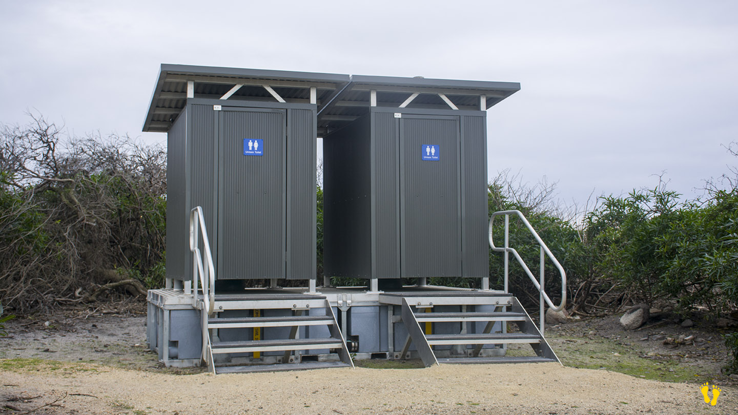
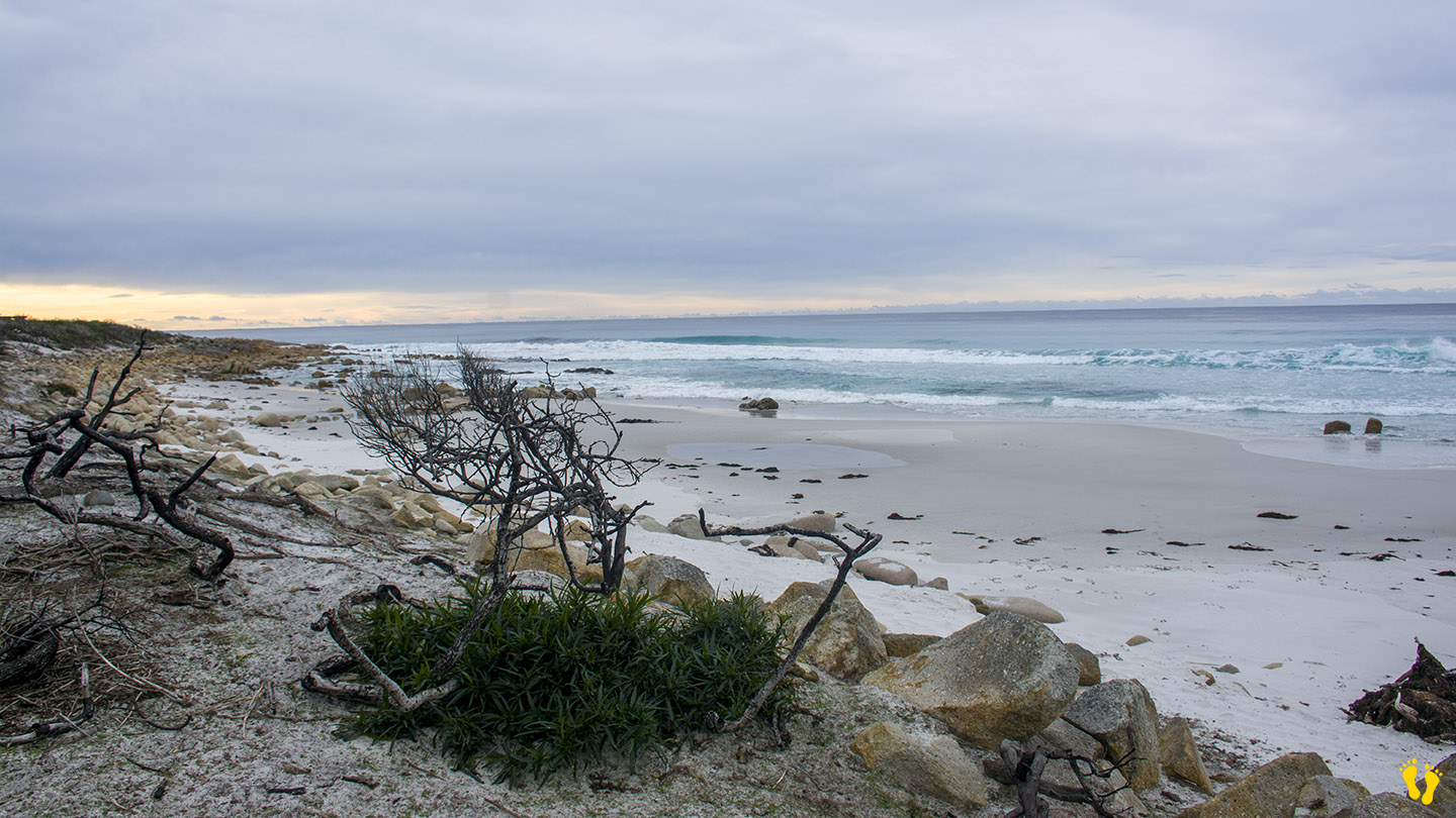
A fantastic, wild and secluded beach. Pristine white sand, aqua water and included in Tasmania’s top 60 walks. Camping available but bring everything, except a toilet!
Look east and you might see New Zealand or maybe some whales?
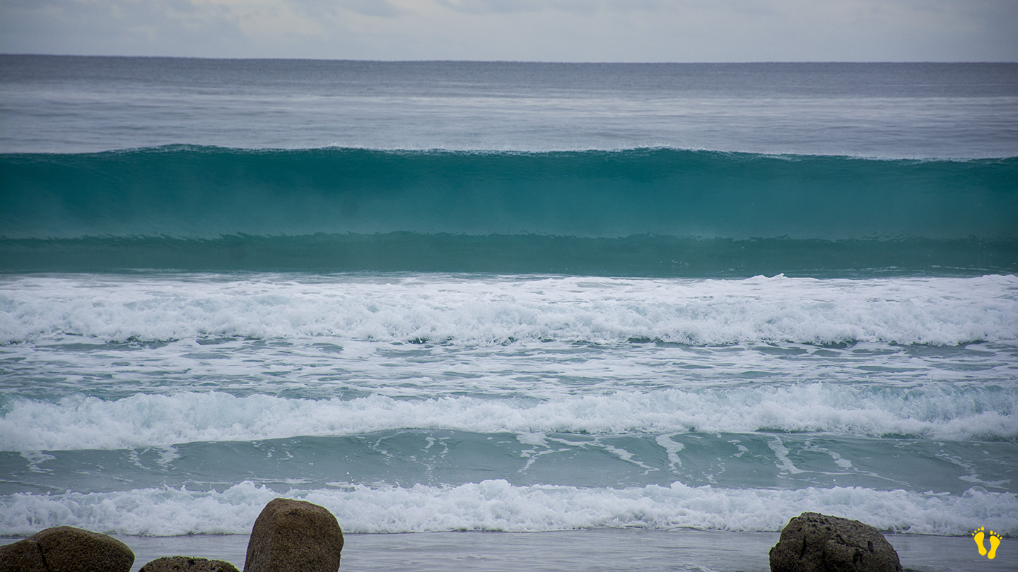
If you are looking for the best beaches in Tasmania – this should be on your list. Swim, walk, fish or surf. For a surf forecast – Click here.
Named after French naturalist Louis de Freycinet in a voyage led by Nicolas Baudit in 1802 after the peaceful and welcoming demeanor of the local Aboriginal people.
Photos by Rani Casey.
This is a TasBeach review of Friendly Beaches – you can contact us at contact@tasbeach.com.au.
If this page was helpful, please give us a thumbs up.