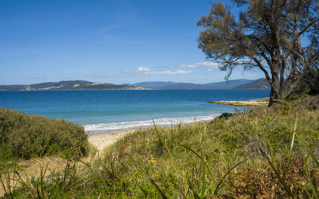
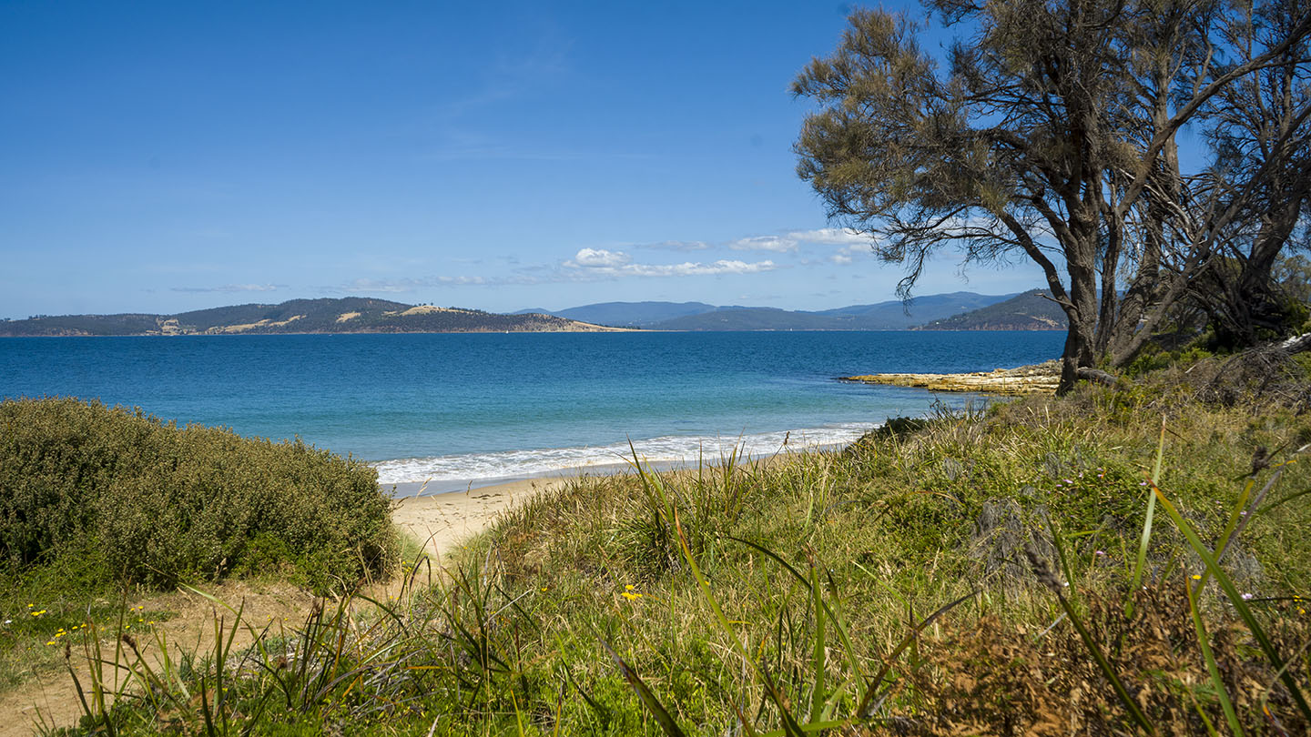
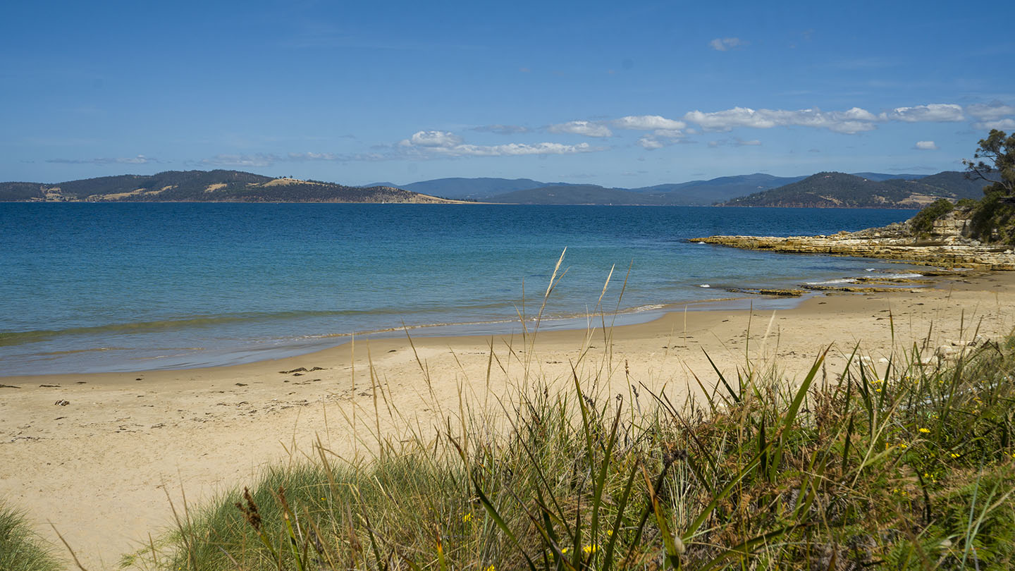
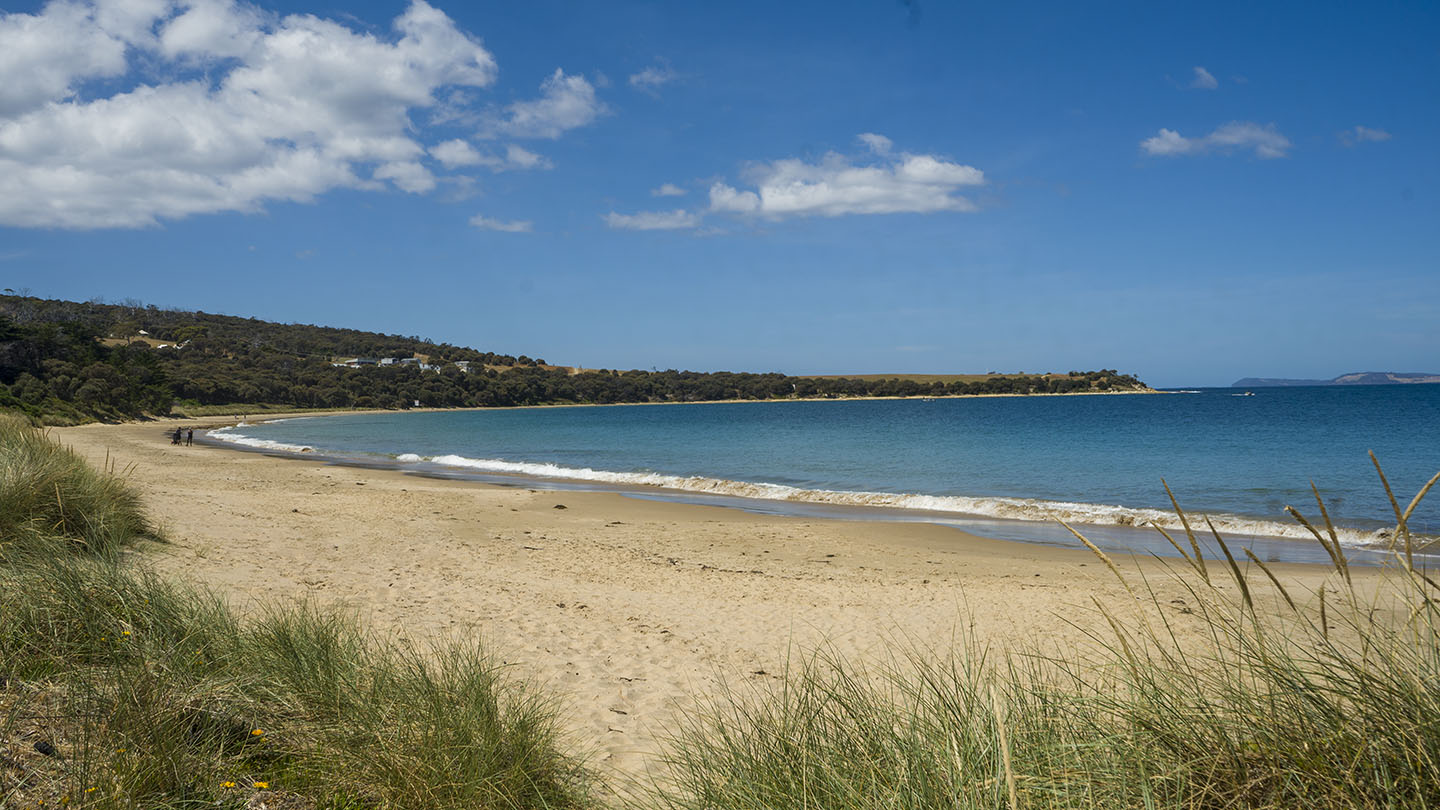
Hazard Rating: 6/10 | Parking: Good + close | from Hobart: 30 km | Faces: South into Storm Bay | Length: 2.1 km
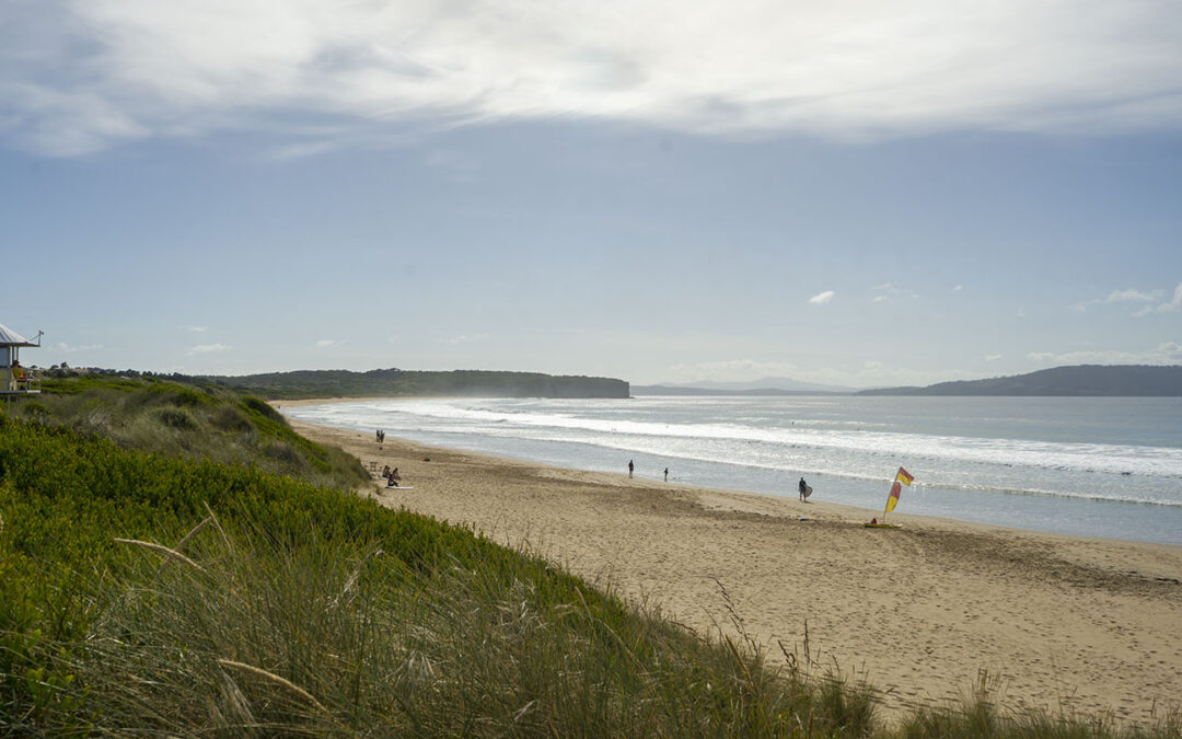
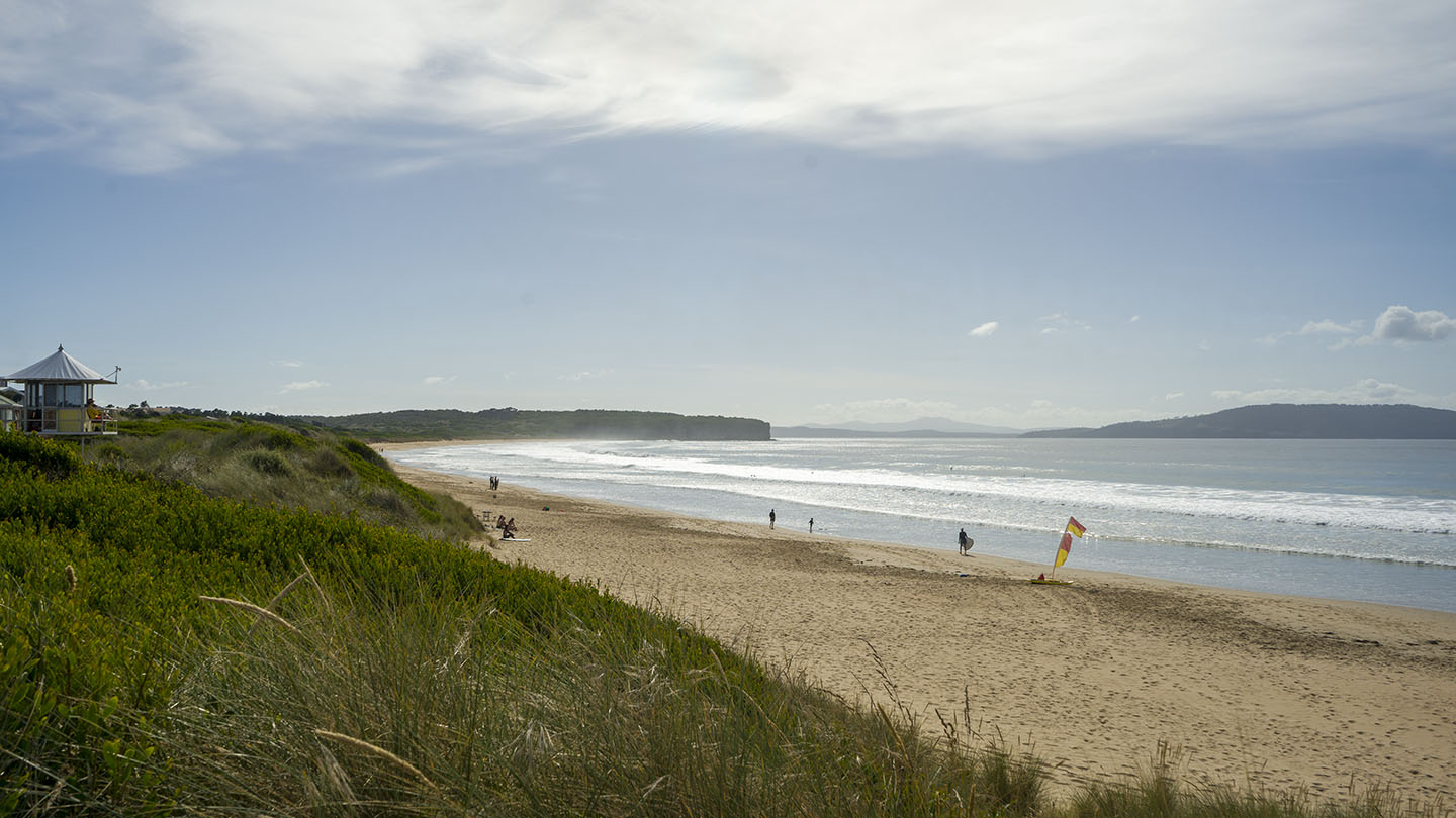
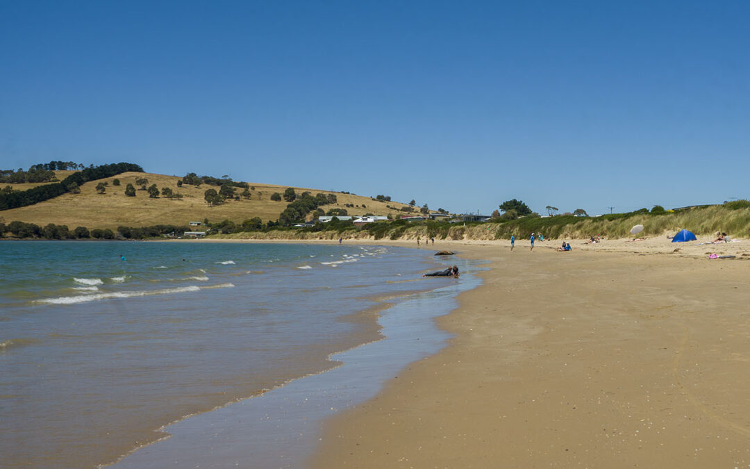
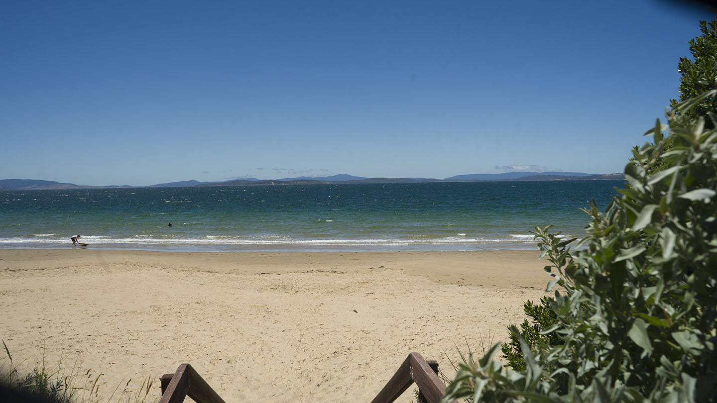
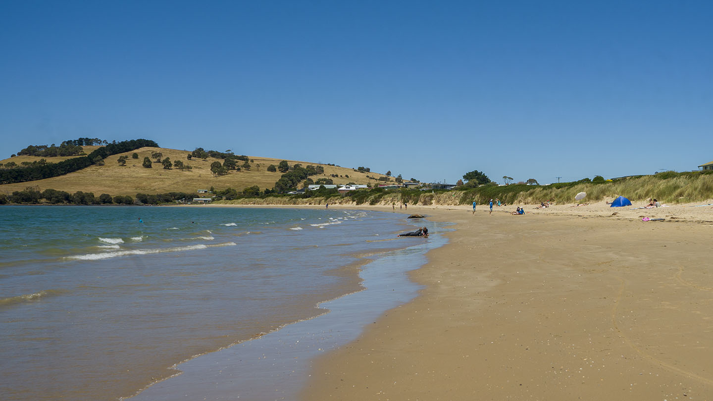
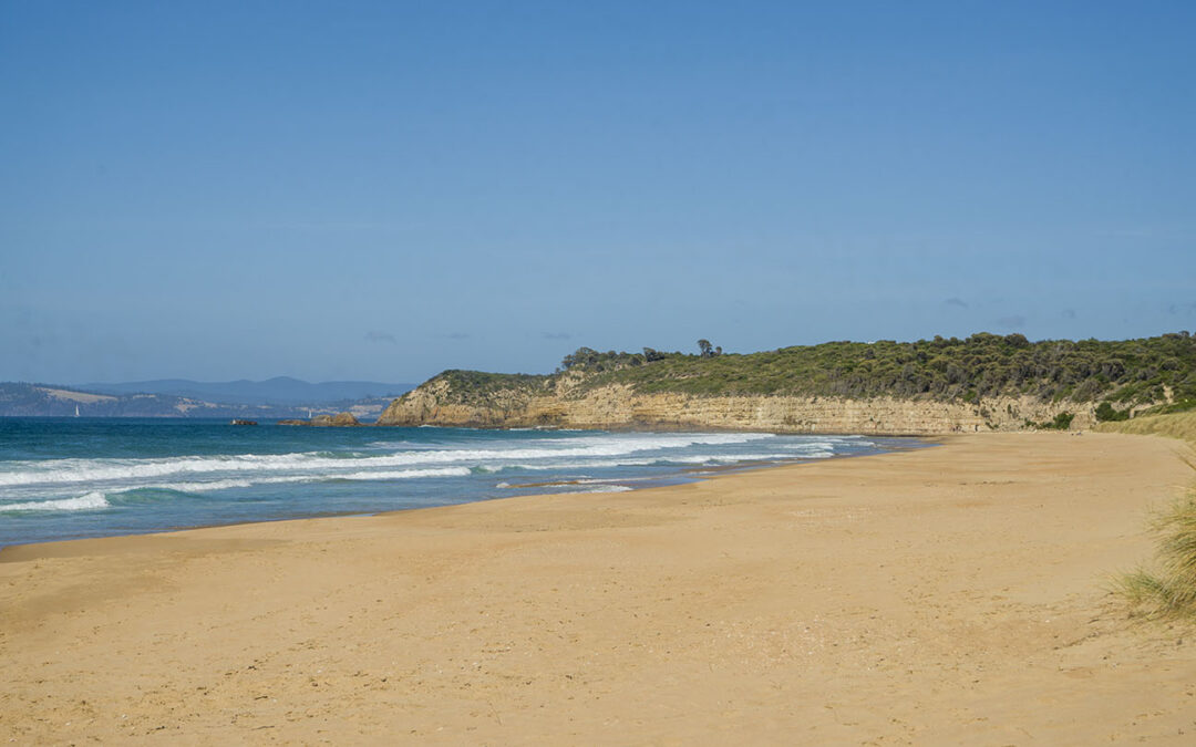
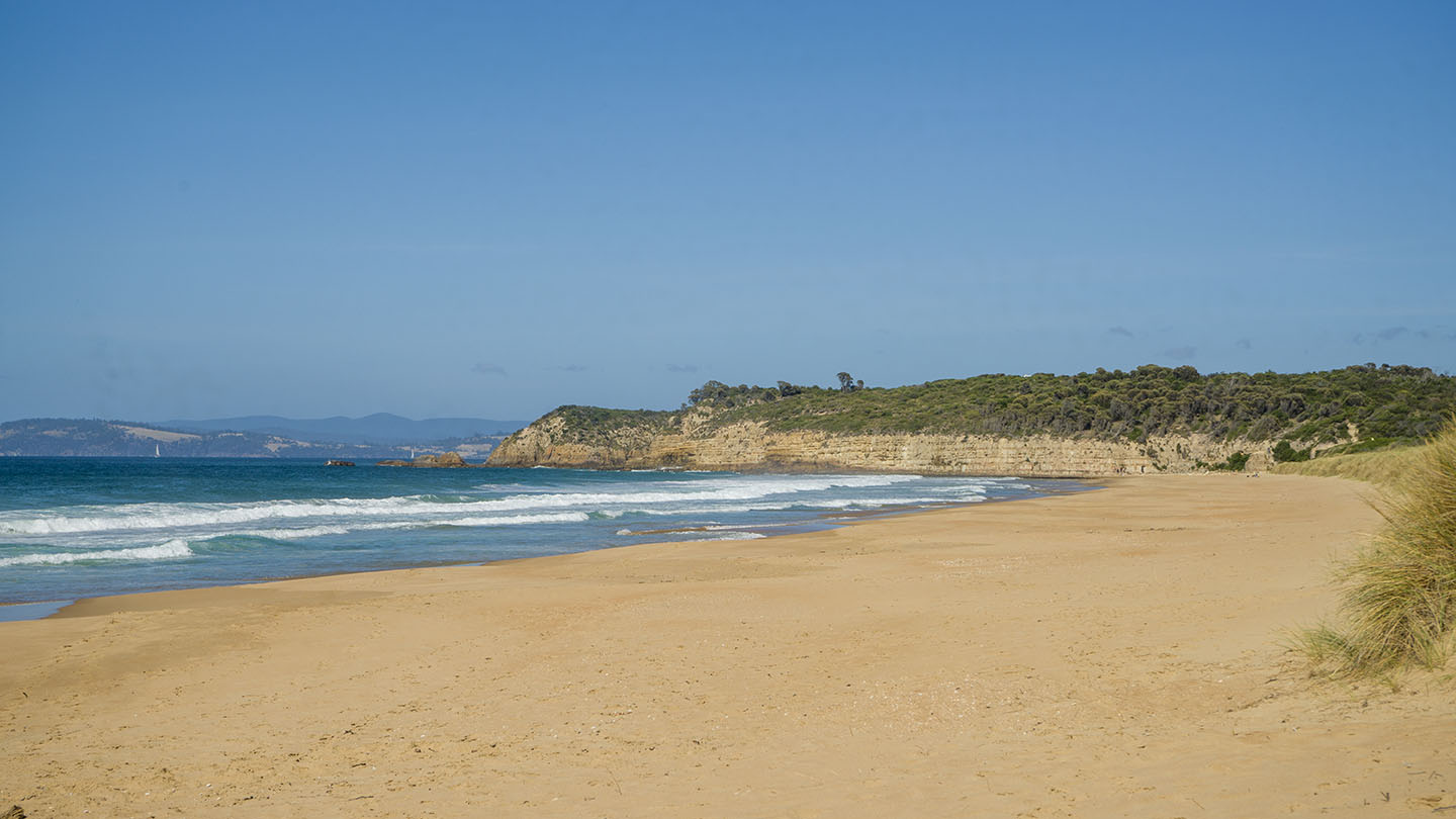
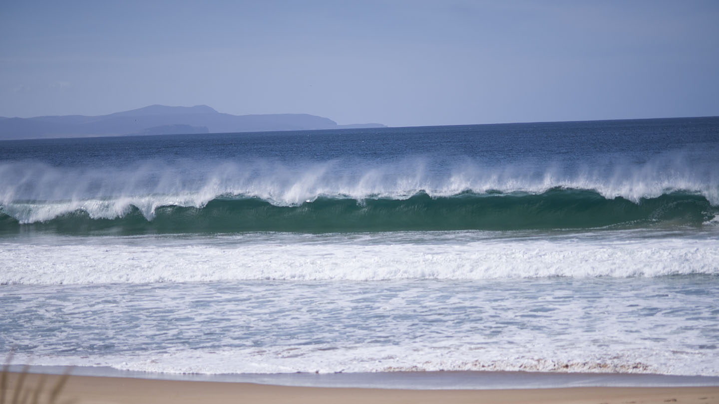
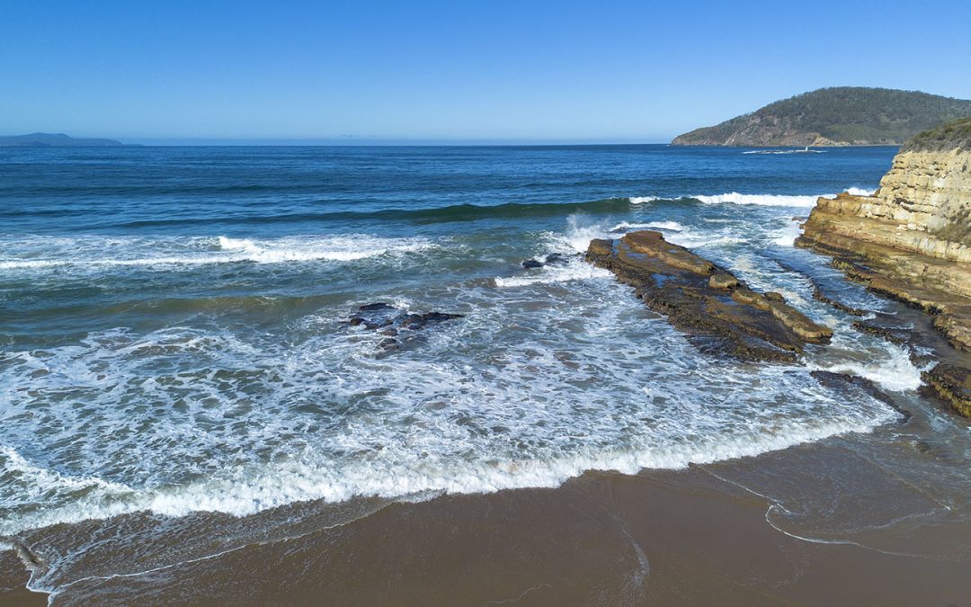
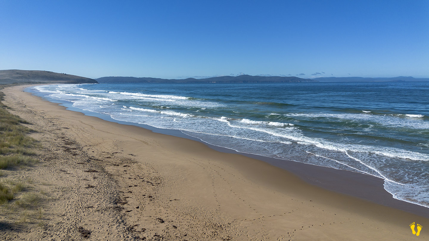
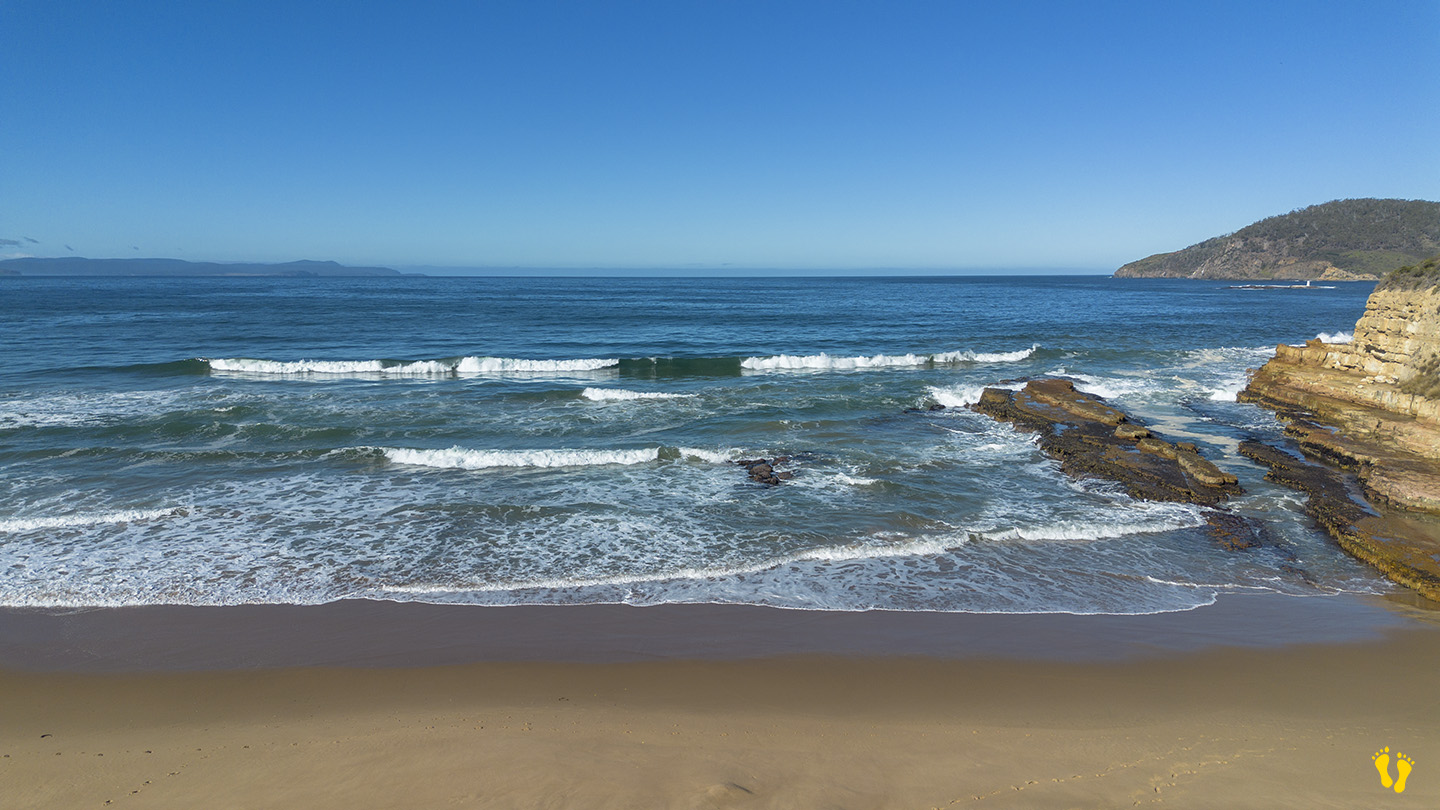
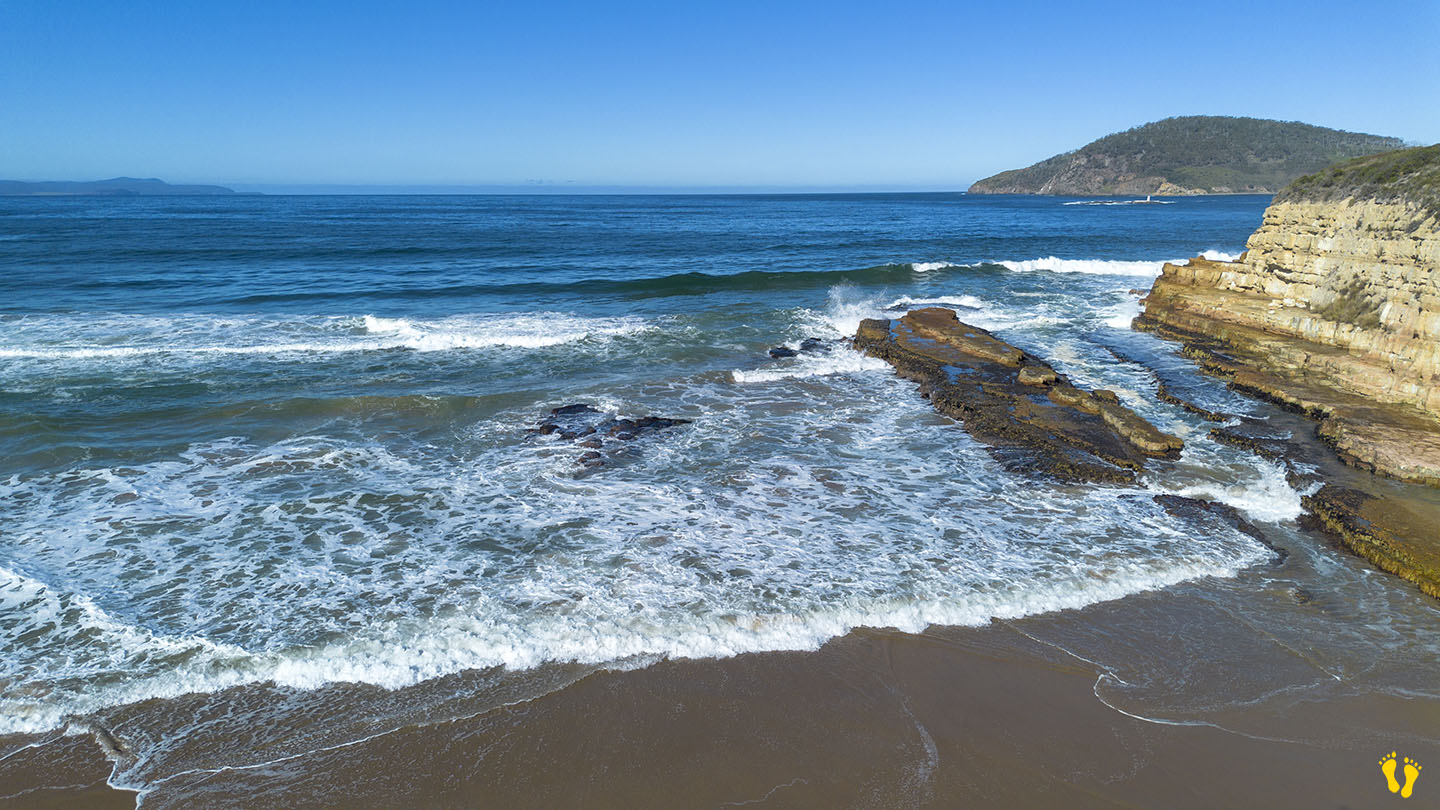
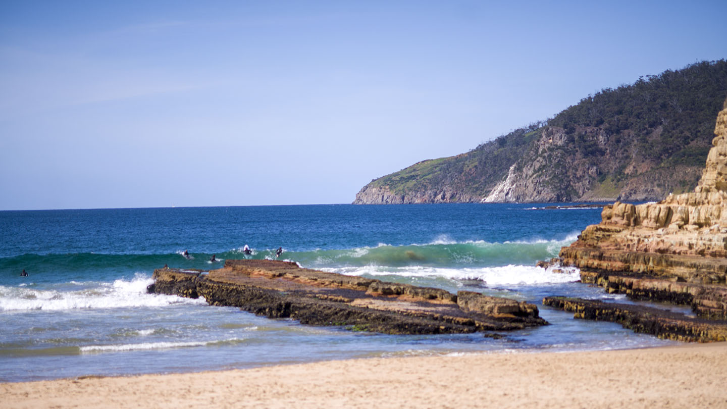
Located off South Arm Road, Clifton Beach is a popular surf beach. The west end is generally referred to as South Clifton and the east end as North Clifton?
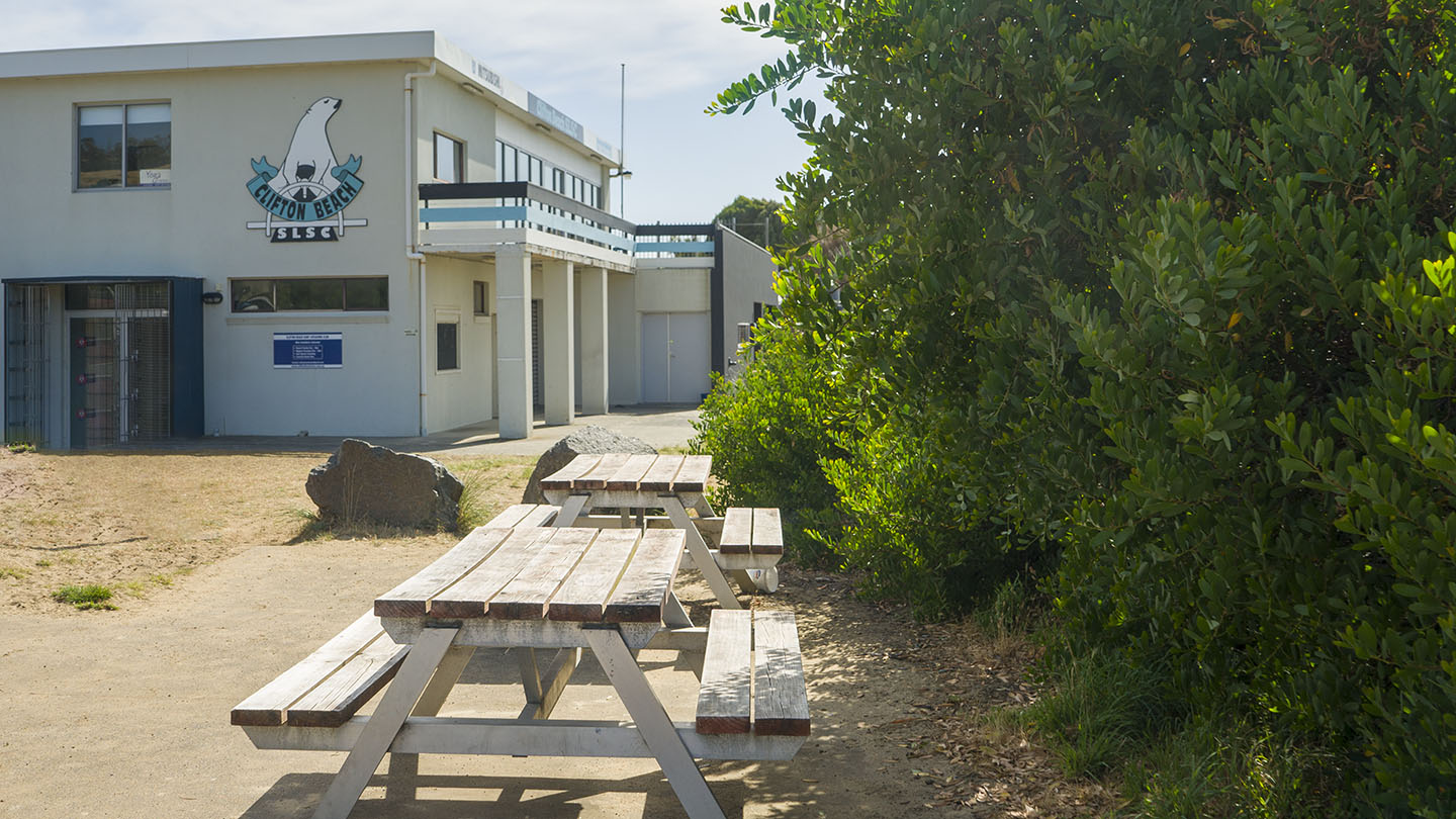
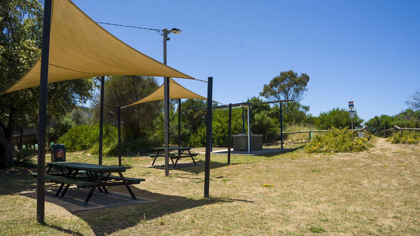
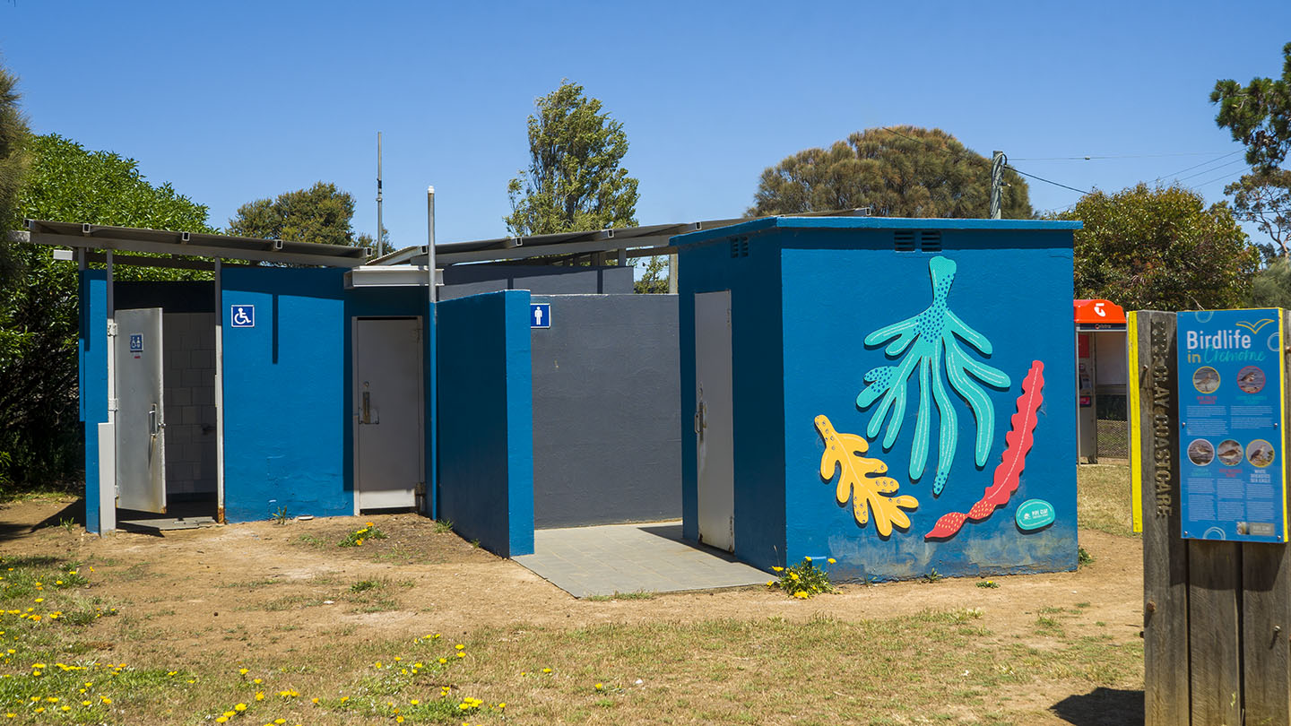
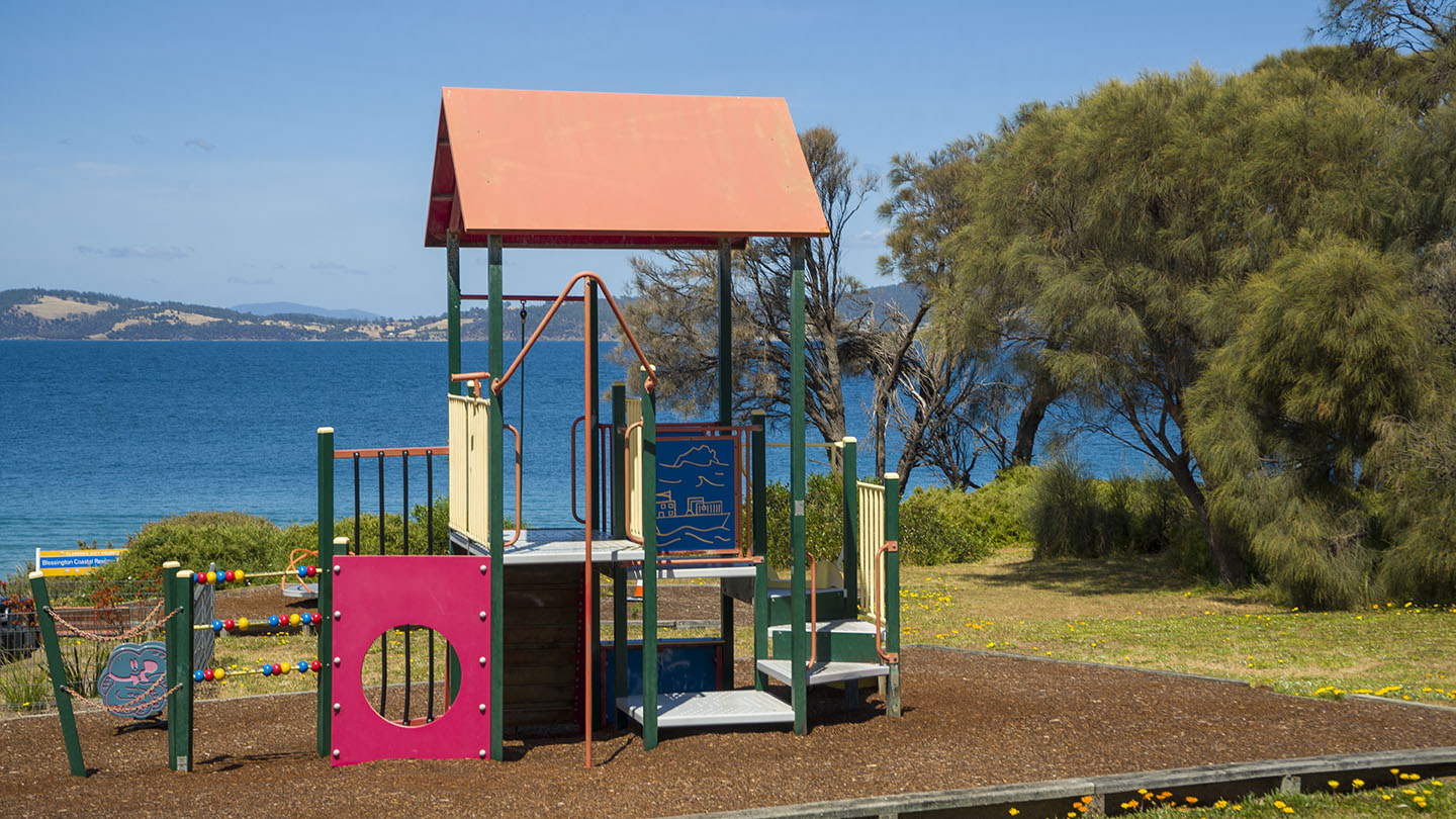
South has close parking but may become busy on good days. Good amenities and is often patrolled.
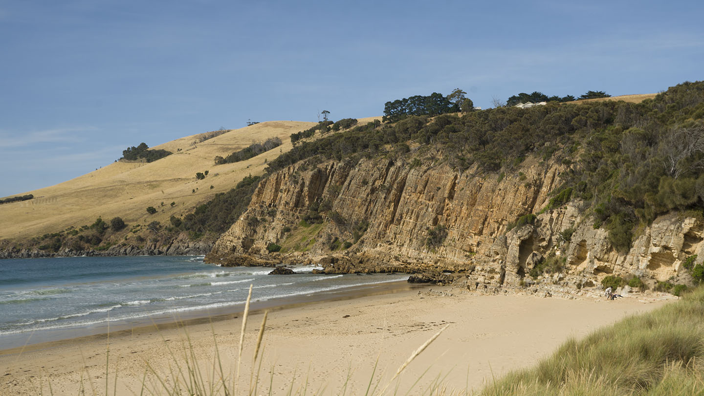
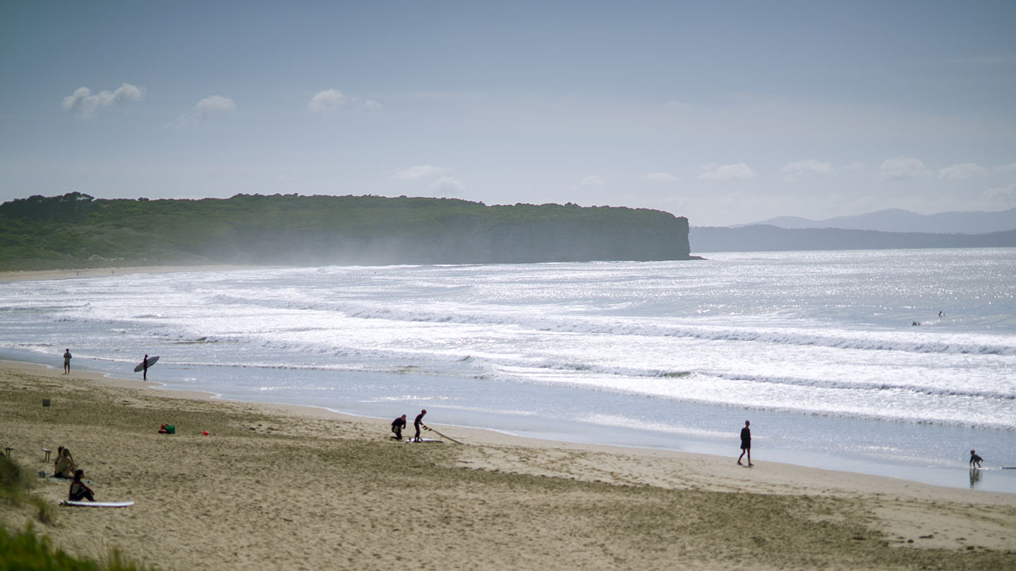
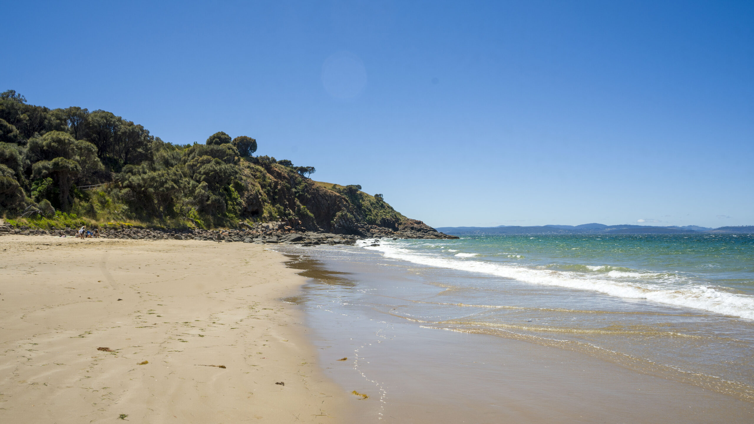
North is accessed via Cape Deslacs Track and a 300m walk and has no amenities. Often has better surf than the south end.
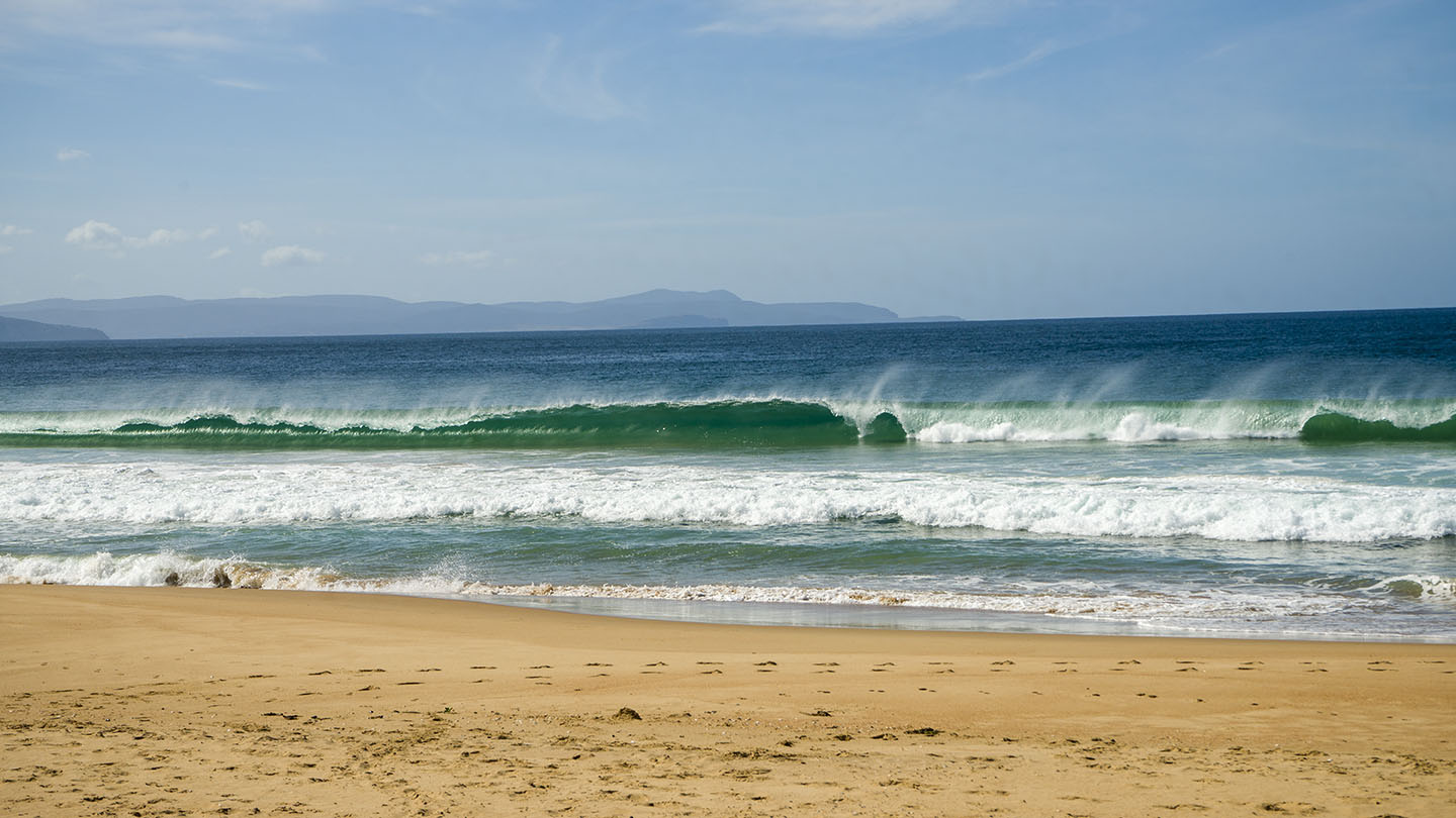
South is a good beach to learn surfing and boarding as it has consistent surf and is often patrolled.
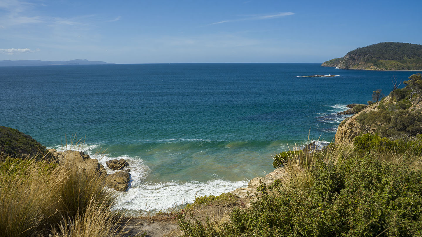
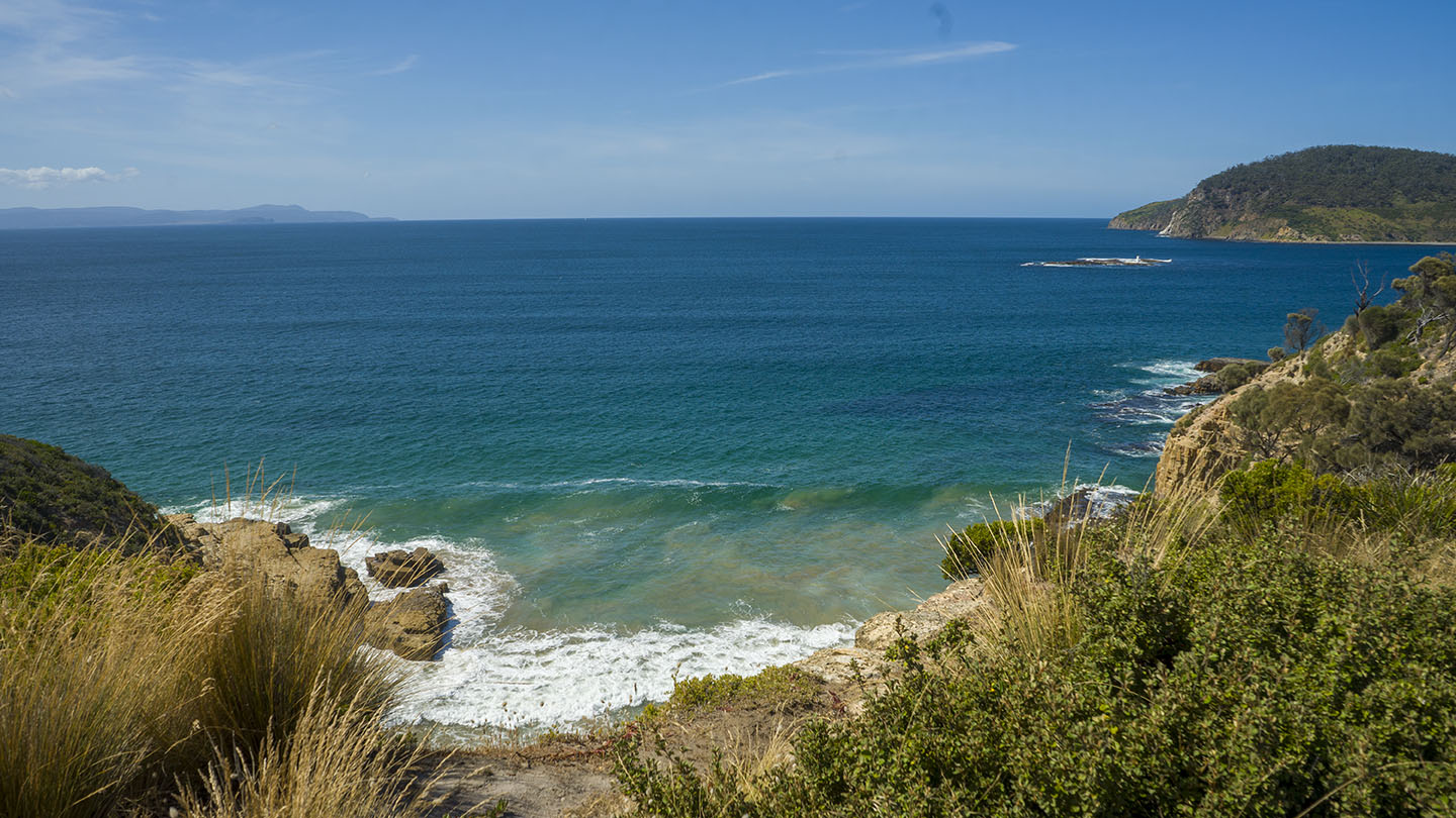
Hazard rating: 6/10 | Parking: Varied | from Hobart: 34 km | Faces: South-ish into Storm Bay | Length: 2.4 km
Located off South Arm Road past Clifton Beach. There are three access points, two mid beach with parking about 50 – 100m from the beach and one at the west bluff end that has close parking and is a popular surf spot (Goats Bluff).
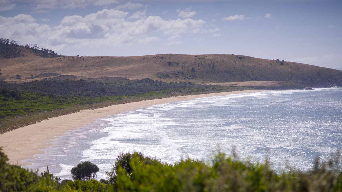
A highly recommended pristine and secluded beach that often has surf.
Goats Bluff is a headland on South Arm Road just before South Arm. A high bluff with great views and ideal for viewing auroras. Good parking.
Looking south from the top of the bluff – you have Goats (Calverts) Beach to the east, Hope Beach to the west and Black Jack Rocks and Betsey Island straight ahead.
Two great surf beaches are on each side of the bluff.
East of the bluff – Goats – accessible by road with good parking (for a surf beach) – Surf forecast.
West of the bluff – The Wedge – a walk down from the bluff (about 400m) – Surf forecast.
This is a TasBeach review of Goats Bluff and Wedge – you can contact us at contact@tasbeach.com.au.
If this page was helpful, please give us a thumbs up.
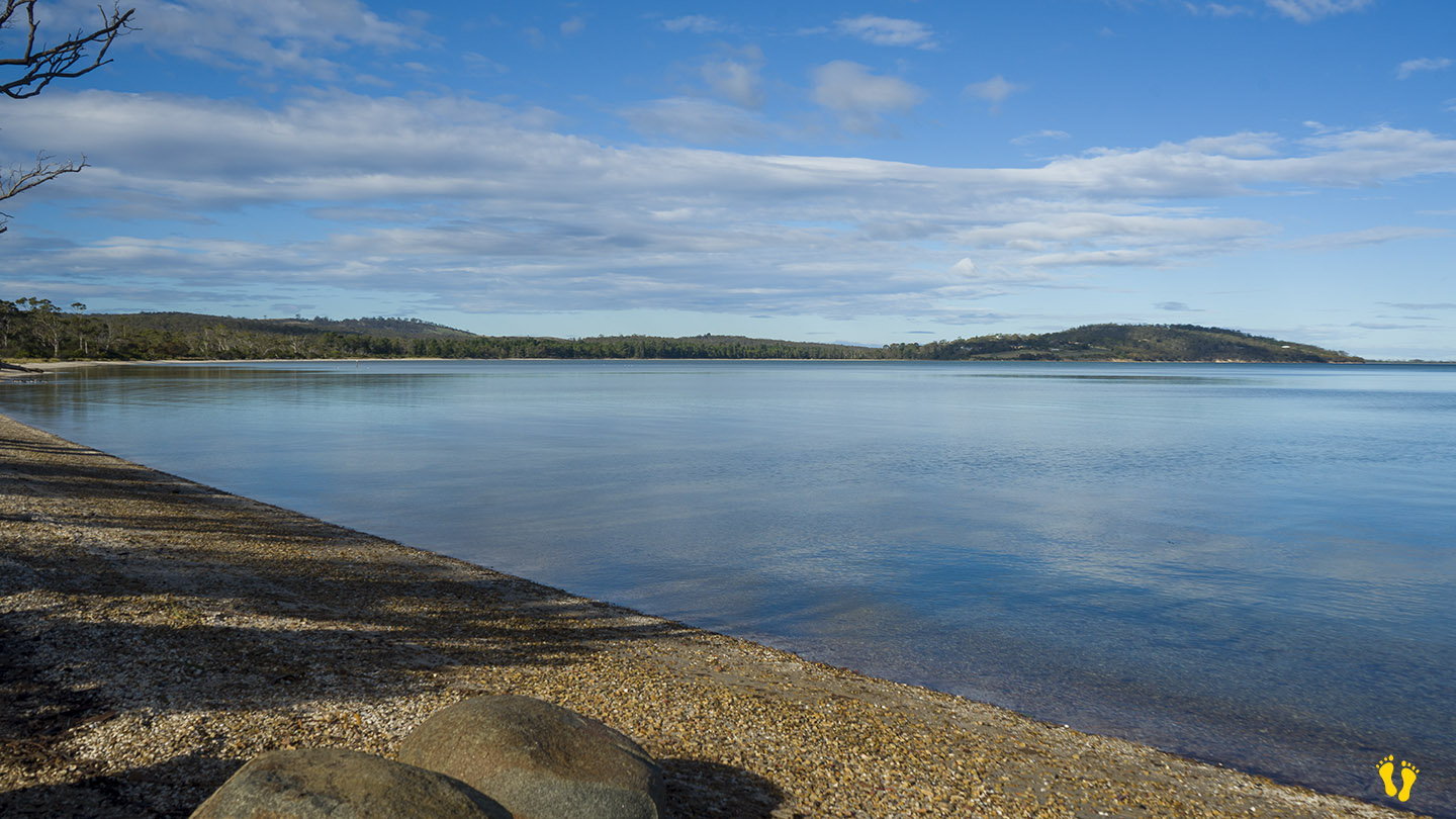
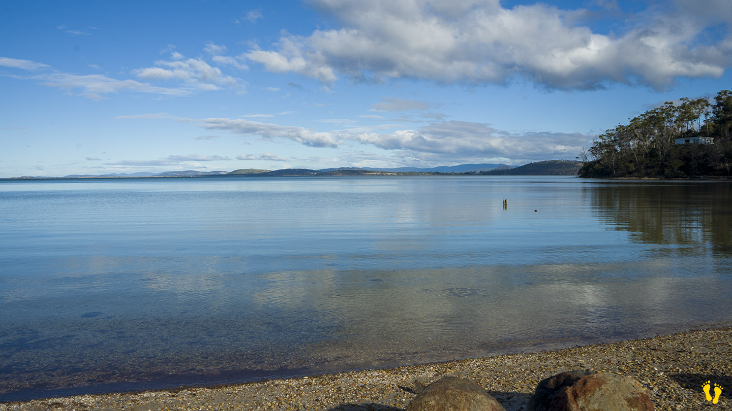
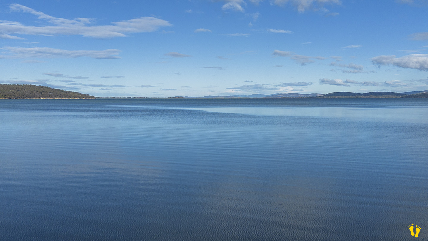
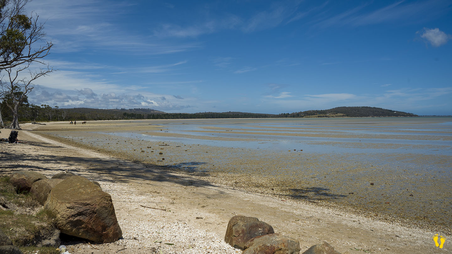
Hazard Rating: 1/10 | Parking: Good + close | from Hobart: 26 km | Faces: West into Mortimer Bay | Length: 2.7 km
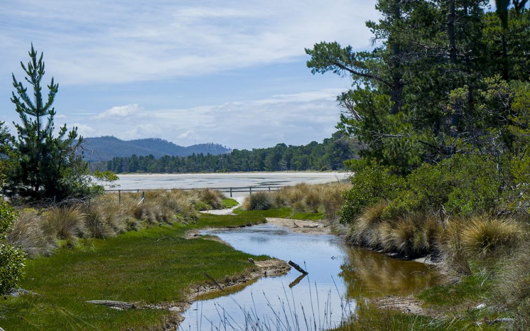
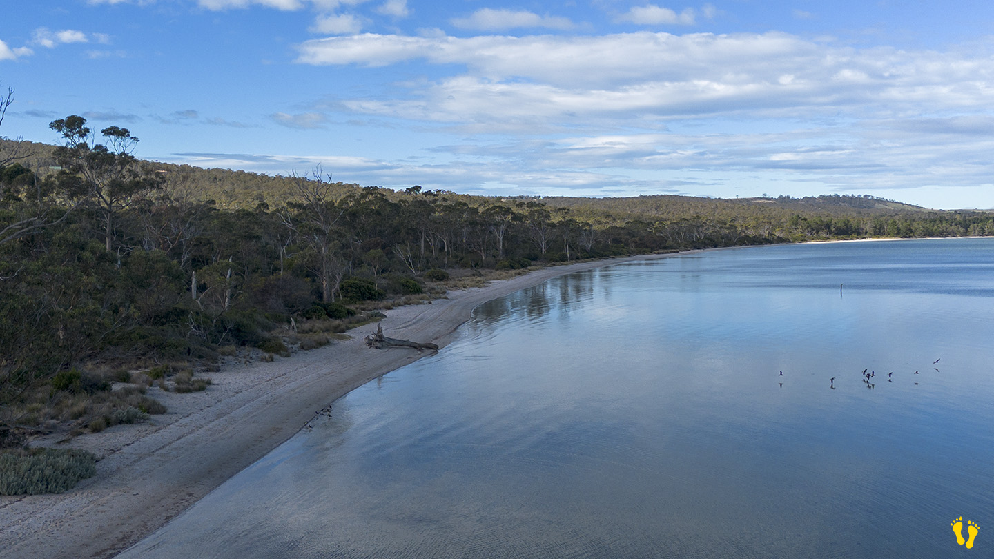
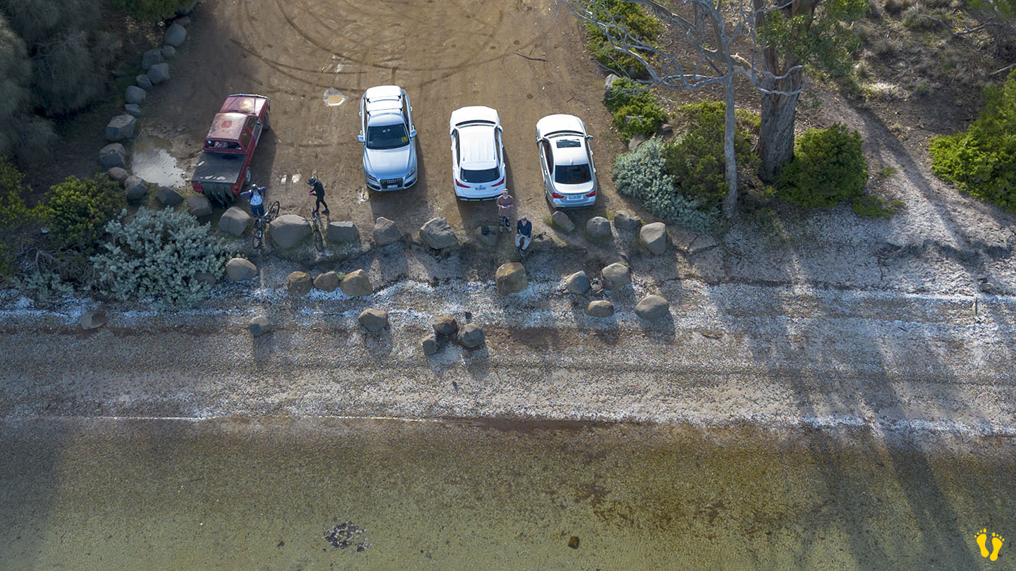
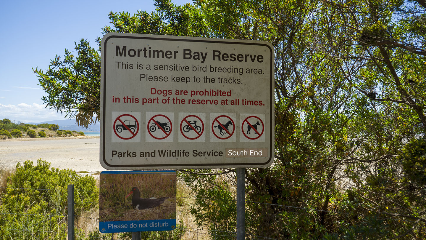
Gorringes Beach is part of the Mortimer Bay reserve in a protected area of South Arm. Access via Rifle Range Road about 2km past Lauderdale (right). Follow Rifle Range Road for about 3km and turn right into a dirt road to access the north end (about 1km further). To access the south end continue down Rifle Range Road (which turns into Gellibrand Drive) for another 3km. No bikes, dogs or horses on the south end.
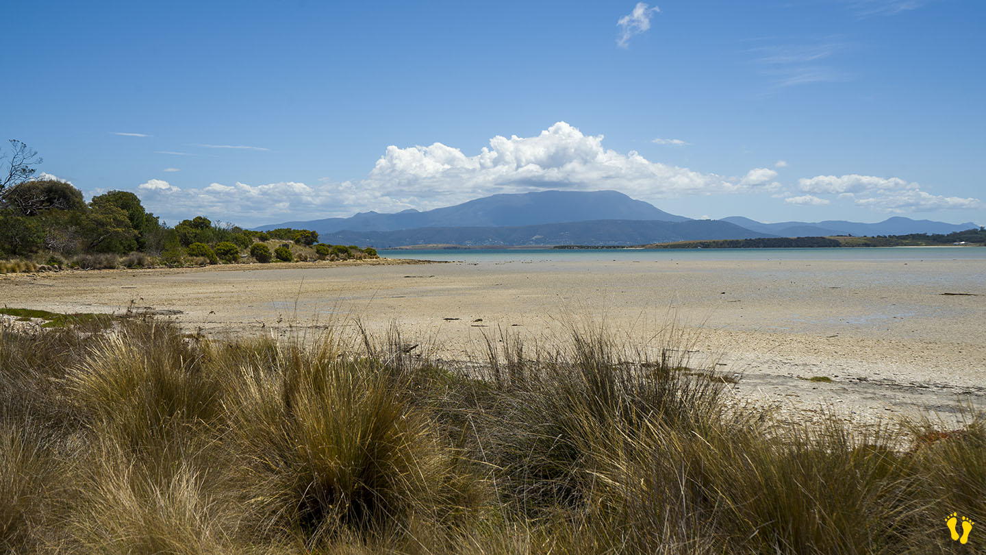
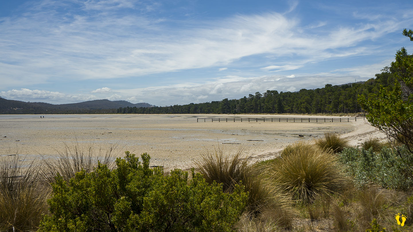
A gradual tidal beach that is more suited for wading than swimming. Interesting birdlife and other things to explore and a wonderful beach to walk and explore with views of the east side of South Arm. The experience varies a lot depending on the tide. I recommend grabbing a pie at Windy’s Bakery in Lauderdale and sitting on the beach while watching the bird life.
Gorringes Beach was named after Charles Francis Gorringe Senior (born 1809) who occupied the area in 1867. Mortimer Bay was named after landowner and whaler Henry William Mortimer who lived there between 1825-39.
This is a TasBeach review of Gorringes Beach – you can contact us at contact@tasbeach.com.au.
If this page was helpful, please give us a thumbs up.