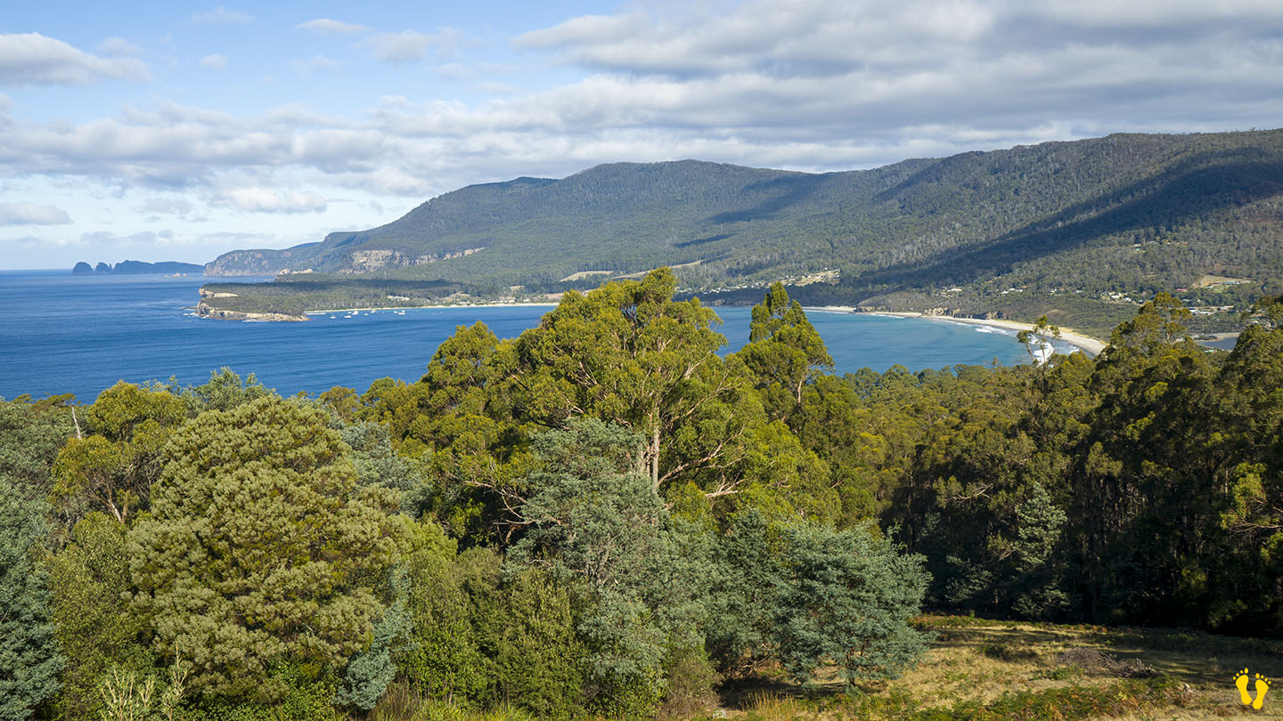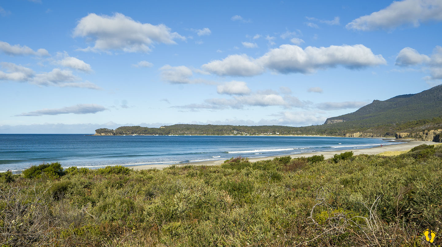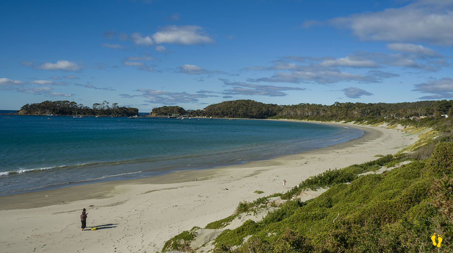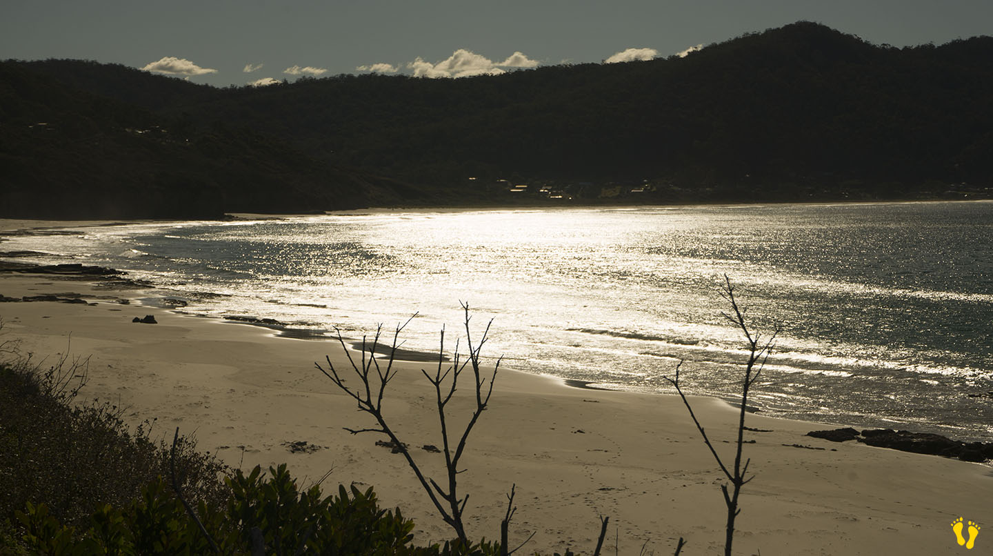
by Mickey Jarvis | Jan 10, 2023 | Low Hazard, South Arm Road
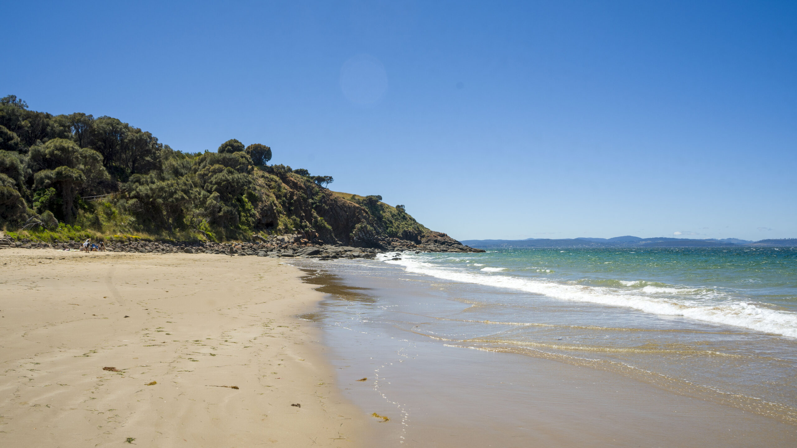
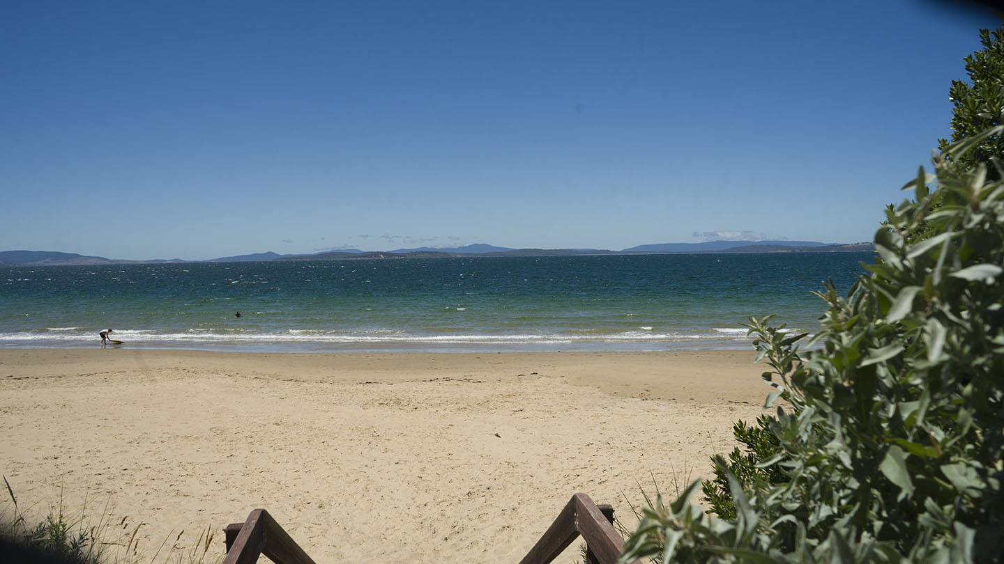
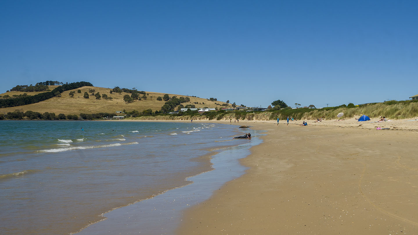
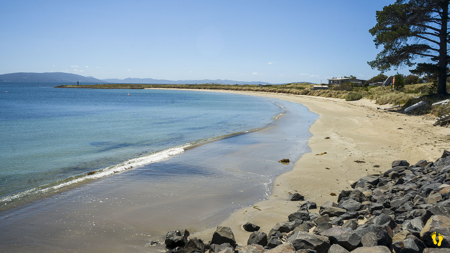
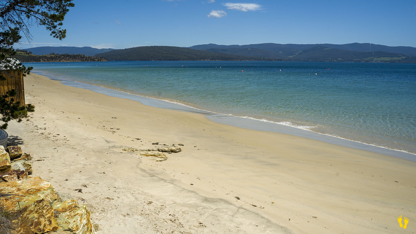
South Arm Road | Hazard Rating: 3/10 | Parking: Good + close | from Hobart: 27 km | Faces: East into Frederick Henry Bay | Length: 1.3 km
Original People: Moomairemener.
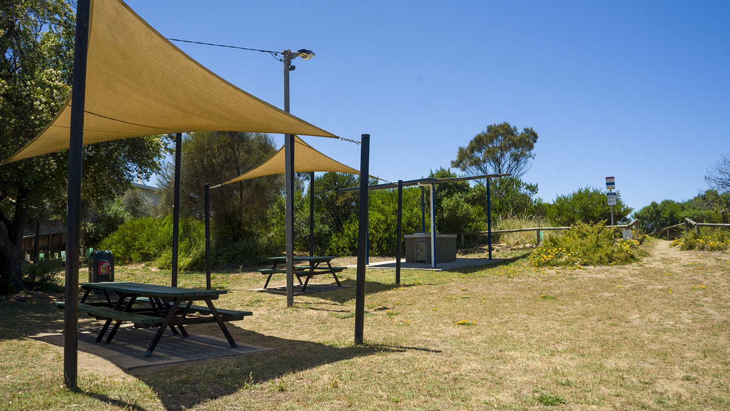
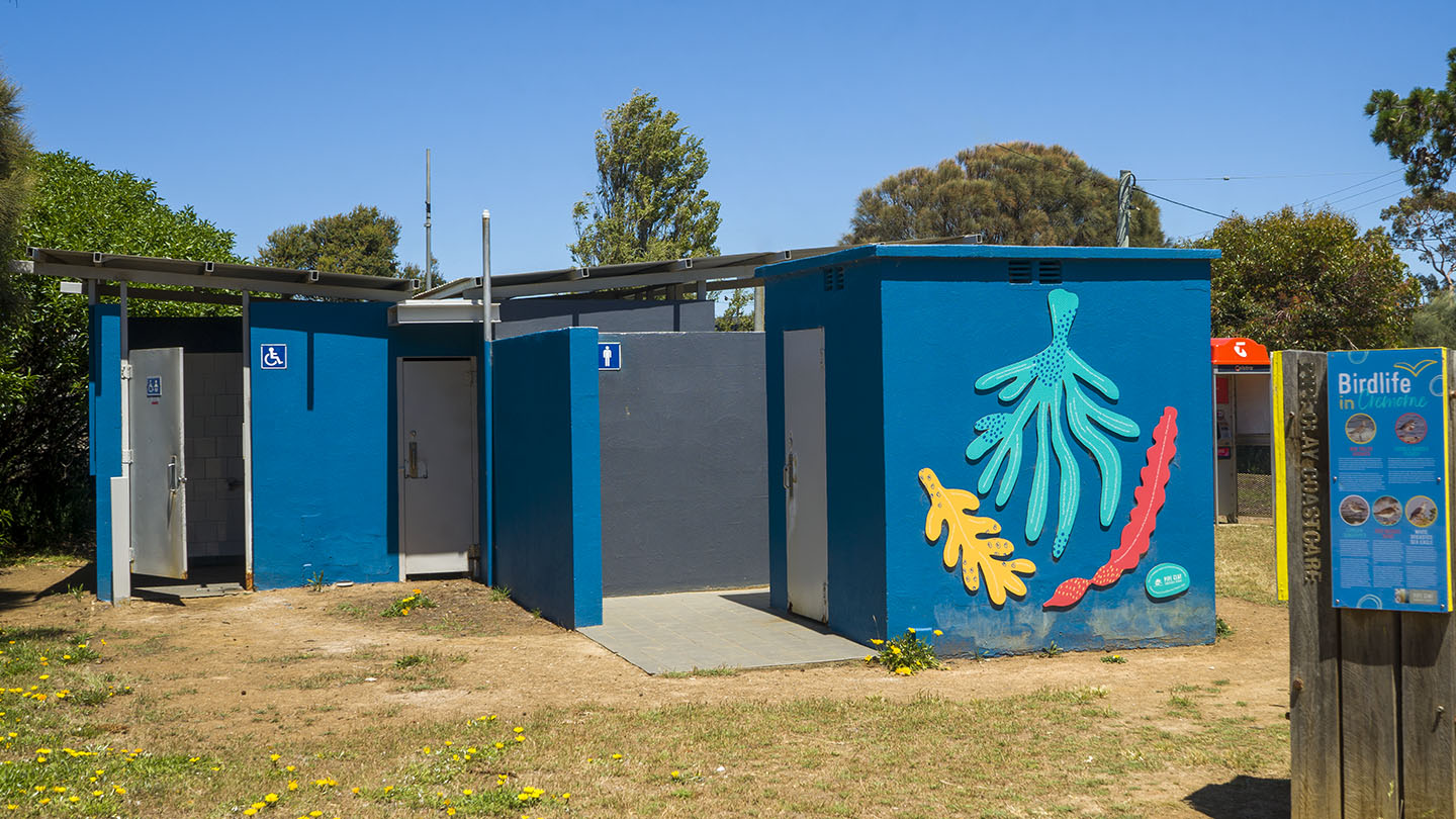
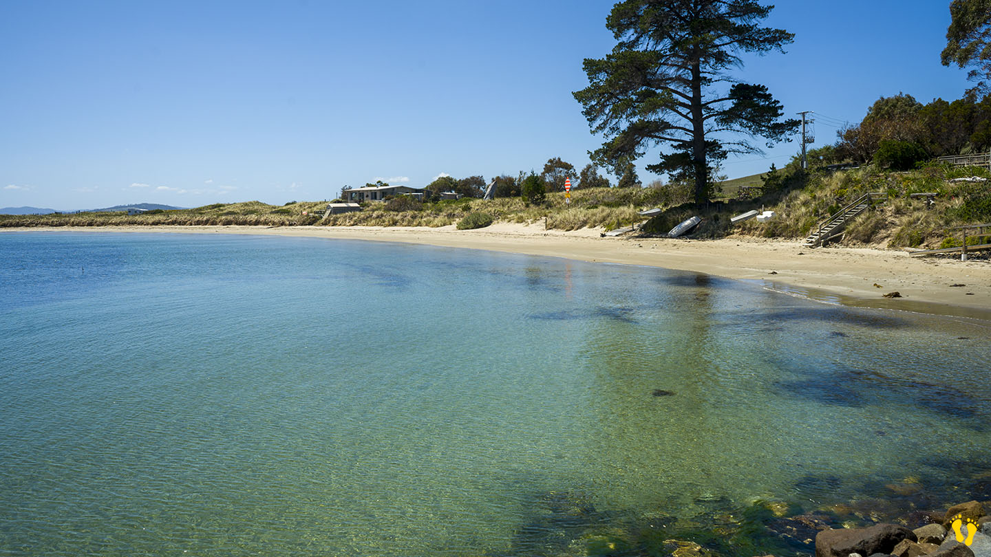
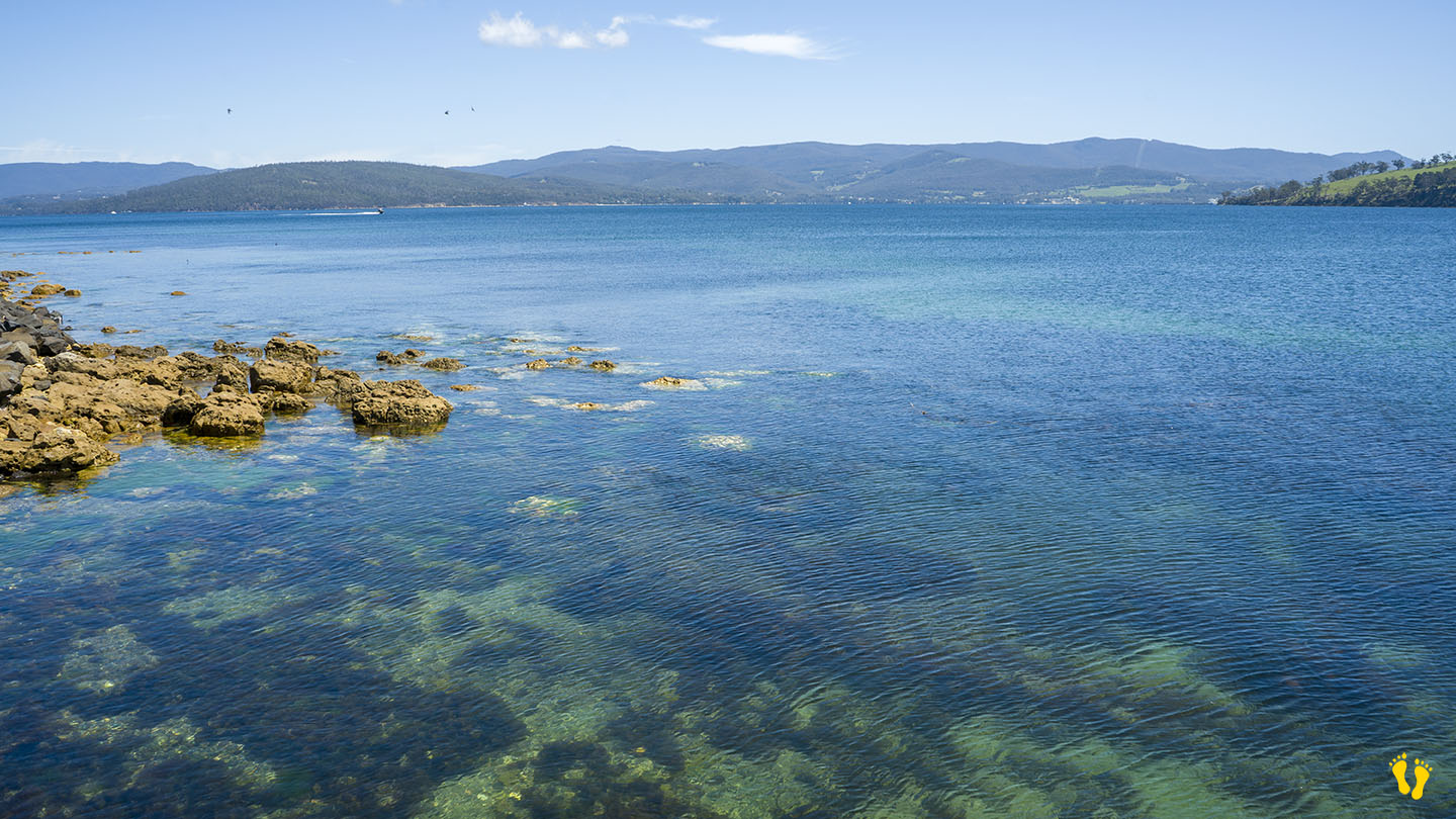
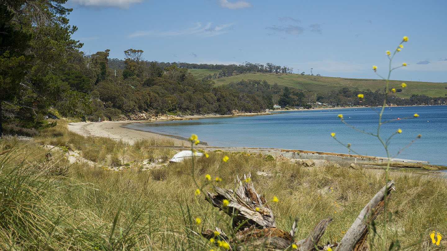
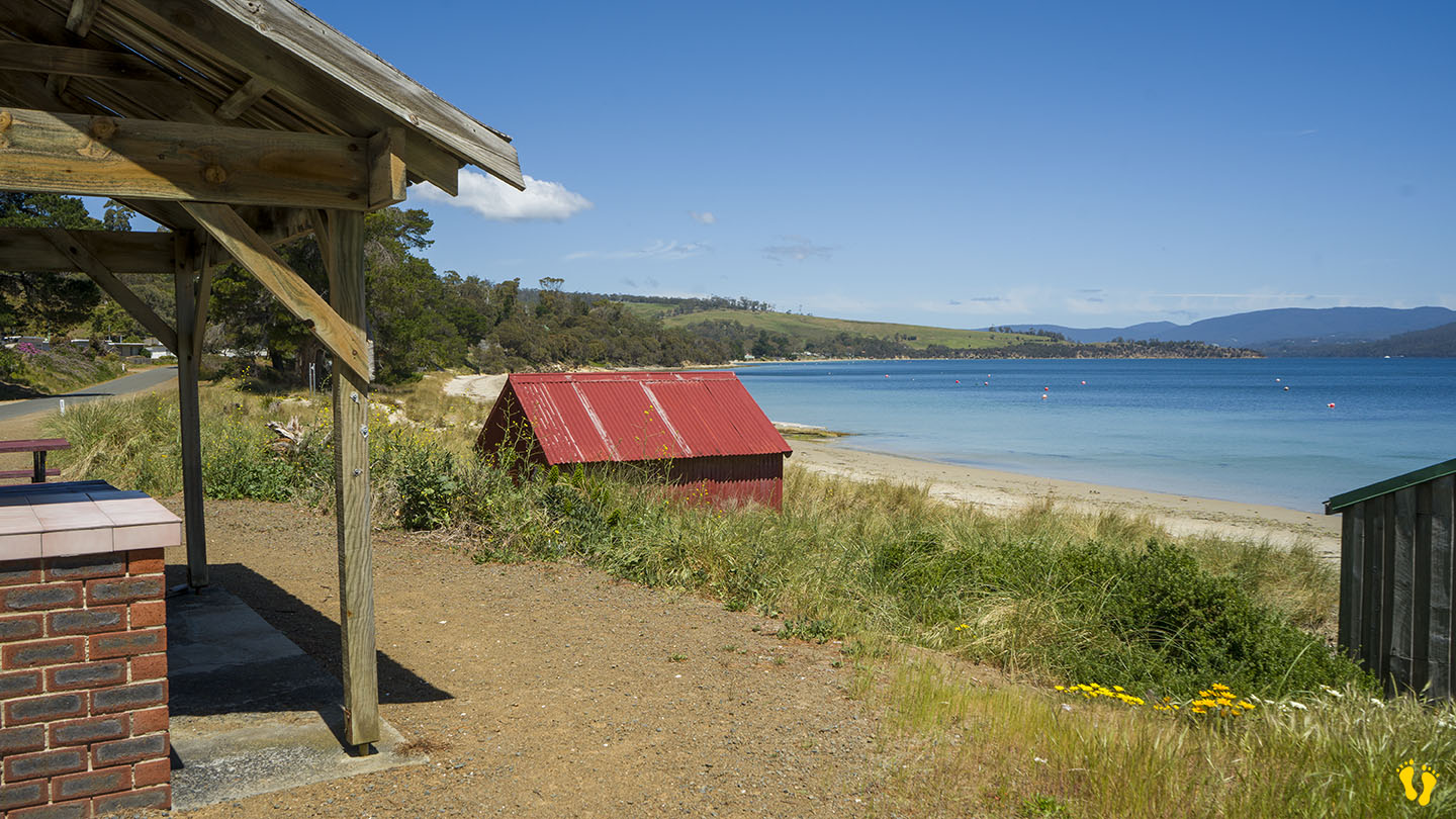
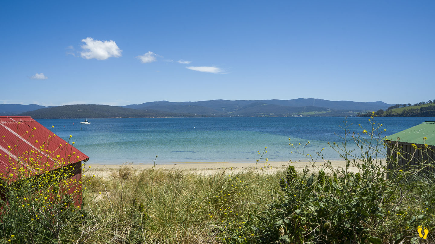
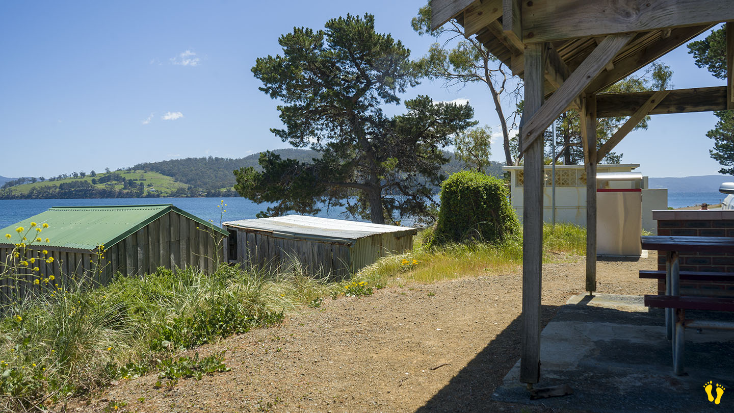
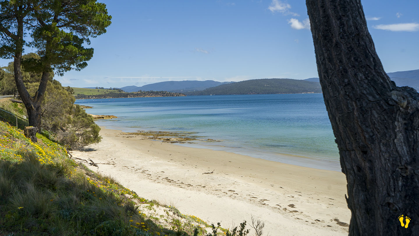
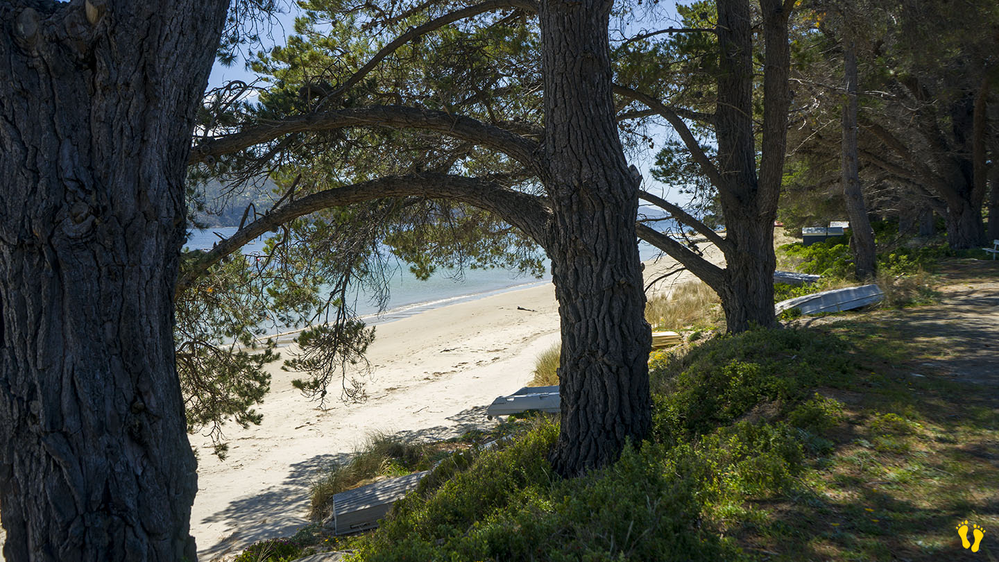
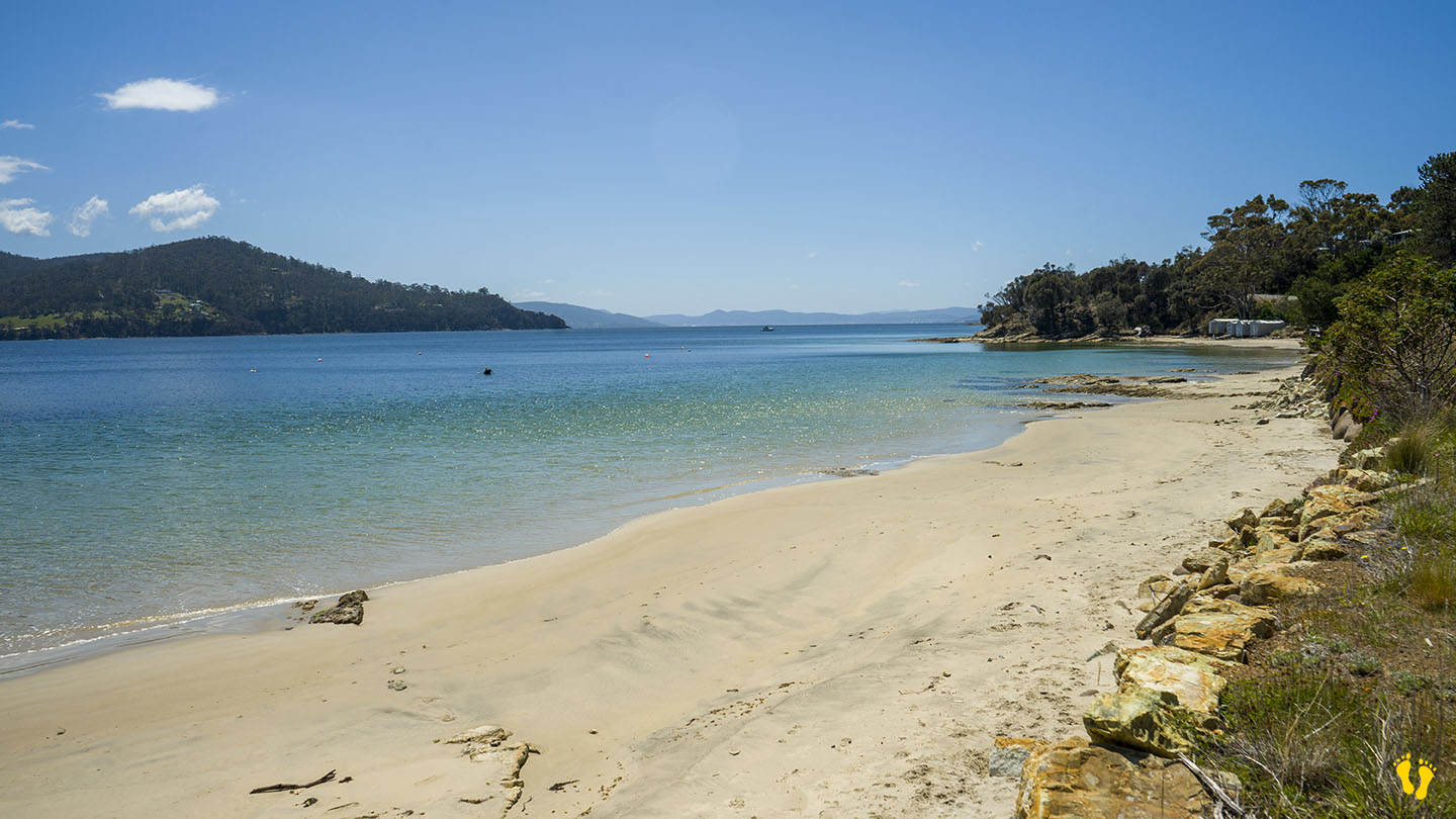
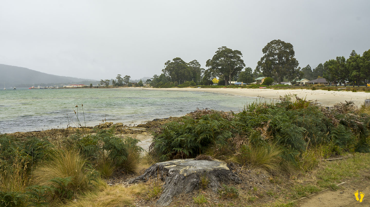
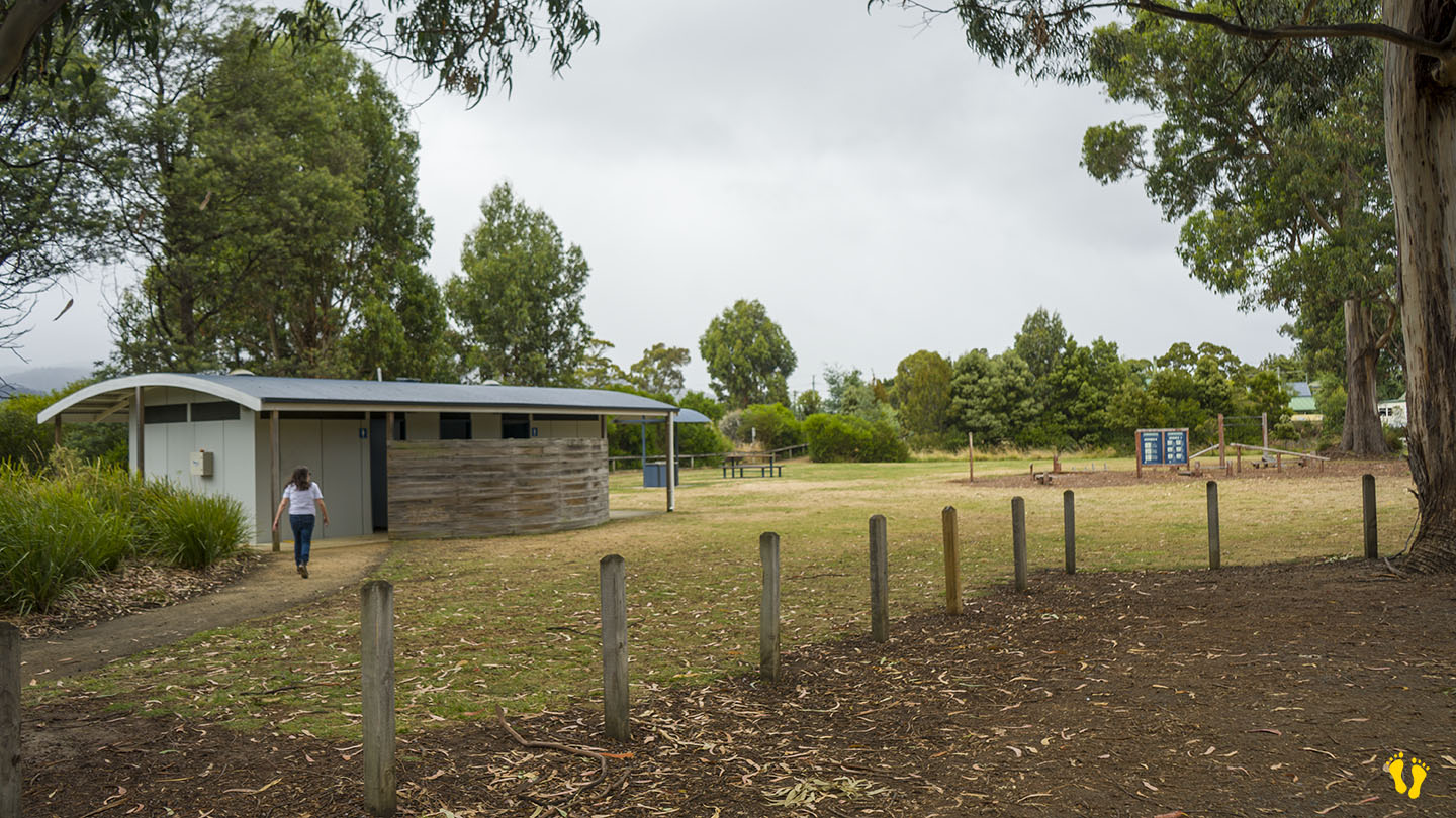
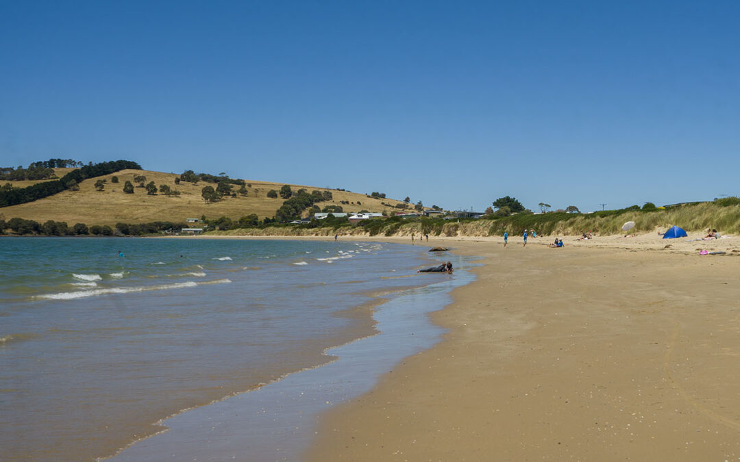
A great family beach with a sweeping gradual gradient beach. Amenities at the south end.
The name was changed to Cremorne from Pipe Clay in 1968 and named after Alfred Morrisby’s wife’s former home in Sydney.
Remnants of the SS Nubeena shipwreck are still visible at low tide.

by Mickey Jarvis | Nov 23, 2024 | Bruny Island
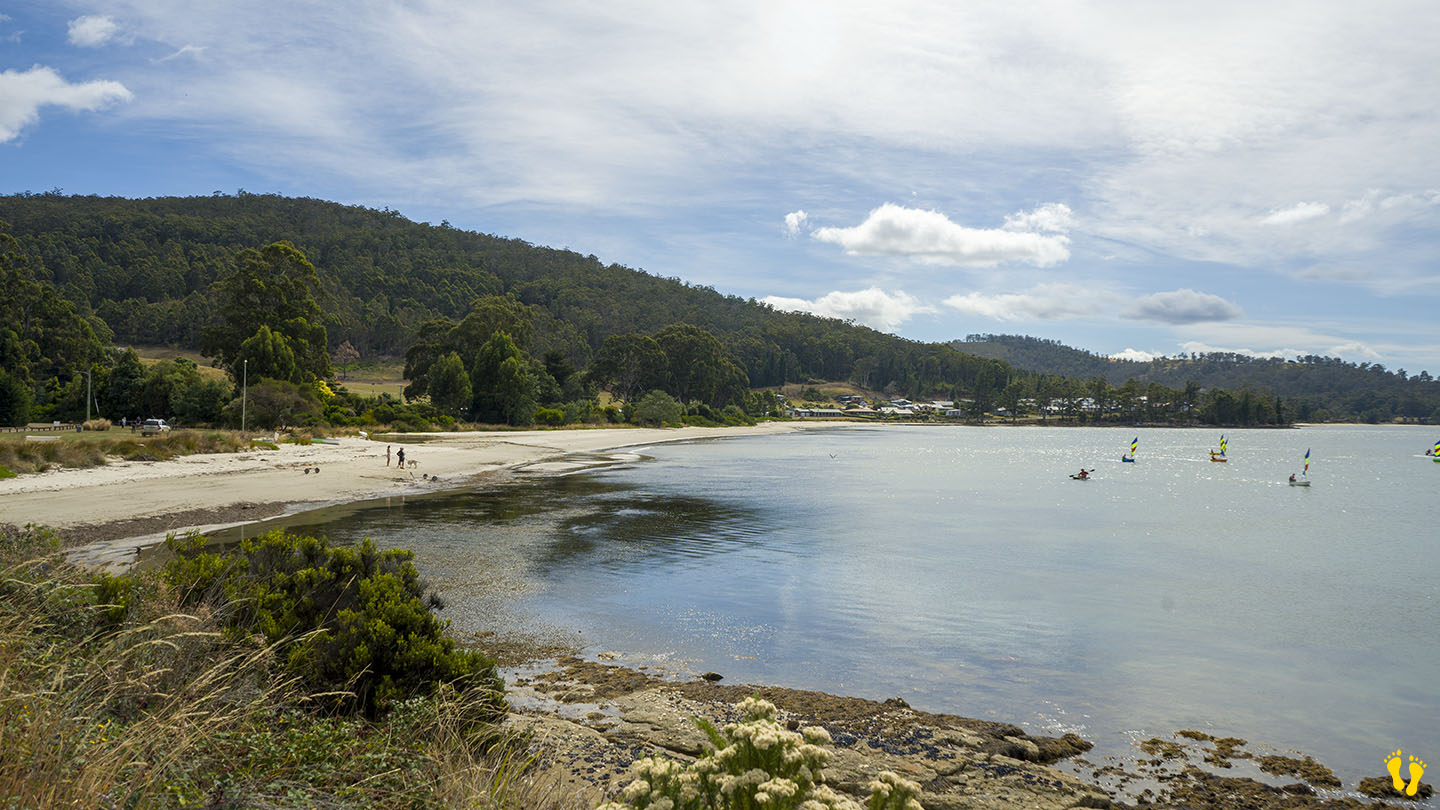
Bruny Island | Hazard Rating: 2/10 | Parking: Good + close | Faces: Nor-west | Length: 2-3 km
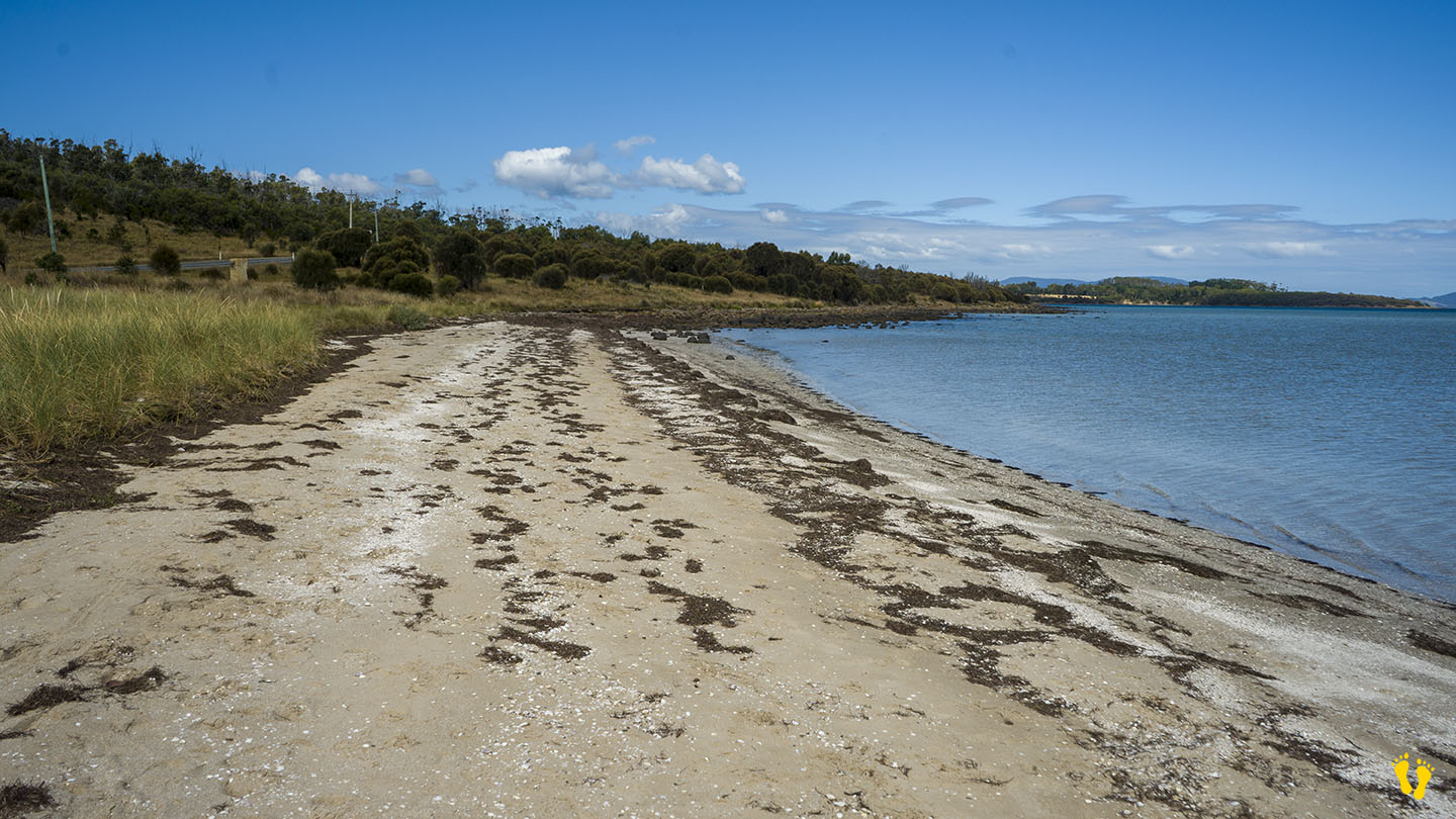
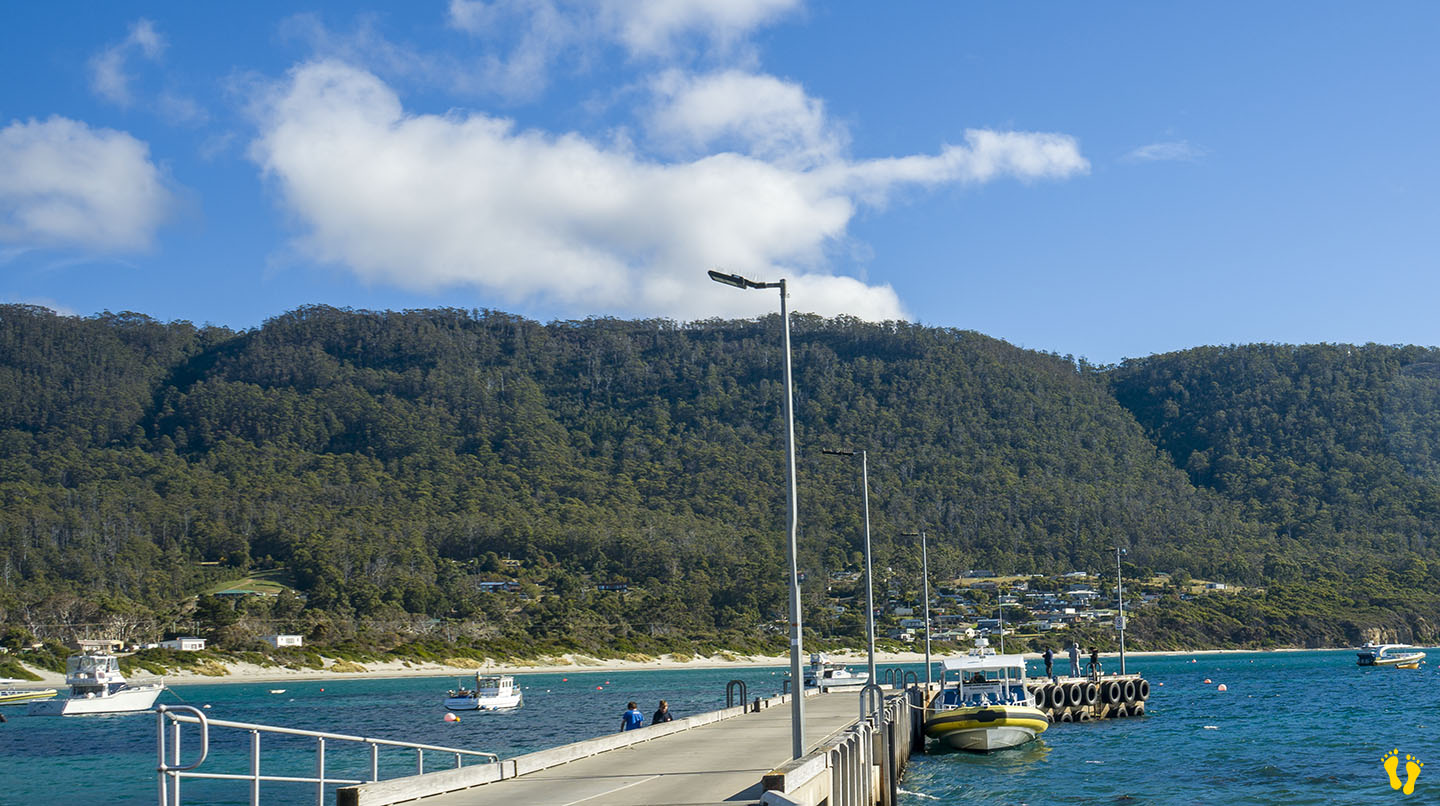
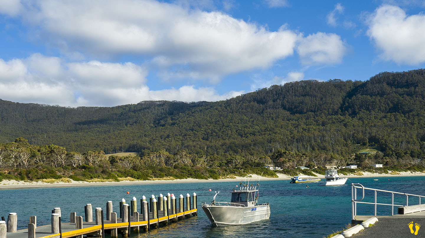
Dennes Point is situated on the northern end of Bruny Island and includes Jetty Beach and Nebraska Beach
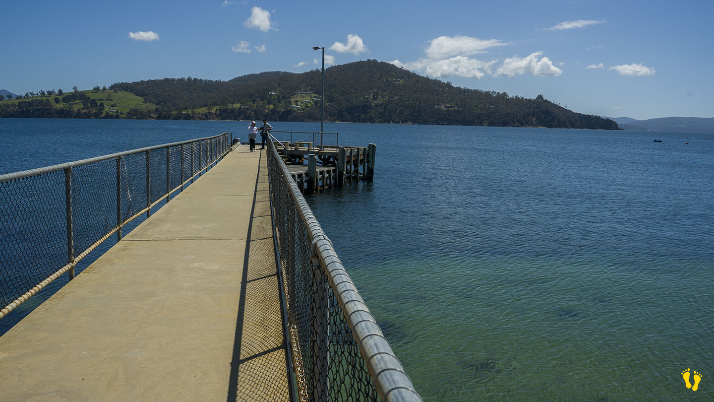
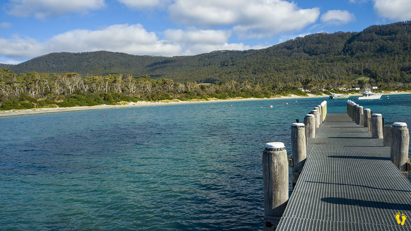
Jetty Beach is a short beach at the northern end and surprisingly has a jetty (and boat ramp).
Nebraska Beach is south of Jetty Beach and is a long, usually safe beach with toilets and BBQ at the north end. A beautiful beach ideal for kids and families.
Views of Conningham, Tinderbox and North West Bay across the D’Entrecasteaux Channel.
It was named after the Denne family who settled the area as farmers in the 1830s. It was originally known as Kelly’s Point after pioneer shipmaster and harbour pilot James Kelly. Anthony Smith Denne commenced ferry service in 1847 across the D’Entrecasteaux Channel between Tinderbox and “Kelly’s” Point. The island is now serviced by a ferry between Kettering and Roberts Point. Over time Dennes Point has seen mixed agricultural activity, mostly orcharding and grazing.
by Mickey Jarvis | Feb 9, 2024 | Low Hazard, South
South past Huonville |
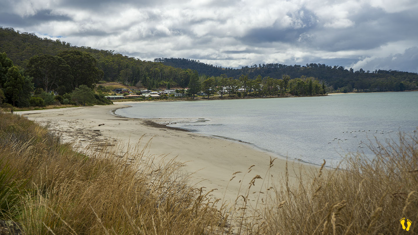
Hazard Rating: 1-2/10 | Parking: Good + close | from Hobart: 80 km | Faces: SE into Port Esperance | Length: 2 km
Original people: Lyluequonny people of the Far South
Dover Beach is accessed from the township of Dover, head down Station Road to the Esplanade and then Kent Road along its length.
Technically Kent Beach is separate from Dover Beach but I have grouped both beaches for simplicity.
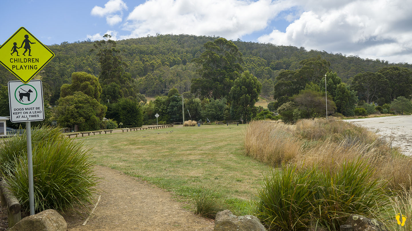
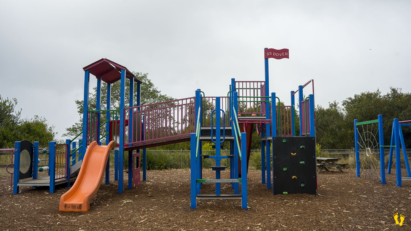
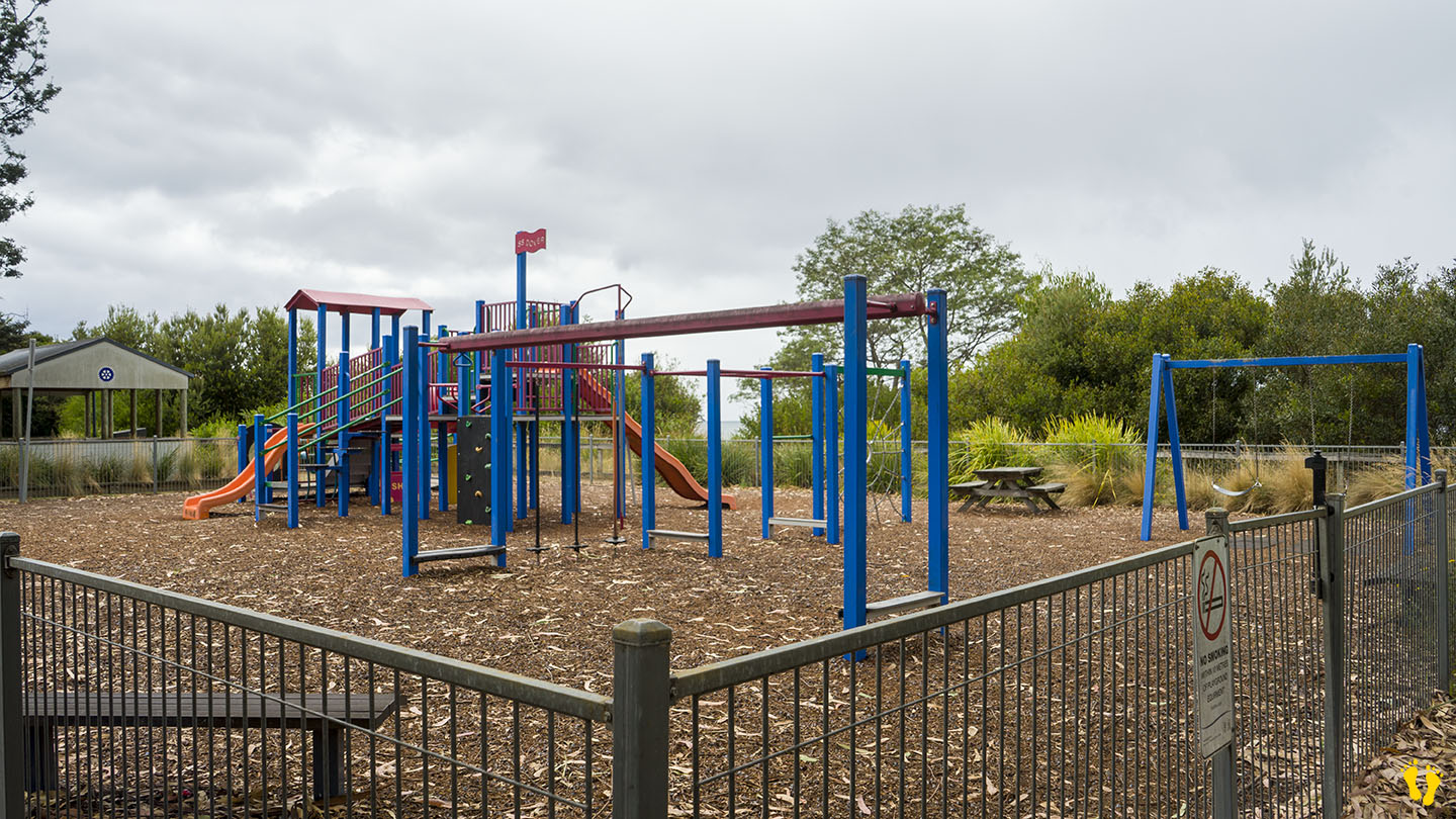
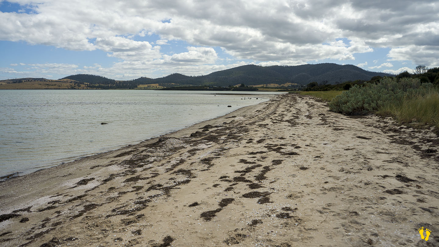
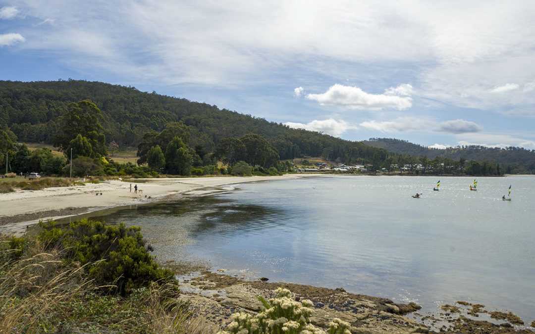
This is a long, safe beach with sandy areas and interesting shore rock formations for exploring. It is ideal for kids, and it includes a playground, BBQ, grassy areas, and toilets.
Dover was originally named Port Esperance by the French explorer Admiral Bruni D’Entrecasteaux, who charted the area in 1792 and named it after one of his ships. Originally used as a convict station and proclaimed as Dover in 1866, probably after the port of Dover in Kent, England. Dover is a Celtic word for ‘the waters’. The bay remains as Port Esperance. Dover developed as a port for shipping huon pine worldwide from its many sawmills and became an important fishing port for salmon, abalone and crayfish.
3 islands can be viewed from its shore, Charity, the closest and to the right. Faith – the smallest (originally Dead Island) and Hope, the furthest and largest (about 4 km wide), each have their interesting history. A camping, caravan and cabin park is opposite the beach.
by Mickey Jarvis | Mar 16, 2023 | South East, Tasman Peninsula
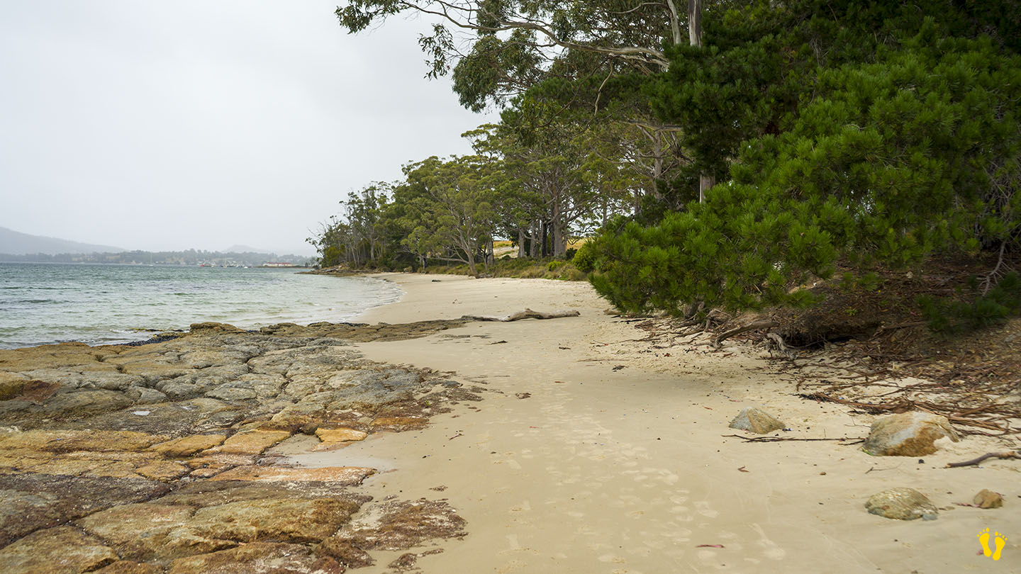
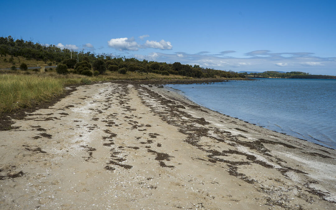
Hazard Rating: 1/10 | Parking: Good + close | from Hobart: 60 km | Faces: SW into Norfolk Bay | Length: 2 km
1 km just past Dunalley is Dunalley beach (south end called Carlisle Beach). The beach has a gradual beach shore and is great to explore particularly on a low tide. Close to main road with parking at the south end. Grab a takeaway from one of the excellent food venues in Dunalley and sit on the beach to eat.
Originally named East Bay Neck, the small settlement was changed to Dunalley in 1839 by an early settler after Henry Prittie, the third Baron Dunalley – a title from County Tipperary in Ireland. Located on the Arthur Highway on a narrow isthmus which separates the Forestier and Tasman Peninsulas.
Overlooks Fulham Island to the north and Smooth Island to the south.
by Mickey Jarvis | Mar 31, 2024 | South East, Surf, Tasman Peninsula
Pirates Bay – South East Tasmania
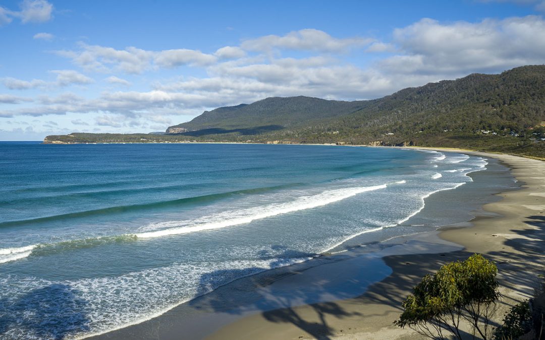
Hazard Rating: 6/10 | from Hobart: 75 km | Faces: East into Pirates Bay | Length: ~ 4 km
Original name: Teralina | Original people: Nuenonne |
Eaglehawk Neck is an isthmus (neck) on the way to Port Arthur. Eaglehawk Bay is on the neck’s west side, and Pirates Bay is on the east side.
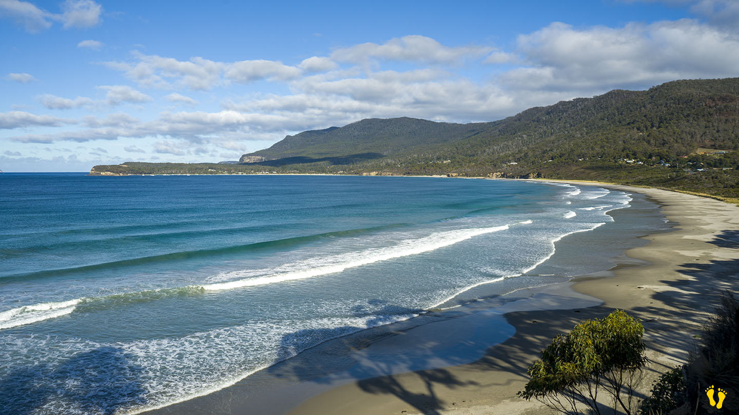
The east side has a wonderful sweeping beach with white sand facing out into Pirates Bay – the Tasman Sea and the next stop – New Zealand. Various access points and parking along its length. Toilets are at each end and an excellent boat ramp on the south end.
The beach has several headlands creating overlapping beach names, including;
- Eaglehawk Neck Beach | Pirates Bay Beach | Egg Beach | Quarry Beach | Descent Beach
The beach often has surf, generally better on the north end and more protected on the south end near the Blowhole. The north end has the Tesselated Pavement area, a geographical marvel worth a look. Views of Fossil Island on the south end, a whole new mystery!
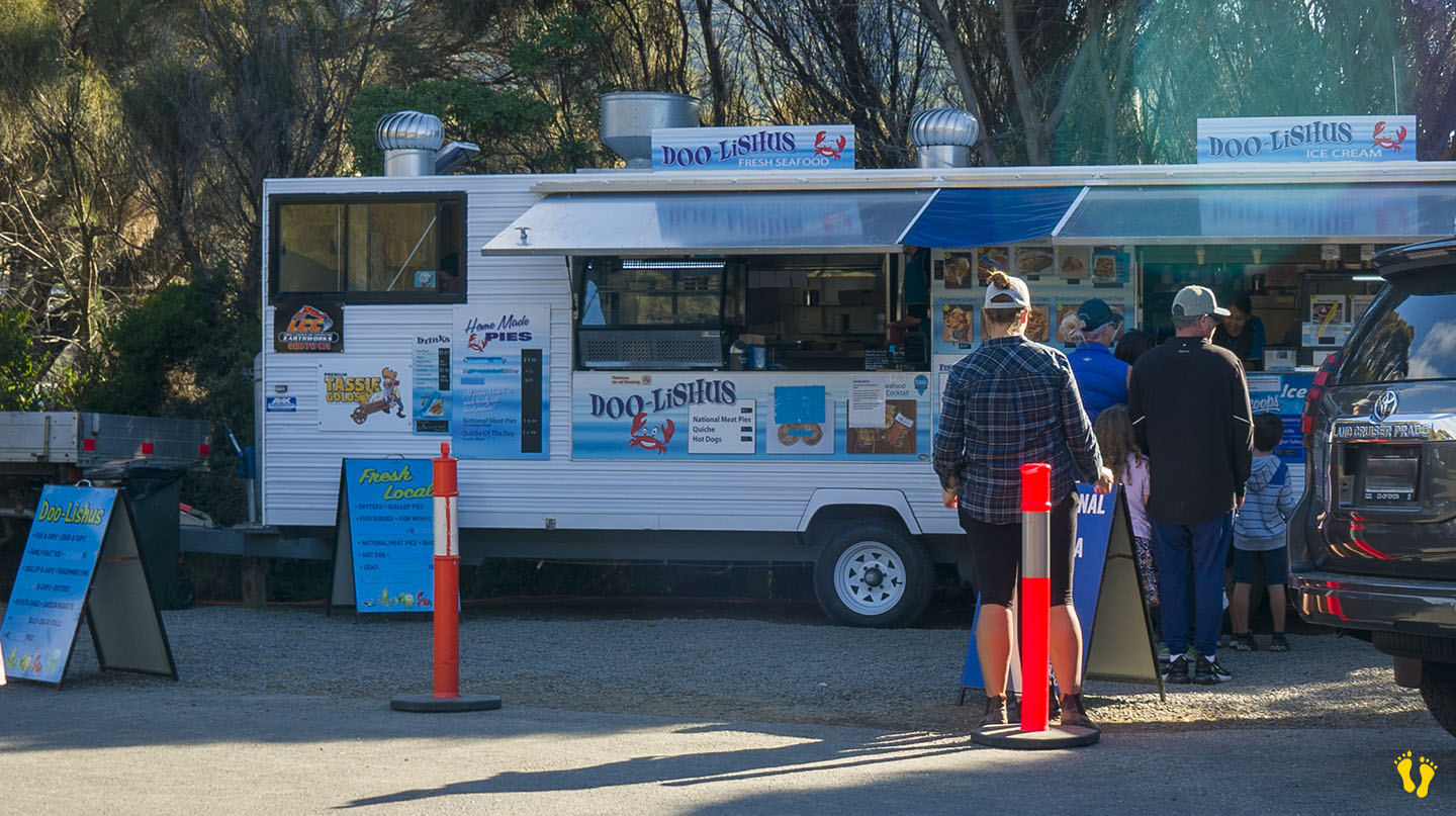
Great seafood takeaways at Doo-lishus near the blowhole on the south end (closed in winter). Food and accommodation can be found at the Lufra Hotel.
The name Eaglehawk Neck combines Eaglehawks (Wedge-tailed Eagles) found in the area and its geographical Neck.
The south end has a quirky town named Doo Town after properties each with a name called Doo-Something. In 1935, Hobart architect Eric Round started a tradition when he named his shack Doo I. The idea soon caught on with most of the town’s shacks now having “Doo” names – the likes of Doo Nix, Make Doo, Much-a-Doo, Doo-Me, Doo-Us, Just Doo It, Doo Drop Inn, Dr Doolittle, Make Doo, Gunnadoo, etc… you get the drift!
‘Teralina’ was the Aboriginal name for Eaglehawk Neck. Pirates Bay was originally named Monge Bay by French explorer Baudin but was later renamed around 1822 when escaped convicts took possession of a transport ship called the Seaflower and thus became pirates!