by Mickey Jarvis | Feb 28, 2025 | East Coast, Low Hazard, St Helens
Near: St Helens | from Hobart: 250 km | Launceston: 165 km |
Hazard Rating: 1/10 | Parking: Good + close | Faces: into Georges Bay | Length: 400 m
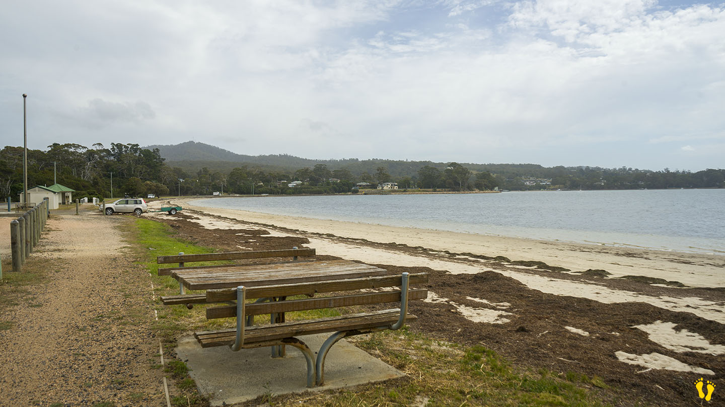
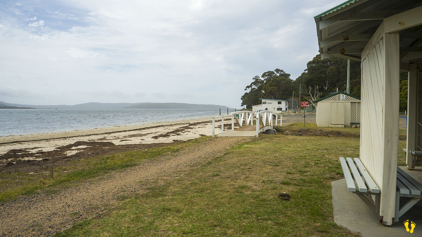
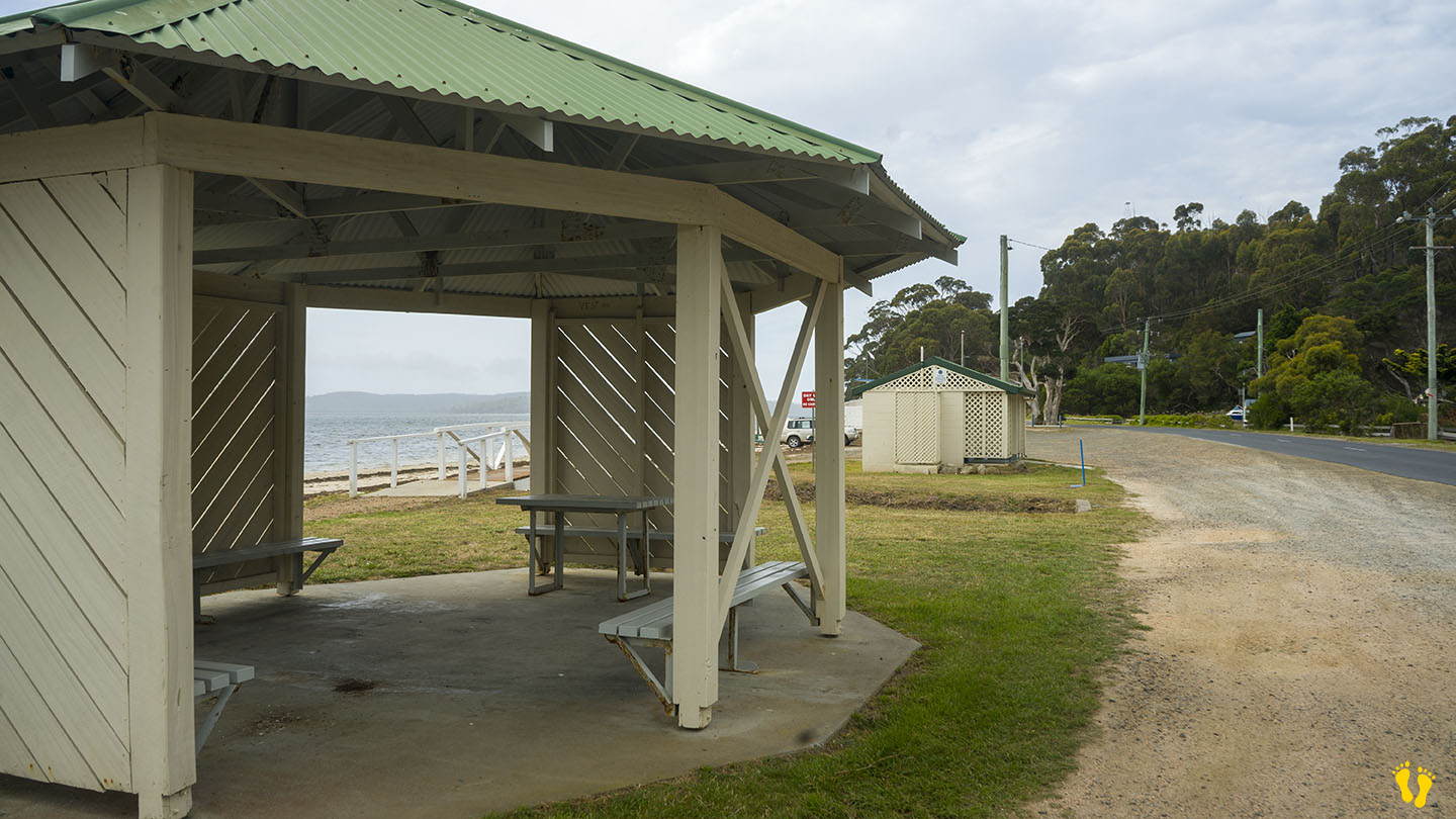
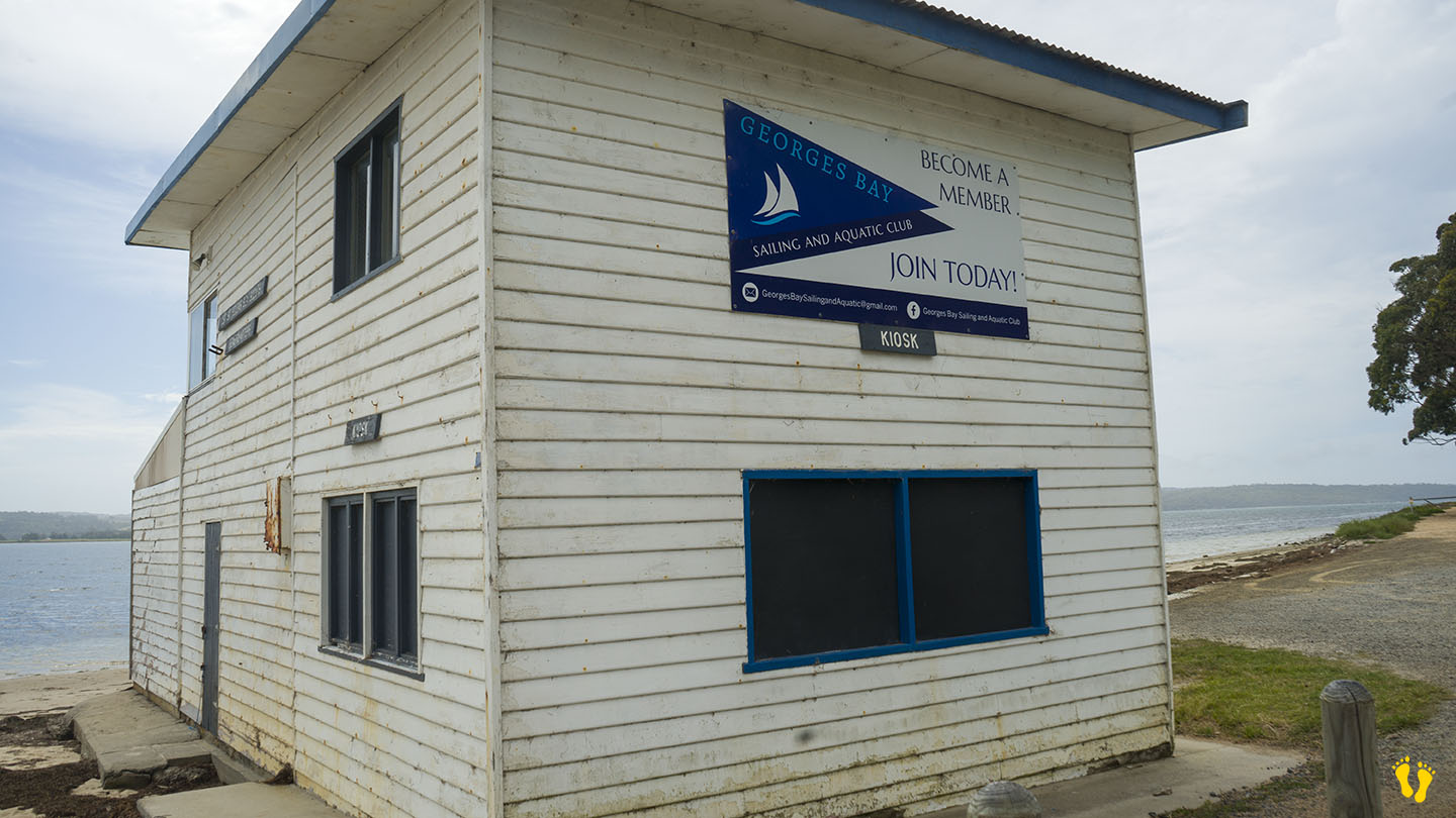
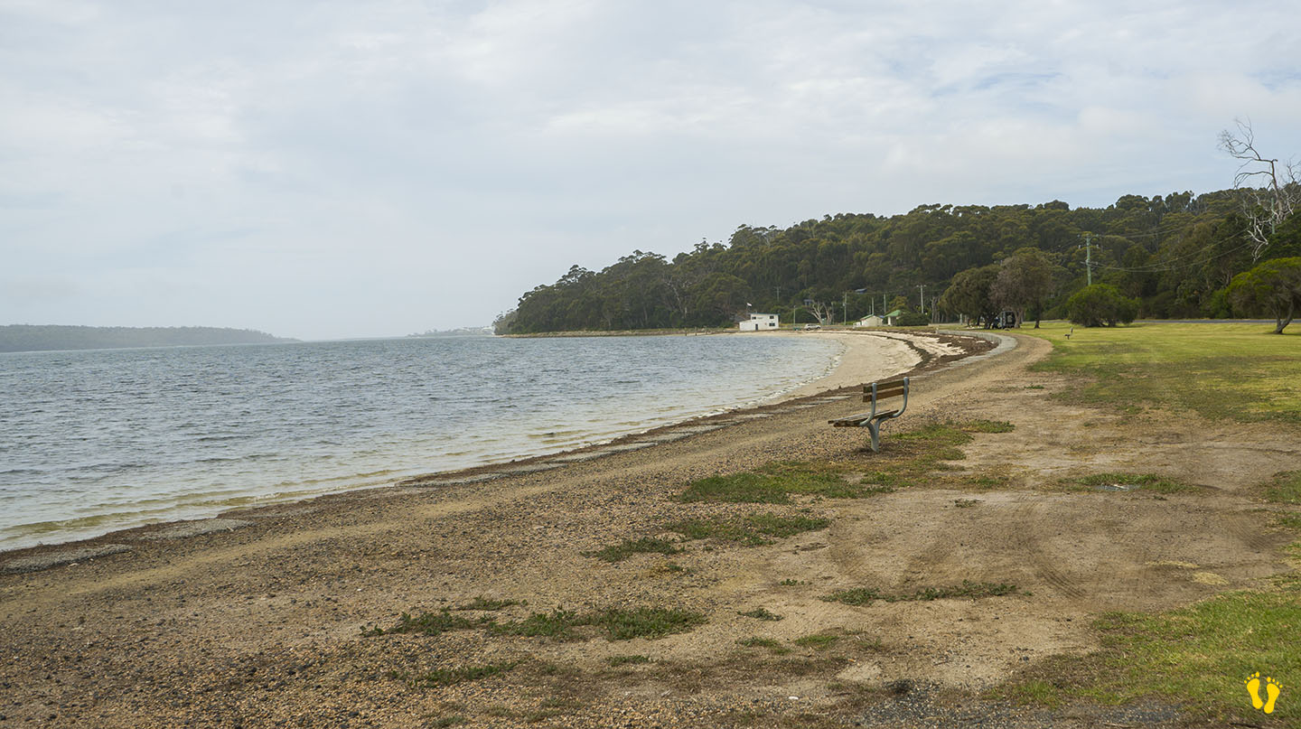
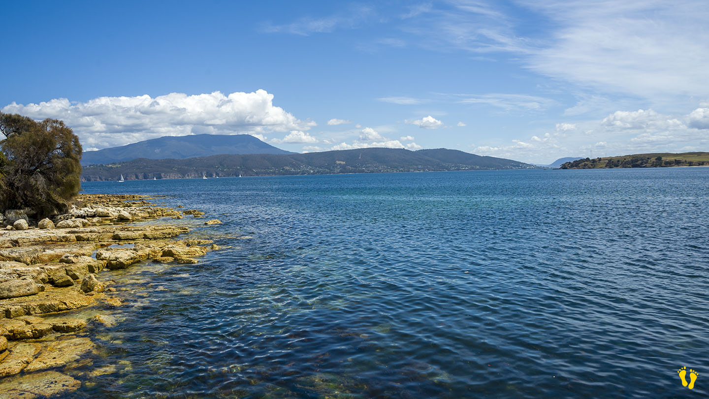
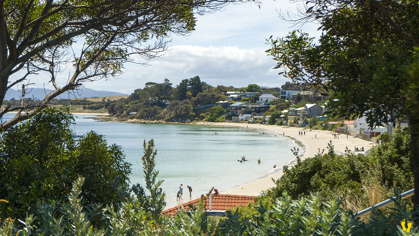
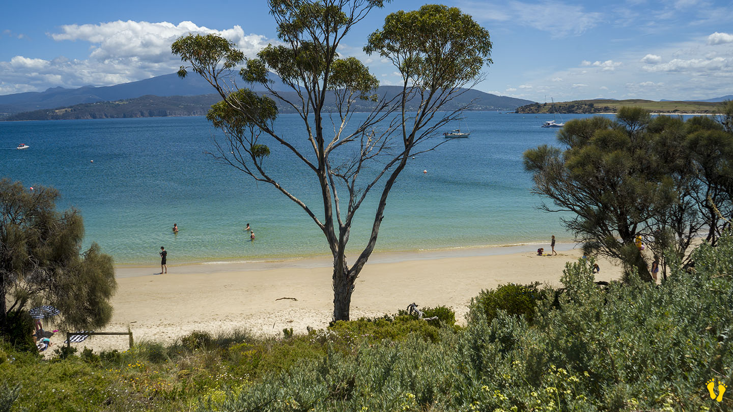
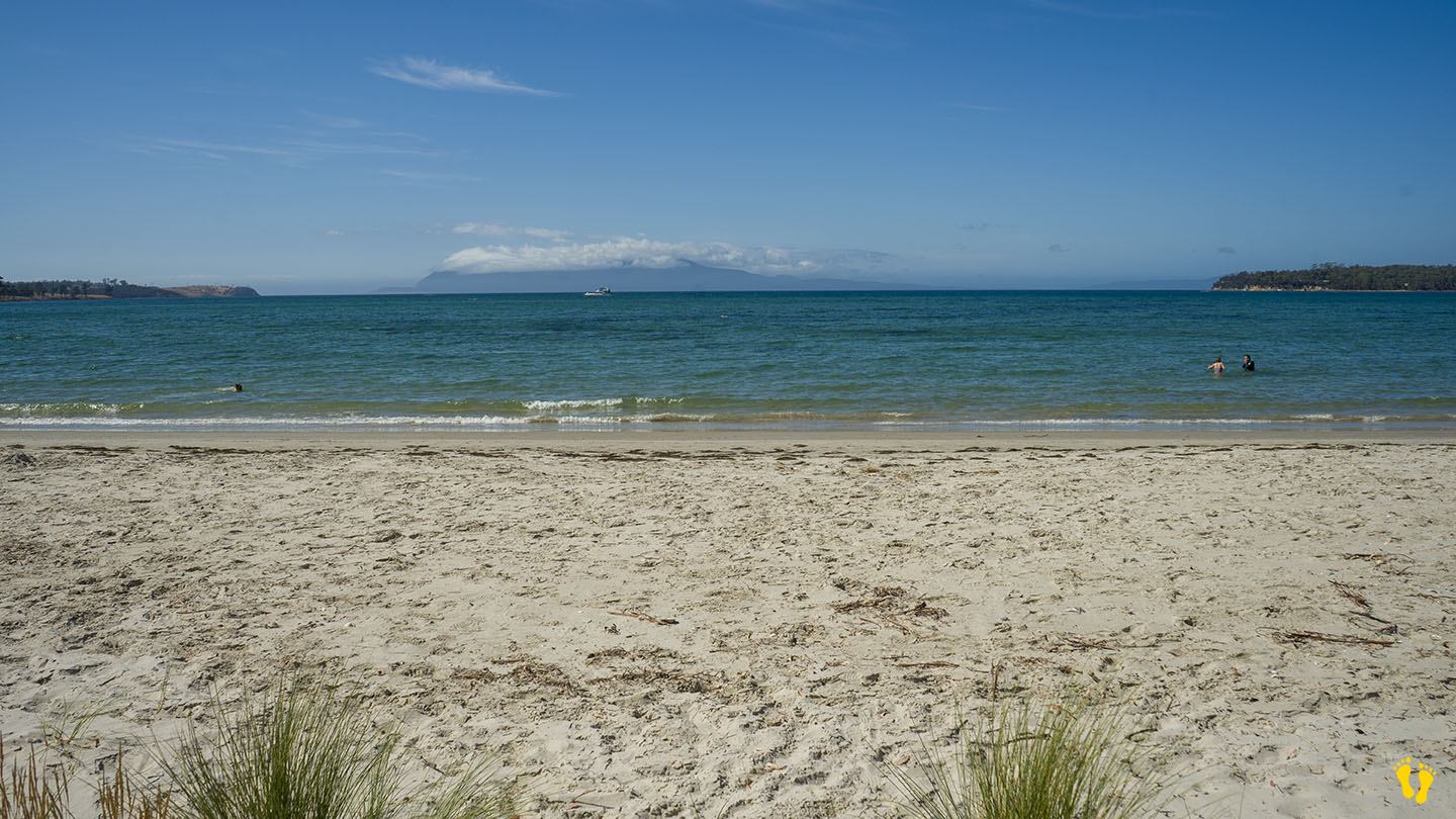
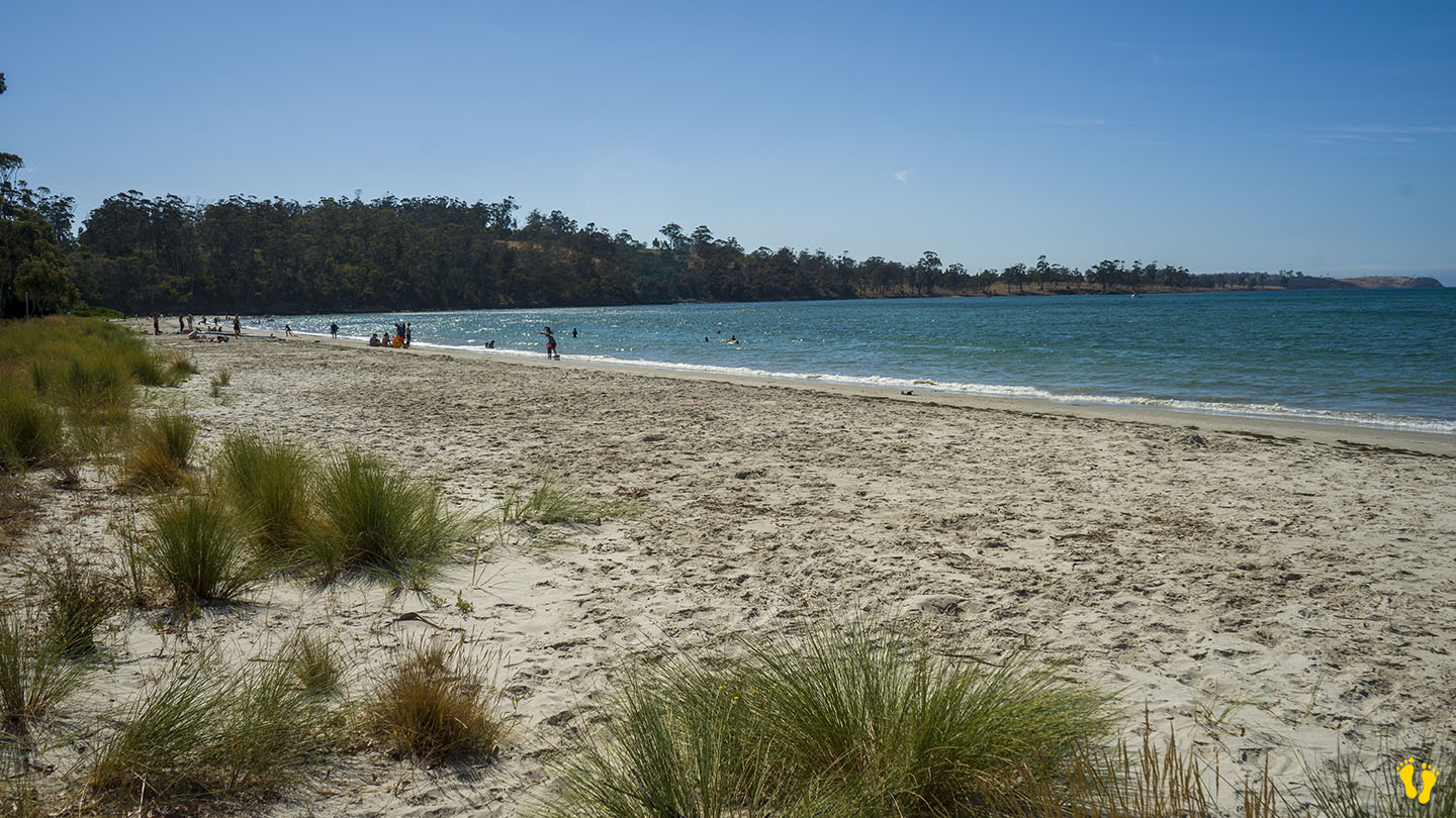
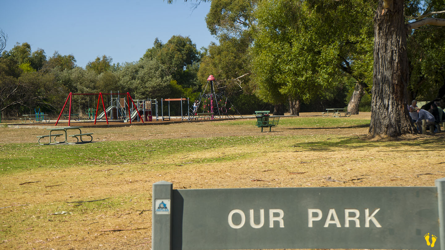
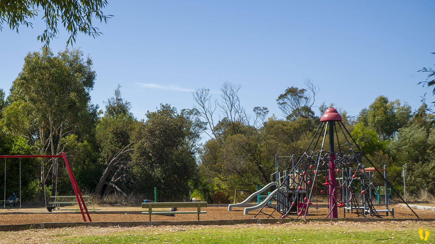
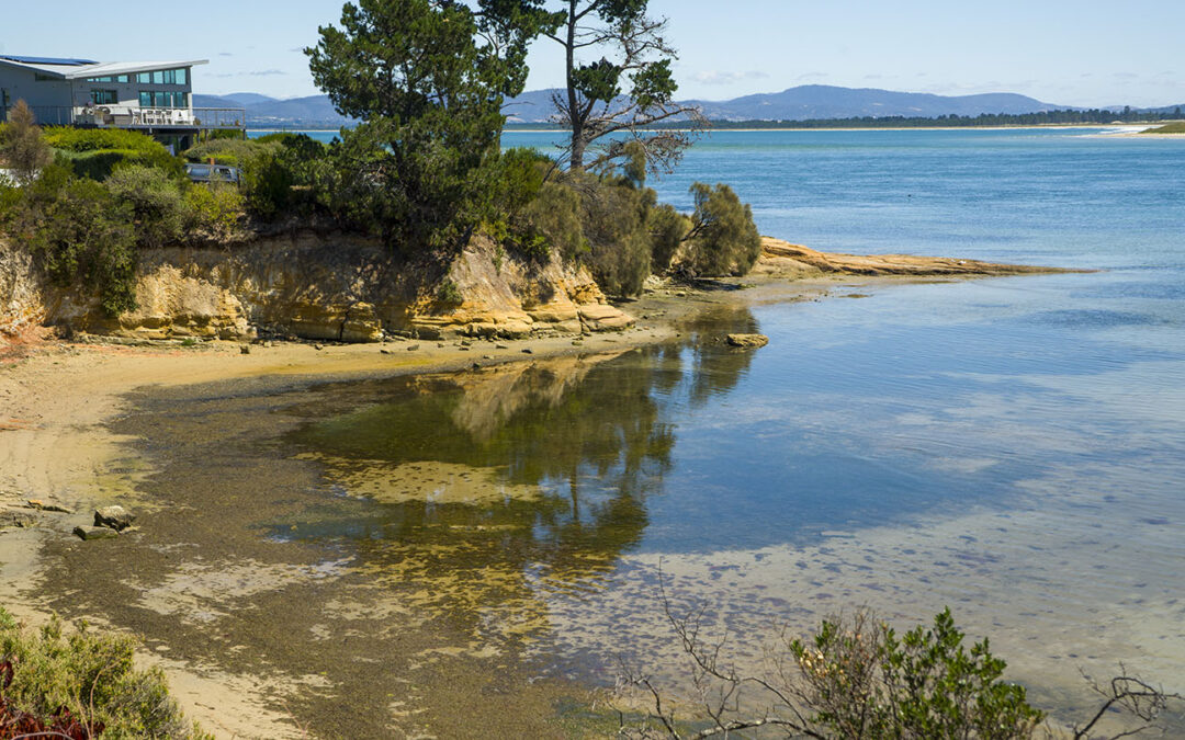
O’Connors Beach is situated in Georges Bay on St Helens Point Road.
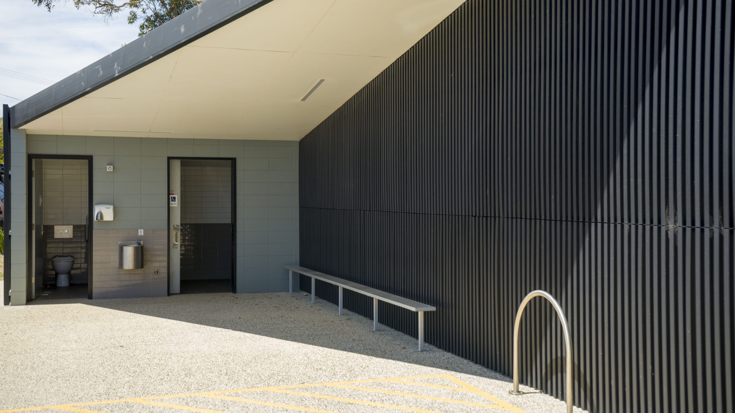
A safe beach to swim at, ideal for small kids. Good parking and toilets. Great for a picnic or a short walk.
The O’Connors Beach parkrun is a weekly free event – click here for more information.
Named after O’Connors Farm located in the area.
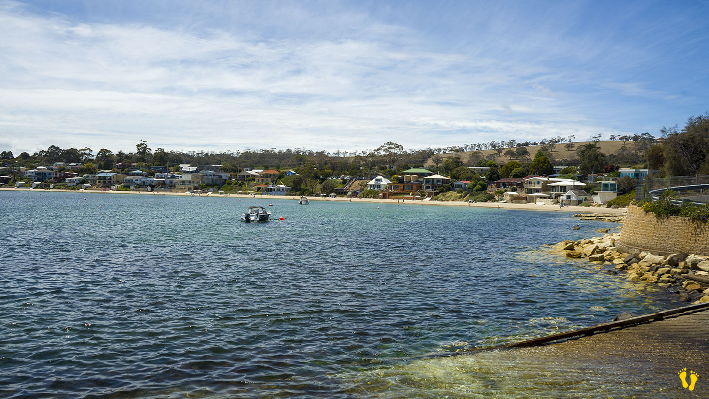
by Mickey Jarvis | Feb 5, 2023 | Dodges / Carlton, Low Hazard, South East
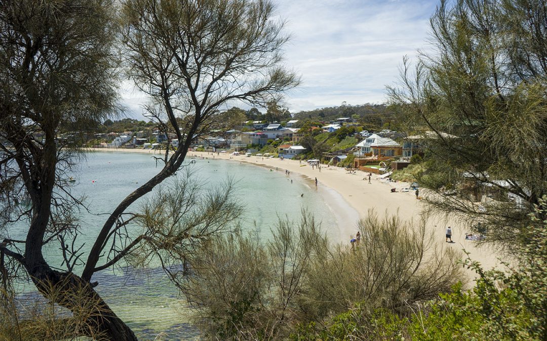
Near Dodges Ferry | Hazard Rating: Low | Parking: Varied | from Hobart: 24 km | Length: 2 km | Faces: West into Tiger Head Bay
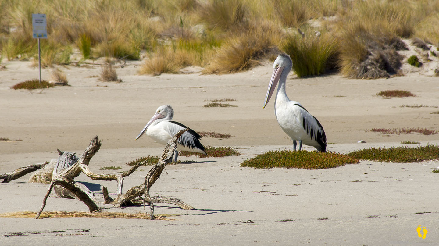
A protected beach in Dodges Ferry. The south end is great for kids to explore magical rock pools containing all sorts of sea life. Often has lots of birdlife.
Interesting rock formations and a shallow beach make it great to learn snorkeling. I have spent many hours with my children exploring the beach and rocks.
Named after Ernest Okines who leased the property in 1923 and purchased it in 1942. Views of Seven Mile Beach often with spectacular sunsets.
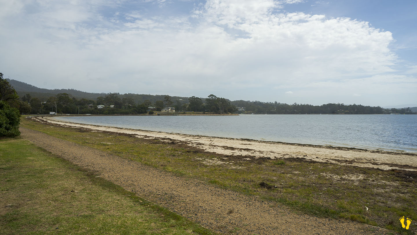
by Mickey Jarvis | Dec 28, 2023 | Low Hazard, South Arm Road, South East
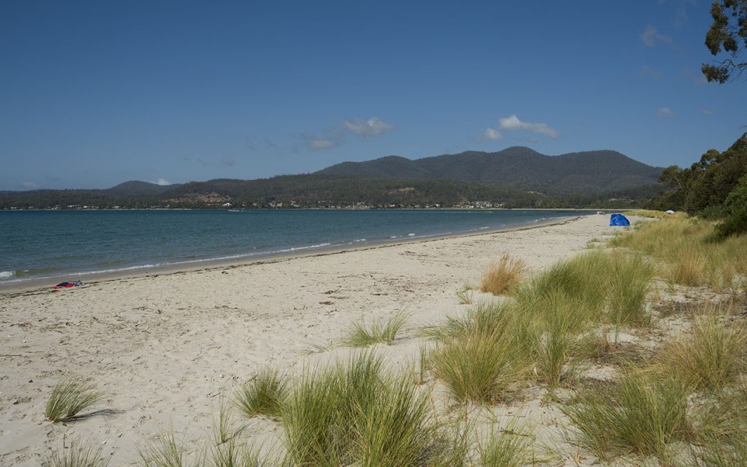
Hazard Rating: 2/10 | Parking: Varied | from Hobart: 49 km | Faces: West into the River Derwent | Length: 1 km
Original people: Moomairemener, believed to be members of the Paredarerme (Oyster Bay tribe)
Situated towards the end of South Arm road this is a picturesque well protected beach great for kids. Okay access with shops nearby.
Good boat ramp with jetty for swimming, jumping and fishing.
Named after the American sloop ‘Opossum’ which was chartered by the government under Harbour-Master Capt. John Welsh to conduct numerous surveys in the River Derwent and River Huon in 1827. Opossum if a North American marsupial a bit similar to our possum.
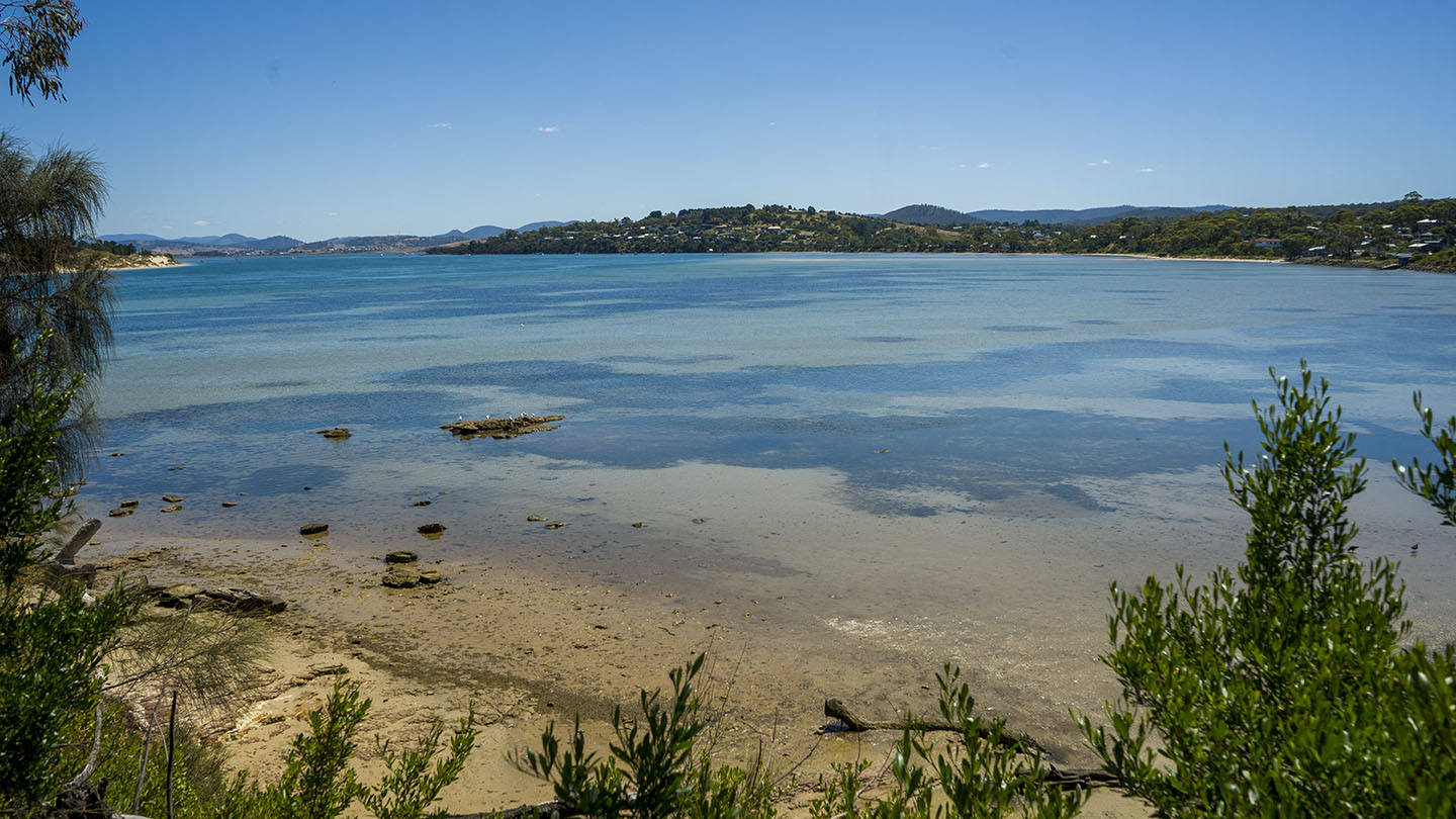
by Mickey Jarvis | Mar 9, 2024 | East Coast
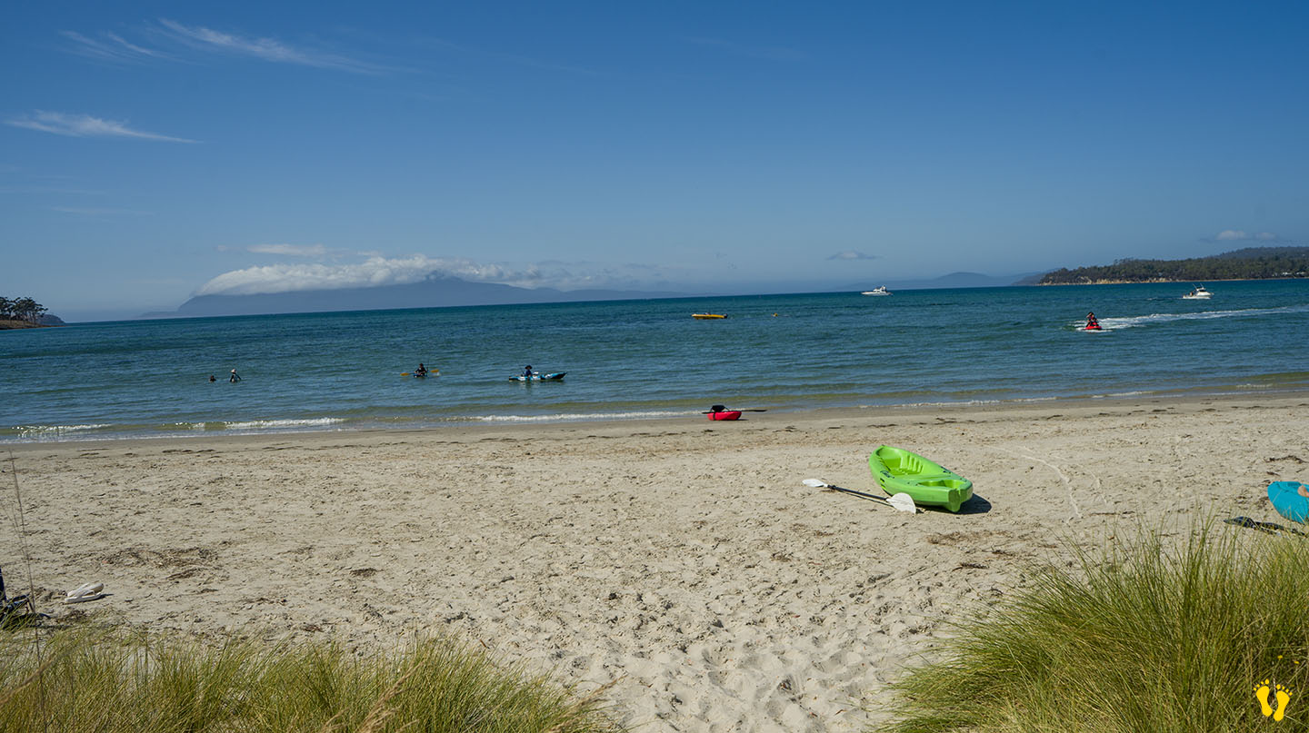
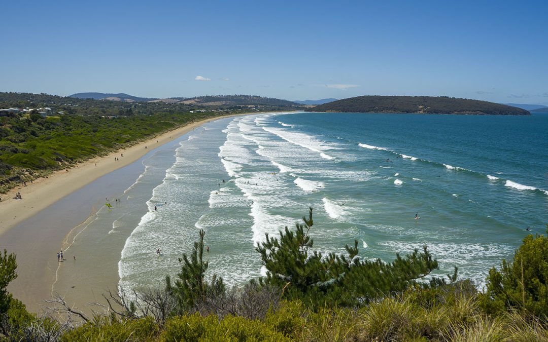
Hazard Rating: 2-3/10 | Parking: Good + close | from Hobart: 80 km | Faces: SE into Prosser Bay | Length: ~ 1km
Original people: The original inhabitants of the Orford area were the Paredarerme, also known as the Oyster Bay tribe. Historians estimate that they were the largest of the Tasmanian tribes. They tended to migrate inland during the warmer months but stayed on the coast in autumn and winter.
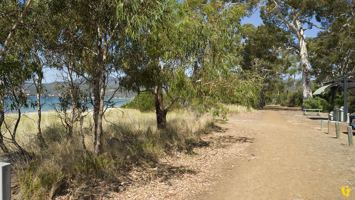
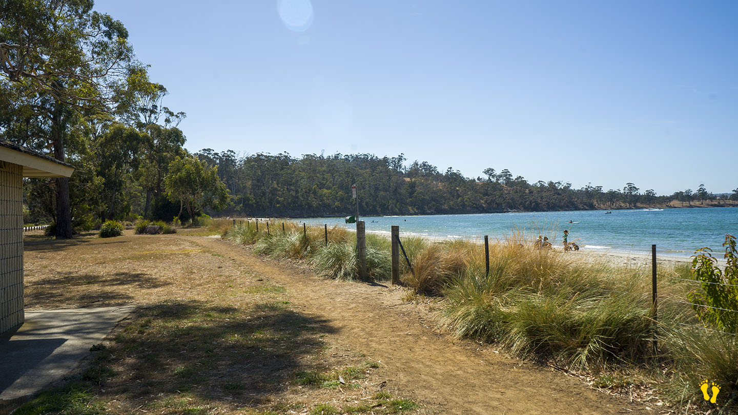
Raspins \ Orford Beach is just north of Orford on the east coast of Tasmania. A great beach – ideal for families, with views of Toarra-Marra-Monah (Maria Island).
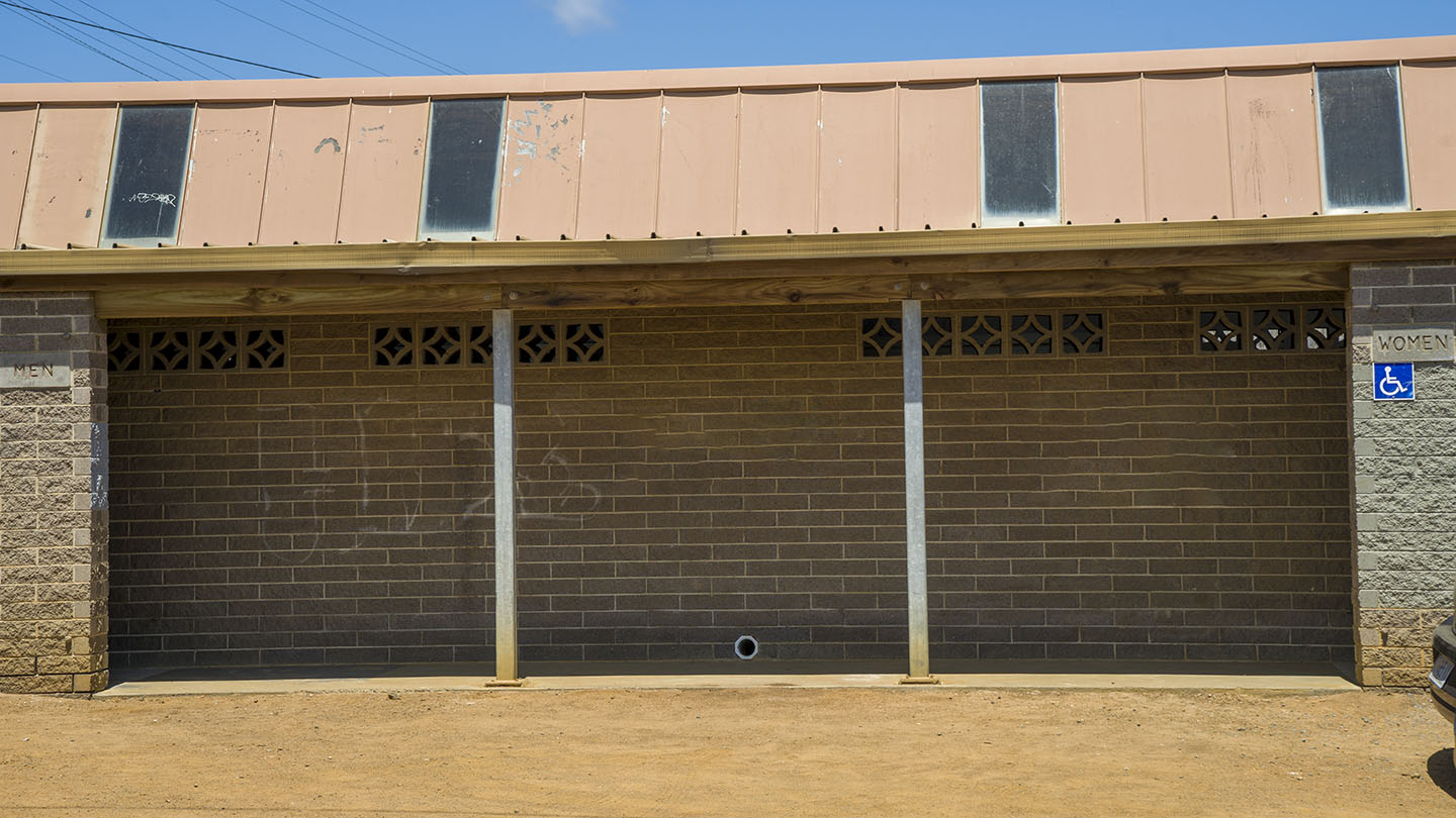
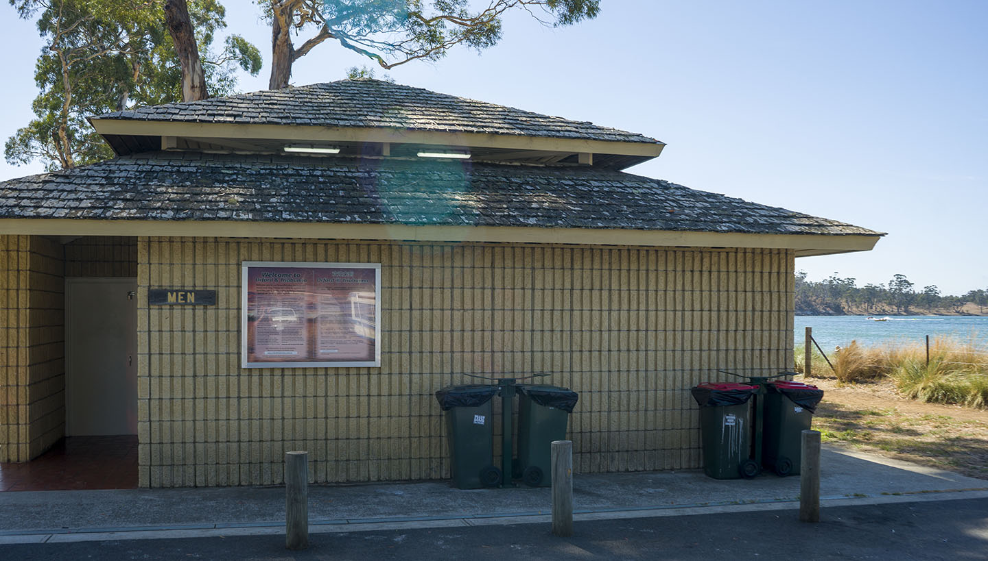
It starts as ‘Raspins’ on the north end and blends into ‘Orford Beach’ to the south, ending at the Prosser Rivermouth. Toilets mid beach and good parking from several entry points along its length. Alas, although I spent many a summer camping here – that is no more – it is now only a day visit area with BBQ’s, park and walk areas. If lucky you may see a whale in Prosser Bay.
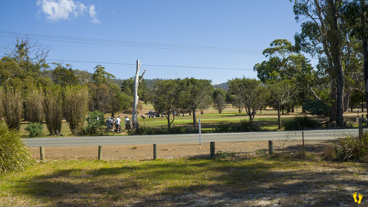
Originally named ‘North Beach’ it was renamed ‘Raspins Beach’ after a family who owned a farm opposite the beach. The farm was sold to become the golf club in 1957. Areas of the beach to the south are being regenerated and protected to encourage bird and fauna life including a bird sanctuary.
Orford comes from an English name made up of Old English – ‘ora’ (river bank) and ‘ford’ (river crossing), named after the Earl Orford.
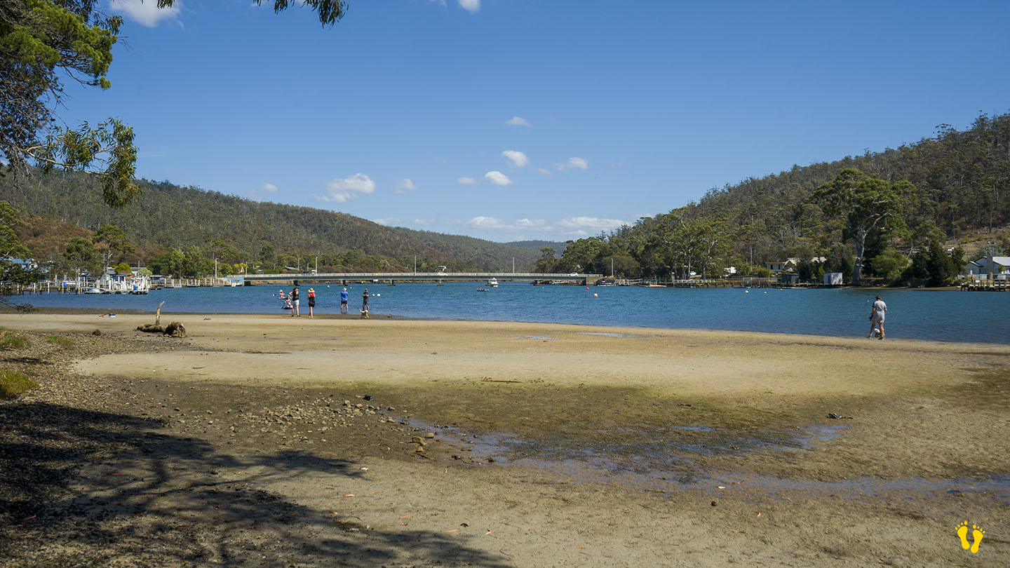
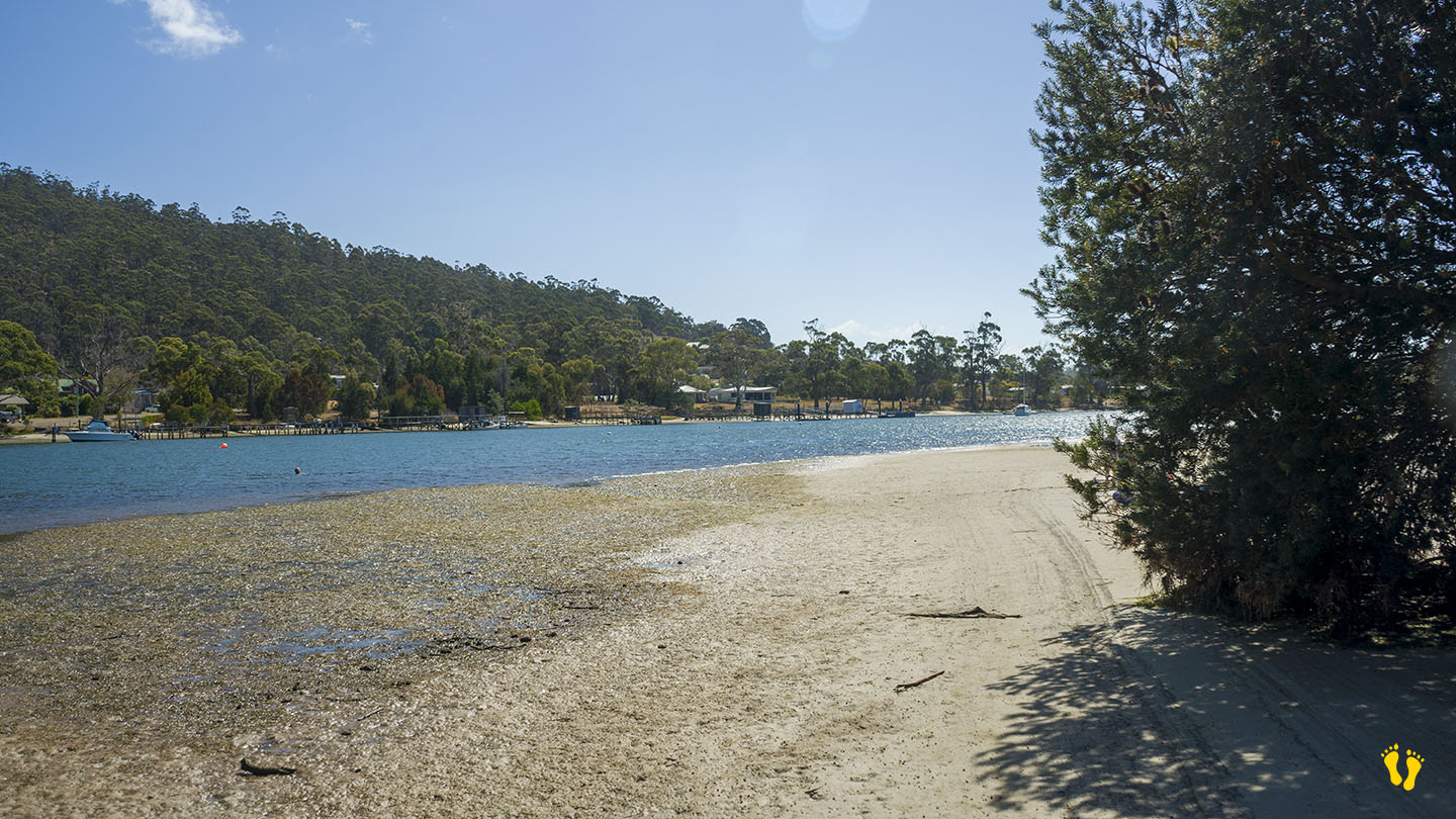
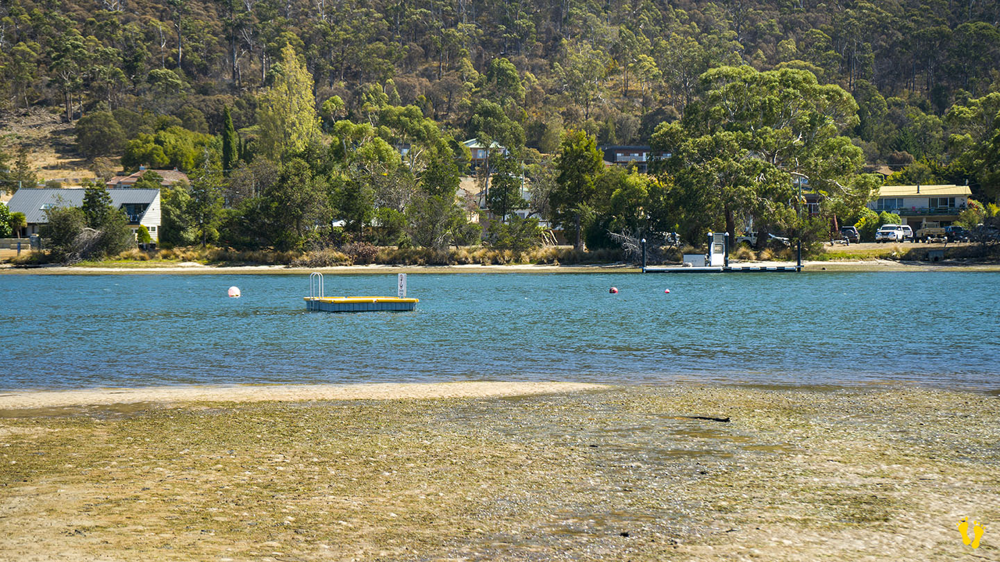
Crossing the bridge to the south and following the Esplanade takes you to another small beach in the Prosser River – not sure what this is called but it is well protected and includes a floating pontoon to swim to.
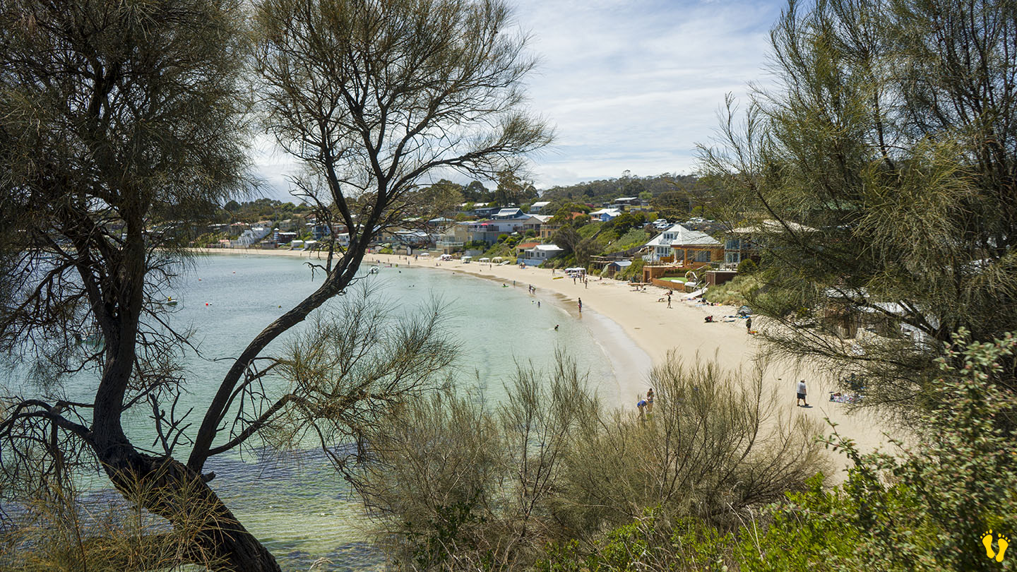
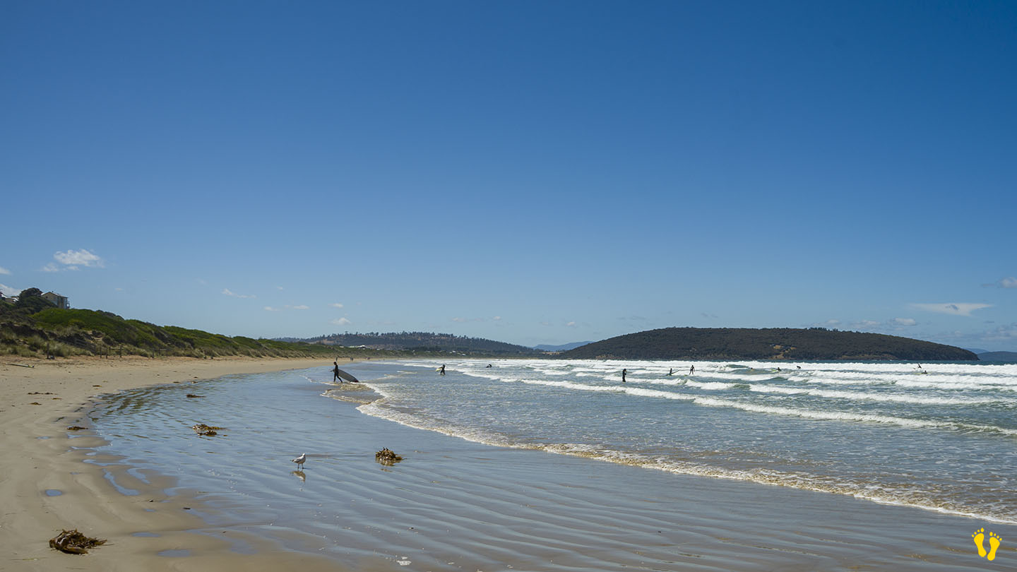
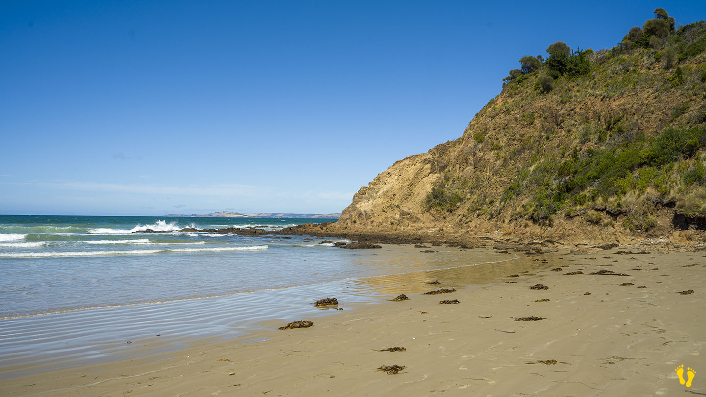
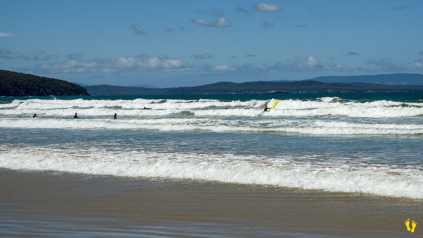
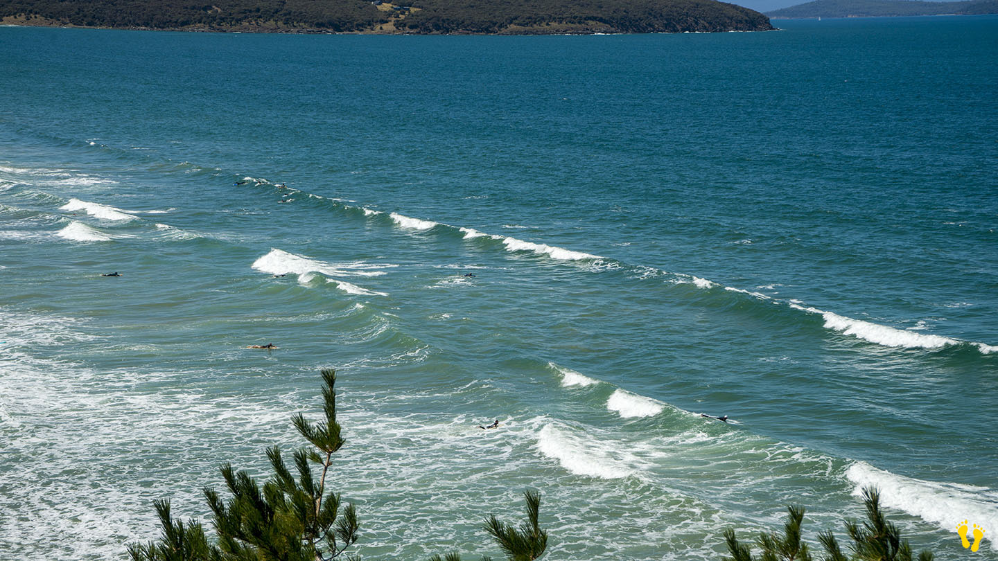
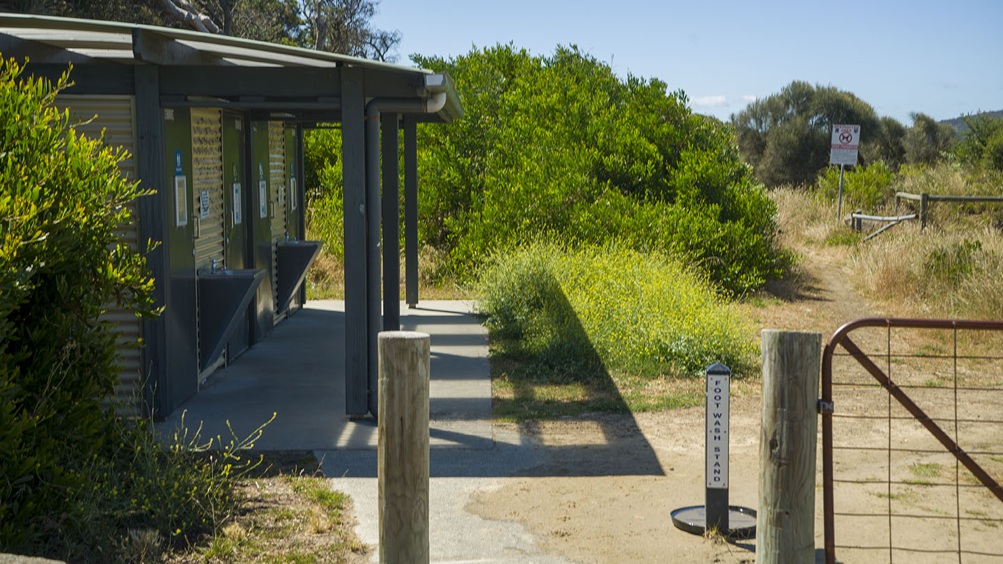
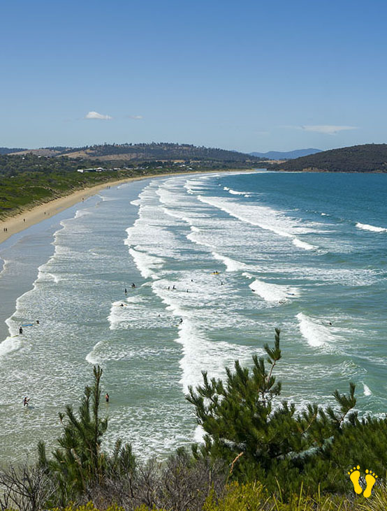
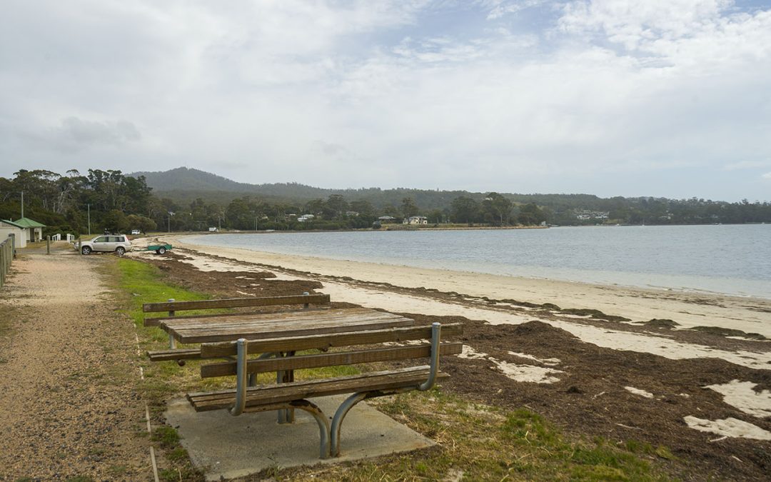
by Mickey Jarvis | Jul 13, 2024 | Dodges / Carlton, South East, Surf
Hazard Rating: 5/10 | Parking: Good + close | from Hobart: 30 km | Faces: South-ish into Tiger Bay | Length: 2.8 km
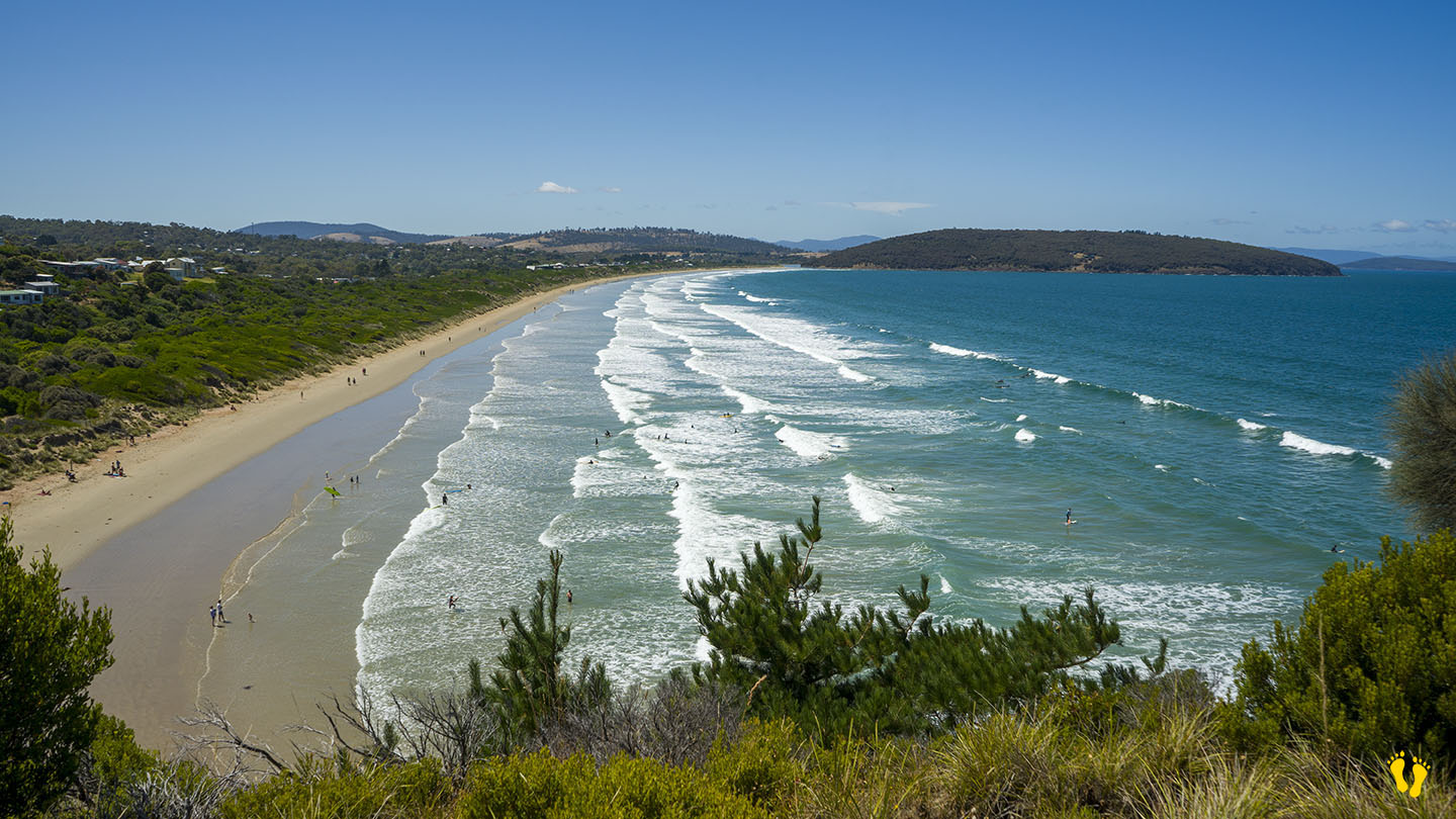
Park Beach is near Dodges Ferry in southeast Tasmania and is the western end of Carlton Beach.
A popular surf beach close to Hobart that offers a range of surf conditions.
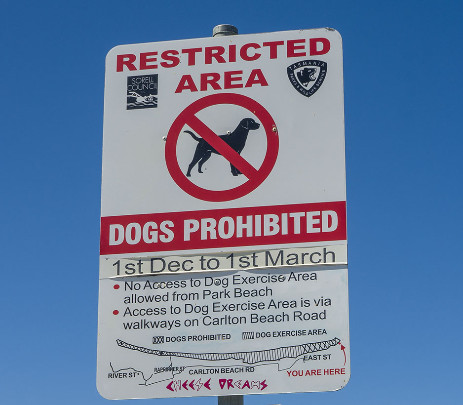
Historically, it was a patrolled beach with a surf club, but it appears no more. The east end (Carlton) is still patrolled.
Ideal for surfers, board riders, body surfers and boogie boards. Smaller surf conditions are better for beginners.