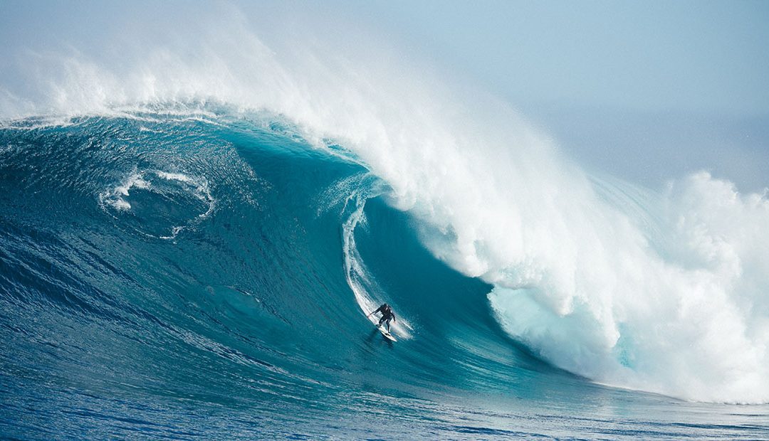
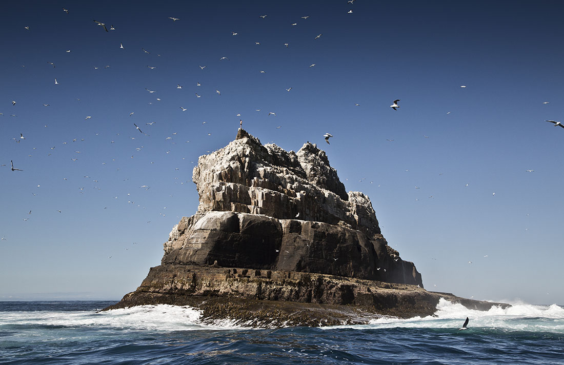
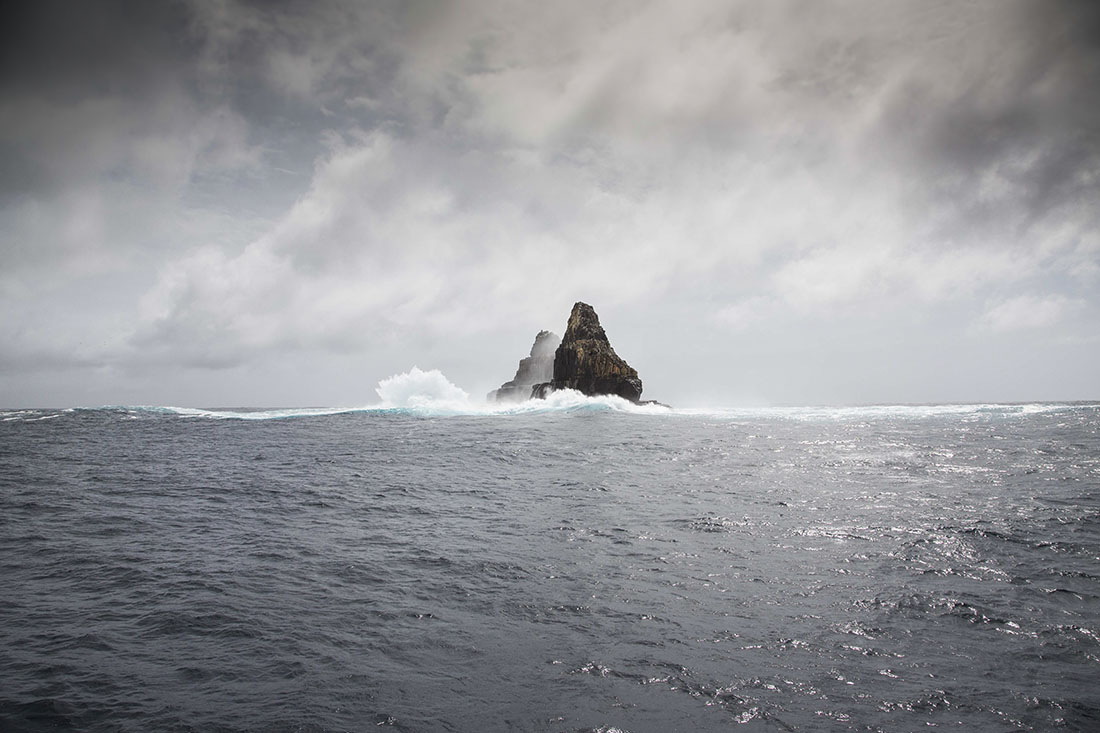
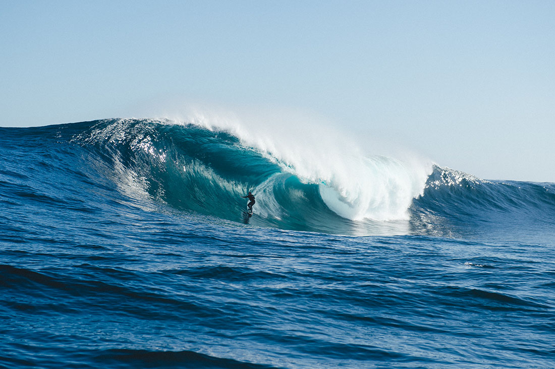
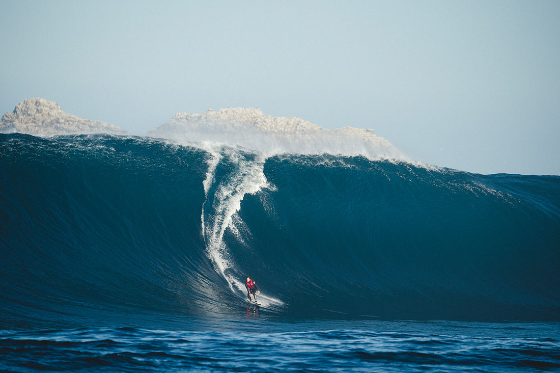
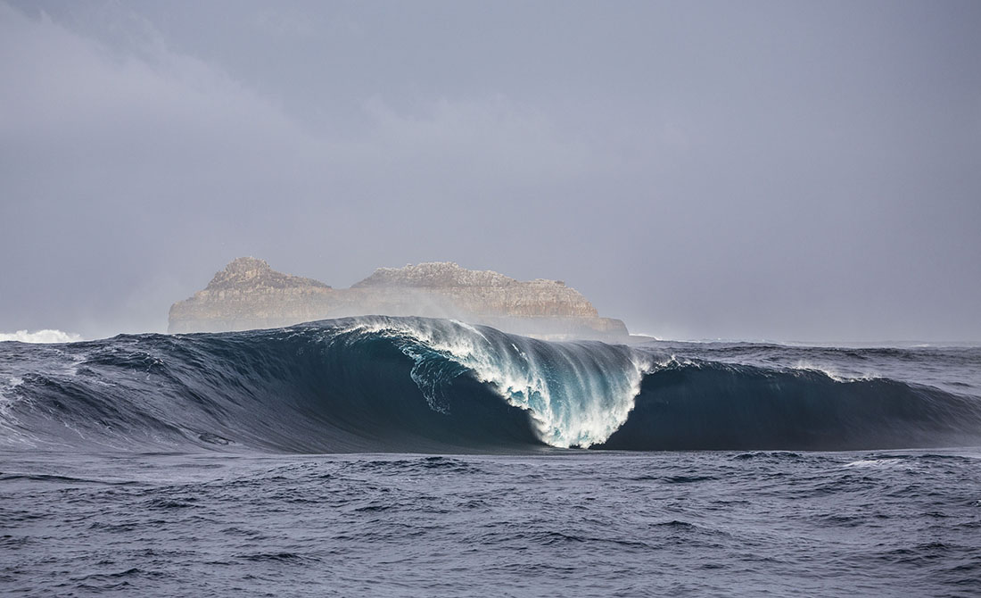
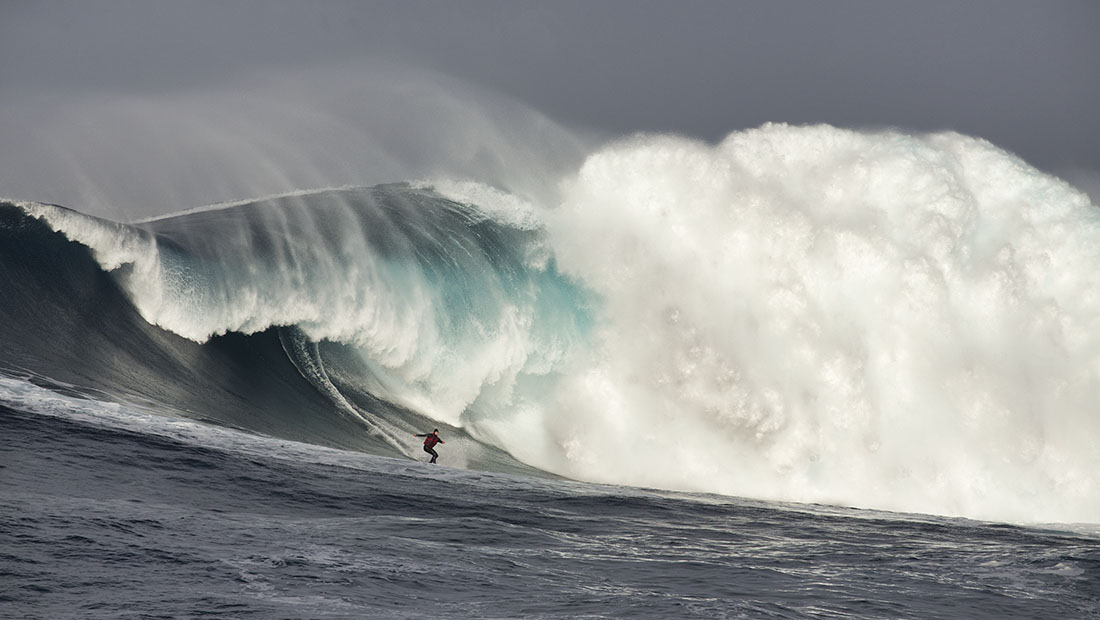
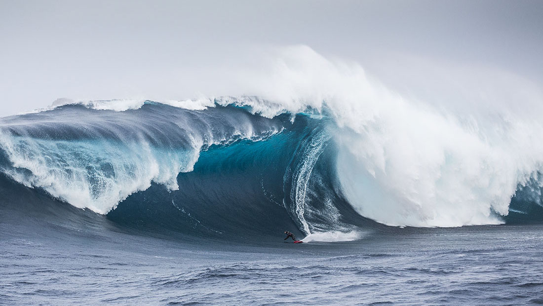
Hazard Rating: 10+/10 | Parking: None | from Hobart: A long way | Faces: South into Antarctica
Pedra Branca is an islet (rock or little island) situated 26km south of Tasmania with some of the most insane waves in the world. An erosional remnant of the Tasmanian mainland, approximately 270m long, 100m wide and an elevation of 60m, estimated to have separated from the Tasmanian mainland at least 15,000 years ago. Another nearby islet is Eddyston also a tower rock also with thunderous waves.
Pedra requires specific conditions to work. A long trip to get there and when you do the water is cold, great white sharks are common and the waves are bone breaking. Jet ski support is mandatory.
Pedra Branca was first recorded in 1642 by the Dutch explorer Abel Tasman and first surfed in October 2008 by Marti Paradisis. Pedra Branca is Portugese for White Rock, probably because it’s covered in bird poo.
Surf photos provided by Stu Gibson, a leading Tasmanian surf photographer.
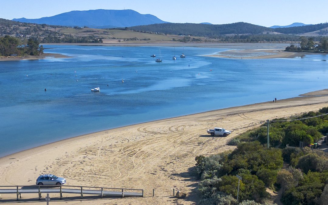
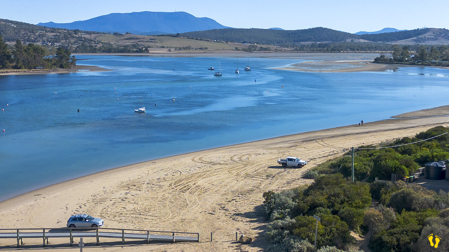
Hazard Rating: 1/10 | Parking: Varied | from Hobart: 27 km | Faces: West into Pipe Clay Lagoon
Original People: Moomairemener
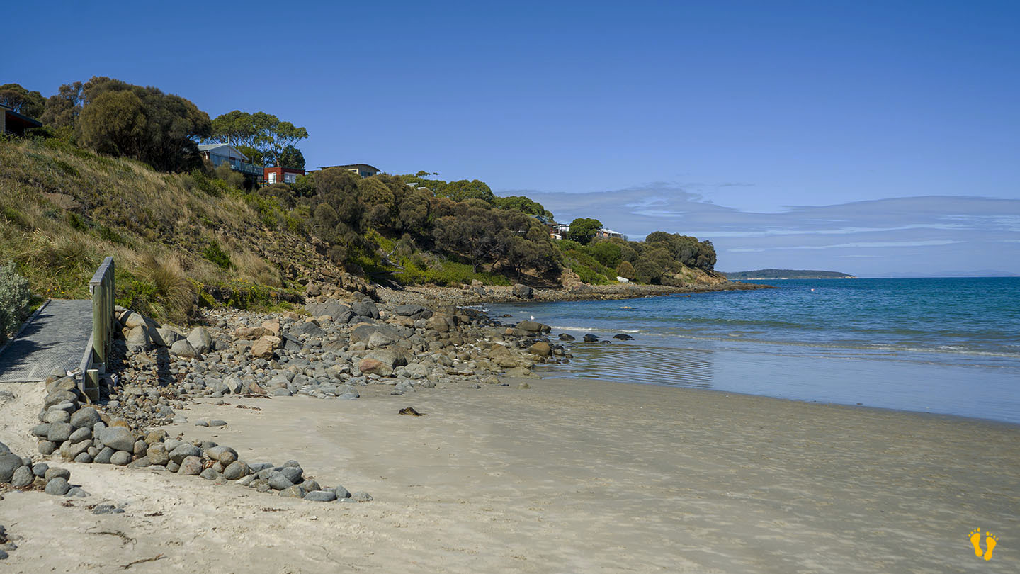
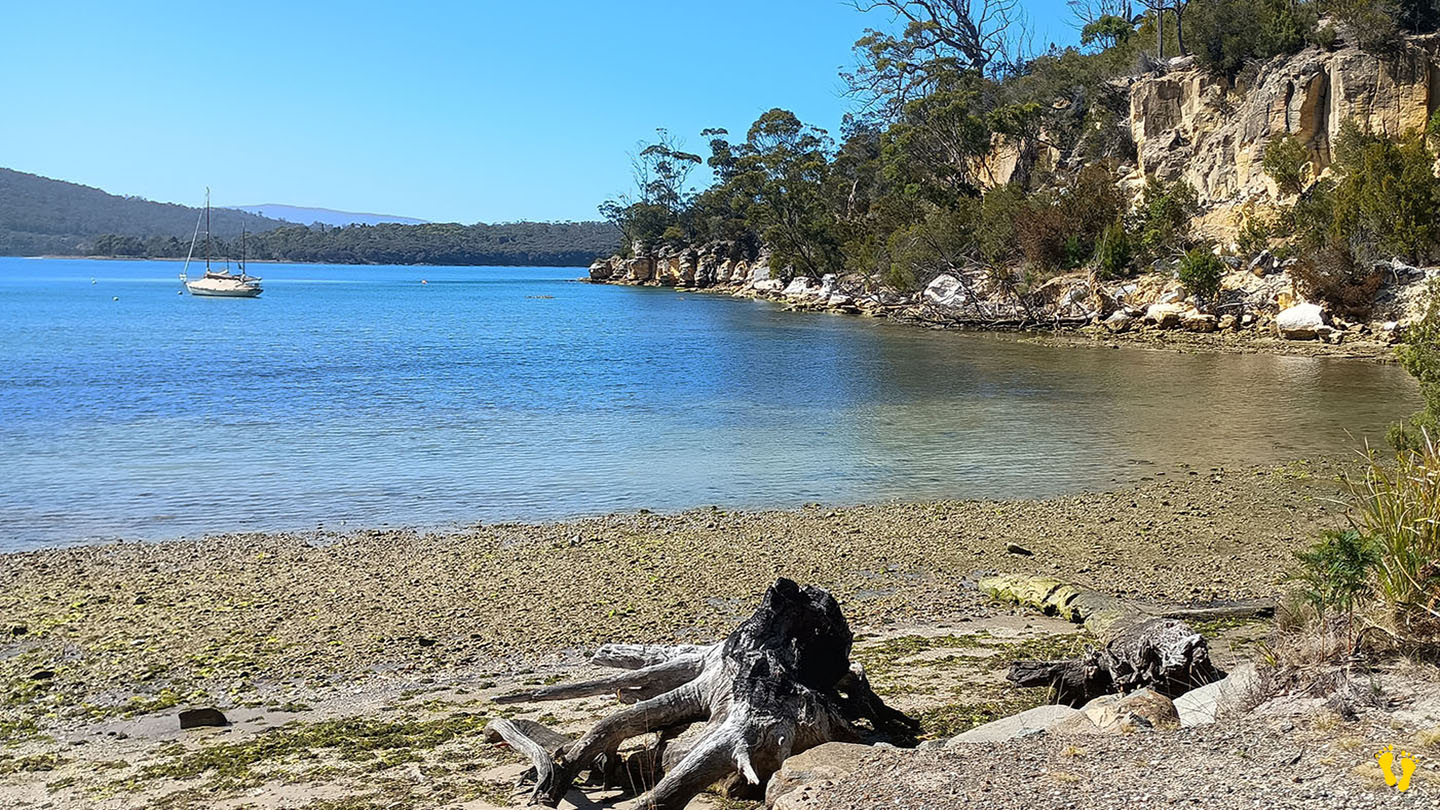
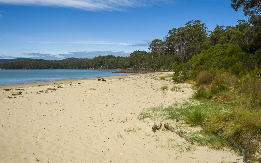
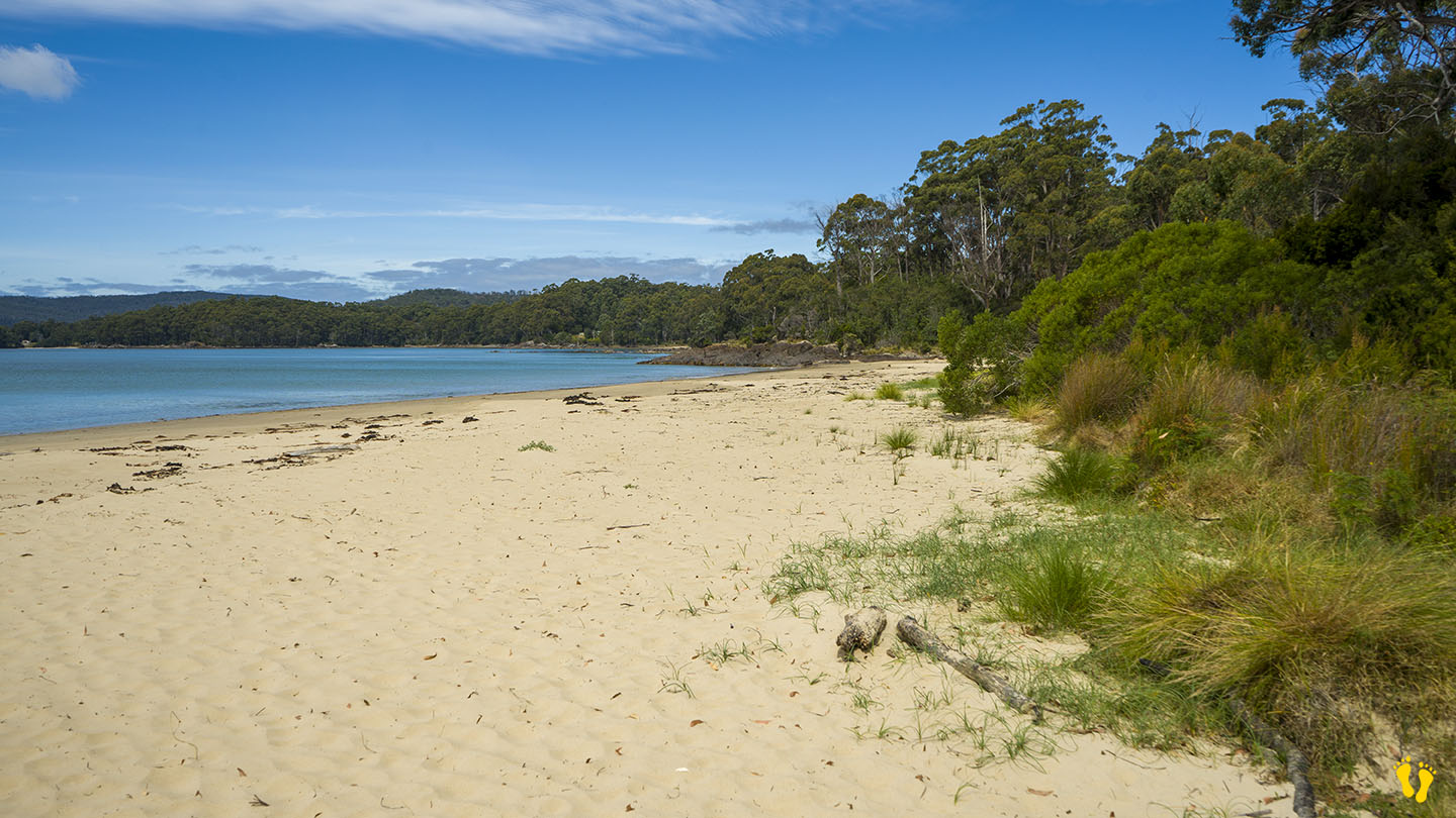
Pipe Clay Lagoon is located on the back side of Cremorne Beach (Frederick Heny Bay) and is fed by a rivulet from the bay. A popular fishing spot with an interesting foreshore. I have often seen stingrays in the canal just looking up at me (they’re known for being inquisitive).
Well protected from the sea with a very gradual foreshore into a deeper canal. There is a jetty great for docking and the beach is used for launching boats.
Conditions change a lot depending on the tide. A very high tide makes it almost inaccessible, while a low tide makes it easy – (check tide here).
The low hazard rating assumes you do not enter the canal, as water can move very quickly at times.
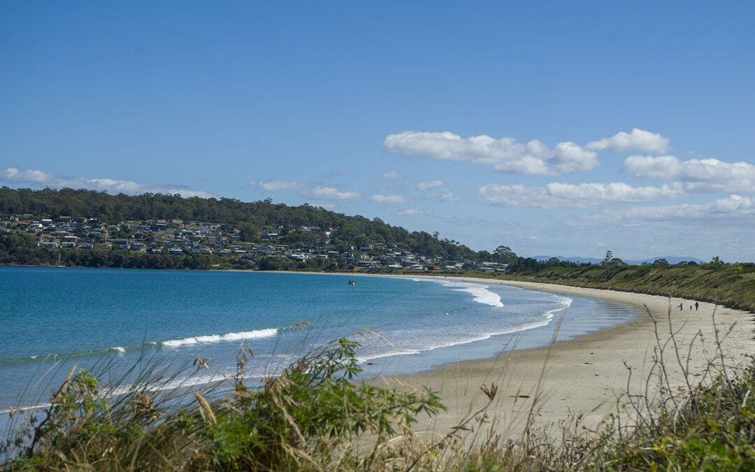
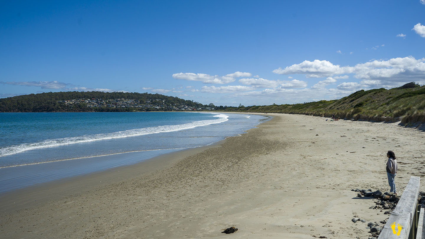
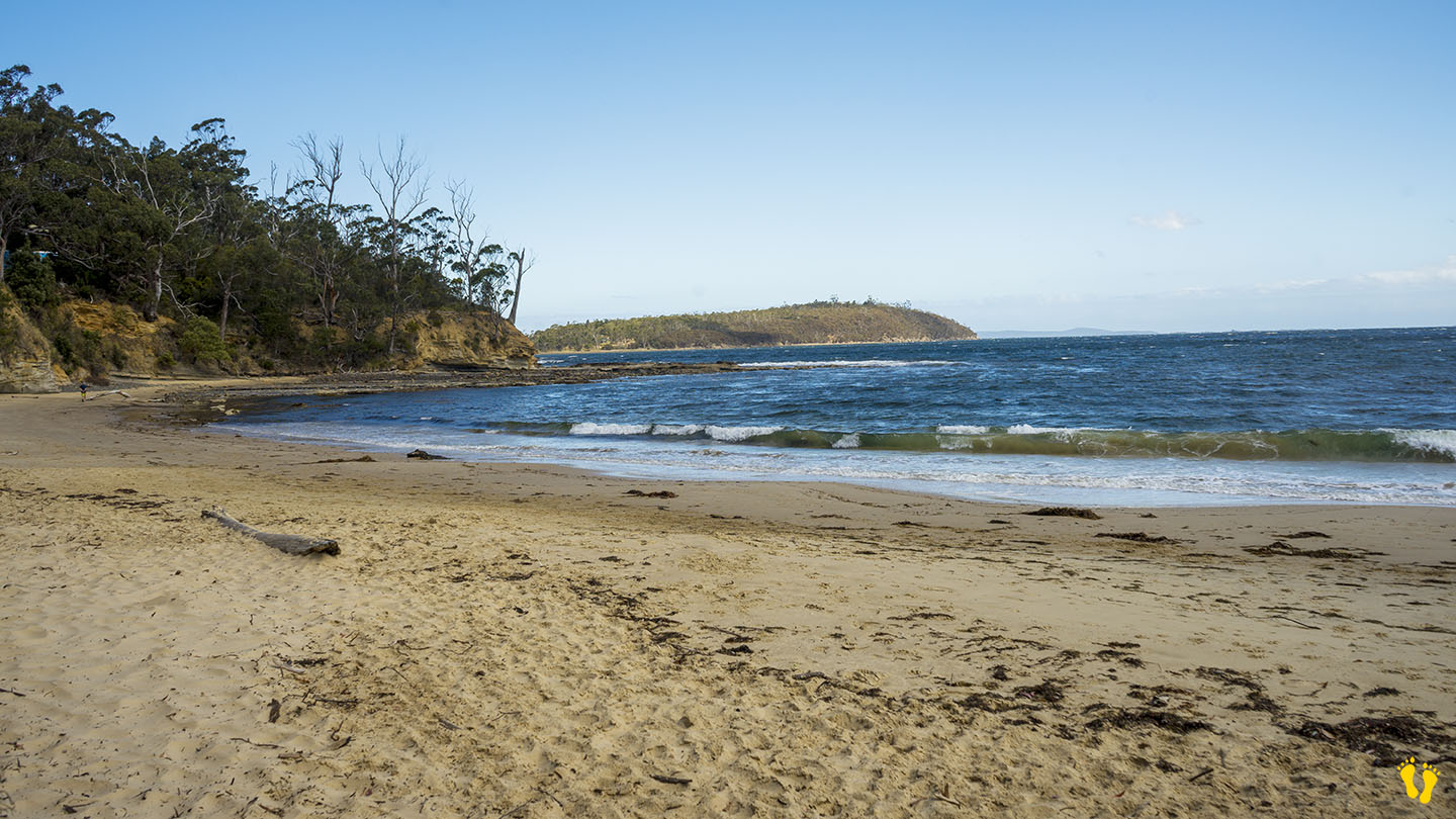
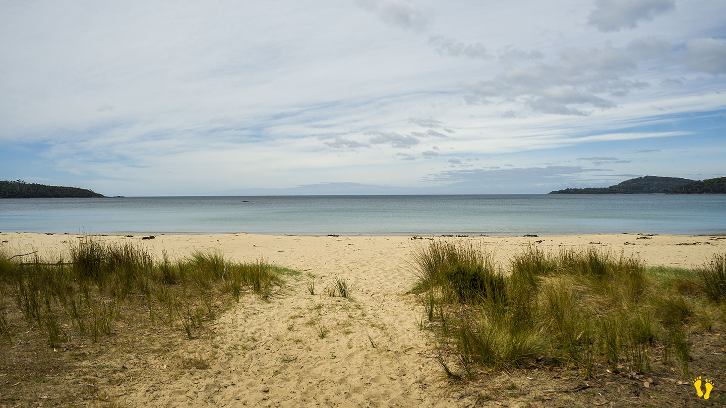
Hazard Rating: 2/10 | Parking: Limited | from Hobart: 50 km | Faces: SW into Frederick Henry Bay | Length: 1.8 km
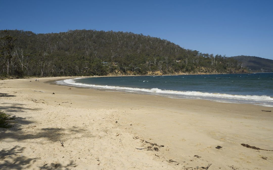
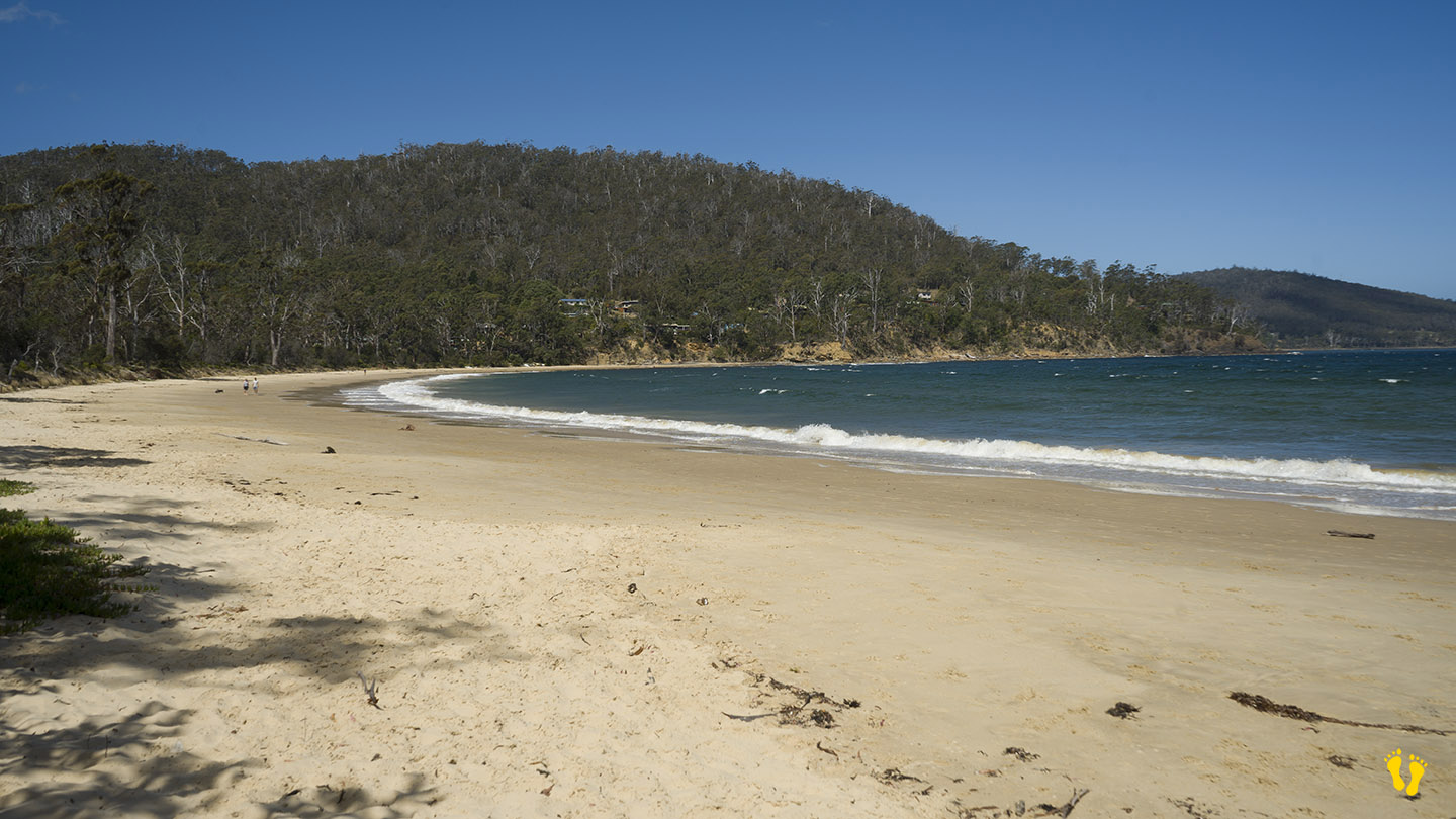
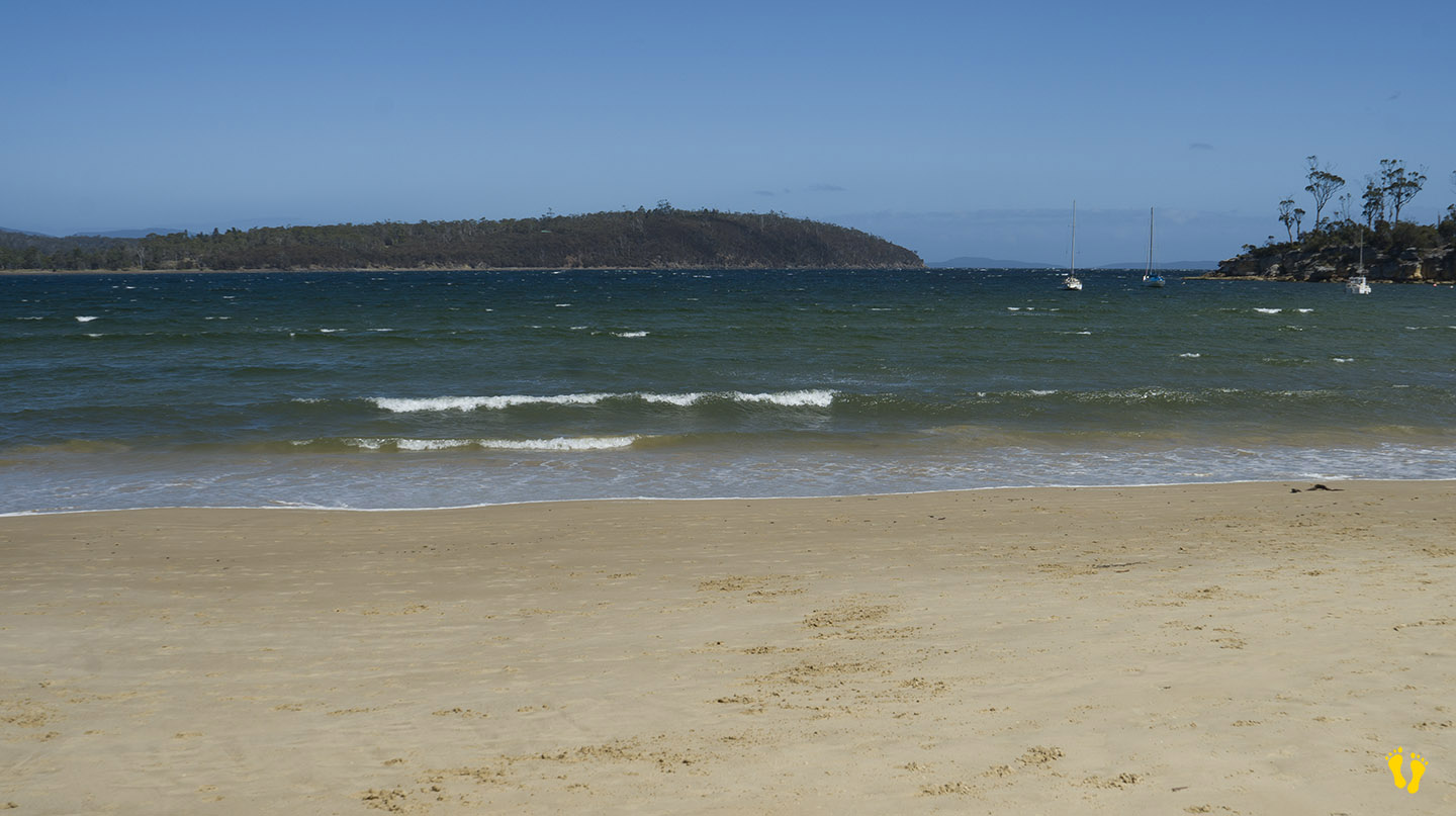
Near Carlton, a beautiful sweeping beach usually well protected and quiet. Best access is on the bottom (south-east) end with other limited access along it’s shore.
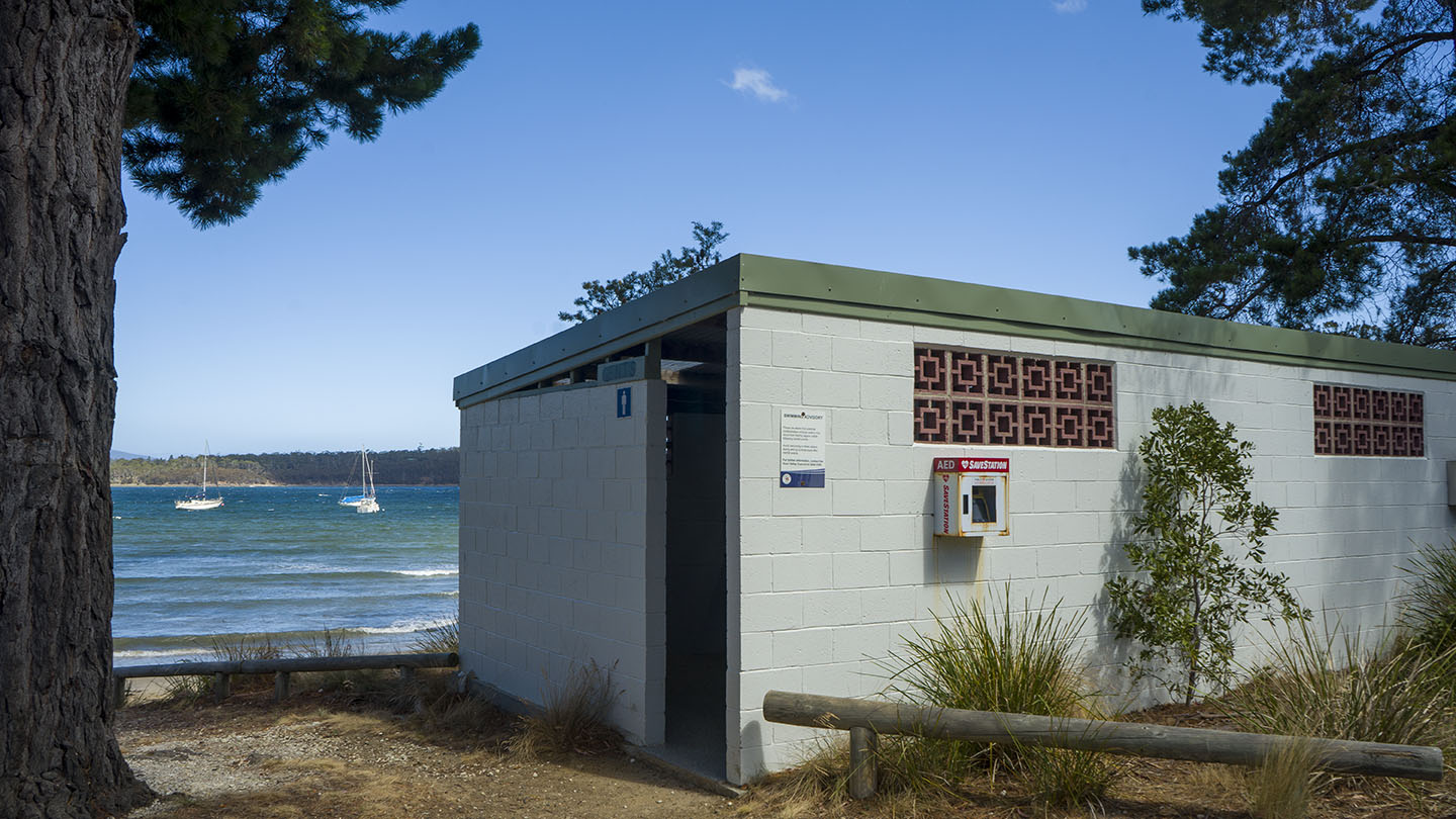
Toilets on the south-east end next to the skate ramp about 200m from beach. Shop nearby. Great views of Mt Kunanyi and the island ‘Isle of Caves’.
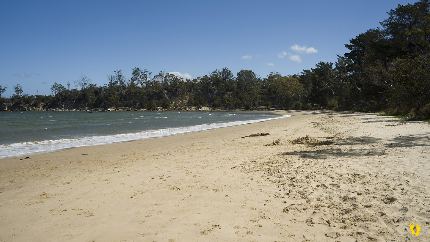
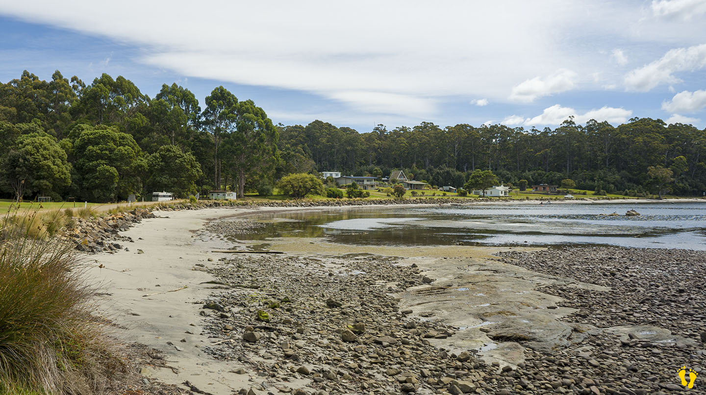
Channel Highway | Hazard Rating: Low | Parking: Good + close | from Hobart: 58 km | Faces: South into Huon River | Length: 600 m
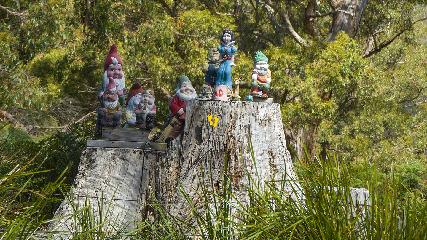
Situated between Verona Sands and Cygnet, turn off the Channel Highway onto Randalls Bay Road (or Abels Road), don’t forget to pay homage to the gnomes on the way in, otherwise you will have bad luck! Further accessed along Williams Road. A popular beach on sunny days – you may even see an ice cream van!
A long sandy beach generally calm bay as it is protected by Garden and Bruny Islands, may have wind chop depending on wind strength and direction.
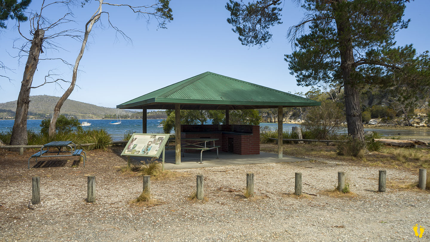
Great for kids to swim and kayak. There are toilets and a covered BBQ area.
The west end is also the start of the Mickeys Beach walking track. A basic 3km (return) track to a small hidden gem of a beach (I am not at all biased because they named it after me!). About a 1 hour return but you will want to stay and take in the beauty of Mickeys Beach and maybe have a swim. 500m into the walk, a short detour leads south to the tip of the coast with views of Cray Point, Garden Island, Bruny Island and the D’Entrecasteaux Channel.
Hazard Rating: 2/10 | Parking: Good + close | from Hobart: 116 km | Faces: Southeast | Length: 2 km
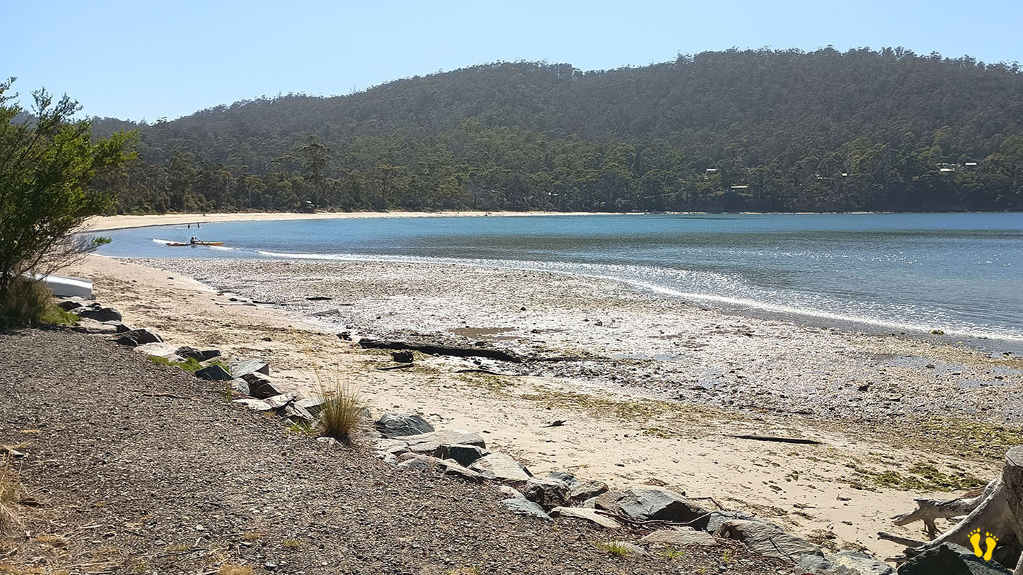
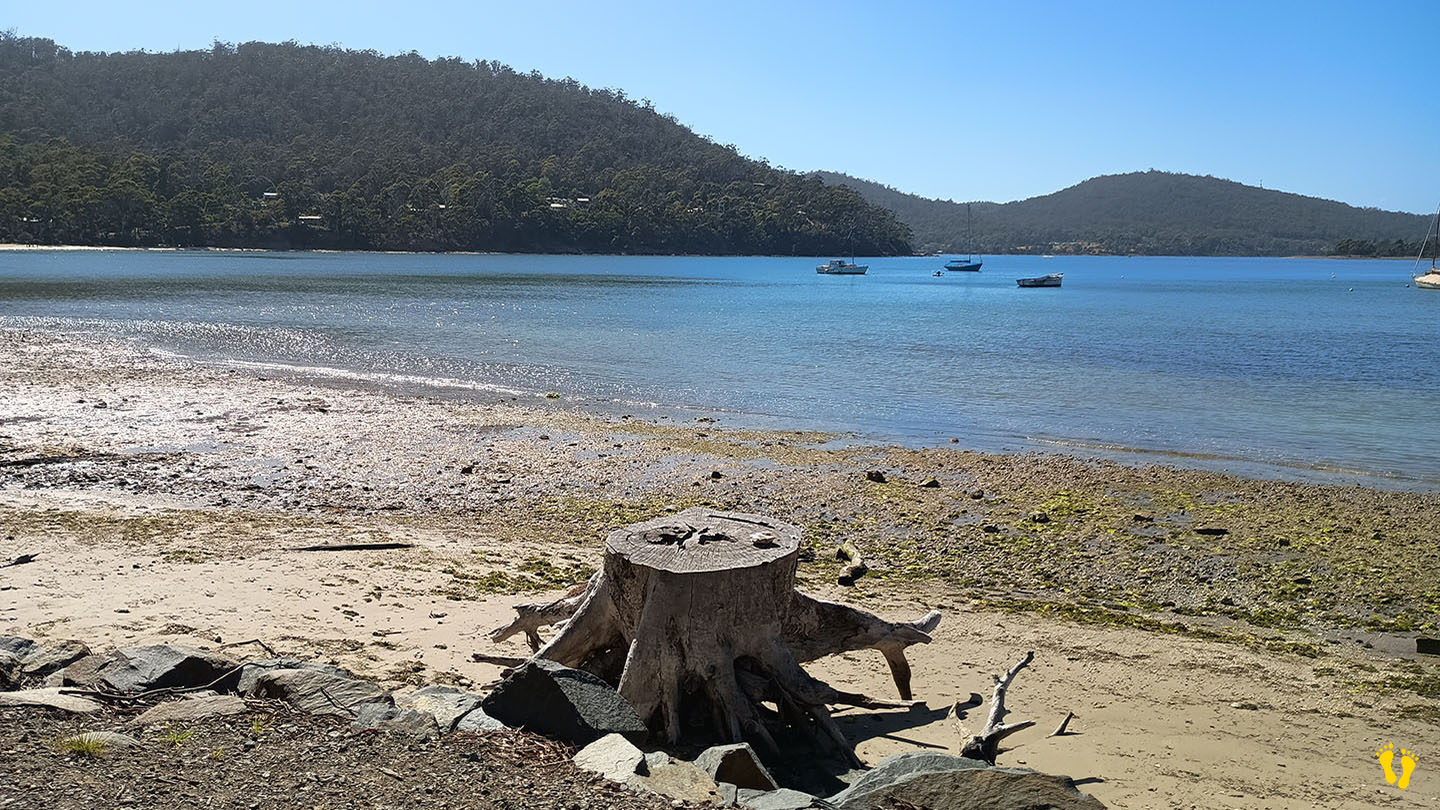
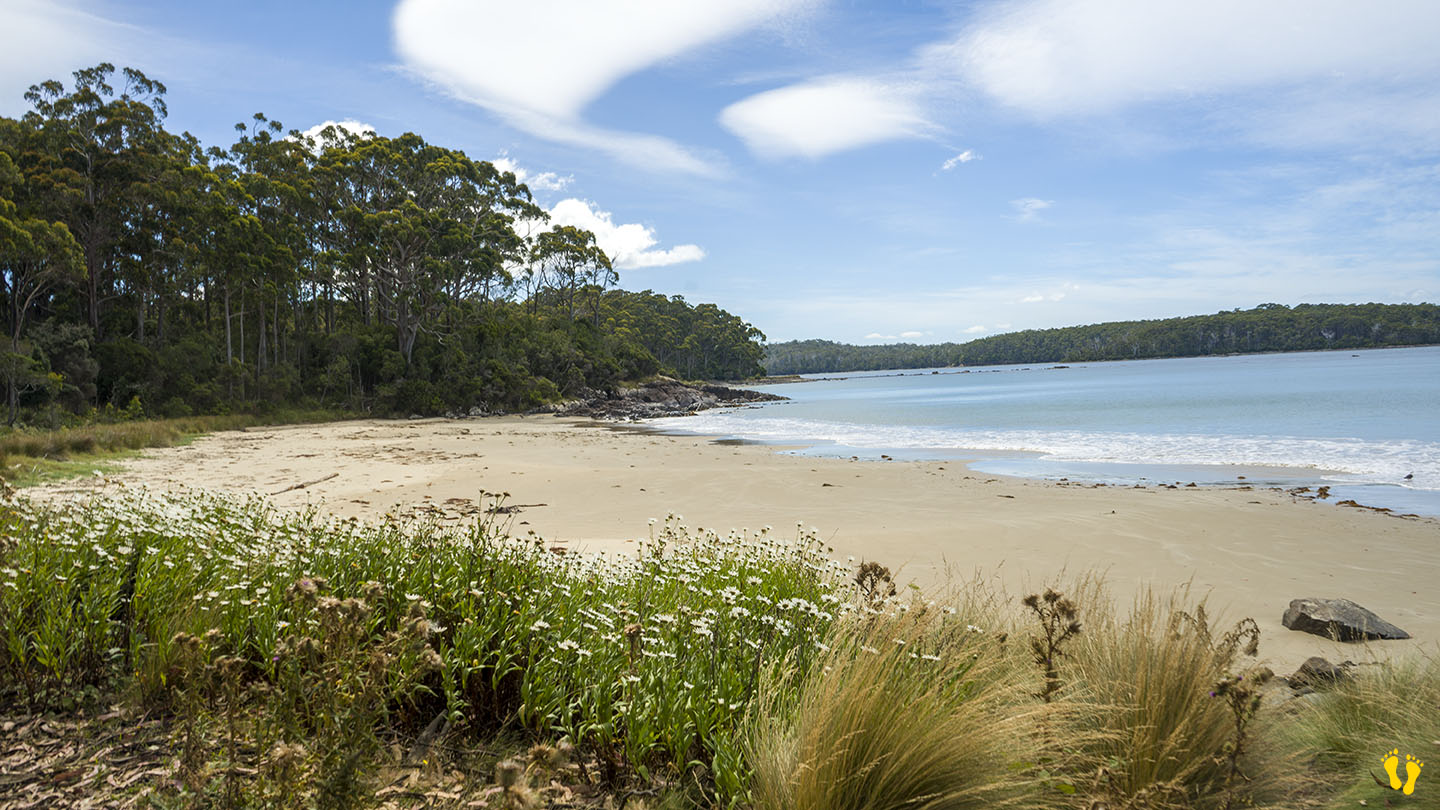
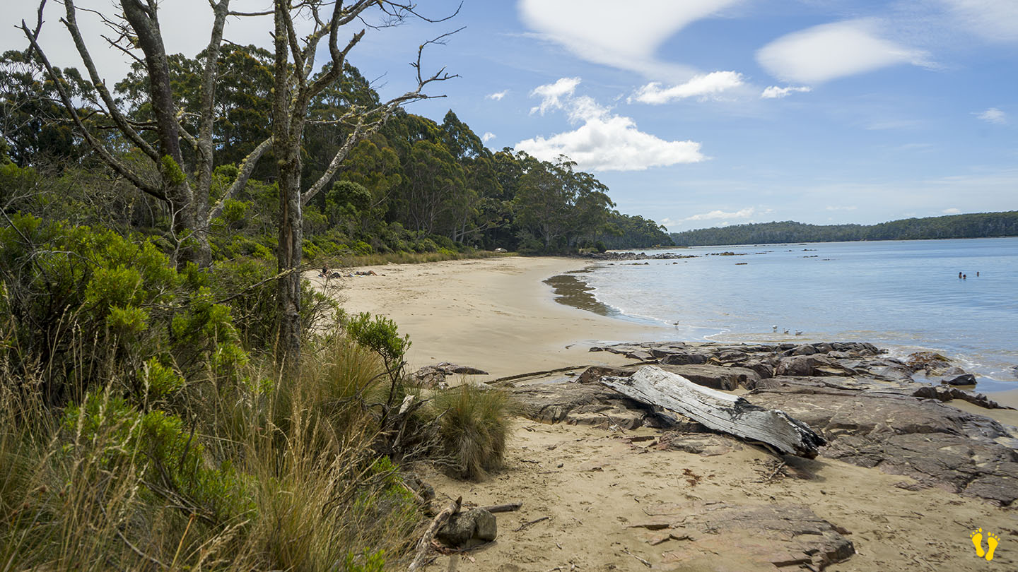
Recherche Bay includes Gillams, Finns and Lancasters beaches, a group of beaches on the way to Cockle Creek—all great beaches in a serene area with campgrounds on the nonbeach side of the road.
Recherche Bay (pronounced ‘research’) was named after one of Bruni d’Entrecasteaux’s ships which explored the area in 1792. More fascinating information can be found here. Turn right before Southport towards Hastings. At the end, you travel about 20 km on a good dirt road of no concern for any vehicle.
Congratulations to Parks and Wildlife for a soft touch on the area that has kept its beauty and still allows camping.