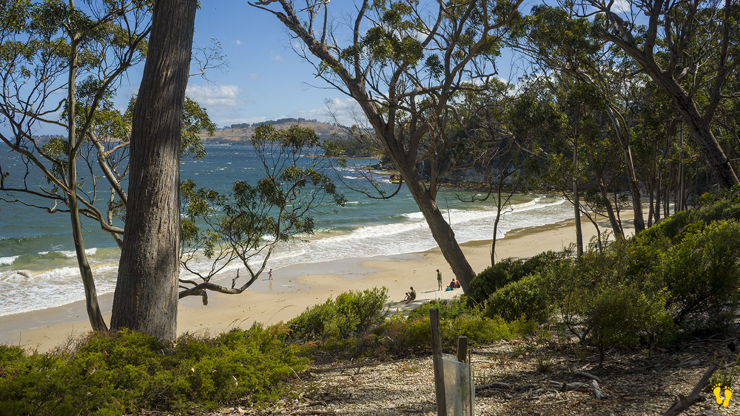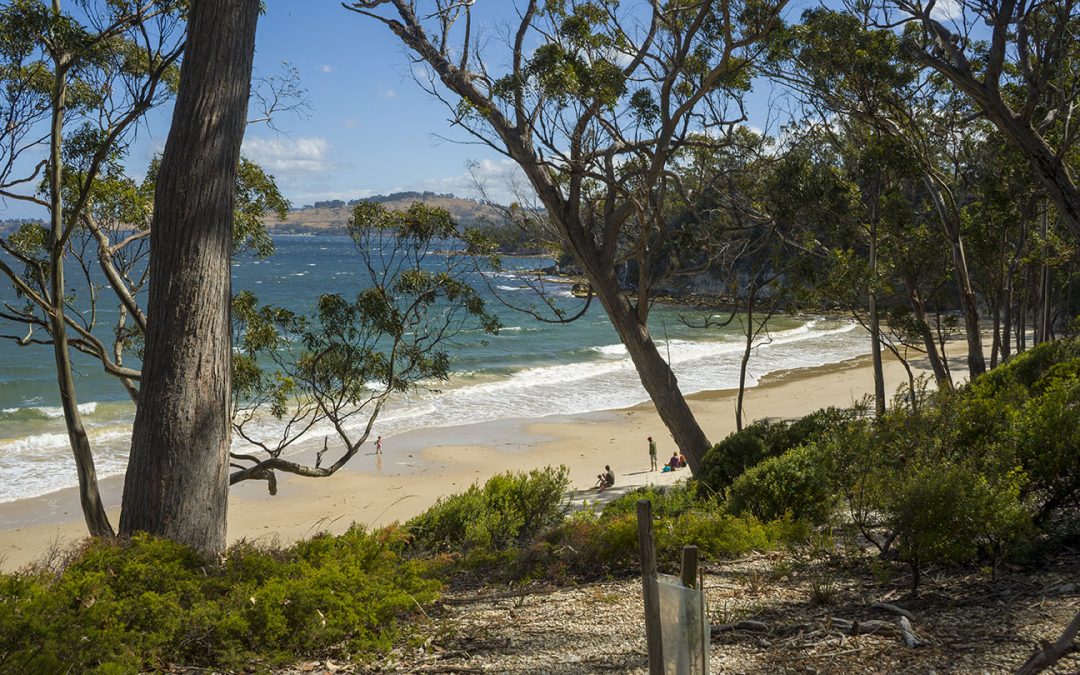
by Mickey Jarvis | Jan 17, 2024 | Channel, Low Hazard, South
Hazard Rating: 1/10 | Parking: Yes | from Hobart: 70 km | Faces: South into Randalls Bay | Length: 250 m
My very own beach! … Mickeys Beach is a hidden gem of a beach at the bottom of the Channel Highway between Randalls Beach and Eggs & Bacon beach.
Down a dirt road off Randalls Road easily accessible by all vehicles, about 300m. A short walk down to the beach.
If you wanted to find a small, well protected and secluded beach hidden away – this would be it. Beautiful sand and backed by a wonderful forest. No amenities, but hey, you cannot have everything. Definitely worth a visit.
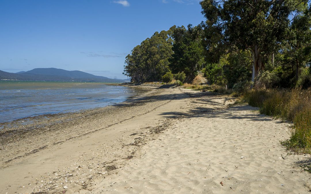
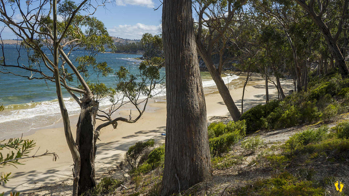
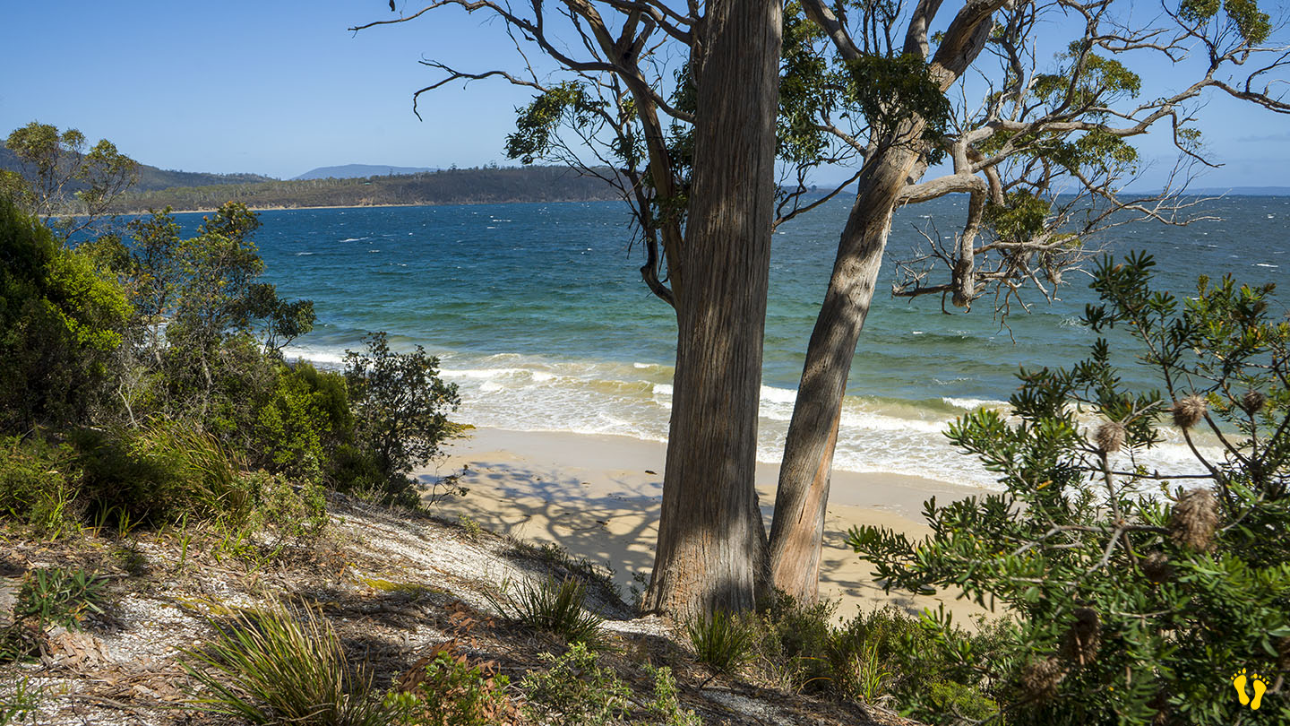
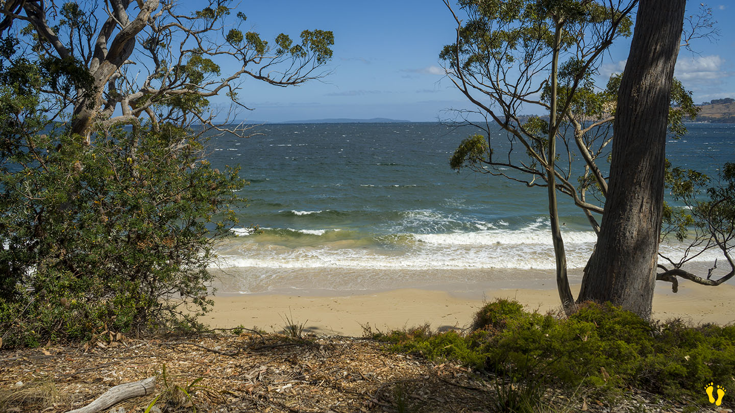
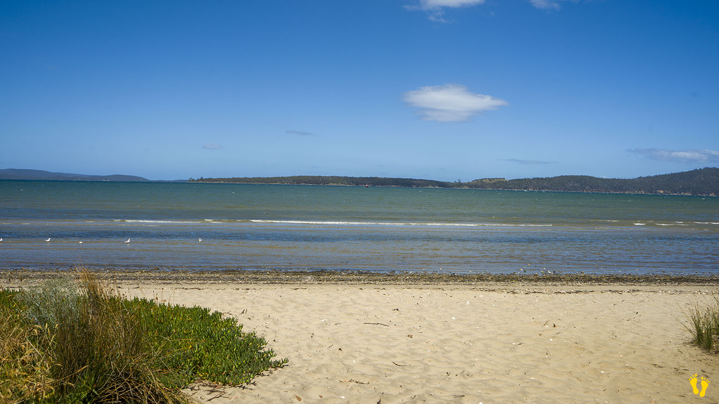
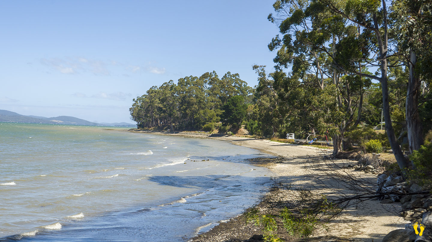
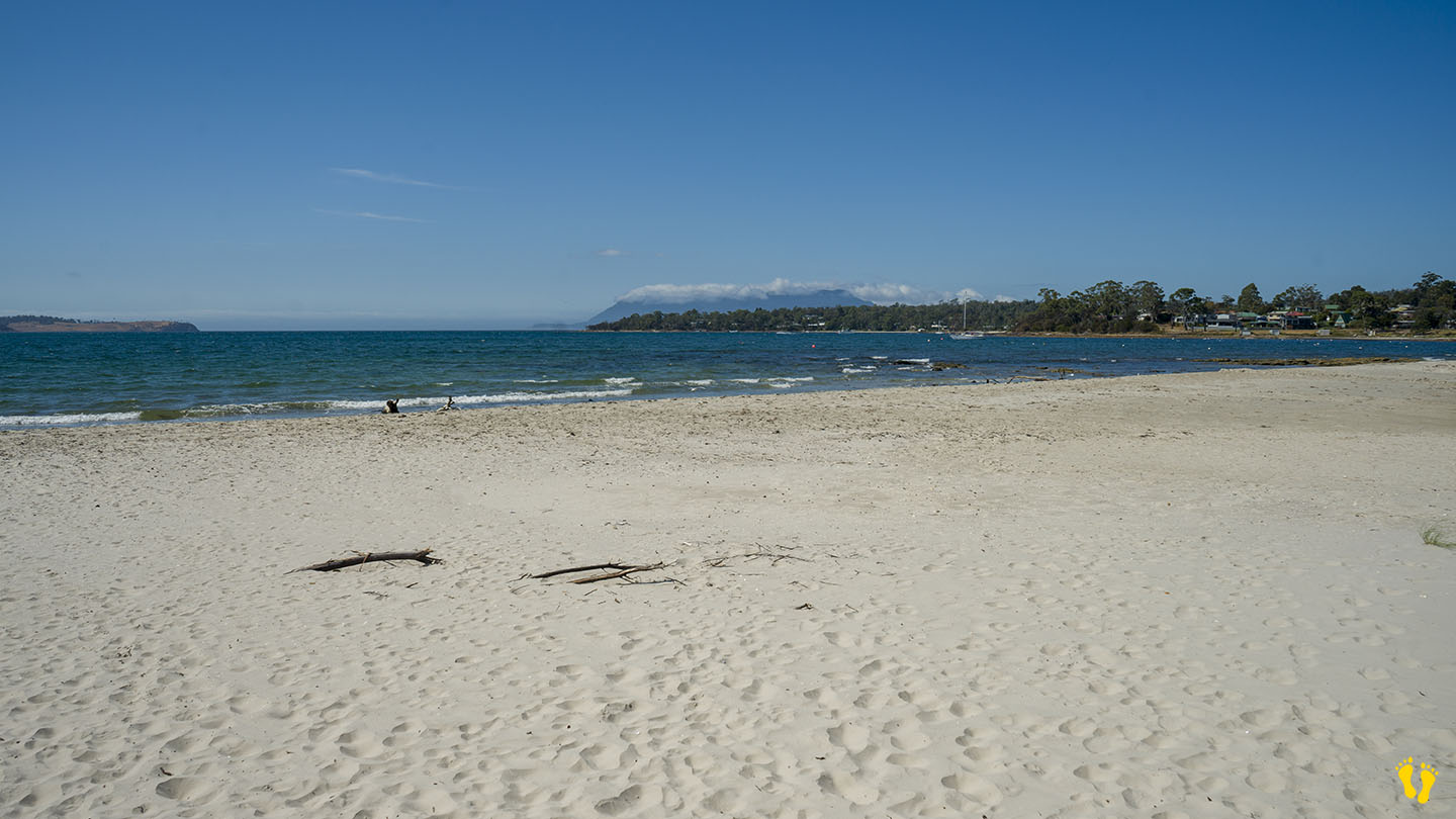
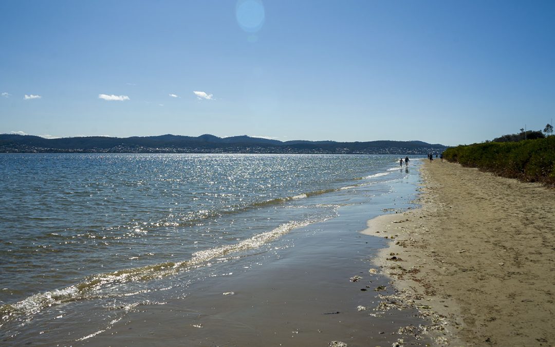
by Mickey Jarvis | Jan 14, 2024 | Channel, Low Hazard, South
Hazard Rating: 1/10 | Parking: Good + close | Faces: East into D’Entrecasteaux Channel | Length: 400m
Original people: | Nuenonne
An unknown beach off the Channel Highway, Middleton. Secluded with a gradual foreshore.
Located down Beach Road and Esplanade Road it has small playground. Views of Bruny Island.
The name Middleton is believed to be derived from the wife of an early settler.
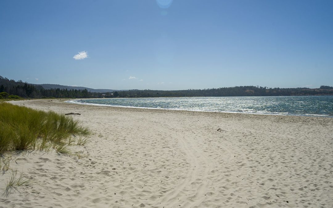
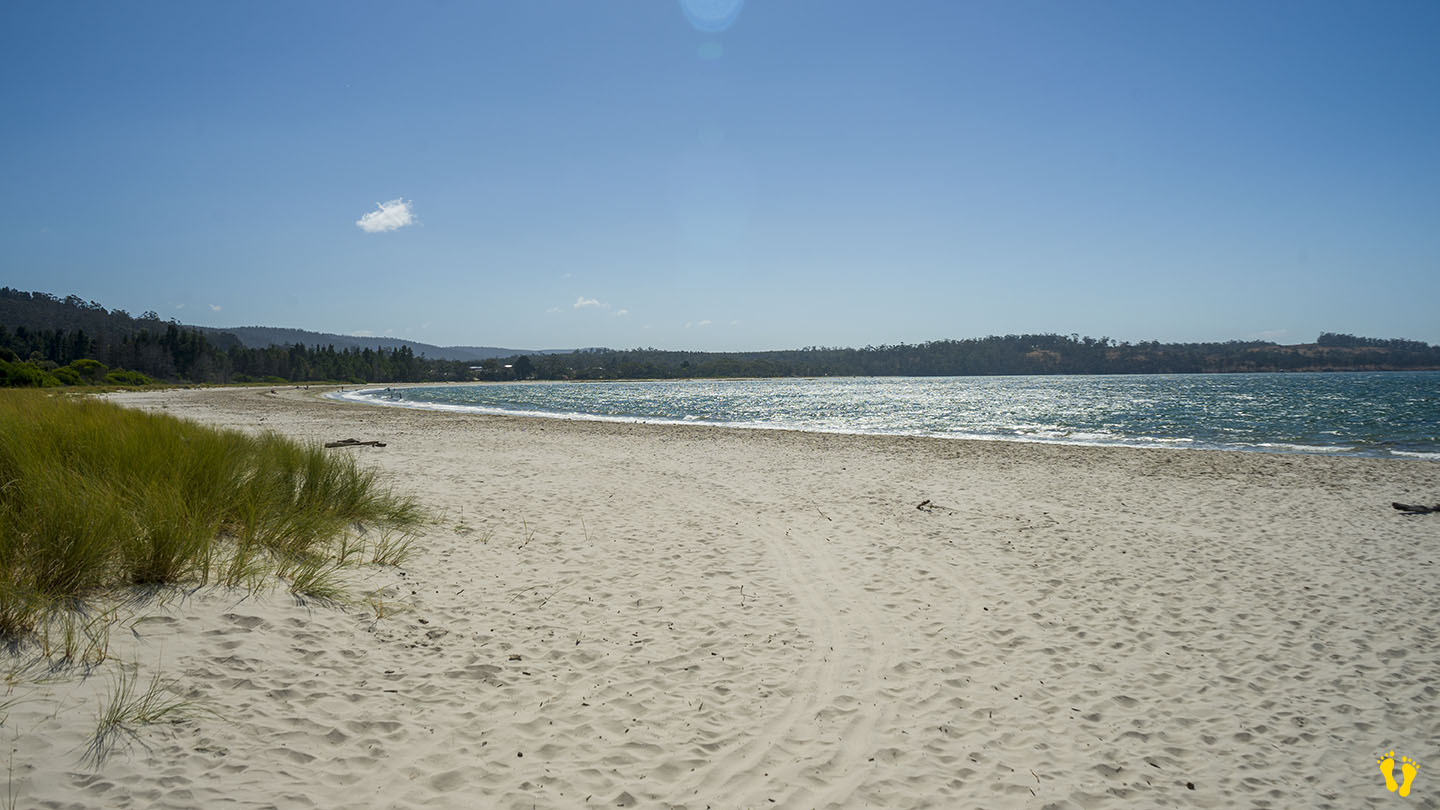
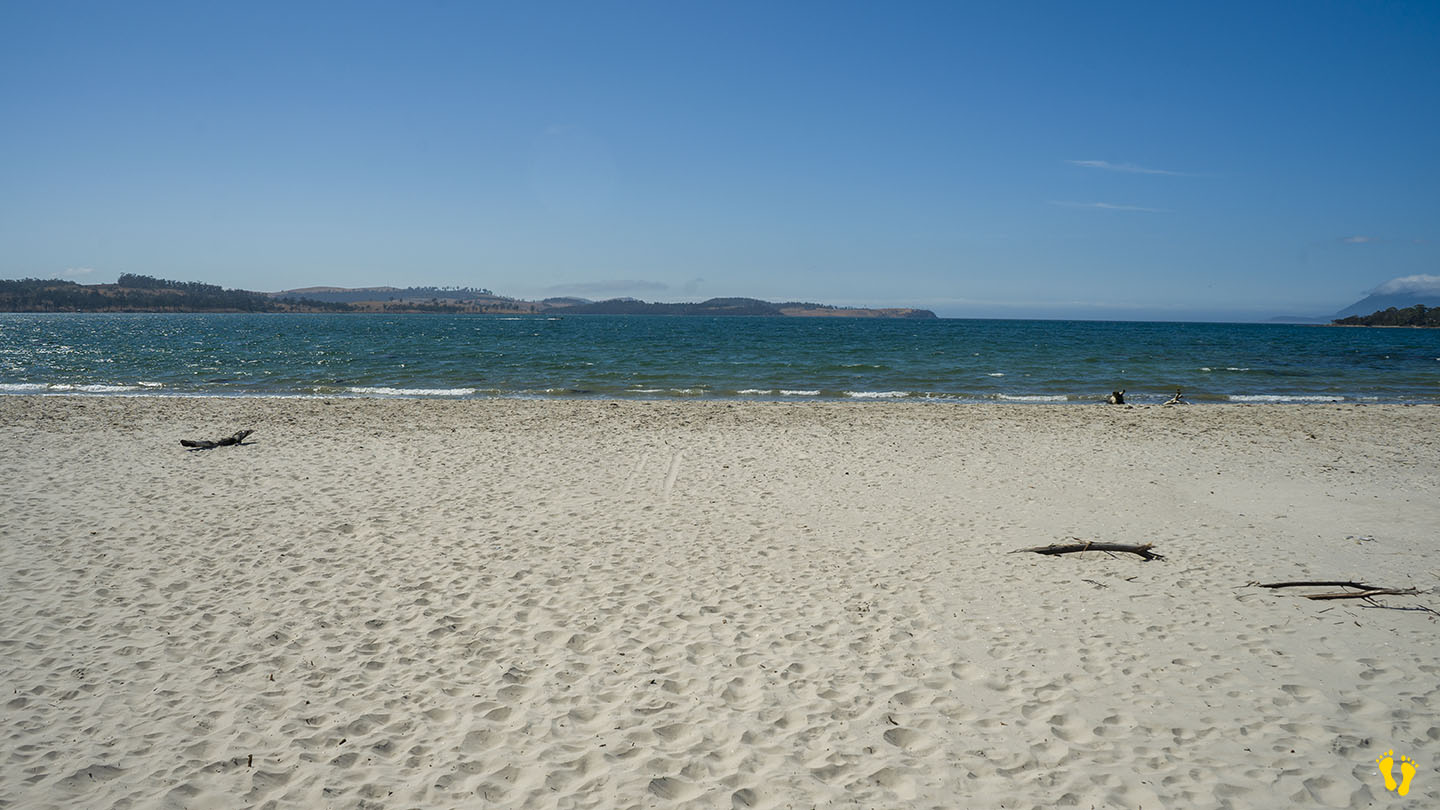
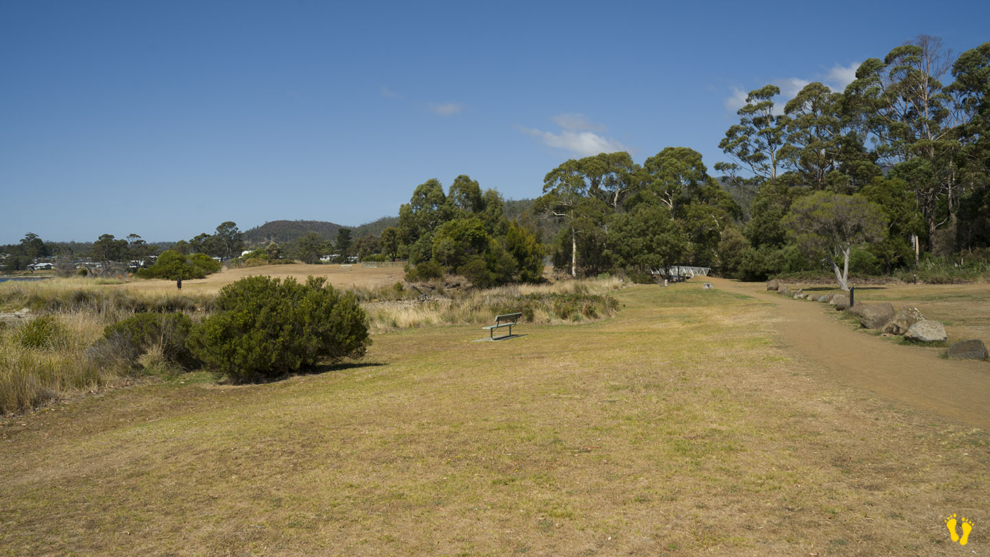
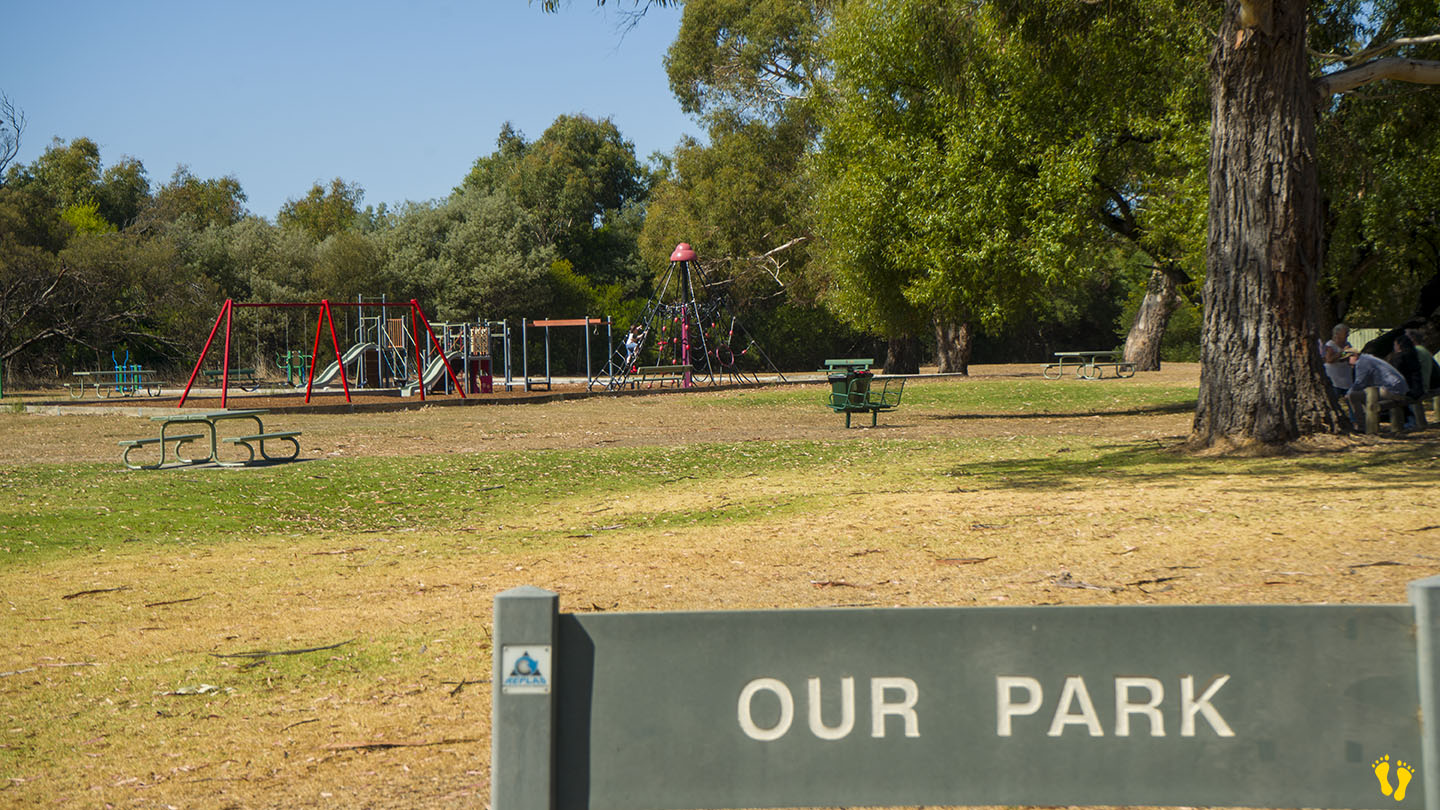
by Mickey Jarvis | Mar 10, 2024 | East Coast
Orford on the East Coast |
Hazard Rating: 2-3/10 | Parking: Good + close | from Hobart: 80 km | Faces: East into Prosser Bay | Length: 1km
Milligtons Beach is on the south side of the bridge in Orford and is effectively a continuation of Raspins\Orford Beach after you cross the Prosser Rivermouth.
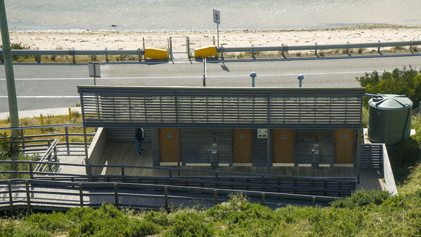
A quiet, somewhat unknown beach to visit with a park called ‘Our Park‘ close to the beach with toilets and BBQs.
You can access the beach via the playground or further south via Rudd Avenue.
Named after Harold Millington, who built a house near the beach in 1925 – currently available for overnight stays at Millingtons House.
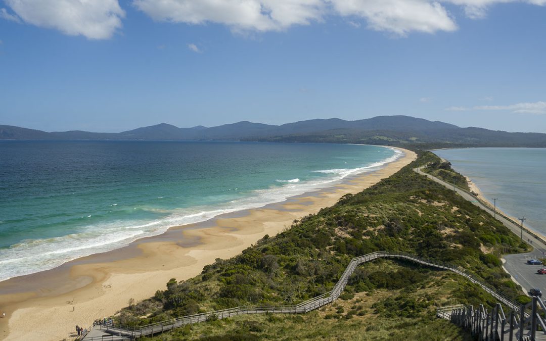
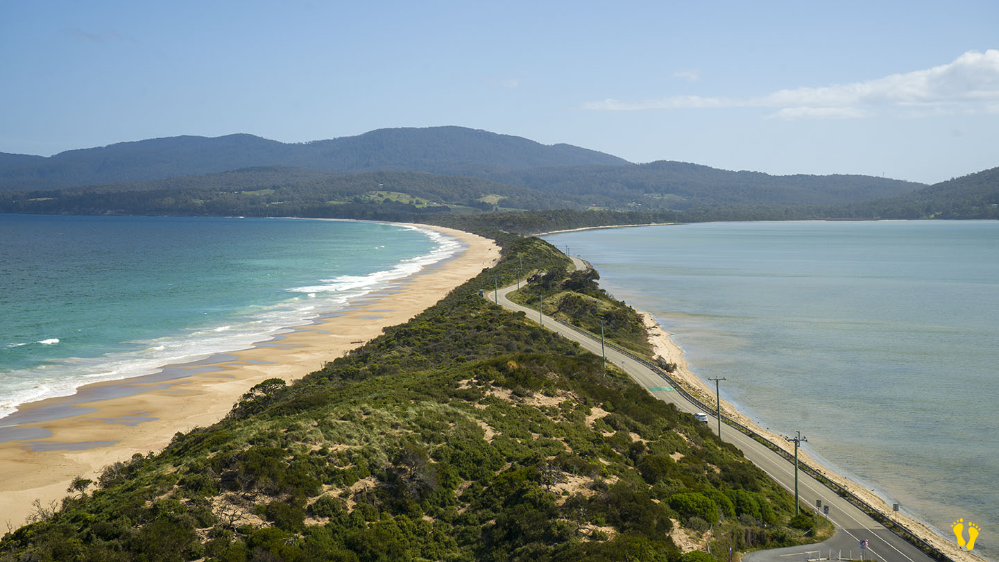
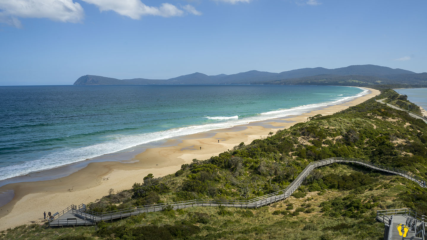
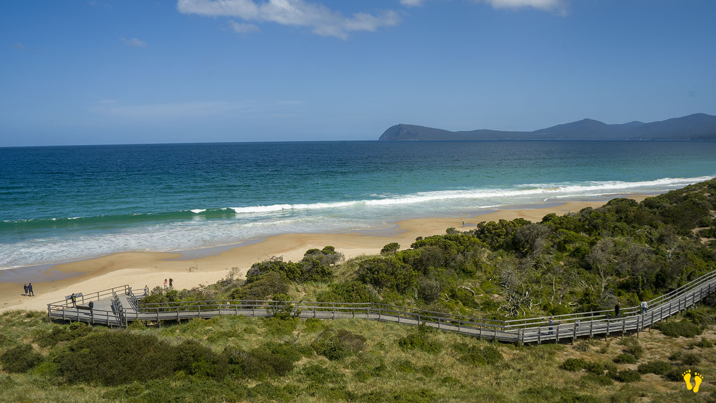
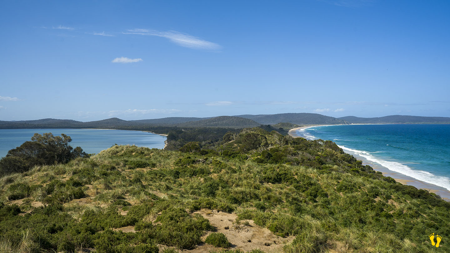
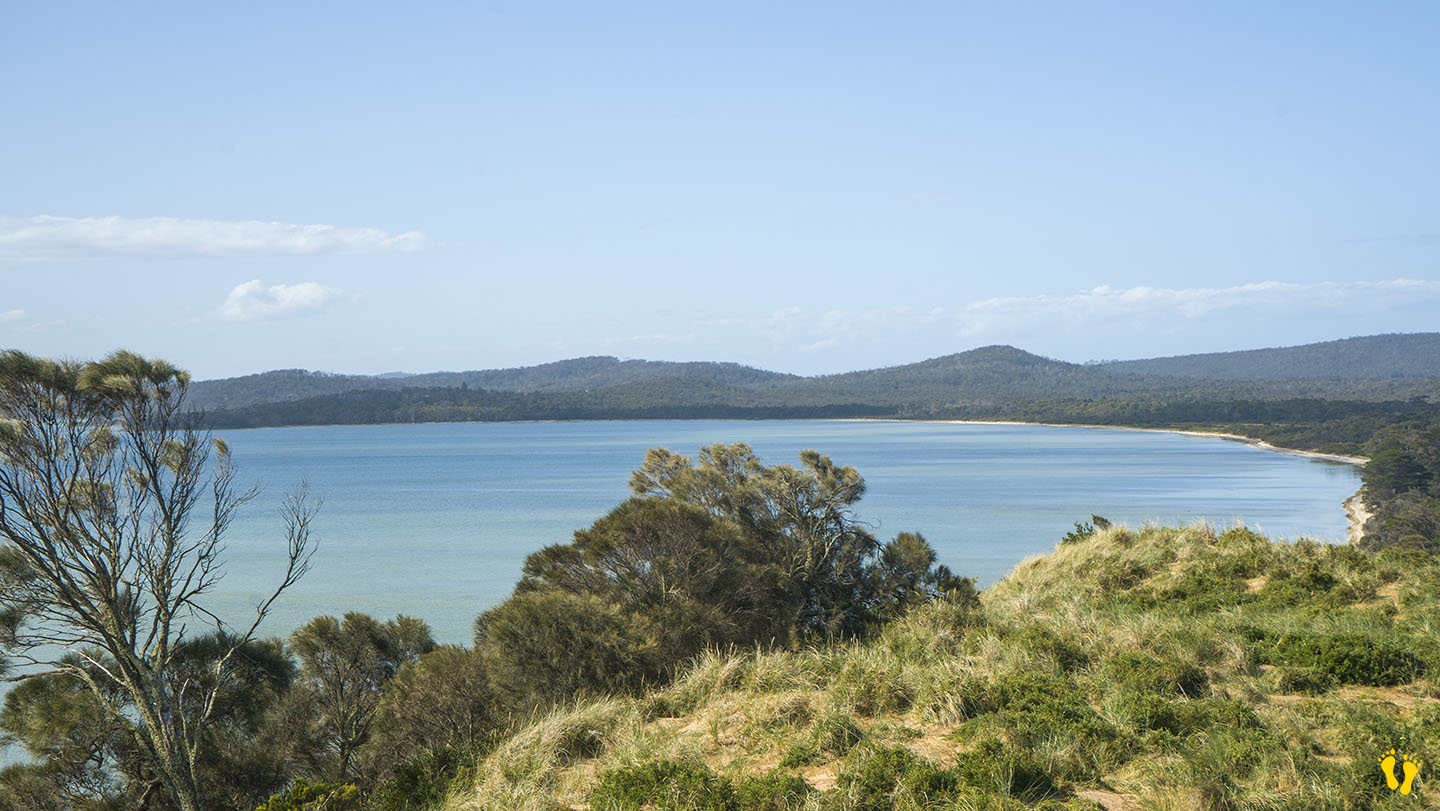
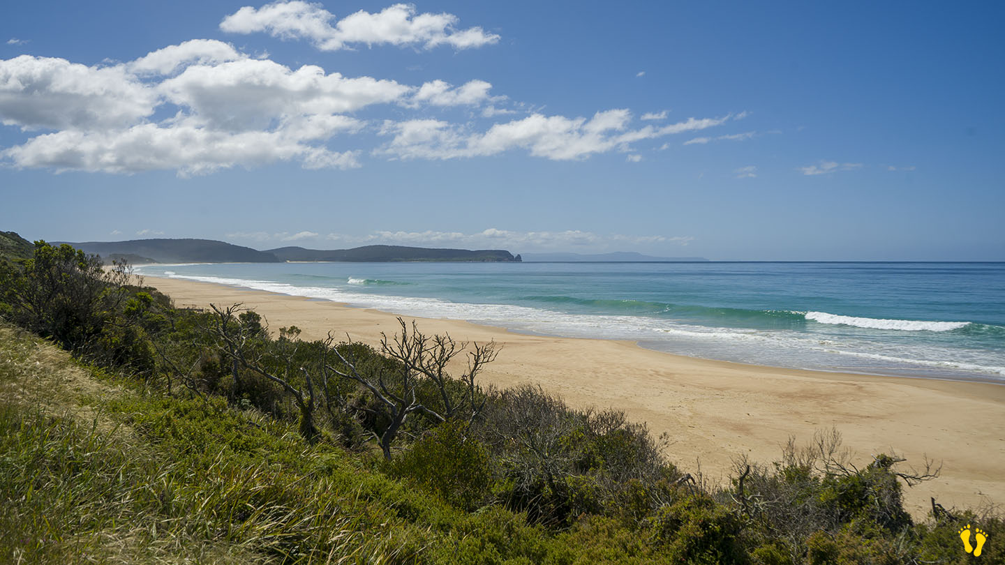
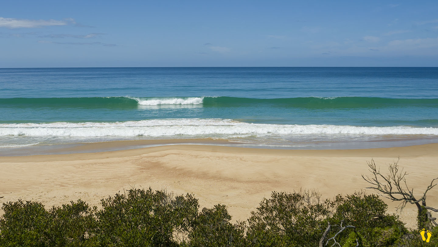
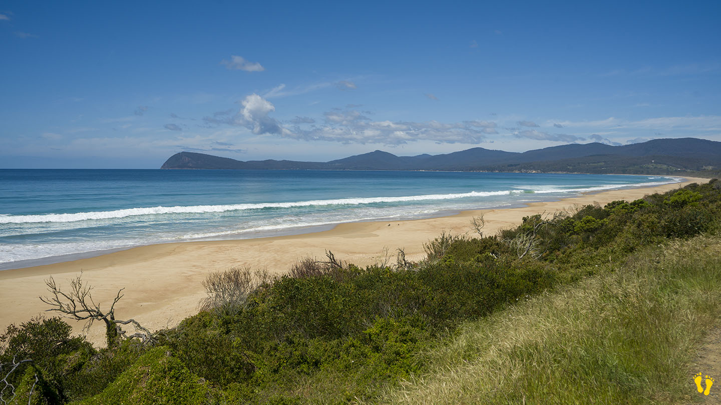
by Mickey Jarvis | Nov 18, 2024 | Bruny Island
Hazard Rating: 6/10 | Parking: Limited | Faces: South East into the Tasman Sea | Length: 10km
Original People: Nuenonne | Original Name: lunawannalonna (Bruny Island).
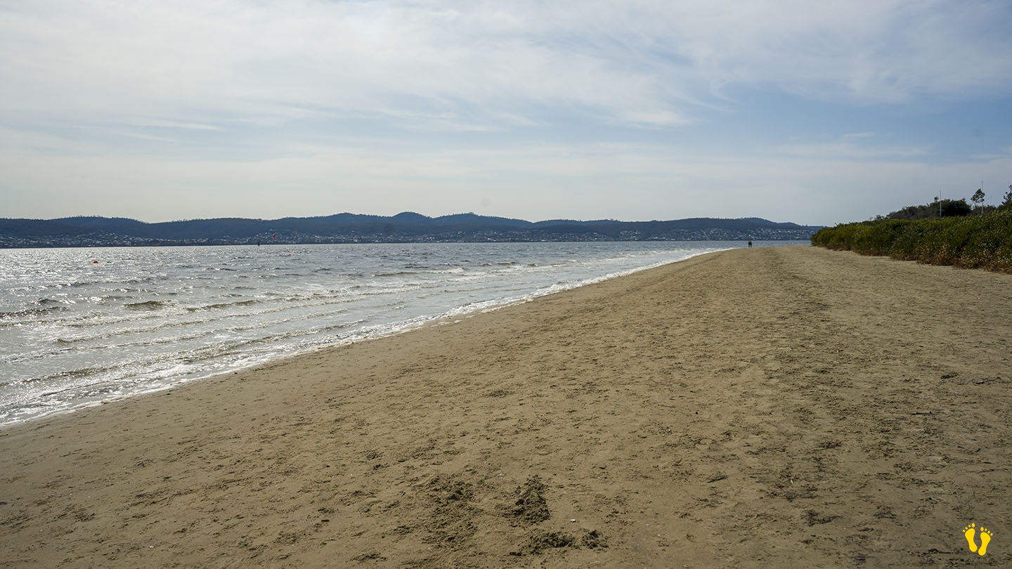
Neck Beach on Bruny Island is a spectacular beach. Dividing north and south Bruny it sits between Simpsons Bay to the west and Isthmus Bay to the east. This beach has won a Tourism Australia award for best beach, and rightfully so – 10km of pure beauty.
Conditions vary greatly and there are many RIPS, so only swim when the conditions suit your ability. Often a good surf beach.
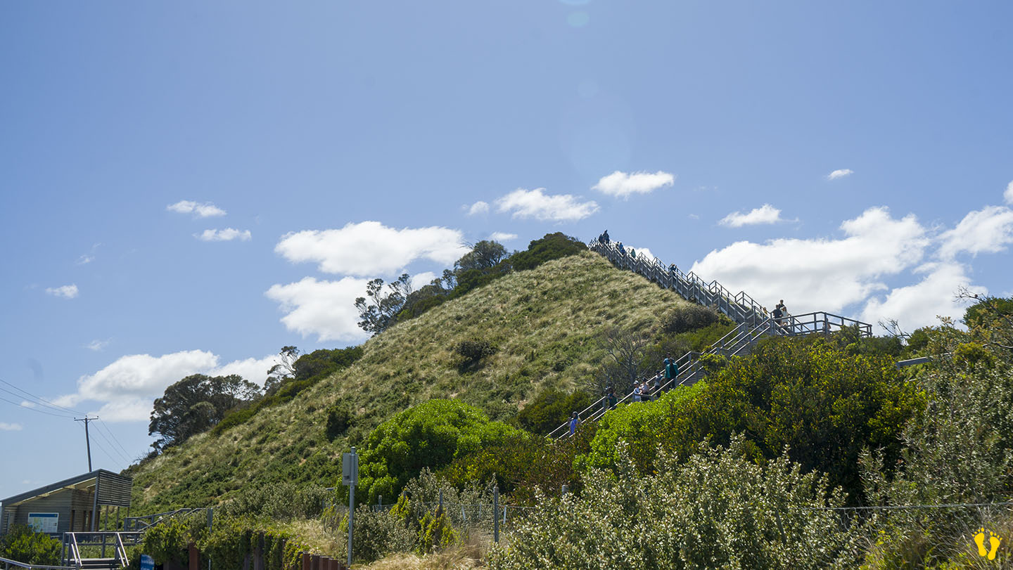
Access is somewhat limited, parking and toilets mid-beach at the Trugunini viewing station with a 300m walk to the beach. There are also stairs to a viewing platform with spectacular views up and down the beach on both sides. There are also small roadside offsets with limited parking along the beach shore – your best option is a camping ground at the south end with parking, toilets, overnight camping, and caravan options—a 50m walk to the beach.
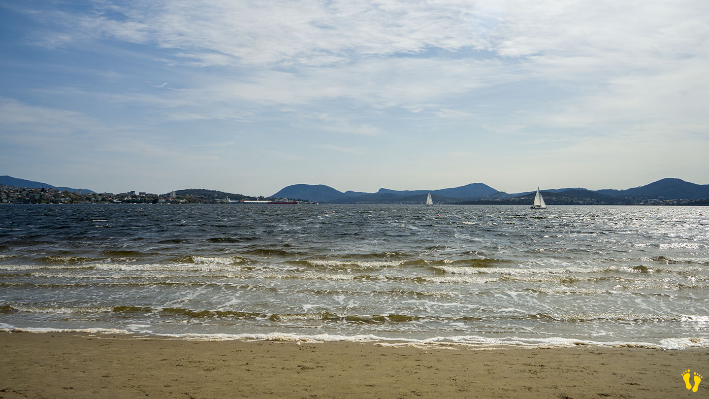
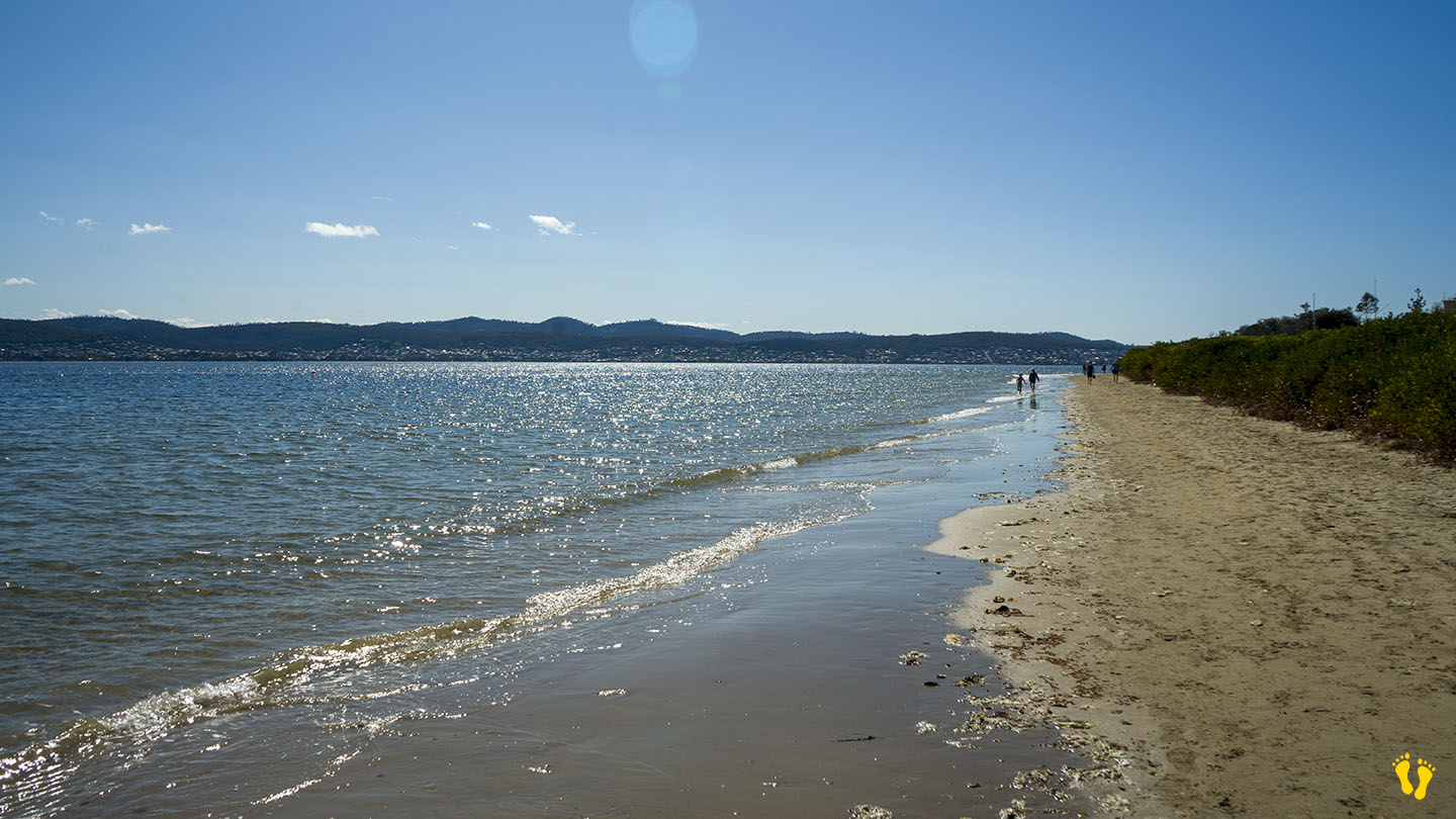
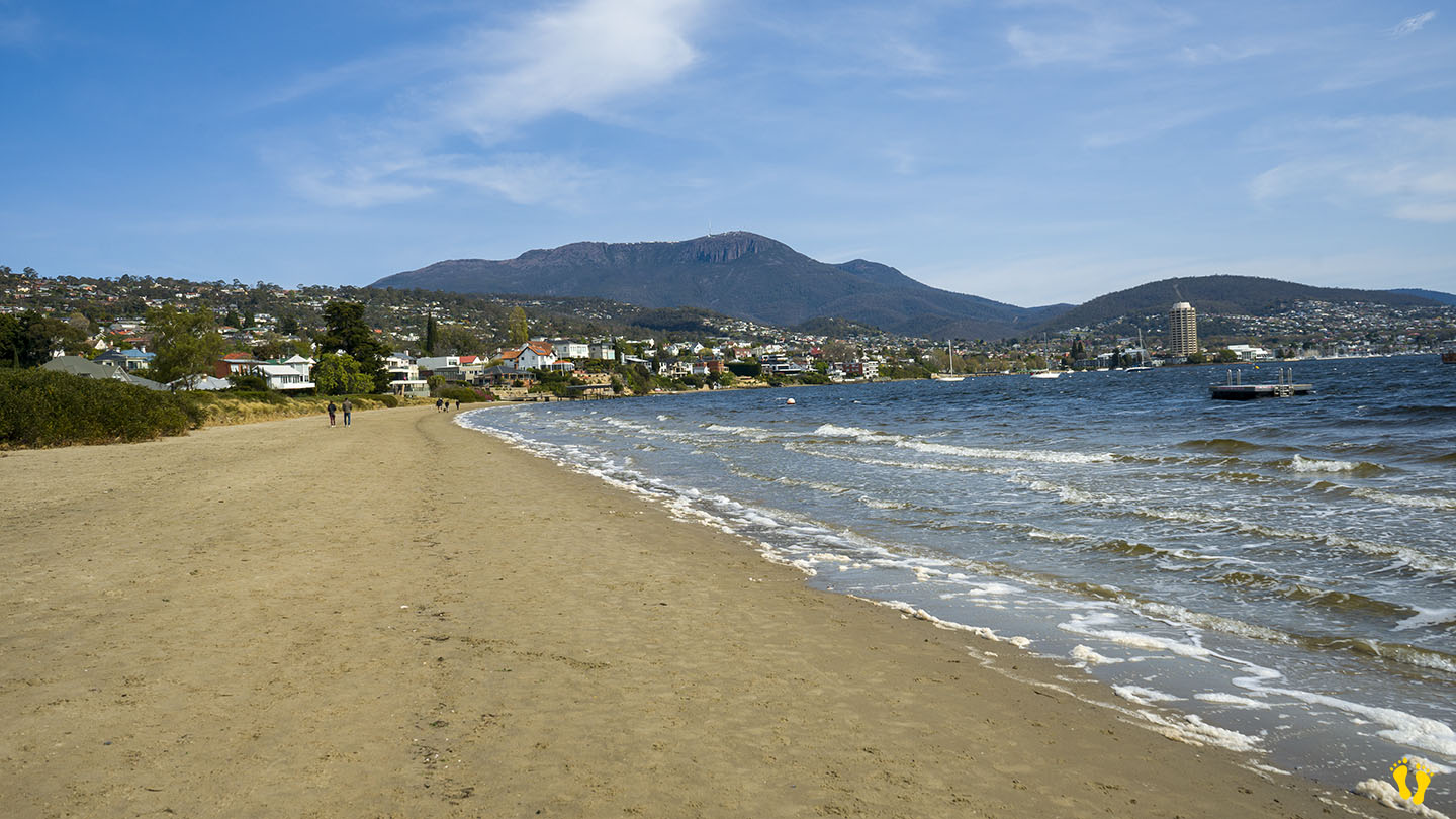
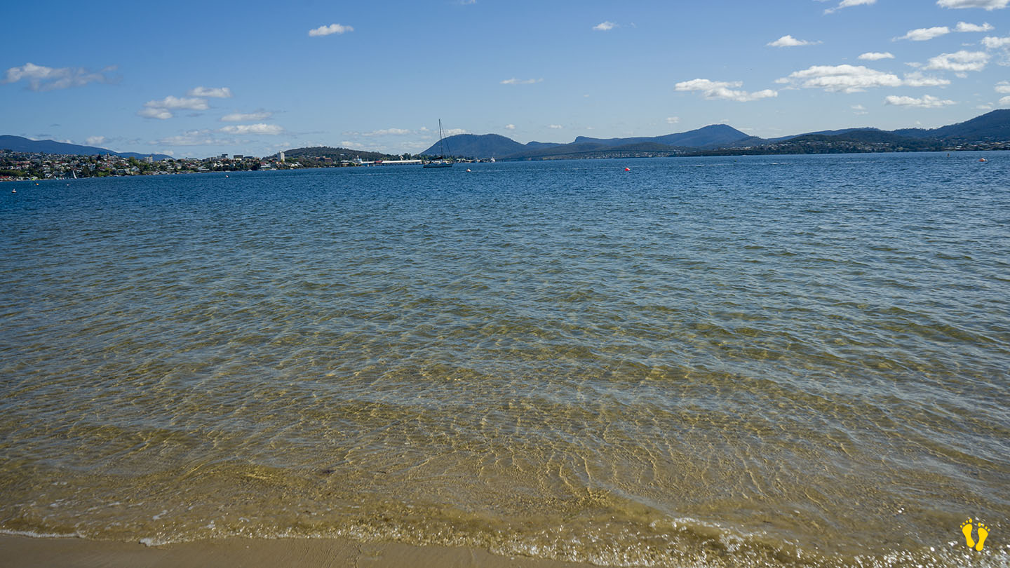
by Mickey Jarvis | Sep 28, 2024 | Greater Hobart, Low Hazard, South East
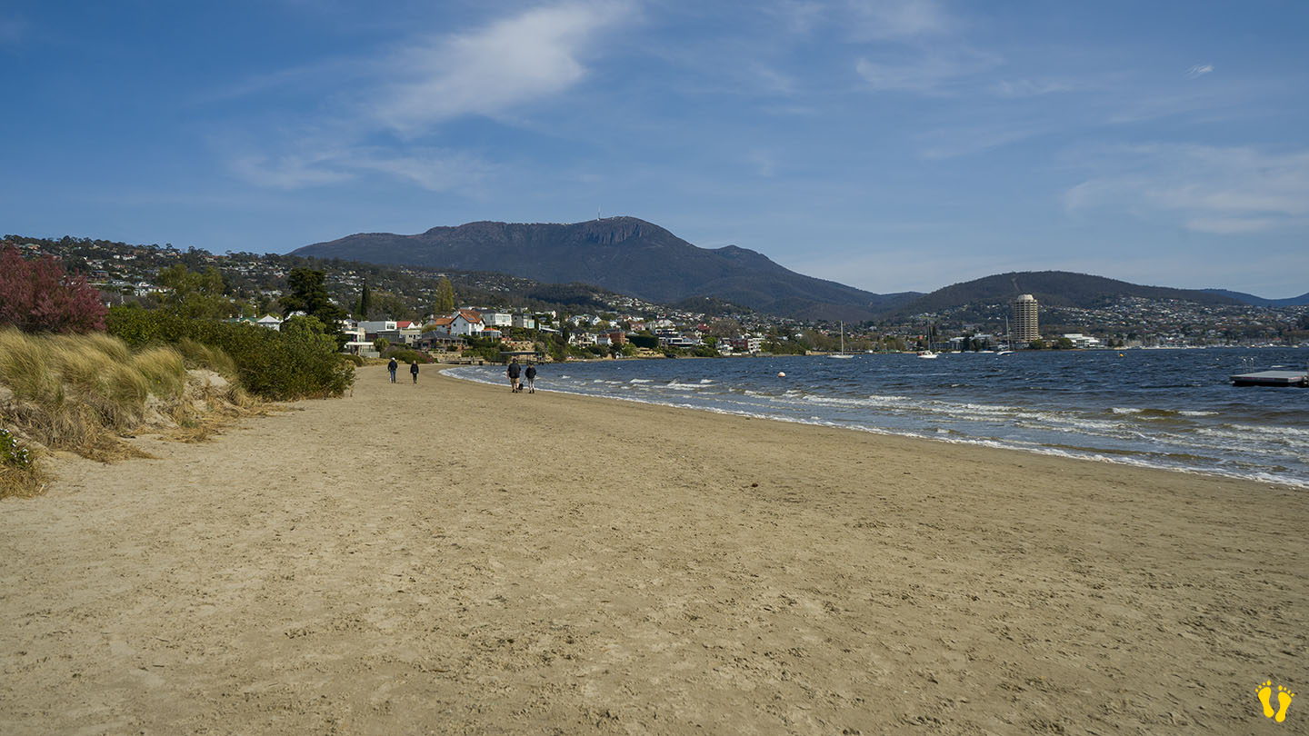
Near Sandy Bay |
Hazard Rating: 2/10 | Parking: Varied | from Hobart: 5 km | Faces: North into The Derwent River | Length: 700 m
Original People: Mouheneener people, a sub-group of the Nuennone. The Mouheneener held a permanent settlement on Long Beach called kreewer.
Originally Nutgrove Beach was a continuation of Long Beach. A basalt seawall was constructed in the 1970s to prevent foreshore erosion, dividing the beach in two. The new beach was named Nutgrove Beach after nearby Nutgrove House, an 1880s homestead built by John T. Read named after a small grove of walnut trees growing on the land.
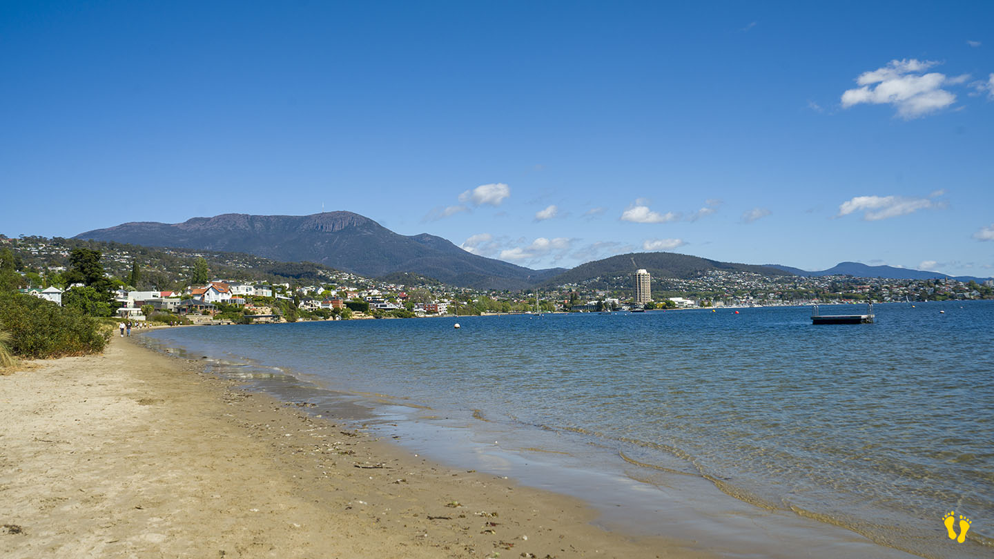
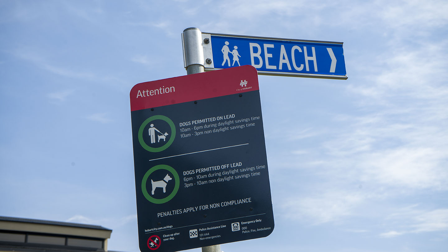
A beach with great views of kunanyi and the River Derwent – Timtumili Minanya. A floating pontoon is a great feature for kids. The beach is a favourite with dog walkers. No facilities except for nearby Long Beach.
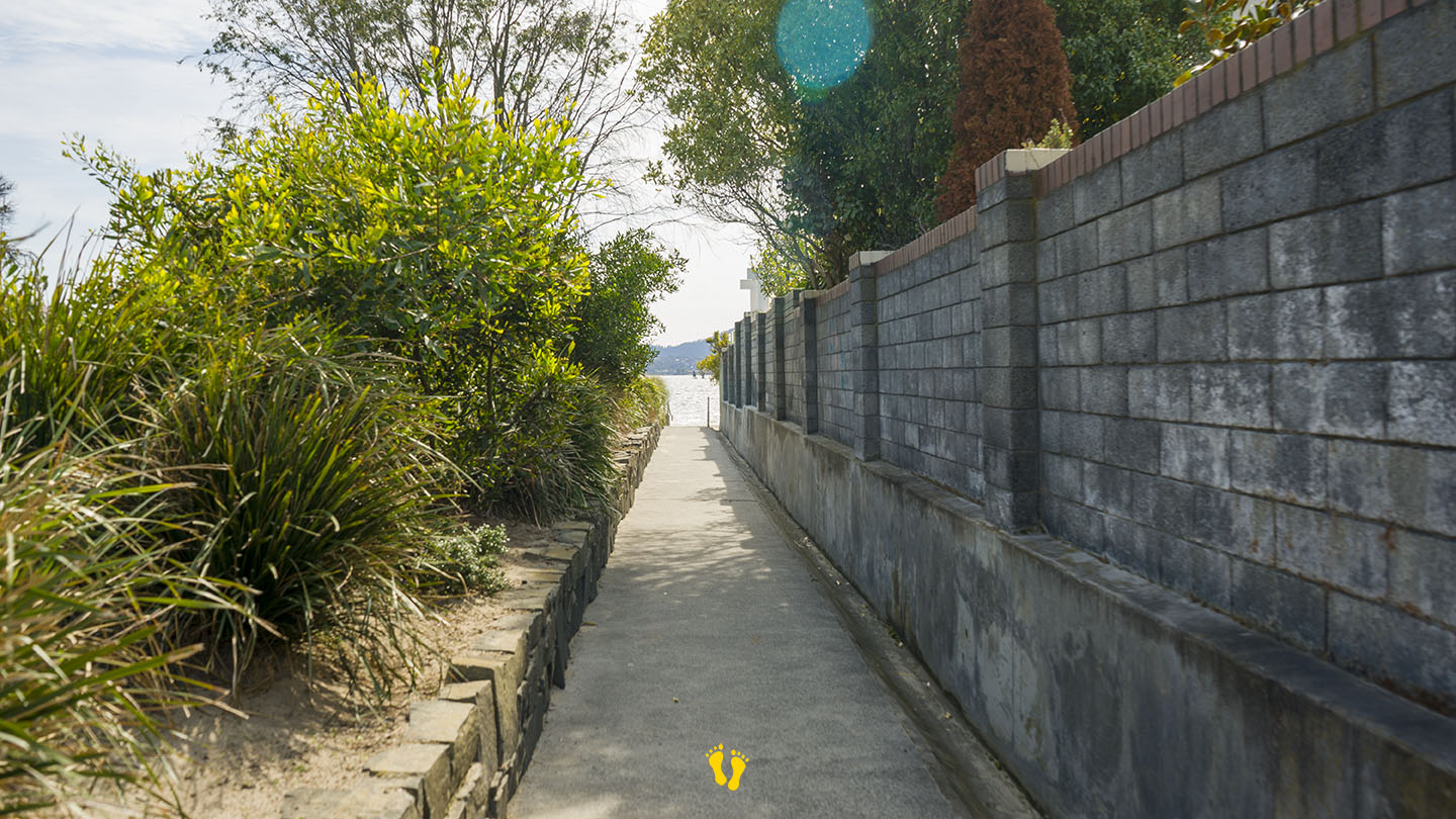
Access is via several walkways along its length with various degrees of parking availability. All are a 50m walk. Two access points mid-beach down Nutgrove Avenue at each end of Beechworth Road and two from the carpark at the end of Long Point Road, one beside the Sandy Bay Sailing Club which has good parking.