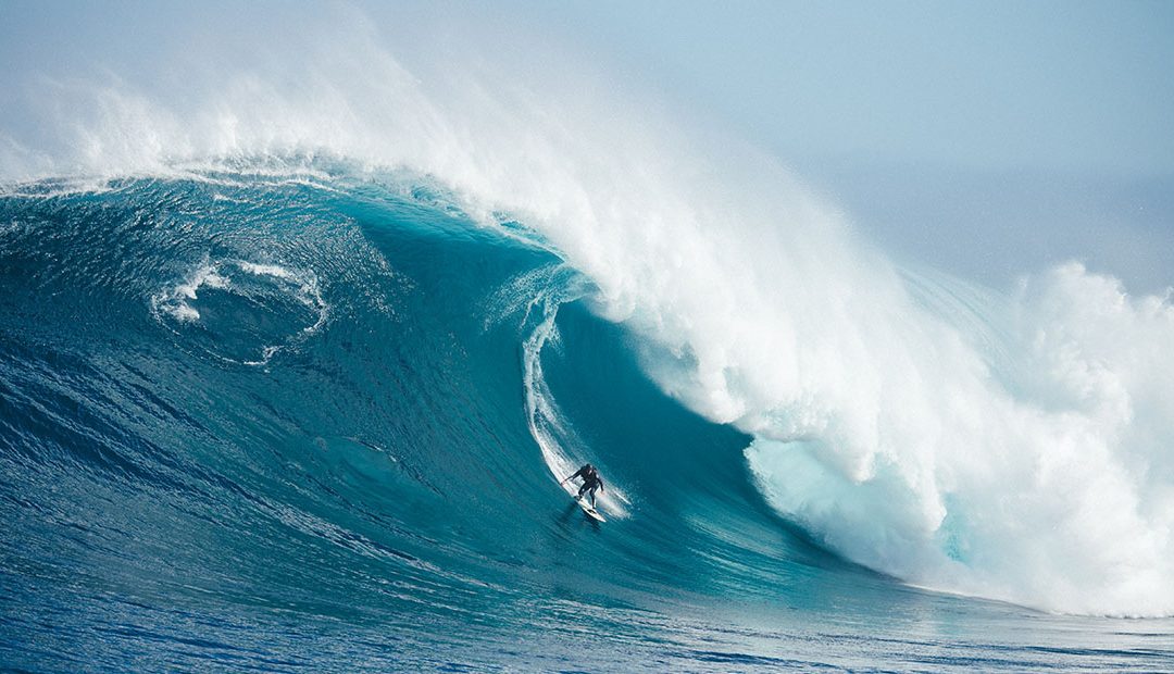
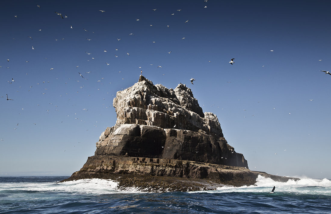
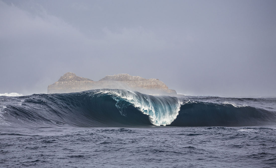
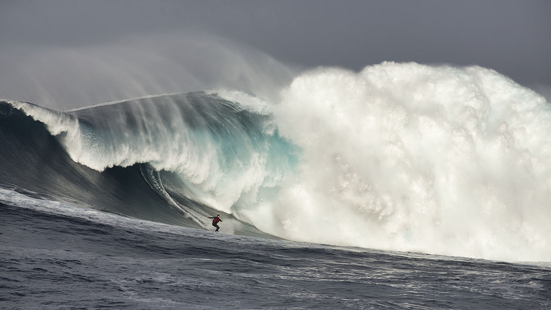
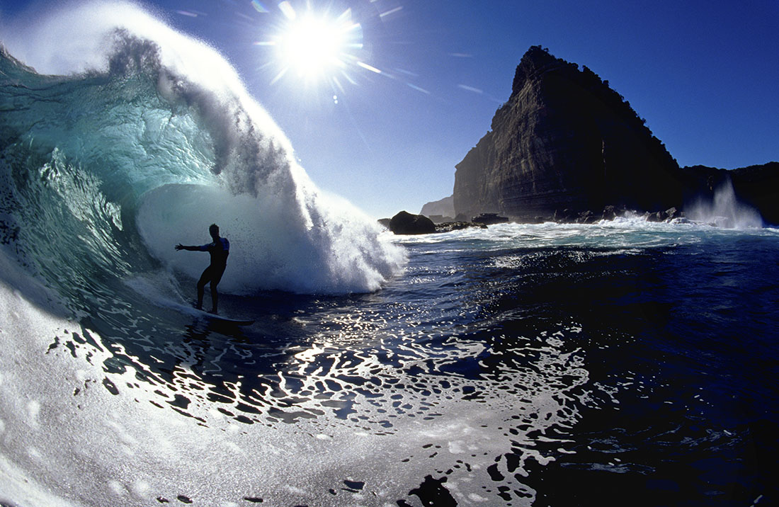
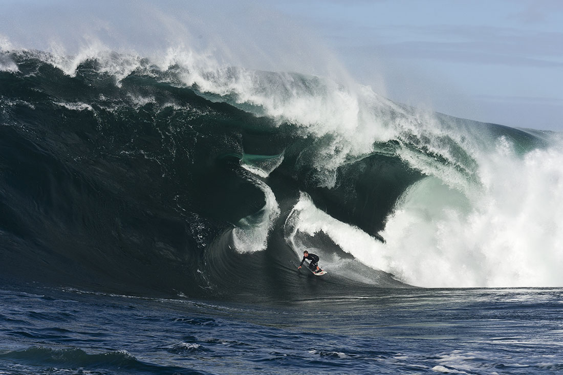
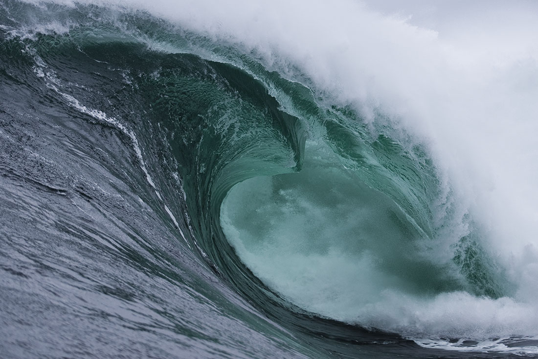
Hazard Rating: 10+/10 | Parking: None | from Hobart: A long way | Faces: South into Antarctica
Pedra Branca is an islet (rock or little island) situated 26km south of Tasmania with some of the most insane waves in the world. An erosional remnant of the Tasmanian mainland, approximately 270m long, 100m wide and an elevation of 60m, estimated to have separated from the Tasmanian mainland at least 15,000 years ago. Another nearby islet is Eddyston also a tower rock also with thunderous waves.
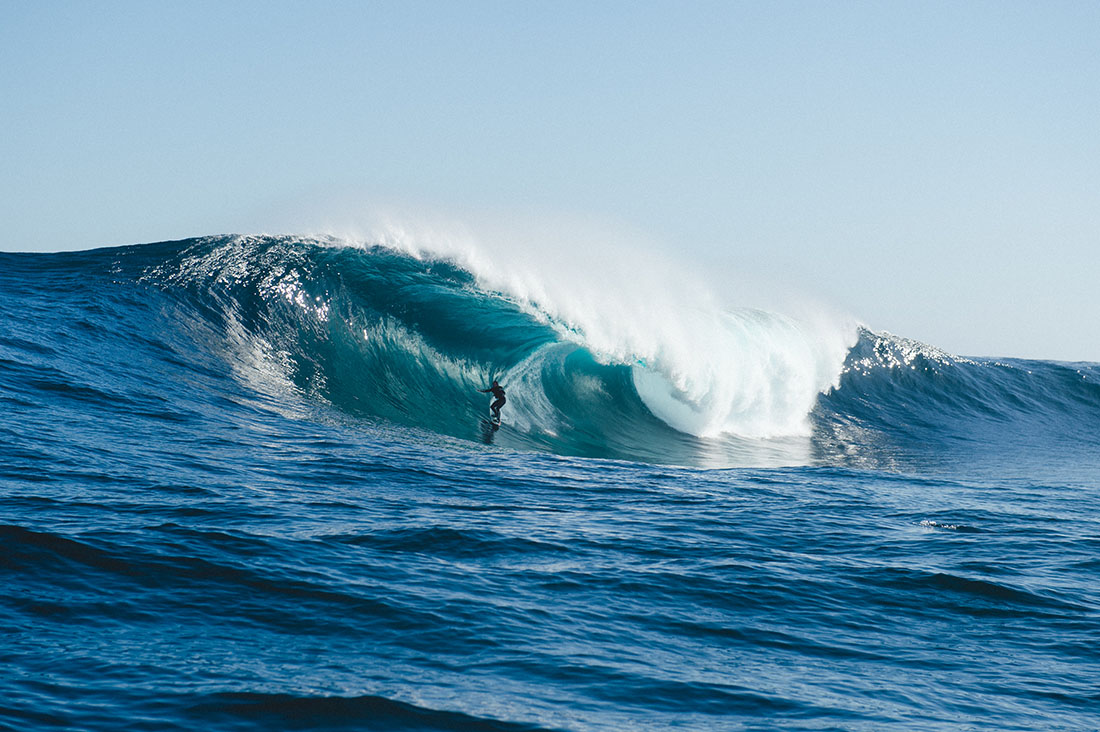
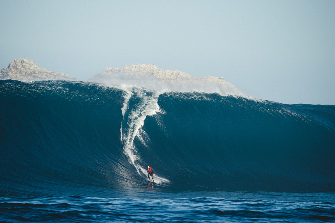
Pedra requires specific conditions to work. A long trip to get there and when you do the water is cold, great white sharks are common and the waves are bone breaking. Jet ski support is mandatory.
Pedra Branca was first recorded in 1642 by the Dutch explorer Abel Tasman and first surfed in October 2008 by Marti Paradisis. Pedra Branca is Portugese for White Rock, probably because it’s covered in bird poo.
Surf photos provided by Stu Gibson, a leading Tasmanian surf photographer.
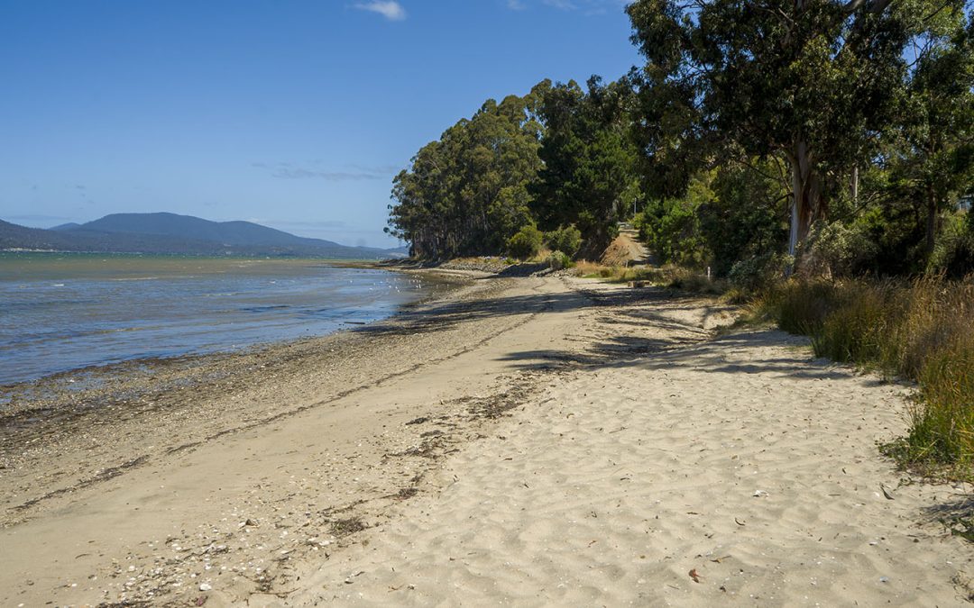
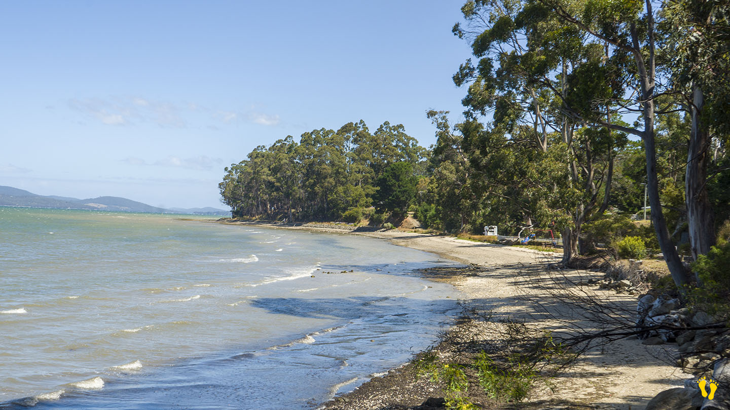
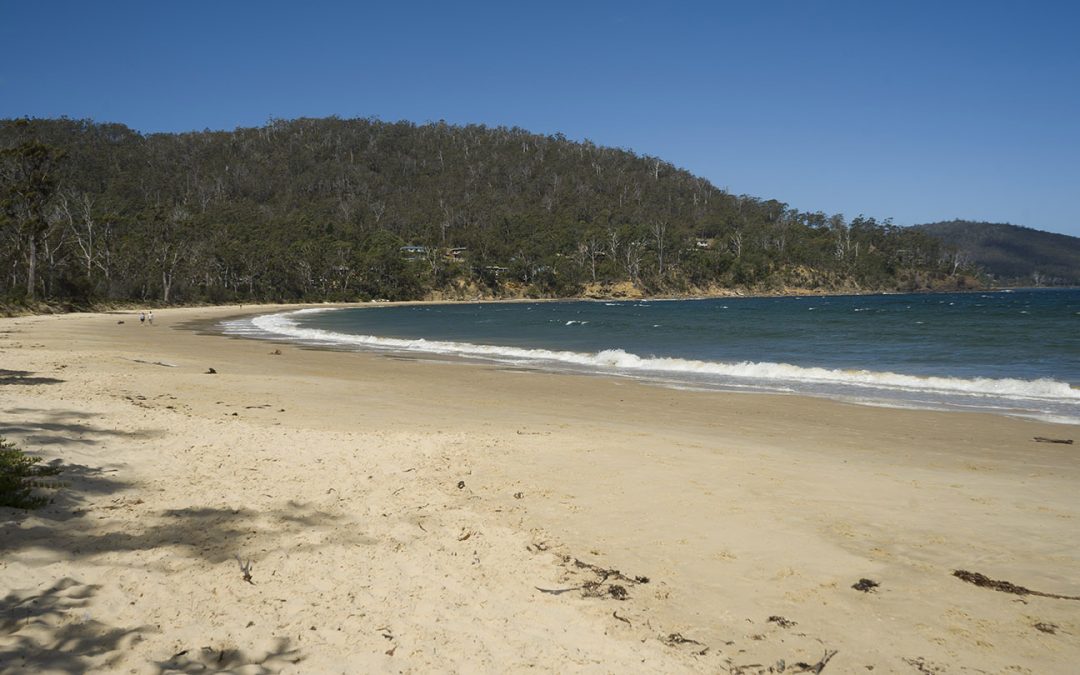
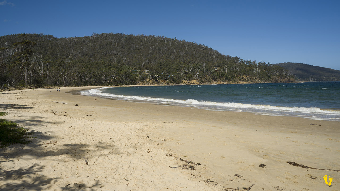
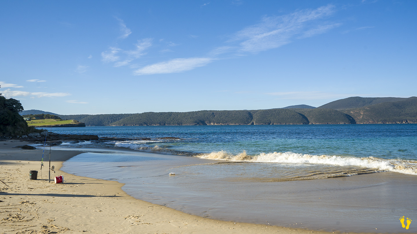
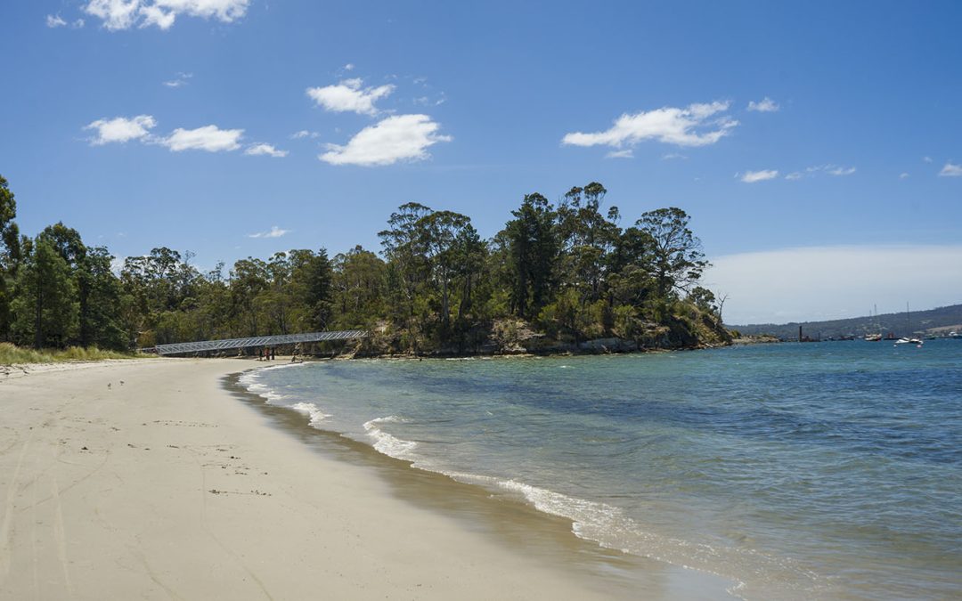
Channel Highway | Hazard Rating: Low | Parking: Good + close | from Hobart: 58 km | Faces: South into Huon River | Length: 600 m
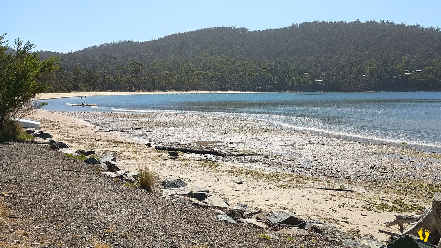
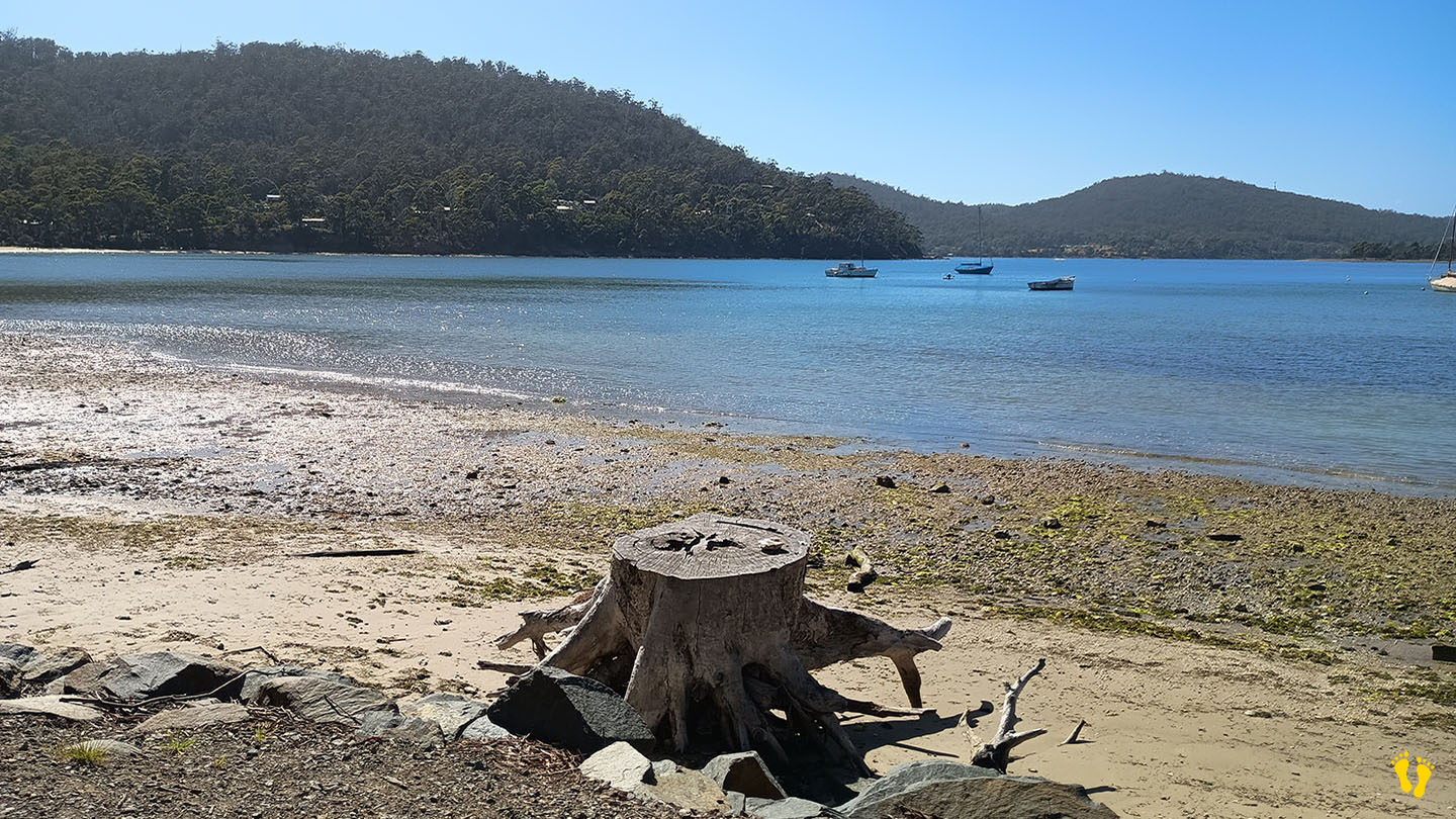
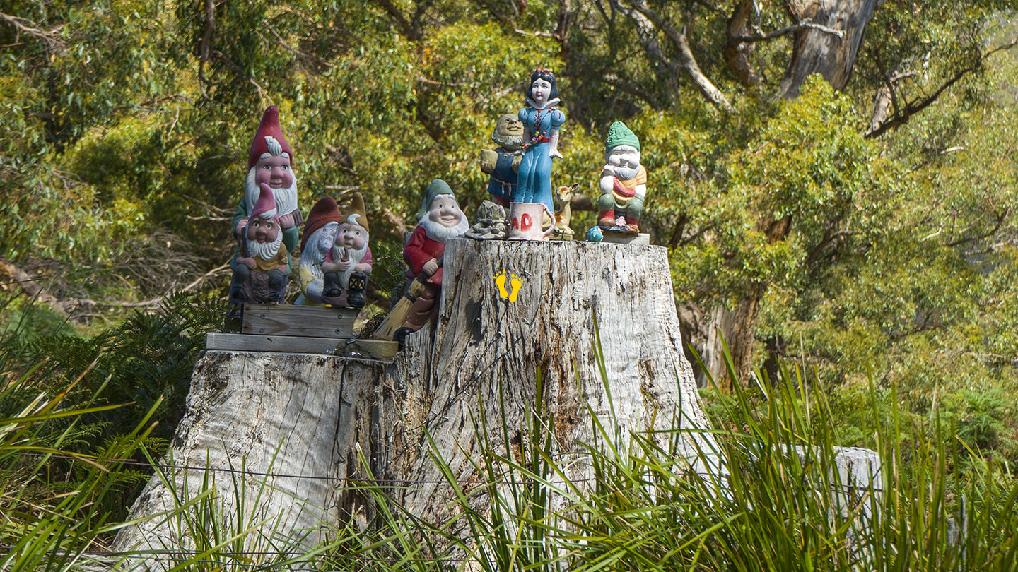
Situated between Verona Sands and Cygnet, turn off the Channel Highway onto Randalls Bay Road (or Abels Road), don’t forget to pay homage to the gnomes on the way in, otherwise you will have bad luck! Further accessed along Williams Road. A popular beach on sunny days – you may even see an ice cream van!
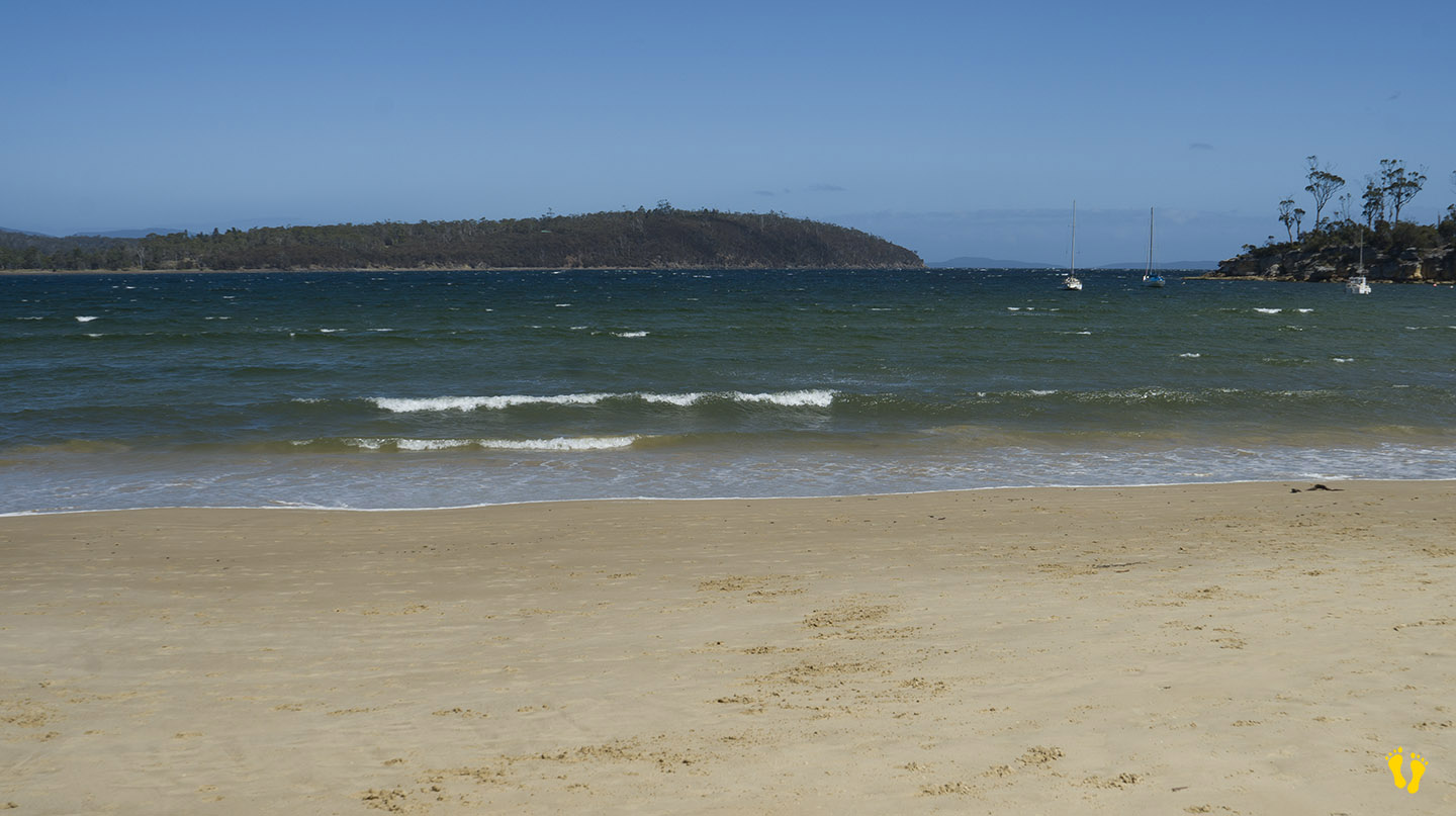
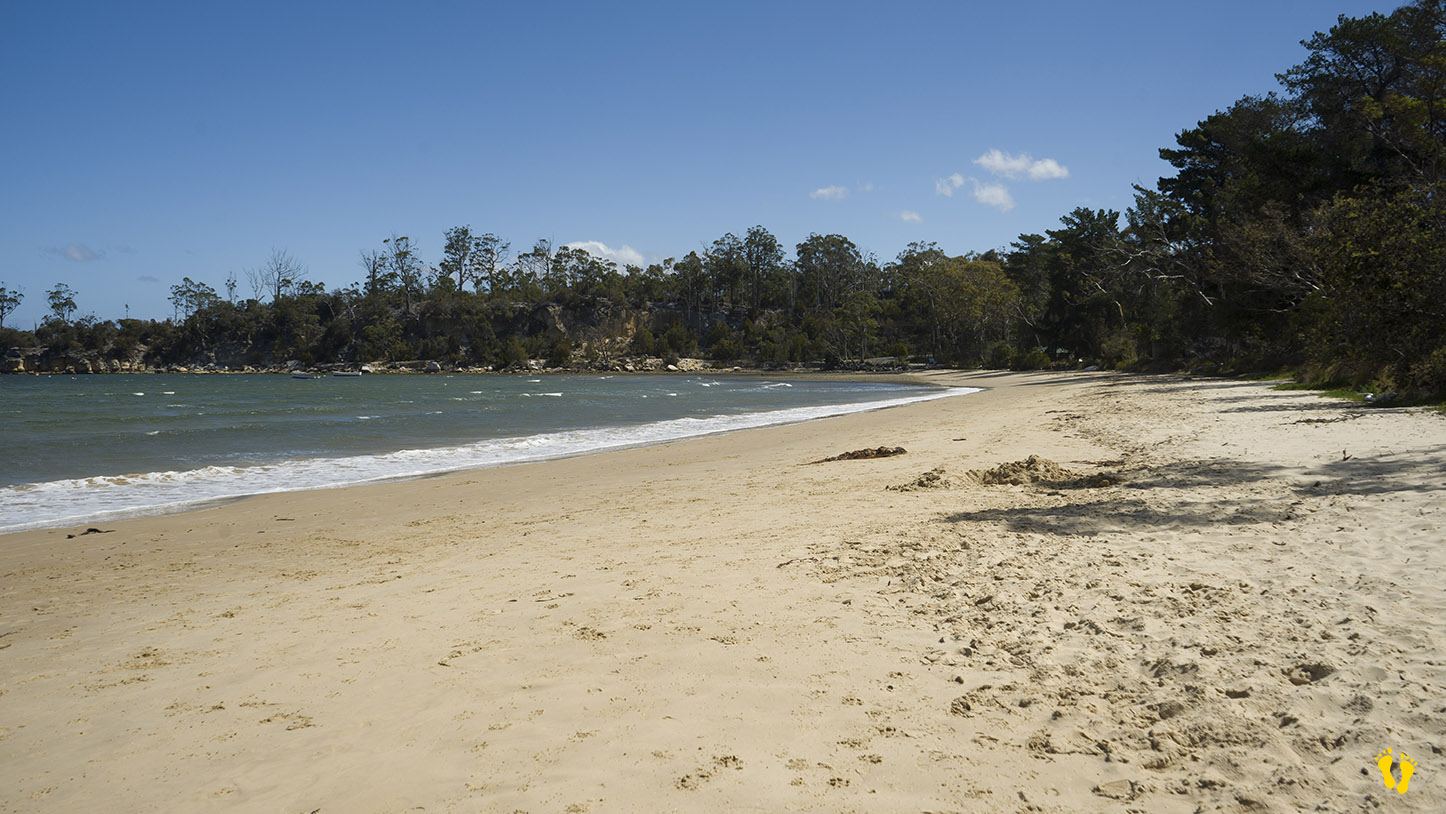
A long sandy beach generally calm bay as it is protected by Garden and Bruny Islands, may have wind chop depending on wind strength and direction.
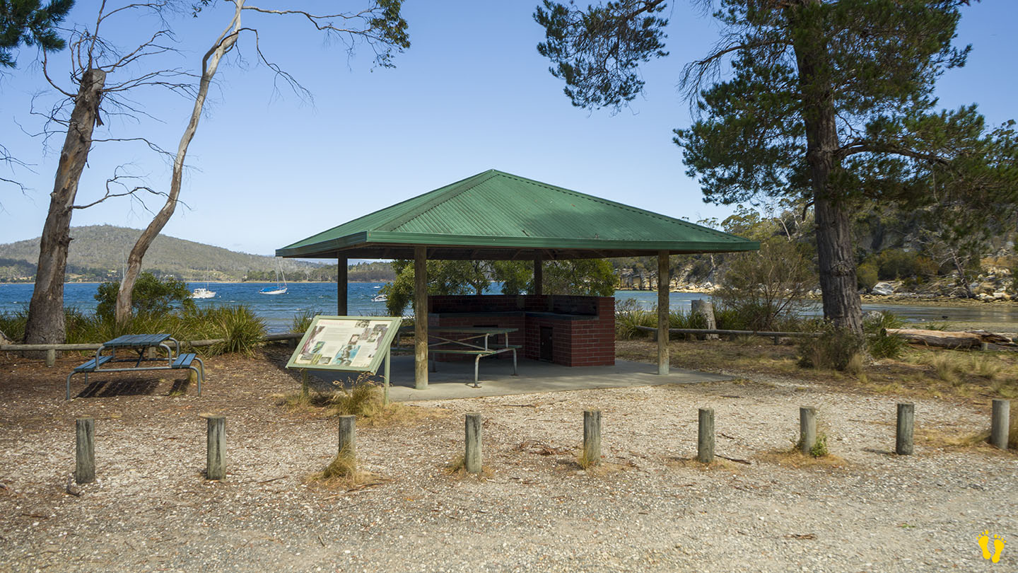
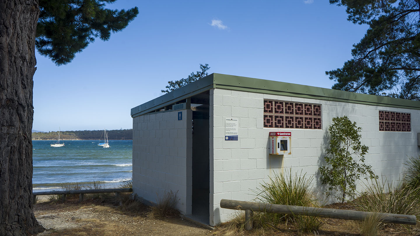
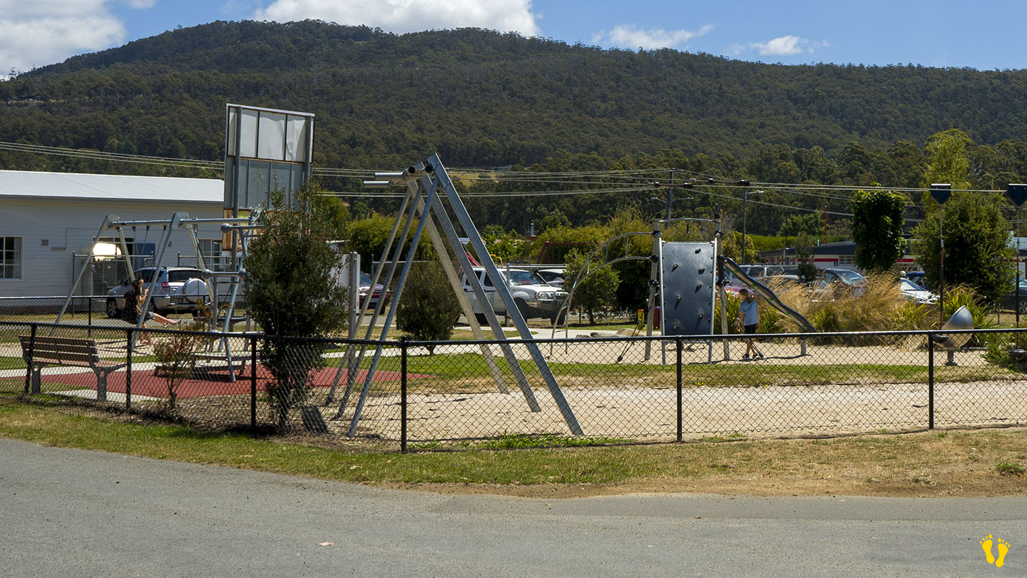
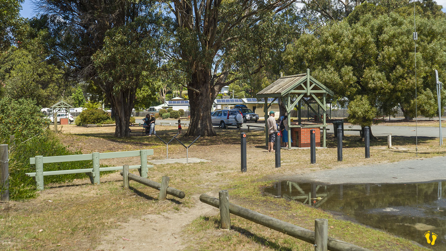
Great for kids to swim and kayak. There are toilets and a covered BBQ area.
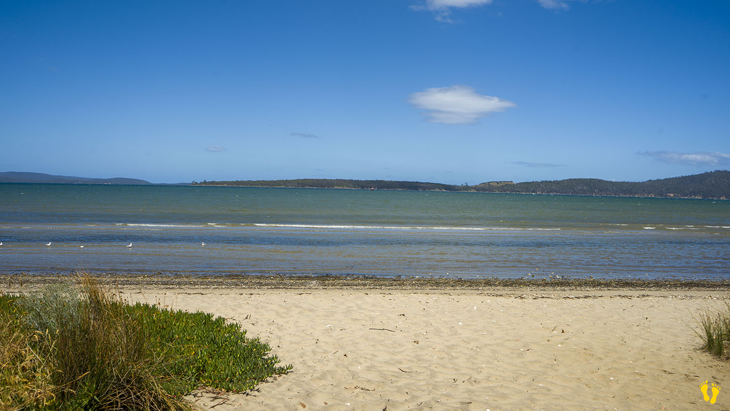
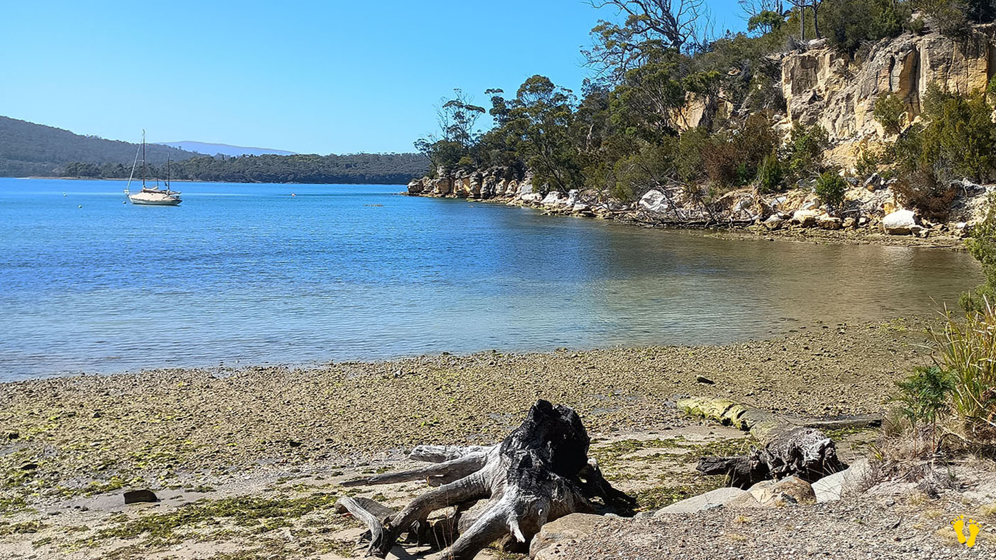
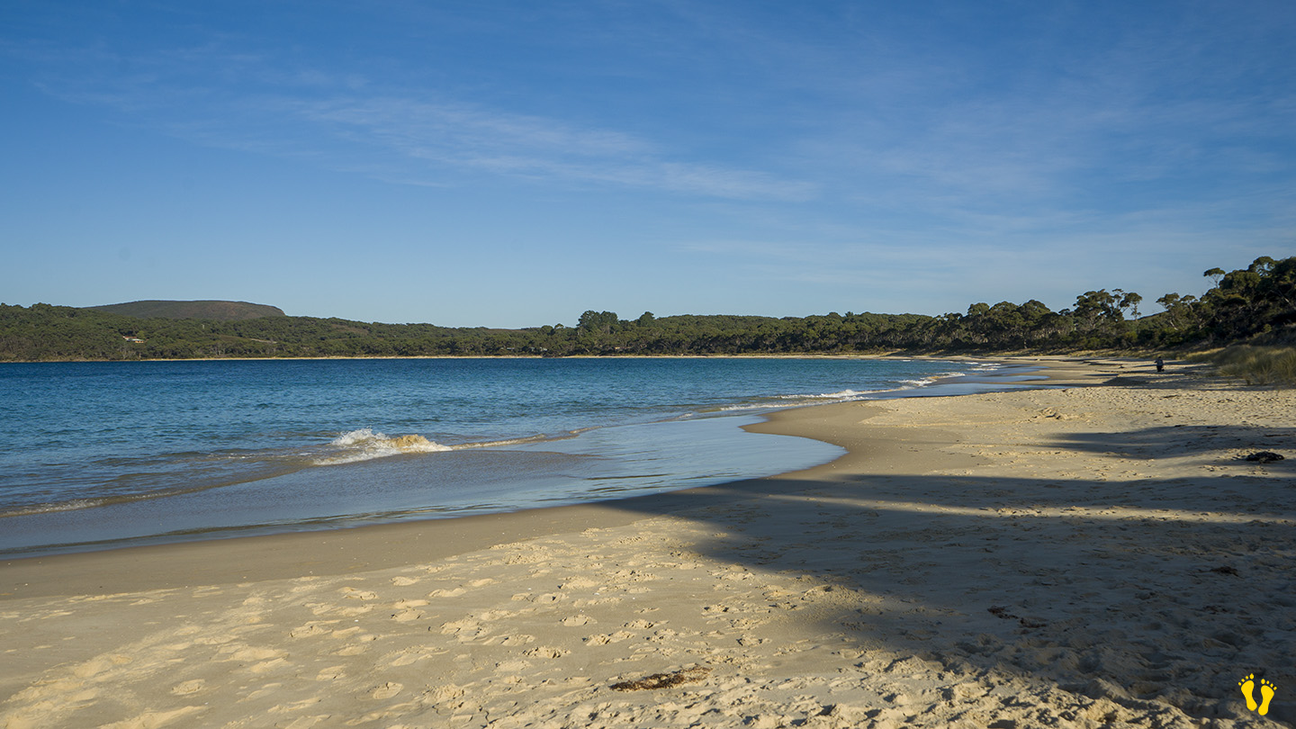
The west end is also the start of the Mickeys Beach walking track. A basic 3km (return) track to a small hidden gem of a beach (I am not at all biased because they named it after me!). About a 1 hour return but you will want to stay and take in the beauty of Mickeys Beach and maybe have a swim. 500m into the walk, a short detour leads south to the tip of the coast with views of Cray Point, Garden Island, Bruny Island and the D’Entrecasteaux Channel.
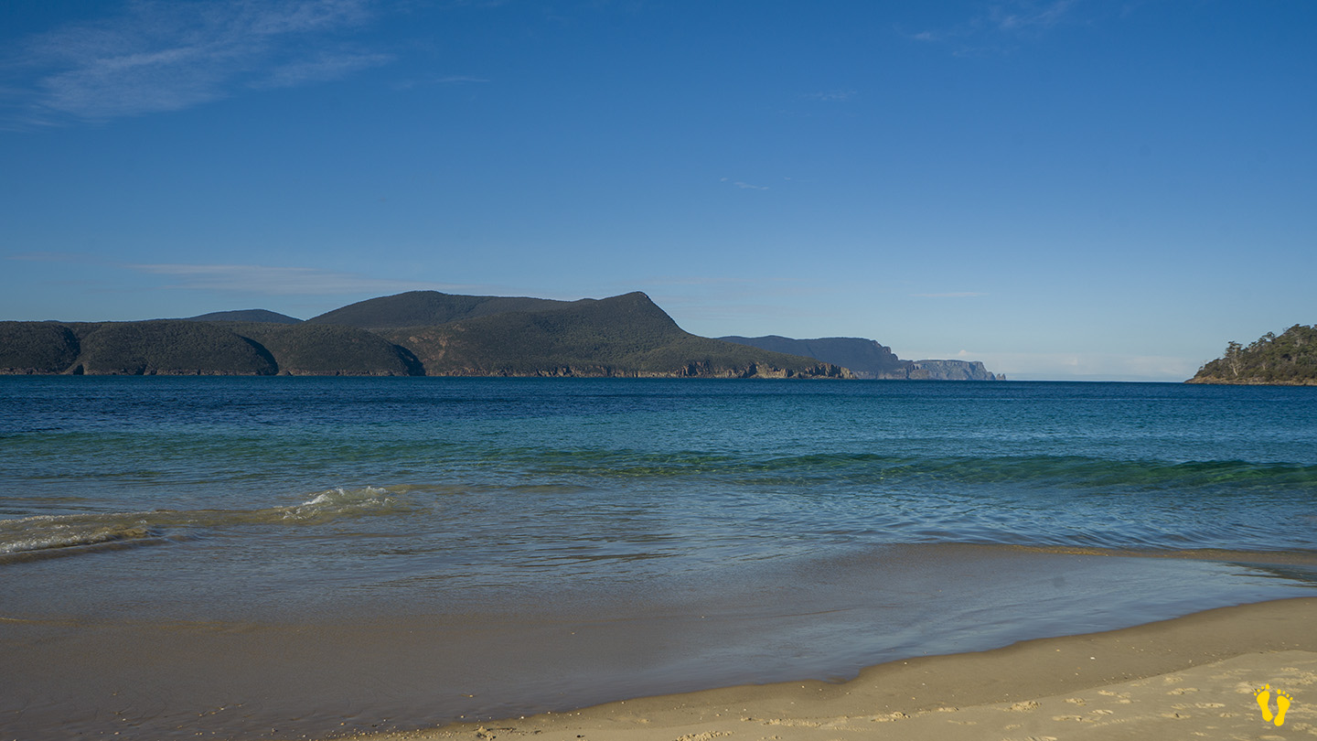
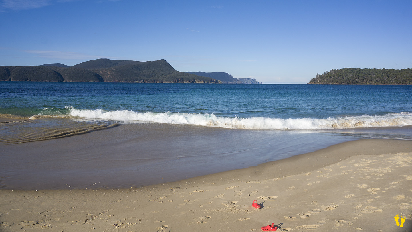
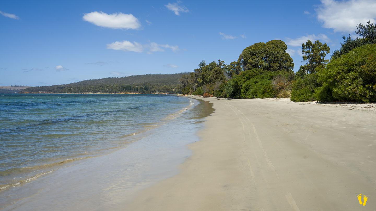
South of Port Arthur | Hazard Rating: 2-3/10 | Parking: Limited | from Hobart: 96 km | Faces: East | Length: 1.6 km
Original Name: Turrakana, the homeland of the Pydairrerme (Tasman Peninsula’s Aboriginal people)
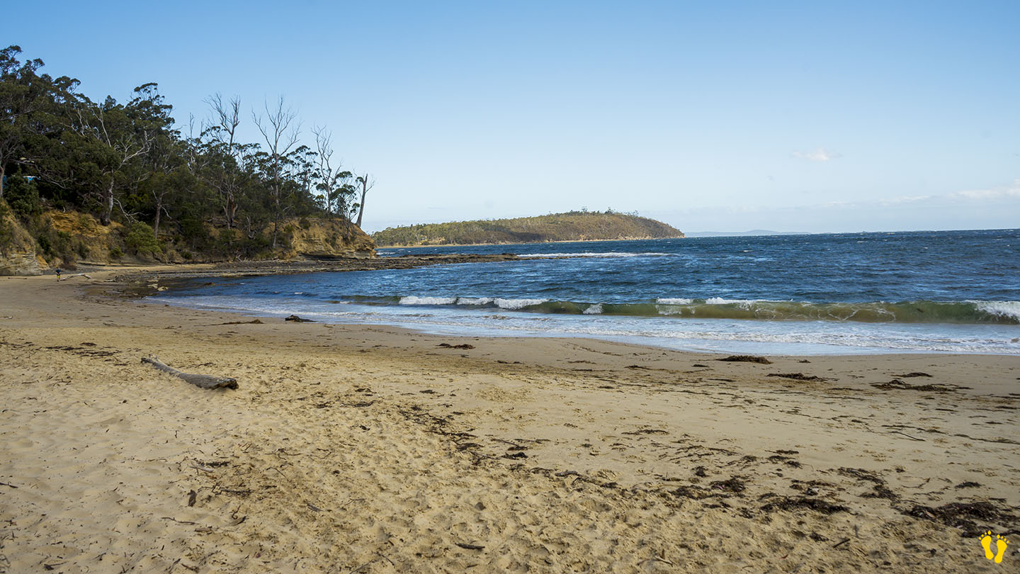
Safety Cove Beach is about 4 km south of Port Arthur – down Safety Cove Road (on the way to Remarkable Cave).
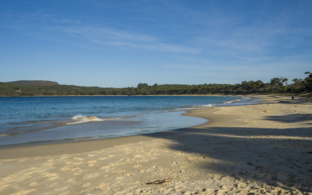
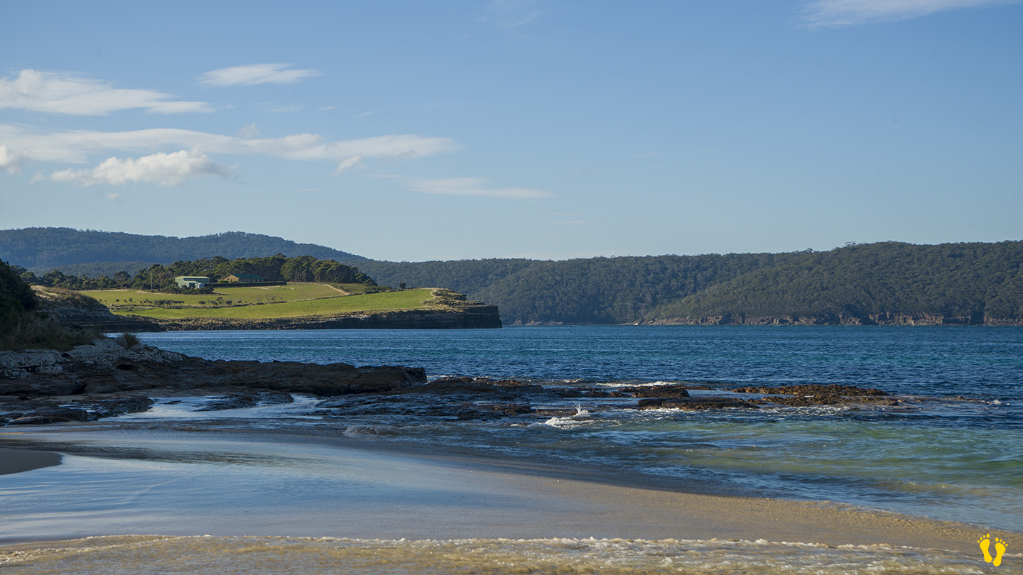
A stunning long beach with usually calm waters ideal for families and kids (but it can depend on the wind, weather and swells on the day). Secluded, generally unknown (except to the locals), a great beach for swimming, fishing or a walk. Oh, and don’t forget the spectacular views of the west coast of Cape Pillar and glimpses of Tasman Island and the southern ocean.
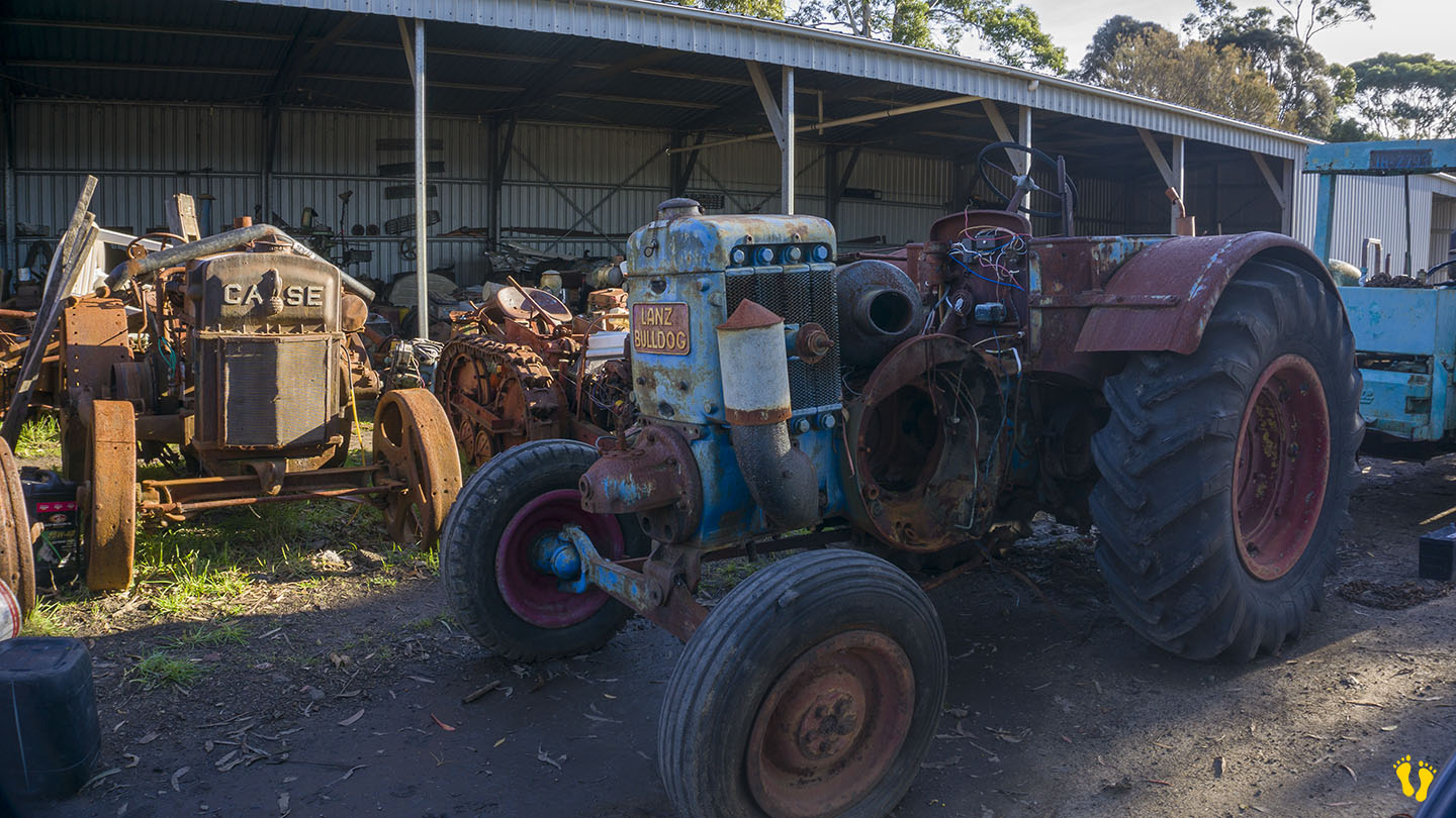
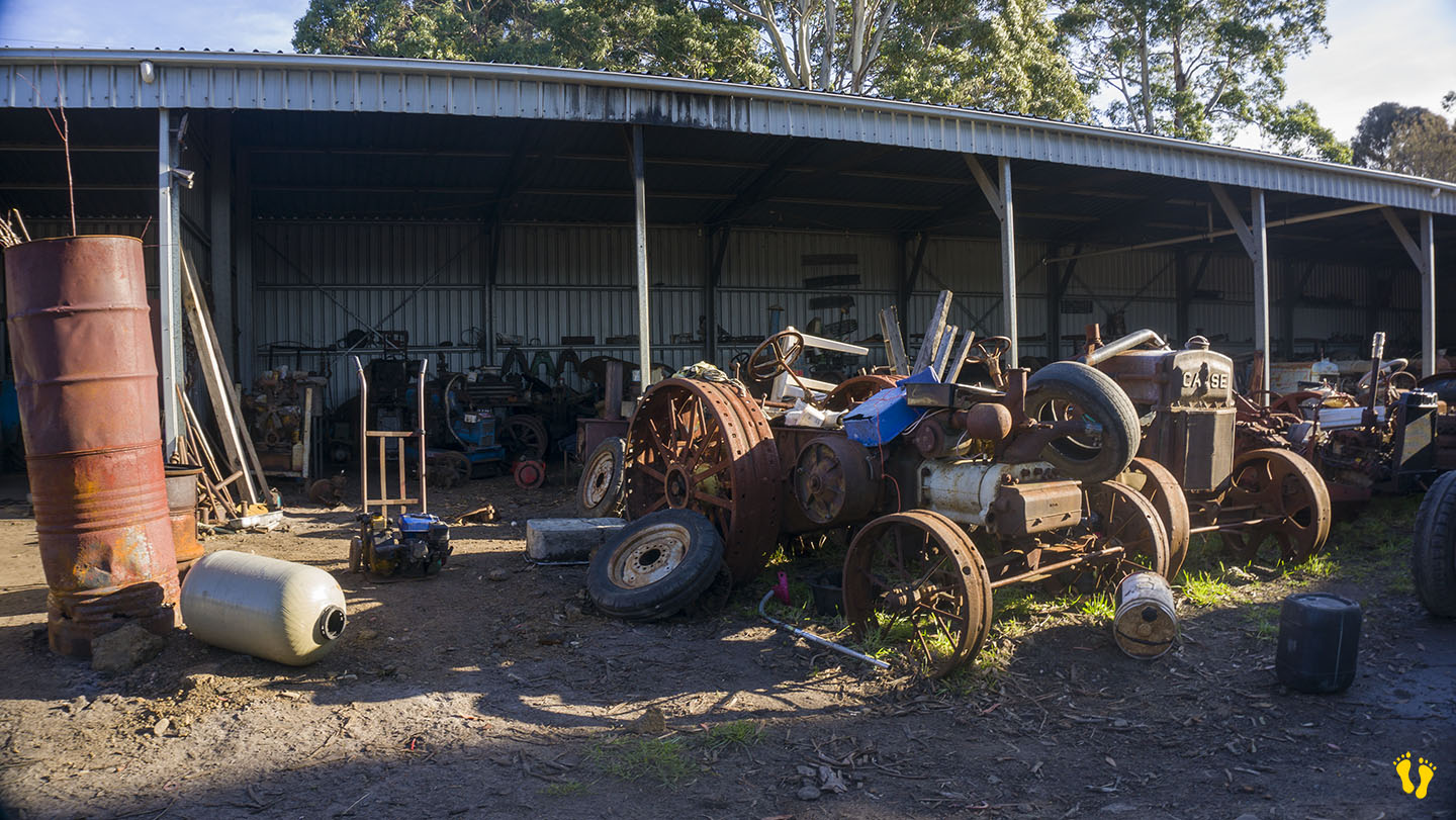
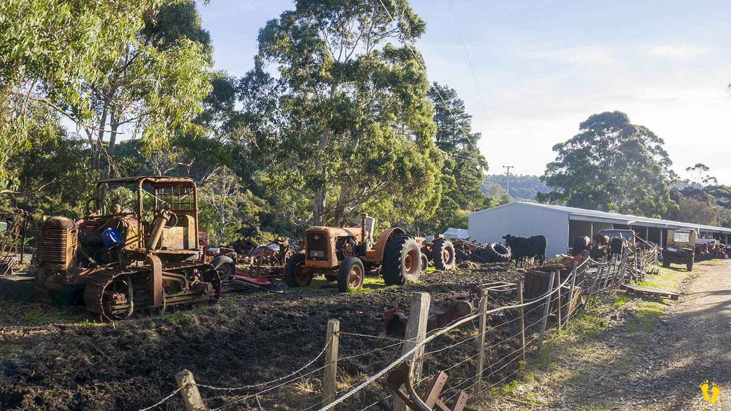
Mainly accessed from the north end but access is also available at the south end down Dog Bark Road. This will take you past the most fantastic display of old tractors I have ever seen – worth a look!.
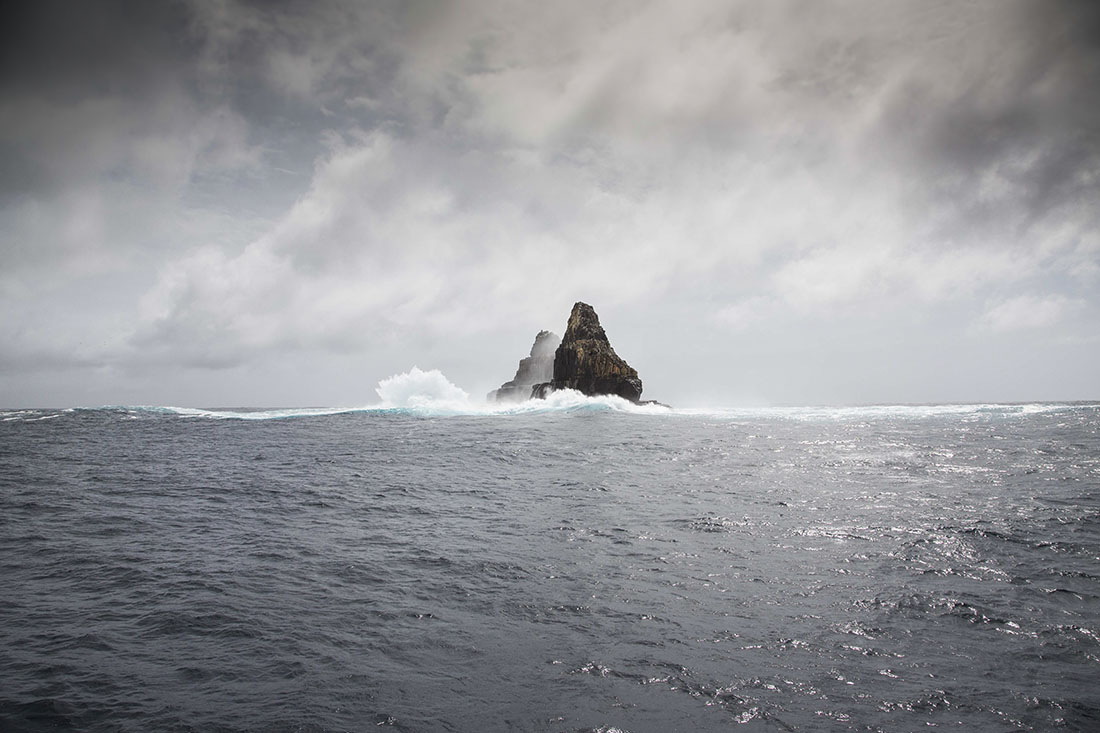
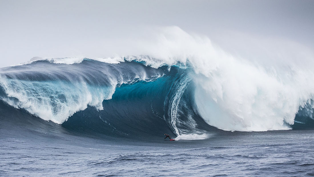
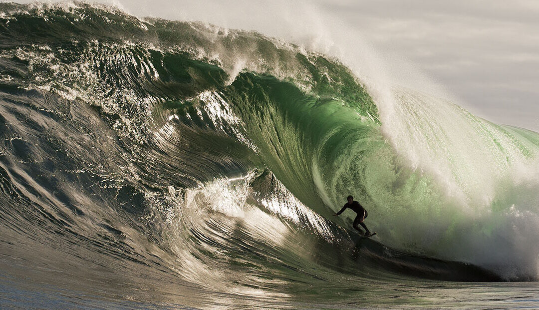
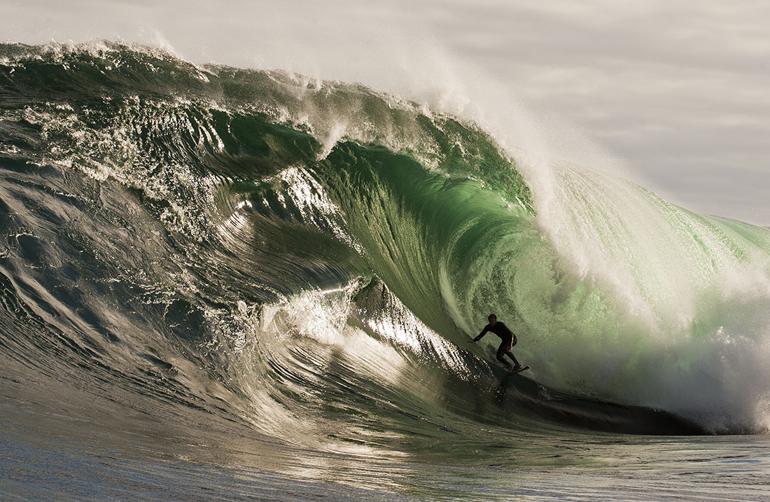
Hazard Rating: 10+/10 | Parking: None | from Hobart: A long way | Faces: South into Antarctica
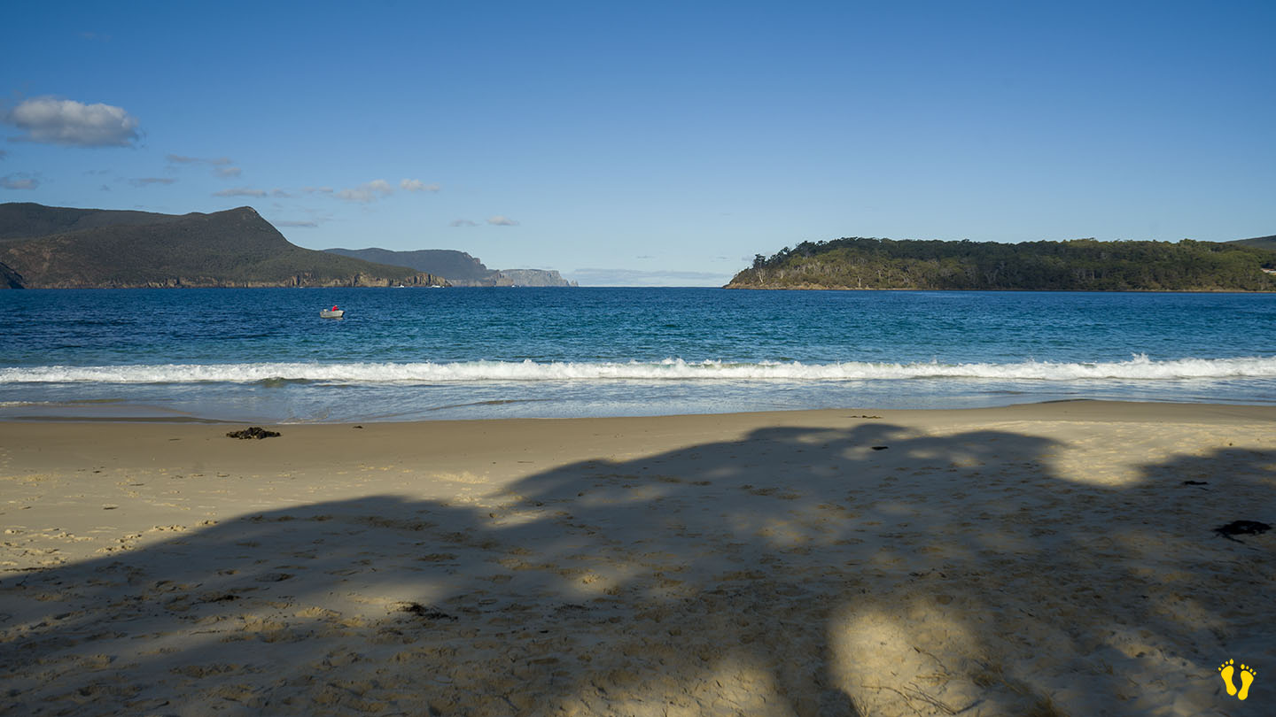
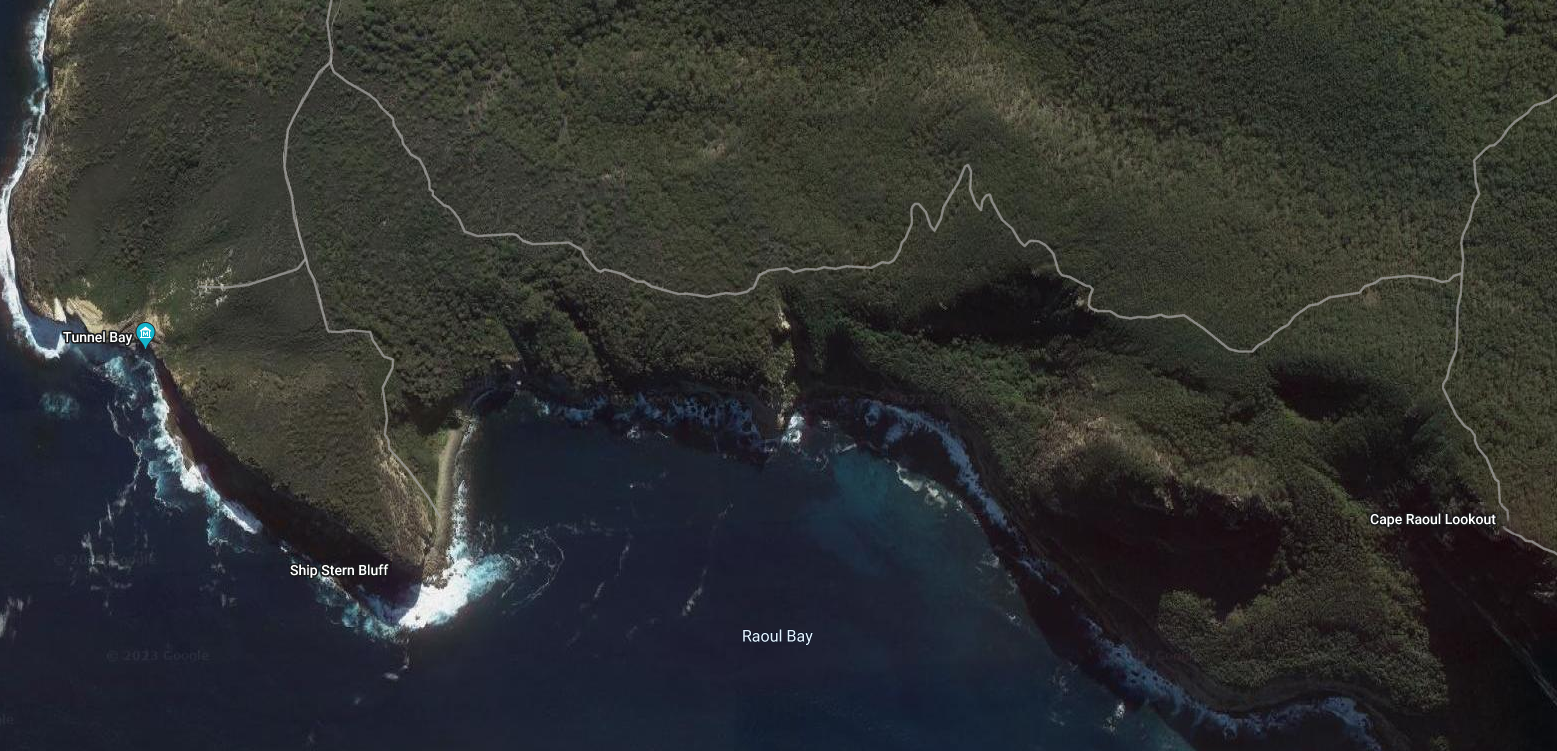
Located in Cape Raoul Bay, south east Tasmania and accessed by a 8 km walk or by boat. ‘Shippies’ is one the the wildest & most dangerous surf breaks in the world. Multi faceted surf steps and great white sharks make it a top challenge.
It’s name comes from the shape of the bluff which looks likes the ‘stern’ of a ship.
Surf photos provided by: Stu Gibson, a leading Tasmanian surf photographer.