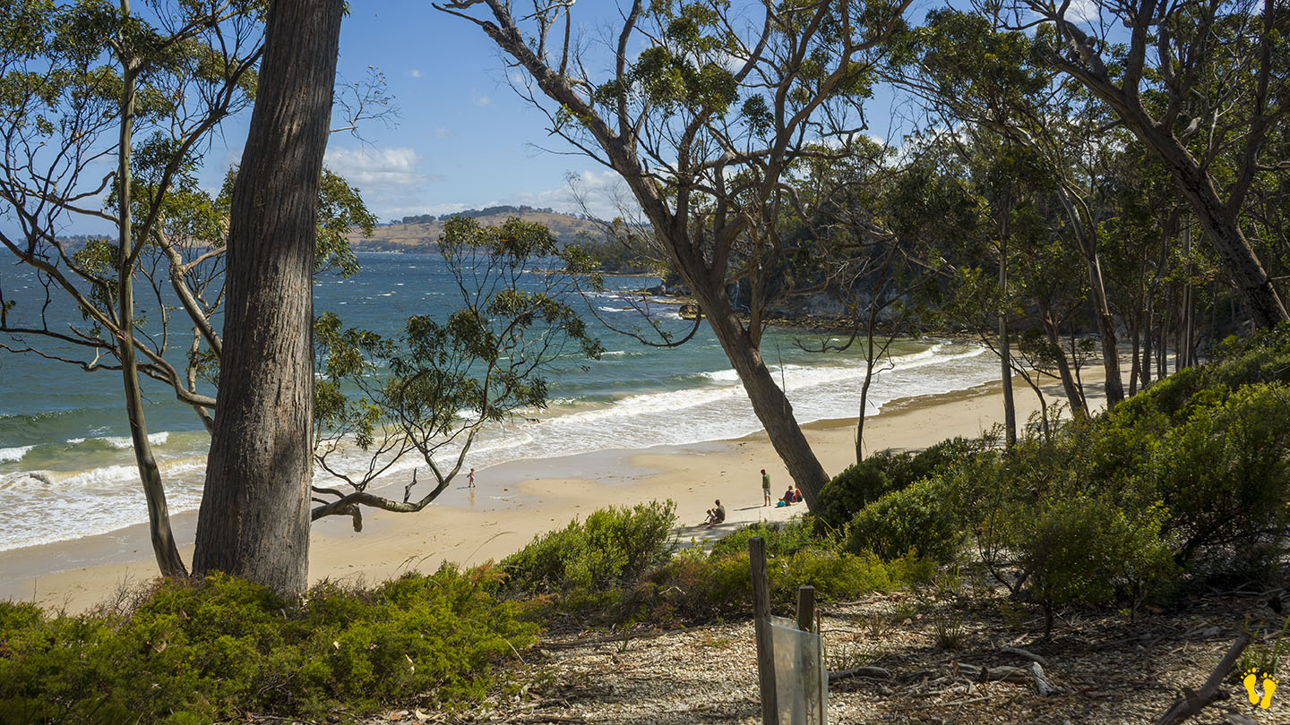
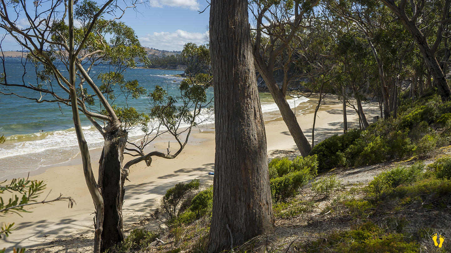
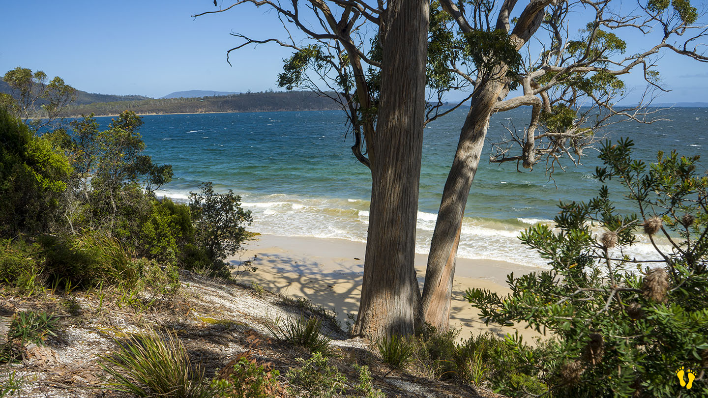
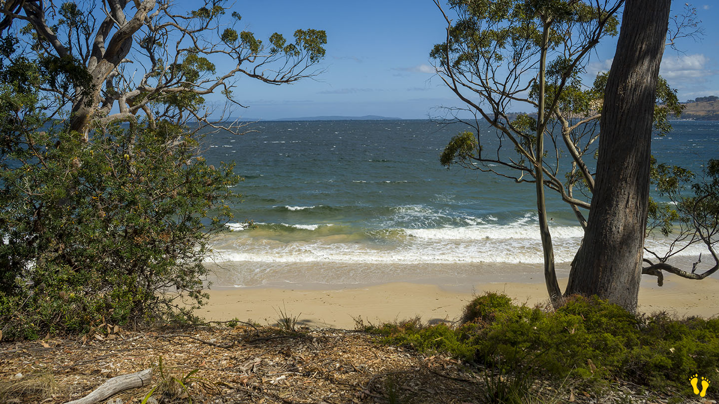
Located in a rugged and isolated part of Tasmania with stunning views
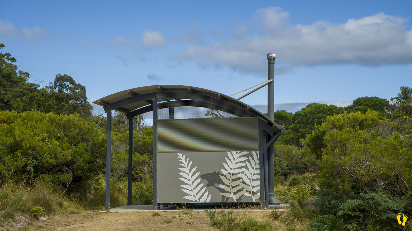
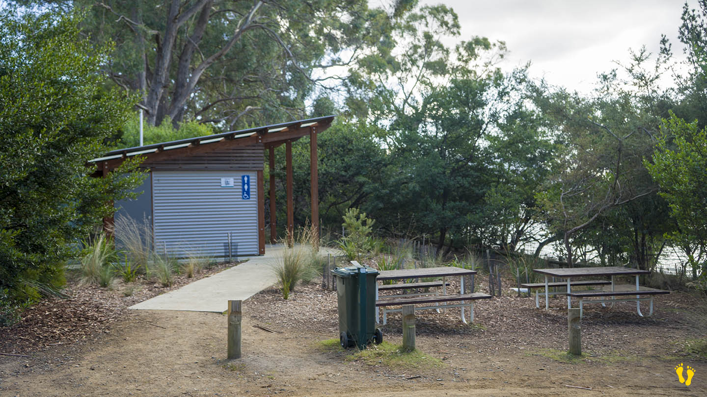
Basic amenities
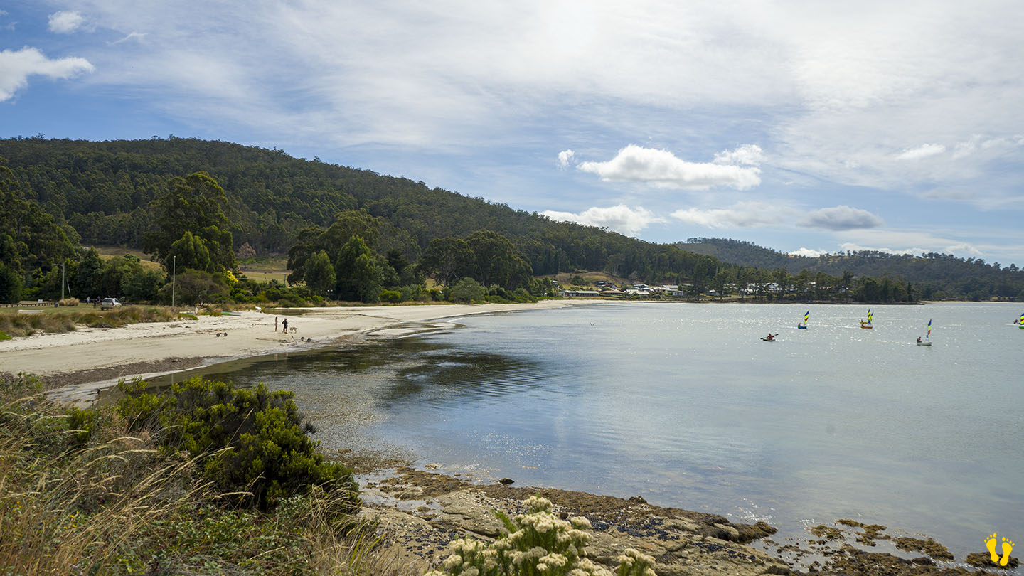
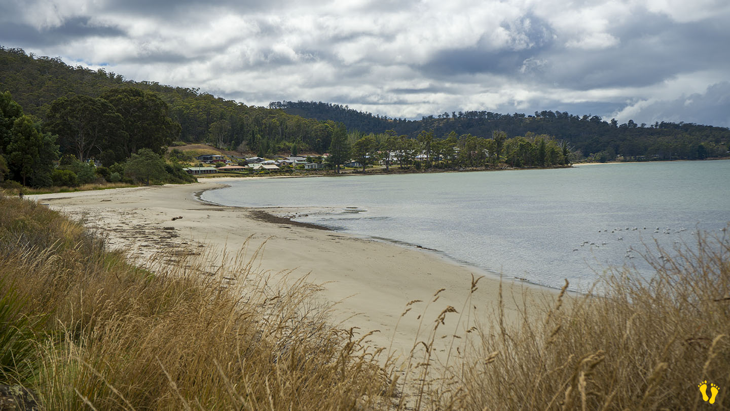
Protected from south/southwest weather
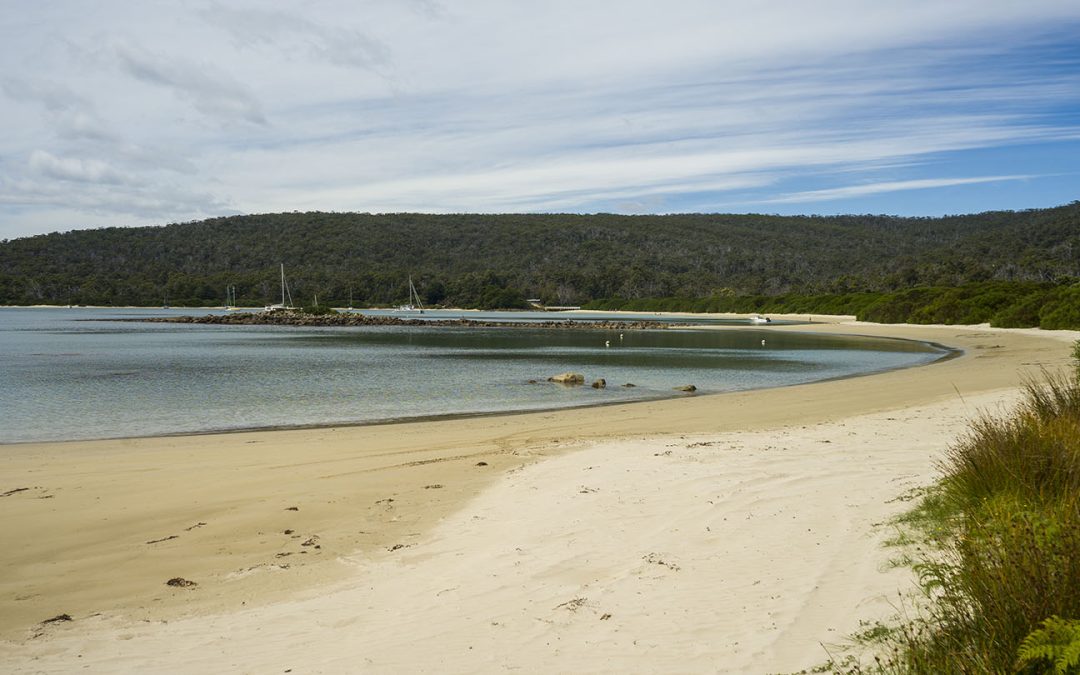
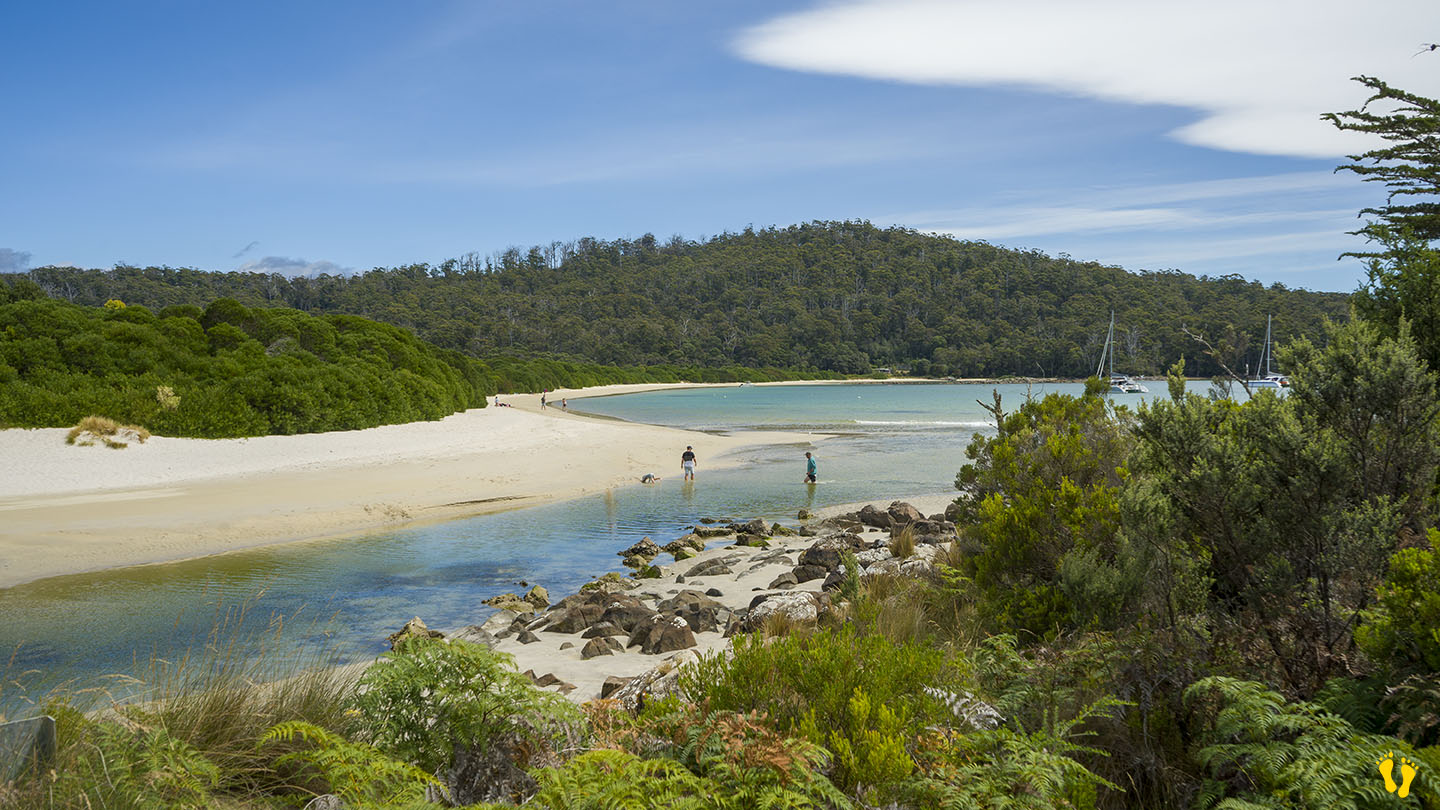
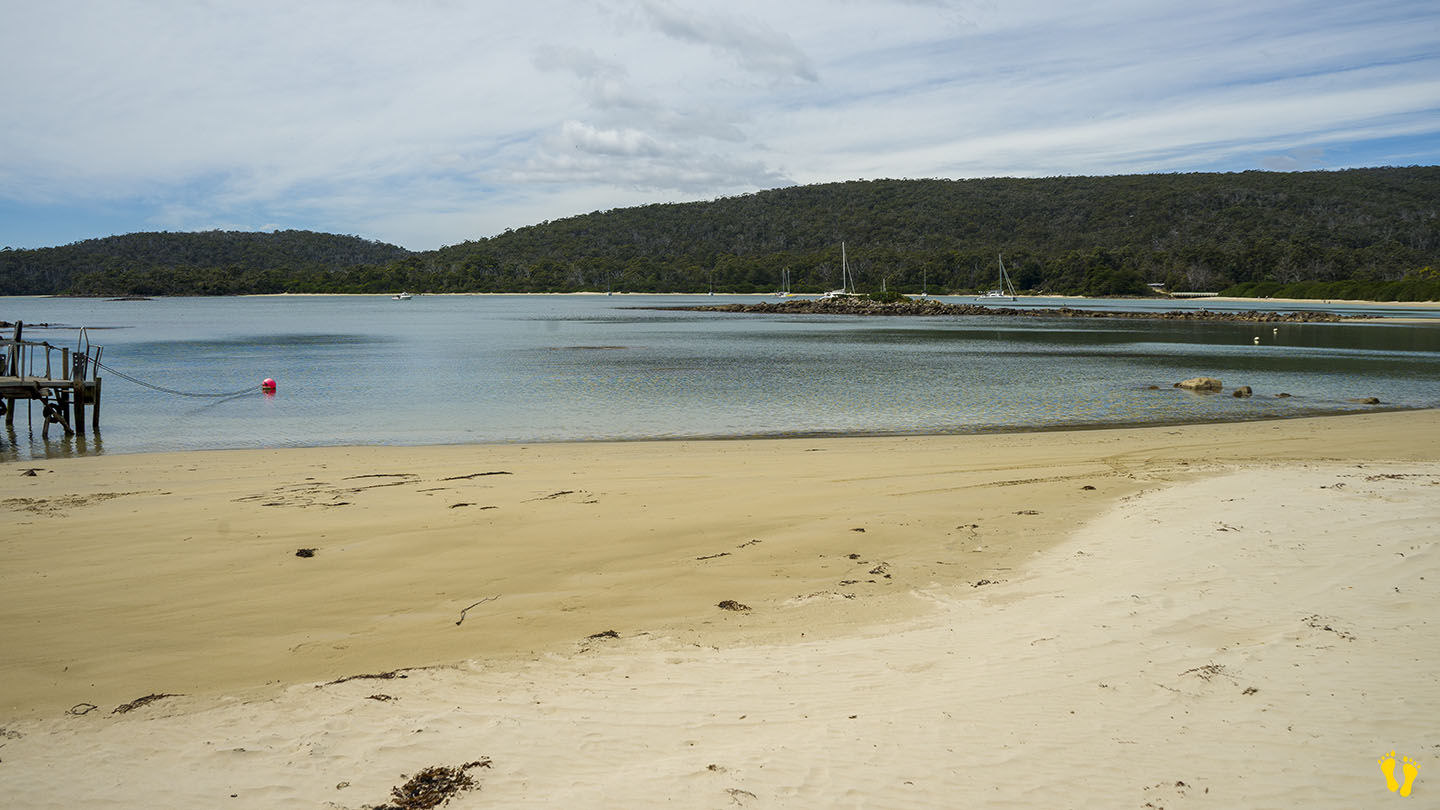
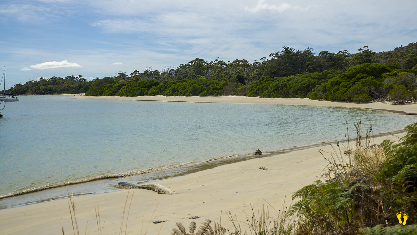
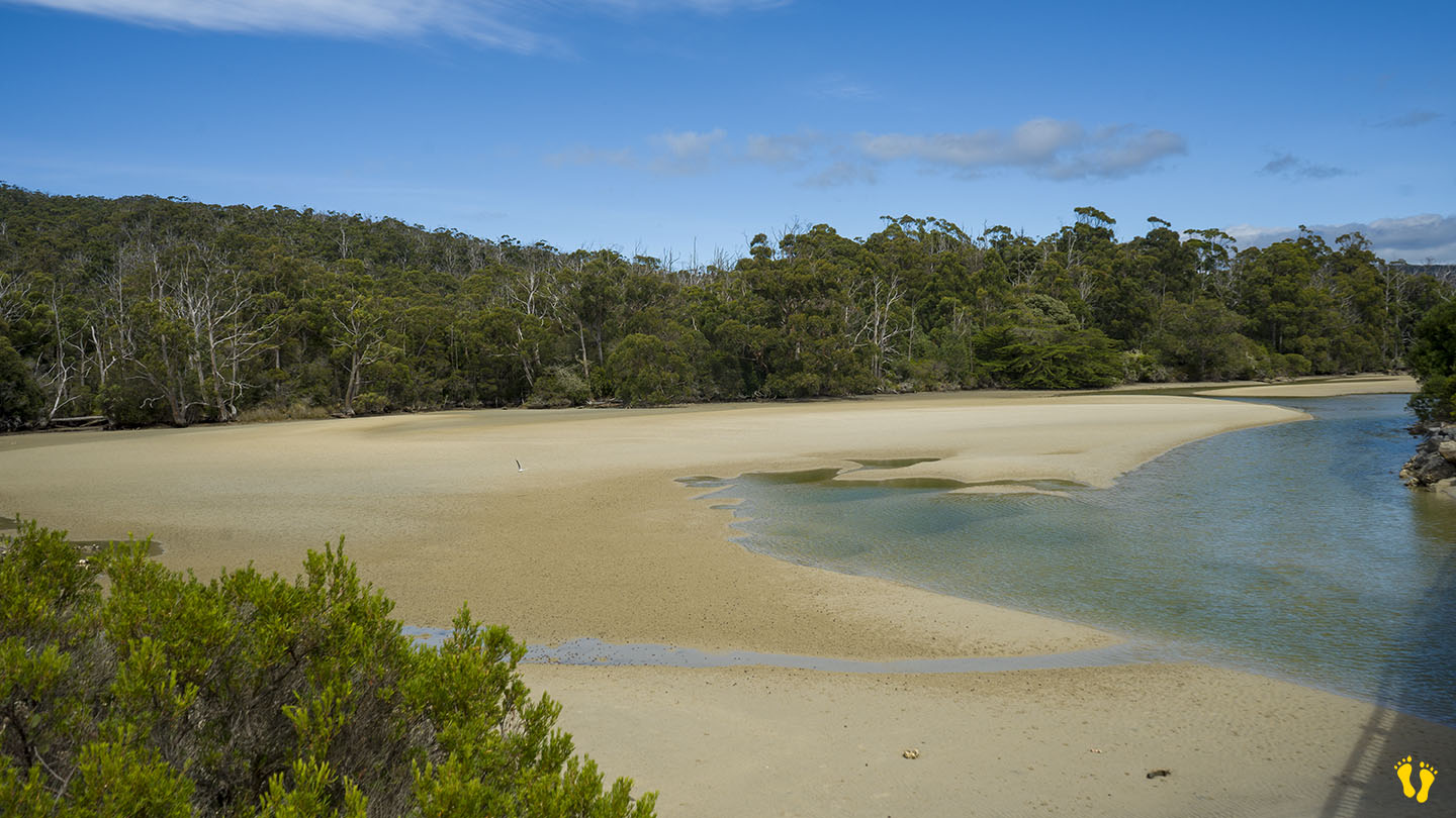
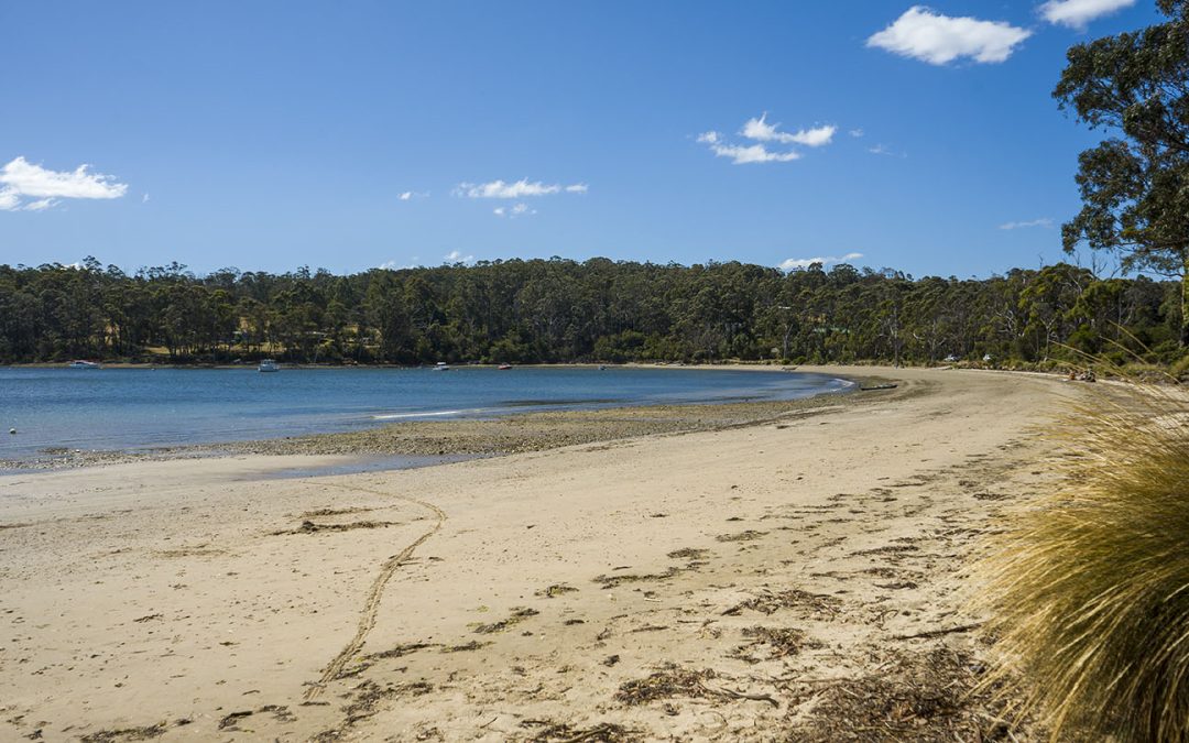
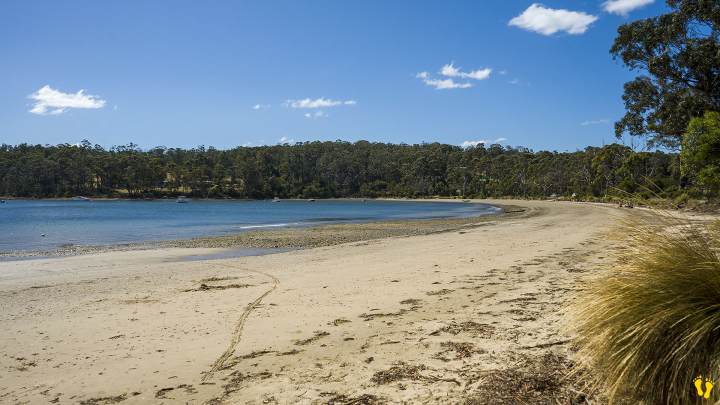
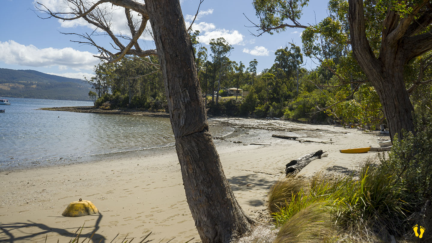
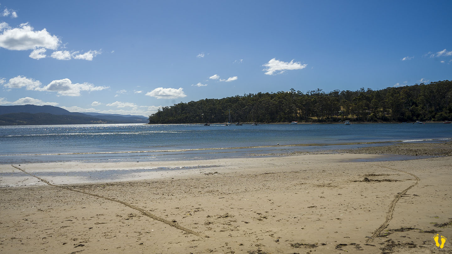
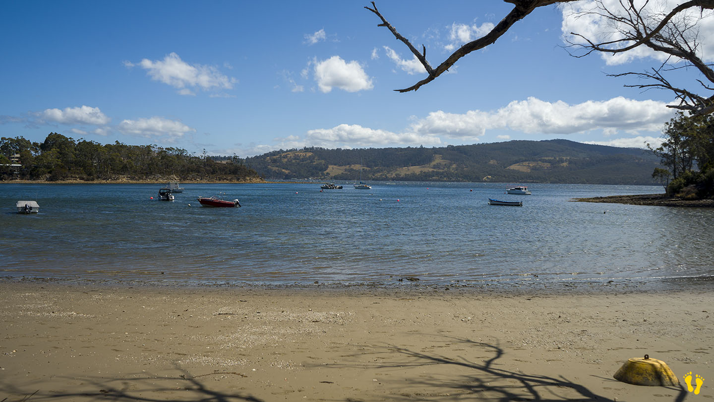
The beach is made up of | Sayers Beach | Motts Beach | and Cockle Creek Beach which I have grouped as one under Cockle Creek.
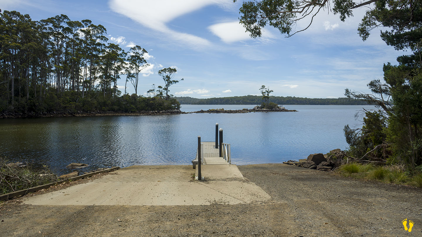
An outstanding place to visit for a one-day visit or extended stay – children will love the open sandy beaches and creek. Campsites include areas to the northeast giving you almost virtual private access to your own personal beach area. Other areas provide campsites with boat access. If I had to pick one beach to camp at in Tasmania this would be it!
Cockle Creek Beach is named after the creek that feeds into the bay, probably because of an abundance of Cockles to catch. Originally named Ramsgate (after an English resort). Recherche Bay is named after a Bruni D’Entrecasteaux’s ship that explored the area in 1792. The British later used the area for whaling, timber and coal. More recently oyster farming is common.
For surfers – South Cape Bay is a pristine beach break that gets huge clean waves on a southerly swell – a 7 km walk from Cockle Creek.
Congratulations to Parks and Wildlife for a soft touch on the area that has kept its beauty and still allows camping.
To get there – turn right before Southport towards Hastings. At the end is a 20 km dirt road (of no concern for any vehicle). On the way, you will pass several great beaches in Recherche Bay.
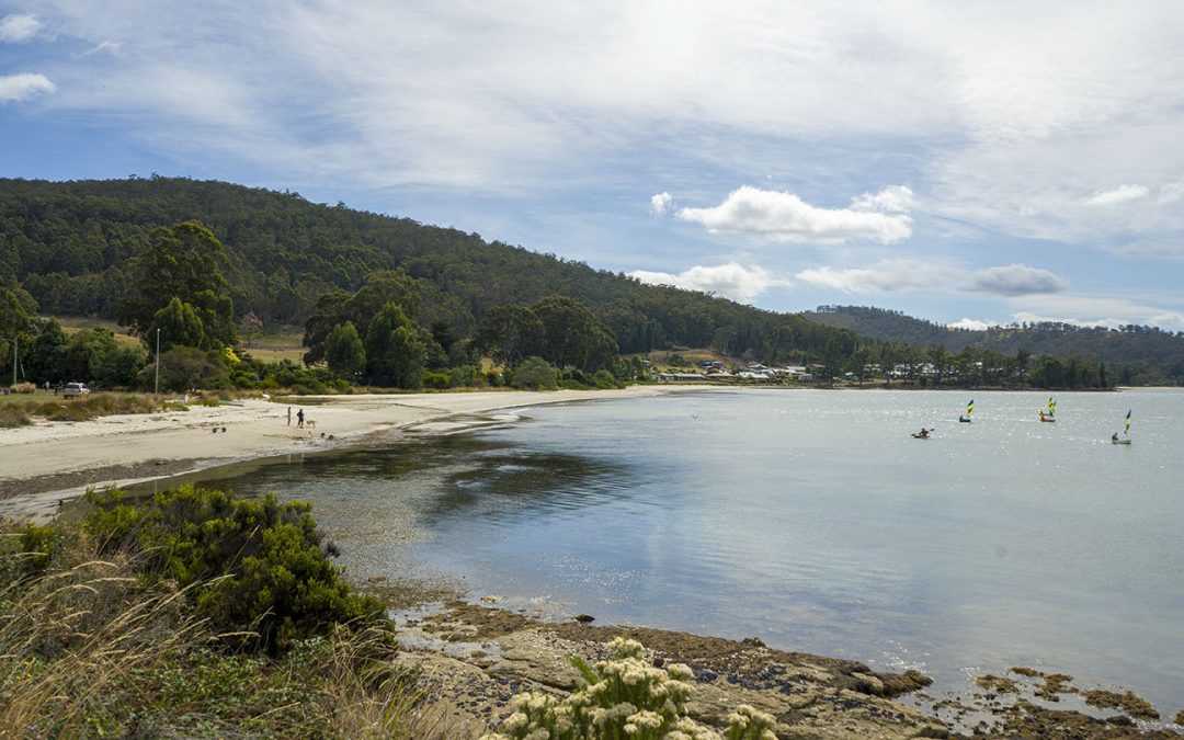
Hazard Rating: 1-2/10 | Parking: Good + close | from Hobart: 80 km | Faces: SE into Port Esperance | Length: 2 km
Original people: Lyluequonny people of the Far South
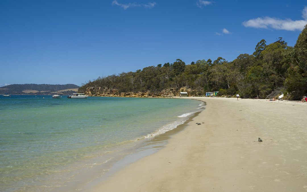
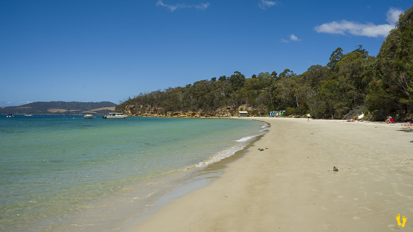
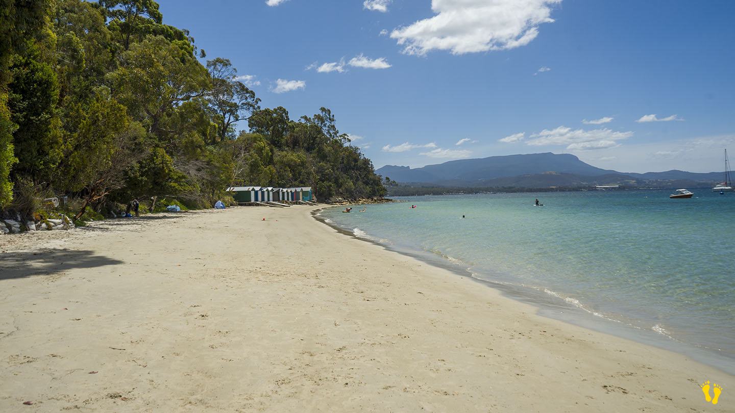
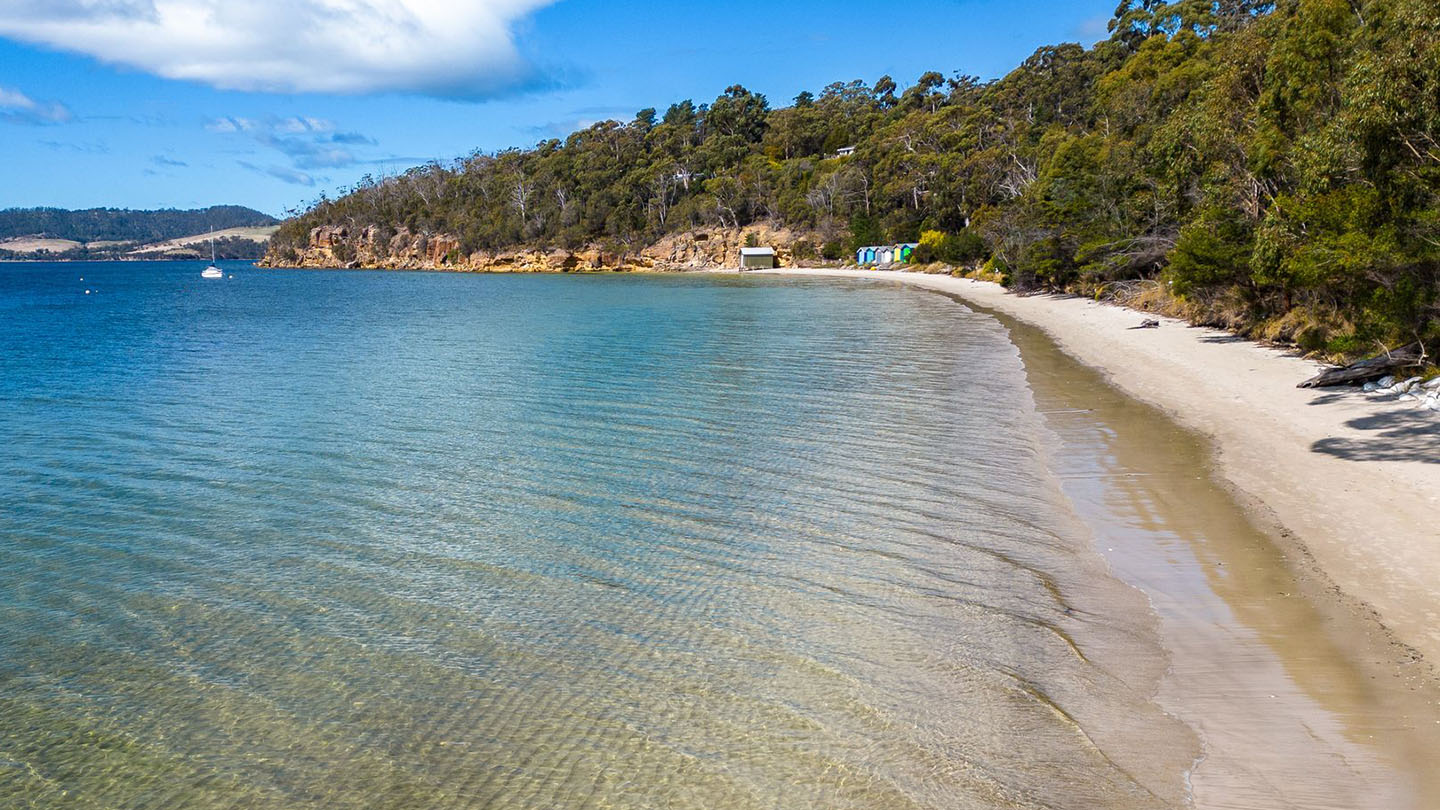
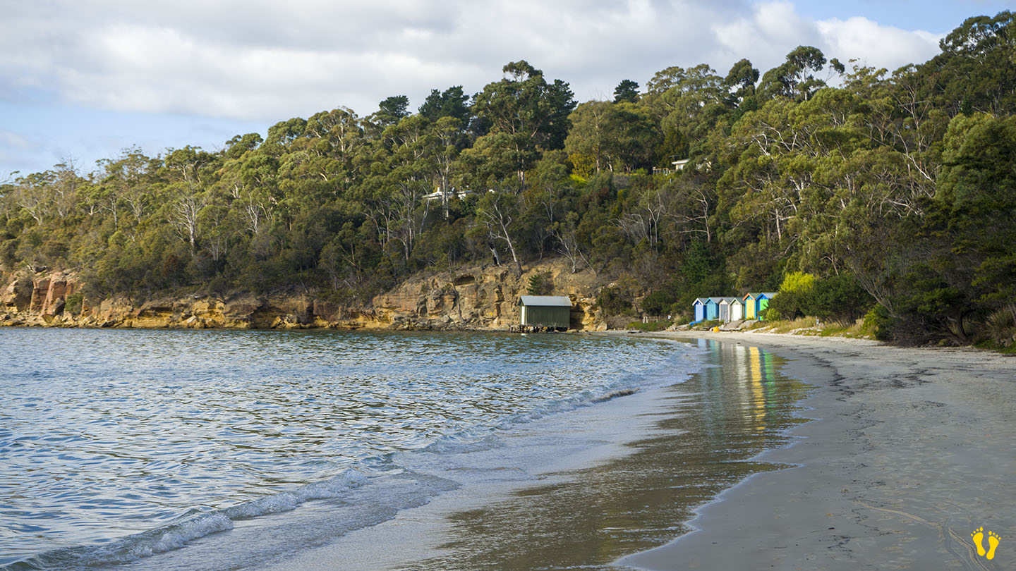
Dover Beach is accessed from the township of Dover, head down Station Road to the Esplanade and then Kent Road along its length.
Technically Kent Beach is separate from Dover Beach but I have grouped both beaches for simplicity.
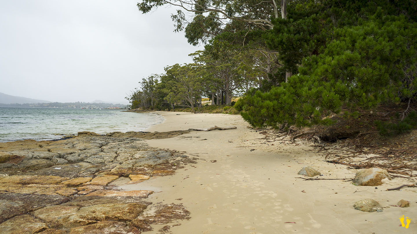
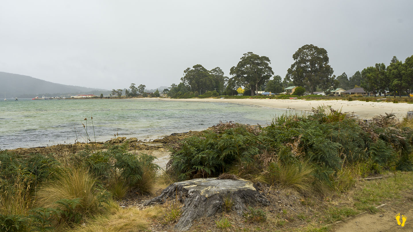
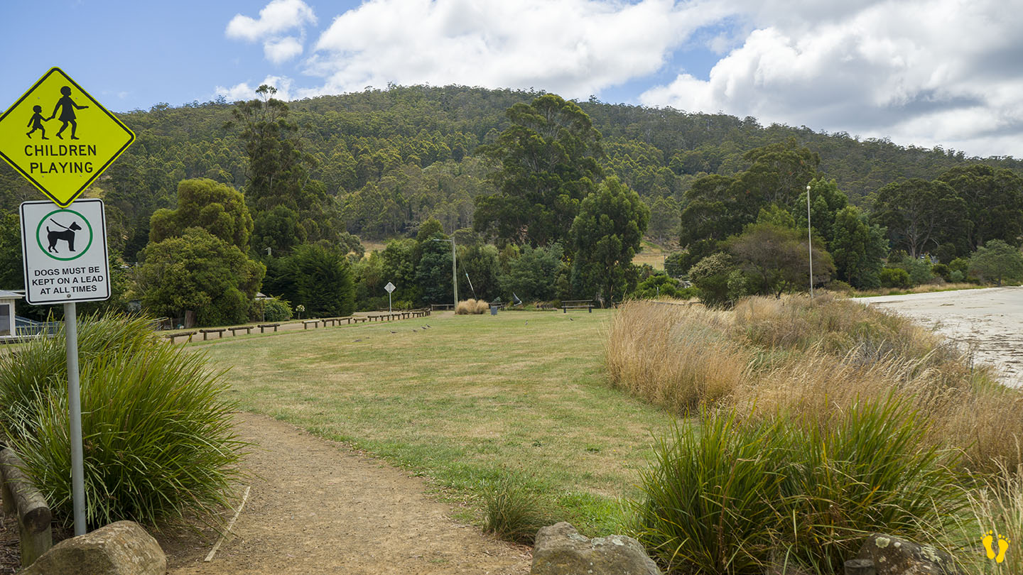
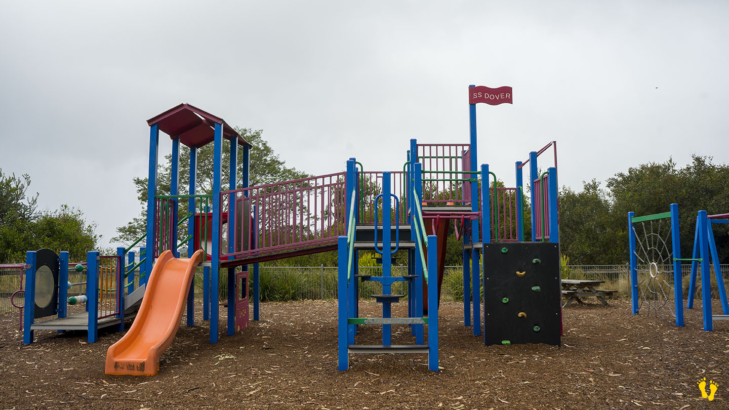
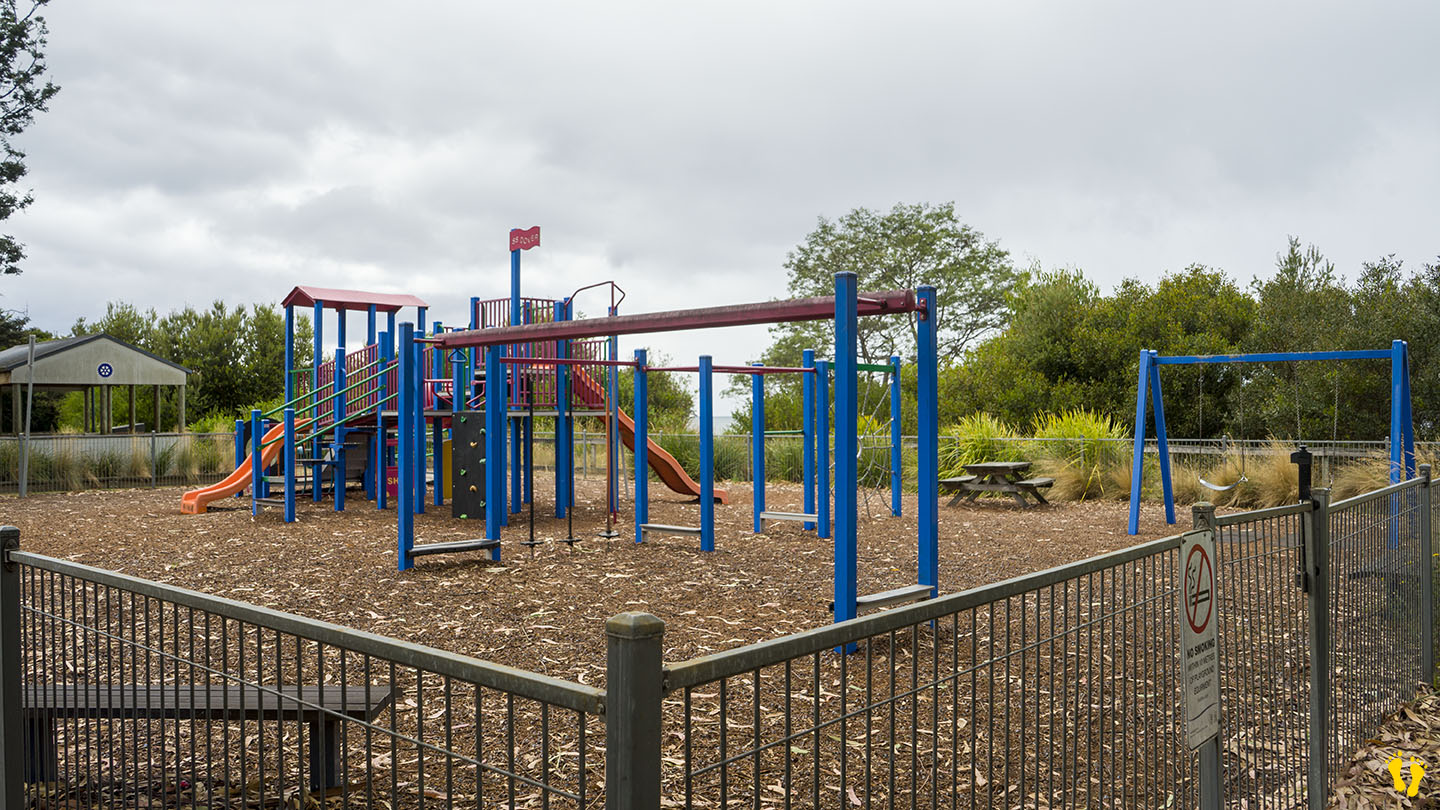
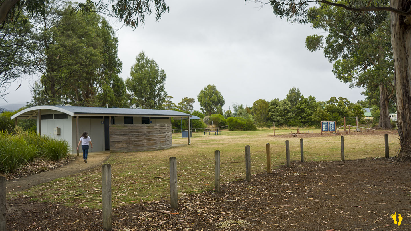
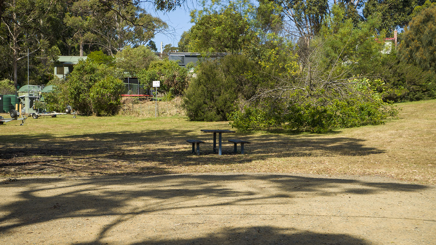
This is a long, safe beach with sandy areas and interesting shore rock formations for exploring. It is ideal for kids, and it includes a playground, BBQ, grassy areas, and toilets.
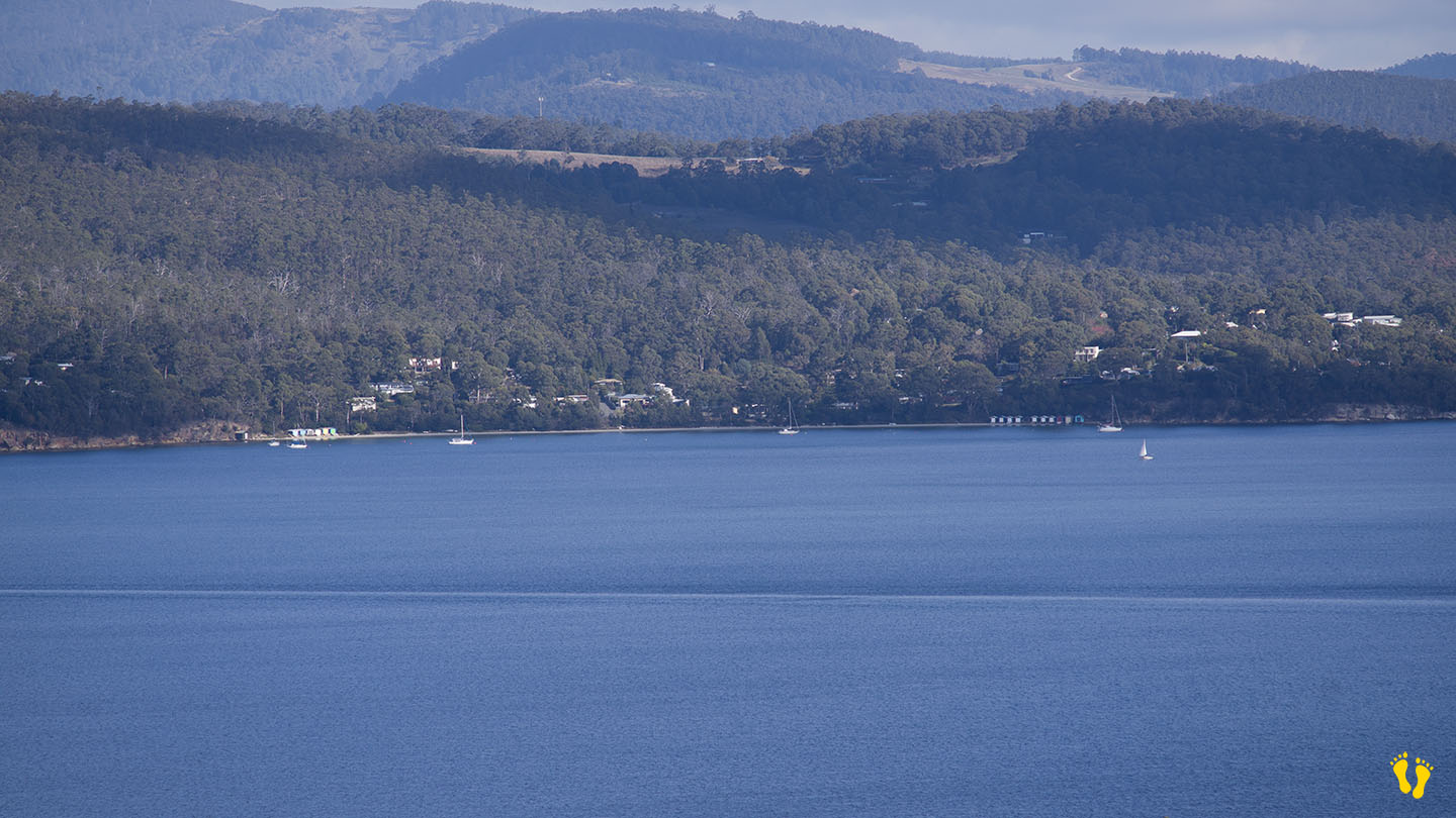
Dover was originally named Port Esperance by the French explorer Admiral Bruni D’Entrecasteaux, who charted the area in 1792 and named it after one of his ships. Originally used as a convict station and proclaimed as Dover in 1866, probably after the port of Dover in Kent, England. Dover is a Celtic word for ‘the waters’. The bay remains as Port Esperance. Dover developed as a port for shipping huon pine worldwide from its many sawmills and became an important fishing port for salmon, abalone and crayfish.
3 islands can be viewed from its shore, Charity, the closest and to the right. Faith – the smallest (originally Dead Island) and Hope, the furthest and largest (about 4 km wide), each have their interesting history. A camping, caravan and cabin park is opposite the beach.
Hazard Rating: 1/10 | Parking: Good + close | from Hobart: 60 km | Faces: West into Eggs & Bacon Bay | Length: 400 m
A quiet protected beach with a gradual foreshore, ideal for a picnic. Turn off Randalls Bay Road for access.
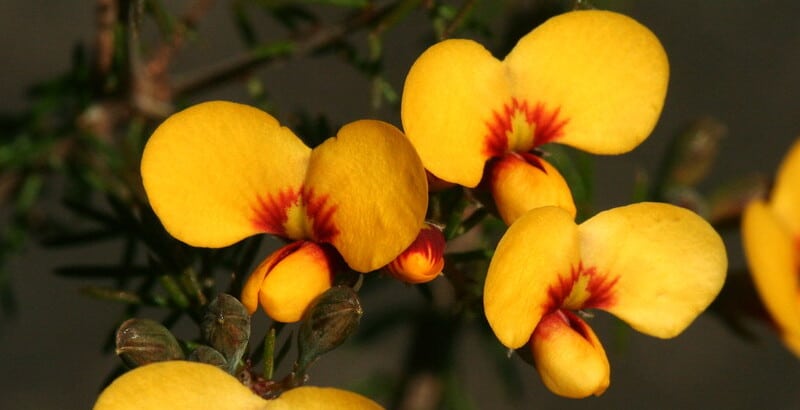
The unusual name is said to be based on the yellow and streaky red eggs-and-bacon flowers that grow in the area from the pea family. An alternative theory though likely untrue, is that Lady Jane Franklin ate bacon and eggs there around 1840 – who knows?
Hazard Rating: 1/10 | Parking: Yes | from Hobart: 70 km | Faces: South into Randalls Bay | Length: 250 m
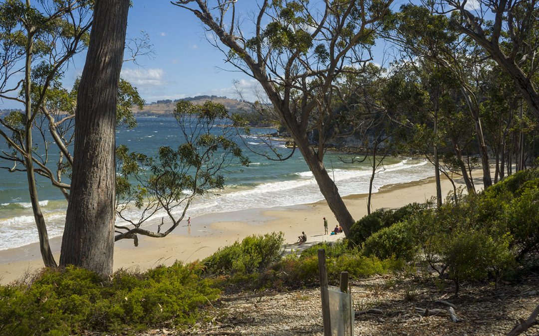
My very own beach! … Mickeys Beach is a hidden gem of a beach at the bottom of the Channel Highway between Randalls Beach and Eggs & Bacon beach.
Down a dirt road off Randalls Road easily accessible by all vehicles, about 300m. A short walk down to the beach.
If you wanted to find a small, well protected and secluded beach hidden away – this would be it. Beautiful sand and backed by a wonderful forest. No amenities, but hey, you cannot have everything. Definitely worth a visit.
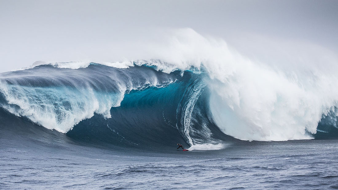
Hazard Rating: 10+/10 | Parking: None | from Hobart: A long way | Faces: South into Antarctica
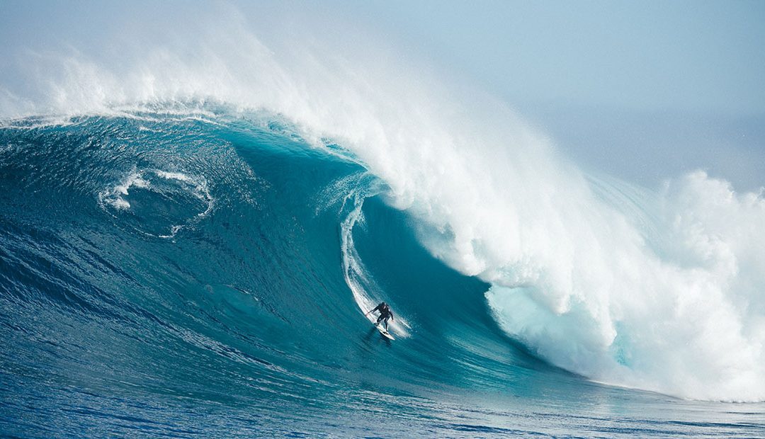
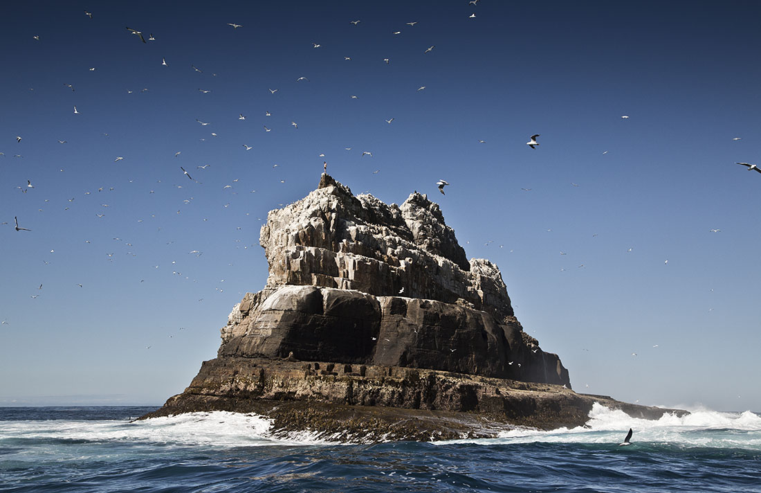
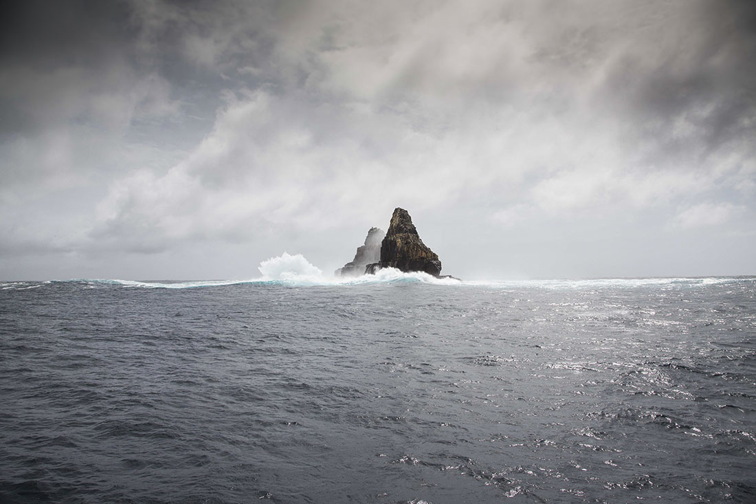
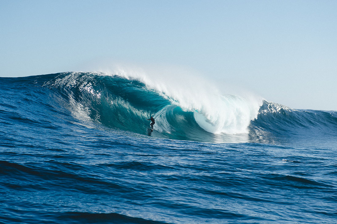
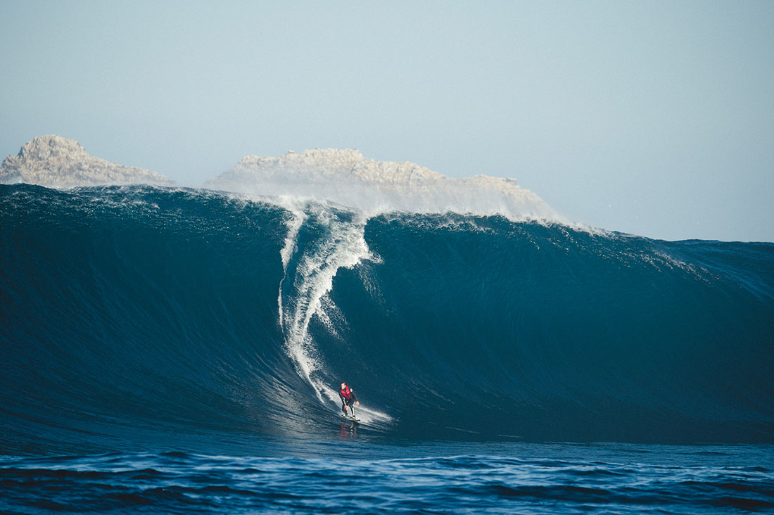
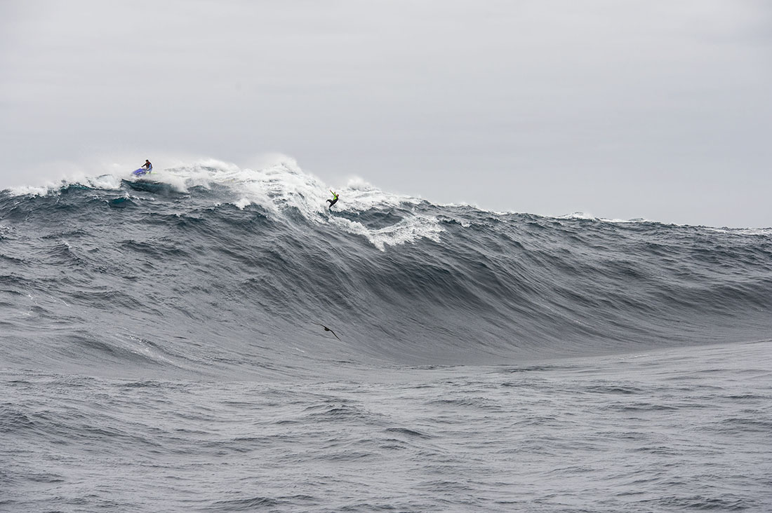
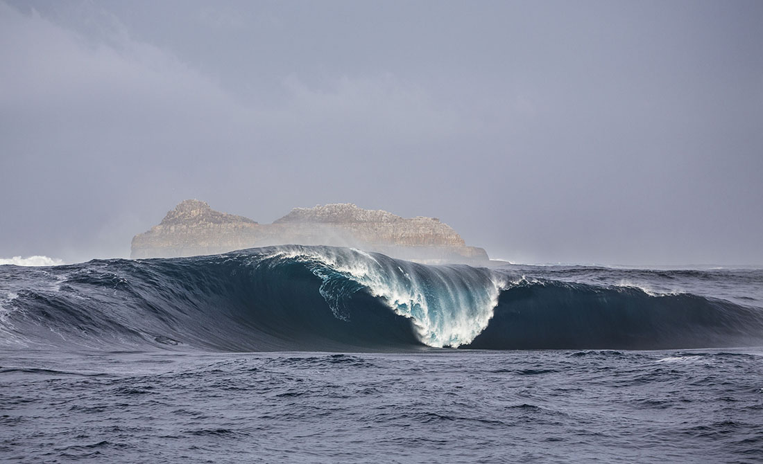
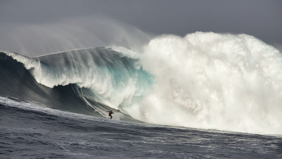
Pedra Branca is an islet (rock or little island) situated 26km south of Tasmania with some of the most insane waves in the world. An erosional remnant of the Tasmanian mainland, approximately 270m long, 100m wide and an elevation of 60m, estimated to have separated from the Tasmanian mainland at least 15,000 years ago. Another nearby islet is Eddyston also a tower rock also with thunderous waves.
Pedra requires specific conditions to work. A long trip to get there and when you do the water is cold, great white sharks are common and the waves are bone breaking. Jet ski support is mandatory.
Pedra Branca was first recorded in 1642 by the Dutch explorer Abel Tasman and first surfed in October 2008 by Marti Paradisis. Pedra Branca is Portugese for White Rock, probably because it’s covered in bird poo.
Surf photos provided by Stu Gibson, a leading Tasmanian surf photographer.