by Mickey Jarvis | May 7, 2024 | Low Hazard, South East, Tasman Peninsula
Near Port Arthur |
Hazard Rating: 1/10 | Parking: Roadside | from Hobart: 93 km | Faces: NE into Carnarvon Bay | Length: 150 km
Original Name: Turrakana, the homeland of the Pydairrerme (Tasman Peninsula’s Aboriginal people)
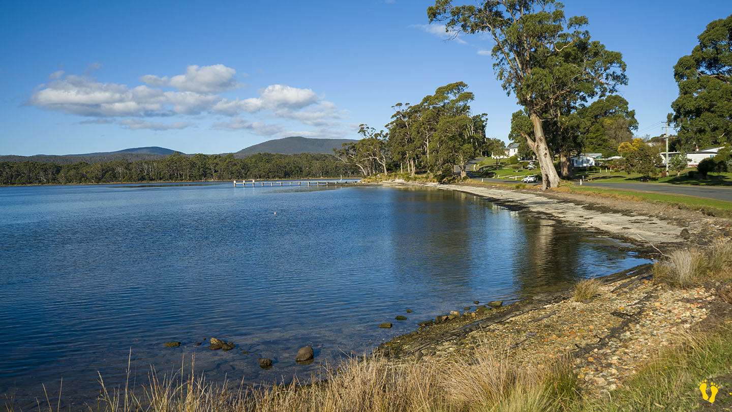
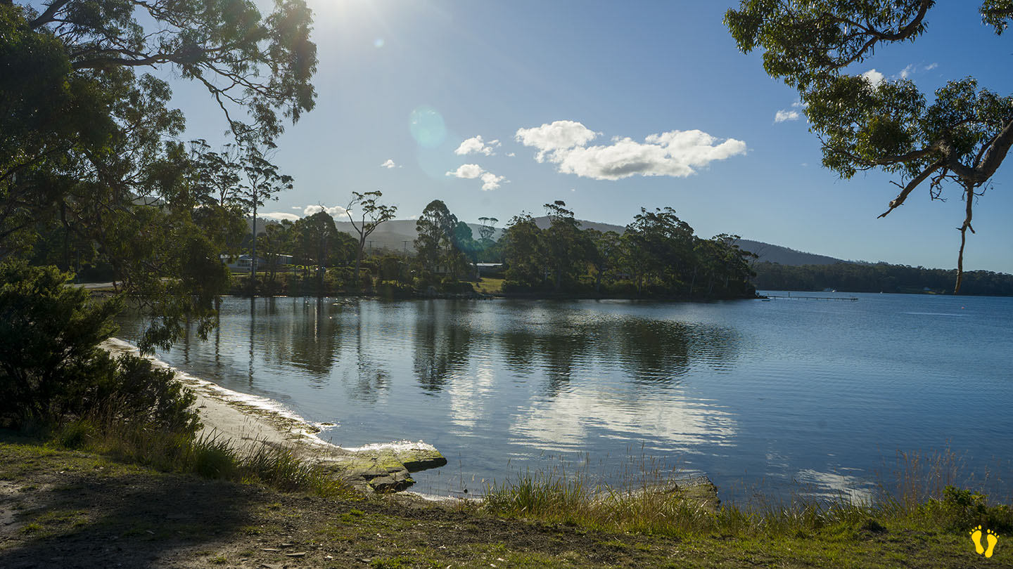
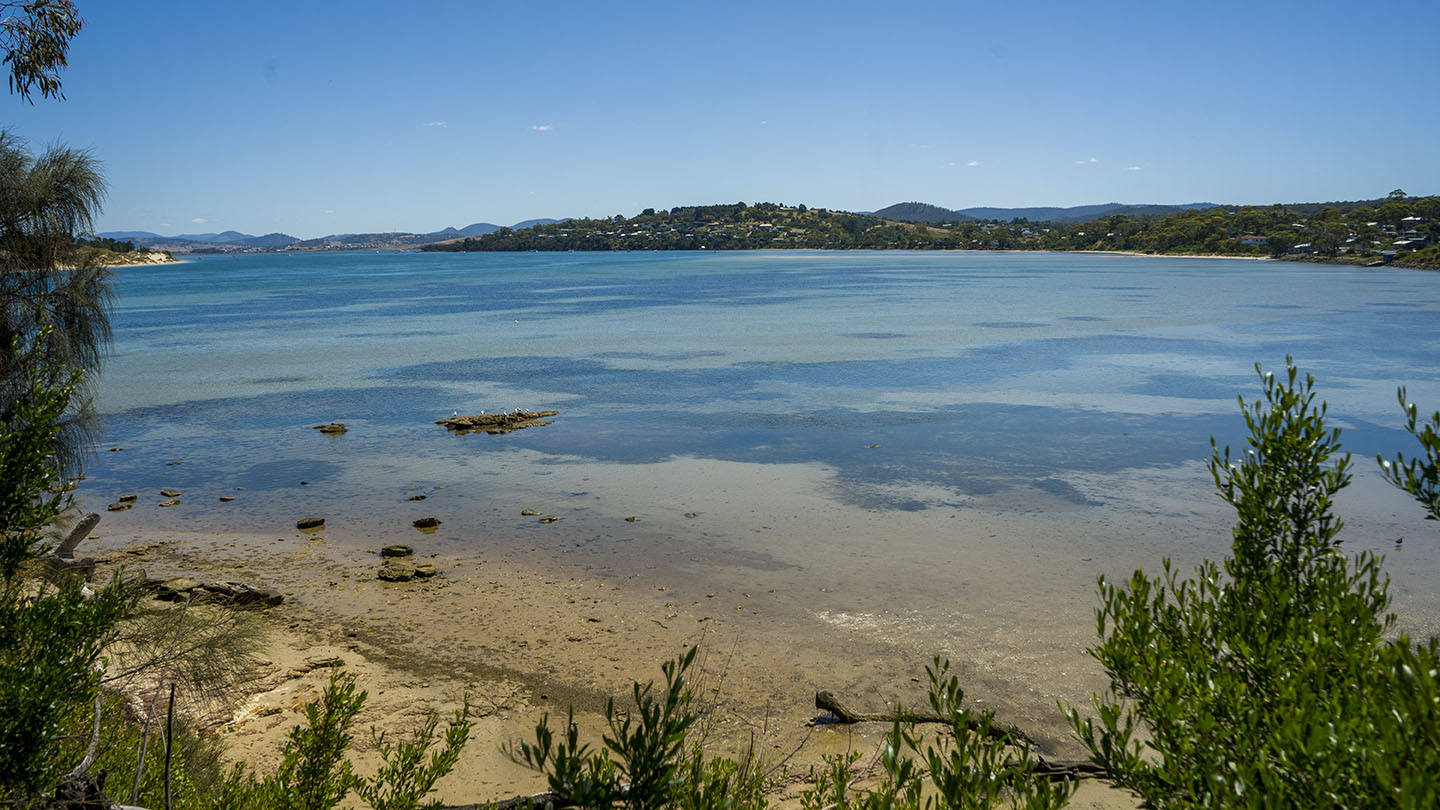
Little Possum Beach is about 2 km south of Port Arthur and the little cousin of Big Possum Beach a bit north. It is a beach but only just!
A small roadside beach ideal for a walk and paddle along the beach while enjoying the views. A classic old wooden jetty at the bottom end to wander onto and take in the whole experience of the bay and its surroundings.
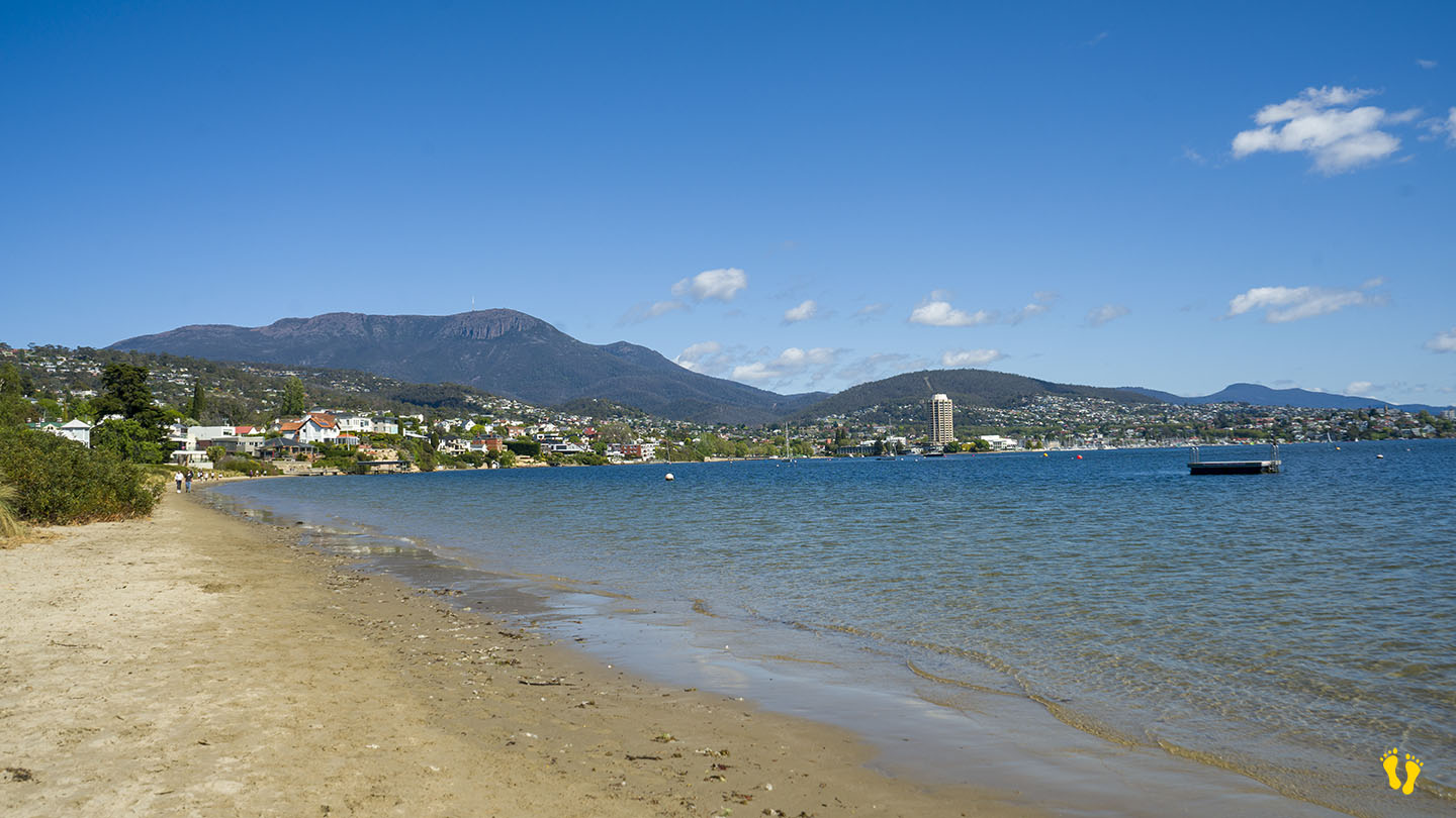
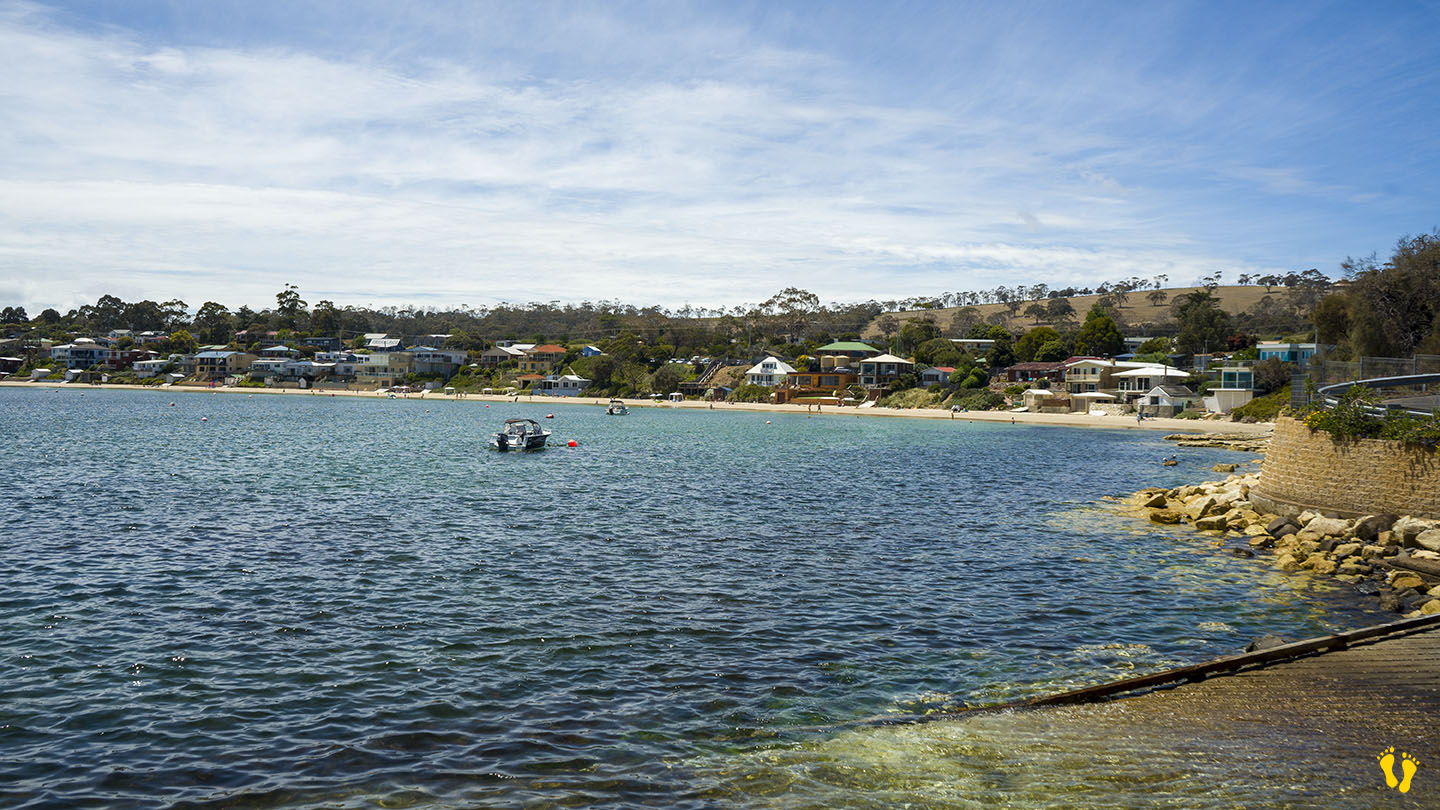
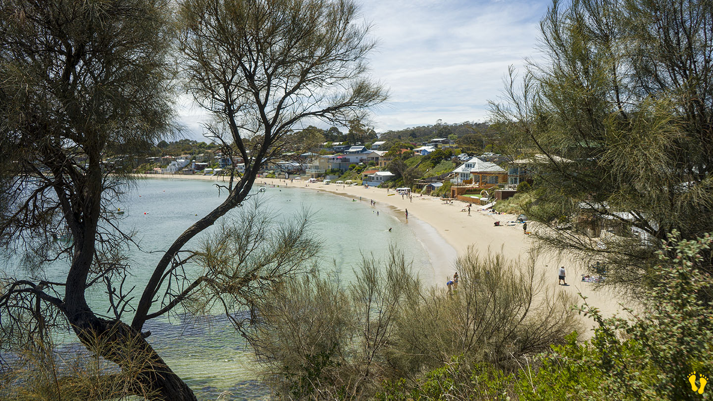
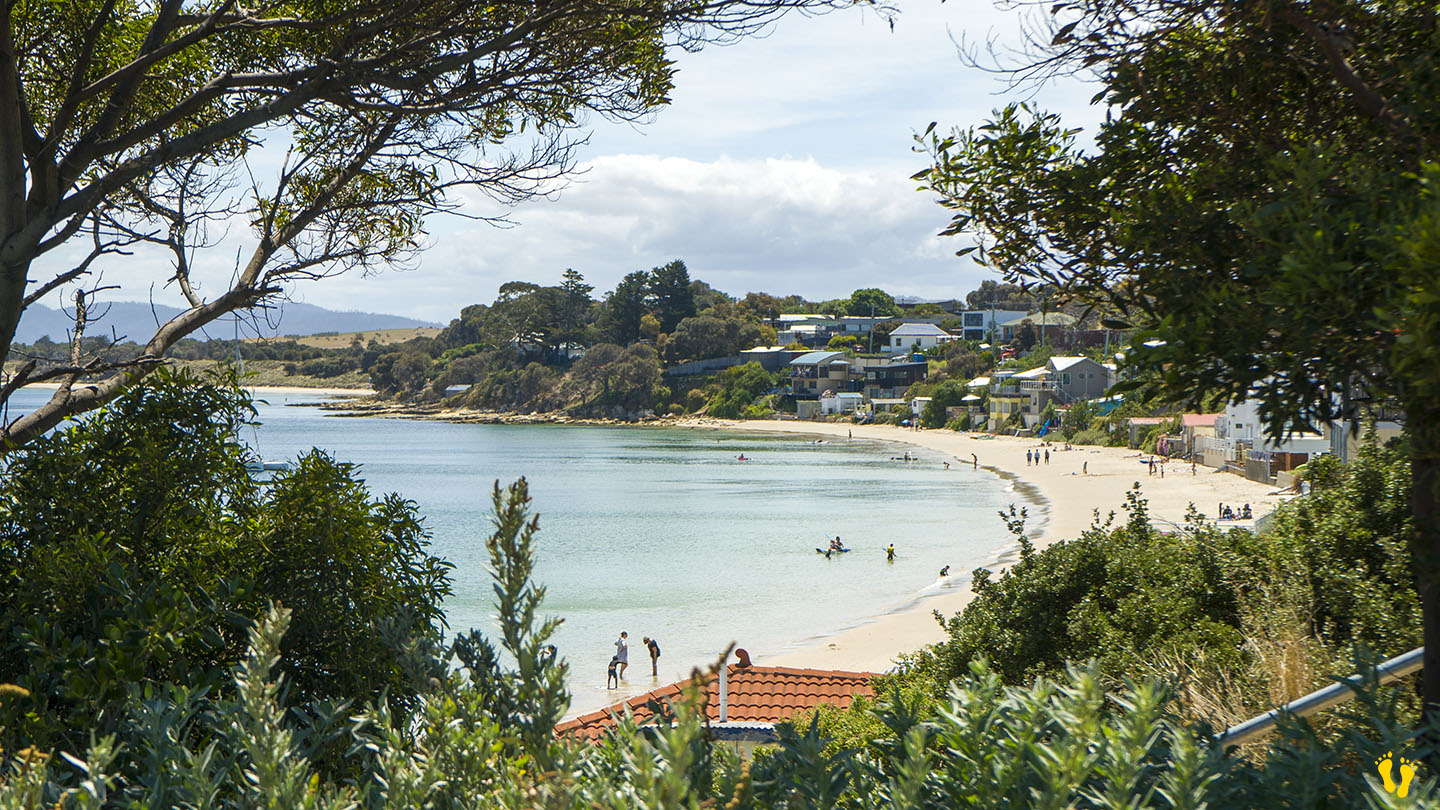
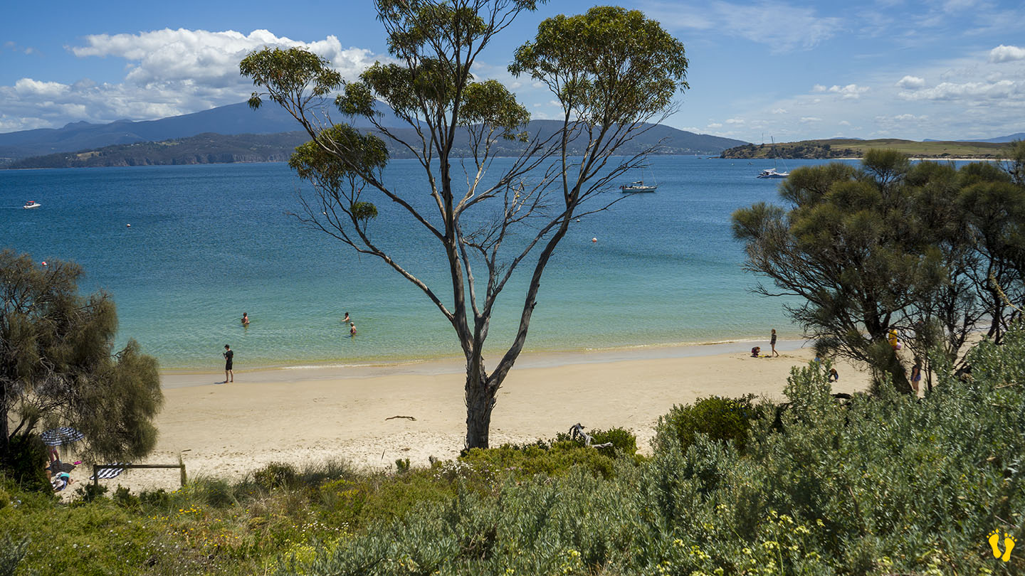
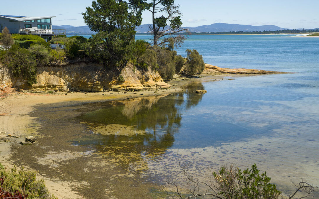
by Mickey Jarvis | Sep 28, 2024 | Greater Hobart, Low Hazard, South East
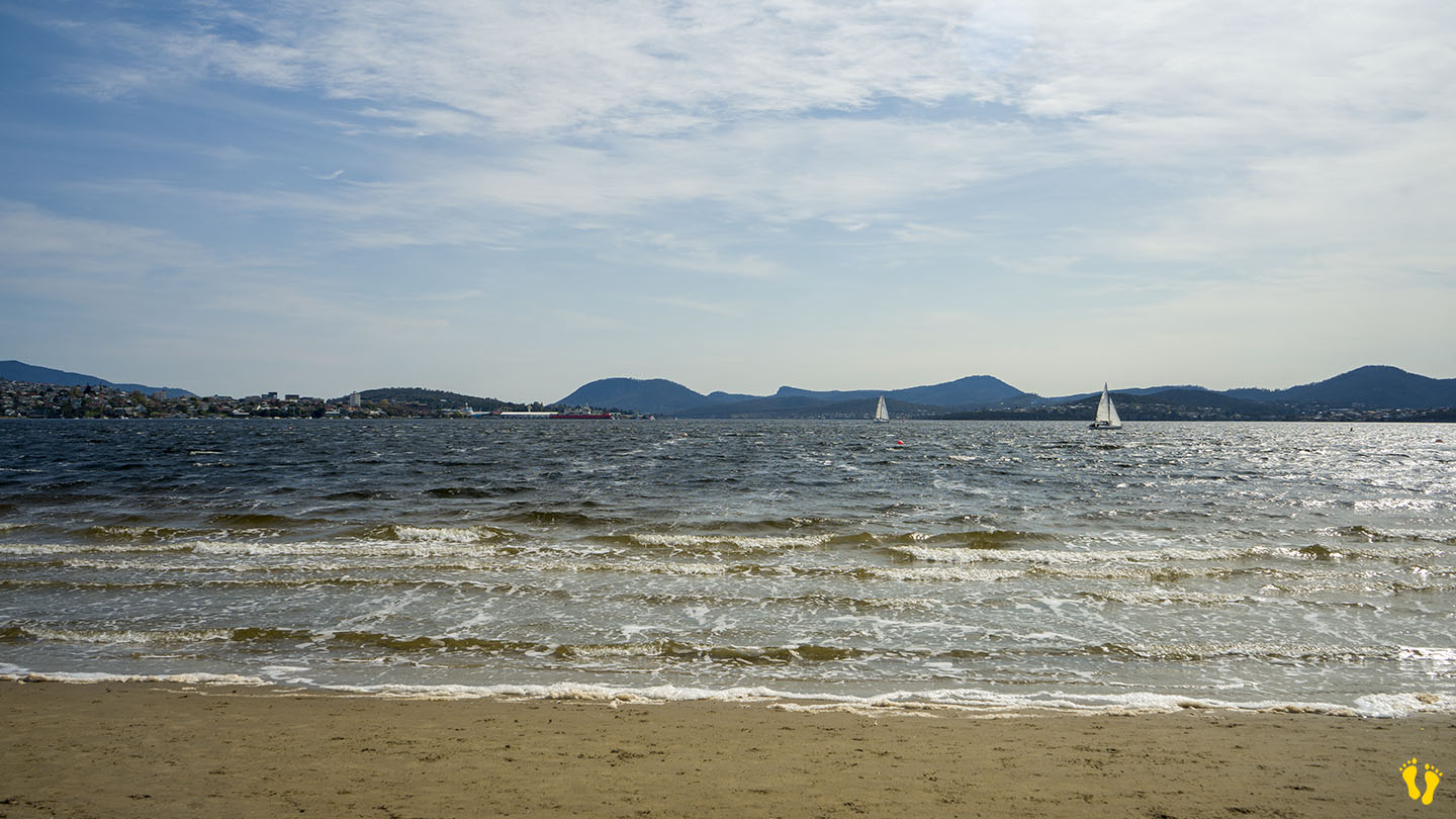
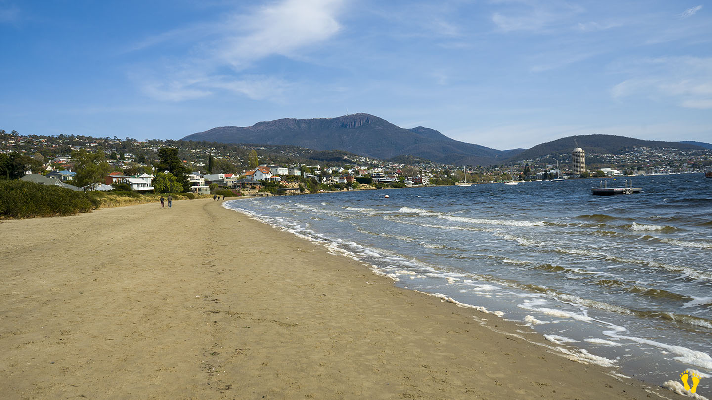
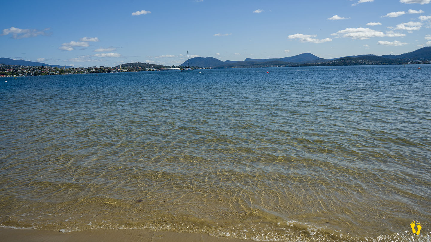
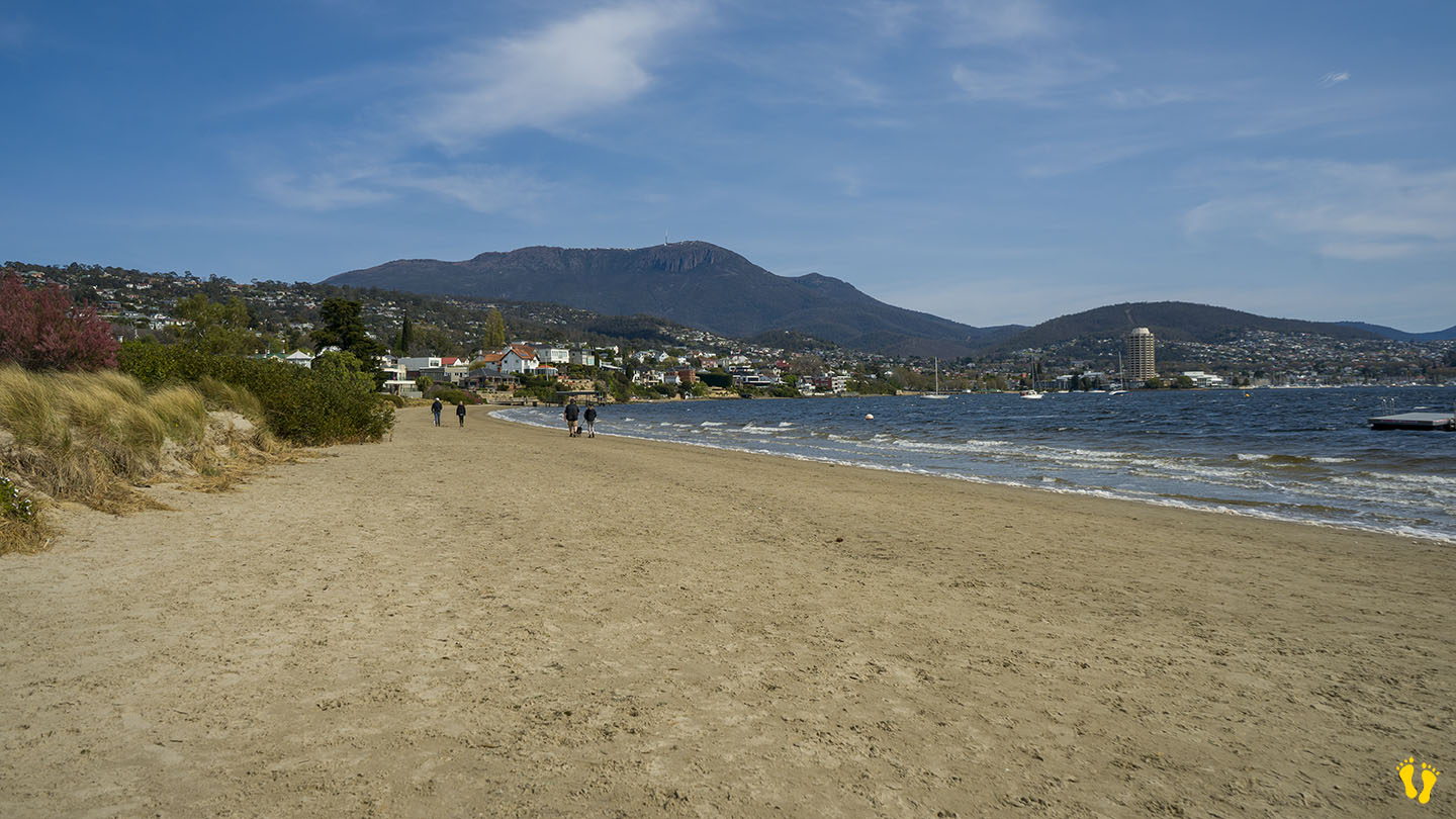
Near Sandy Bay |
Hazard Rating: 2/10 | Parking: Varied | from Hobart: 5 km | Faces: North into The Derwent River | Length: 700 m
Original People: Mouheneener people, a sub-group of the Nuennone. The Mouheneener held a permanent settlement on Long Beach called kreewer.
Originally Nutgrove Beach was a continuation of Long Beach. A basalt seawall was constructed in the 1970s to prevent foreshore erosion, dividing the beach in two. The new beach was named Nutgrove Beach after nearby Nutgrove House, an 1880s homestead built by John T. Read named after a small grove of walnut trees growing on the land.
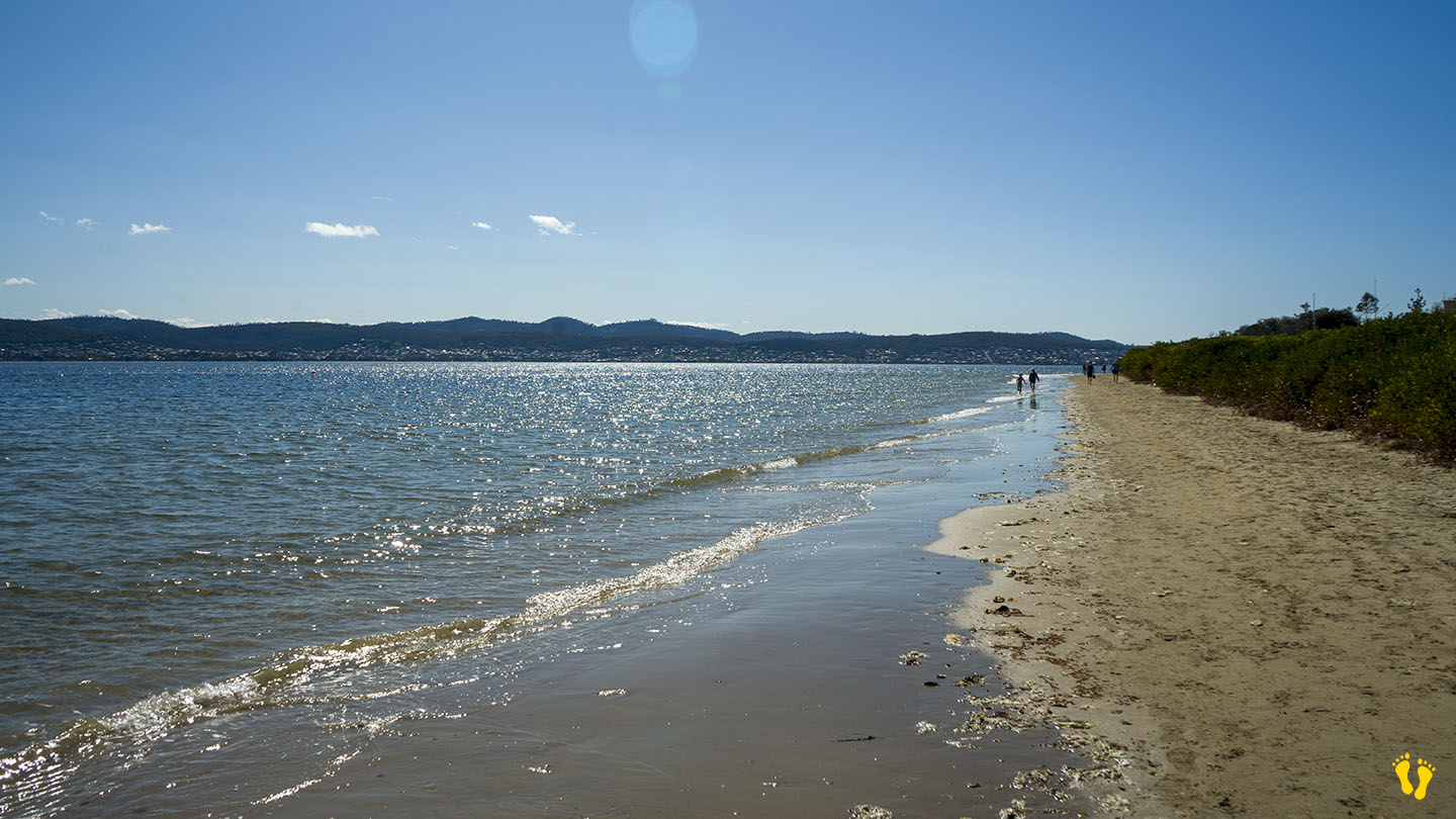
A beach with great views of kunanyi and the River Derwent – Timtumili Minanya. A floating pontoon is a great feature for kids. The beach is a favourite with dog walkers. No facilities except for nearby Long Beach.
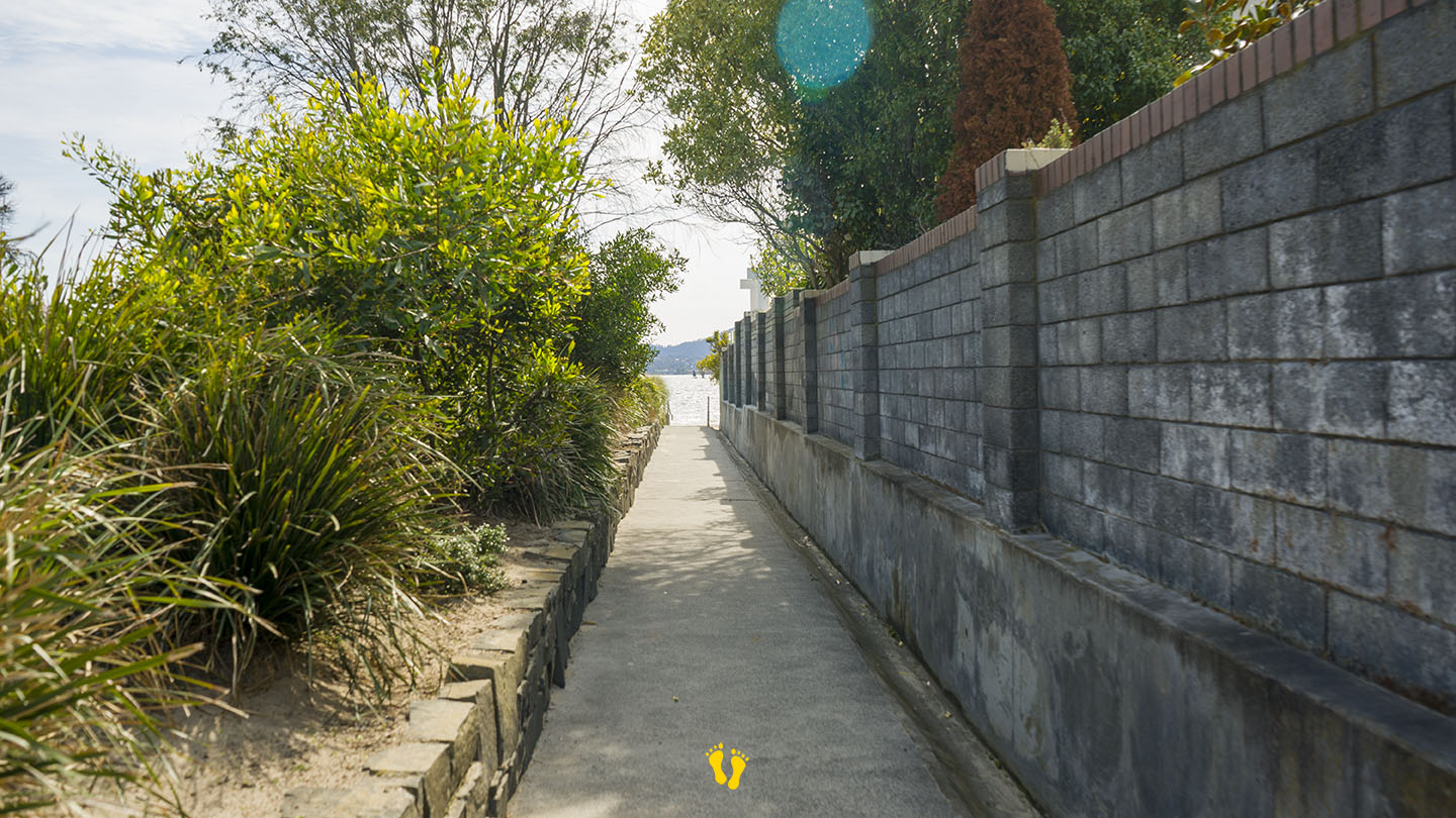
Access is via several walkways along its length with various degrees of parking availability. All are a 50m walk. Two access points mid-beach down Nutgrove Avenue at each end of Beechworth Road and two from the carpark at the end of Long Point Road, one beside the Sandy Bay Sailing Club which has good parking.
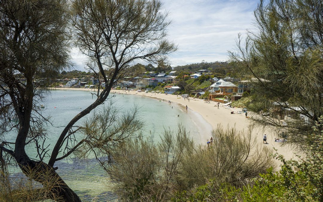
by Mickey Jarvis | Feb 5, 2023 | Dodges / Carlton, Low Hazard, South East
Near Dodges Ferry | Hazard Rating: Low | Parking: Varied | from Hobart: 24 km | Length: 2 km | Faces: West into Tiger Head Bay
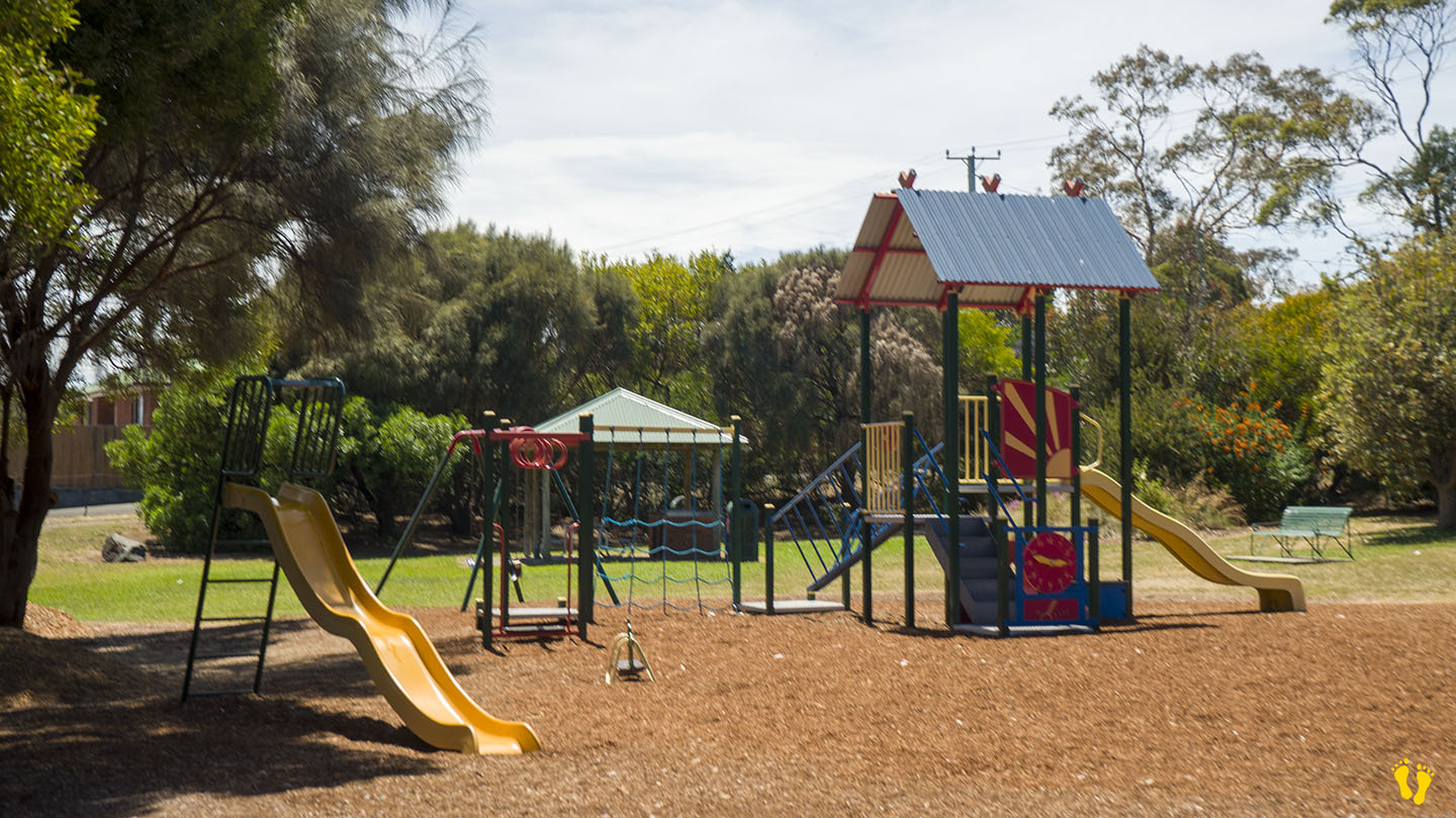
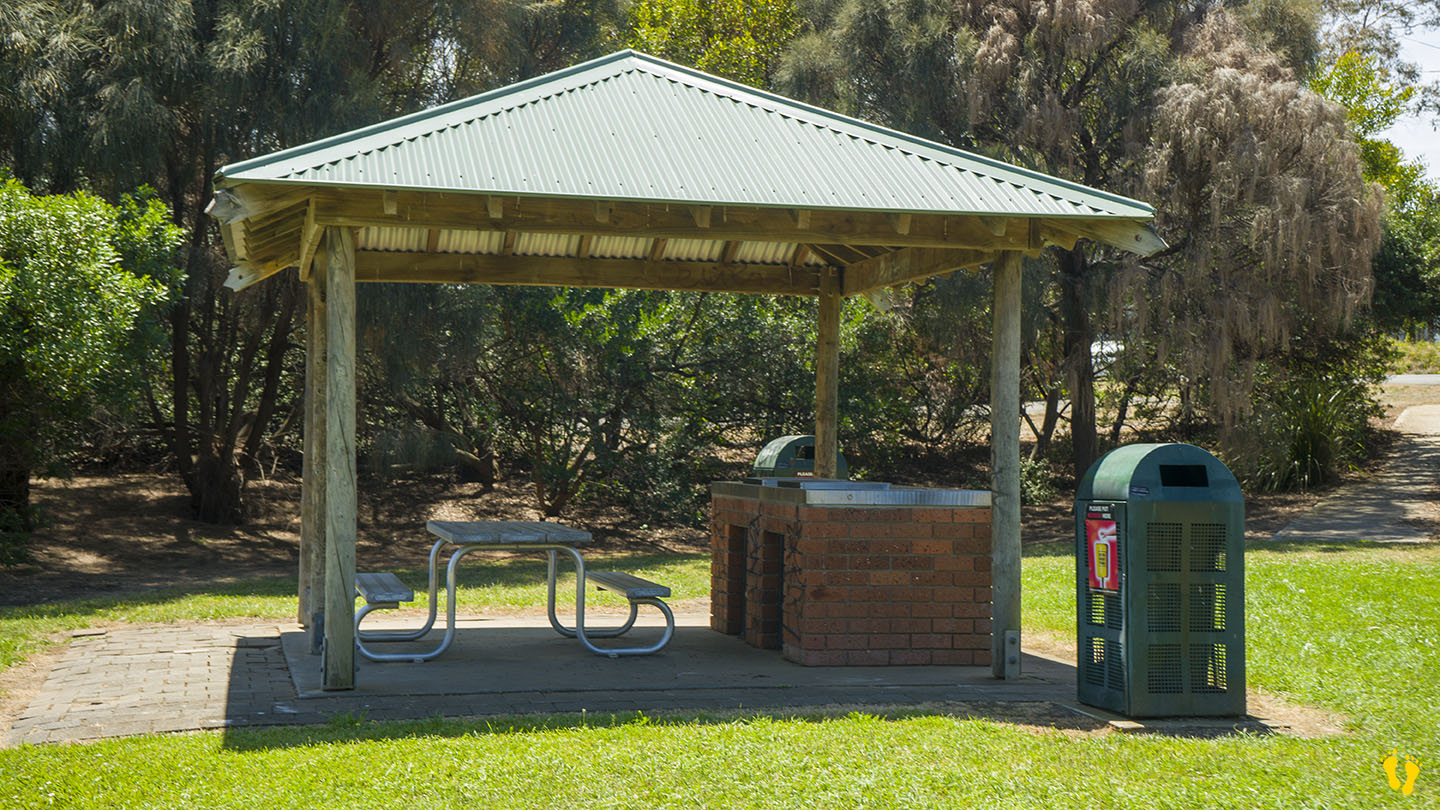
A protected beach in Dodges Ferry. The south end is great for kids to explore magical rock pools containing all sorts of sea life. Often has lots of birdlife.
Interesting rock formations and a shallow beach make it great to learn snorkeling. I have spent many hours with my children exploring the beach and rocks.
Named after Ernest Okines who leased the property in 1923 and purchased it in 1942. Views of Seven Mile Beach often with spectacular sunsets.
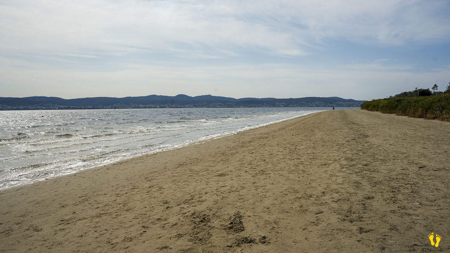
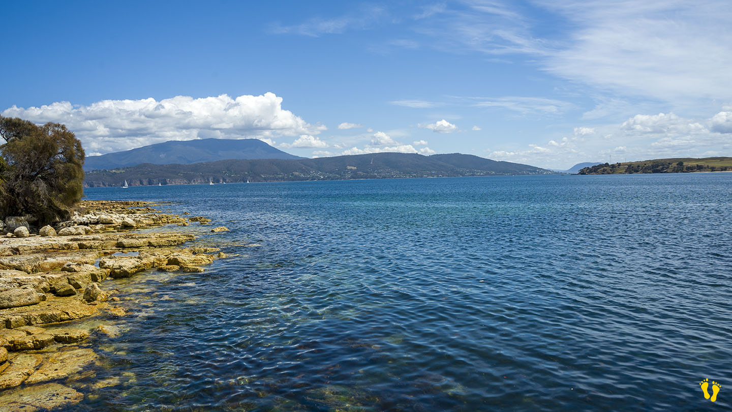
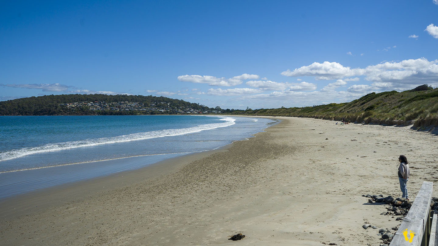
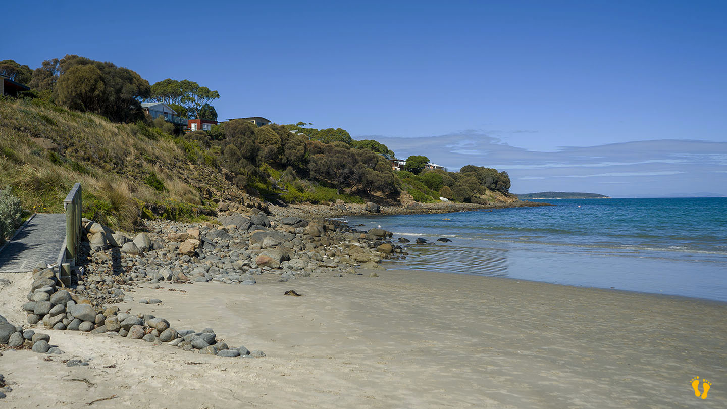
by Mickey Jarvis | Dec 28, 2023 | Low Hazard, South Arm Road, South East
Hazard Rating: 2/10 | Parking: Varied | from Hobart: 49 km | Faces: West into the River Derwent | Length: 1 km
Original people: Moomairemener, believed to be members of the Paredarerme (Oyster Bay tribe)
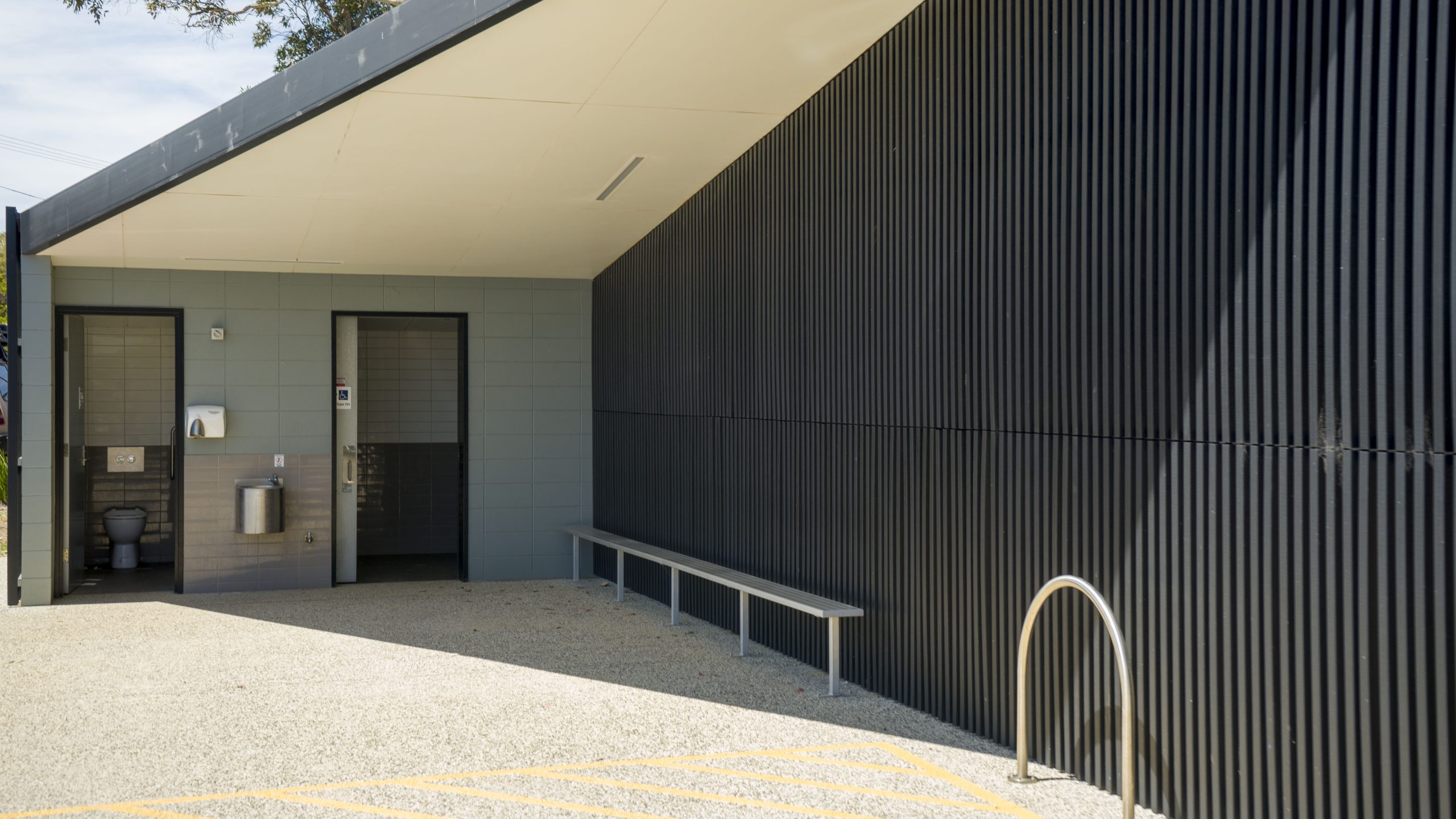
Situated towards the end of South Arm road this is a picturesque well protected beach great for kids. Okay access with shops nearby.
Good boat ramp with jetty for swimming, jumping and fishing.
Named after the American sloop ‘Opossum’ which was chartered by the government under Harbour-Master Capt. John Welsh to conduct numerous surveys in the River Derwent and River Huon in 1827. Opossum if a North American marsupial a bit similar to our possum.
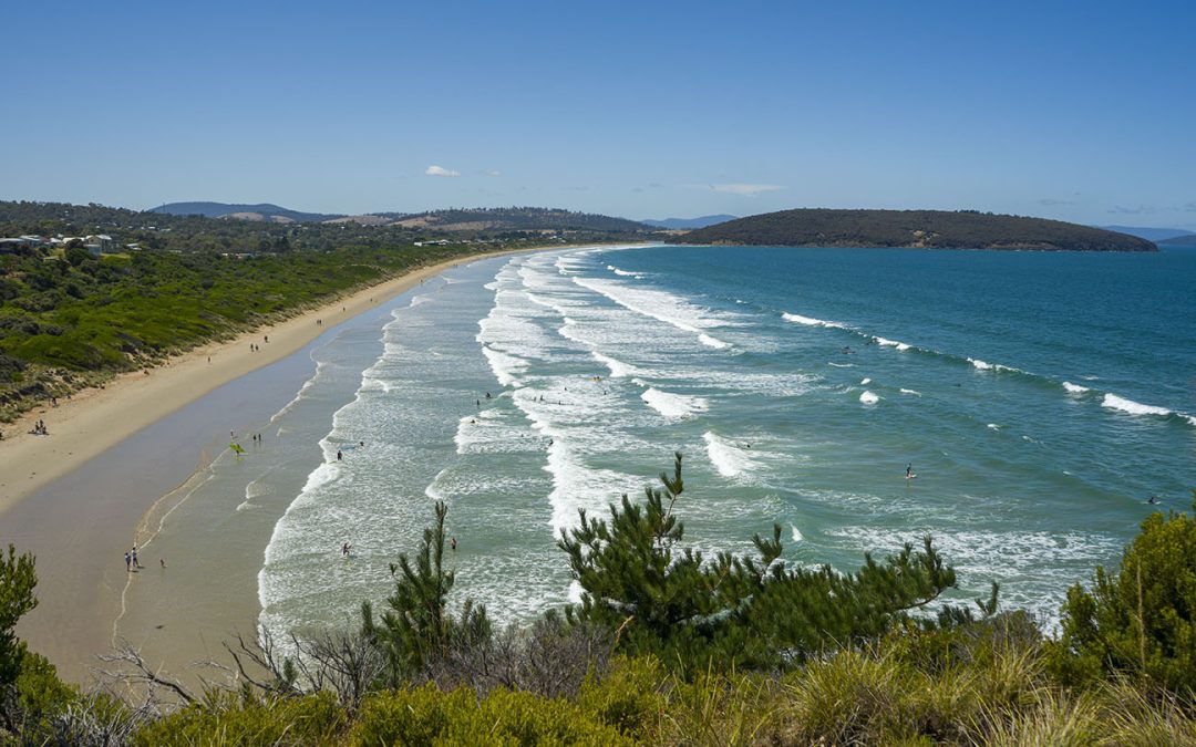
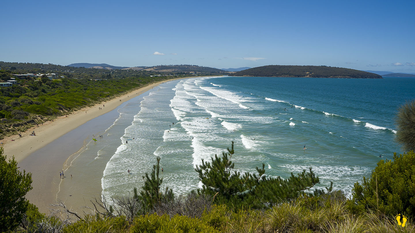
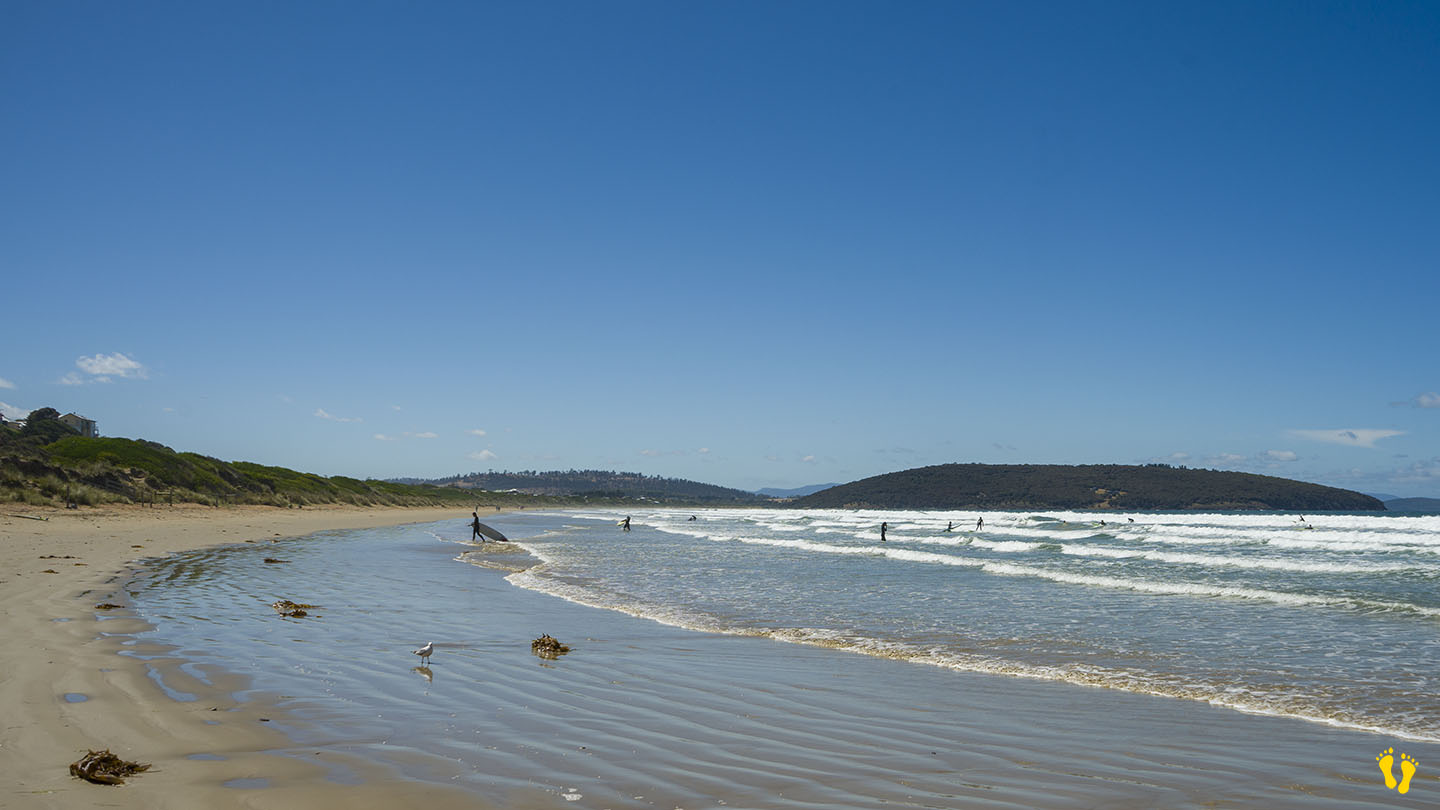
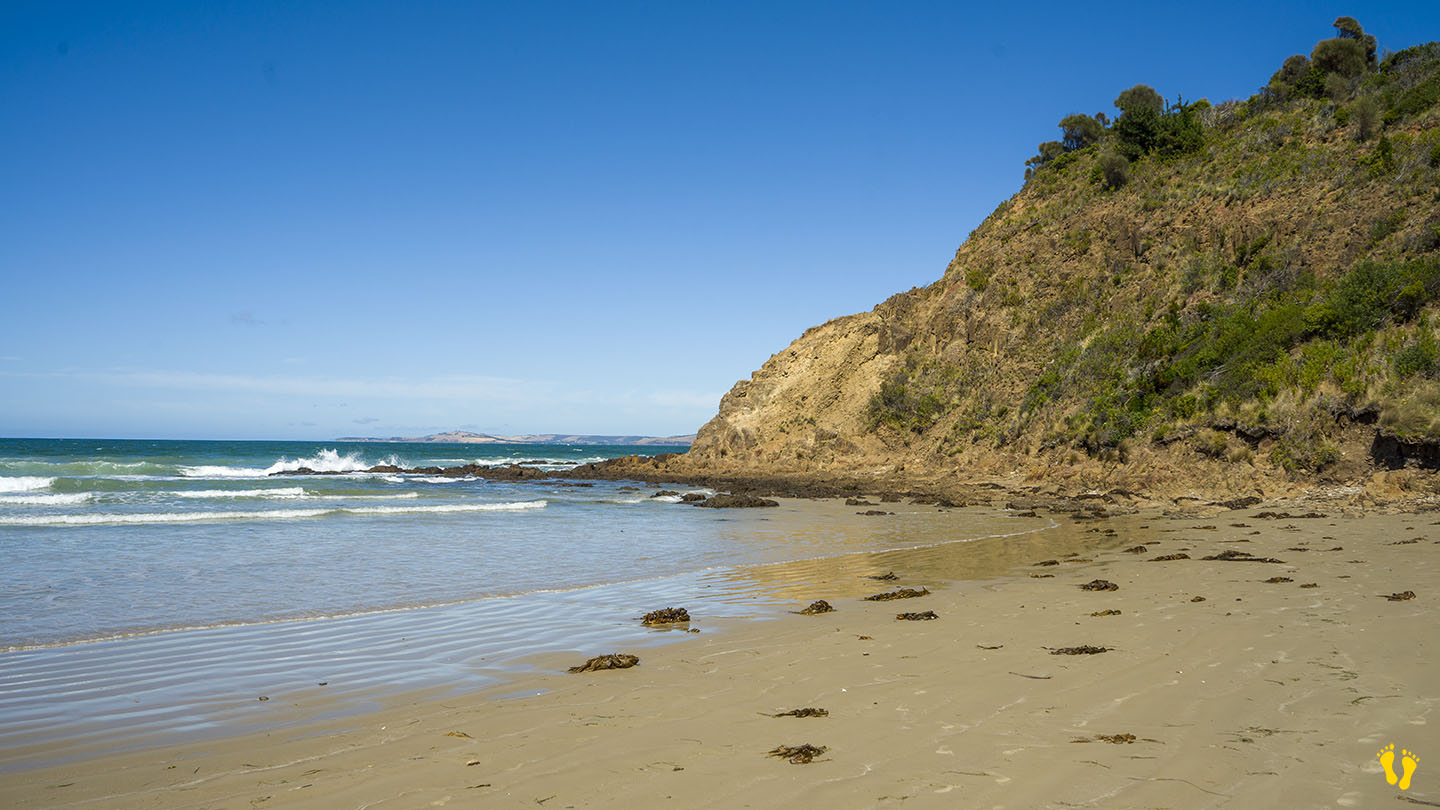
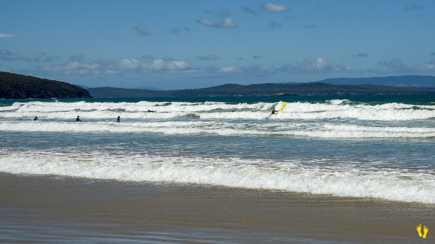
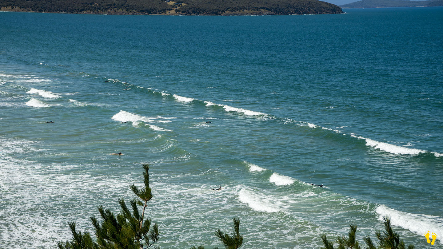
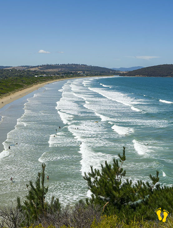
by Mickey Jarvis | Jul 13, 2024 | Dodges / Carlton, South East, Surf
Hazard Rating: 5/10 | Parking: Good + close | from Hobart: 30 km | Faces: South-ish into Tiger Bay | Length: 2.8 km
Park Beach is near Dodges Ferry in southeast Tasmania and is the western end of Carlton Beach.
A popular surf beach close to Hobart that offers a range of surf conditions.
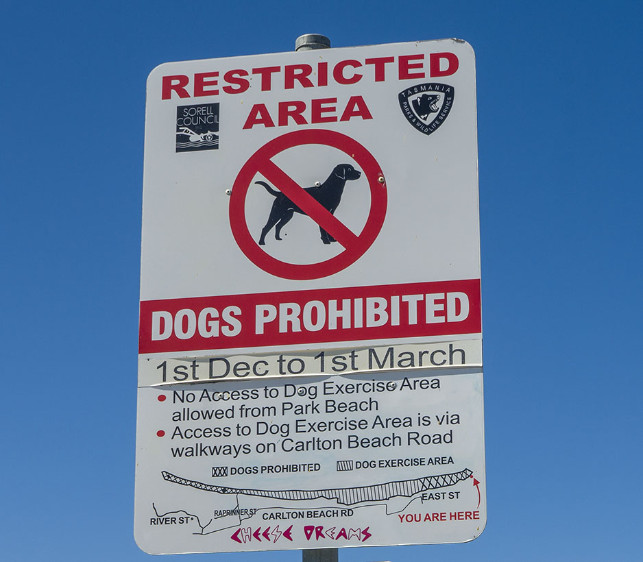
Historically, it was a patrolled beach with a surf club, but it appears no more. The east end (Carlton) is still patrolled.
Ideal for surfers, board riders, body surfers and boogie boards. Smaller surf conditions are better for beginners.
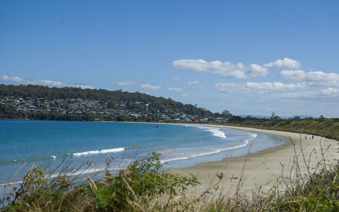
by Mickey Jarvis | Mar 13, 2023 | Dodges / Carlton, South East
Hazard Rating: 2/10 | Parking: Limited | from Hobart: 50 km | Faces: SW into Frederick Henry Bay | Length: 1.8 km
Near Carlton, a beautiful sweeping beach usually well protected and quiet. Best access is on the bottom (south-east) end with other limited access along it’s shore.
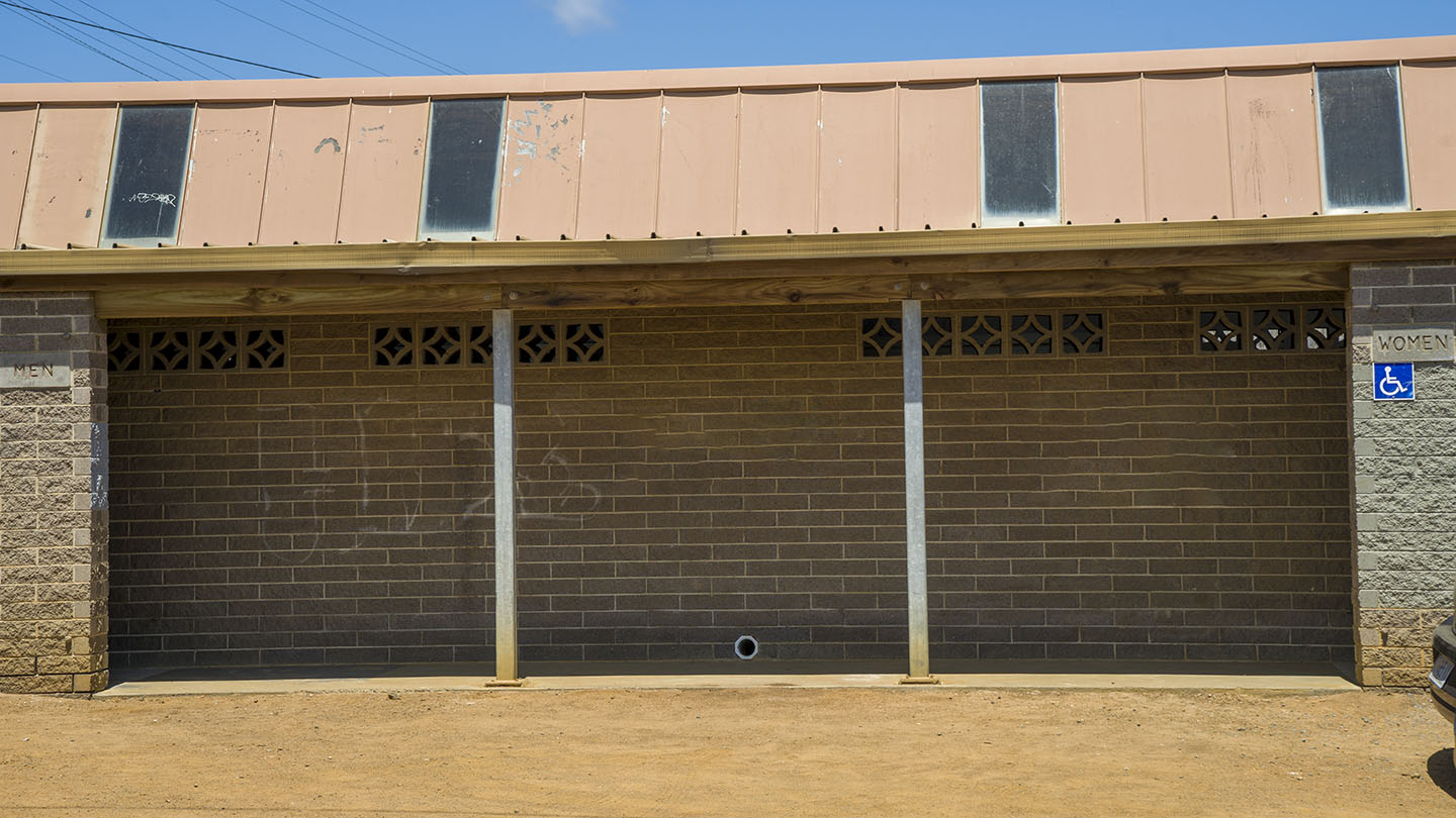
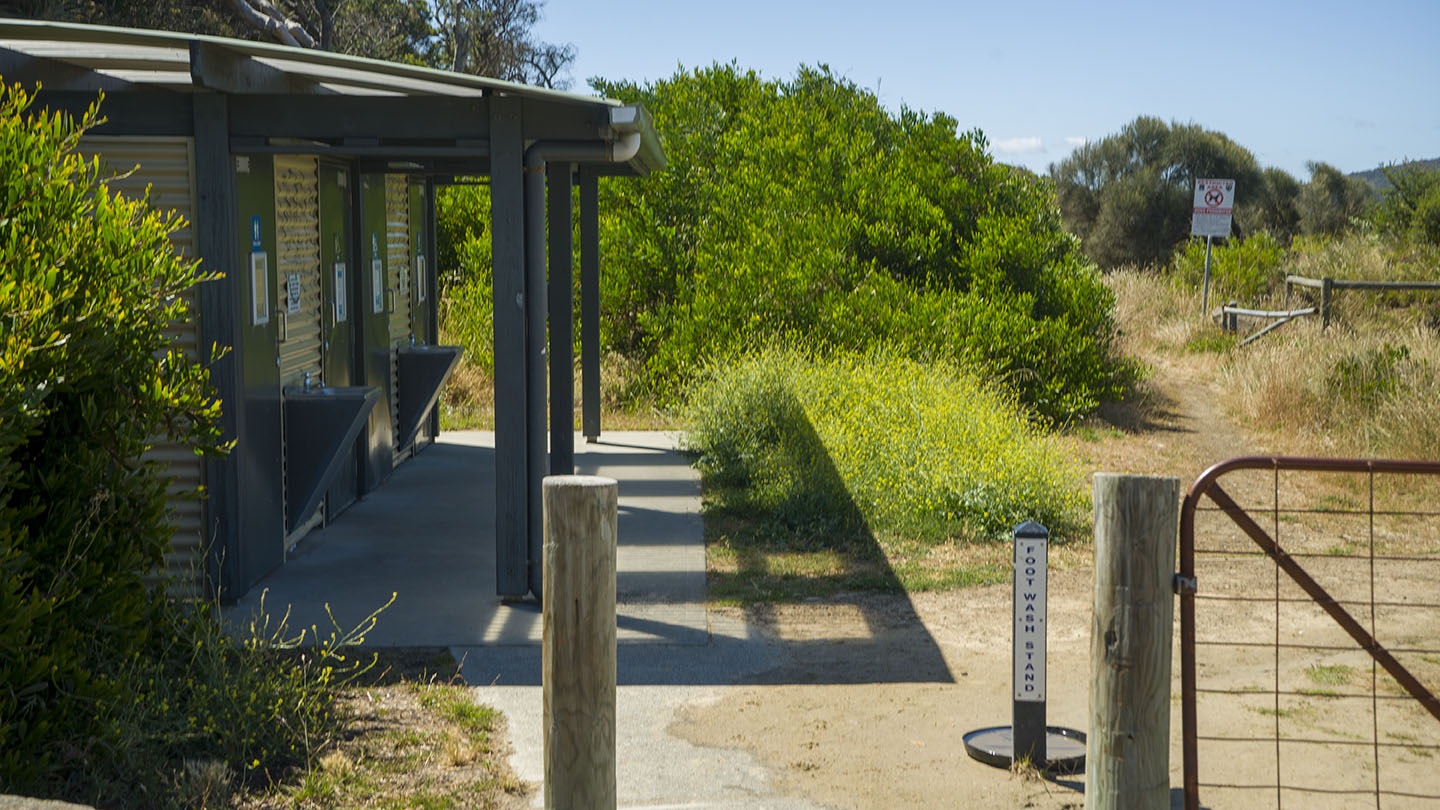
Toilets on the south-east end next to the skate ramp about 200m from beach. Shop nearby. Great views of Mt Kunanyi and the island ‘Isle of Caves’.