by Mickey Jarvis | Feb 10, 2023 | Greater Hobart, South East, Surf
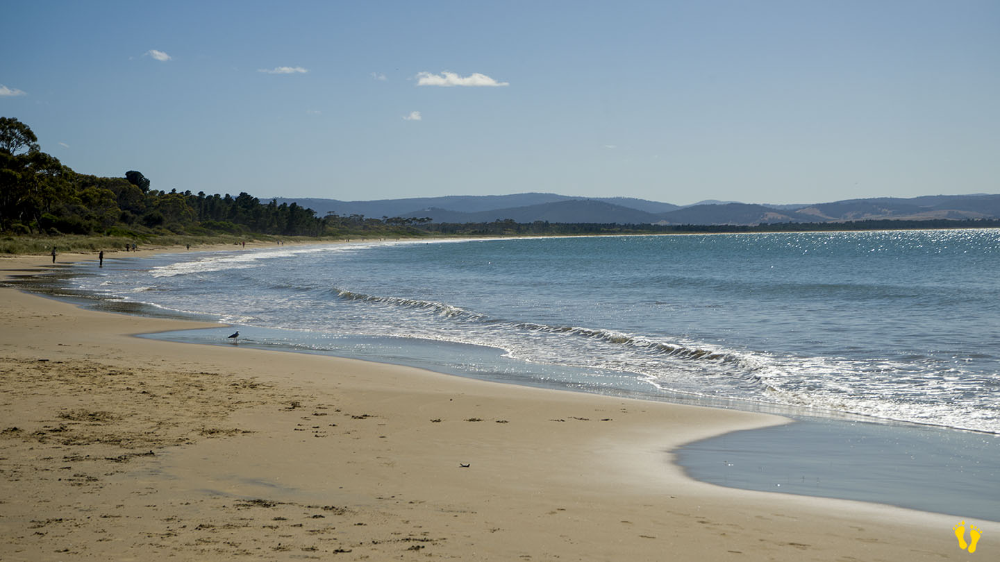
Hazard Rating: 3-4/10 | Parking: Good and close | from Hobart: 21 km | Faces: South East into Tiger Head Bay | Length: 10 km
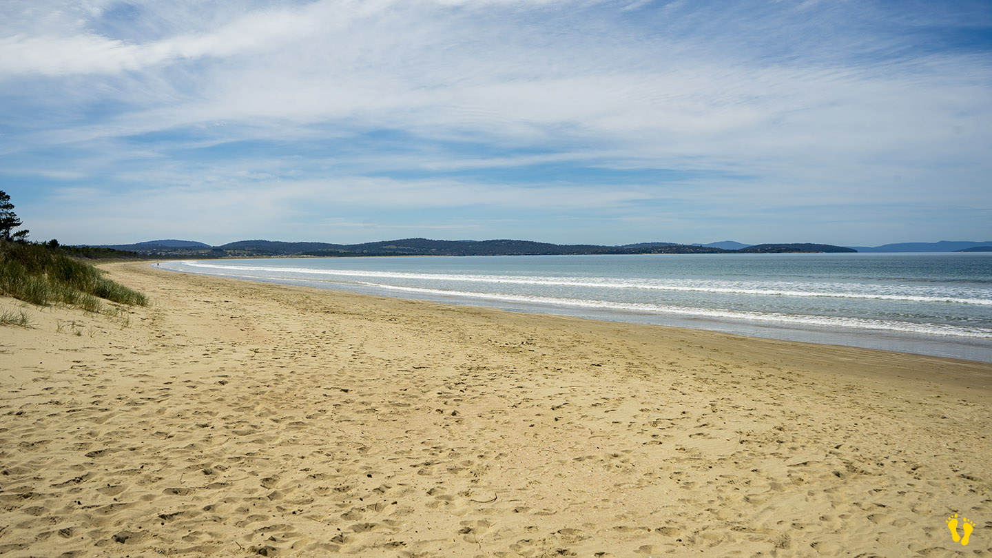
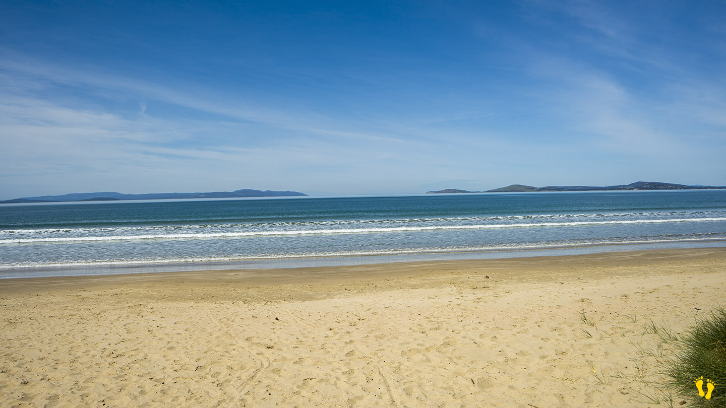
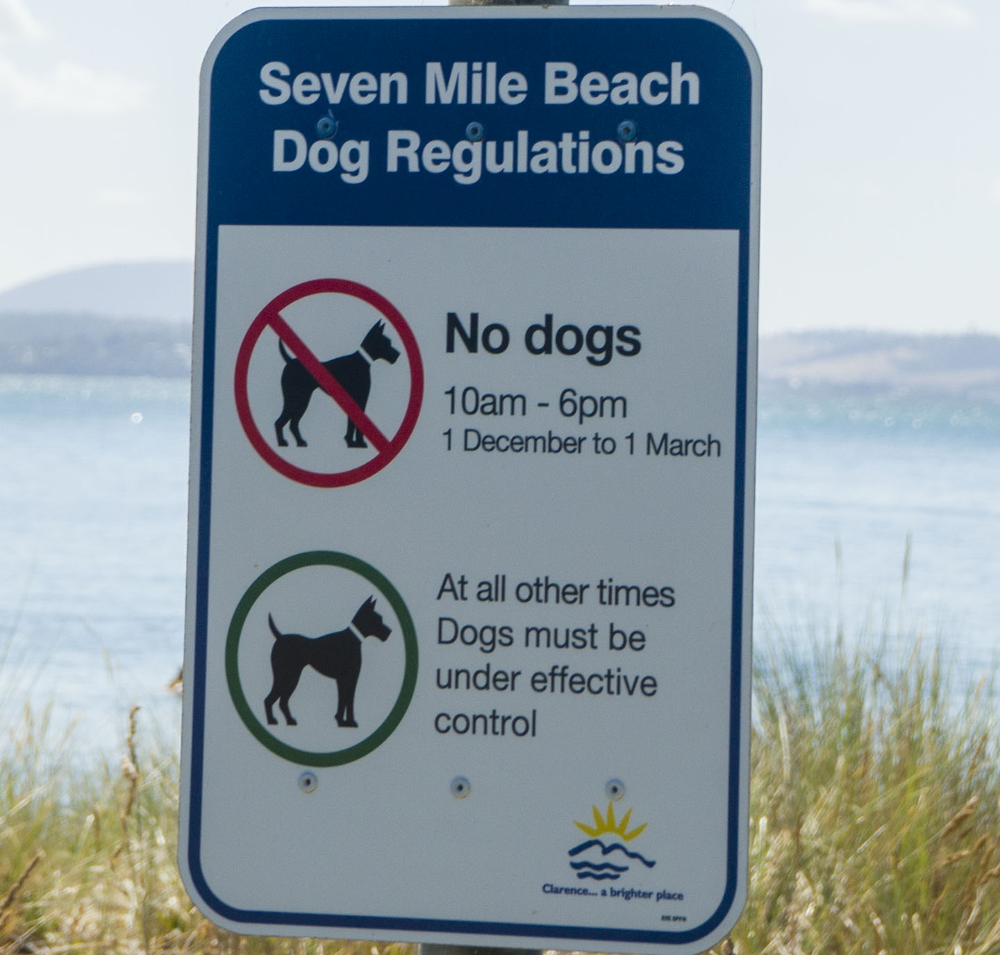
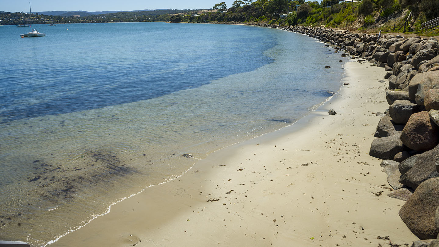
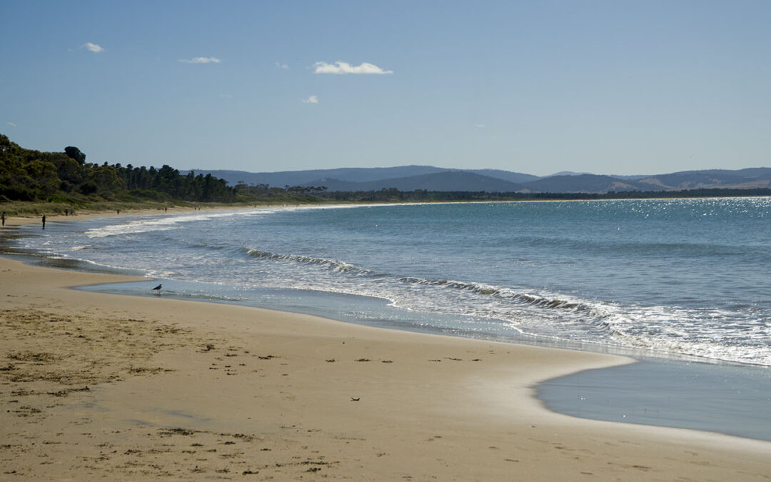
Who would have thought? – the beach is Just under 7 miles long! (about 10 km). A beautiful sweeping beach worth a walk along its length, mind you that would be a 20 km walk if you want to get back to where you started!
The beach is split into west and east which are accessed differently.
EAST END
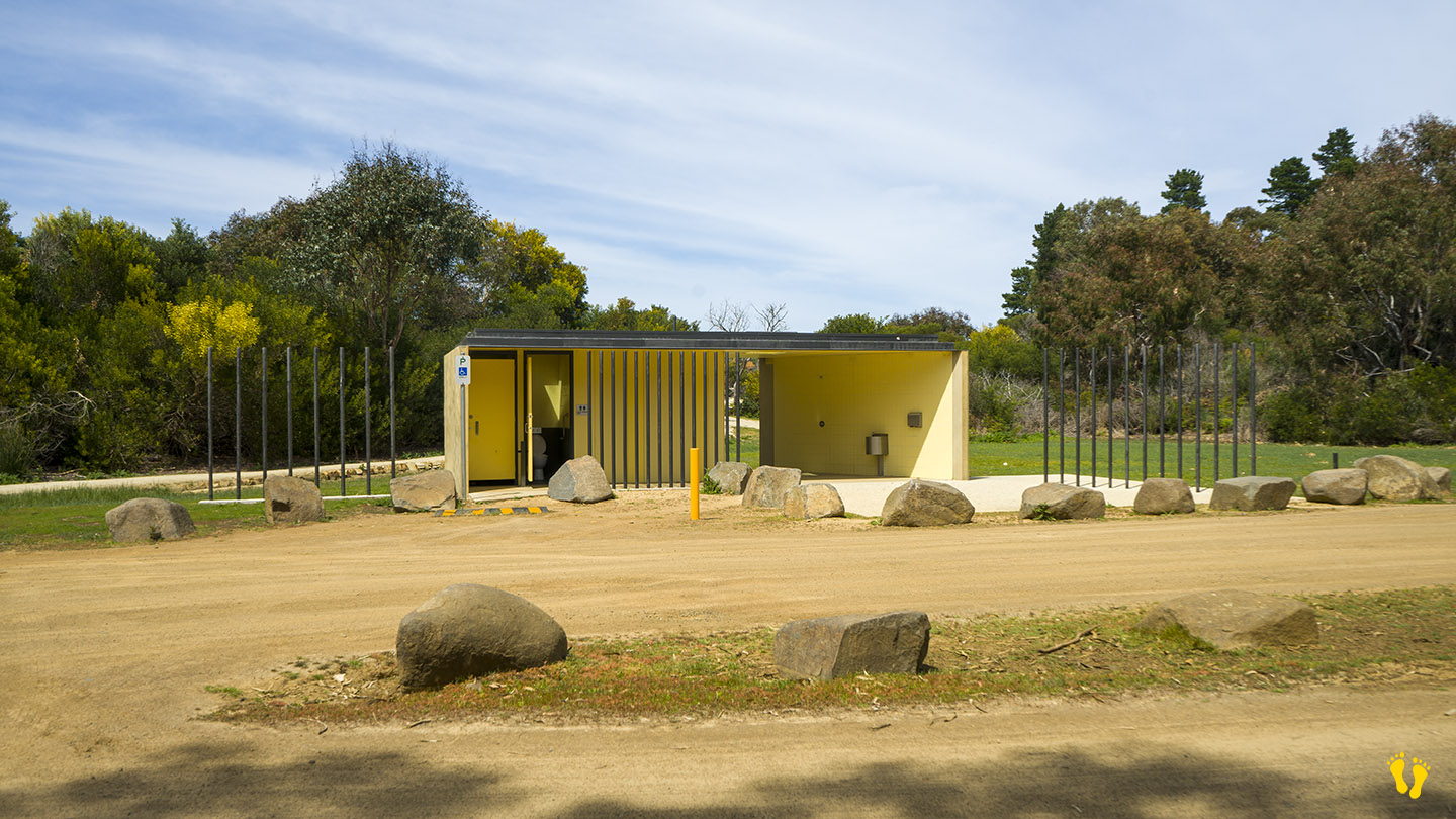
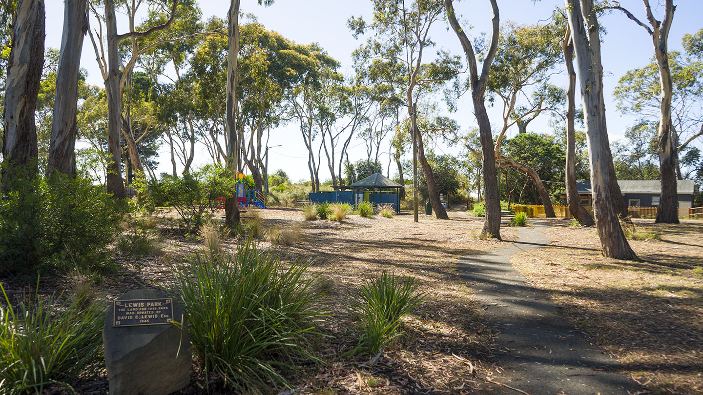
The most commonly used end with access to the beach from several points. This includes Lewis Park which has a playground for kids, toilets and BBQ areas. There is also a nearby shop.
Access via Acton Road – Estate Drive – Seven Mile Beach Road or via the Airport Road (Holmans Drive – Grueber Avenue).
WEST END
Access via Pittwater Road (just past the Airport Road and Barilla Bay Oysters) – turn right.
______________________________
A great beach not far from Hobart with many options which is ideal for kids and families.
If you are thinking of trying to access the far east end of the beach via Surf Road, Central Road or 5 Mile Beach Road, don’t bother – at this point in time they are all blocked. The only way to get to the far east end of the beach is to walk (or ride a horse) – maybe a good thing!
by Mickey Jarvis | May 5, 2024 | Low Hazard, South East, Tasman Peninsula
Hazard Rating: 1/10 | Parking: Good + close | from Hobart: 87 km | Faces: North into Norfolk Bay | Length: 200 m
Original Name: Turrakana, the homeland of the Pydairrerme (Tasman Peninsula’s Aboriginal people)
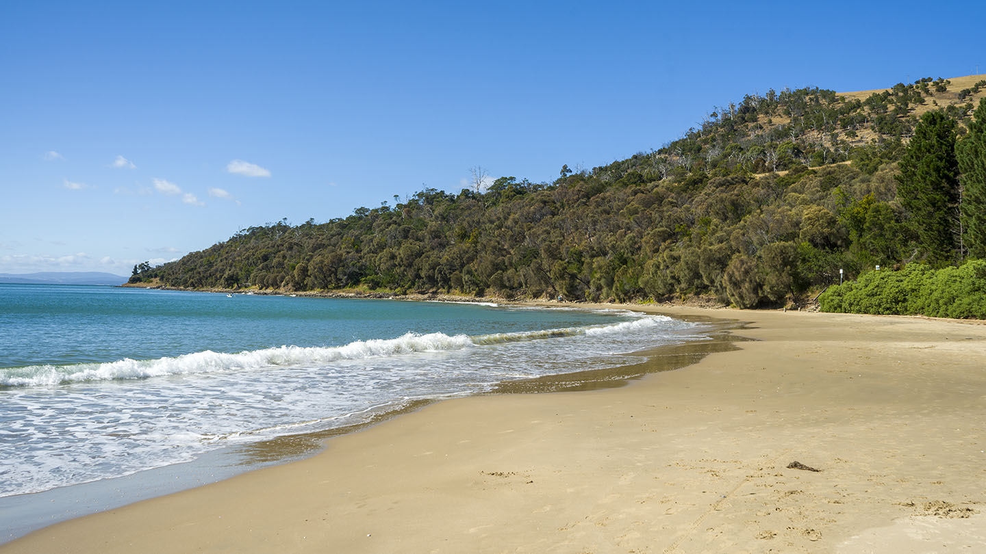
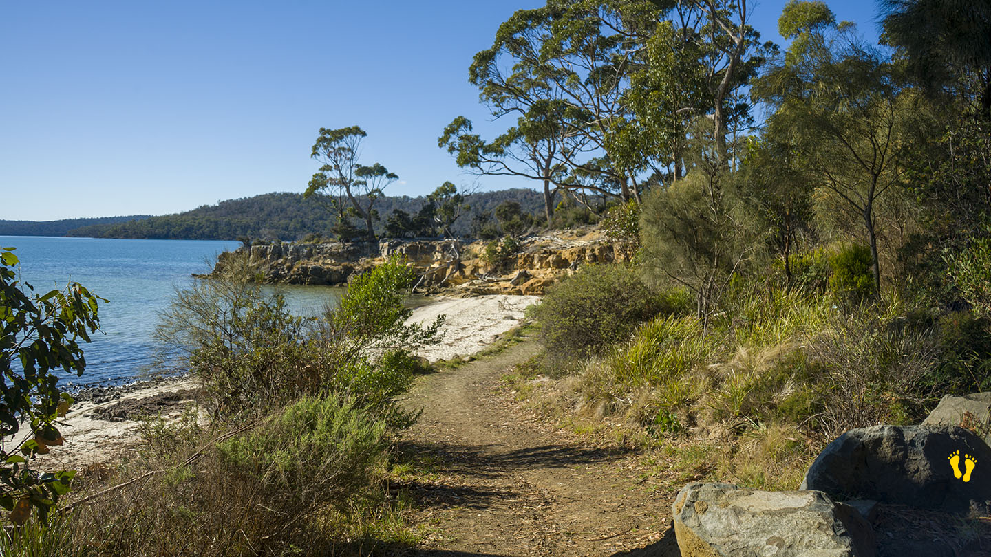
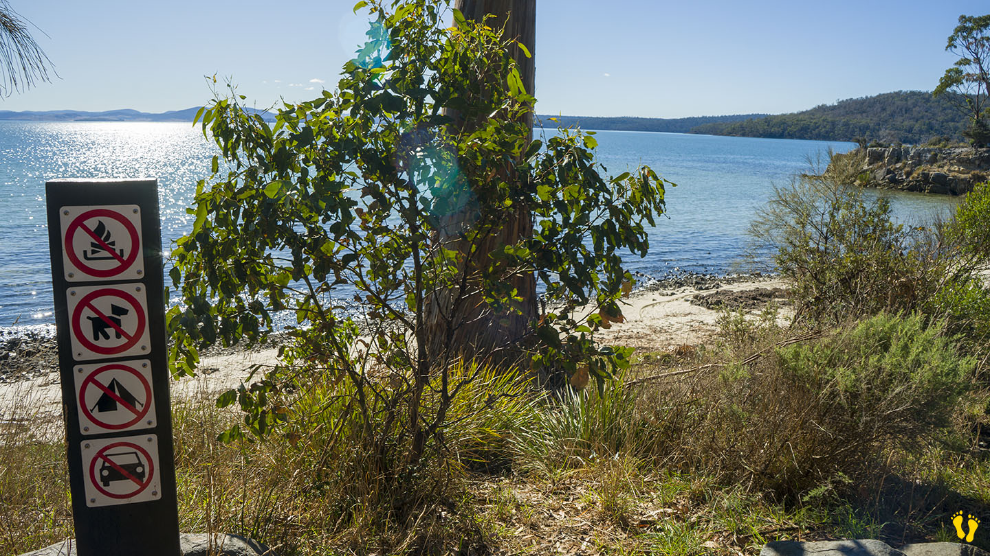
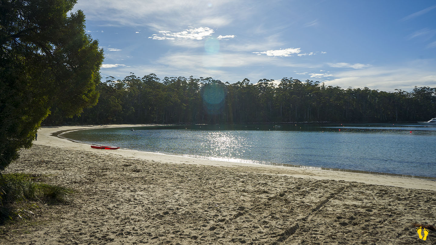
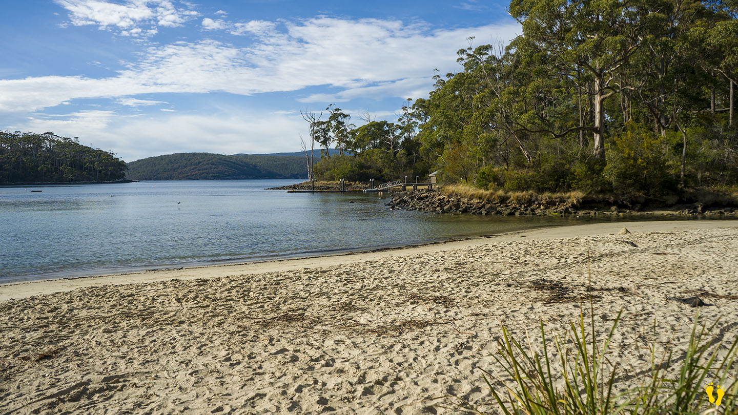
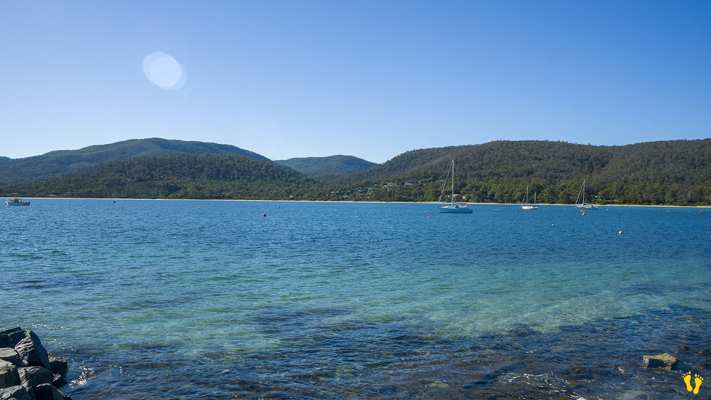
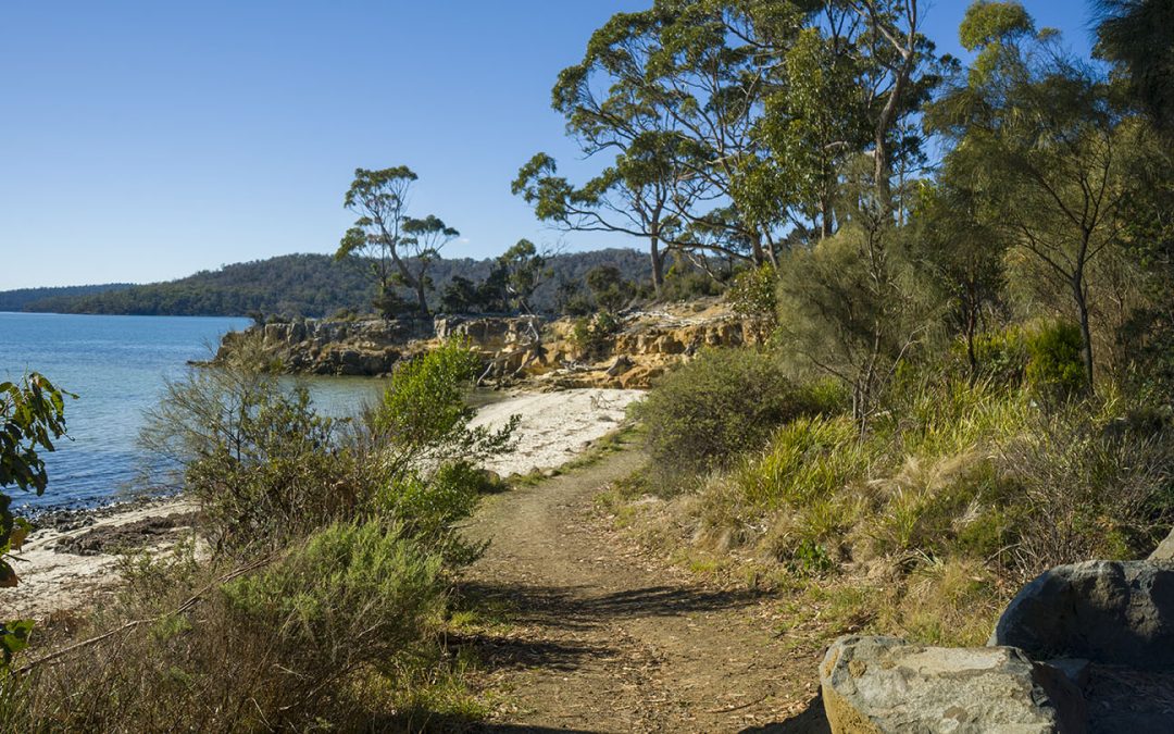
Shelly Beach Koonya faces north into Norfolk Bay and is one of the few accessible beaches along this coastline (due to private ownership of beach access).
A small isolated and protected beach that is great for a private visit to a little out-of-the-way beach. Cliffs to explore, snorkeling, swimming, great views and fishing maybe?
Access via Shelly Beach Road off Nubeena Road about 4-5 km from the Taranna turnoff – you will not experience any crowds here!
by Mickey Jarvis | Apr 28, 2024 | Low Hazard, South East, Tasman Peninsula
Hazard Rating: 2/10 | Parking: Good & close | from Hobart: 105 km | Faces: West into Crooked Billet Bay | Length: 3.5 km
Original Name: Turrakana, the homeland of the Pydairrerme (Tasman Peninsula’s Aboriginal people)
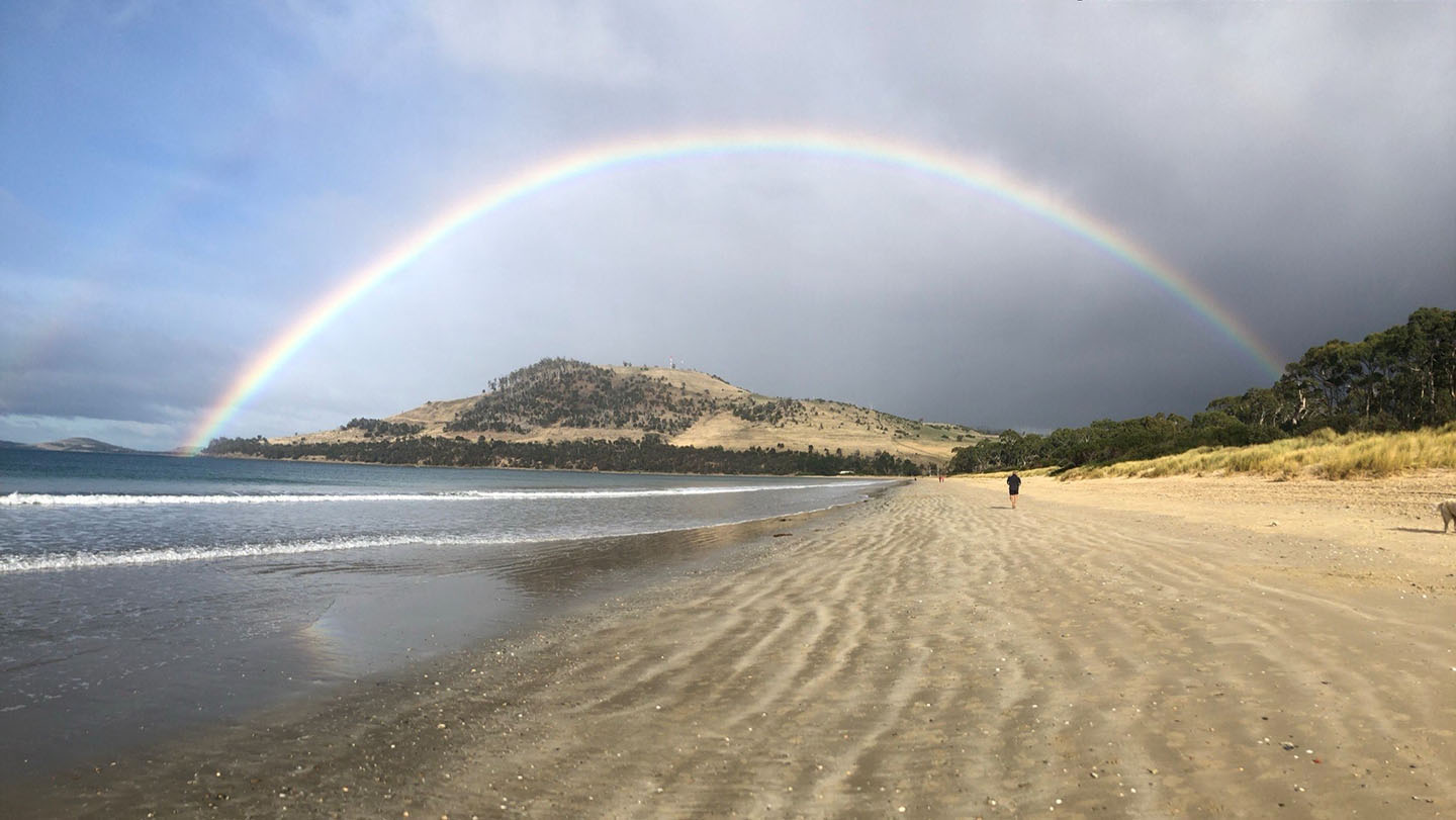
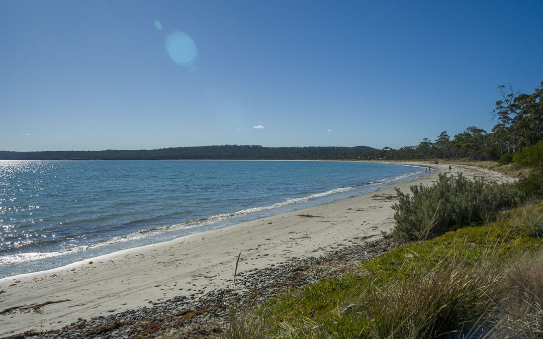
A beautiful sweeping beach facing west, ideal for kids due to its protection from the weather. Several entry points along its shore.
Nearby interesting areas to explore such as the coal mines and other historical sites. To get there – turn off at Premaydena, up Saltwater River Road and turn left at Gwandalan Road (about 10 km). The last part is on a good dirt road.
Named after the island to the northwest – Sloping Island (which has a sloping profile), it is also known as Slopen – the name of a farmer Joshua Slopen who had a farm in the area – as both names sound the same in Aussie vernacular no one can tell the difference – so who cares!
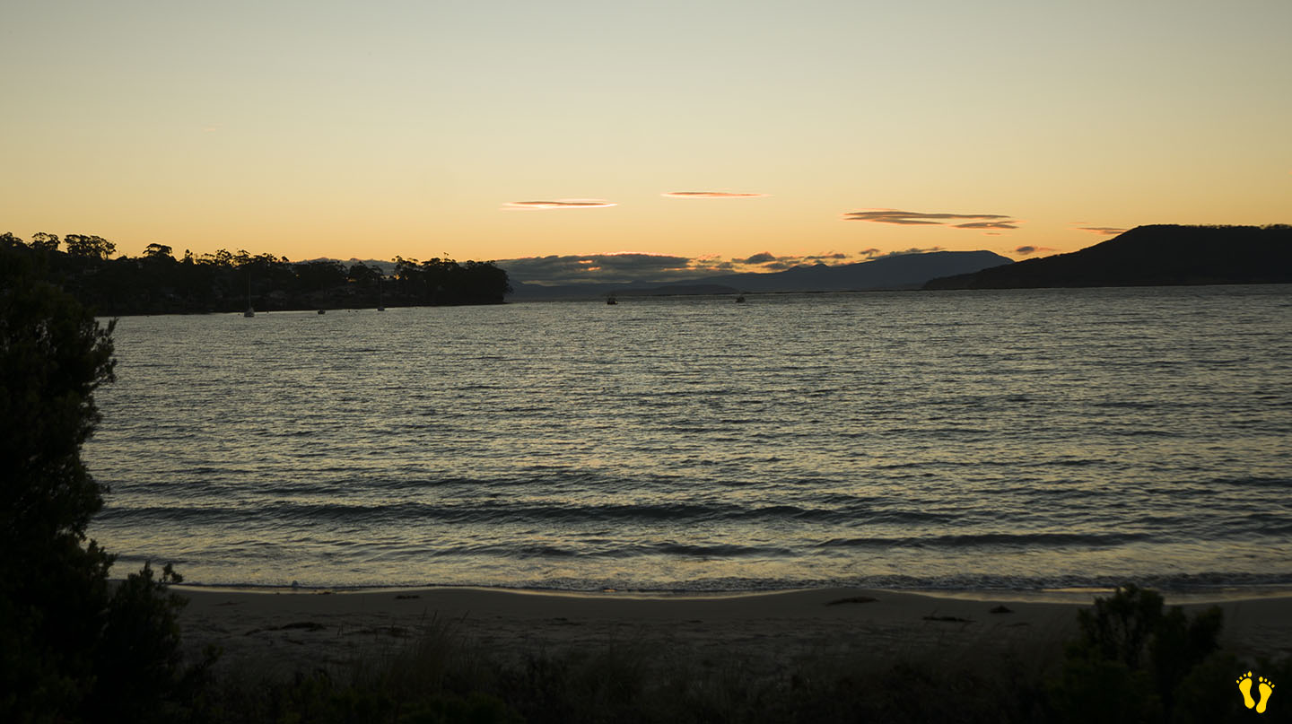
Often has great sunsets and there is camping at nearby Lime Bay. Also referred to Nettie Beach on Google Maps? Toilets at the south end.
by Mickey Jarvis | May 4, 2024 | Low Hazard, South East, Tasman Peninsula
Near Port Arthur |
Hazard Rating: 1/10 | Parking: Good + close | from Hobart: 90 km | Faces: Southeast-ish into Ladies Bay | Length: 500 m
Original Name: Turrakana, the homeland of the Pydairrerme (Tasman Peninsula’s Aboriginal people)
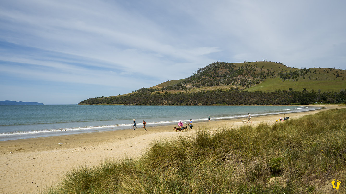
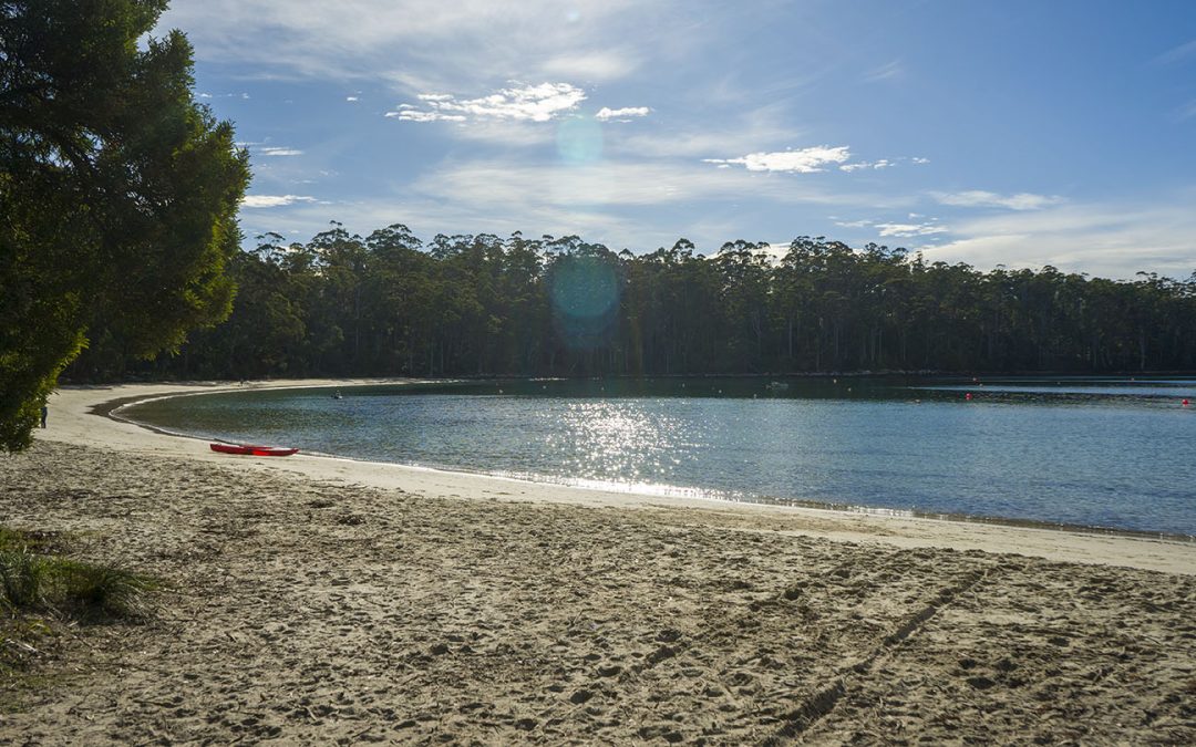
Stewarts Bay is located near Port Arthur between Garden and Fryingpan points. Well-protected, the beach is ideal for families and kids.
A must-visit if you are in the area, not usually too busy with great views. My friend Christine grew up here and describes it as a positive and pivotal part of growing up in the area. Alberry Creek enters into the bay for a safe paddling area. Access to the beach to launch small boats and kayaks, etc.
There is a park area for a picnic with nearby toilets.
by Mickey Jarvis | Feb 5, 2023 | Dodges / Carlton, Low Hazard, South East
Hazard Rating: 1/10 | Parking: Good + close | from Hobart: 25 km | Faces: East-ish into Tiger Head Bay | Length: 200 m
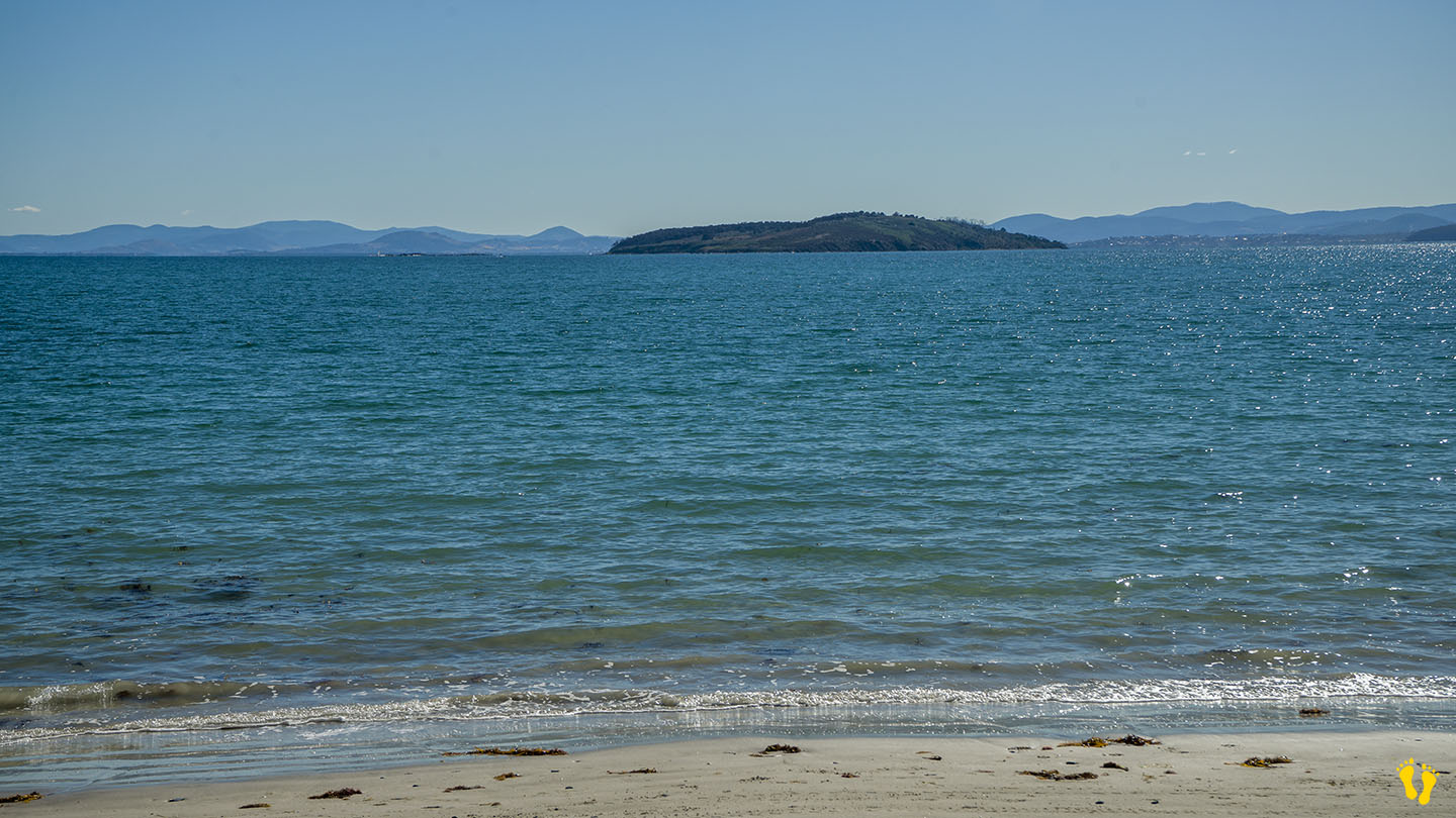
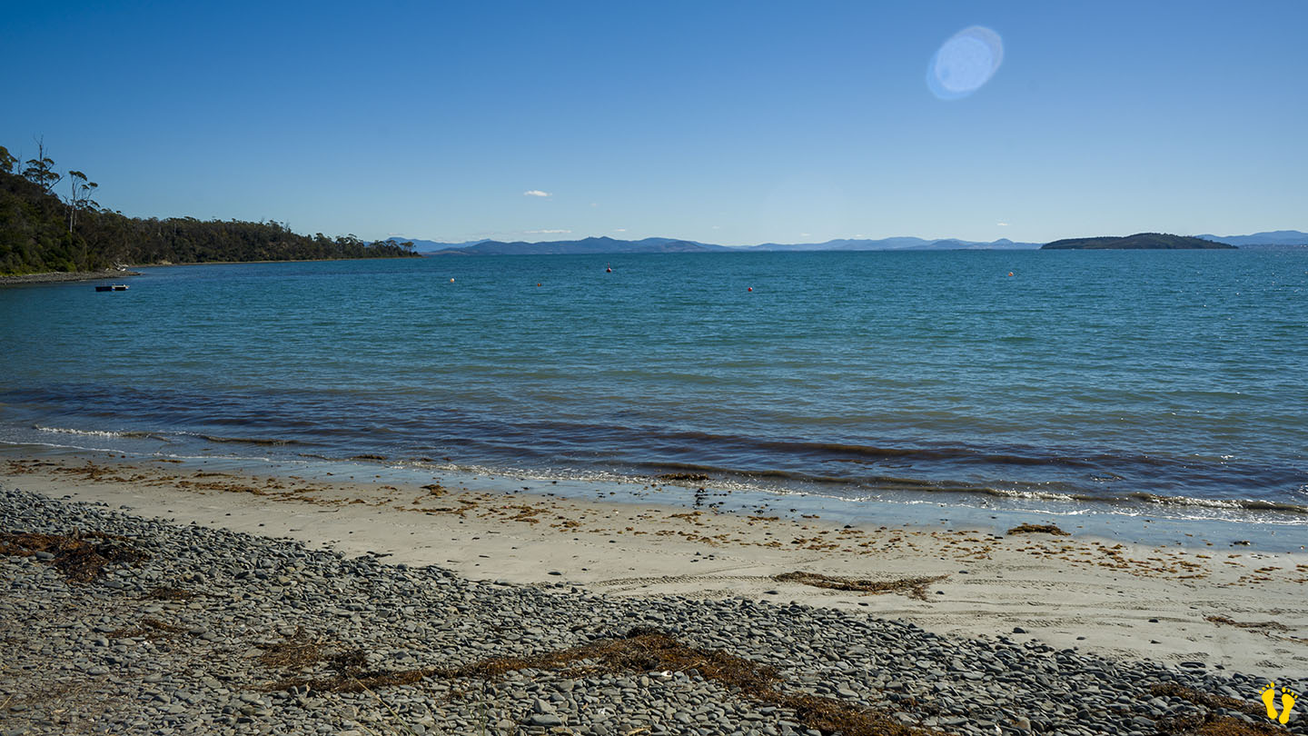
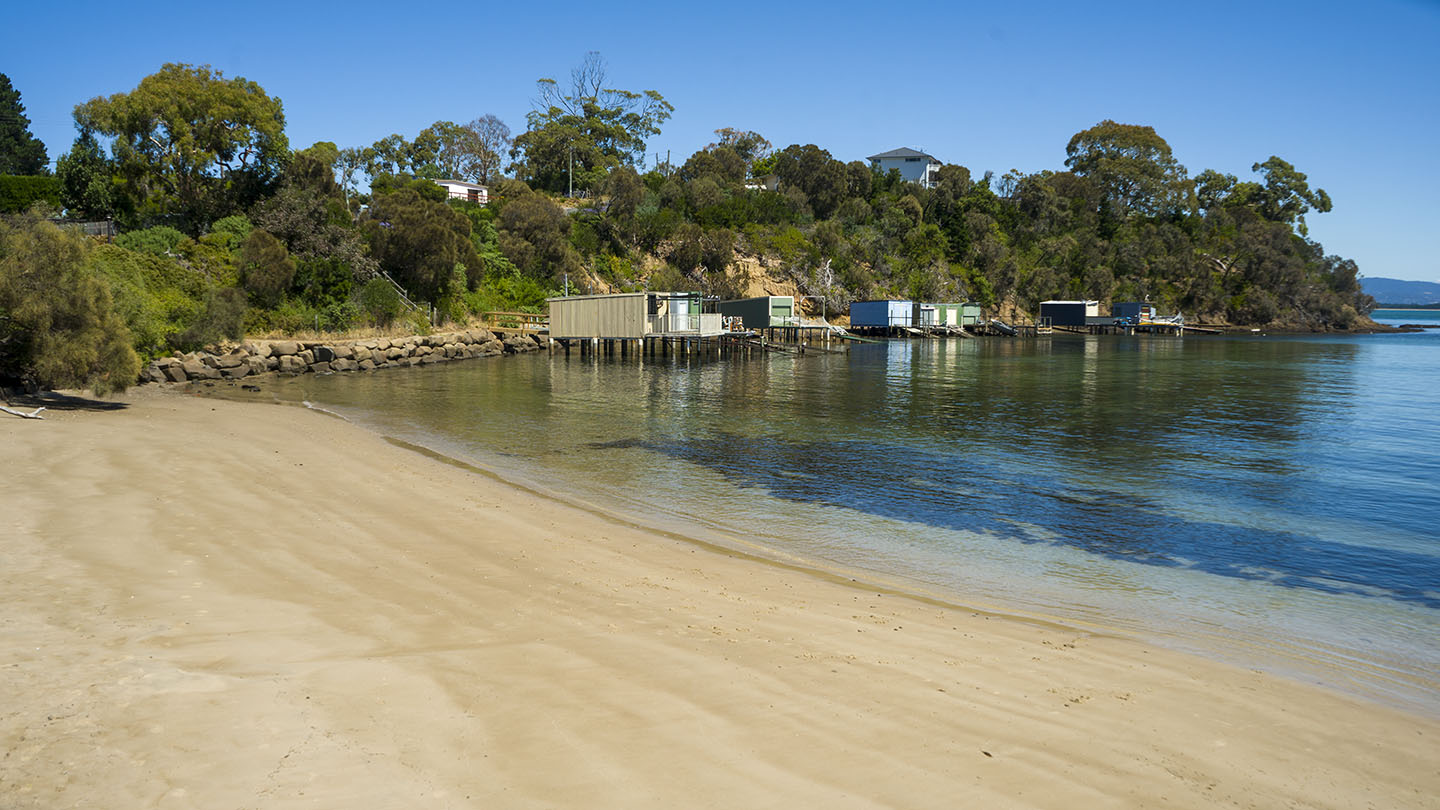
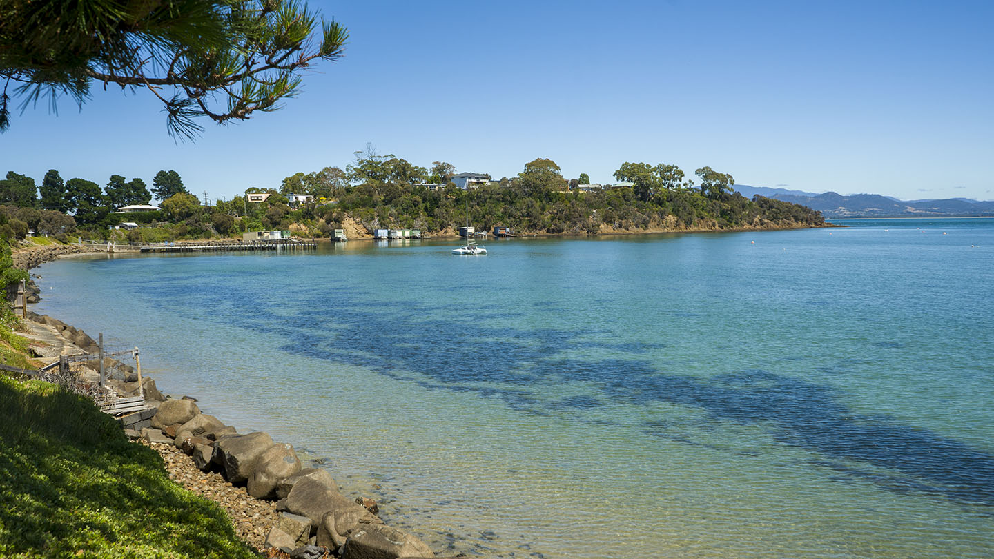
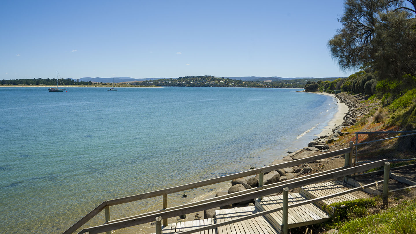
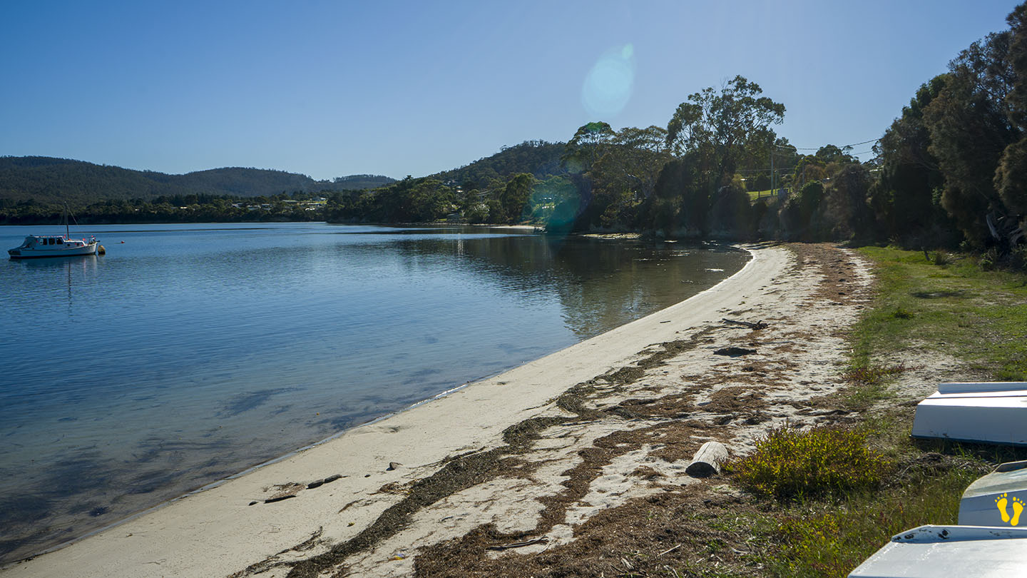
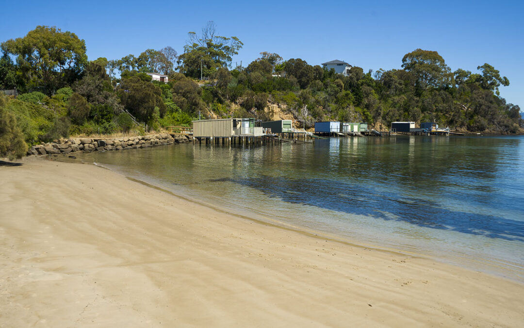
Tiger Head Beach is located in Dodges Ferry and is a small well protected beach with shallow foreshore ideal for young kids to play.
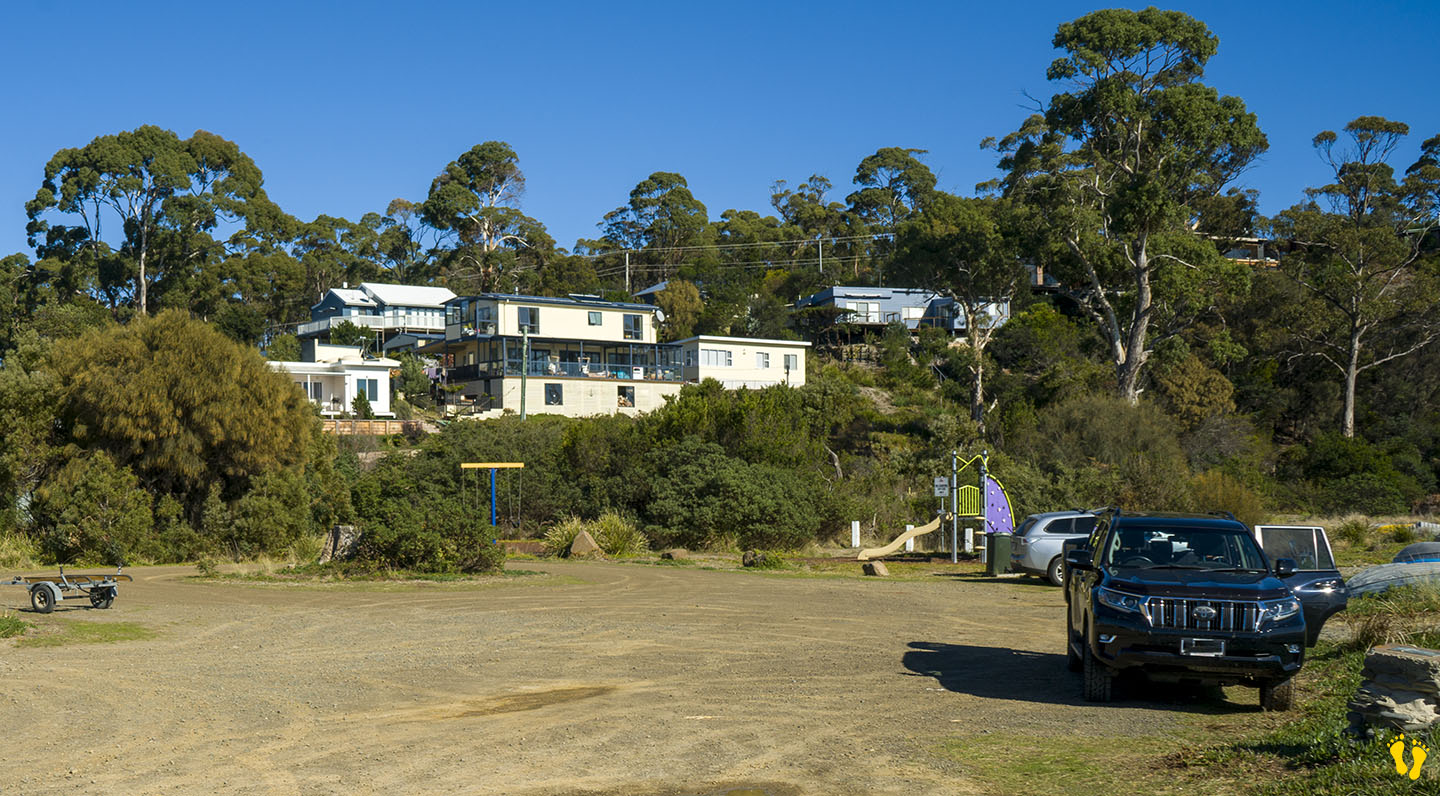
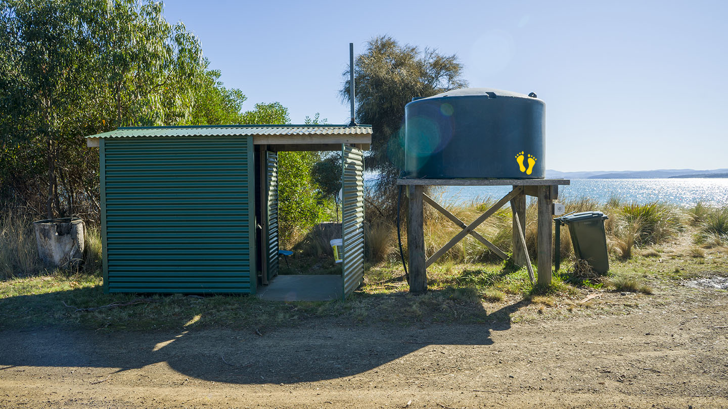
Next to an excellent playground called Boat Park with playground, toilets and BBQ’s. It has everything for an ideal picnic or kid’s birthday party.
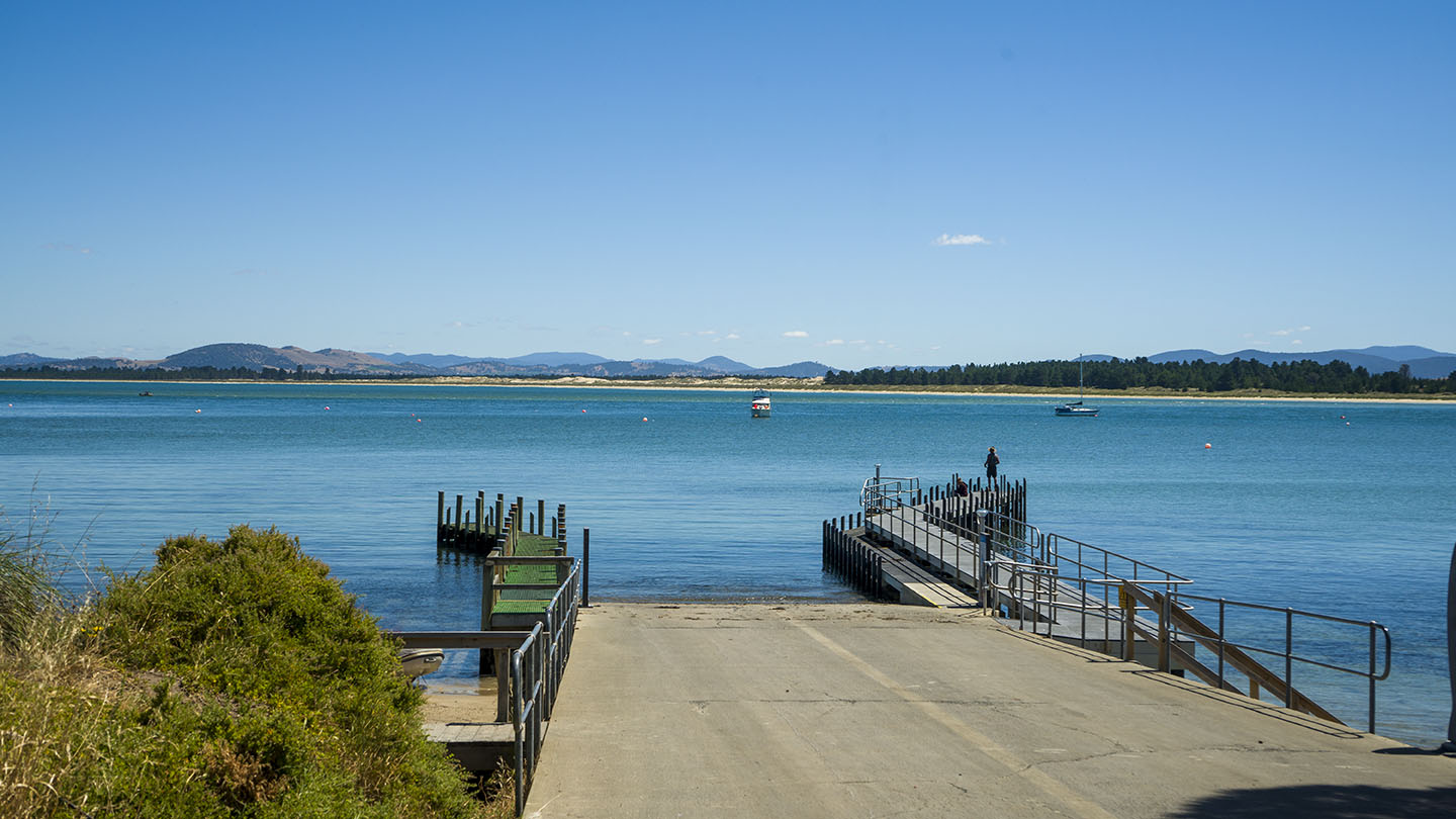
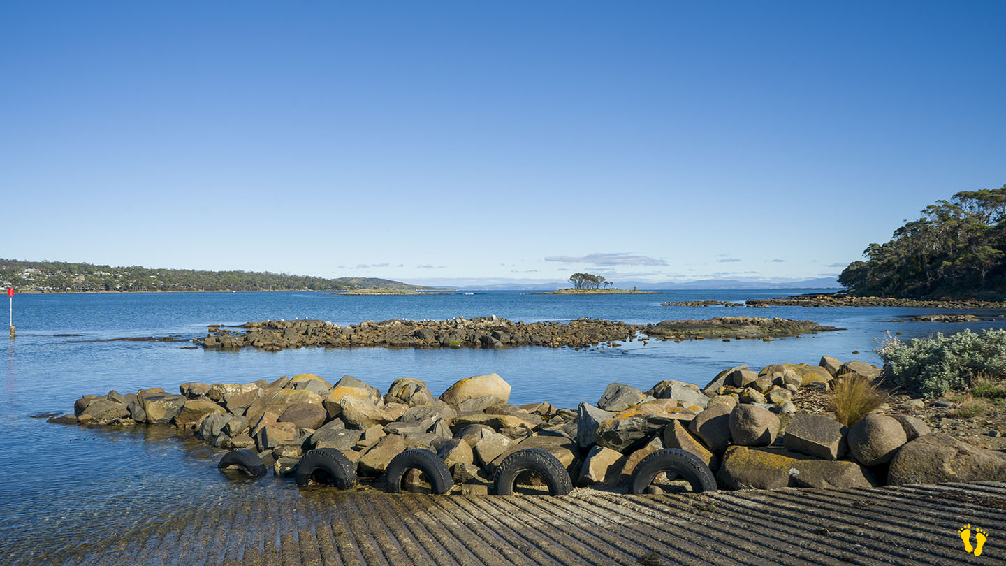
Close to shops & a recommended fish & chip shop. An excellent boat ramp with good fishing access.
by Mickey Jarvis | Apr 28, 2024 | Low Hazard, South East, Tasman Peninsula
Near Nubeena | Hazard Rating: 2/10 | Parking: Varied | from Hobart: 104 km | Faces: West into Crooked Billet and Storm Bay Bay | Length: 3 km
Original Name: Turrakana, the homeland of the Pydairrerme (Tasman Peninsula’s Aboriginal people)
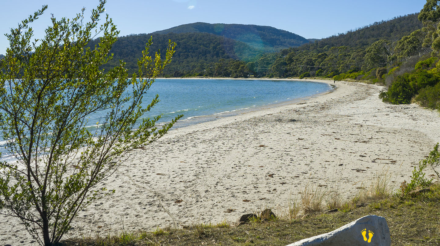
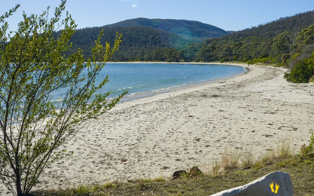
White Beach is a long sweeping beach facing west into a protected bay on the southwest side of the Tasmanian Peninsula not far from Nubeena. Several entry points to the beach along its length with the best access at each end.
Somewhat secluded you will experience a beautiful beach that is great for kids – presumably named because of its white beach sand.
A boat ramp at the northern end with a jetty that is good for fishing. Toilets towards the north end. Views of ‘Brother’ and ‘Sister’ Islands.