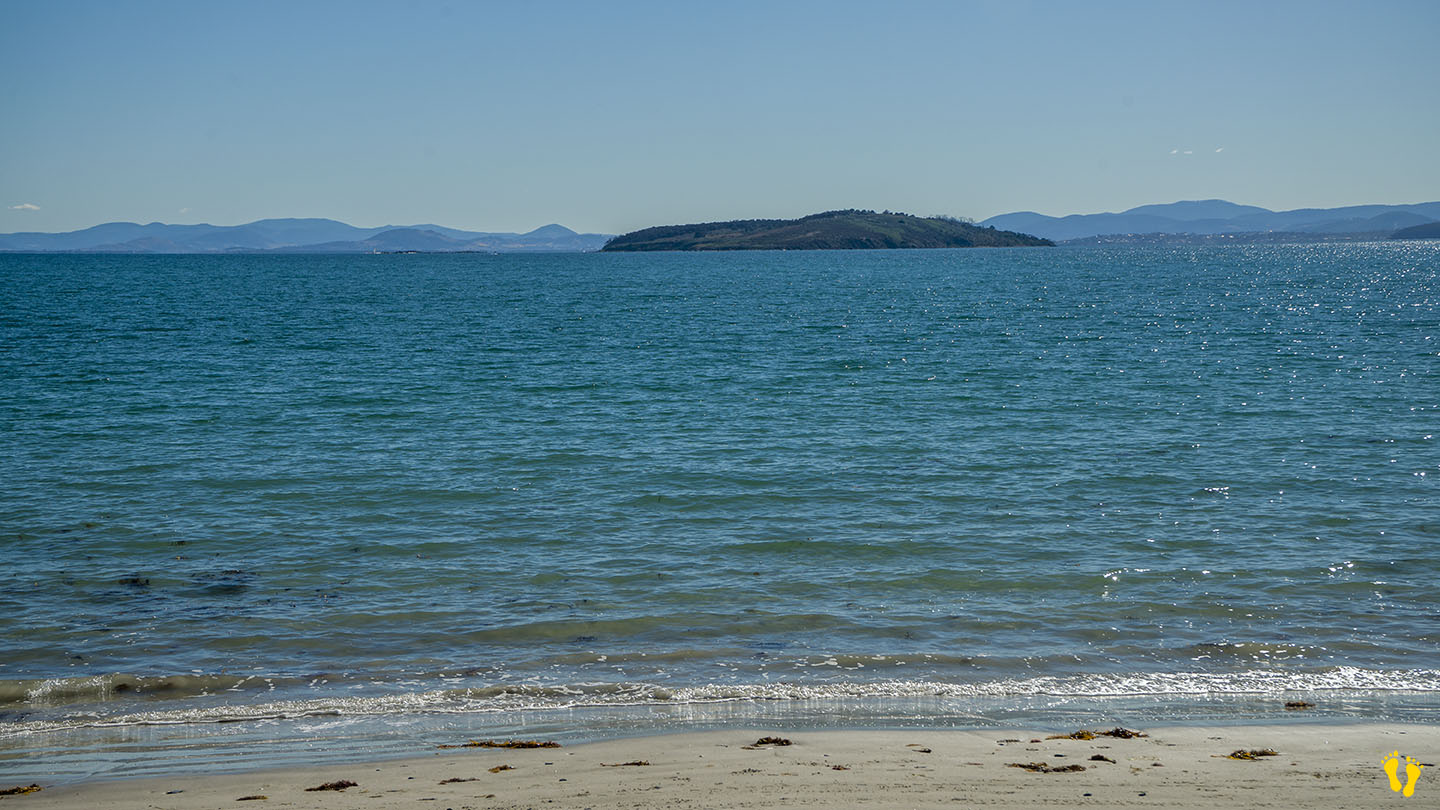
Hazard Rating: 1/10 | Parking: Good + close | Faces: North East into Ralphs Bay | Length: 1.5 km
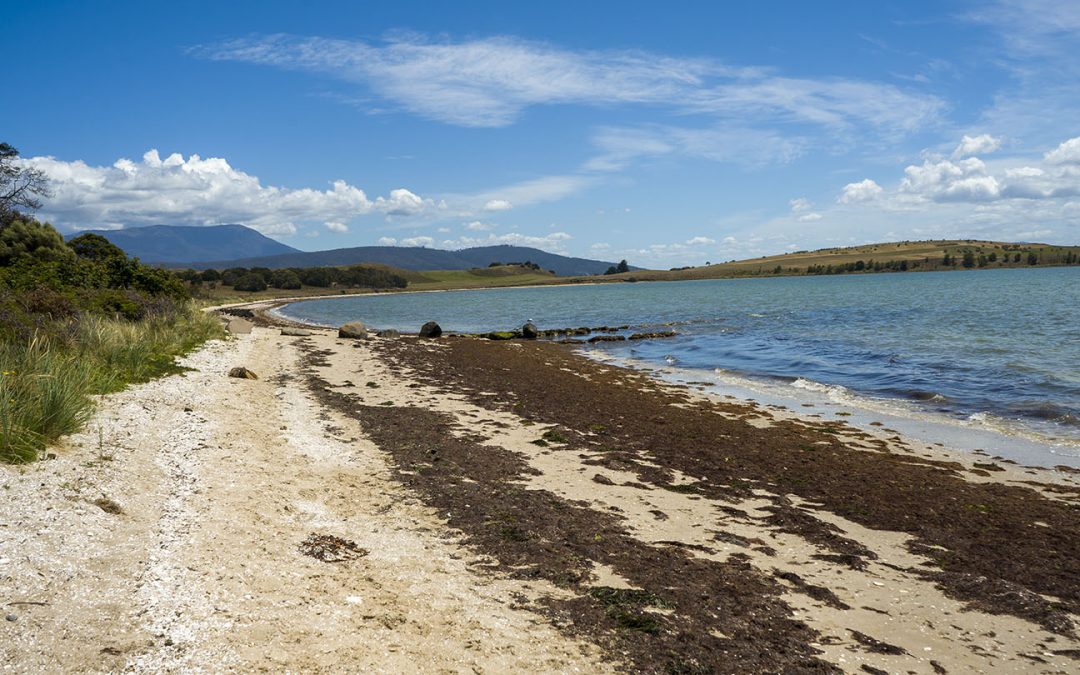
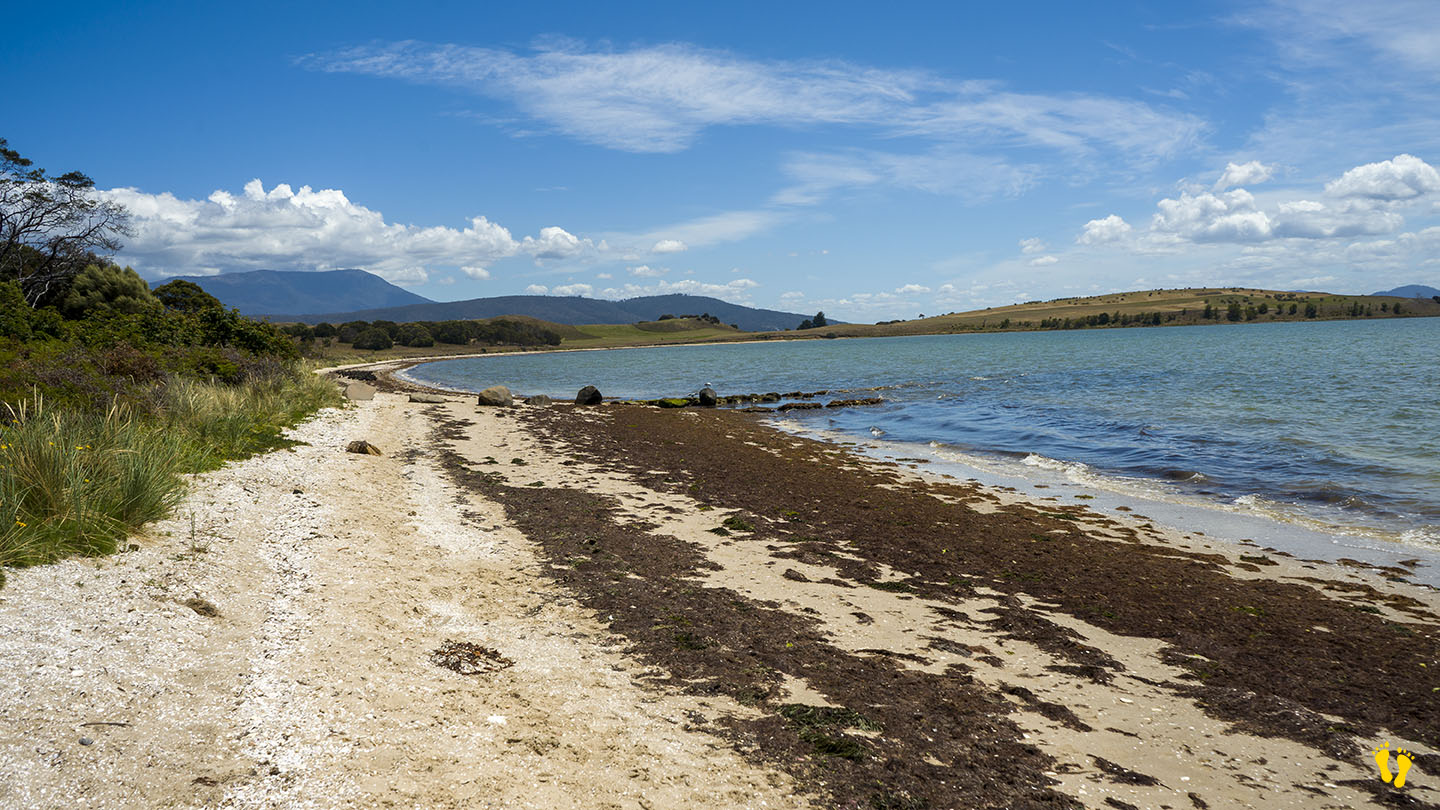
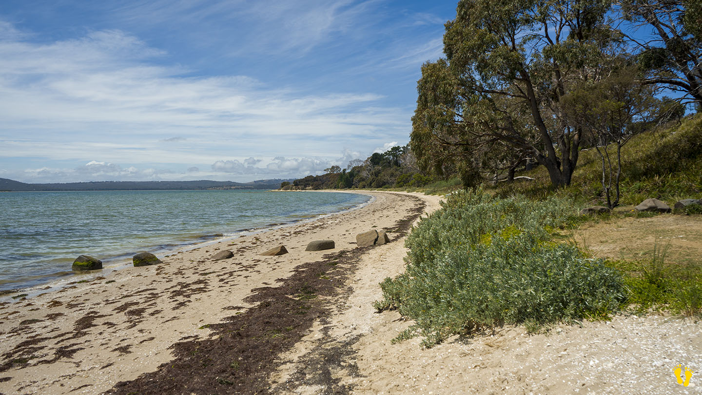
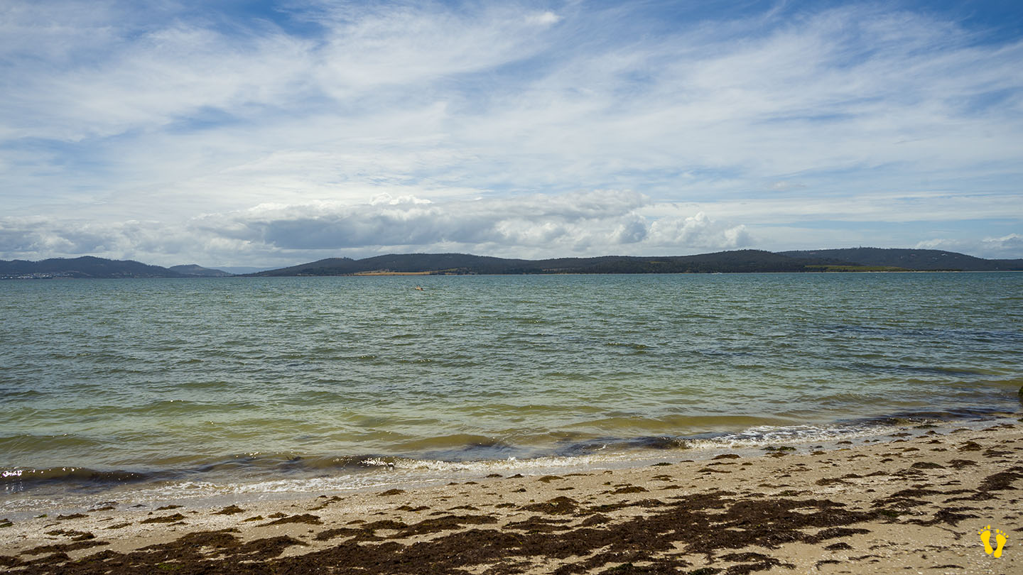
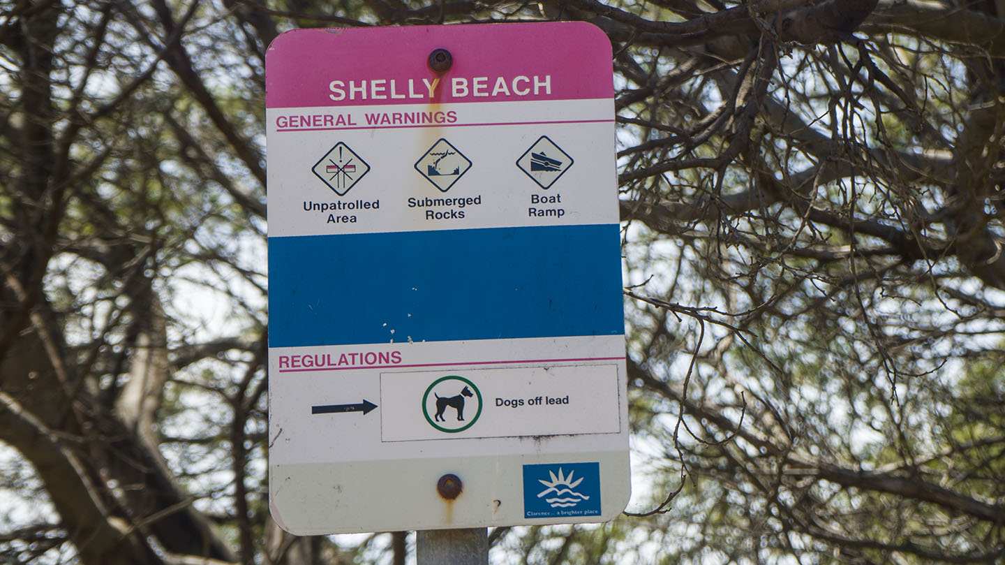
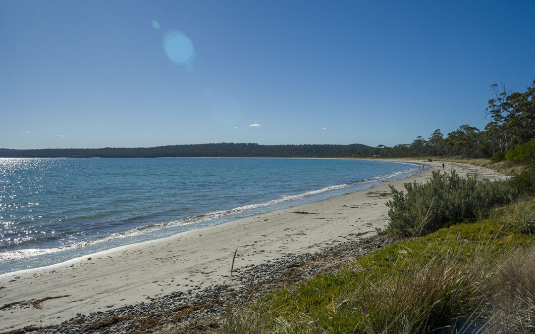
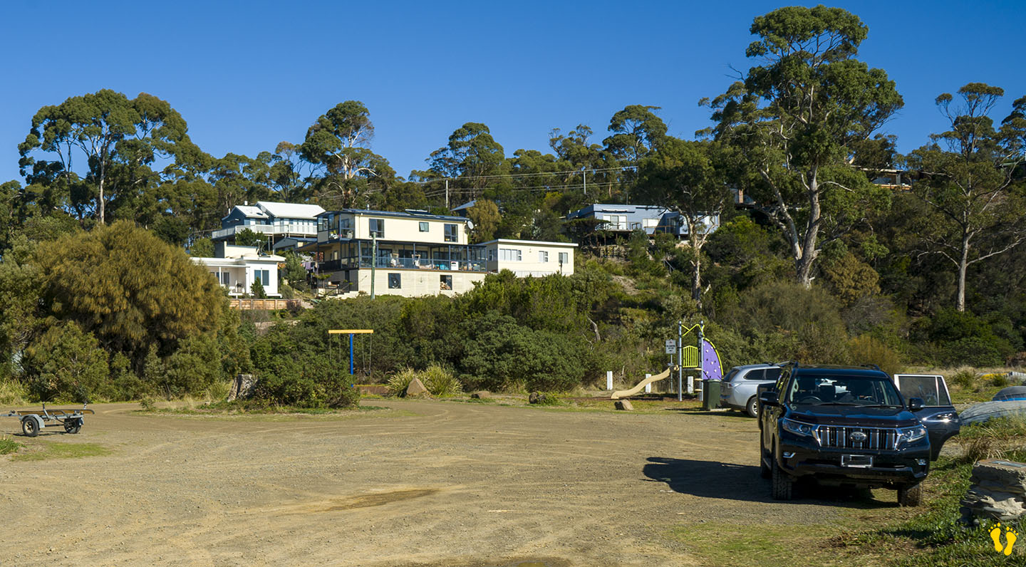
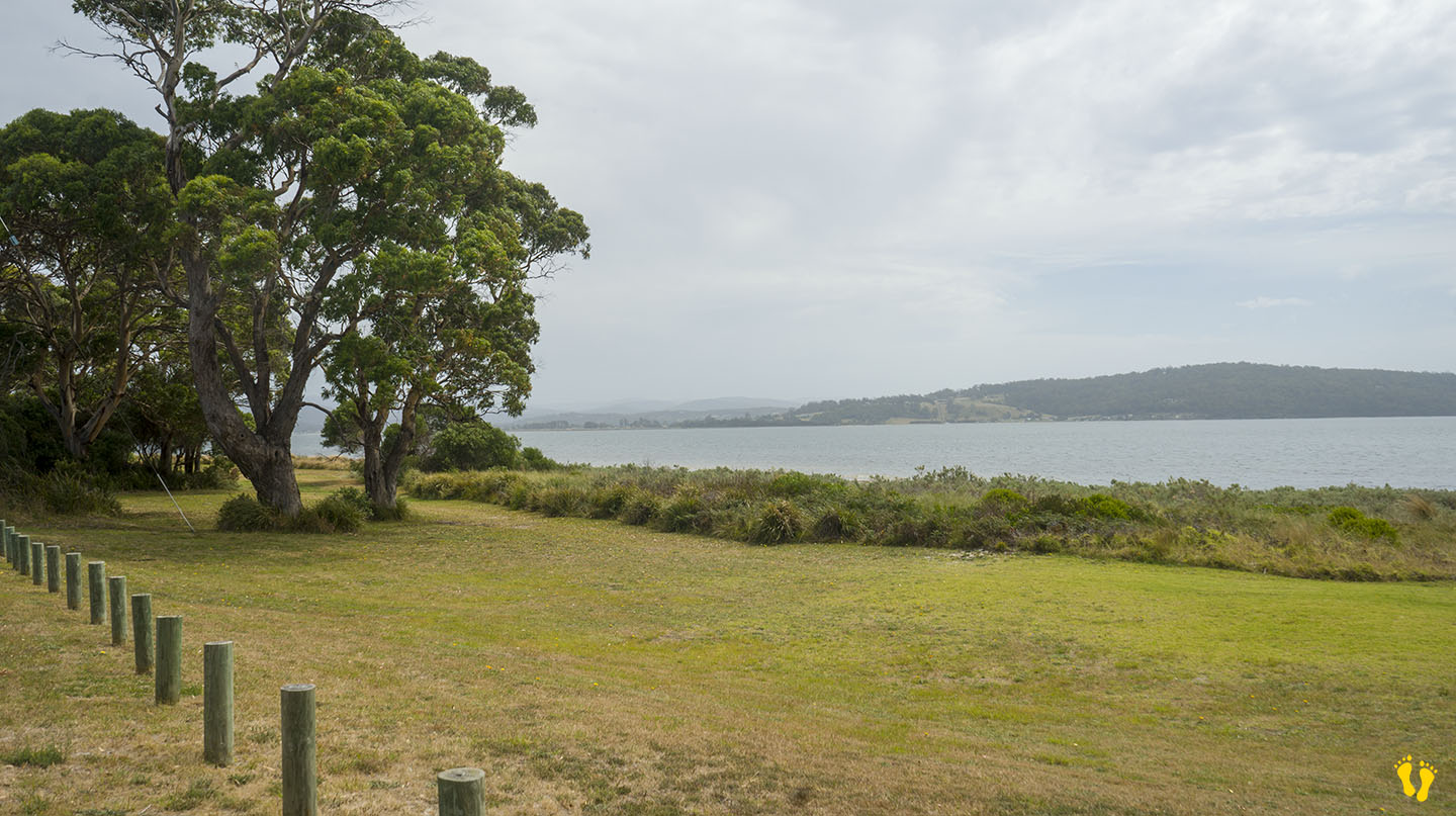
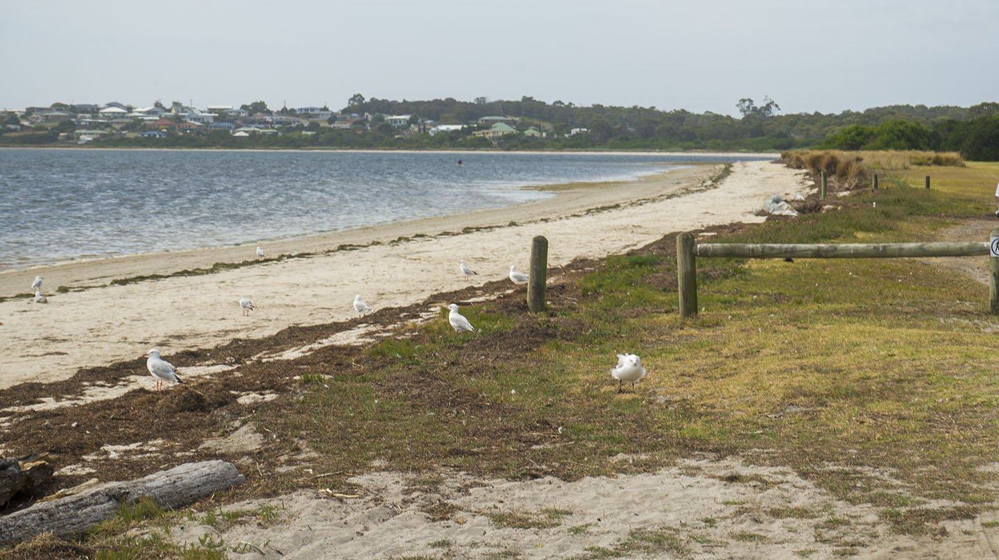
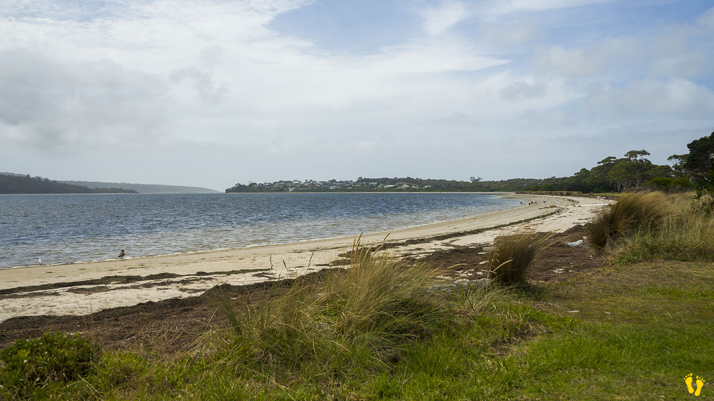
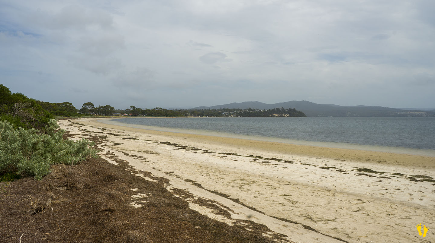
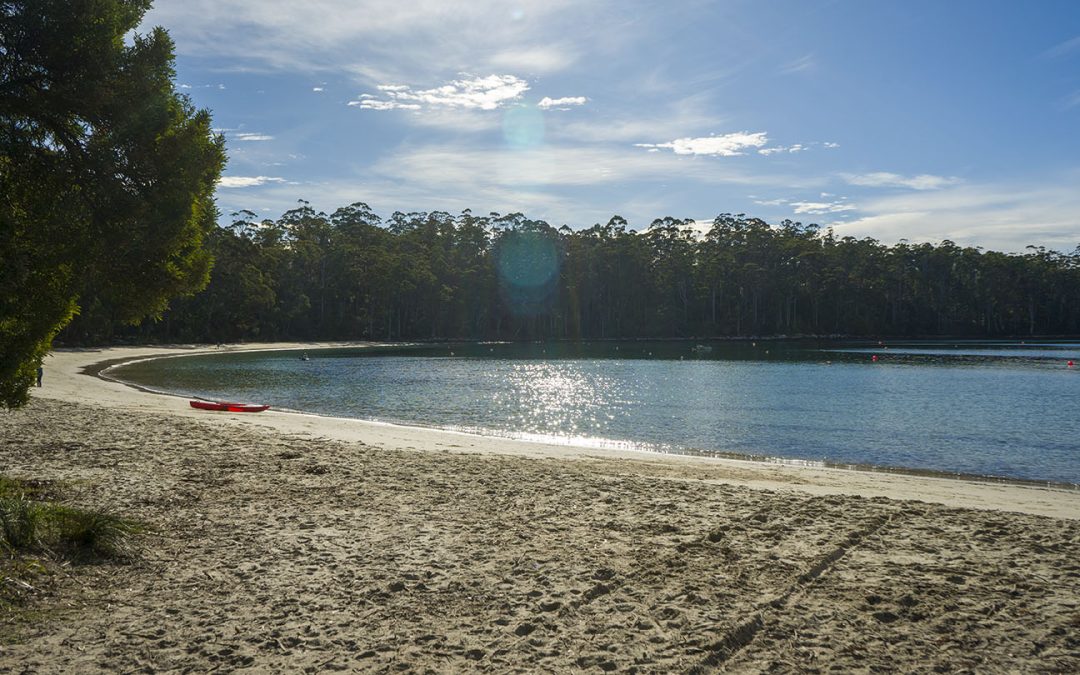
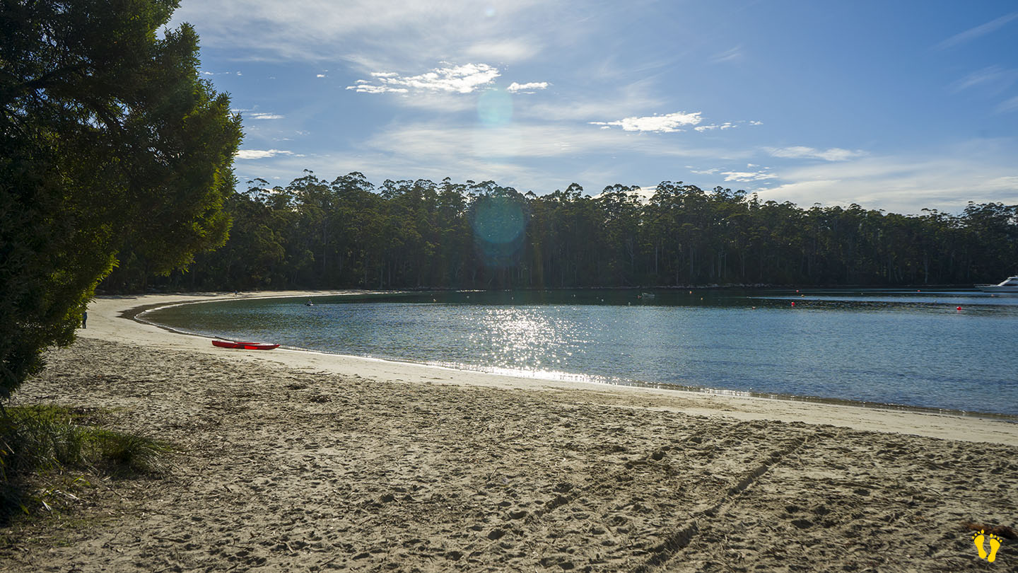
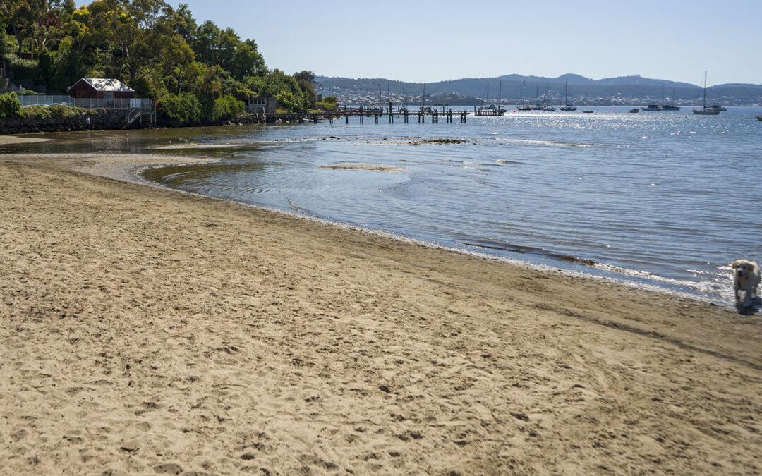
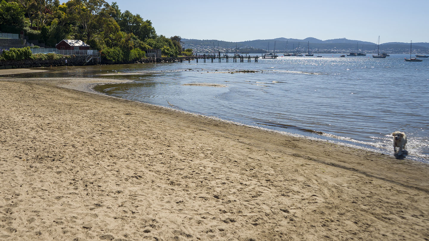
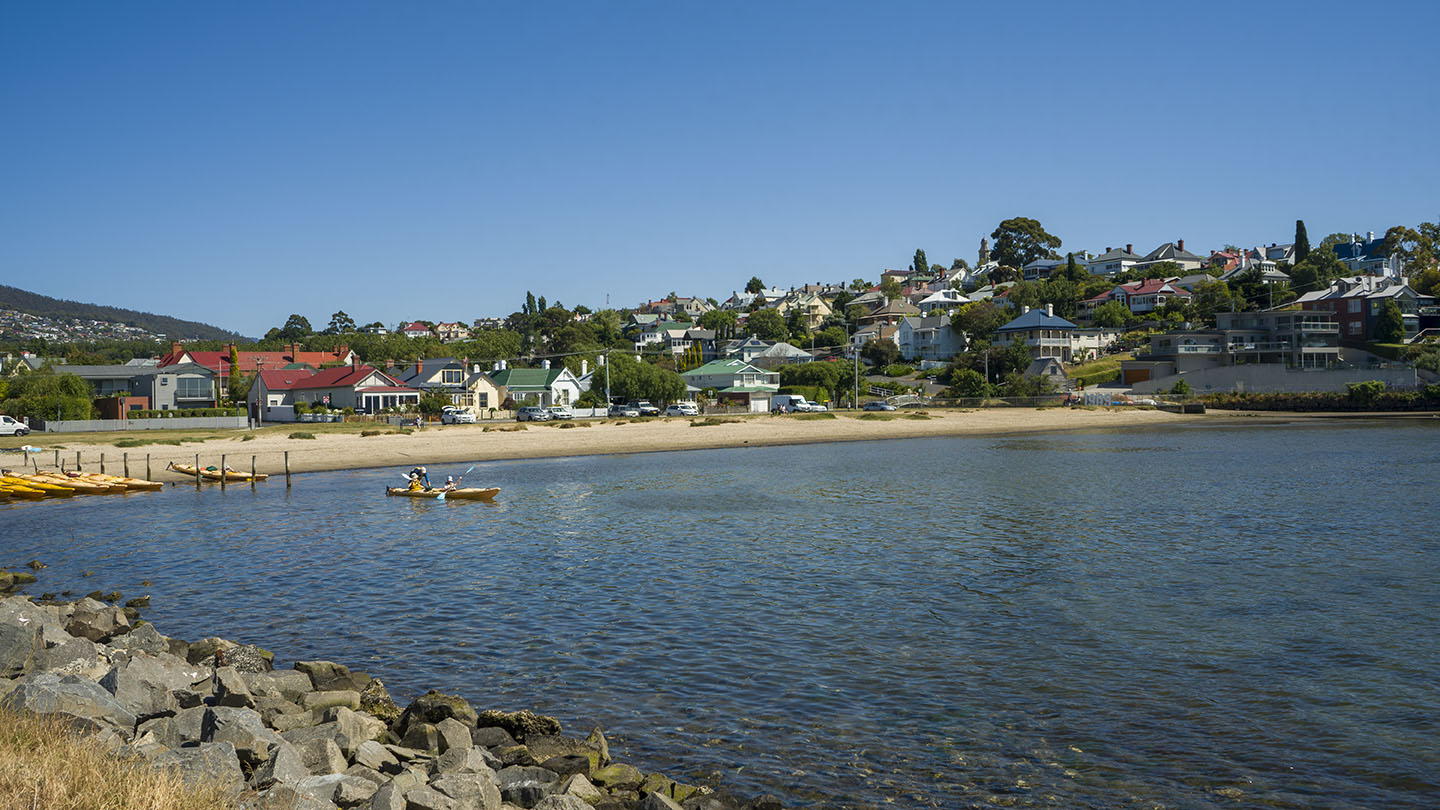
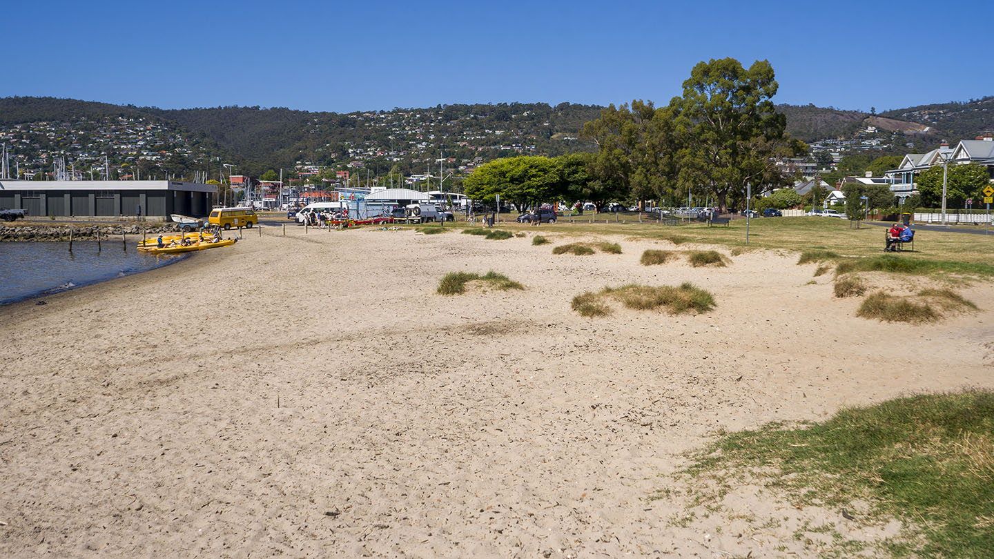
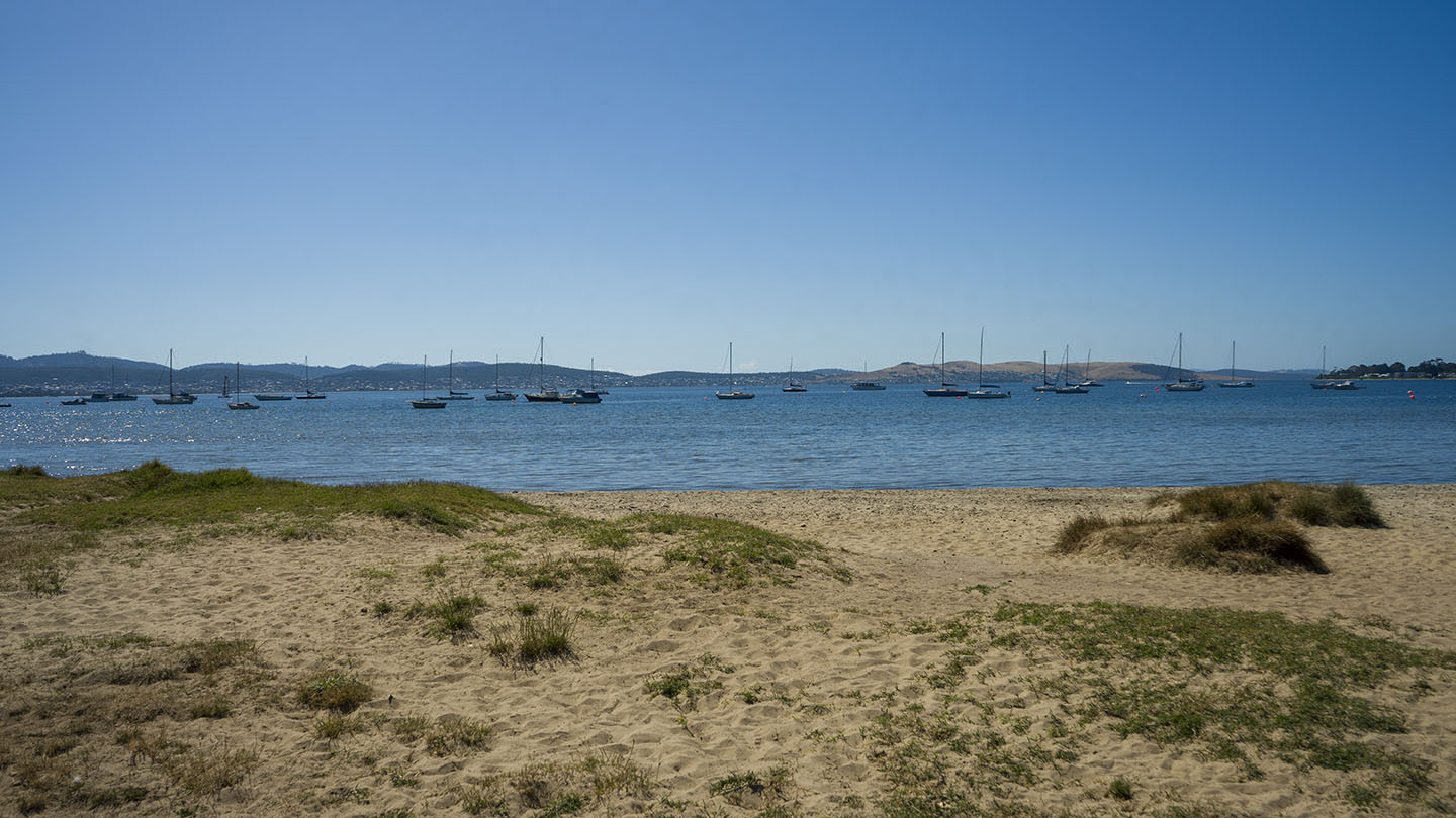
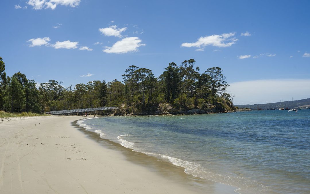
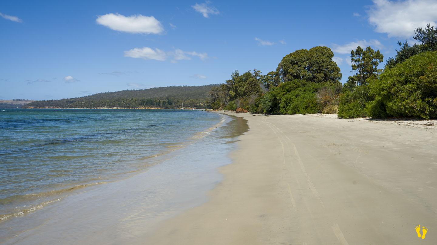
One of many ‘Shelly’ beaches in Tasmania. Shelly Beach is on the east side of Opossum Bay, opposite Mitchells Beach on the west. Access via Driftwood and Bangor Roads, ignore the sign saying no access to ‘Arm End’, this does not apply to the beach. Good parking at the beach but no facilities.
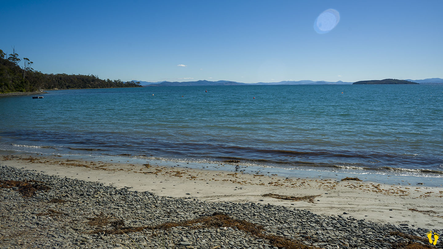
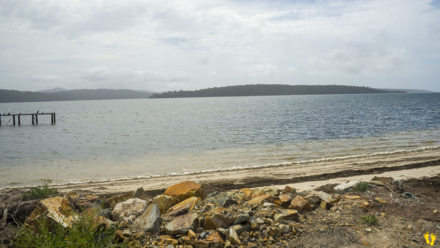
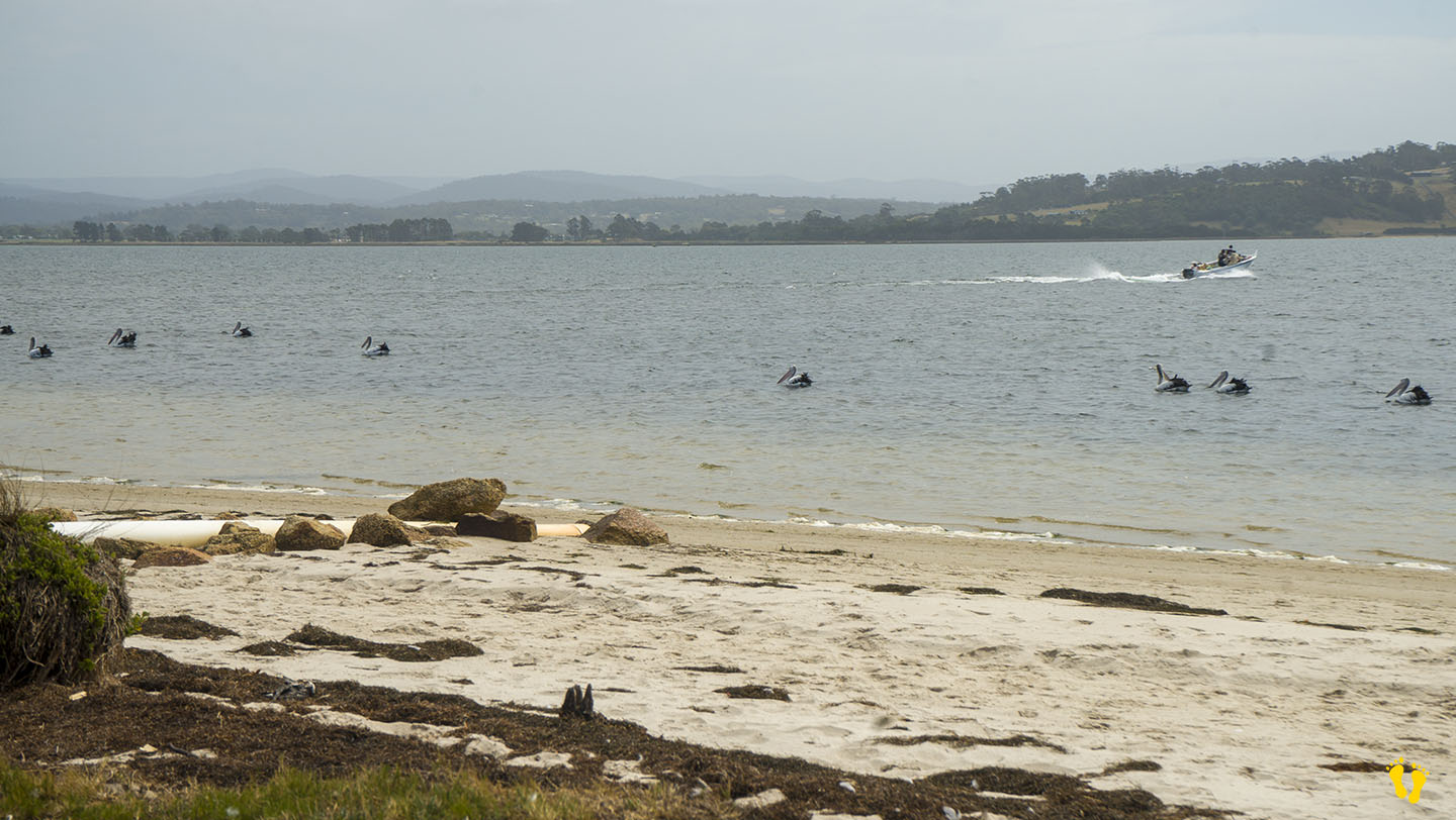
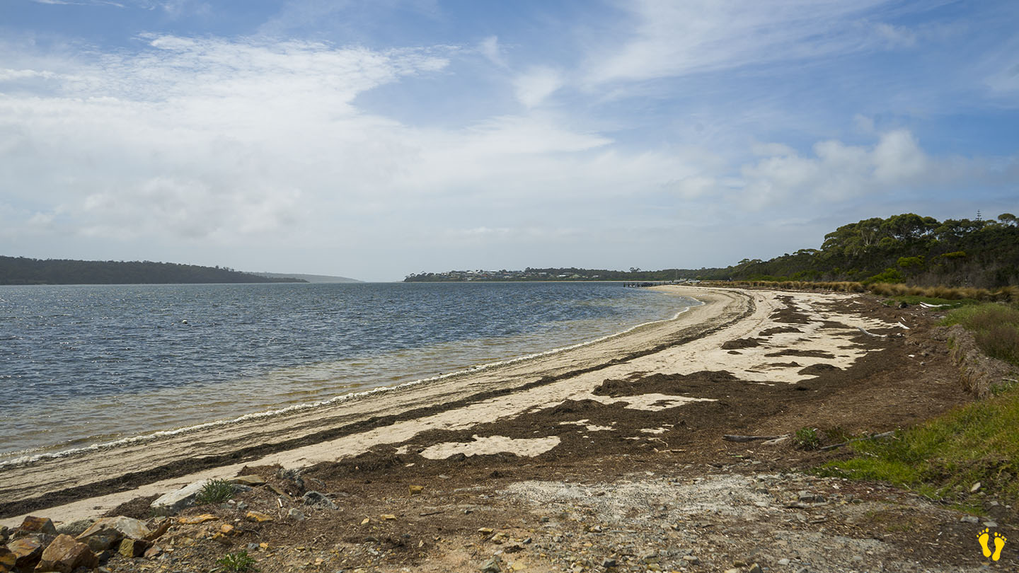
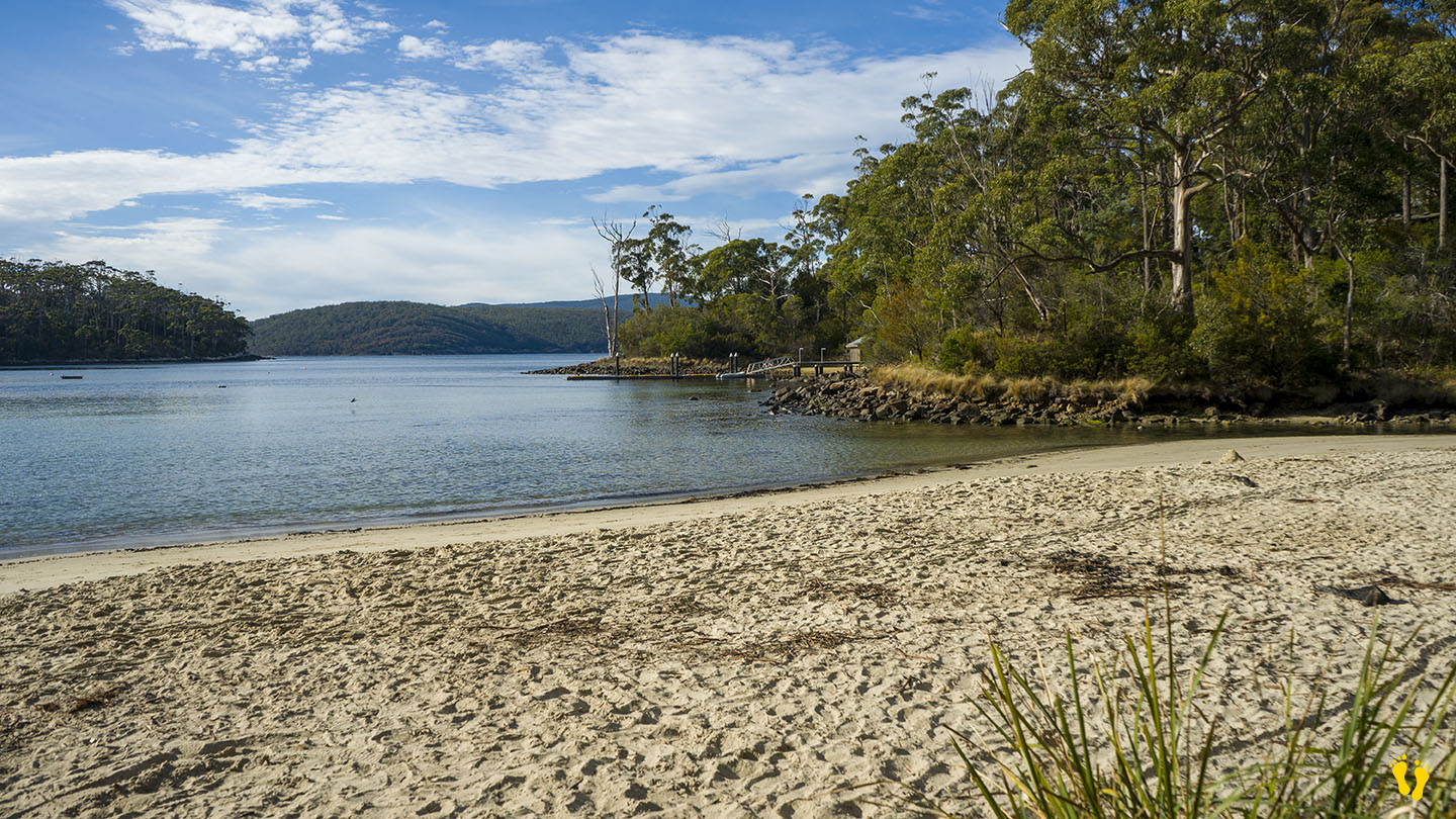
Well protected and not very well known. A tidal shallow beach with rocky outcrops, birdlife and of course… lots of shells (and seaweed), interesting to explore.
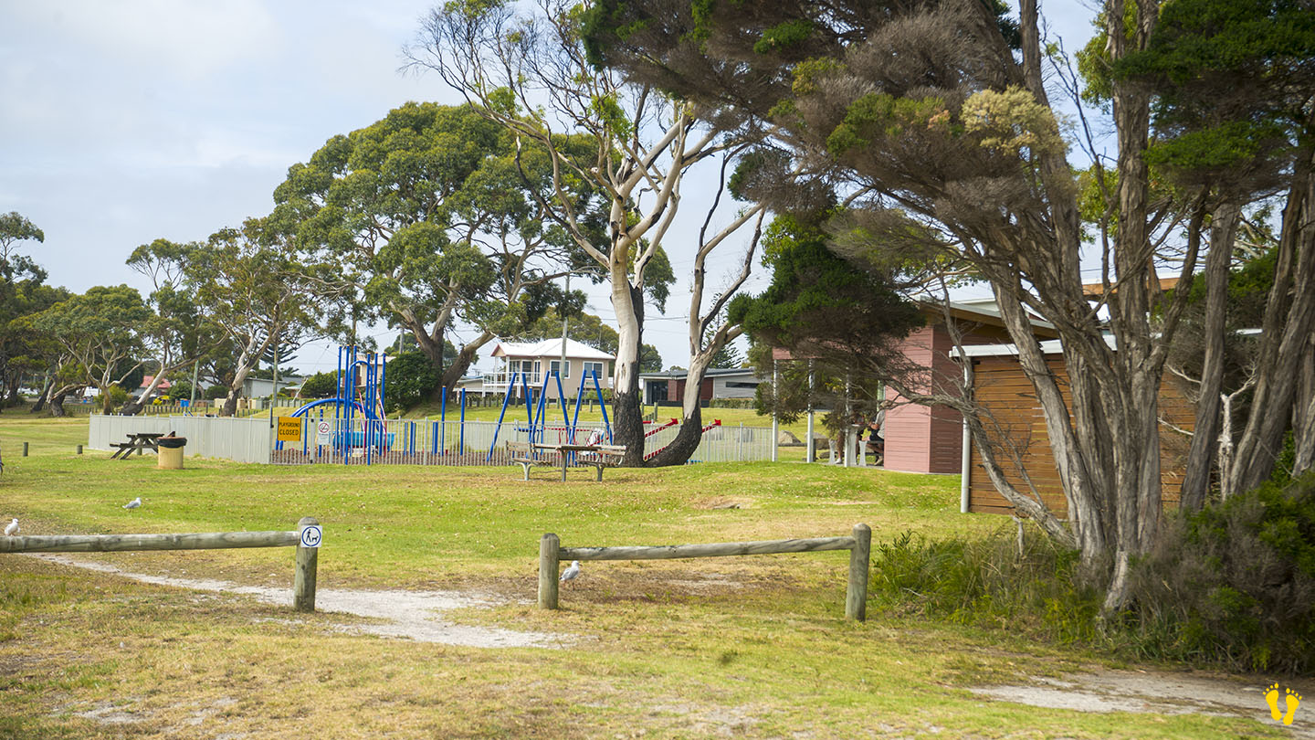
Dog-friendly and ideal for a long walk along a secluded beach. Also has a shore-based boat ramp.
This is a TasBeach review of Shelly Beach Opossum Bay – you can contact us at contact@tasbeach.com.au.
If this page was helpful, please give us a thumbs up.
Hazard Rating: 2/10 | Parking: Good & close | from Hobart: 105 km | Faces: West into Crooked Billet Bay | Length: 3.5 km
Original Name: Turrakana, the homeland of the Pydairrerme (Tasman Peninsula’s Aboriginal people)
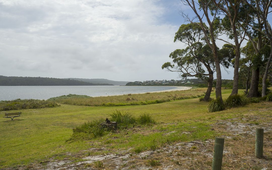
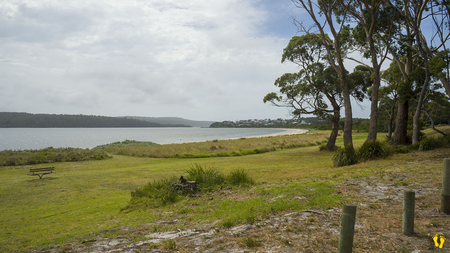
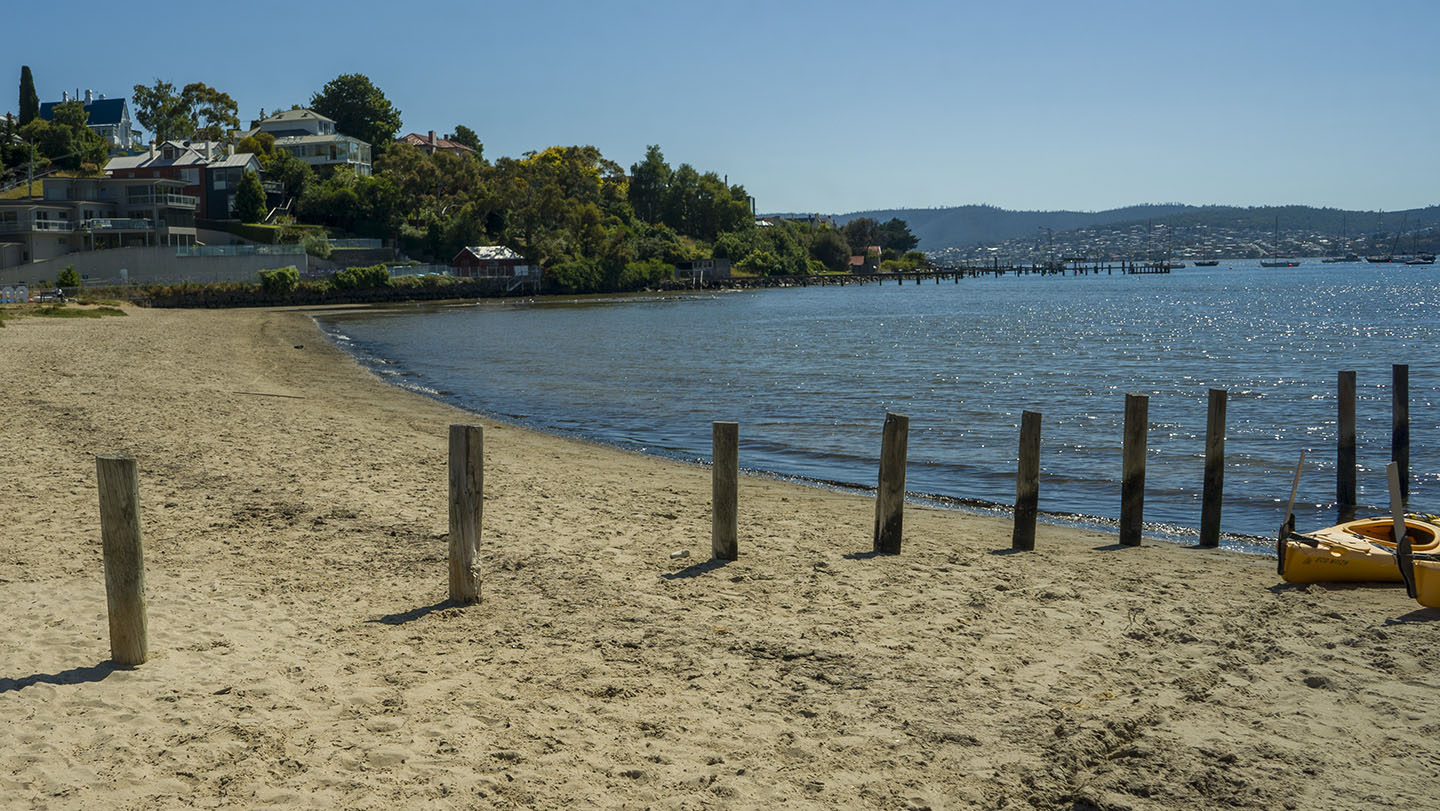
A beautiful sweeping beach facing west, ideal for kids due to its protection from the weather. Several entry points along its shore.
Nearby interesting areas to explore such as the coal mines and other historical sites. To get there – turn off at Premaydena, up Saltwater River Road and turn left at Gwandalan Road (about 10 km). The last part is on a good dirt road.
Named after the island to the northwest – Sloping Island (which has a sloping profile), it is also known as Slopen – the name of a farmer Joshua Slopen who had a farm in the area – as both names sound the same in Aussie vernacular no one can tell the difference – so who cares!
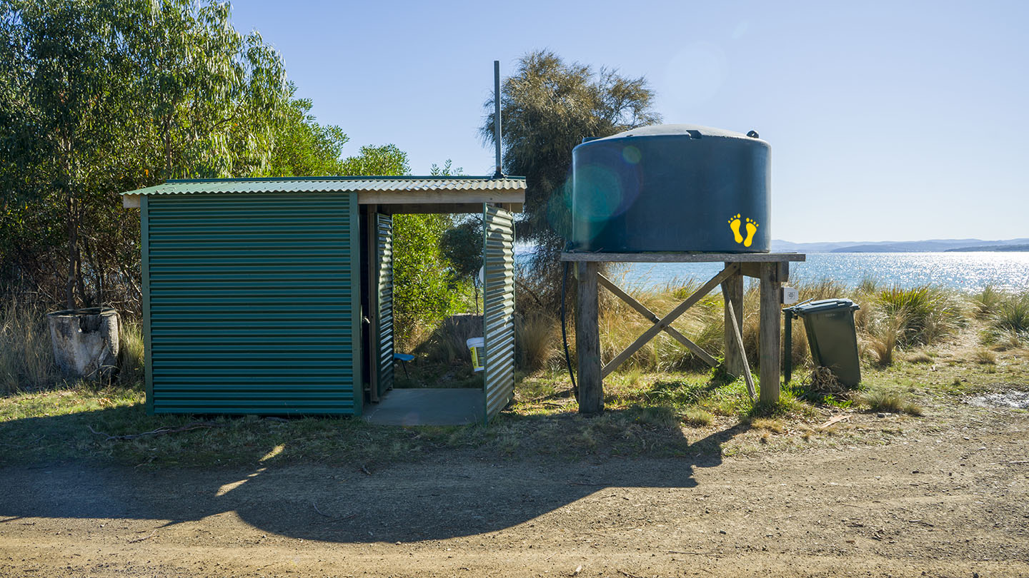
Often has great sunsets and there is camping at nearby Lime Bay. Also referred to Nettie Beach on Google Maps? Toilets at the south end.
Hazard Rating: 1/10 | Parking: Good + close | from Hobart: 90 km | Faces: Southeast-ish into Ladies Bay | Length: 500 m
Original Name: Turrakana, the homeland of the Pydairrerme (Tasman Peninsula’s Aboriginal people)
Stewarts Bay is located near Port Arthur between Garden and Fryingpan points. Well-protected, the beach is ideal for families and kids.
A must-visit if you are in the area, not usually too busy with great views. My friend Christine grew up here and describes it as a positive and pivotal part of growing up in the area. Alberry Creek enters into the bay for a safe paddling area. Access to the beach to launch small boats and kayaks, etc.
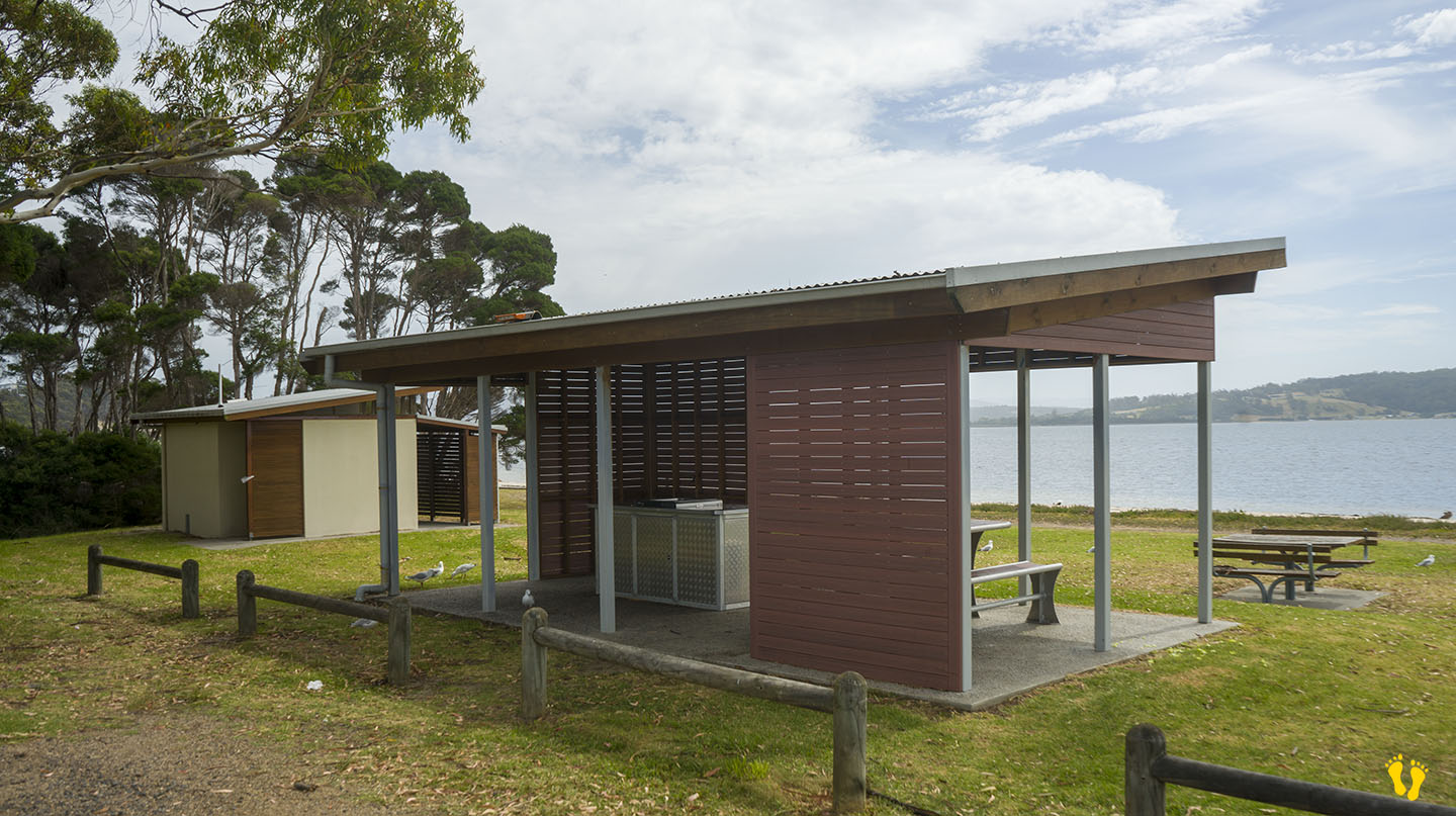
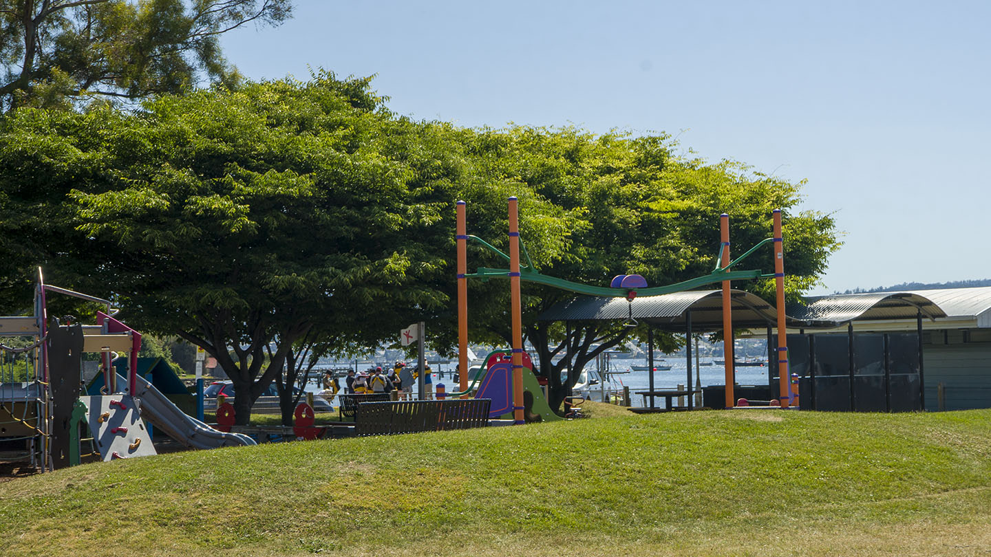
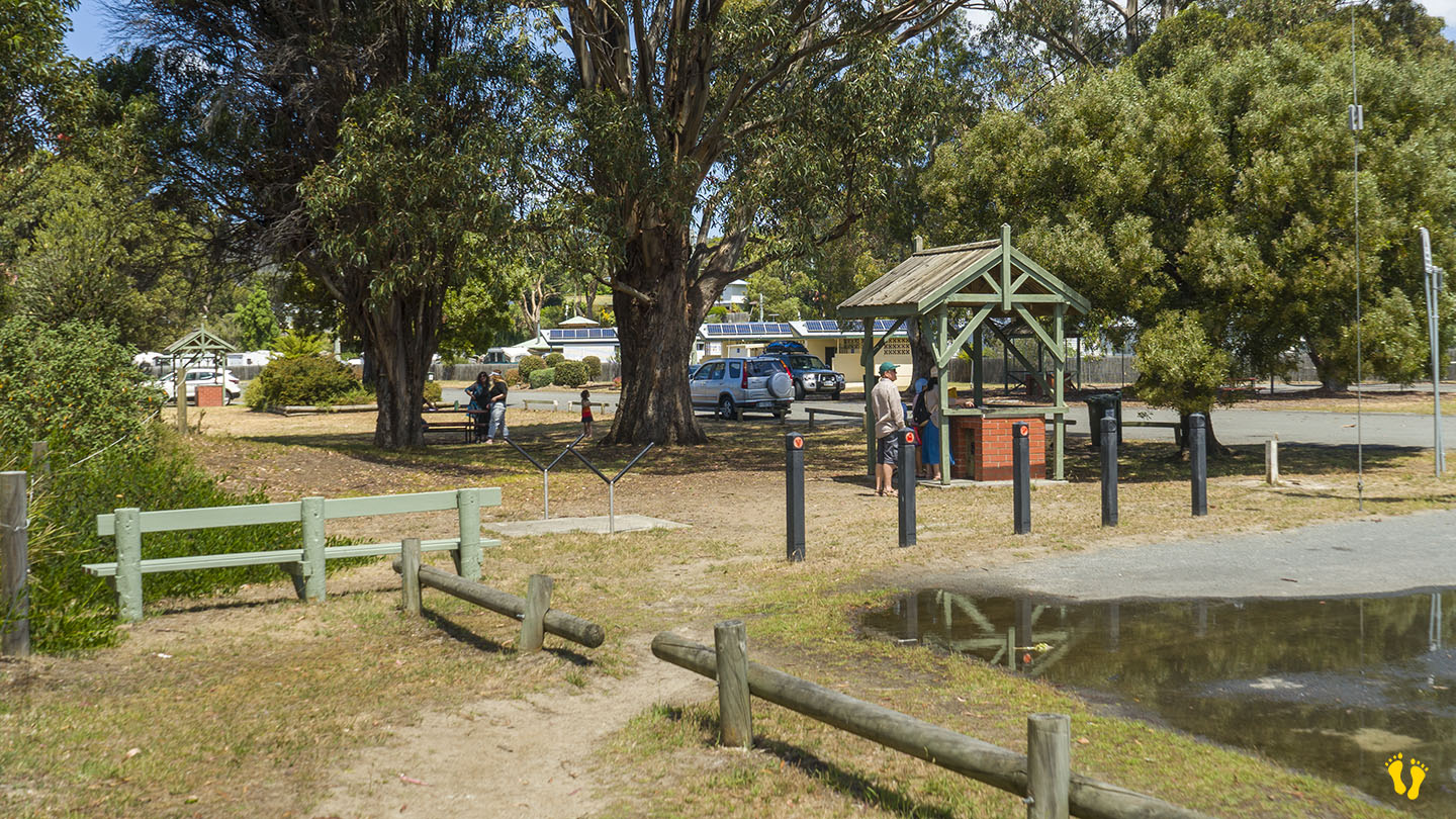
There is a park area for a picnic with nearby toilets.