by Mickey Jarvis | Feb 5, 2023 | Dodges / Carlton, Low Hazard, South East
Near Dodges Ferry | Hazard Rating: Low | Parking: Varied | from Hobart: 24 km | Length: 2 km | Faces: West into Tiger Head Bay
A protected beach in Dodges Ferry. The south end is great for kids to explore magical rock pools containing all sorts of sea life. Often has lots of birdlife.
Interesting rock formations and a shallow beach make it great to learn snorkeling. I have spent many hours with my children exploring the beach and rocks.
Named after Ernest Okines who leased the property in 1923 and purchased it in 1942. Views of Seven Mile Beach often with spectacular sunsets.
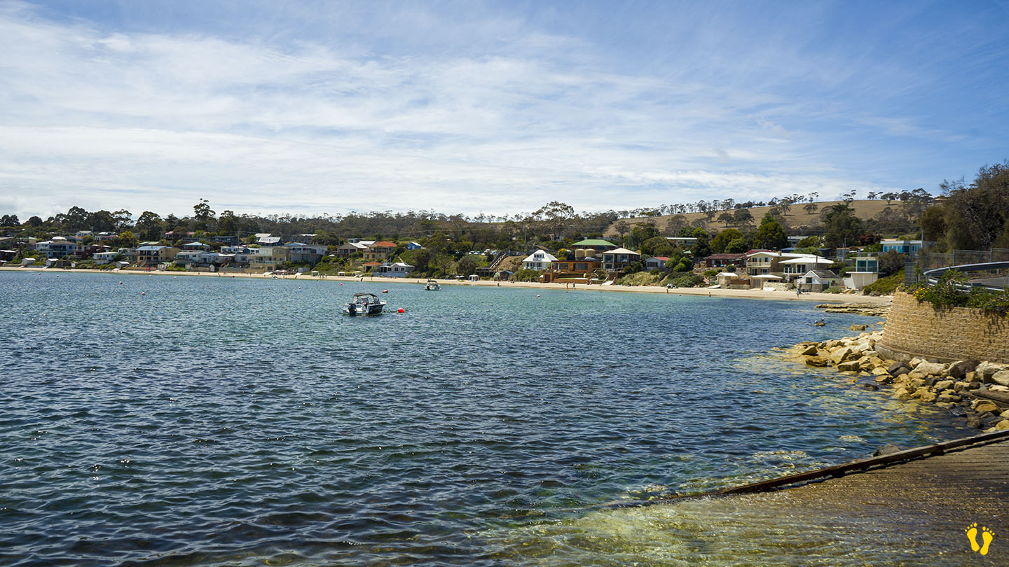
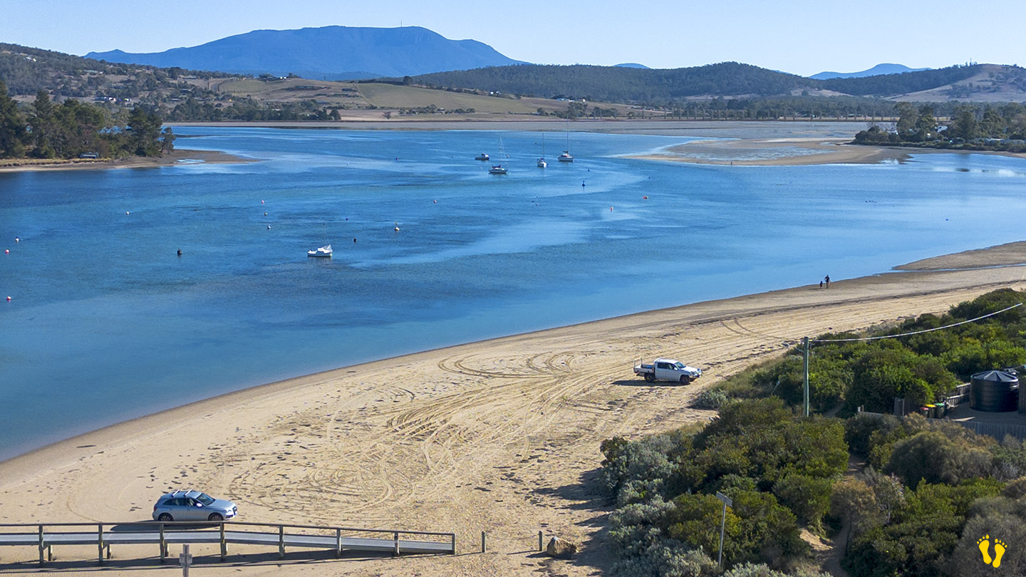
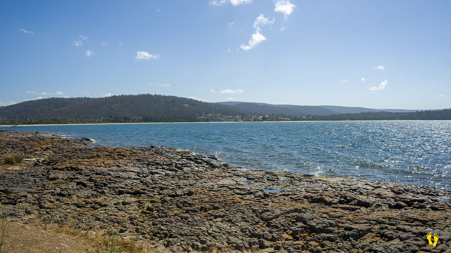
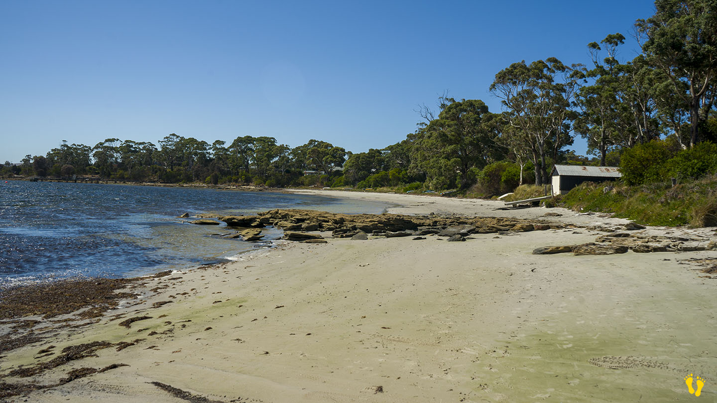
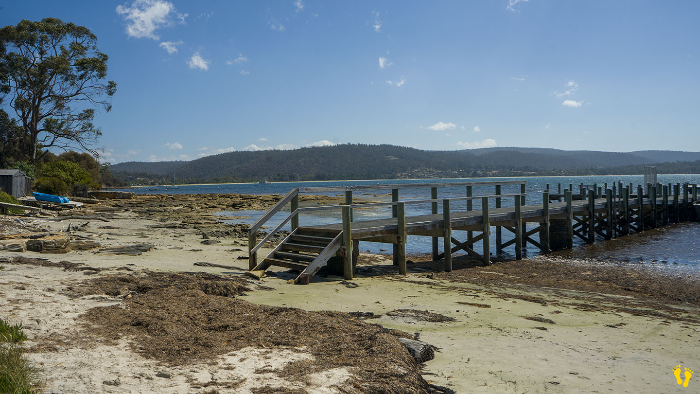
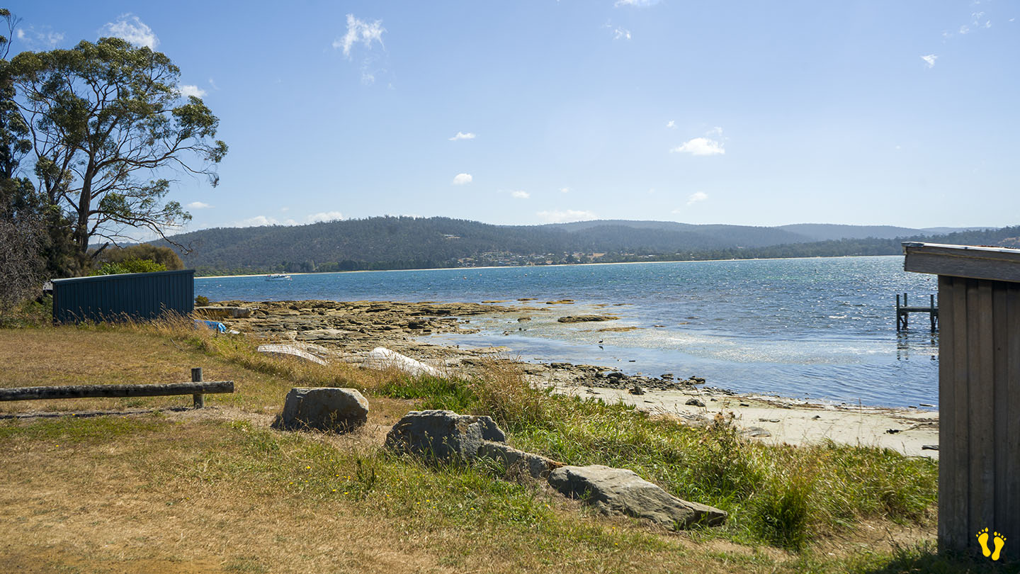
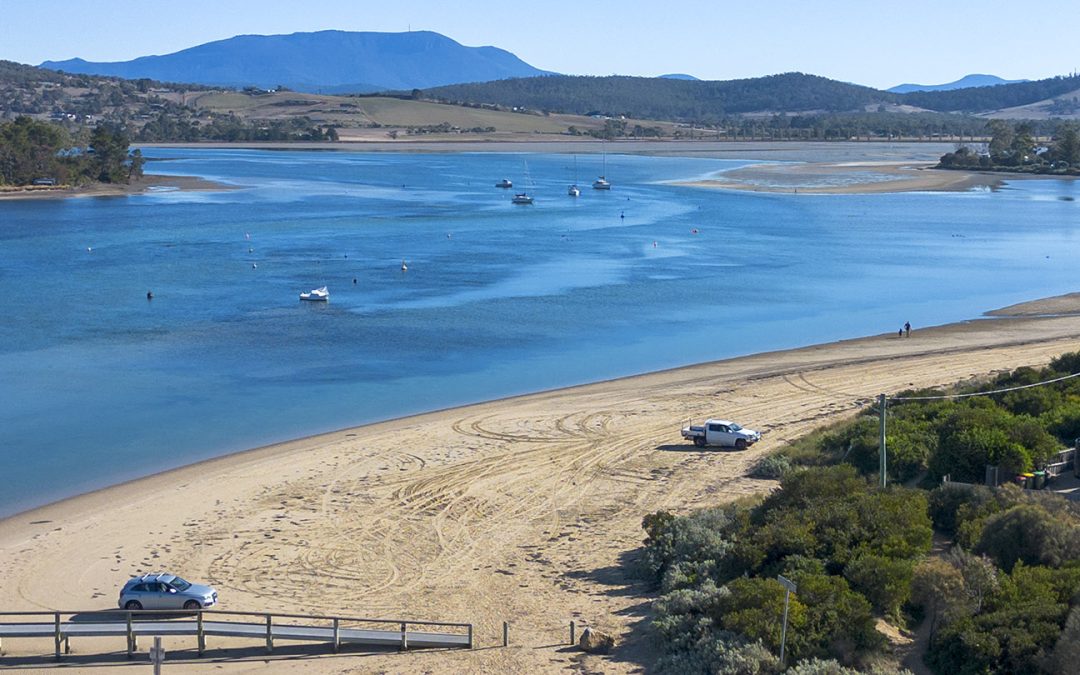
by Mickey Jarvis | Dec 28, 2023 | Low Hazard, South Arm Road, South East
Hazard Rating: 2/10 | Parking: Varied | from Hobart: 49 km | Faces: West into the River Derwent | Length: 1 km
Original people: Moomairemener, believed to be members of the Paredarerme (Oyster Bay tribe)
Situated towards the end of South Arm road this is a picturesque well protected beach great for kids. Okay access with shops nearby.
Good boat ramp with jetty for swimming, jumping and fishing.
Named after the American sloop ‘Opossum’ which was chartered by the government under Harbour-Master Capt. John Welsh to conduct numerous surveys in the River Derwent and River Huon in 1827. Opossum if a North American marsupial a bit similar to our possum.
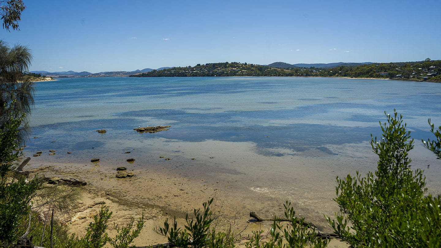
by Mickey Jarvis | Jan 10, 2023 | Low Hazard, South Arm Road
Hazard Rating: 1/10 | Parking: Varied | from Hobart: 27 km | Faces: West into Pipe Clay Lagoon
Original People: Moomairemener
Pipe Clay Lagoon is located on the back side of Cremorne Beach (Frederick Heny Bay) and is fed by a rivulet from the bay. A popular fishing spot with an interesting foreshore. I have often seen stingrays in the canal just looking up at me (they’re known for being inquisitive).
Well protected from the sea with a very gradual foreshore into a deeper canal. There is a jetty great for docking and the beach is used for launching boats.
Conditions change a lot depending on the tide. A very high tide makes it almost inaccessible, while a low tide makes it easy – (check tide here).
The low hazard rating assumes you do not enter the canal, as water can move very quickly at times.
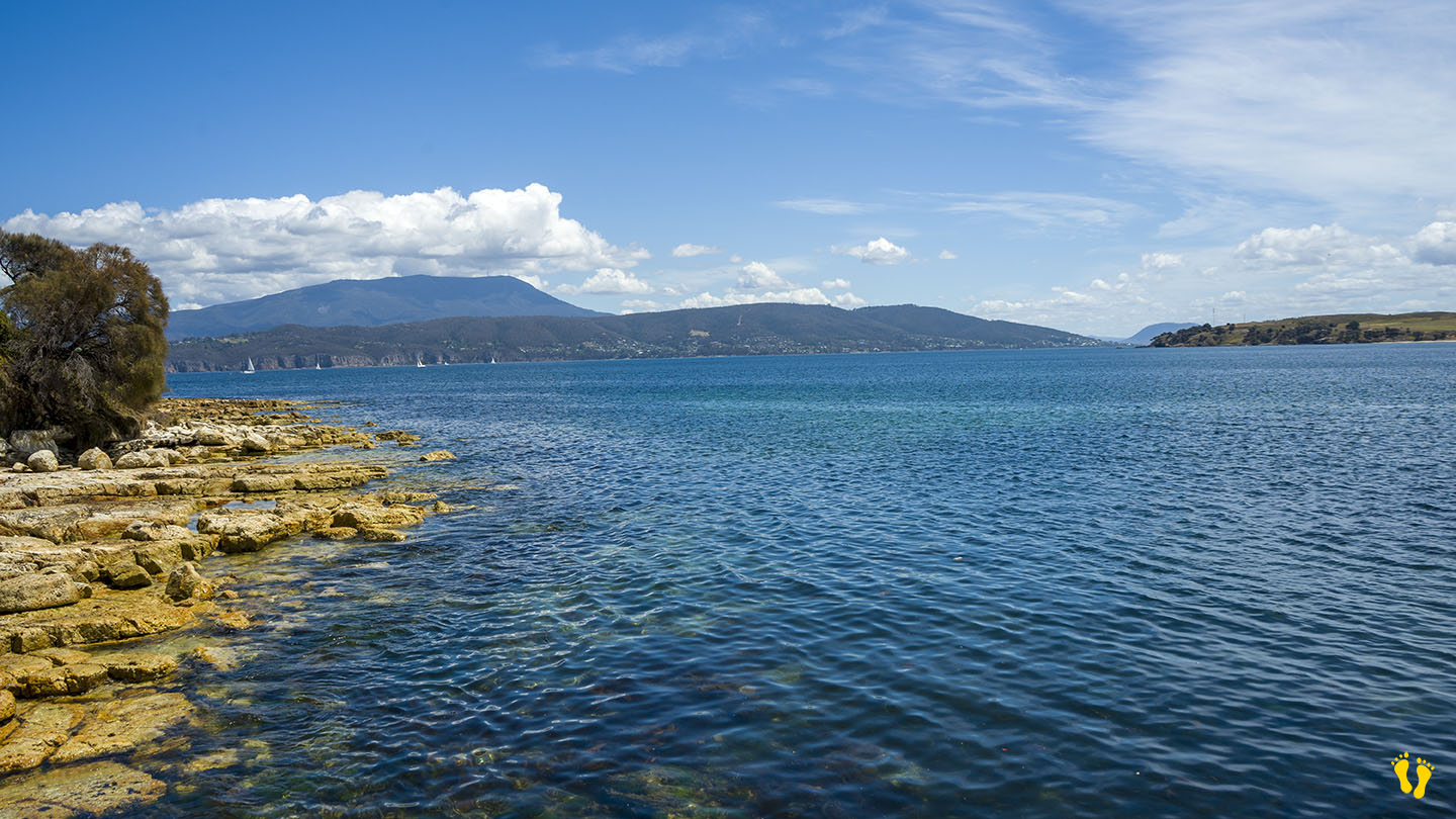
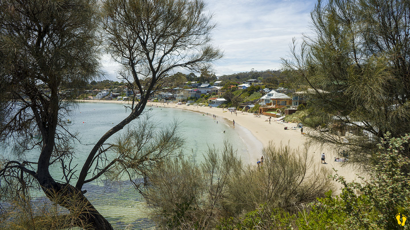
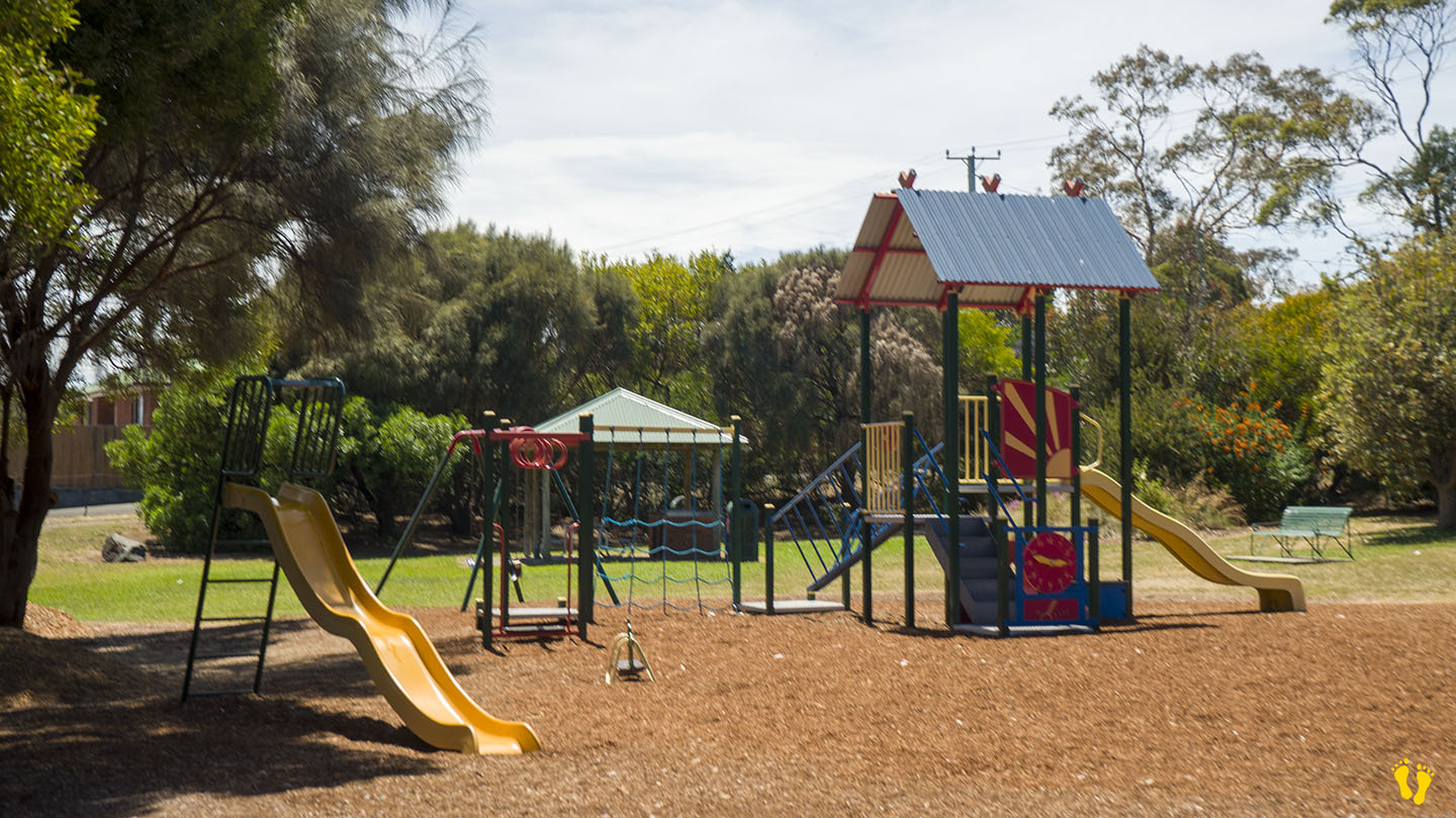
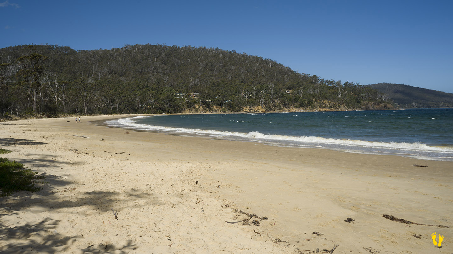
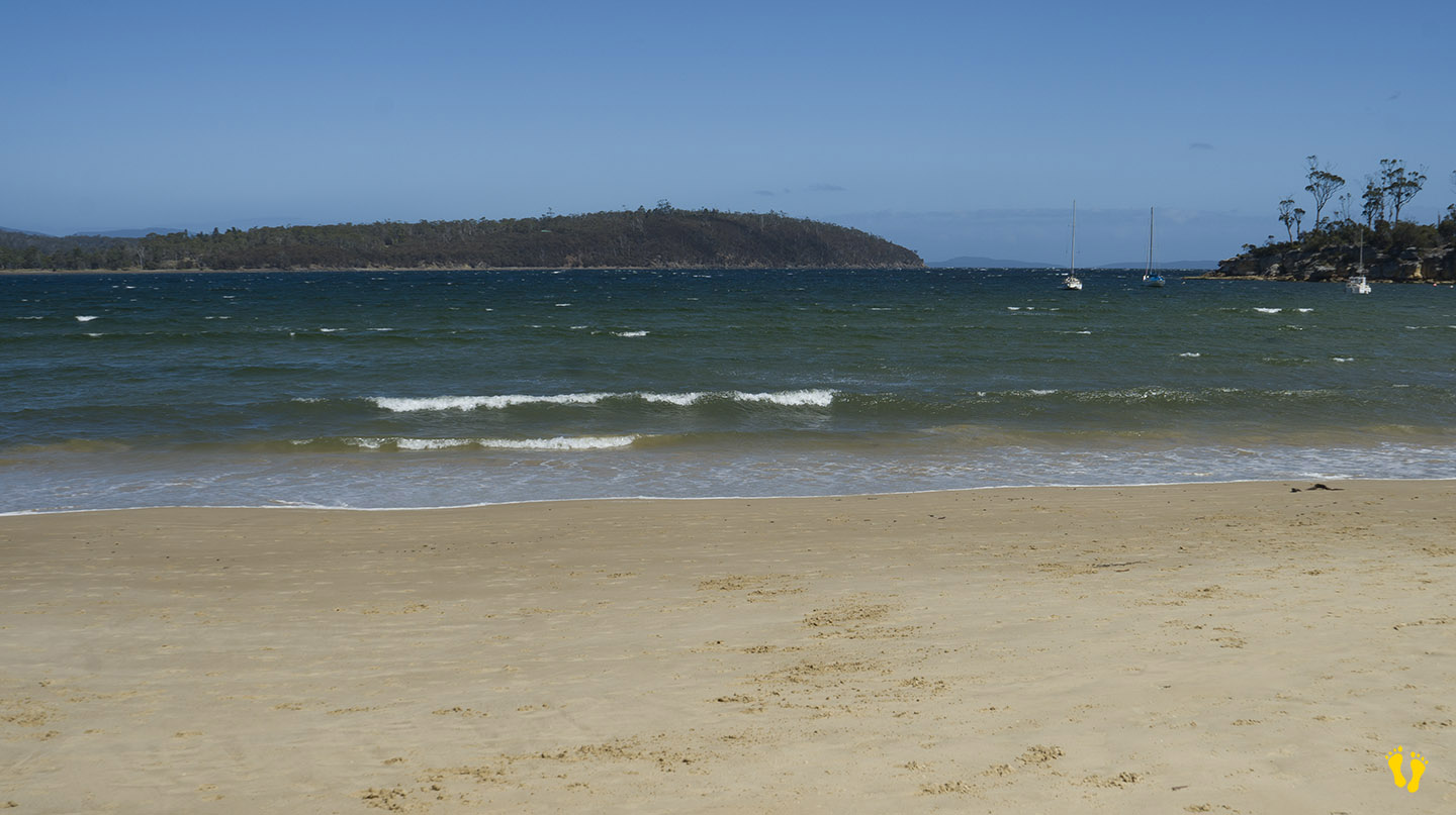
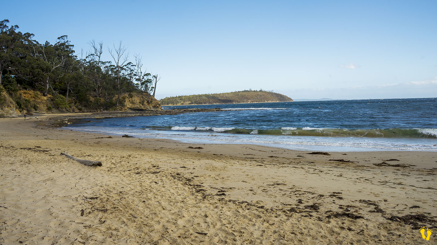
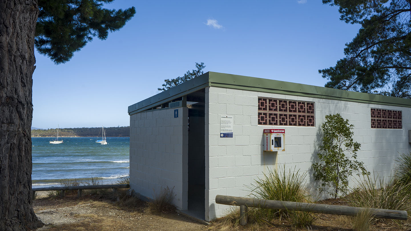
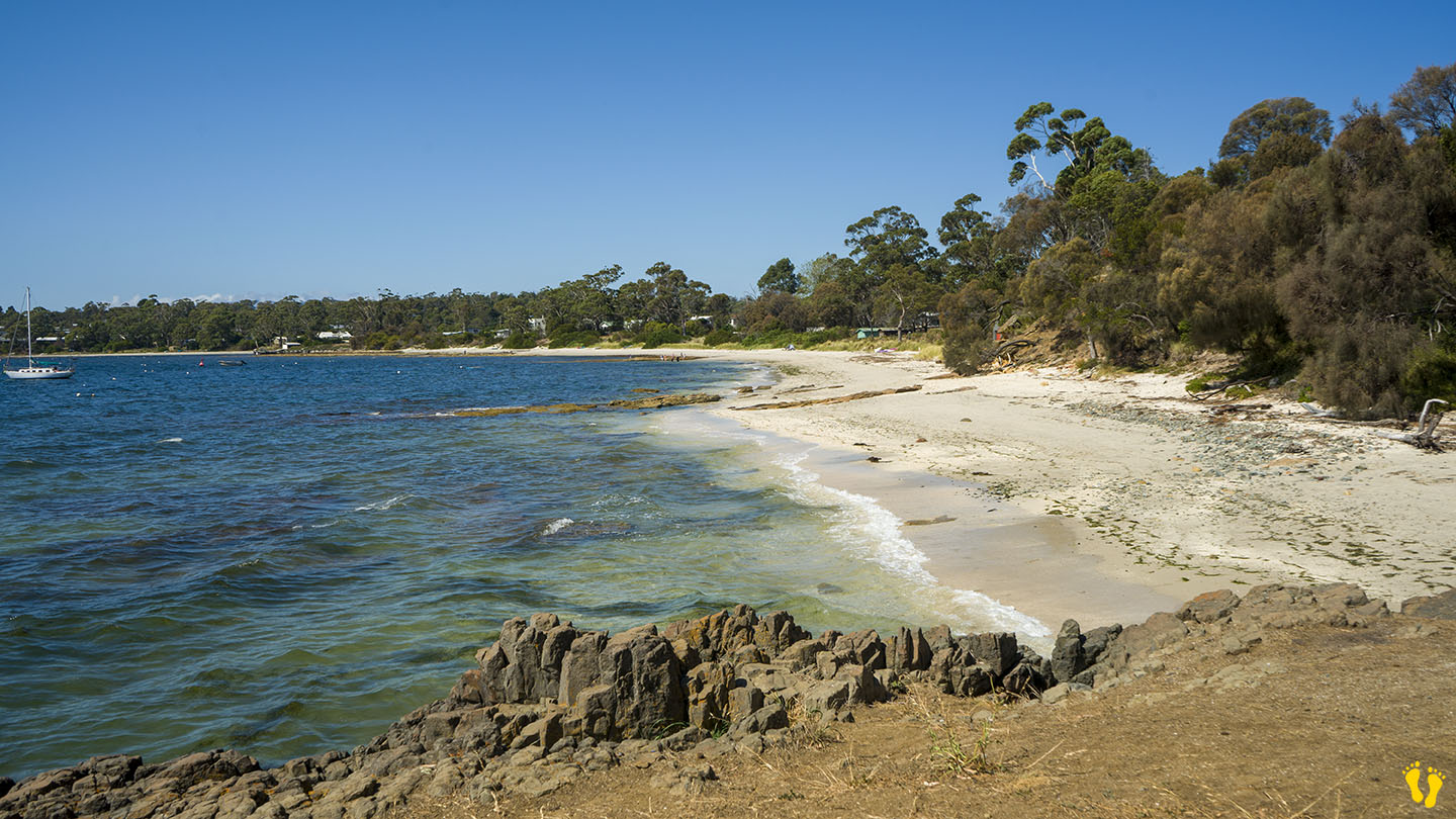
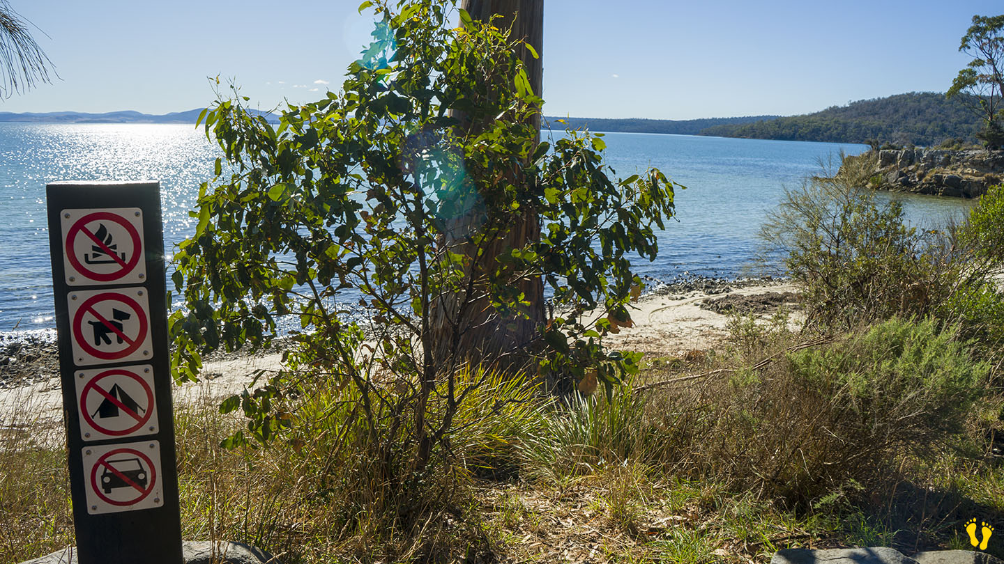
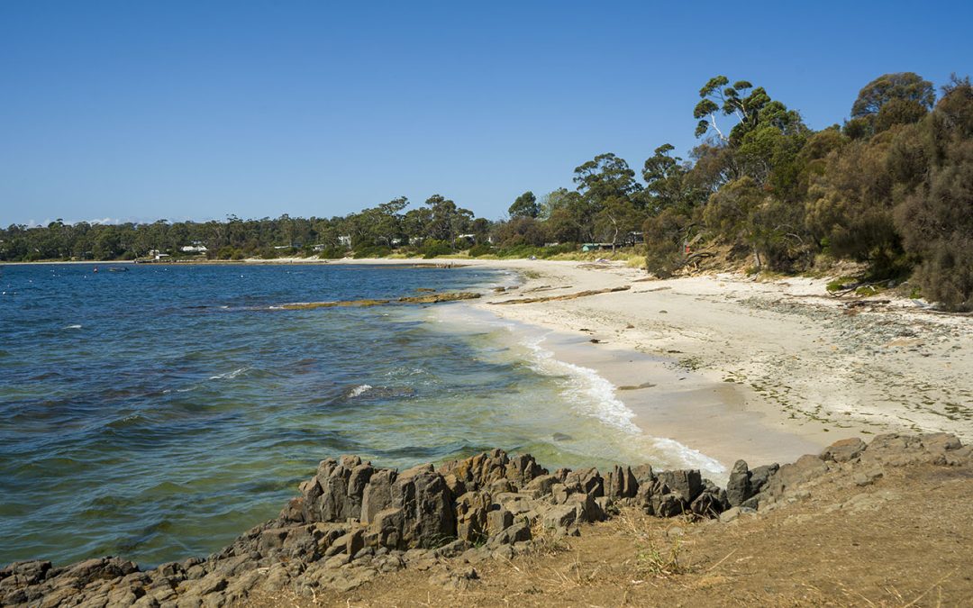
by Mickey Jarvis | Jan 23, 2024 | Channel, Low Hazard, South
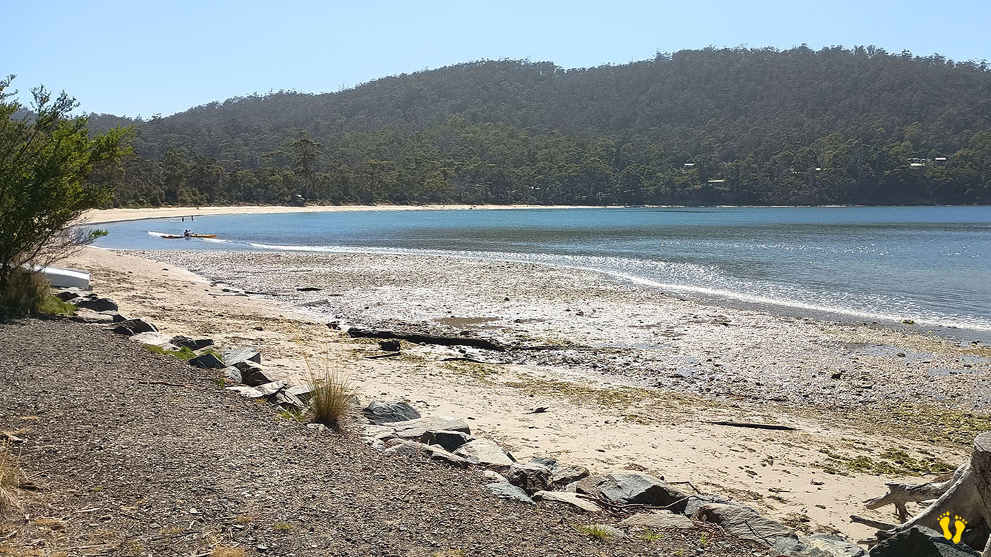
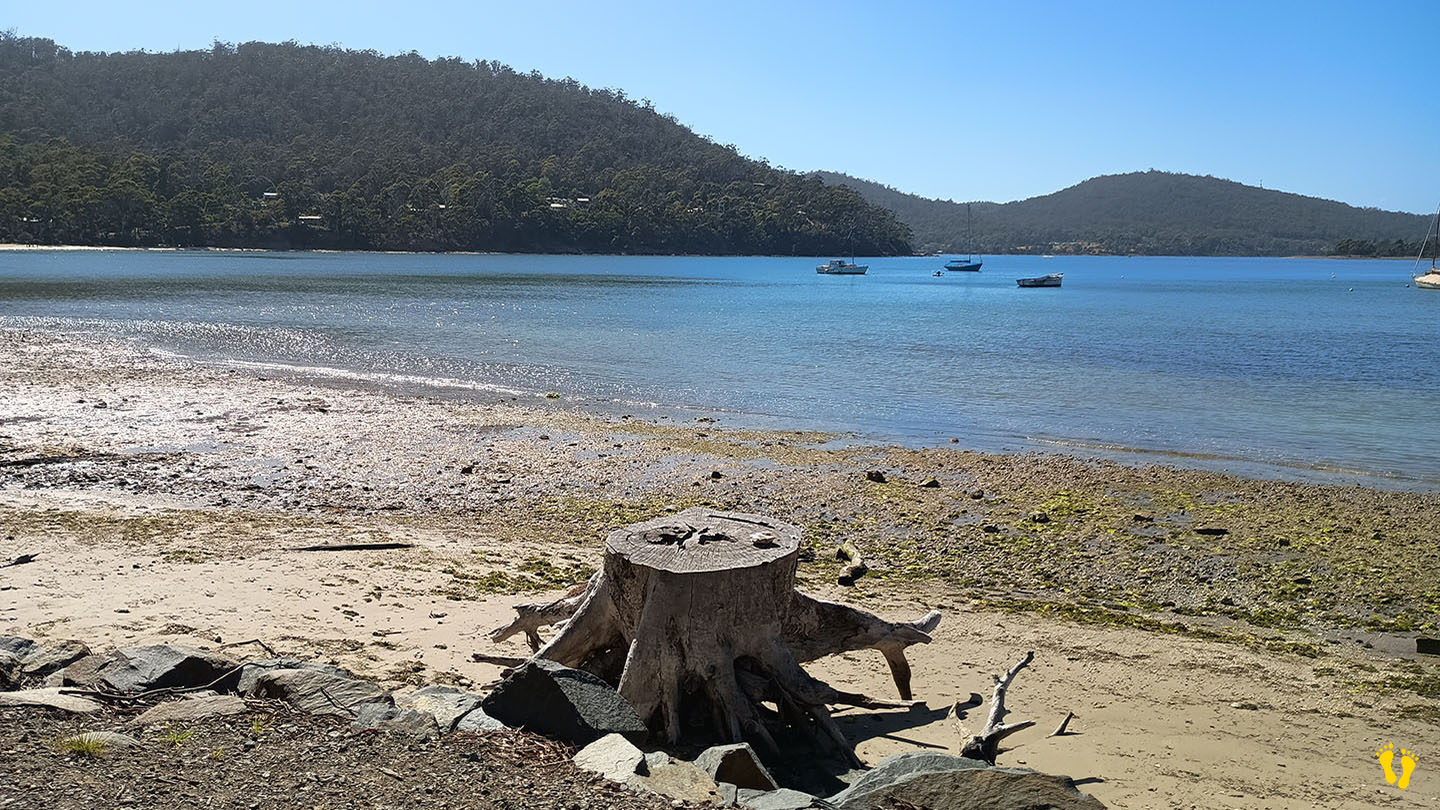
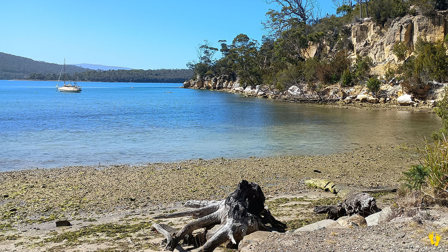
Channel Highway | Hazard Rating: Low | Parking: Good + close | from Hobart: 58 km | Faces: South into Huon River | Length: 600 m
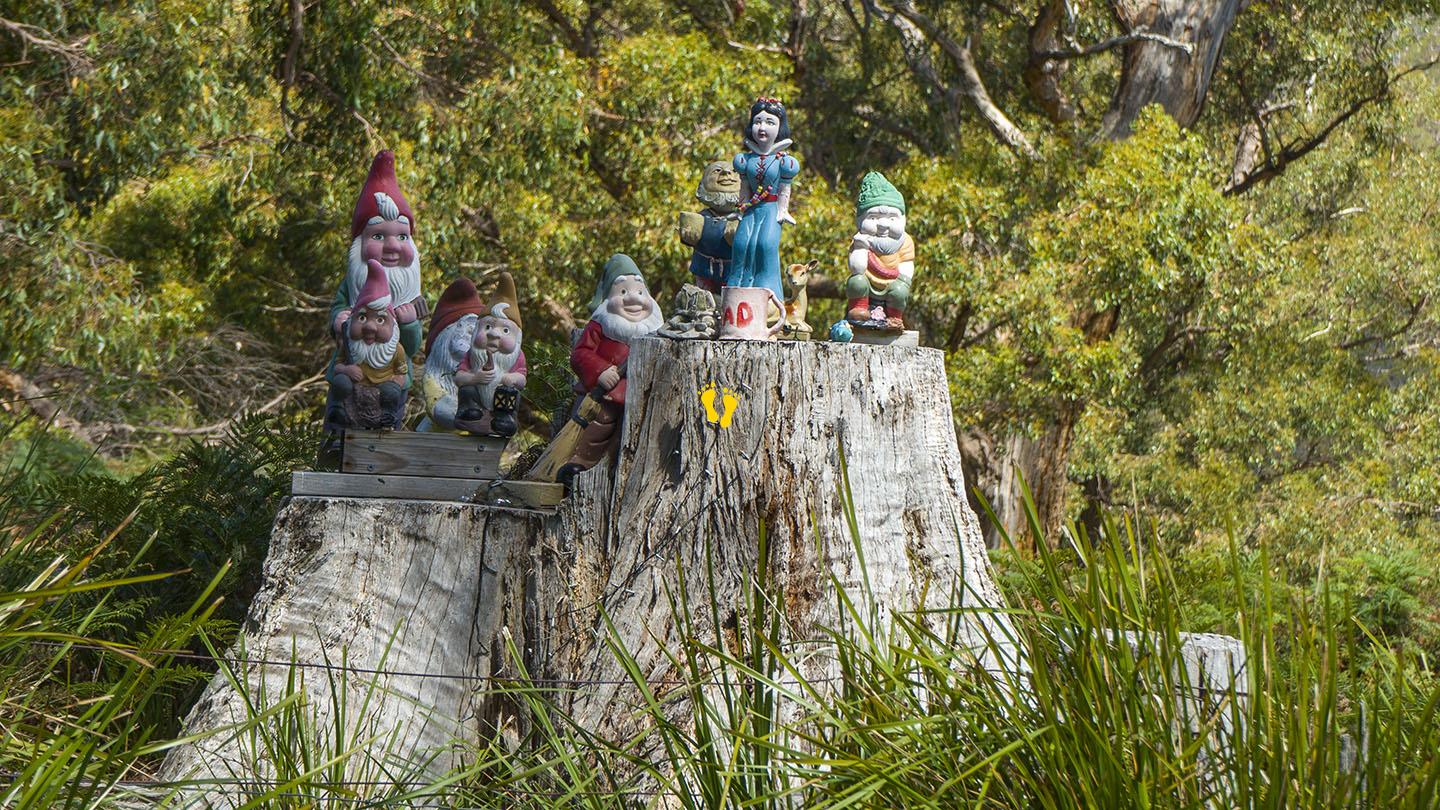
Situated between Verona Sands and Cygnet, turn off the Channel Highway onto Randalls Bay Road (or Abels Road), don’t forget to pay homage to the gnomes on the way in, otherwise you will have bad luck! Further accessed along Williams Road. A popular beach on sunny days – you may even see an ice cream van!
A long sandy beach generally calm bay as it is protected by Garden and Bruny Islands, may have wind chop depending on wind strength and direction.
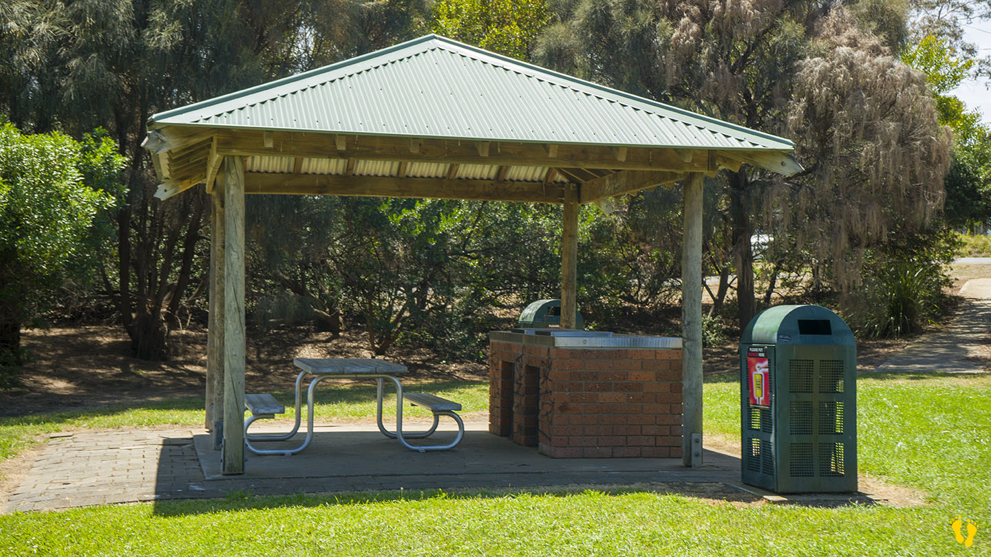
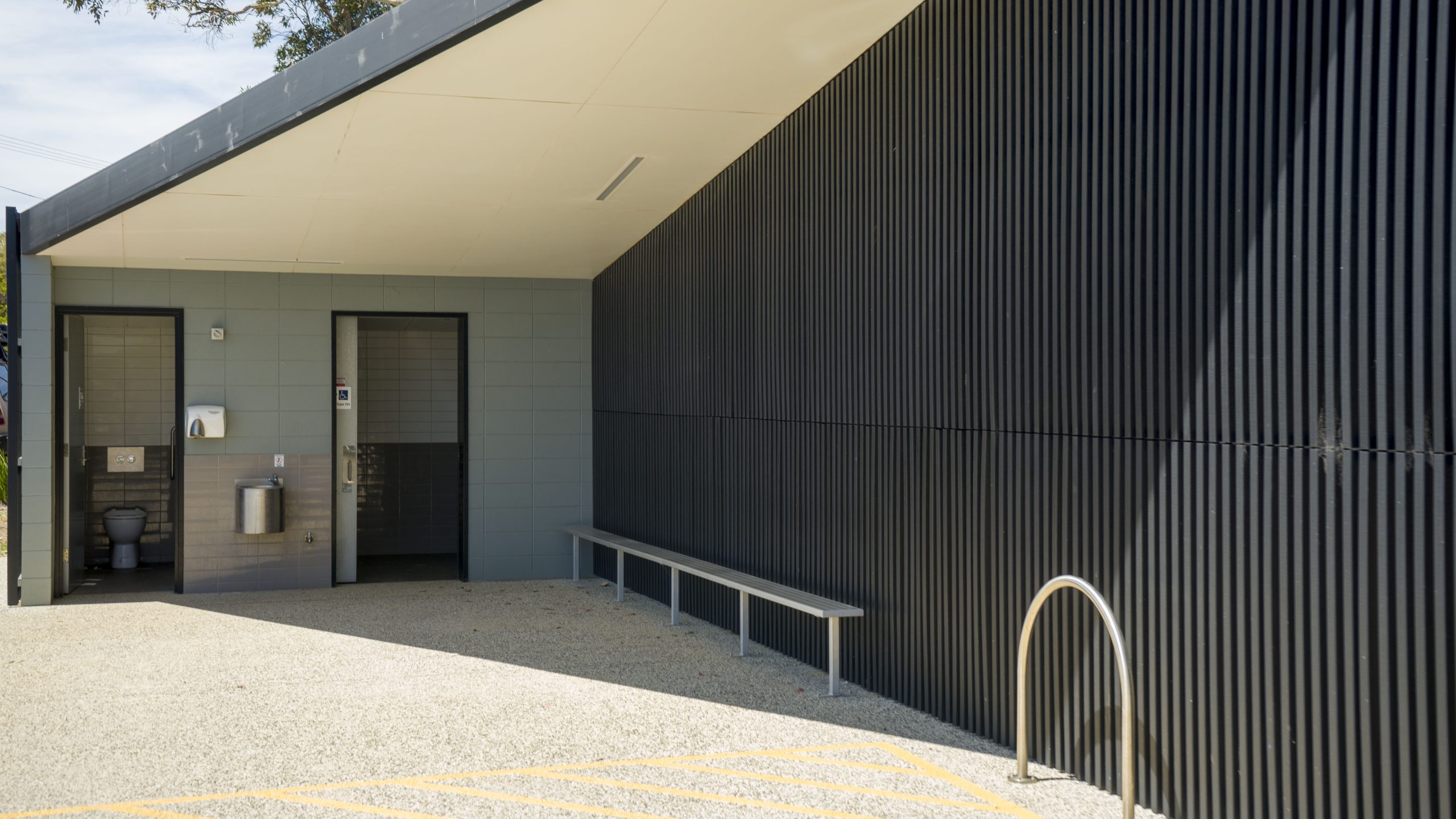
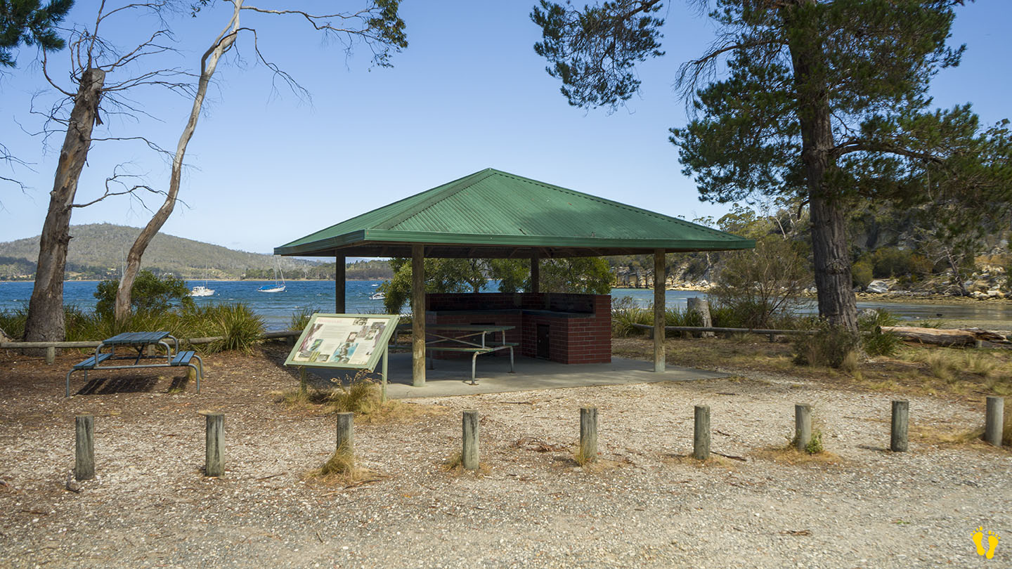
Great for kids to swim and kayak. There are toilets and a covered BBQ area.
The west end is also the start of the Mickeys Beach walking track. A basic 3km (return) track to a small hidden gem of a beach (I am not at all biased because they named it after me!). About a 1 hour return but you will want to stay and take in the beauty of Mickeys Beach and maybe have a swim. 500m into the walk, a short detour leads south to the tip of the coast with views of Cray Point, Garden Island, Bruny Island and the D’Entrecasteaux Channel.
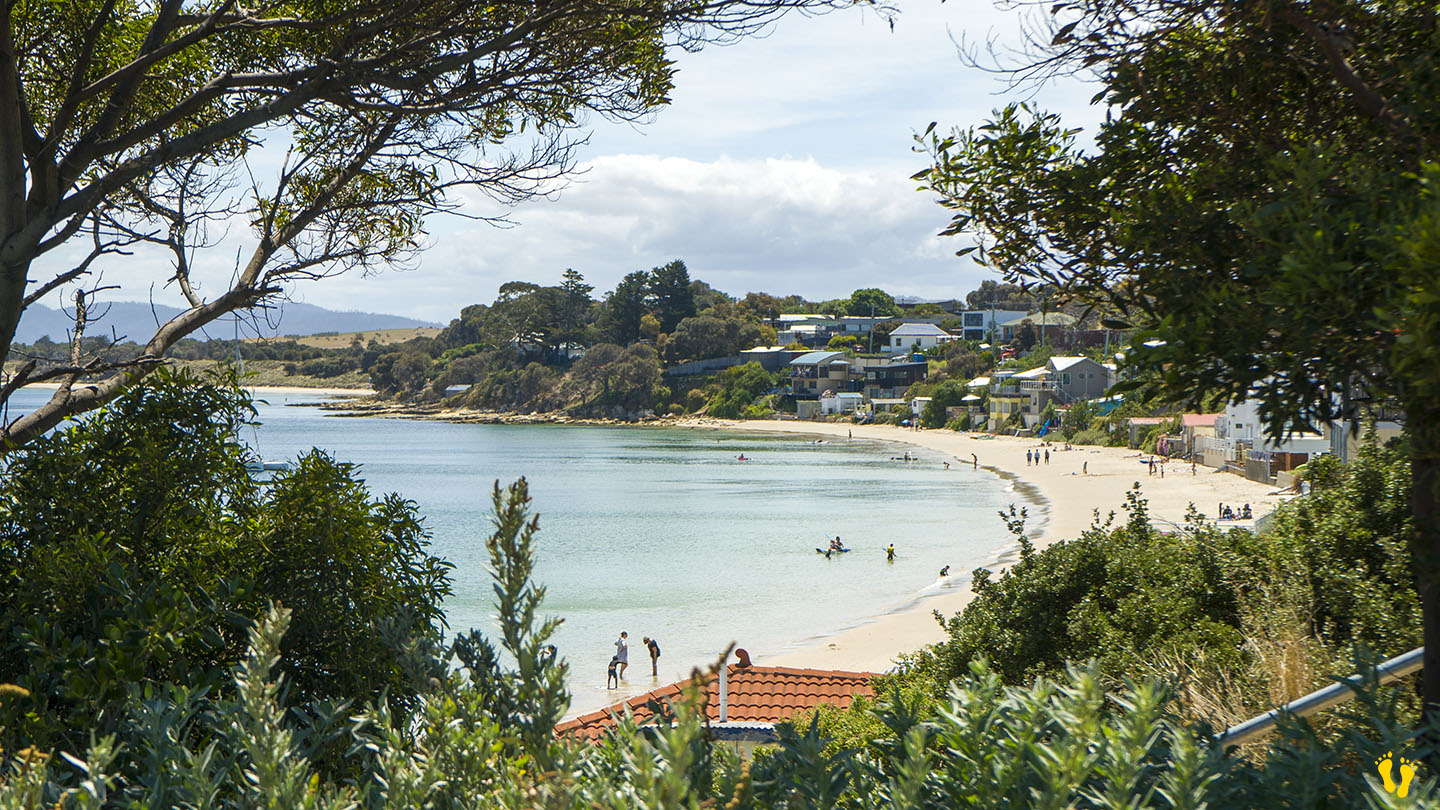
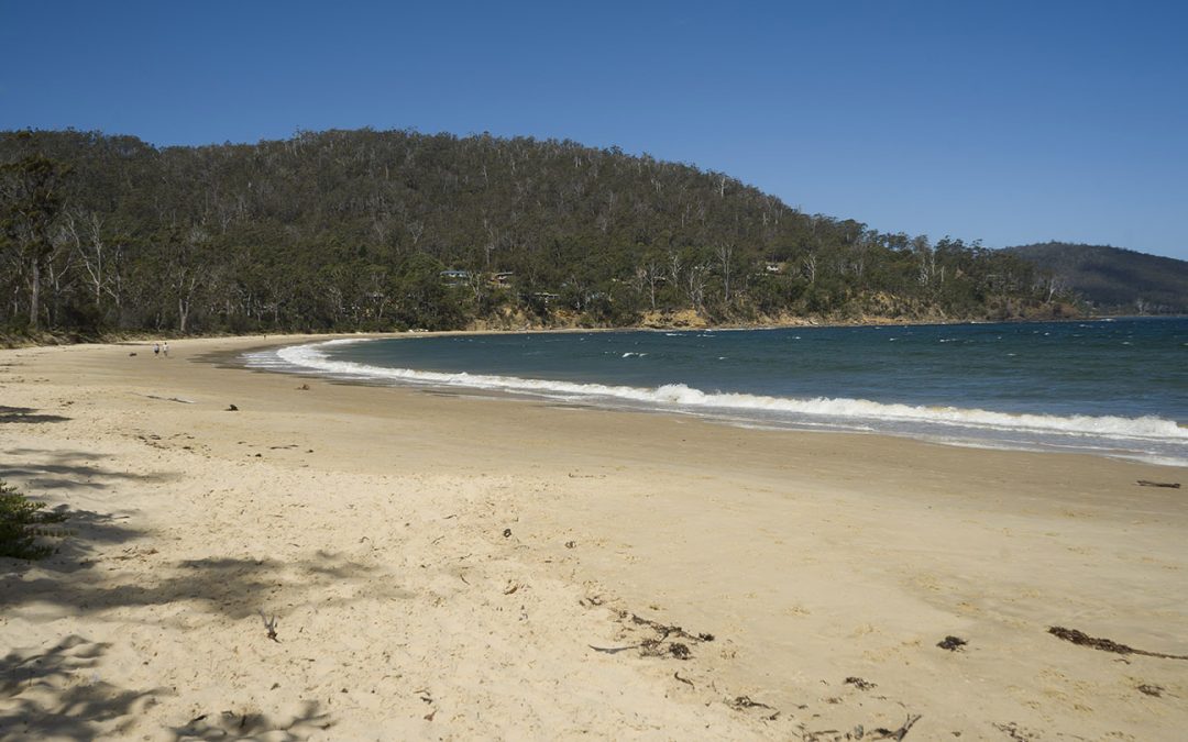
by Mickey Jarvis | Mar 10, 2024 | East Coast, Low Hazard
East Coast | Hazard Rating: Low | Parking: Minimal | from Hobart: 82 km | Faces: North into Prosser Bay | Length: 900 m
Shelley Beach is made of West Shelley and East Shelley Beaches with a rocky outcrop in between. Entry on the west end is via Jetty Road and down a short dirt road, with limited parking and no amenities. The east end is accessed via East Shelley Road (shown as E Shelly Road on Google Maps). Again, there is limited parking and no amenities.
A nice beach but with limited access and surprisingly not many shells! Also confusion on the spelling (Shelly vs Shelley).
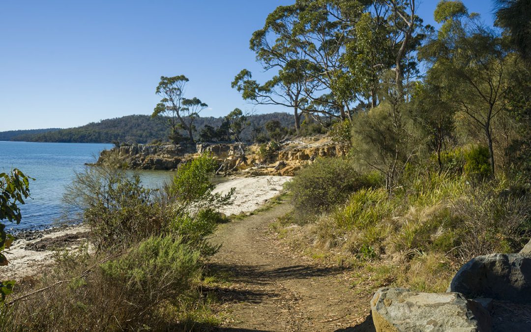
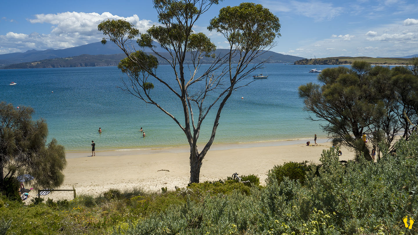
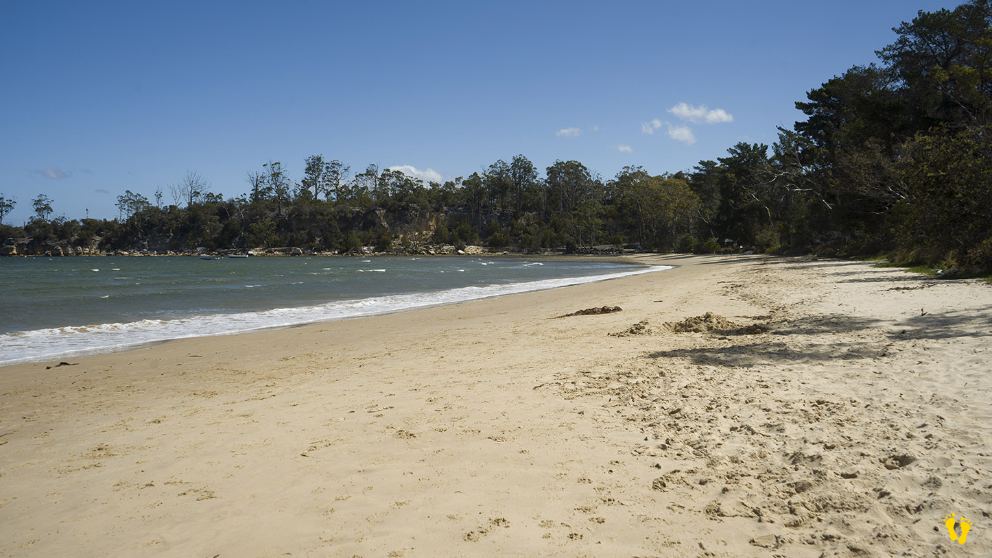
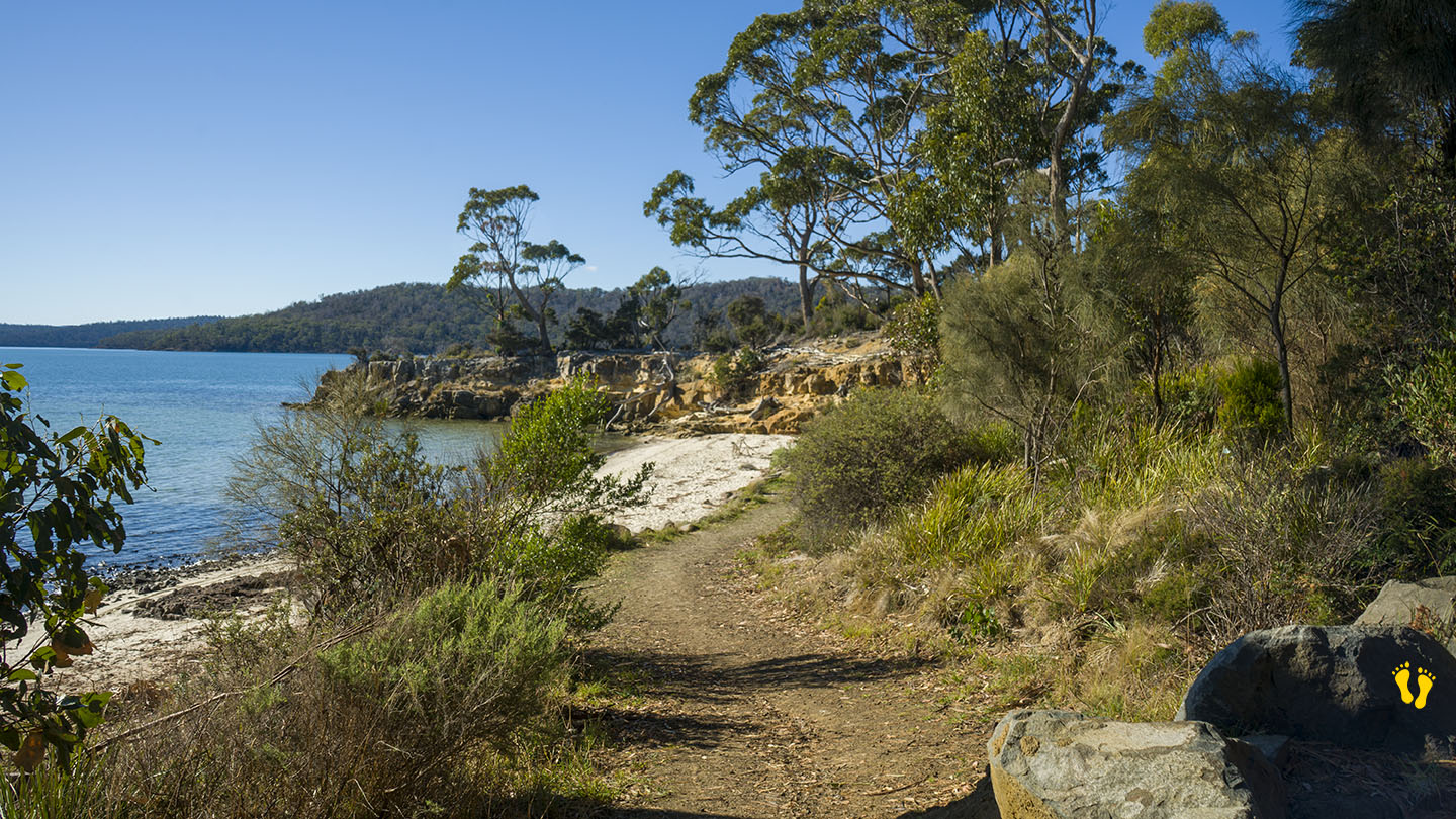
by Mickey Jarvis | May 5, 2024 | Low Hazard, South East, Tasman Peninsula
Hazard Rating: 1/10 | Parking: Good + close | from Hobart: 87 km | Faces: North into Norfolk Bay | Length: 200 m
Original Name: Turrakana, the homeland of the Pydairrerme (Tasman Peninsula’s Aboriginal people)
Shelly Beach Koonya faces north into Norfolk Bay and is one of the few accessible beaches along this coastline (due to private ownership of beach access).
A small isolated and protected beach that is great for a private visit to a little out-of-the-way beach. Cliffs to explore, snorkeling, swimming, great views and fishing maybe?
Access via Shelly Beach Road off Nubeena Road about 4-5 km from the Taranna turnoff – you will not experience any crowds here!