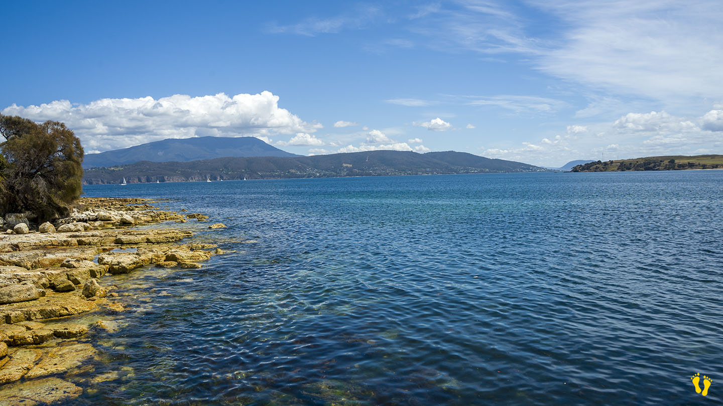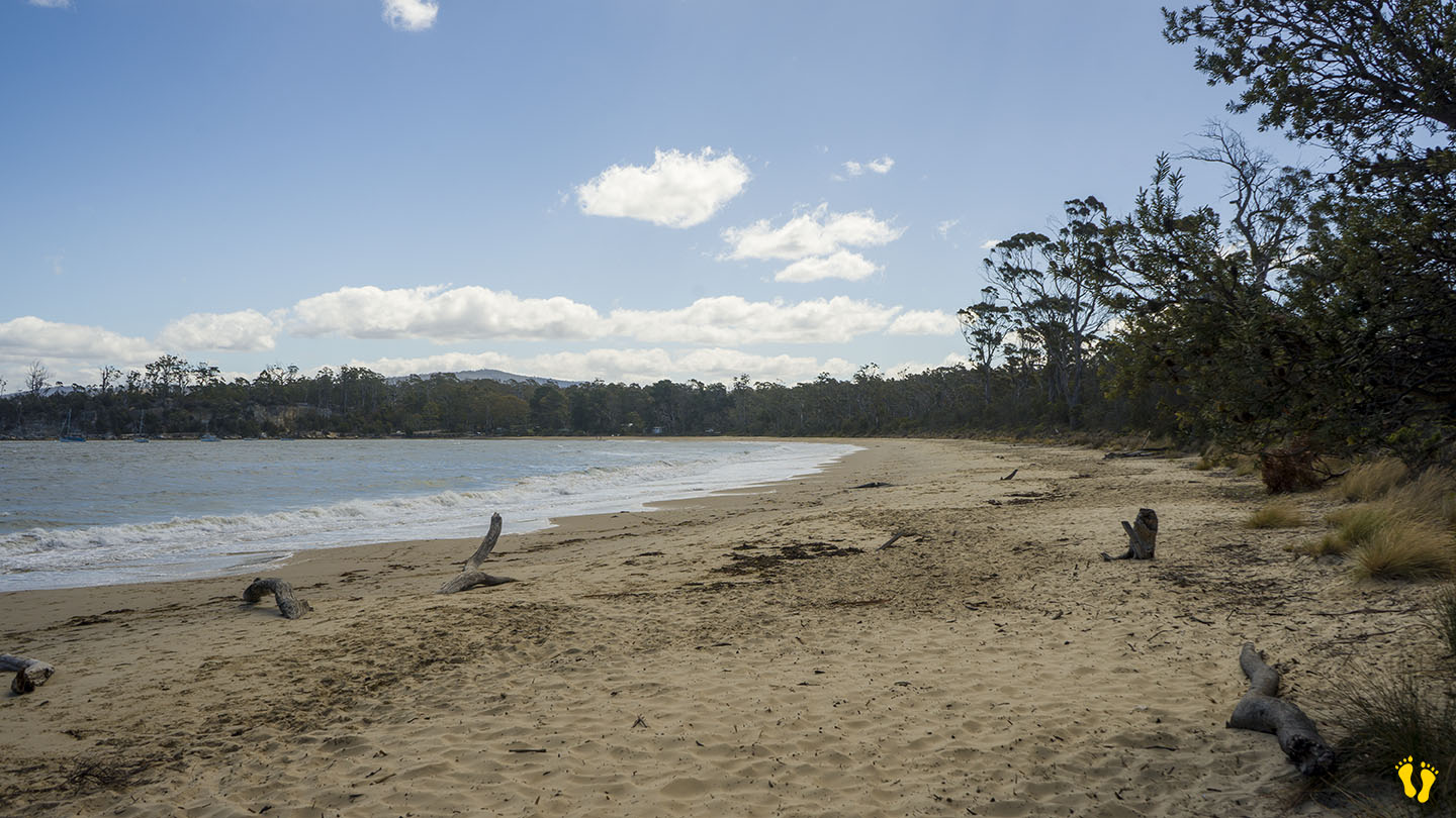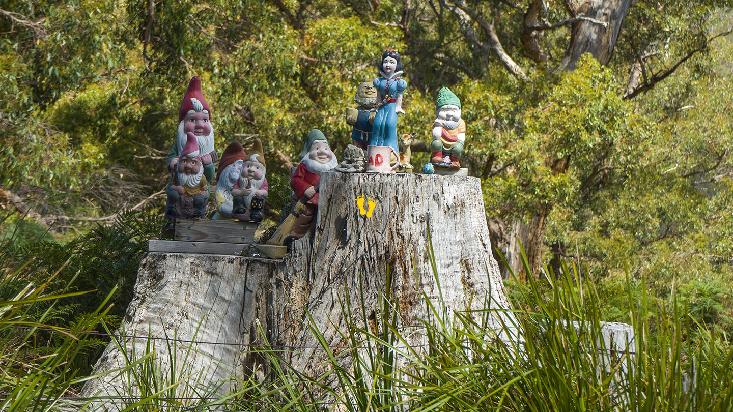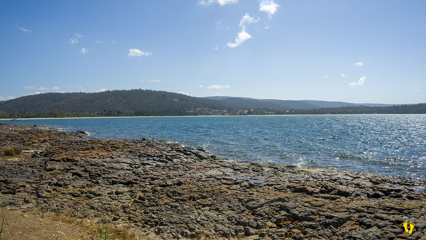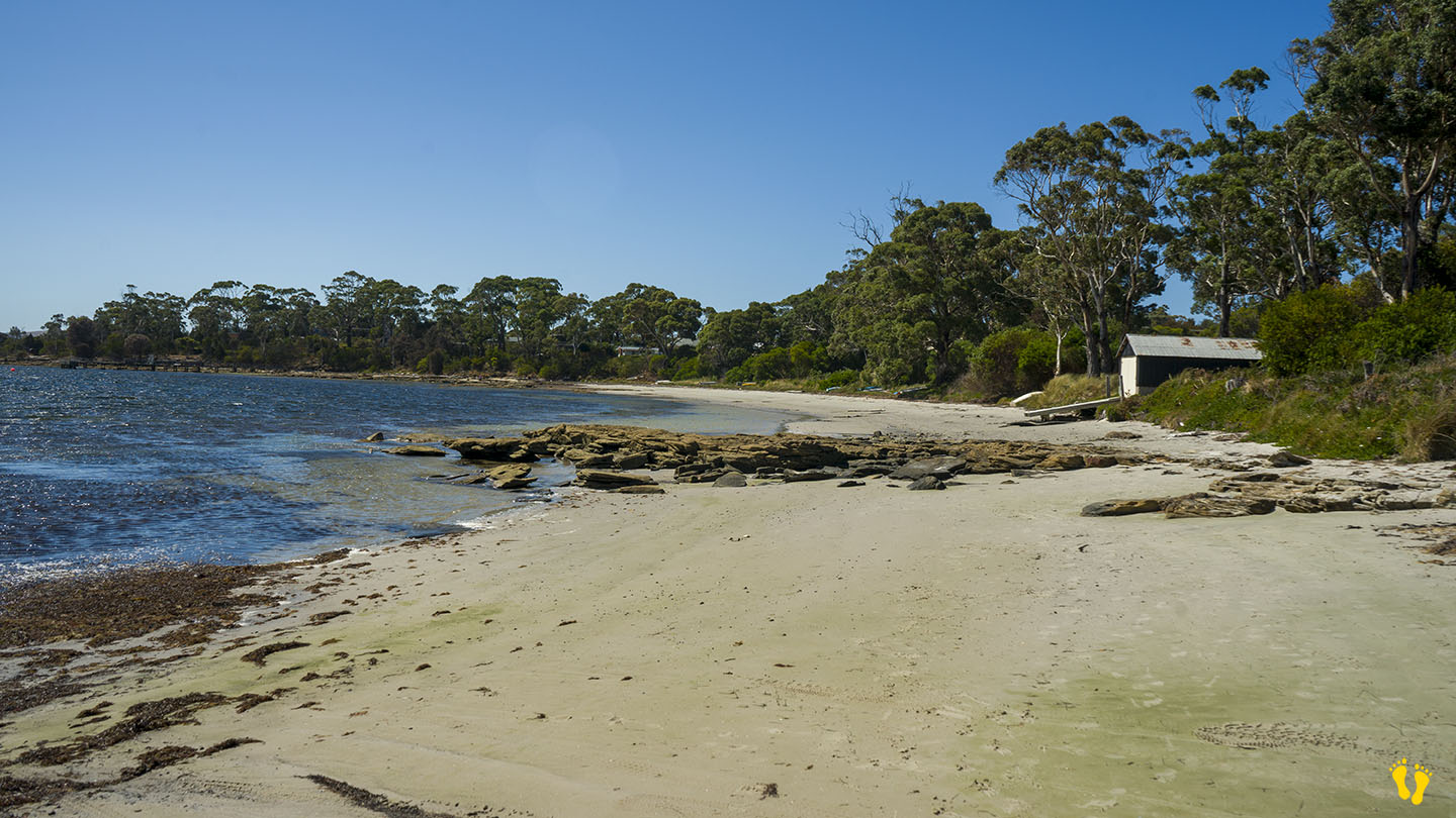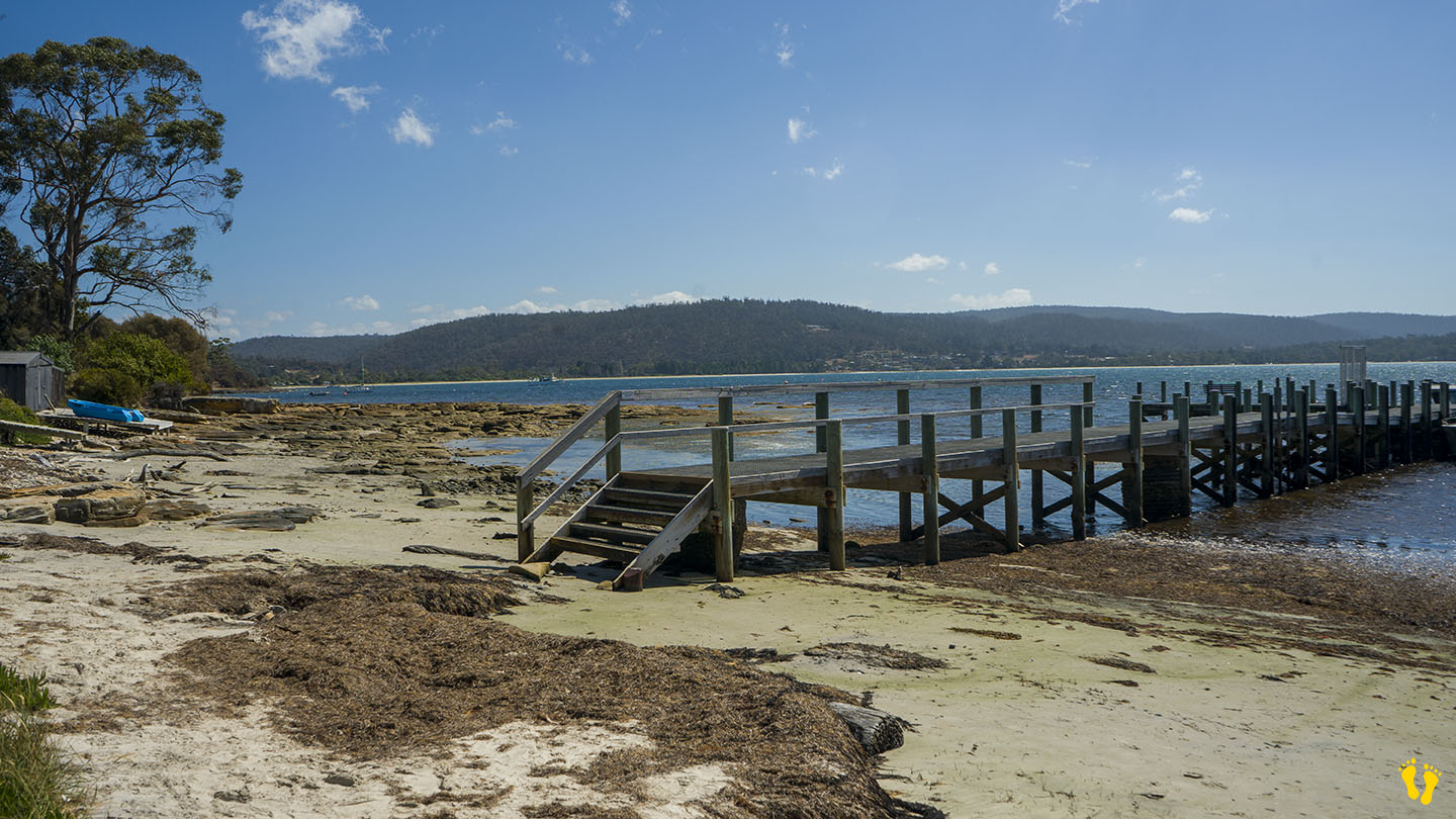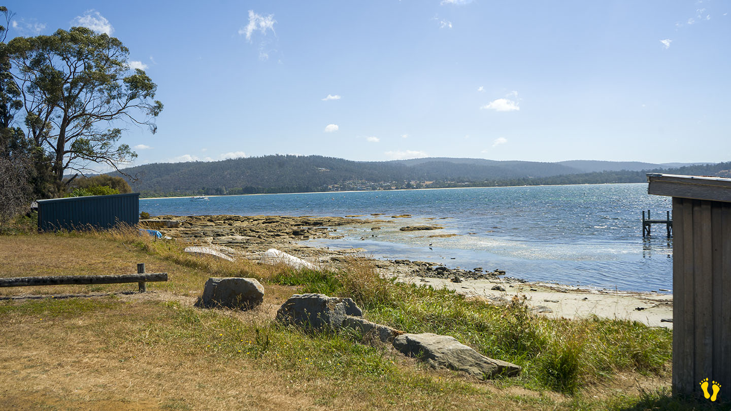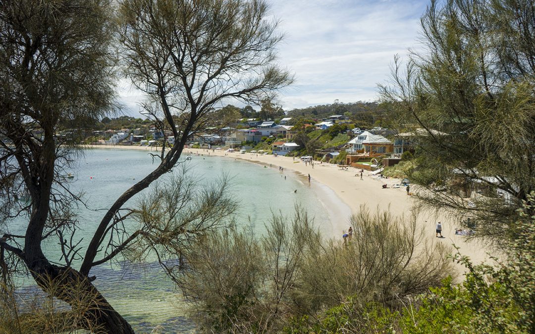
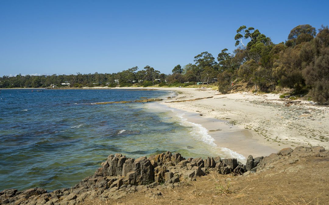
by Mickey Jarvis | Dec 28, 2023 | Low Hazard, South Arm Road, South East
Hazard Rating: 2/10 | Parking: Varied | from Hobart: 49 km | Faces: West into the River Derwent | Length: 1 km
Original people: Moomairemener, believed to be members of the Paredarerme (Oyster Bay tribe)
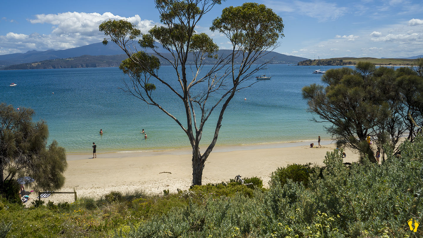
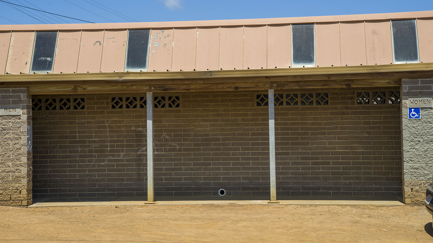
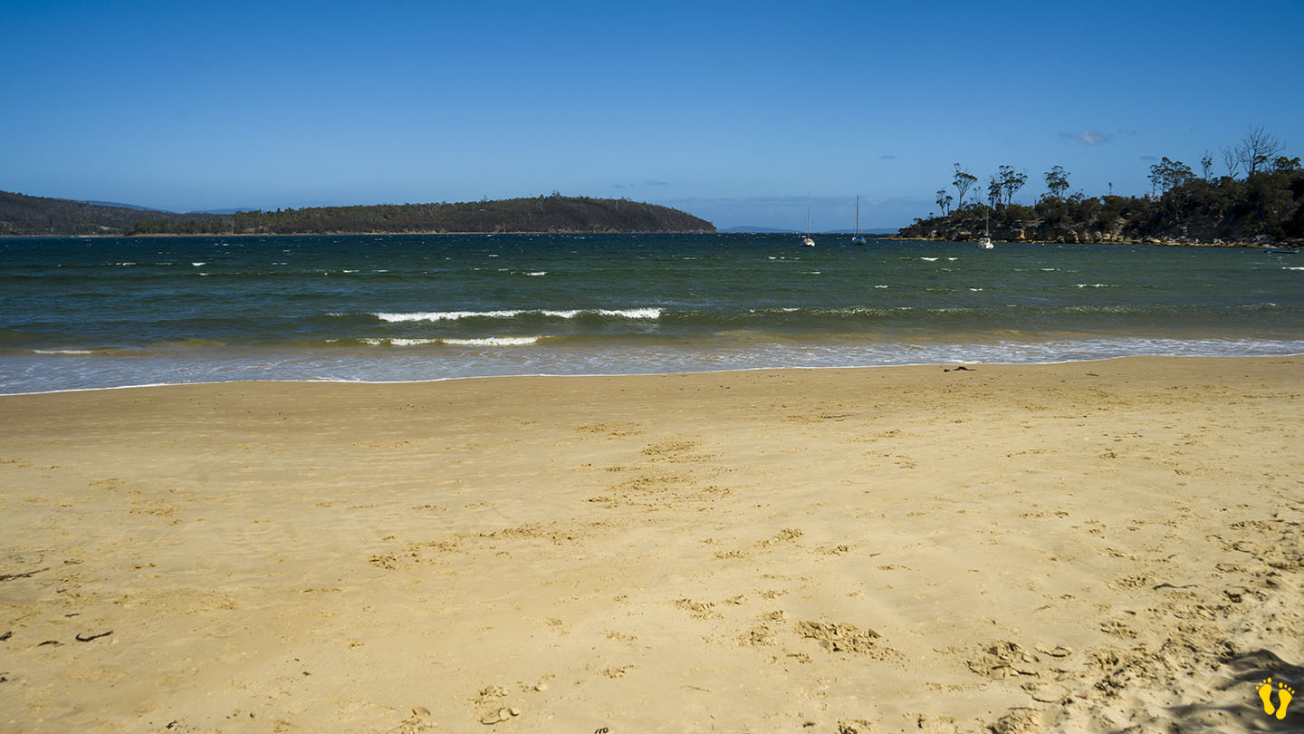
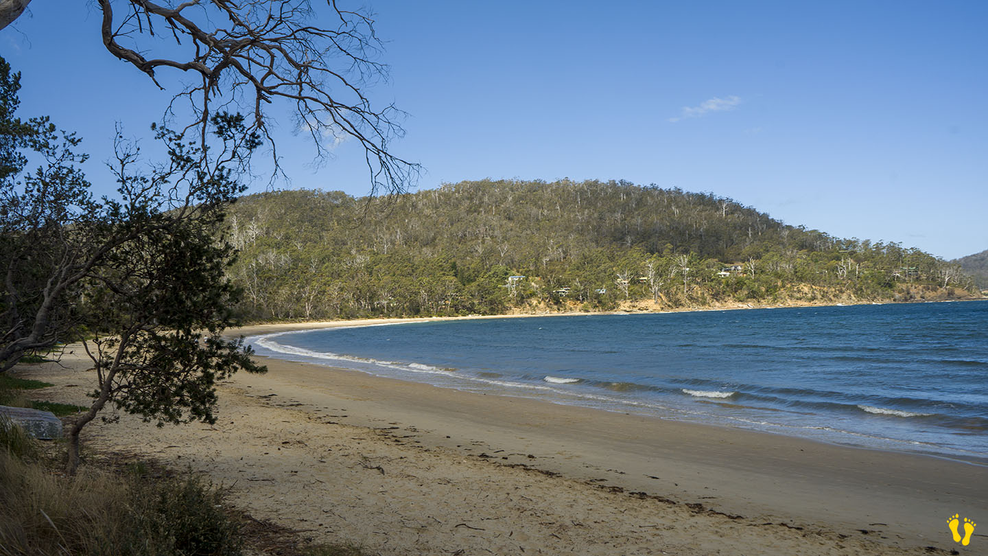
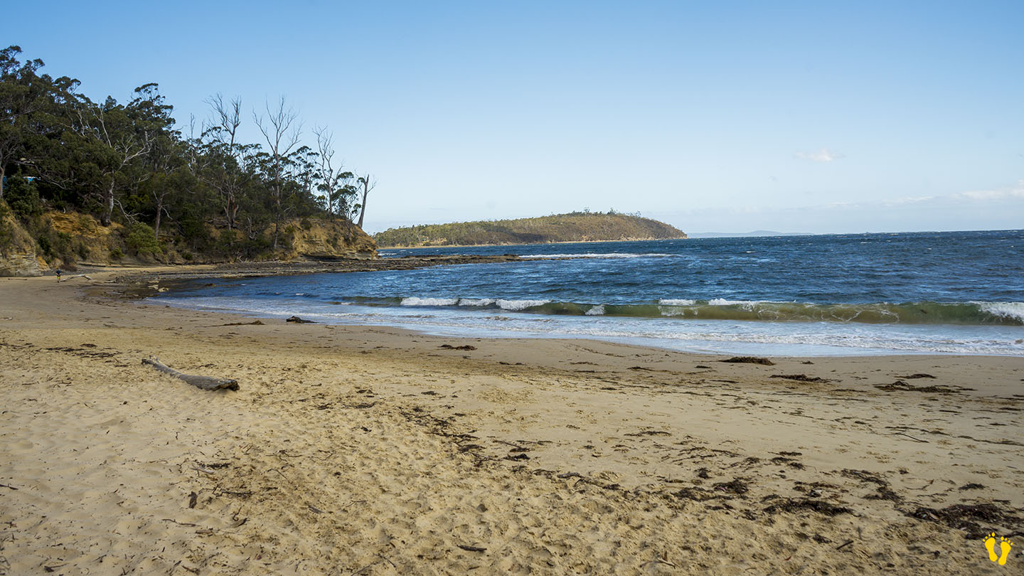
Situated towards the end of South Arm road this is a picturesque well protected beach great for kids. Okay access with shops nearby.
Good boat ramp with jetty for swimming, jumping and fishing.
Named after the American sloop ‘Opossum’ which was chartered by the government under Harbour-Master Capt. John Welsh to conduct numerous surveys in the River Derwent and River Huon in 1827. Opossum if a North American marsupial a bit similar to our possum.
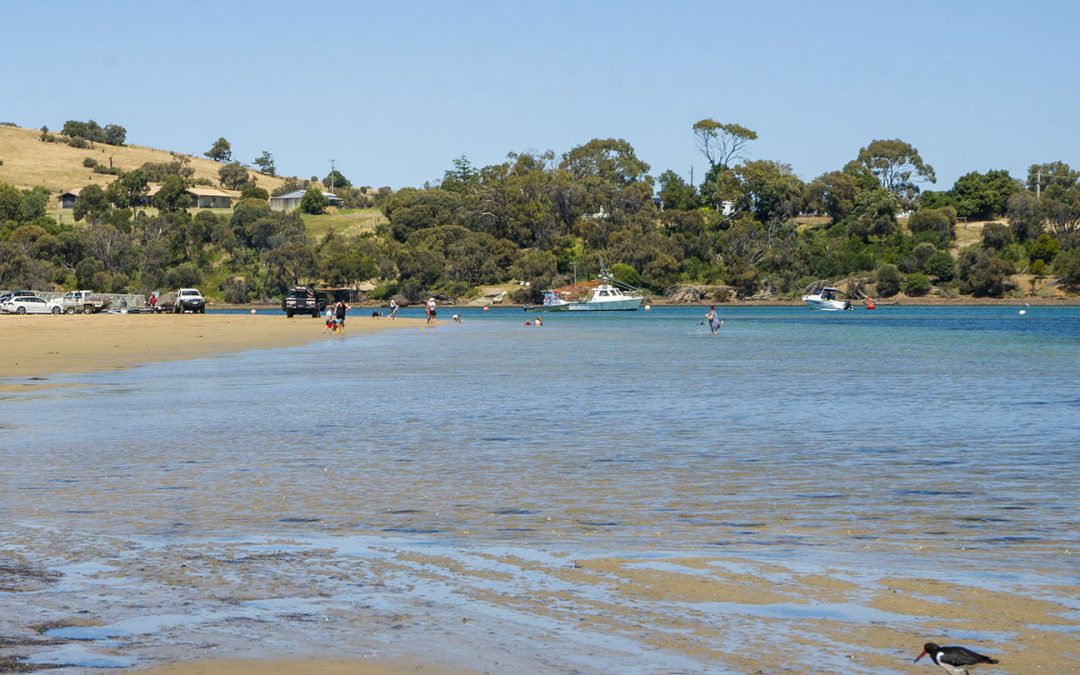
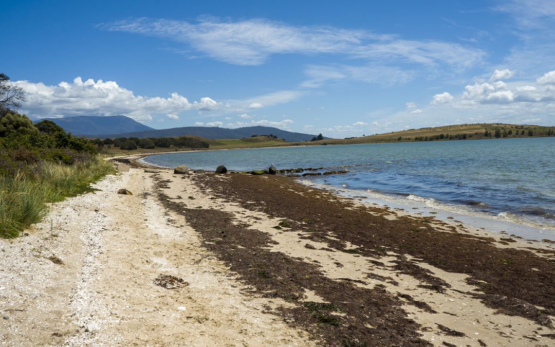
by Mickey Jarvis | Jan 10, 2023 | Low Hazard, South Arm Road
Hazard Rating: 1/10 | Parking: Varied | from Hobart: 27 km | Faces: West into Pipe Clay Lagoon
Original People: Moomairemener
Pipe Clay Lagoon is located on the back side of Cremorne Beach on a rivulet runs that out to Frederick Henry Bay.
Well protected with a very gradual foreshore into a deeper canal. Often used for launching boats.
Conditions change a lot depending on the tide and is often less accessible on very high tides. A popular fishing spot.
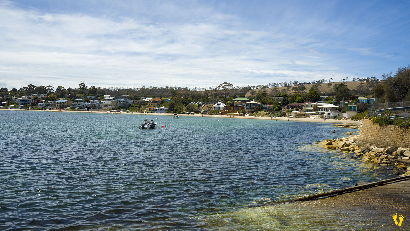
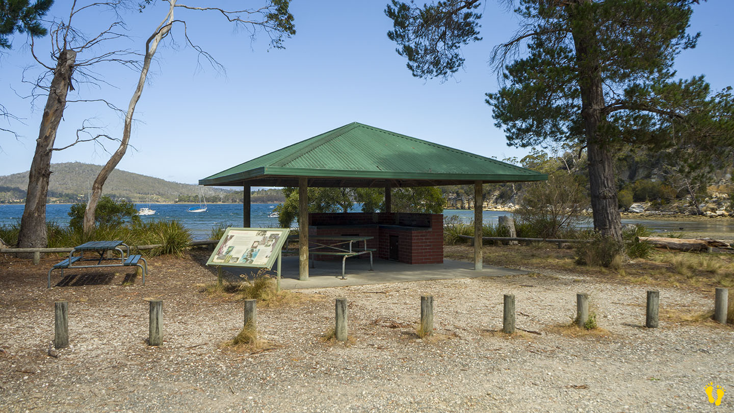
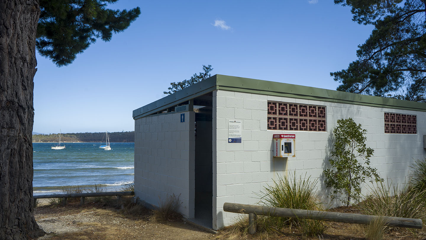
by Mickey Jarvis | Jan 23, 2024 | Channel, Greater Hobart, Low Hazard
Channel Highway | Hazard Rating: Low | Parking: Good + close | from Hobart: 58 km | Faces: South into Huon River | Length: 600 m
Situated between Verona Sands and Cygnet, turn off the Channel Highway onto Randalls Bay Road.
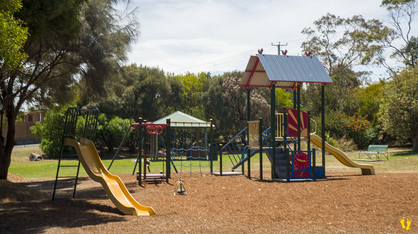
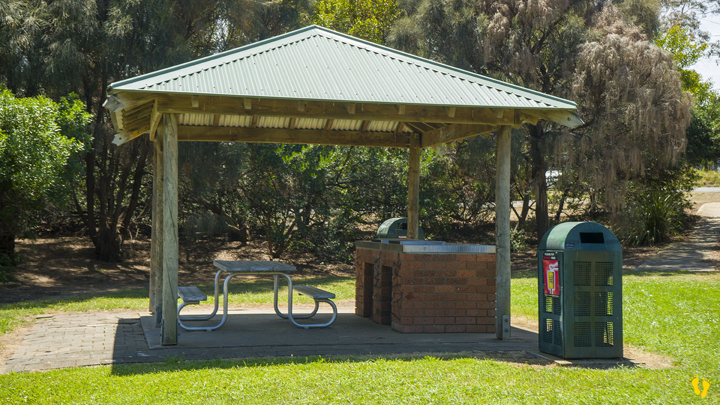
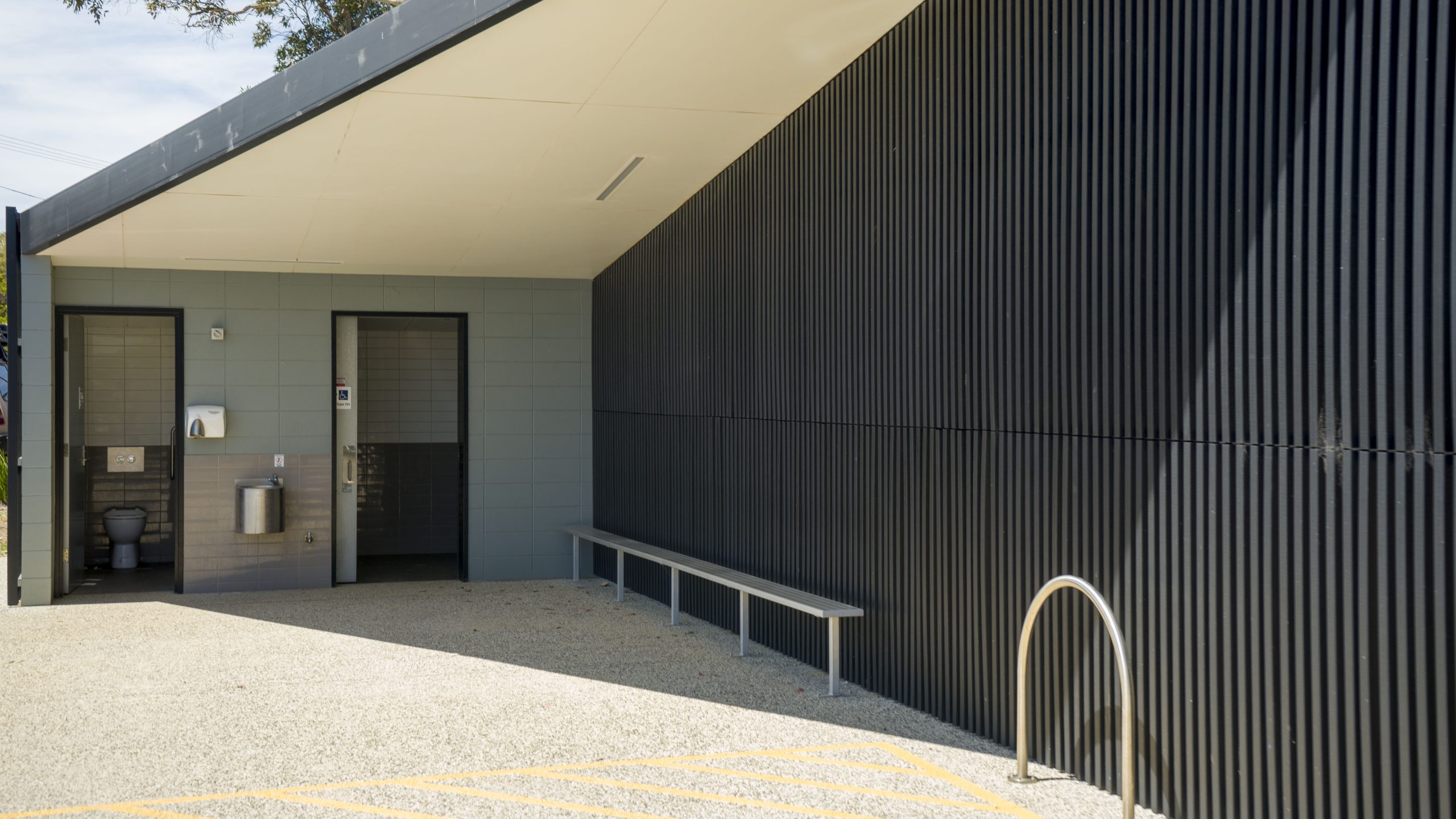
A long sandy beach with views of Garden Island. Well protected and great for kids to swim. Toilets and BBQ area.
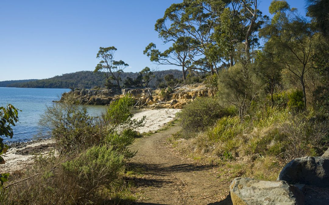
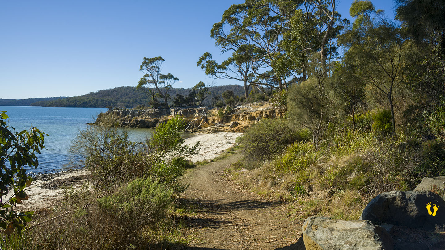
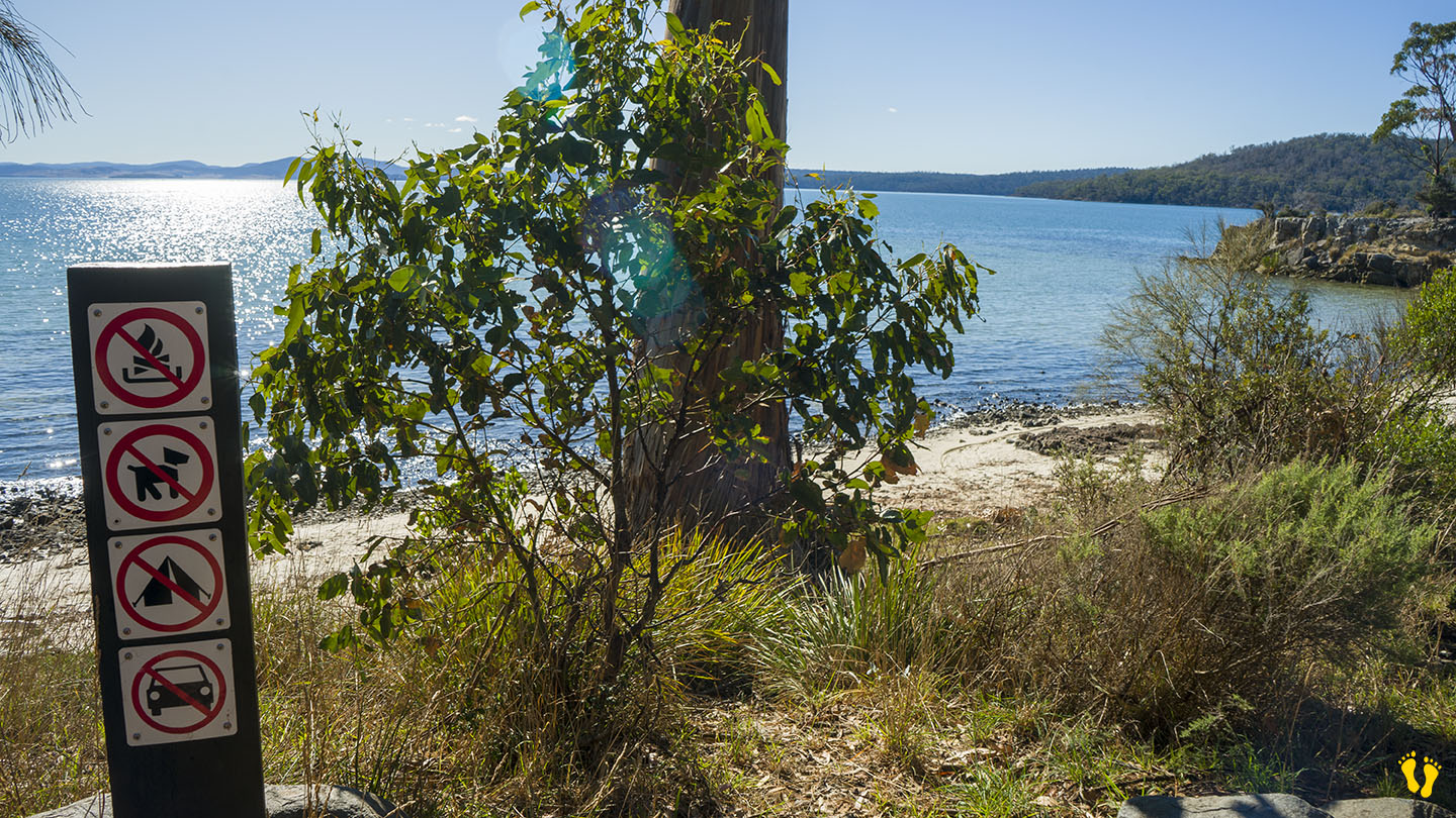
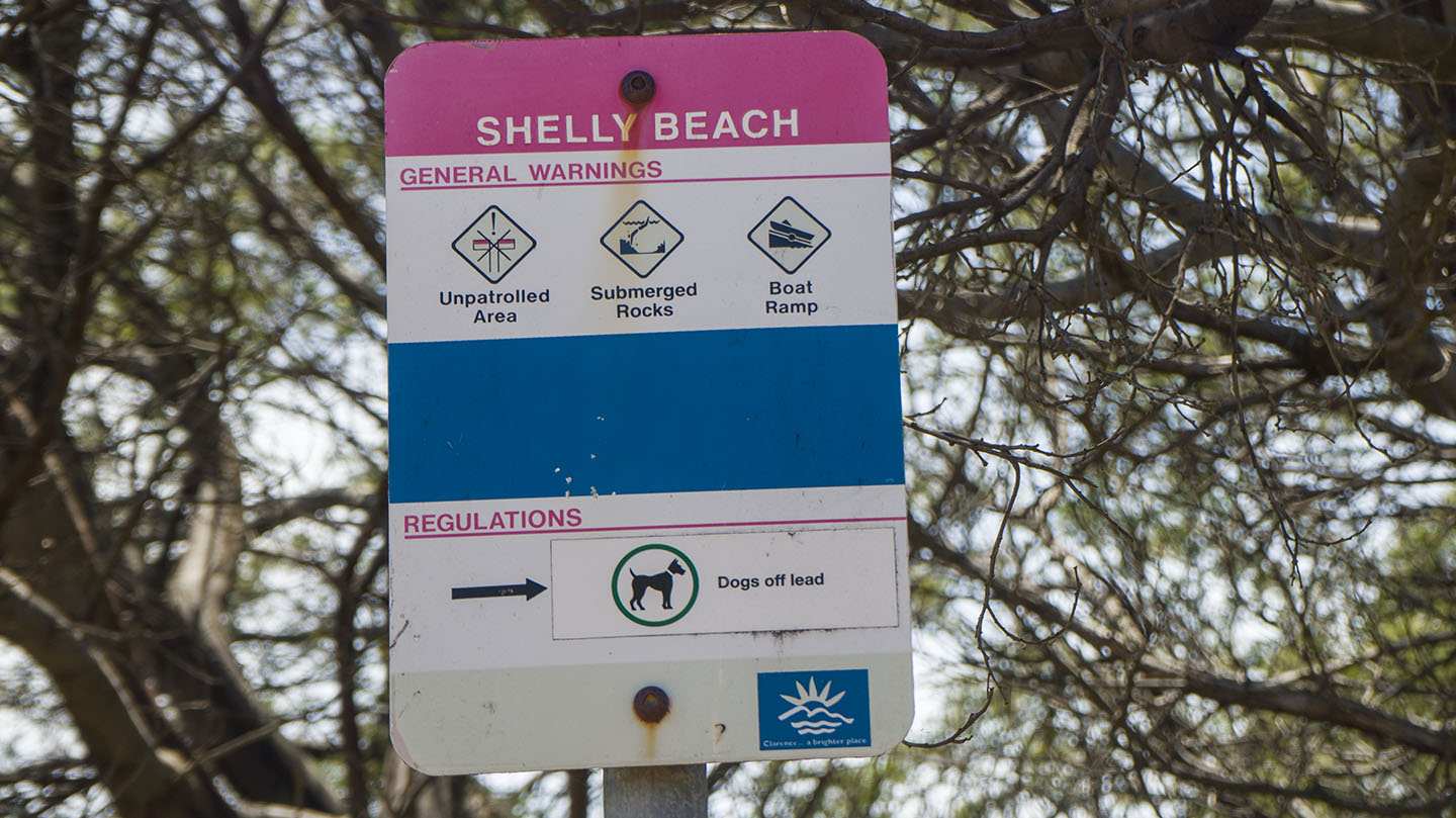
by Mickey Jarvis | May 5, 2024 | Low Hazard, South East, Tasman Peninsula
Hazard Rating: 1/10 | Parking: Good + close | from Hobart: 87 km | Faces: North into Norfolk Bay | Length: 200 m
Original Name: Turrakana, the homeland of the Pydairrerme (Tasman Peninsula’s Aboriginal people)
Shelly Beach Koonya faces north into Norfolk Bay and is one of the few accessible beaches along this coastline (due to private ownership of beach access).
A small isolated and protected beach that is great for a private visit to a little out-of-the-way beach. Cliffs to explore, snorkeling, swimming, great views and fishing maybe?
Access via Shelly Beach Road off Nubeena Road about 4-5 km from the Taranna turnoff – you will not experience any crowds here!
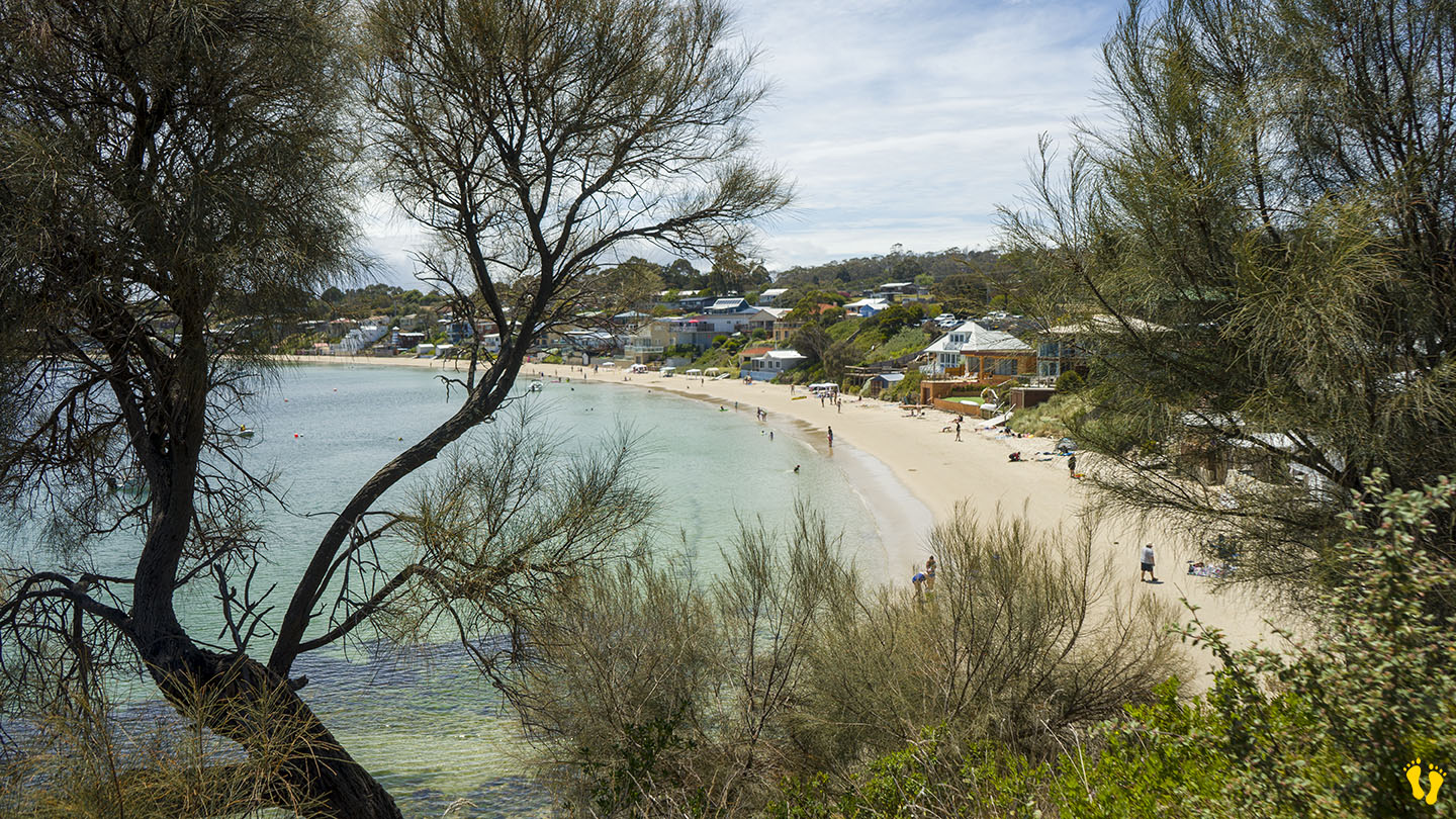
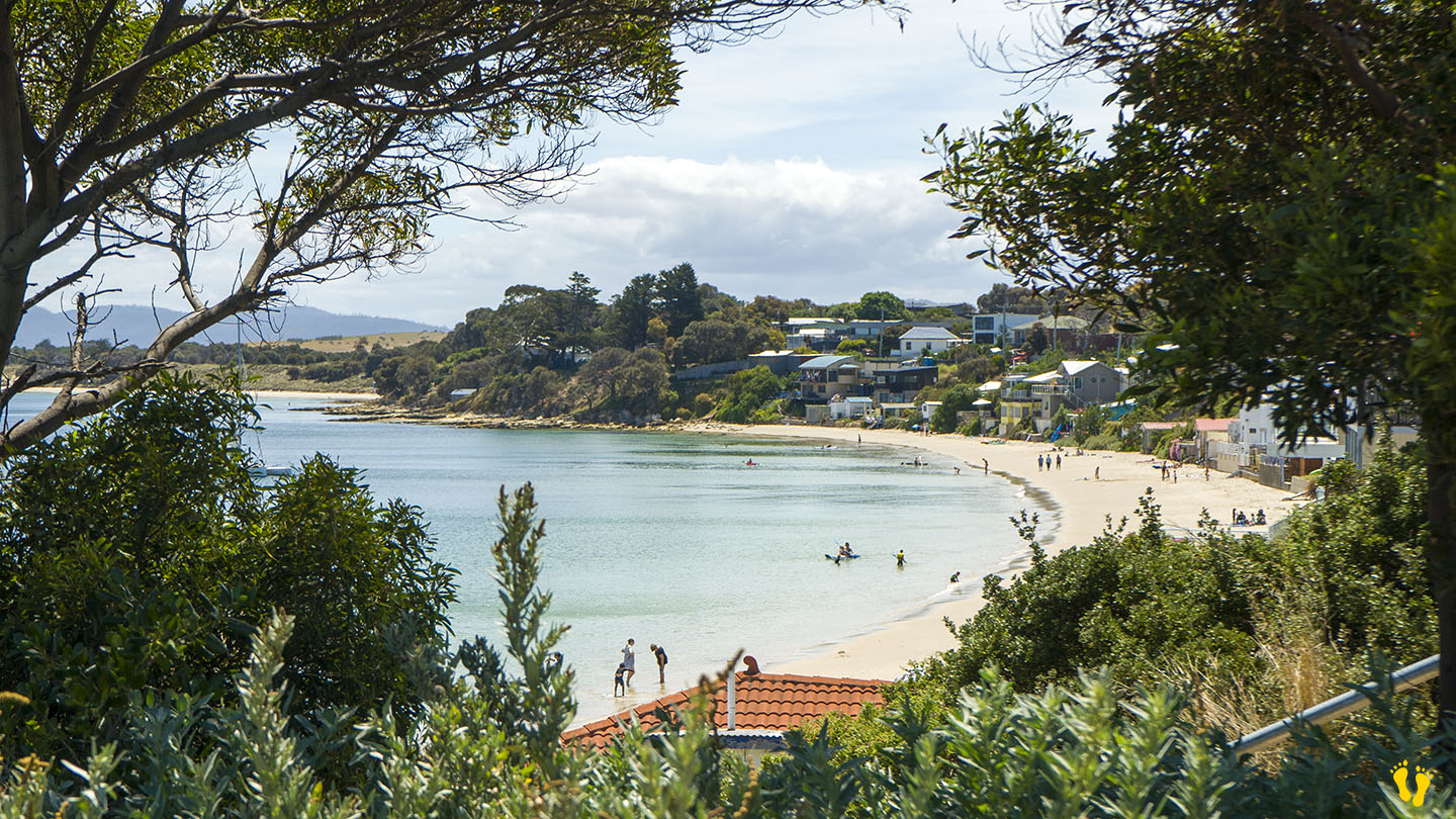
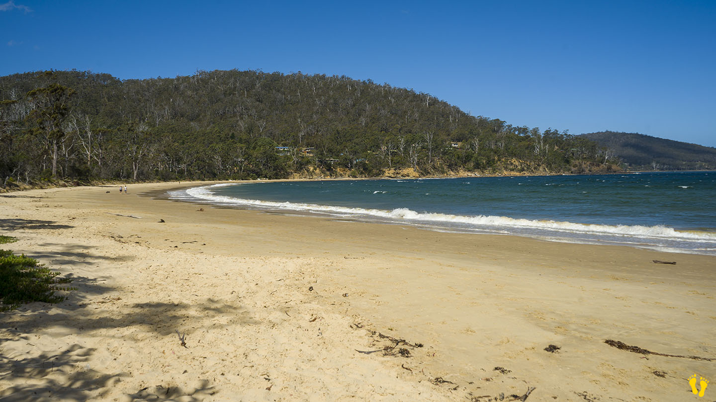
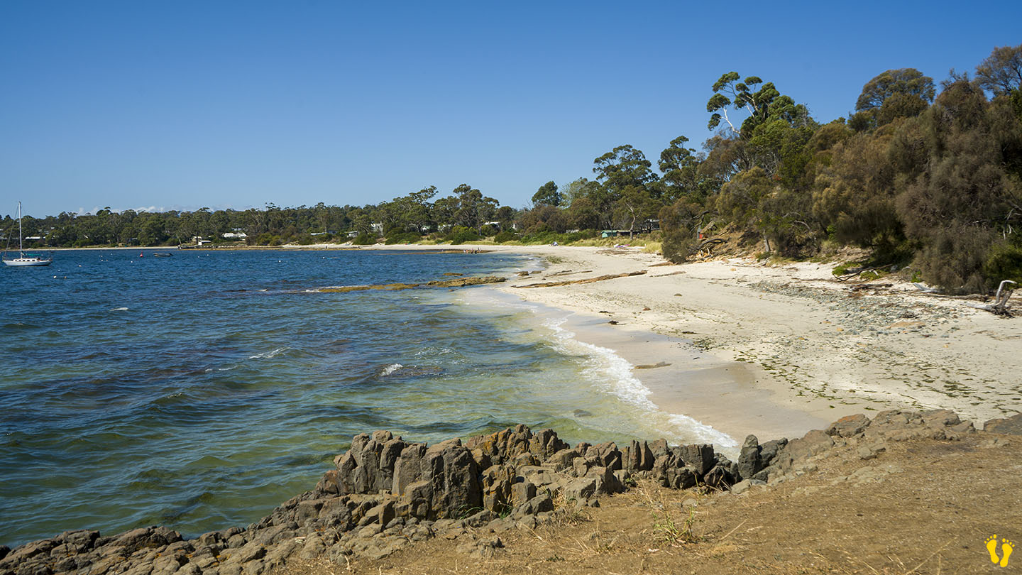
by Mickey Jarvis | Mar 10, 2024 | East Coast, Low Hazard
East Coast | Hazard Rating: Low | Parking: Minimal | from Hobart: 82 km | Faces: North into Prosser Bay | Length: 900 m
Shelley Beach is made of West Shelley and East Shelley Beaches with a rocky outcrop in between. Entry on the west end is via Jetty Road and down a short dirt road, with limited parking and no amenities. The east end is accessed via East Shelley Road (shown as E Shelly Road on Google Maps). Again, there is limited parking and no amenities.
A nice beach but with limited access and surprisingly not many shells! Also confusion on the spelling (Shelly vs Shelley).
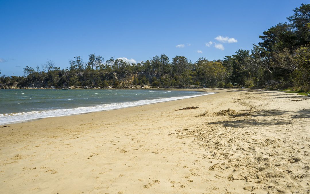
by Mickey Jarvis | Dec 28, 2023 | East Coast, Low Hazard
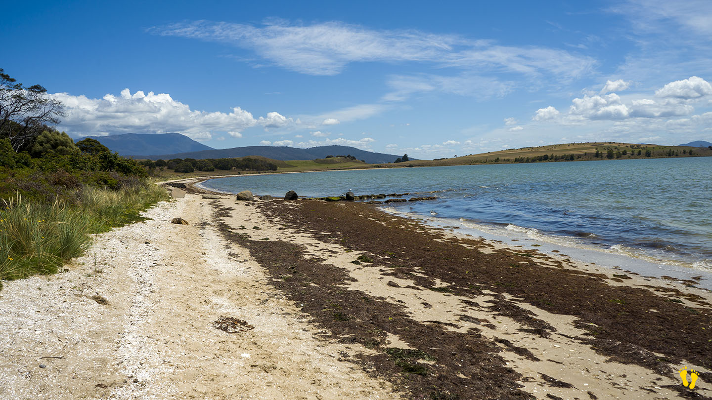
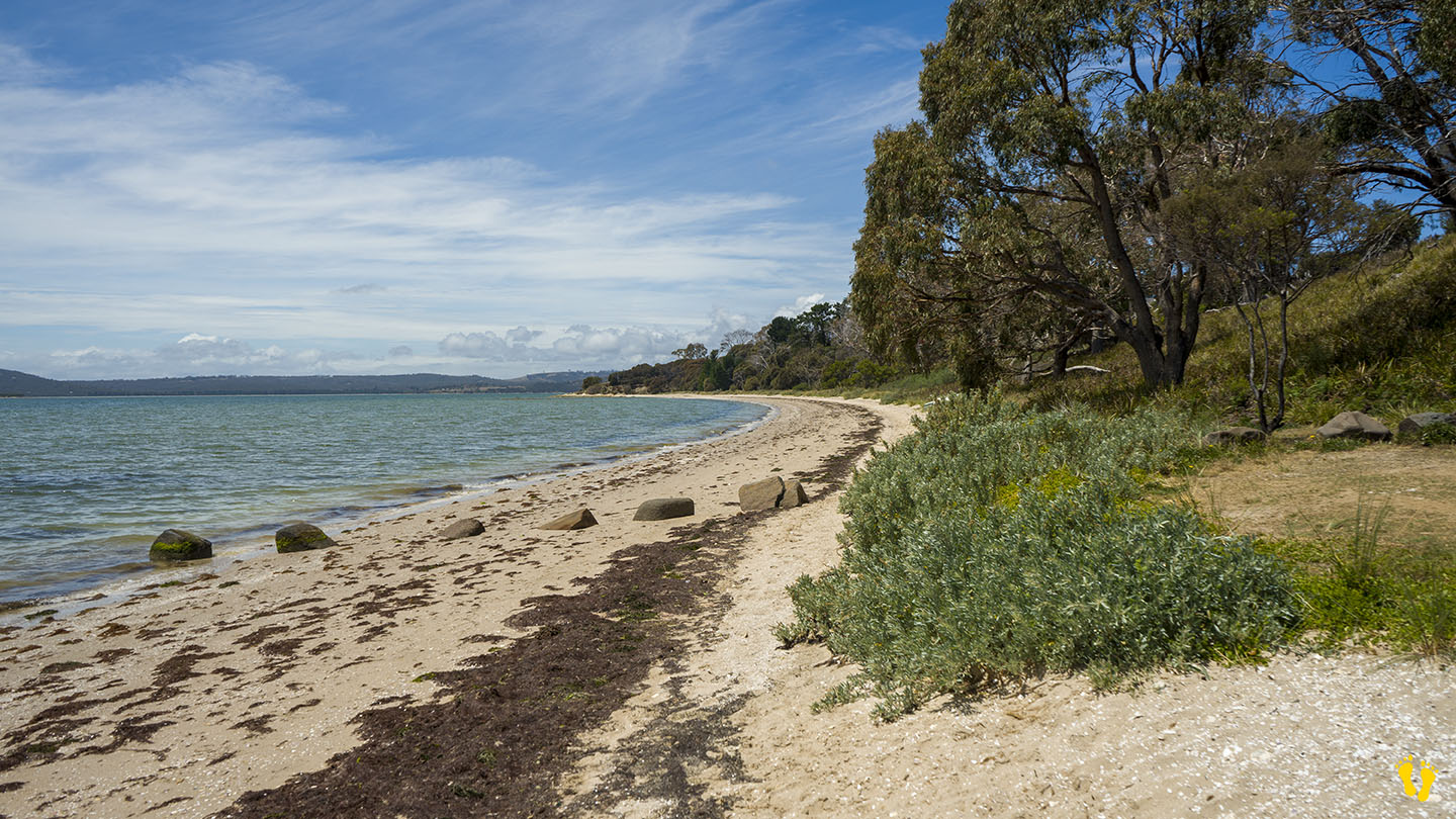
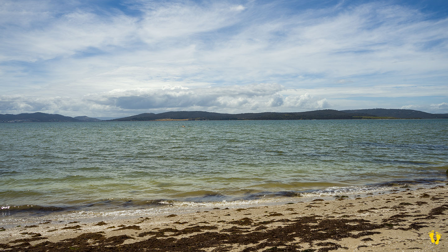
SOUTH ARM | Hazard Rating: 1/10 | Parking: Good + close | from Hobart: 51 km | Faces: North East into Ralphs Bay | Length: 1.5 km
One of many ‘Shelly Beaches’ in Tasmania. Shelly Beach South Arm is on the eastern side of the arm north of Opossum Bay opposite Mitchells beach on the west. Well protected and not very well known about. A tidal shallow beach with rocky outcrops, bird life and of course… lots of shells (and seaweed), interesting to explore.
Access via Driftwood and Bangor Roads, ignore sign saying no access to Arm End, this does not apply to the beach. Good parking right above beach but no facilities. Dog friendly and ideal for a long walk along a secluded beach. Also has shore based boat ramp.