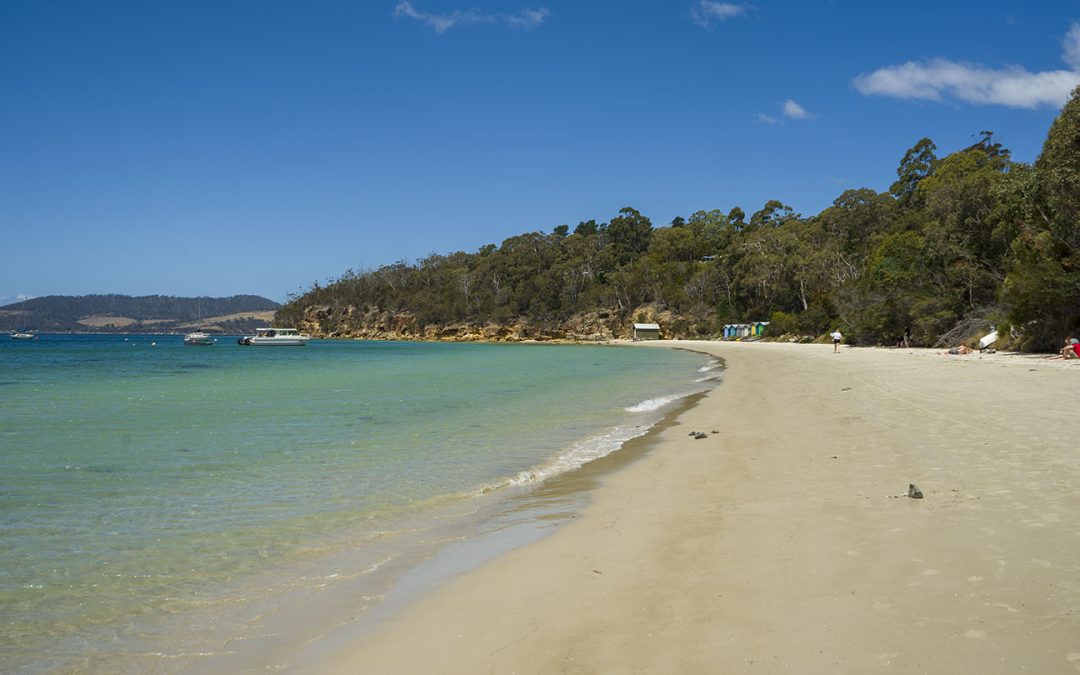
by Mickey Jarvis | Nov 24, 2024 | Bruny Island, Low Hazard
Bruny Island | Hazard Rating: 2/10 | Parking: Good + close | Faces: West | Length: 1.1 km
Original People: Nuenonne | Original Name: lunawannalonna (Bruny Island)
Information and review
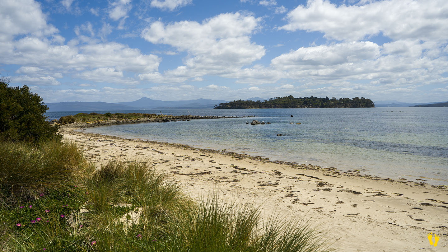
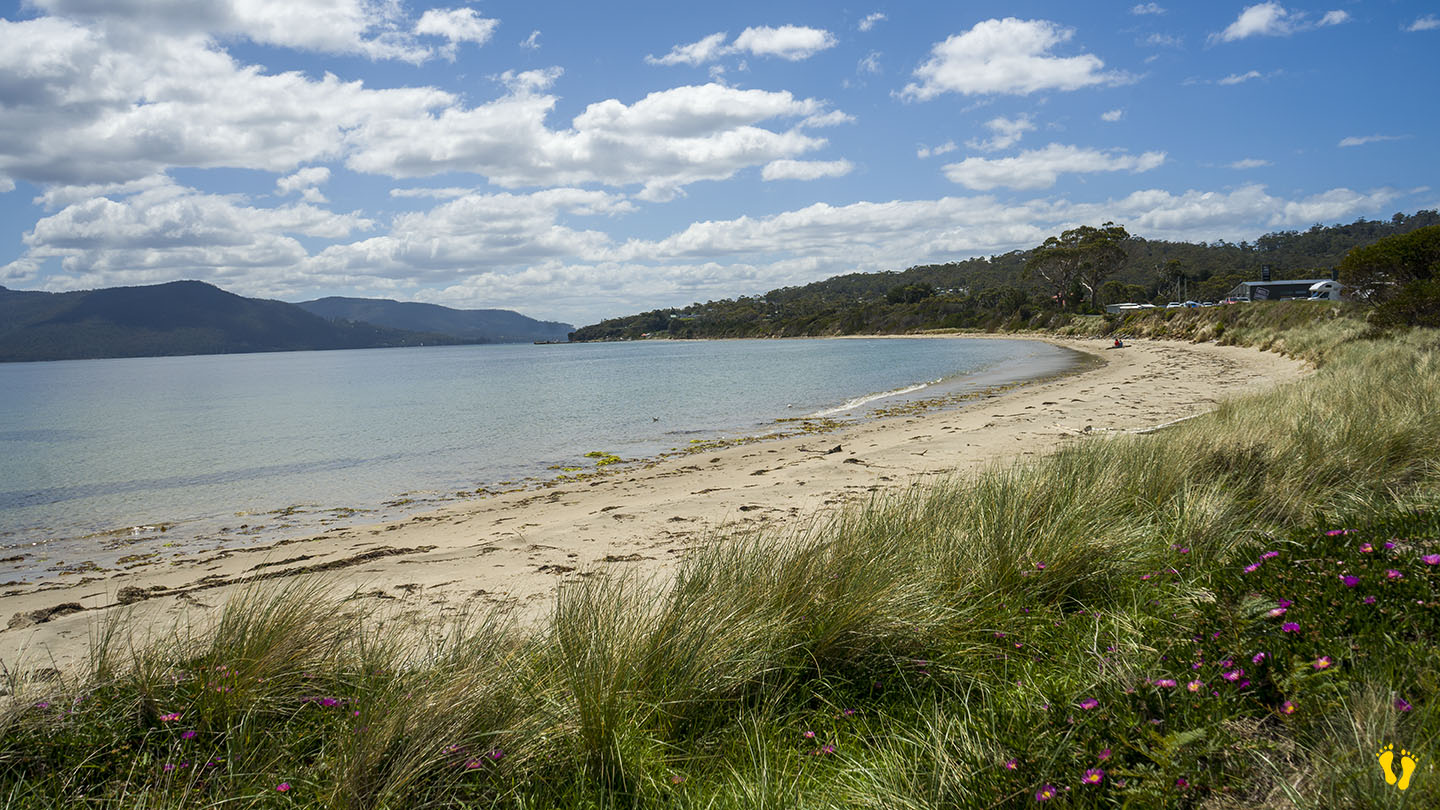
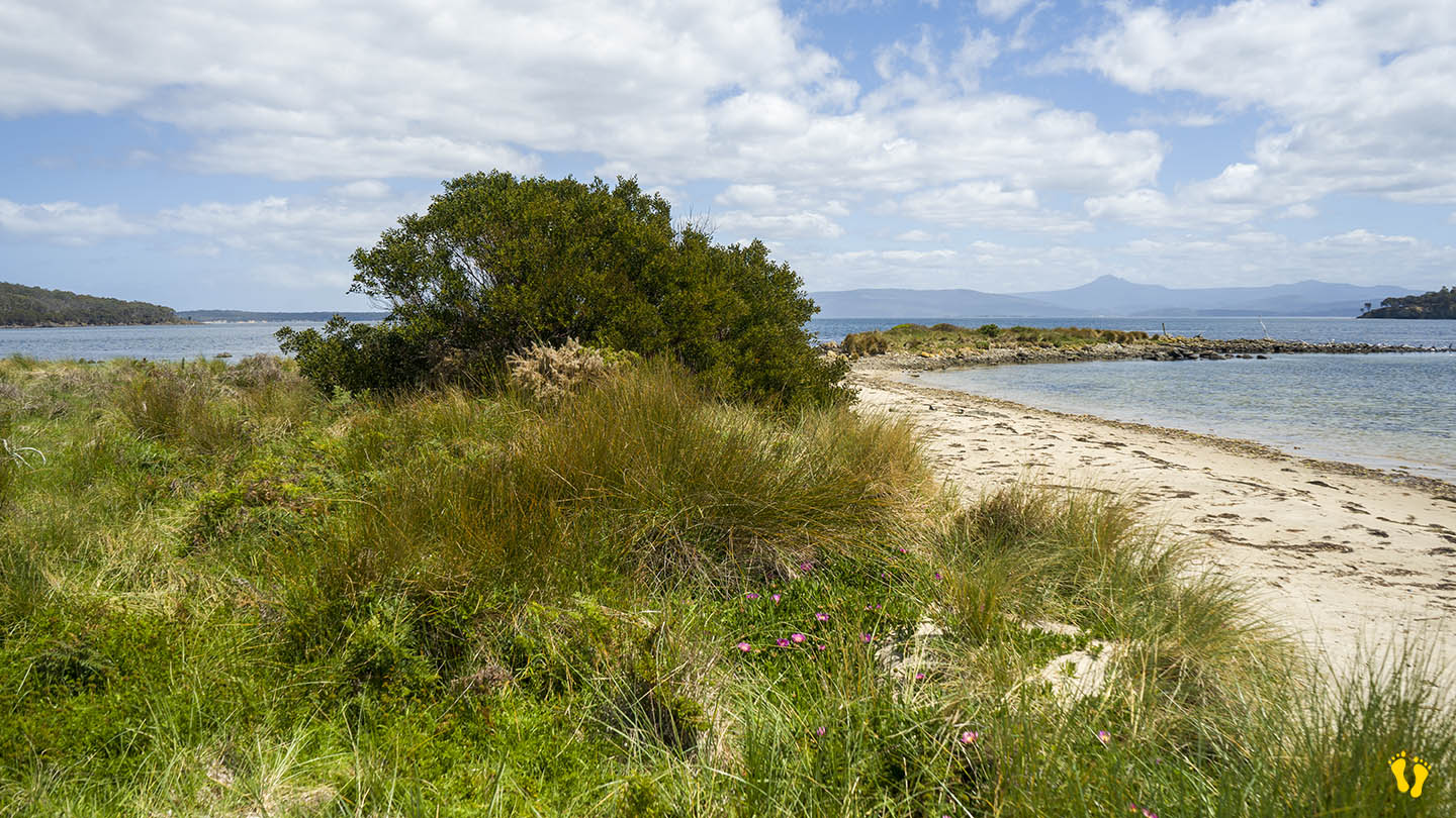
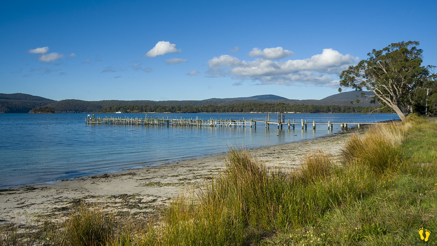
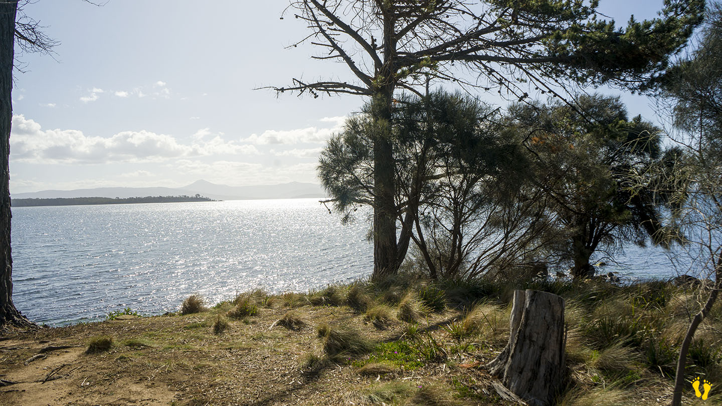
Alonnah Beach is situated close to Bruny Island Main Road. This is a beach you could swim and spend time at – but there are better choices not far away – e.g. Adventure Bay. A small car park at Reef Track on the south end is the best place for access. The name comes from part of the Aboriginal name for Bruny Island – lunawannalonna.
Close to shops, Hotel Bruny and other facilities. Views of Satellite Island.
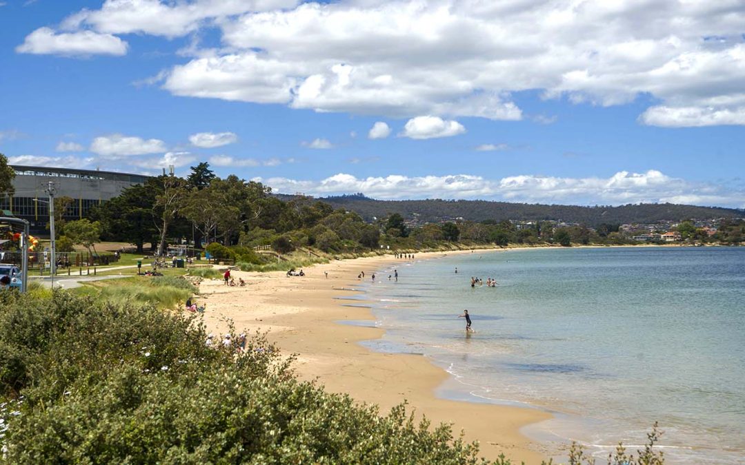
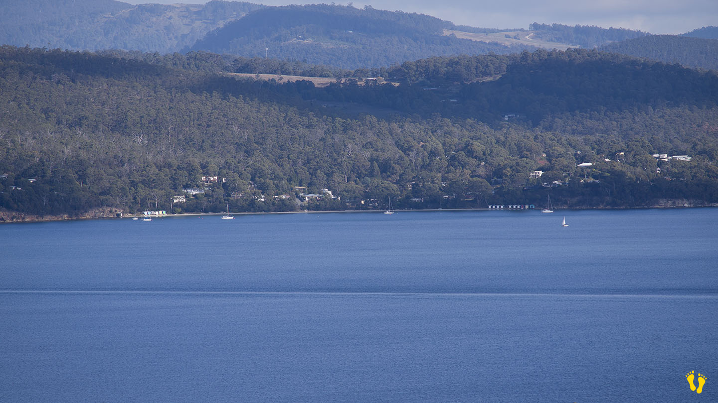
by Mickey Jarvis | Dec 11, 2023 | Greater Hobart, Low Hazard, Wheelchair Friendly
Eastern Shore near Hobart |
Hazard Rating: 2/10 | Parking: Good + close | from Hobart: 7 km | Faces: South into the River Derwent | Length: 1.2 km
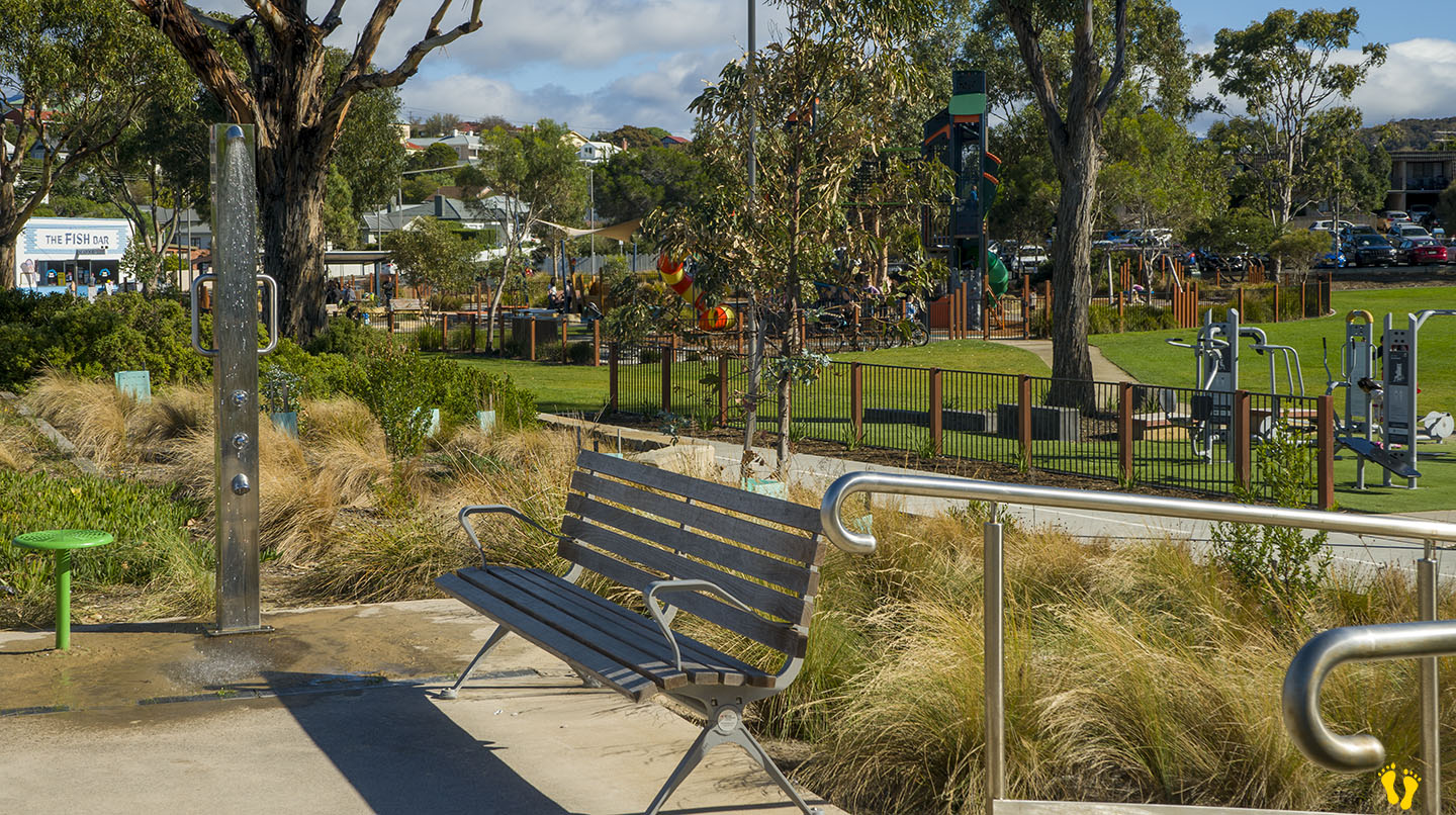
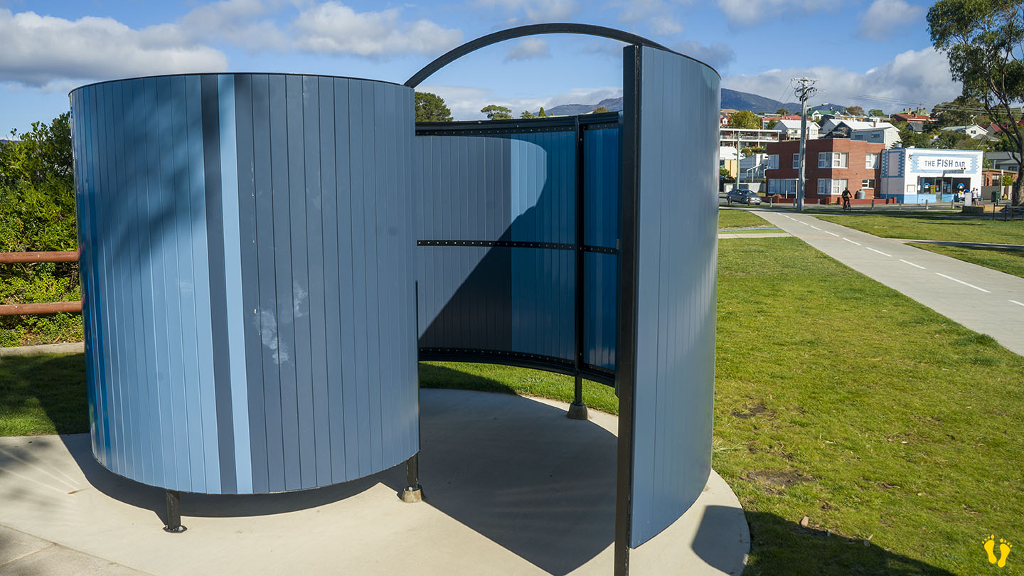
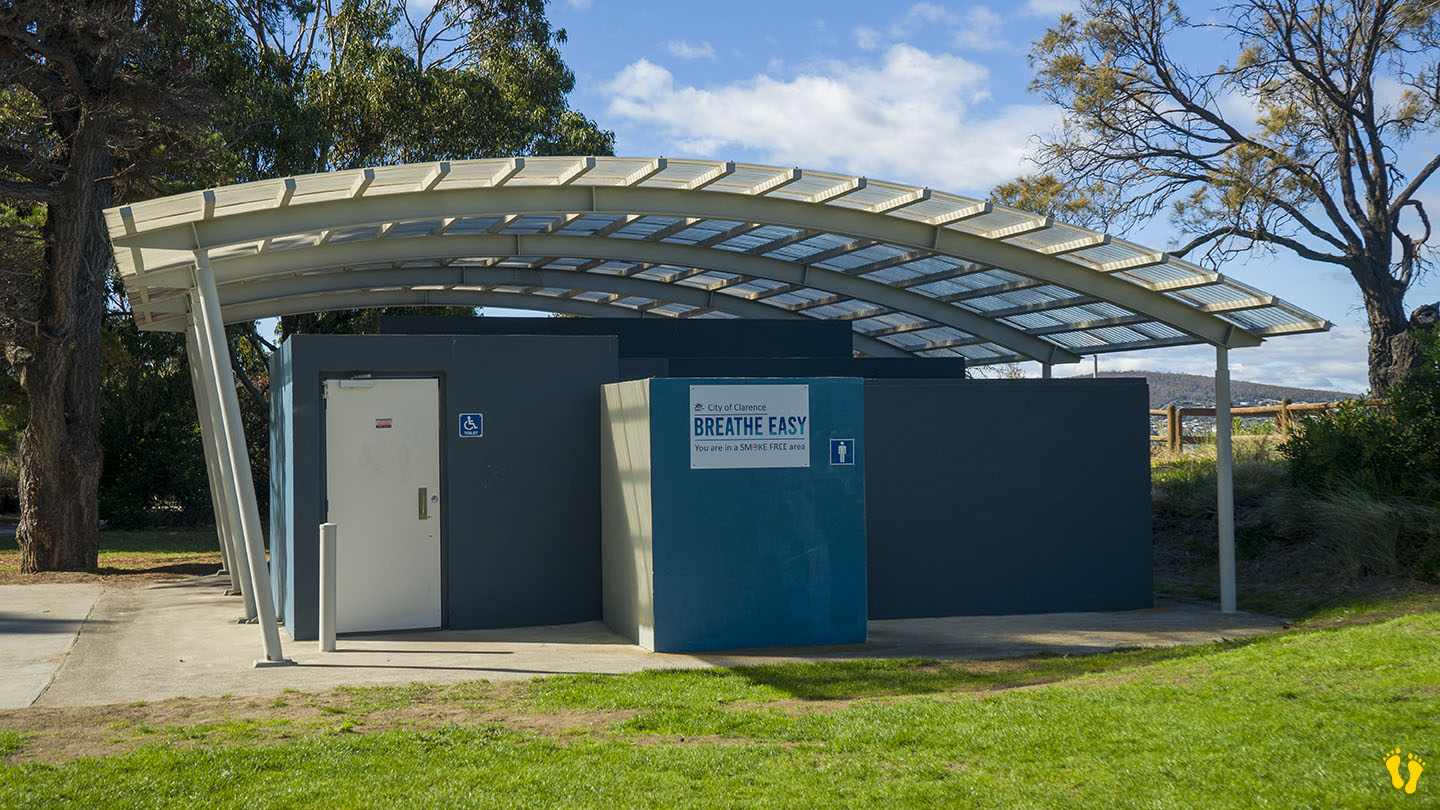
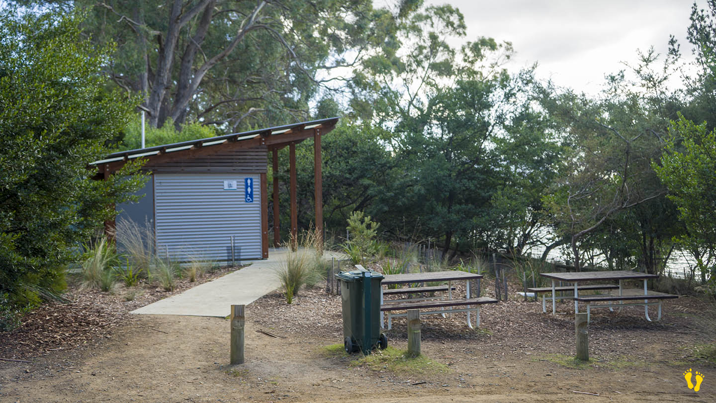
Wheel Chair Access: Beach access mat, 3 disabled parking spaces, change room near beach, disabled toilet 100m along a flat path.
Original People: Occupied for 35,000 years by the semi-nomadic Mouheneener people, a sub-group of the Nuennone.
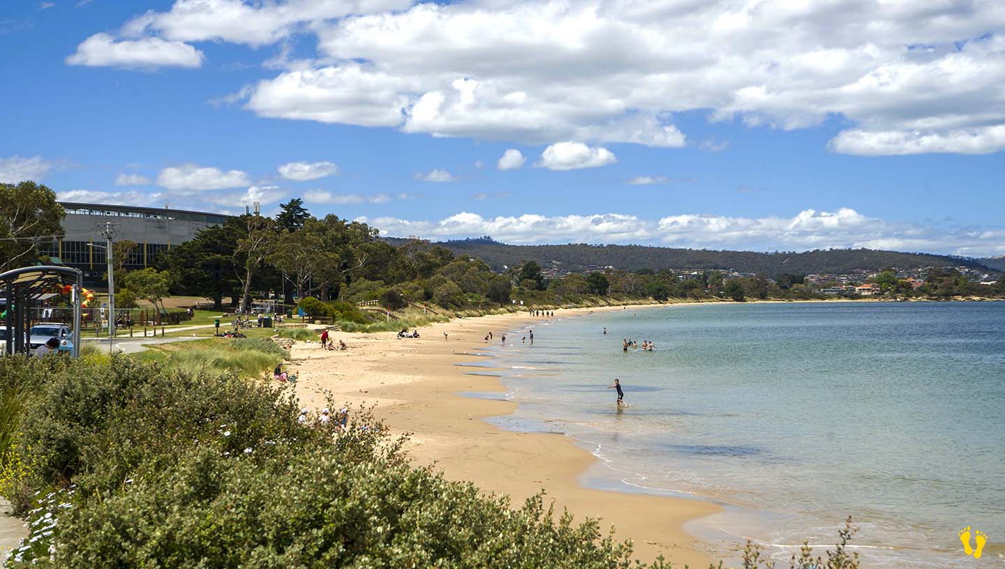
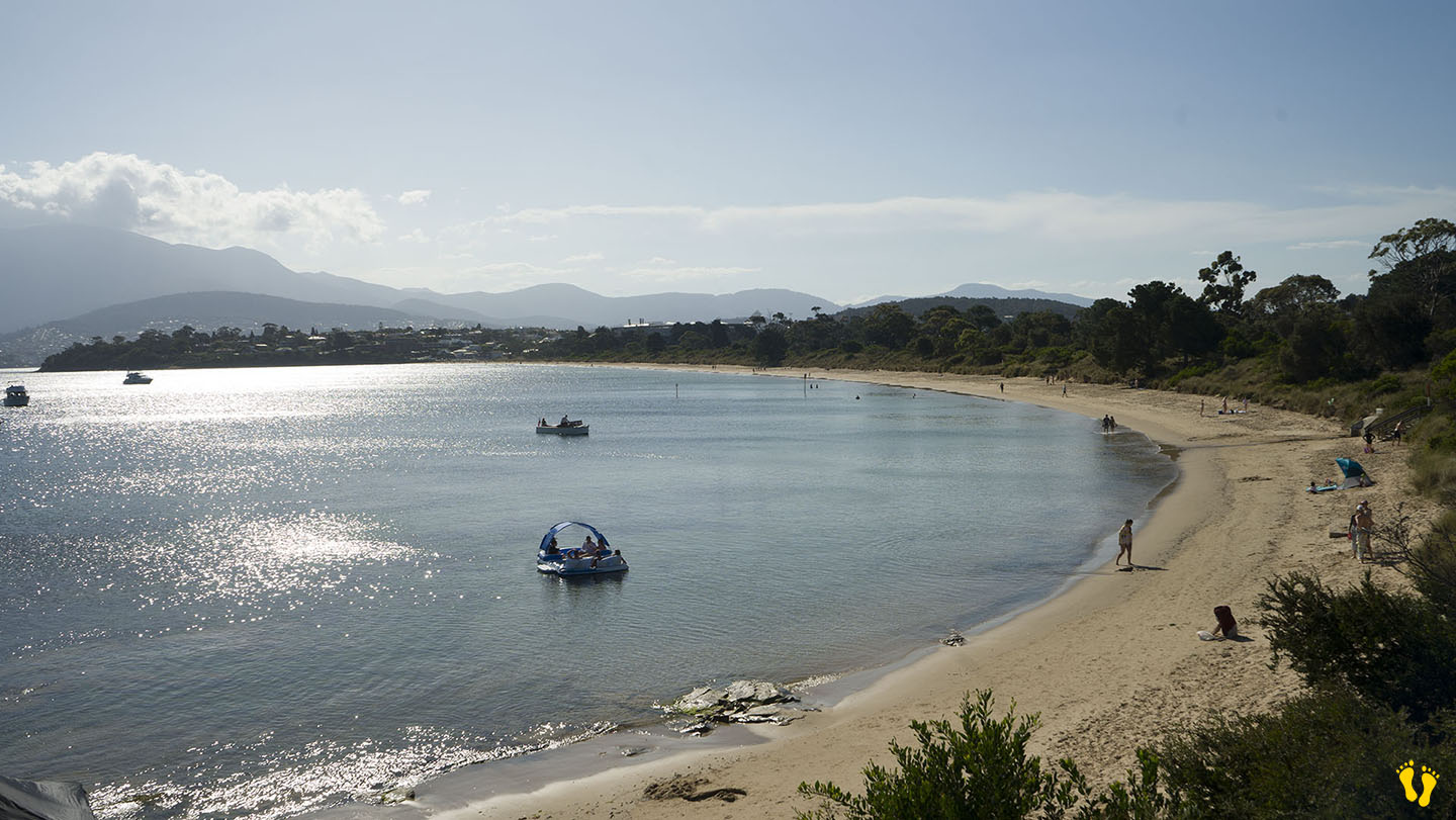
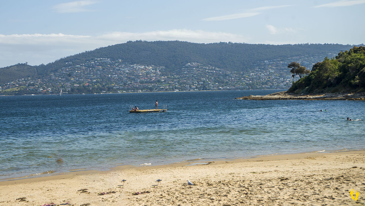
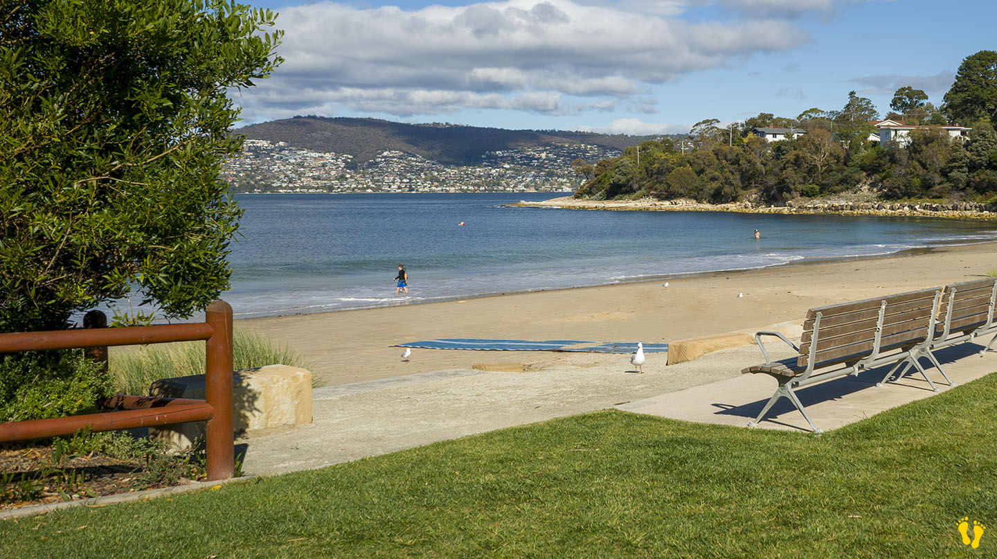
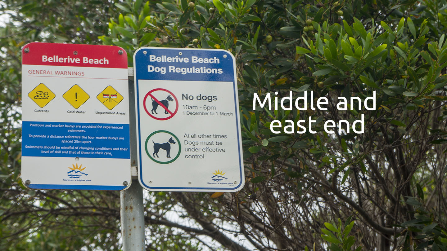
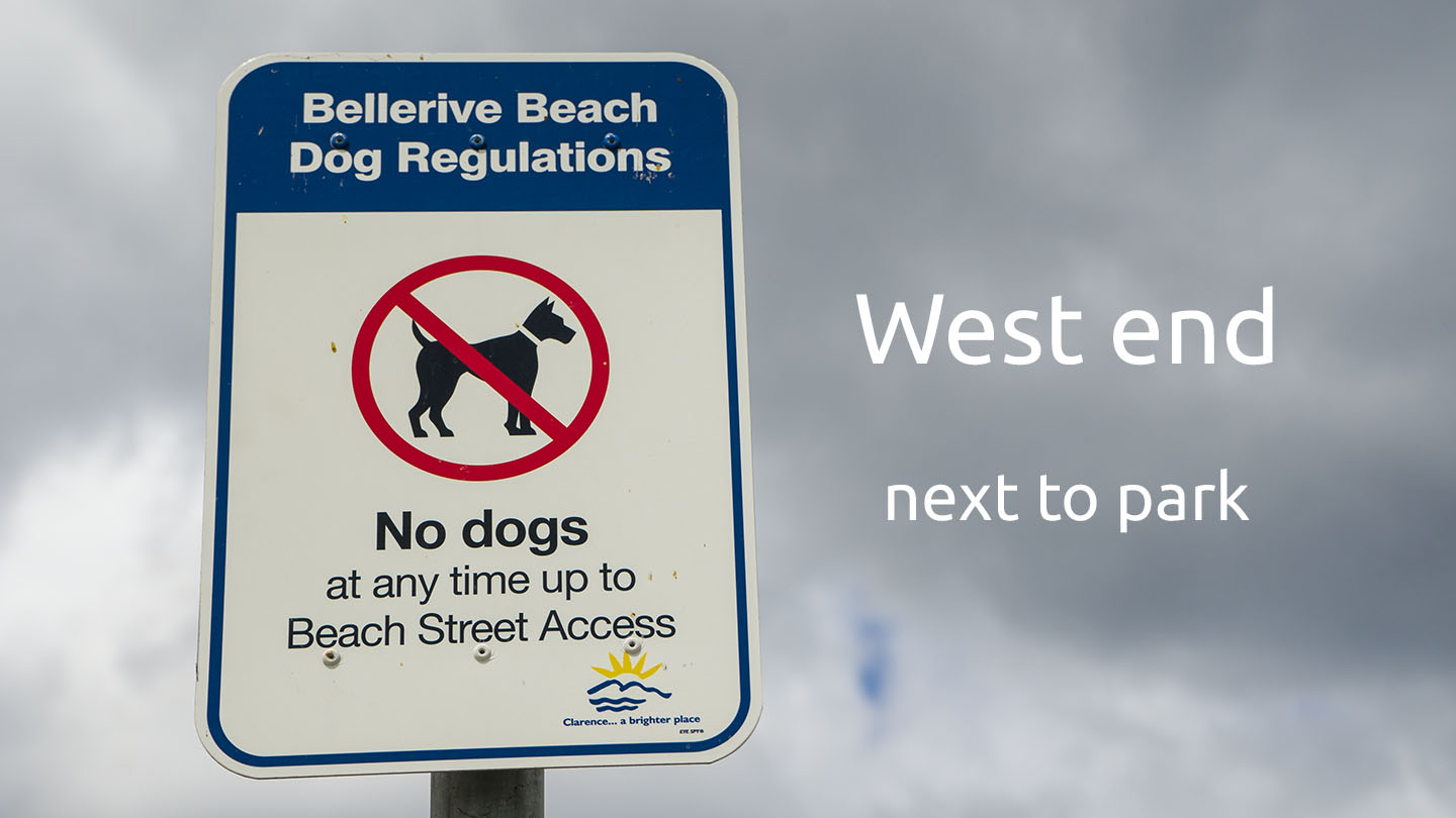
Bellerive Beach is located on the Eastern Shore near Hobart extending from Kangaroo Bluff (west) to Second Bluff (east).
A sheltered beach ideal for families with several entry points and parking along its shore. Part of the foreshore trail, a wonderful walk is along Bellerive Beach, then Second Bluff followed by Howrah Beach.
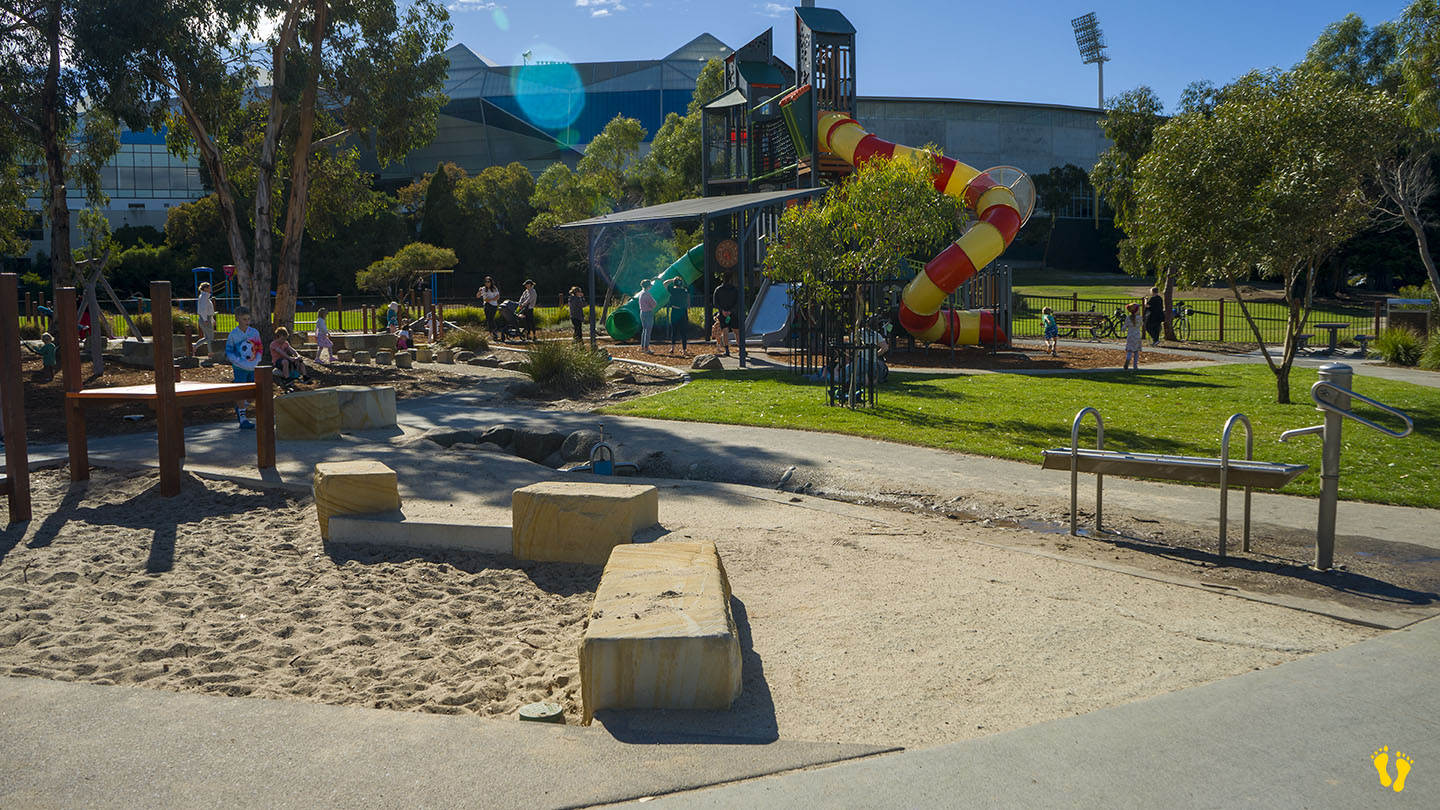
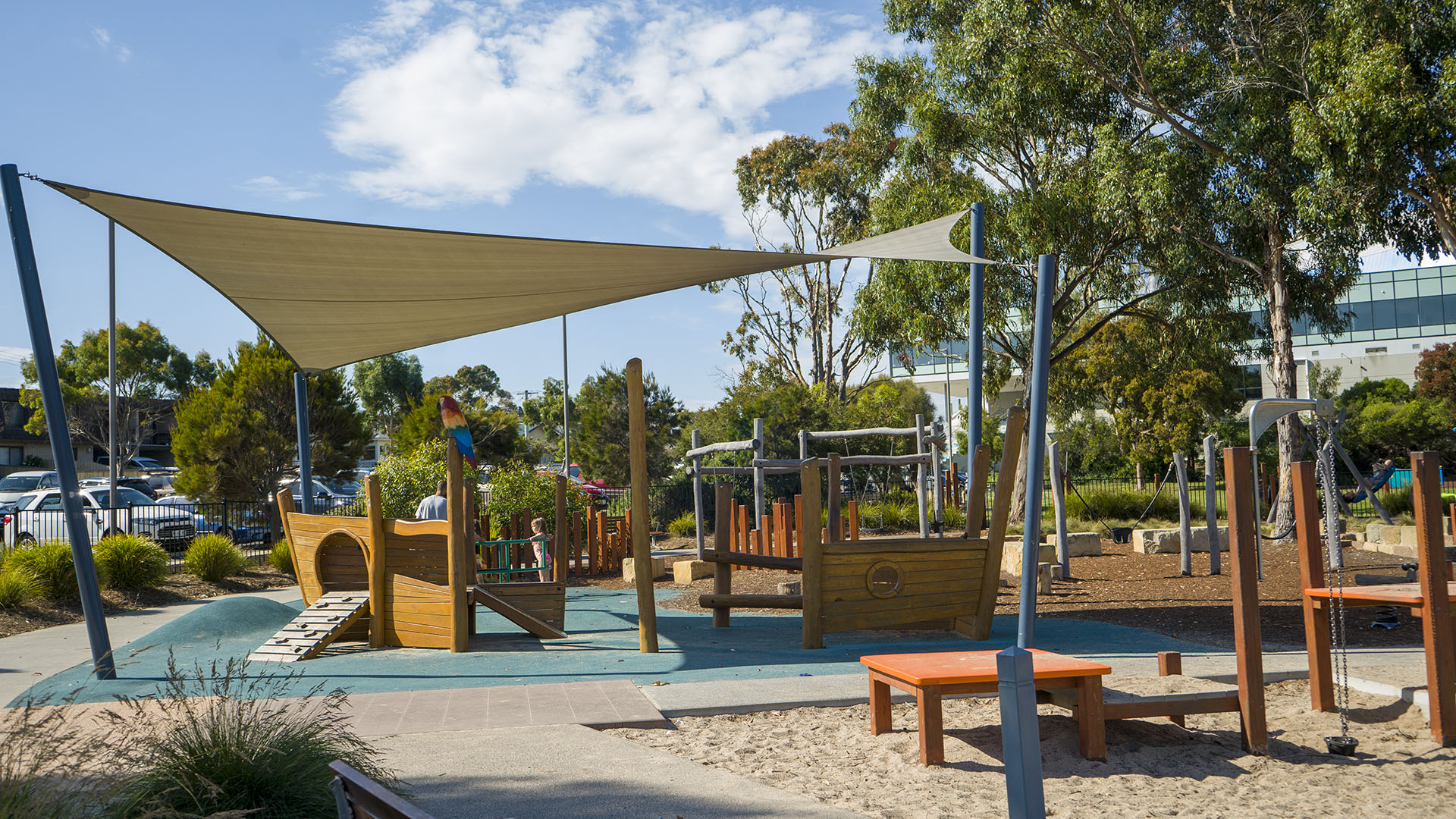
The west end (near Bellerive Oval) has an excellent playground, park, BBQ facilities, and outdoor gym. A well-thought-out beach and park area that includes many things for a diverse group of users including 3 BBQ areas. Wide flat paths ideal for wheelchair access.
It was originally named Kangaroo Point in 1820 and changed to Bellerive in the 1830s. Bellerive is French for ‘beautiful shore or river bank’.
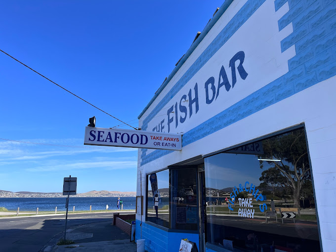
A highly recommended fish & chip shop – The Fish Bar – is also on the foreshore.
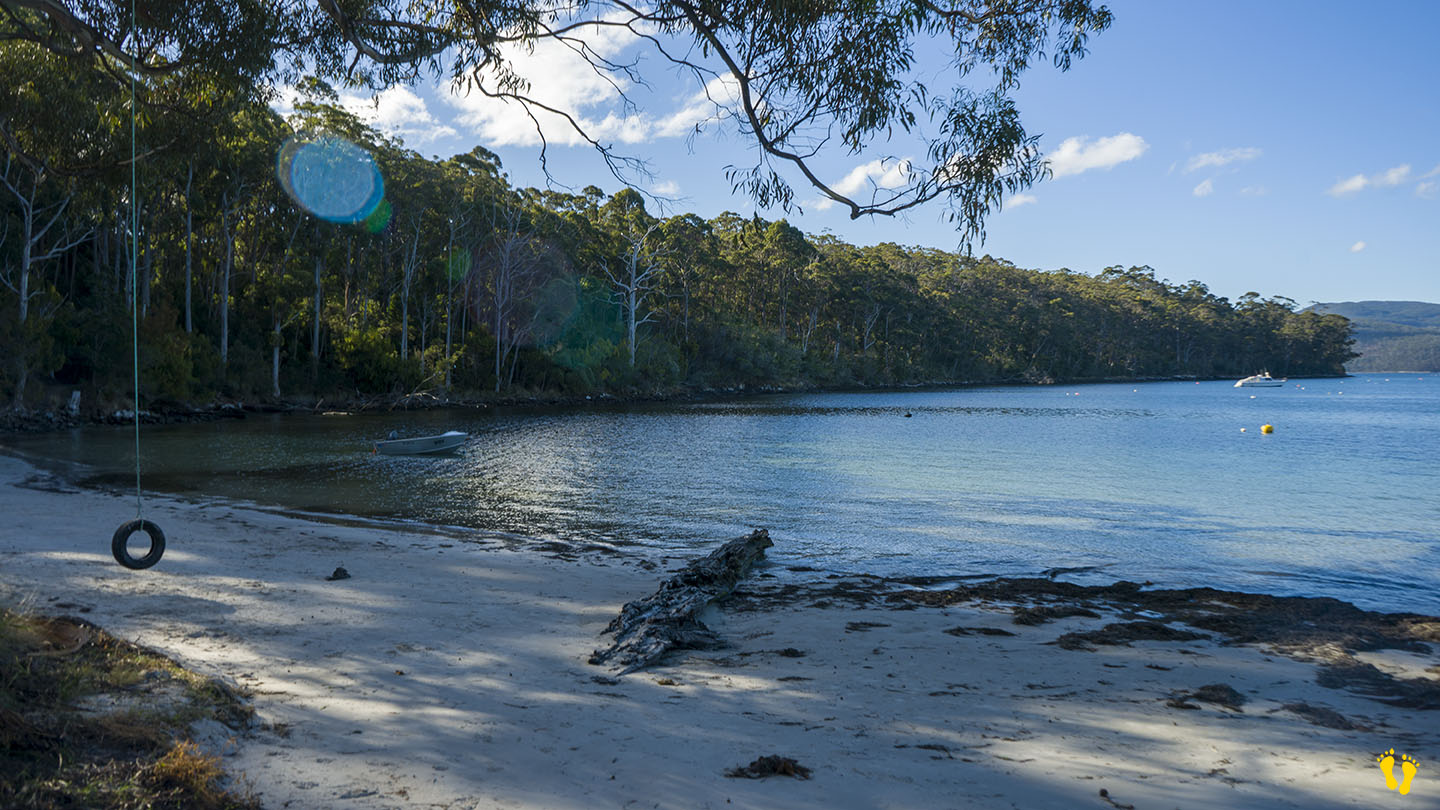
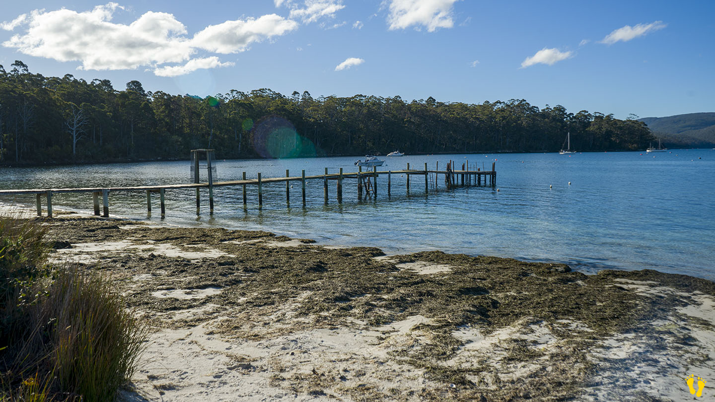
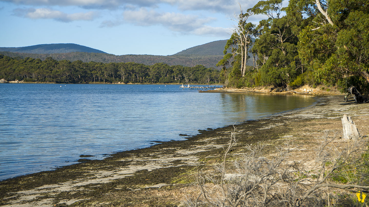
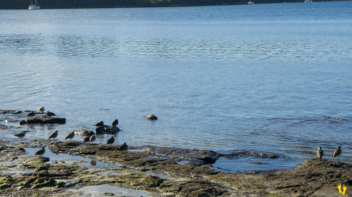
by Mickey Jarvis | May 7, 2024 | Low Hazard, South East, Tasman Peninsula
Near Port Arthur |
Hazard Rating: 1/10 | Parking: Roadside | from Hobart: 92 km | Faces: NE into Carnarvon Bay | Length: 1 km
Original Name: Turrakana, the homeland of the Pydairrerme (Tasman Peninsula’s Aboriginal people)
Big Possum Beach is on the Tasman Peninsula 1.5 km south of Port Arthur on Safety Cove Road on the way to Remarkable Cave.
A small quaint unknown roadside beach ideal for families and kids.
Walk, swim, paddle, swing on an old-style tire swing, walk out on a somewhat suspect jetty or watch bird life while taking in the stunning views across Carnarvon Bay.
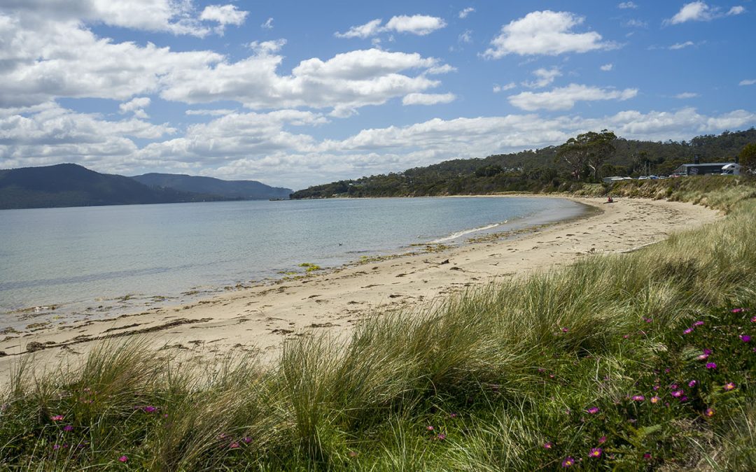
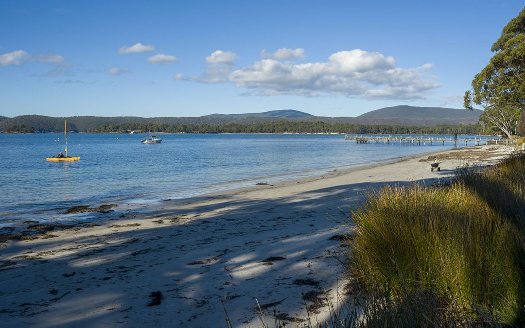
by Mickey Jarvis | Mar 2, 2025 | East Coast, Low Hazard, St Helens
Near: St Helens | from Hobart: 250 km | Launceston: 175 km
Hazard Rating: 1/10 | Parking: Good | Faces: into Burns Bay | Length: 100 m
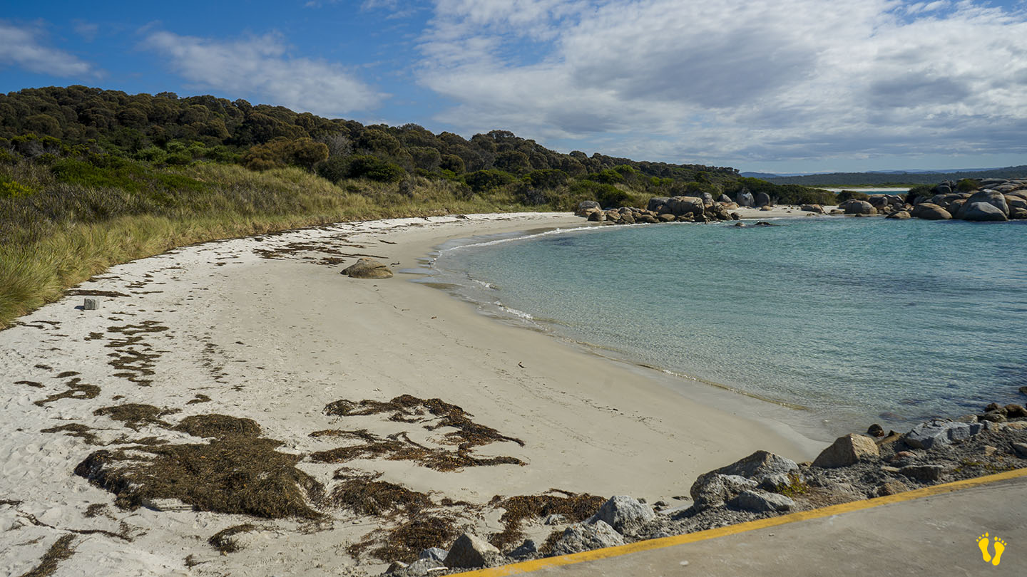
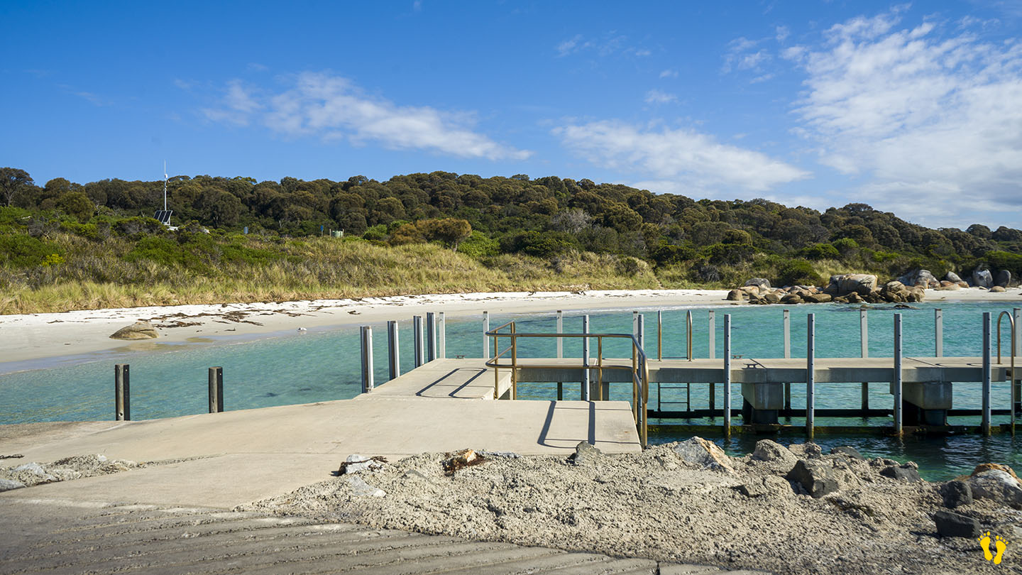
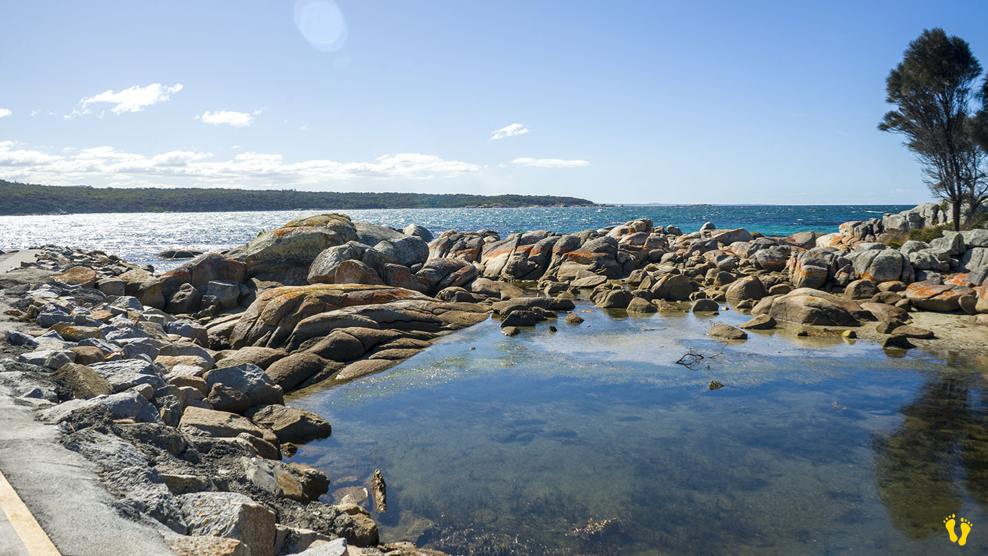
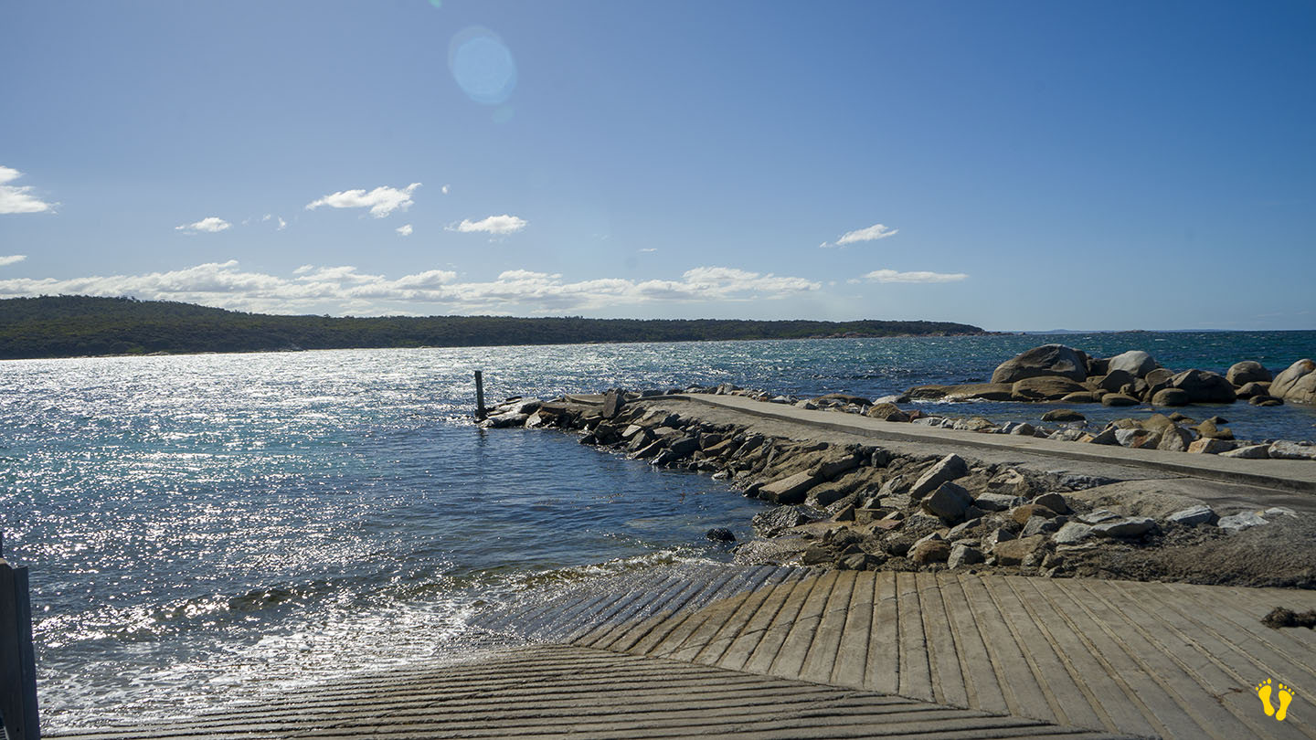
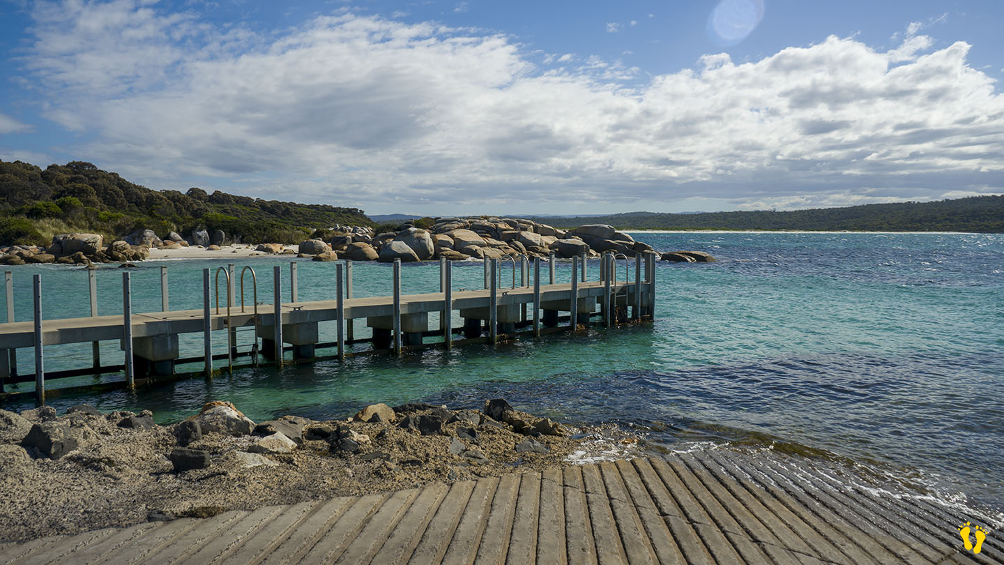
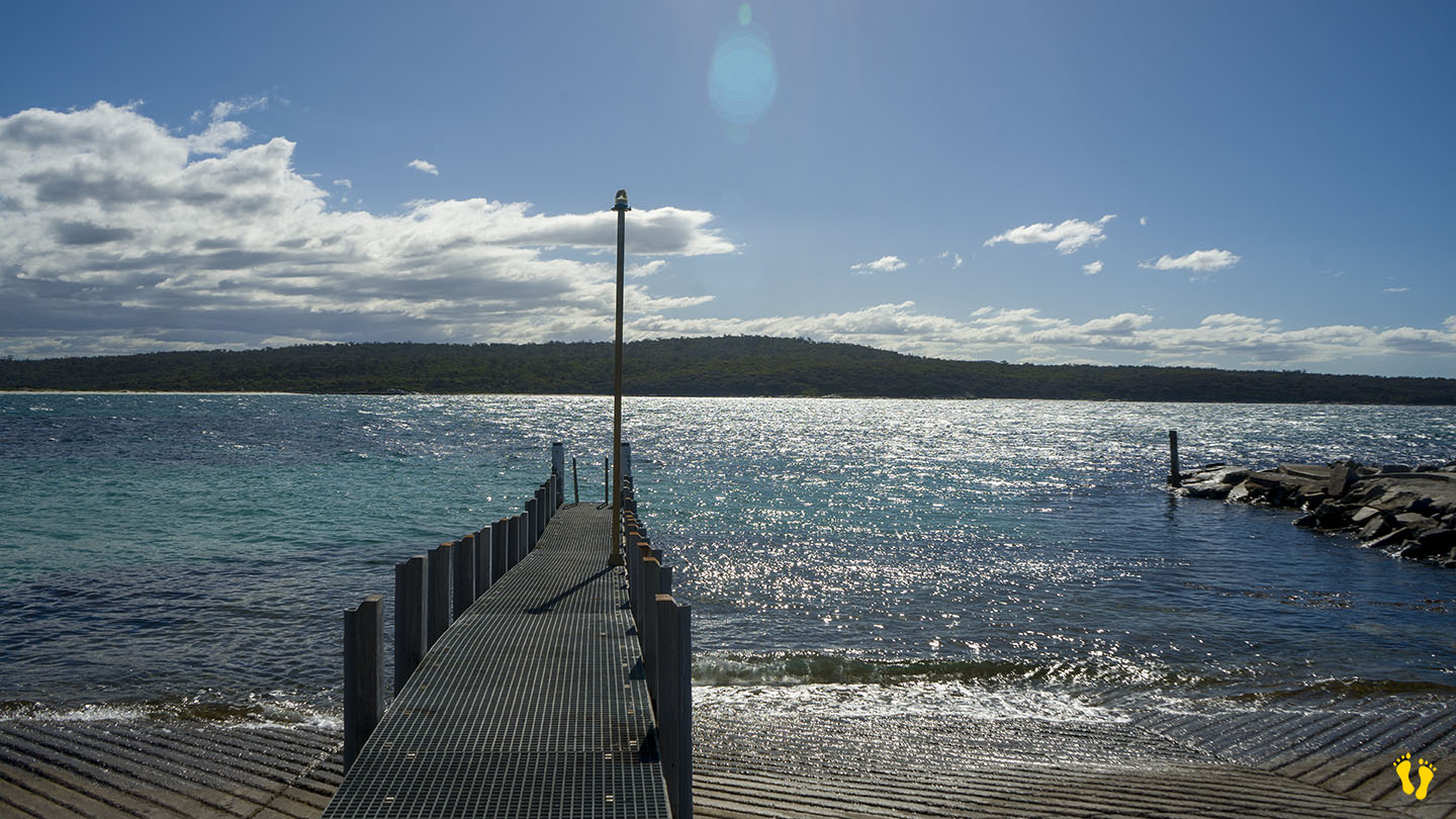
Burns Bay is a beach and boat ramp located at the end of St Helens Point Road on the peninsula NE of St Helens.
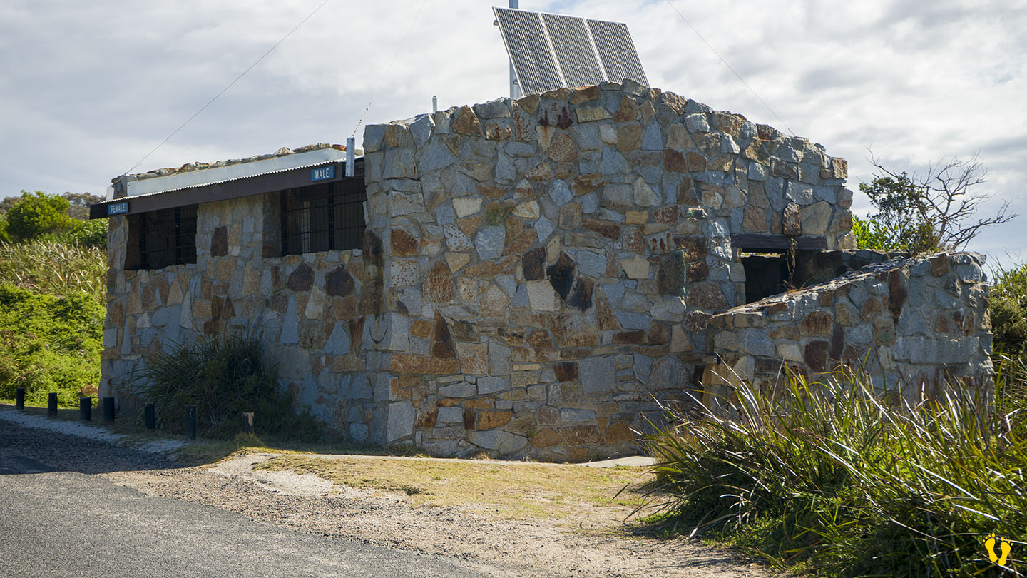
Located in a small protected bay, great for a swim or snorkel. A popular boat ramp with an interesting rock-built toilet block.
Named after a resident, Robby Burns.
Ignore some of the Google Maps markers as they are wrong – e.g., Beer Barrel Beach.
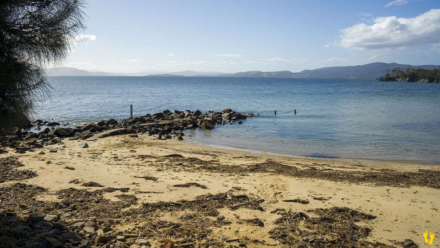
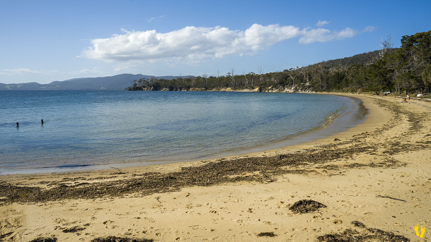
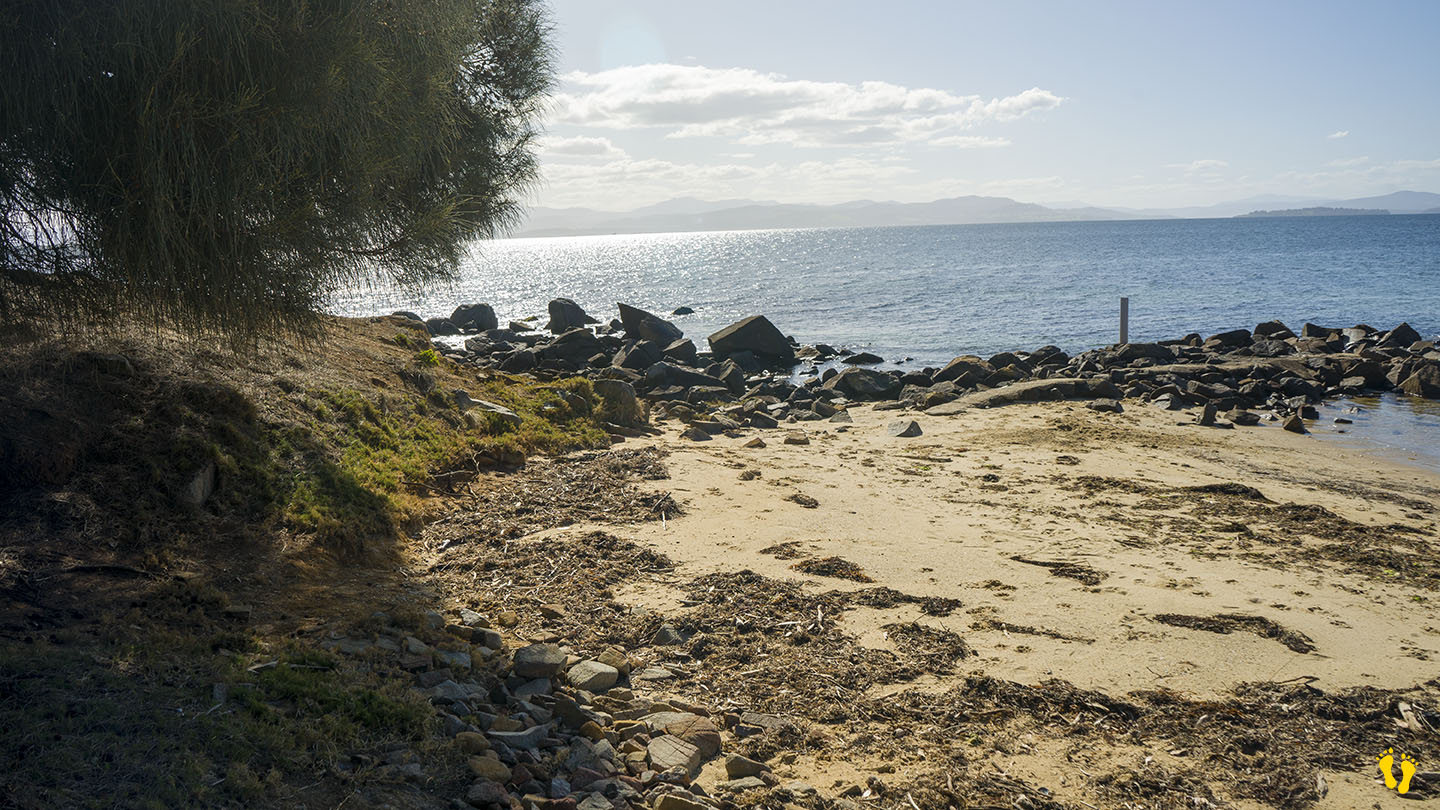
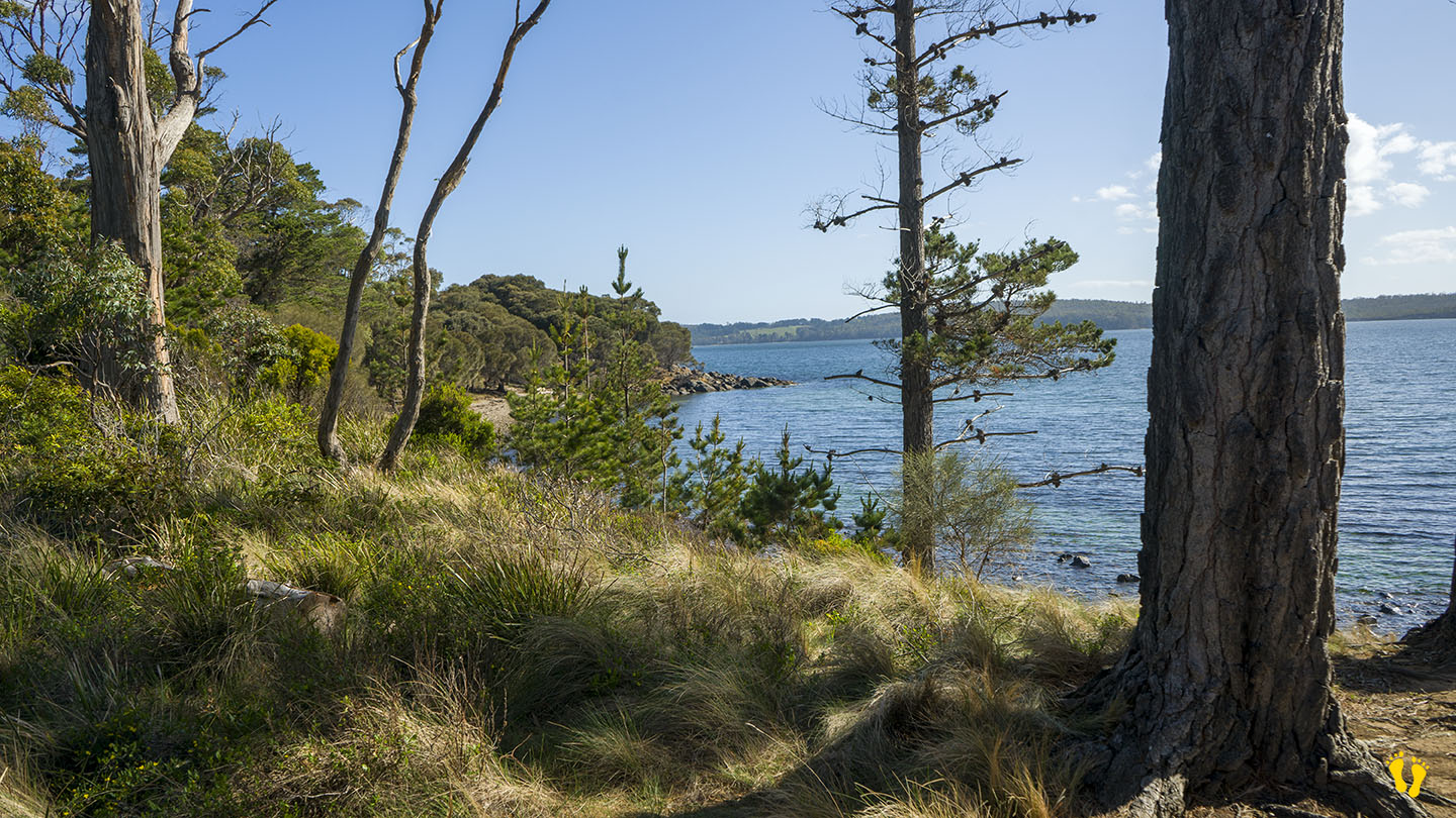
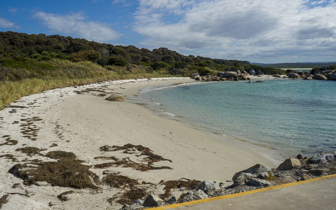
by Mickey Jarvis | Nov 24, 2024 | Bruny Island, Low Hazard
Bruny Island | Hazard Rating: 1/10 | Parking: Good + close | Faces: West-ish into Little Taylor Bay | Length: 500 m
Original People: Nuenonne | Original Name: lunawannalonna (Bruny Island)
A small safe generally unknown beach about 3 km north of Lunawanna that is protected and great for families with small kids.
Named after a small cemetery at the end of the road – access via Cemetary Road just north of Lunawanna.
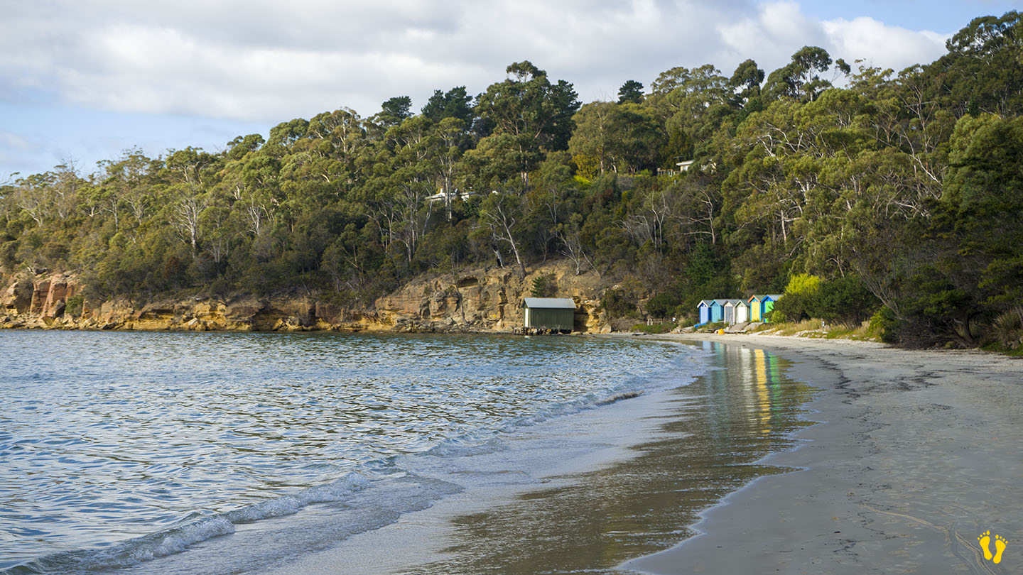
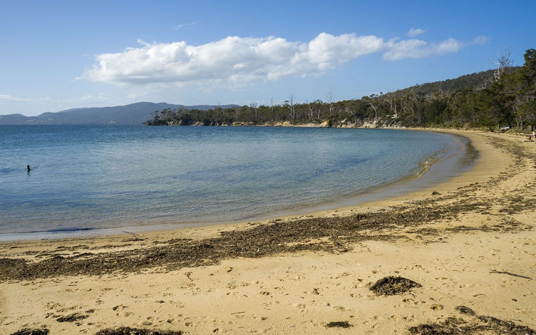
by Mickey Jarvis | May 20, 2023 | Low Hazard, South
Channel Highway south of Snug |
Hazard Rating: 2/10 | Parking: Good + close | from Hobart: 28 km | Faces: NE into North West Bay | Length: 500m
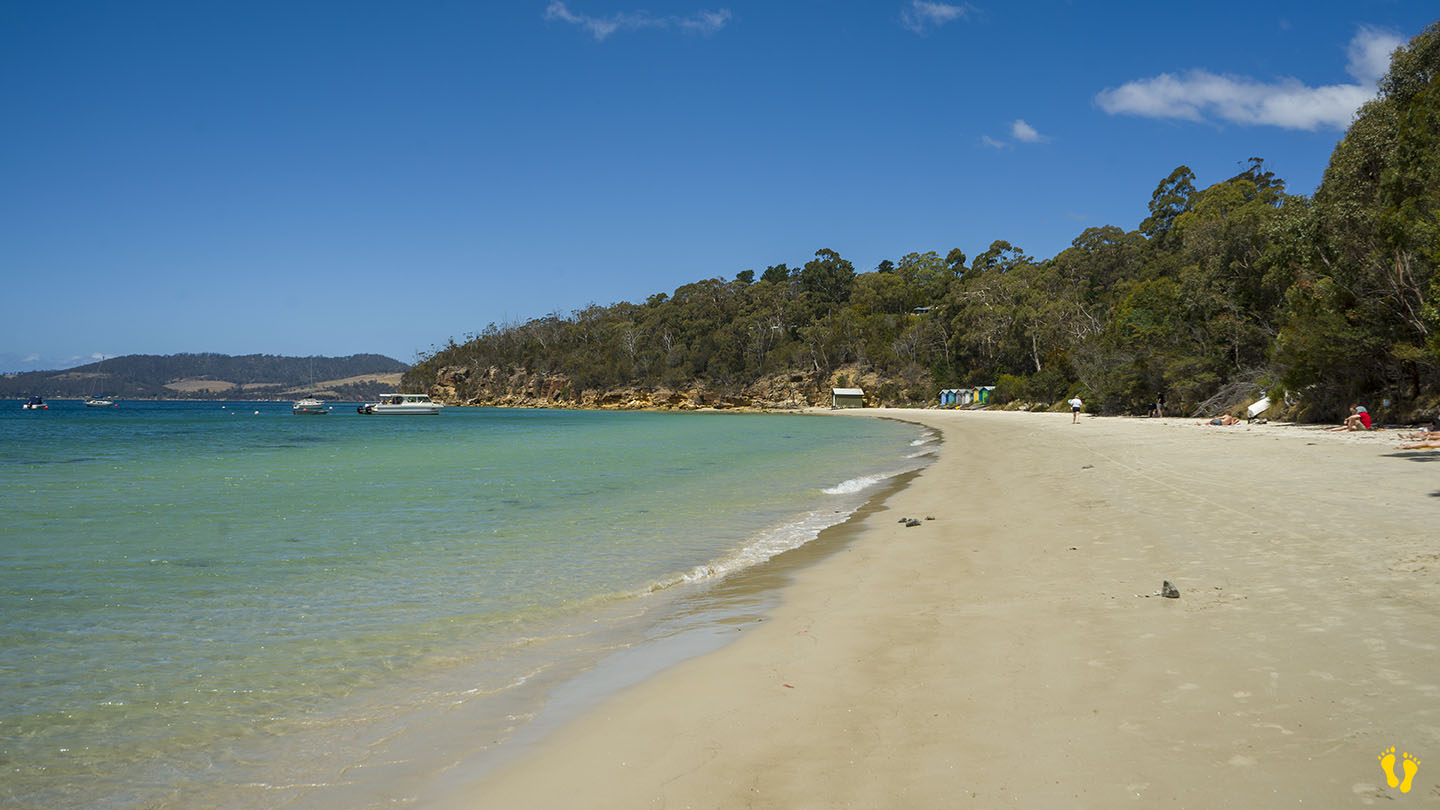
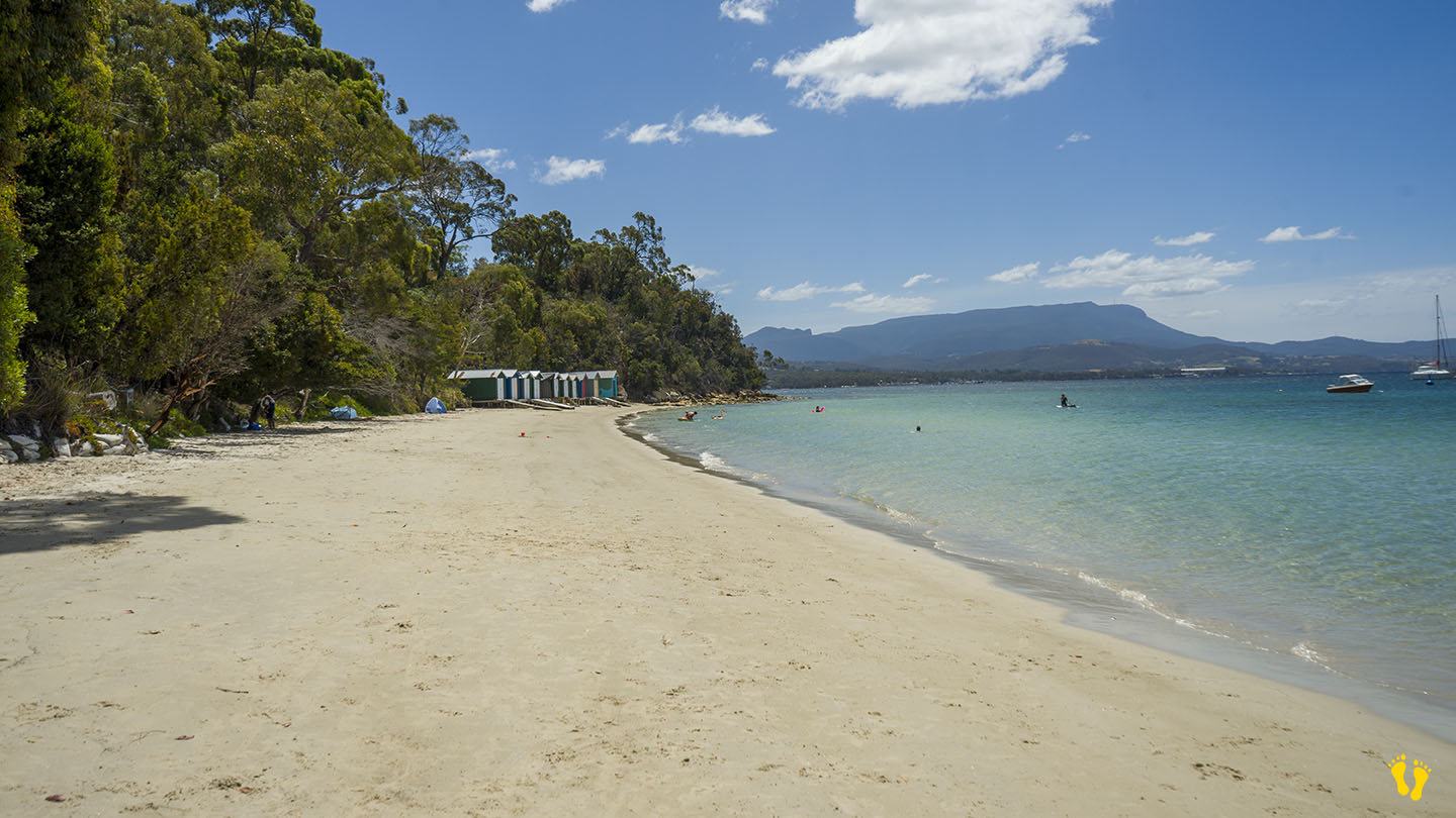
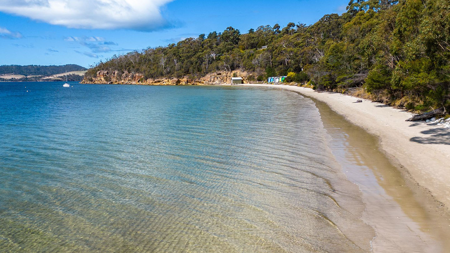
A lovely beach just south of Snug. Usually well protected with good amenities.
Wonderful views of Kunanyi, Tinderbox and Bruny Island. Check out the clifftop track.