by Mickey Jarvis | Mar 13, 2023 | Dodges / Carlton, Low Hazard
South of Carlton |
Hazard Rating: 1/10 | Parking: OK | from Hobart: 50 km | Faces: SW into Frederick Henry Bay | Length: 1 km
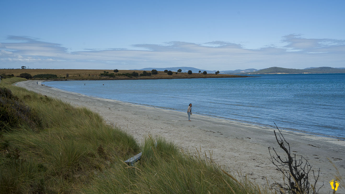
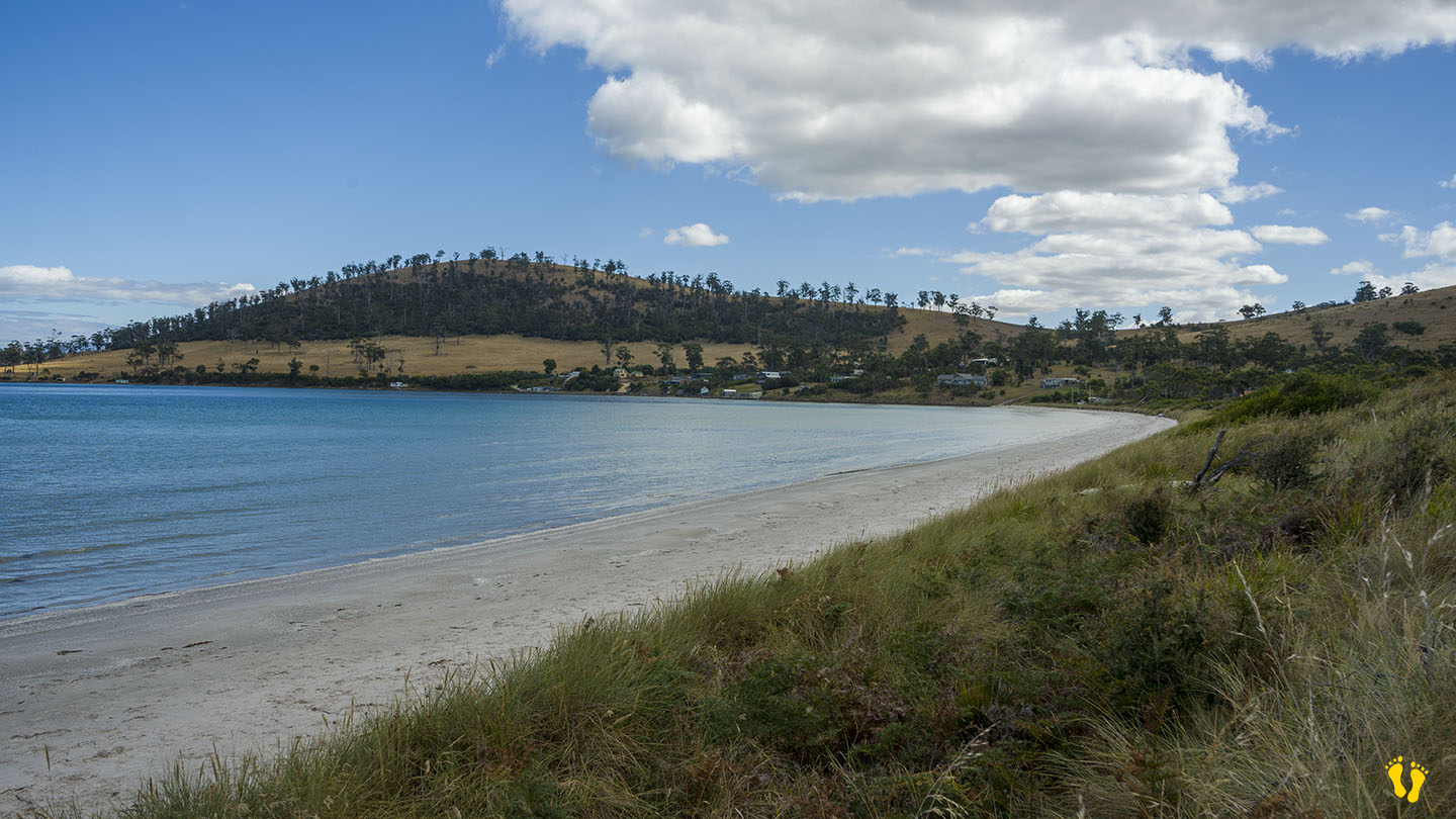
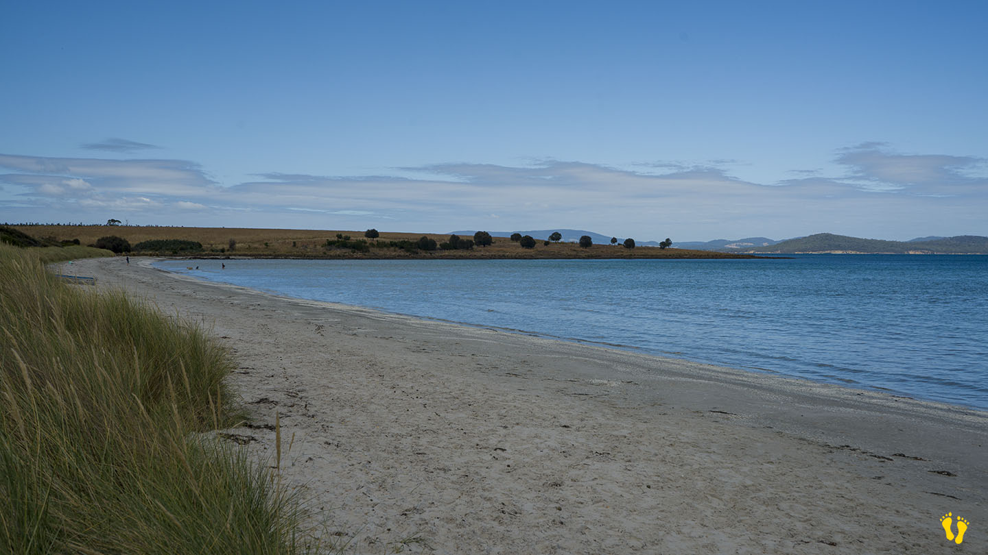
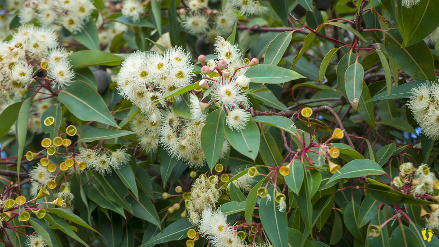
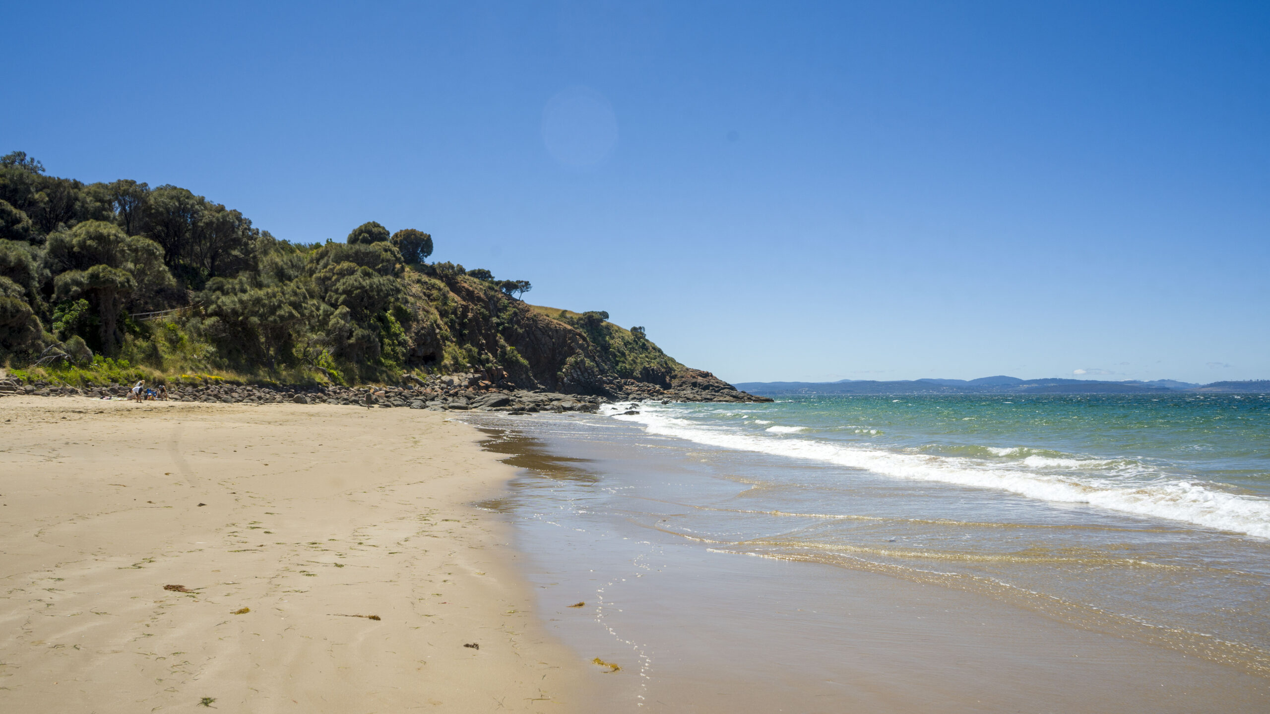
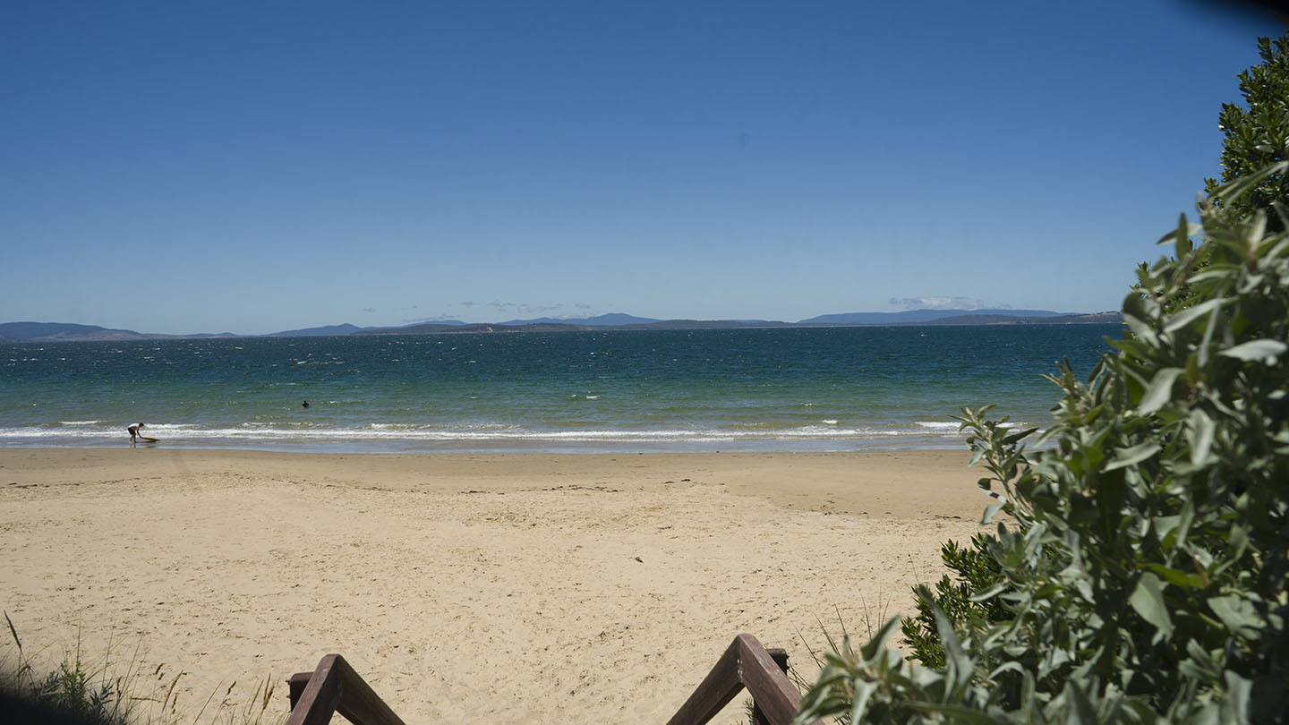
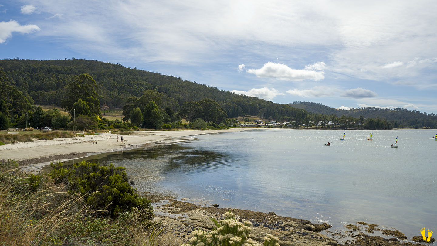
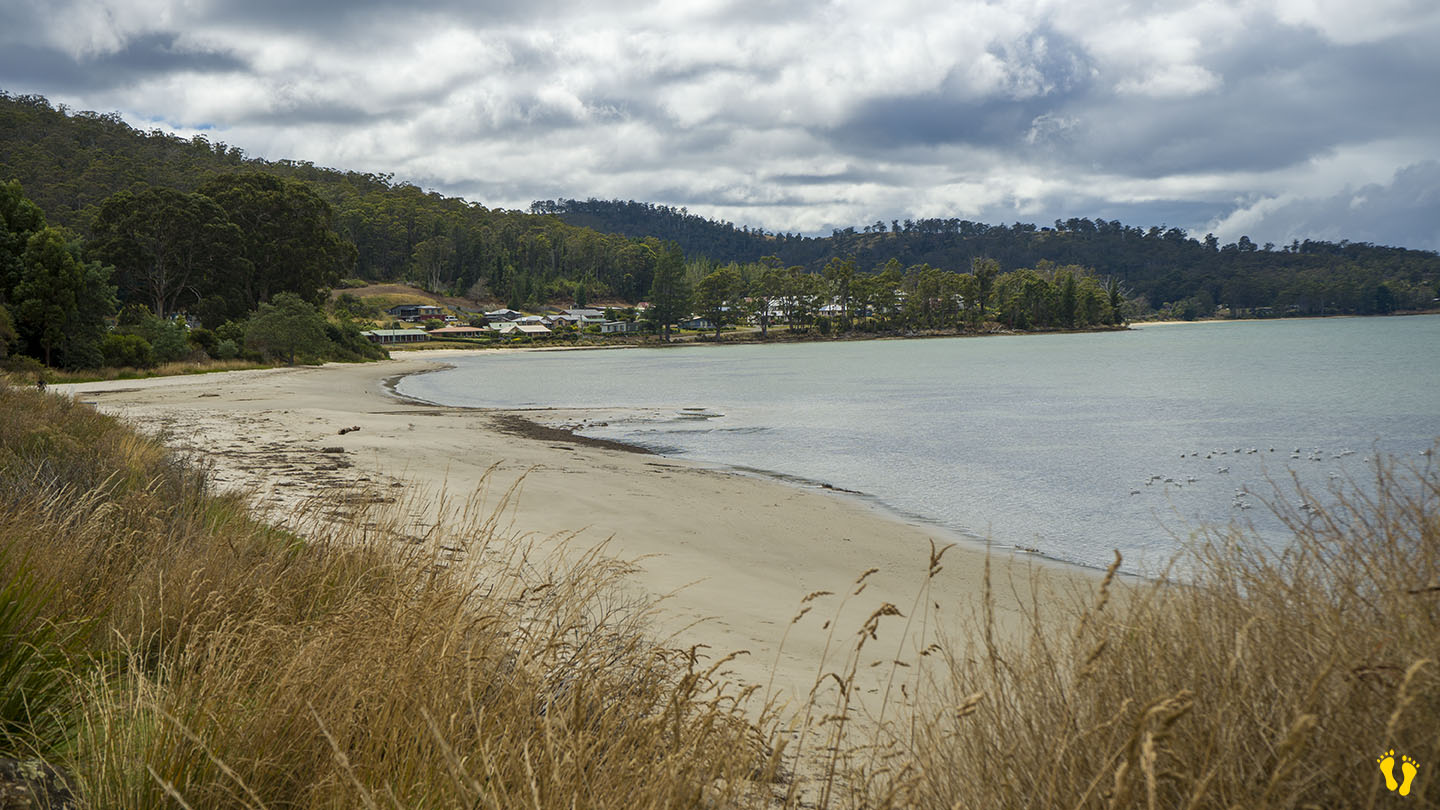
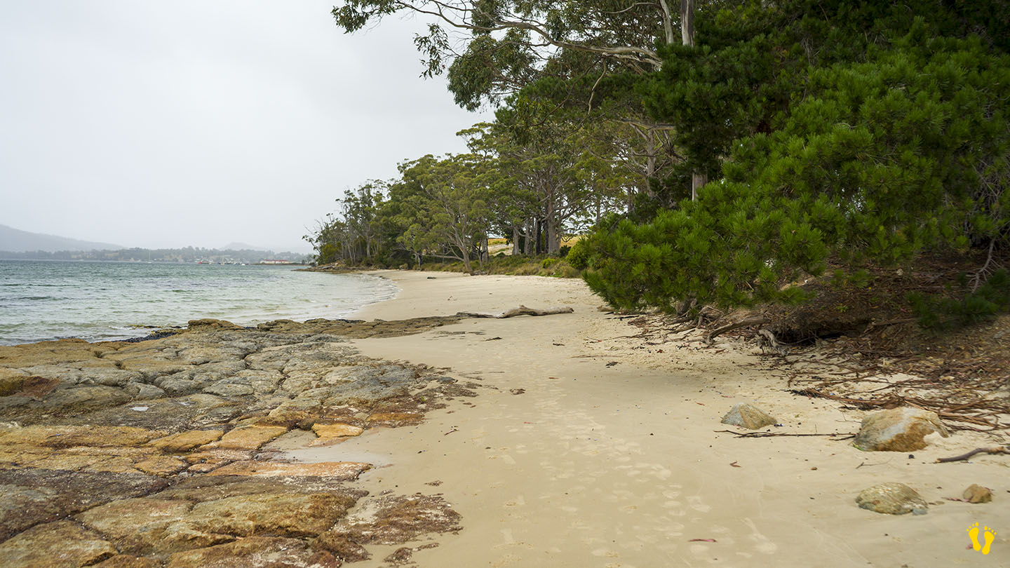
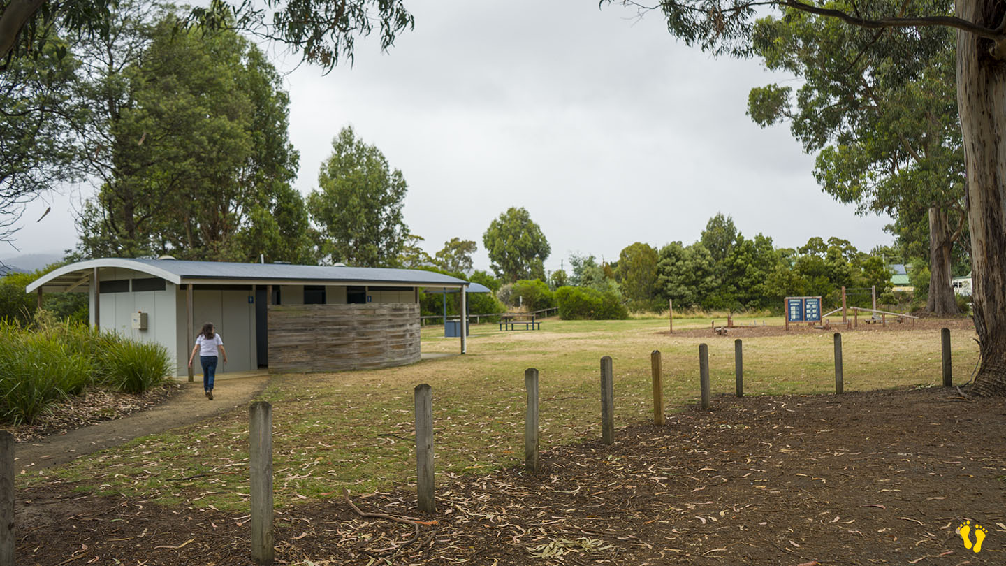
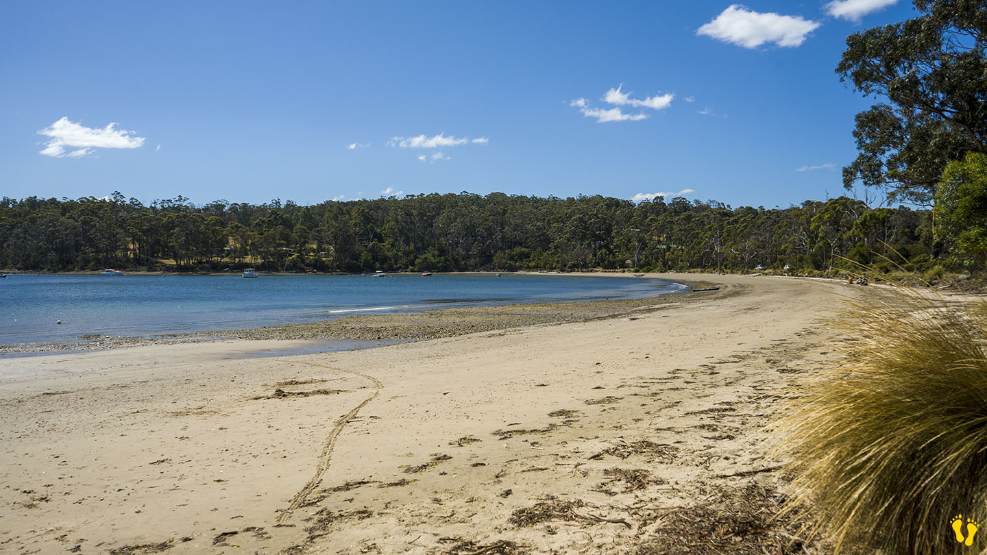
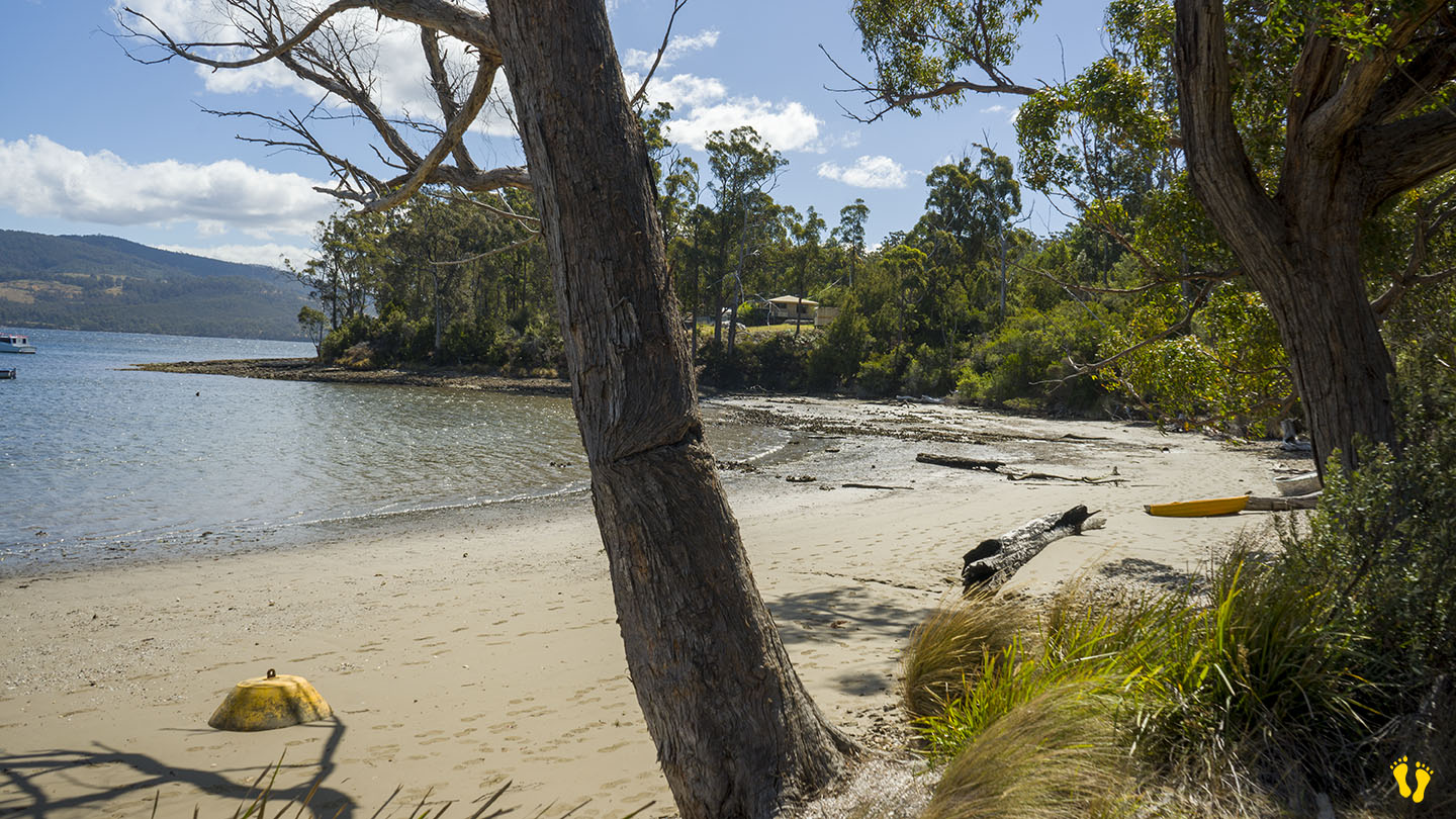
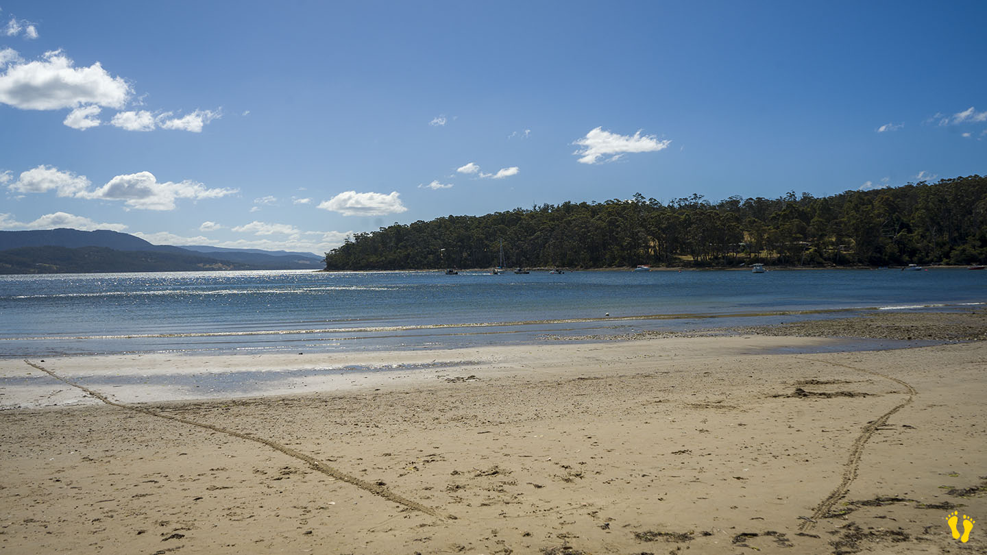
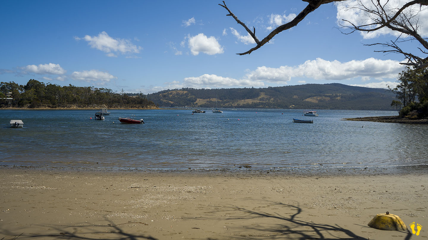
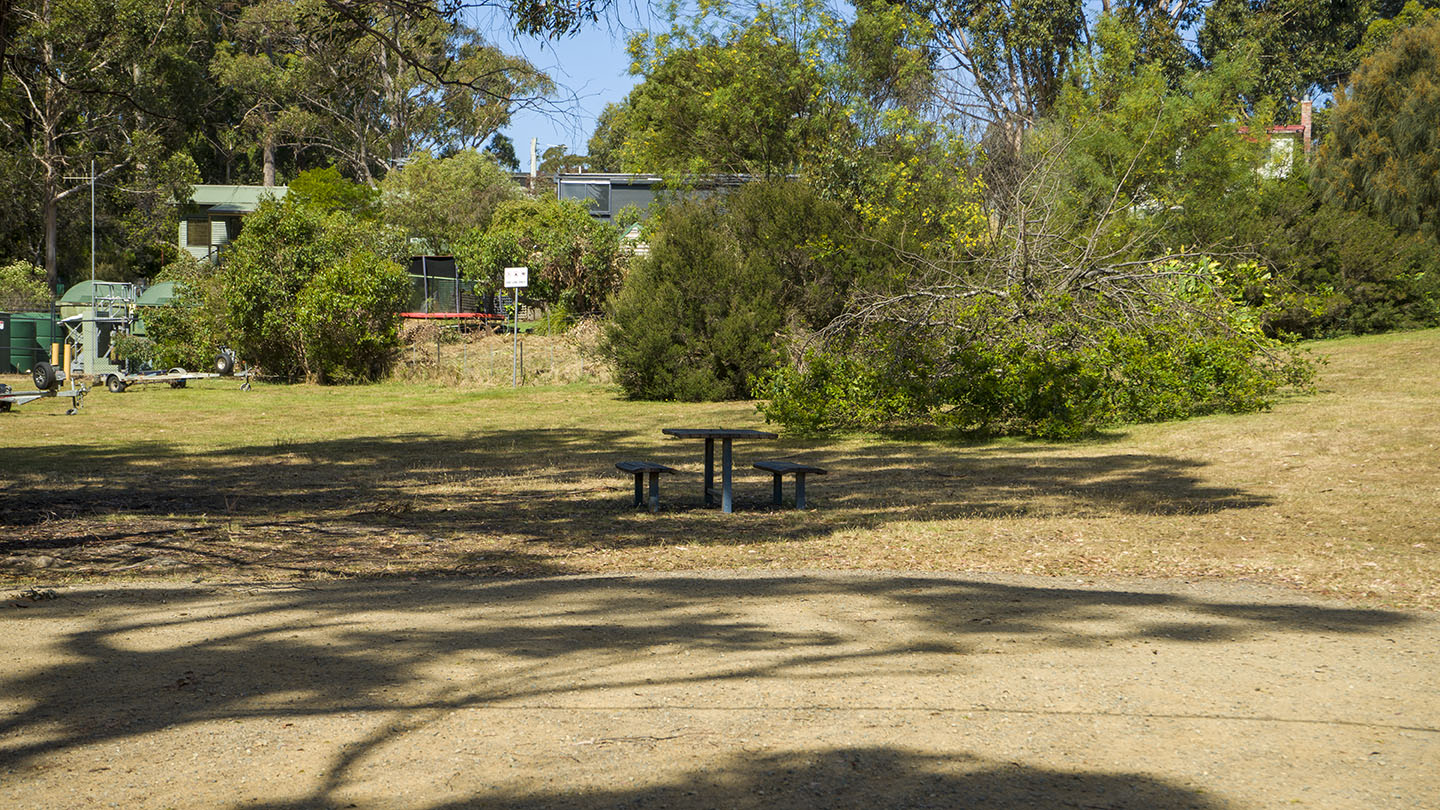
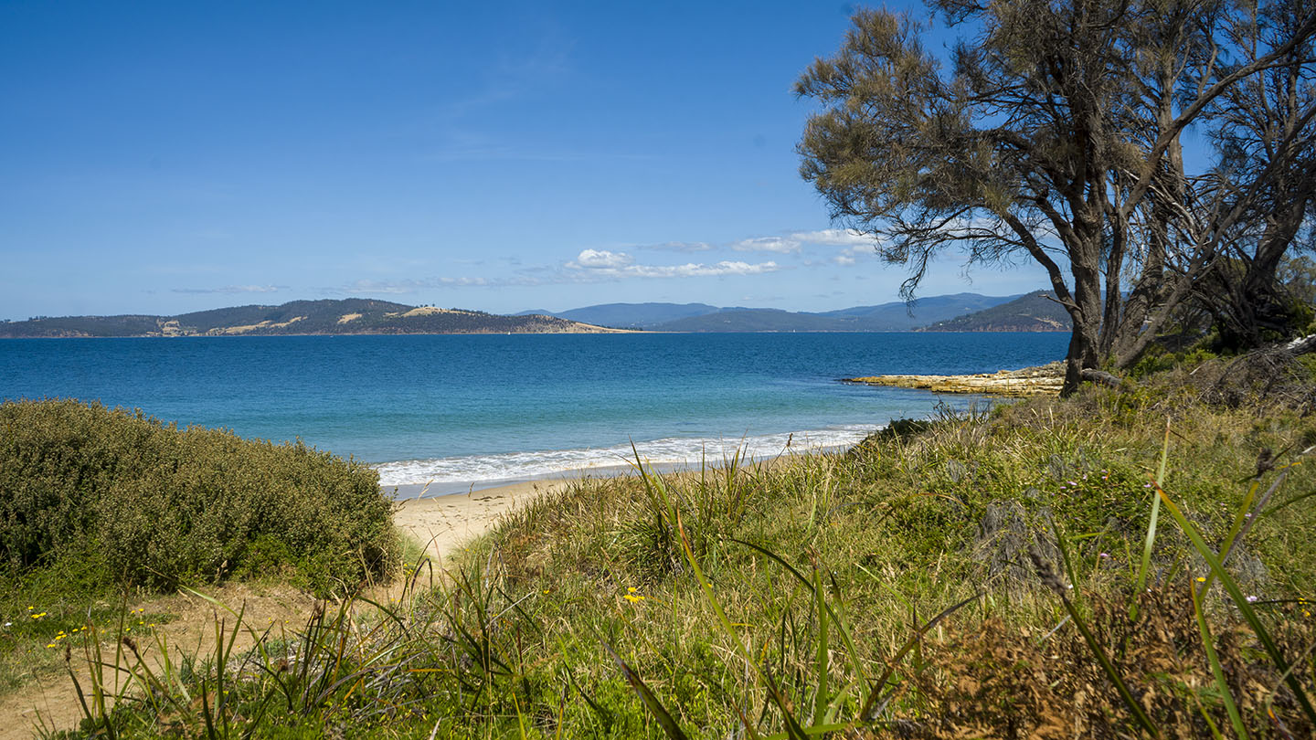
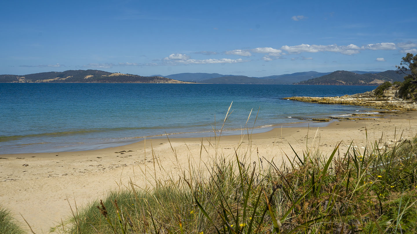
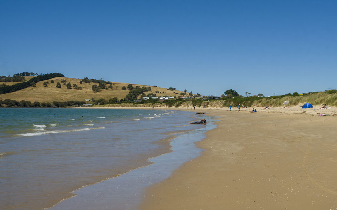
Not far from Carlton this is an unknown secluded beach that few people know about. Enter via Beach Road and head left. The beach is a 100 m walk but well worth it. Note the interesting flora walking in.
Connellys Beach is also referred to and is part of Connellys Marsh and Connellys Bay.
by Mickey Jarvis | Jan 10, 2023 | Low Hazard, South Arm Road
South Arm Road | Hazard Rating: 3/10 | Parking: Good + close | from Hobart: 27 km | Faces: East into Frederick Henry Bay | Length: 1.3 km
Original People: Moomairemener.
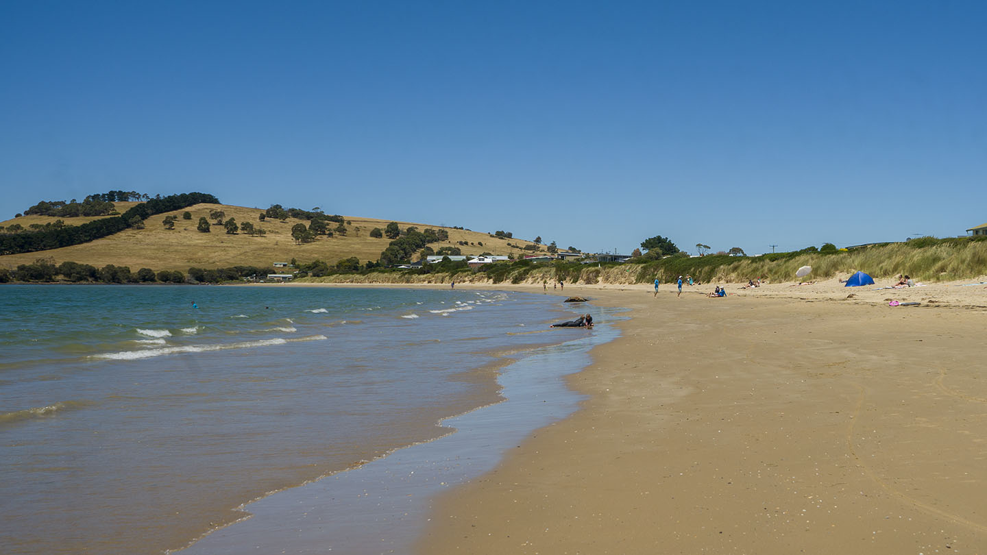
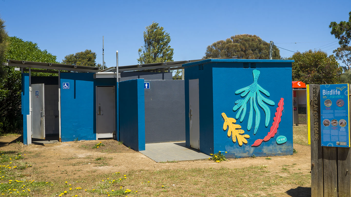
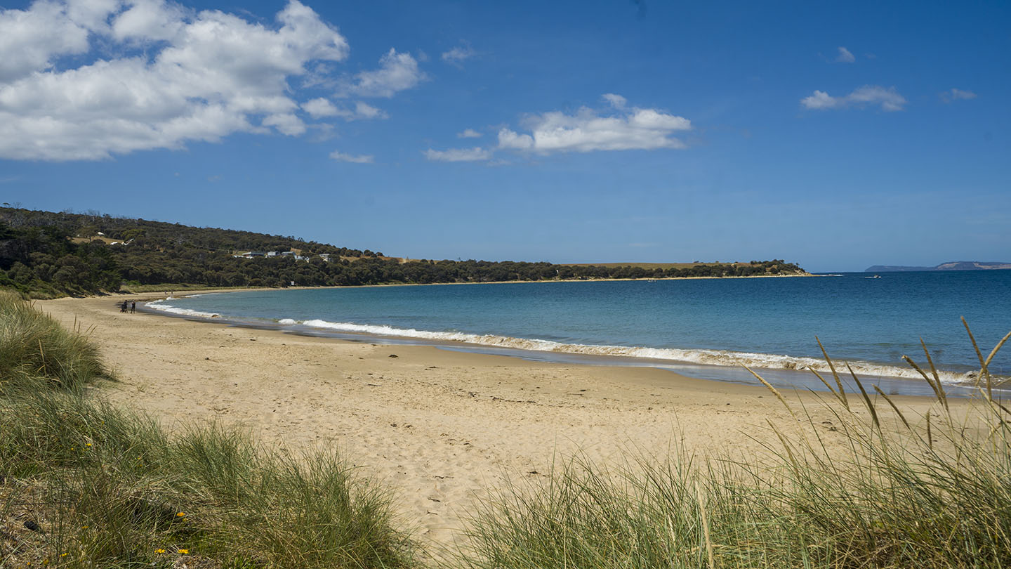
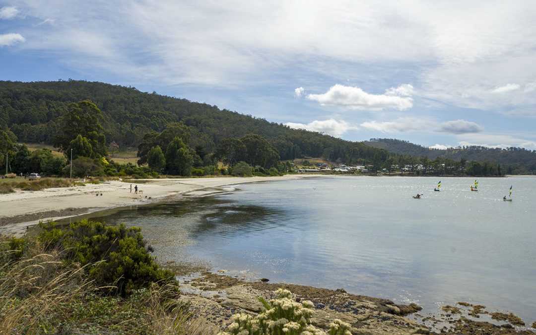
A great family beach with a sweeping gradual gradient beach. Amenities at the south end.
The name was changed to Cremorne from Pipe Clay in 1968 and named after Alfred Morrisby’s wife’s former home in Sydney.
Remnants of the SS Nubeena shipwreck are still visible at low tide.
by Mickey Jarvis | Feb 9, 2024 | Low Hazard, South
South past Huonville |
Hazard Rating: 1-2/10 | Parking: Good + close | from Hobart: 80 km | Faces: SE into Port Esperance | Length: 2 km
Original people: Lyluequonny people of the Far South
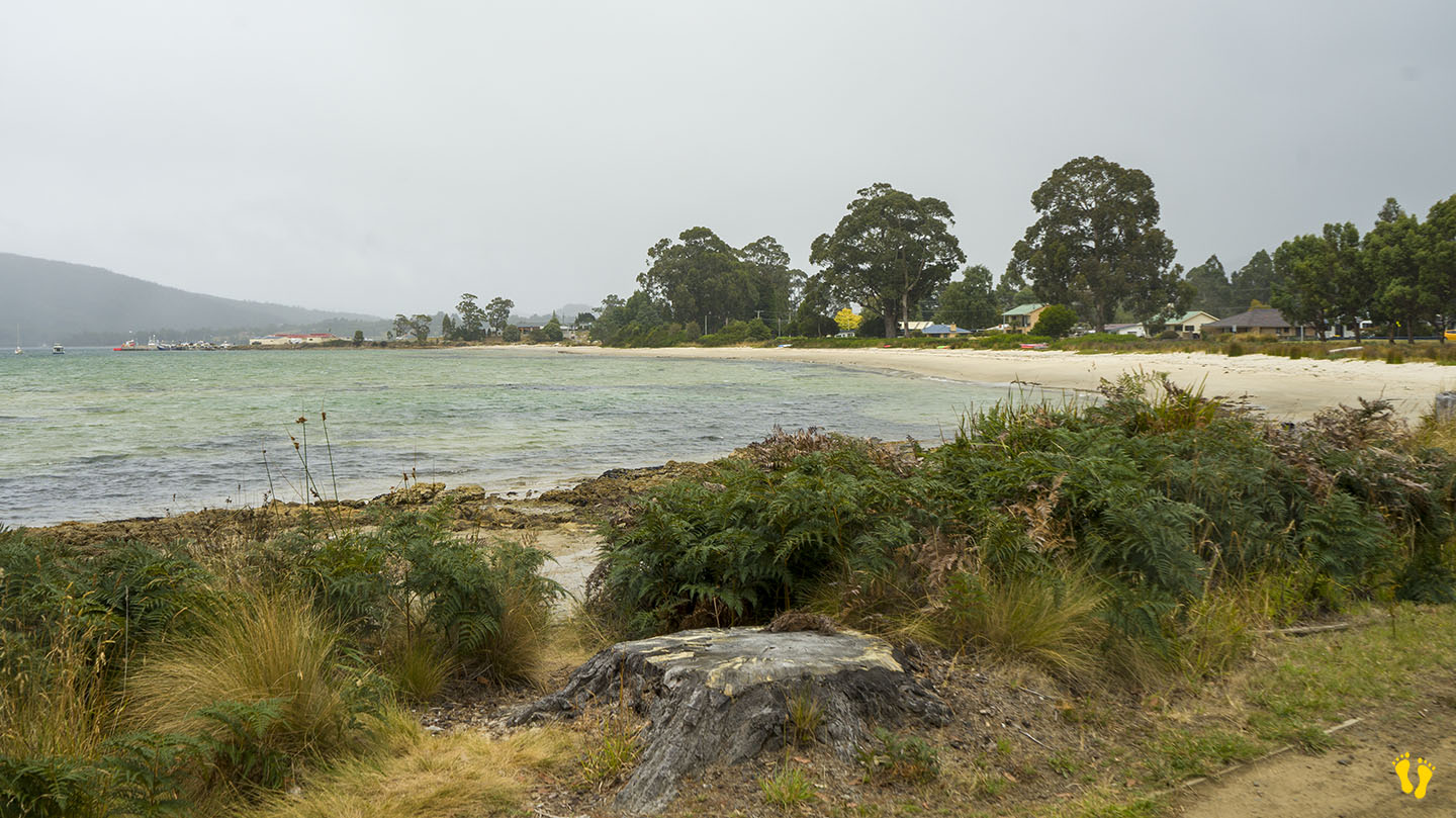
Dover Beach is accessed from the township of Dover, head down Station Road to the Esplanade and then Kent Road along its length.
Technically Kent Beach is separate from Dover Beach but I have grouped both beaches for simplicity.
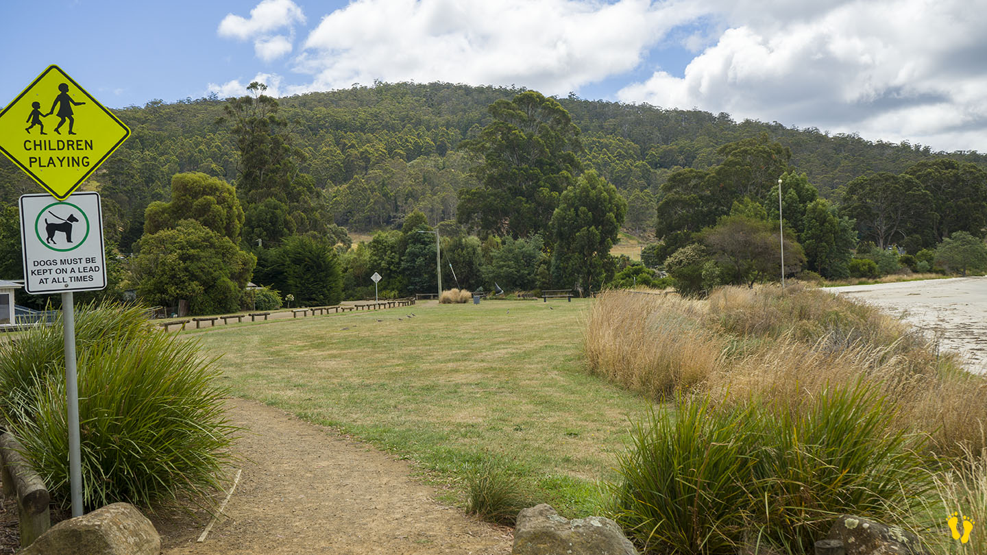
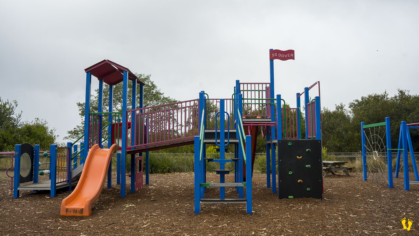
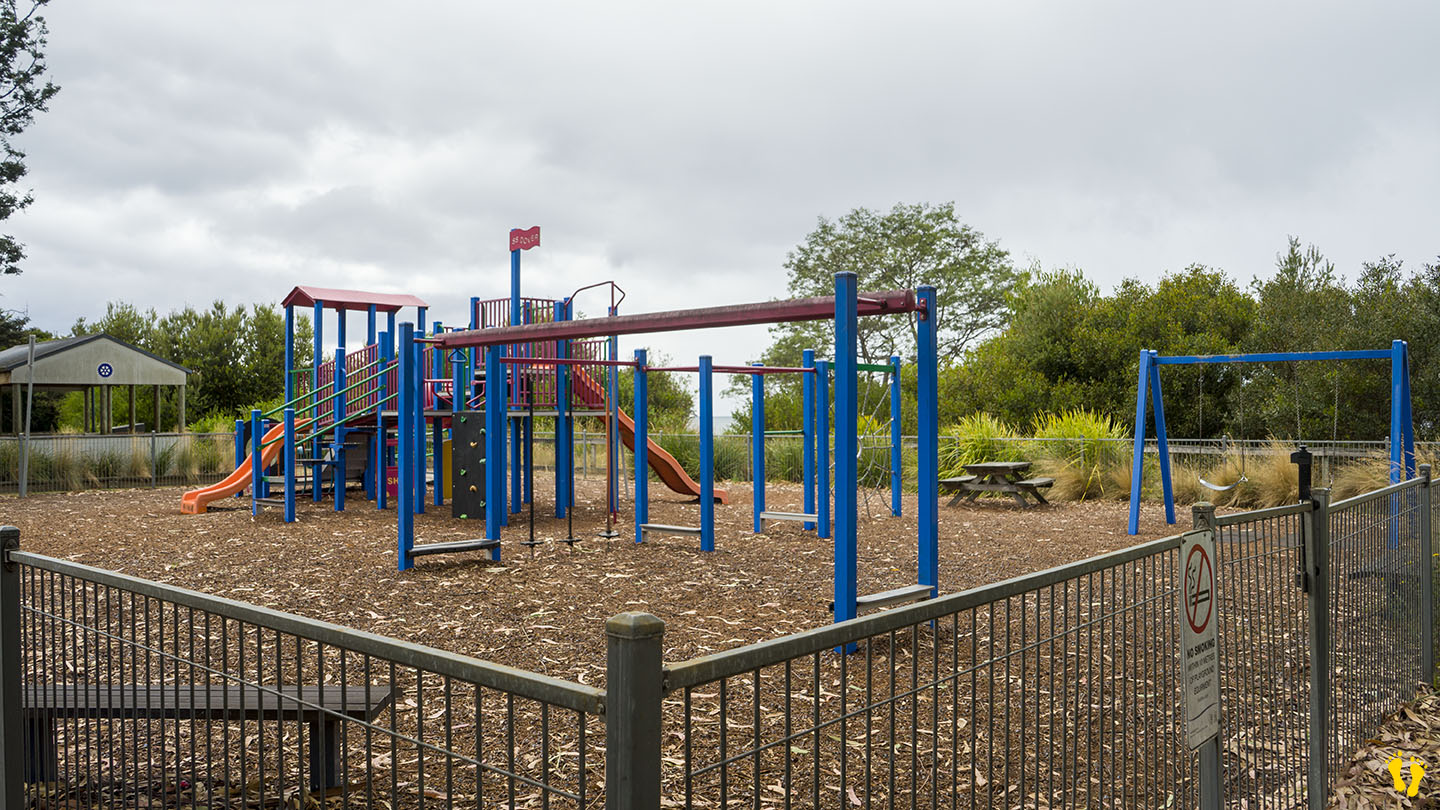
This is a long, safe beach with sandy areas and interesting shore rock formations for exploring. It is ideal for kids, and it includes a playground, BBQ, grassy areas, and toilets.
Dover was originally named Port Esperance by the French explorer Admiral Bruni D’Entrecasteaux, who charted the area in 1792 and named it after one of his ships. Originally used as a convict station and proclaimed as Dover in 1866, probably after the port of Dover in Kent, England. Dover is a Celtic word for ‘the waters’. The bay remains as Port Esperance. Dover developed as a port for shipping huon pine worldwide from its many sawmills and became an important fishing port for salmon, abalone and crayfish.
3 islands can be viewed from its shore, Charity, the closest and to the right. Faith – the smallest (originally Dead Island) and Hope, the furthest and largest (about 4 km wide), each have their interesting history. A camping, caravan and cabin park is opposite the beach.
by Mickey Jarvis | Jan 17, 2024 | Channel, Low Hazard, South
Channel Highway |
Hazard Rating: 1/10 | Parking: Good + close | from Hobart: 60 km | Faces: West into Eggs & Bacon Bay | Length: 400 m
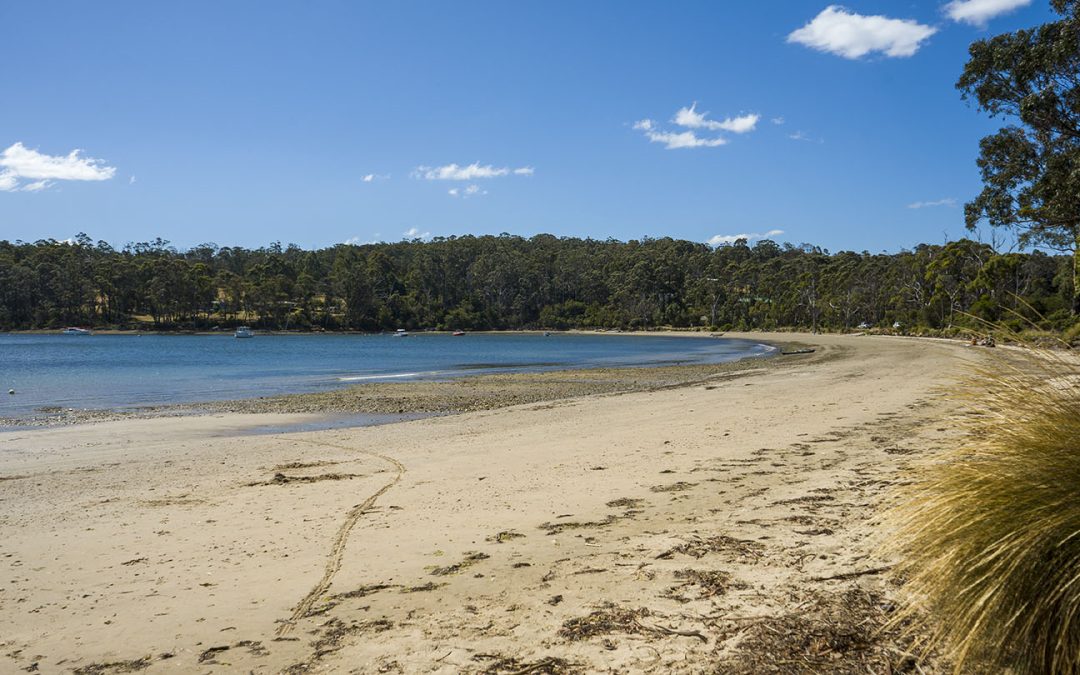
A quiet protected beach with a gradual foreshore, ideal for a picnic. Turn off Randalls Bay Road for access.
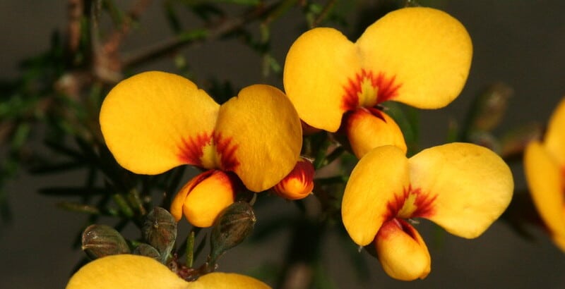
The unusual name is said to be based on the yellow and streaky red eggs-and-bacon flowers that grow in the area from the pea family. An alternative theory though likely untrue, is that Lady Jane Franklin ate bacon and eggs there around 1840 – who knows?
by Mickey Jarvis | Jan 28, 2023 | Low Hazard, South Arm Road
South Arm |
Hazard Rating: 4/10 | Parking: Good + close | from Hobart: 41 km | Faces: South-ish into the Derwent River | Length: 800 m
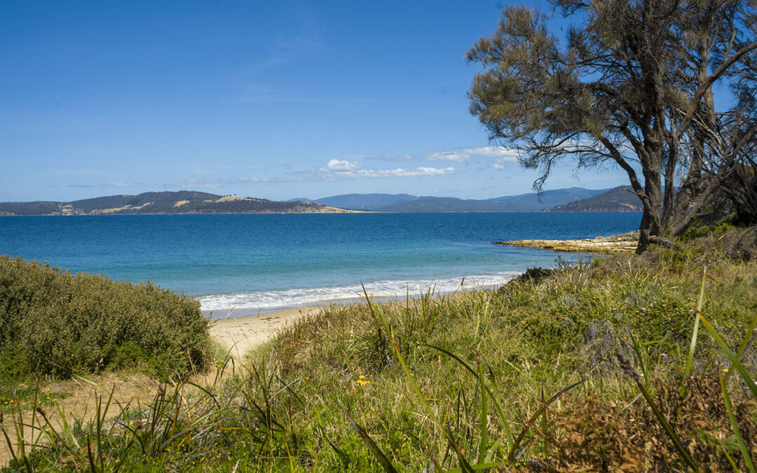
Located near South Arm in Seacroft Bay between Johns Point to the north and Cape Deliverance to the south… accessed via Blessington Road.
Presumably named after Fort Direction which occupies a large part of the peninsula and is not accessible to the public (Army defense position).
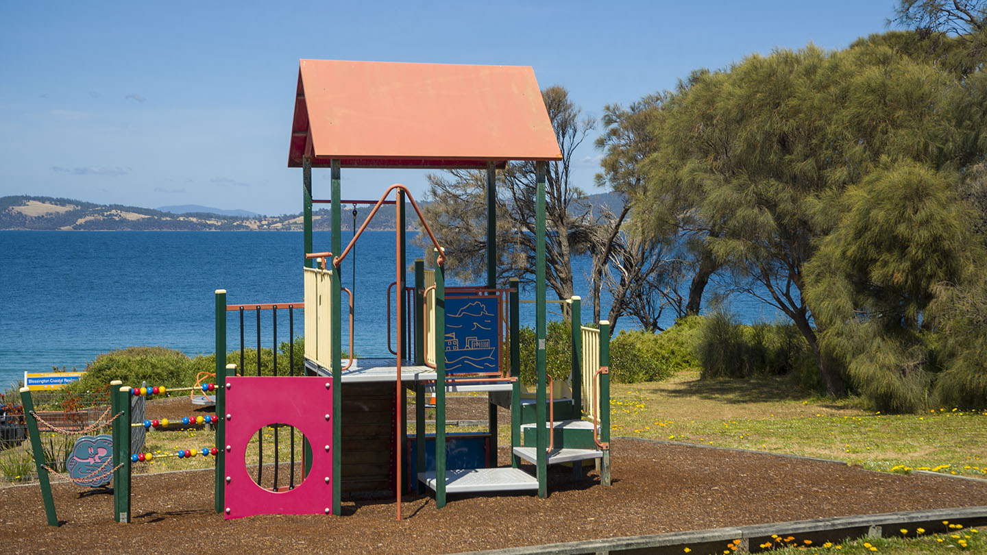
A nice unknown beach with a small playground and rocky outcrops good for fishing, exploring and snorkeling. Usually safe but that can change.
Google map info is incorrect – it shows Fort Beach as Pot Bay. No amenities.
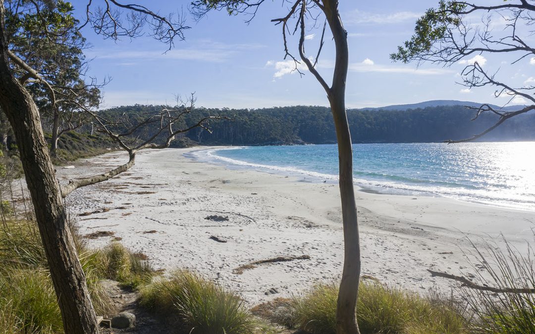
by Mickey Jarvis | Jul 11, 2026 | Low Hazard, South East, Tasman Peninsula
Hazard Rating: 3/10 | Parking: Good | from Hobart: 94 km | Faces: NE | Length: 700 m
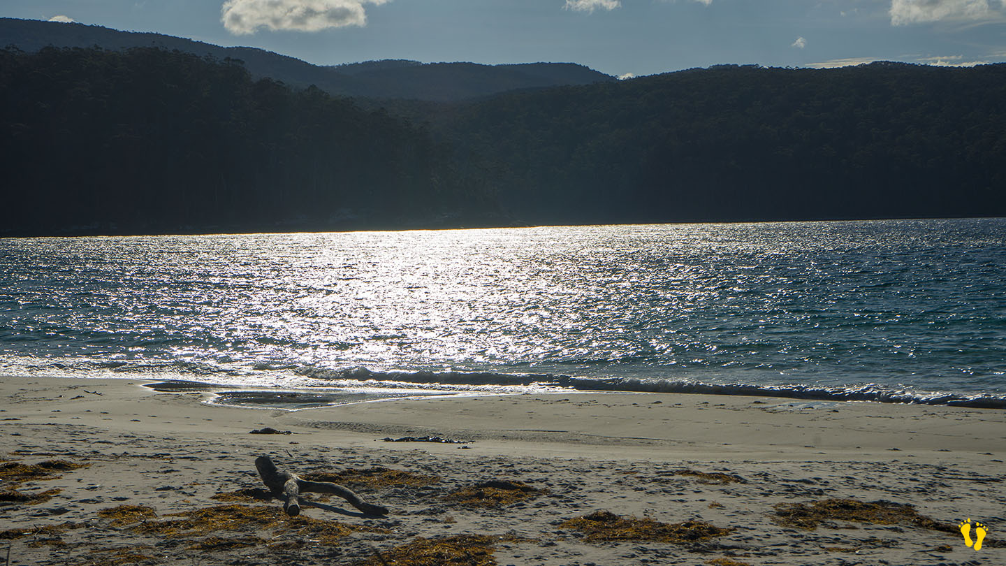
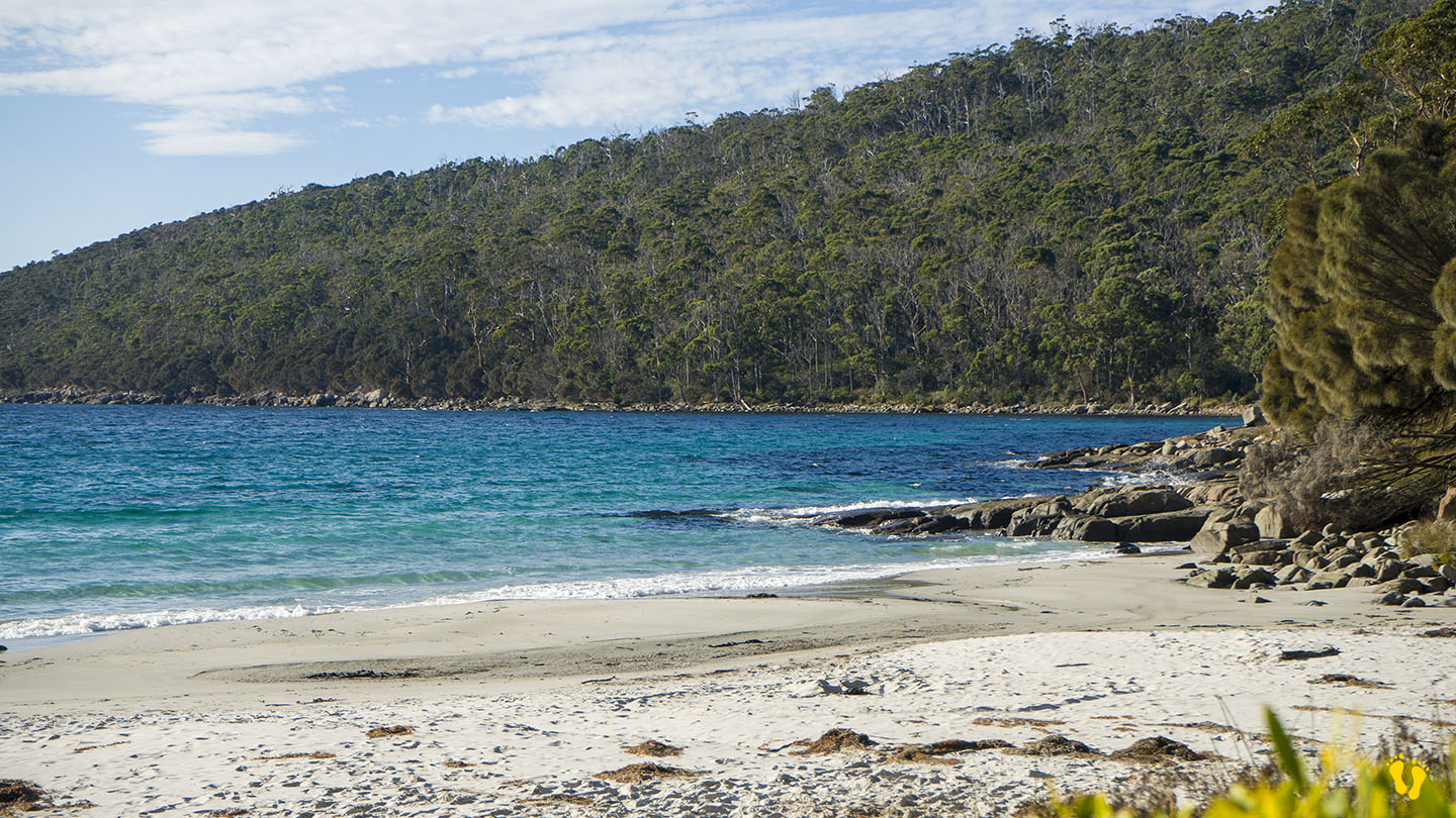
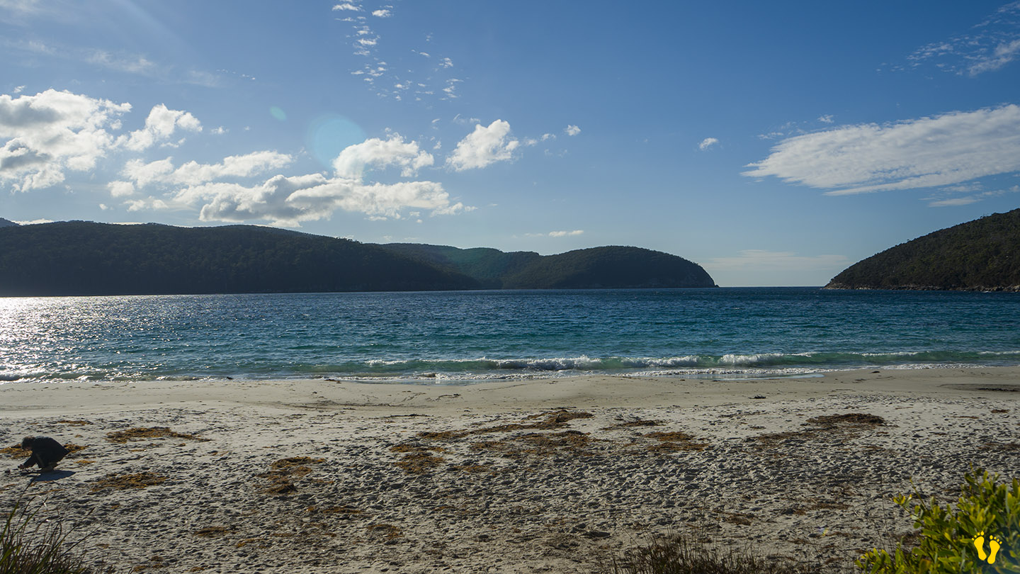
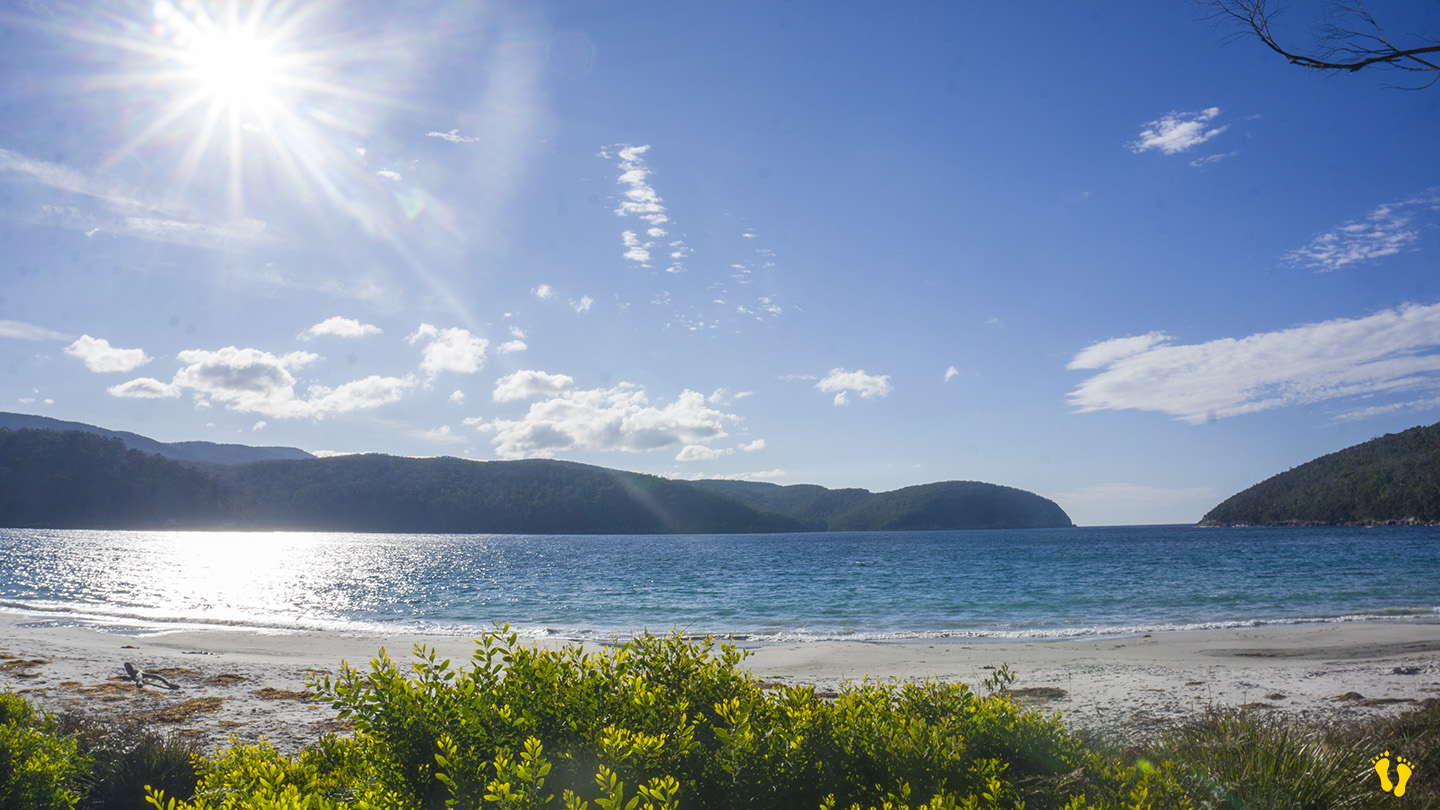
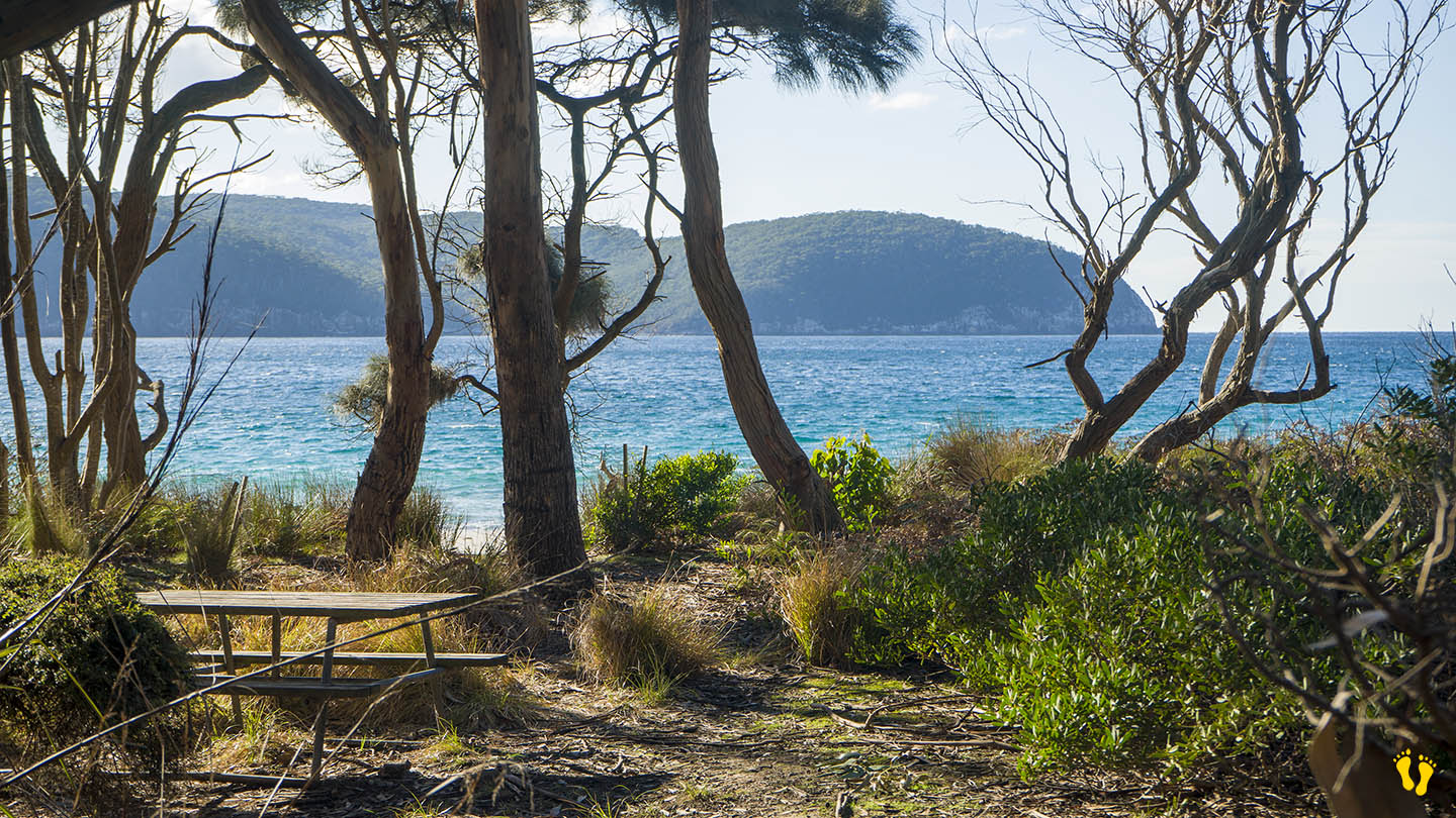
Fortescue Bay is a stunning beach located on the Tasman Peninsula. To access, turn left about 4 km before Port Arthur and travel 12 km down a dirt road suitable for 2WD vehicles.
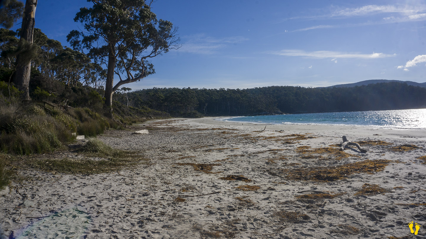
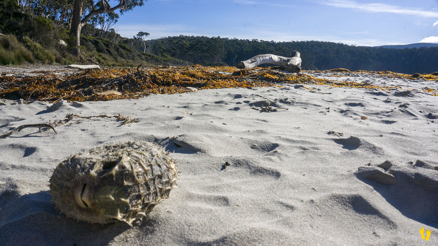
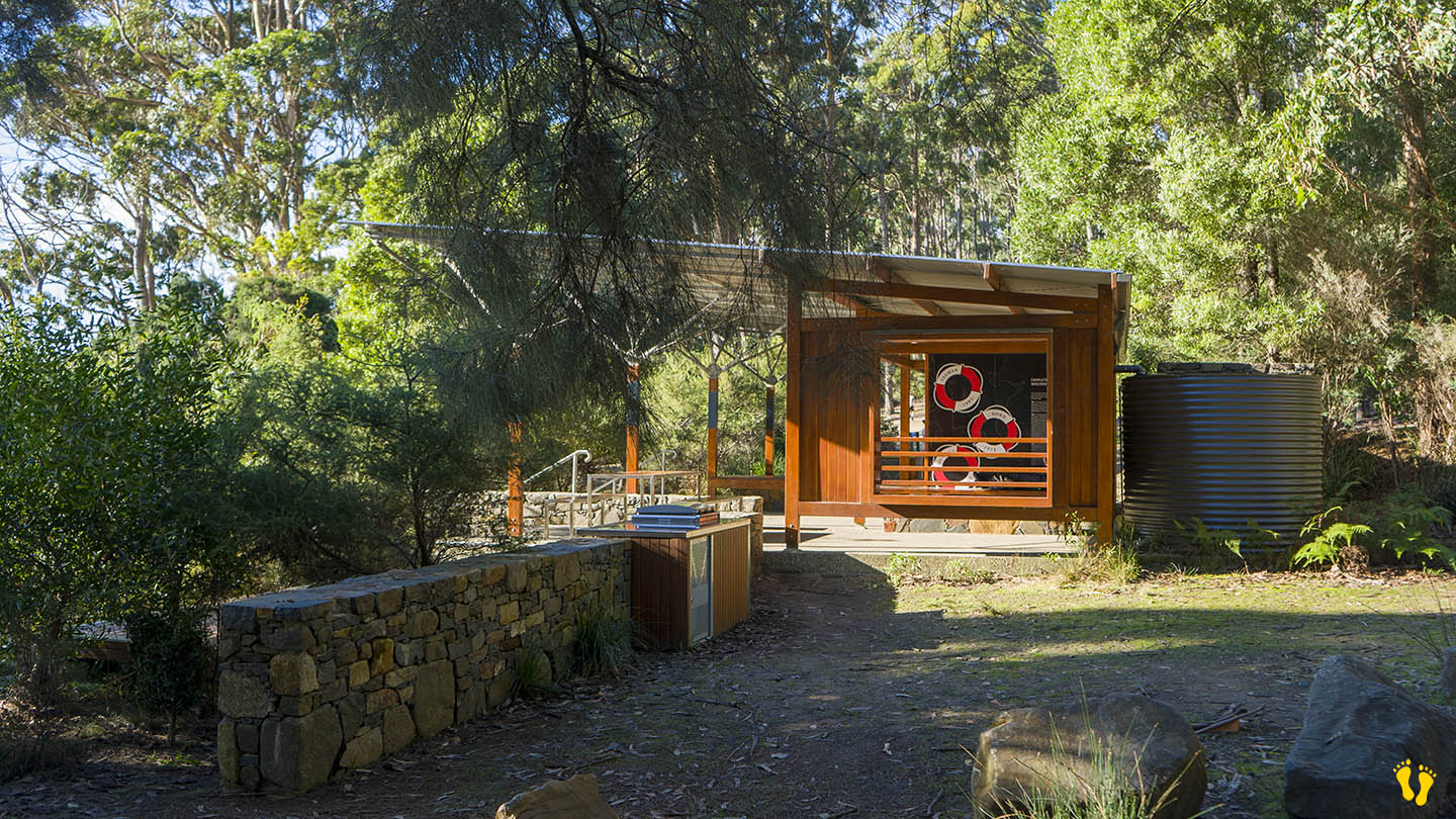
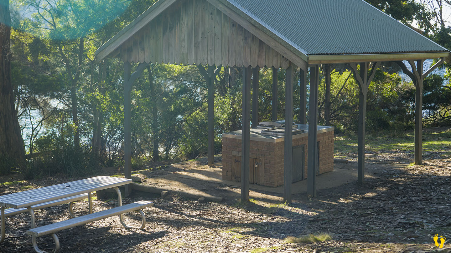
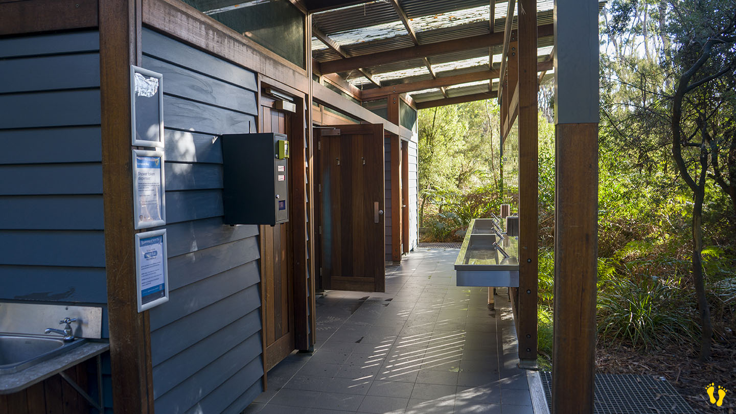
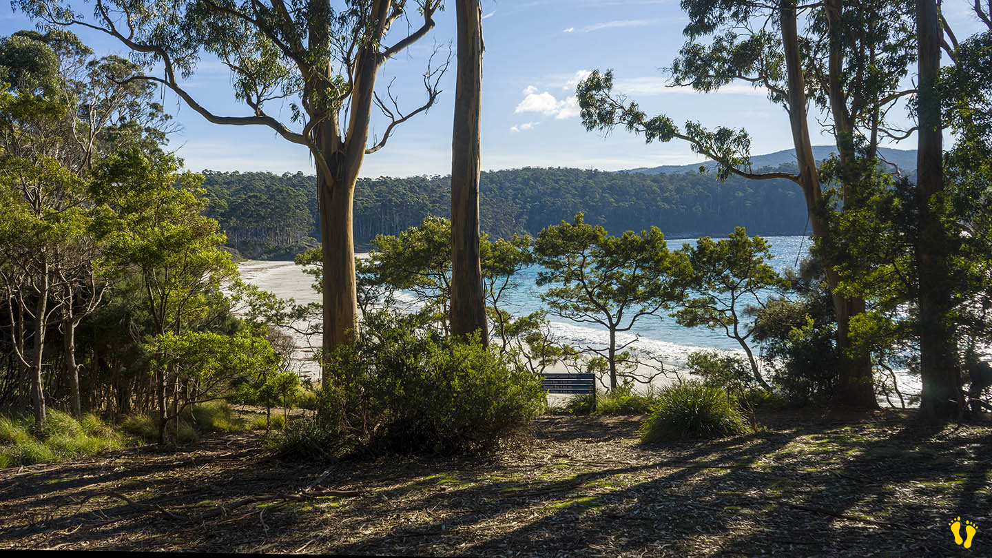
A somewhat protected beach with white sand, aqua water and surrounded by Eucalyptus trees. Ideal for swimming, fishing, diving (including magnificent kelp columns) and walks along the beach where you never know what you may find washed up on the beach. This is one of the premier beaches in Tasmania that still allows camping with over 40 sites available for tents, campervans, and caravans (no powered sites). For detailed information, click here.
Fortescue Bay is worth a visit as a day trip or to camp – it has everything, a beautiful beach, stunning views and the feeling of being in the middle of nowhere – which it is! – you will not be disappointed.
Originally charted as Baie Dolomieu by French explorer Nicolas Baudin in 1802 to honor the French mineralogist Déodat de Dolomieu. It was subsequently renamed Fortescue Bay by British surveyor Robert Scott in the early 19th century after a British naval officer.
This is a TasPlay review of Fortescue Bay – you can contact us at contact@tasplay.com.au.
If this page was helpful, please give us a thumbs up.