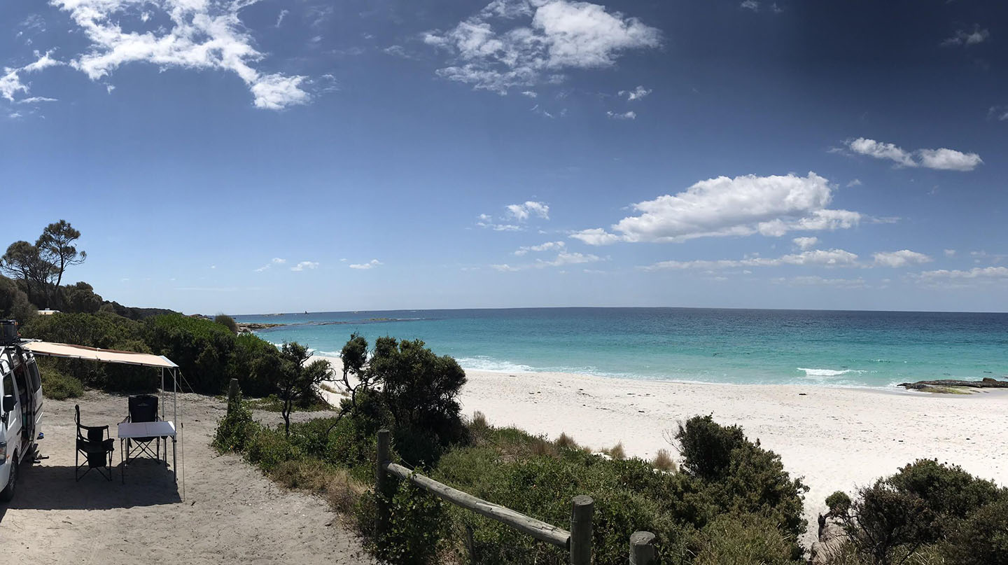
by Mickey Jarvis | Feb 23, 2025 | Bay of Fires, East Coast
Near: Bay of Fires & St Helens: |Hazard Rating: 5/10 | Parking: Okay | Faces: East into Tasman Sea | Length: 1.5 km
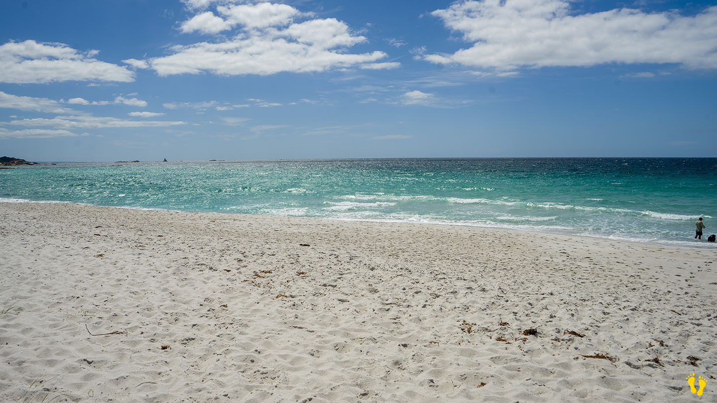
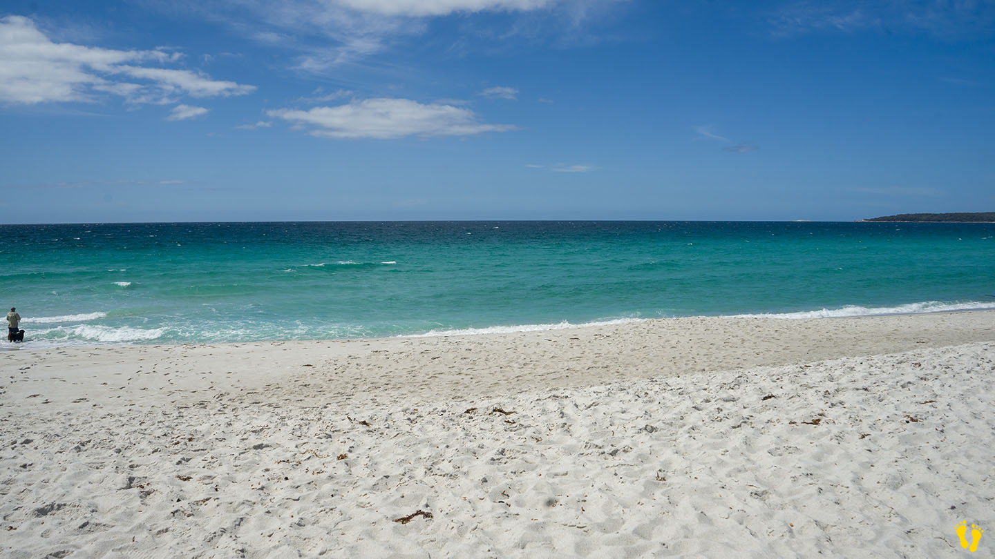
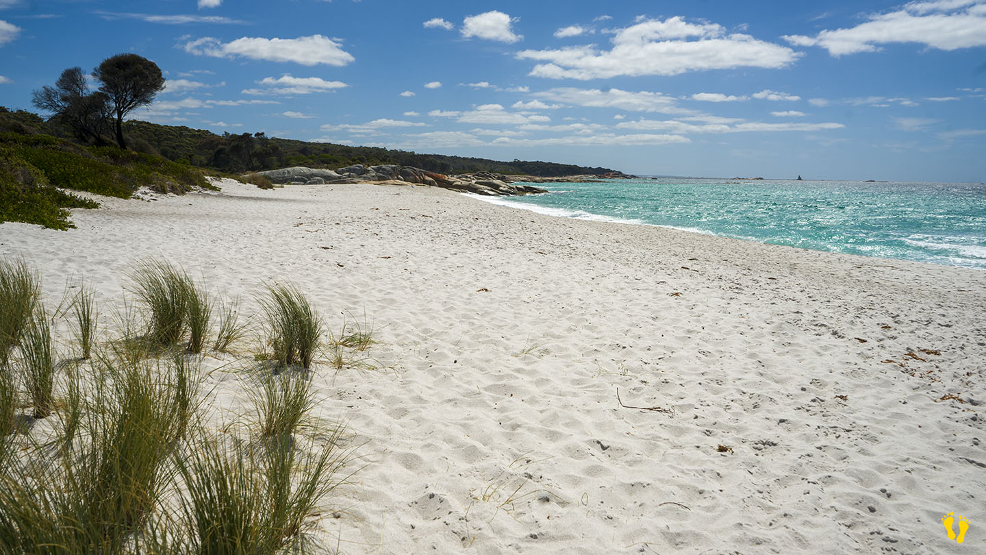
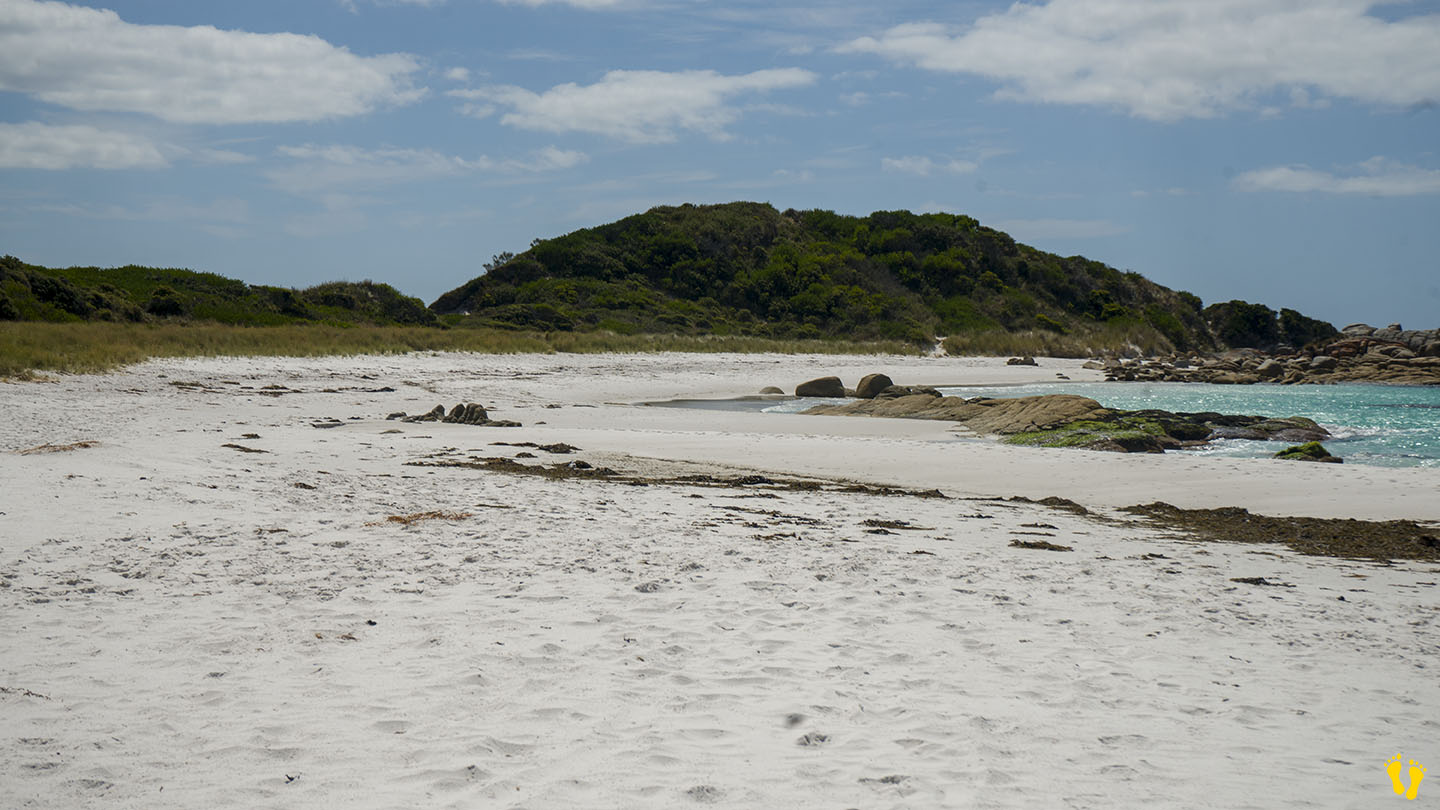
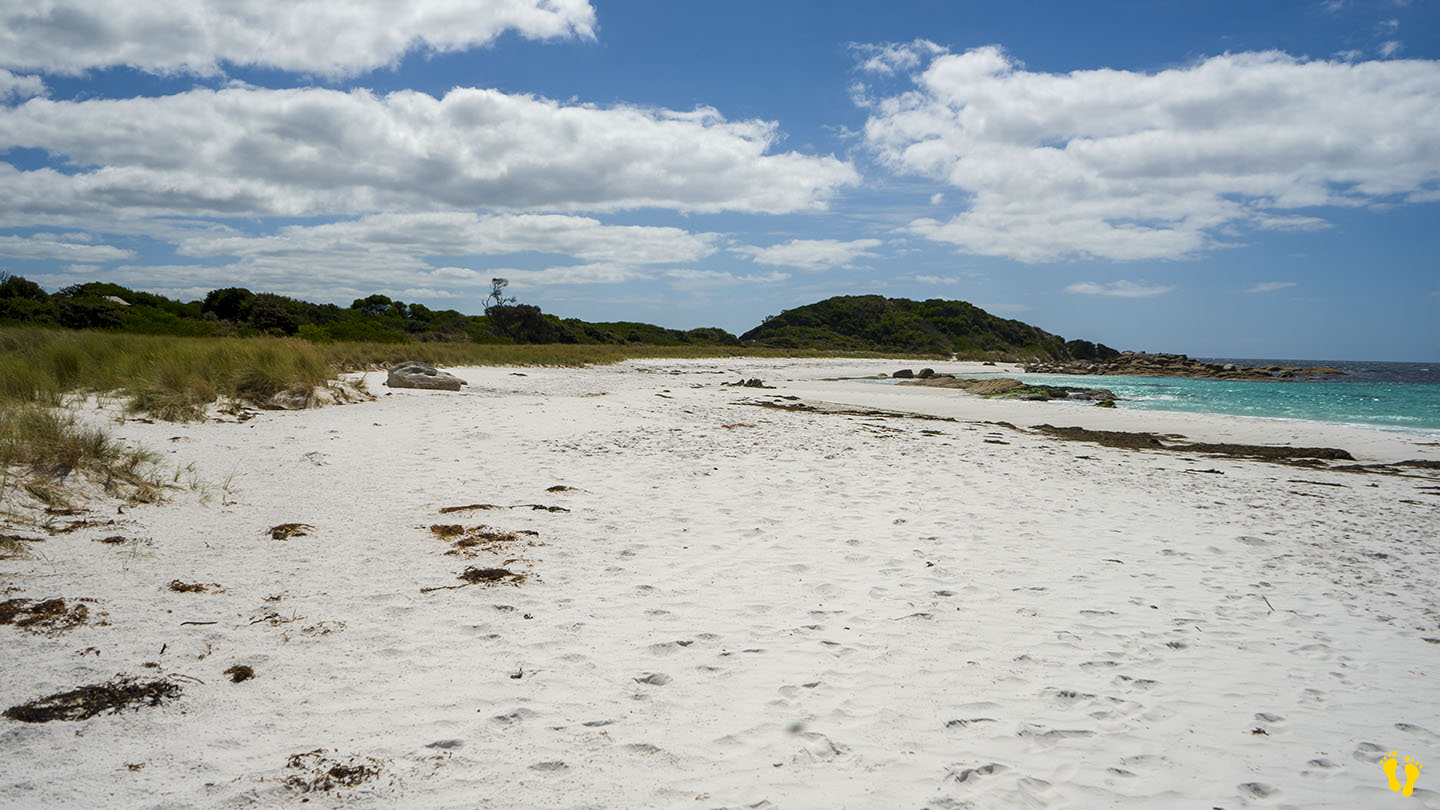
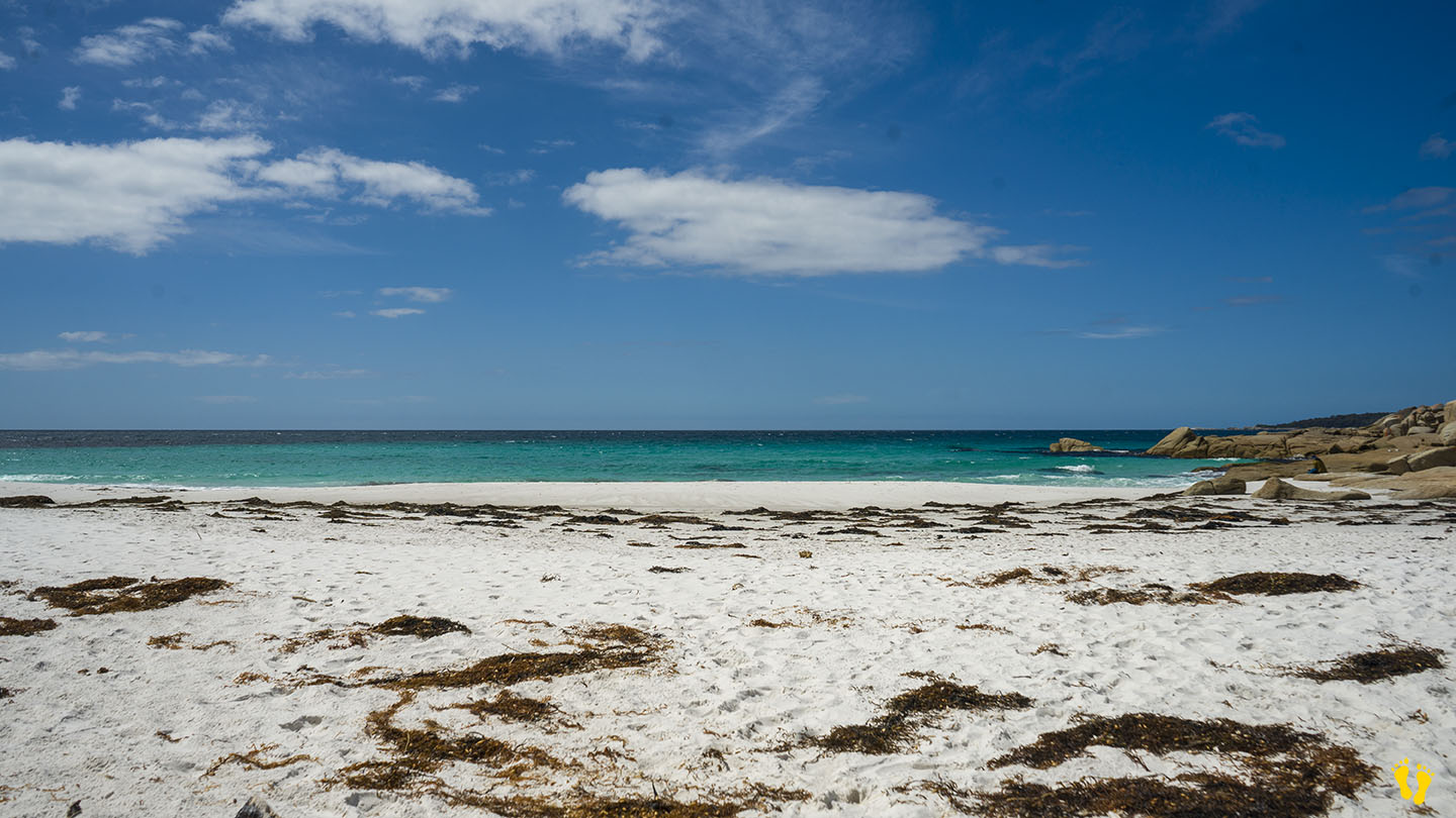
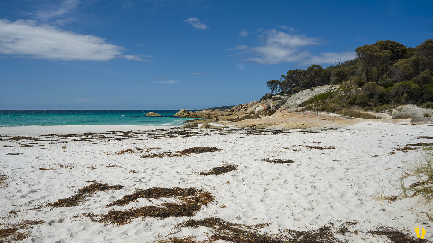
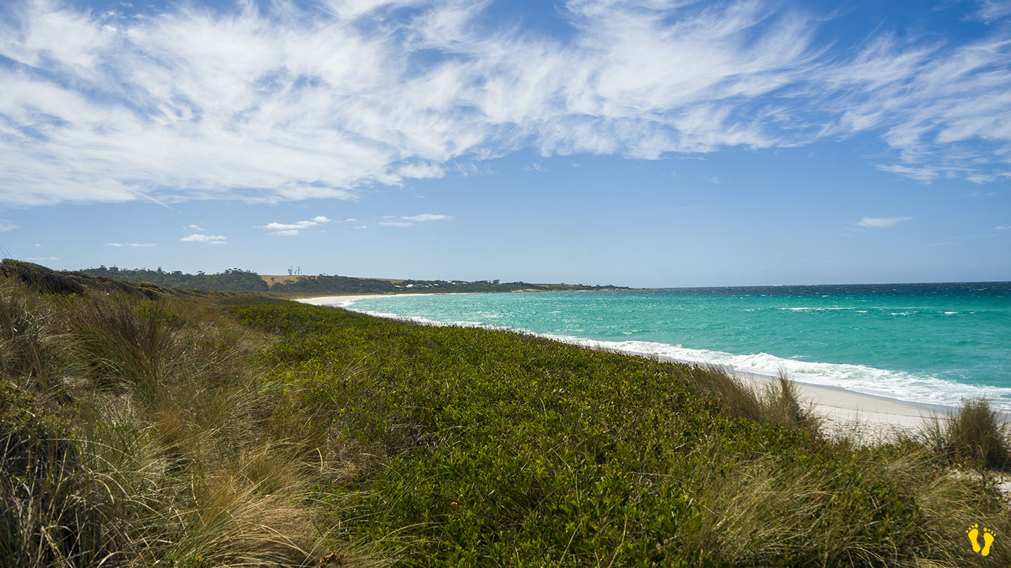
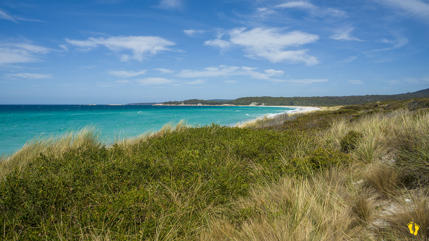
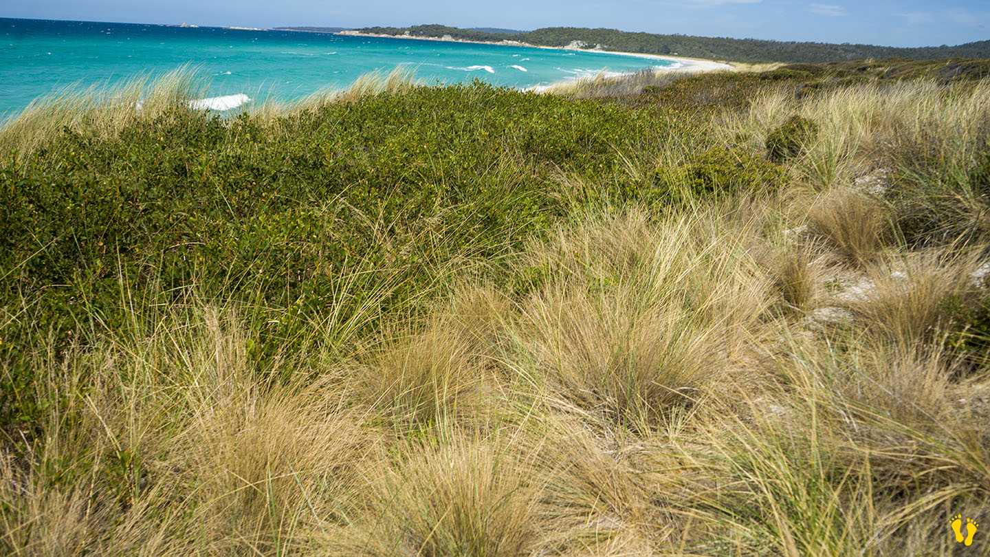
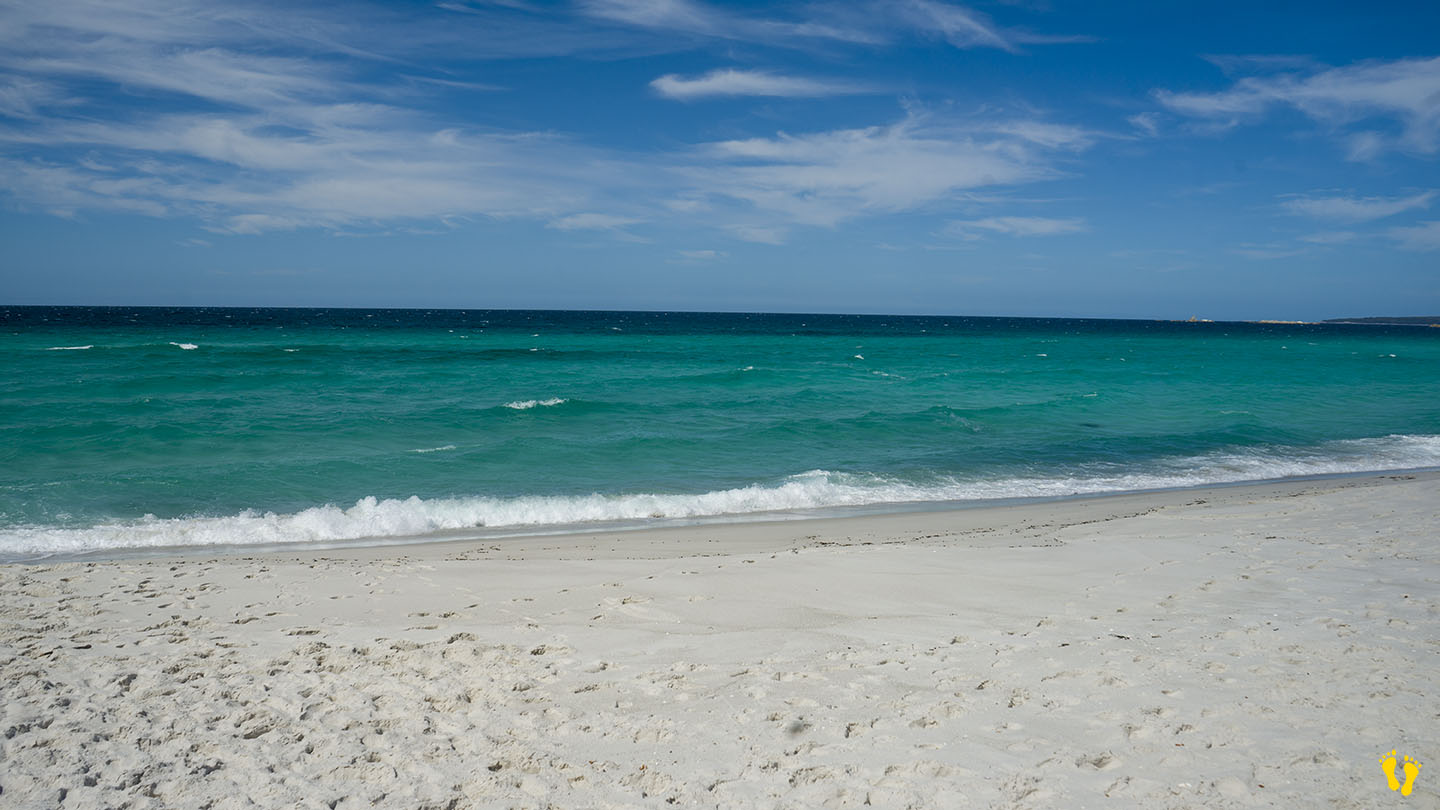
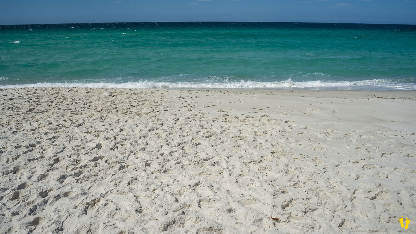
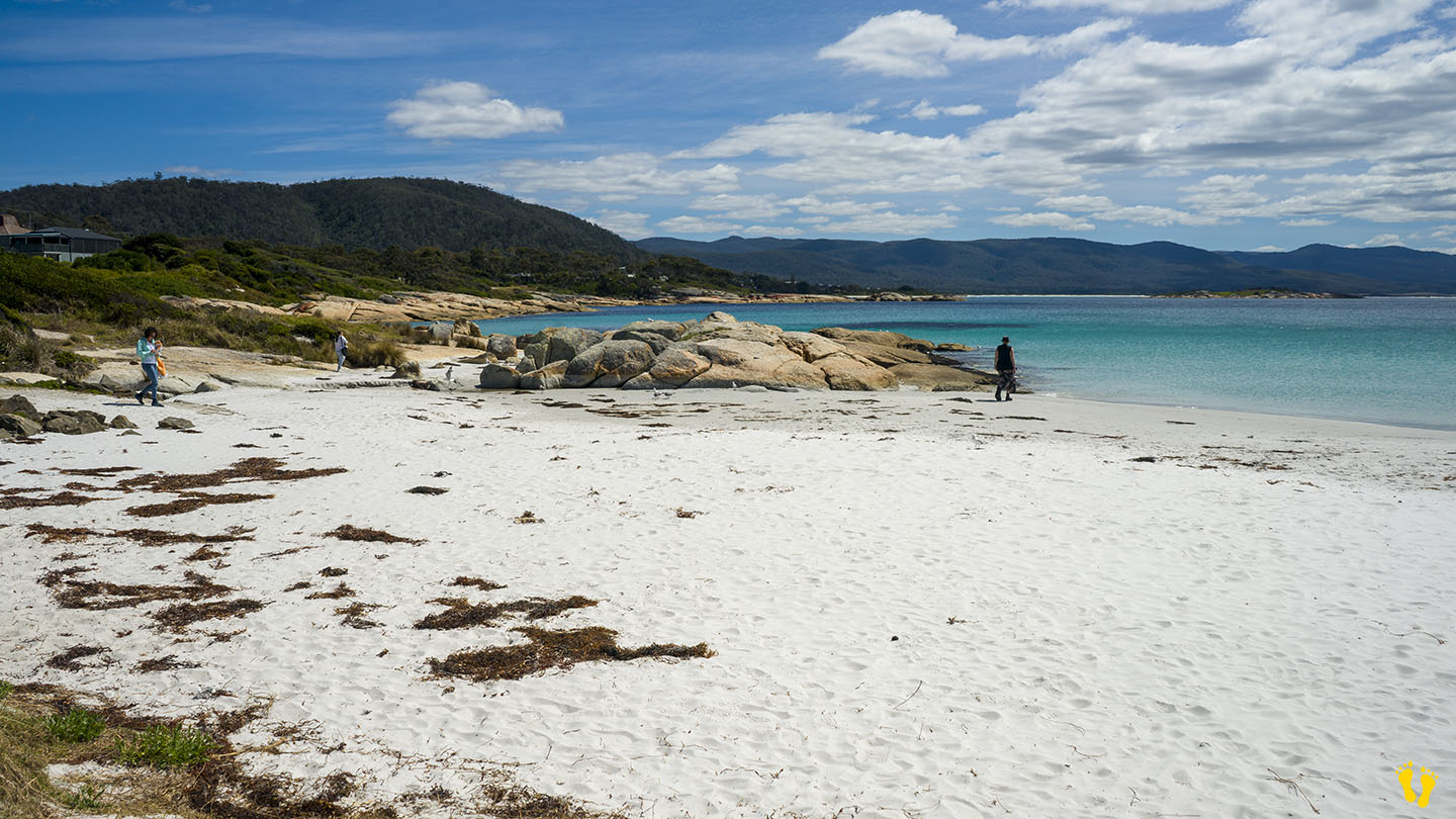
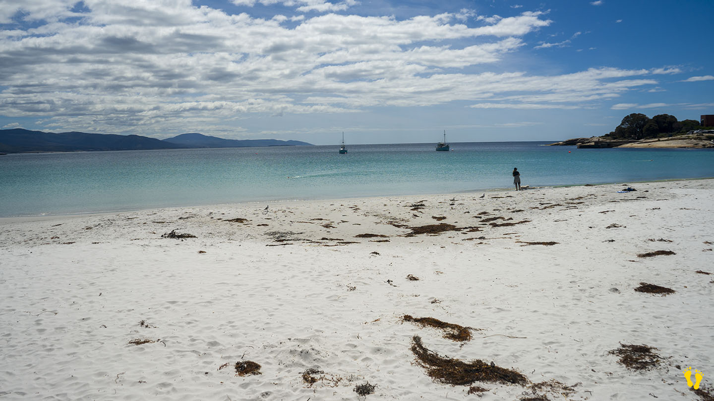
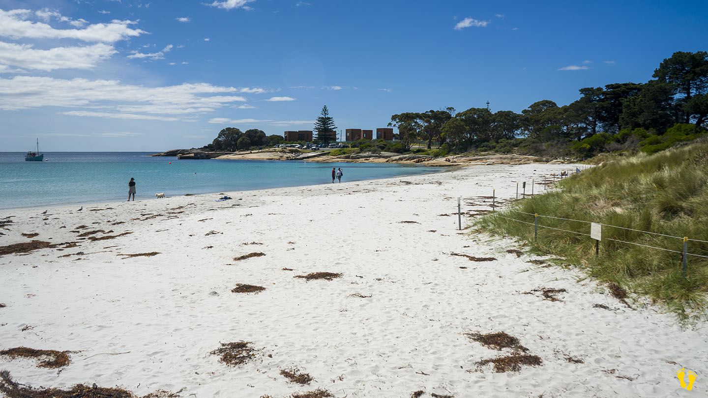
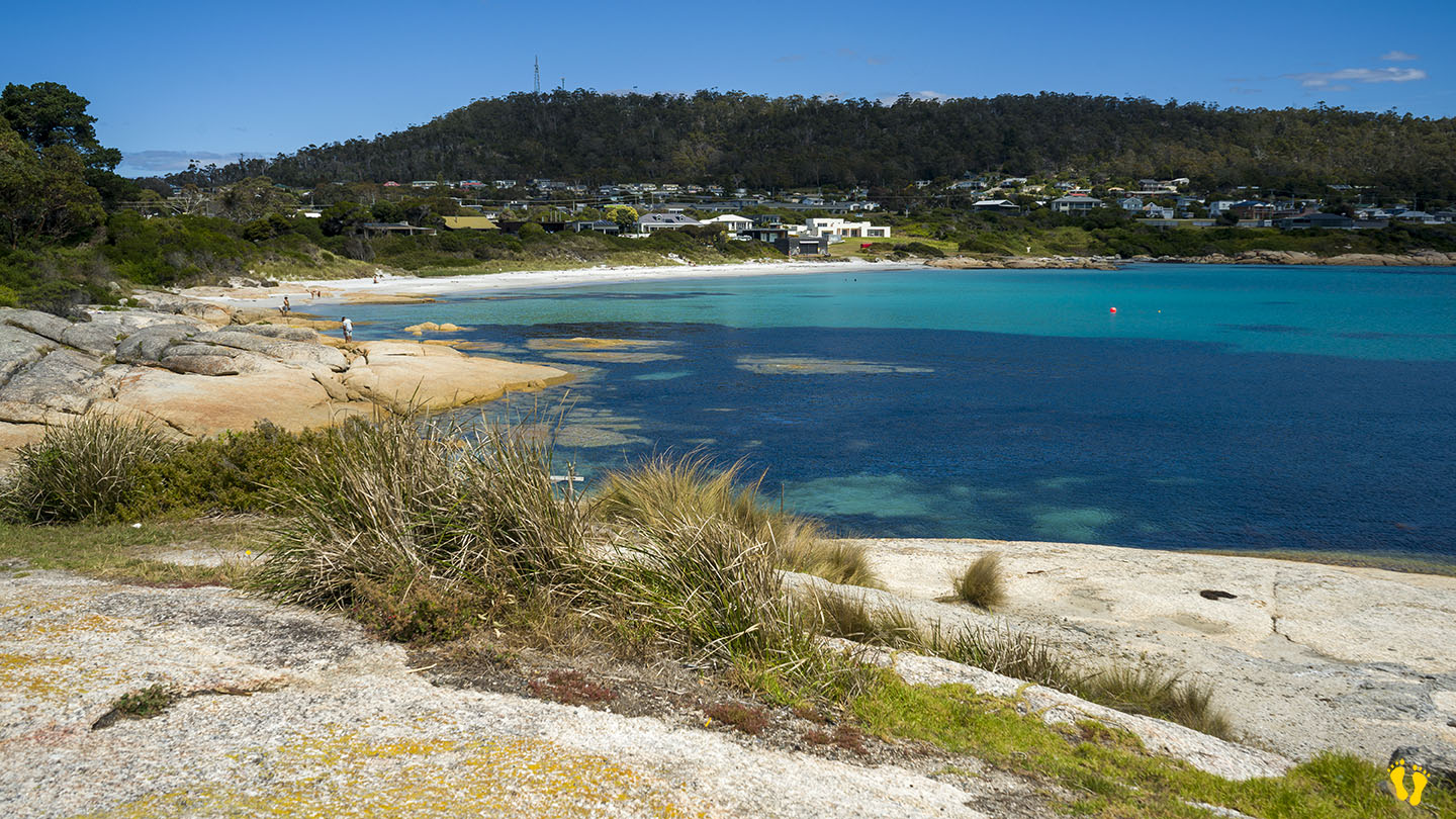
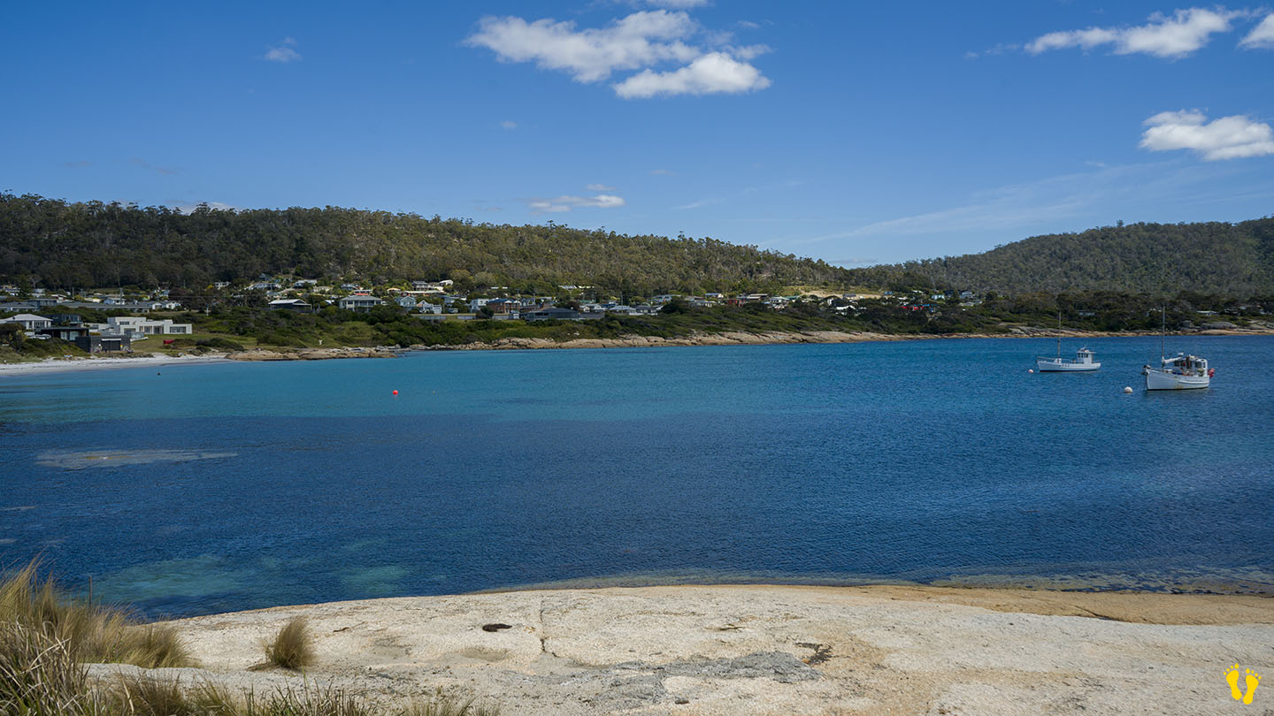
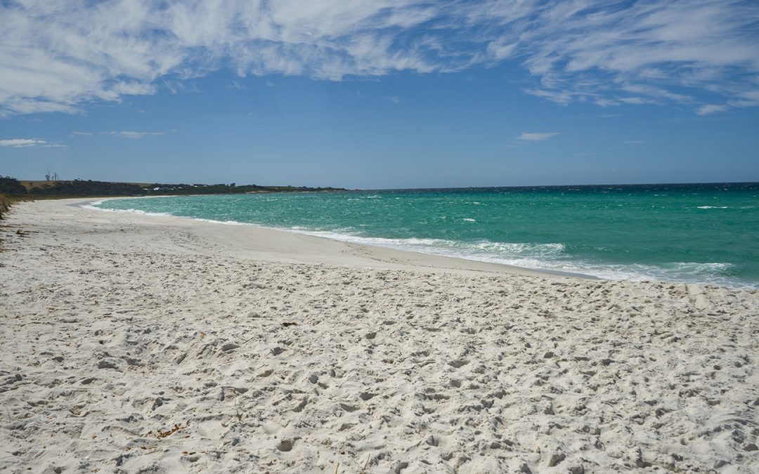
Swimcart Beach is a long sweeping beach north of St Helens & Binalong Bay and part of the Bay of Fires.
Pure white sand, beautiful crystal clear blue water and stunning rock formations often covered in a bright orange lichen.
Swimcart has north and south sections divided by Swimcart Lagoon which is often blocked from the sea.
- Swimcart North extends 250m South of Old Man Rocks to Swimcart Lagoon and
- Swimcart South goes south\south east for 1.2 km from Swimcart Lagoon to Round Hill Point.
A popular beach for camping, swimming, snorkeling and surf fishing. The beach sometimes has small surf with the occasional possibility of better waves. The beach can be potentially dangerous to swim at, so as usual, match you and your family’s swimming ability with the conditions.
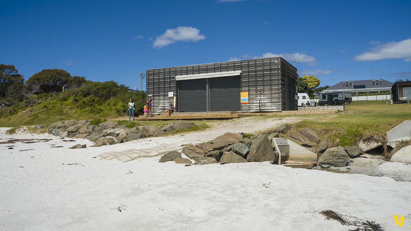
There are great campsites for every type of vehicle – camper, caravan, motor home, tent etc… many sites are right on the beach. Camping is free with a maximum stay of 28 days. No water is available and fires are banned. The site is managed by Parks and Wildlife Service Tasmania.
Basic toilets including some wheelchair access. Entry is from two roads off Gardens Road, one to the south of the lagoon and the other to the north which shares its entry road with Cosy Corner.
Swimcart was named after an Aboriginal word that means ‘river with plenty of fish’.
`
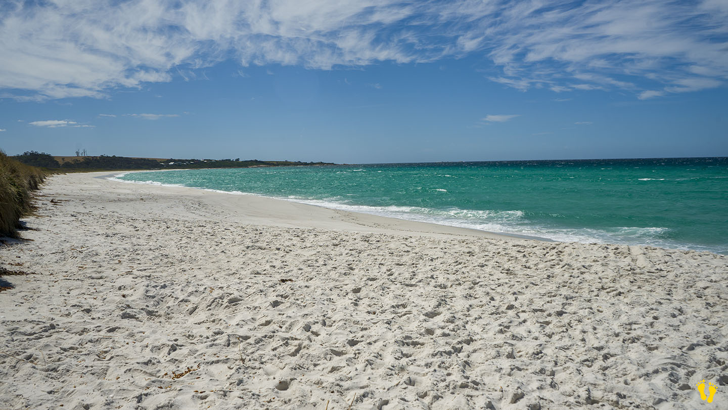
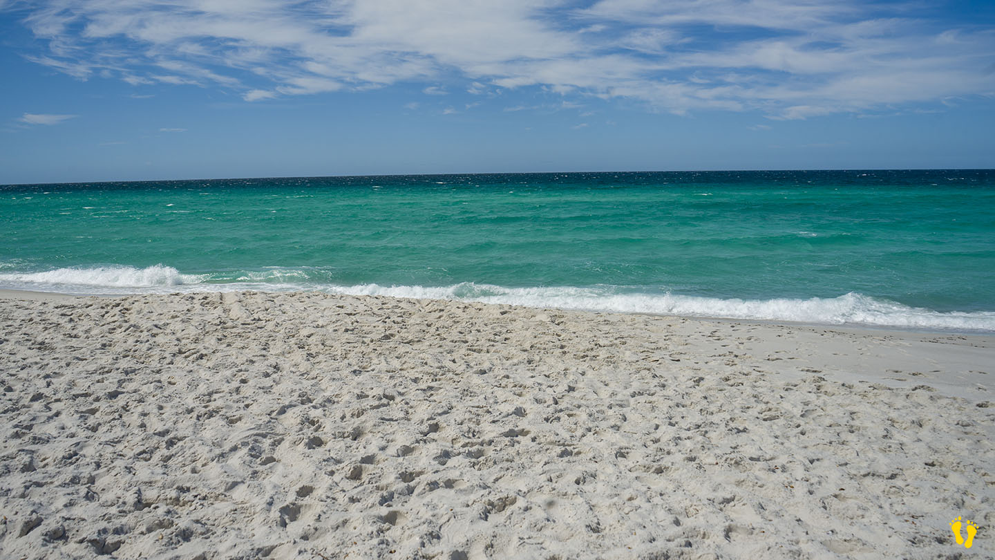
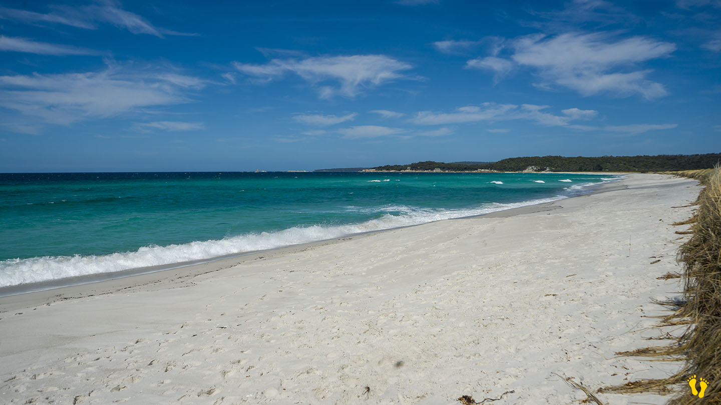
by Mickey Jarvis | Feb 25, 2025 | Bay of Fires, East Coast
Near: Bay of Fires & St Helens| Hazard Rating: 6/10 | Parking: Fair | Faces: East Iinto Tasman Sea | Length: 3 km
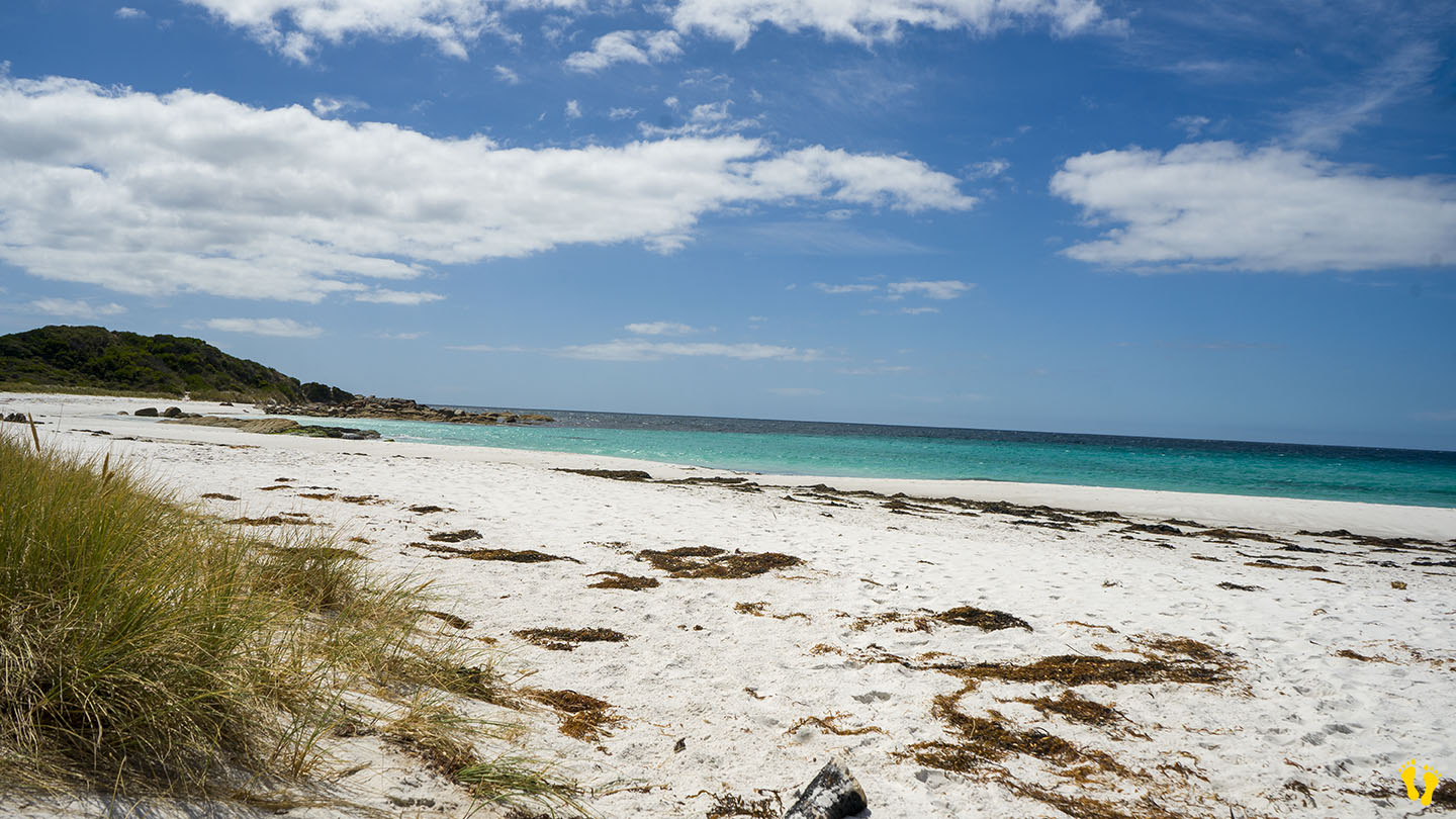
Taylors Beach is a spectacular sweeping beach north of St Helens in the Bay of Fires. Situated between the Gardens and Sloop Reef to the south.
Pure white sand and beautiful aquamarine water. The beach is exposed to waves from the east and usually has some surf and many rips. Swimming is only advised for proficient swimmers. Recommended for a ‘paddle’, long walk or surf fishing.
Access is by 7 main road turnouts along the beach, each with limited parking and a short walk to the beach. There is no camping.
Taylors Beach was originally named Big Lagoon Beach after the large lagoon behind the beach, it was later renamed Taylors Beach after a local resident. The Bay of Fires was named by Captain Tobias Furneaux as he sailed past in 1773, spotting Aboriginal fires lighting up the coastline.
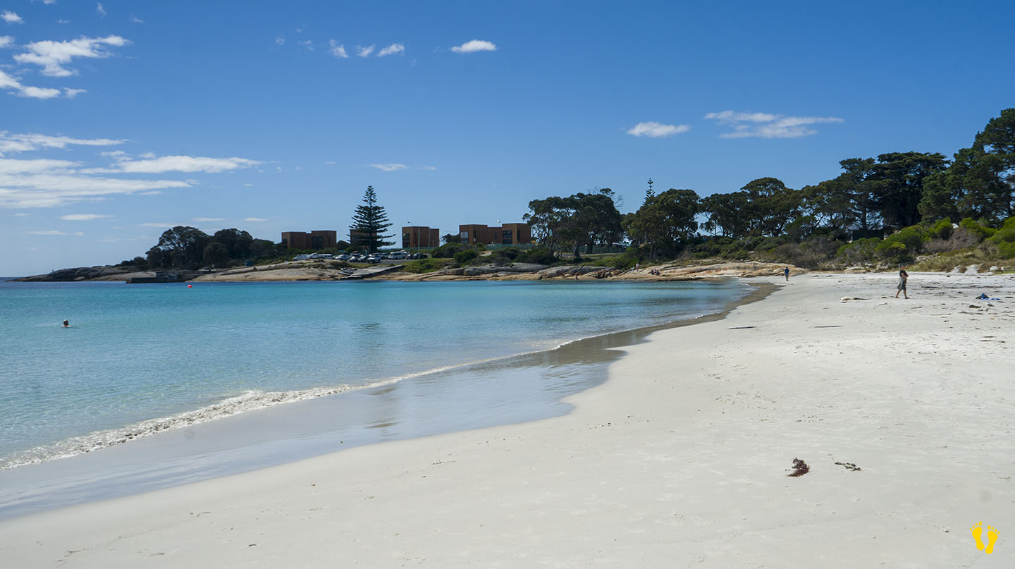
by Mickey Jarvis | Feb 28, 2025 | Bicheno, East Coast
Near: Bicheno | From: Hobart: 180 km | Launceston: 160 km |
Hazard Rating: 2-3/10 | Parking: Good + close | Faces: N/NW into Waubs Bay and the Tasman Sea | Length: 250 m
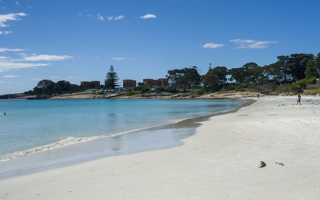
Waubs Beach Bicheno is a small beach in a protected bay with aqua-blue water and pristine white sand surrounded by beautiful coloured granite rocks.
An incredible beach that is ideal for kids and families.
A generally safe beach to swim at, with surf lifesavers often patrolling the beach on weekends. Also caters to the disabled – see Accessible Beaches.
Waubs Beach was named after a First Nations woman, Waubadebar, famous for having rescued two sealers from drowning after their boat overturned in rough seas in 1820 – she could swim, but they could not!
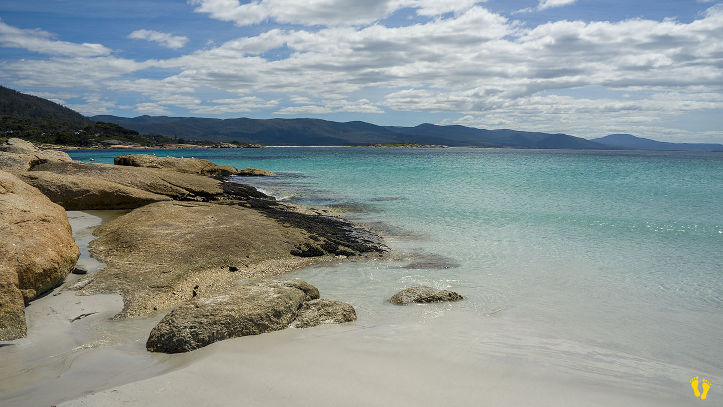
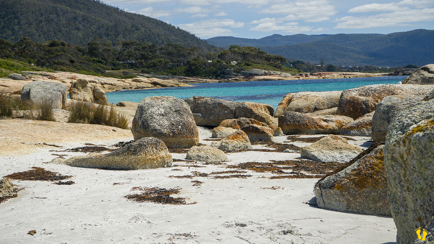
by Mickey Jarvis | Jun 30, 2023 | East Coast
Hazard Rating: 3/10 | Length: 1.7km | from Hobart: 192 km | from Launceston 175 km |
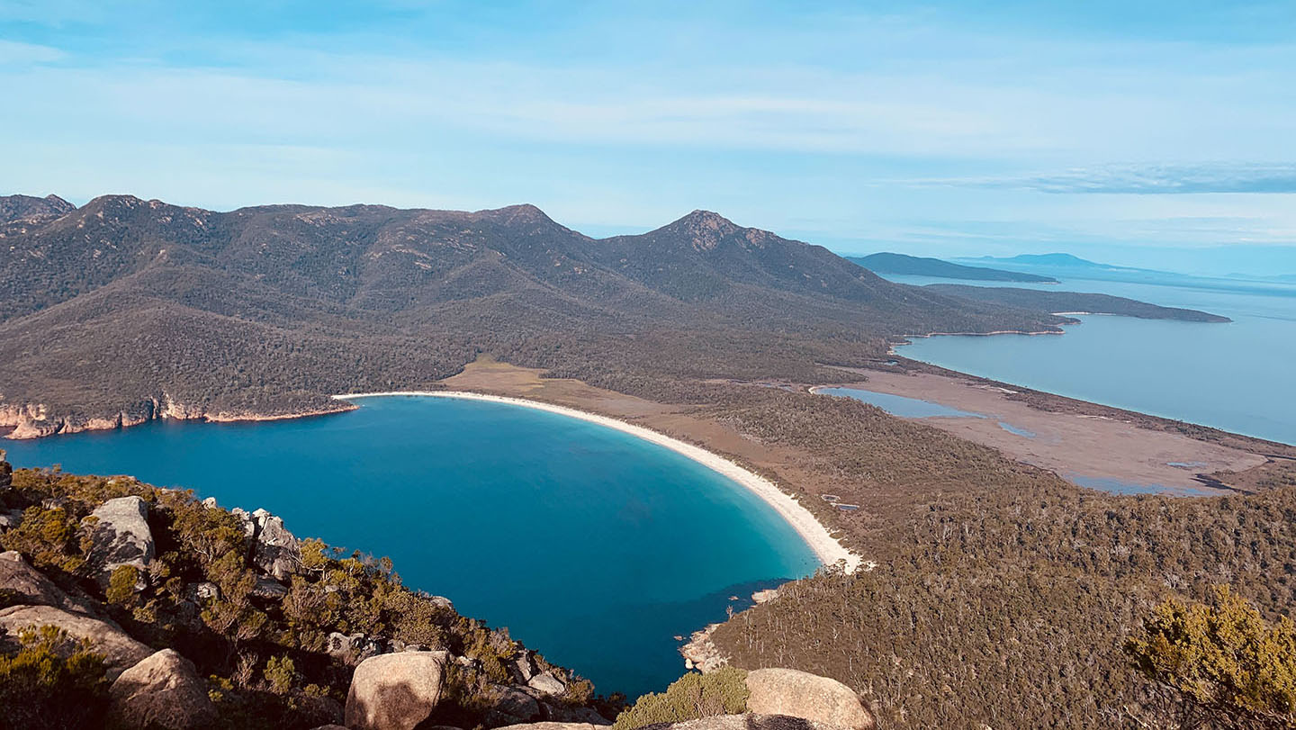
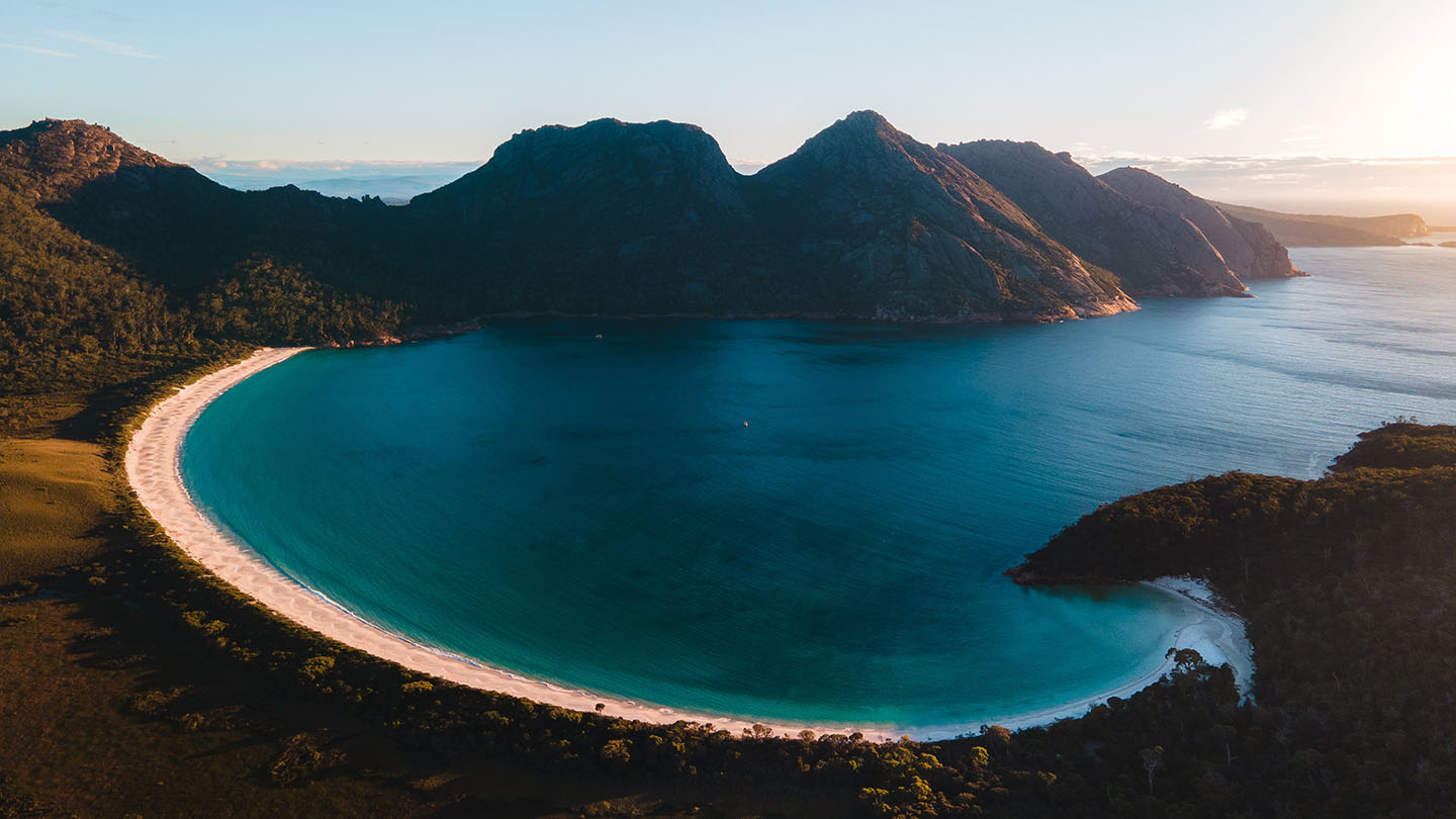
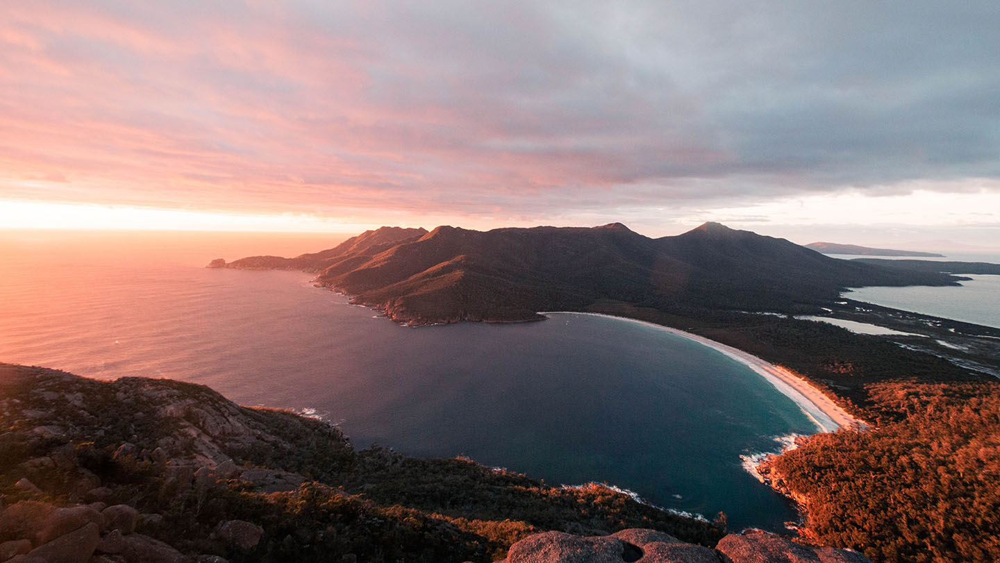
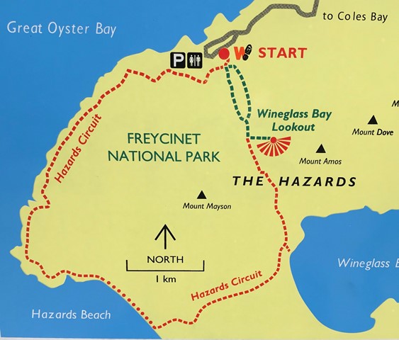
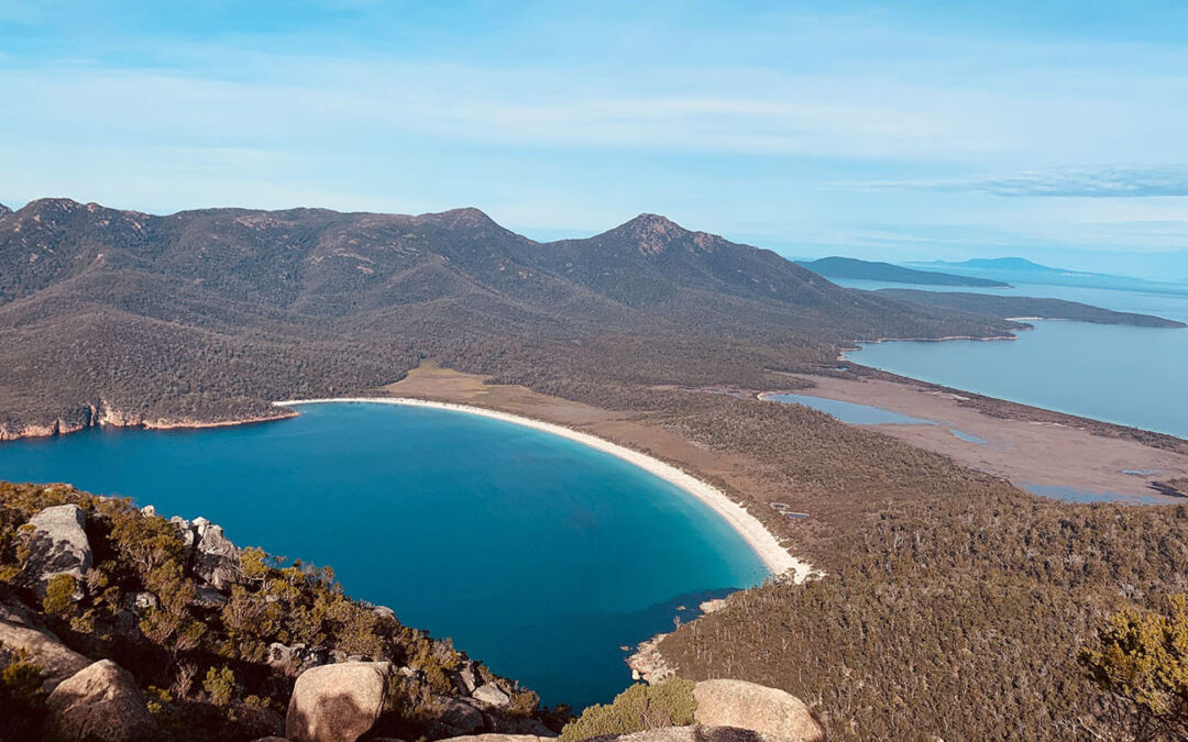
Situated on the east cost of Tasmania in the Freycinet National Park near Coles Bay.
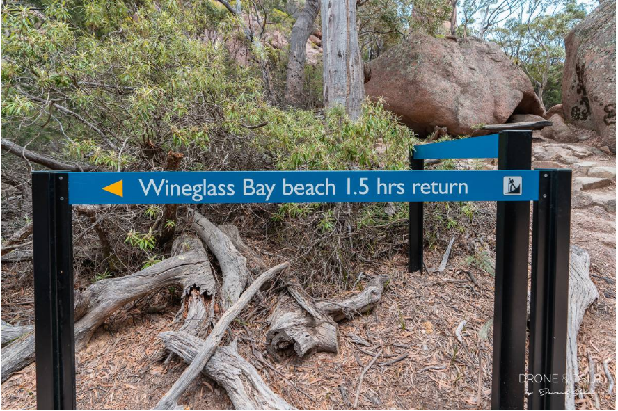
Rated as one of the top beaches in the world. Access is a 1 hour walk which starts as an uphill walk to the top of the saddle, then a downhill walk to the beach.
Interesting features and spectacular views. The beach has pristine white sand, crystal clear turquoise water and is surrounded by rugged mountains.
At the end of Wine Glass Bay beach is a small campground with some basic amenities, tents only and nothing provided including water. You can also walk to Hazards Beach on the other side.