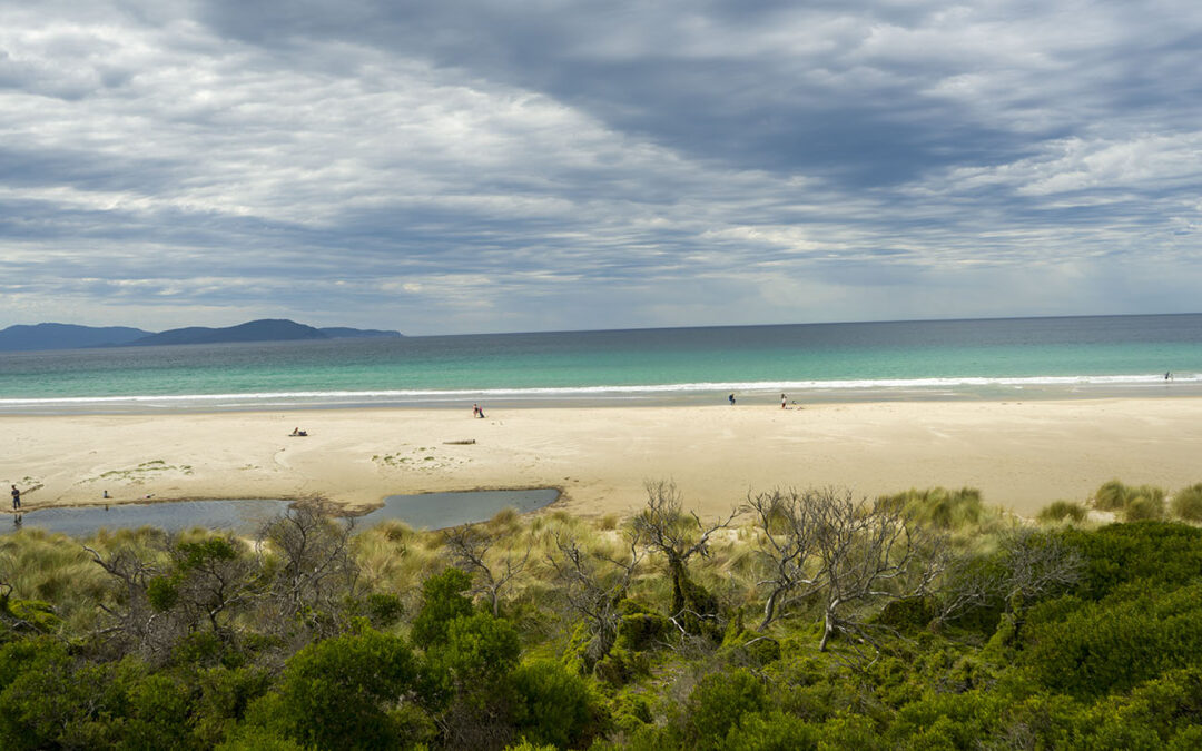
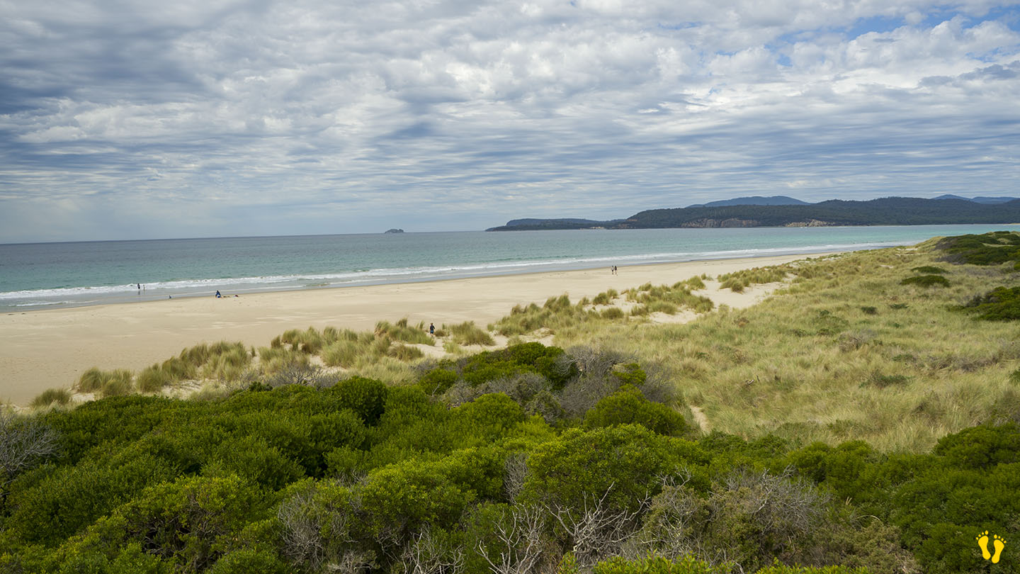
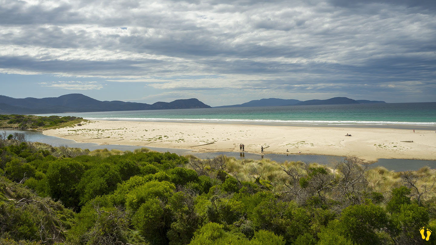
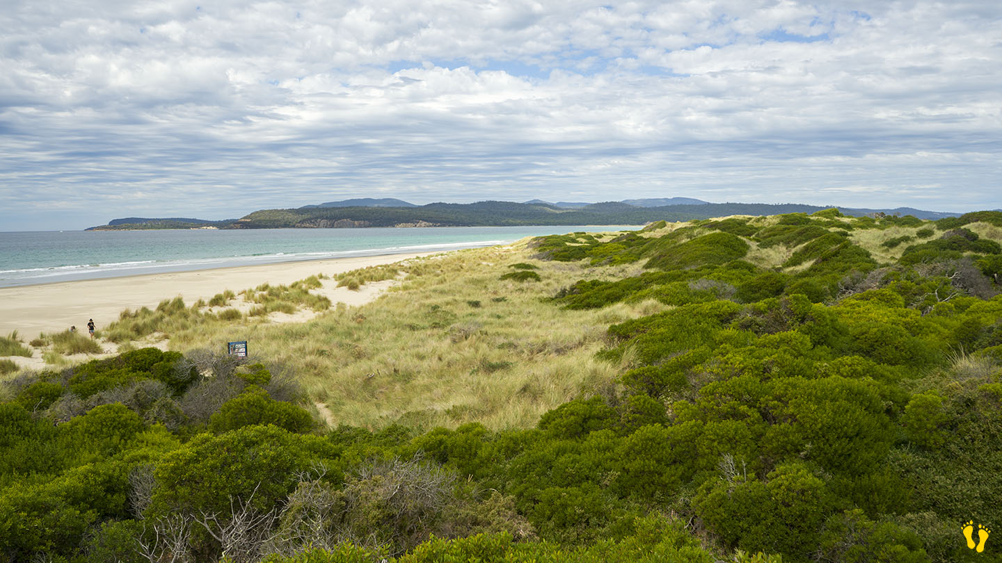
Hazard Rating: 5/10 | Parking: OK |from Hobart: 52 km | Length: 8 km | Faces: East into Marion Bay / Tasman Sea
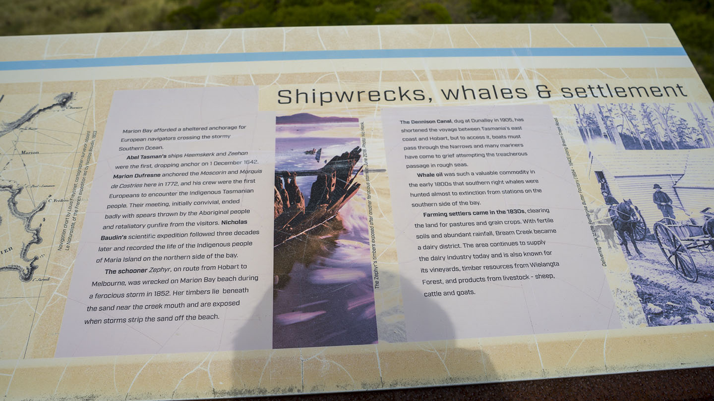
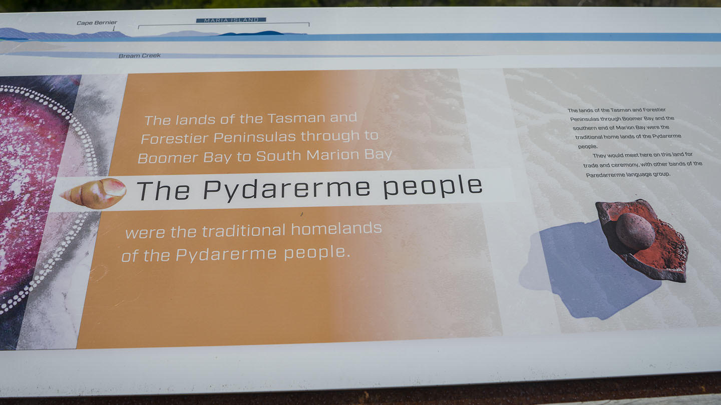
Original People: Pydarerme / Paredarerme
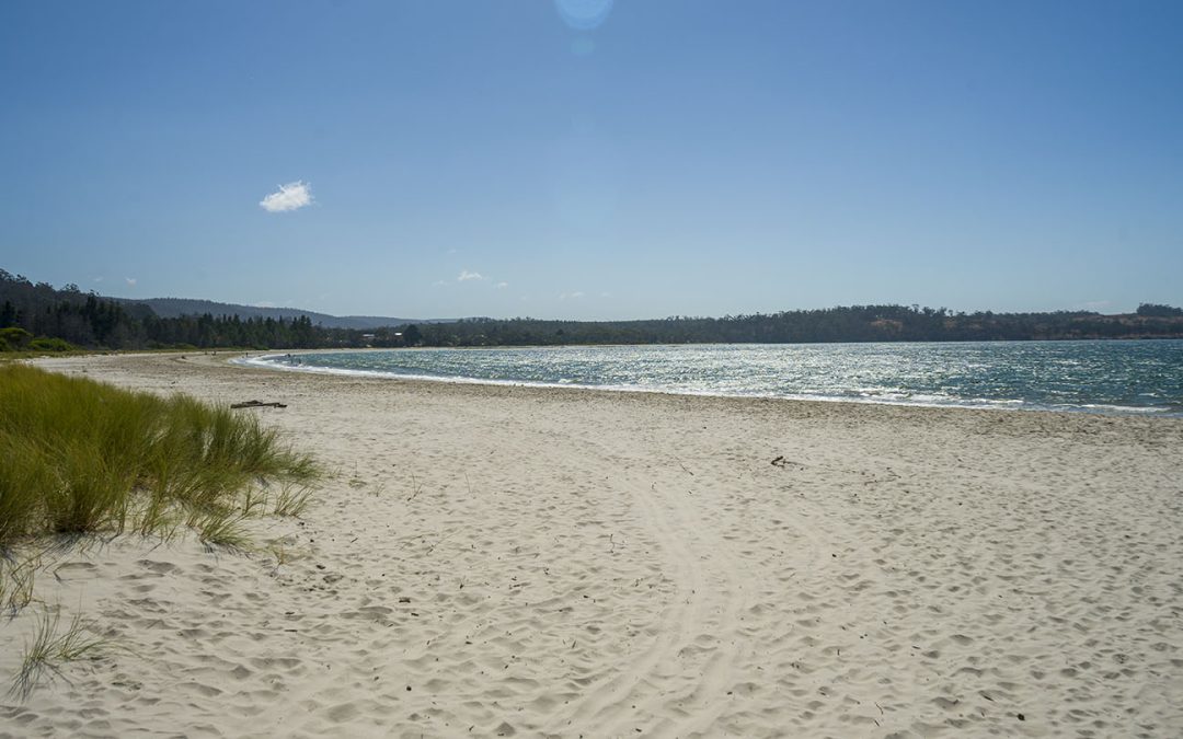
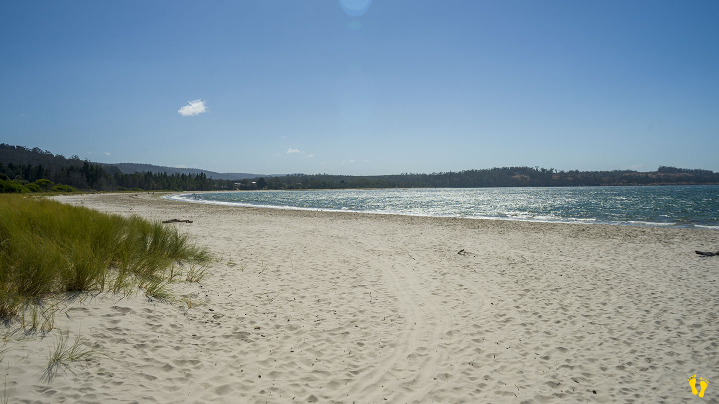
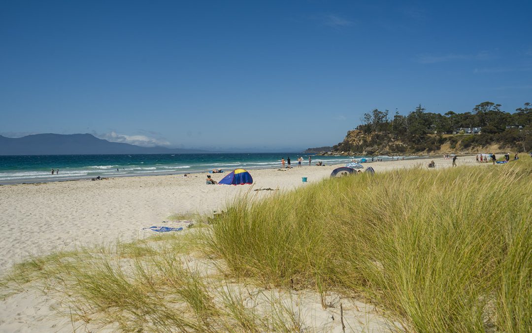
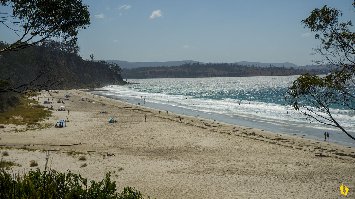
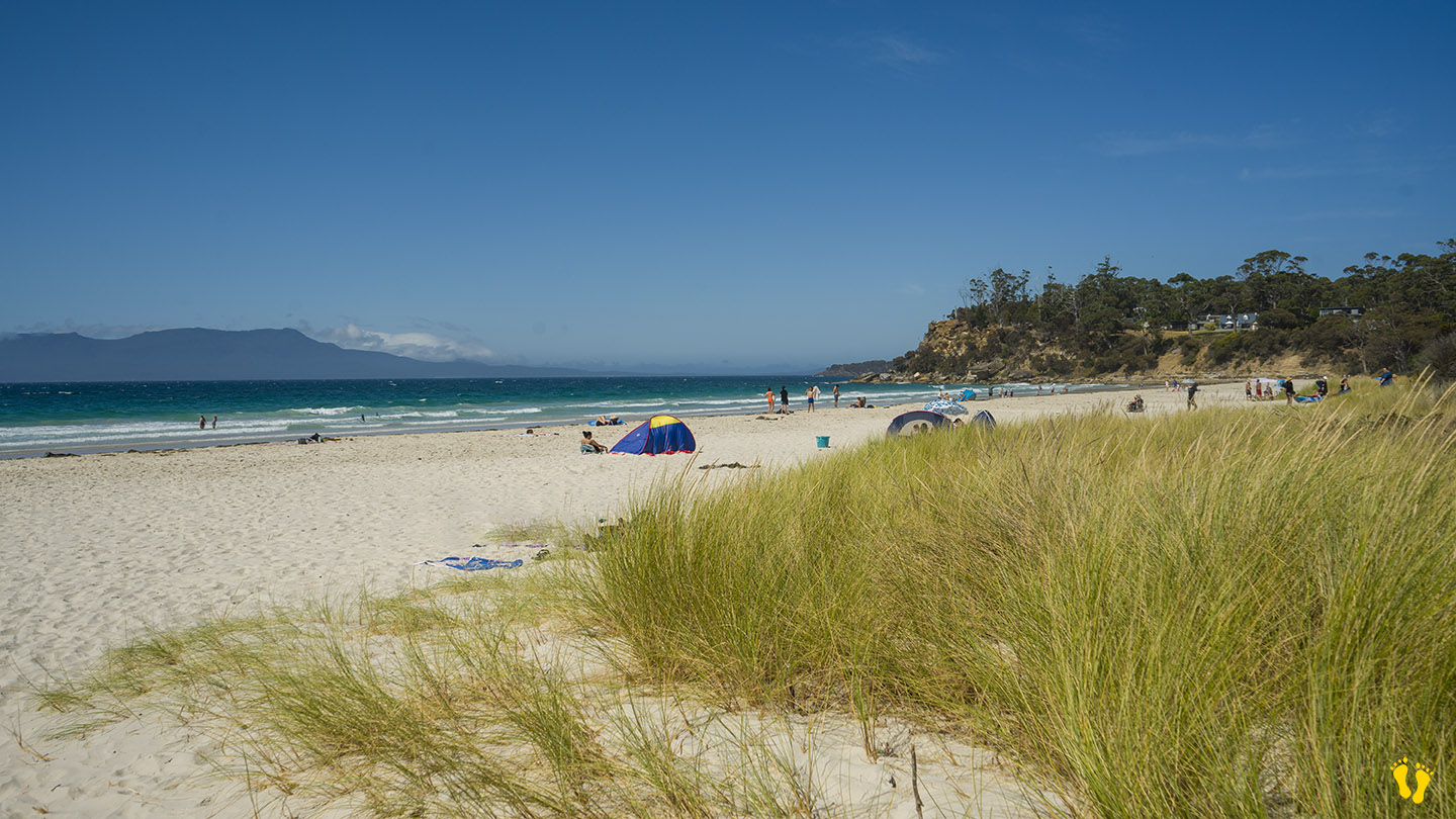
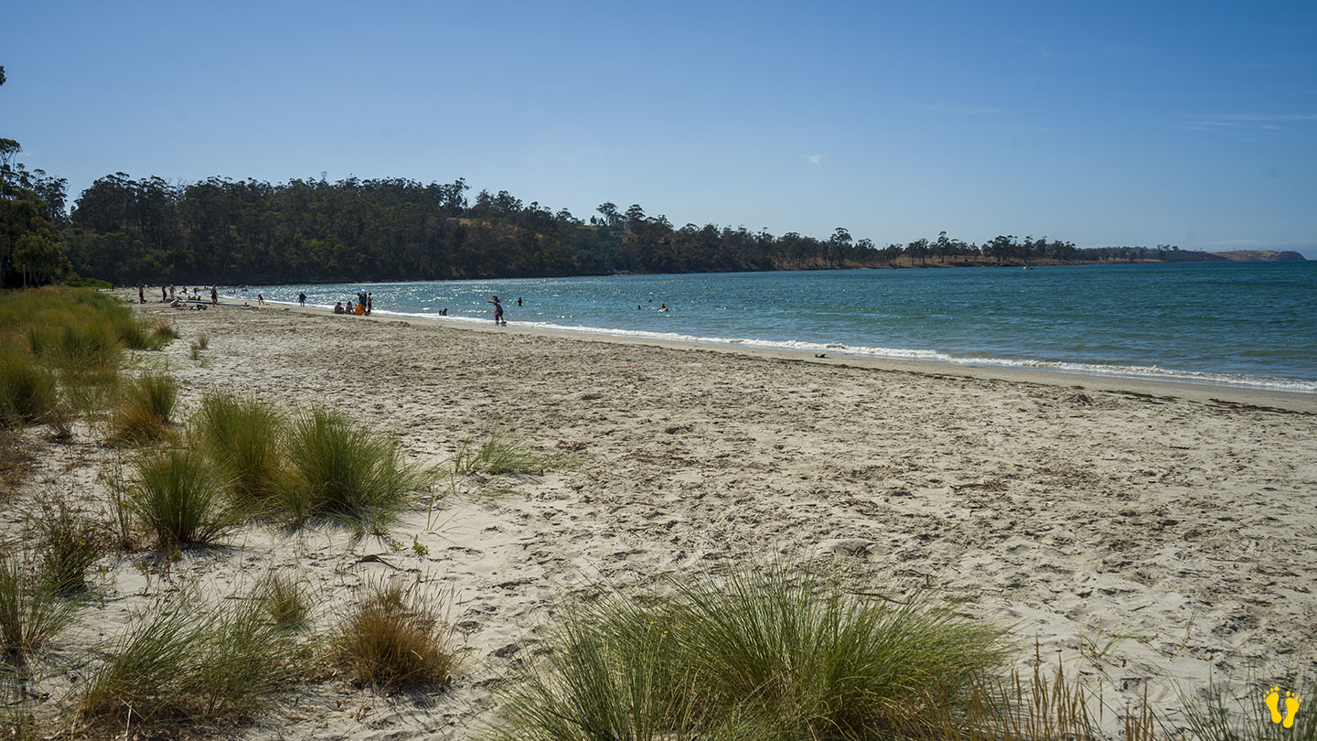
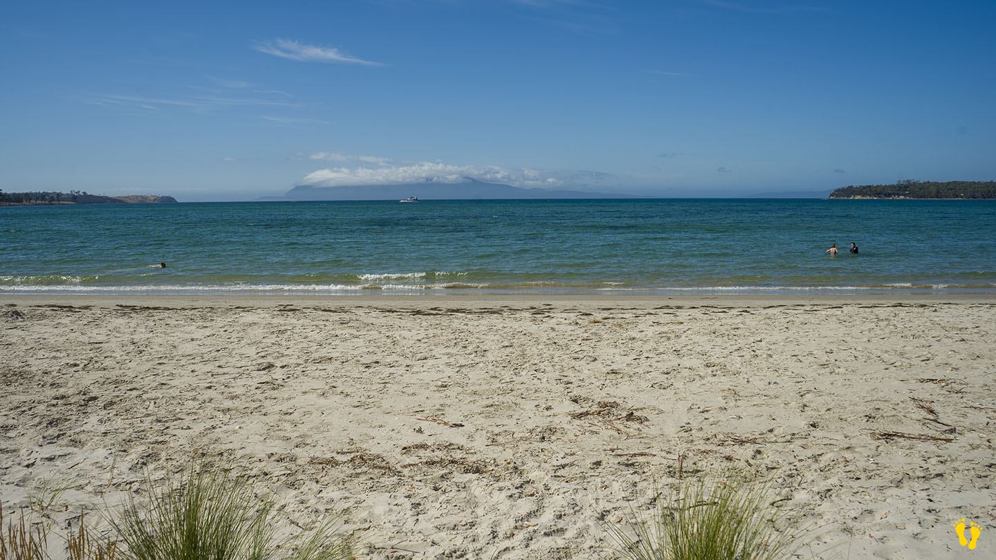
A long secluded beach in a beautiful area on the east coast of Tasmania.
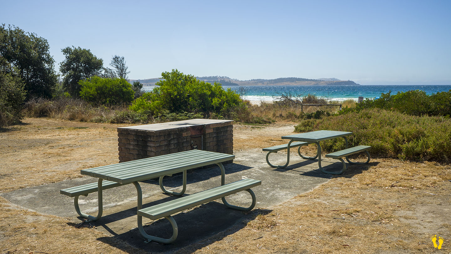
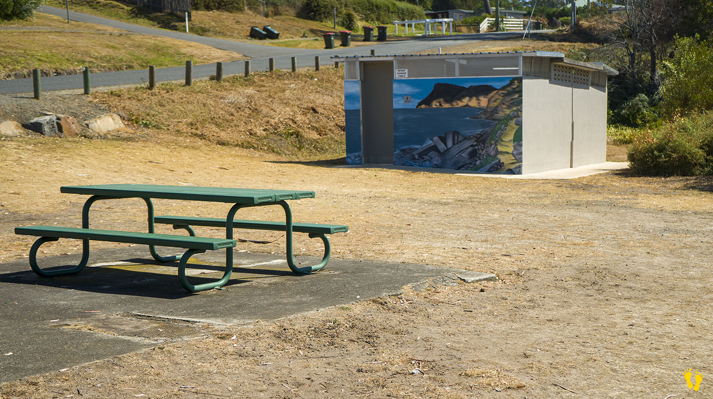
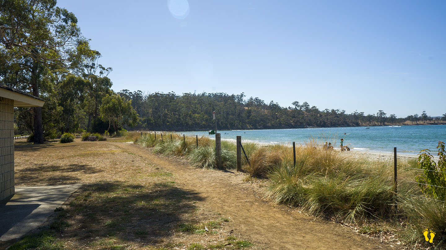
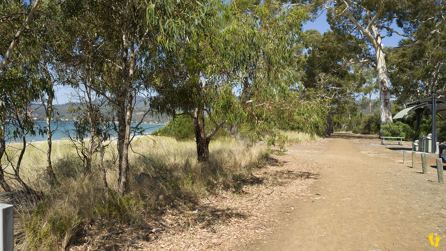
The beach is accessed via Marion Bay Road. Access to the beach is a 100 – 200 m walk from the car park. Basic amenities include toilets.
The north end has 5 more beaches – Woody, Eagles, Shelly,Pine Creek and Bluff beaches – all have limited access mainly from tracks.
Bream Creek is parallel to the beach, which sometimes joins up with the sea. Fishing is good from the beach or creek behind.
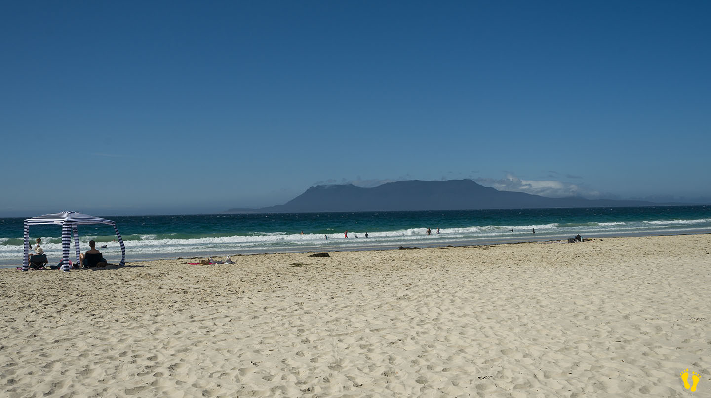
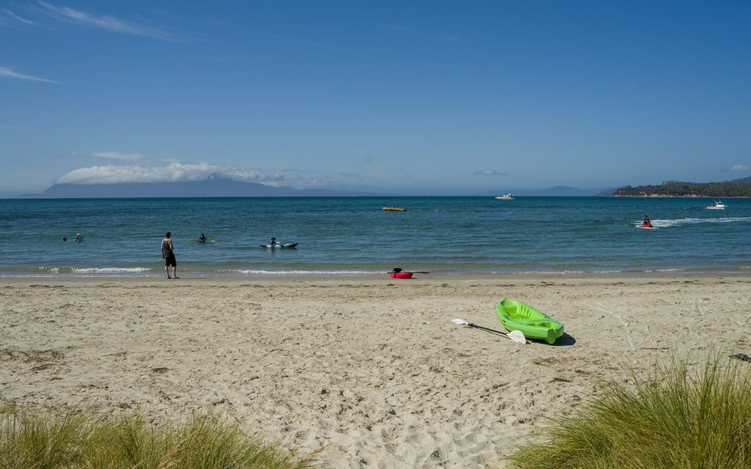
Named after a French explorer Marion du Fresne, a ship captain who explored in 1772. Views of Maria Island to the northeast and a small island called Visscher Island to the southeast.
The beach sometimes has minor surf but a well-known surf break on the southern end called ‘Boneyard’ is considered one of Australia’s best right-handers when working.
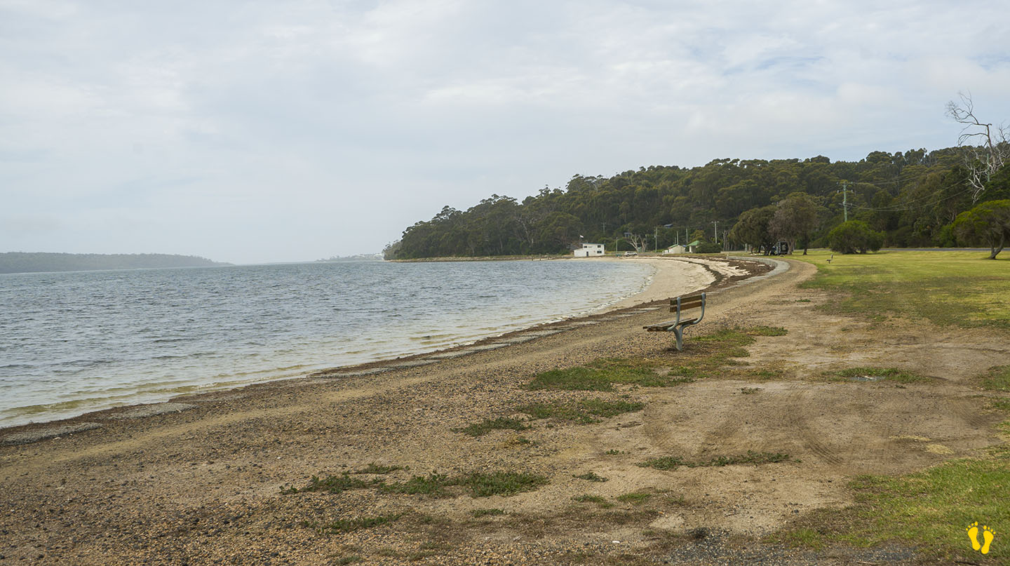
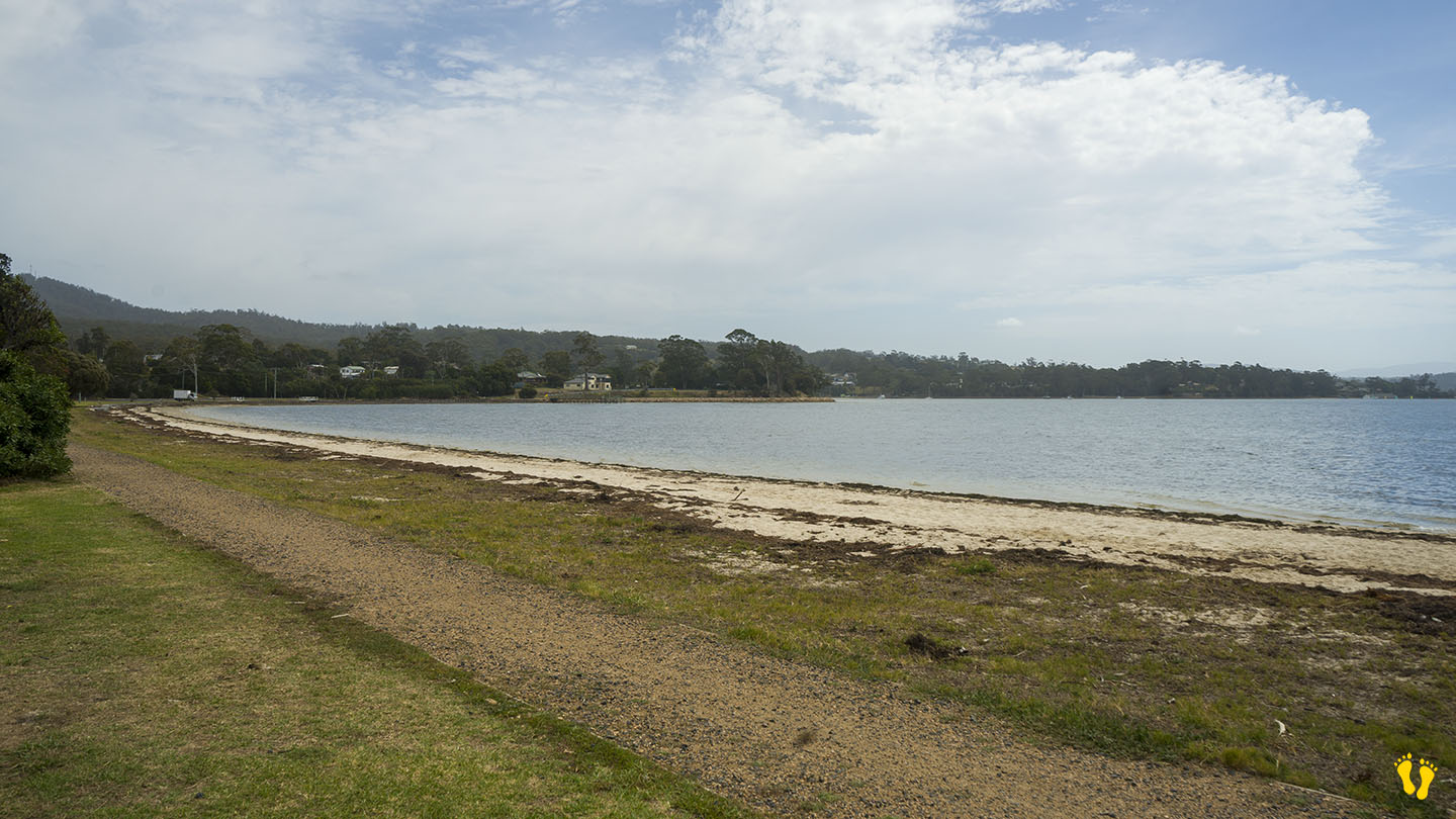
Hazard Rating: 2-3/10 | Parking: Good + close | from Hobart: 80 km | Faces: East into Prosser Bay | Length: 1km
Milligtons Beach is on the south side of the bridge in Orford and is effectively a continuation of Raspins\Orford Beach after you cross the Prosser Rivermouth.
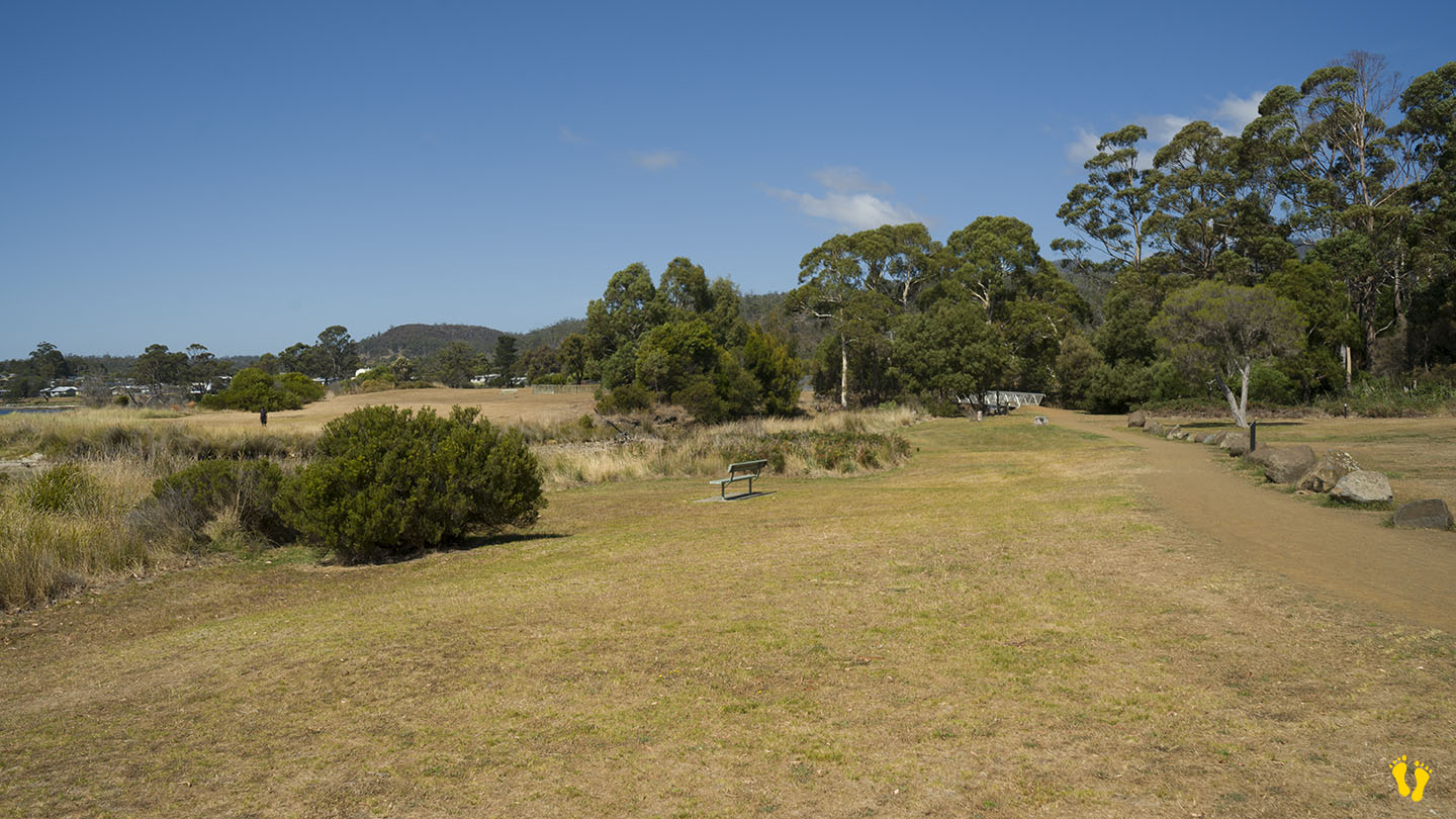
A quiet, somewhat unknown beach to visit with a park called ‘Our Park‘ close to the beach with toilets and BBQs.
You can access the beach via the playground or further south via Rudd Avenue.
Named after Harold Millington, who built a house near the beach in 1925 – currently available for overnight stays at Millingtons House.
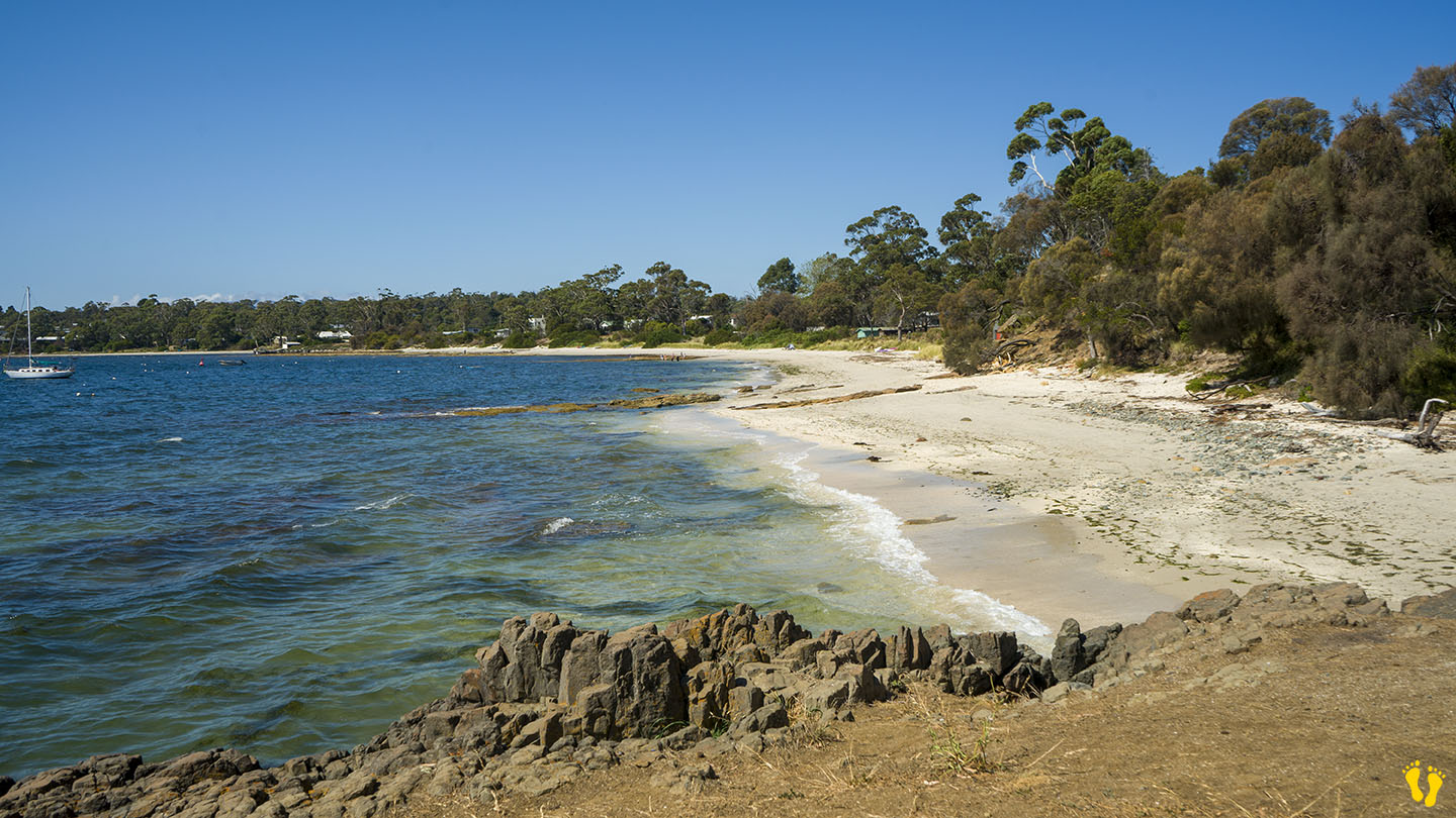
East Coast | Hazard Rating: Low | Parking: Minimal | from Hobart: 82 km | Faces: North into Prosser Bay | Length: 900 m
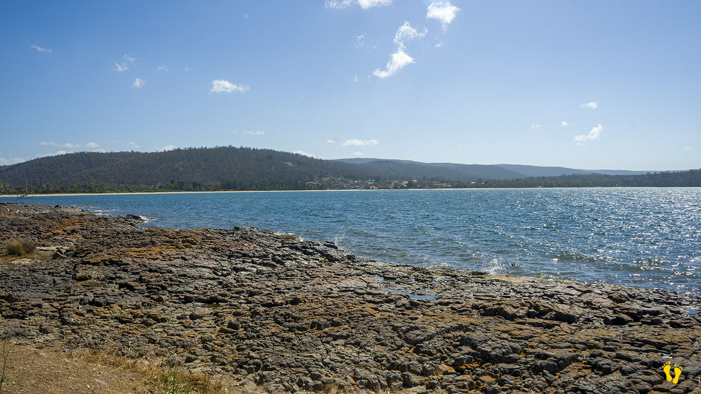
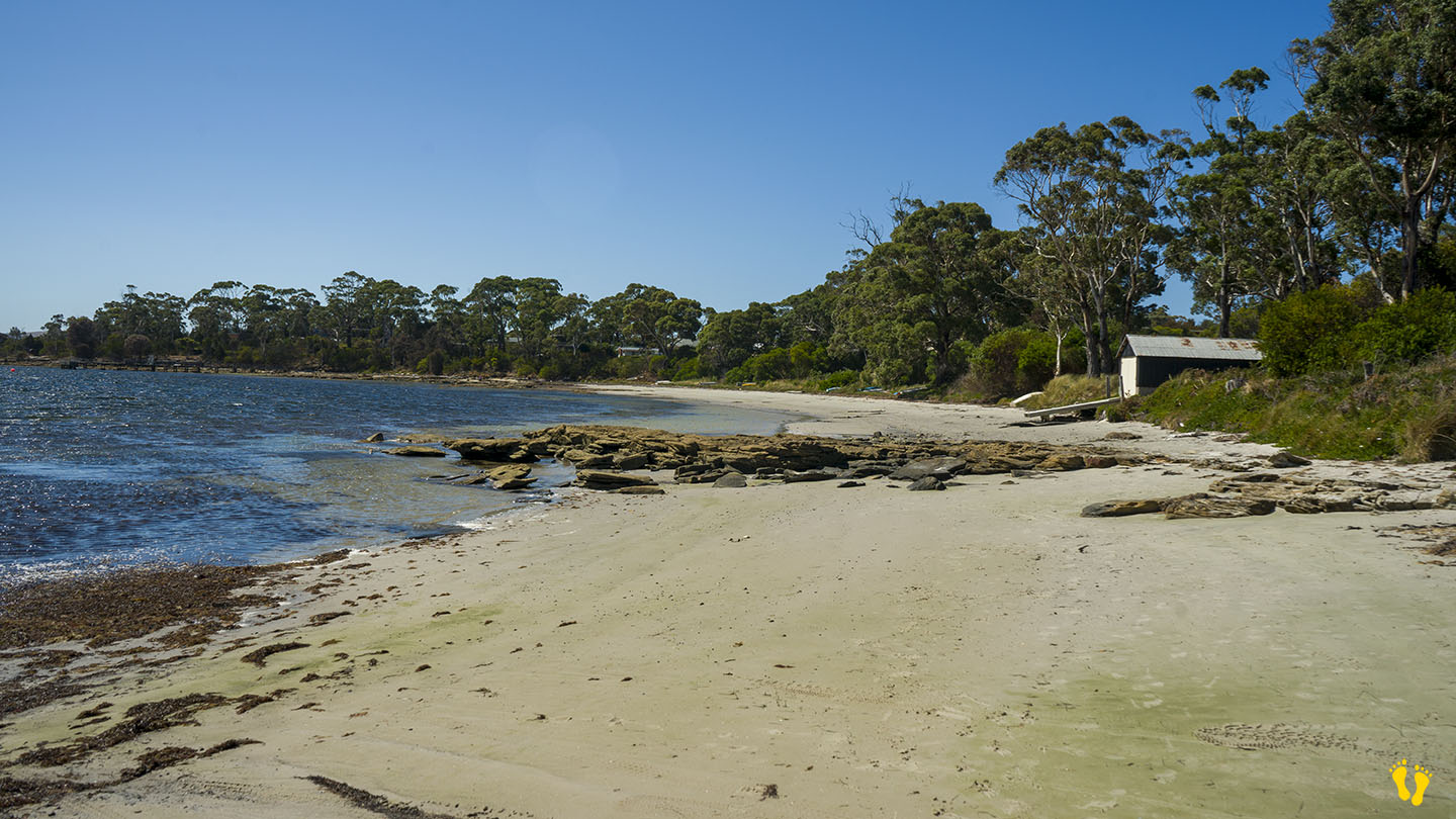
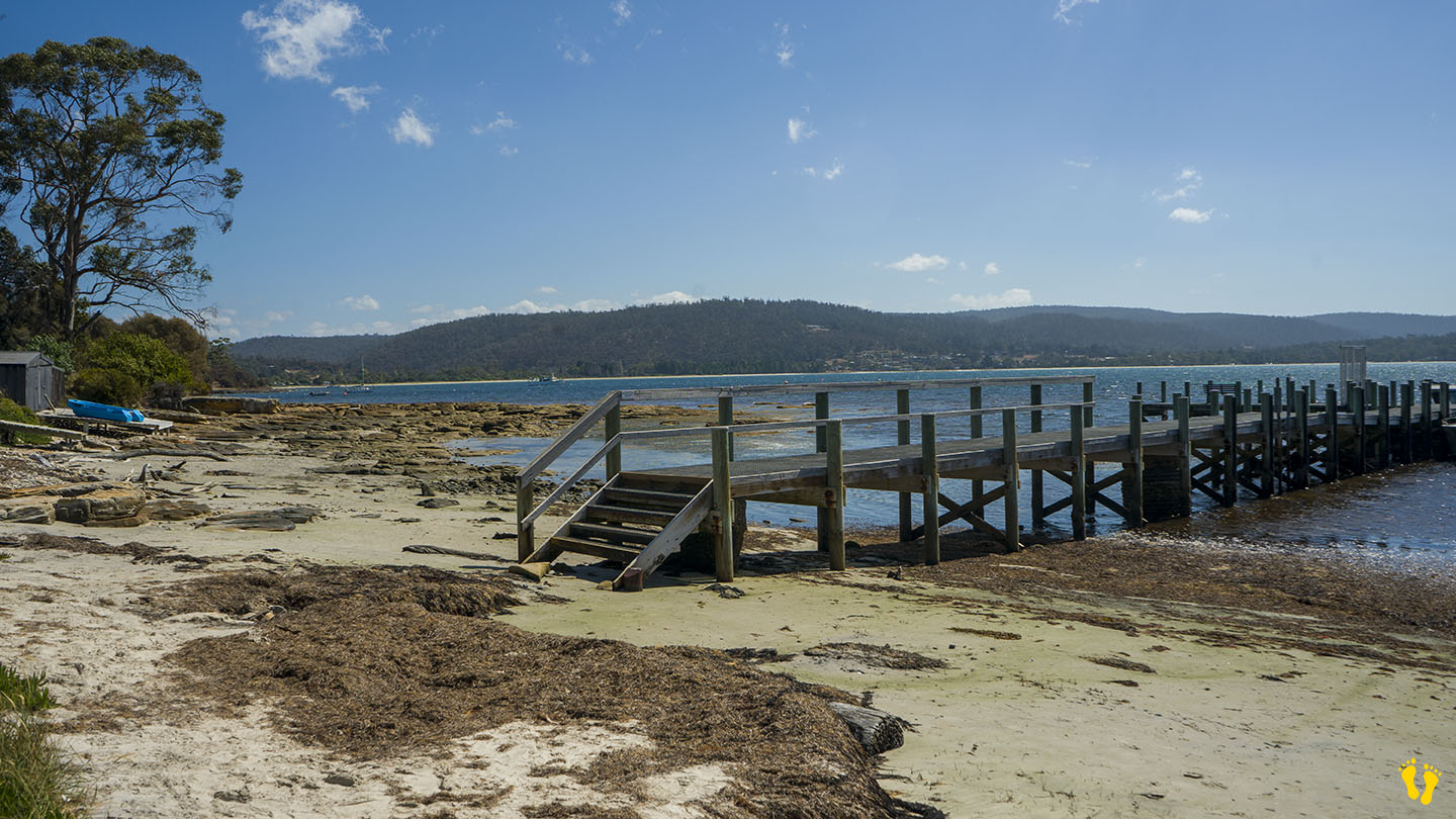
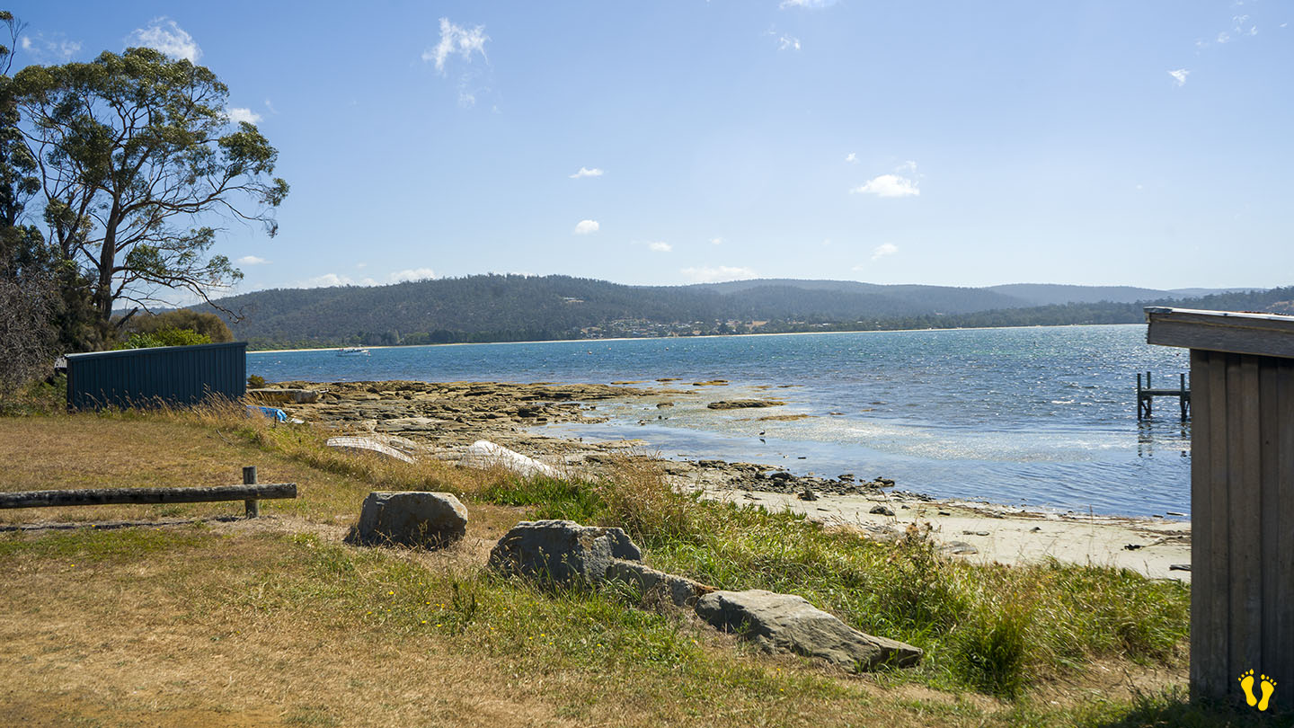
Shelley Beach is made of West Shelley and East Shelley Beaches with a rocky outcrop in between. Entry on the west end is via Jetty Road and down a short dirt road, with limited parking and no amenities. The east end is accessed via East Shelley Road (shown as E Shelly Road on Google Maps). Again, there is limited parking and no amenities.
A nice beach but with limited access and surprisingly not many shells! Also confusion on the spelling (Shelly vs Shelley).
EAST COAST | Hazard Rating: 2-3/10 | Parking: Good + close | from Hobart: 80 km | Faces: SE into Prosser Bay | Length: ~ 1km
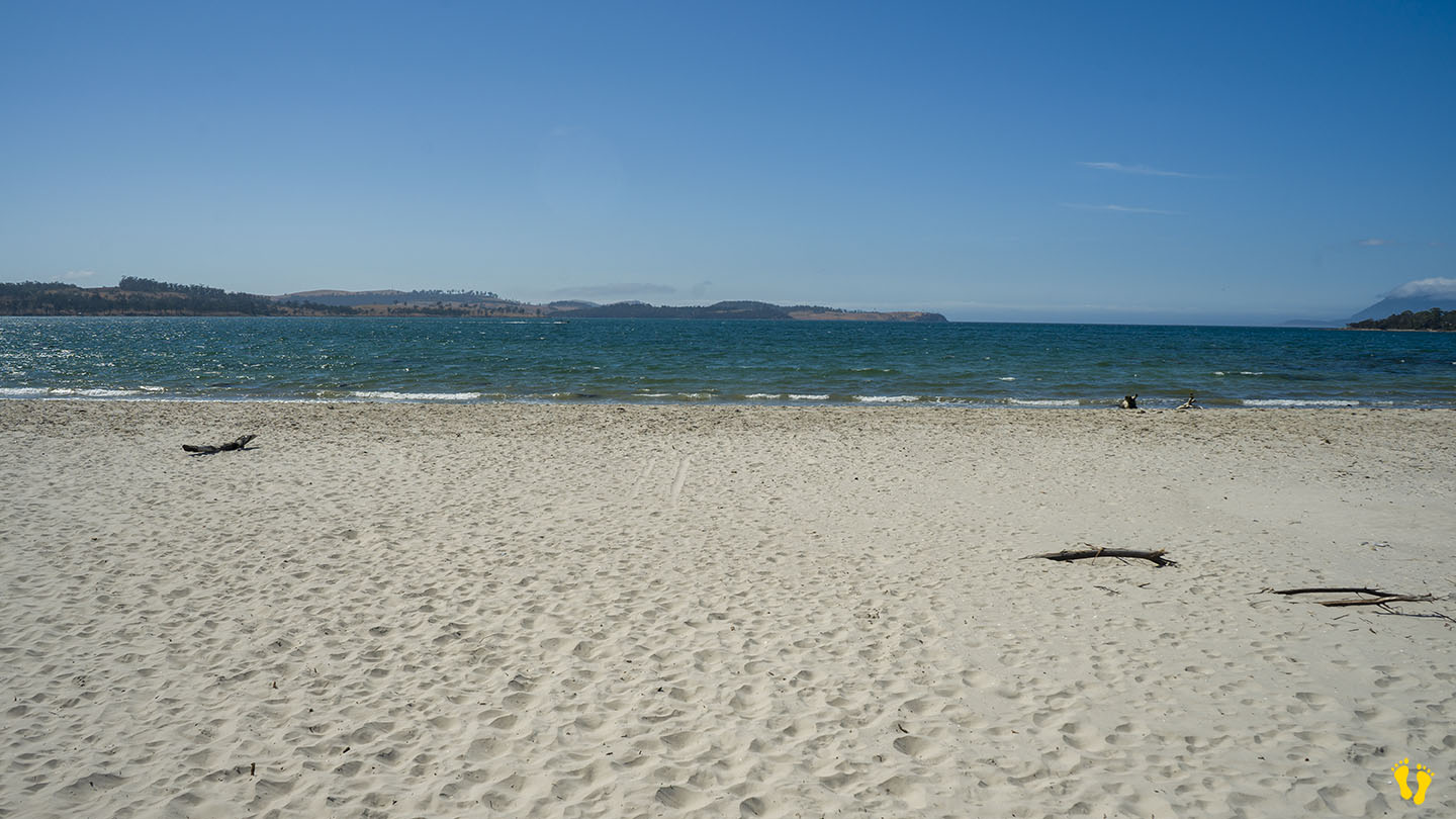
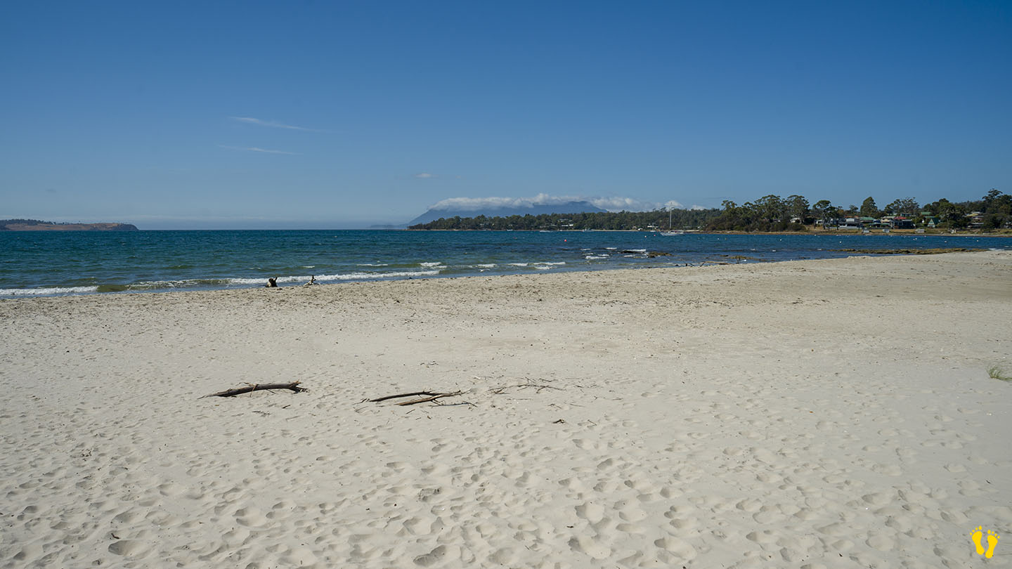
Raspins \ Orford Beach is just north of Orford on the east coast of Tasmania. A great for families, with views of Toarra-Marra-Monah (Maria Island).
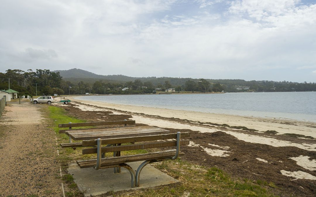
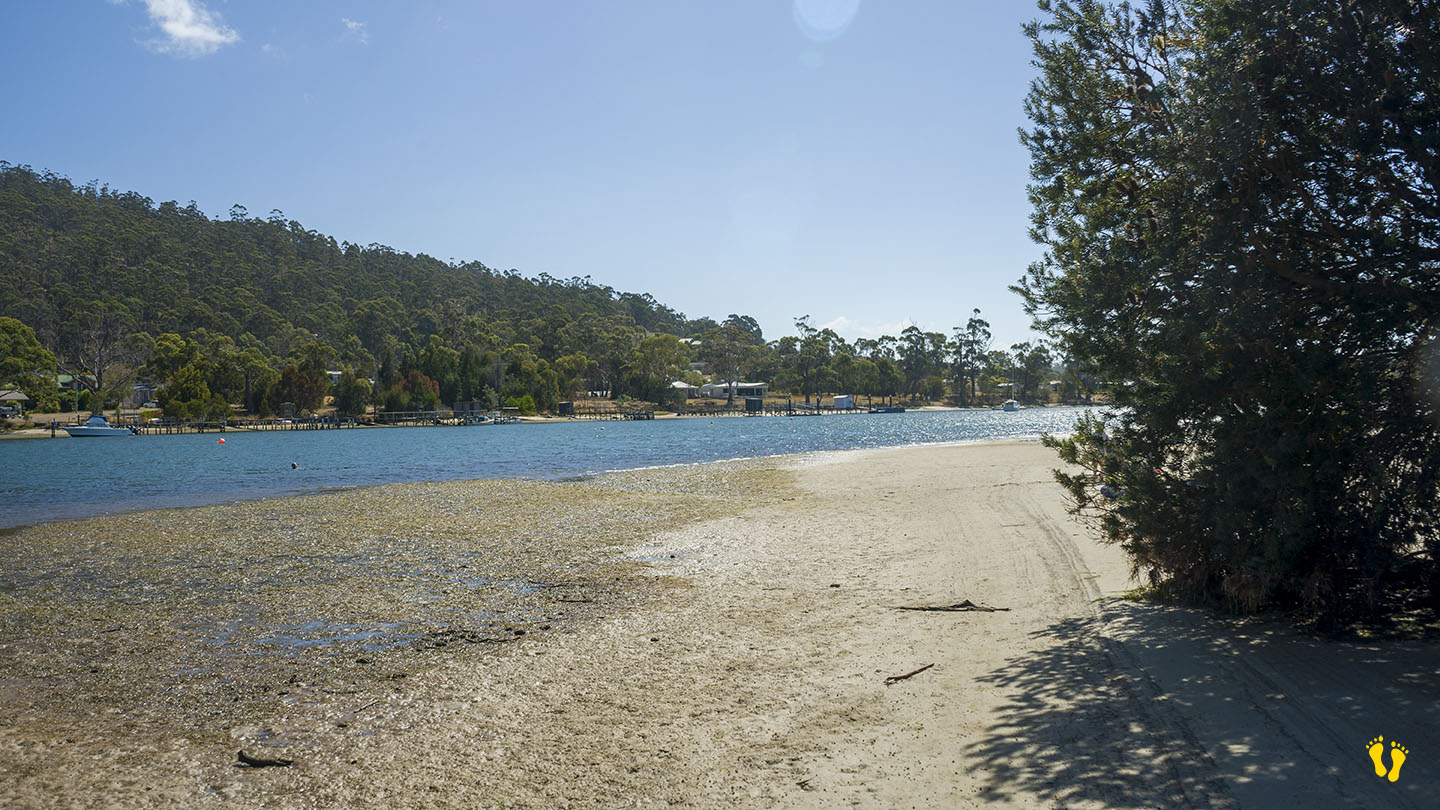
Starting as ‘Raspins Beach’ at the north end and blending into ‘Orford Beach’ at the south end, and then ending at the Prosser Rivermouth. Toilets mid-beach and good parking from several entry points along its length. Alas, although I spent many a summer camping here – that is no more – it is now only a day visit area with BBQ’s, park and walk areas and ideal for a swim or canoe\kayak. If lucky you may see a whale in Prosser Bay.
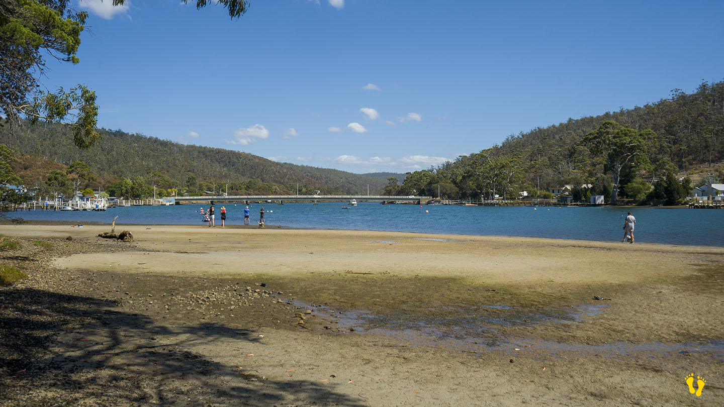
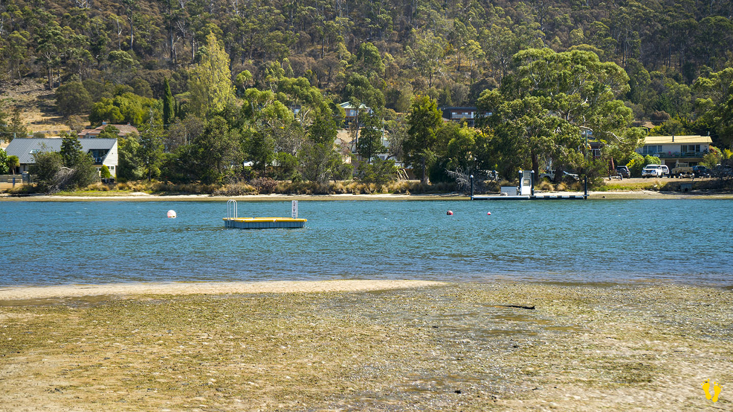
Crossing the bridge to the south and following the Esplanade takes you to another small beach in the Prosser River – not sure what this is called but it is well protected and includes a floating pontoon you can swim to.
Original people: The original inhabitants of the Orford area were the Paredarerme, also known as the Oyster Bay tribe. Historians estimate that they were the largest of the Tasmanian tribes. They tended to migrate inland during the warmer months but stayed on the coast in autumn and winter.
Orford comes from an English name made up of Old English – ‘ora’ (river bank) and ‘ford’ (river crossing), named after the Earl Orford.
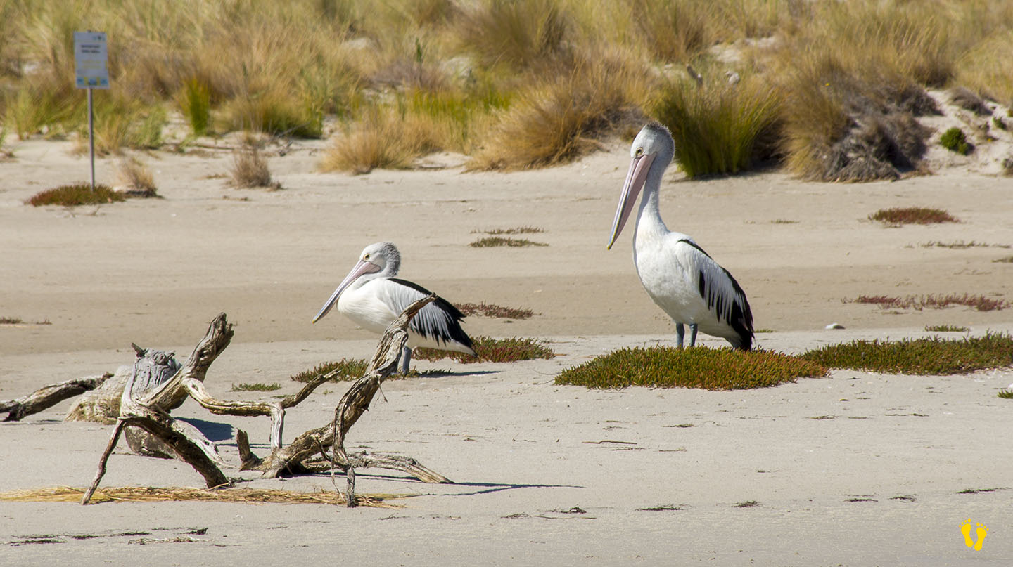
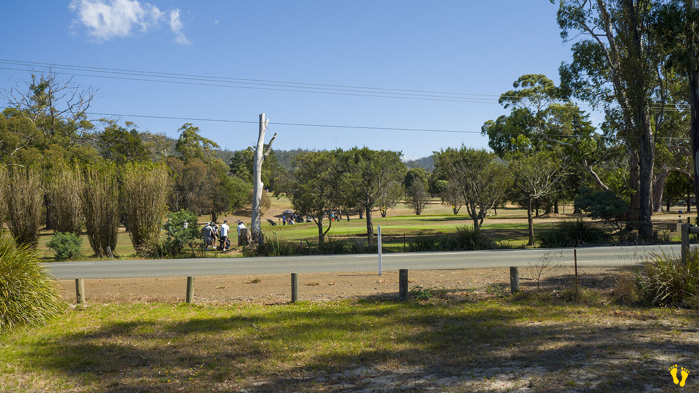
Originally named ‘North Beach’ it was renamed ‘Raspins Beach’ after a family who owned a farm opposite the beach. The farm was sold to become the golf club in 1957. Areas of the beach to the south are being regenerated and protected to encourage bird and fauna life including a bird sanctuary.