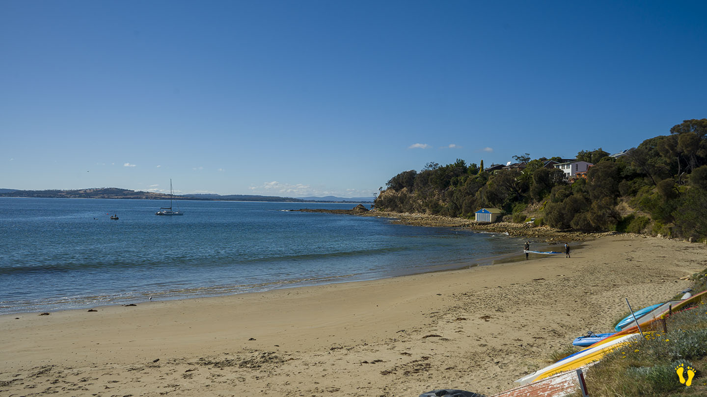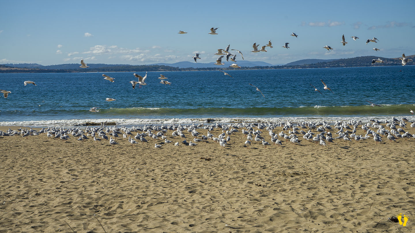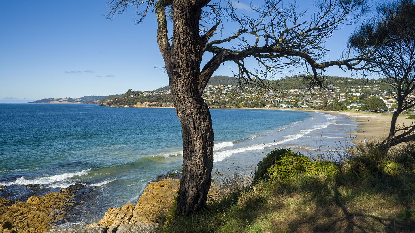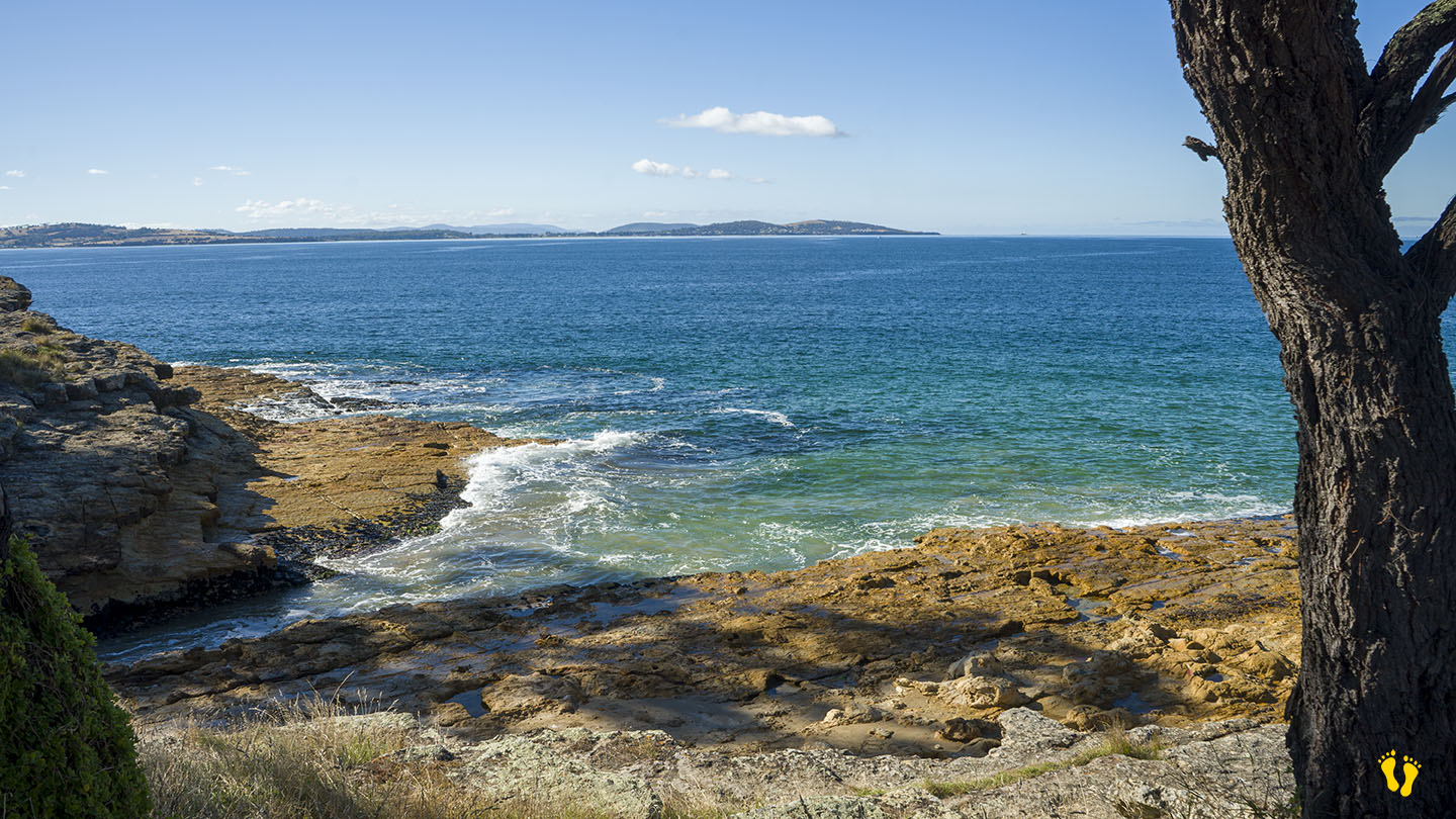
Best swim, surf and fish beach
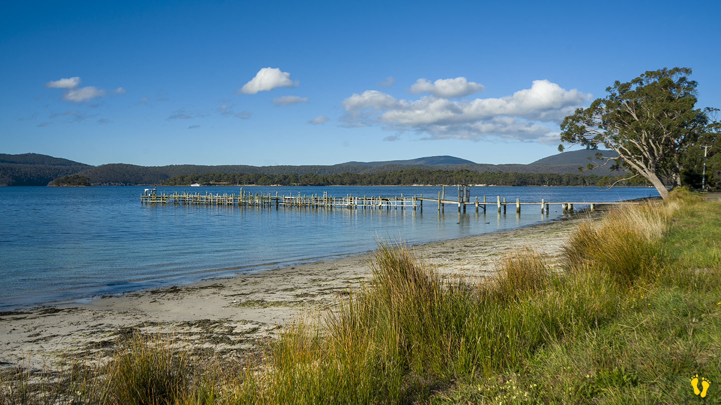
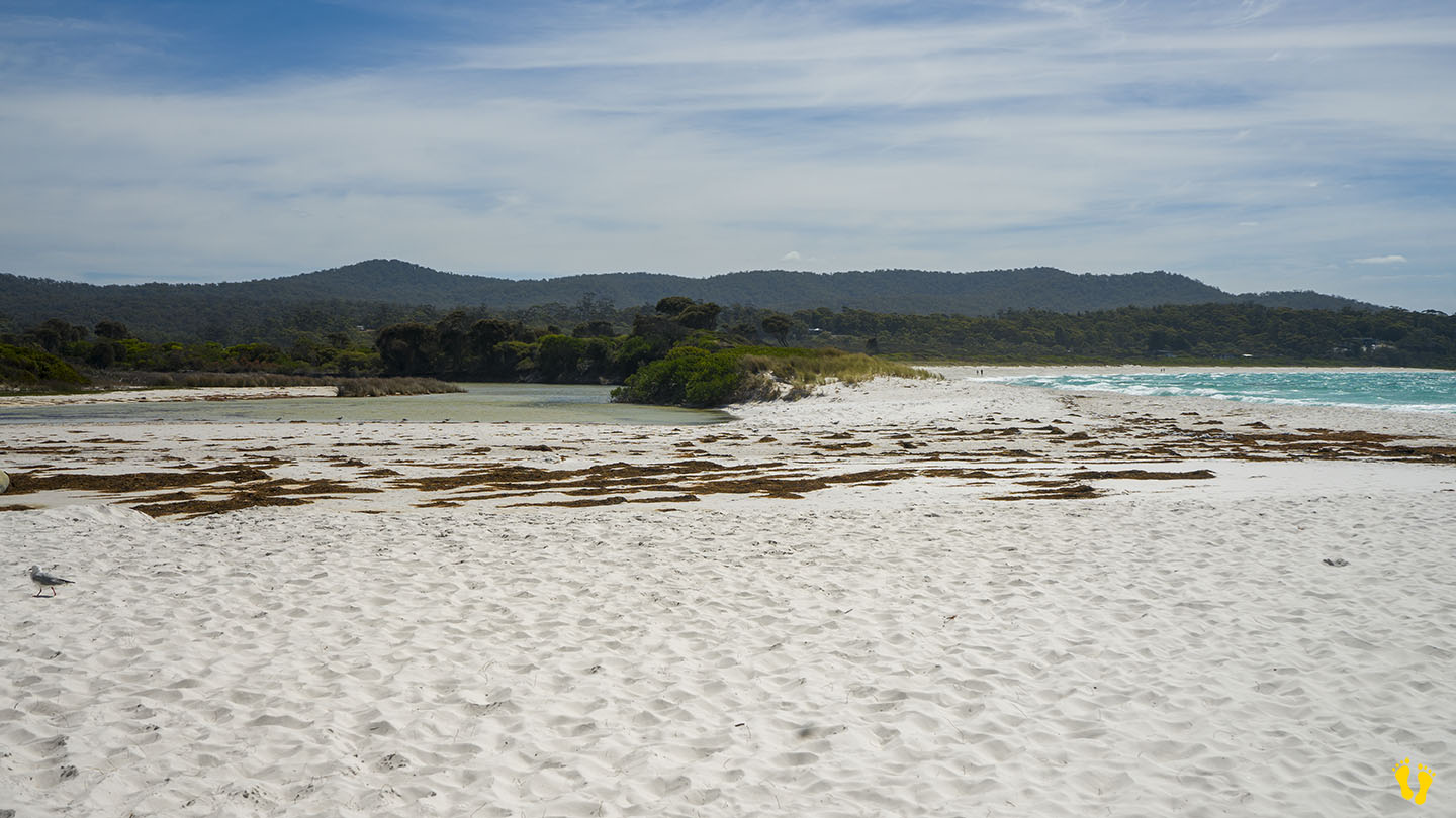
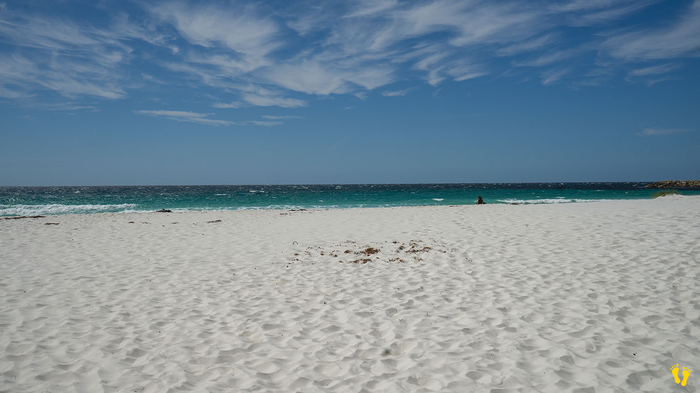
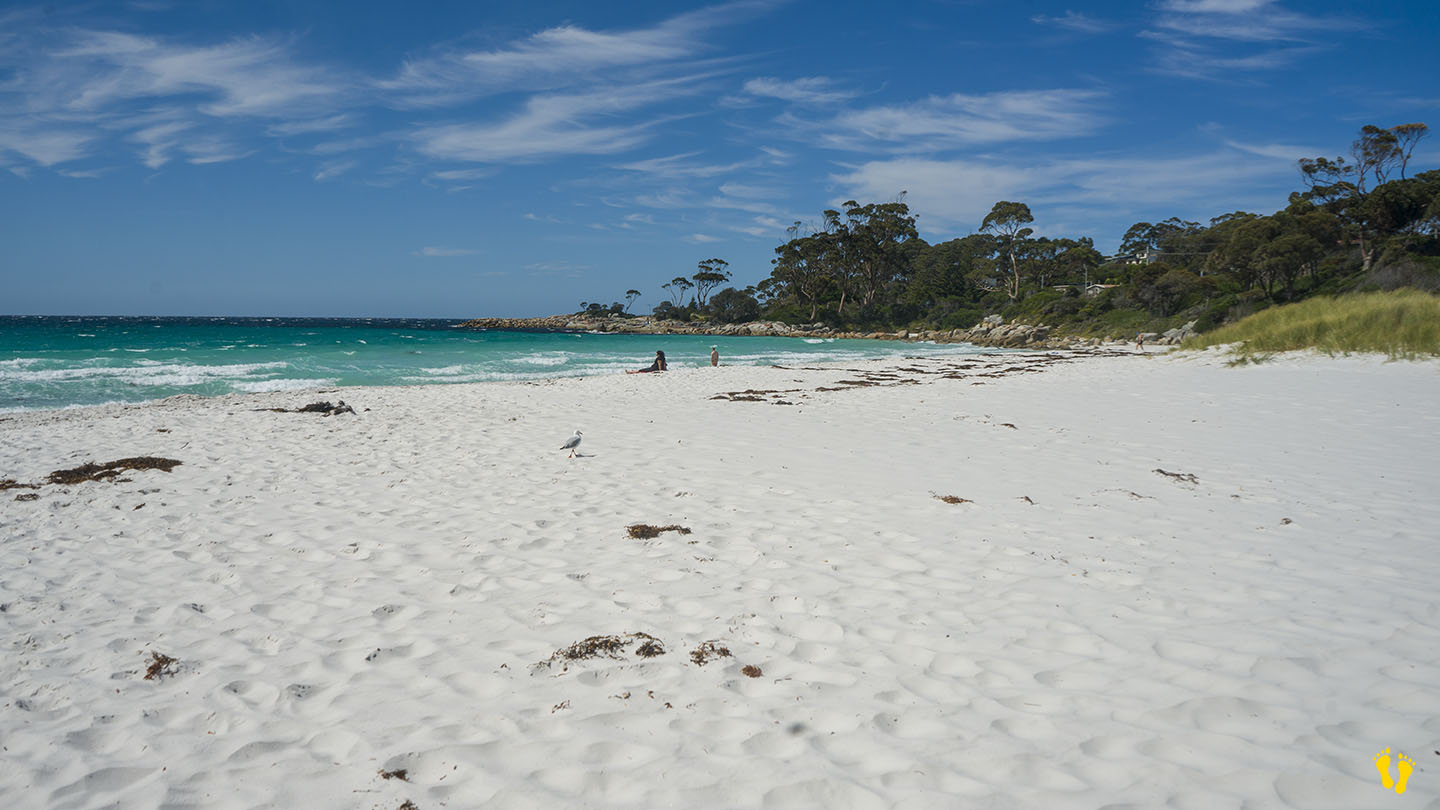
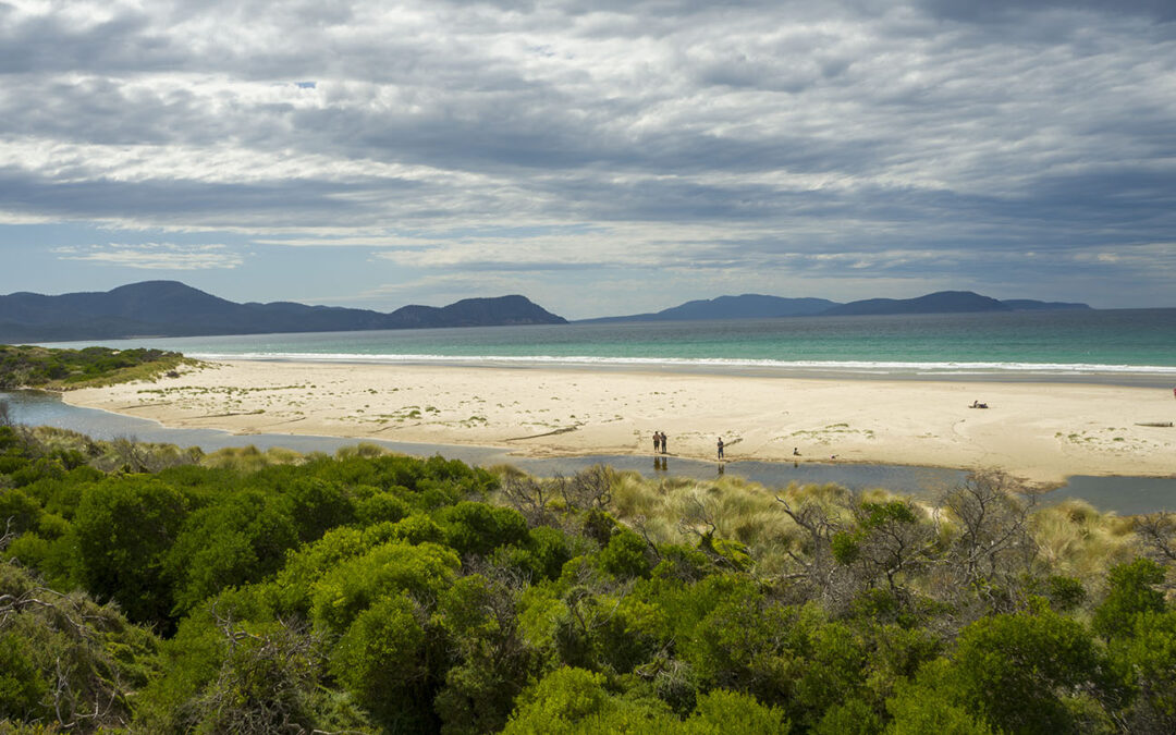
Marion Bay Beach is an isolated beach with everything to offer. Swim, surf or fish along a very long beach with great surf at one end and fishing along its entire shore and creek behind.

Marion Bay Beach is an isolated beach with everything to offer. Swim, surf or fish along a very long beach with great surf at one end and fishing along its entire shore and creek behind.
Near Port Arthur |
Hazard Rating: 1/10 | Parking: Roadside | from Hobart: 92 km | Faces: NE into Carnarvon Bay | Length: 1 km
Original Name: Turrakana, the homeland of the Pydairrerme (Tasman Peninsula’s Aboriginal people)
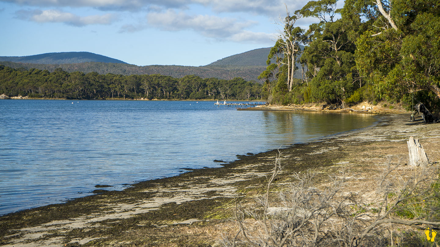
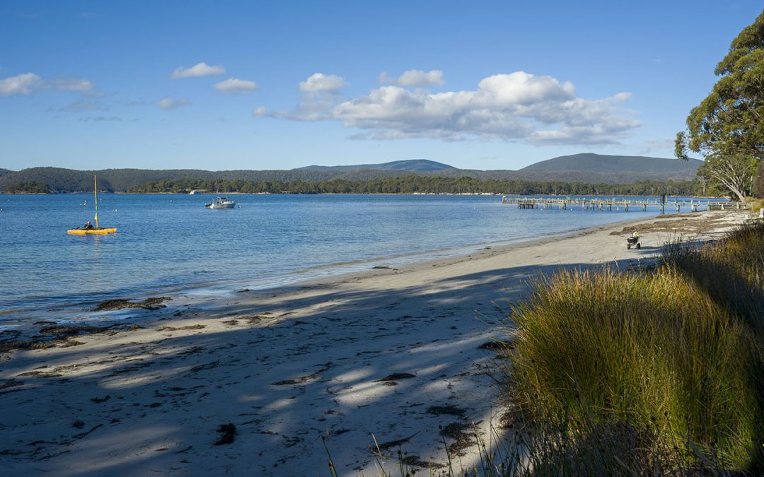
Big Possum Beach is on the Tasman Peninsula 1.5 km south of Port Arthur on Safety Cove Road on the way to Remarkable Cave.
A small quaint unknown roadside beach ideal for families and kids.
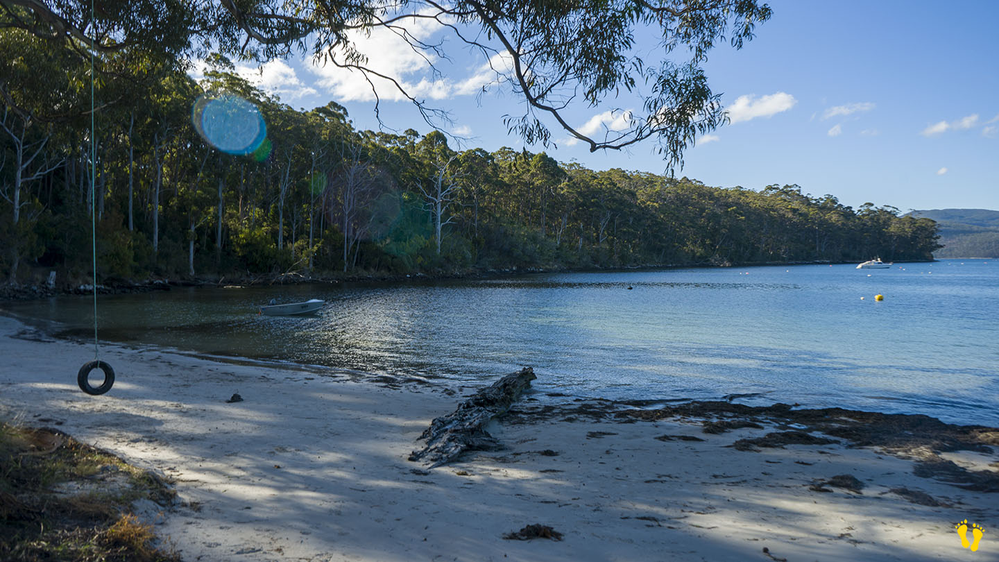
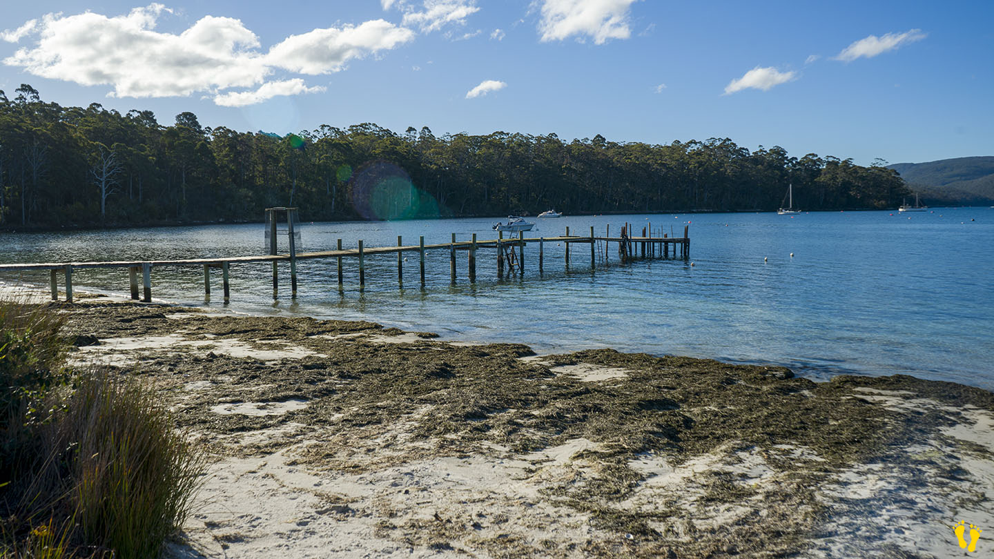
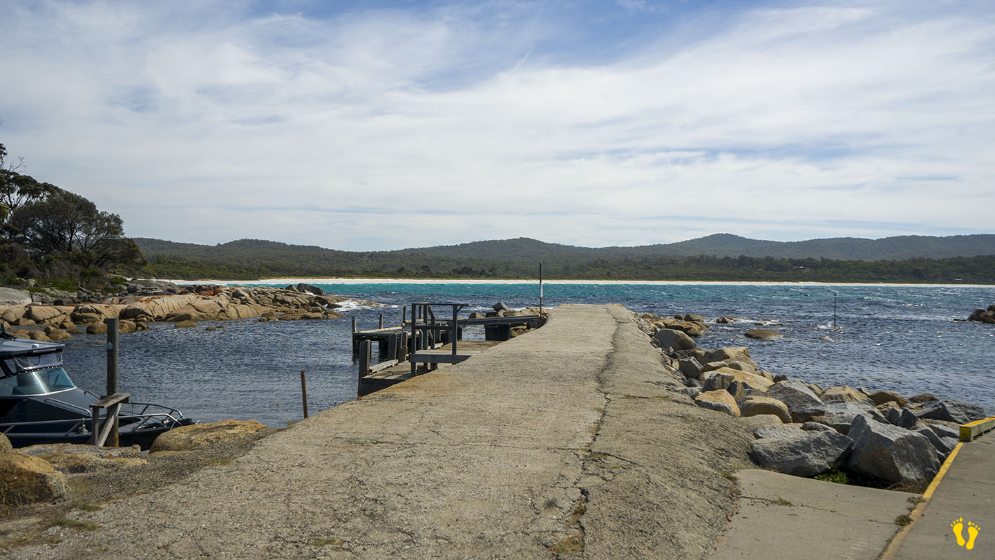
Walk, swim, paddle, swing on an old-style tire swing, walk out on a somewhat suspect jetty or watch bird life while taking in the stunning views across Carnarvon Bay.

Near: Bay of Fires & St Helens | from Hobart: 250 km | Launceston: 175 km
Hazard Rating: 5/10 | Parking: Good + close | Faces: NE into Tasman Sea | Length: 1.6 km
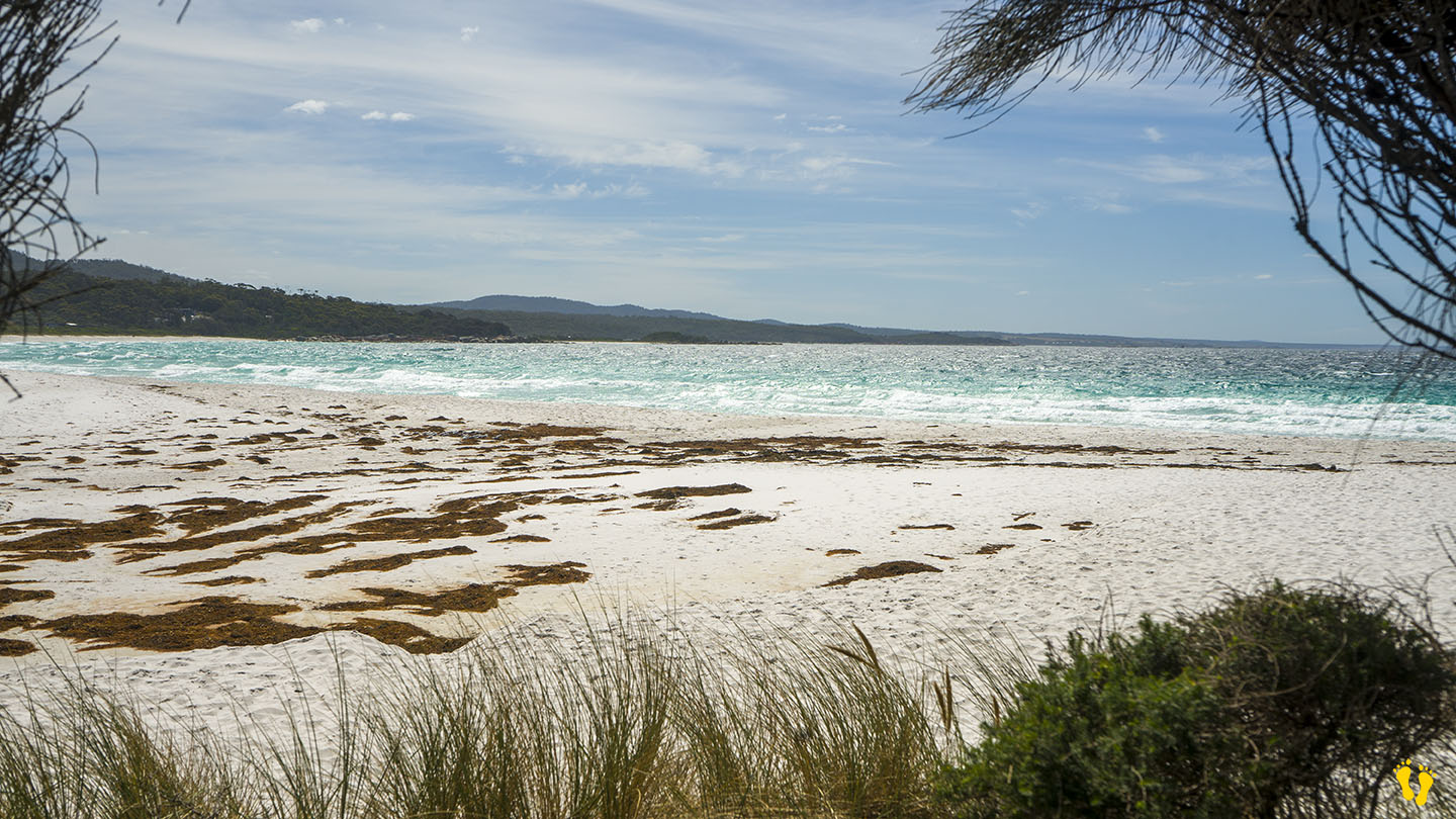
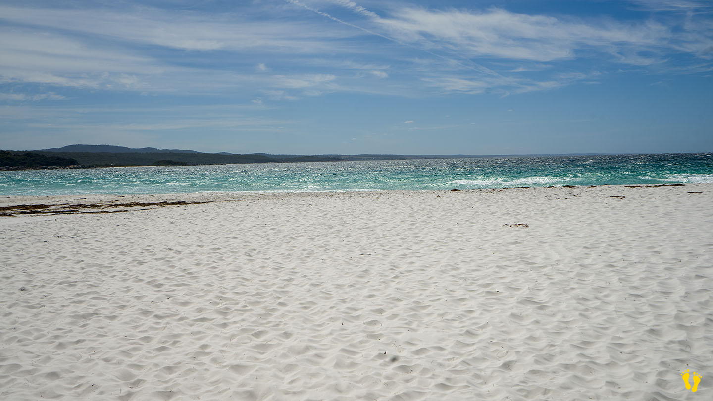
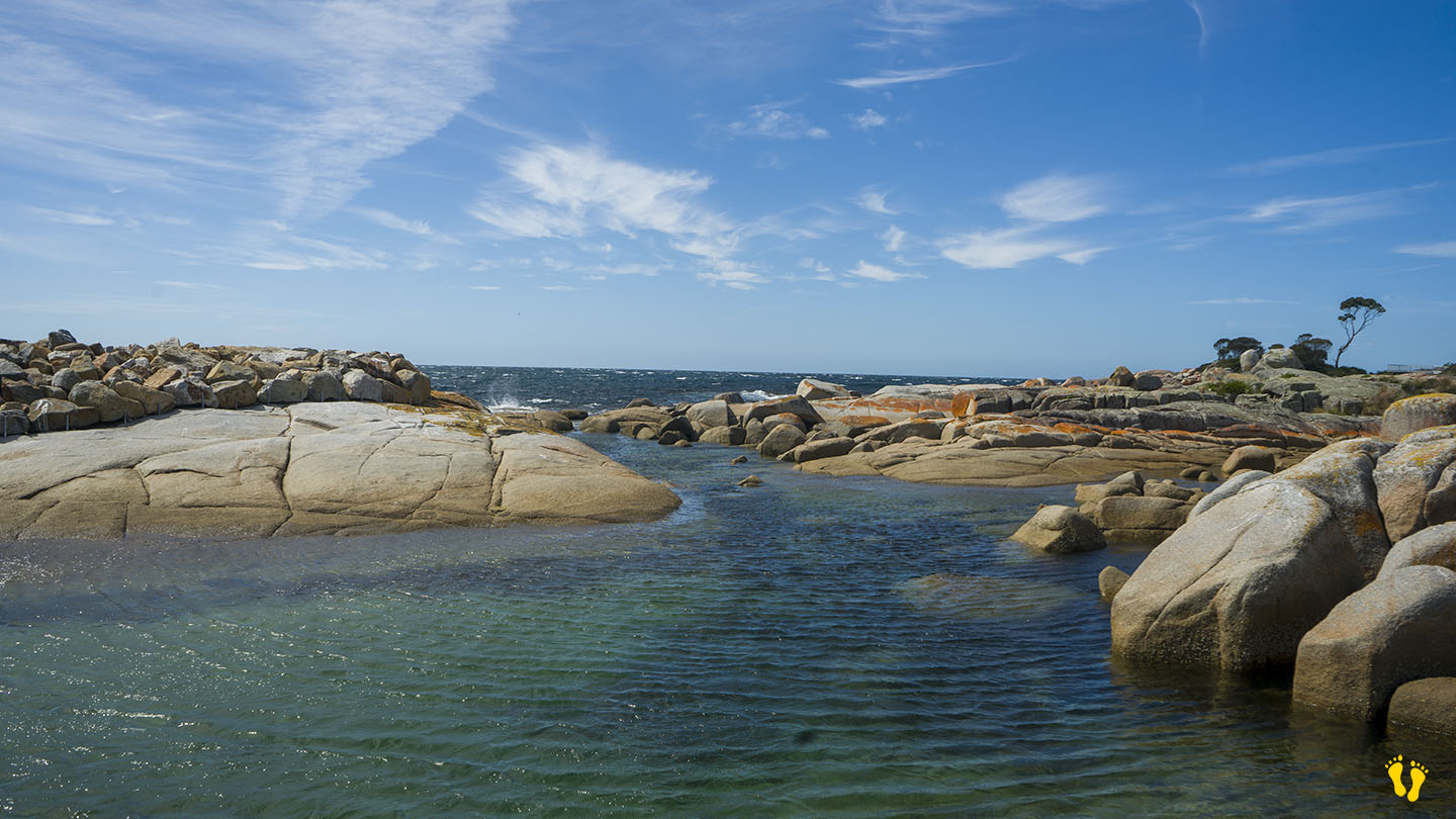
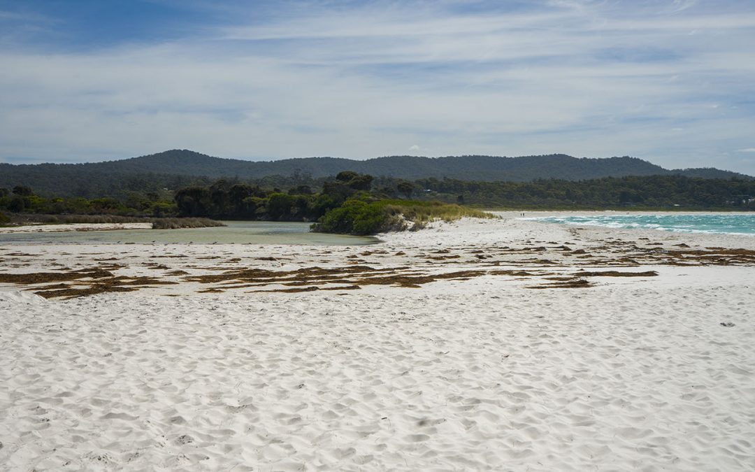
Binalong Bay Beach is in Binalong Bay and part of the Bay of Fires. Clear blue water and pristine white sand make this an ideal beach for a swim or walk with rocks to the east for a picnic or snorkel. Sometimes has small surf and rips. Good fishing from the beach.
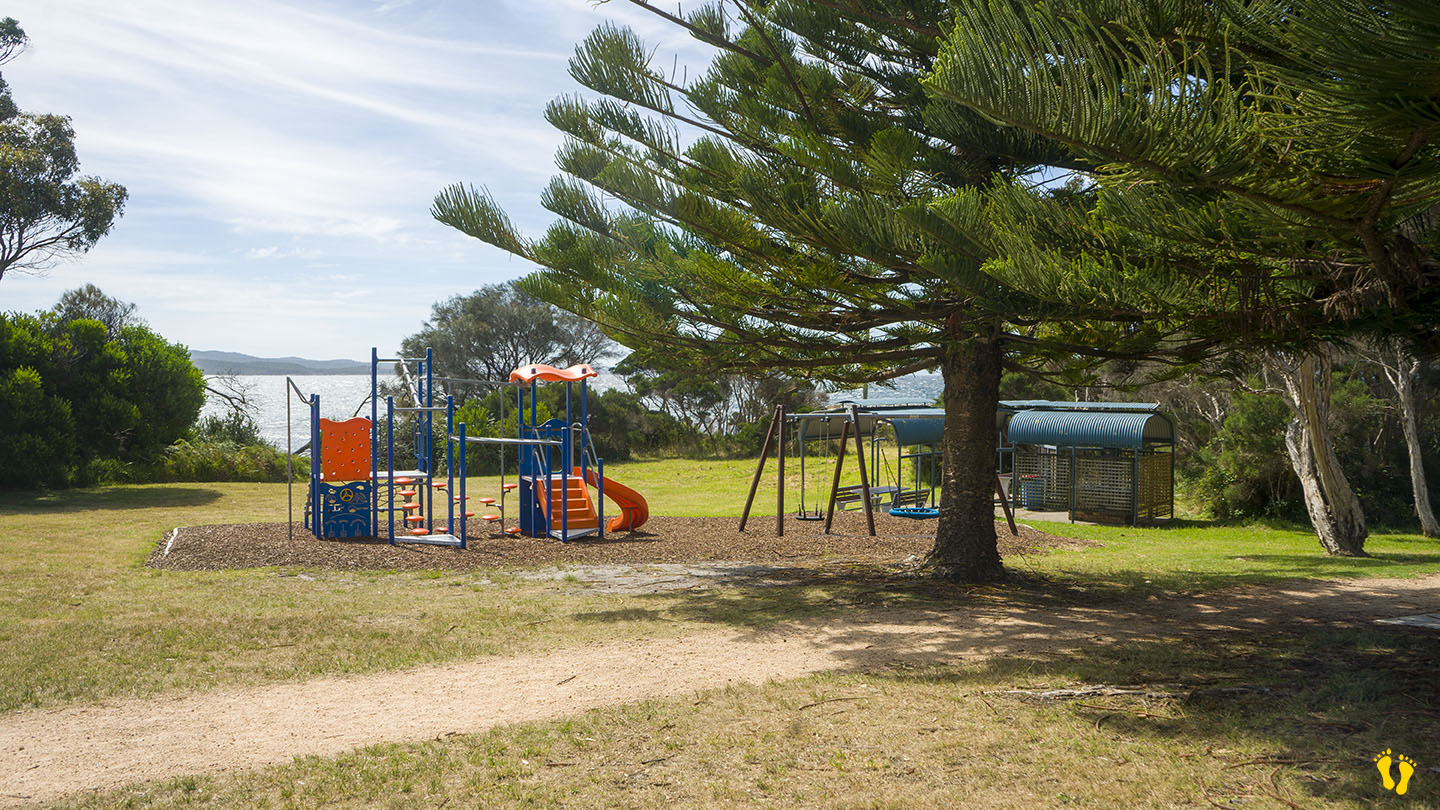
There are two toilet blocks, a small playground, a BBQ area and a tennis court. Main access and parking is on the south end – with limited access and parking at the north end off Lyall Road. A boat ramp at Skeleton Bay just east of the beach.
Grants Lagoon, which backs the beach (usually closed to the sea) has camping sites.


South of Kingston |
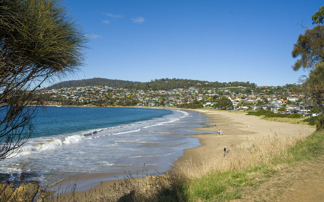
Hazard Rating: 4/10 | Parking: Good + close | from Hobart: 17 km | Faces: East into Blackmans Bay | Length: 1 km
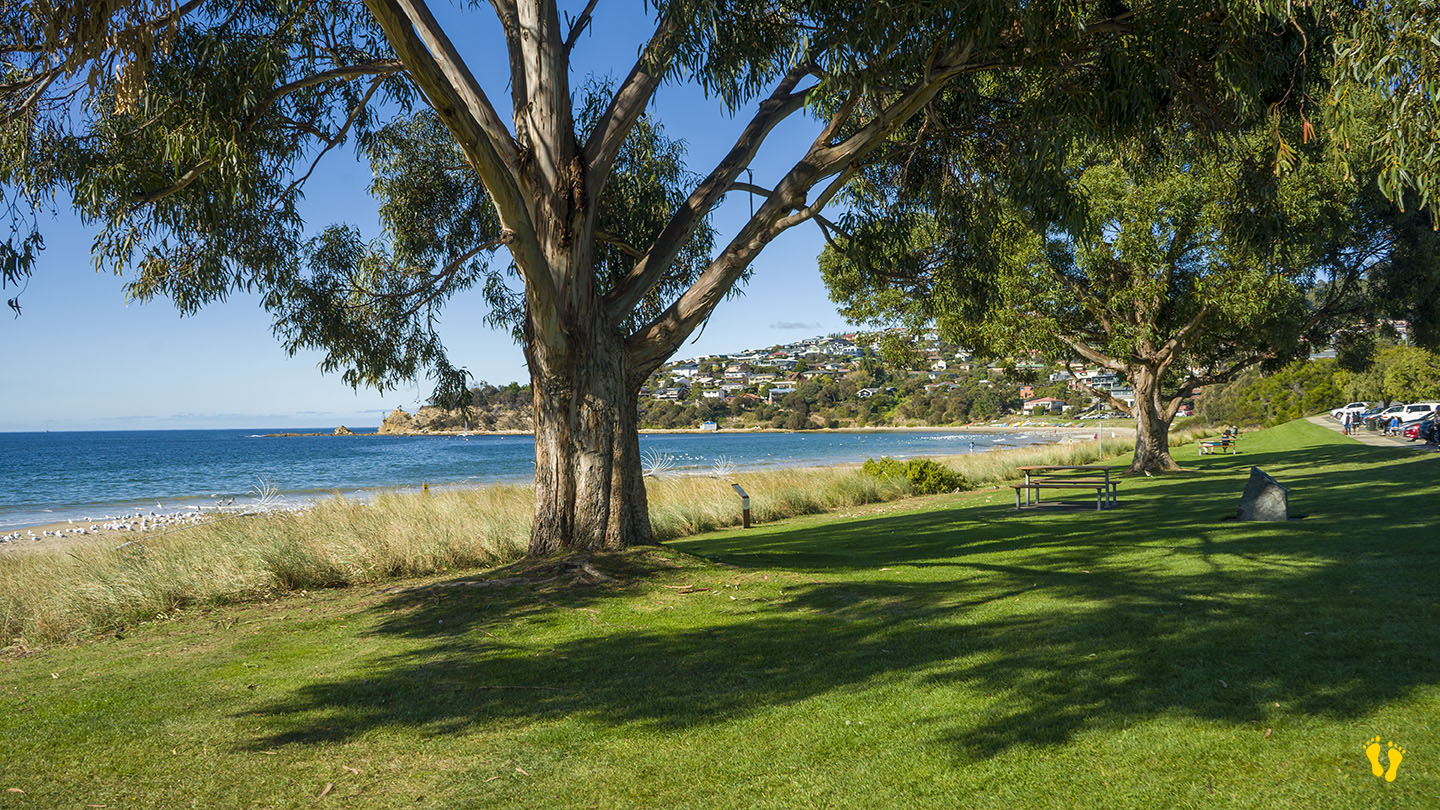
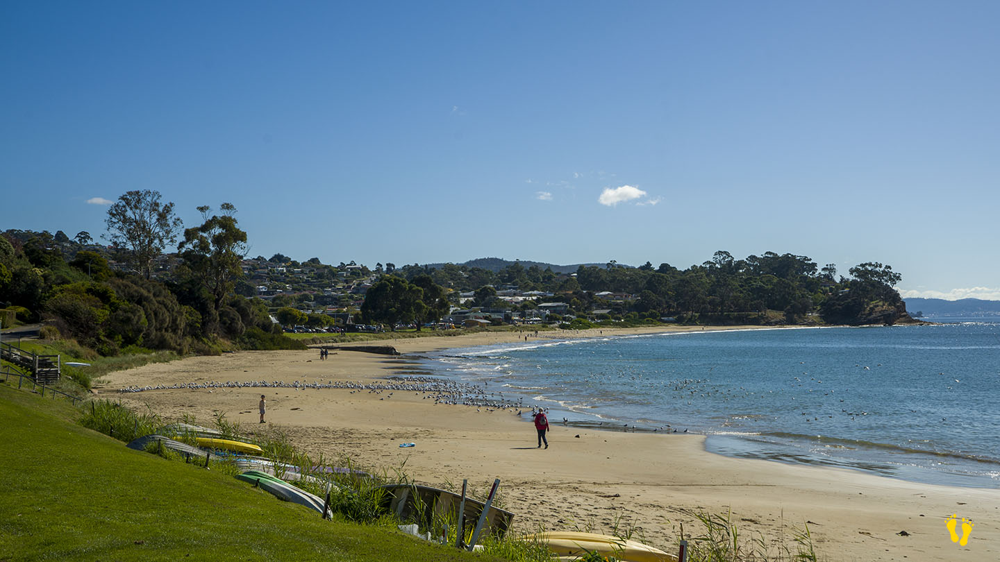
Located in Blackmans Bay with rocky areas and a blowhole to the north and Flower Pot Point and more rocky areas to the south end.
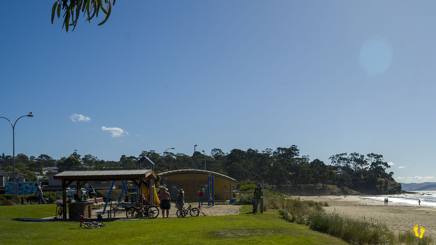
Many parking places along the shore with a park and toilets in the middle. Grassy areas for picnics. Food and drinks close to the beach.
It was probably named after a landholder in 1820 named James Blackman.


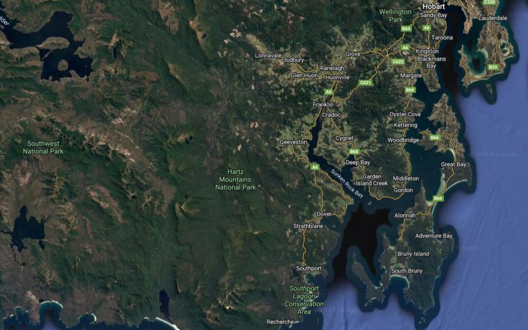
Bruny Island is a large island situated south of Hobart. The only way to access the island is via a ferry from Kettering (unless you have your own boat). The cost is about $60 which gets you there and back.
The original people were the Nuenonne who called the island Lunawannalonna. Their name was later used to create the names of the towns – Lunawanna and Alonnah.
Before the arrival of European settlers, the Nuenonne people inhabited the Island, part of the larger Southeast Tasmanian Aboriginal nation for over 34,000 years, the Nuenonne lived in harmony with the island’s diverse ecosystem, relying on its abundant resources for sustenance and spiritual connection. Their deep knowledge of the land, sea, and skies enabled them to thrive in this rugged island environment.
The Nuenonne people expressed their cultural identity through art, storytelling, and ceremonial practices. Intricate rock carvings and cave paintings adorn the island’s hidden corners, capturing the essence of their beliefs and daily life. Stories and oral traditions were passed down through generations, preserving the history and wisdom of their ancestors. You should never interfere with any of these places or objects as they are sacred to the original people – look but do not touch!
Bruny Island was eventually inhabited by ‘white’ settlers and this was the start of their downfall.
1642 Abel Tasman was the first recorded European to sight the island.
1773 Tobias Furneaux was the first British explorer to reach the island and anchored at Adventure Bay (named after his ship).
1777 James Cook’s two ships, the Resolution and Discovery stayed in the bay area for two days.
1792 Bruni d’Entrecasteaux, the island is named after the French explorer, who discovered it to be an island and named it Bruni Island.
1918 the spelling was changed to Bruny.
North Bruny Island is quite different from South Bruny Island. The north has open pastures and light bushland and is known to be drier than the south. The south is heavily timbered, hilly and has sections of rainforest.