South Arm |
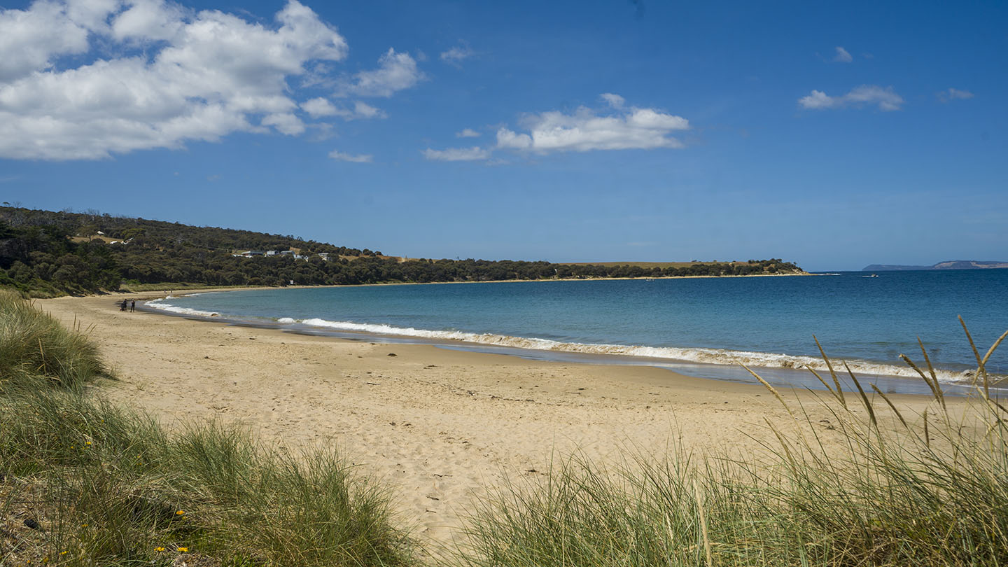
Hazard Rating: 4/10 | Parking: Good + close | from Hobart: 41 km | Faces: South-ish into the Derwent River | Length: 800 m
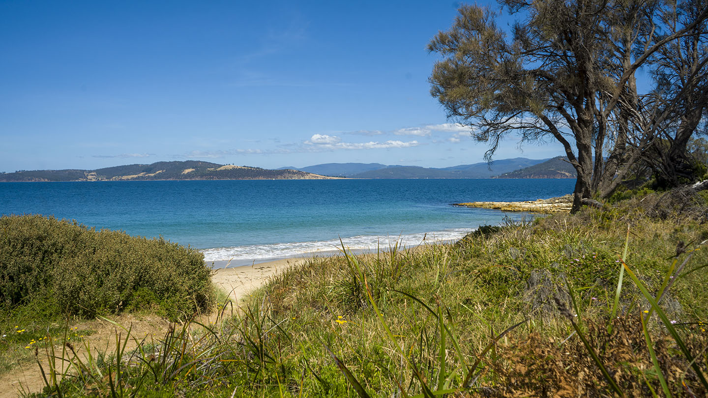
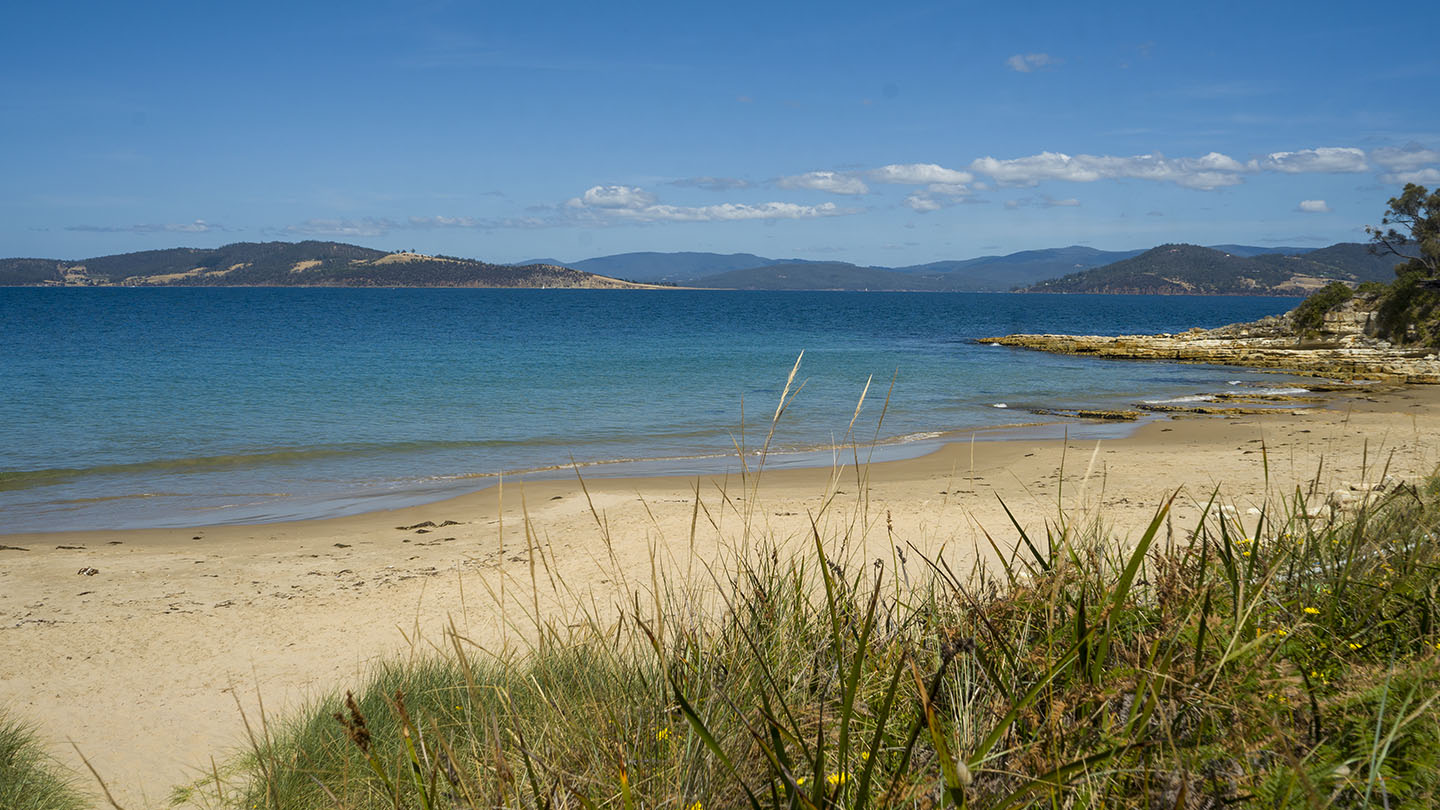
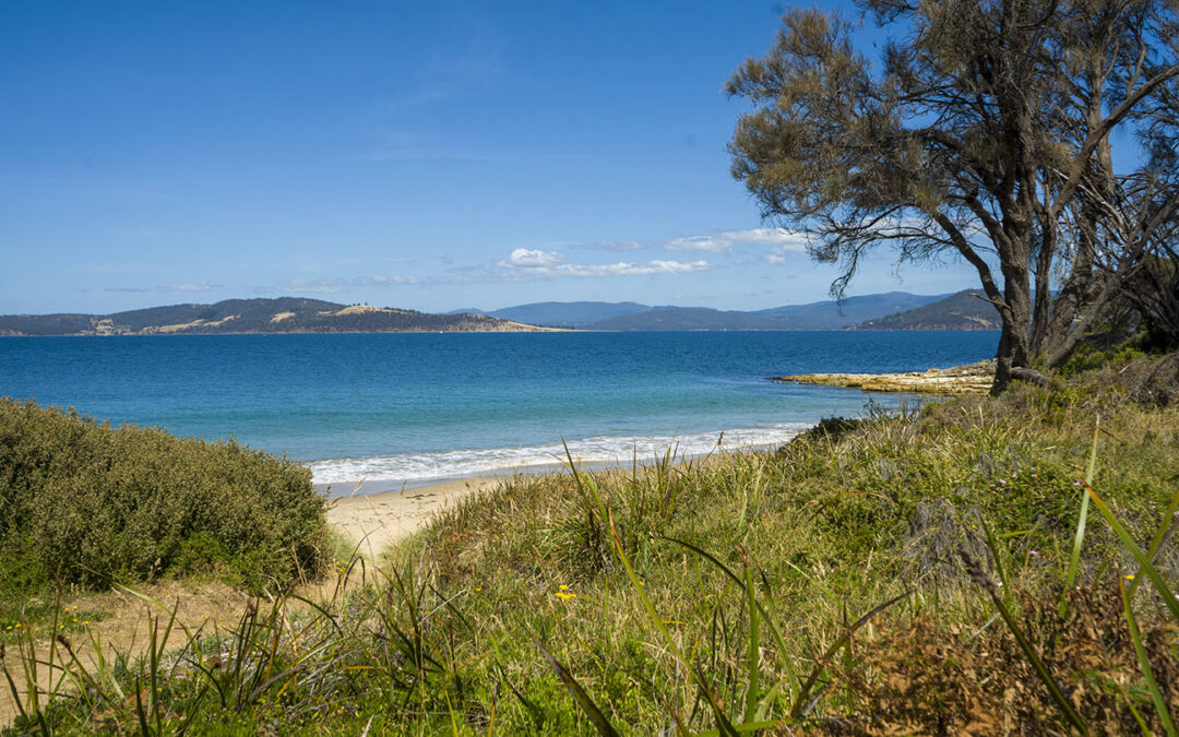
Located near South Arm in Seacroft Bay between Johns Point to the north and Cape Deliverance to the south… accessed via Blessington Road.
Presumably named after Fort Direction which occupies a large part of the peninsula and is not accessible to the public (Army defense position).
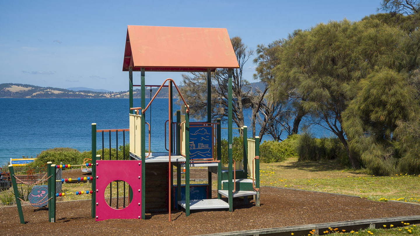
A nice unknown beach with a small playground and rocky outcrops good for fishing, exploring and snorkeling. Usually safe but that can change.
Google map info is incorrect – it shows Fort Beach as Pot Bay. No amenities.