Hazard Rating: 6/10 | Parking: OK | from Hobart: 40 km | Faces: South-ish into Storm Bay | Length: 2.5 km
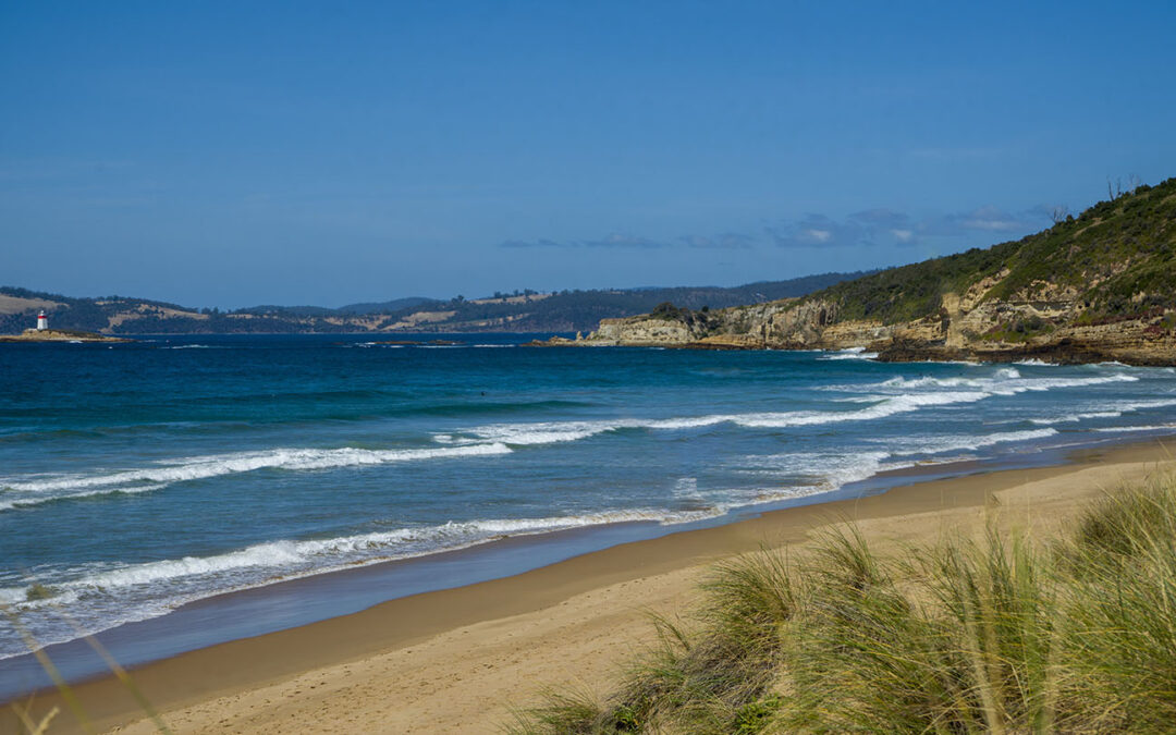
Hope Beach is situated in Southeast Tasmania off South Arm Road, extending from Goats Bluff to Cape Direction, also known as Roaring Beach. It is shown in Google Maps incorrectly positioned on the wrong side of the neck.
The east end below the bluff has a surf break known as Wedge (accessible from Goats Bluff). The west end has a surf beach known as RSL’s.
The main beach is accessible from the middle with 2 access locations each with a 100m walk. The west end is accessed from South Arm via Roaring Beach Road and a 300m walk (add 200m to RSL’s). The beach is named after a ship named, the ‘Hope’ which sank in 1827.
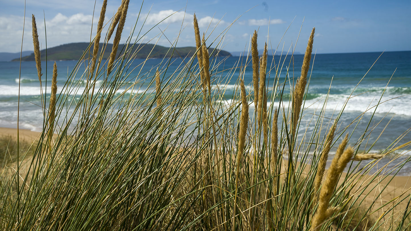
With good Views of Iron Pot Lighthouse, this is a secluded pristine beach with undulating sand dunes and a beach that often has surf.


