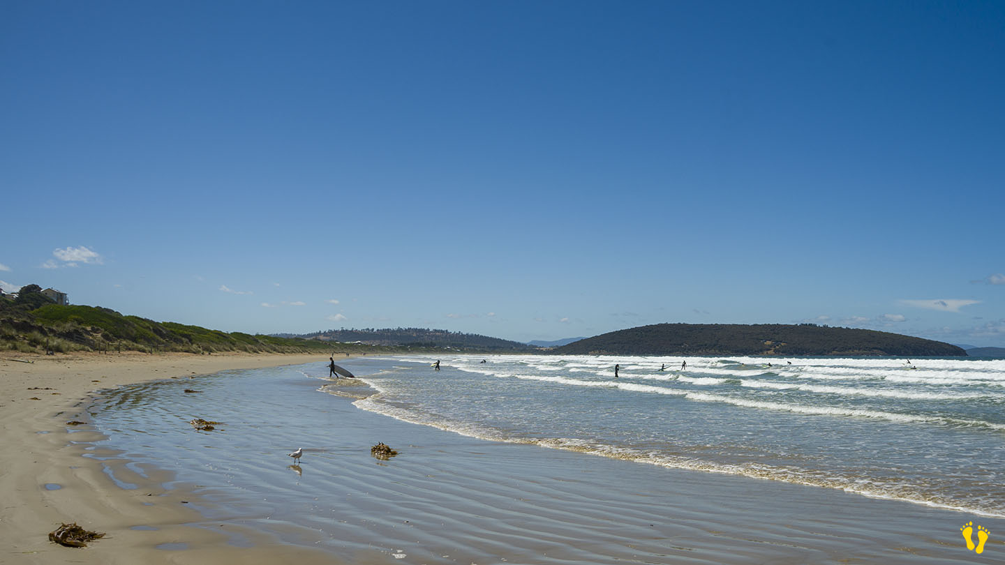
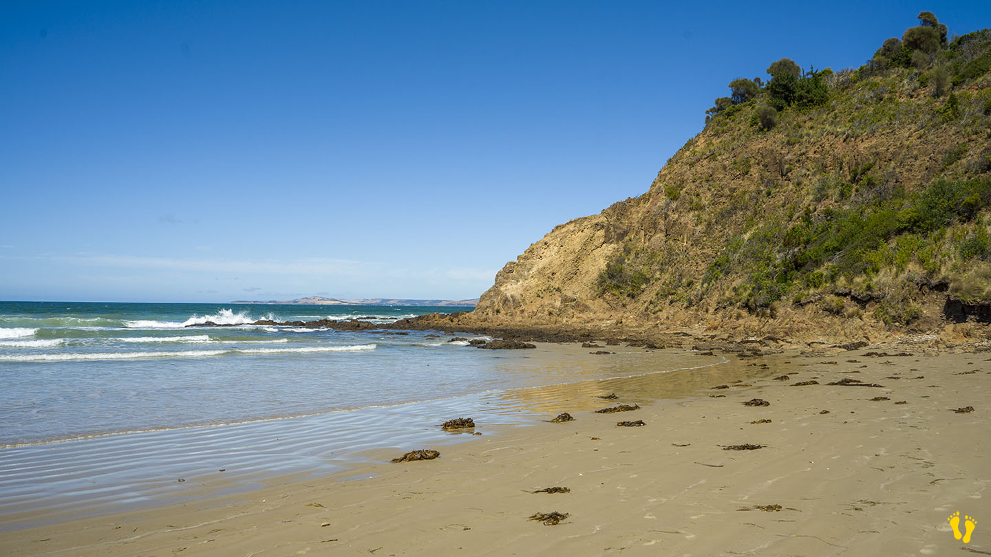
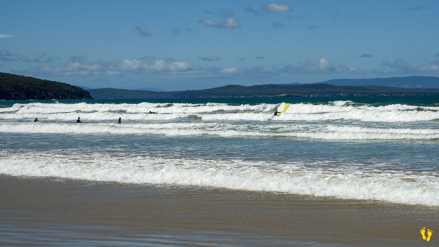
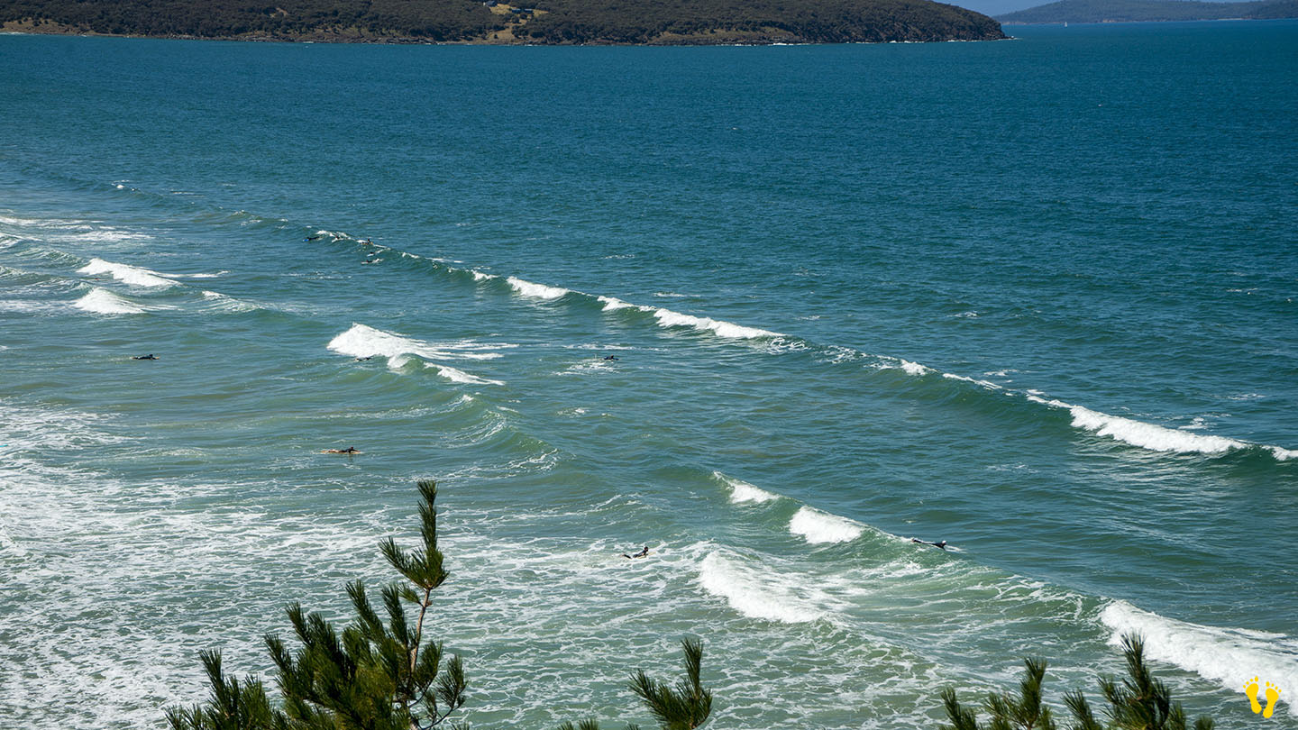
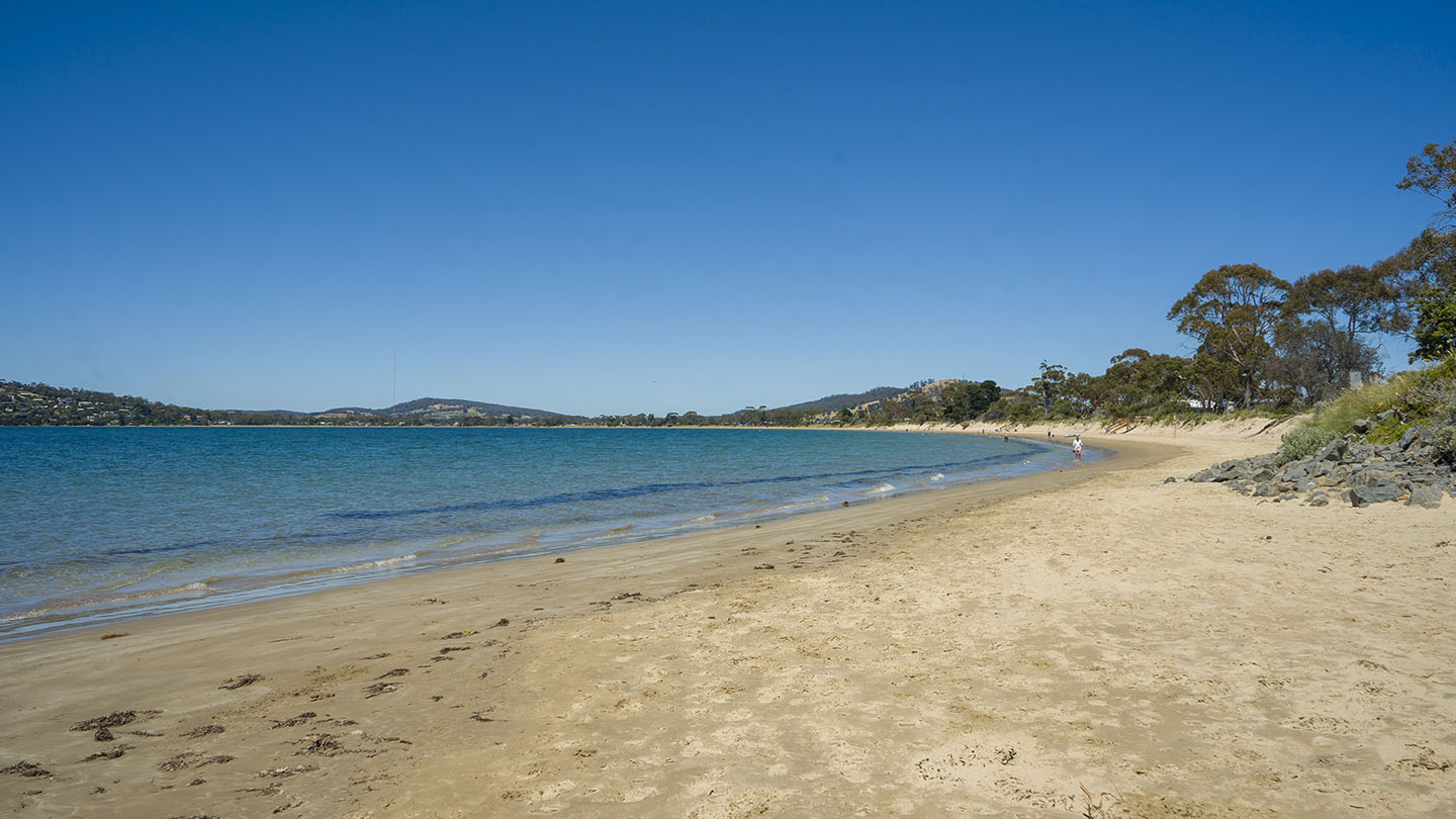
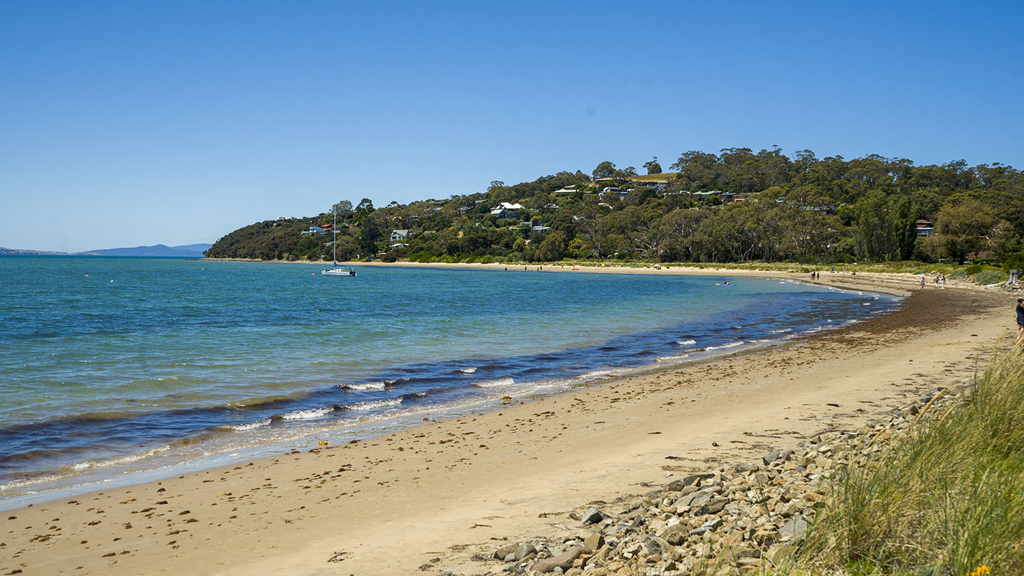
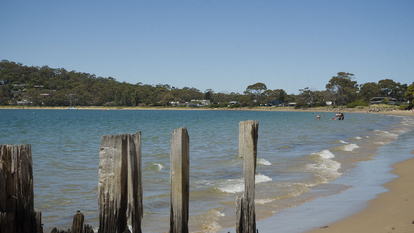
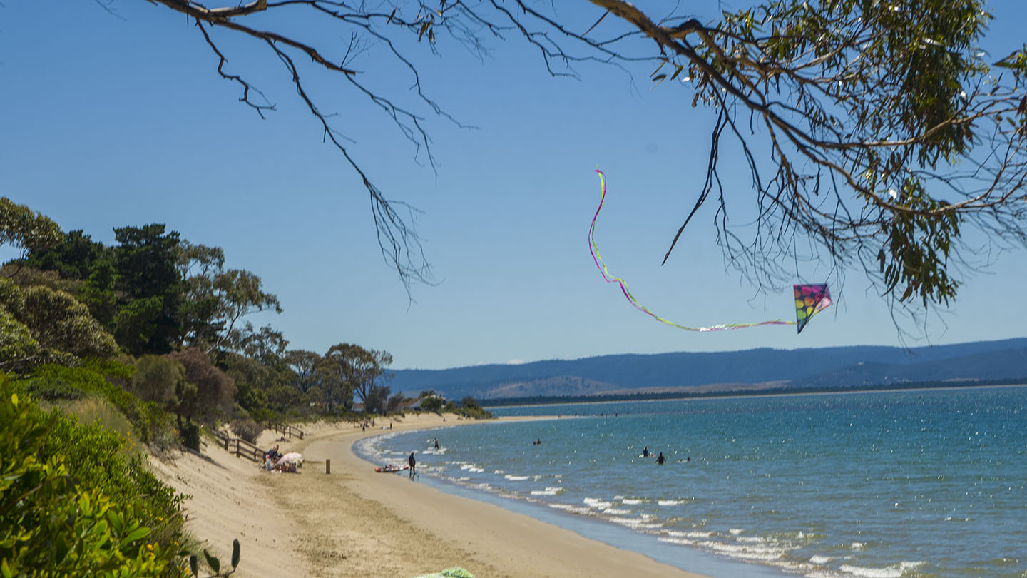
Hazard Rating: 6/10 | Parking: OK | from Hobart: 40 km | Faces: South-ish into Storm Bay | Length: 2.5 km
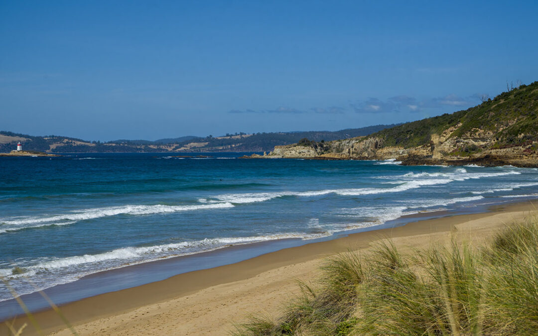
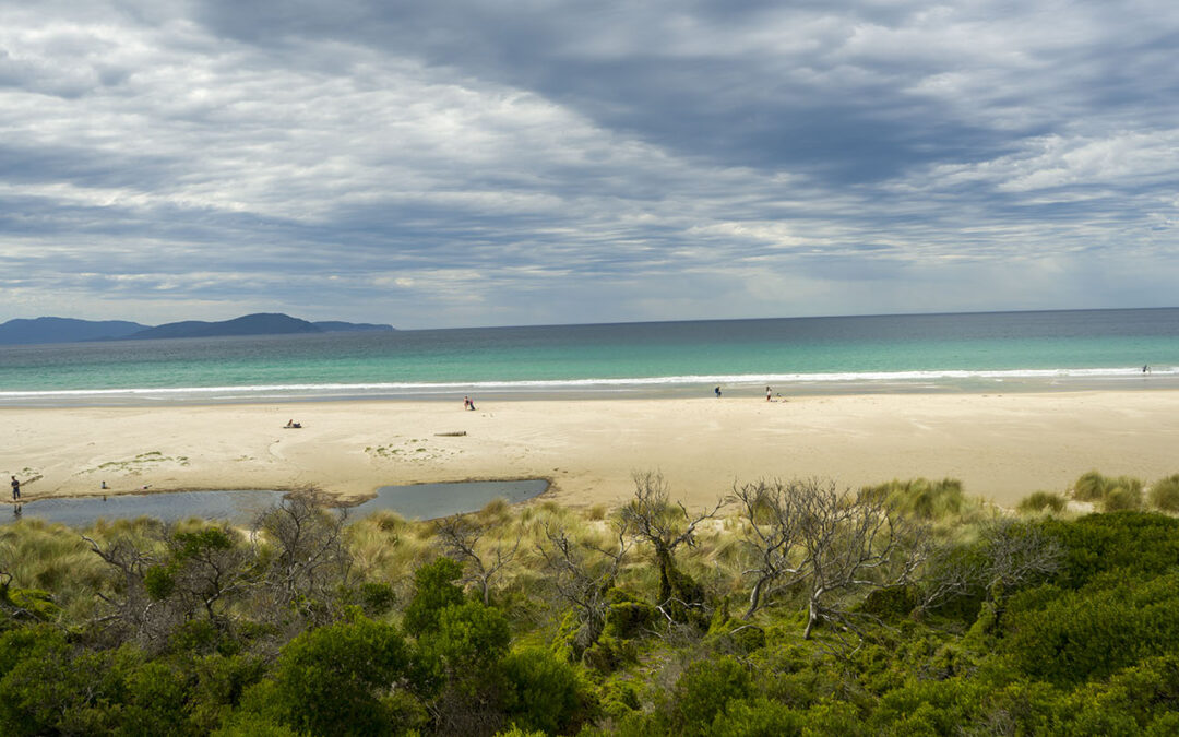
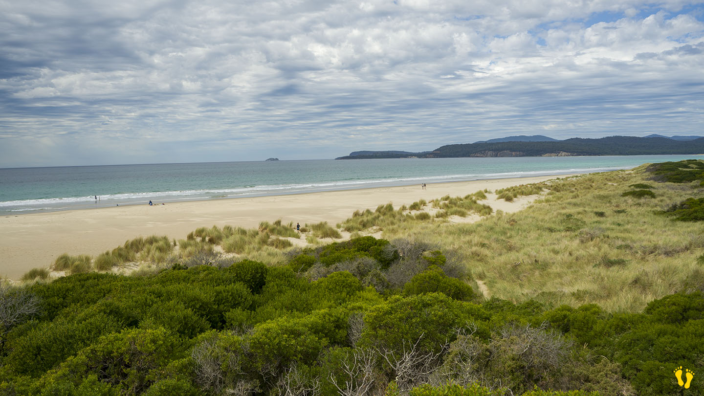
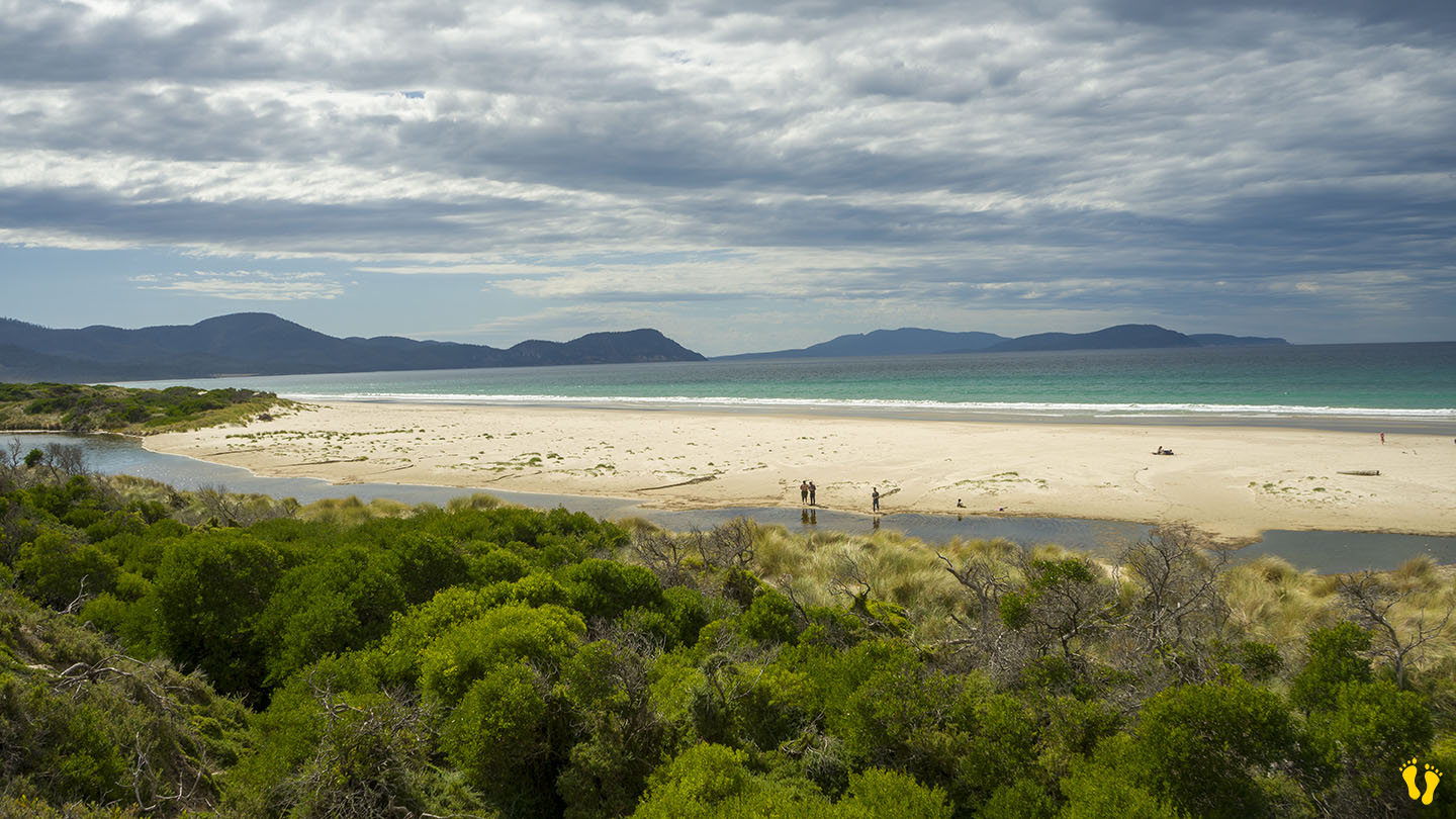
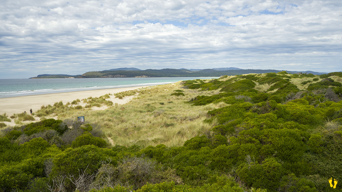
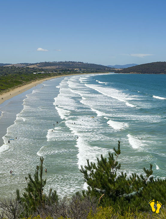
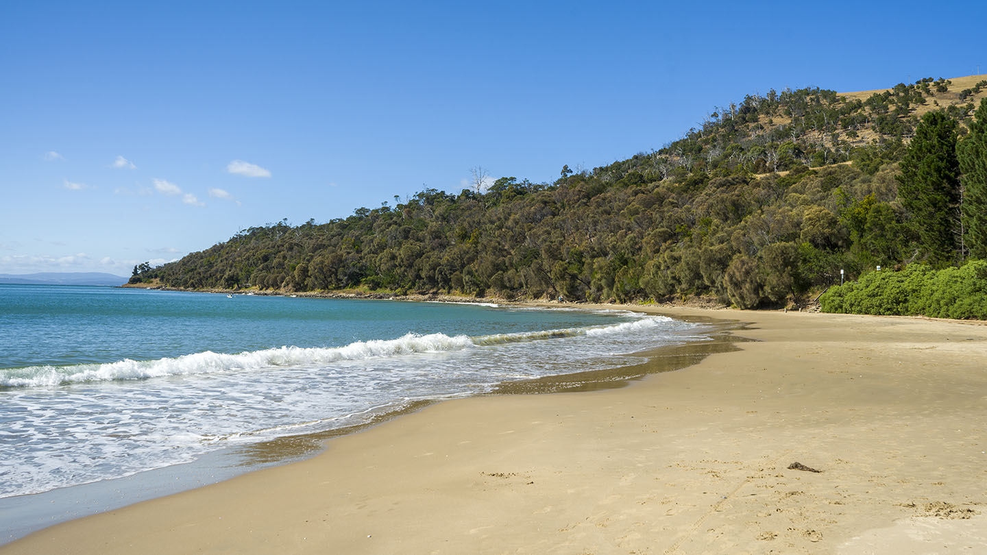
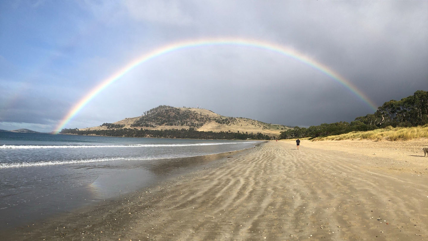
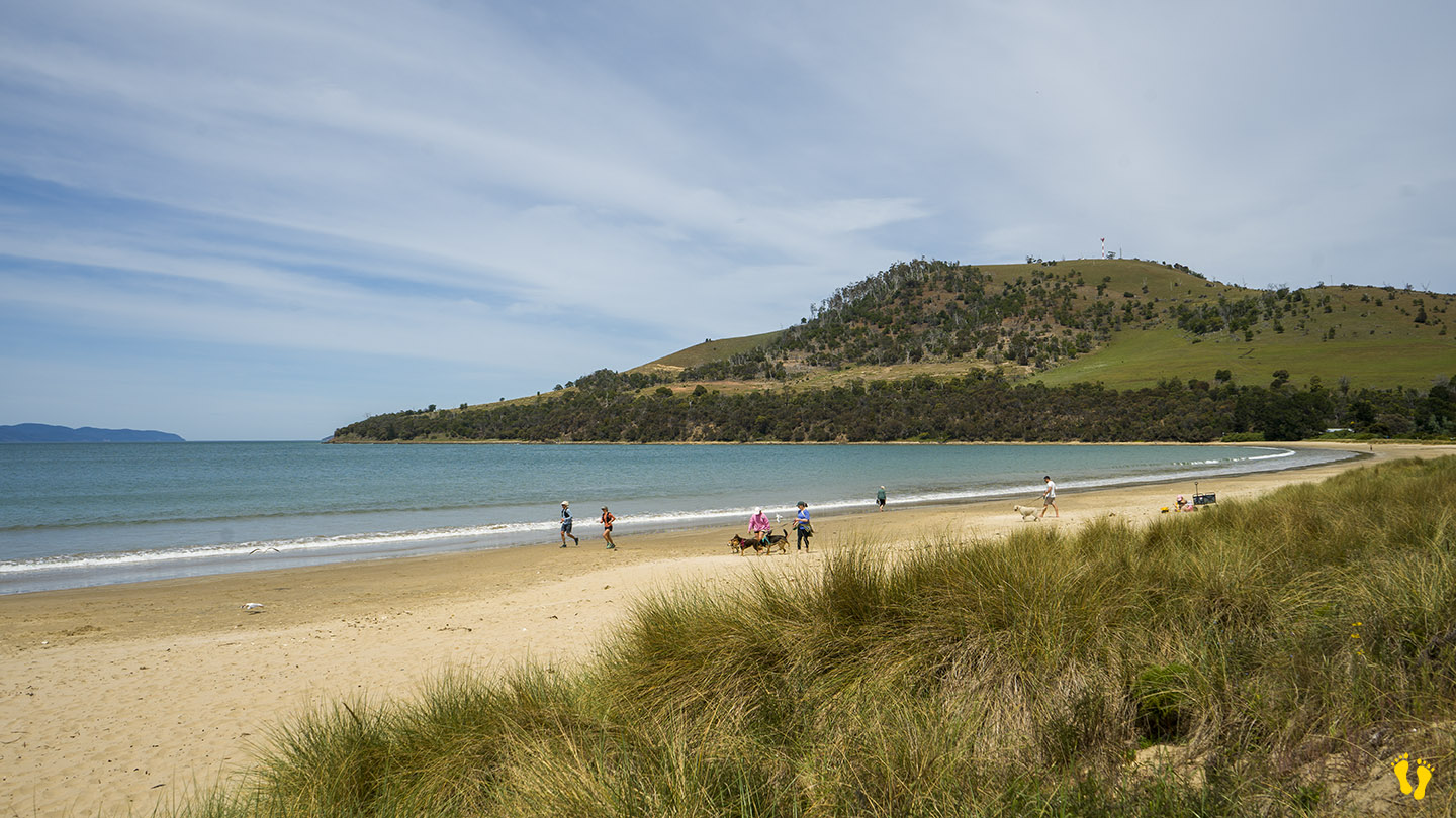
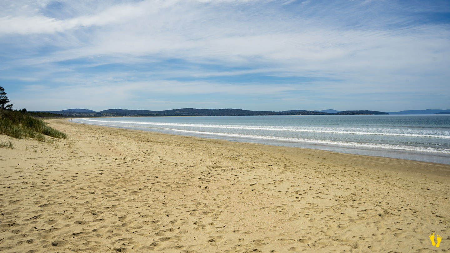
Hope Beach is situated in Southeast Tasmania off South Arm Road, extending from Goats Bluff to Cape Direction, also known as Roaring Beach. It is shown in Google Maps incorrectly positioned on the wrong side of the neck.
The east end below the bluff has a surf break known as Wedge (accessible from Goats Bluff). The west end has a surf beach known as RSL’s.
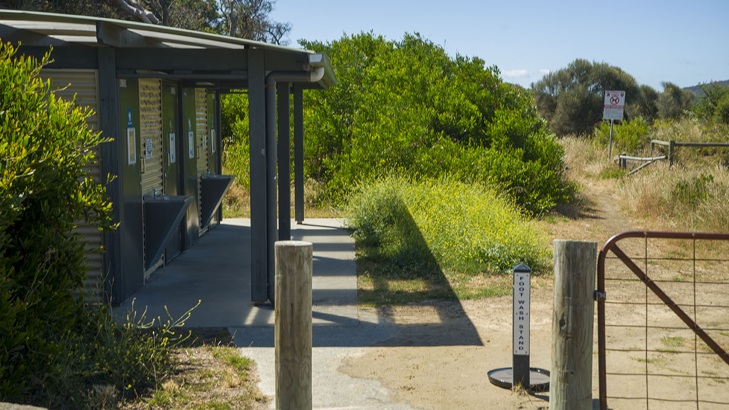
The main beach is accessible from the middle with 2 access locations each with a 100m walk. The west end is accessed from South Arm via Roaring Beach Road and a 300m walk (add 200m to RSL’s). The beach is named after a ship named, the ‘Hope’ which sank in 1827.
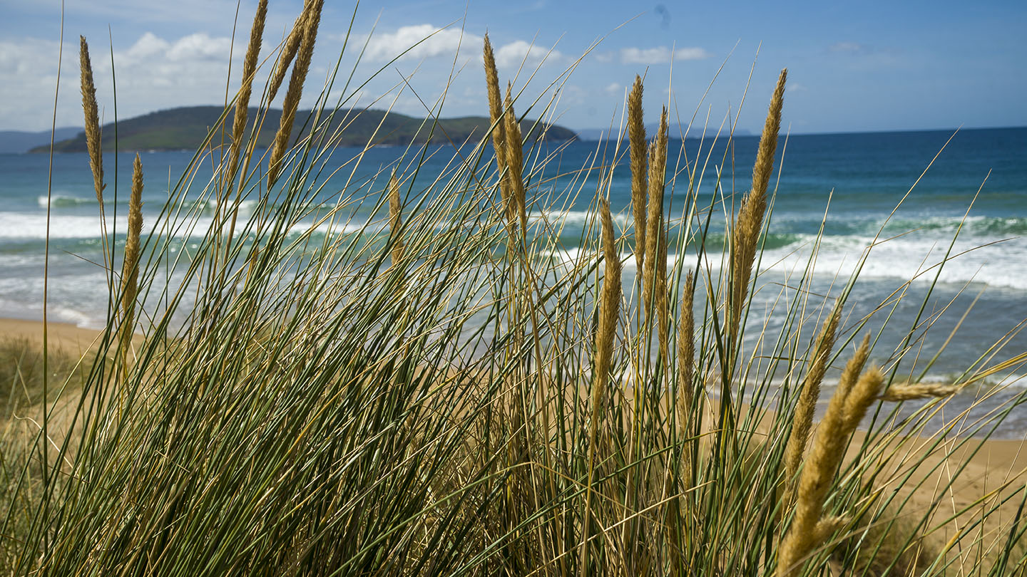
With good Views of Iron Pot Lighthouse, this is a secluded pristine beach with undulating sand dunes and a beach that often has surf.
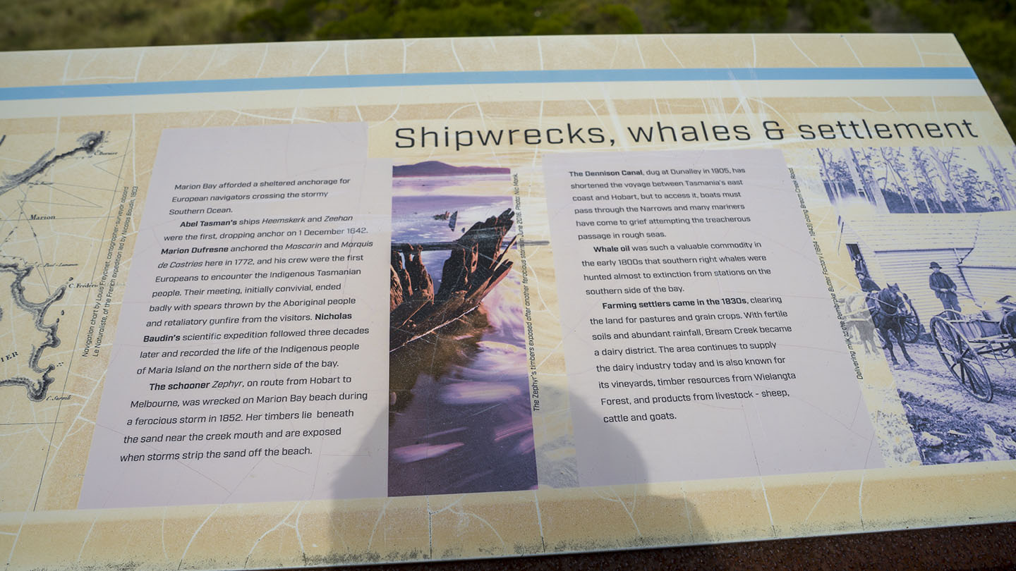
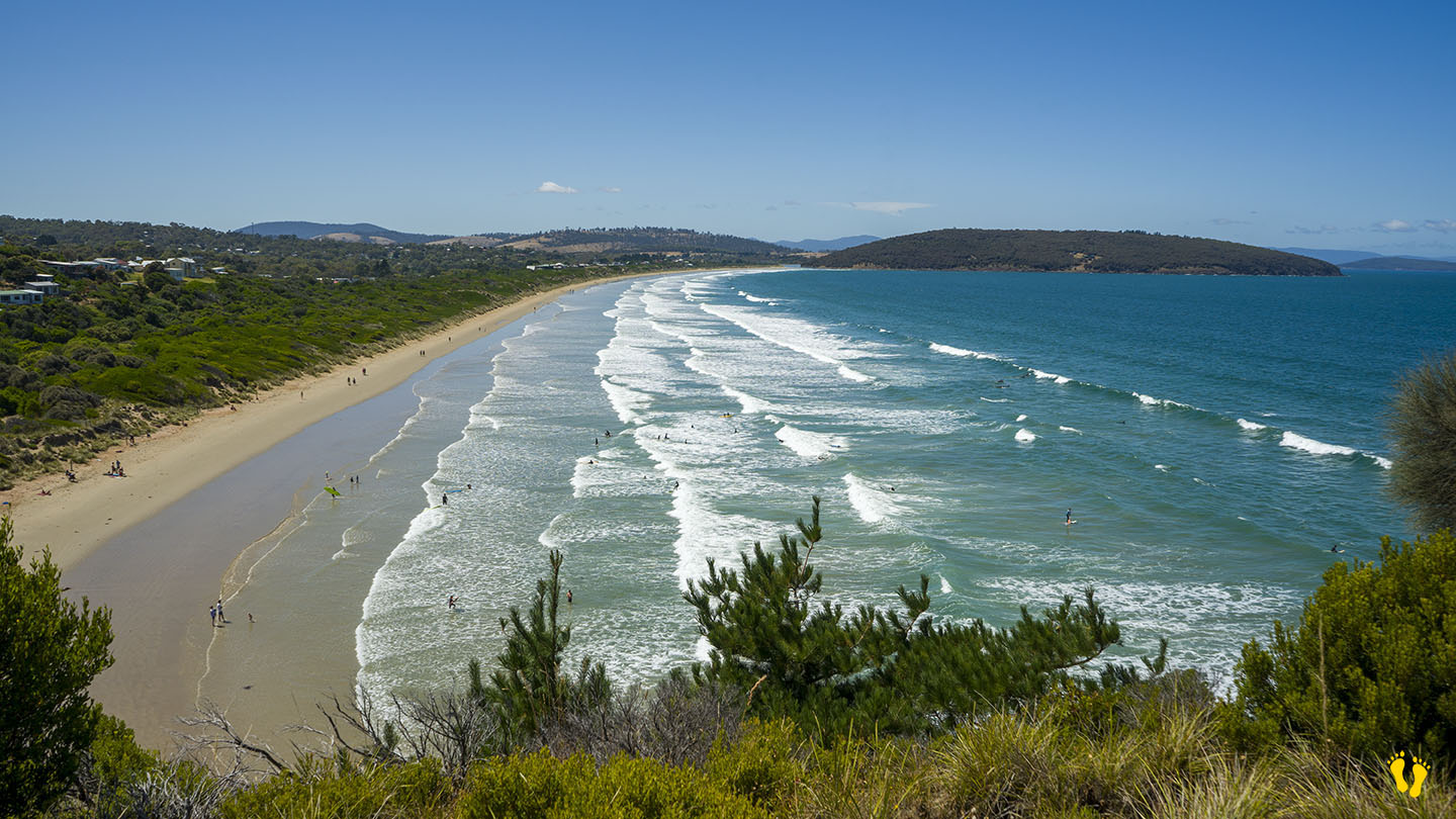
Hazard Rating: 5/10 | Parking: OK |from Hobart: 52 km | Length: 8 km | Faces: East into Marion Bay / Tasman Sea
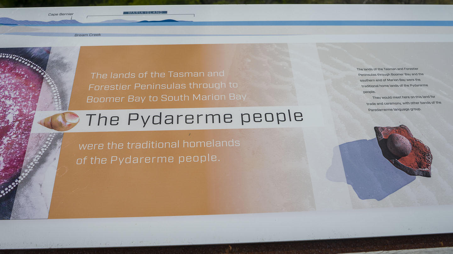
Original People: Pydarerme / Paredarerme
A long secluded beach in a beautiful area on the east coast of Tasmania.
The beach is accessed via Marion Bay Road. Access to the beach is a 100 – 200 m walk from the car park. Basic amenities include toilets.
The north end has 5 more beaches – Woody, Eagles, Shelly,Pine Creek and Bluff beaches – all have limited access mainly from tracks.
Bream Creek is parallel to the beach, which sometimes joins up with the sea. Fishing is good from the beach or creek behind.
Named after a French explorer Marion du Fresne, a ship captain who explored in 1772. Views of Maria Island to the northeast and a small island called Visscher Island to the southeast.
The beach sometimes has minor surf but a well-known surf break on the southern end called ‘Boneyard’ is considered one of Australia’s best right-handers when working.
Hazard Rating: 10+/10 | Parking: None | from Hobart: A long way | Faces: South into Antarctica
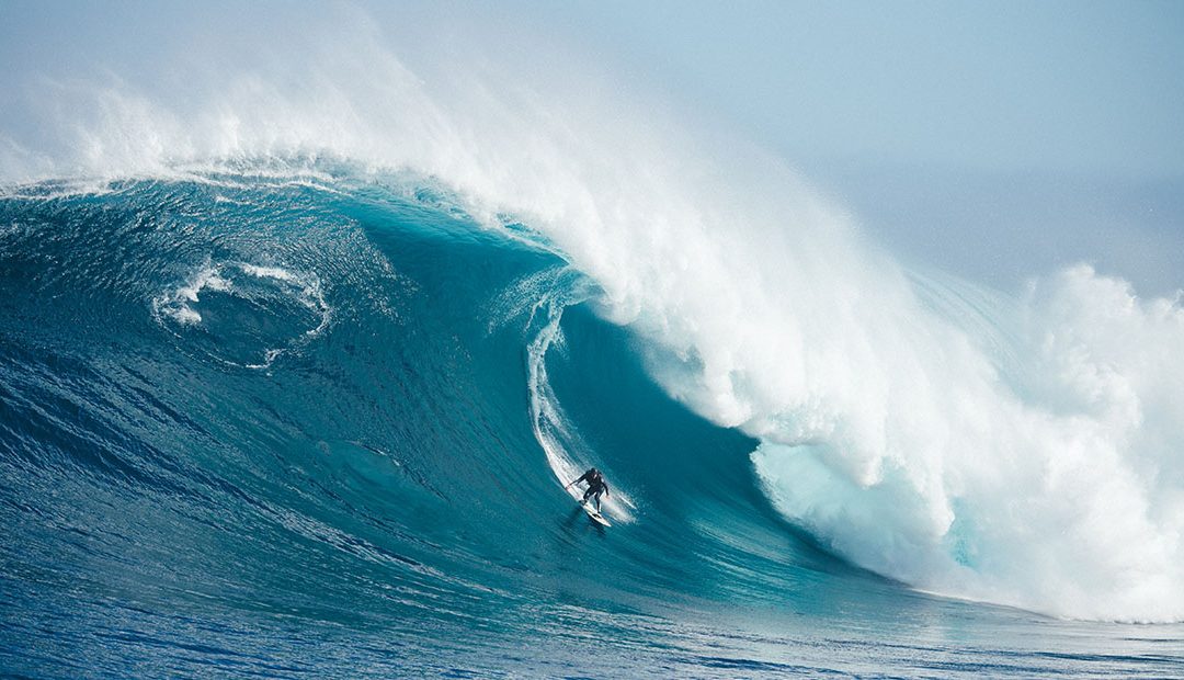
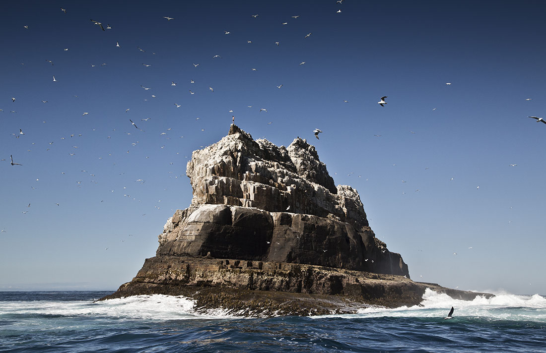
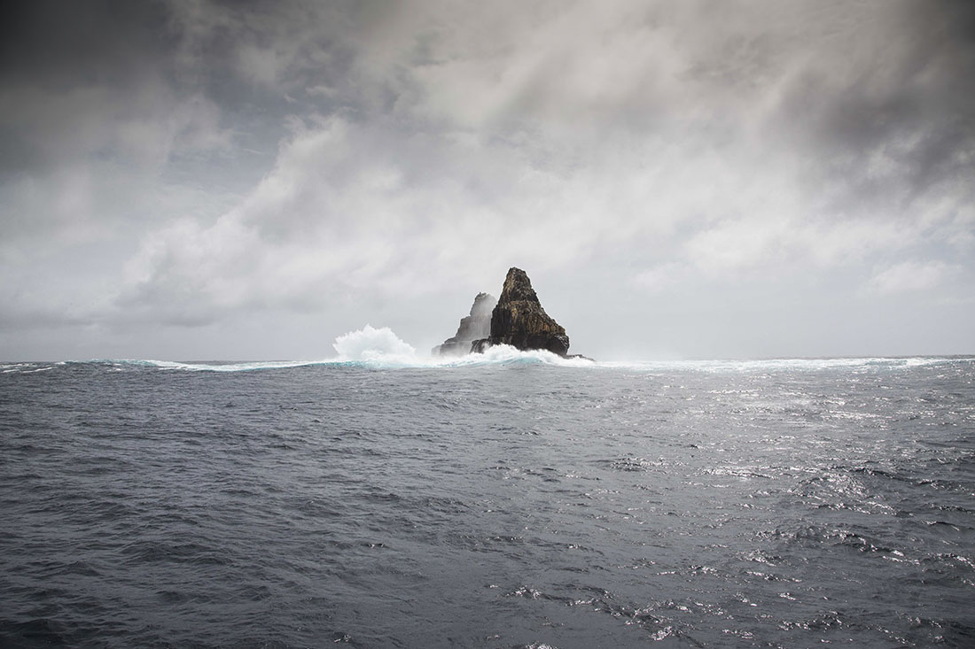
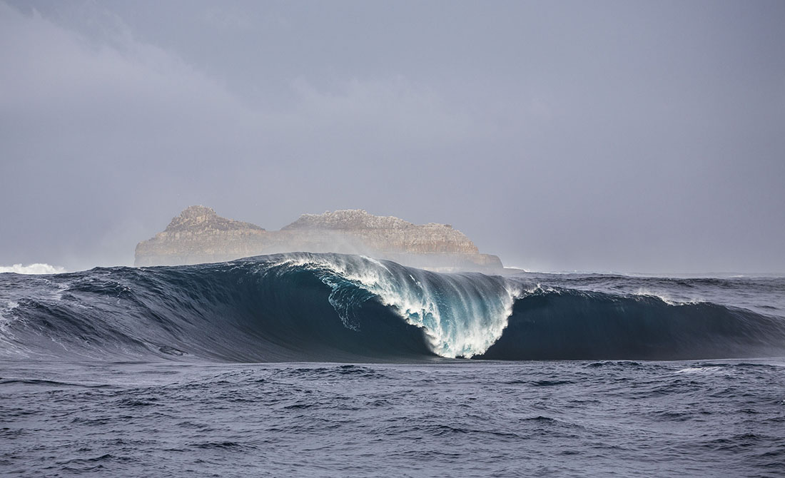
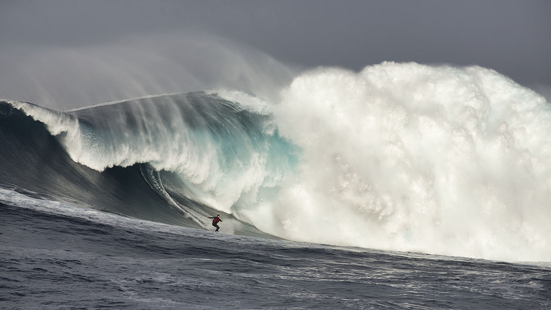
Pedra Branca is an islet (rock or little island) situated 26km south of Tasmania with some of the most insane waves in the world. An erosional remnant of the Tasmanian mainland, approximately 270m long, 100m wide and an elevation of 60m, estimated to have separated from the Tasmanian mainland at least 15,000 years ago. Another nearby islet is Eddyston also a tower rock also with thunderous waves.
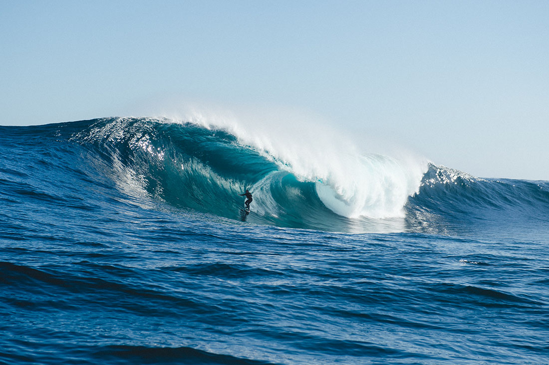
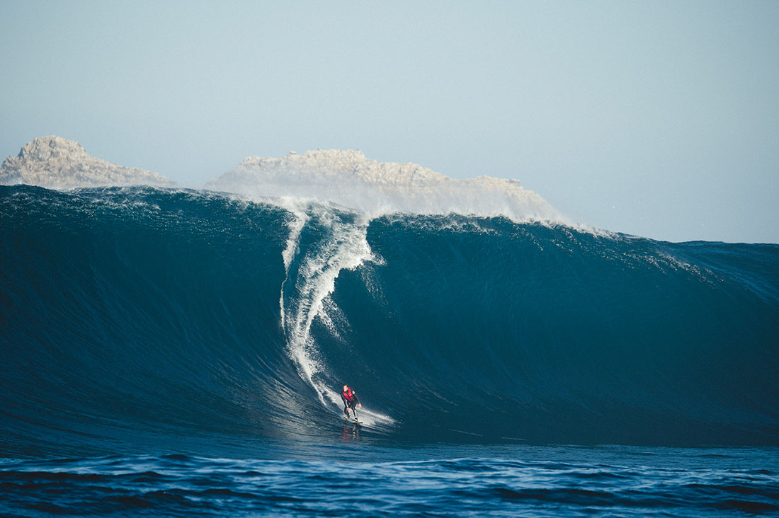
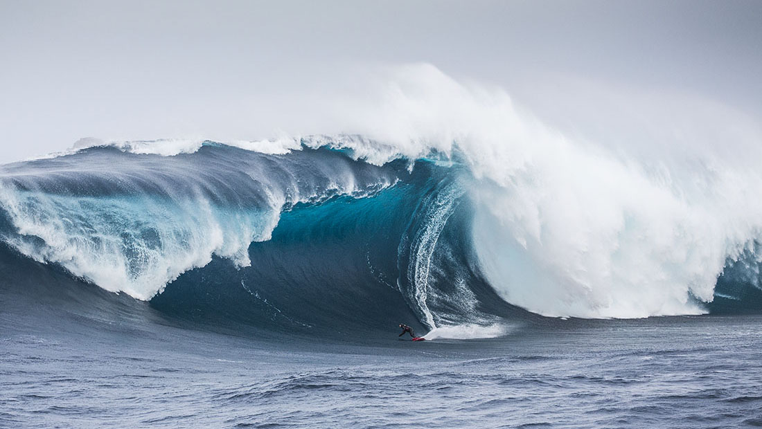
Pedra requires specific conditions to work. A long trip to get there and when you do the water is cold, great white sharks are common and the waves are bone breaking. Jet ski support is mandatory.
Pedra Branca was first recorded in 1642 by the Dutch explorer Abel Tasman and first surfed in October 2008 by Marti Paradisis. Pedra Branca is Portugese for White Rock, probably because it’s covered in bird poo.
Surf photos provided by Stu Gibson, a leading Tasmanian surf photographer.
Hazard Rating: 3/10 | Parking: Good + close | from Hobart: 23 km | Faces: East into Frederick Henry Bay | Length: 6 km
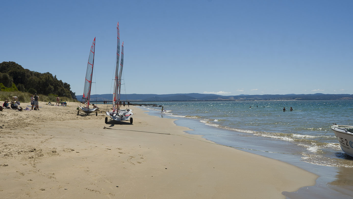
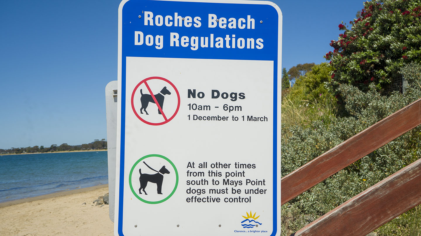
Also known as Lauderdale Beach – It starts north at Roches Beach, south through Lauderdale, and ends at Lauderdale Point which often has a good surf break.
Regular access points along the full length of the beach with several parks and amenities. The top (north) end has the best beach areas. The beach is popular with families.
Named after Henry Roche (1868). A boat ramp with amenities is near the canal at the south-ish end.
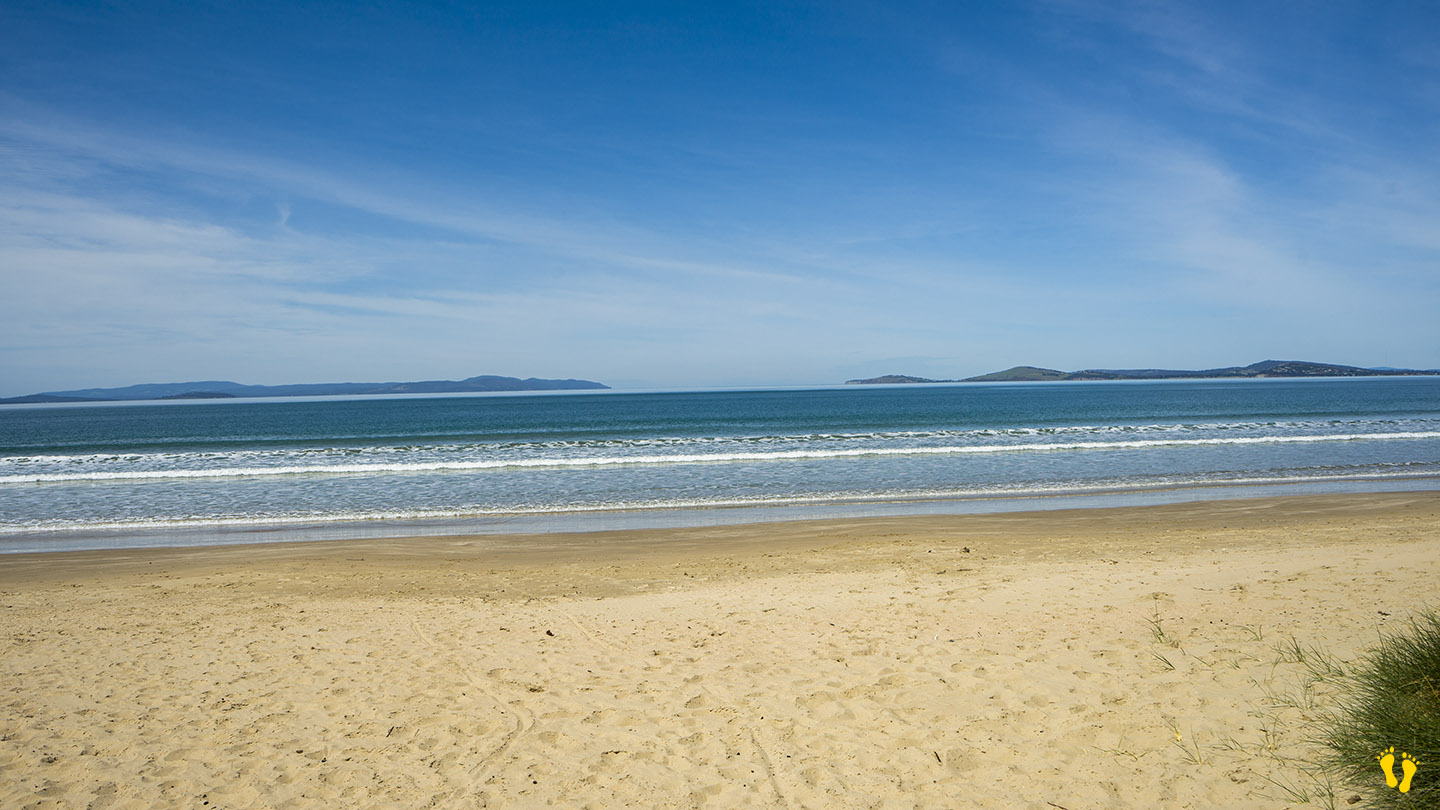
Hazard Rating: 3-4/10 | Parking: Good and close | from Hobart: 21 km | Faces: South East into Tiger Head Bay | Length: 10 km
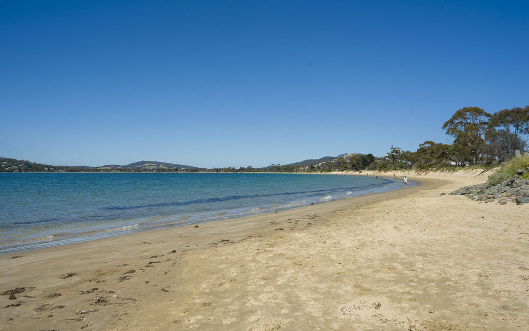
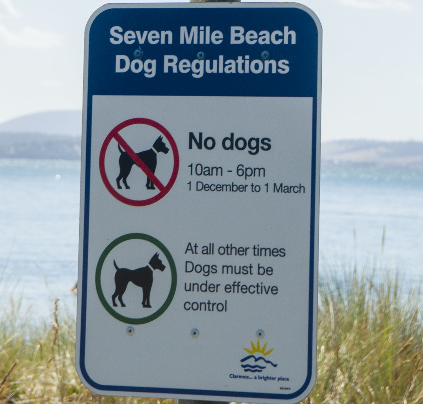
Who would have thought? – the beach is Just under 7 miles long! (about 10 km). A beautiful sweeping beach worth a walk along its length, mind you that would be a 20 km walk if you want to get back to where you started!
The beach is split into west and east which are accessed differently.
EAST END
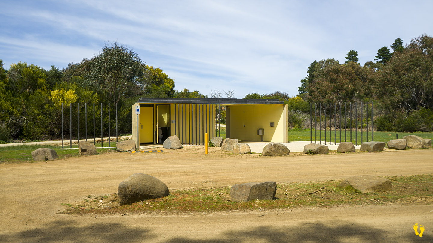
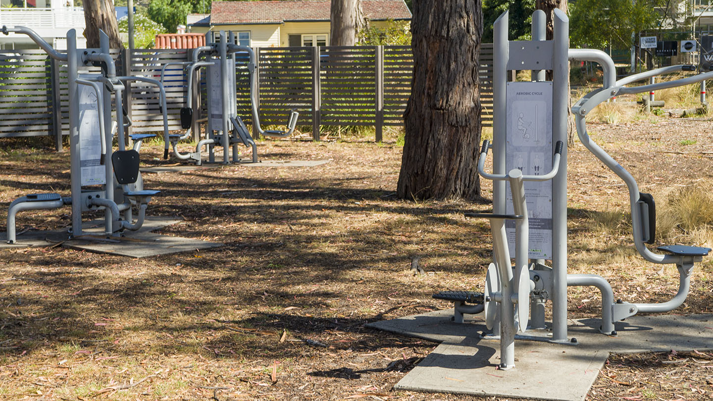
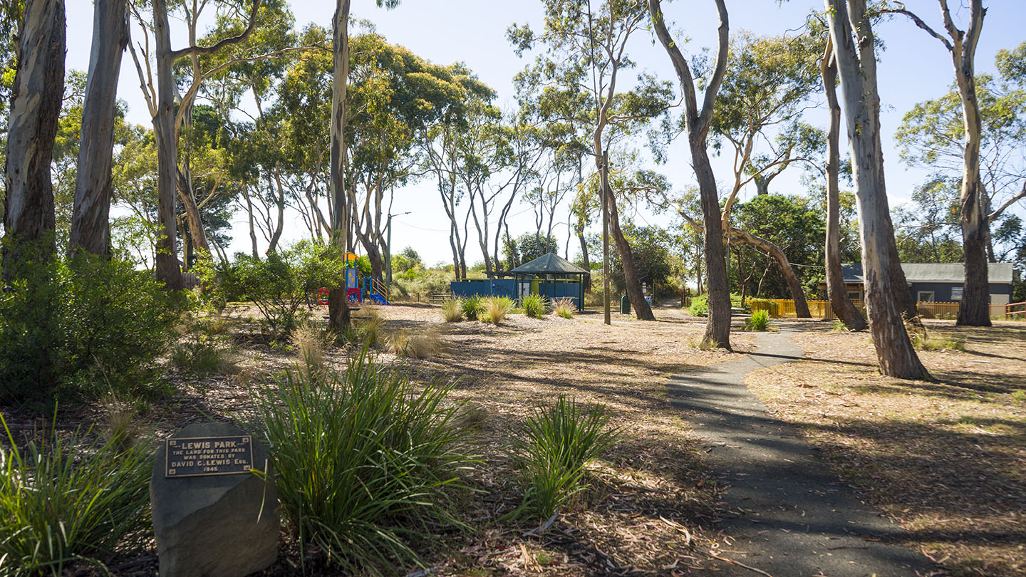
The most commonly used end with access to the beach from several points. This includes Lewis Park which has a playground for kids, toilets and BBQ areas. There is also a nearby shop.
Access via Acton Road – Estate Drive – Seven Mile Beach Road or via the Airport Road (Holmans Drive – Grueber Avenue).
WEST END
Access via Pittwater Road (just past the Airport Road and Barilla Bay Oysters) – turn right.
______________________________
A great beach not far from Hobart with many options which is ideal for kids and families.
If you are thinking of trying to access the far east end of the beach via Surf Road, Central Road or 5 Mile Beach Road, don’t bother – at this point in time they are all blocked. The only way to get to the far east end of the beach is to walk (or ride a horse) – maybe a good thing!