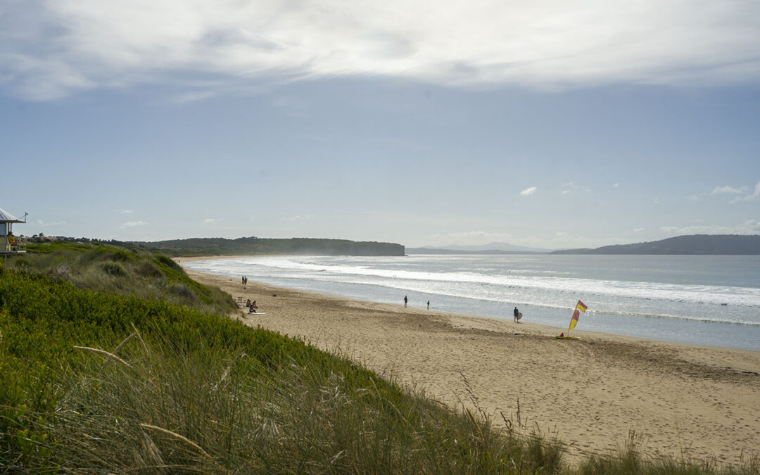
by Mickey Jarvis | Feb 5, 2023 | Dodges / Carlton, Patrolled, South East, Surf
South of Sorell |
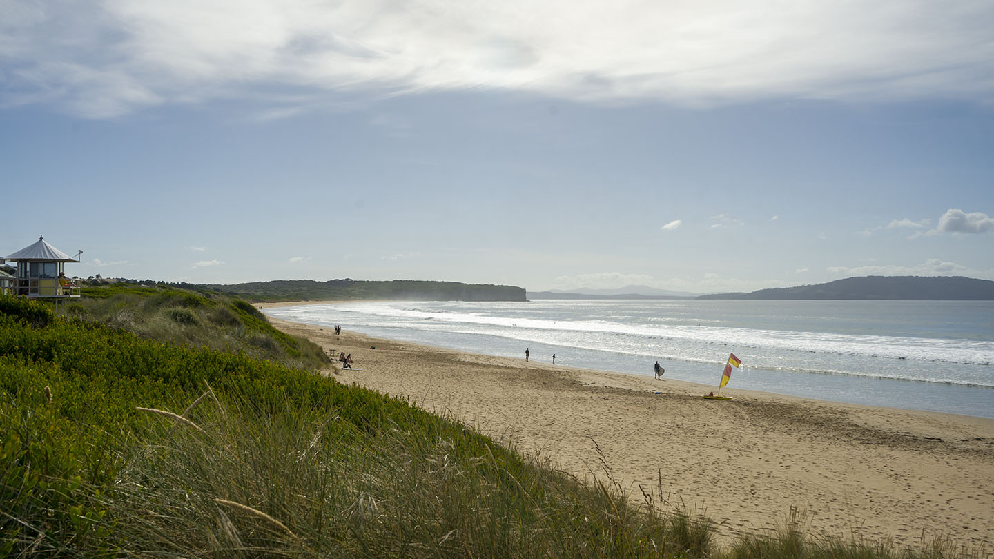
Hazard Rating: 5/10 | Parking: Good + close | from Hobart: 40 km | Faces: South-ish into Tiger Head Bay | Length: 2.8 km
The east end is Carlton Beach (the west end is referred to as Park Beach). Close parking but may become limited on good days (sun or surf). Can be accessed along it’s length by means of walkways from Carlton Beach Road (100-200m).
The east has has amenities and is patrolled. A good beach to learn surfing and boarding when patrolled.
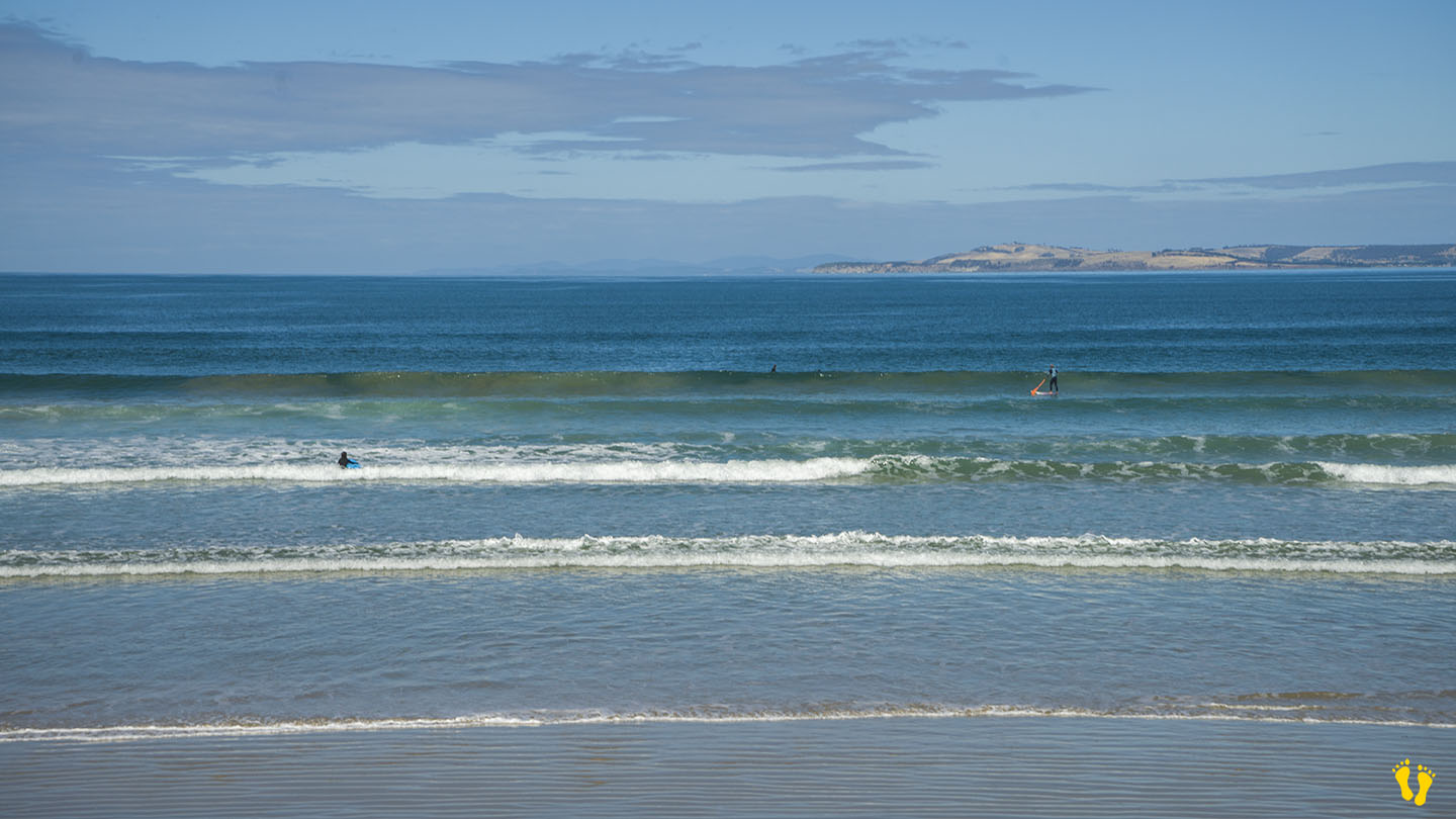
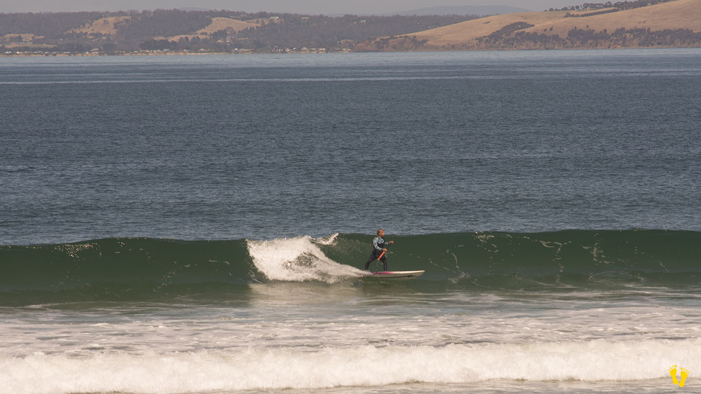
At the far east end of the beach is the Carlton Rivermouth which is known for its surf break but not recommended for swimming due to strong currents.
Named by a whaler in 1806 the word Carlton means ‘free peasant settlement’.
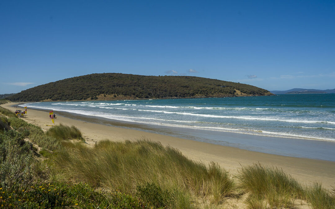
by Mickey Jarvis | Jan 27, 2023 | Patrolled, South Arm Road, Surf
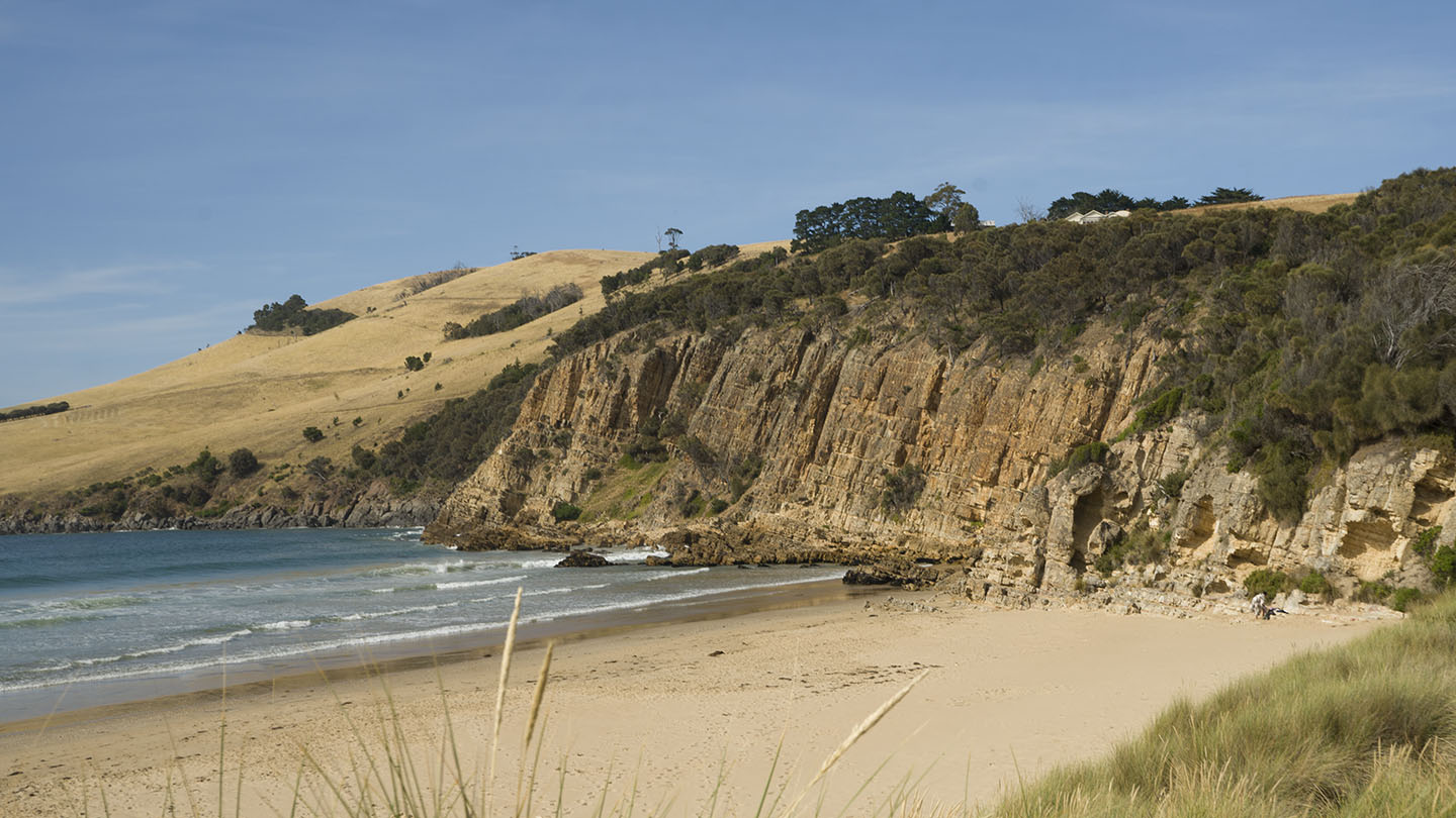
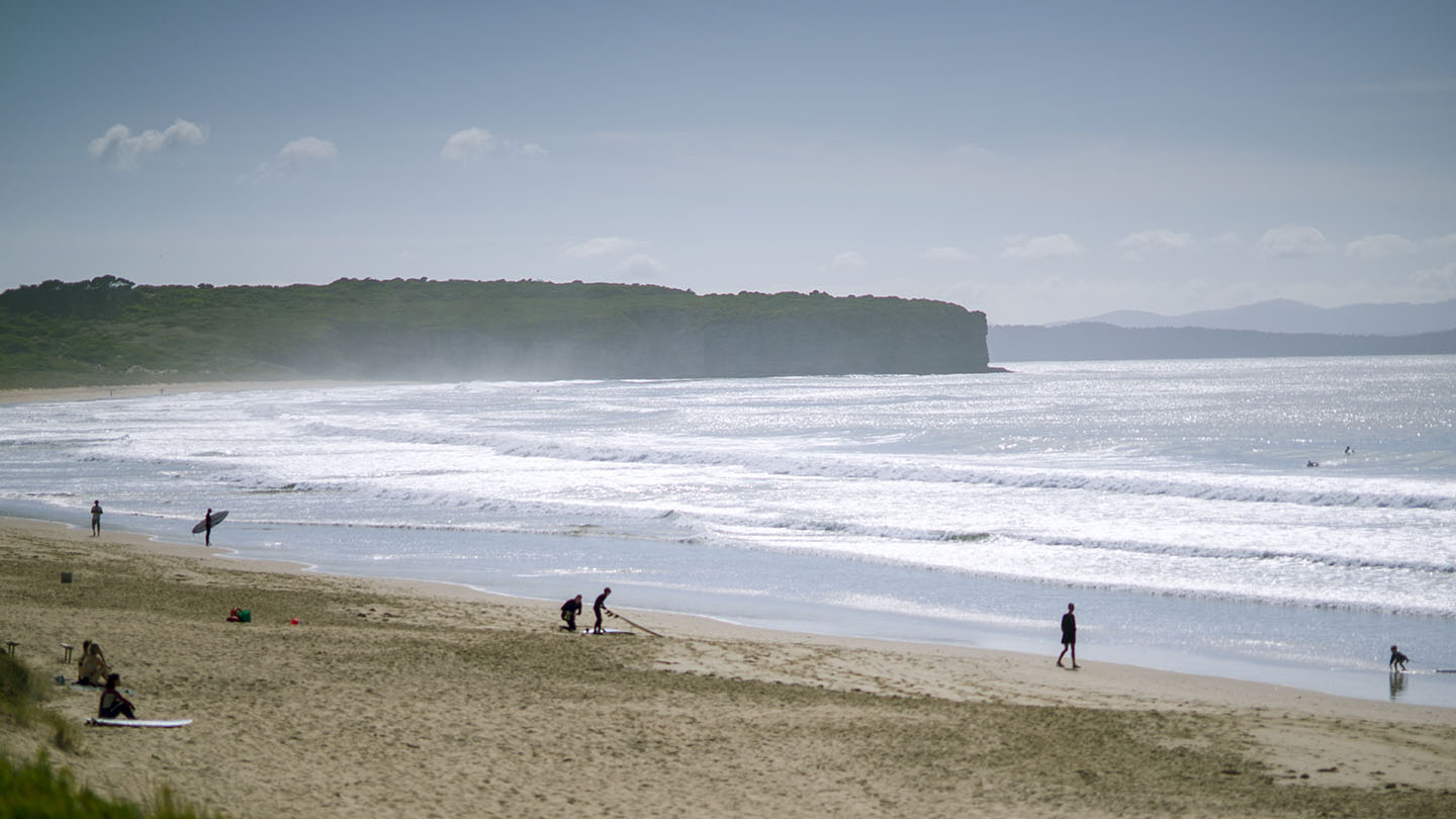
South Arm Road |
Hazard Rating: 6/10 | Parking: Good + close | from Hobart: 30 km | Faces: South into Storm Bay | Length: 2.1 km
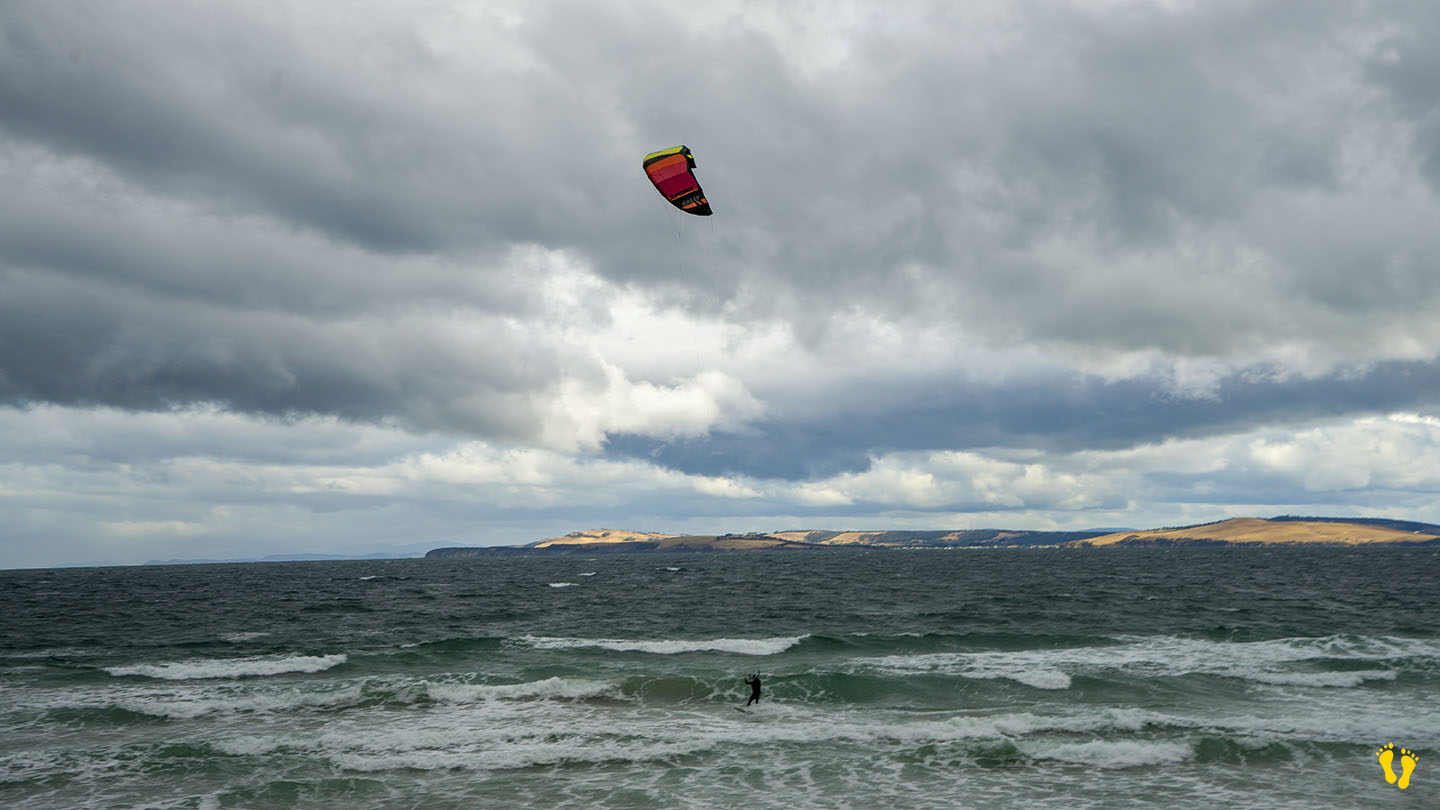
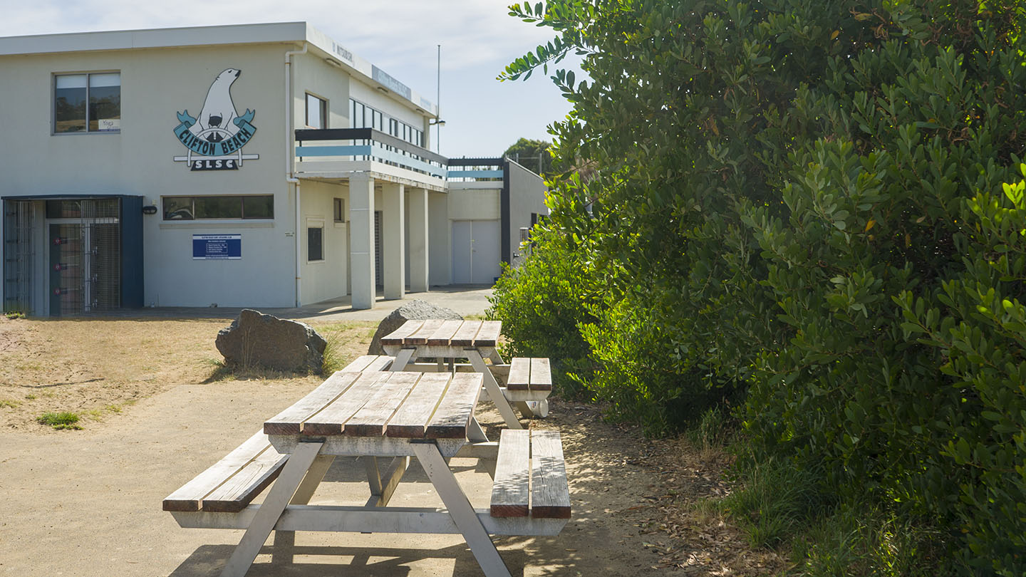
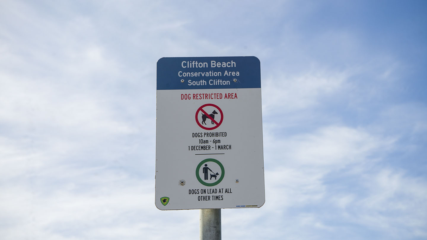
Located off South Arm Road, Clifton Beach is a popular surf beach. The west end is generally referred to as South Clifton and the east end as North Clifton?
South has close parking but may become busy on good days. Good amenities and is often patrolled.
North is accessed via Cape Deslacs Track and a 300m walk and has no amenities. Often has better surf than the south end.
South is a good beach to learn surfing and boarding as it has consistent surf and is often patrolled.
by Mickey Jarvis | Jan 21, 2023 | Greater Hobart, Low Hazard, Patrolled, Wheelchair Friendly
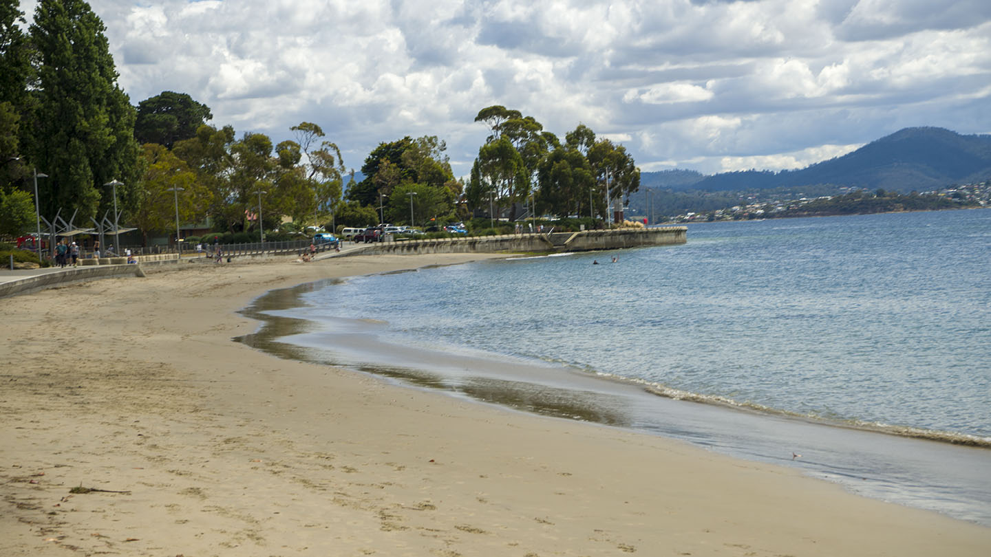
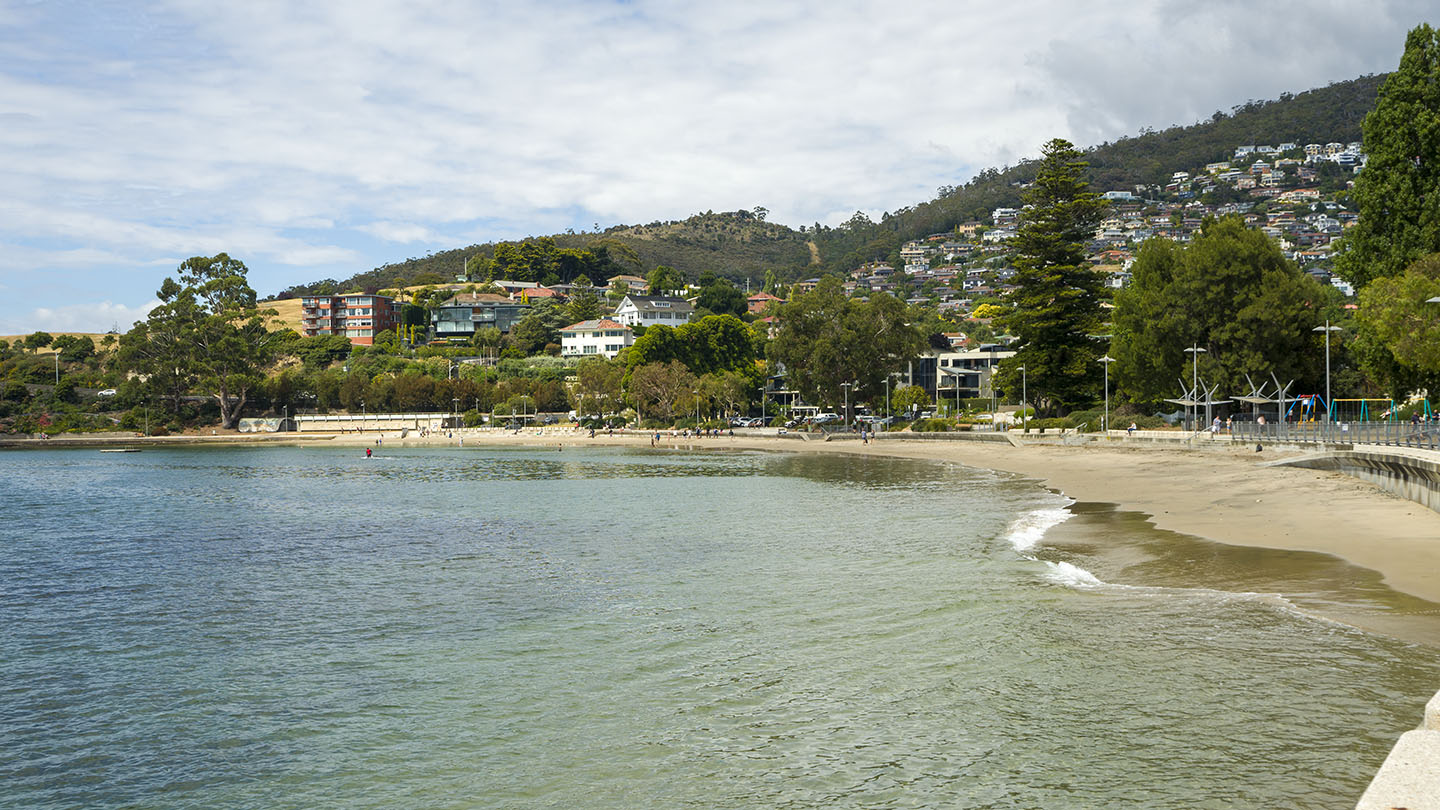
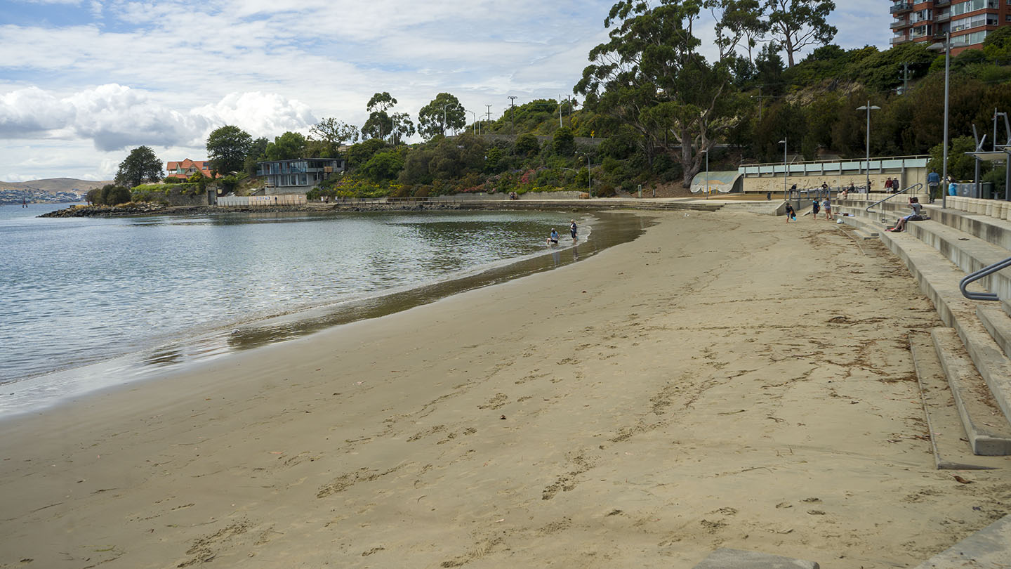
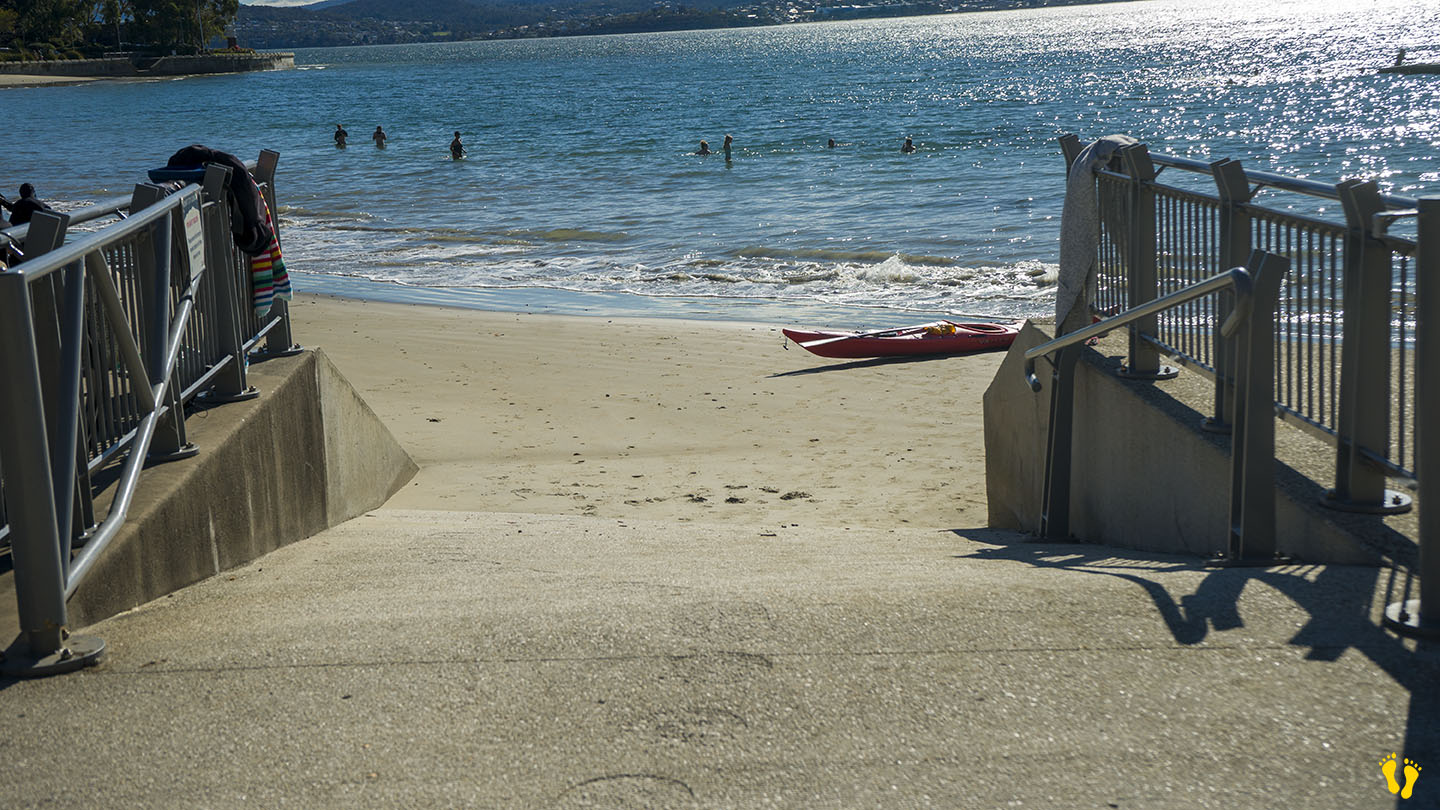
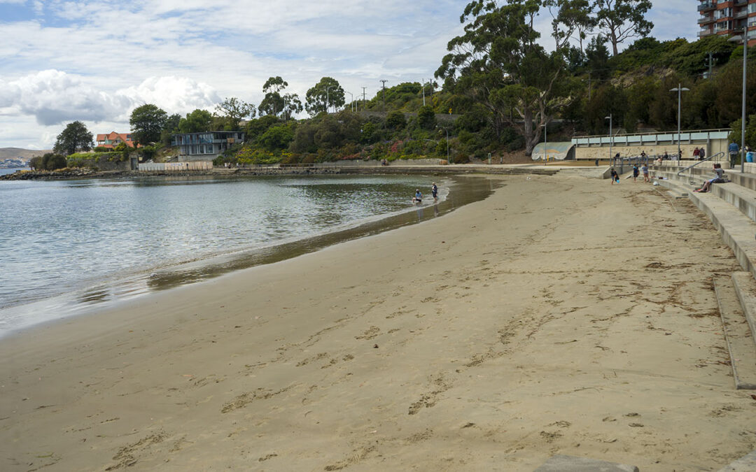
Little Sandy Bay |
Hazard Rating: 2/10 | Parking: Good + close | from Hobart: 5 km | Faces: West into the Derwent River and Little Sandy Bay | Length: 400 m
Original People: Originally named Kreewer and occupied for 35,000 years by the semi-nomadic Mouheneener people, a sub-group of the Nuennone.
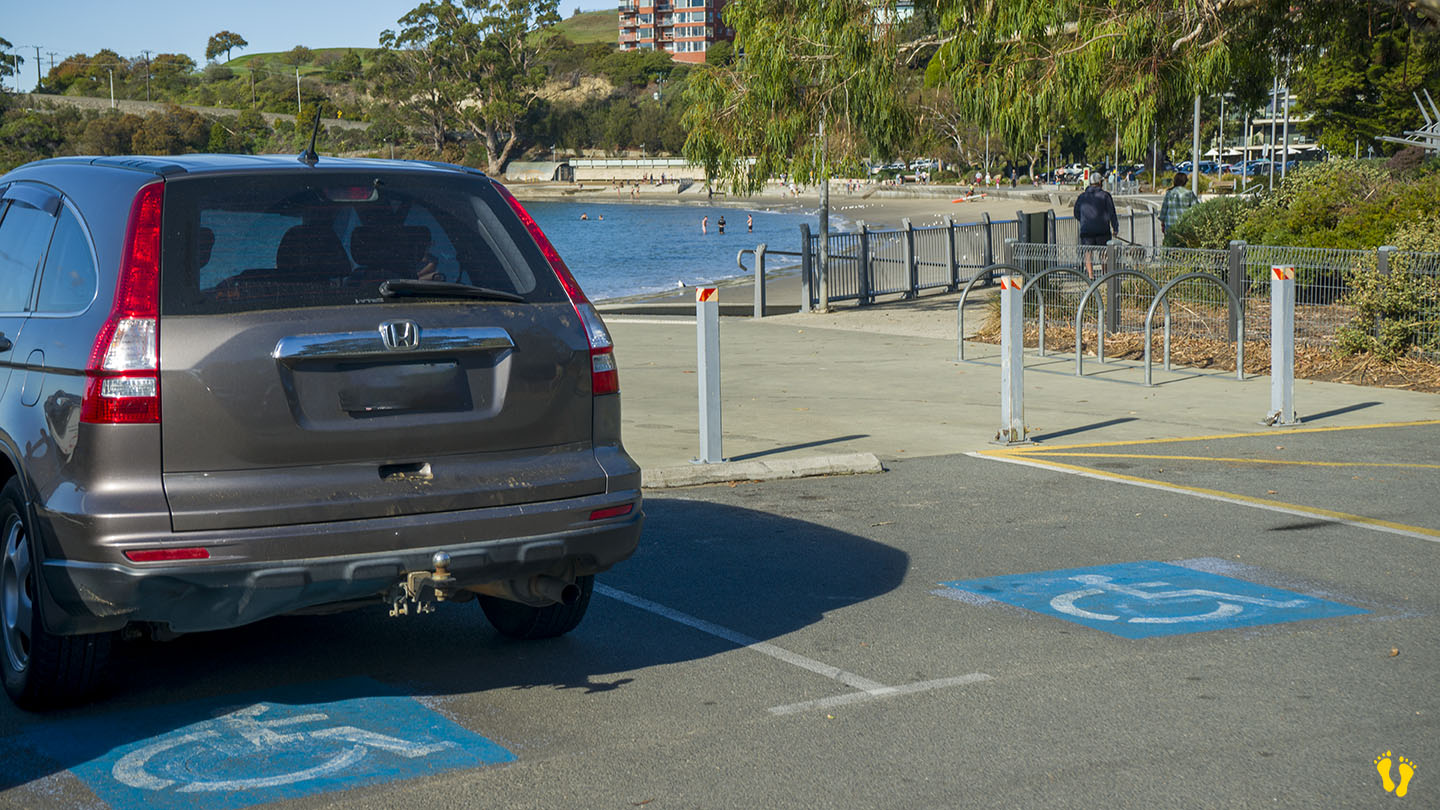
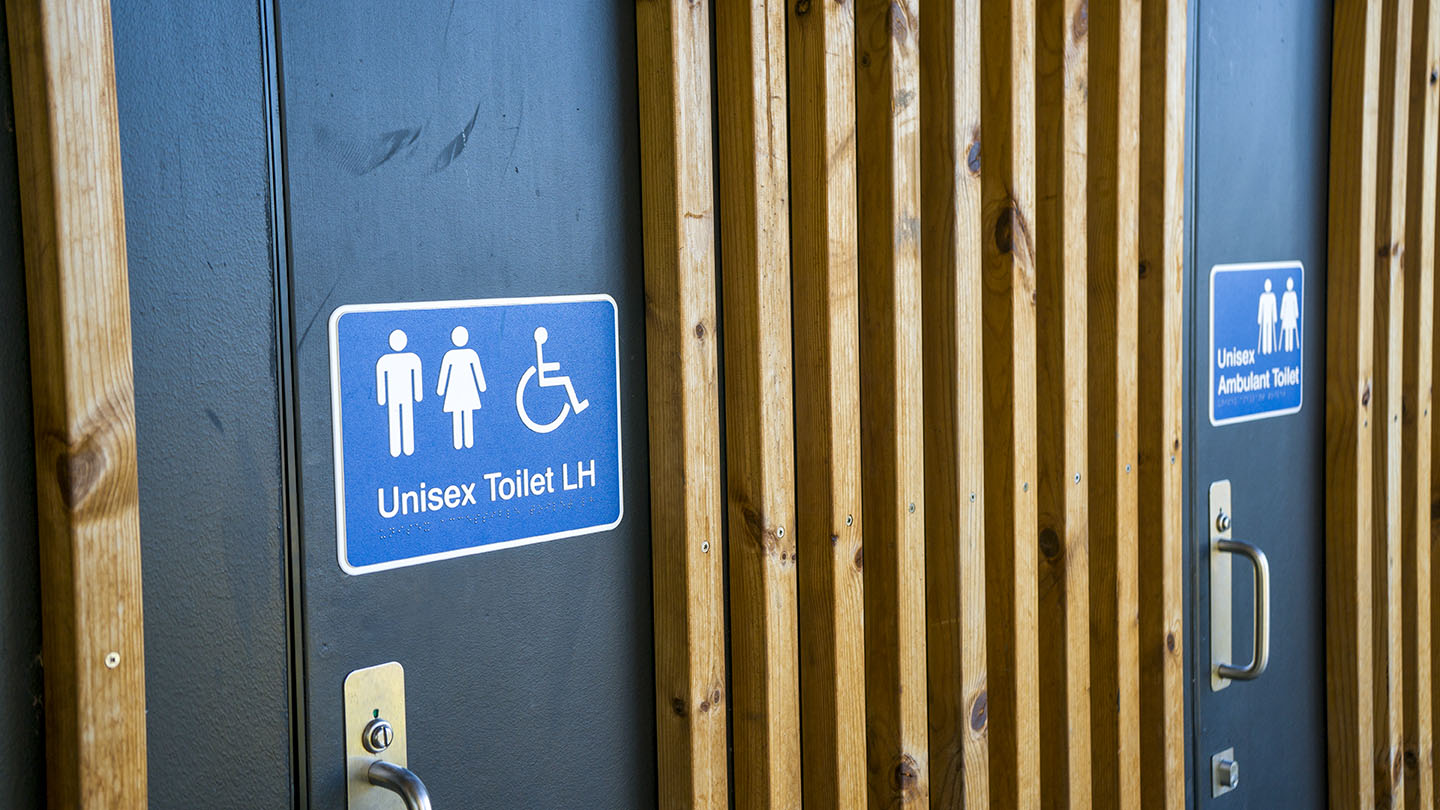
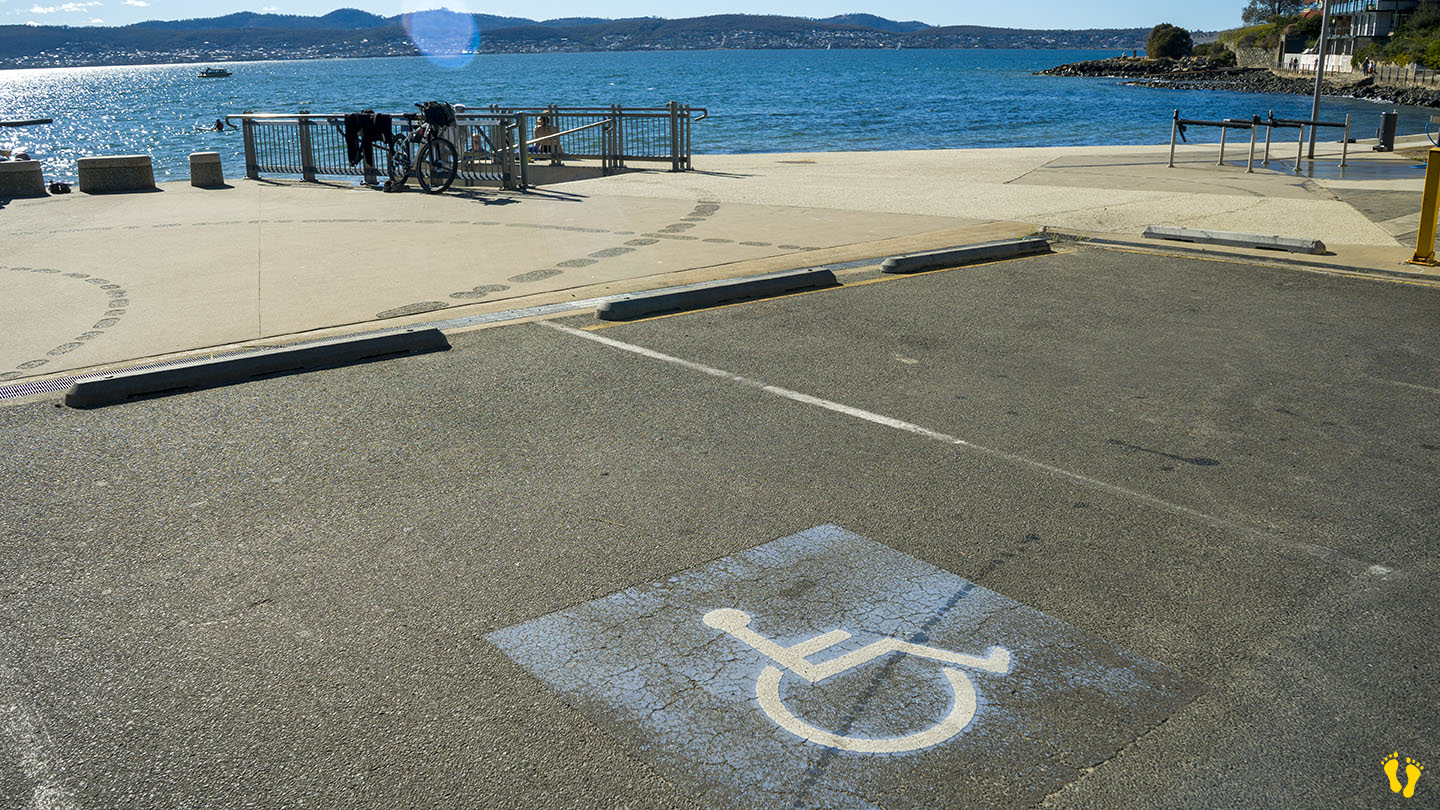
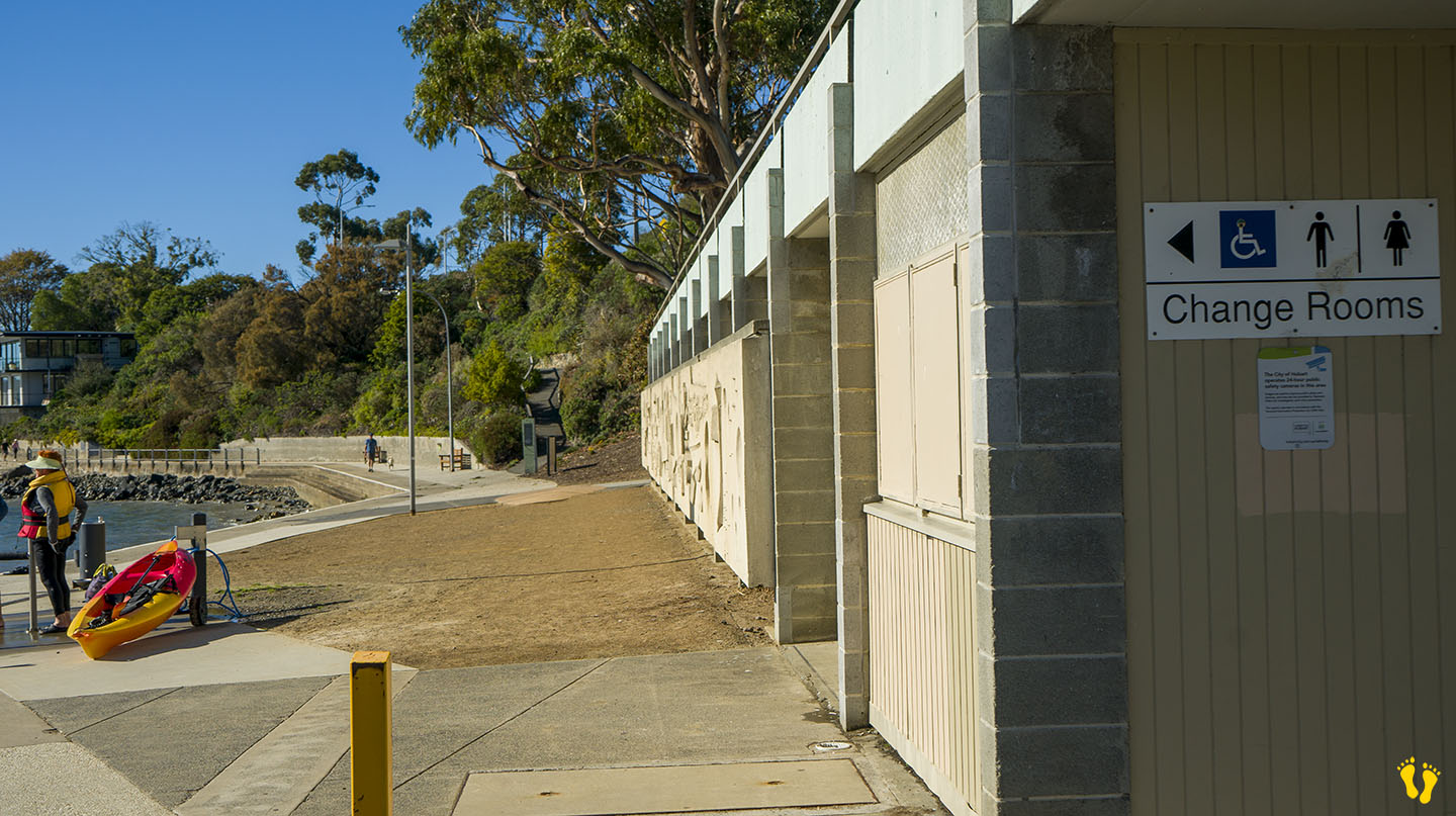
Wheel Chair Access: 2 ramps onto an often packed sand beach. Disabled toilets and parking on the north and south ends.
In Sandy Bay south of Hobart. Excellent amenities include a playground, BBQs, toilets and a large park area. It is a great family beach and park.
Accessible from 3 different main road turnoffs. The north end via Long Point Road provides access to the park and beach and is the best option for disabled access. The middle is accessed via Beach Road, near food outlets and a good general access point. The south end is good for kayak and board access.
Originally a single continuous beach, a basalt seawall was built to prevent coastal erosion in the 1970’s creating Nutgrove Beach to the north. So technically it’s now not a very long beach, but hey the name stuck.