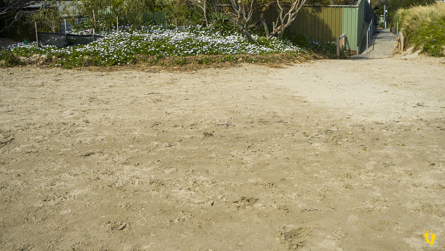
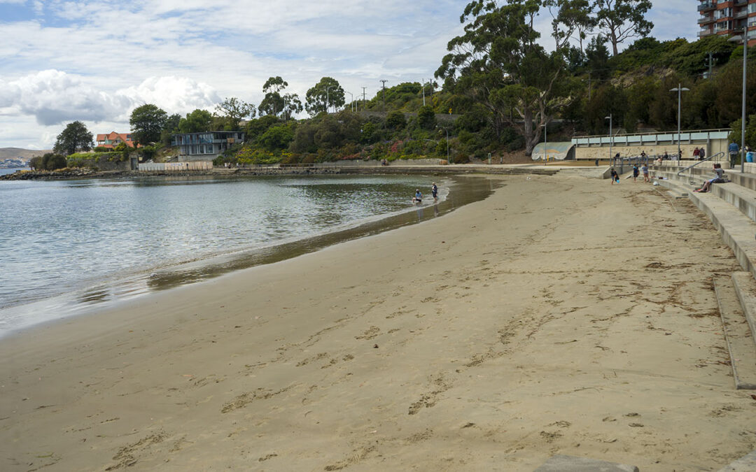
by Mickey Jarvis | Dec 29, 2022 | Greater Hobart, Low Hazard
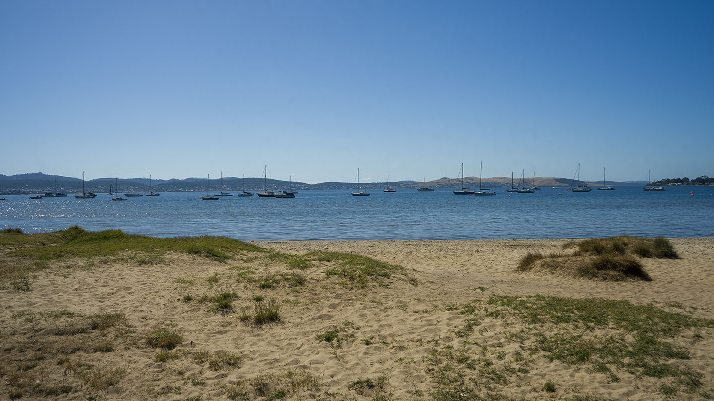
Eastern Shore near Hobart |
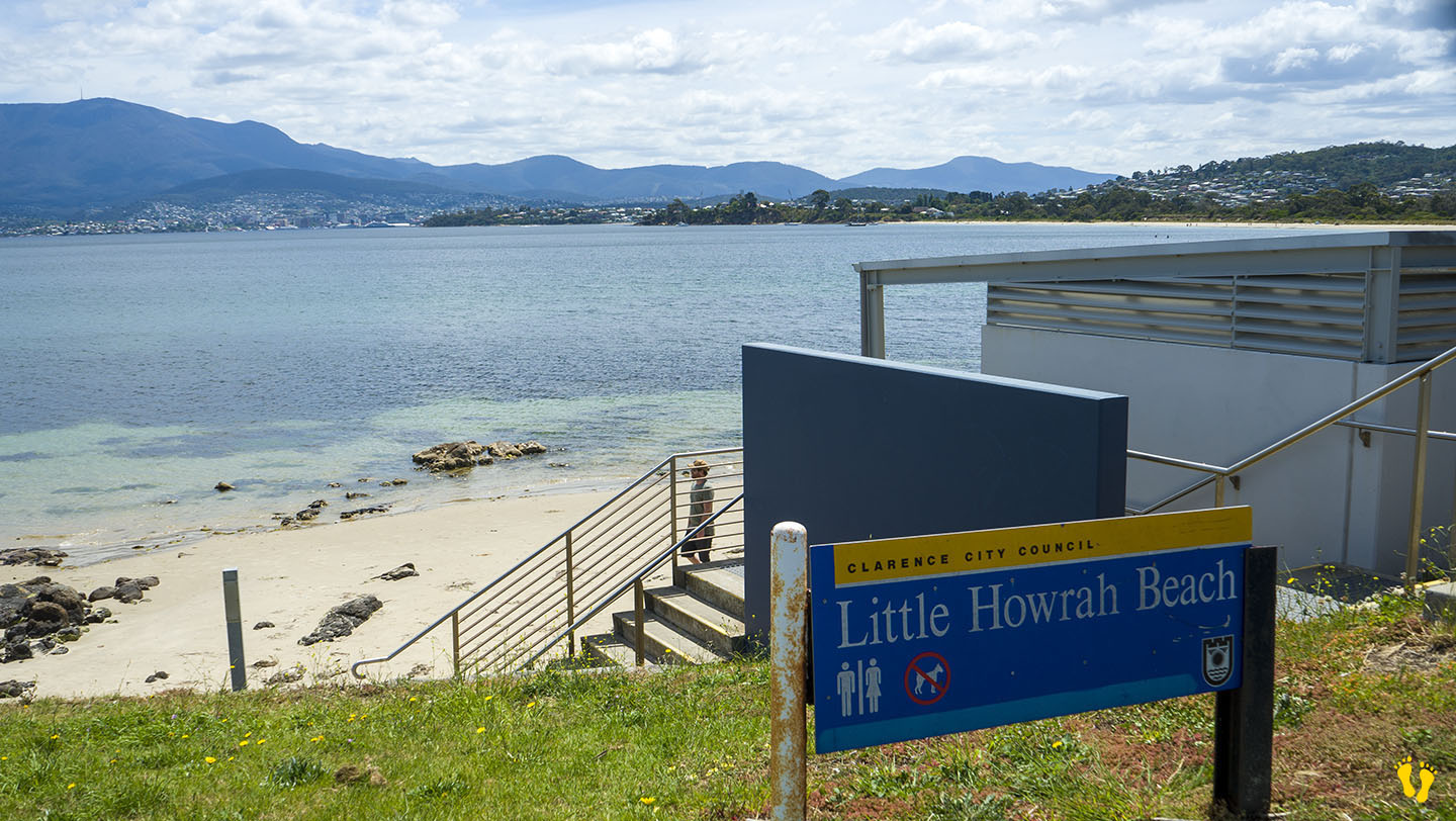
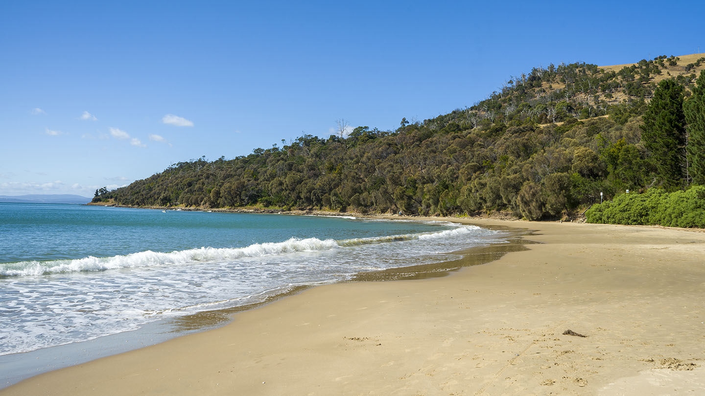
Hazard Rating: Low | Parking: Good + close | from Hobart: 14 km | Faces: West into the Derwent River | Length: 200 m
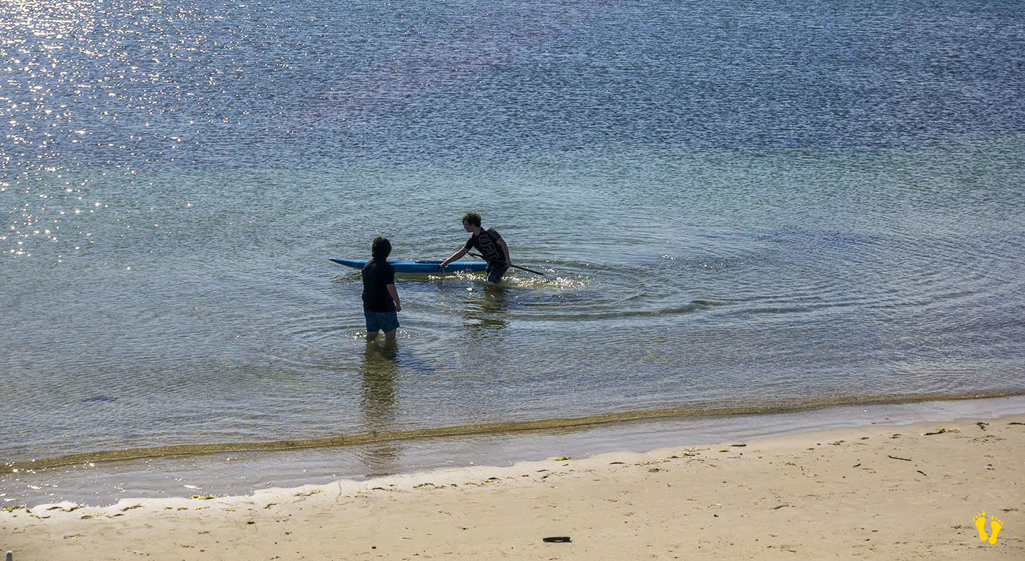
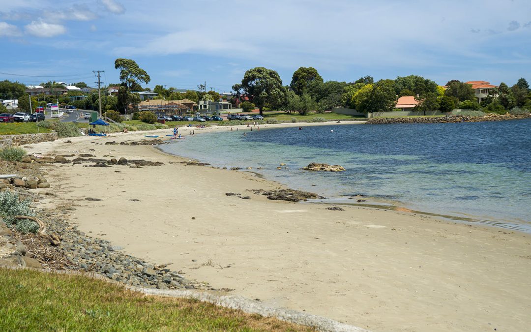
Little Howrah Beach just south of Howrah Beach is a protected beach ideal for families with young children. Great for learning to paddle board or kayak. Sand and grassy areas to relax. Shops nearby, good parking and toilets. Guess what – it’s small – but I highly recommend it. Good amenities and great views of Kunanyi. No dogs.
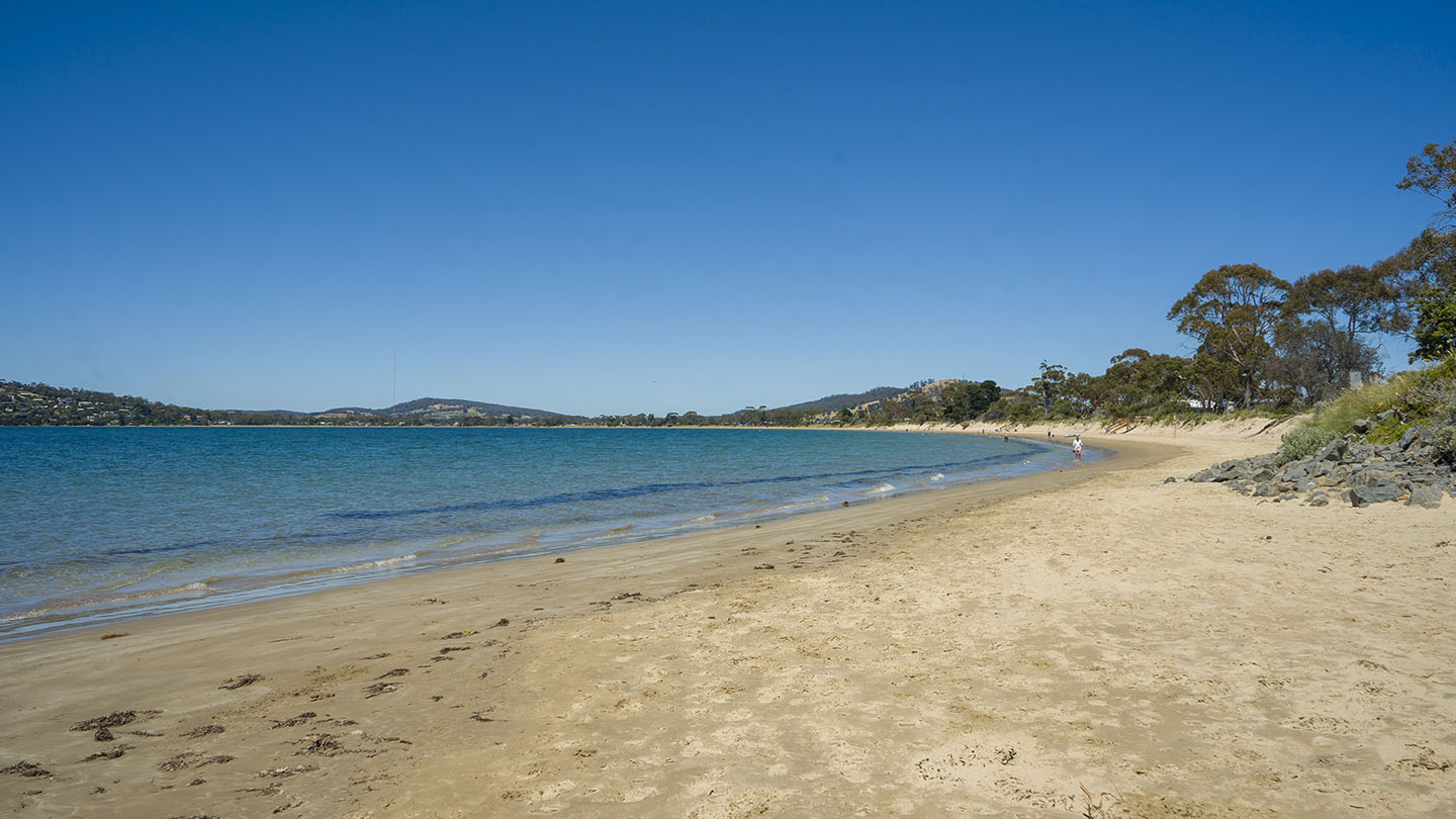
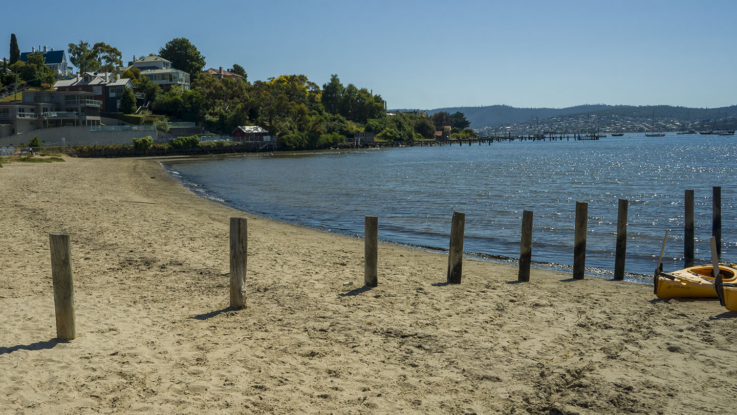
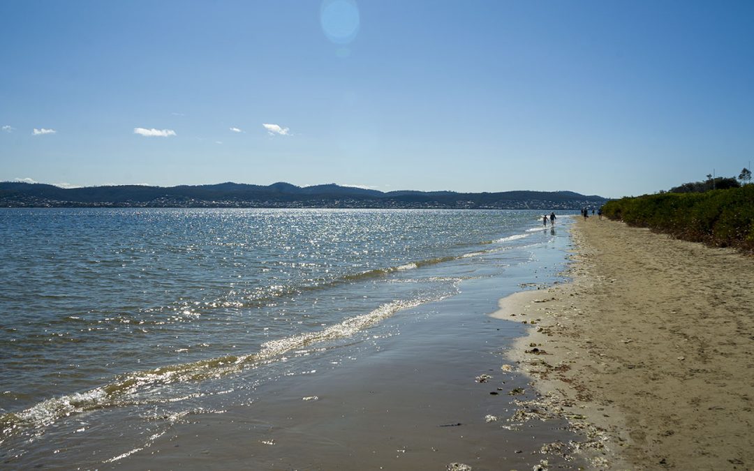
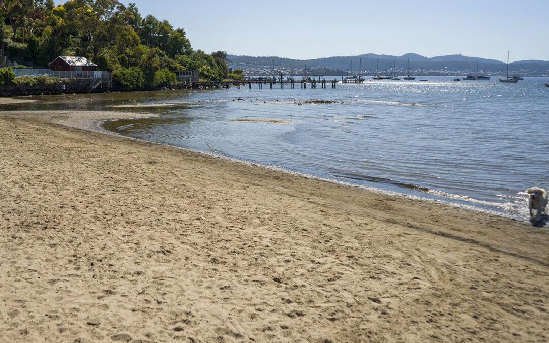
by Mickey Jarvis | Jan 21, 2023 | Greater Hobart, Low Hazard, Patrolled, Wheelchair Friendly
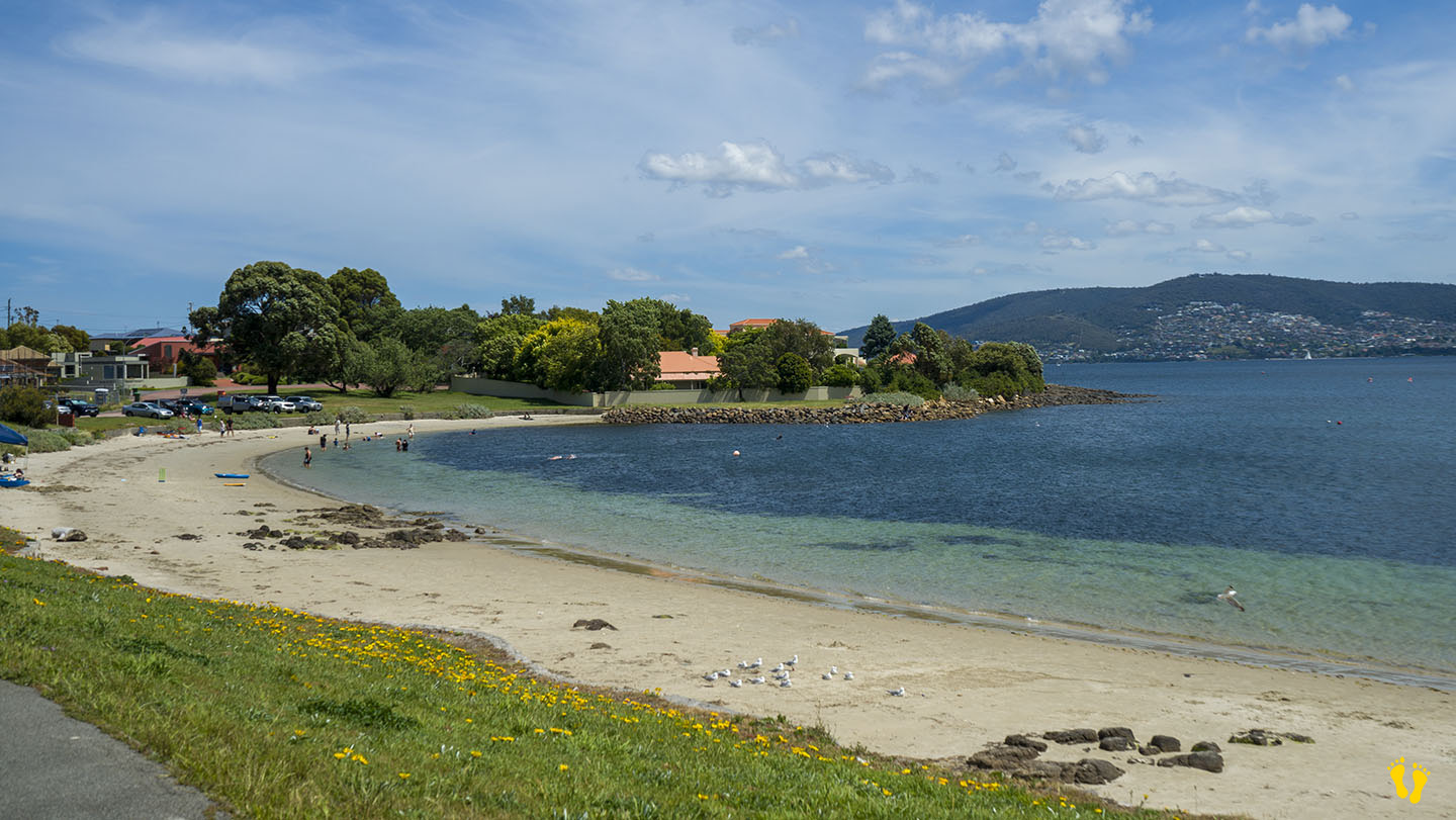
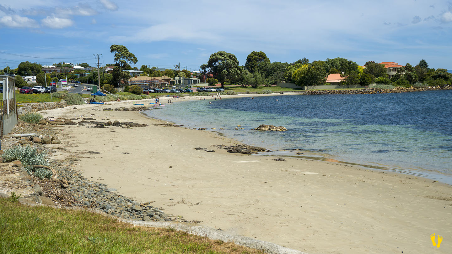
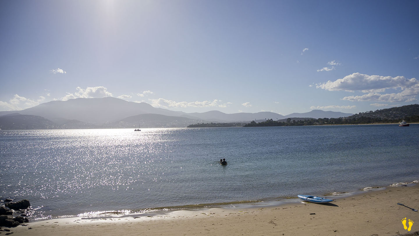
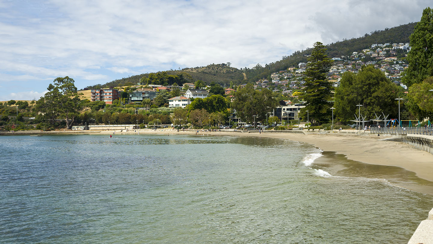
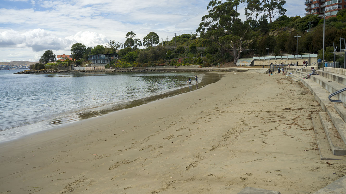
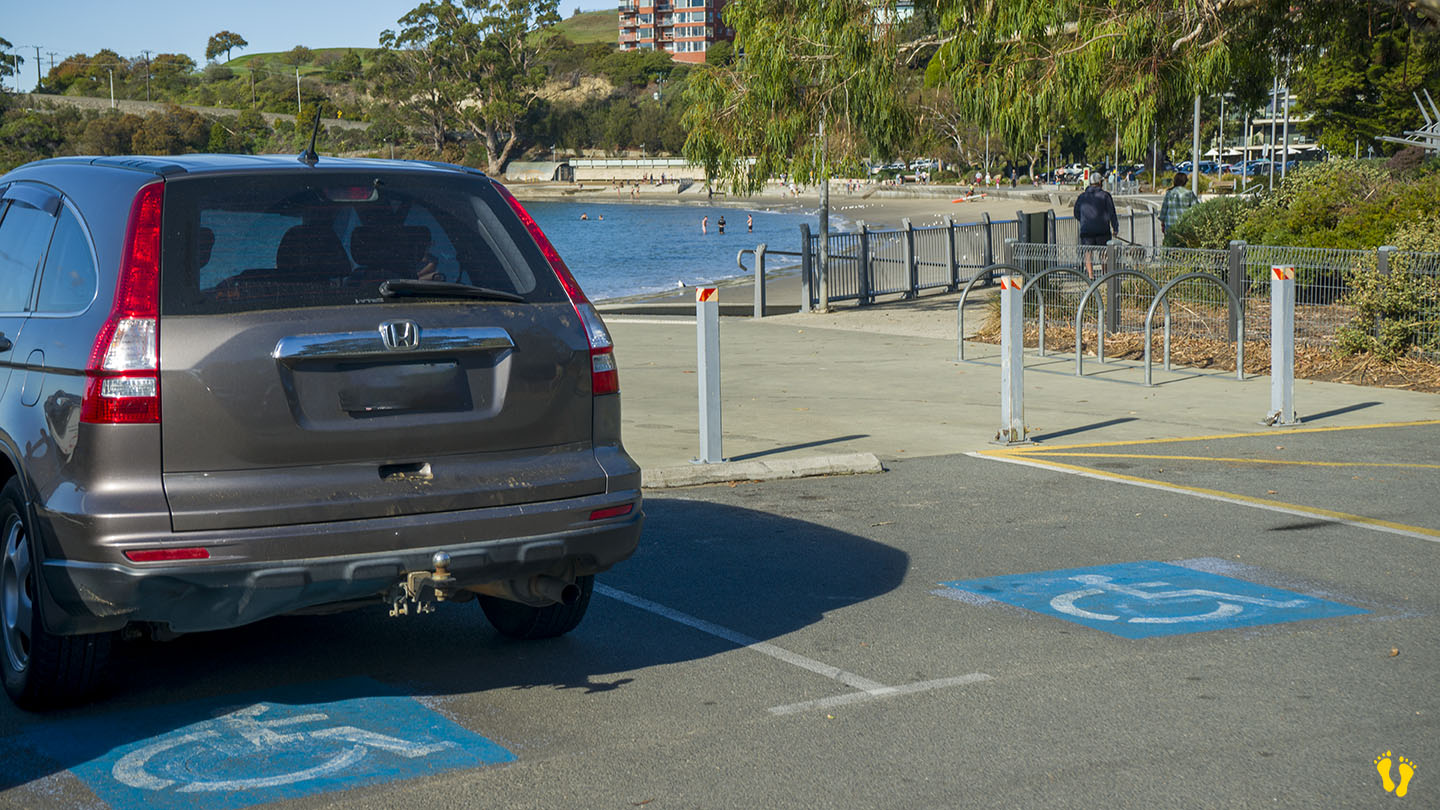
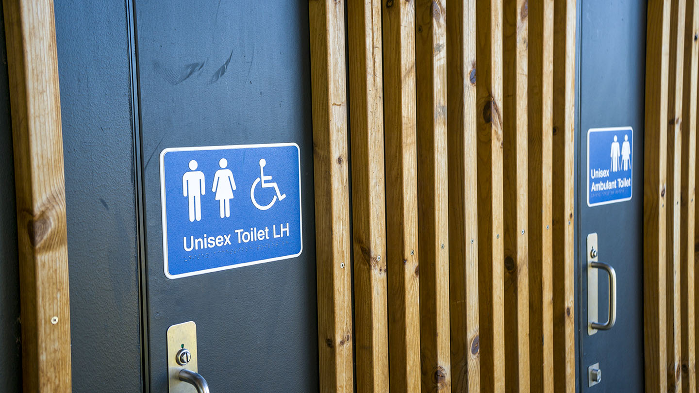
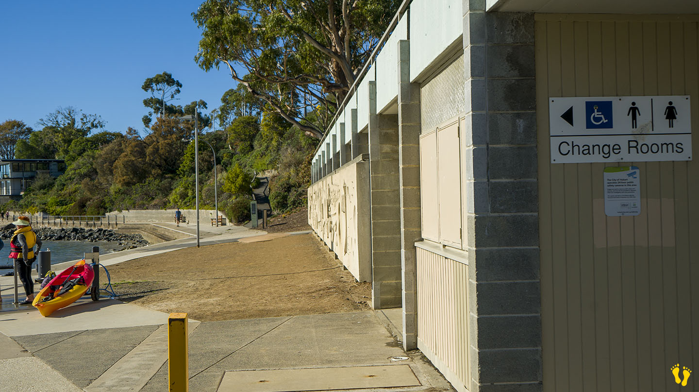
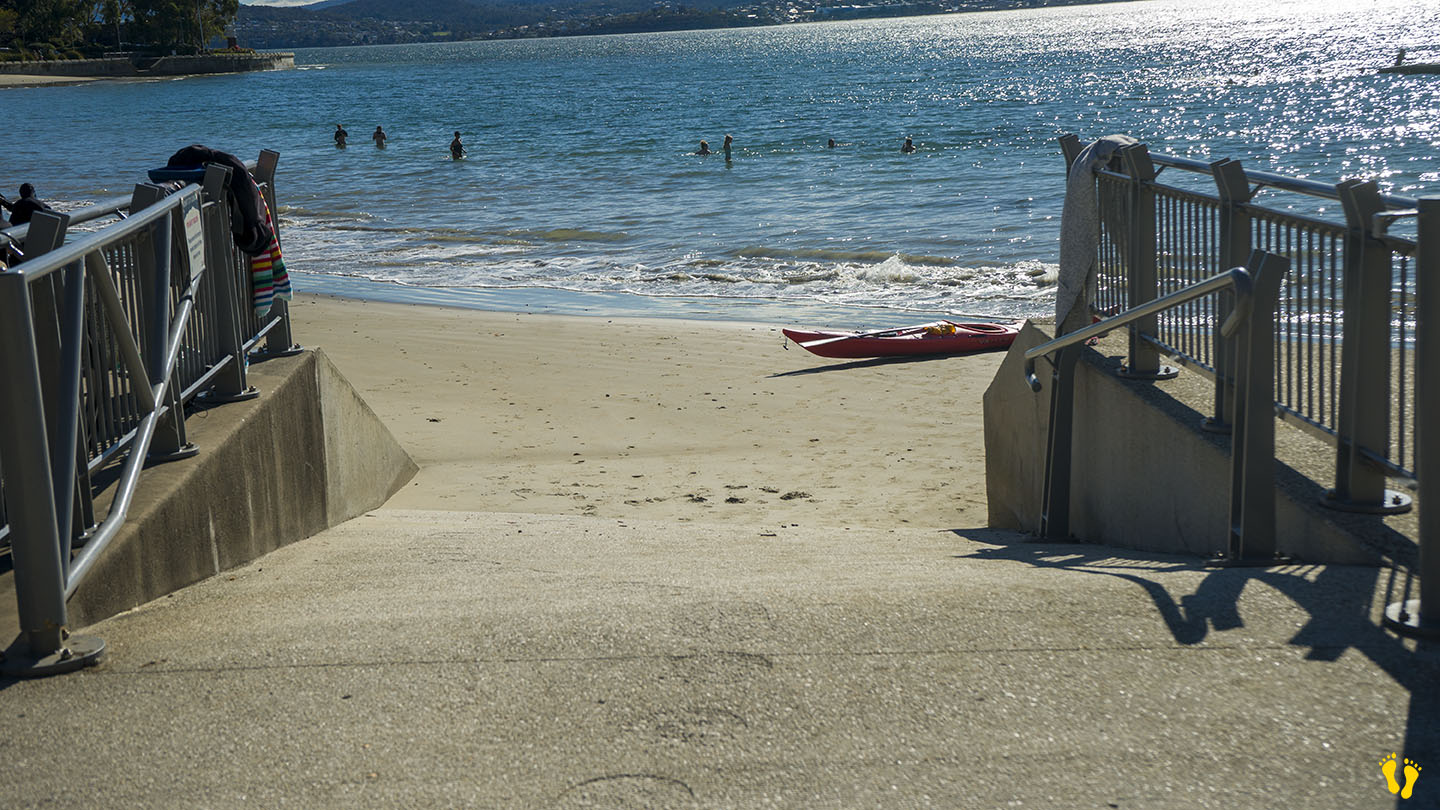
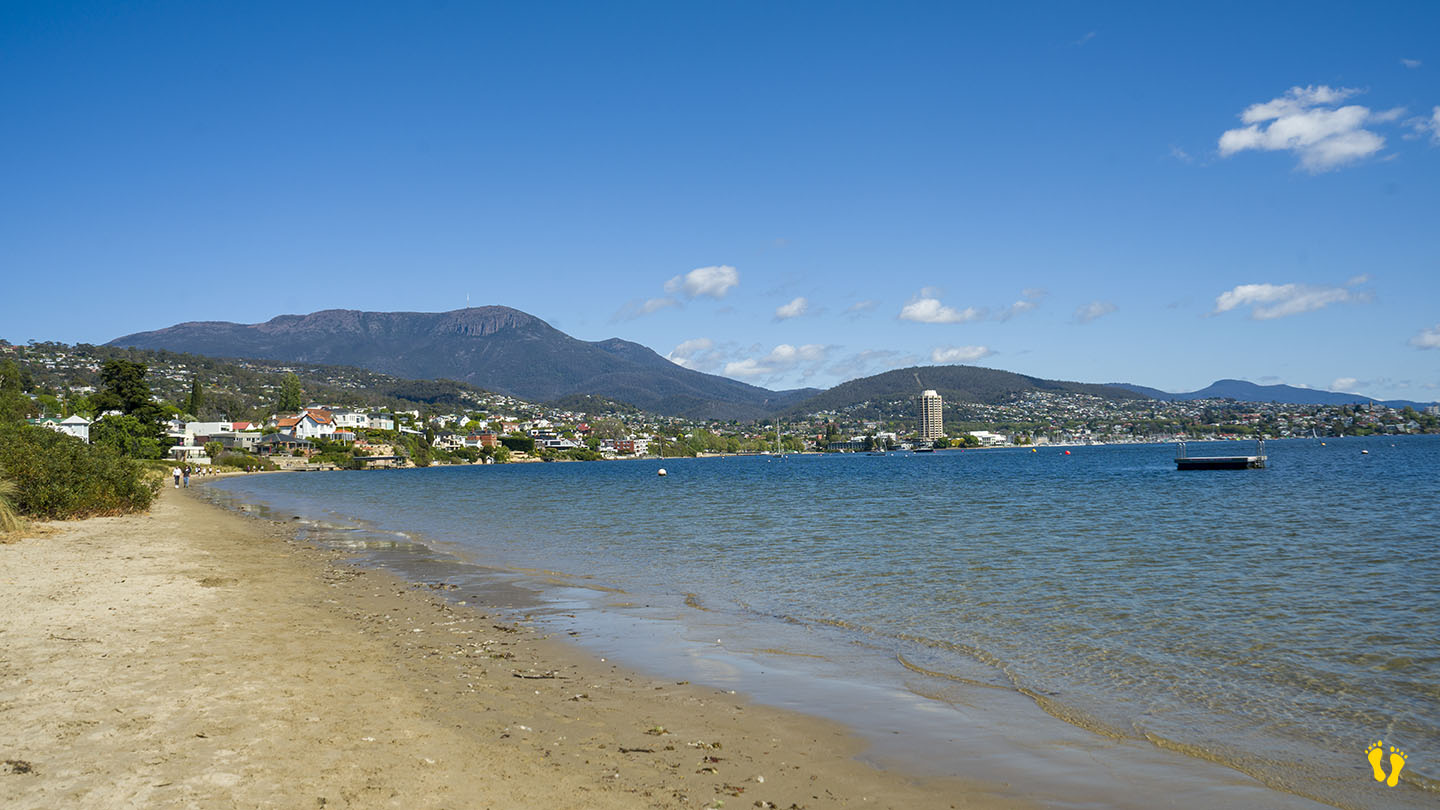
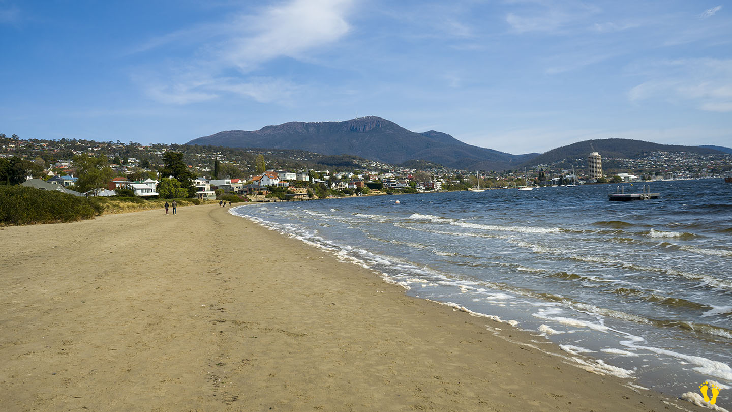
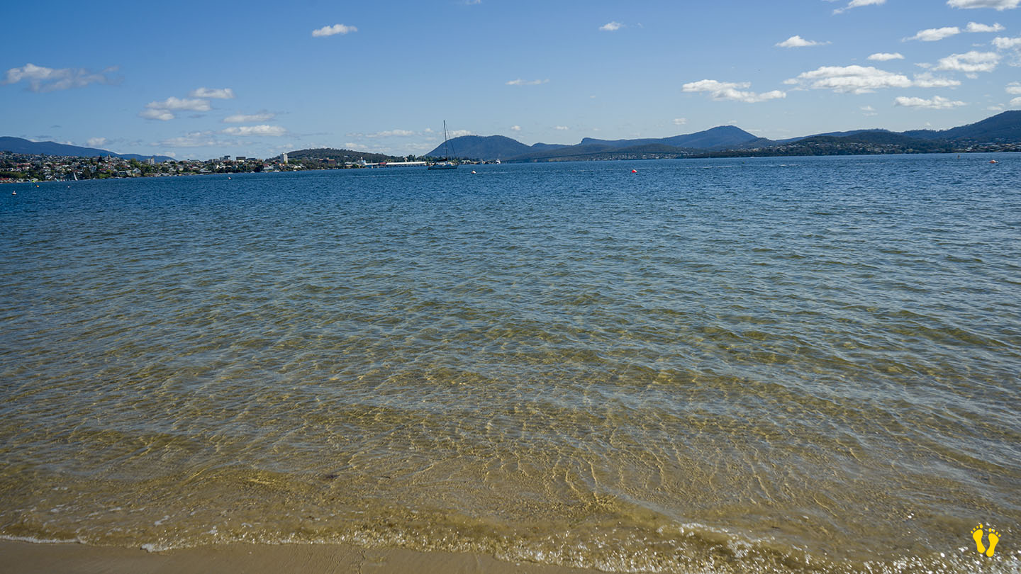
Little Sandy Bay |
Hazard Rating: 2/10 | Parking: Good + close | from Hobart: 5 km | Faces: West into the Derwent River and Little Sandy Bay | Length: 400 m
Original People: Originally named Kreewer and occupied for 35,000 years by the semi-nomadic Mouheneener people, a sub-group of the Nuennone.
Wheel Chair Access: 2 ramps onto an often packed sand beach. Disabled toilets and parking on the north and south ends.
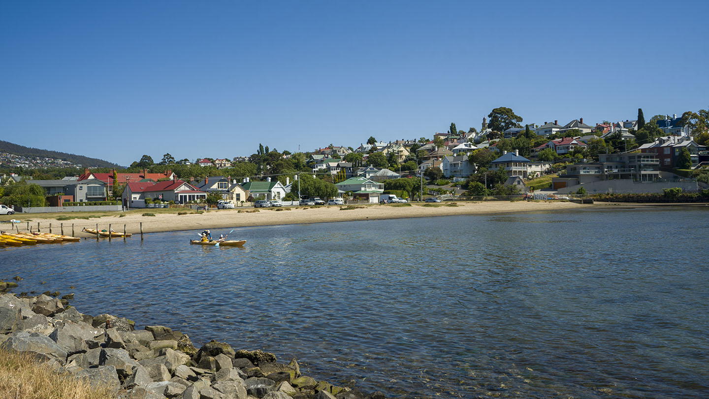
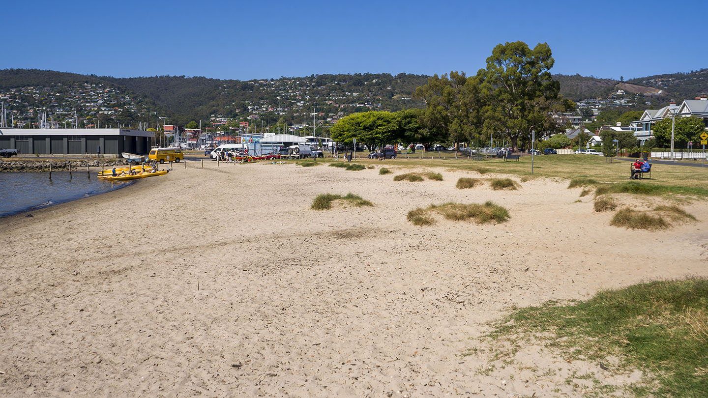
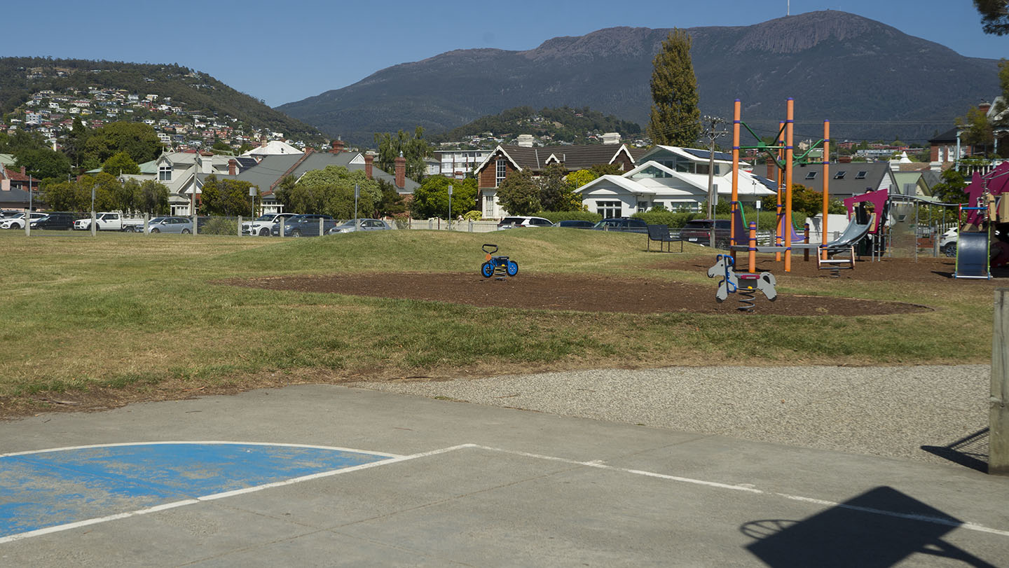
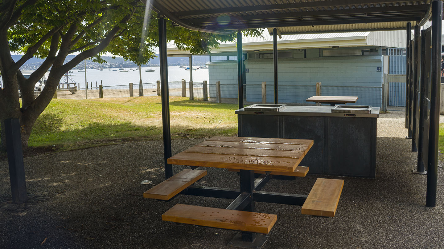
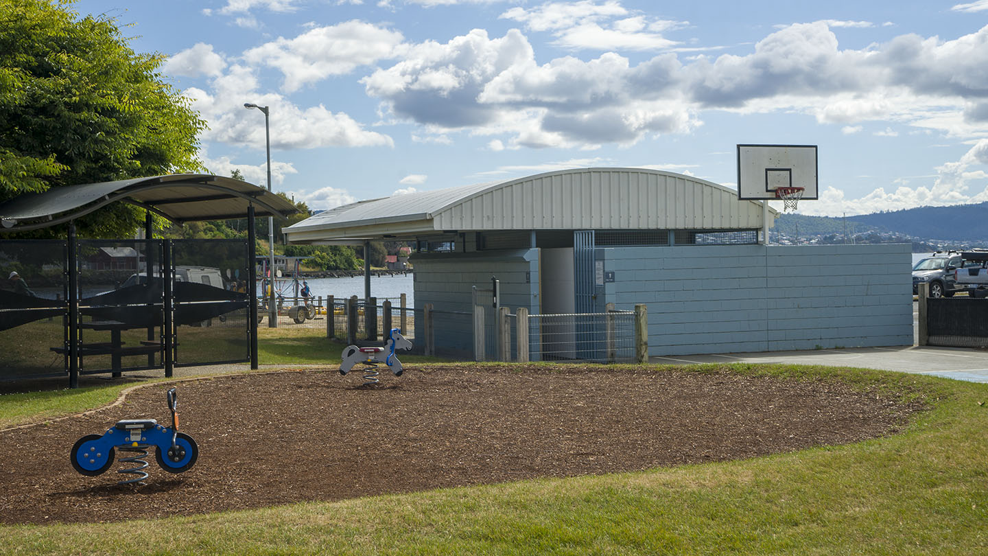
In Sandy Bay south of Hobart. Excellent amenities include a playground, BBQs, toilets and a large park area. It is a great family beach and park.
Accessible from 3 different main road turnoffs. The north end via Long Point Road provides access to the park and beach and is the best option for disabled access. The middle is accessed via Beach Road, near food outlets and a good general access point. The south end is good for kayak and board access.
Originally a single continuous beach, a basalt seawall was built to prevent coastal erosion in the 1970’s creating Nutgrove Beach to the north. So technically it’s now not a very long beach, but hey the name stuck.
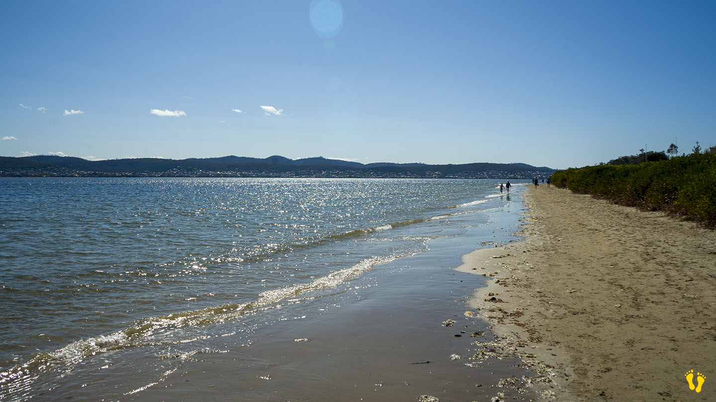
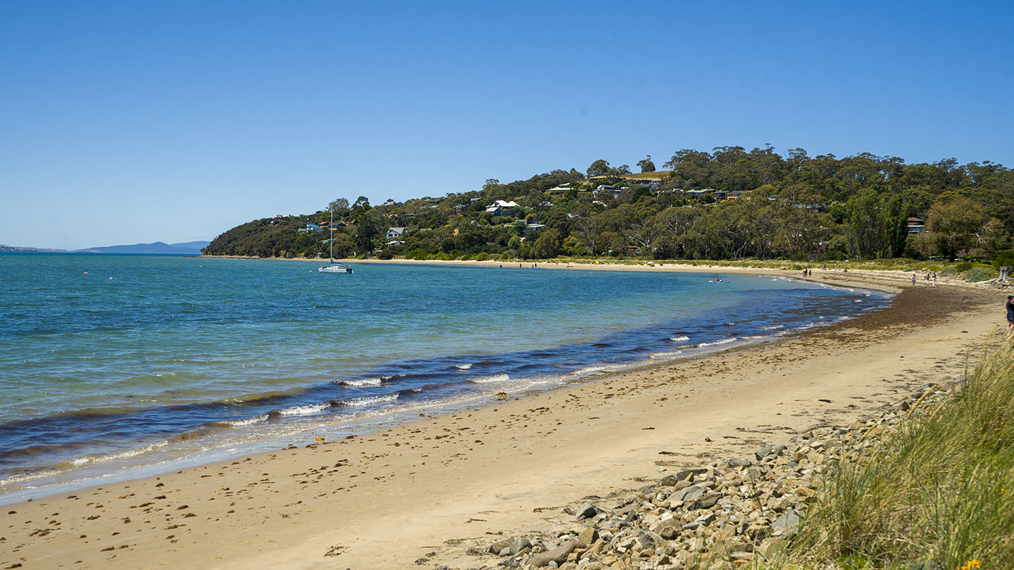
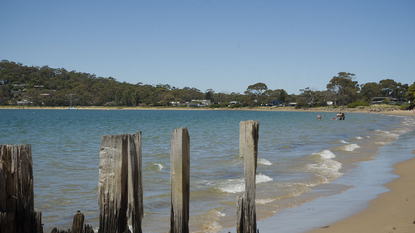
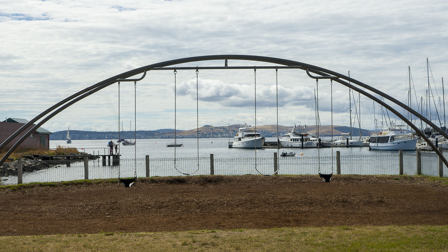
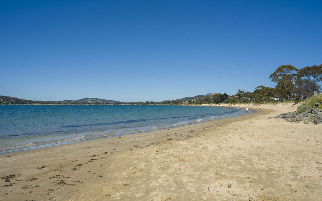
by Mickey Jarvis | Sep 28, 2024 | Greater Hobart, Low Hazard, South East
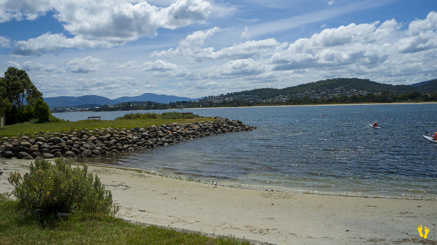
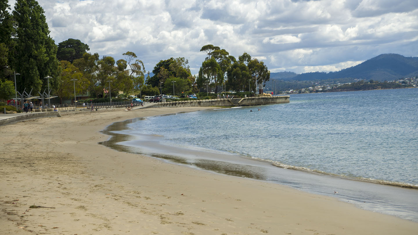
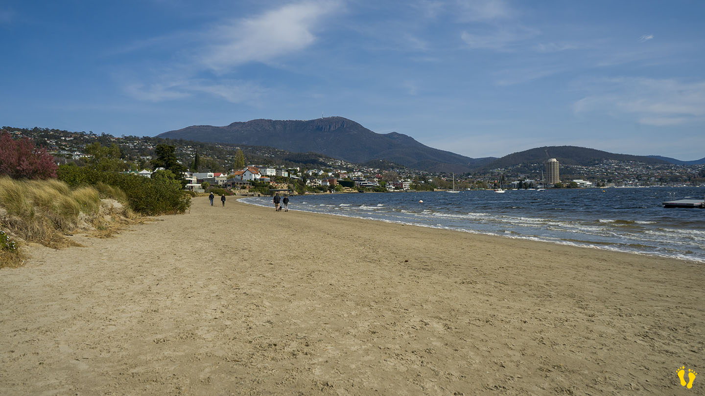
Near Sandy Bay |
Hazard Rating: 2/10 | Parking: Varied | from Hobart: 5 km | Faces: North into The Derwent River | Length: 700 m
Original People: Mouheneener people, a sub-group of the Nuennone. The Mouheneener held a permanent settlement on Long Beach called kreewer.
Originally Nutgrove Beach was a continuation of Long Beach. A basalt seawall was constructed in the 1970s to prevent foreshore erosion, dividing the beach in two. The new beach was named Nutgrove Beach after nearby Nutgrove House, an 1880s homestead built by John T. Read named after a small grove of walnut trees growing on the land.
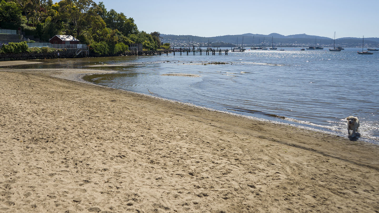
A beach with great views of kunanyi and the River Derwent – Timtumili Minanya. A floating pontoon is a great feature for kids. The beach is a favourite with dog walkers. No facilities except for nearby Long Beach.
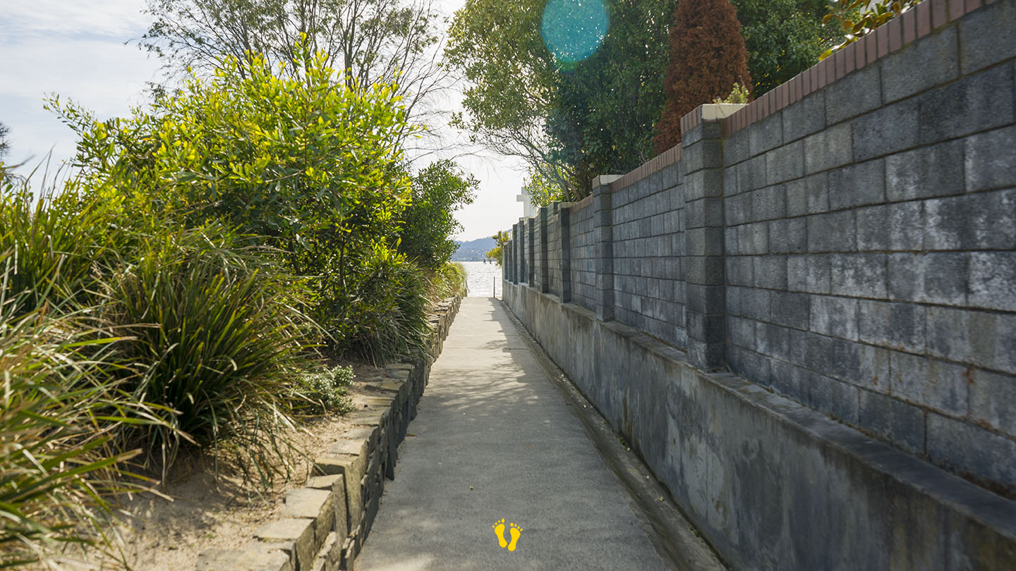
Access is via several walkways along its length with various degrees of parking availability. All are a 50m walk. Two access points mid-beach down Nutgrove Avenue at each end of Beechworth Road and two from the carpark at the end of Long Point Road, one beside the Sandy Bay Sailing Club which has good parking.
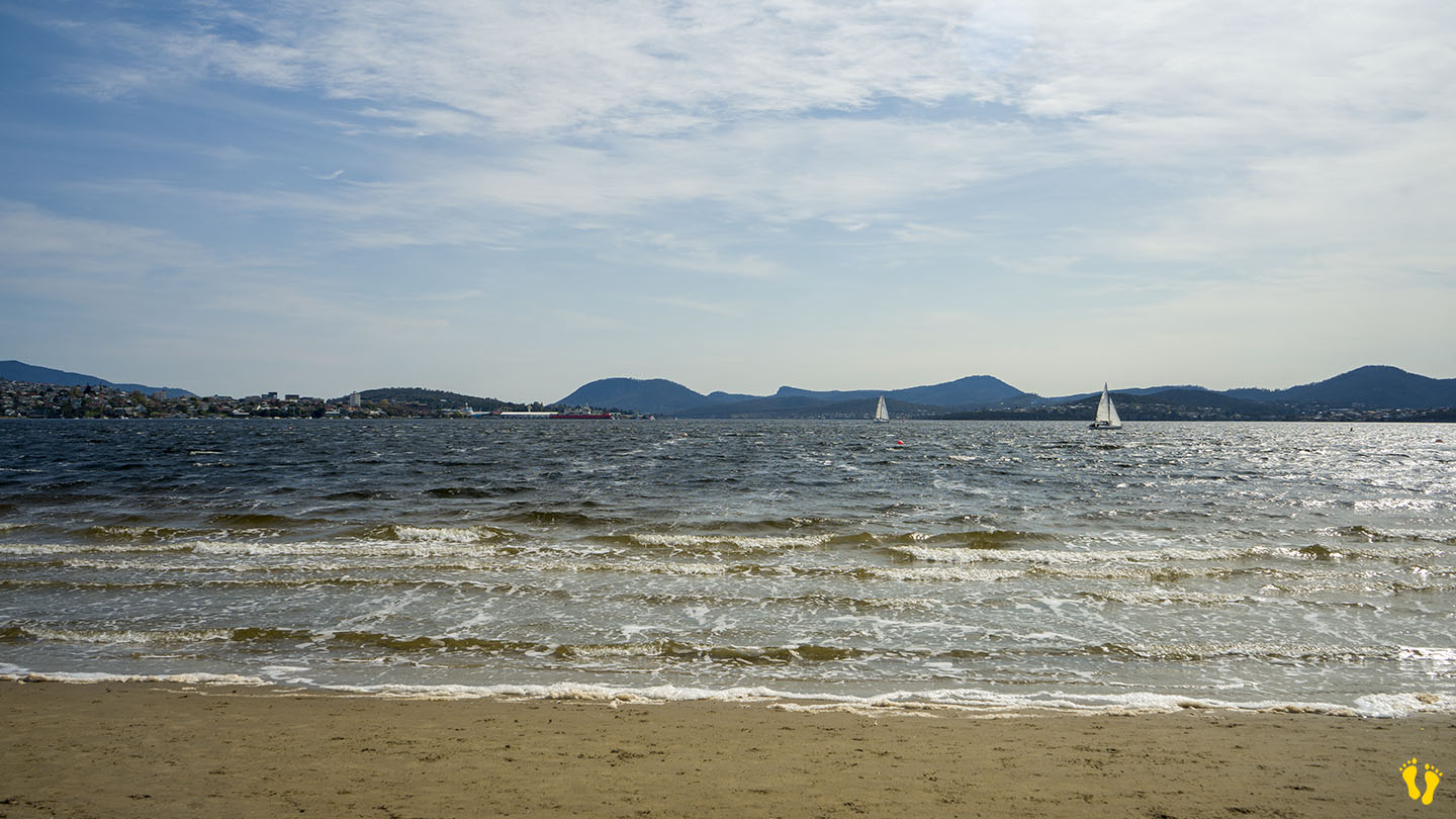
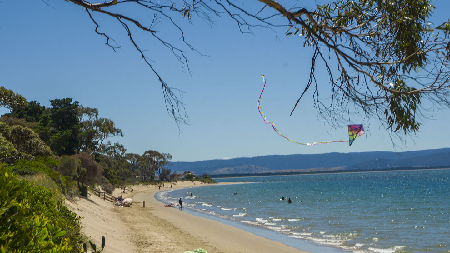
by Mickey Jarvis | Jan 8, 2023 | Greater Hobart, Surf
Eastern Shore Hobart |
Hazard Rating: 3/10 | Parking: Good + close | from Hobart: 23 km | Faces: East into Frederick Henry Bay | Length: 6 km
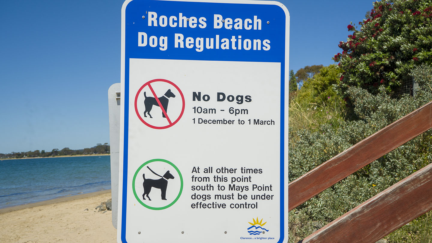
Also known as Lauderdale Beach – It starts north at Roches Beach, south through Lauderdale, and ends at Lauderdale Point which often has a good surf break.
Regular access points along the full length of the beach with several parks and amenities. The top (north) end has the best beach areas. The beach is popular with families.
Named after Henry Roche (1868). A boat ramp with amenities is near the canal at the south-ish end.
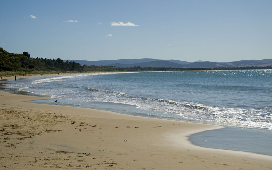
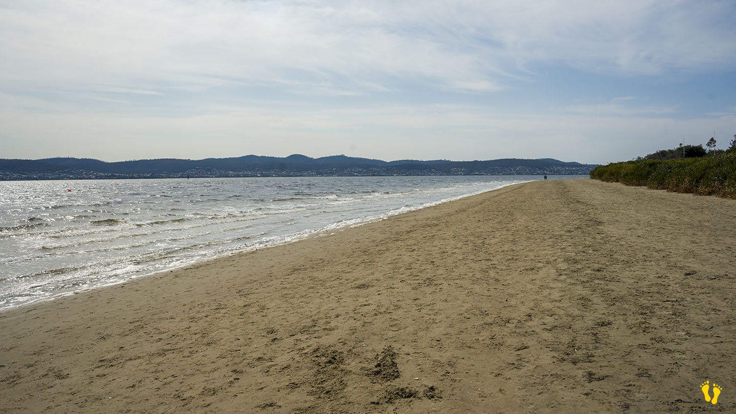
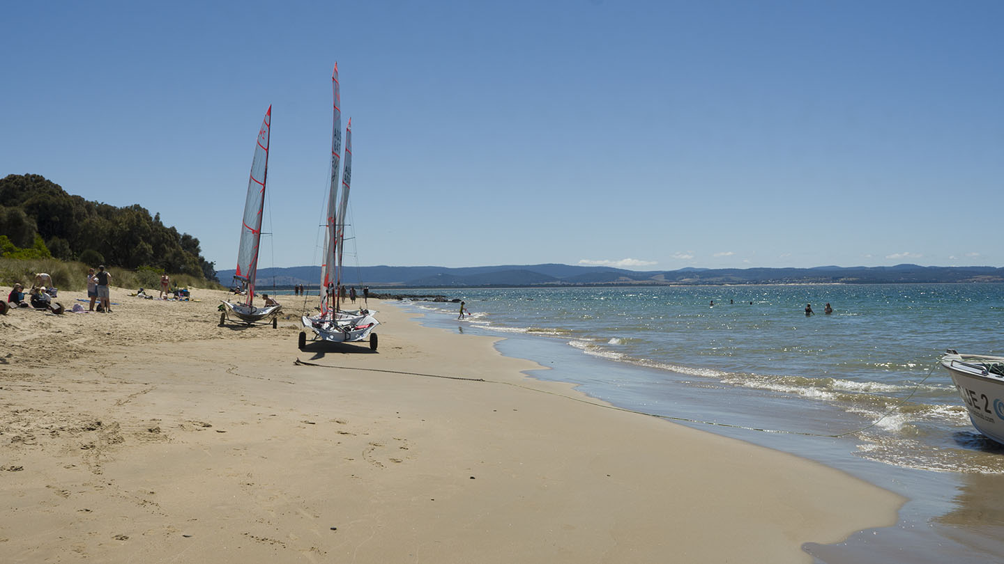
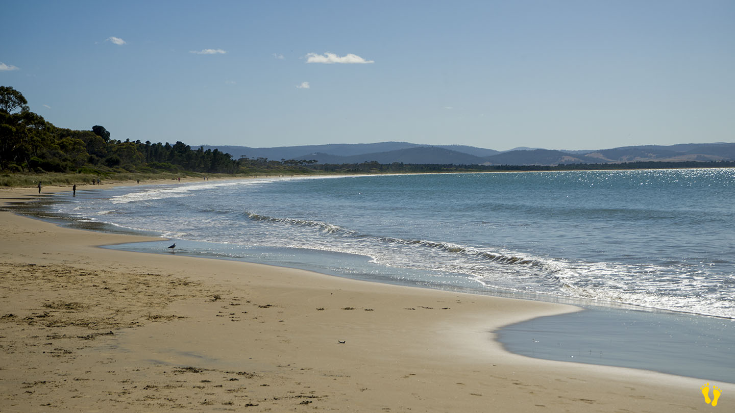
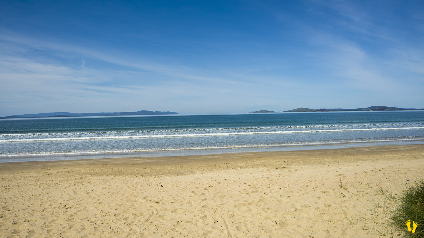
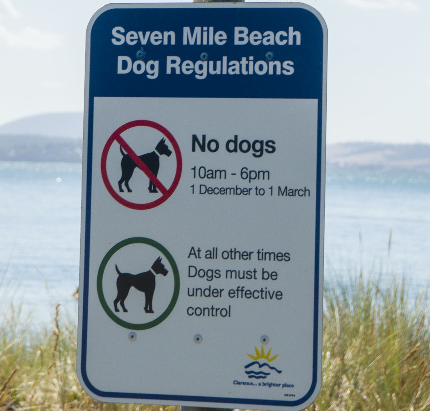
by Mickey Jarvis | Feb 10, 2023 | Greater Hobart, South East, Surf
Hazard Rating: 3-4/10 | Parking: Good and close | from Hobart: 21 km | Faces: South East into Tiger Head Bay | Length: 10 km
Who would have thought? – the beach is Just under 7 miles long! (about 10 km). A beautiful sweeping beach worth a walk along its length, mind you that would be a 20 km walk if you want to get back to where you started!
The beach is split into west and east which are accessed differently.
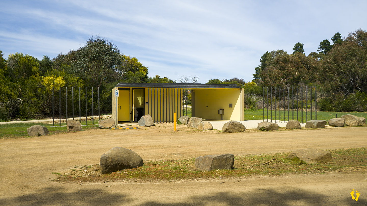
EAST END
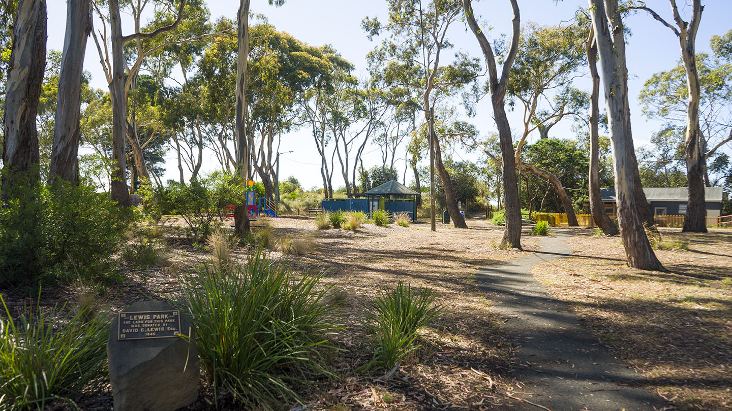
The most commonly used end with access to the beach from several points. This includes Lewis Park which has a playground for kids, toilets and BBQ areas. There is also a nearby shop.
Access via Acton Road – Estate Drive – Seven Mile Beach Road or via the Airport Road (Holmans Drive – Grueber Avenue).
WEST END
Access via Pittwater Road (just past the Airport Road and Barilla Bay Oysters) – turn right.
______________________________
A great beach not far from Hobart with many options which is ideal for kids and families.
If you are thinking of trying to access the far east end of the beach via Surf Road, Central Road or 5 Mile Beach Road, don’t bother – at this point in time they are all blocked. The only way to get to the far east end of the beach is to walk (or ride a horse) – maybe a good thing!
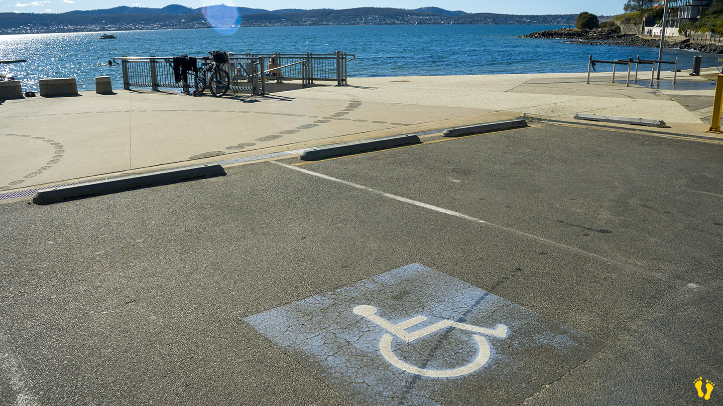
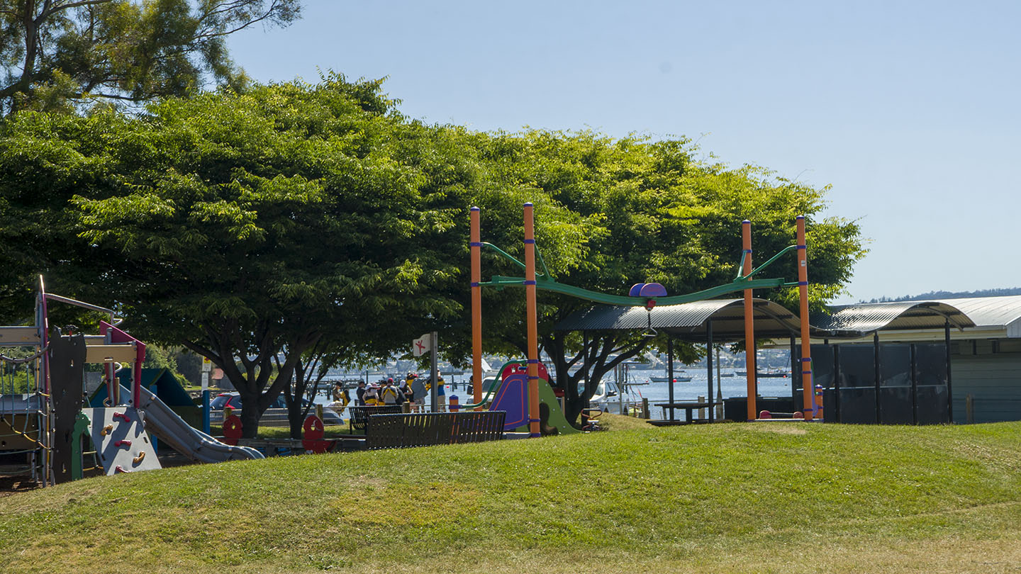
by Mickey Jarvis | Jan 14, 2023 | Greater Hobart, Low Hazard, Wheelchair Friendly
Hazard Rating: Low | Parking: Good + close | from Hobart: 2.4 km | Faces: East into the Derwent River | Length: 150 m
Wheel Chair Access: Disabled parking and a gentle gradient to the beach often on packed sand.
Short Beach is situated near Sandy Bay and Battery Point and surprisingly – it is not very long! Best accessed via Queen Street,
A protected beach with a playground, great swings, toilets and a BBQ area.
A dog friendly beach that is great for dog walking.
Ideal for learning to paddle board or kayak, but often not recommended for swimming due to poor water quality.