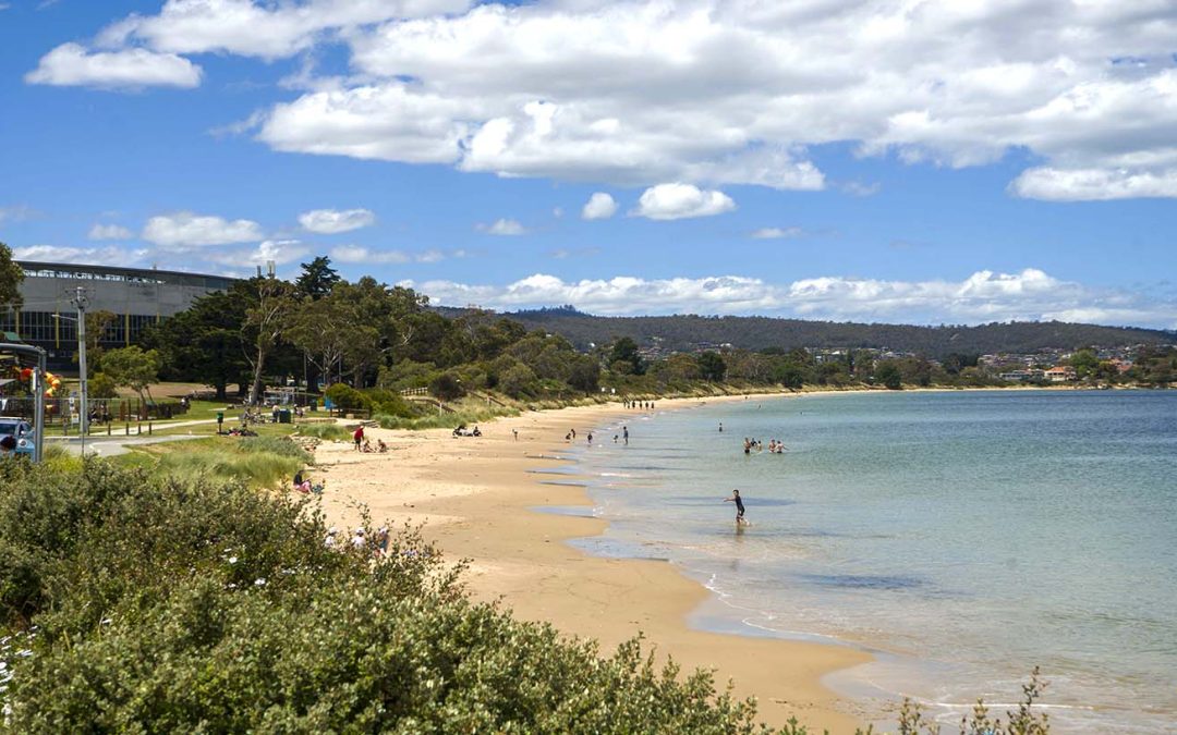
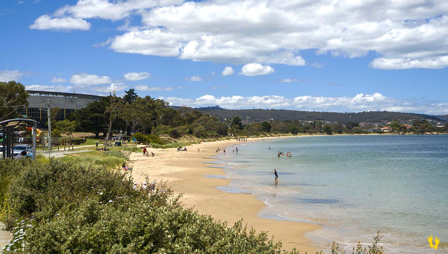
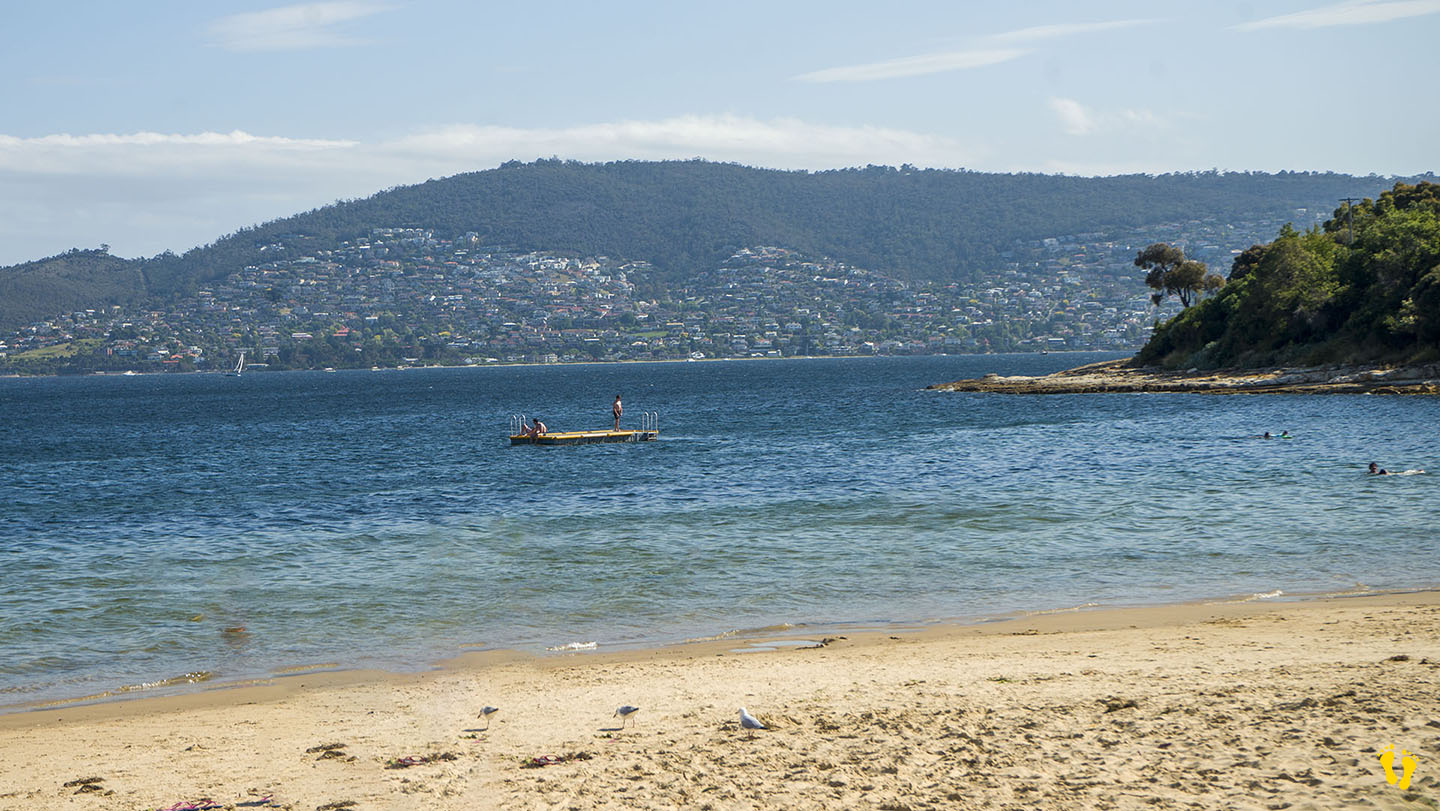
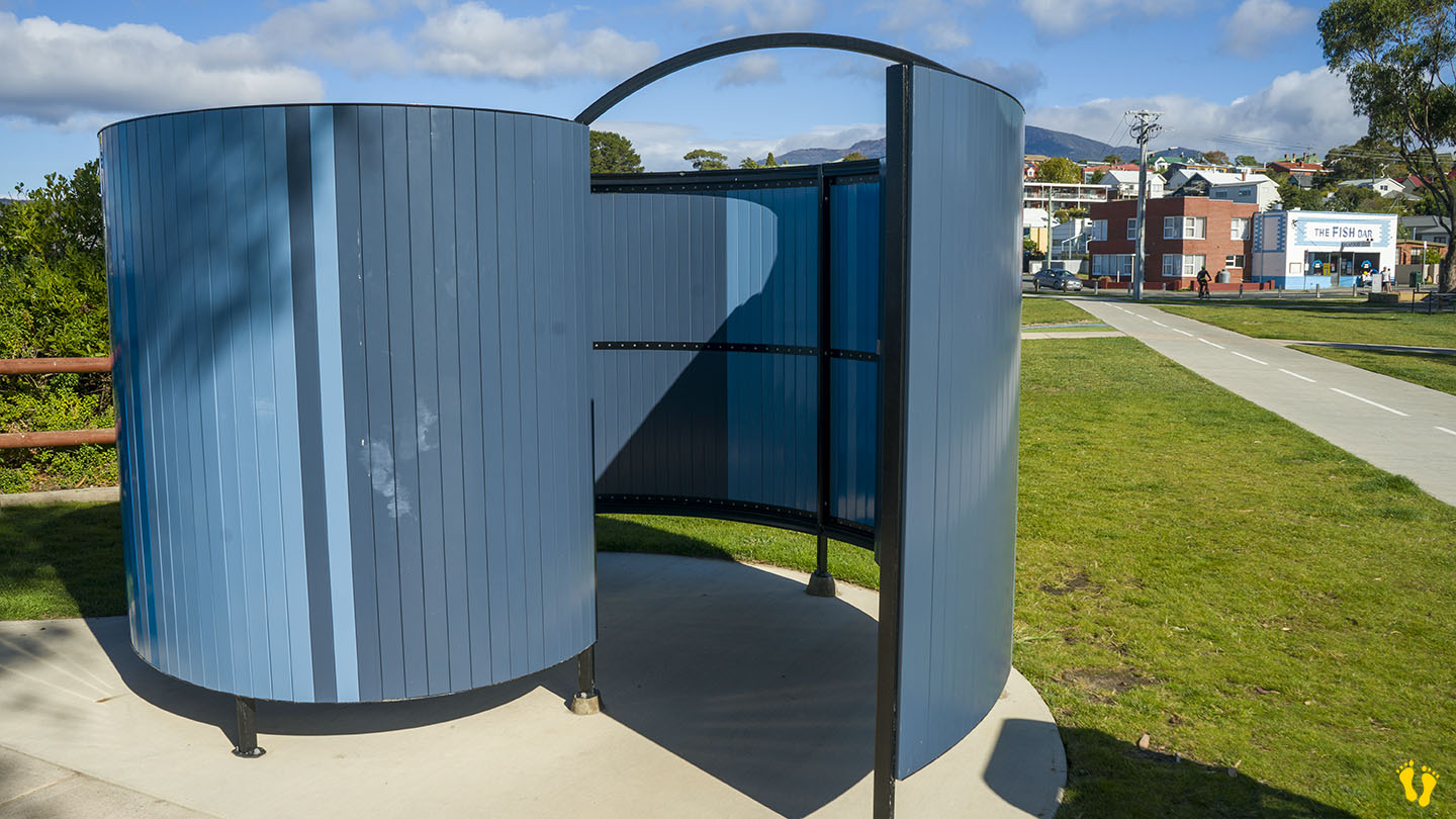
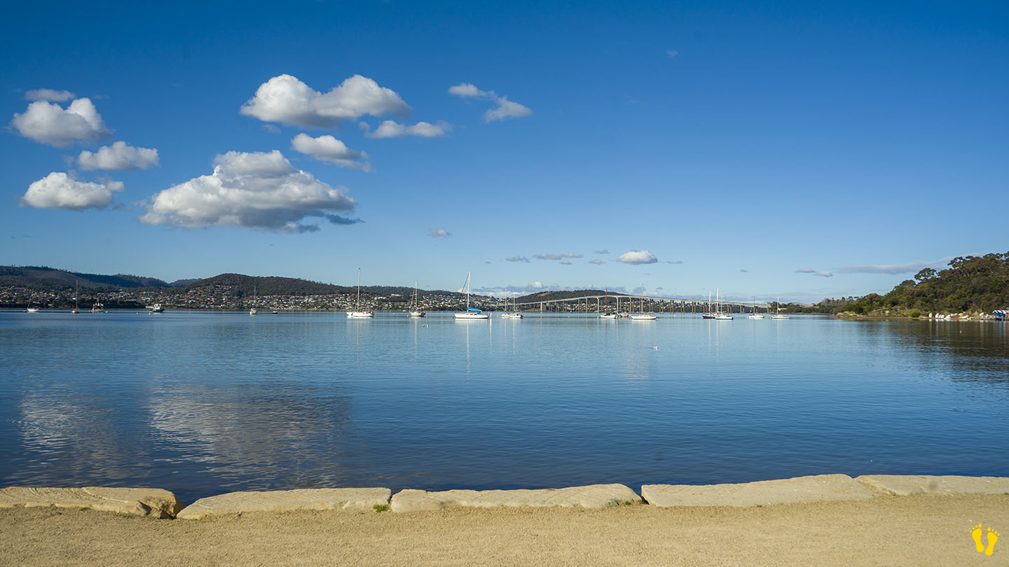
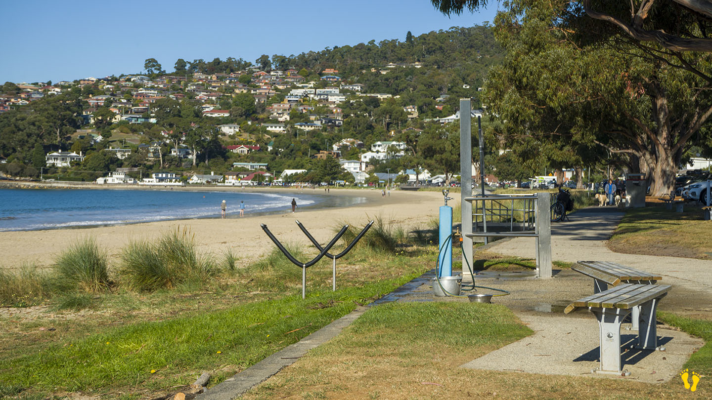
A sheltered beach ideal for families with several entry points and parking along its shore. Part of the foreshore trail. A wonderful walk is along Bellerive Beach, Second Bluff, and Howrah Beach. Toilets are on the west end, about 150m from the playground, none in the middle or the east end.
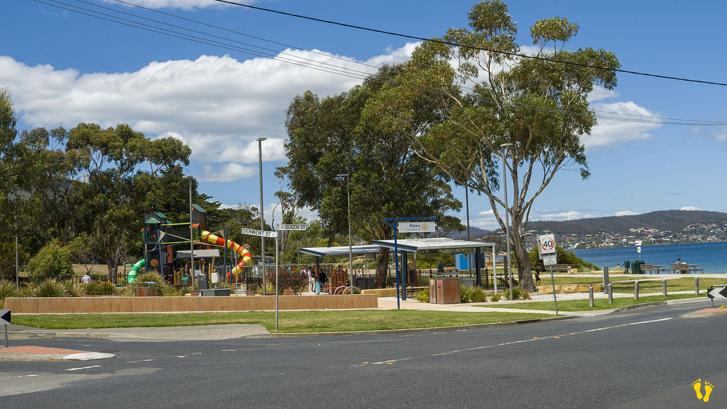
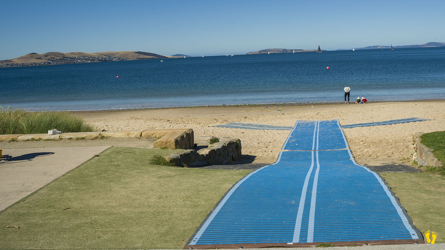
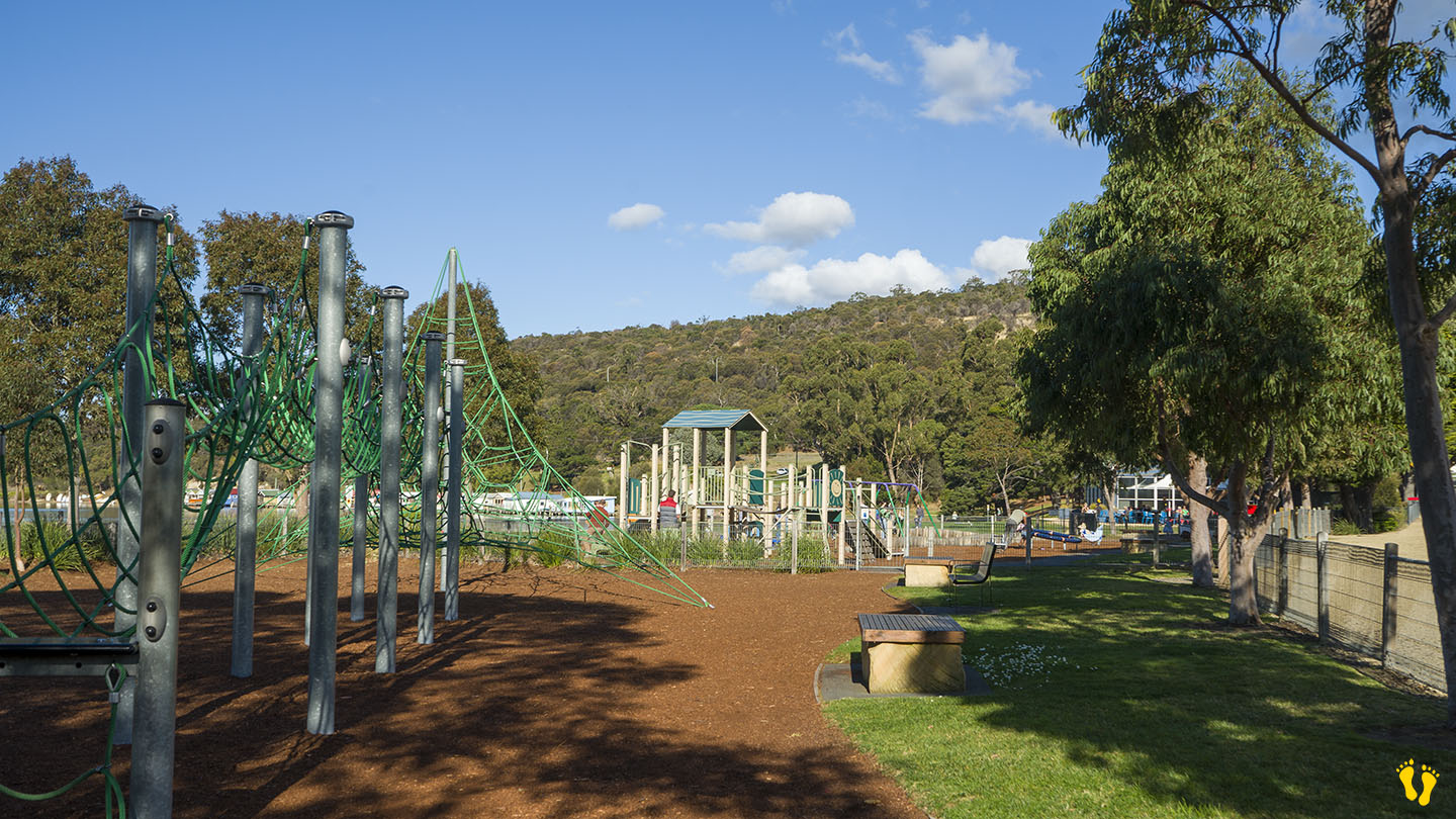
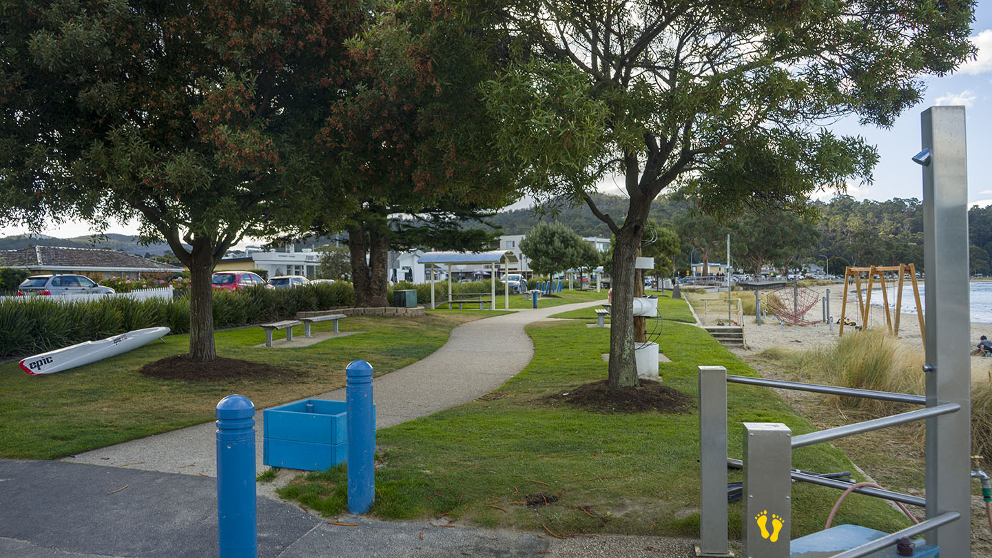
The west end (near Bellerive Oval) has an excellent playground, park, BBQ facilities, and outdoor gym. A well-thought-out beach and park area that includes many things for a diverse group of users, including 3 BBQ areas. Wide flat paths good for wheelchair access.
It was originally named Kangaroo Point in 1820 and changed to Bellerive in the 1830s. Bellerive is French for ‘beautiful shore or river bank’. Occupied for 35,000 years by the semi-nomadic Mouheneener people, a sub-group of the Nuennone.
A highly recommended fish & chip shop – The Fish Bar – is also on the foreshore.
Parking: Good + close | from Hobart: 5 km | Faces: East into the Derwent River | Length: 1 km
Original people: The Aboriginal Mouheneenner band lived in Cornelian Bay area for 8000 years – shell middens can still be seen at the top of the low cliffs of Cornelian Point (north), as well as other interesting geological features.
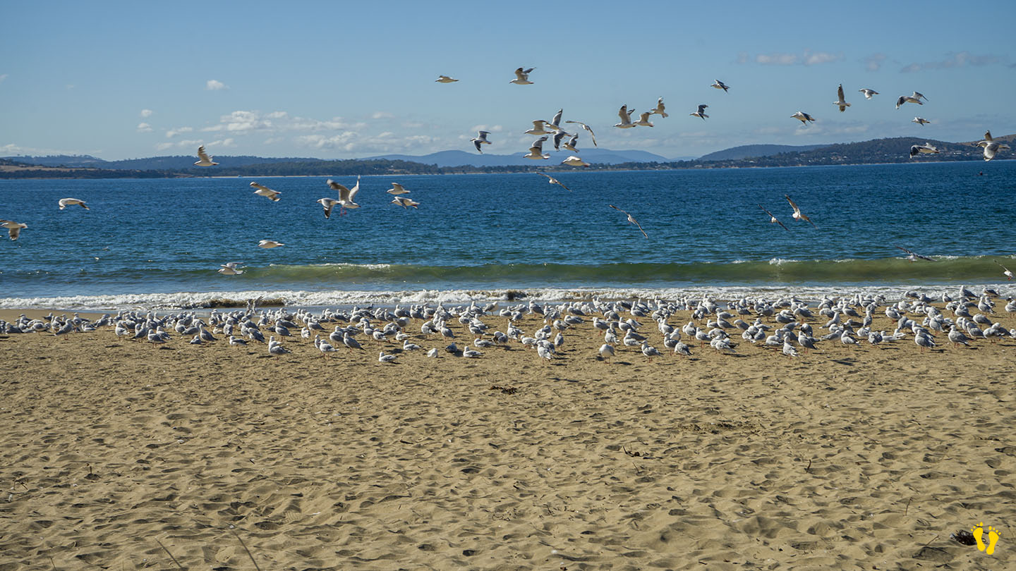
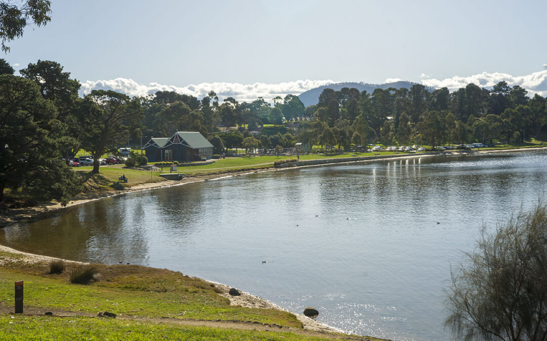
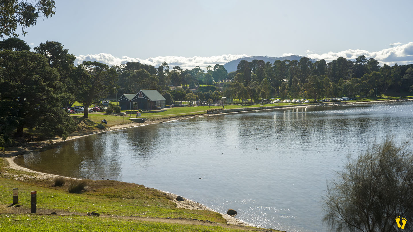
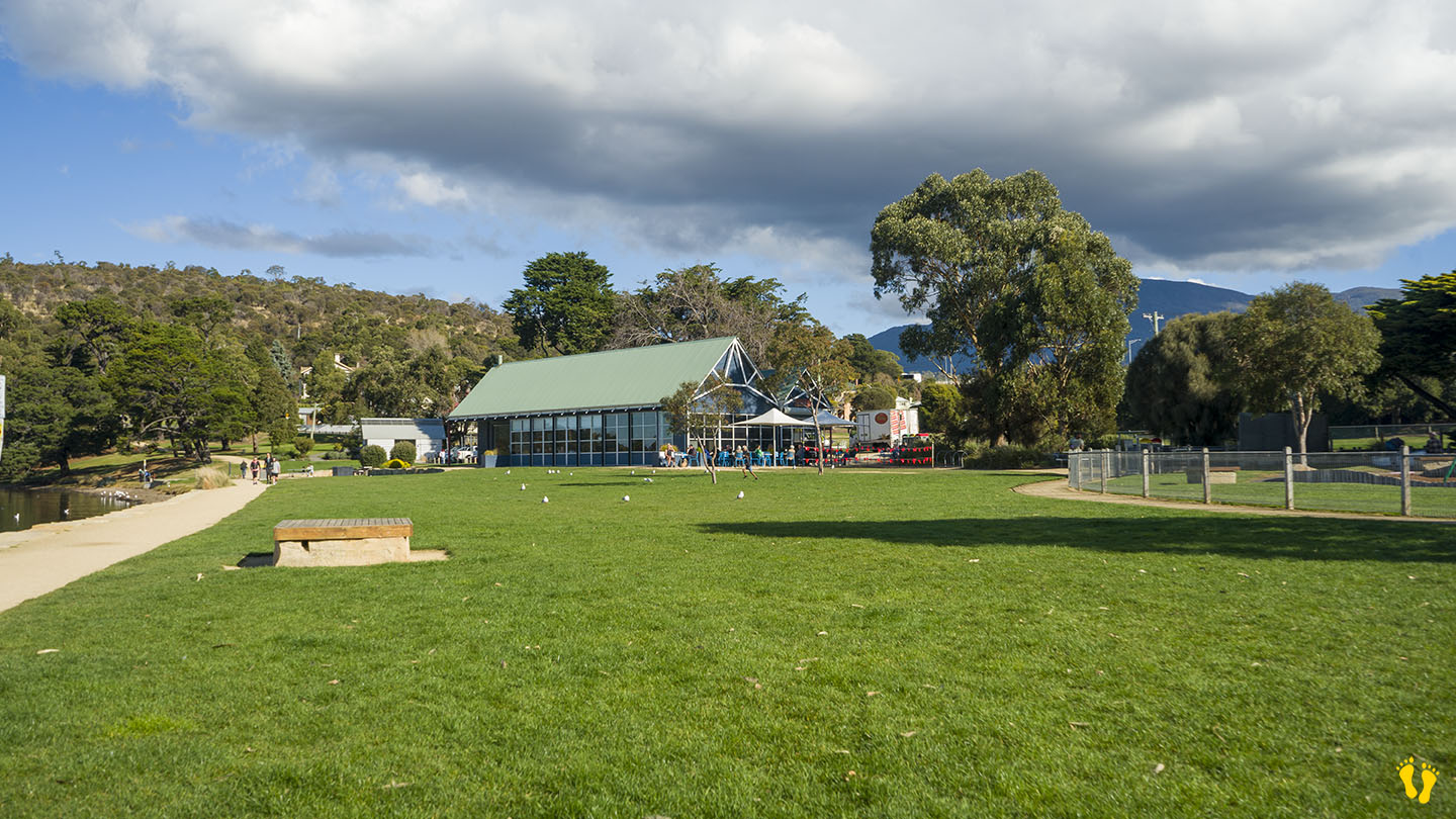
Cornelian Bay is close to Hobart with many attractions. While not recommended for swimming, it has great foreshore walks, an excellent playground, BBQ facilities and good amenities. It also backs onto an open oval for other activities. Great views of the bridge and river. Many birds often use the bay, including ducks and swans.
The Boathouse Restaurant and Kiosk have great meals and takeaways. Cornelian Bay is an ideal spot for a picnic with its large open grass areas.
Cornelian Bay was named by British navigator Lieutenant John Hayes in 1793. While exploring the Derwent River, Hayes came ashore and discovered numerous reddish, semi-precious carnelian stones (a variety of silica also called cornelian) on the beach, leading him to name the area after the gemstones.
Hazard Rating: 3/10 | Parking: Not good | from Hobart: 10 km | Faces: S\SE into the Derwent | Length: 250m
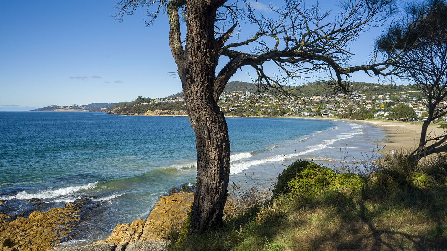
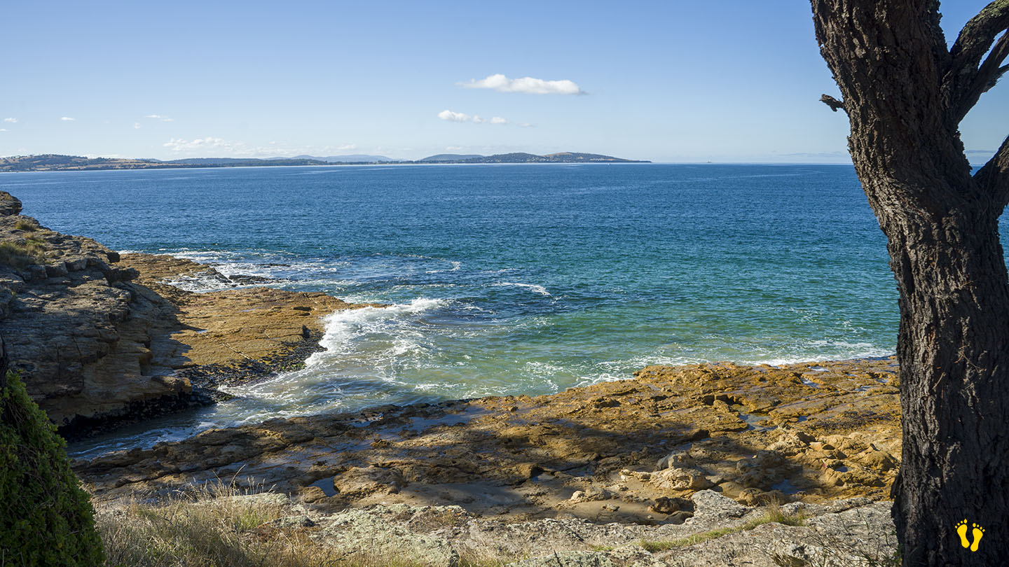
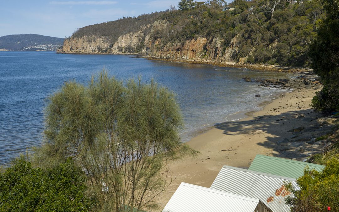
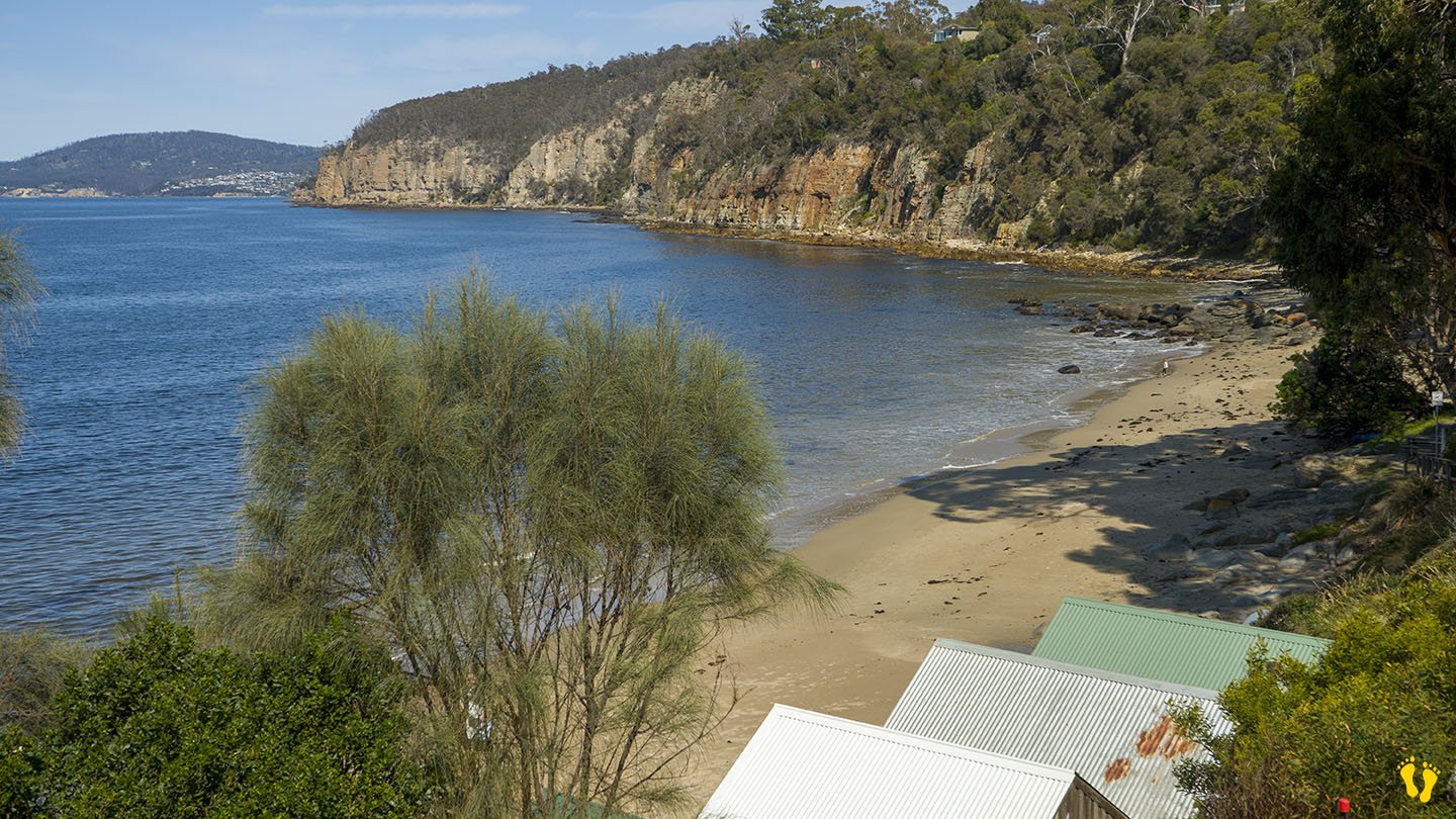
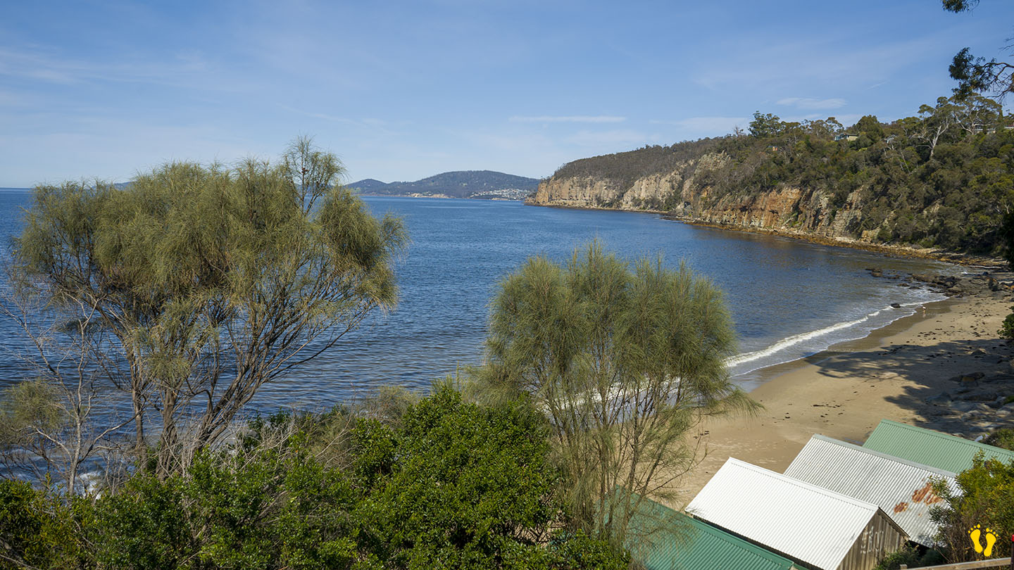
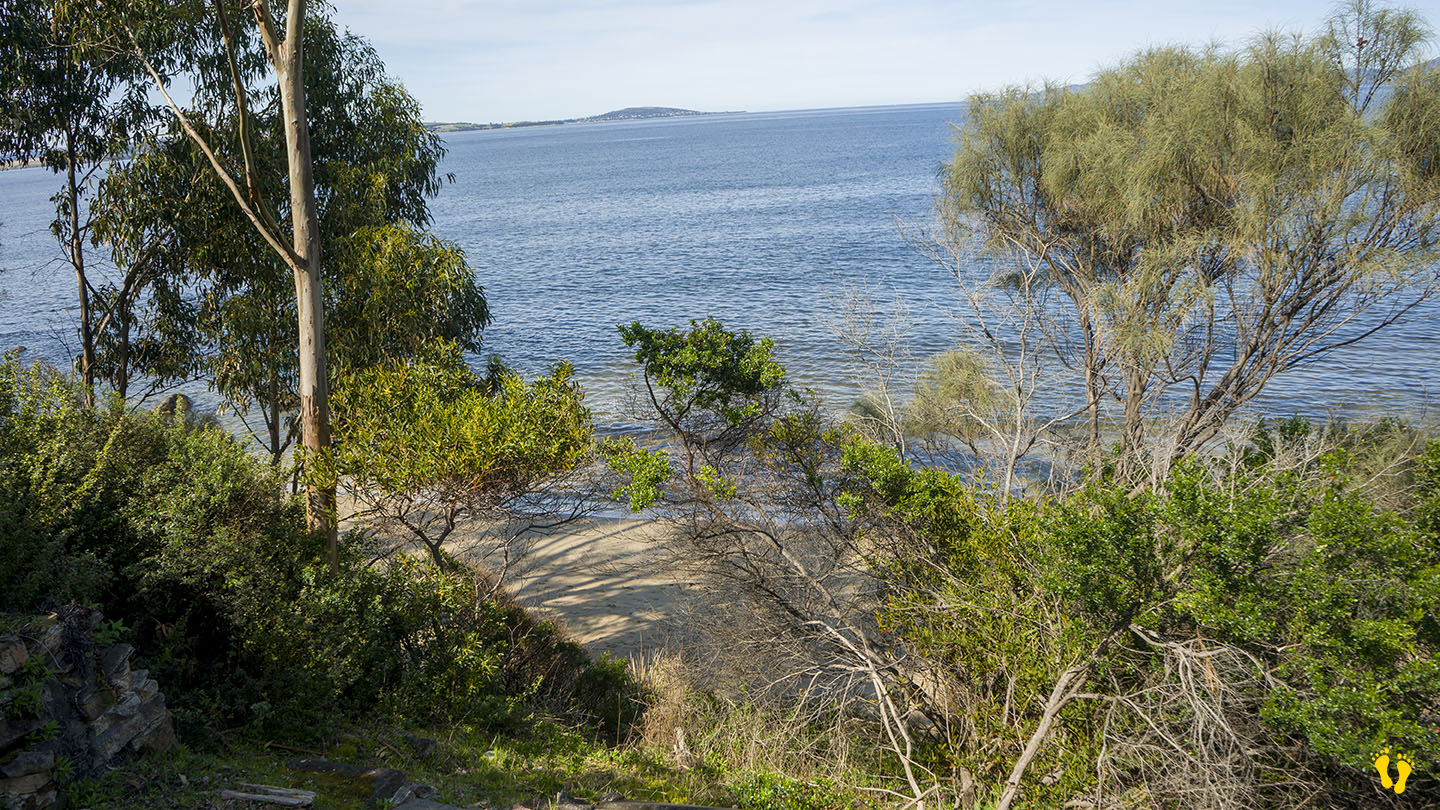
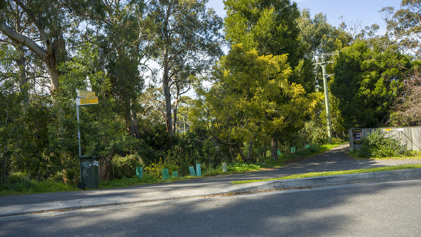
Hinsby Beach is in Taroona just south of Taroona Beach. Head down Hinsby Road (second street south past Taroona Crescent). The beach is separated from Taroona Beach by a small headland.
Parking is not great and beach access is via a walk about 100m down one of the 3 access points. Once there you will find a secluded interesting beach.
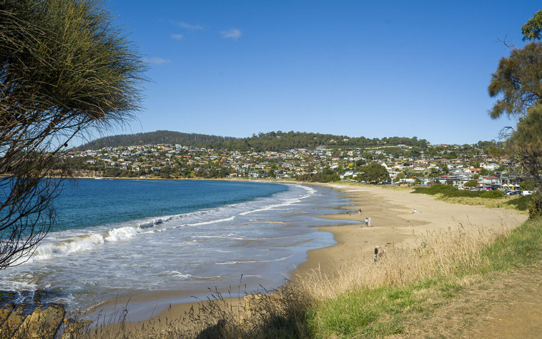
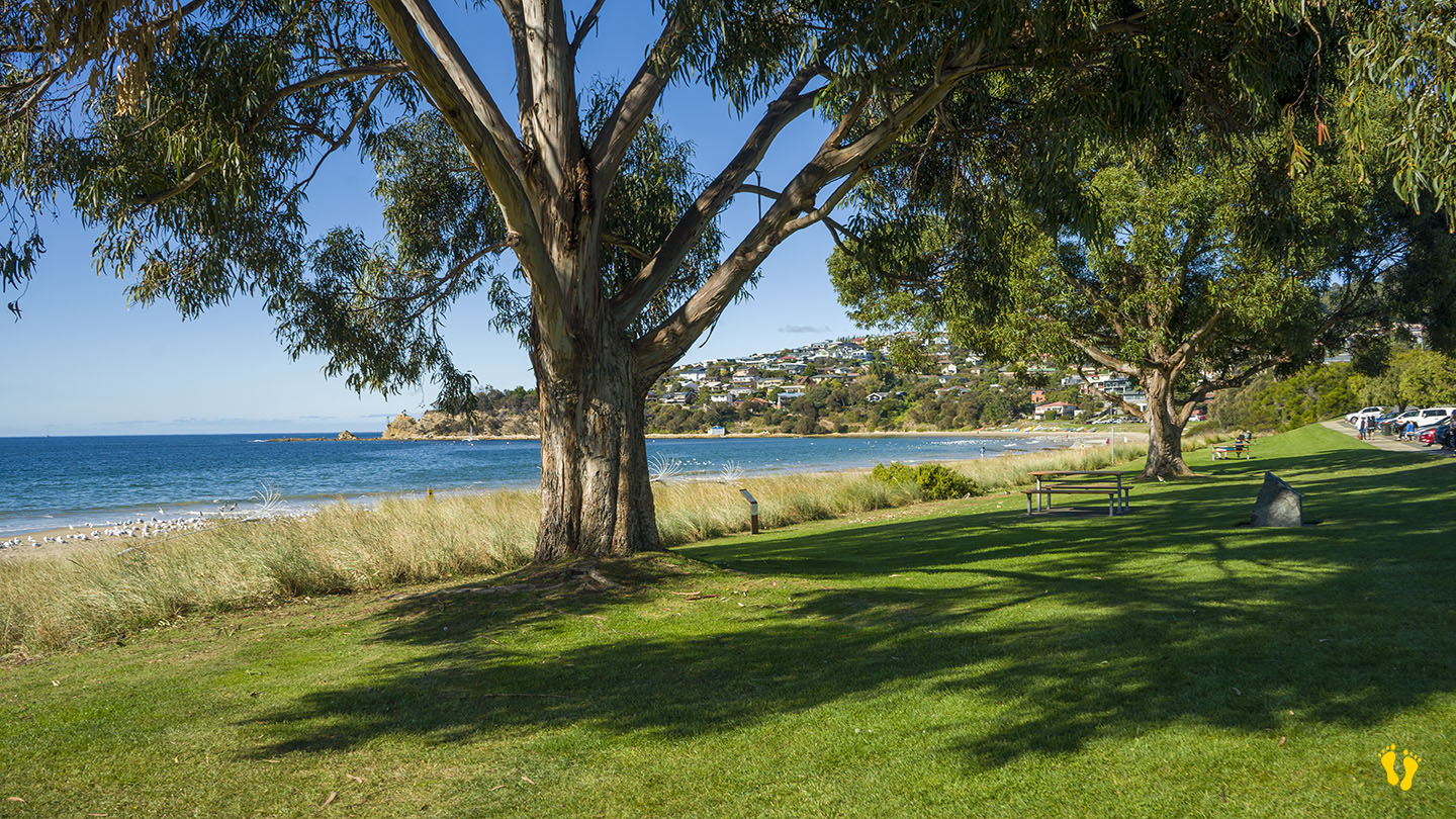
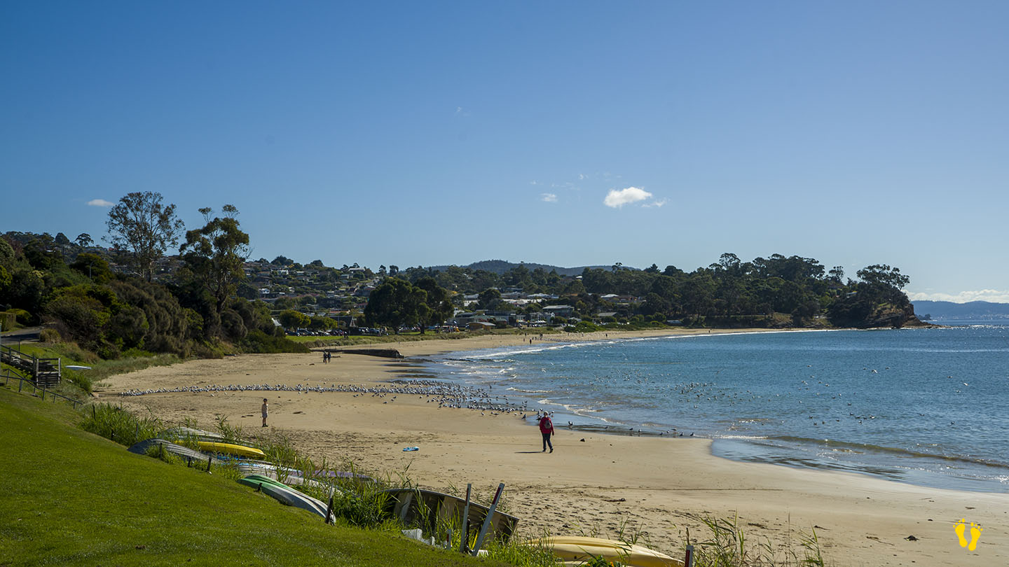
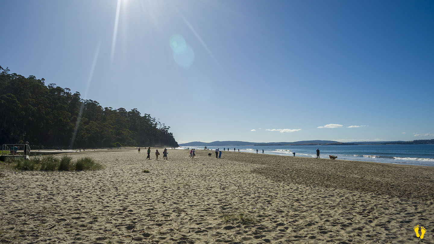
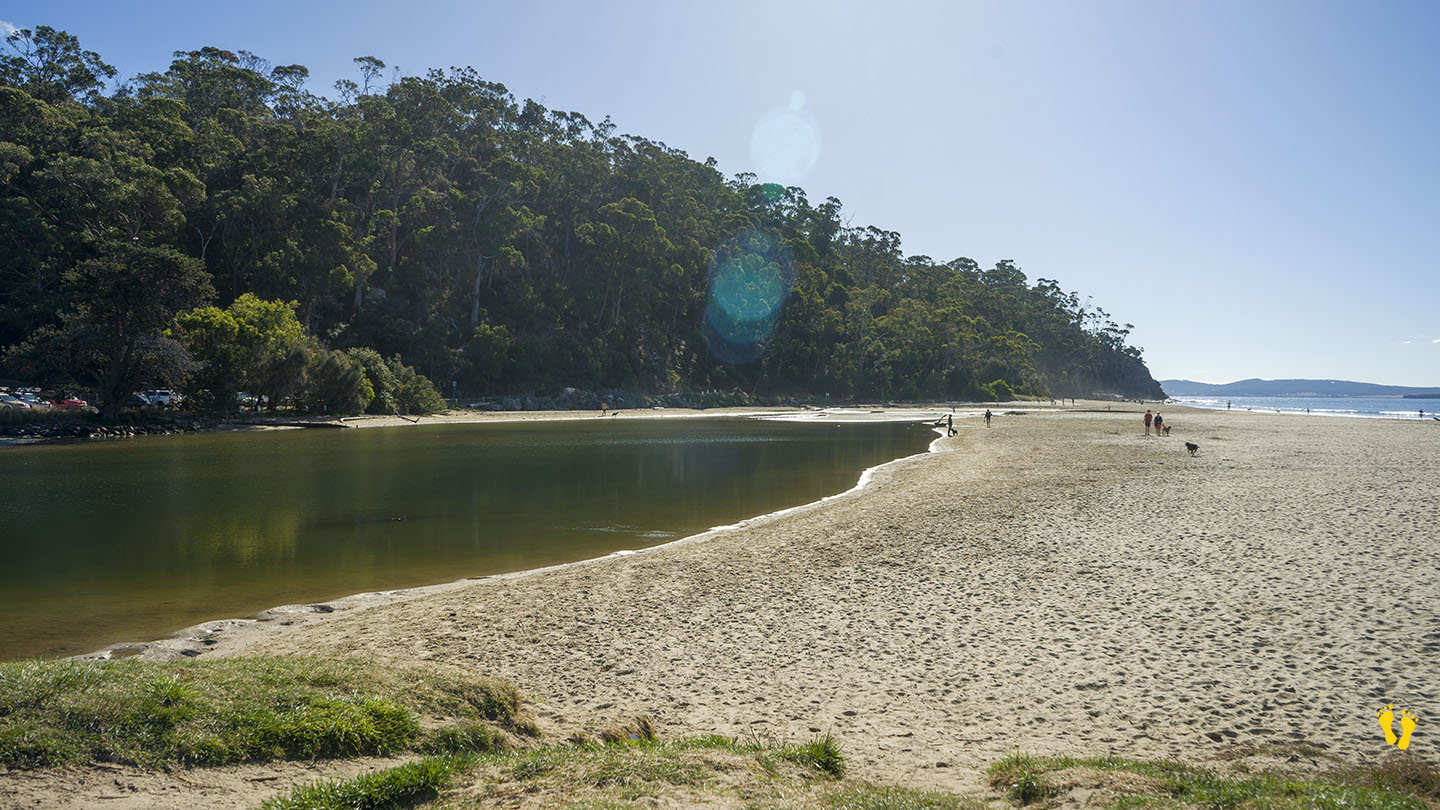
Hazard Rating: Low | Parking: Varied | from Hobart: 12 km | Faces: South into the River Derwent | Length: 1.2 km
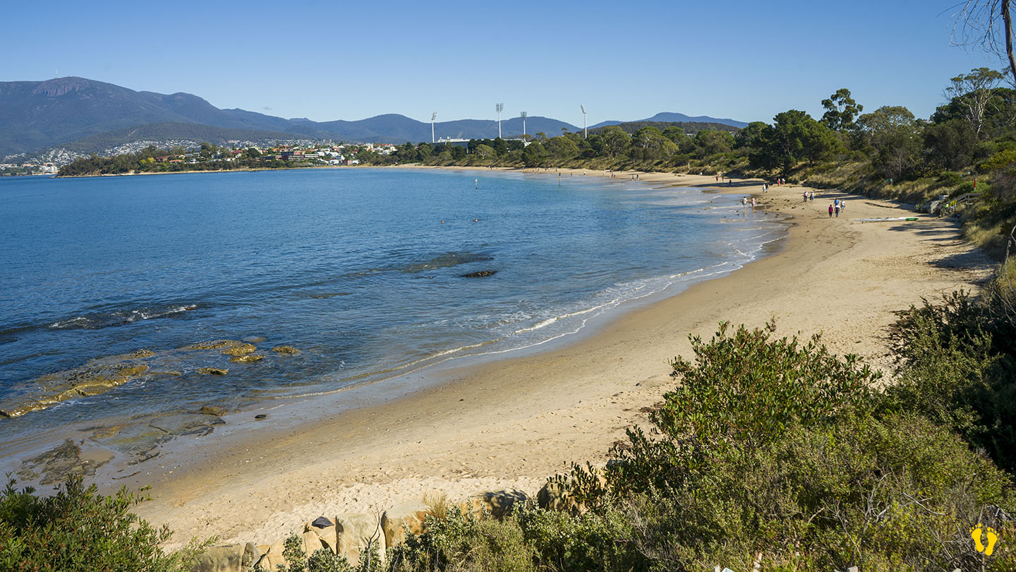
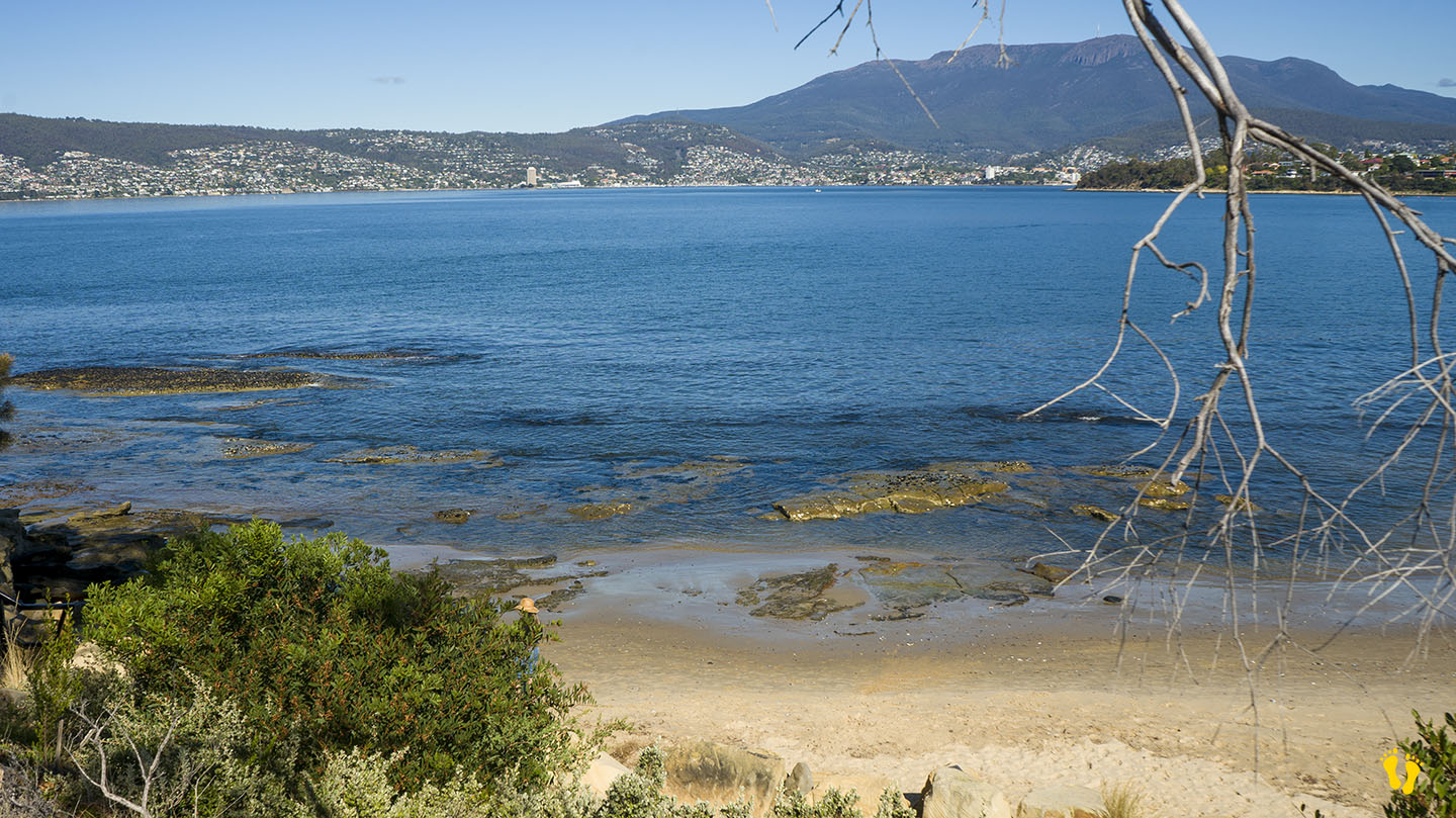
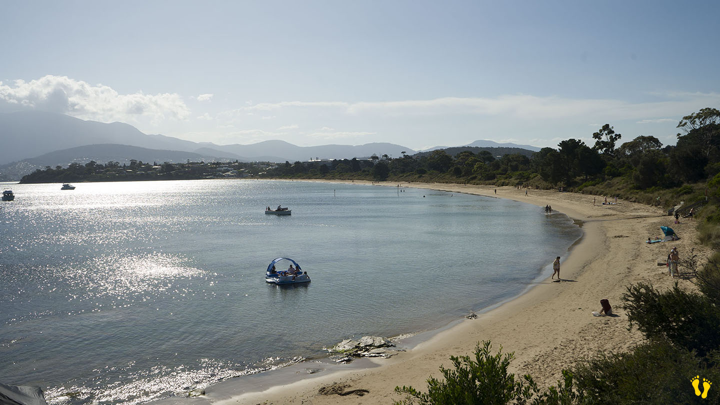
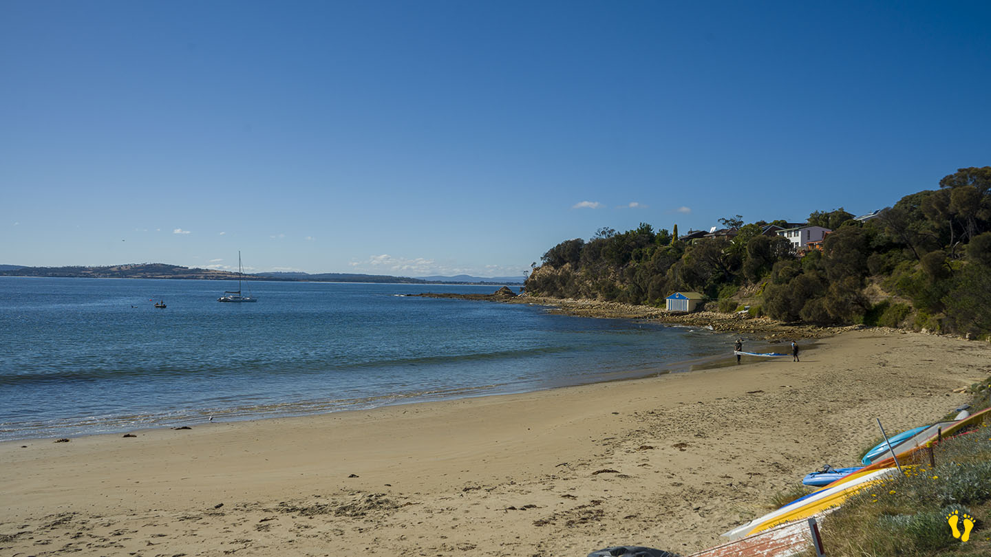
Howrah Beach is on the Eastern Shore near Hobart and is backed by Wentworth Park. The west end has interesting rock formations and is ideal for beginner snorkeling and kids to explore. This is one of my favourite Hobart beaches near Hobart. Take the cliff-top walk to Bellerive Beach west along Second Bluff track or even better the rocky shoreline walk to uncover interesting rock formations & caves. Exploring the foreshore gives you access to interesting geology formations, hidden caves, and glimpses into history.
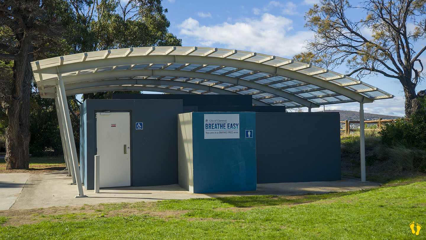
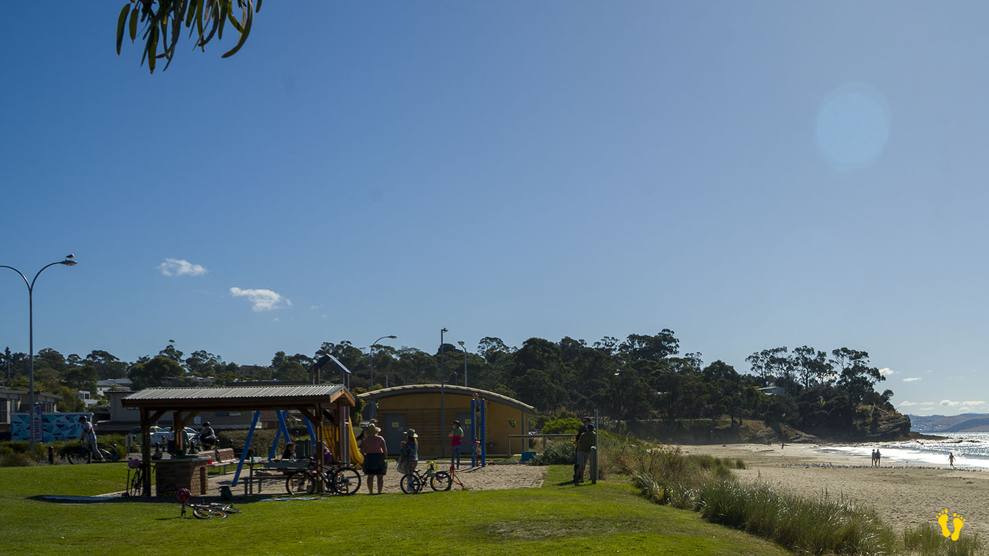
There is limited parking on each end of the beach plus access via Wentworth Park in the middle. Mid beach via Wentworth Park are toilets, BBQ area and a playground area about 100m from the beach.
Howrah-Bellerive beaches are part of the foreshore trail. Wentworth Park was once a wetland filled in to create the park area. Named after ‘Howrah House’ a home built by an Indian Army officer in 1830, Howrah is near Calcutta in India and means swampy lake! Little Howrah Beach is a short distance to the south.