by Mickey Jarvis | Nov 13, 2024 | Bruny Island
Bruny Island | Hazard Rating: 2-3/10 | Parking: Good + close | Faces: South East into Adventure Bay | Length: 3 km
Original People: Nuenonne | Original Name: lunawannalonna (Bruny Island).
Information and review
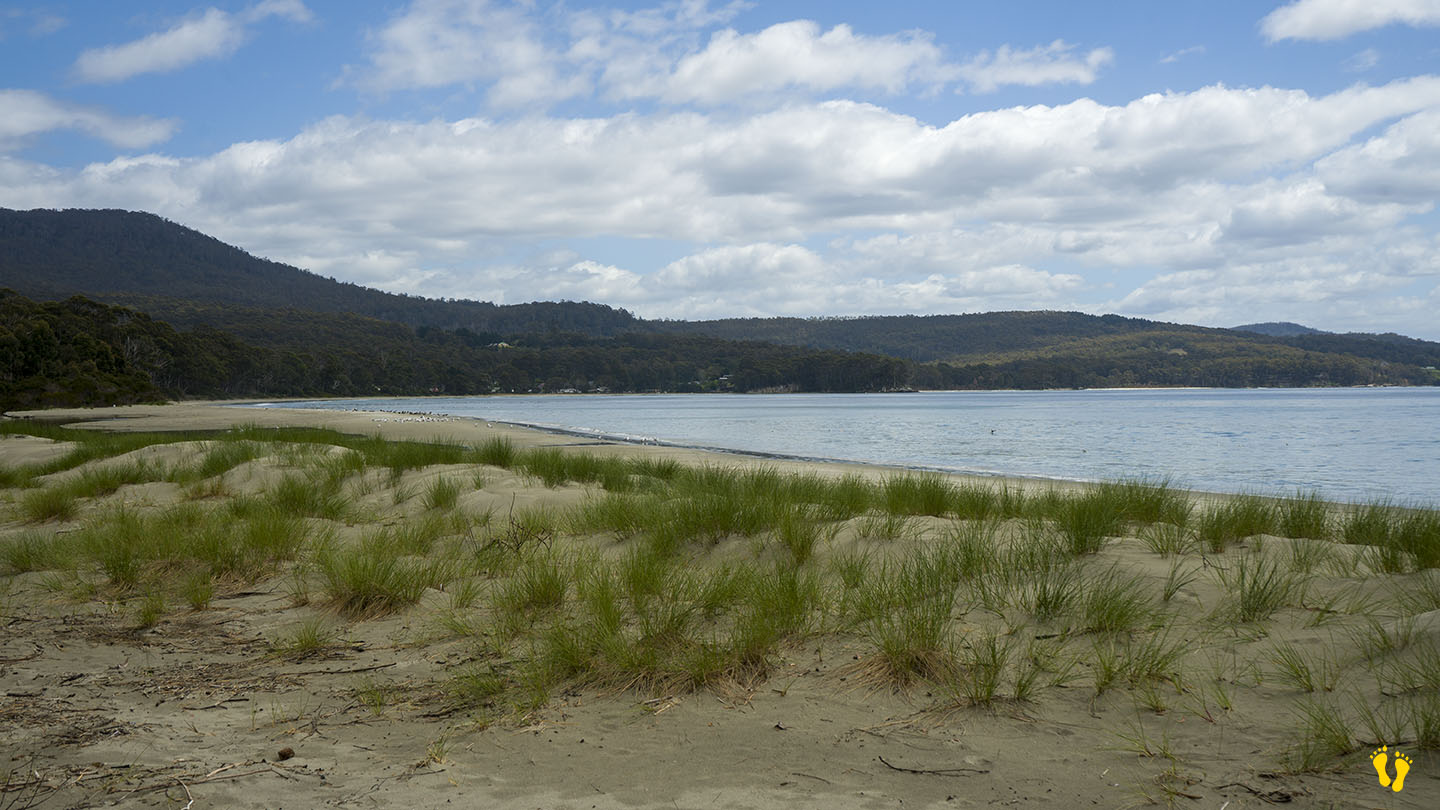
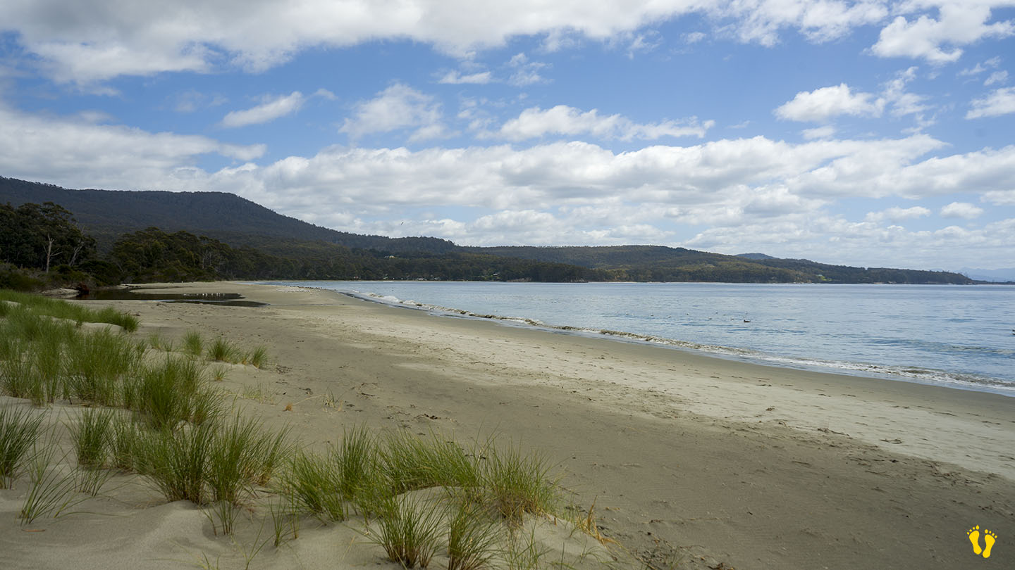
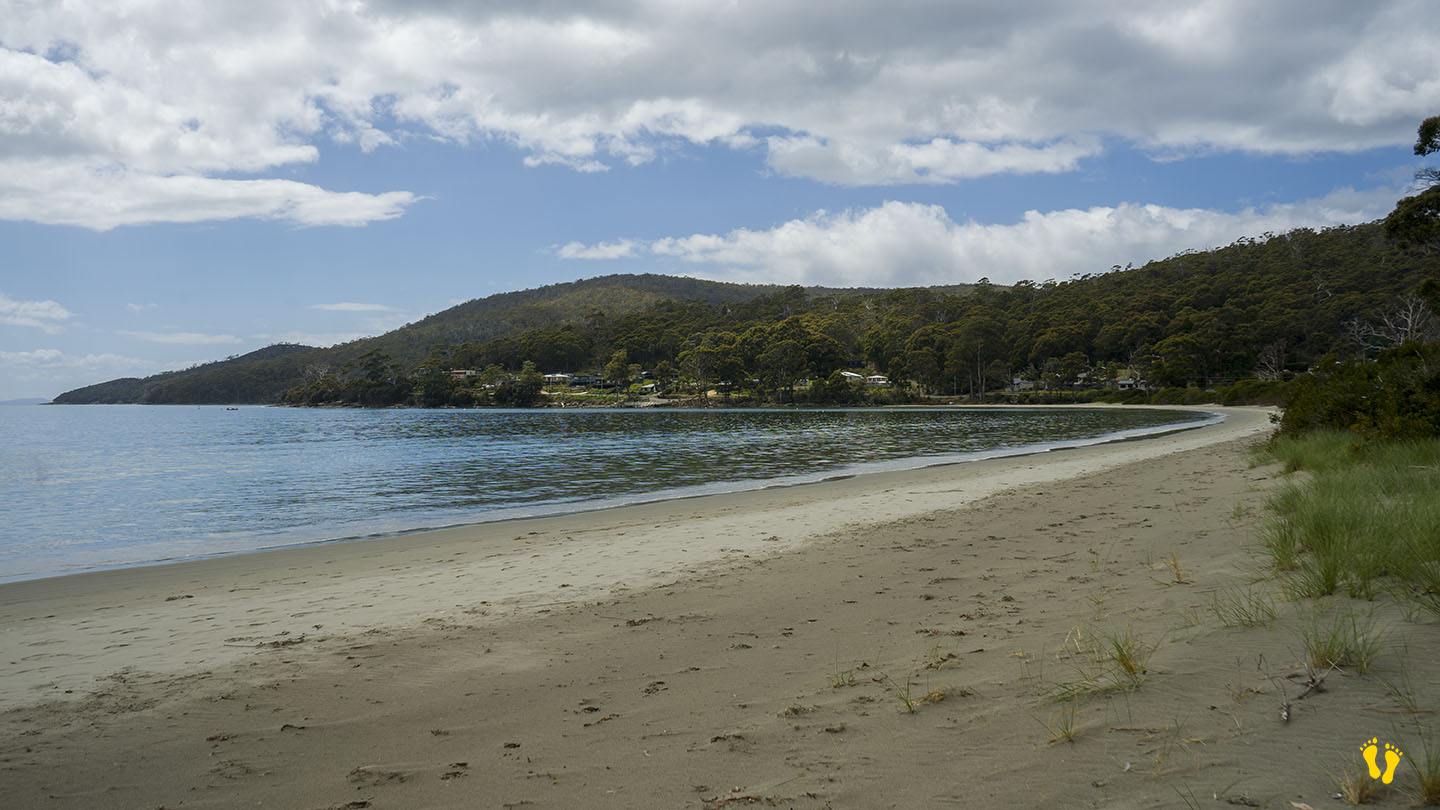
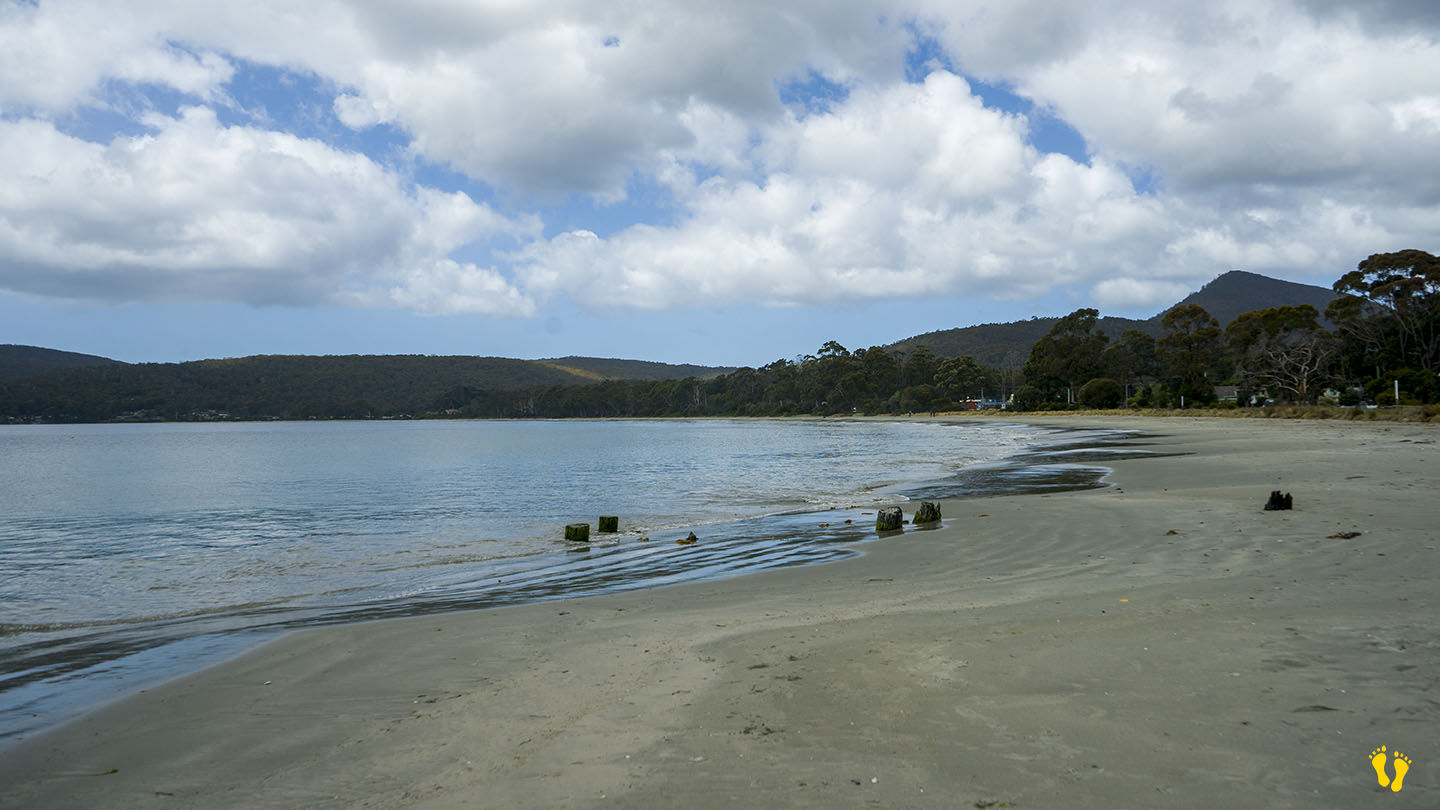
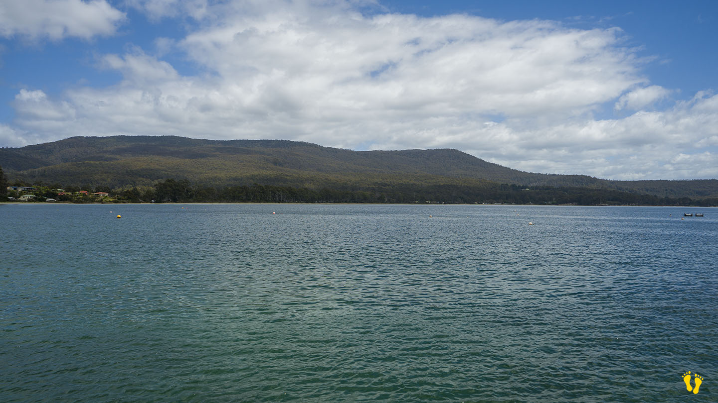
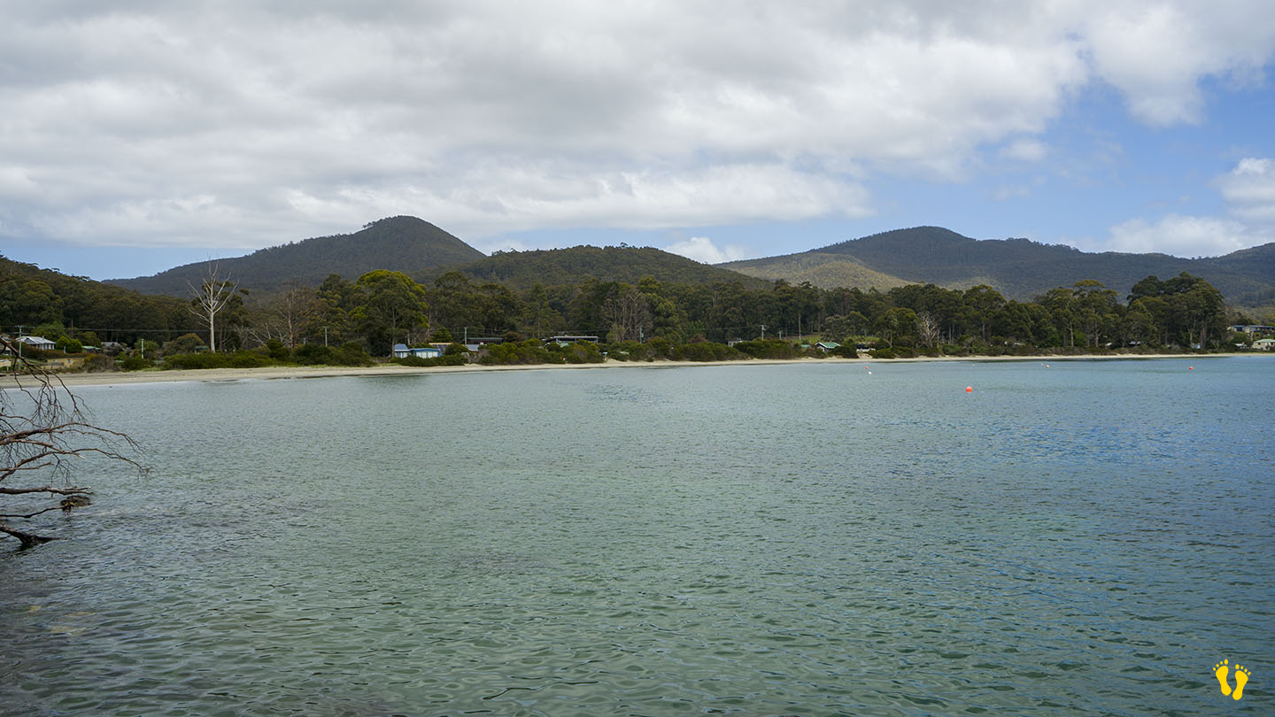
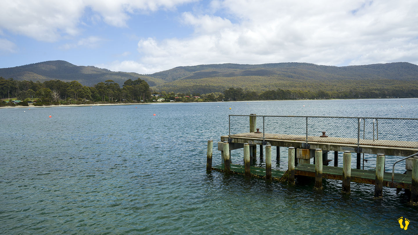
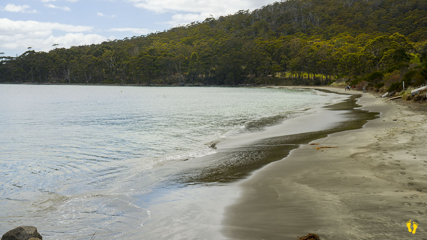
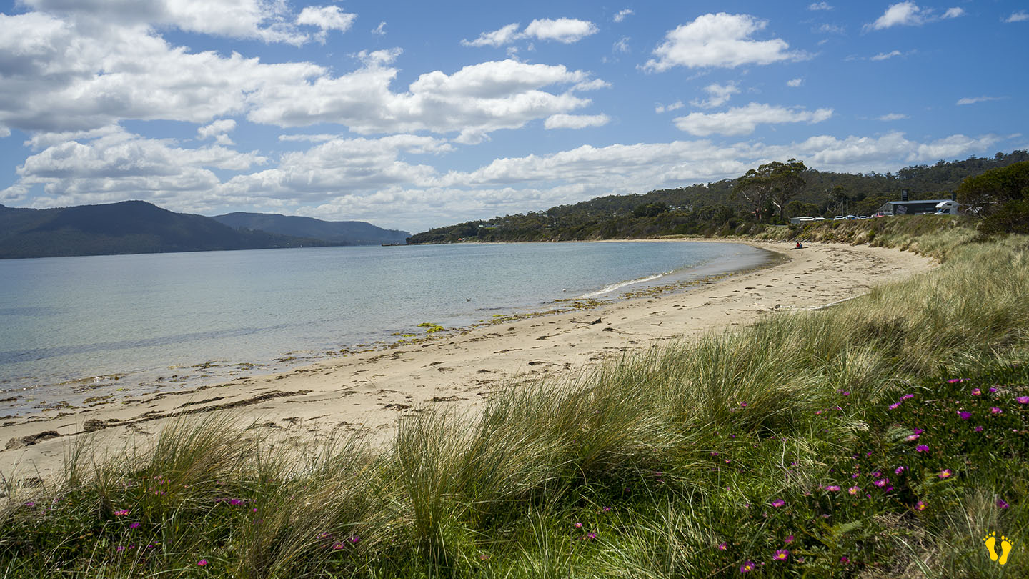
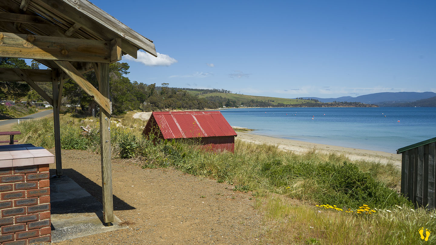
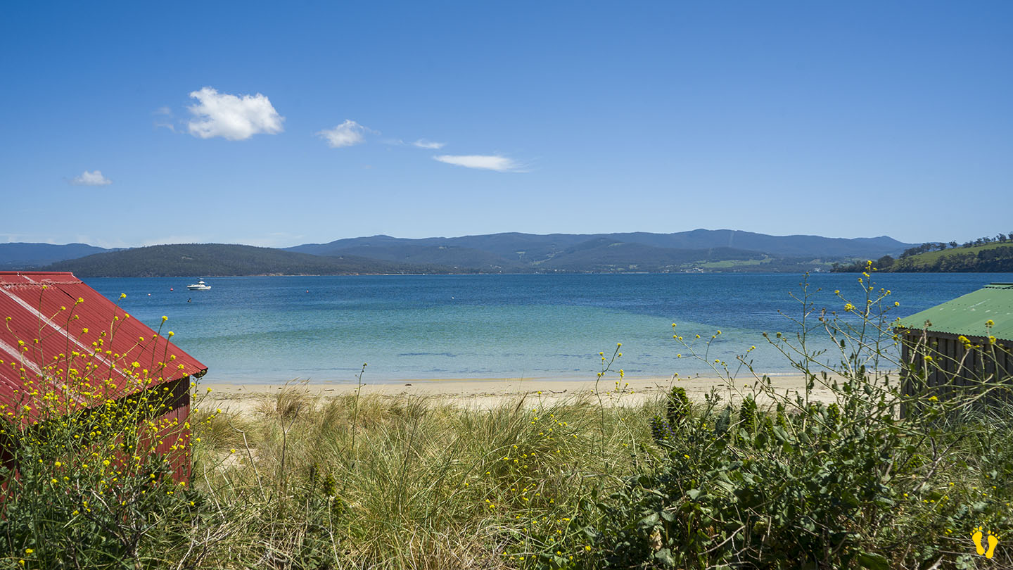
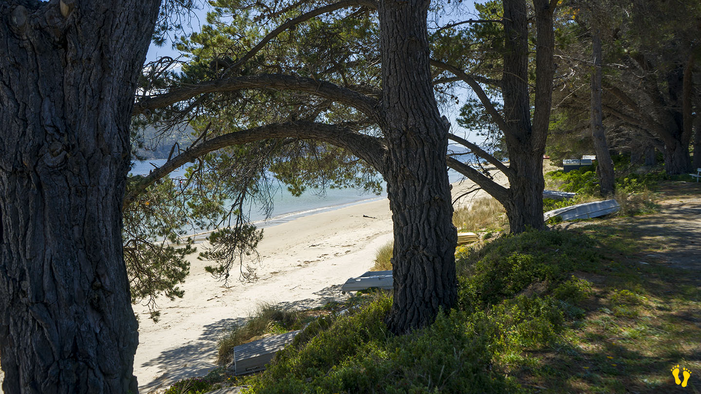
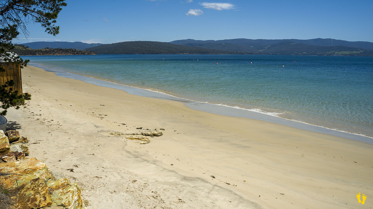
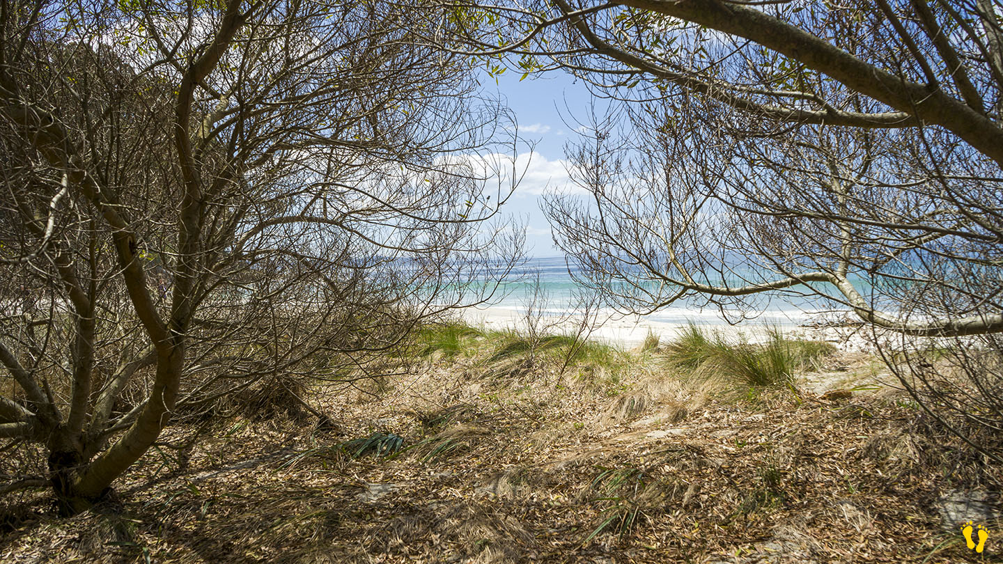
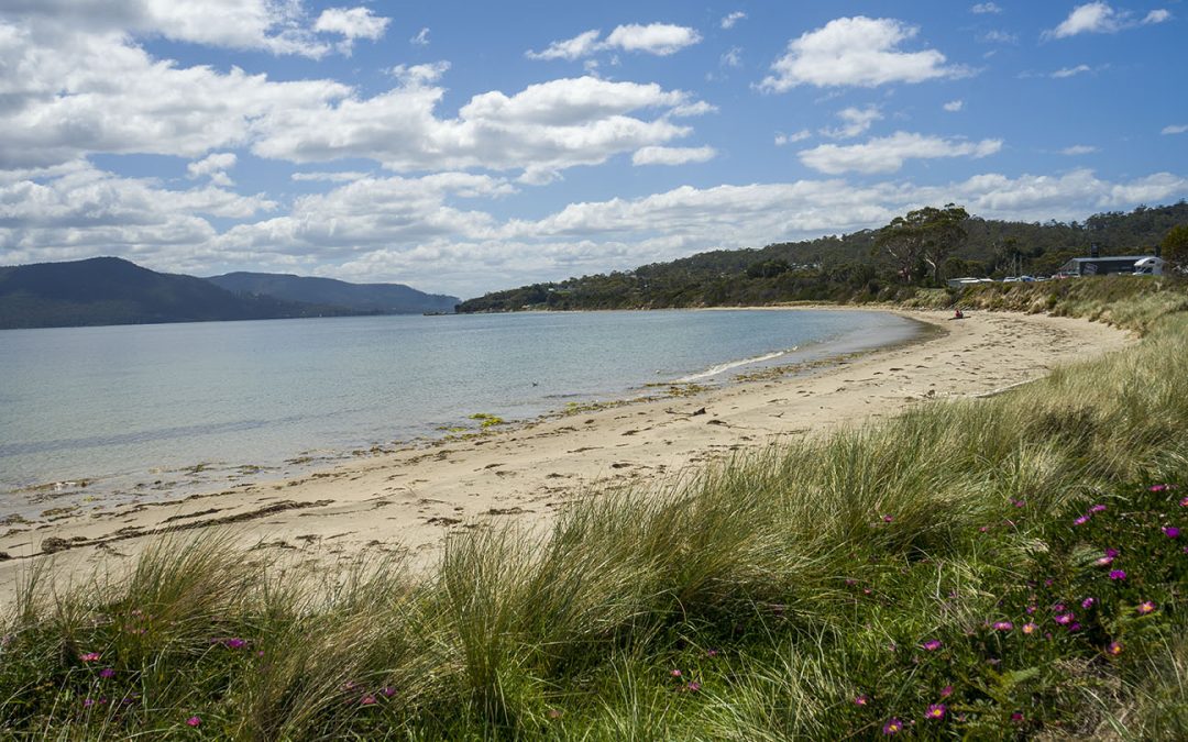
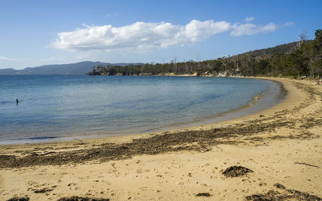
Adventure Bay Beach on the east coast of Bruny Island is an incredible beach that has won many top awards. You can swim, paddle, walk and fish at a beach with spectacular views and many access points along its length (with parking).
At the north end is ‘Quiet Corner’, a popular part of the beach with its own small protected beach hidden away and often used by locals.
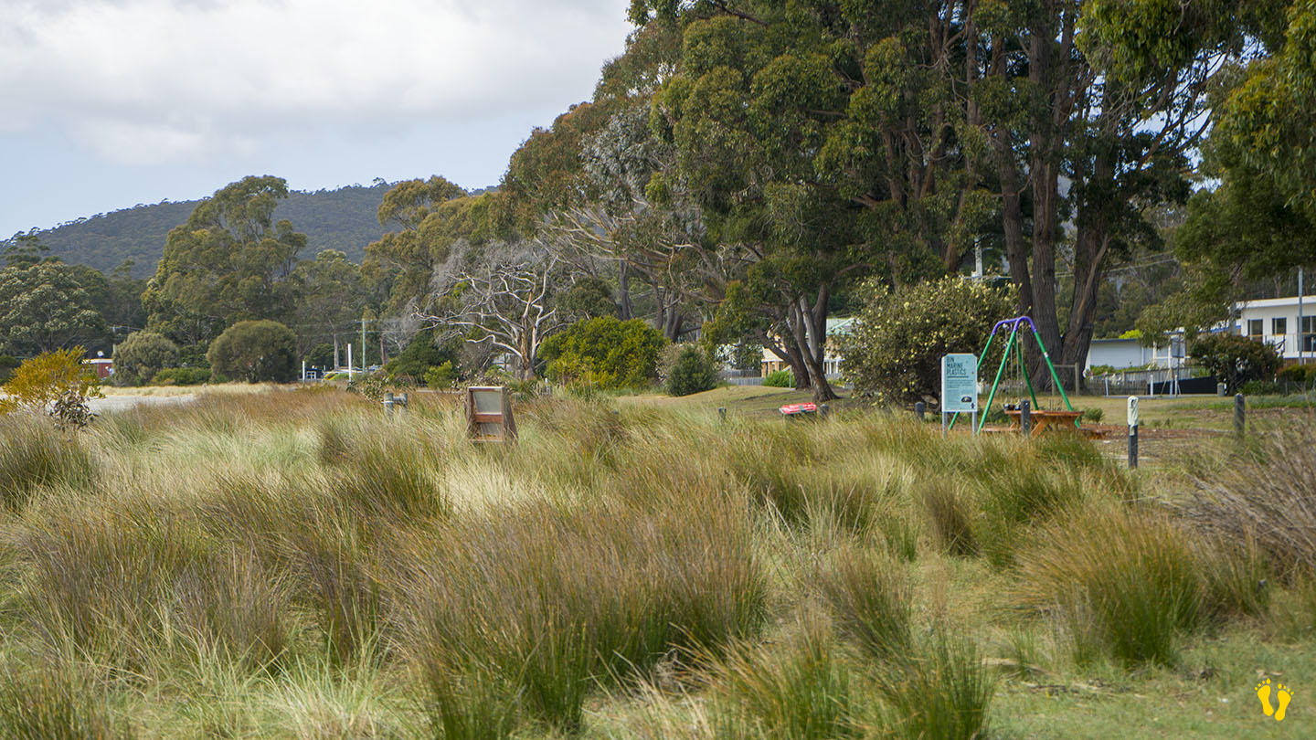
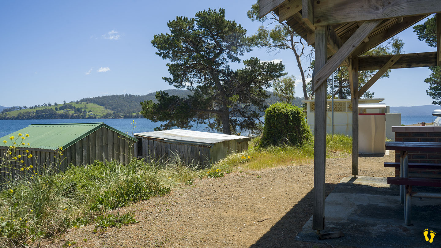
A shop, eating places, toilets and BBQ are situated mid-beach.
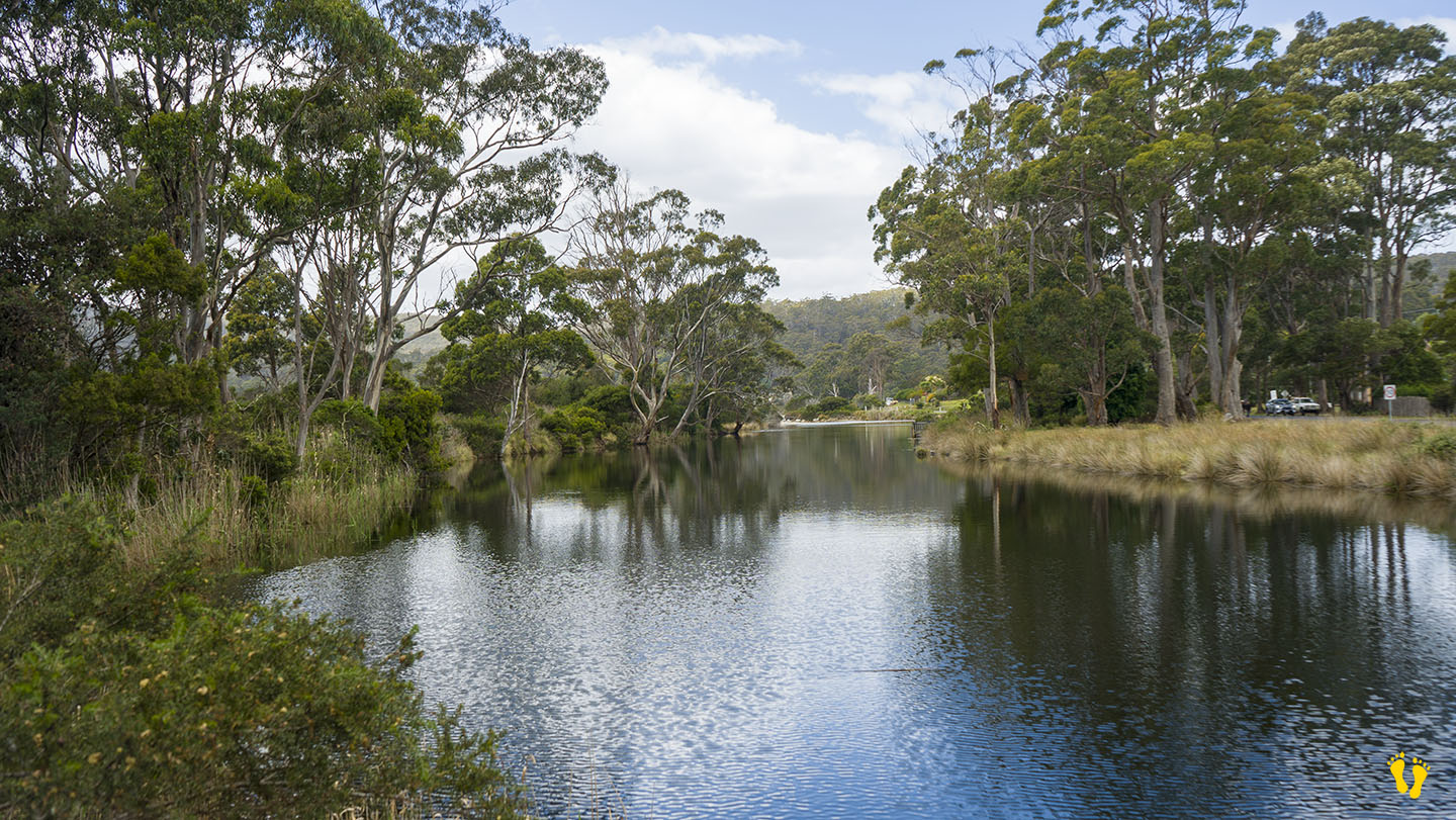
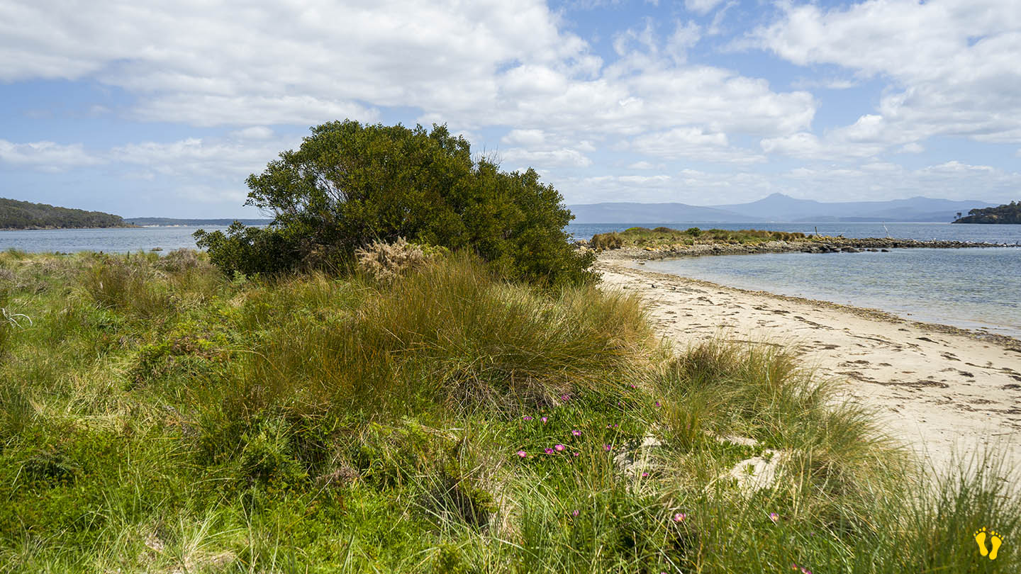
Further south is a freshwater creek (Captain Cook Creek) that feeds into the beach and is good for swimming and fishing. Captain Cook Holiday Park which has cabins, caravans and camping and is near the beach on the opposite side of the road. Don’t forget the Raspberry Farm open in season.
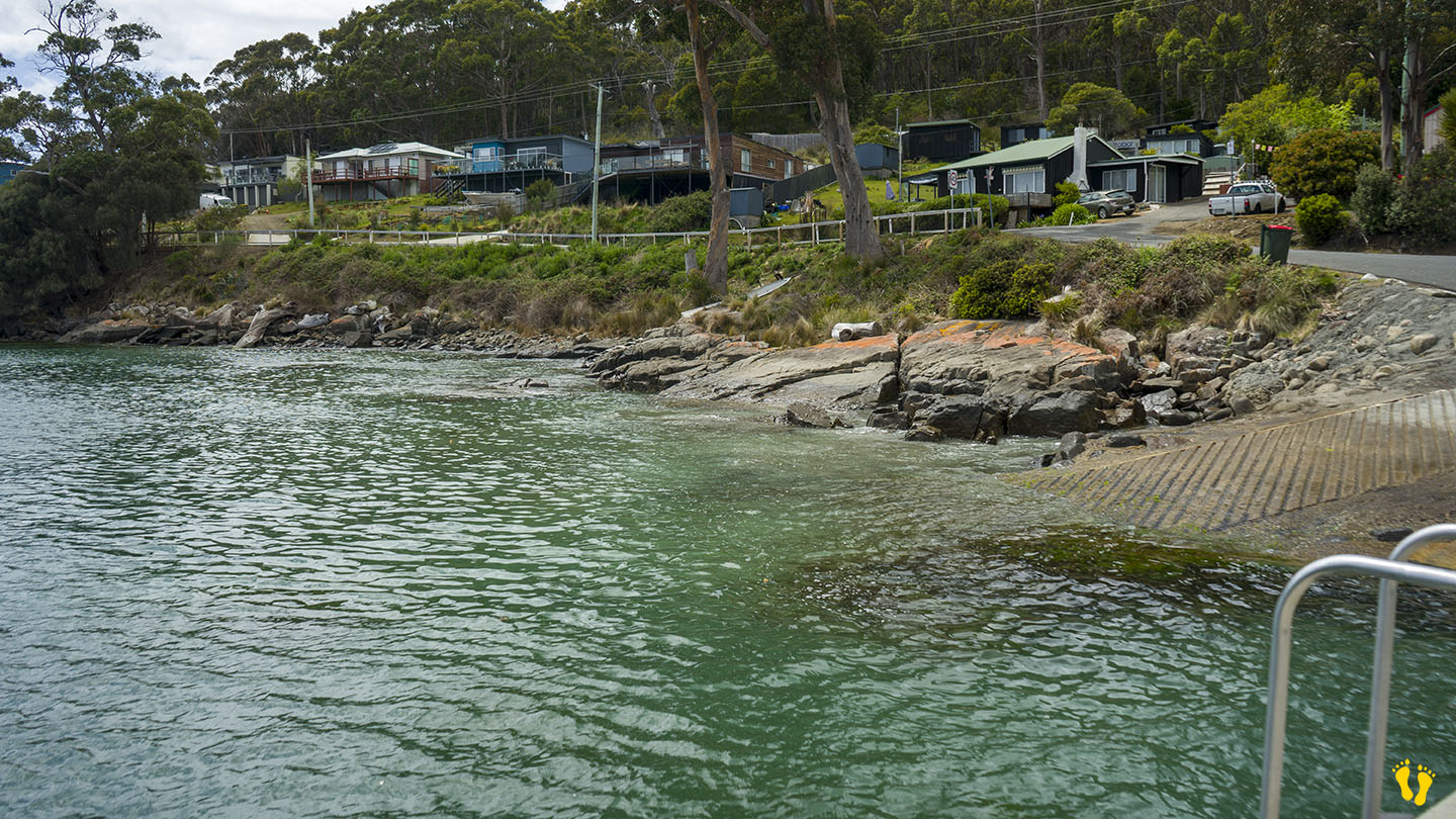
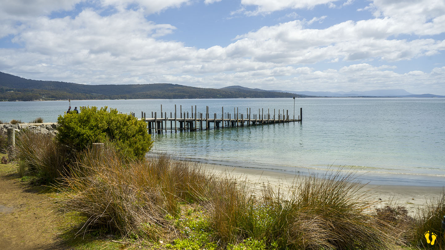
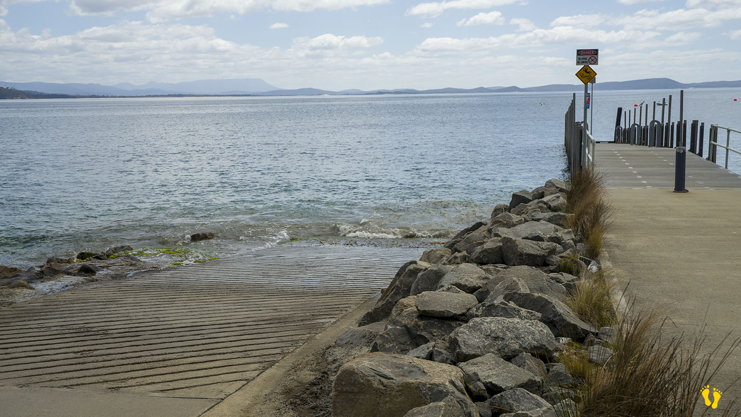
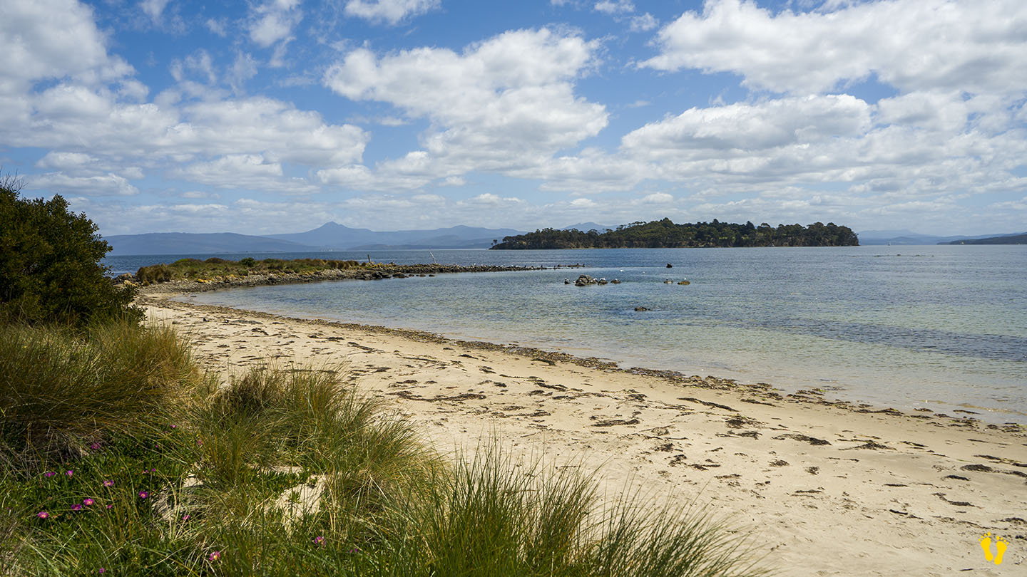
A jetty at the south end is popular for fishing and boat access. Further east is another small beach which seems to have no name but also has a boat ramp, a small private beach and Pennicott Tours for incredible boat tours.
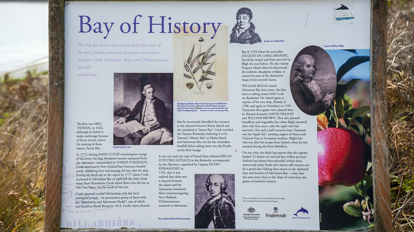
Originally named by European explorer Abel Tasman in 1642 as Storm Bay, later renamed by Captain Tobias Furneaux in March 1773 in honour of his ship HMS Adventure. Cook later anchored there in 1777.
Having spent a lot of time here I can say it is an ideal beach and area to spend time at – steeped in history and not too commercial, mind you everything is named Cook something even though he was not the first, or second or …?
Named as the 5th best beach in Australia in 2023 by Tourism Australia.
by Mickey Jarvis | Nov 24, 2024 | Bruny Island, Low Hazard
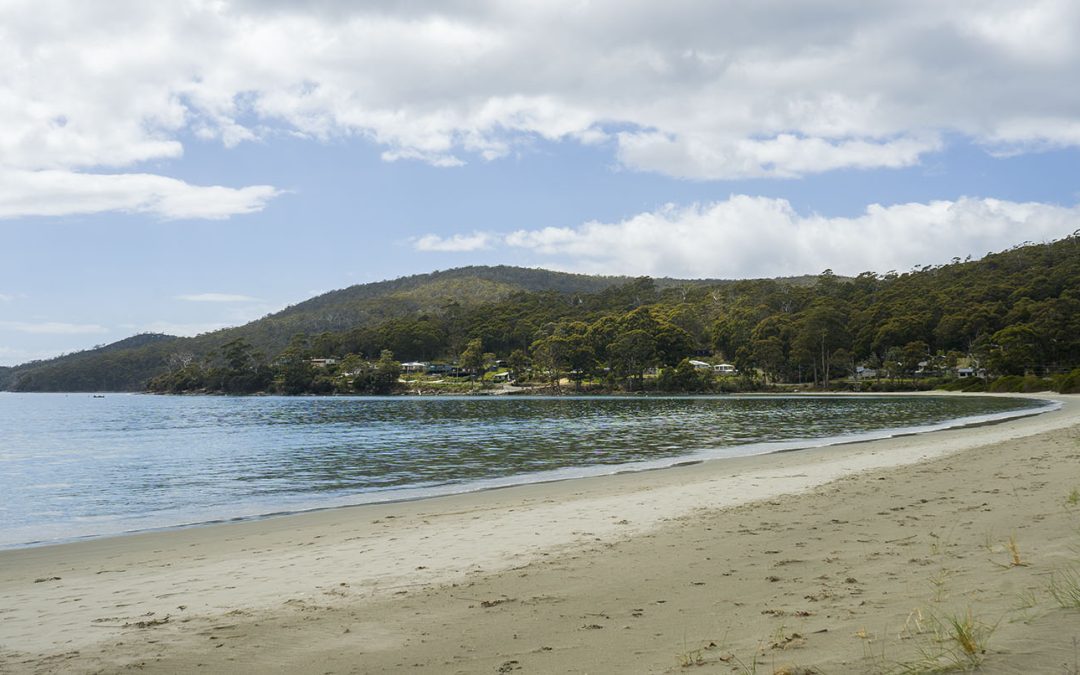
Bruny Island | Hazard Rating: 2/10 | Parking: Good + close | Faces: West | Length: 1.1 km
Original People: Nuenonne | Original Name: lunawannalonna (Bruny Island)
Information and review
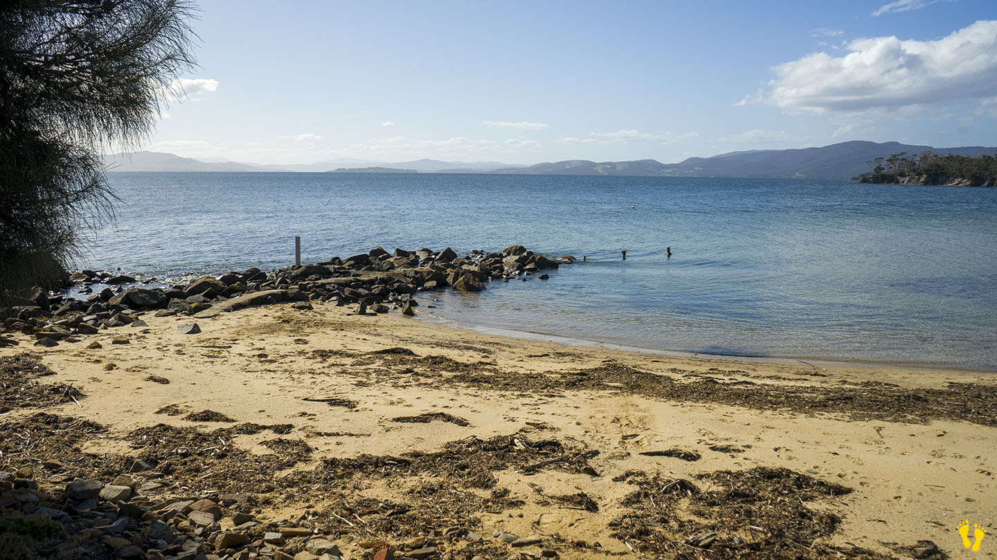
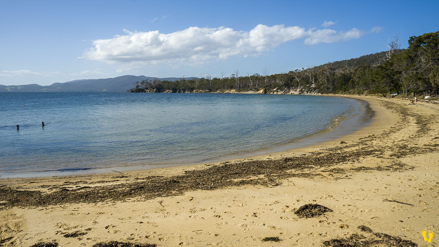
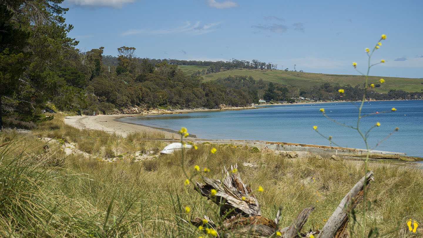
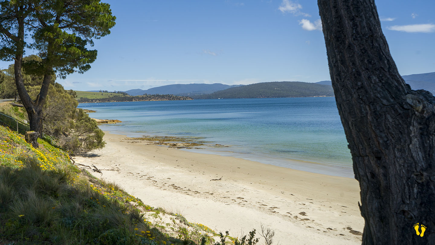
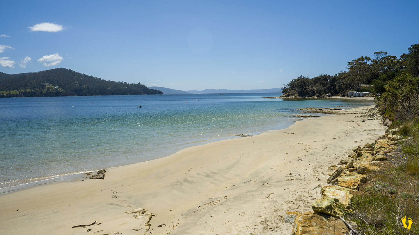
Alonnah Beach is situated close to Bruny Island Main Road. This is a beach you could swim and spend time at – but there are better choices not far away – e.g. Adventure Bay. A small car park at Reef Track on the south end is the best place for access. The name comes from part of the Aboriginal name for Bruny Island – lunawannalonna.
Close to shops, Hotel Bruny and other facilities. Views of Satellite Island.
by Mickey Jarvis | Nov 24, 2024 | Bruny Island, Low Hazard
Bruny Island | Hazard Rating: 1/10 | Parking: Good + close | Faces: West-ish into Little Taylor Bay | Length: 500 m
Original People: Nuenonne | Original Name: lunawannalonna (Bruny Island)
A small safe generally unknown beach about 3 km north of Lunawanna that is protected and great for families with small kids.
Named after a small cemetery at the end of the road – access via Cemetary Road just north of Lunawanna.

by Mickey Jarvis | Nov 11, 2024 | Bruny Island, Surf
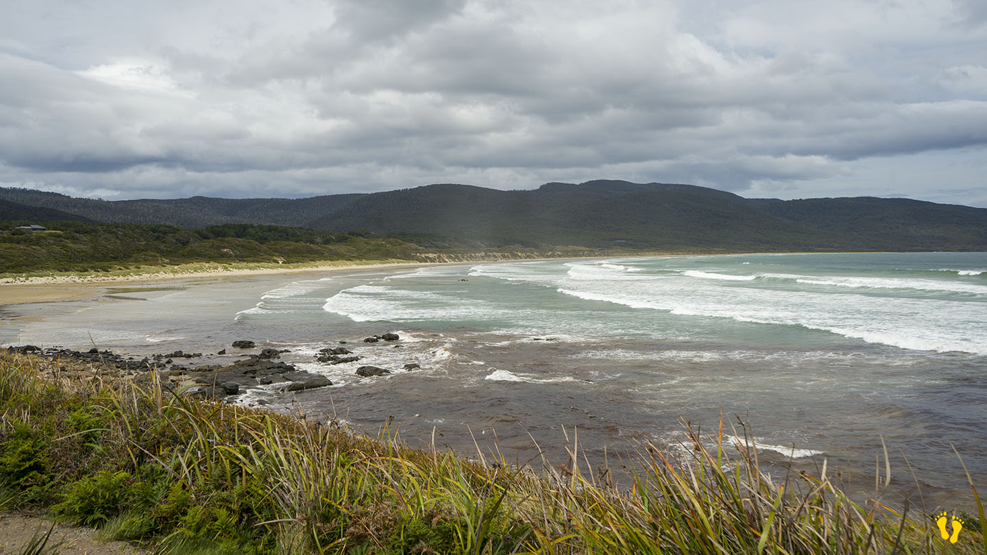
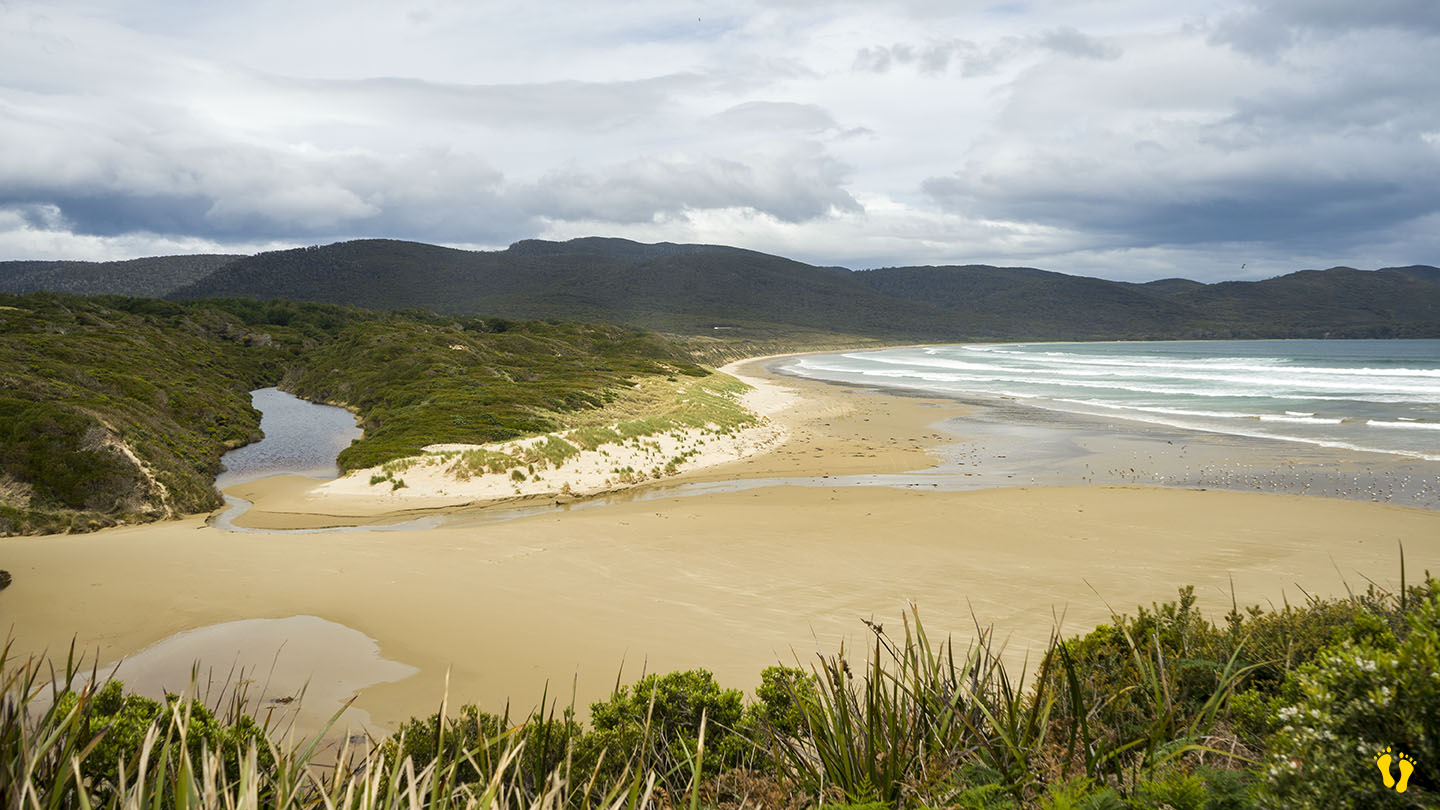
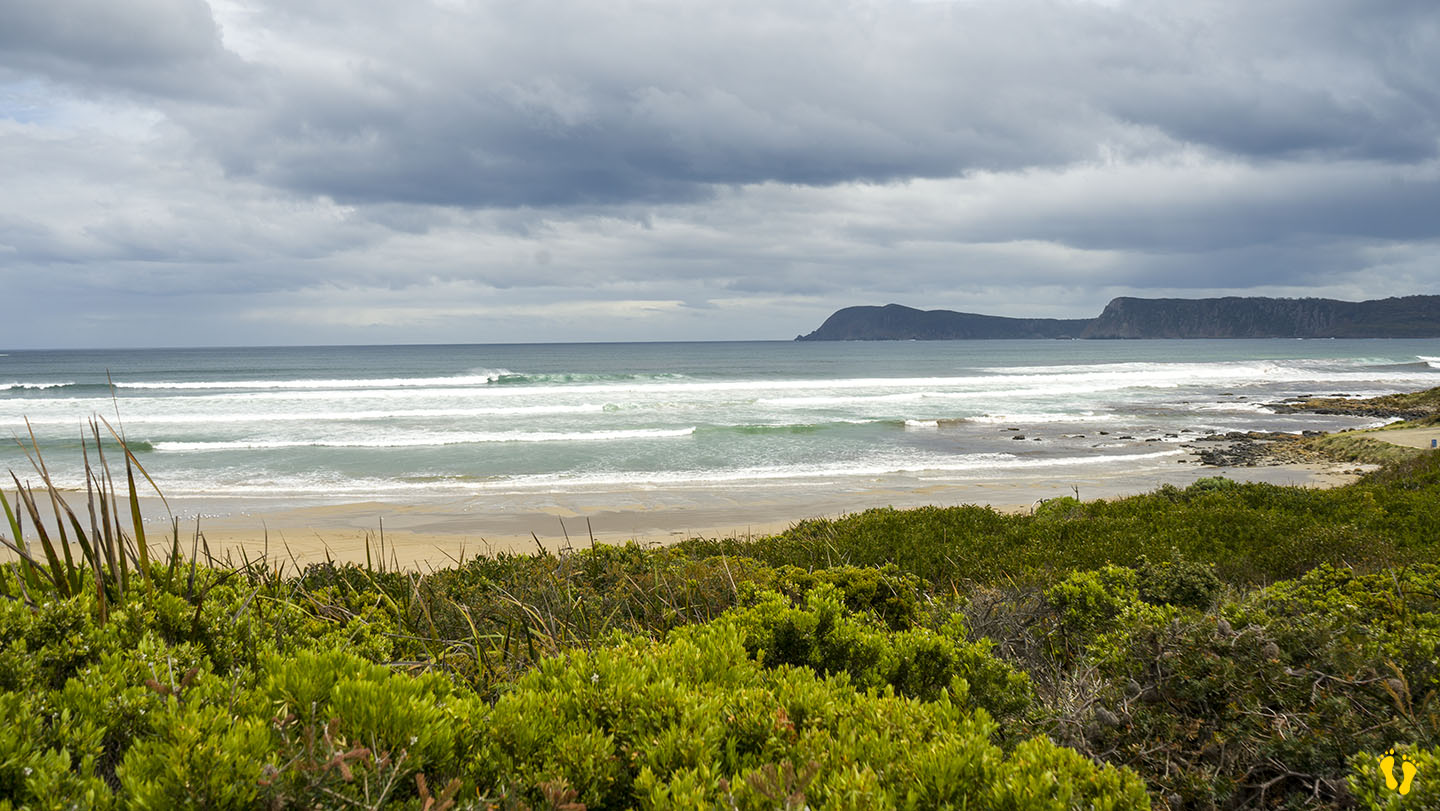
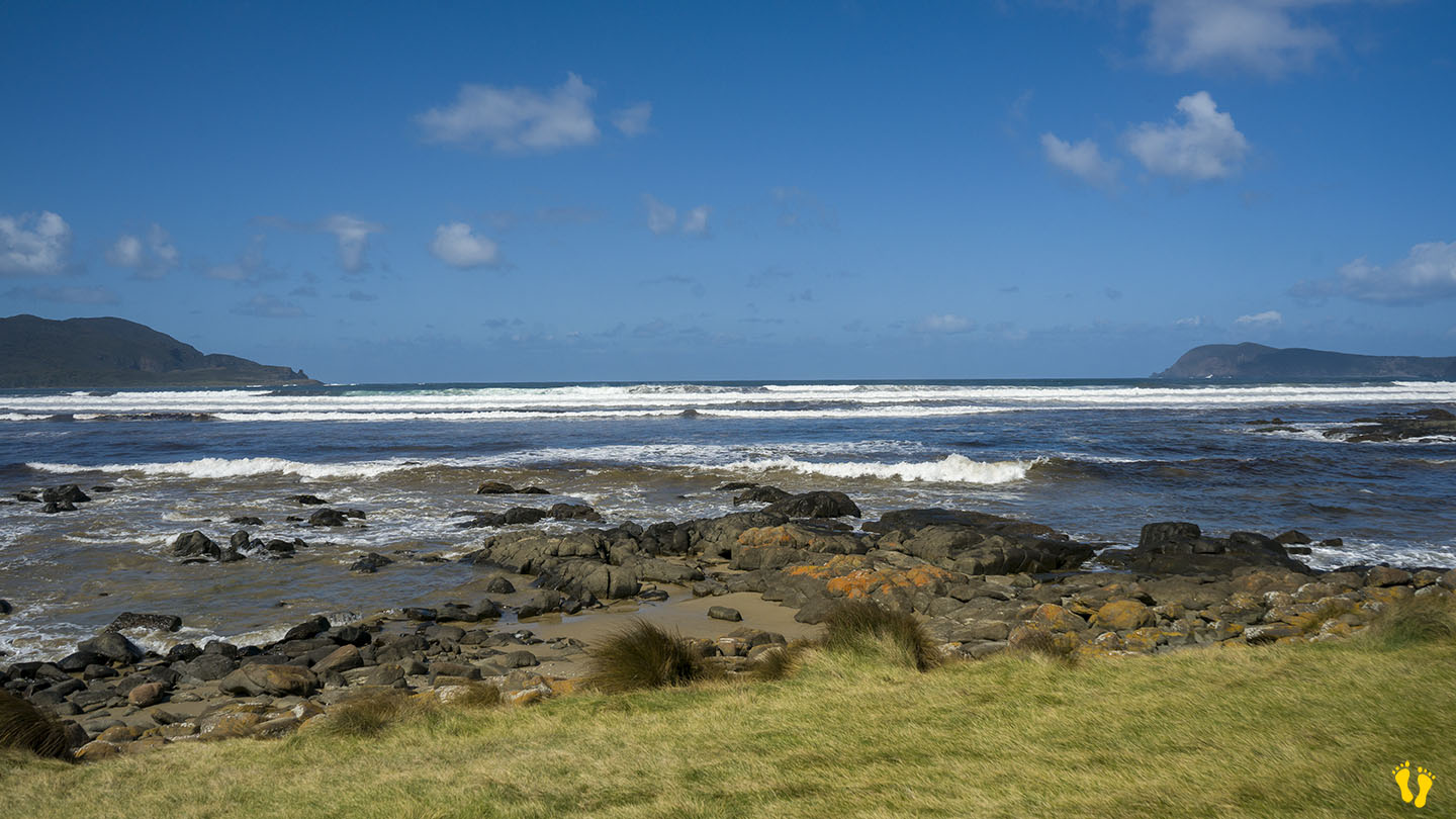
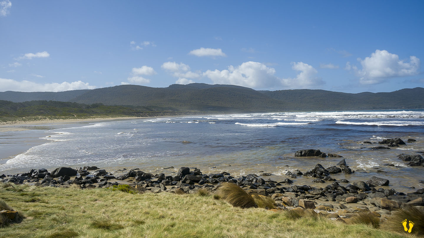
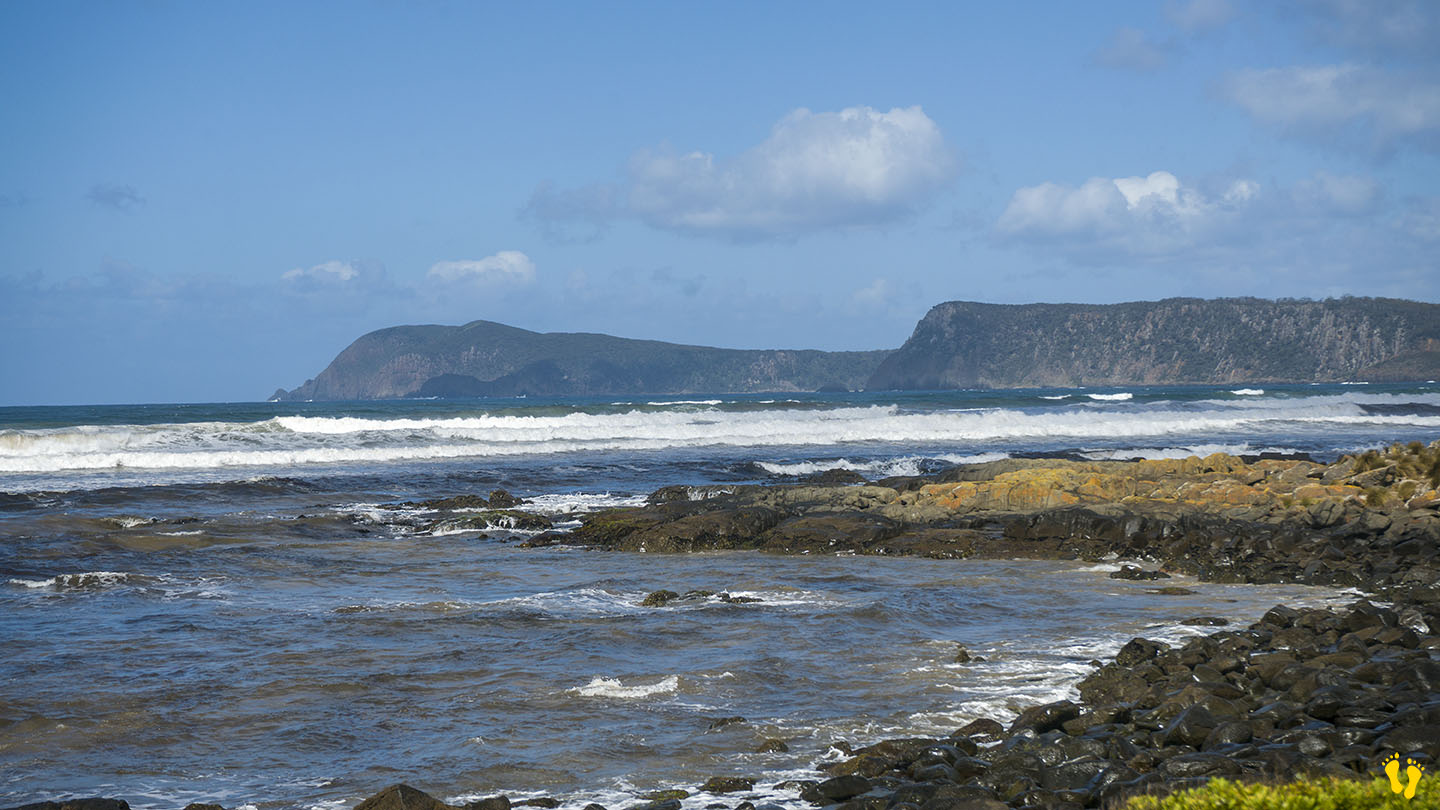
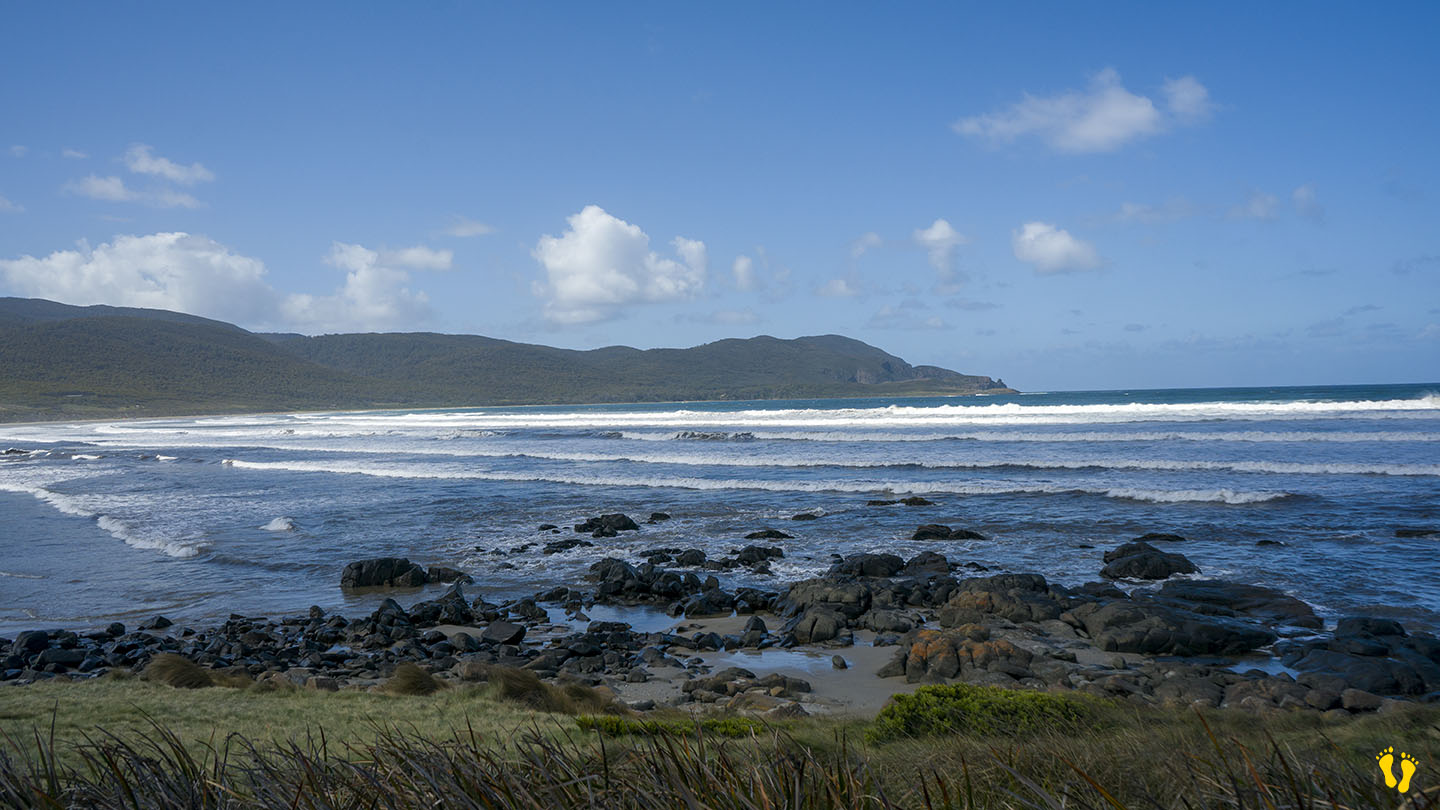
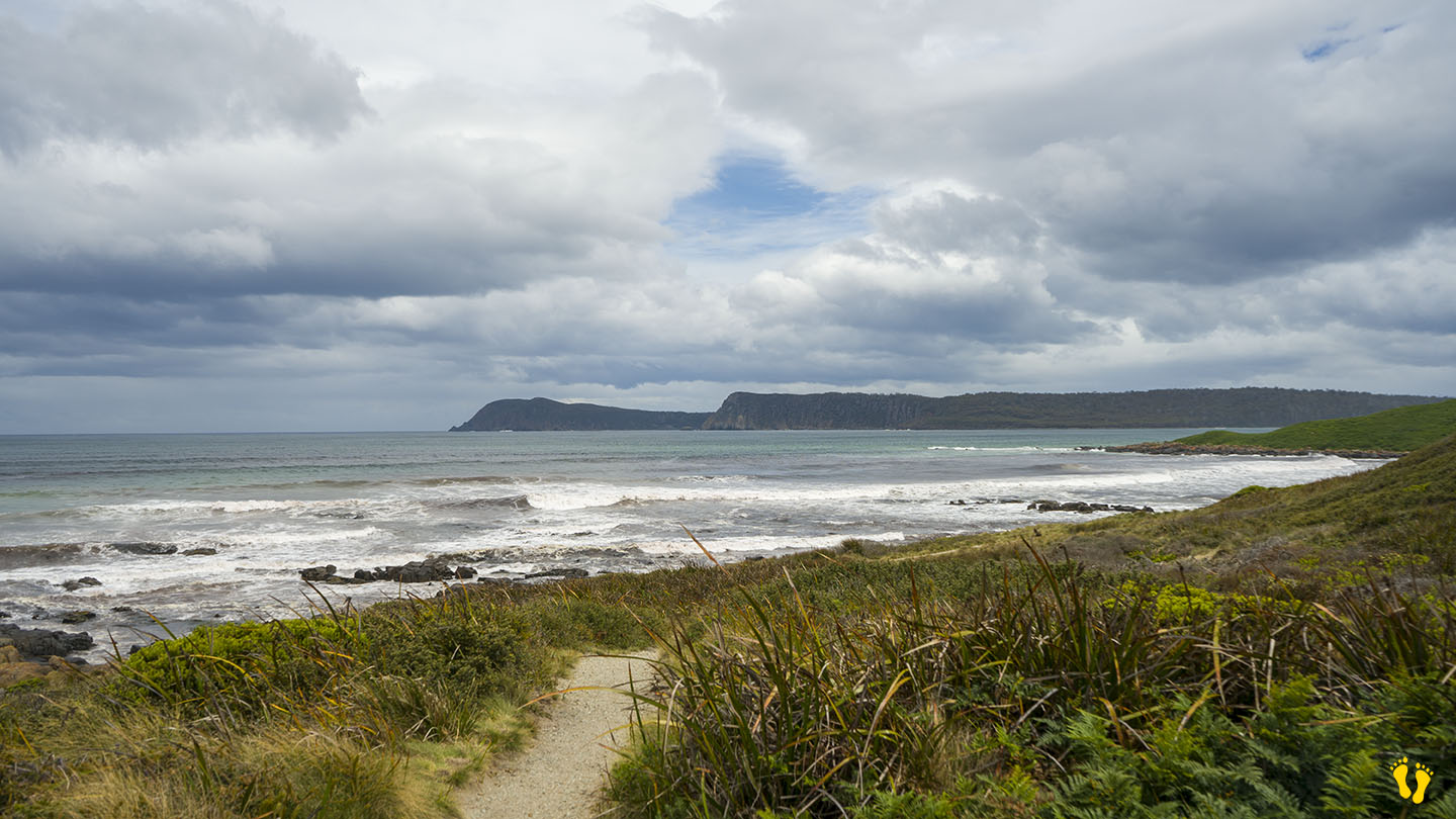
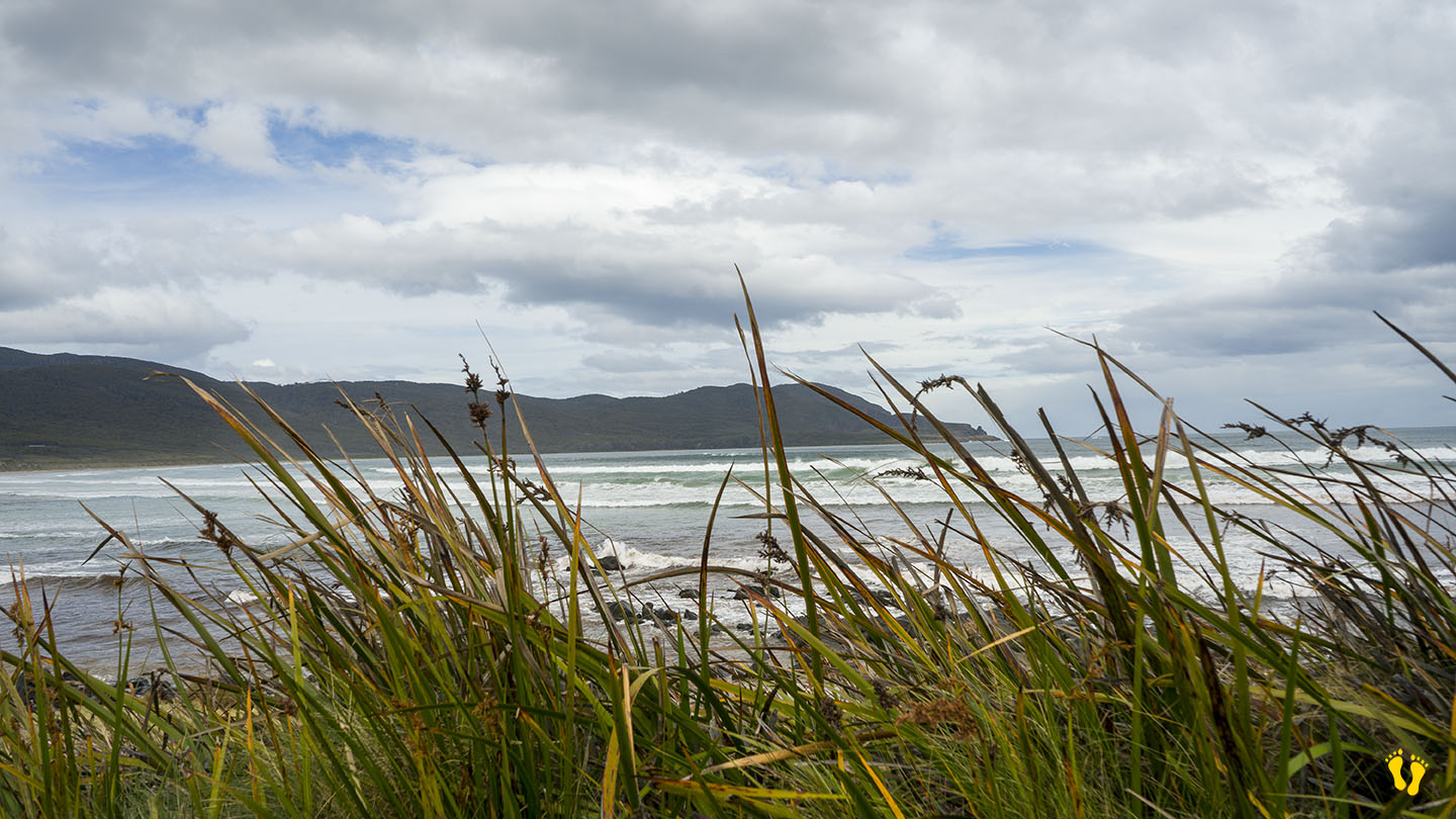
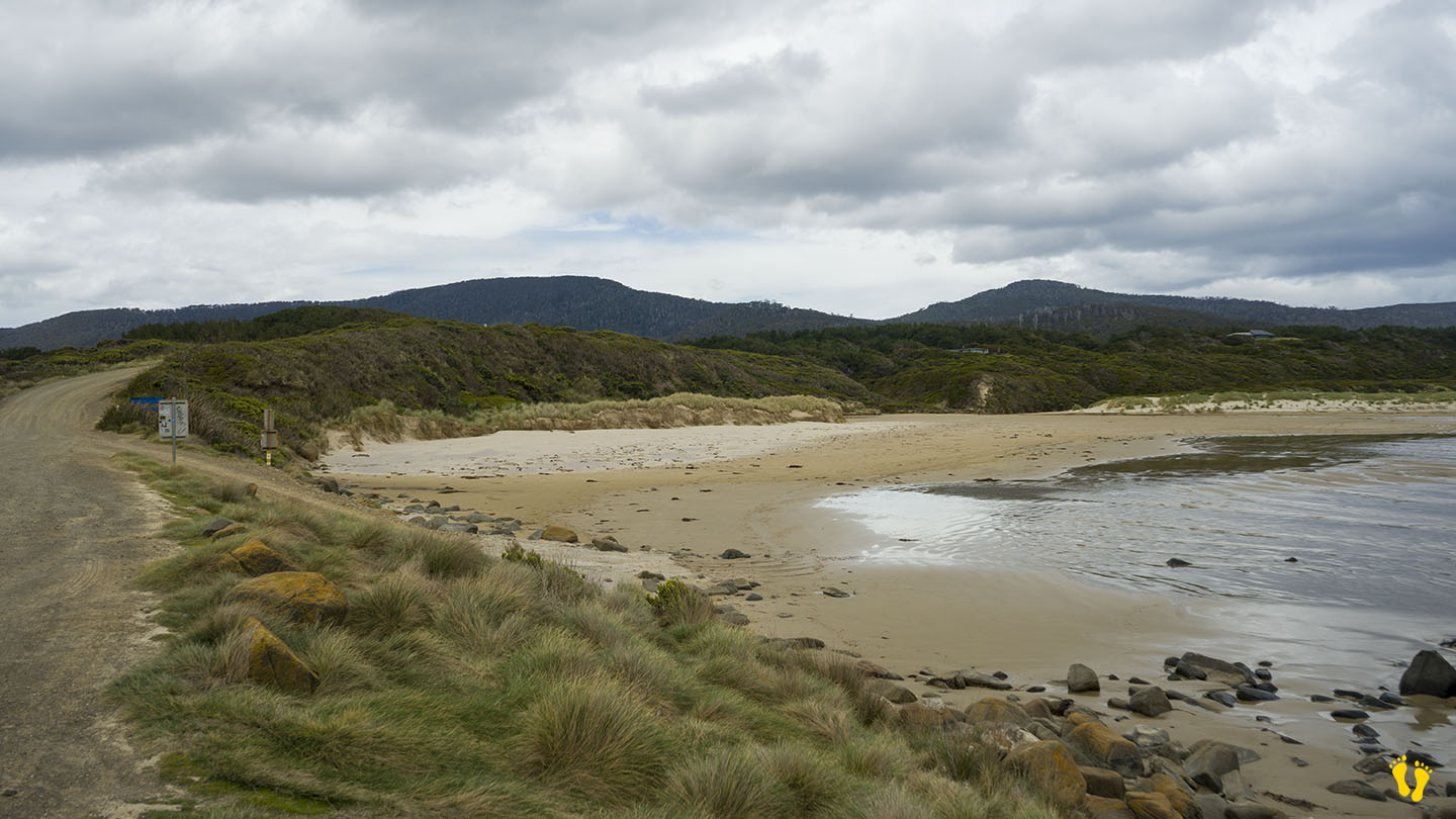
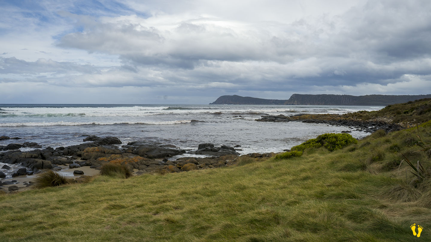
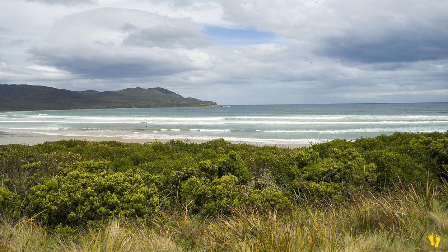
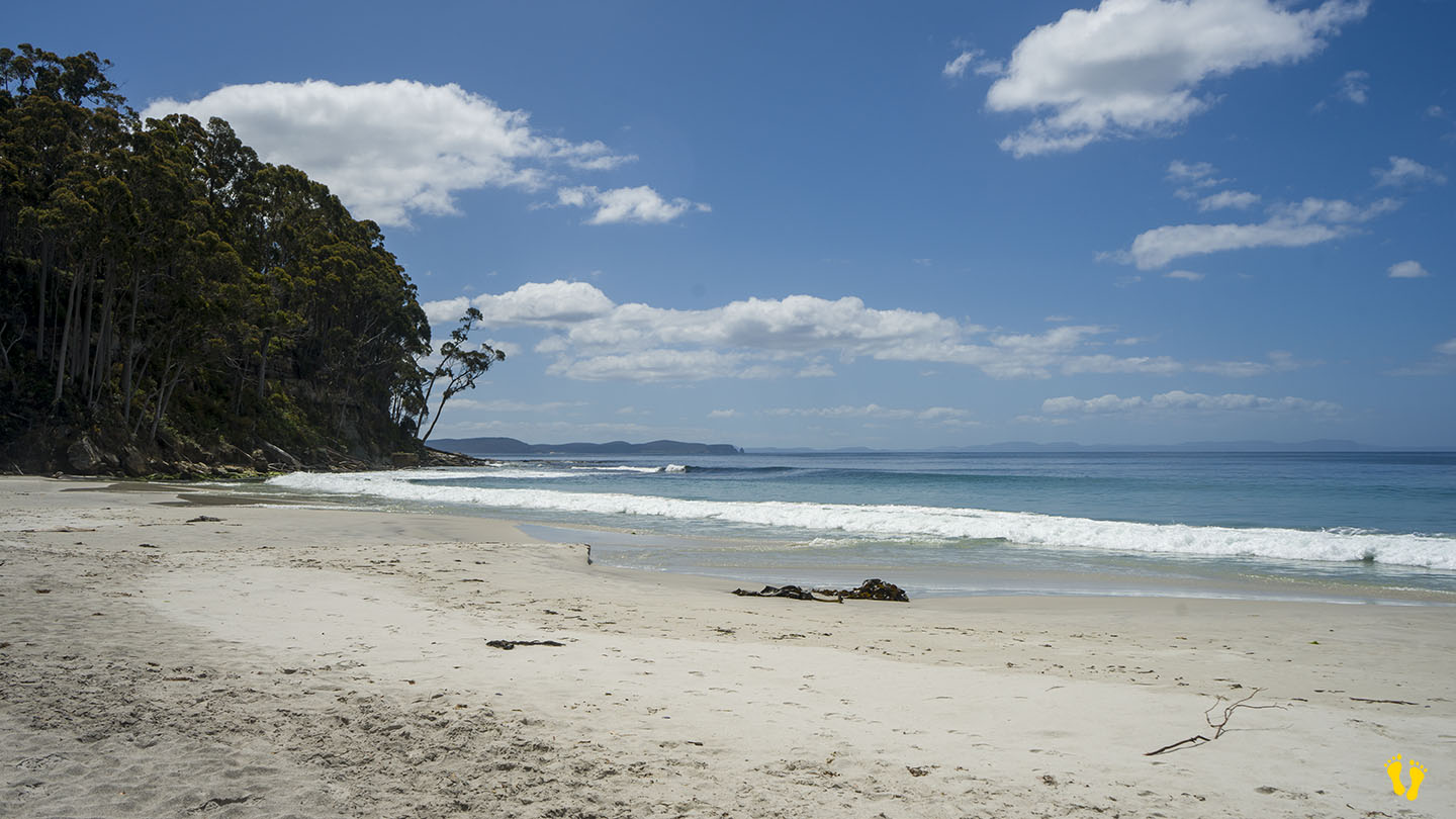
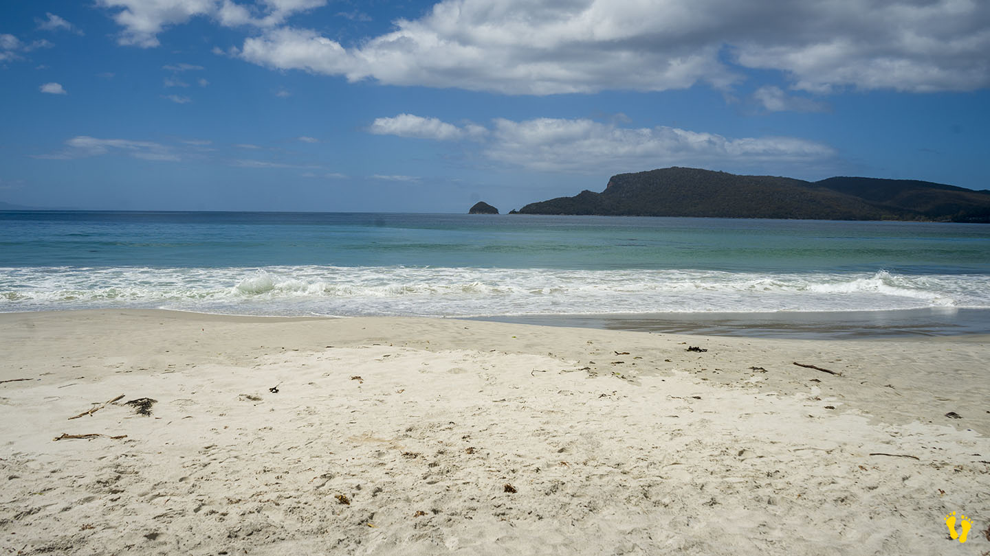
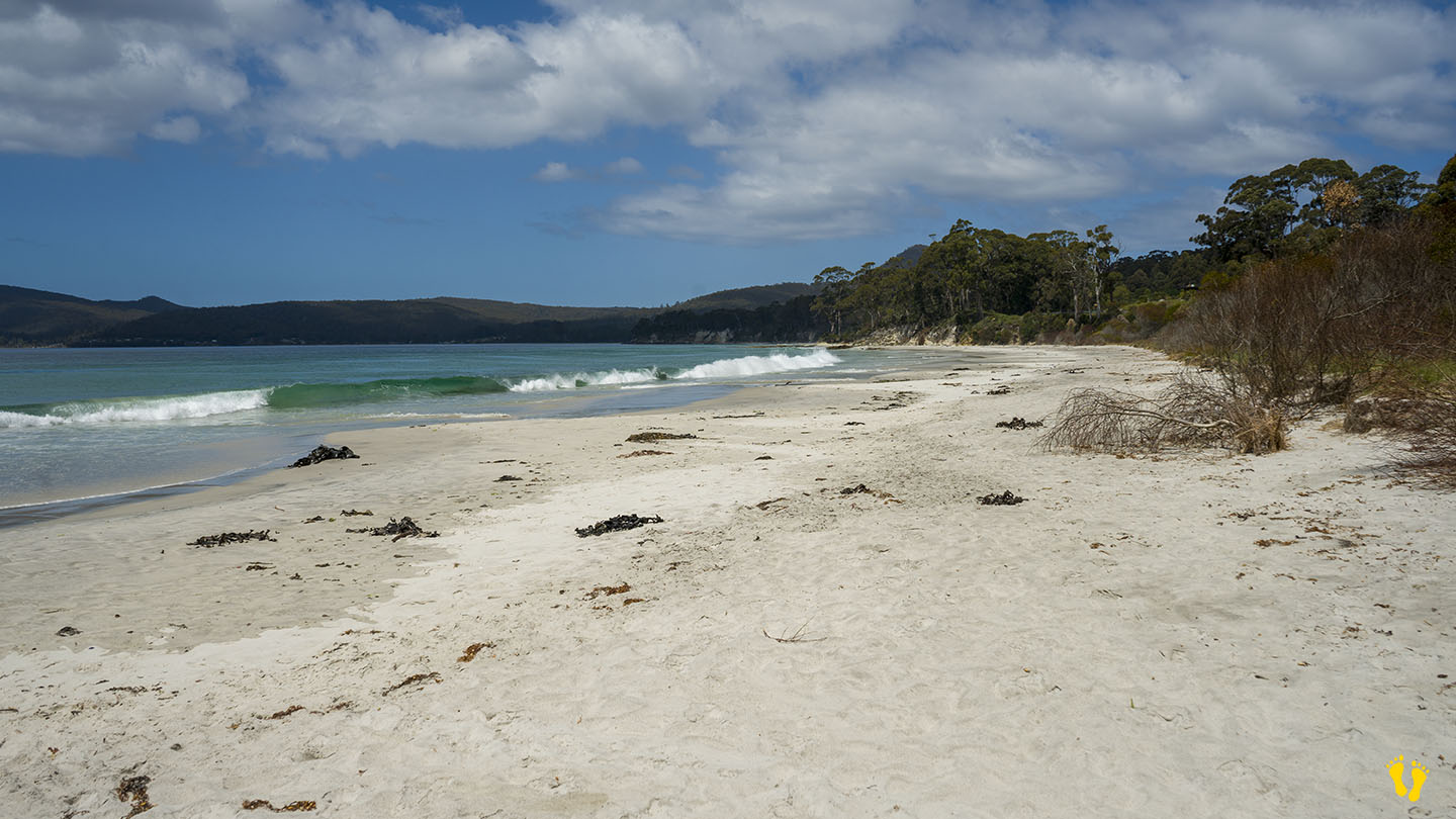
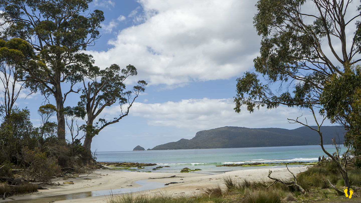
Bruny Island | Hazard Rating: 7/10 | Parking: Good + close | Location: South Bruny Island | Faces: South | Length: 9 km (ish)
Original People: Nuenonne | Original Name: lunawannalonna (Bruny Island)
Information and review
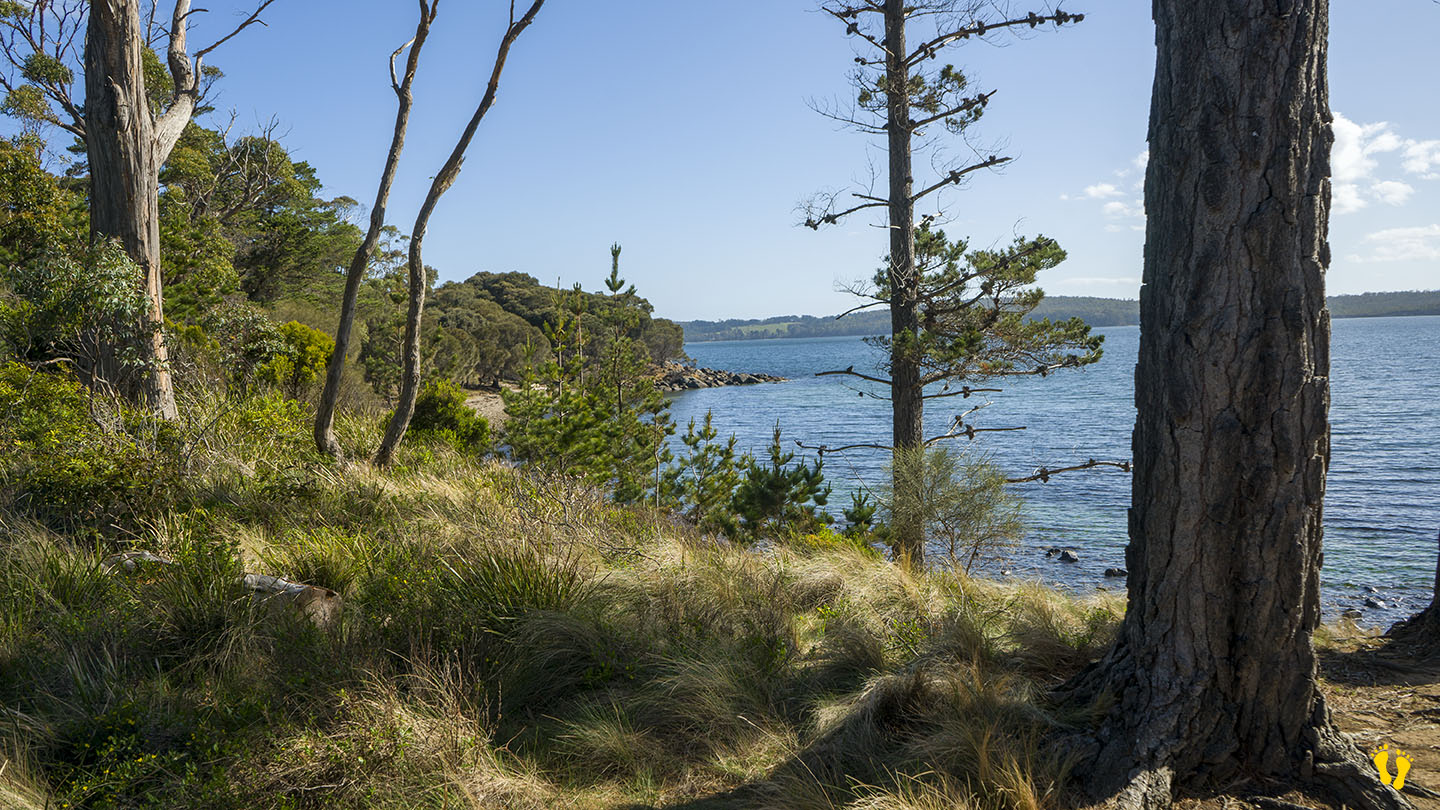
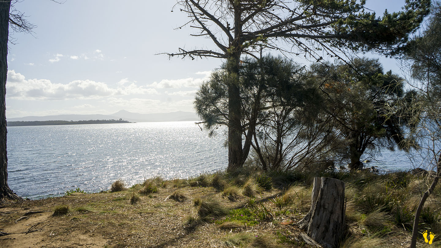
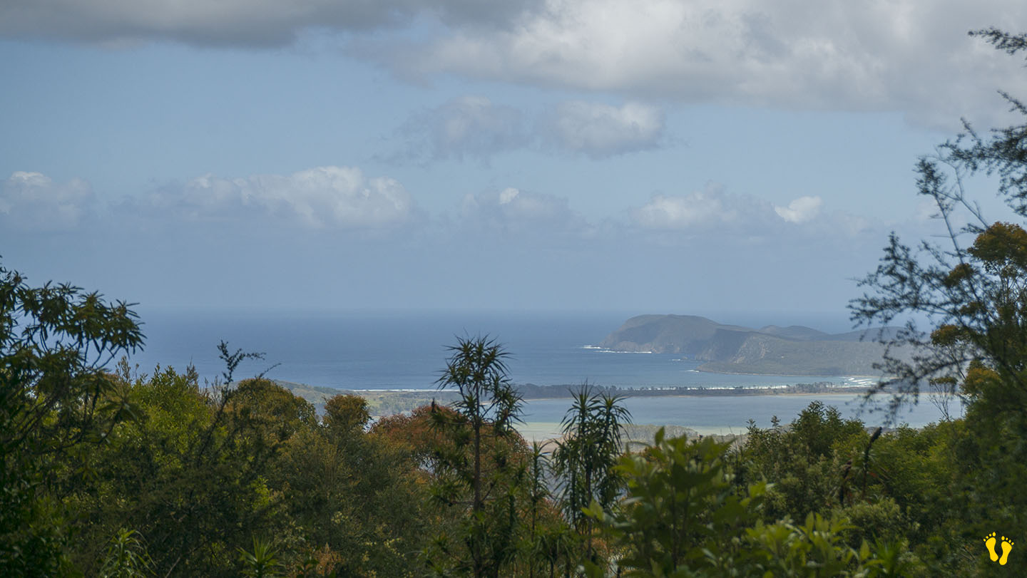
Cloudy Bay is a spectacular beach and bay at the south end of Bruny Island. A long beach with a headland in the middle and an inland lagoon (Cloudy Bay Lagoon) that feeds into the sea via Inlet Beach. To get there turn left at Lunawanna – about 10 Km to Cloudy, view some of the unique flora on the way.
This is a wild beach in a remote area of South Bruny with great surf. Although dangerous to swim, it is worth visiting to explore, view and enjoy.
Cloudy is a renowned surf beach, particularly the west end, a 500+ metre walk west from the carpark. Looking south the next stop is Antarctica.
The bay was originally named l’baie Mauvaise (Bad Bay) by French explorer Bruni D’Entrecasteaux in 1792. After 1822, it was marked on maps as Bad Bay, and after 1859, it became known as Cloudy Bay.
Cloudy has one the best bush ‘loos’ with a view I have seen – sit and enjoy the fantastic view!
I cannot express how much I think anyone visiting Bruny Island should visit this beach – in terms of great beaches it is a wonder of the world.

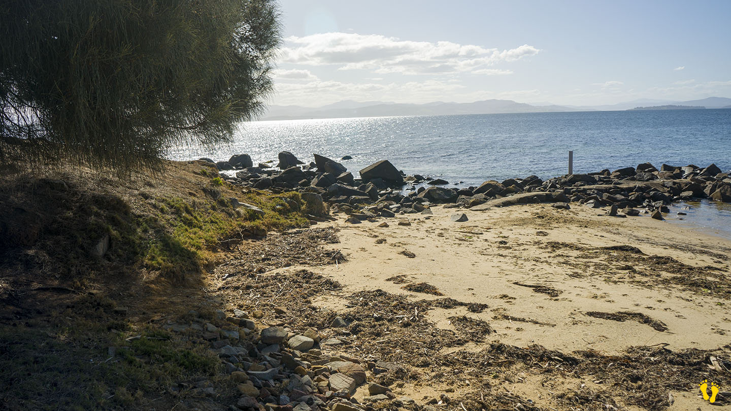
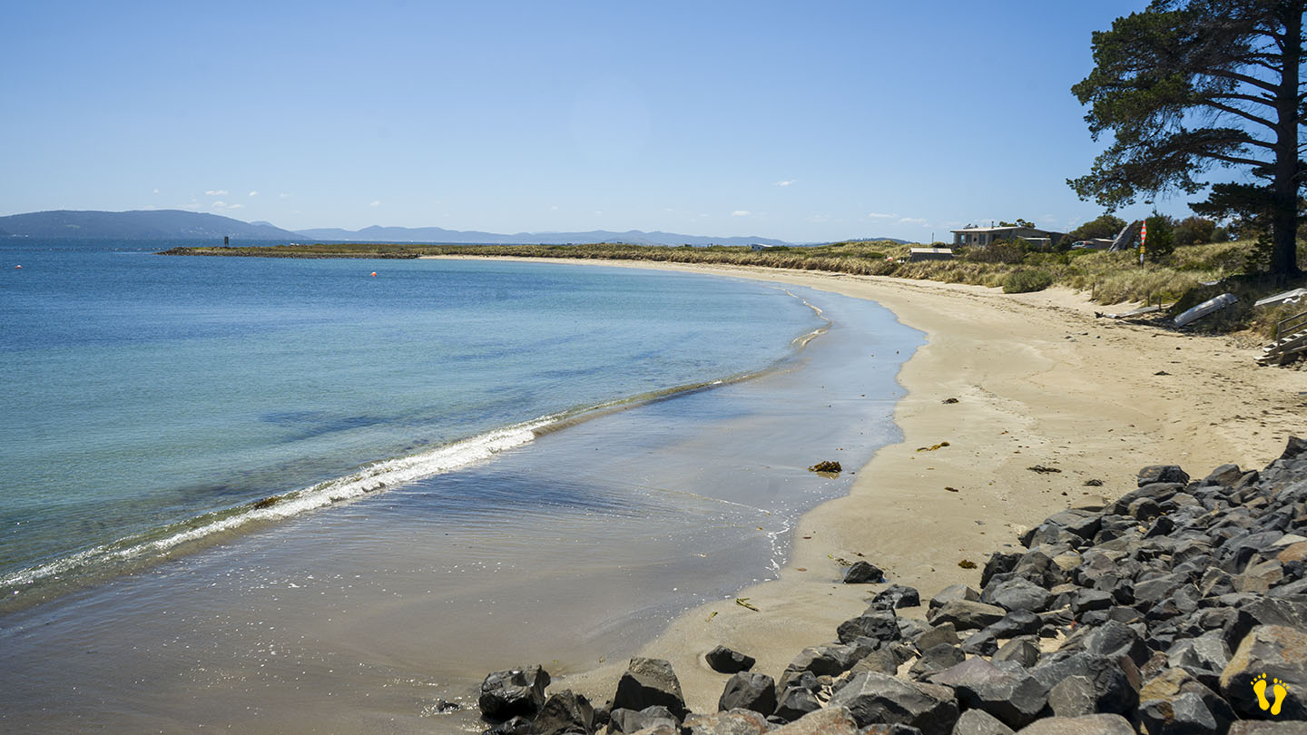
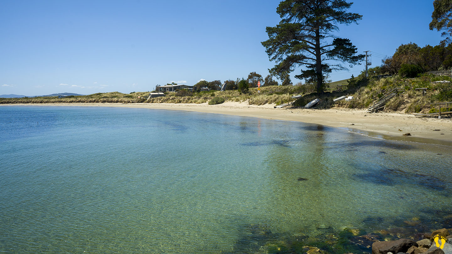
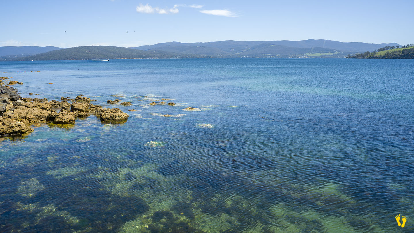
by Mickey Jarvis | Nov 23, 2024 | Bruny Island
Bruny Island | Hazard Rating: 2/10 | Parking: Good + close | Faces: Nor-west | Length: 2-3 km
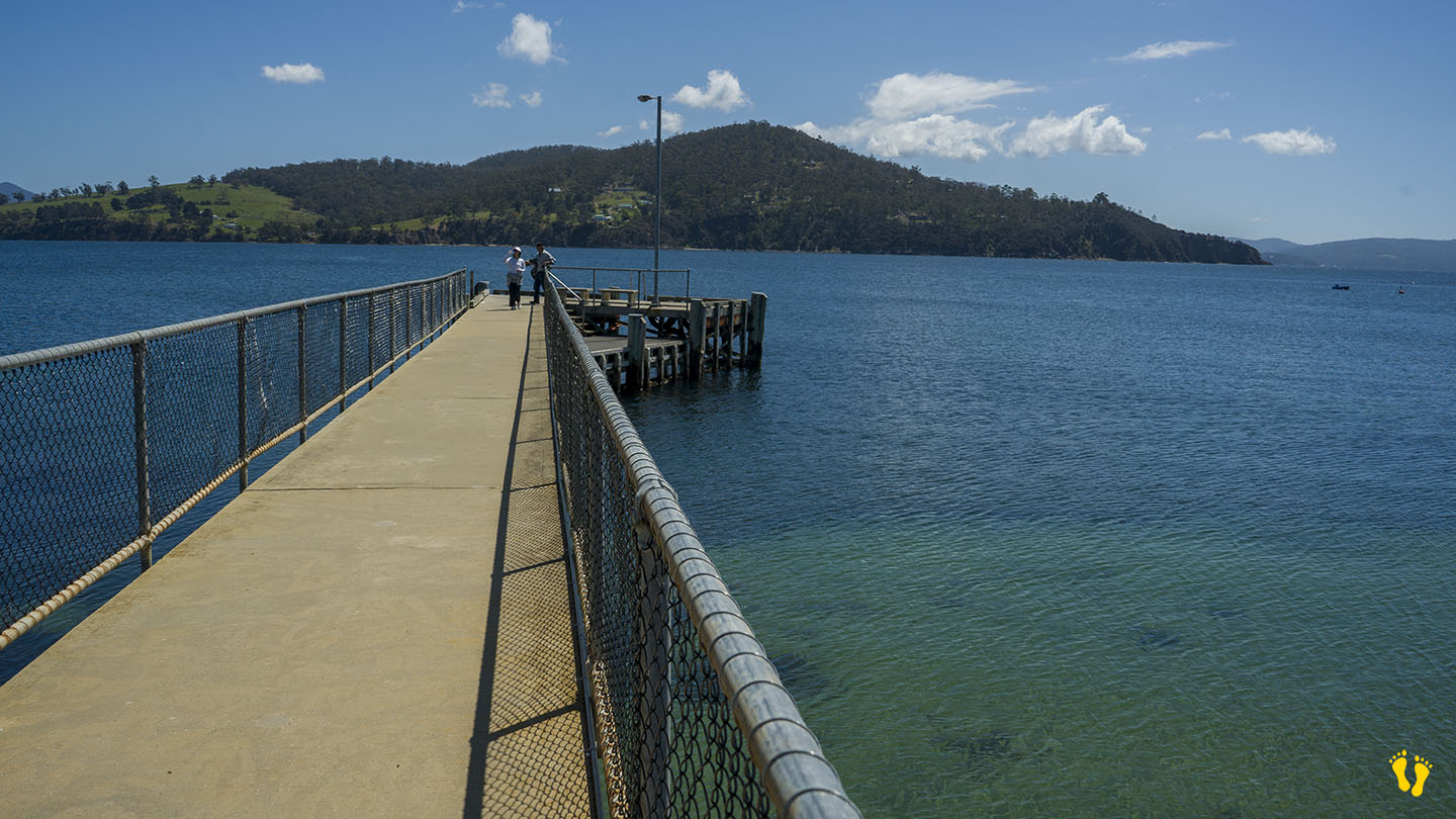
Dennes Point is situated on the northern end of Bruny Island and includes Jetty Beach and Nebraska Beach
Jetty Beach is a short beach at the northern end and surprisingly has a jetty (and boat ramp).
Nebraska Beach is south of Jetty Beach and is a long, usually safe beach with toilets and BBQ at the north end. A beautiful beach ideal for kids and families.
Views of Conningham, Tinderbox and North West Bay across the D’Entrecasteaux Channel.
It was named after the Denne family who settled the area as farmers in the 1830s. It was originally known as Kelly’s Point after pioneer shipmaster and harbour pilot James Kelly. Anthony Smith Denne commenced ferry service in 1847 across the D’Entrecasteaux Channel between Tinderbox and “Kelly’s” Point. The island is now serviced by a ferry between Kettering and Roberts Point. Over time Dennes Point has seen mixed agricultural activity, mostly orcharding and grazing.

by Mickey Jarvis | Nov 17, 2024 | Bruny Island
Hazard Rating: 3/10 | Parking: Limited | Faces: East into Adventure Bay | Length: 800 m
Original People: Nuenonne | Original Name: lunawannalonna (Bruny Island).
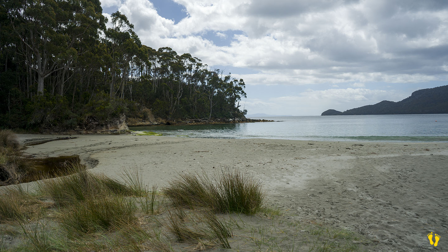
Hanssons Beach is north of Adventure Bay Beach and includes Two Tree Point on a small headland in the middle.
Pure white sand and a generally unknown beach that is for a great swim, walk or snorkel. The beach is named after a family that lived in the area.
A location famous for the two trees that stand at the point where Resolution Creek meets the ocean – Two Tree Point. Explorers Captain Furneaux in 1773, Captain James Cook in 1777 and Captain Bligh in 1788 stopped there for fresh water.