by Mickey Jarvis | Apr 18, 2023 | South, Surf
Hazard Rating: 10+/10 | Parking: None | from Hobart: A long way | Faces: South into Antarctica
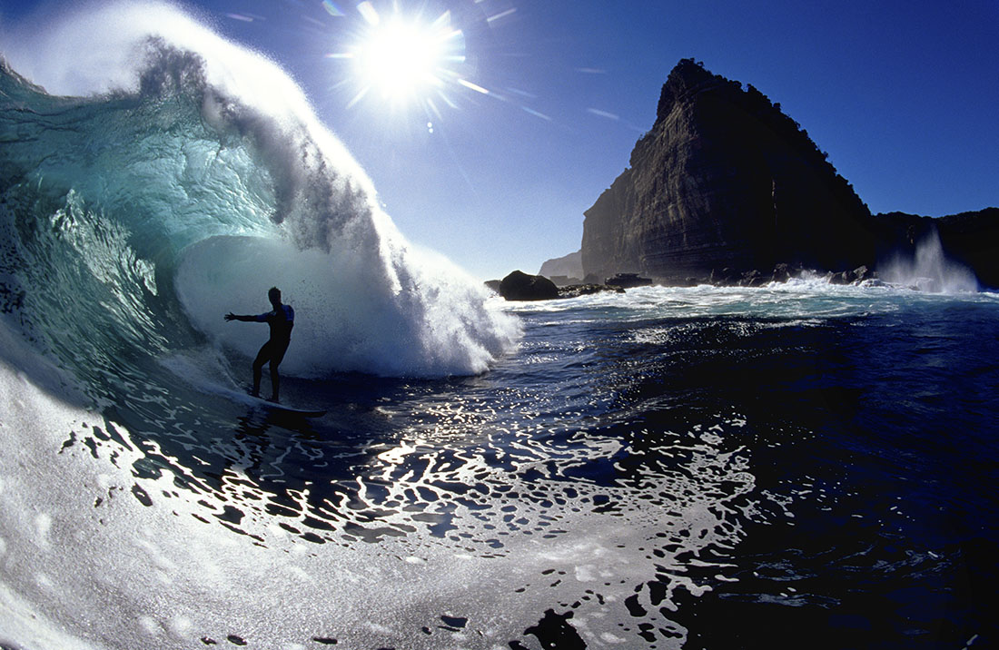
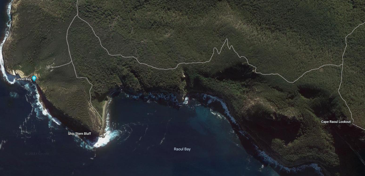
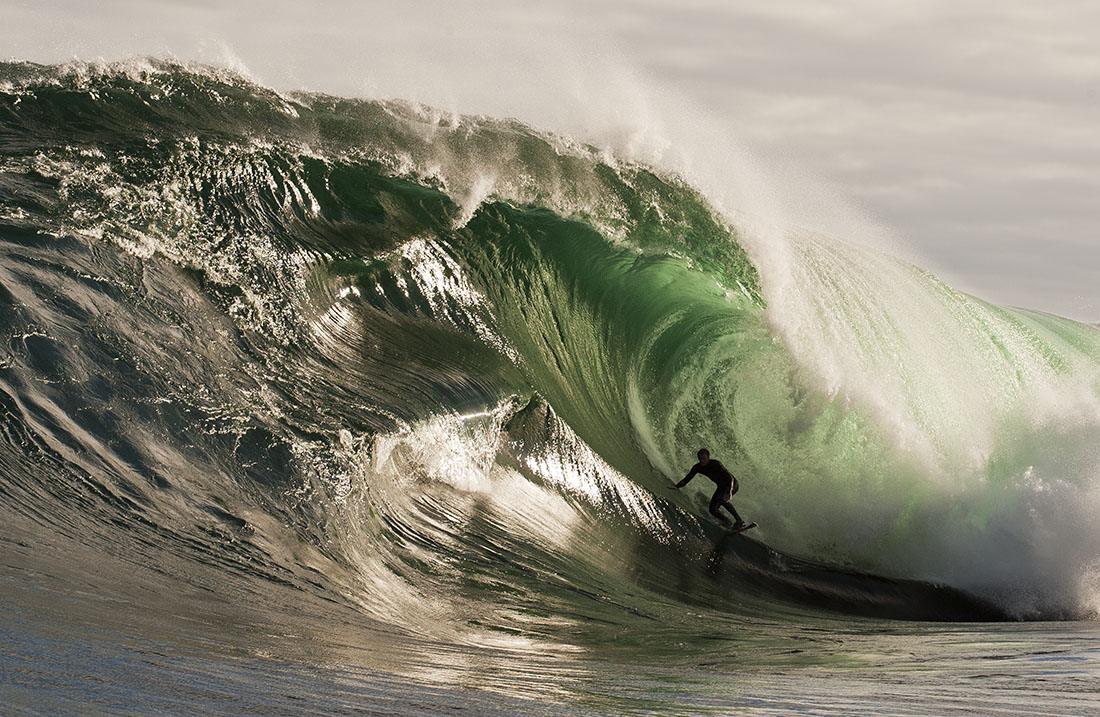
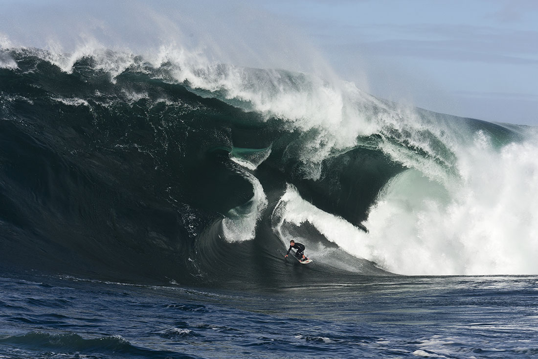
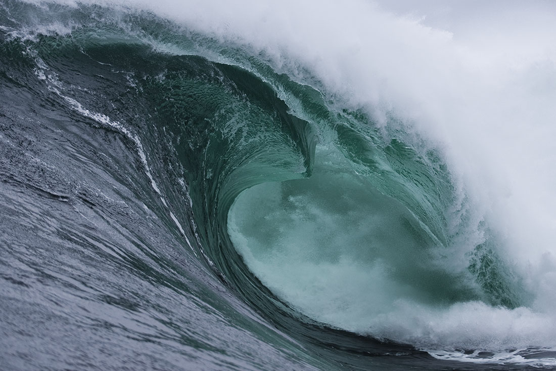
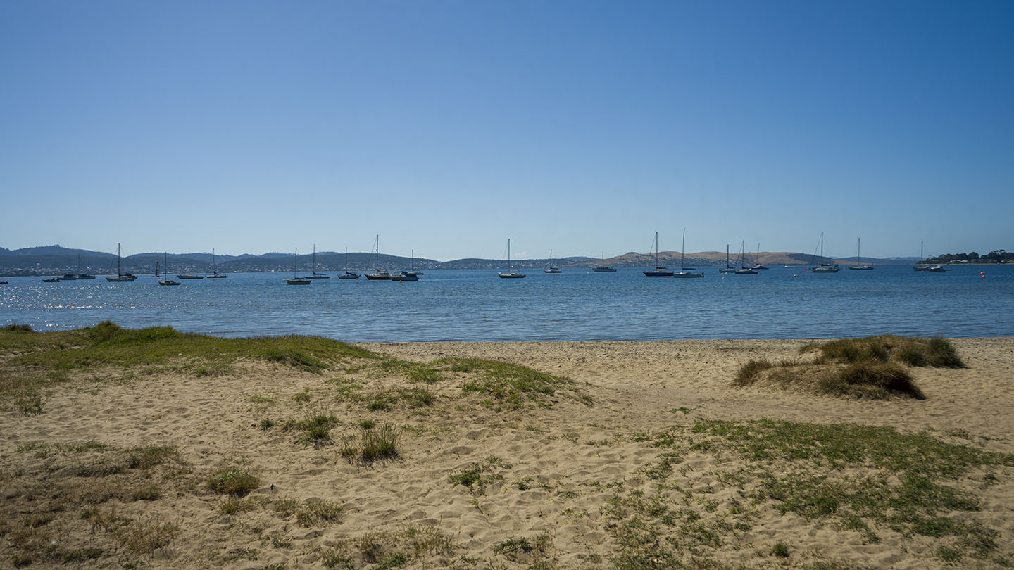
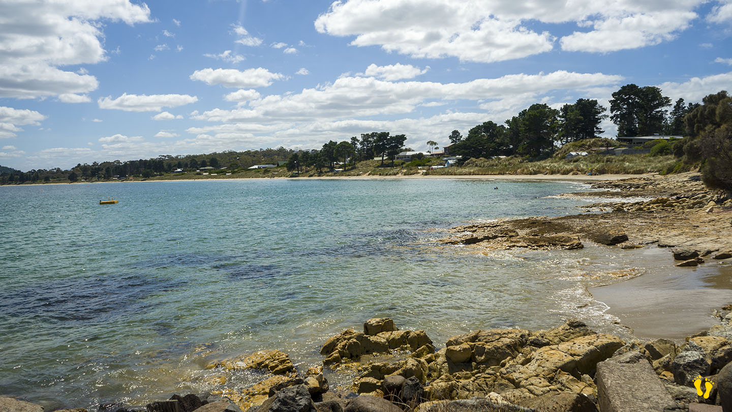
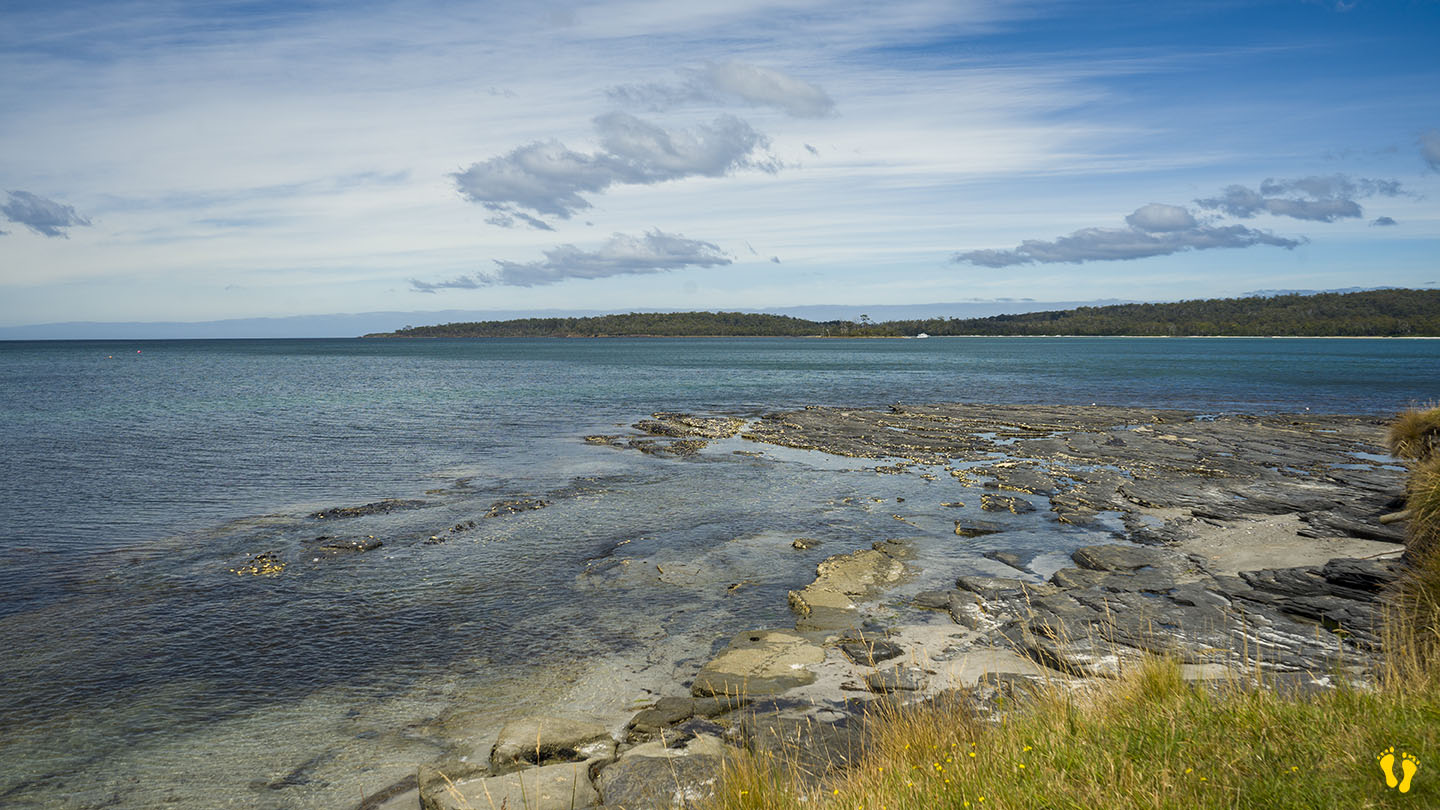
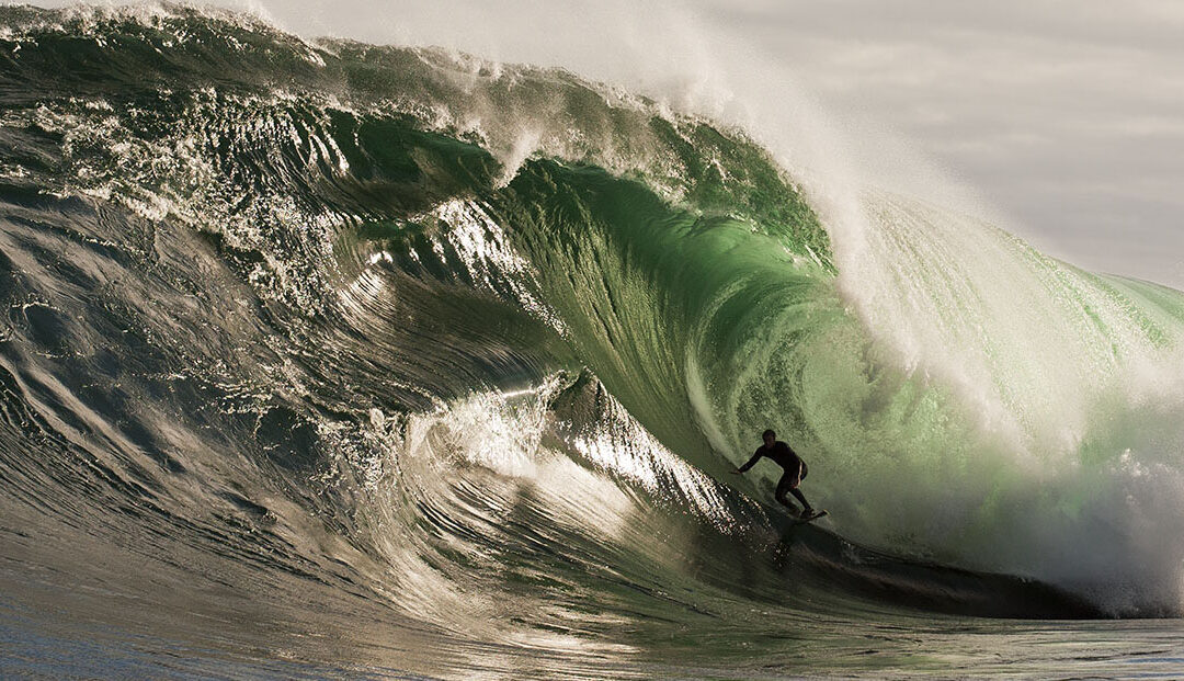
Located in Cape Raoul Bay, south east Tasmania and accessed by a 8 km walk or by boat. ‘Shippies’ is one the the wildest & most dangerous surf breaks in the world. Multi faceted surf steps and great white sharks make it a top challenge.
It’s name comes from the shape of the bluff which looks likes the ‘stern’ of a ship.
Surf photos provided by: Stu Gibson, a leading Tasmanian surf photographer.
by Mickey Jarvis | Jan 14, 2023 | Greater Hobart, Low Hazard, Wheelchair Friendly
Hazard Rating: Low | Parking: Good + close | from Hobart: 2.4 km | Faces: East into the Derwent River | Length: 150 m
Wheel Chair Access: Disabled parking and a gentle gradient to the beach often on packed sand.
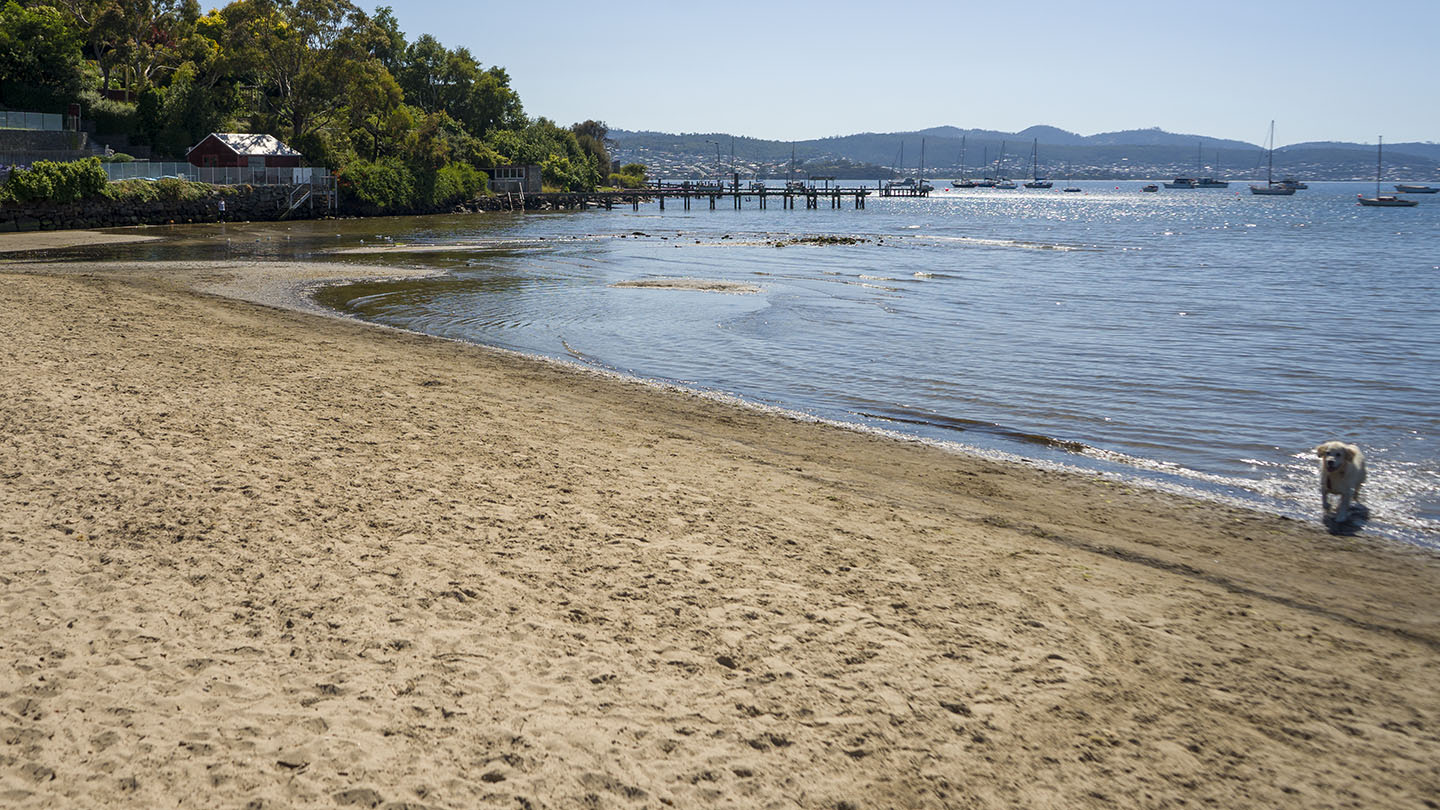
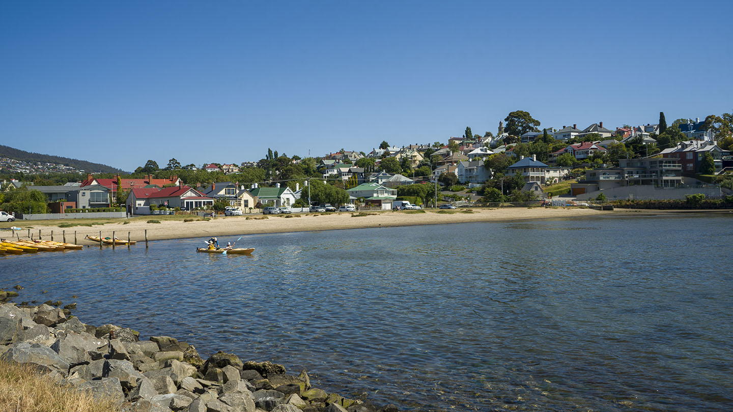
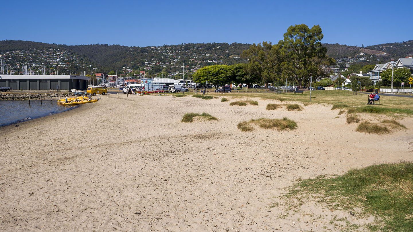
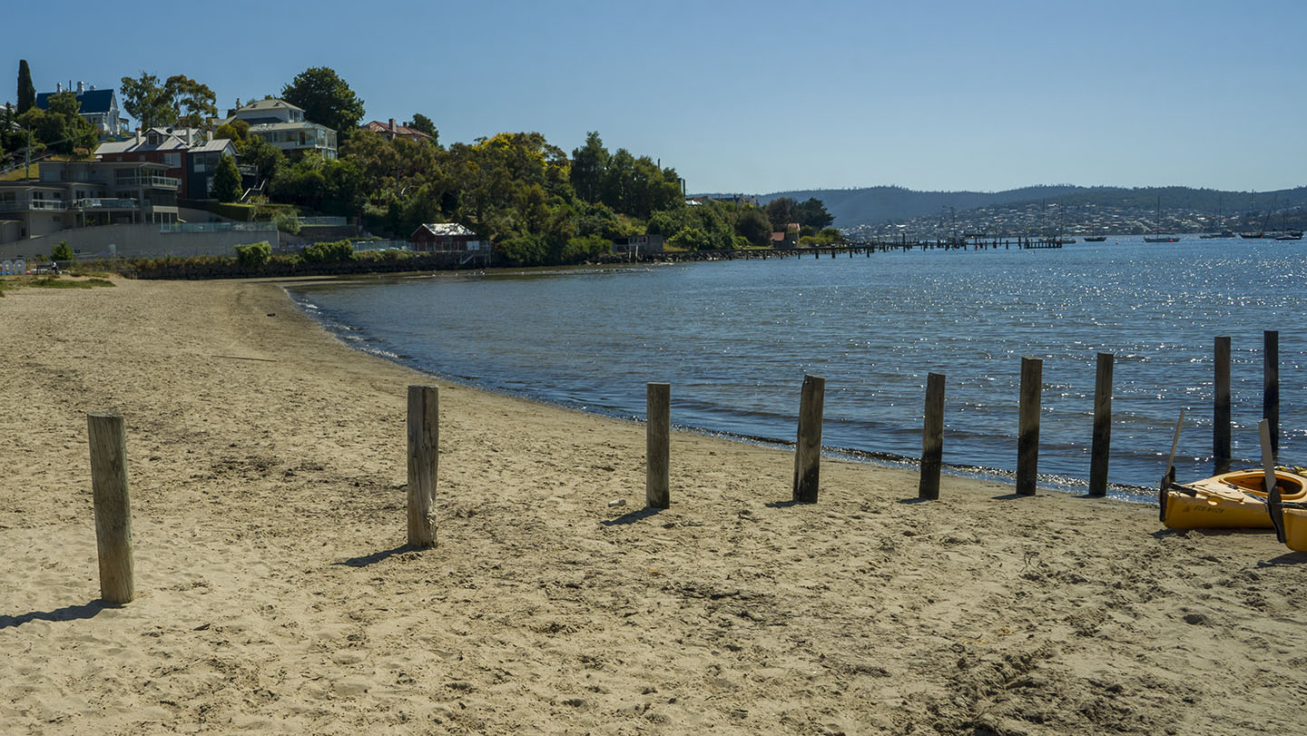
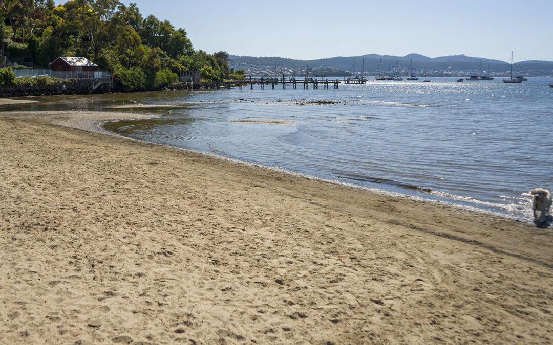
Short Beach is situated near Sandy Bay and Battery Point and surprisingly – it is not very long! Best accessed via Queen Street,
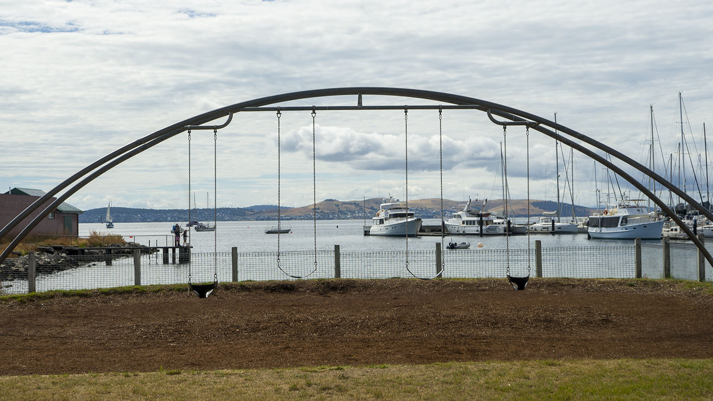
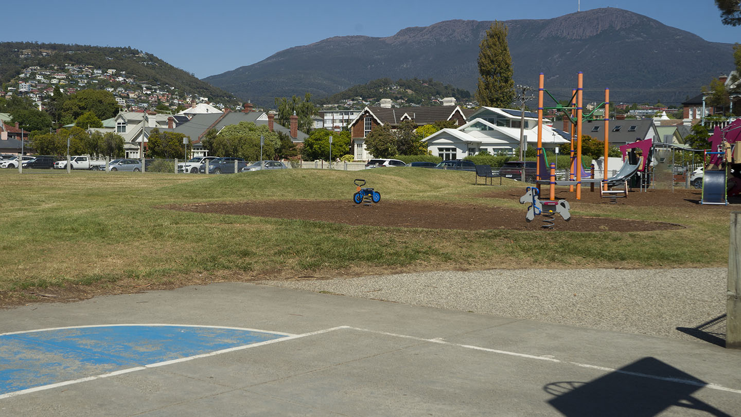
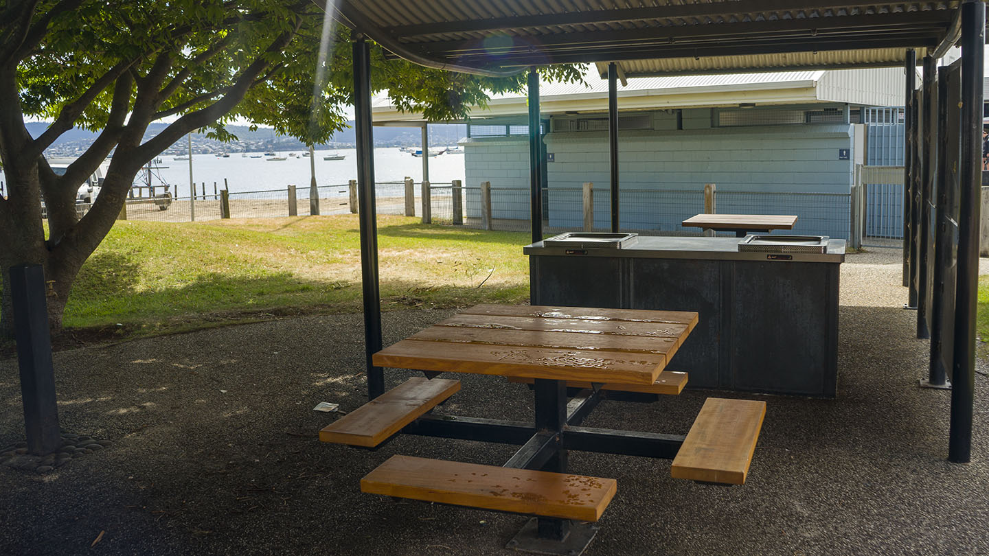
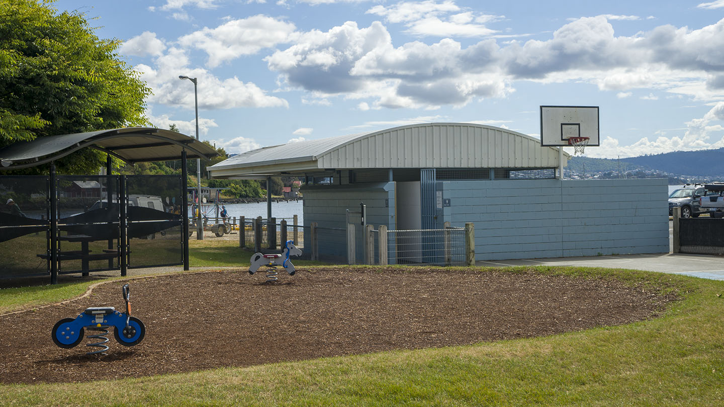
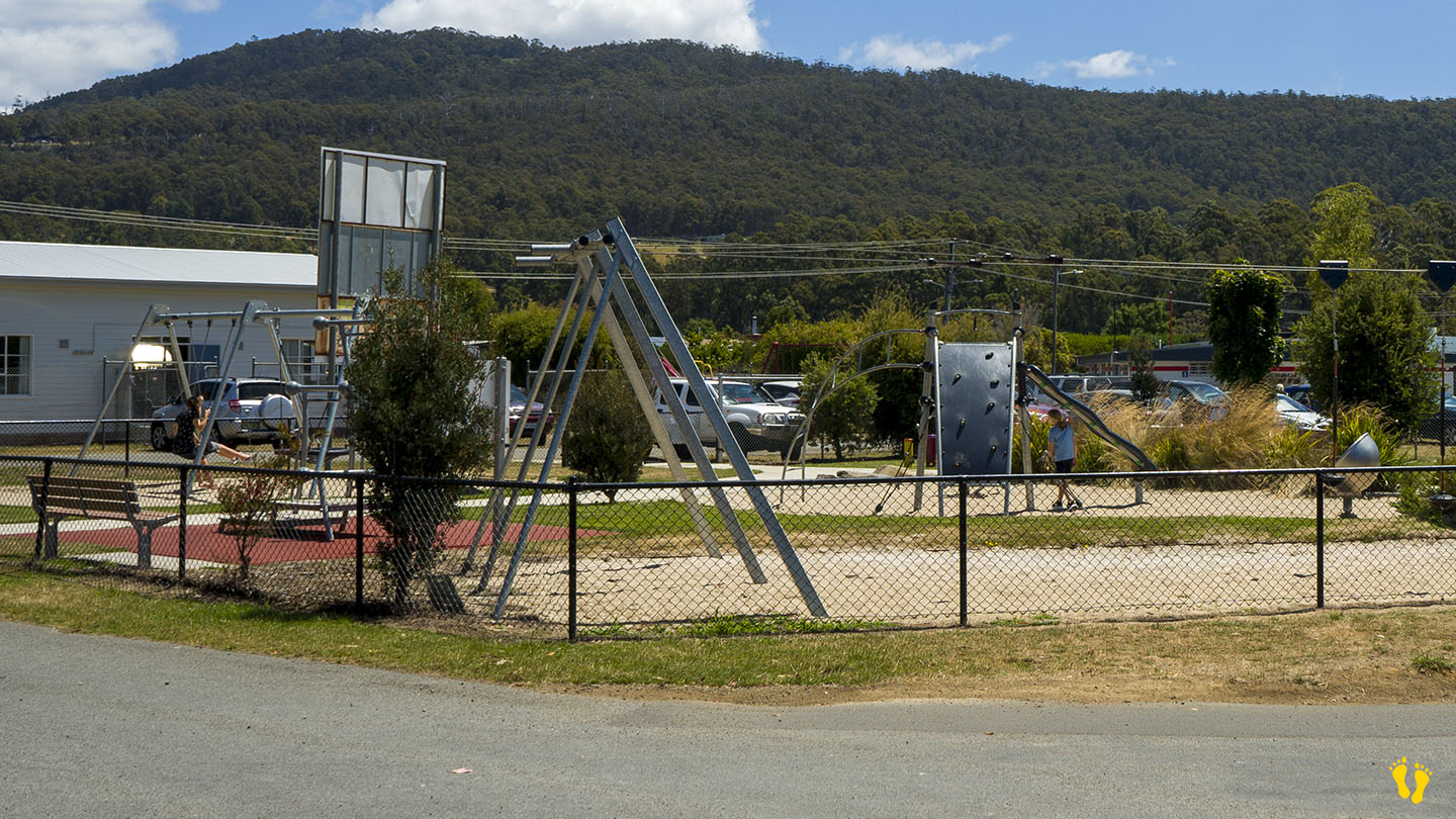
A protected beach with a playground, great swings, toilets and a BBQ area.
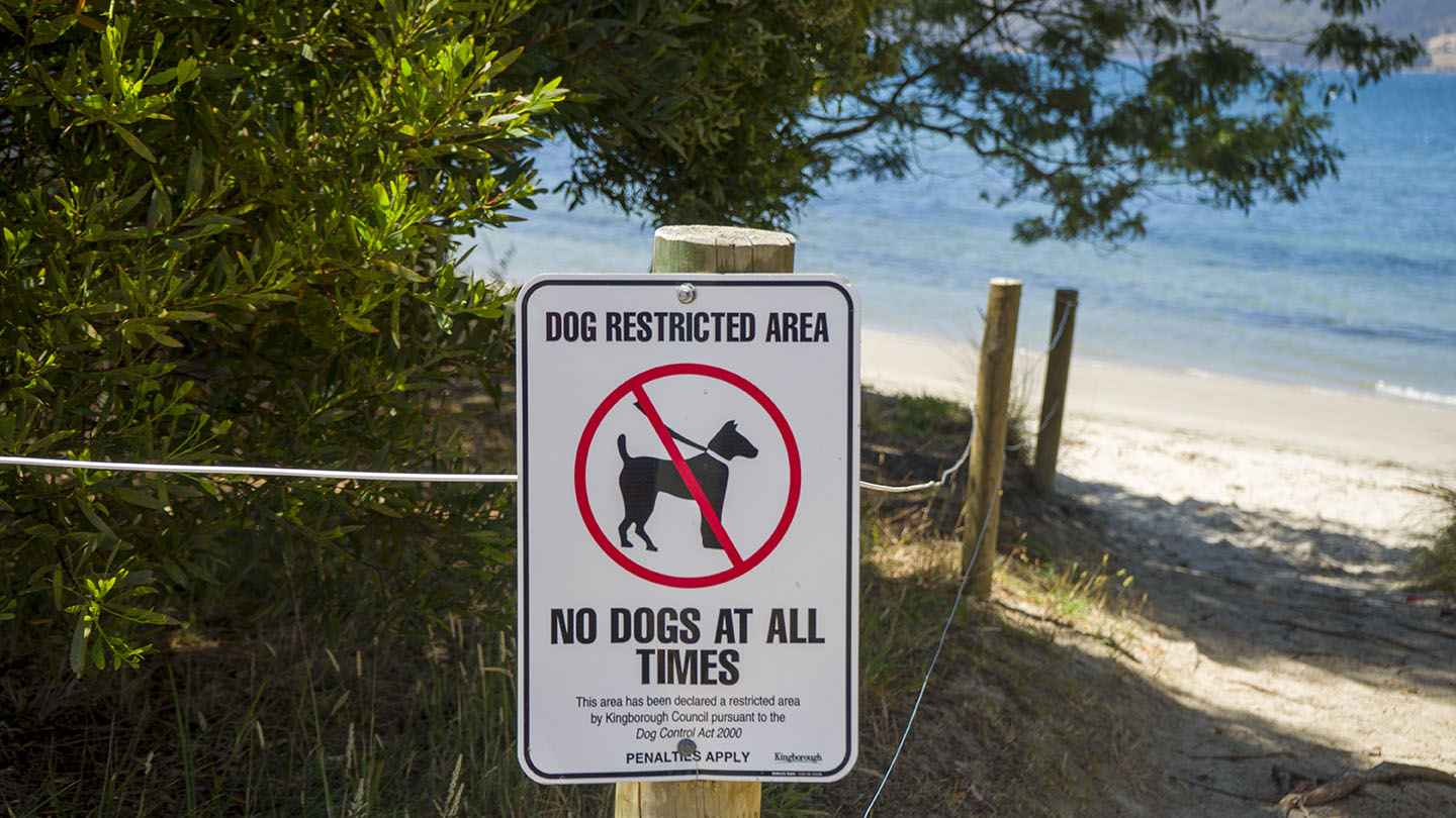
A dog friendly beach that is great for dog walking.
Ideal for learning to paddle board or kayak, but often not recommended for swimming due to poor water quality.
by Mickey Jarvis | Jan 6, 2024 | Channel, Low Hazard, South
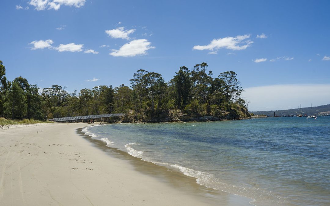
Hazard Rating: 2/10 | Parking: Good + close | from Hobart: 25 km | Faces: East into Northwest Bay | Length: 600m
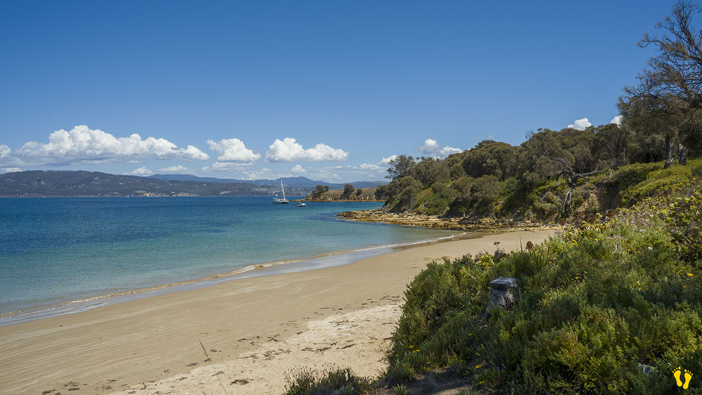
A somewhat protected beach in North West Bay which is ideal for kids and family.
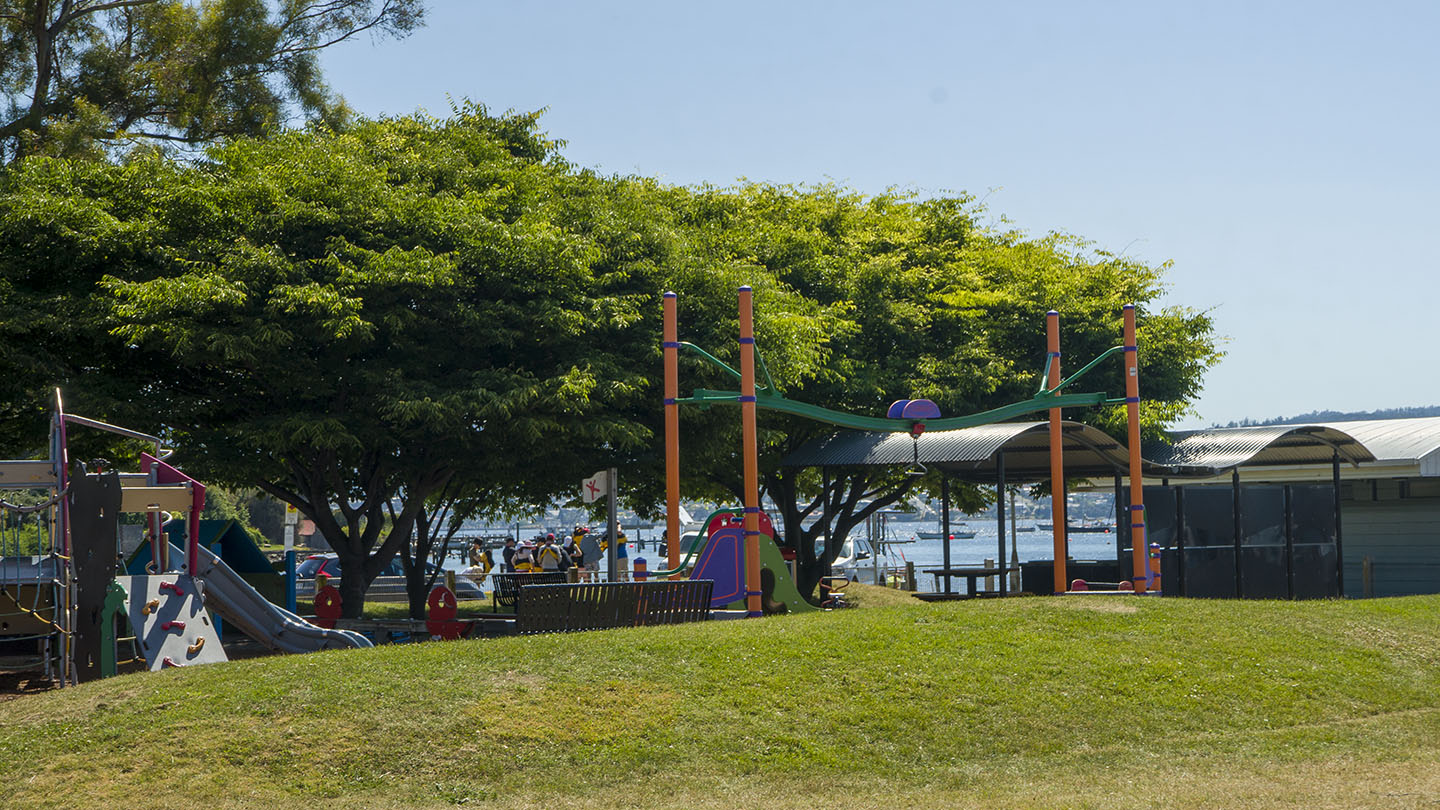
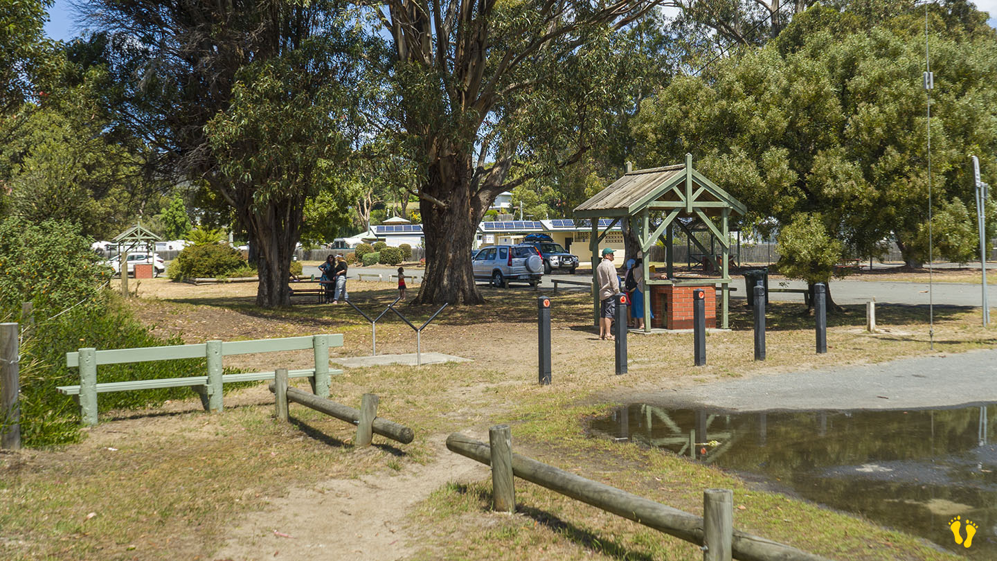
A small playground and BBQ area behind the beach. Cabin and camping ground nearby – Snug Beach Cabin & Camping Park.
Located in Snug – off Beach Road on the Channel Highway south of Hobart. Views of north Bruny and the Channel.
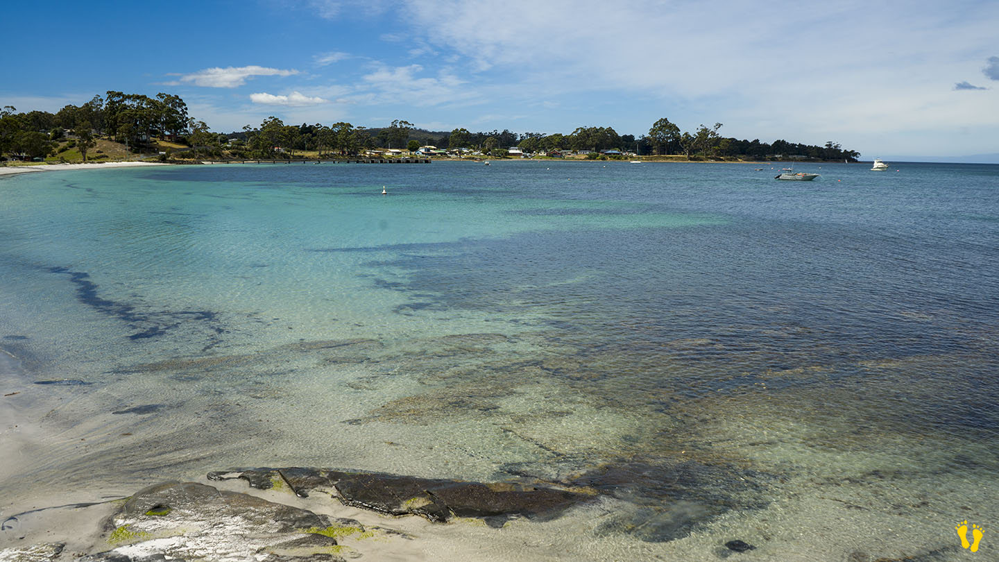
Proclaimed a town in 1908, the name is believed to have come from sailors who found “snug” anchorage for their ships in the D’Entrecasteaux Channel.
by Mickey Jarvis | Apr 23, 2023 | South Arm Road
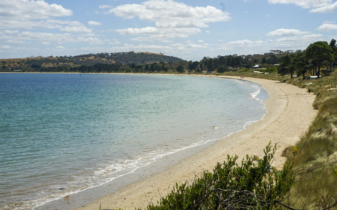
Hazard Rating: 3/10 | Parking: Limited | from Hobart: 40 km | Faces: West into Halfmoon Bay and the Derwent River| Length: 2.4 km
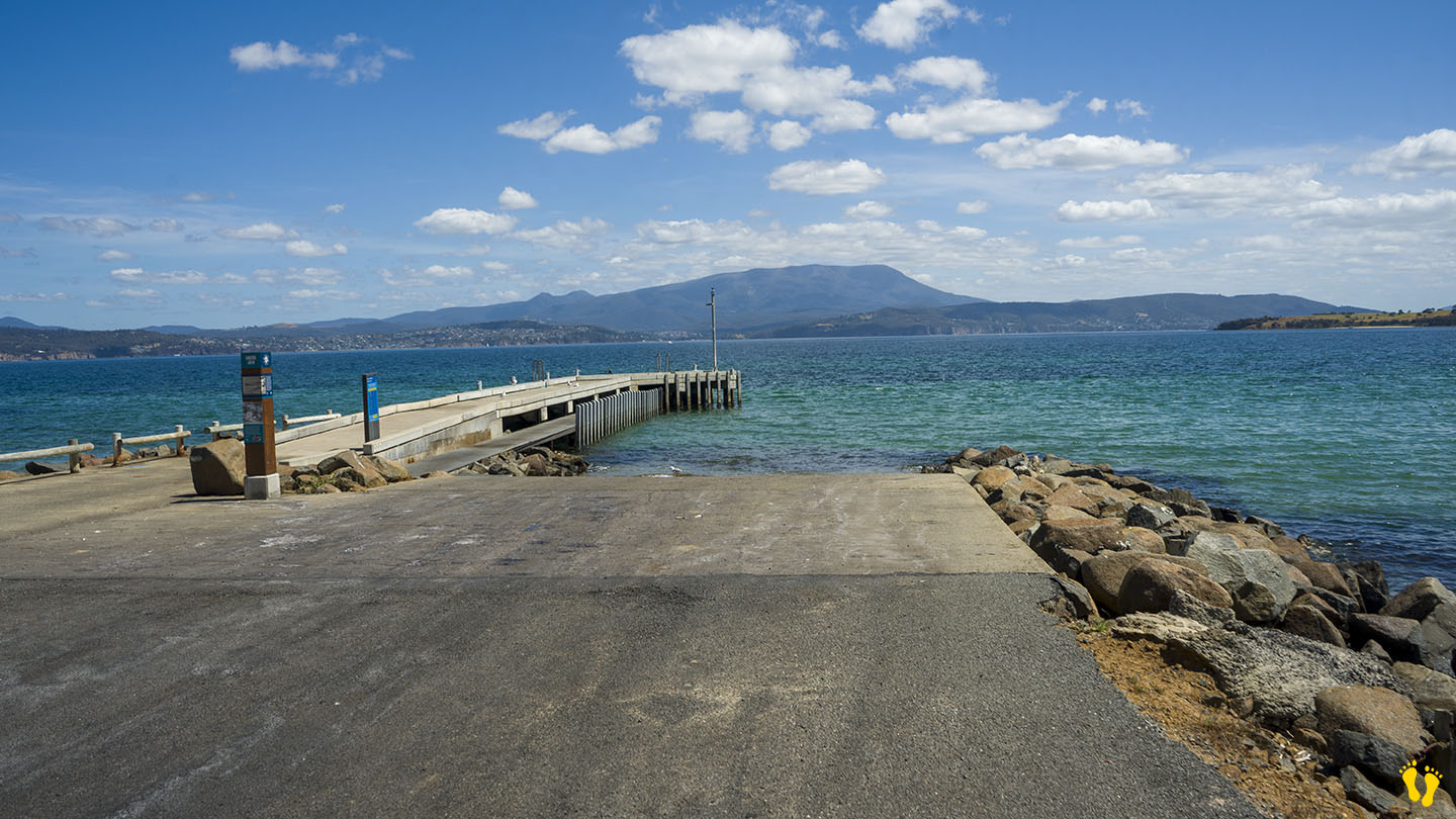
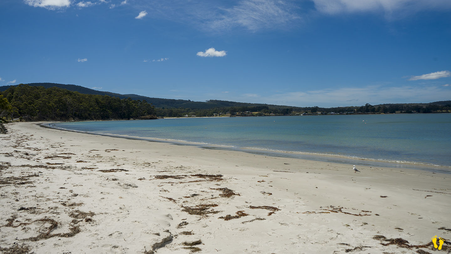
The beach starts in South Arm and heads north towards Opossum Bay. A boat ramp and jetty is on the south end with toilets, limited parking and a short walk to the beach. Several shops nearby. Beach access along it’s shore is very limited due to residential homes… there are some access walkways along the beach with limited roadside parking. Accessible on the north end via Algona Street which has some parking.
A beautiful beach… usually safe and well protected… good for kids.
by Mickey Jarvis | Feb 22, 2024 | South
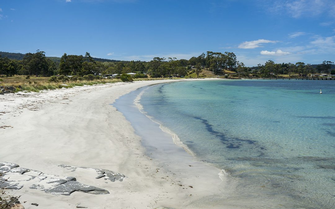
Hazard Rating: 2-3/10 | Parking: Limited | from Hobart: 100 km | Faces: South-Southeast | Length: 600 m
Original people: Lyluequonny (Pangherninghe)
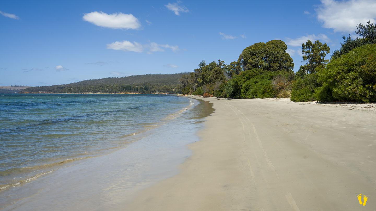
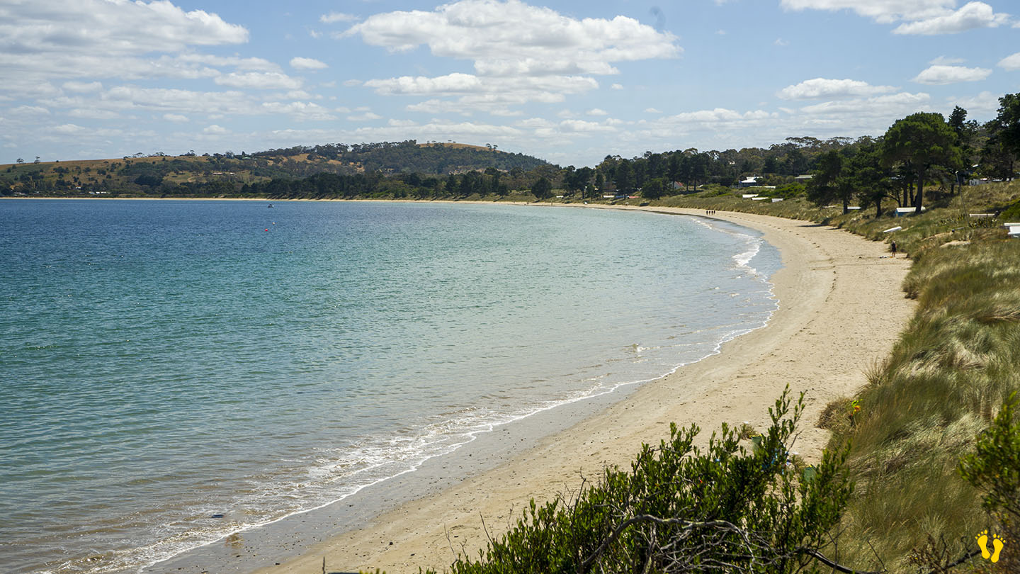
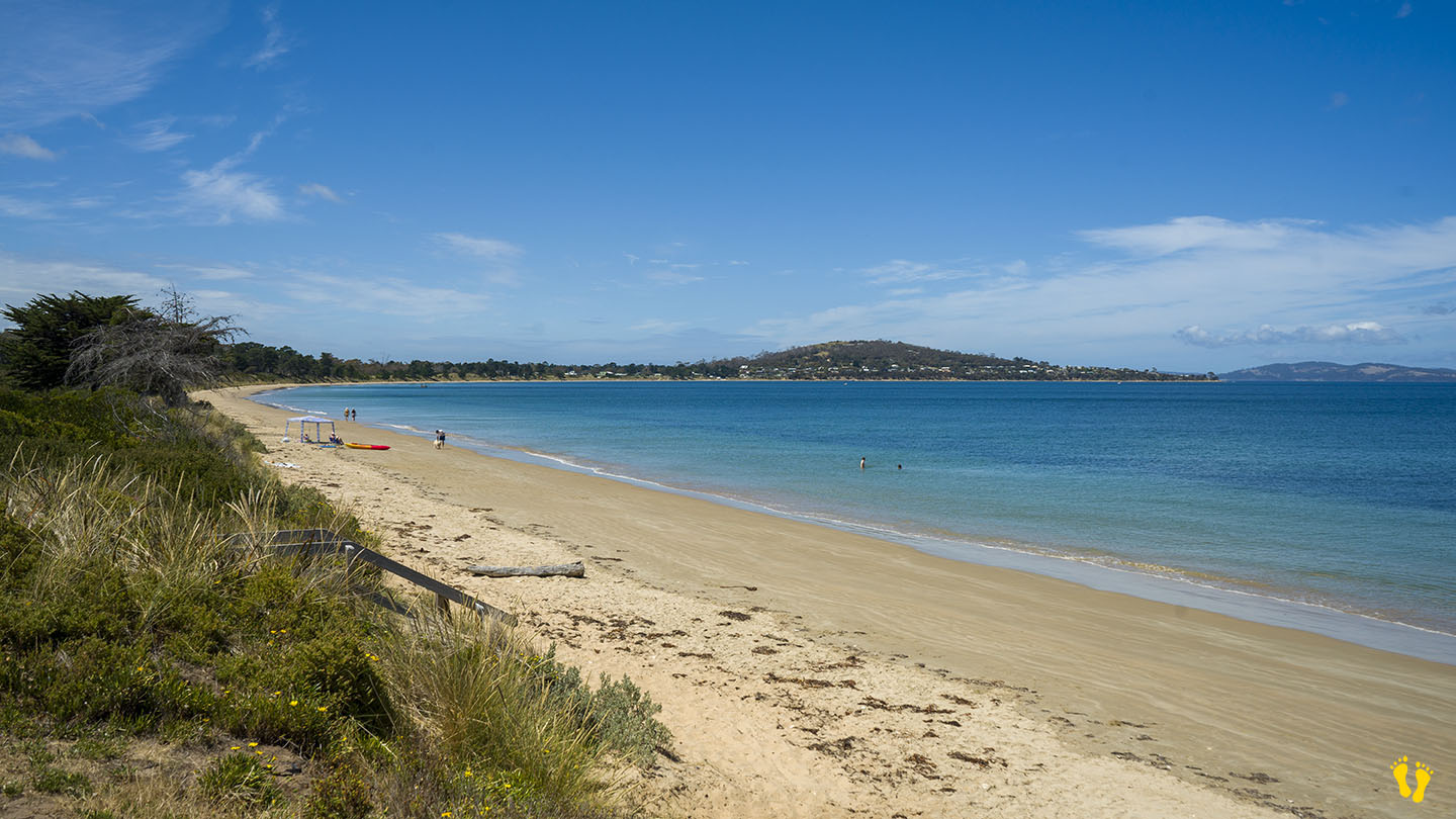
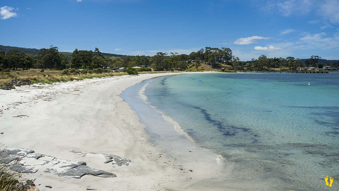
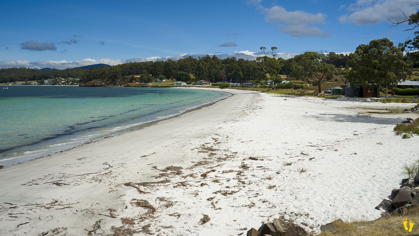
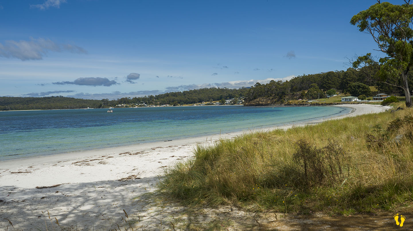
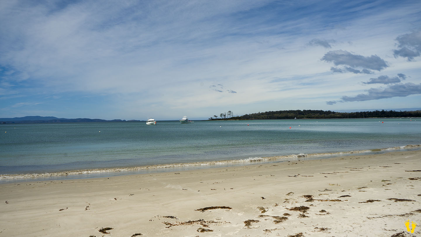
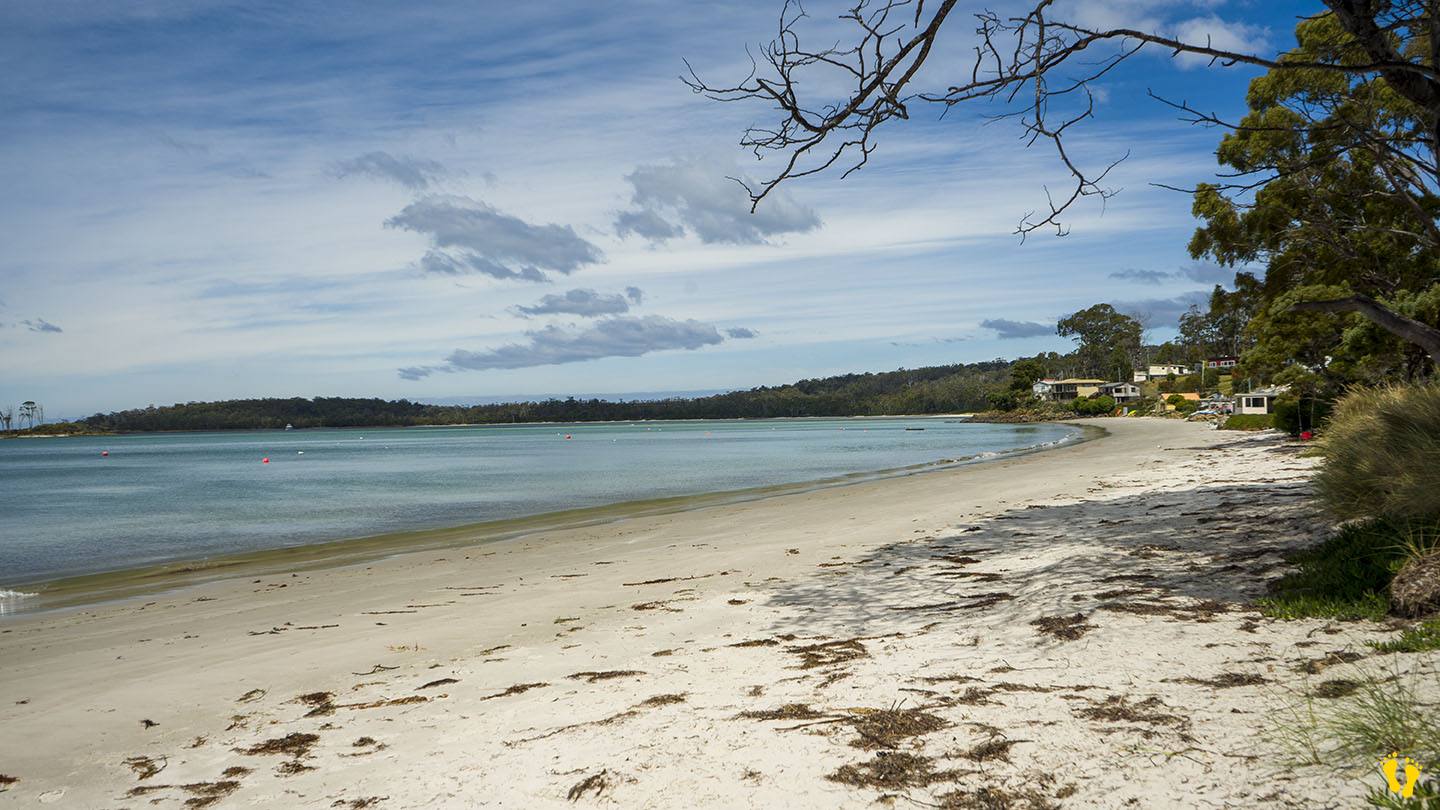
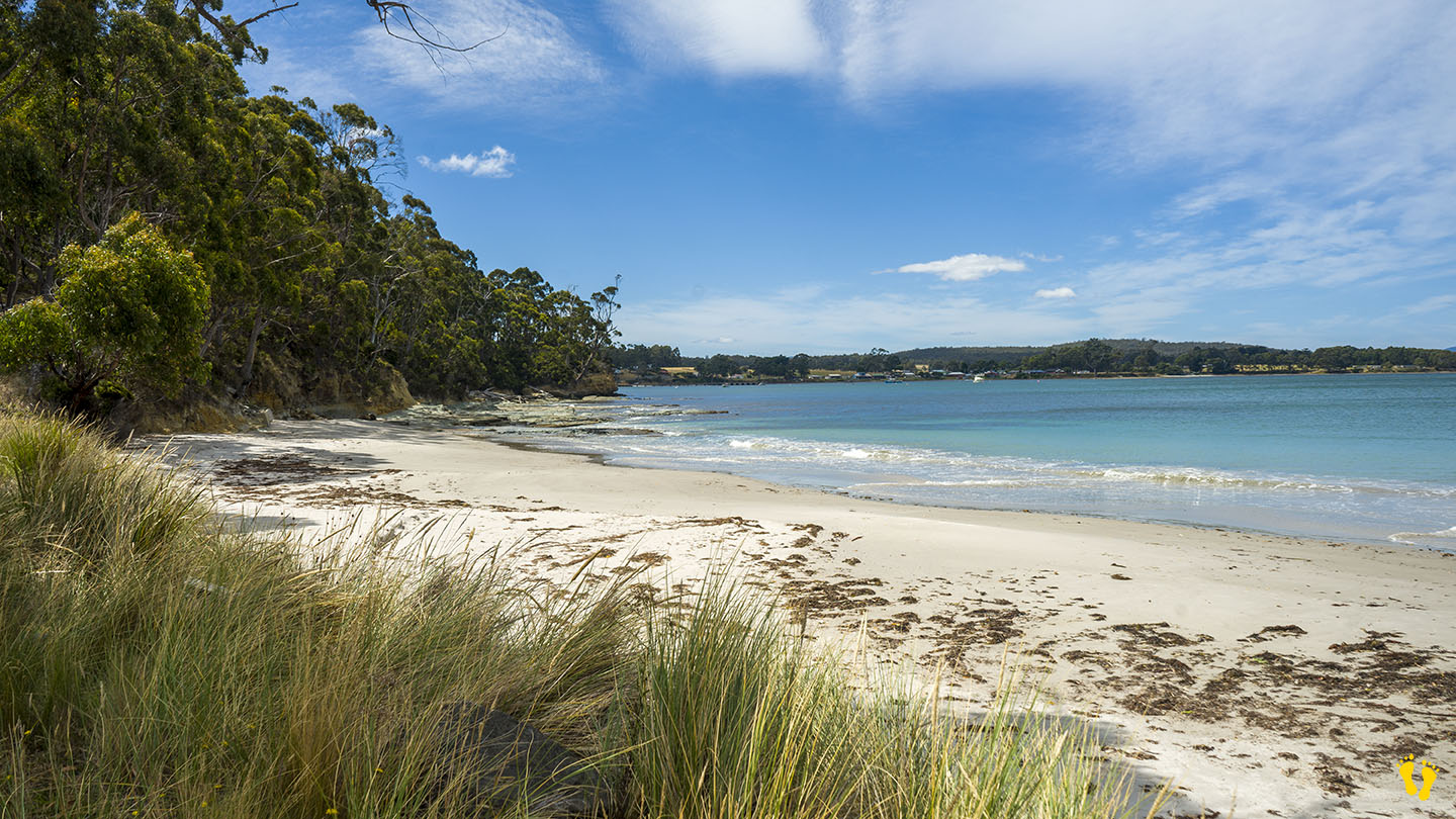
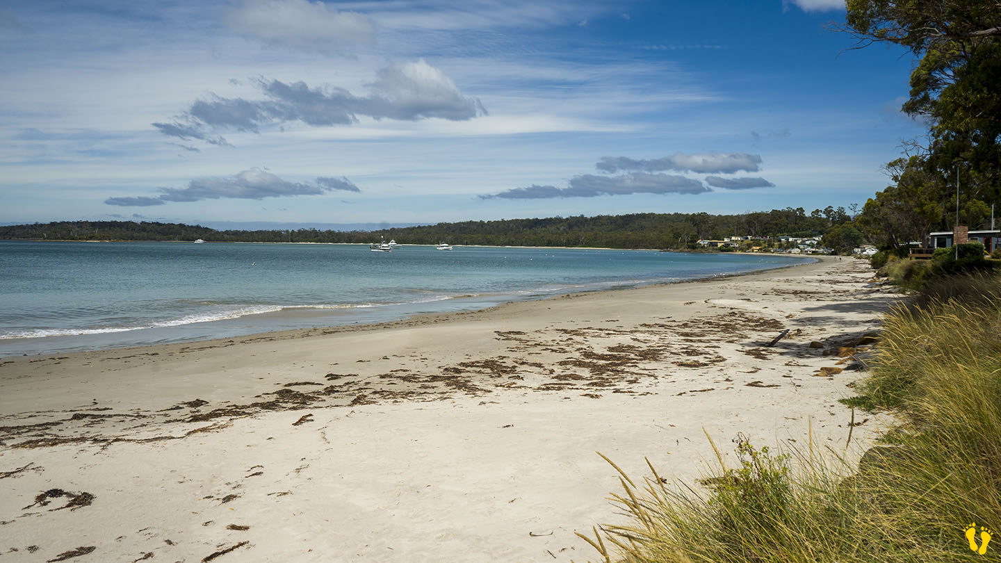
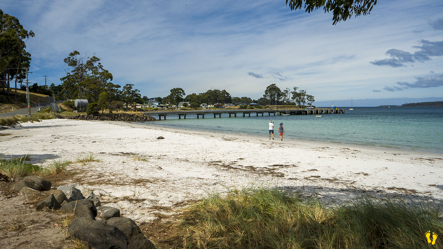
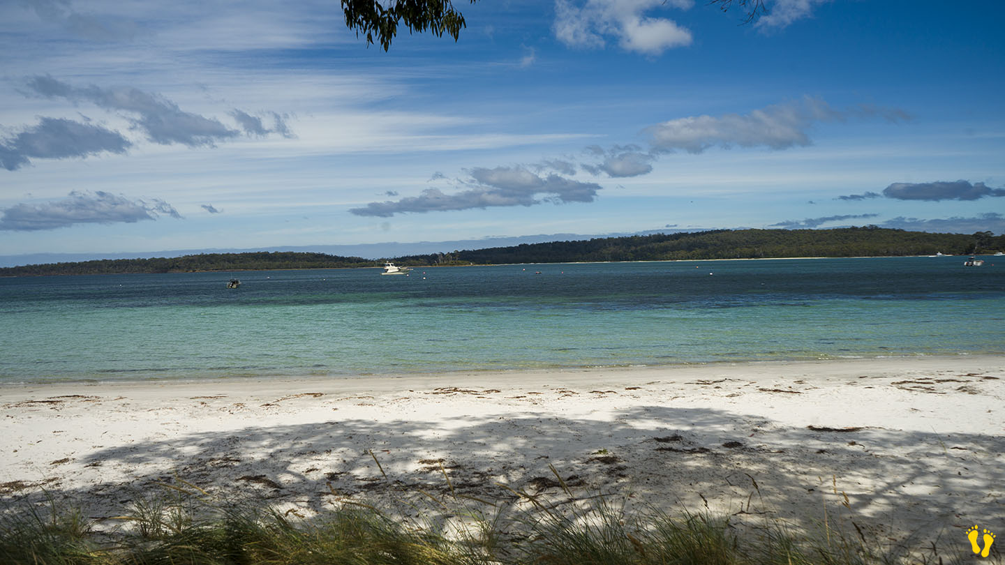
At the end of the Huon Highway 60 km from Huonville. A protected bay with a beautiful beach over 5 km long with pure white sand and aqua-blue water.
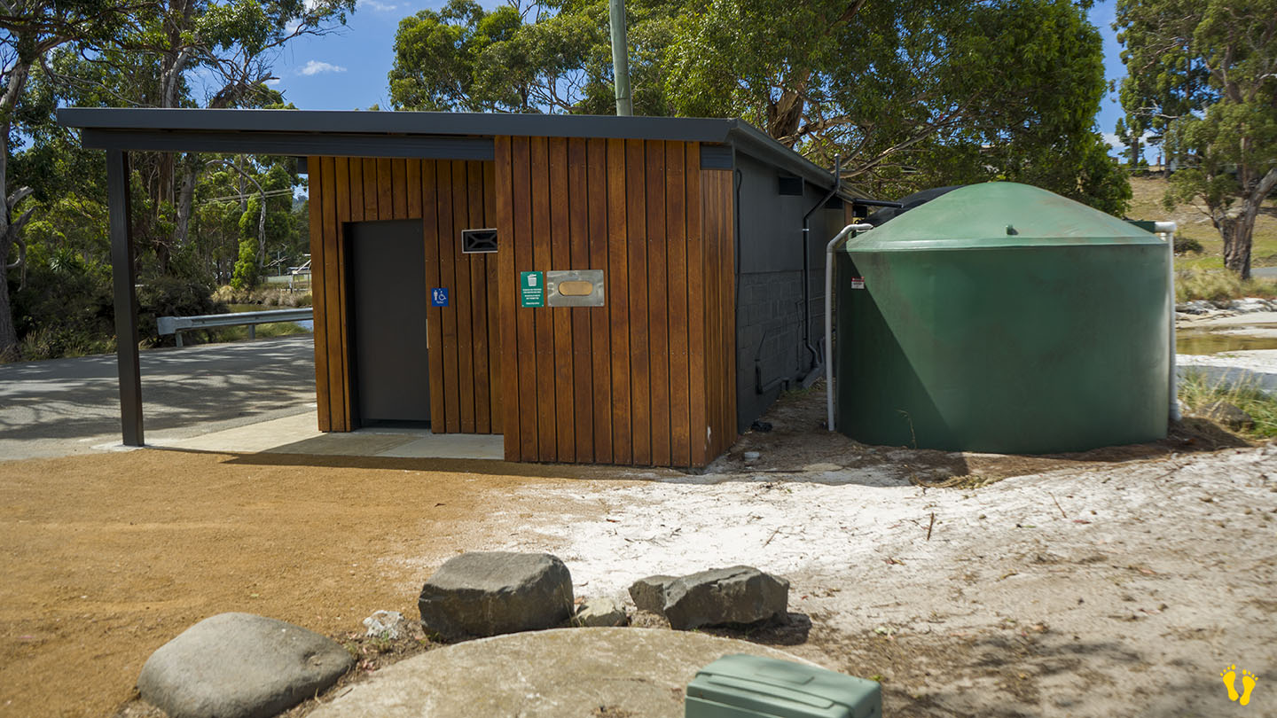
Access to the beach near the jetty has toilets and limited parking. Most of the beach is not easily accessible due to private residences, which is a real pity – potentially one of the best beaches in Tasmania has minimal access. A shop, hotel, caravan and camping ground are about 1km away.
Southport was named ‘Baie des Moules’ (Mussel Bay) in 1792 by the French explorer Admiral Bruni D’Entrecasteaux. The English later established a settlement in 1837 as the seat of the Colonial government in the far south and a convict Probation Station from 1841 to 1848. Settlers arrived in the 1850’s. The township was constructed with the help of convict labour from 1860 to 1920 – an emerging town for whaling, timber, and boat building. Southport was settled with convicts before Port Arthur was established and was once the largest town south of Hobart and the administrative hub of the entire region south of Hobart. A quieter place nowadays with recreational fishing.